Trails near Avigliano
18 hikes starting within 15 km, nearest first.
Nearest first
Medium · Trail
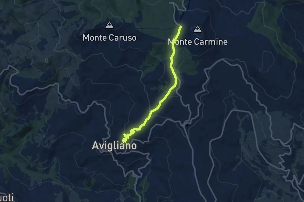
Monte Carmine – Avigliano
9.4 km · ↑ 325 m · 2 h 56 min · 4 km away
Medium · Trail
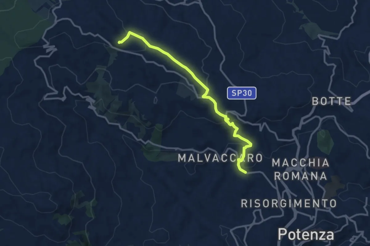
Croce Montocchio
10.6 km · ↑ 363 m · 3 h 18 min · 7 km away
Easy · Summit
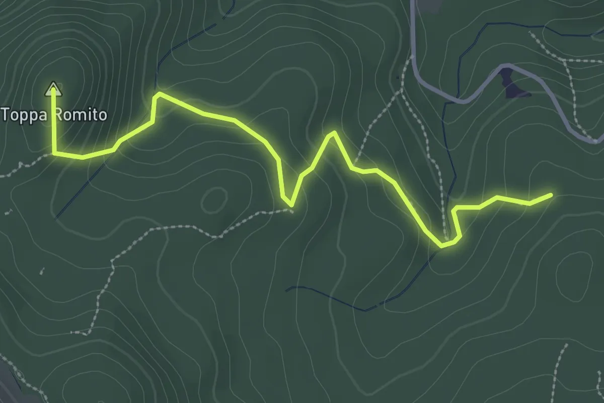
Lago Romito – Bosco del Principe
3.7 km · ↑ 194 m · 1 h 18 min · 7 km away
Easy · Trail
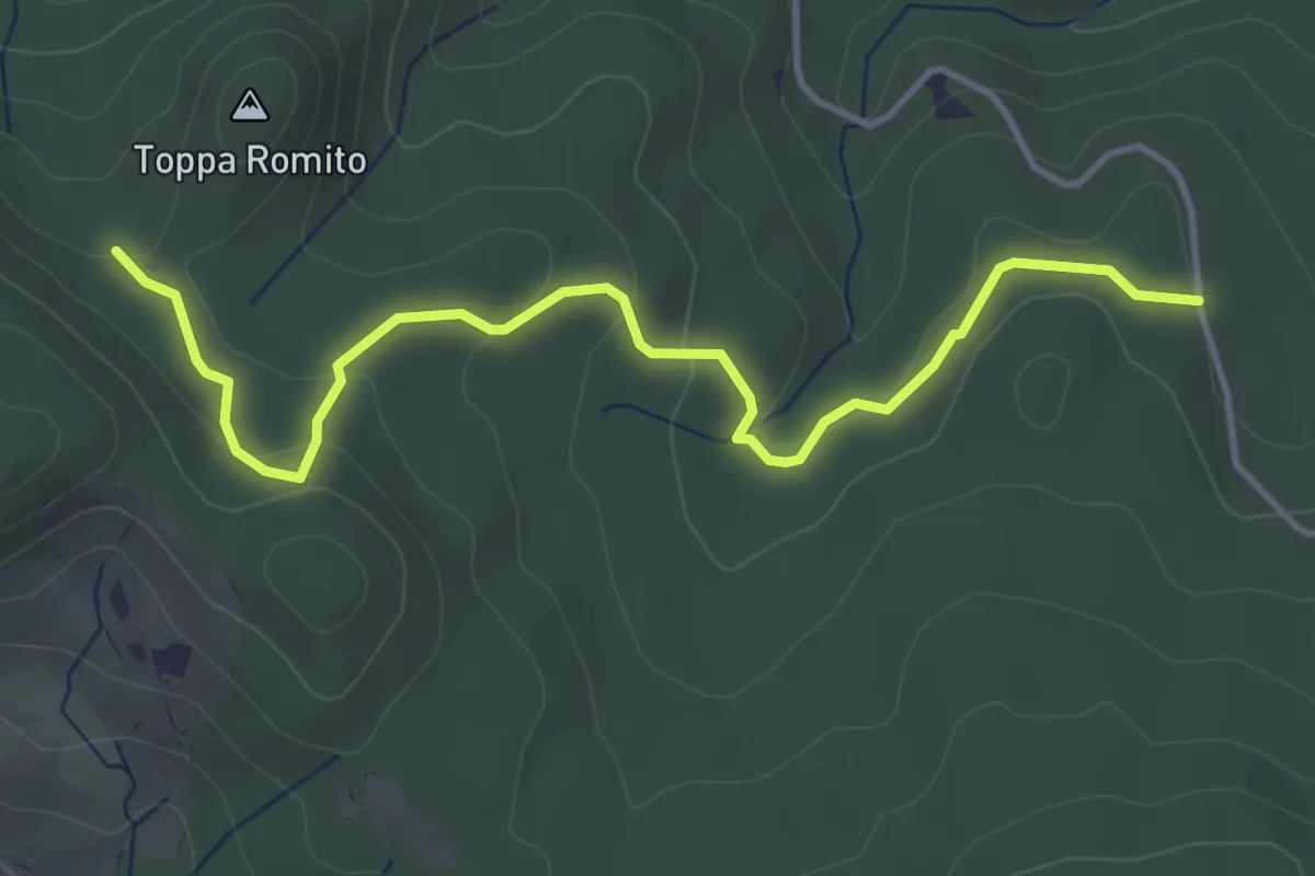
Bosco del Principe – Lago Romito
4.9 km · ↑ 157 m · 1 h 29 min · 7 km away
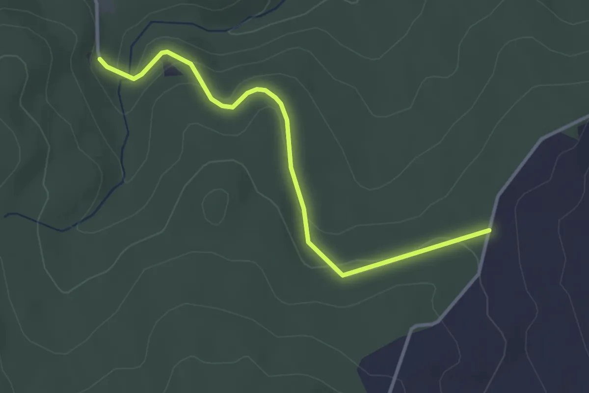
Easy · Trail
Ingresso Nord Est – Varco del Torno
3.7 km · ↑ 92 m · 1 h 4 min · 8 km away
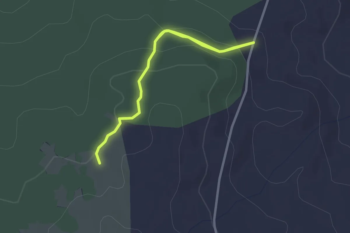
Easy · Trail
Ist. Zootecnico – F.na M.te Li Foi Nord
3.2 km · ↑ 115 m · 1 h · 8 km away
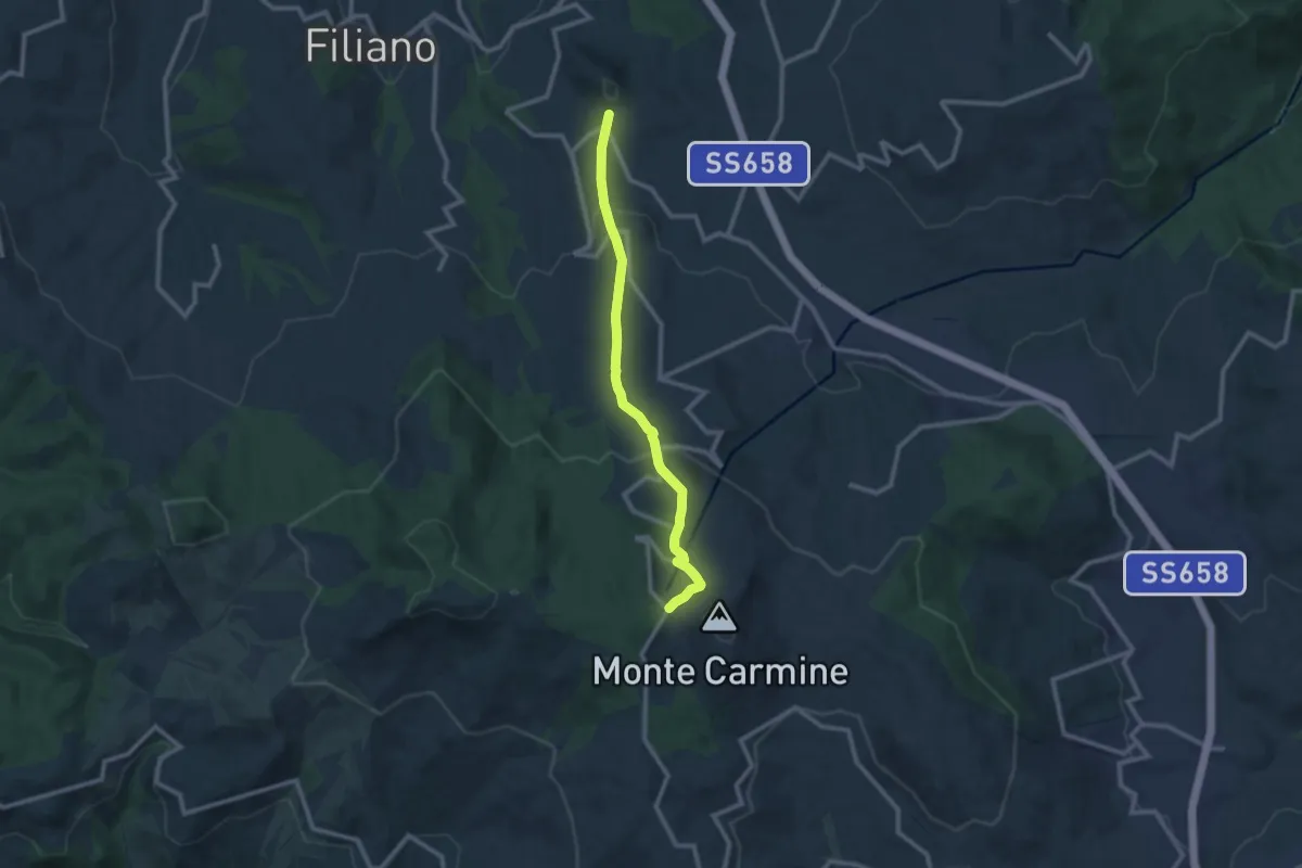
Medium · Trail
Lagopesole – Monte Carmine
10.8 km · ↑ 410 m · 3 h 26 min · 8 km away
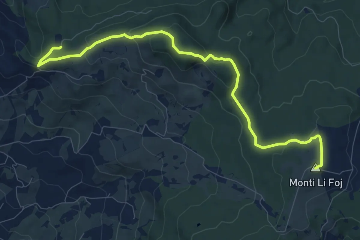
Medium · Summit
Piano della Nevena – Monte Li Foj di Picerno
11.0 km · ↑ 371 m · 3 h 24 min · 8 km away
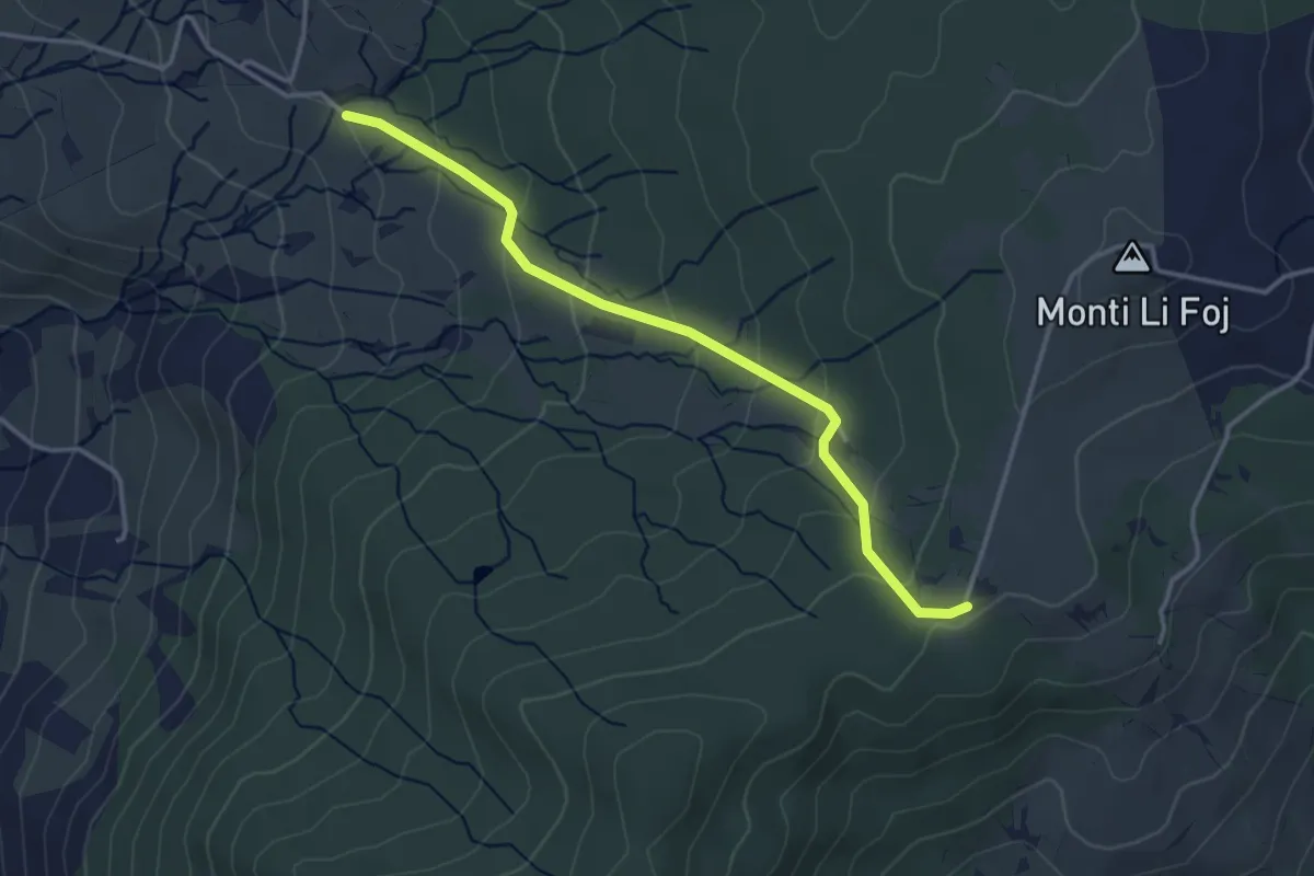
Easy · Trail
Piano Cerasa – Serra Vallina
3.9 km · ↑ 164 m · 1 h 16 min · 9 km away
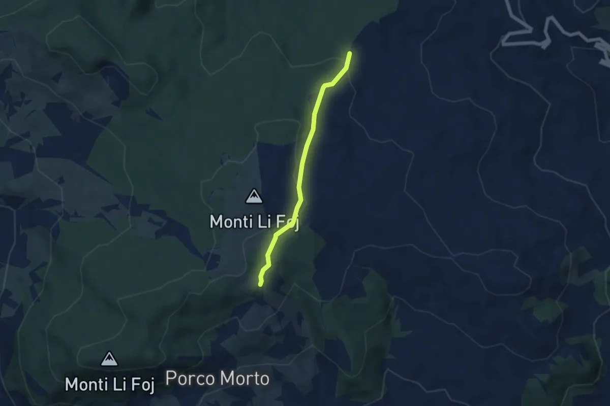
Easy · Trail
Strada comunale Serra del Cerro – Fontanalunga (Percorso 209)
5.1 km · ↑ 162 m · 1 h 33 min · 10 km away
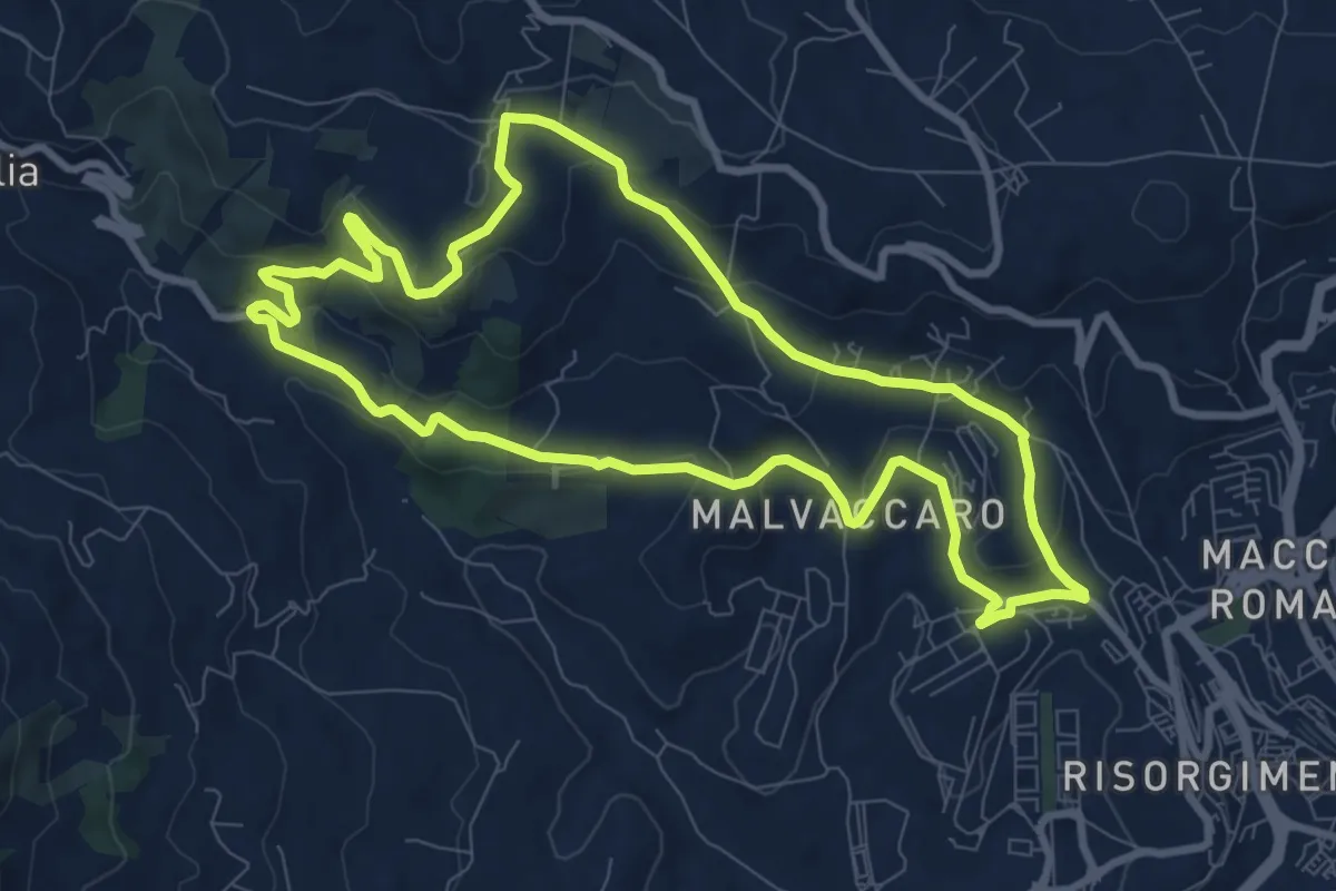
Medium · Trail
Trekking Urbano Montocchino Cerreta
9.7 km · ↑ 266 m · 3 h 1 min · 10 km away
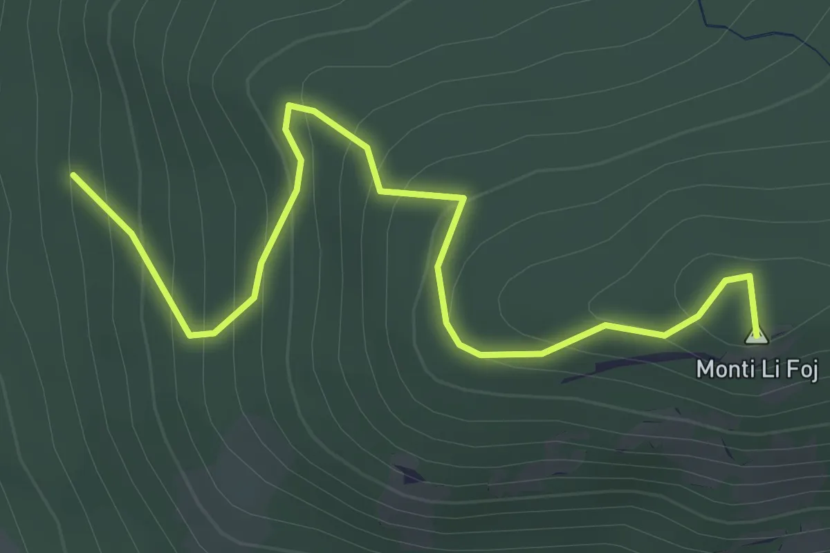
Easy · Summit
Bosco Li Foi – Monte Li Foi
2.4 km · ↑ 169 m · 56 min · 11 km away
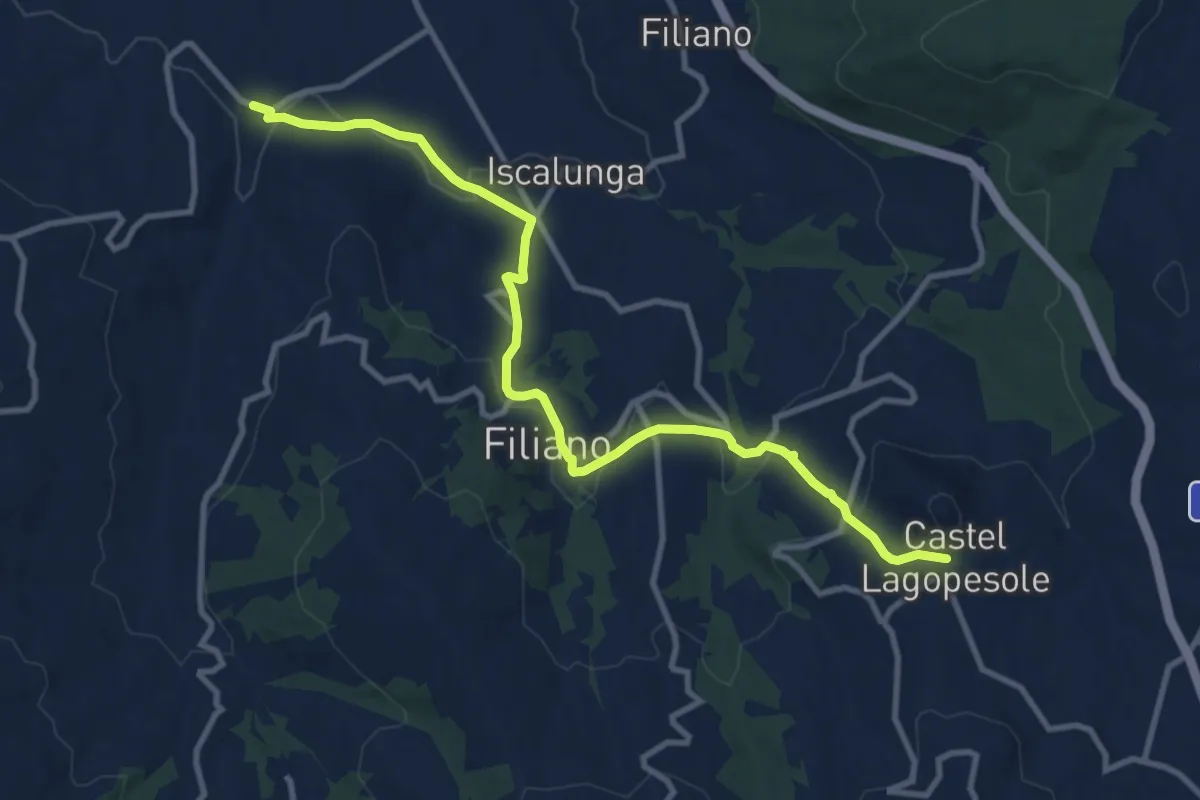
Medium · Trail
Inforchia – Lagopesole
12.5 km · ↑ 382 m · 3 h 47 min · 11 km away
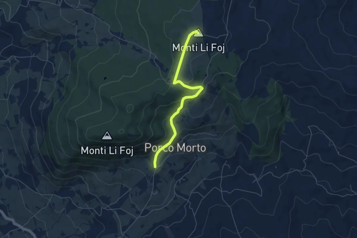
Easy · Summit
Str Com Serra del Cerro – Monte Li Foi di Picerno
6.0 km · ↑ 233 m · 1 h 55 min · 11 km away
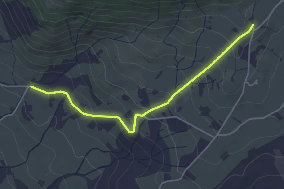
Easy · Trail
Le Coste-Chiesetta Porco Morto – Scarsarelle
4.0 km · ↑ 196 m · 1 h 23 min · 12 km away
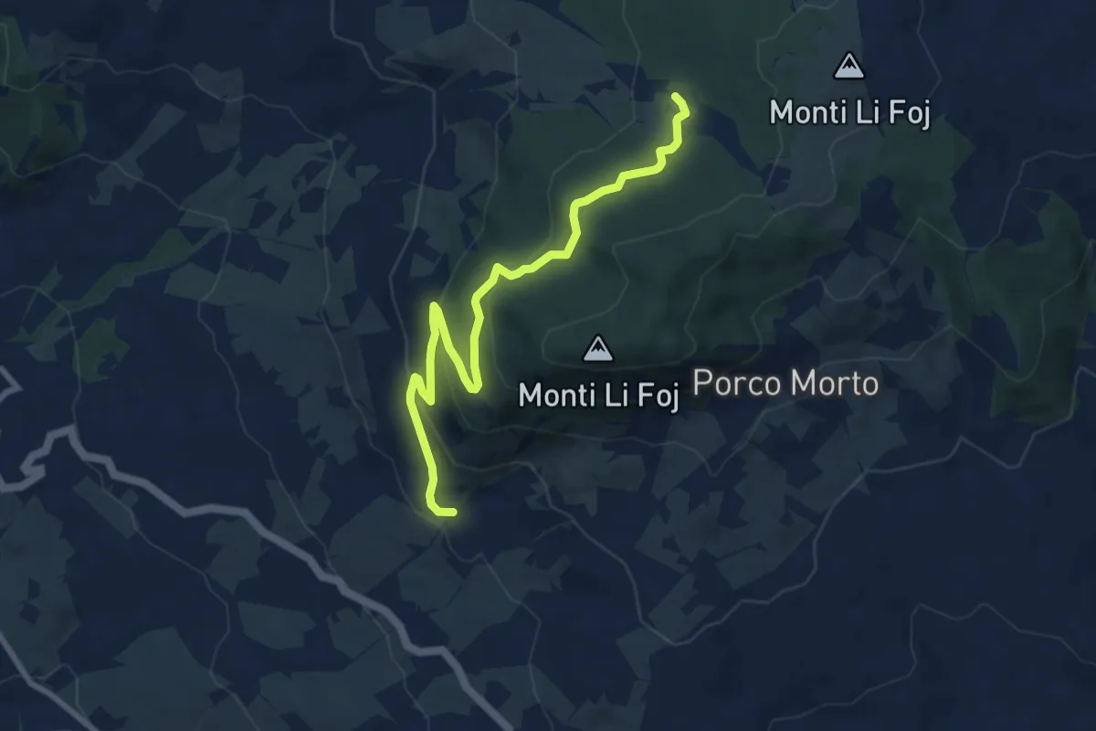
Medium · Trail
Le Coste – Mandra Li Foi
9.2 km · ↑ 375 m · 2 h 59 min · 12 km away
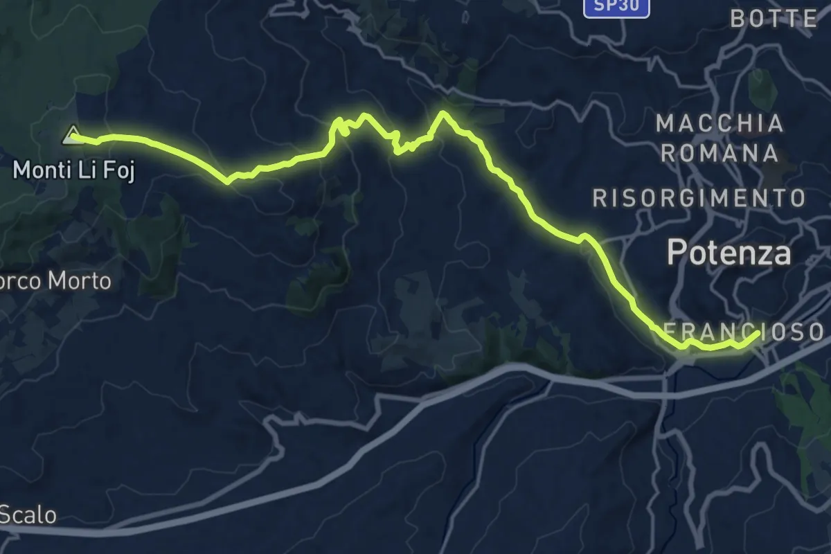
Demanding · Summit
Potenza – Monte Li Foi
22.8 km · ↑ 712 m · 6 h 56 min · 14 km away
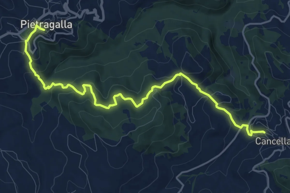
Medium · Trail
Pietragalla – Cancellara
13.7 km · ↑ 682 m · 4 h 42 min · 14 km away