Trails near Ballabio
379 hikes starting within 15 km, nearest first.
Nearest first, page 8 of 8
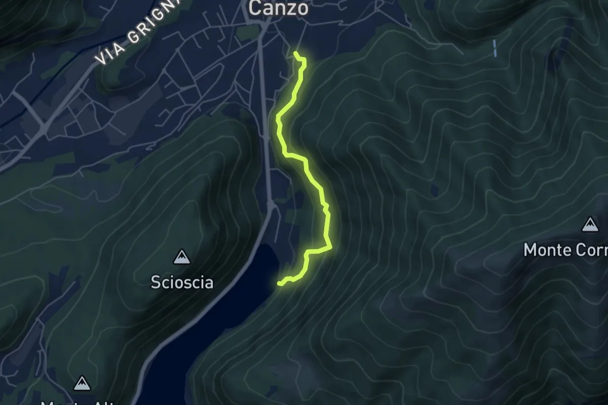
Medium · Trail
Sentiero di Budracch
4.2 km · ↑ 399 m · 1 h 52 min · 14 km away
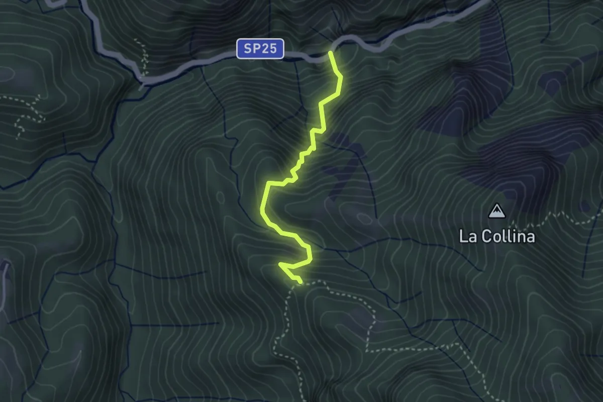
Medium · Trail
Orridi Val Taleggio – Incrocio 595B
3.0 km · ↑ 410 m · 1 h 36 min · 14 km away
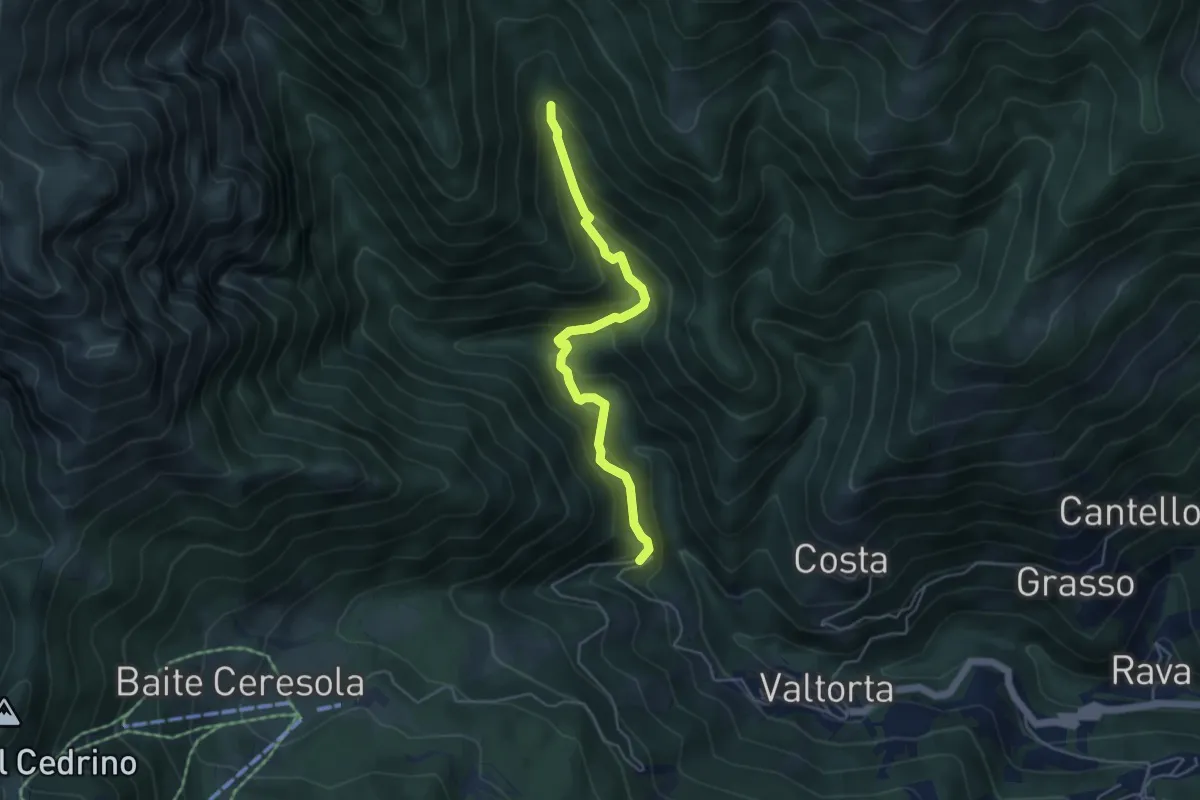
Medium · Trail
Gualtieri (Valtorta) – Incrocio 104
4.5 km · ↑ 385 m · 1 h 54 min · 14 km away
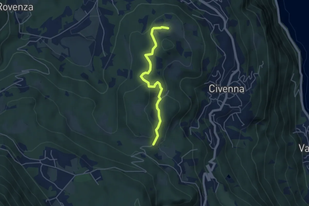
Easy · Trail
C.na Tronca (Bellagio) – Stalle di Villa Mora (Bellagio)
4.0 km · ↑ 166 m · 1 h 18 min · 14 km away
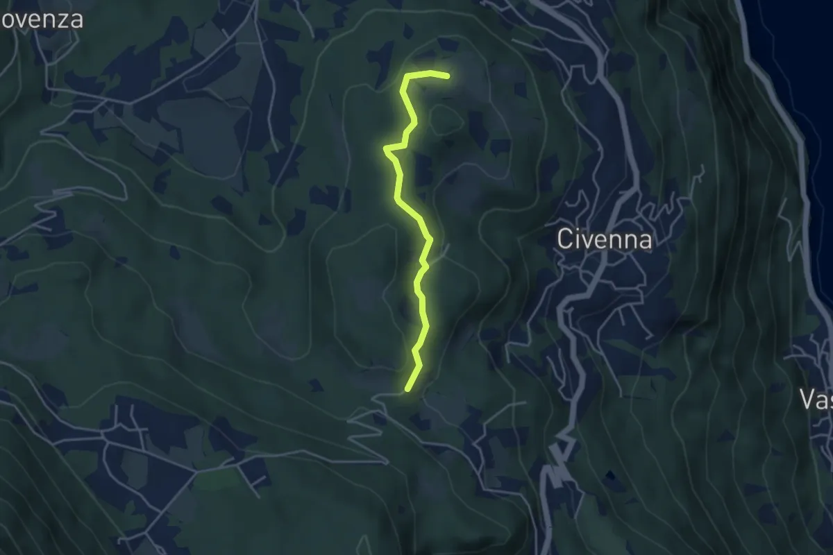
Easy · Trail
C.na Tronca (Bellagio) – Stalle di Villa Mora (Bellagio)
3.5 km · ↑ 126 m · 1 h 6 min · 14 km away
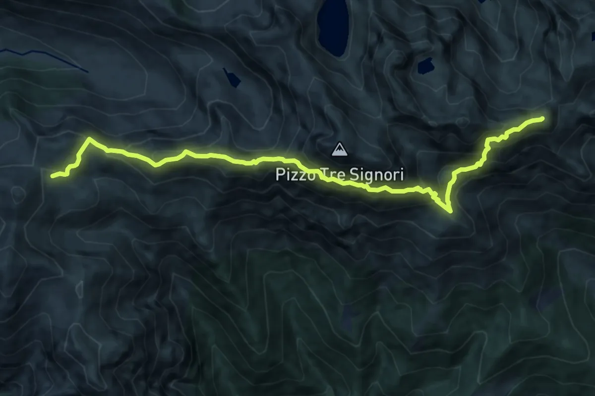
Demanding · Summit
Sentiero dei Laghi Alto - Tappa 2
12.2 km · ↑ 1012 m · 5 h 5 min · 14 km away
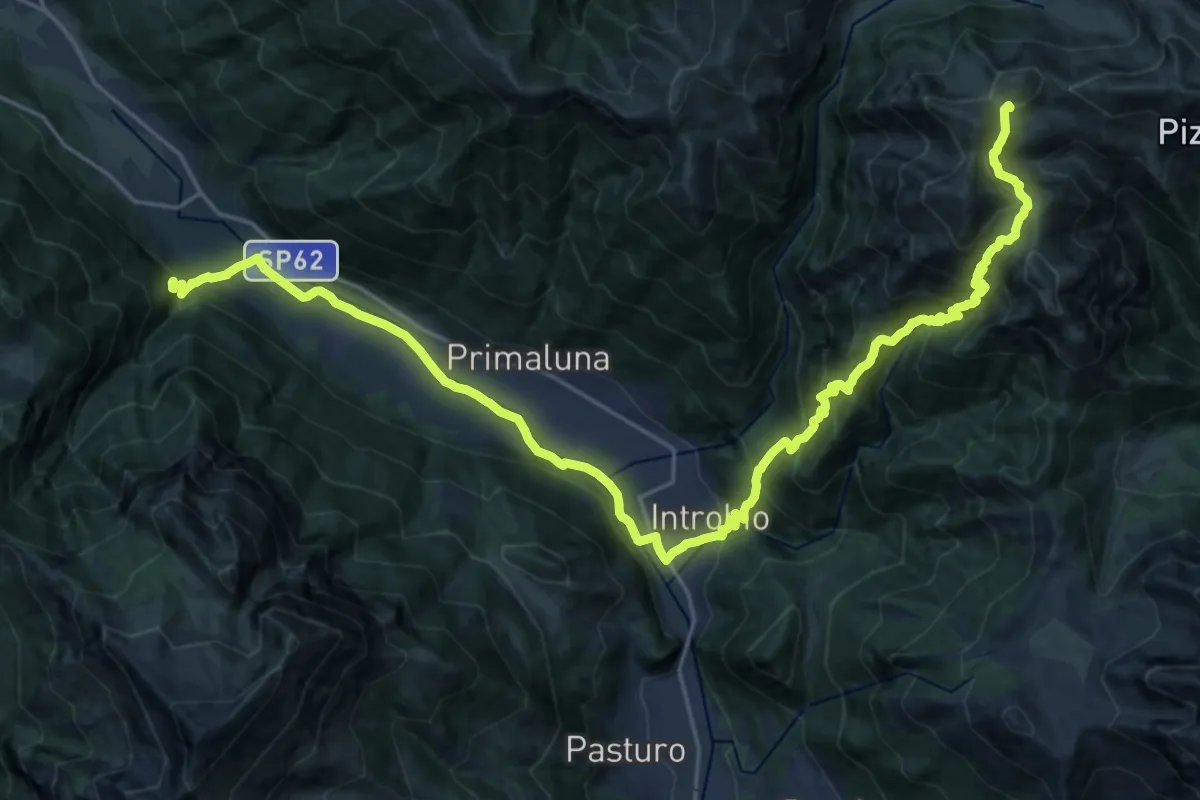
Demanding · Summit
CamminaForeste - Tappa 7D
30.0 km · ↑ 1936 m · 11 h 16 min · 14 km away
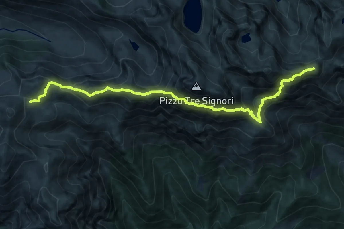
Demanding · Summit
CamminaForeste - Tappa 7C
12.2 km · ↑ 1015 m · 5 h 4 min · 14 km away
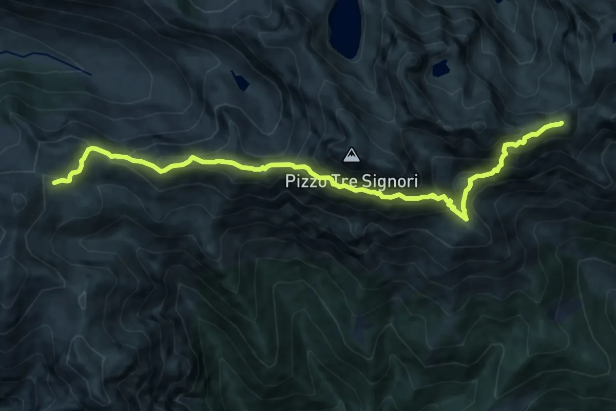
Demanding · Summit
101 - Tappa 4
12.2 km · ↑ 1015 m · 5 h 4 min · 14 km away
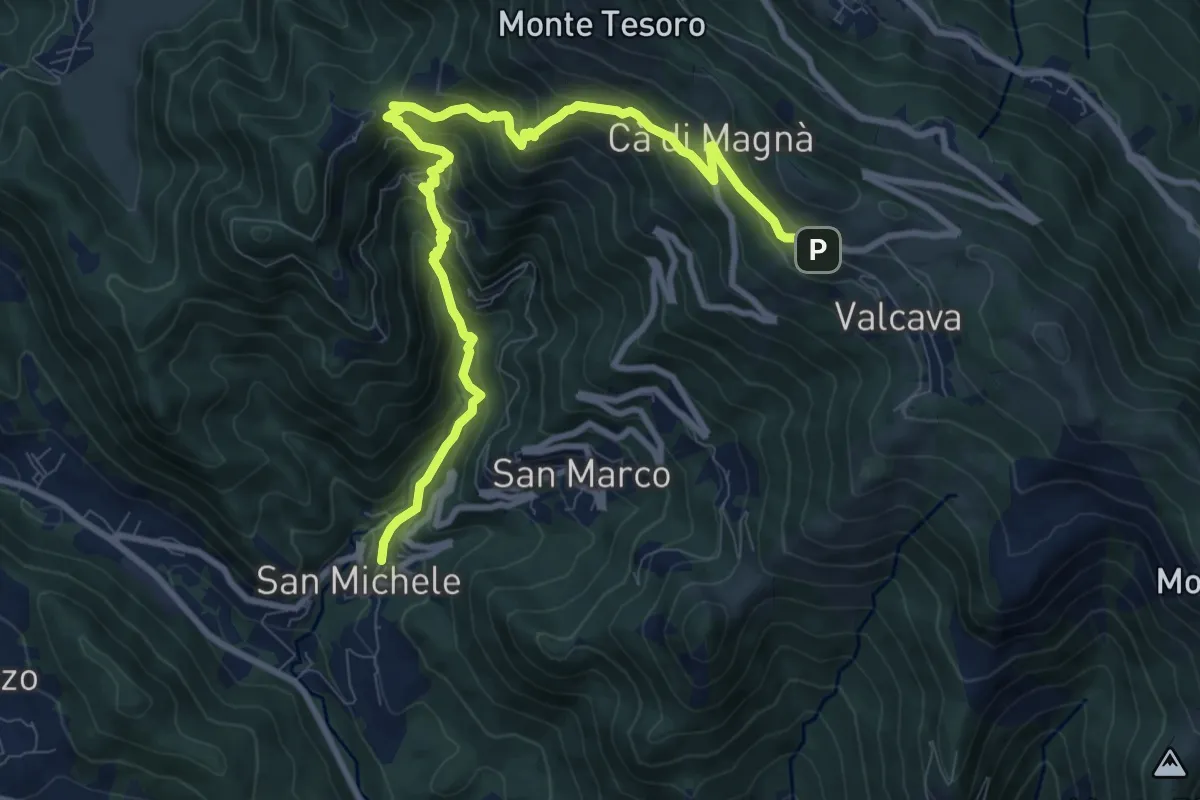
Demanding · Trail
Torre de' Busi – Valcava
10.8 km · ↑ 894 m · 4 h 29 min · 14 km away
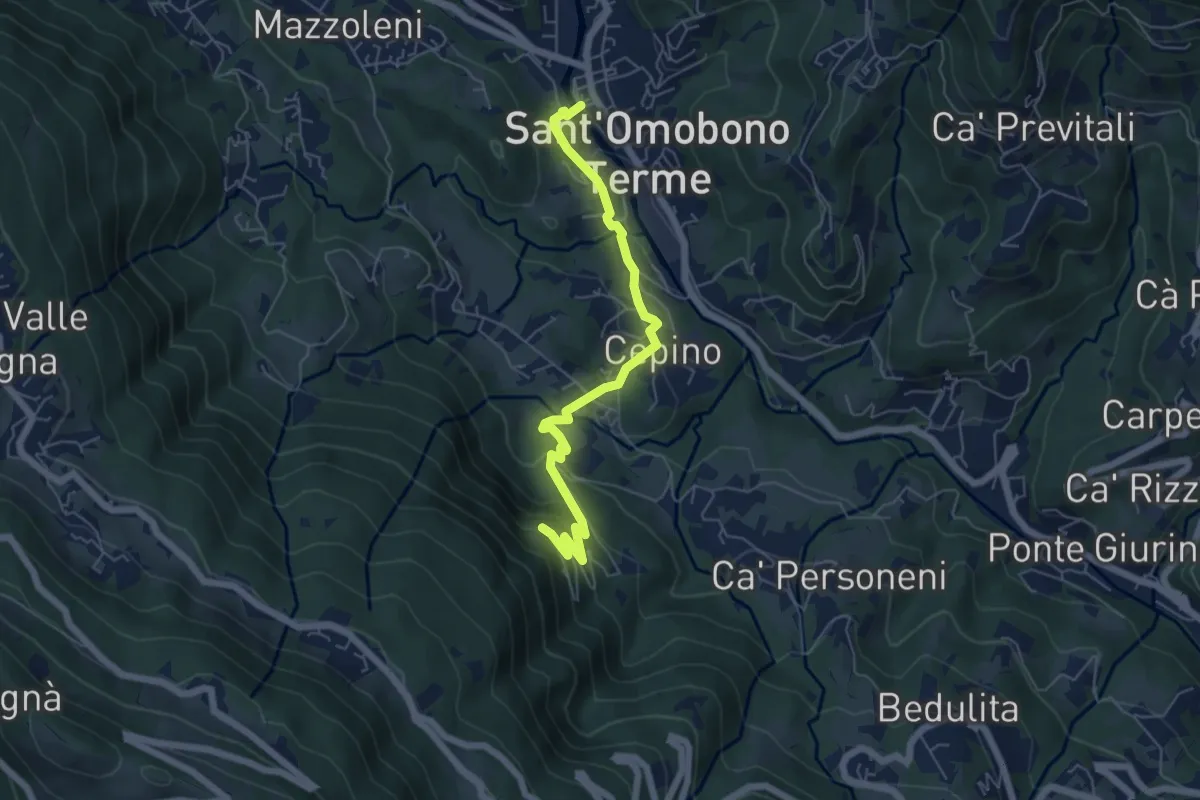
Easy · Trail
Selino Basso – Santuario della Cornabusa
6.0 km · ↑ 293 m · 2 h 3 min · 14 km away
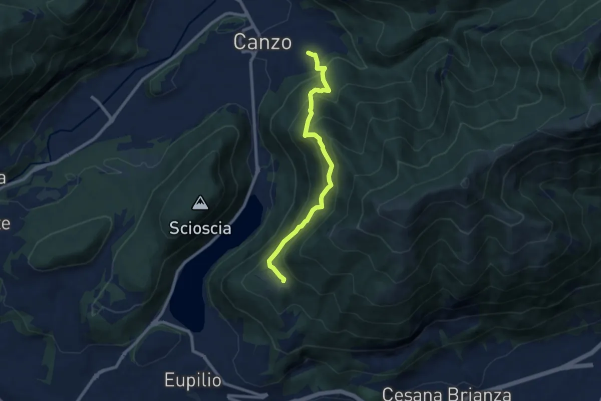
Medium · Trail
Senterun
6.7 km · ↑ 648 m · 2 h 59 min · 14 km away
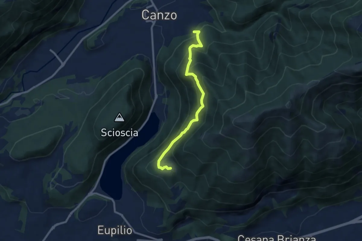
Medium · Trail
Rifugio SEC "Marisa Consigliere" – Alpe di Carella
6.6 km · ↑ 618 m · 2 h 54 min · 14 km away
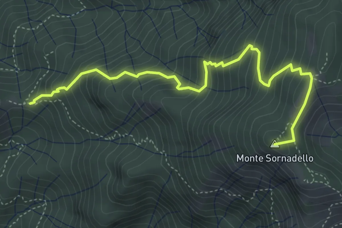
Medium · Summit
Incrocio 595 – Incrocio 595
5.0 km · ↑ 635 m · 2 h 33 min · 14 km away
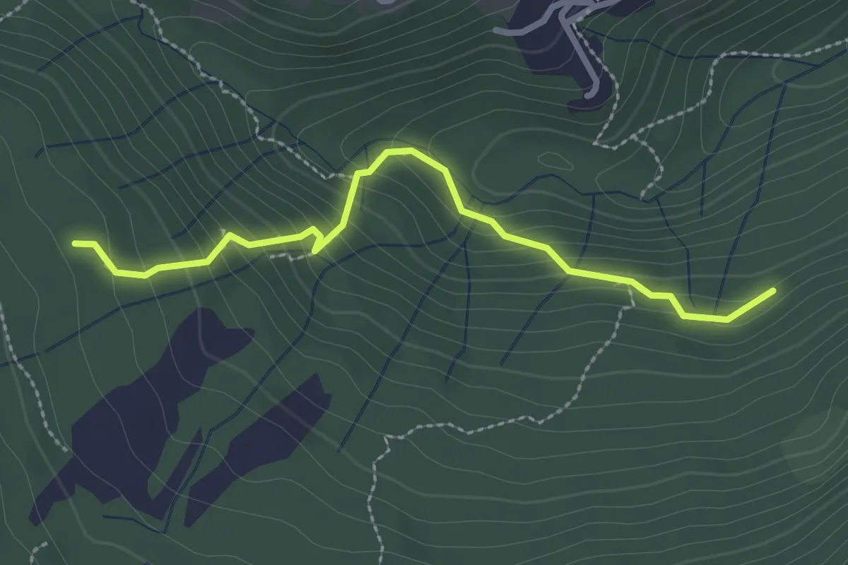
Medium · Trail
Funghi e boschi di Rezzago – Selva di Rezzago
2.6 km · ↑ 216 m · 1 h 5 min · 14 km away
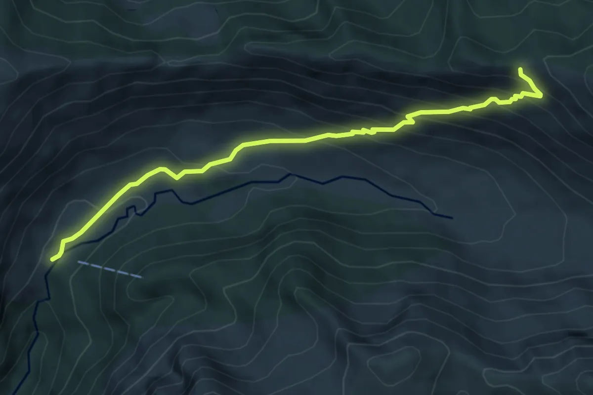
Medium · Cabin
Sentiero 38
6.0 km · ↑ 495 m · 2 h 29 min · 14 km away
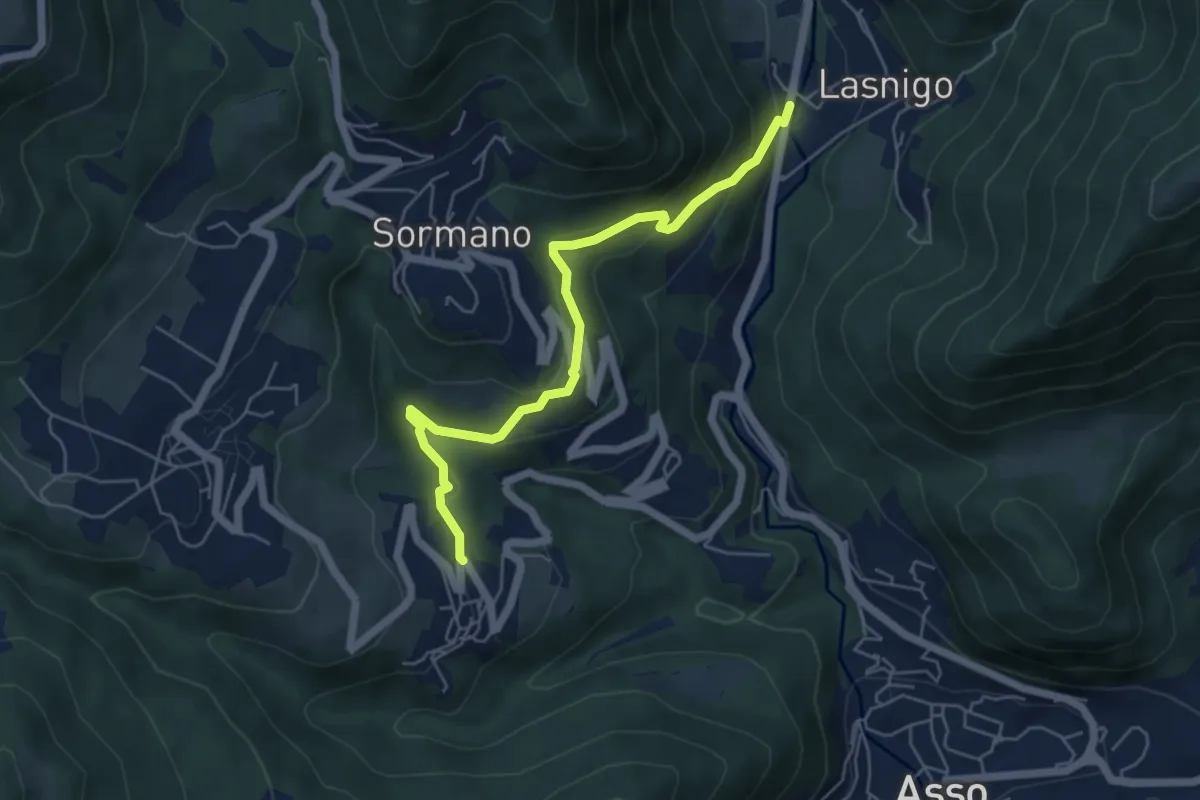
Easy · Trail
Bocchetta di Palanzo – Santi Cosma e Damiano (Rezzago)
5.5 km · ↑ 257 m · 1 h 52 min · 14 km away
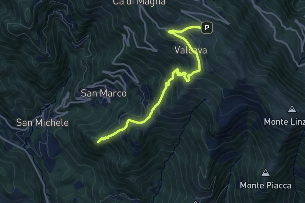
Medium · Summit
Torre de' Busi – Ripetitori (Valcava)
8.7 km · ↑ 620 m · 3 h 23 min · 14 km away
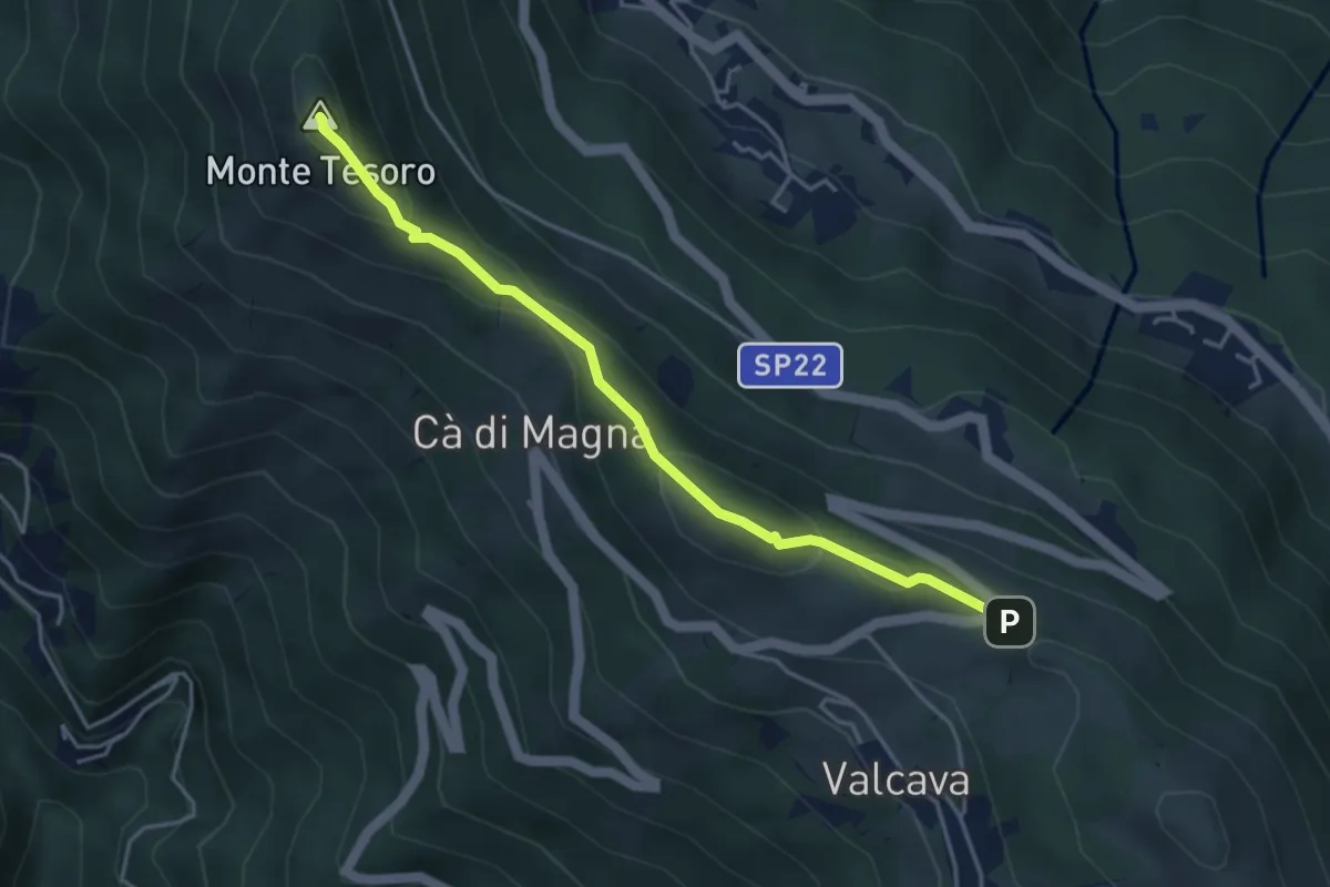
Medium · Summit
Ripetitori (Valcava) – Convento del Pertus
4.1 km · ↑ 216 m · 1 h 27 min · 14 km away
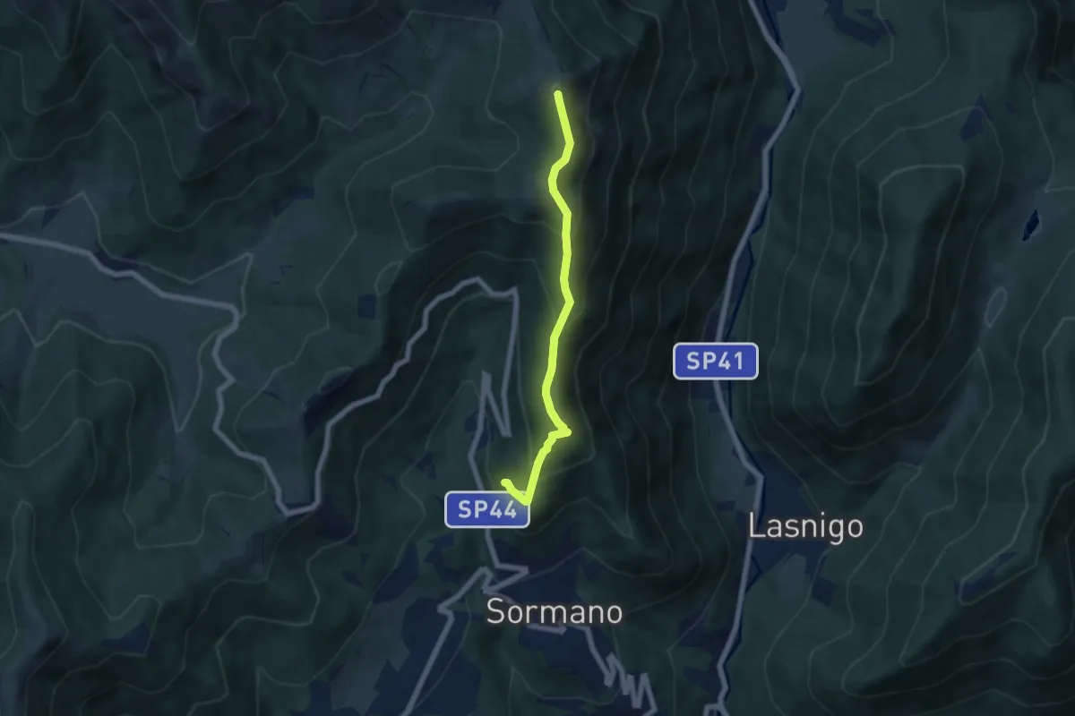
Medium · Summit
Salita per Colma del Bosco – Salita per Colma del Bosco
5.5 km · ↑ 398 m · 2 h 9 min · 14 km away
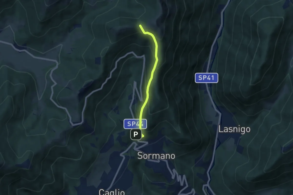
Medium · Trail
Sormano – Colma del Bosco
4.8 km · ↑ 392 m · 1 h 59 min · 14 km away
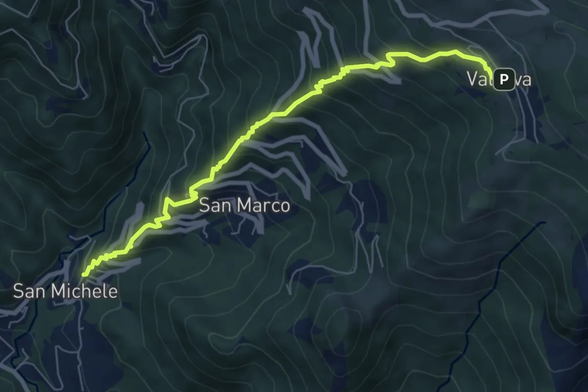
Medium · Trail
Torre de' Busi – Valcava
6.9 km · ↑ 790 m · 3 h 20 min · 14 km away
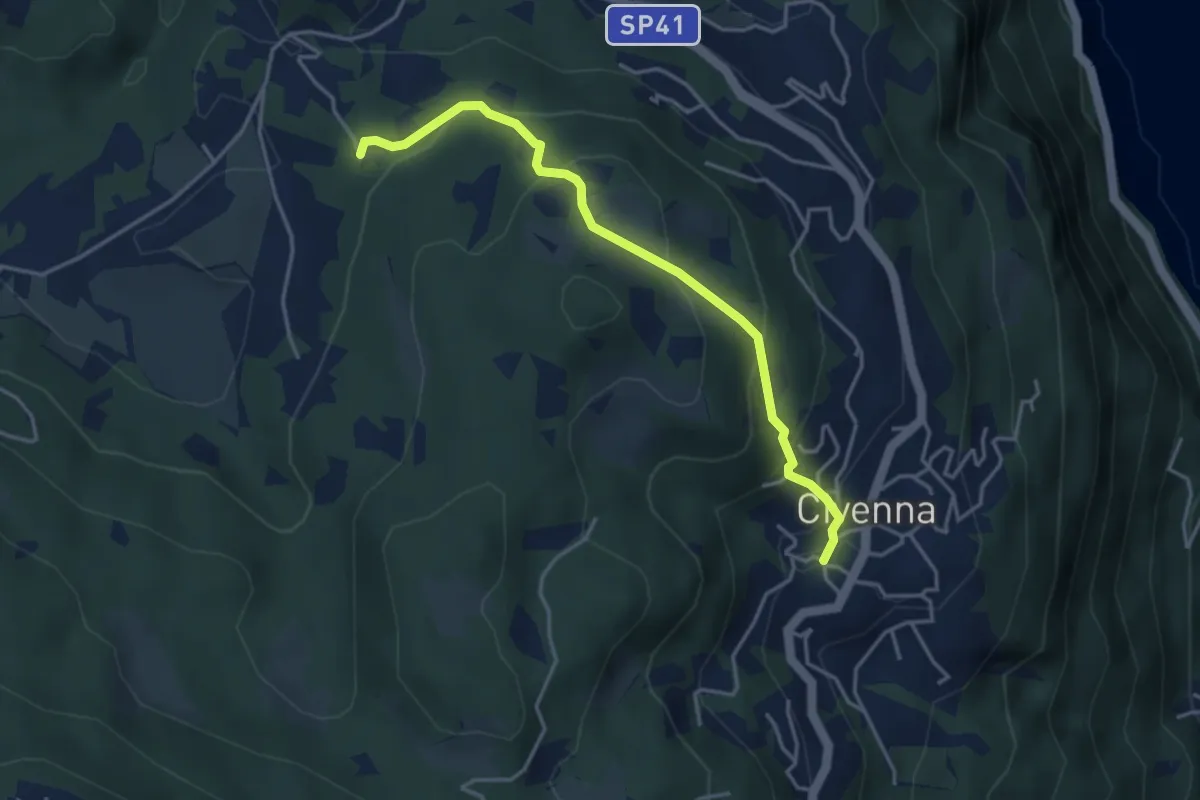
Easy · Trail
Civenna – Villa Mora (Bellagio)
4.0 km · ↑ 250 m · 1 h 29 min · 14 km away
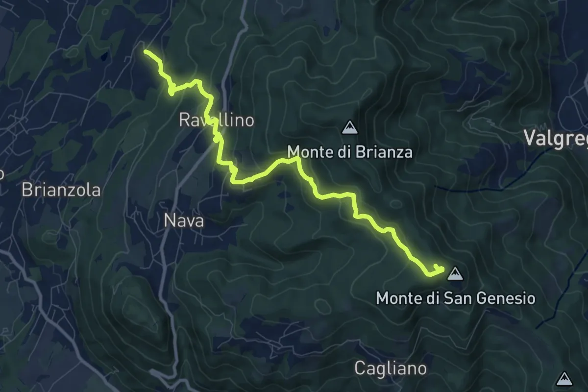
Medium · Summit
Marconaga – Monte di San Genesio
9.9 km · ↑ 516 m · 3 h 28 min · 14 km away
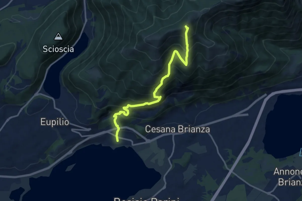
Demanding · Summit
Pusiano – Monte Cornizzolo
9.6 km · ↑ 1053 m · 4 h 32 min · 14 km away
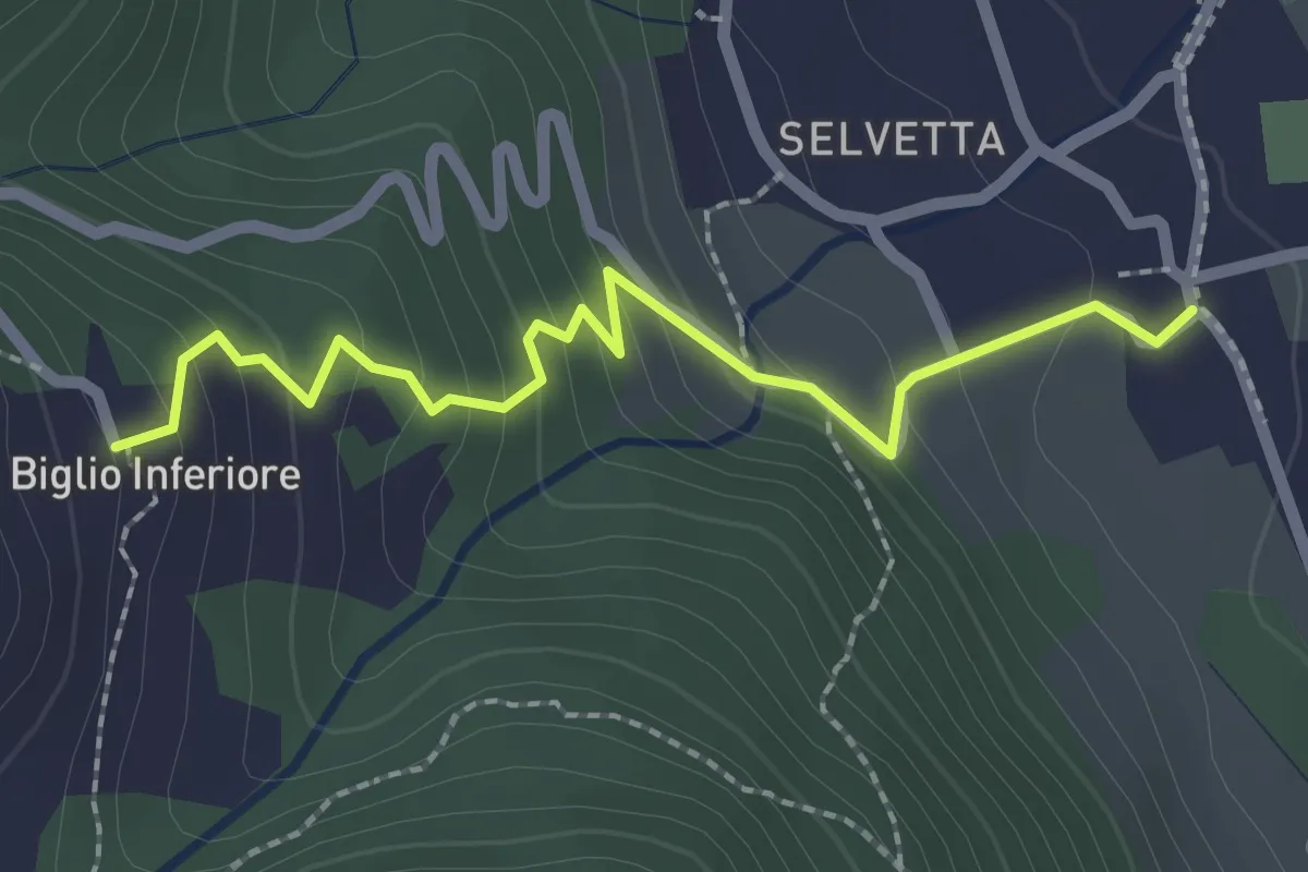
Easy · Trail
Valgreghentino – Biglio Inferiore
2.3 km · ↑ 184 m · 57 min · 14 km away
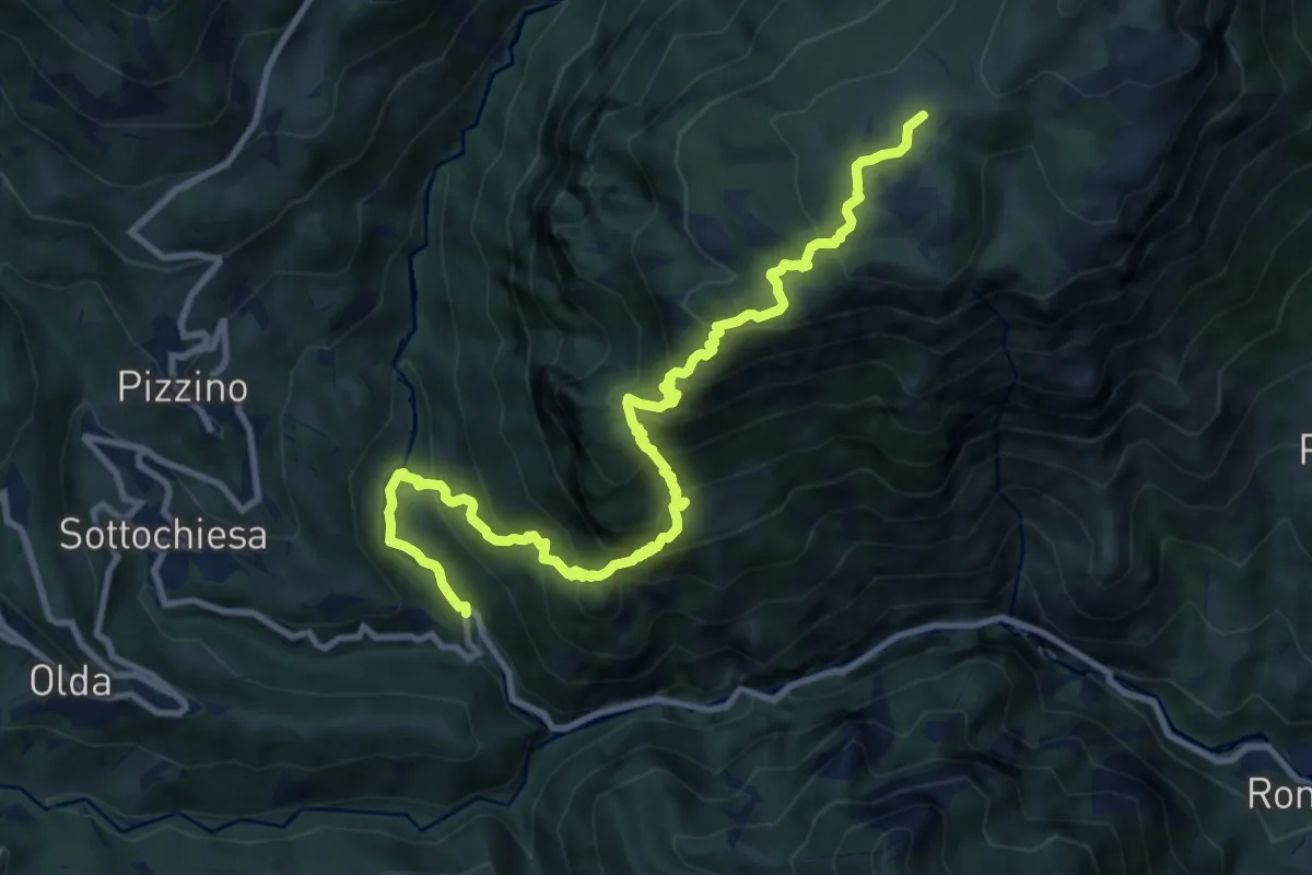
Demanding · Trail
Taleggio (Ponte del Becco) – Baita Cancervo
12.2 km · ↑ 1126 m · 5 h 19 min · 14 km away
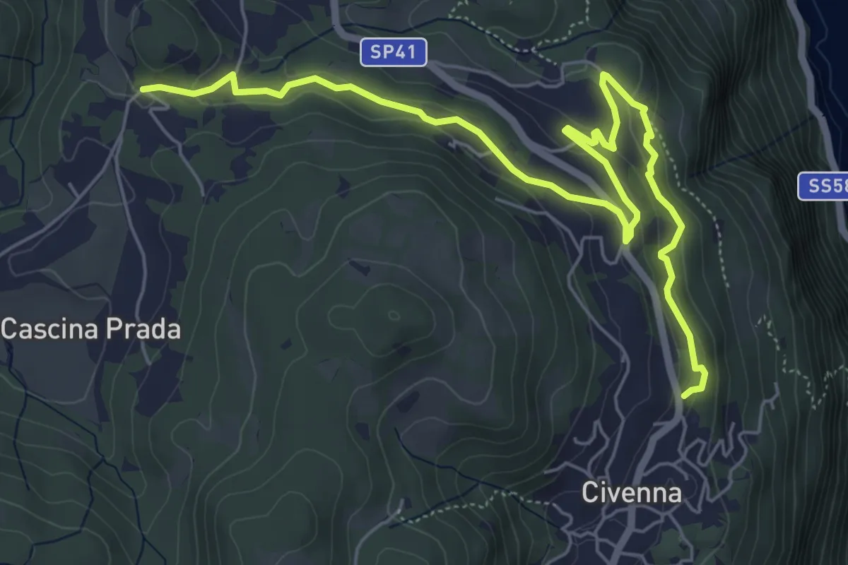
Easy · Trail
Belvedere delle Grigne (Civenna) – Regina Pacis (Bellagio)
7.5 km · ↑ 267 m · 2 h 21 min · 14 km away
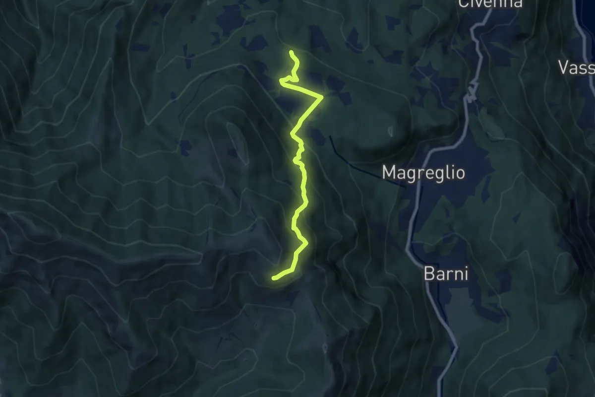
Medium · Trail
Pietra Luna – Innesto Dorsale
6.7 km · ↑ 501 m · 2 h 41 min · 14 km away
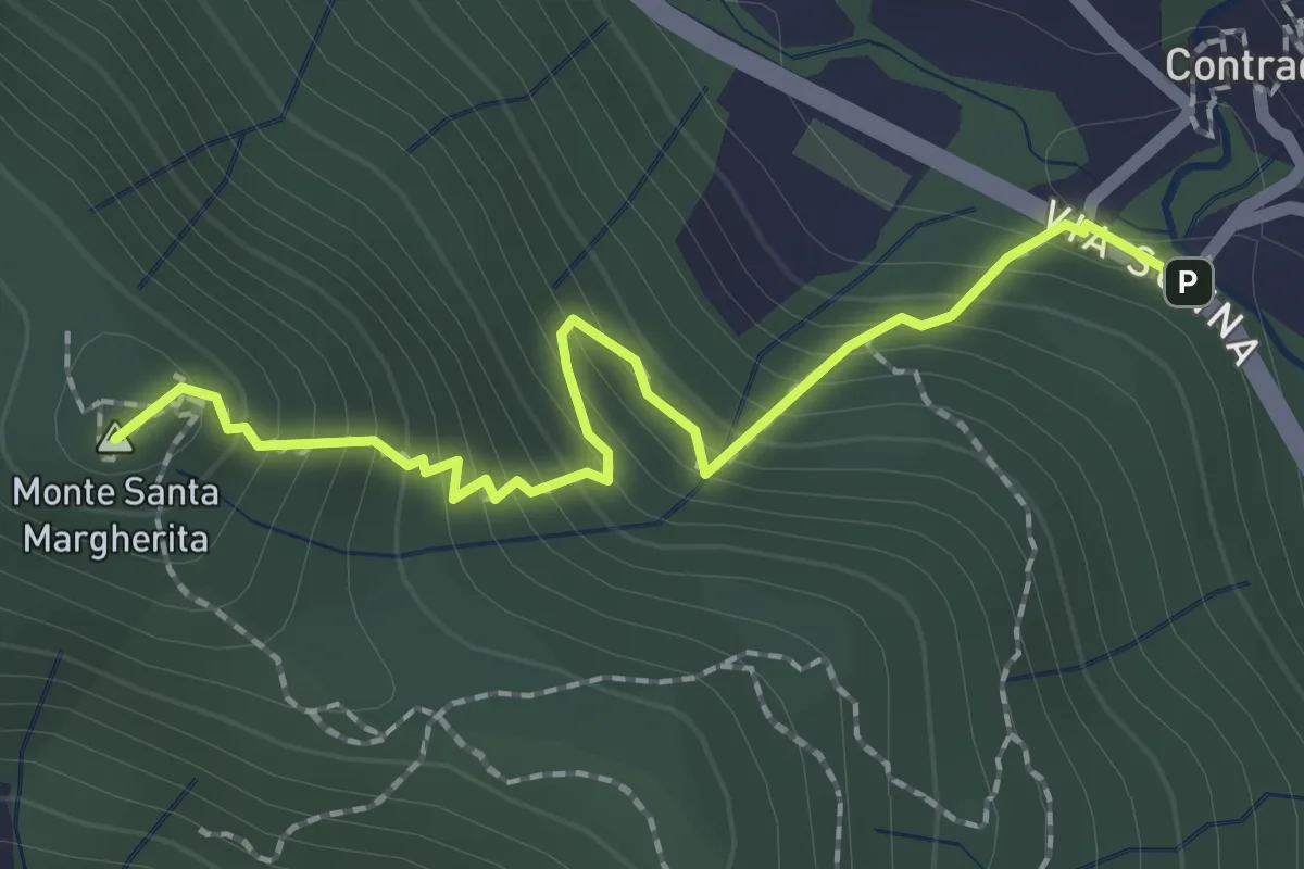
Medium · Summit
Contrada (Torre de' Busi) – S. Margherita (Monte Marenzo)
2.2 km · ↑ 259 m · 1 h 5 min · 15 km away
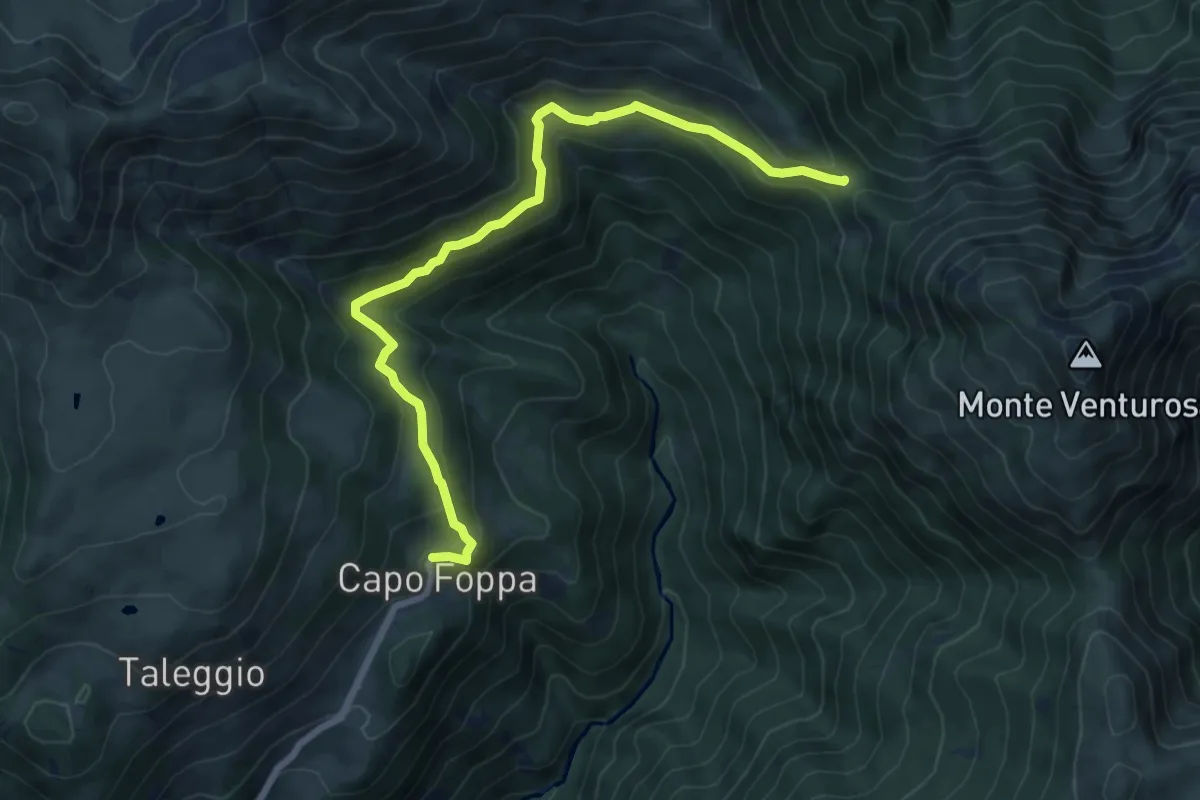
Medium · Trail
Capofoppa (Pizzino) – Passo Baciamorti
7.8 km · ↑ 425 m · 2 h 46 min · 15 km away
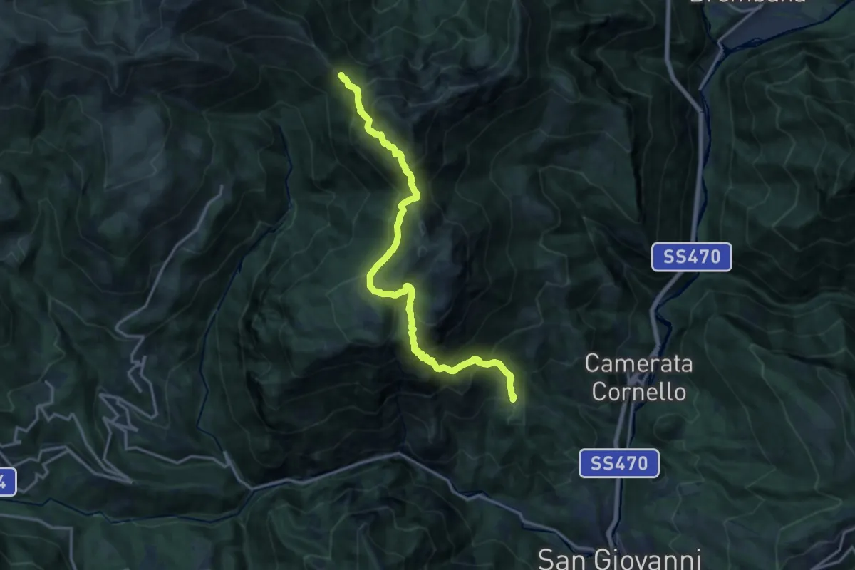
Demanding · Trail
San Giovanni Bianco (Pianca) – Passo Baciamorti
15.0 km · ↑ 1530 m · 6 h 51 min · 15 km away
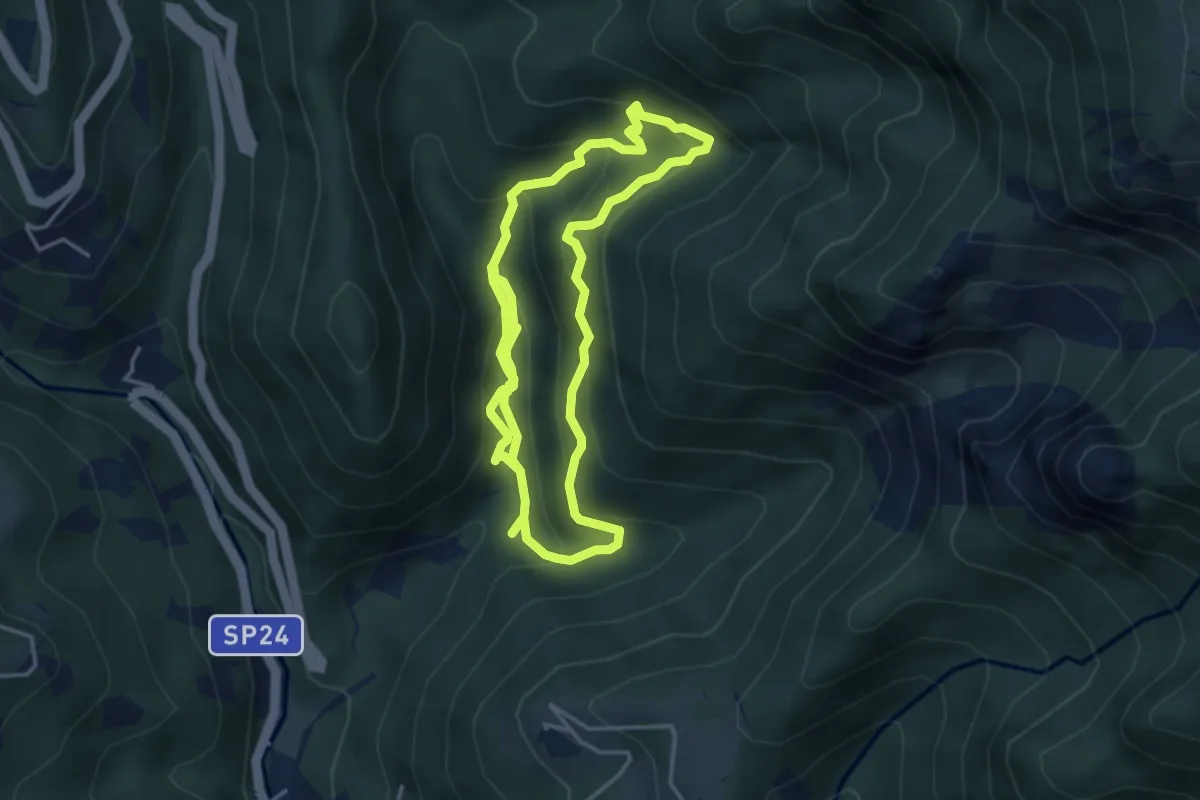
Medium · Trail
Itinerario delle Calchere
7.6 km · ↑ 589 m · 3 h 4 min · 15 km away
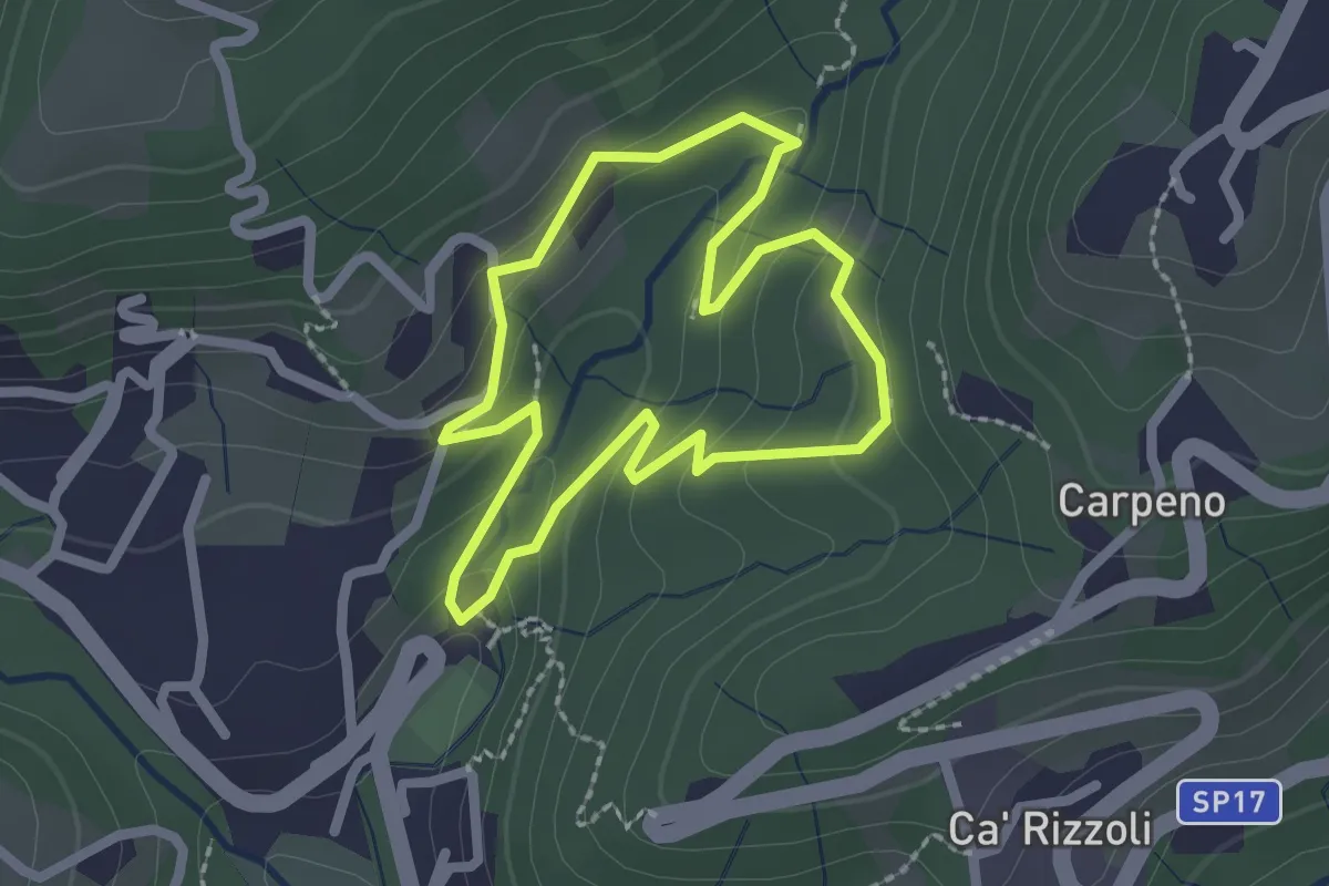
Easy · Trail
Valle del Brunone Percorso B
2.0 km · ↑ 92 m · 41 min · 15 km away
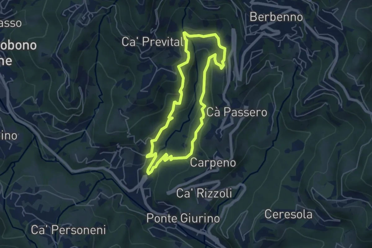
Easy · Trail
Valle del Brunone Percorso C
4.4 km · ↑ 243 m · 1 h 38 min · 15 km away
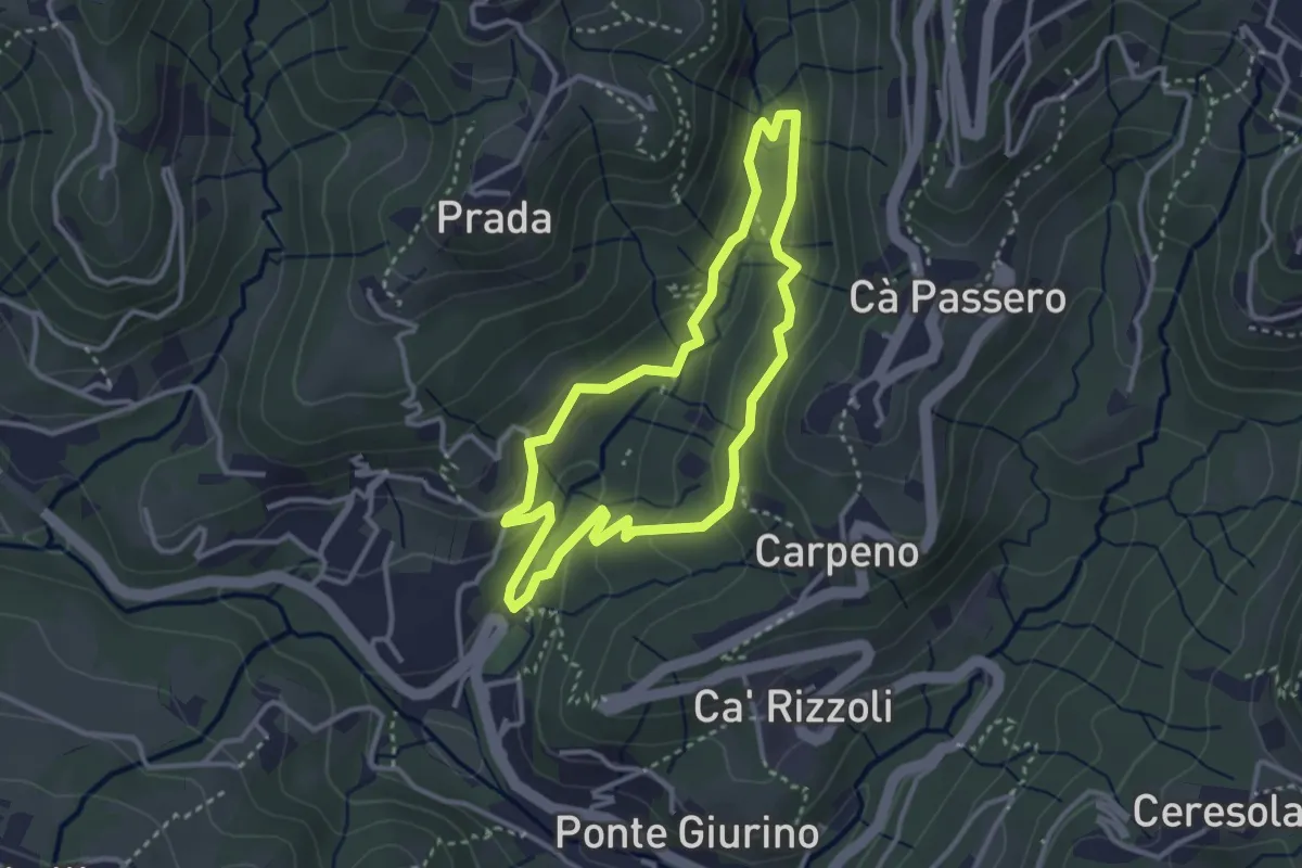
Easy · Trail
Valle del Brunone Percorso C1
3.0 km · ↑ 111 m · 59 min · 15 km away
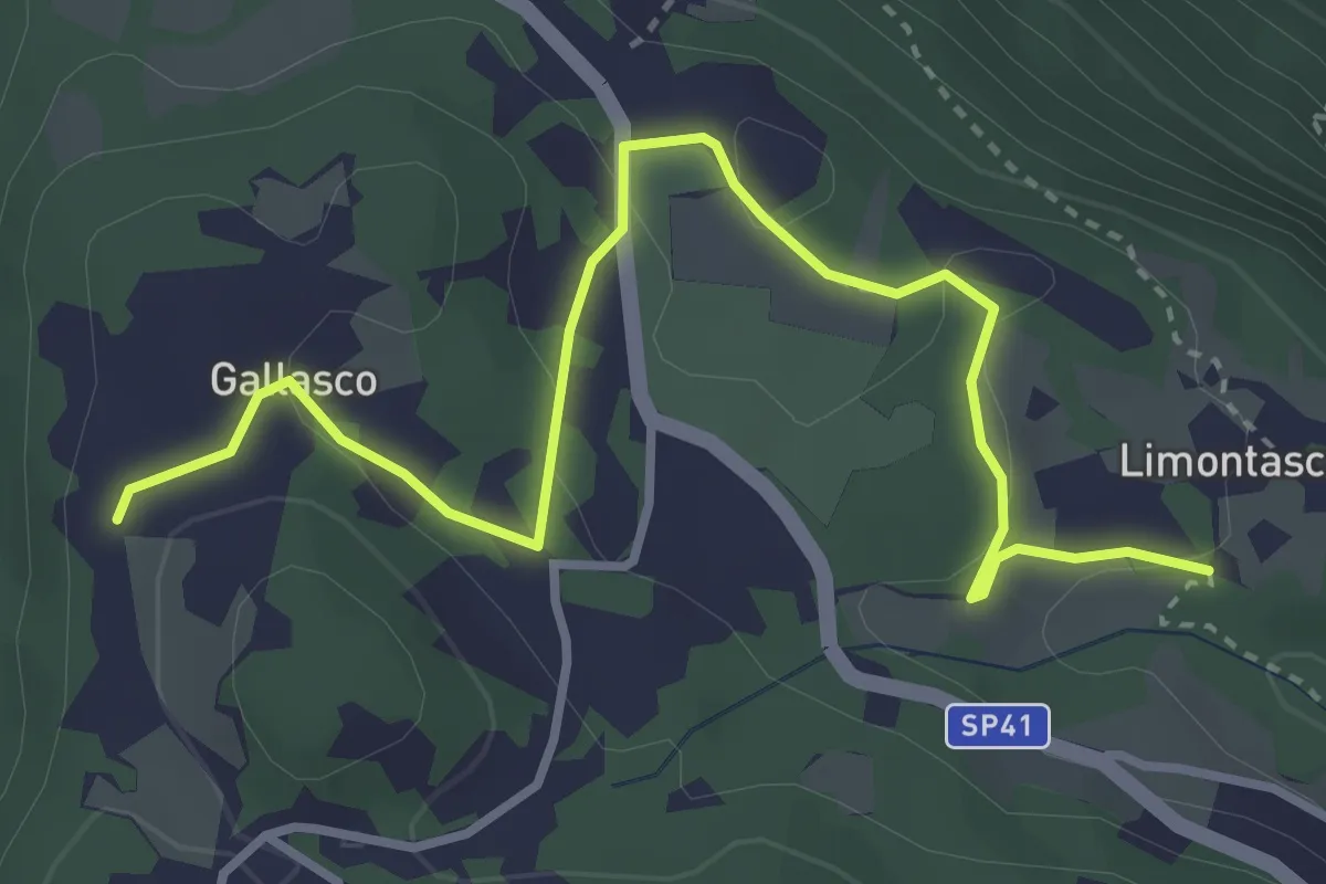
Easy · Trail
Limonta – Gallasco
4.0 km · ↑ 95 m · 1 h 9 min · 15 km away
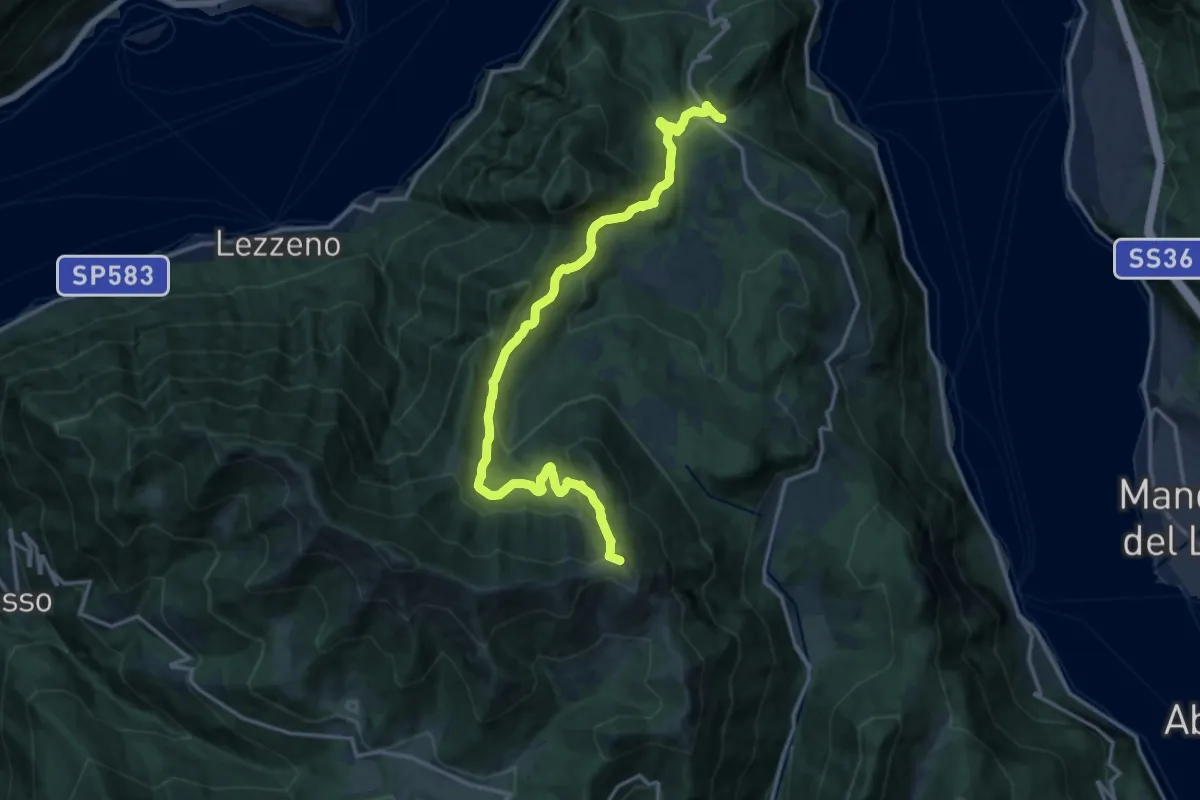
Demanding · Summit
Chevrio – Bocchetta di Terrabiotta
17.2 km · ↑ 986 m · 6 h 11 min · 15 km away
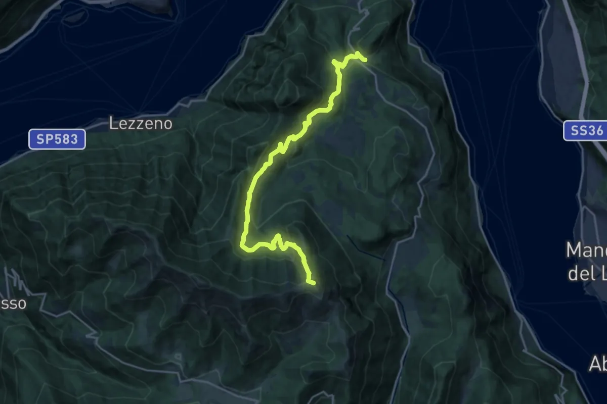
Demanding · Summit
Chevrio – Bocchetta di Terrabiotta
18.0 km · ↑ 985 m · 6 h 23 min · 15 km away
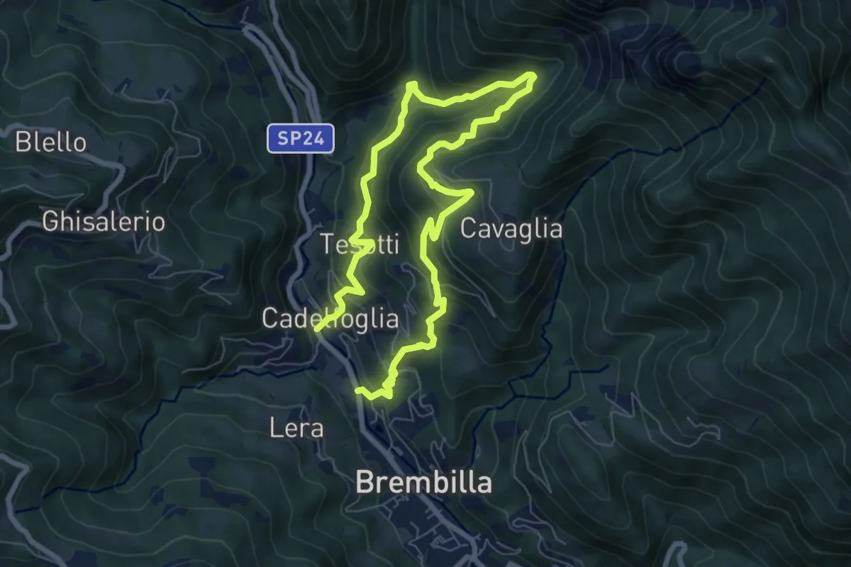
Demanding · Trail
Capreduzzo – Cadelfoglia
11.3 km · ↑ 976 m · 4 h 46 min · 15 km away
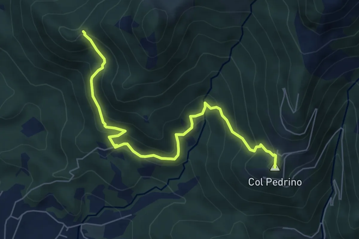
Medium · Summit
Località Foppa – Coldara
6.6 km · ↑ 509 m · 2 h 39 min · 15 km away
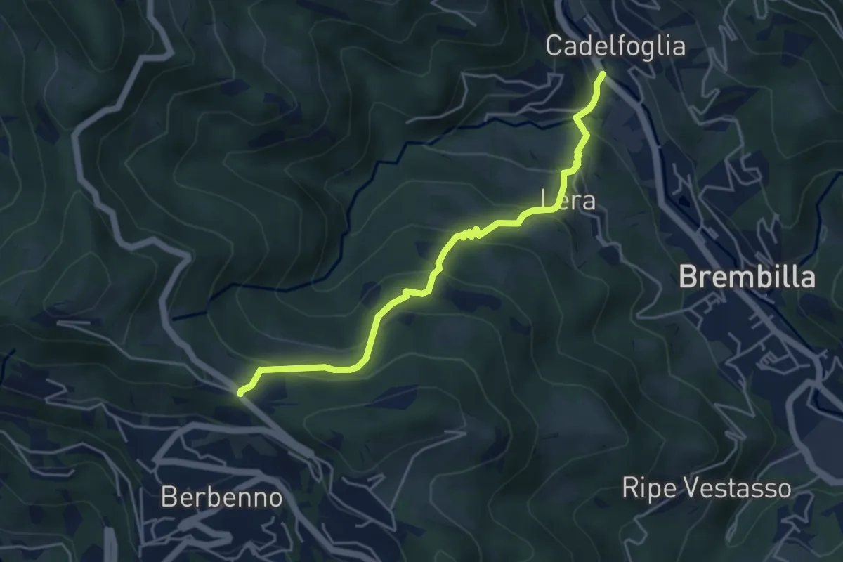
Medium · Trail
Cadelfoglia – Madonna dell'Assunta (Berbenno)
4.4 km · ↑ 339 m · 1 h 47 min · 15 km away
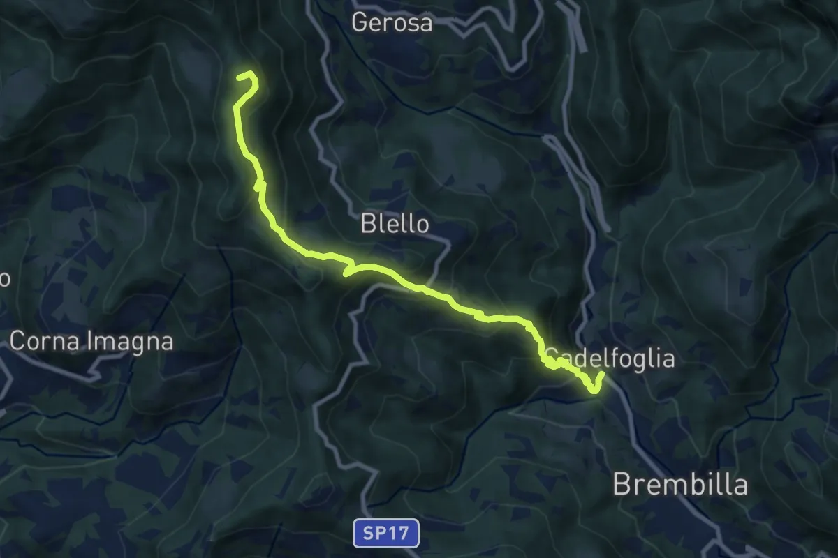
Medium · Summit
Cadelfoglia – Bocchetta di Piazzacava
9.1 km · ↑ 766 m · 3 h 48 min · 15 km away