Trails near Barberino di Mugello
139 hikes starting within 15 km, nearest first.
Nearest first, page 2 of 3
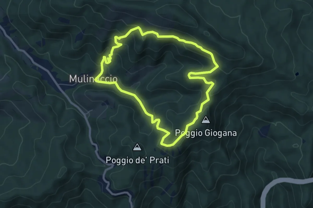
Medium · Summit
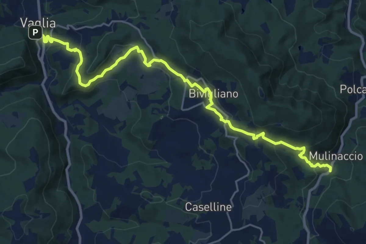
Mulinaccio – Fonte al Canale – Fonte Vascona
6.4 km · ↑ 357 m · 2 h 22 min · 11 km away
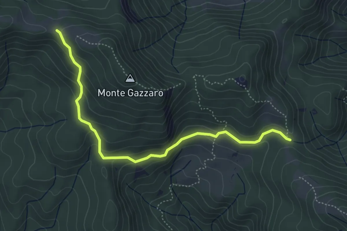
Easy · Trail
Via degli Dei: Tappa 4 - Alternativa Monte Gazzaro
5.5 km · ↑ 228 m · 1 h 47 min · 11 km away
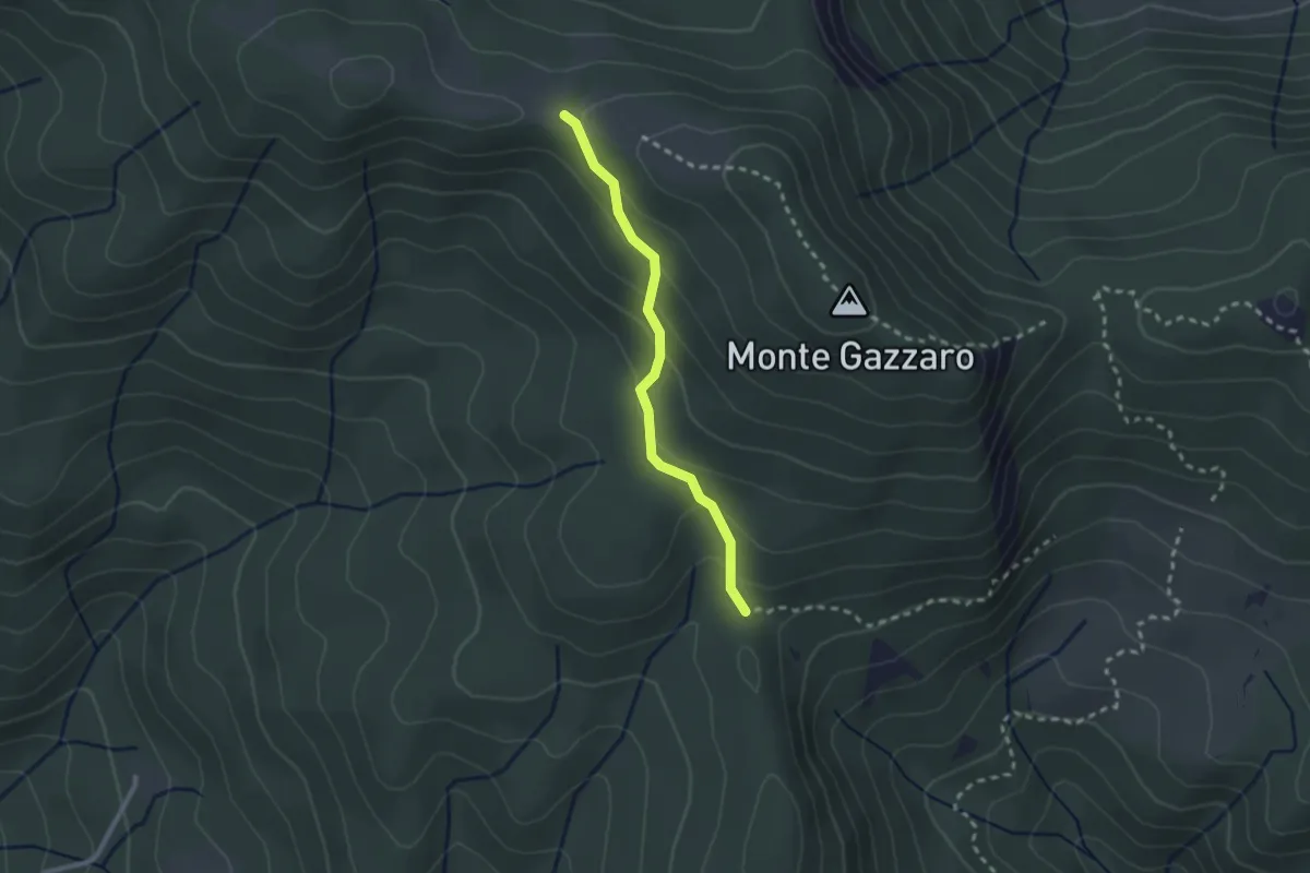
Easy · Trail
Sentiero 350 – Sentiero 00
2.3 km · ↑ 130 m · 49 min · 11 km away
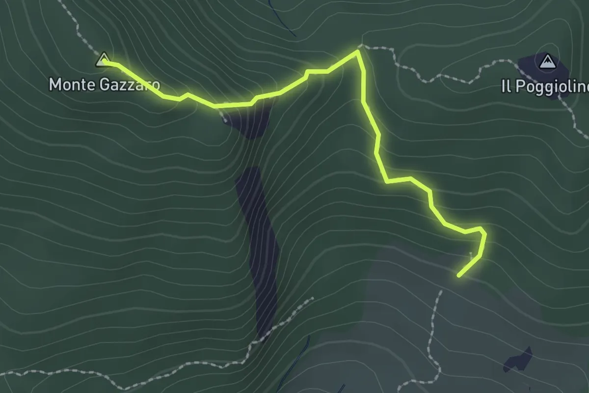
Demanding · Summit
E1 Toscana 14 Variante 14.1 Monte Gazzaro - Passo dell'Osteria Bruciata
2.3 km · ↑ 198 m · 59 min · 11 km away
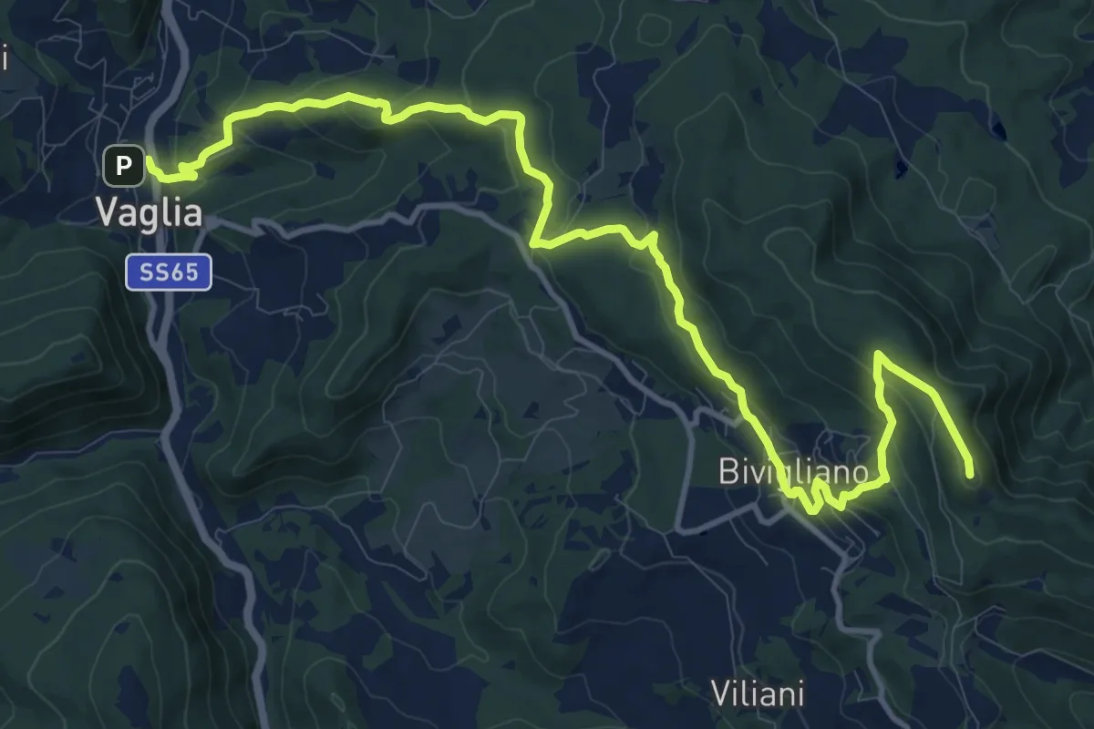
Medium · Summit
Sentiero delle Testimonianze
15.6 km · ↑ 642 m · 5 h 4 min · 11 km away
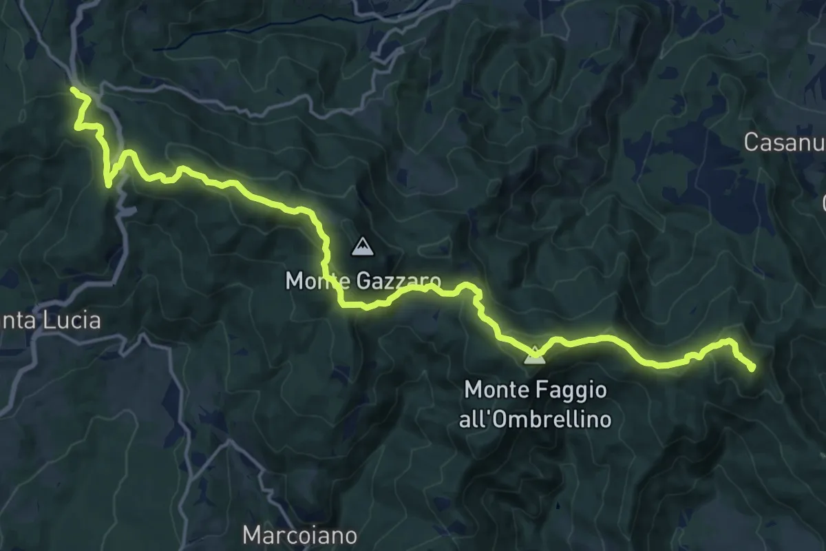
Demanding · Summit
Grande Escursione Appenninica - Tappa 9
21.5 km · ↑ 930 m · 7 h 5 min · 11 km away
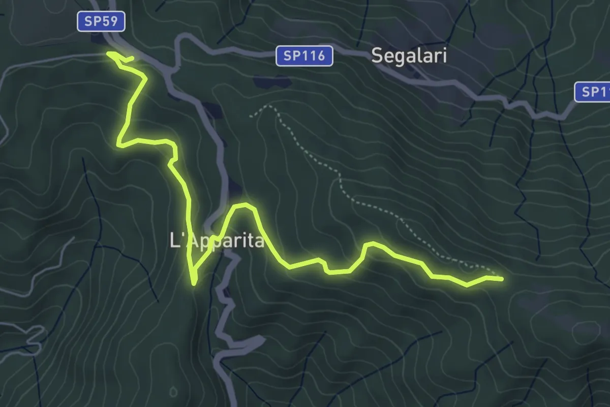
Easy · Trail
Via degli Dei: Tappa 4 alternativa Monte di Fo
6.8 km · ↑ 287 m · 2 h 14 min · 11 km away
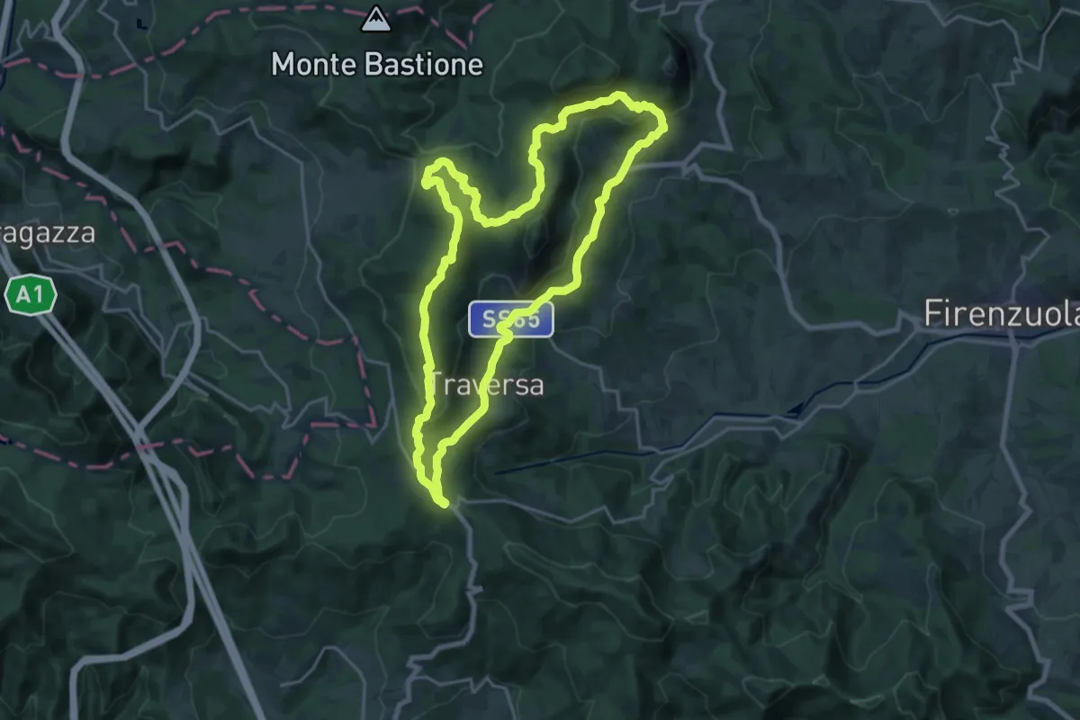
Demanding · Summit
Sorgenti di Firenze Trekking – Anello 11: Sul tracciato romano della Flaminia militare
19.4 km · ↑ 636 m · 6 h 14 min · 11 km away
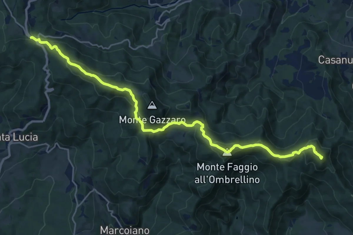
Demanding · Summit
E1 Toscana 14 Passo della Futa - Giogo di Scarperia
19.0 km · ↑ 823 m · 6 h 16 min · 11 km away
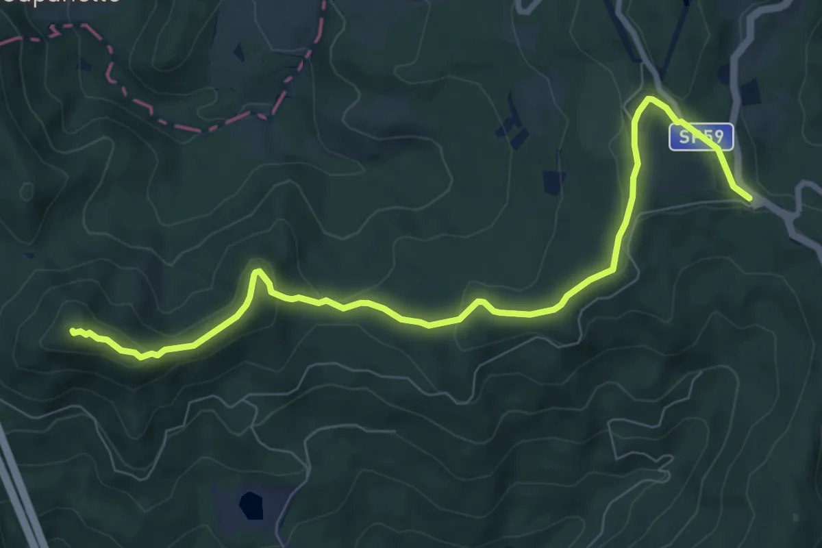
Medium · Summit
Sentiero 0 – da Valico Citerna a Passo della Futa
9.0 km · ↑ 312 m · 2 h 48 min · 11 km away
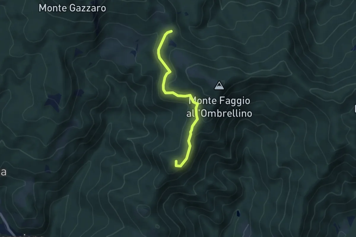
Medium · Summit
Passo Osteria Bruciata – sant'agata
4.6 km · ↑ 148 m · 1 h 24 min · 11 km away
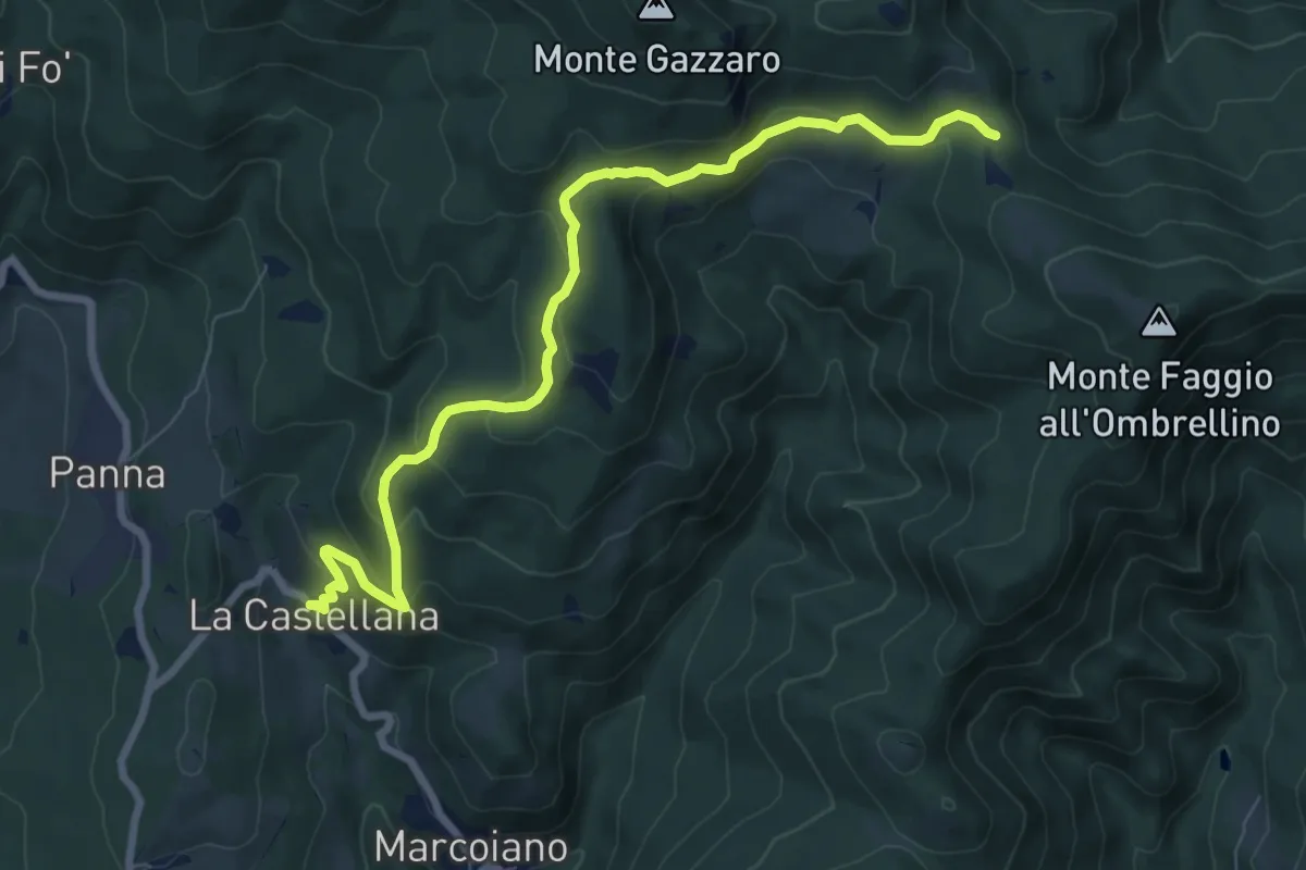
Medium · Trail
La Castellana – Passo dell'Osteria Bruciata
8.9 km · ↑ 417 m · 3 h · 11 km away
Demanding · Trail
Masseto (via Migliana) – Foce ai Fontanini
10.7 km · ↑ 902 m · 4 h 28 min · 11 km away
Demanding · Trail
Via di Montesenario
18.1 km · ↑ 724 m · 5 h 50 min · 11 km away
Easy · Trail
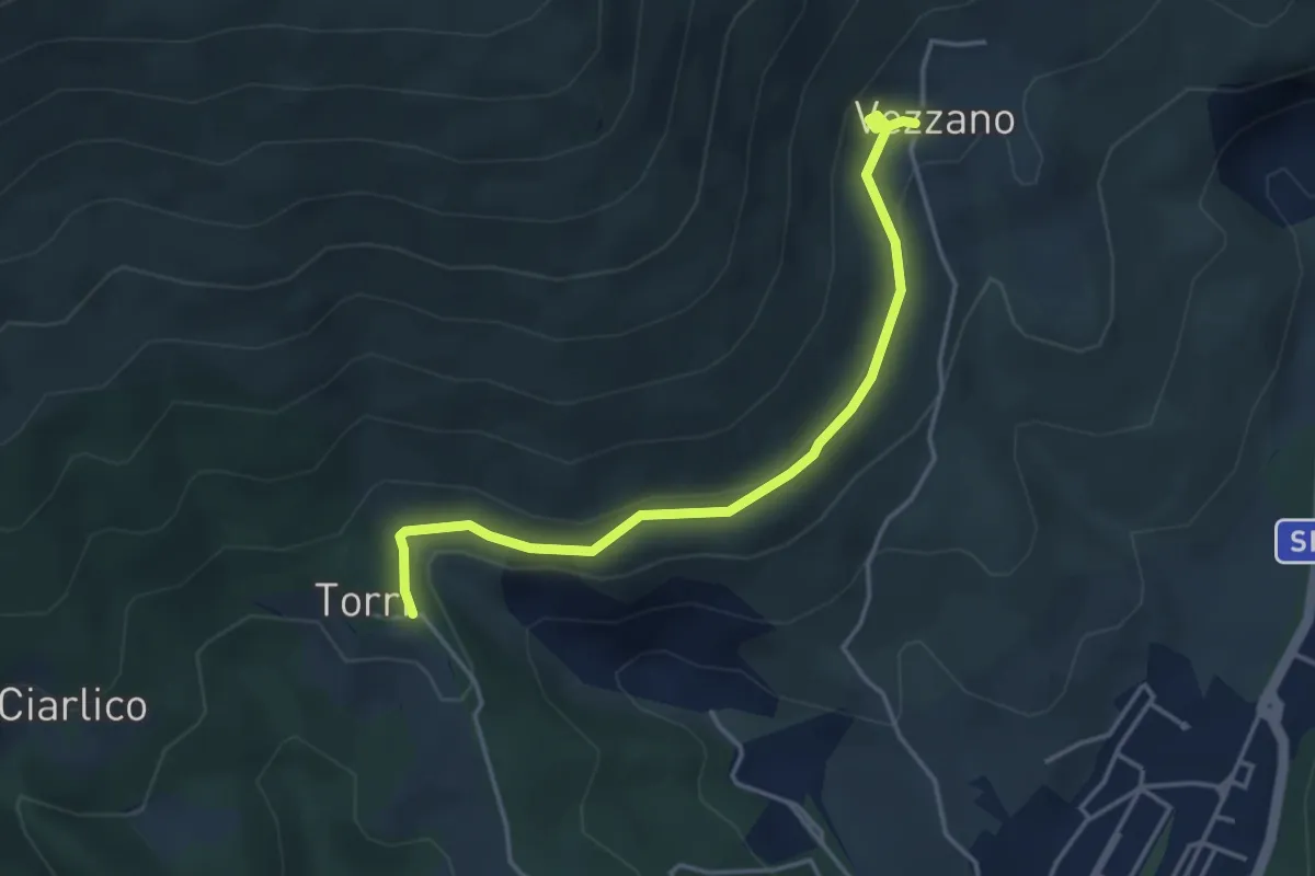
Torri di Carraia – Vezzano
4.2 km · ↑ 85 m · 1 h 10 min · 11 km away
Medium · Summit
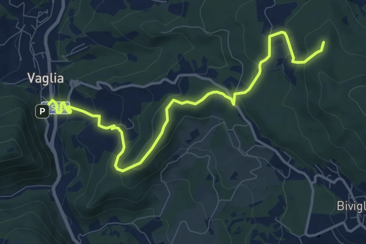
Vaglia – Croce di Melago
10.6 km · ↑ 439 m · 3 h 27 min · 11 km away
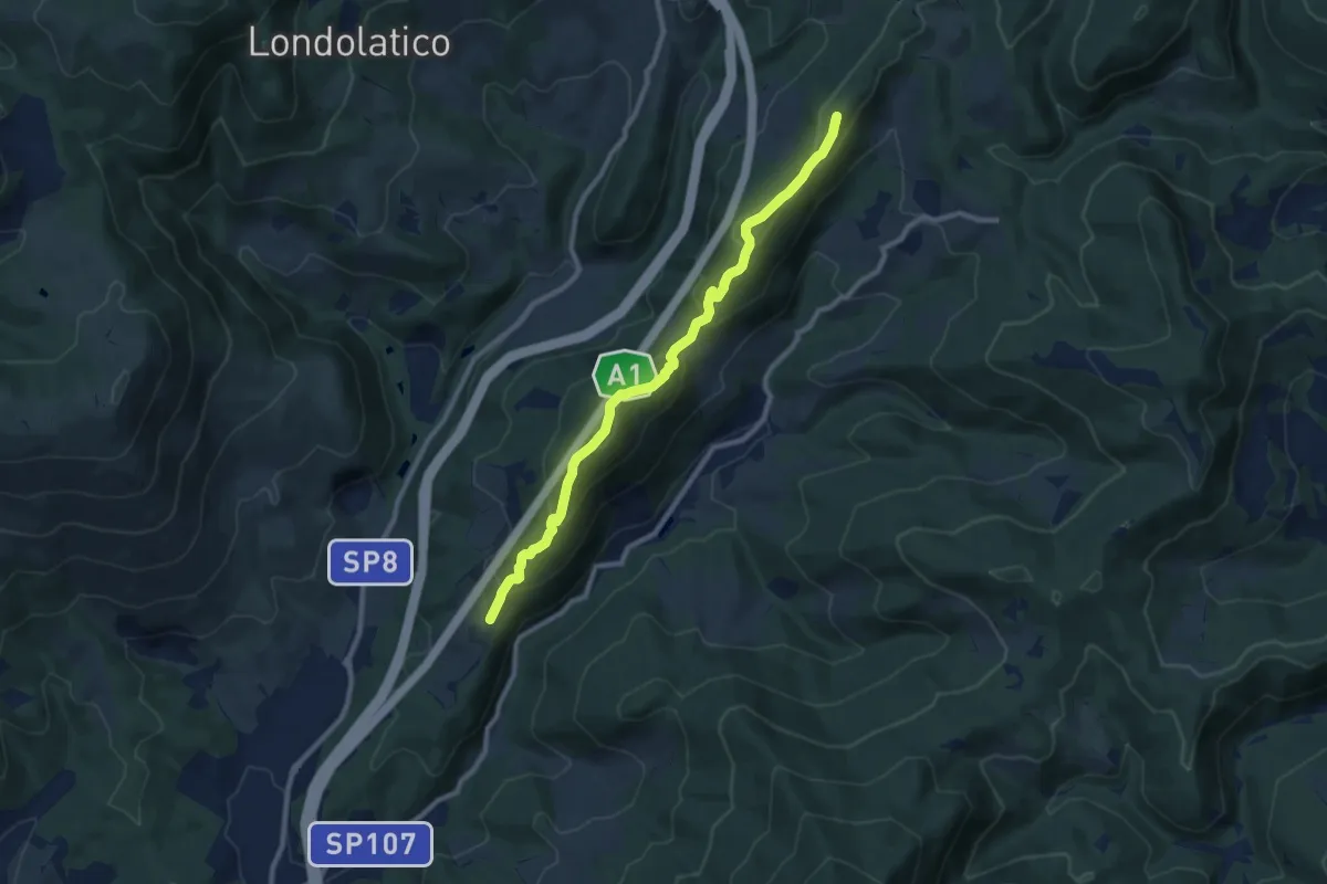
Medium · Summit
Collina – Torricella - Incr. sentiero 600
9.7 km · ↑ 530 m · 3 h 26 min · 11 km away
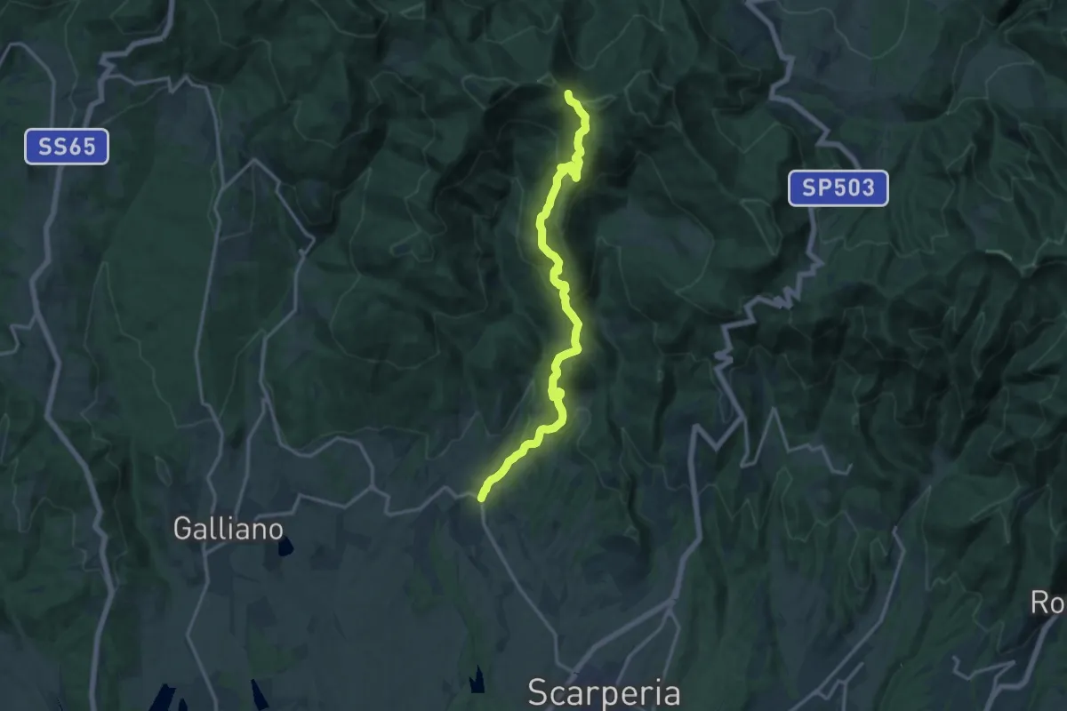
Medium · Trail
Sant'Agata – Sentiero 00
15.4 km · ↑ 785 m · 5 h 21 min · 12 km away
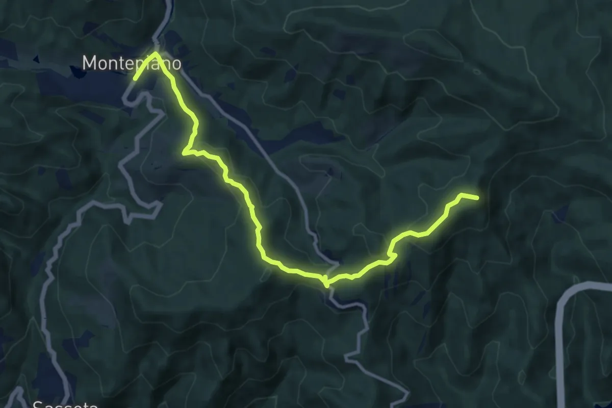
Medium · Summit
Passo della Futa – Montepiano
10.8 km · ↑ 436 m · 3 h 30 min · 12 km away
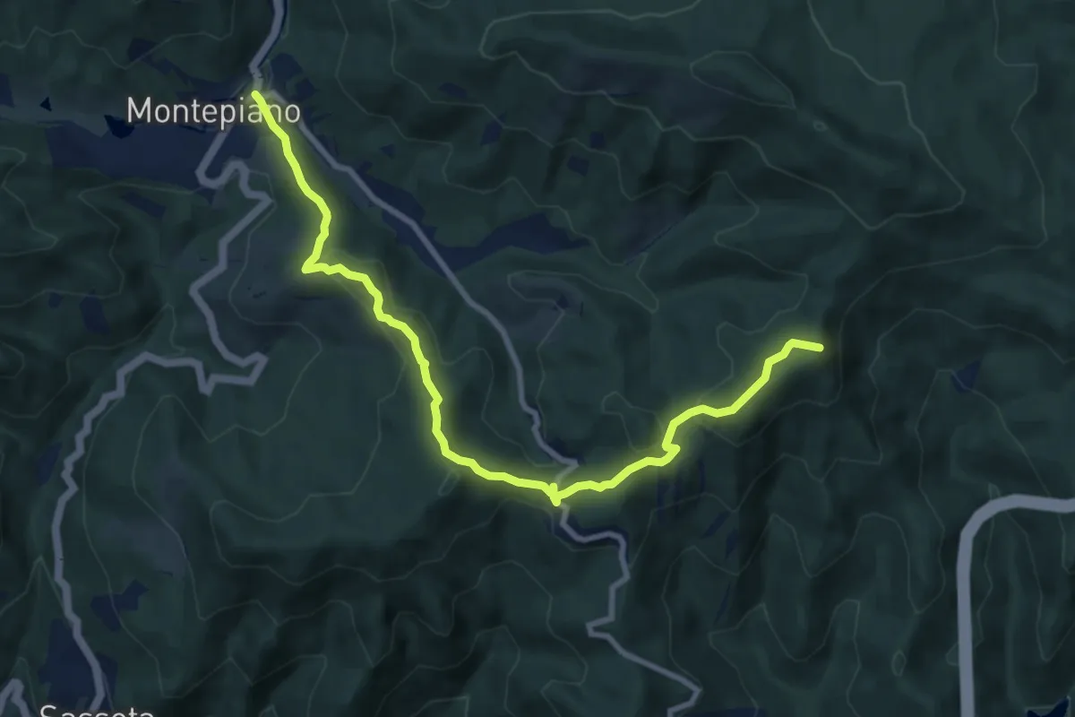
Medium · Summit
E1 Toscana 13 Montepiano - Passo della Futa
10.2 km · ↑ 417 m · 3 h 19 min · 12 km away
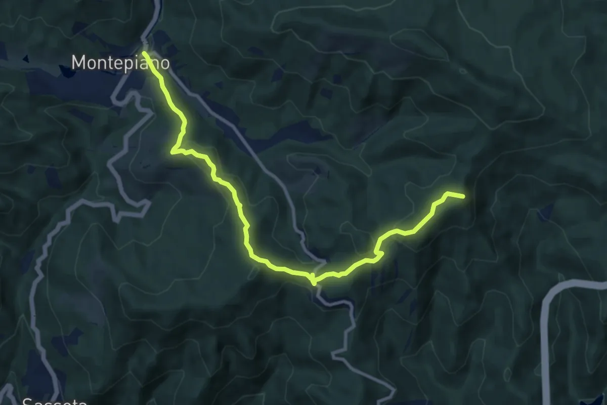
Medium · Summit
Grande Escursione Appenninica - Tappa 10
10.2 km · ↑ 417 m · 3 h 19 min · 12 km away
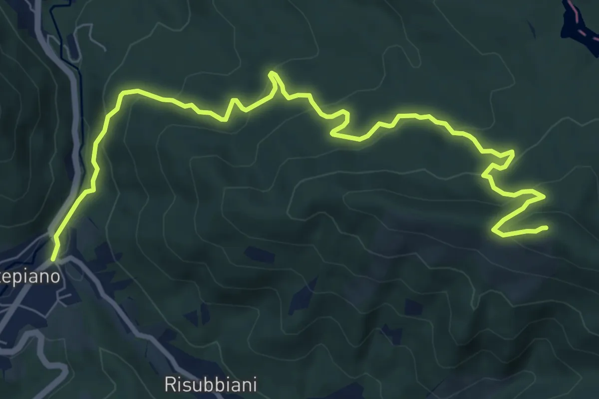
Medium · Summit
Montepiano – Sentiero 429 - Filetti
9.6 km · ↑ 477 m · 3 h 18 min · 12 km away
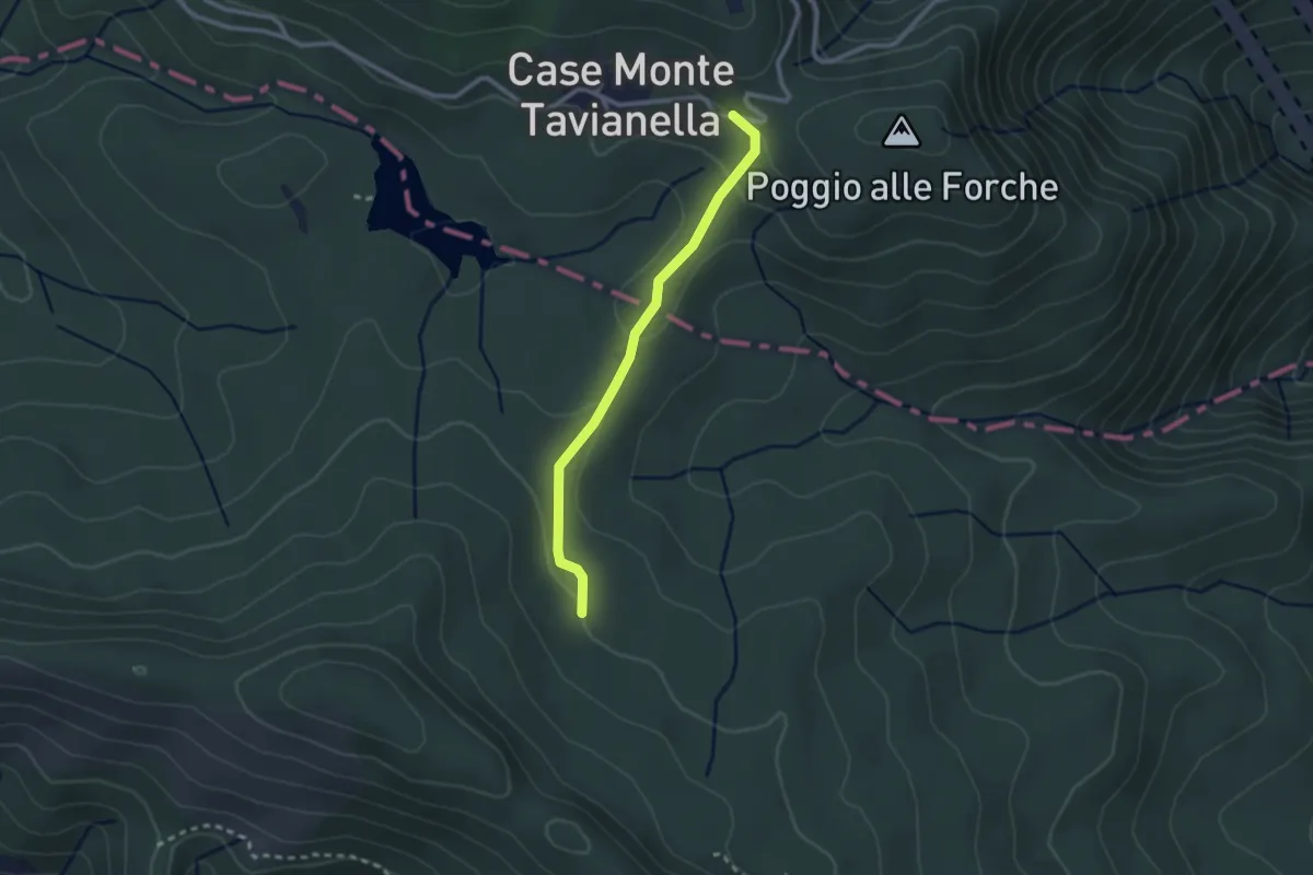
Easy · Trail
Quattro strade – Case Monte Tavianella
2.4 km · ↑ 71 m · 43 min · 12 km away
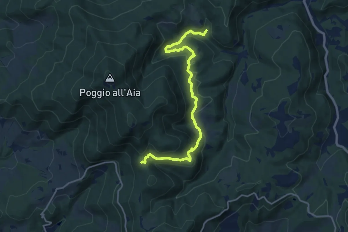
Medium · Trail
Cerreto Maggio – Sella delle Colline
11.7 km · ↑ 447 m · 3 h 43 min · 12 km away
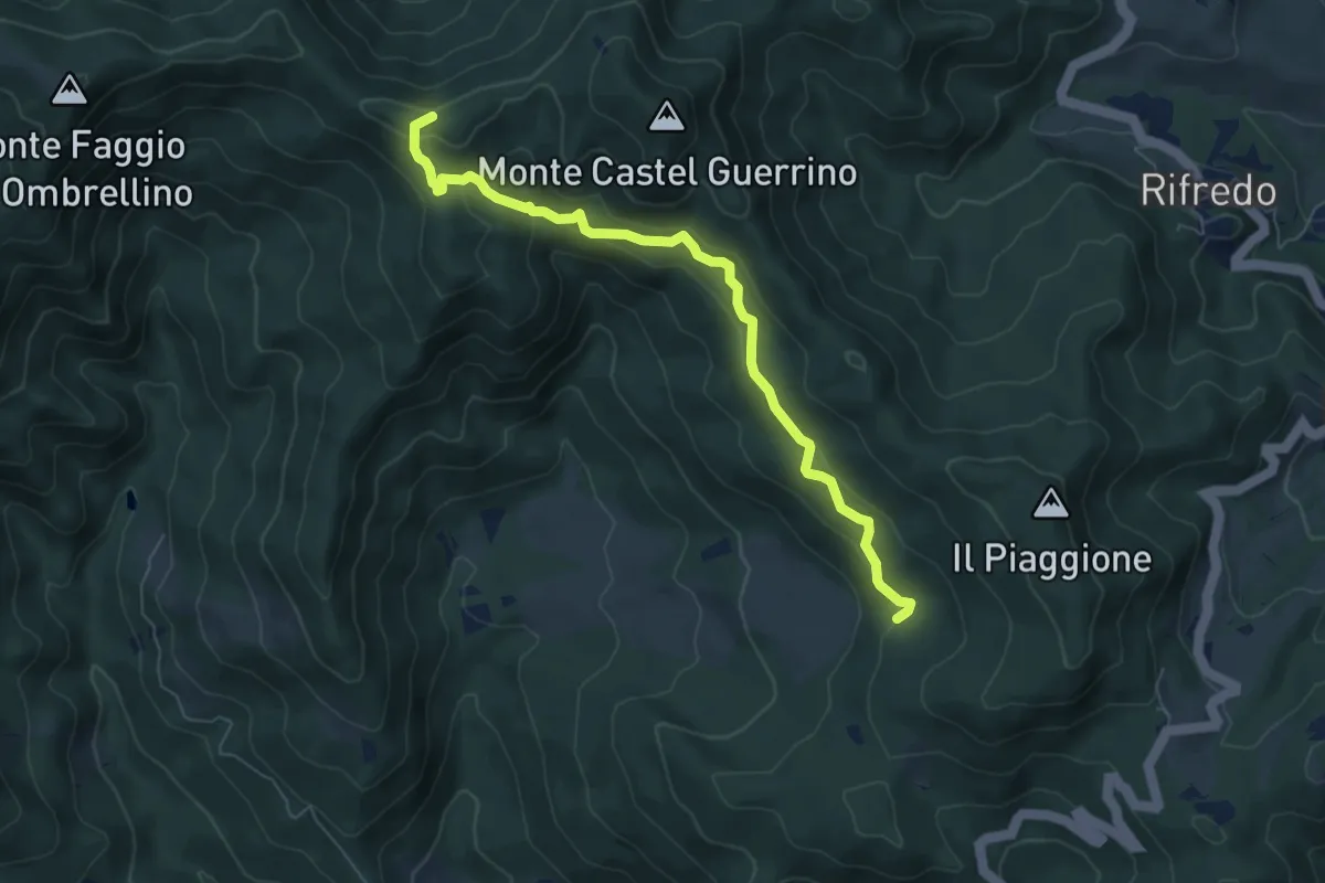
Easy · Trail
Sentiero 42 - Passo della Vecchia
6.8 km · ↑ 319 m · 2 h 18 min · 12 km away
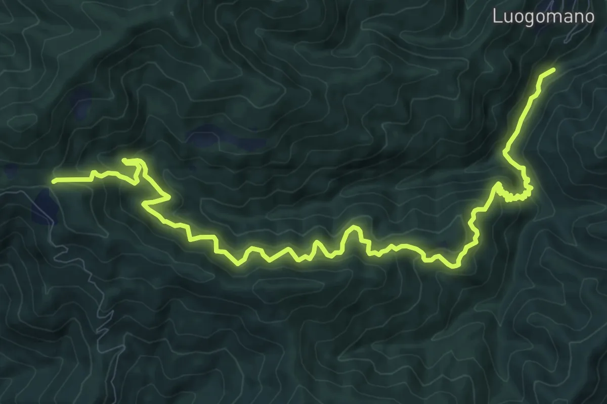
Demanding · Trail
ponte di Taglianico – Passo degli Acquiputoli
15.5 km · ↑ 1312 m · 6 h 30 min · 12 km away
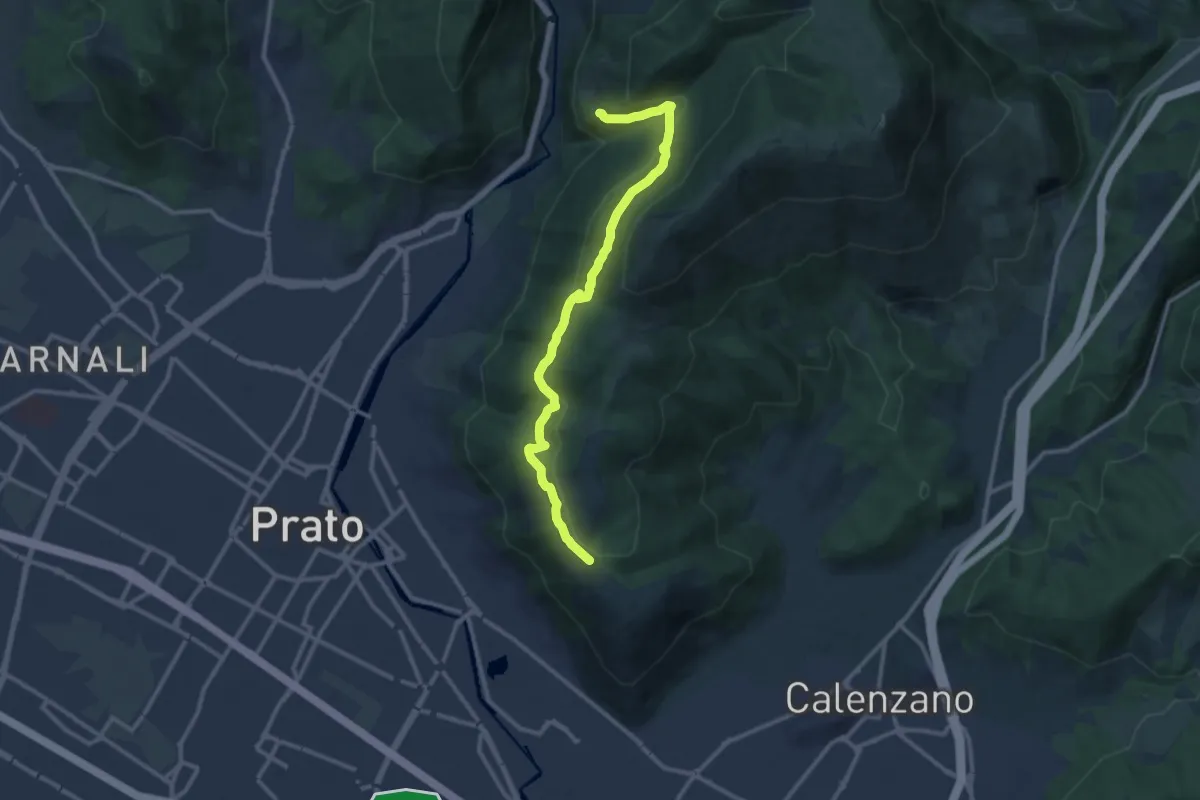
Medium · Trail
San Leonardo – Fosso della Valluccia
12.8 km · ↑ 519 m · 4 h 8 min · 13 km away
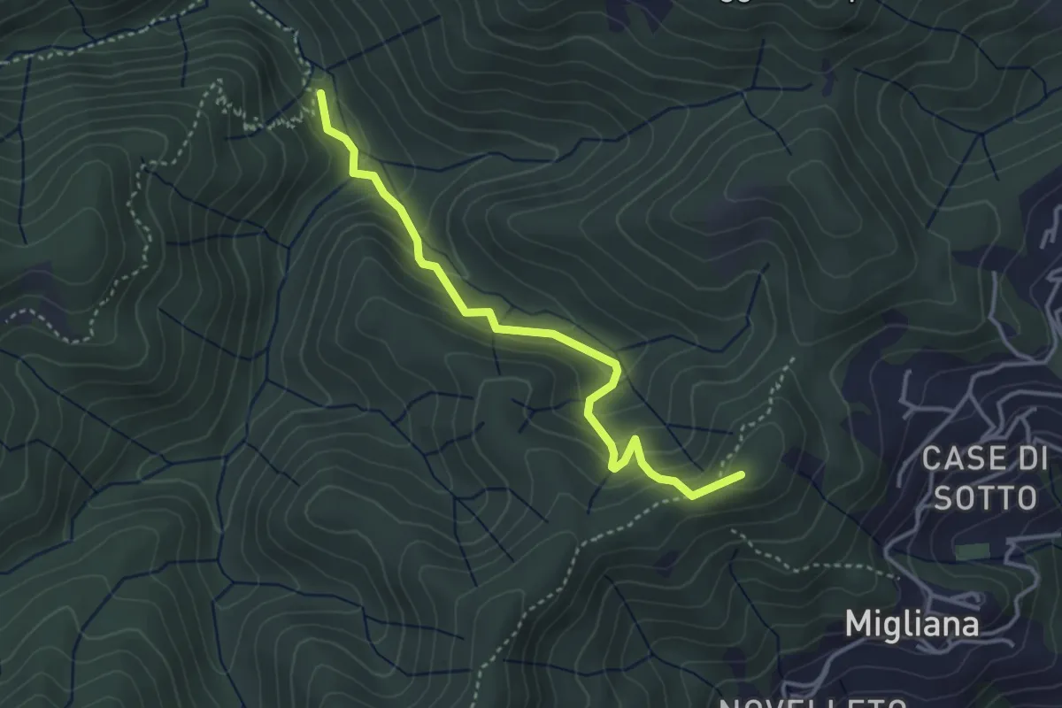
Medium · Summit
Migliana – Campi bassi Vespaio
3.6 km · ↑ 285 m · 1 h 29 min · 13 km away
Medium · Trail
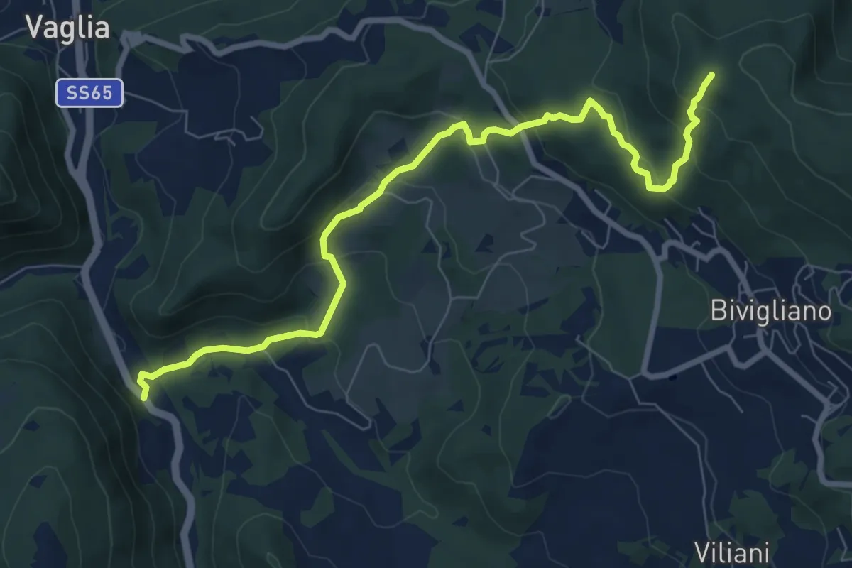
Via Faentina – 300M
8.8 km · ↑ 428 m · 3 h · 13 km away
Medium · Trail
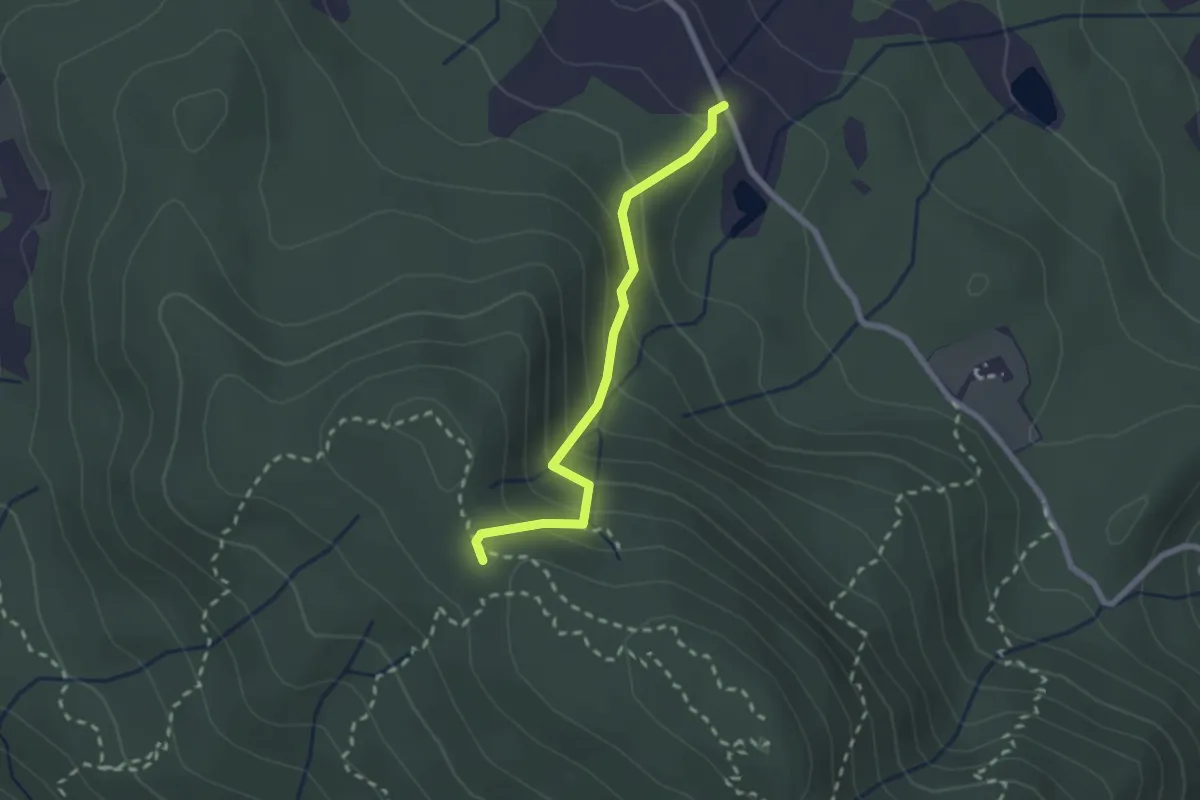
Fattoria – Monte Senario
2.2 km · ↑ 181 m · 55 min · 13 km away
Easy · Trail
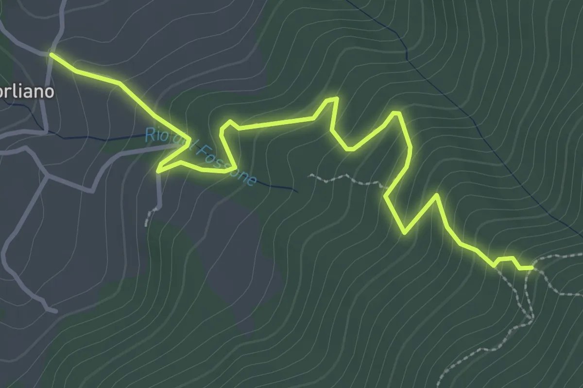
Leccio – Quota 590 sentiero 9
3.8 km · ↑ 299 m · 1 h 33 min · 13 km away
Easy · Summit
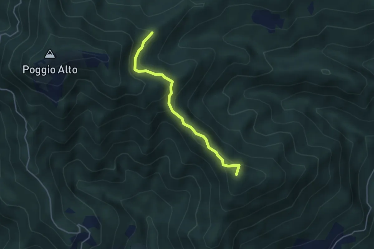
Sasseta – Percorso 00
3.4 km · ↑ 149 m · 1 h 8 min · 13 km away
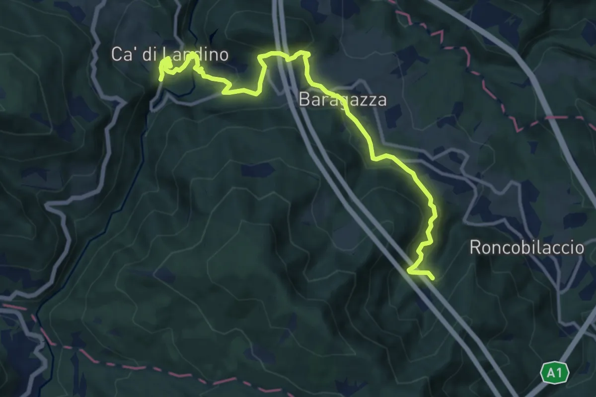
Medium · Trail
Bocca di Rio – Ca' di Landino
11.8 km · ↑ 532 m · 3 h 56 min · 13 km away
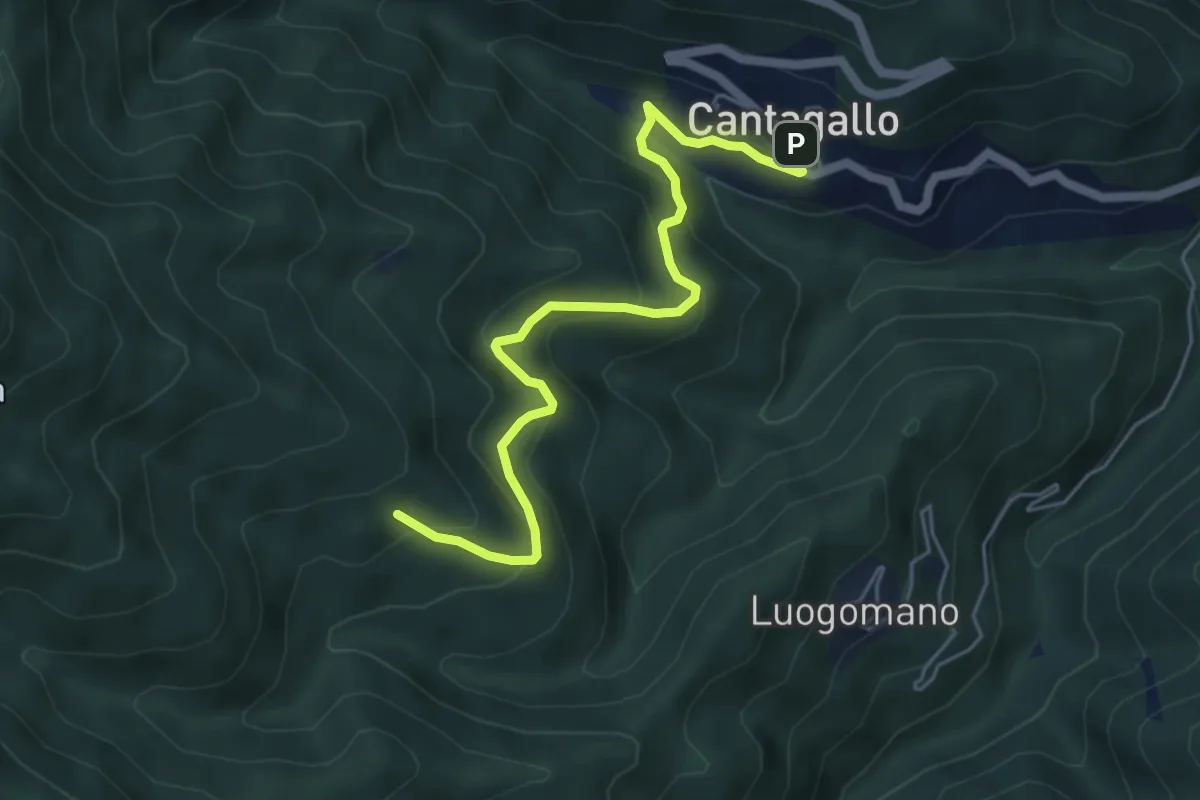
Medium · Cabin
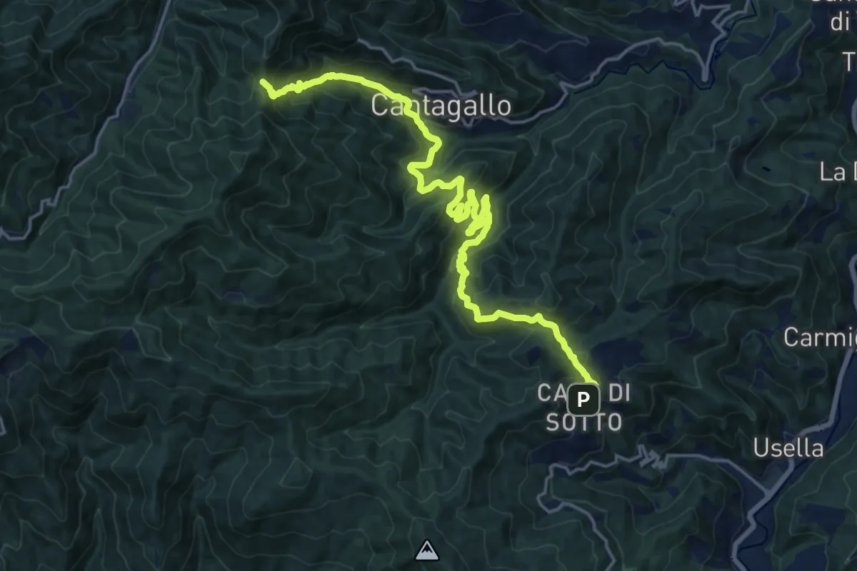
Cantagallo – Cerliano
5.7 km · ↑ 388 m · 2 h 12 min · 13 km away
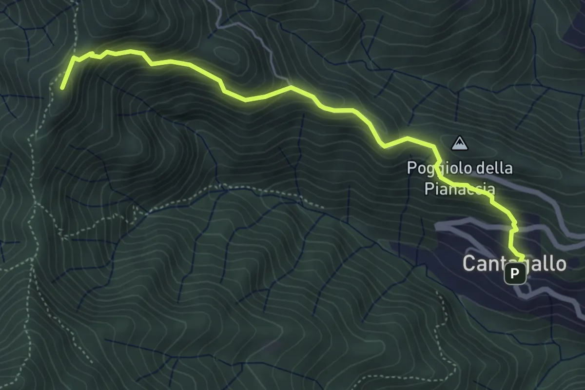
Medium · Summit
Cantagallo – Passo del Treppio
5.5 km · ↑ 466 m · 2 h 19 min · 13 km away
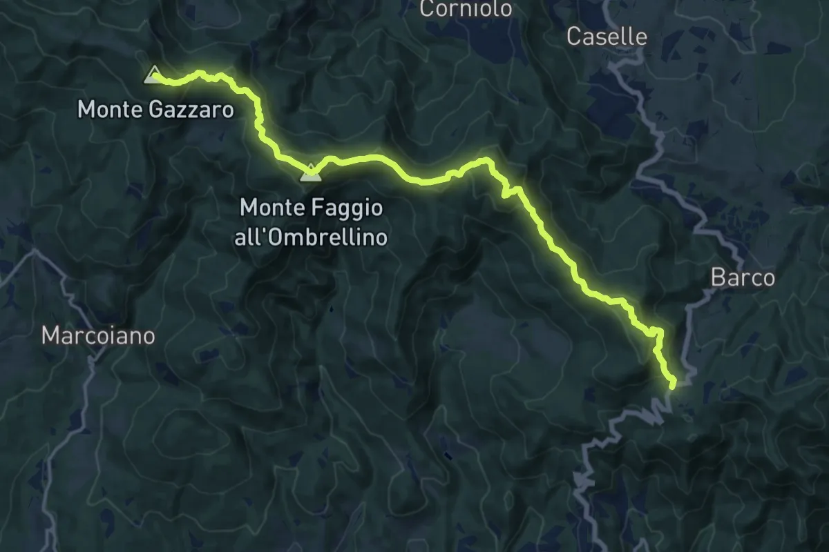
Demanding · Summit
Passo del Giogo di Scarperia – Passo della Futa
18.4 km · ↑ 908 m · 6 h 19 min · 13 km away
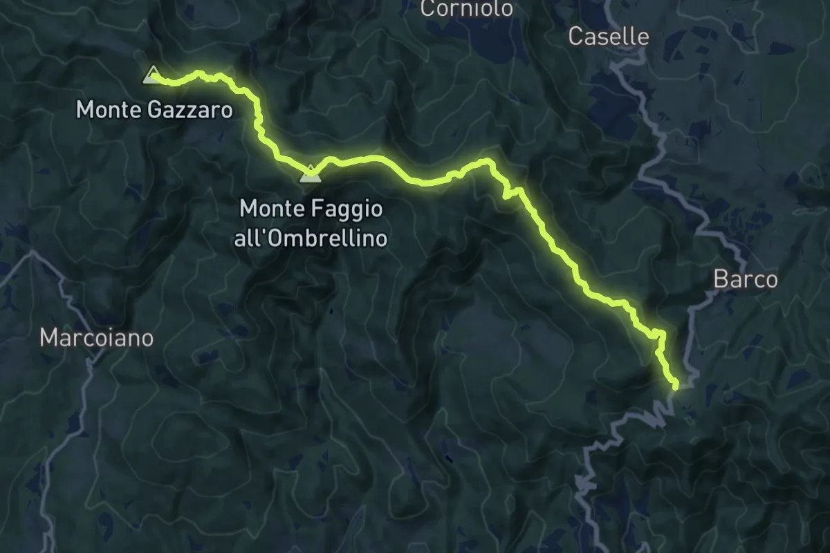
Demanding · Summit
Sentiero 0 – da Passo della Futa a Passo del Giogo
18.4 km · ↑ 898 m · 6 h 17 min · 13 km away
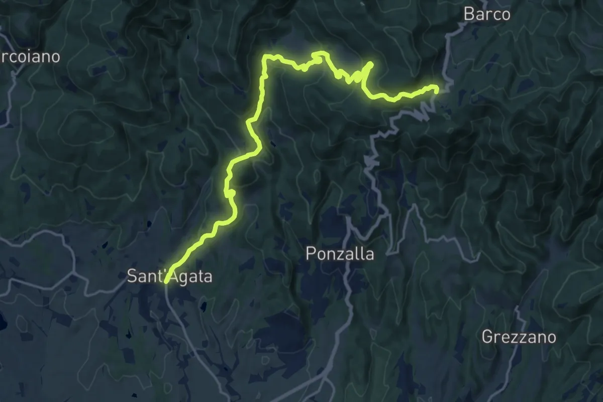
Demanding · Trail
Sant'Agata – Passo del Giogo
19.6 km · ↑ 764 m · 6 h 17 min · 13 km away
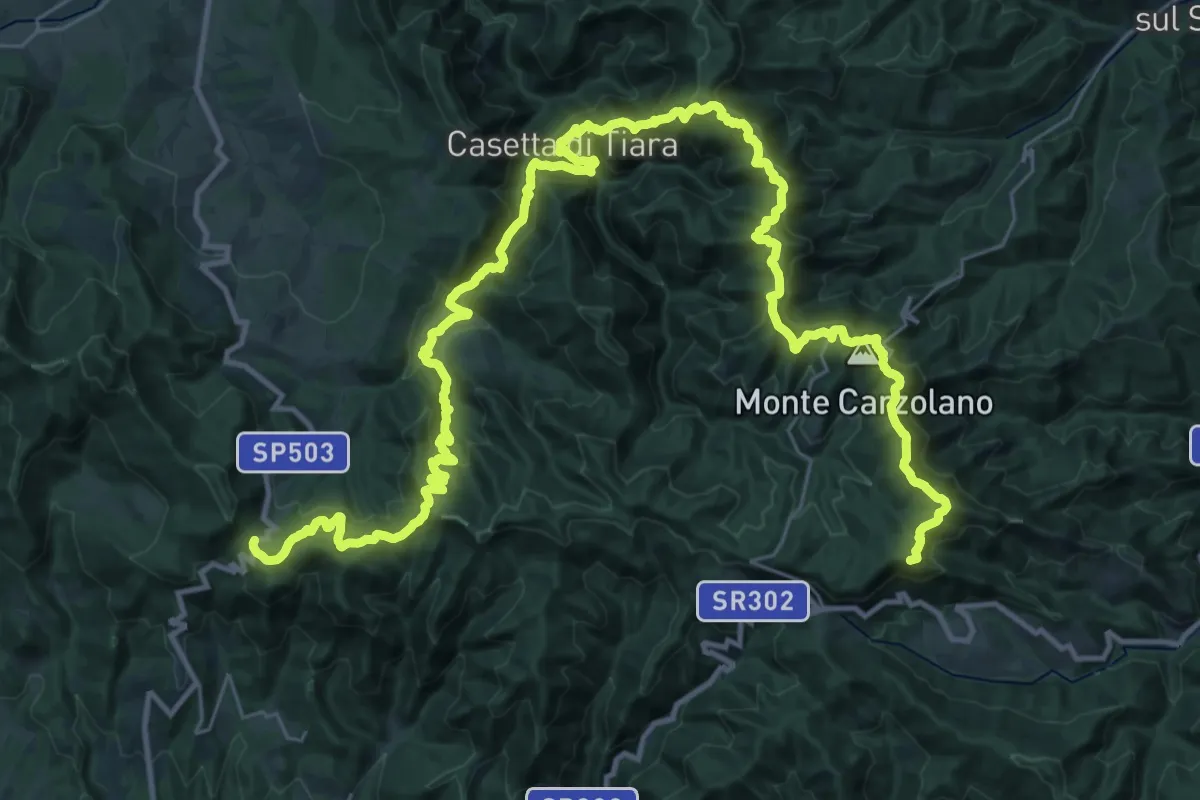
Demanding · Summit
Grande Escursione Appenninica - Tappa 8
51.1 km · ↑ 2670 m · 17 h 51 min · 13 km away
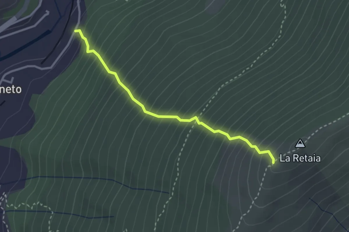
Medium · Trail
La Ovest Retaia
2.8 km · ↑ 628 m · 2 h 1 min · 13 km away
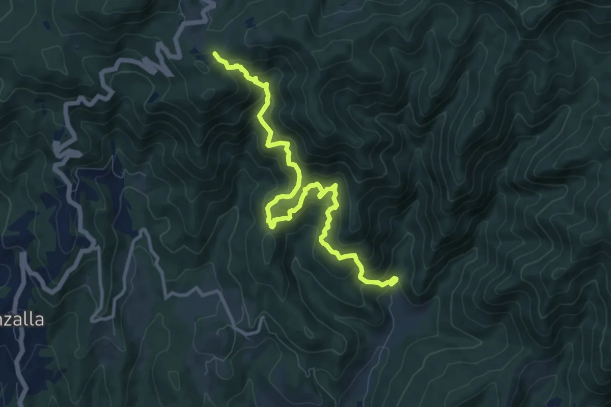
Demanding · Trail
Grezzano – Passo del Giogo
10.0 km · ↑ 873 m · 4 h 15 min · 13 km away
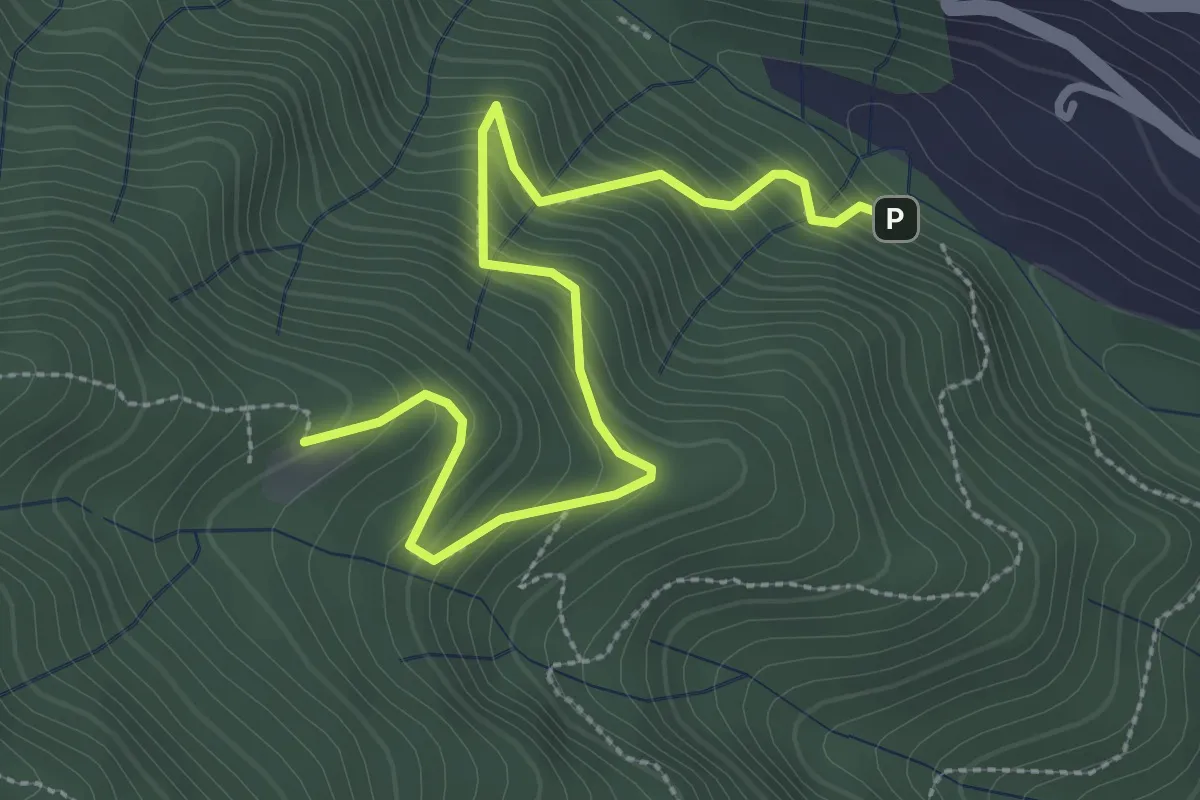
Medium · Cabin
Ponte di Cantagallo – Cascina di Cave
3.5 km · ↑ 398 m · 1 h 42 min · 13 km away
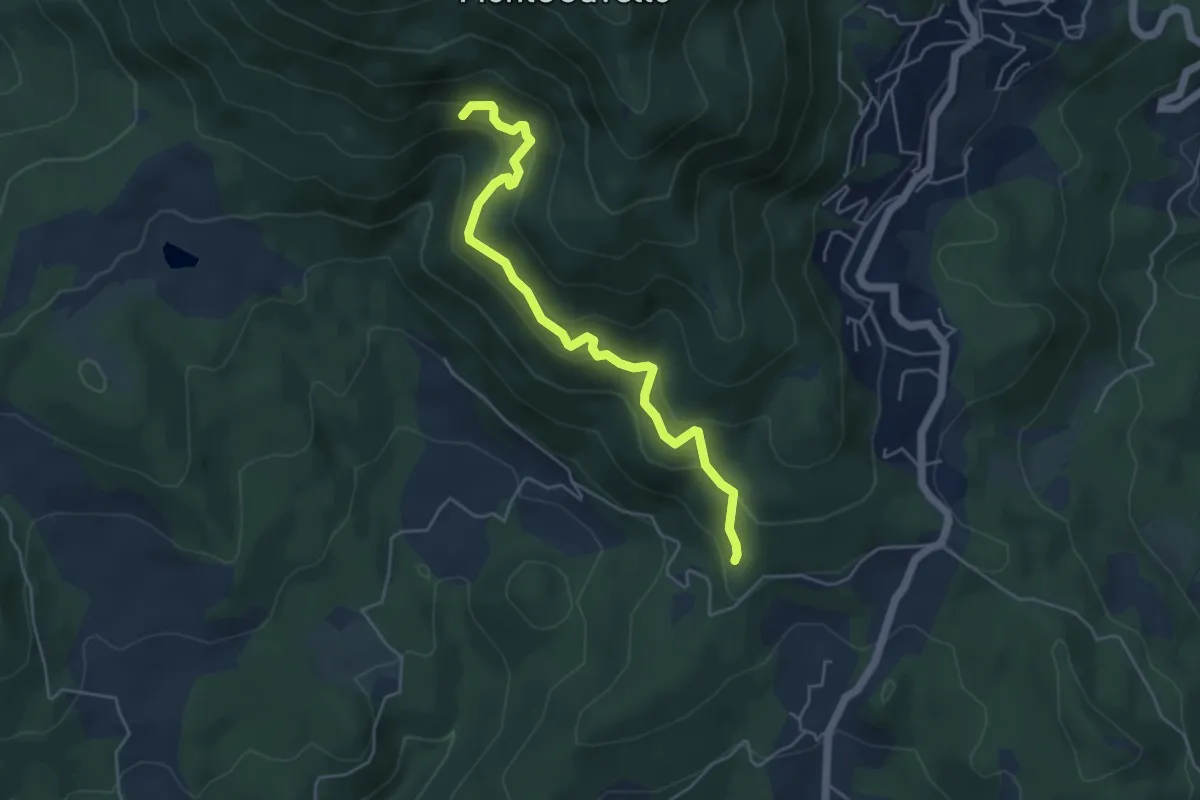
Medium · Trail
Quercia dei termini – Innesto sentiero 70
5.1 km · ↑ 376 m · 2 h 2 min · 13 km away
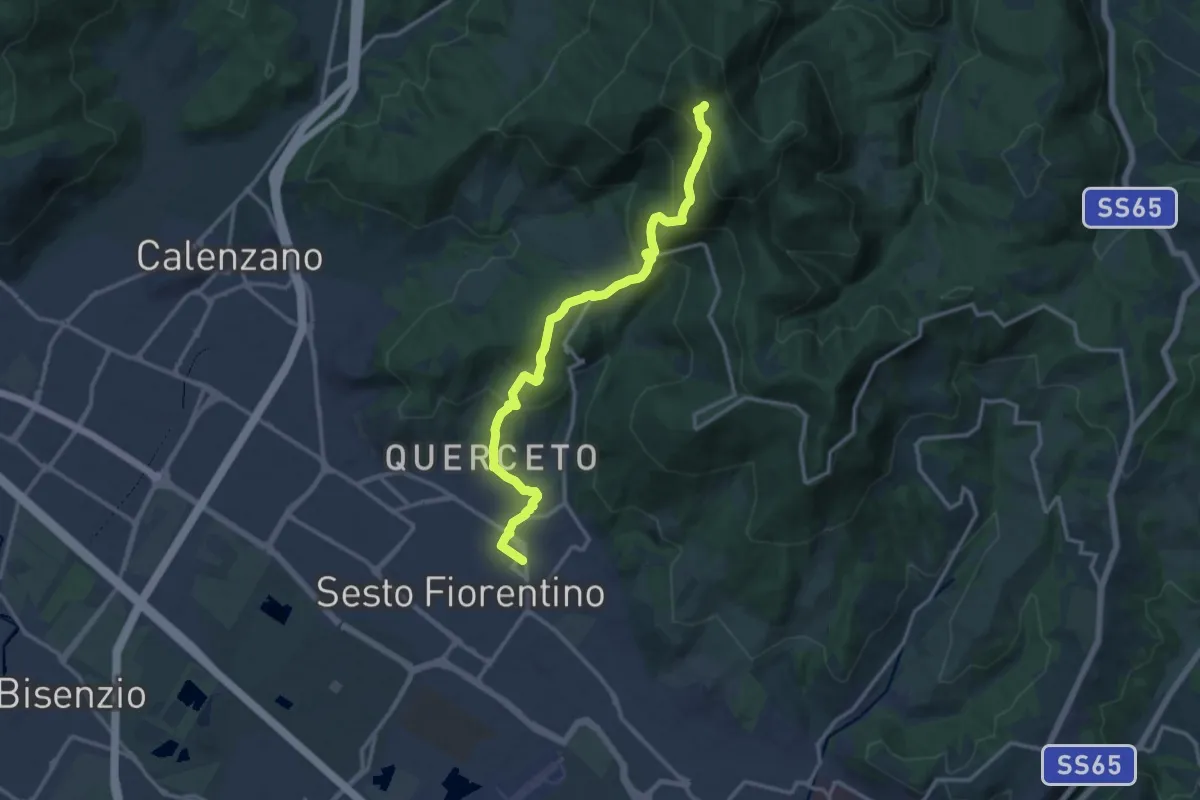
Demanding · Trail
Sesto Fiorentino - Via Veronelli Sezione CAI – Selletta
15.0 km · ↑ 818 m · 5 h 19 min · 13 km away
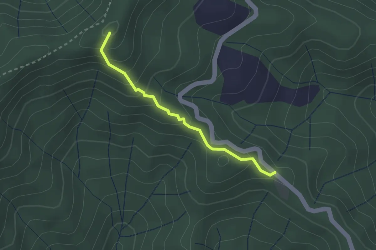
Easy · Summit
Poggio Cattarelle – Rotì
2.1 km · ↑ 178 m · 53 min · 13 km away
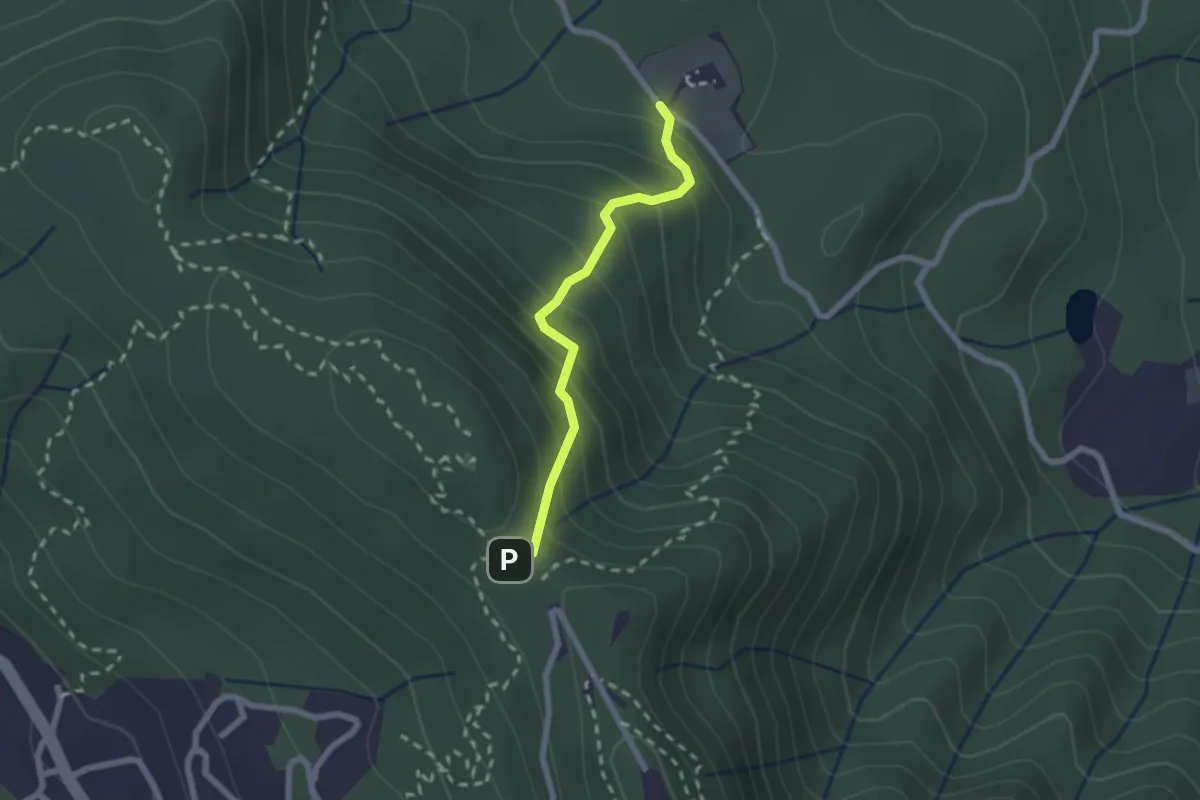
Medium · Trail
Polcanto – Monte Senario
2.1 km · ↑ 224 m · 58 min · 13 km away
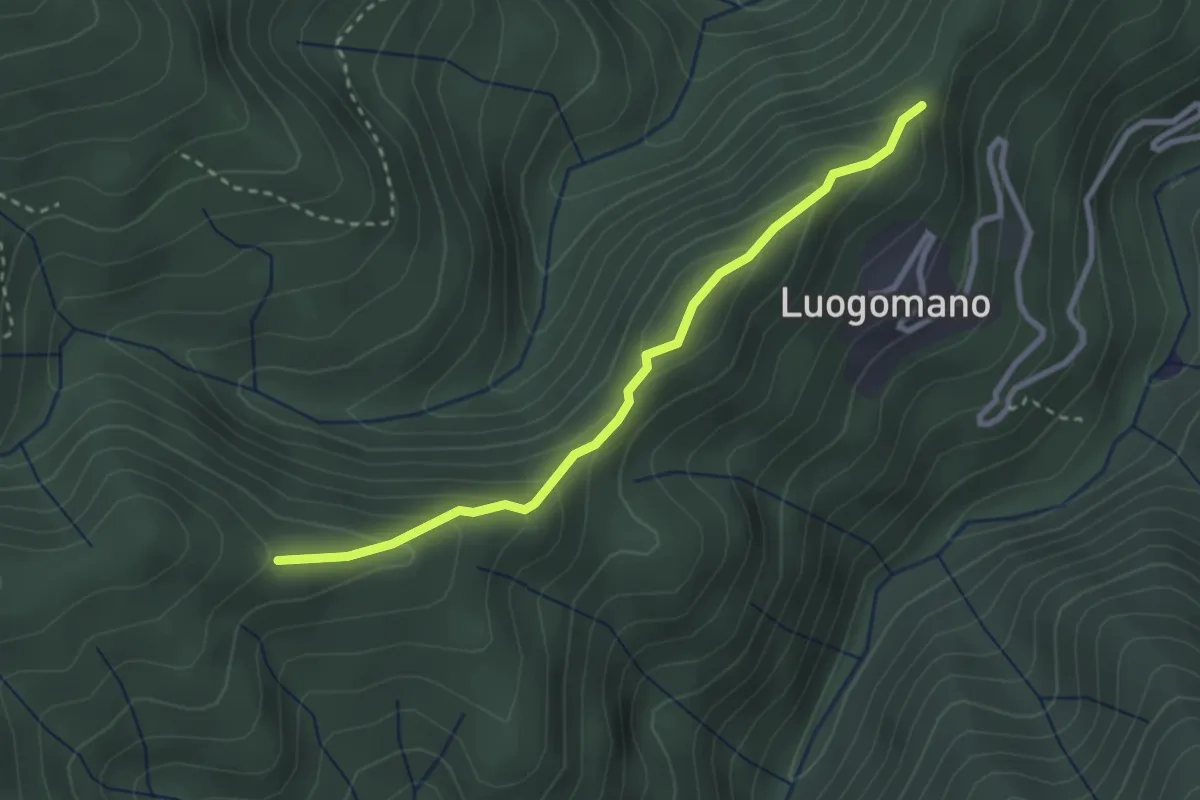
Easy · Trail
Luogomano – Il Cerro
2.9 km · ↑ 197 m · 1 h 6 min · 14 km away
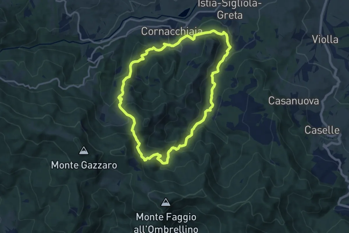
Medium · Trail
Anello 053 di Cornacchiaia
9.8 km · ↑ 576 m · 3 h 43 min · 14 km away