Trails near Barcellona Pozzo di Gotto
22 hikes starting within 15 km, nearest first.
Nearest first
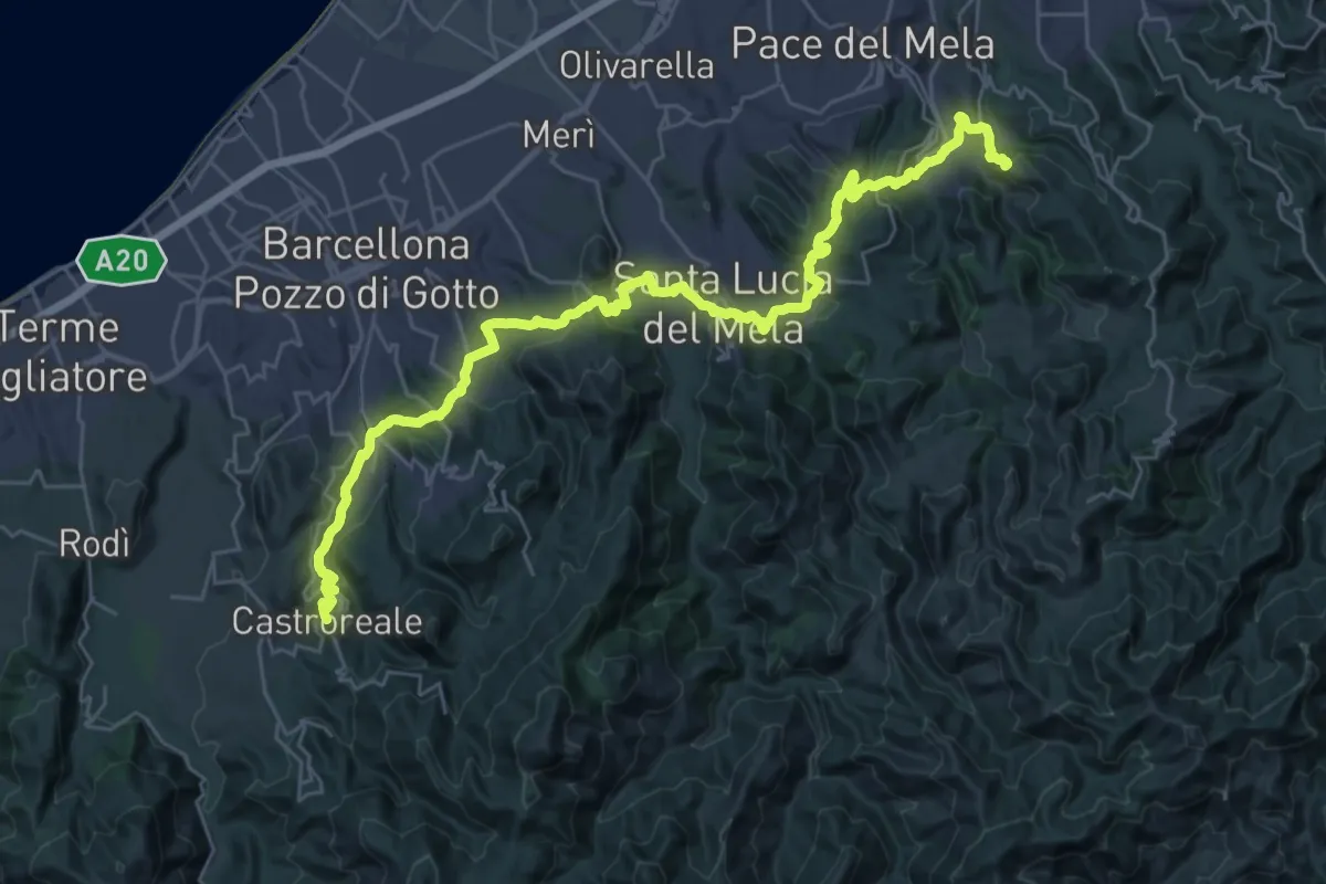
Demanding · Summit
Via Normanna - Tappa 18
21.1 km · ↑ 719 m · 6 h 55 min · 5 km away
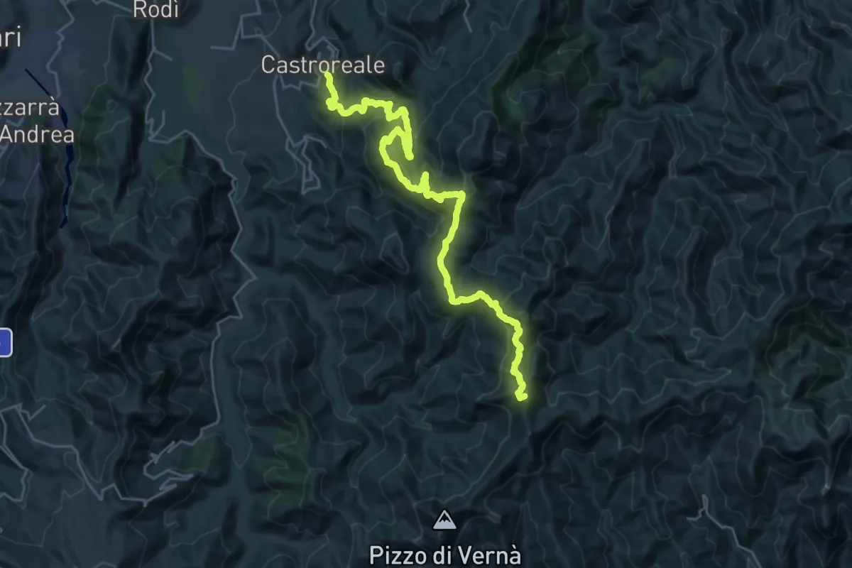
Demanding · Summit
Castroreale – Pizzo Batteddu SI
30.9 km · ↑ 1489 m · 10 h 31 min · 6 km away
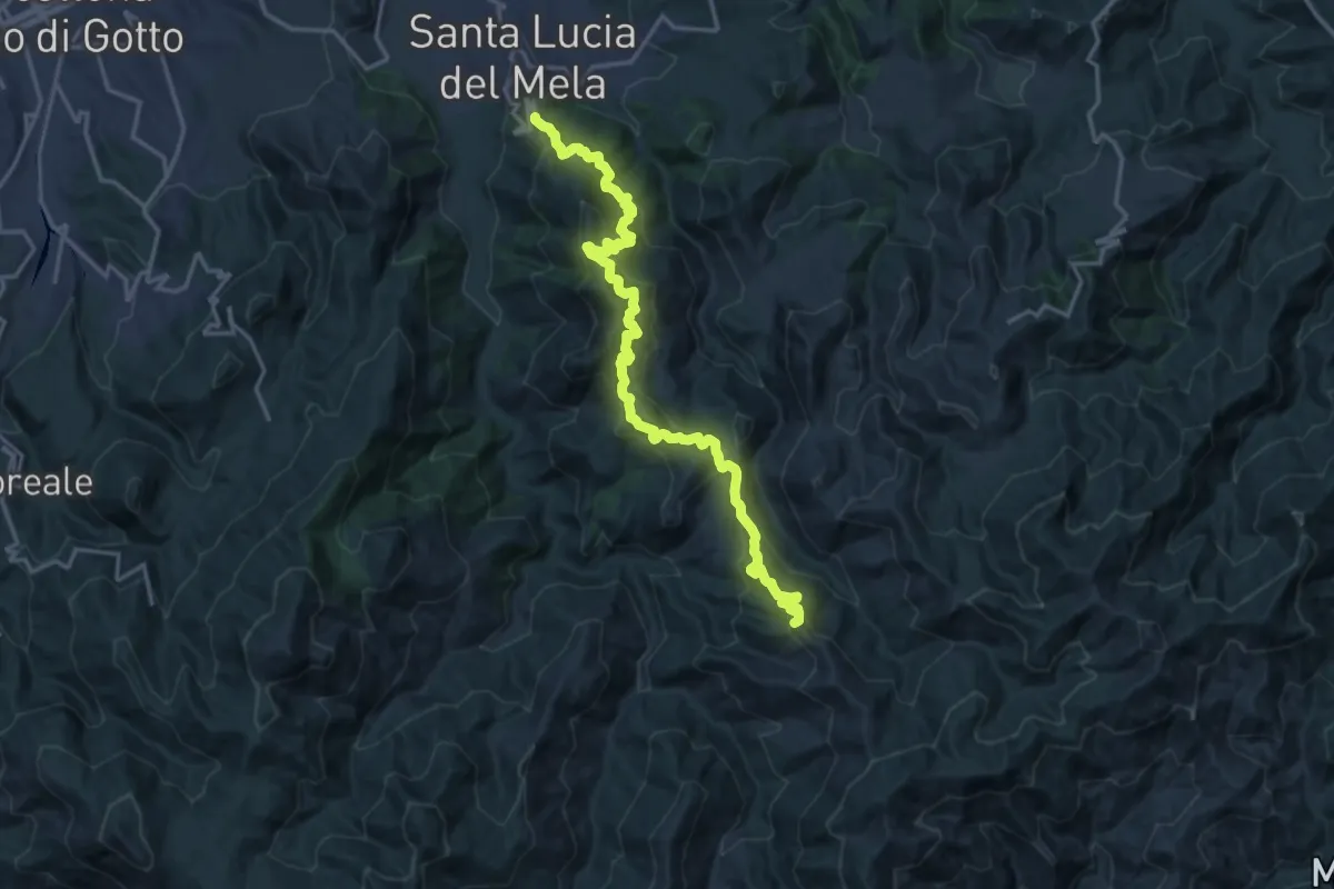
Demanding · Summit
S. Lucia del Mela Pizzo Croce
21.9 km · ↑ 1640 m · 8 h 44 min · 6 km away
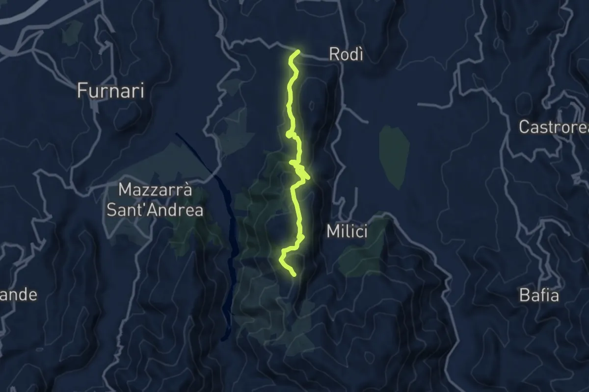
Medium · Trail
Piano Urni
10.4 km · ↑ 376 m · 3 h 17 min · 7 km away
Demanding · Trail
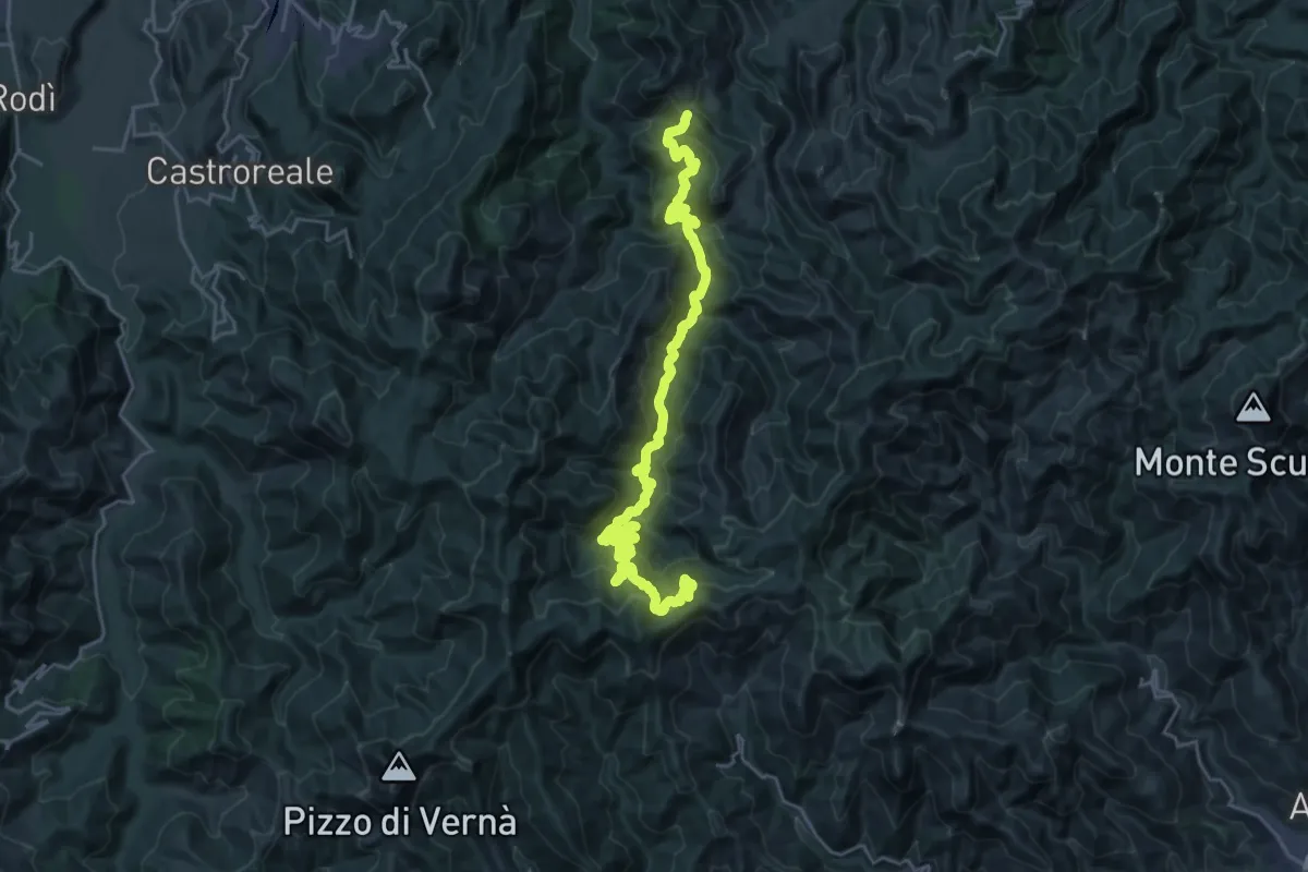
S. Lucia del mela Postoleone
16.4 km · ↑ 1120 m · 6 h 19 min · 8 km away
Demanding · Summit
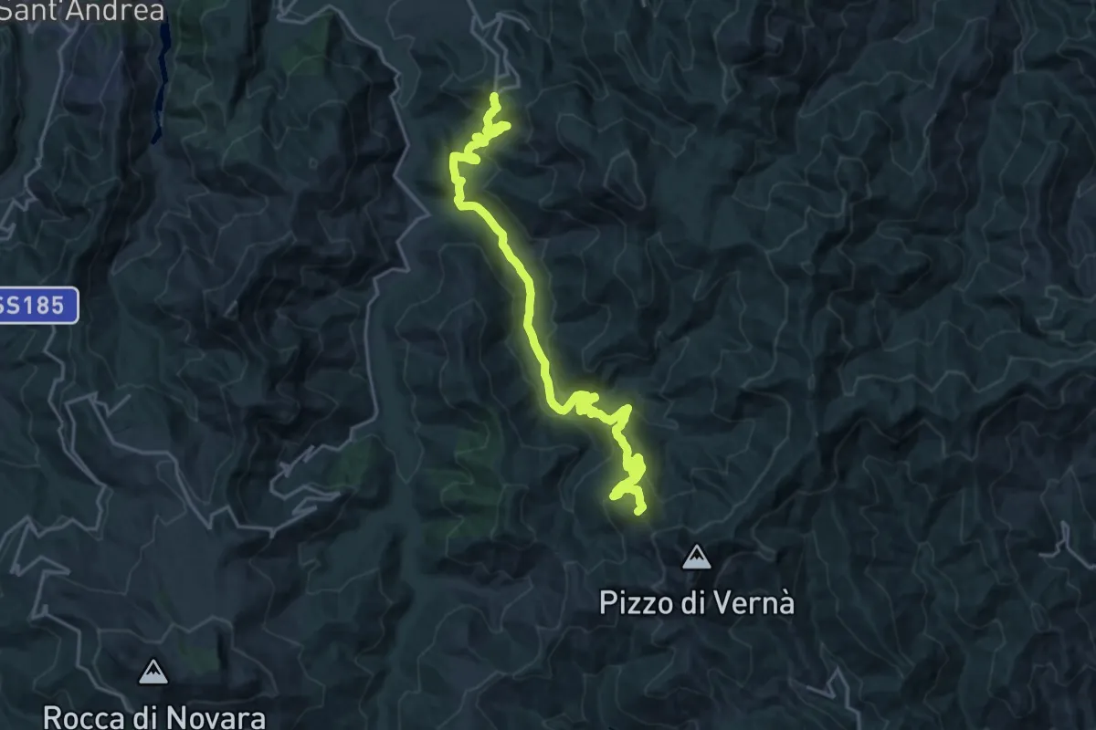
Bafia Pizzo Daini S.I.
25.8 km · ↑ 1134 m · 8 h 33 min · 8 km away
Demanding · Summit
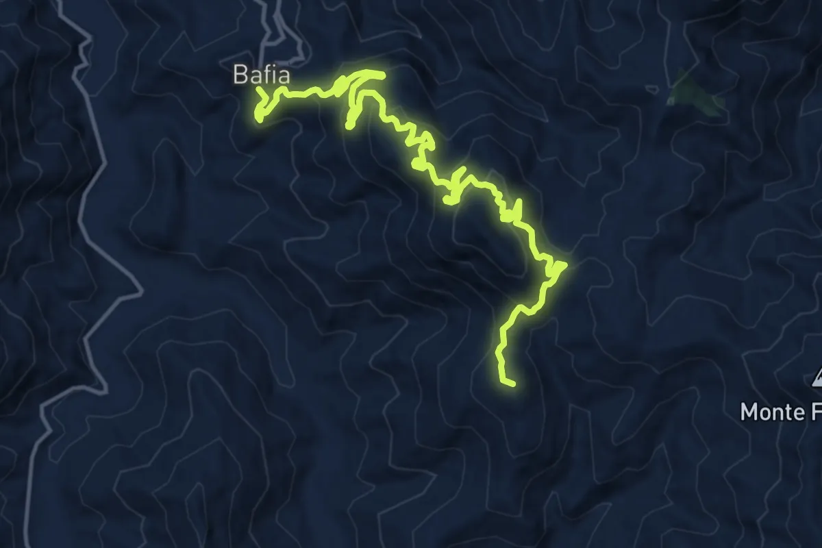
Bafia Pizzo Scapola
18.1 km · ↑ 1165 m · 6 h 48 min · 8 km away
Medium · Summit
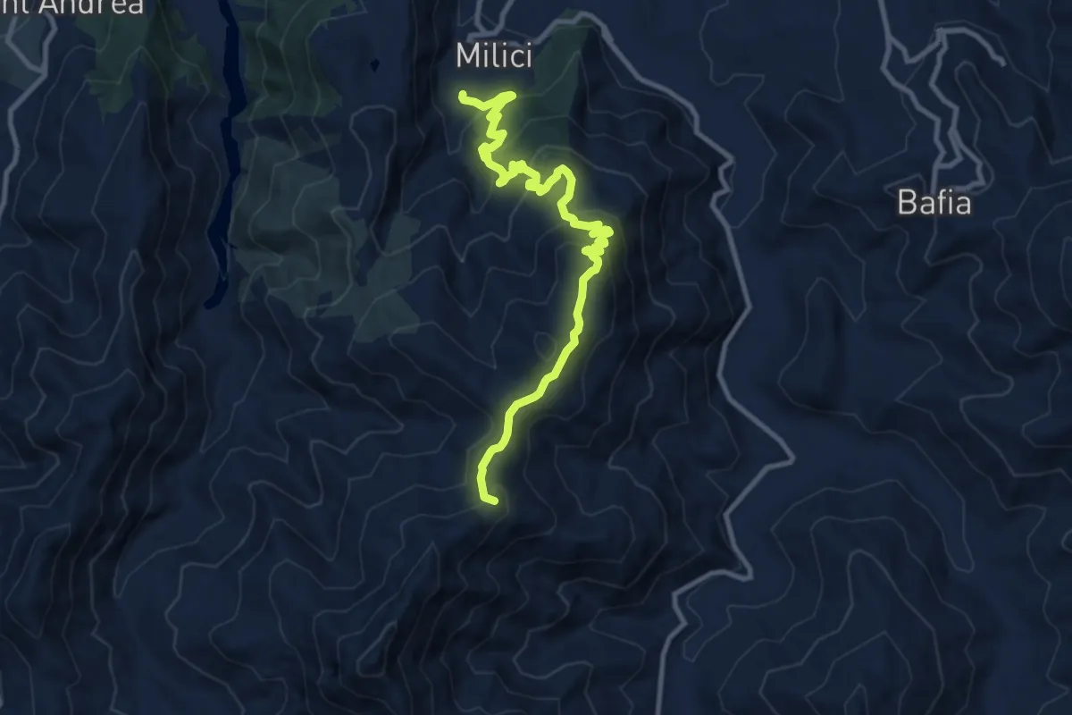
Piano Colla Pizzo Tre Croci
12.1 km · ↑ 729 m · 4 h 26 min · 9 km away
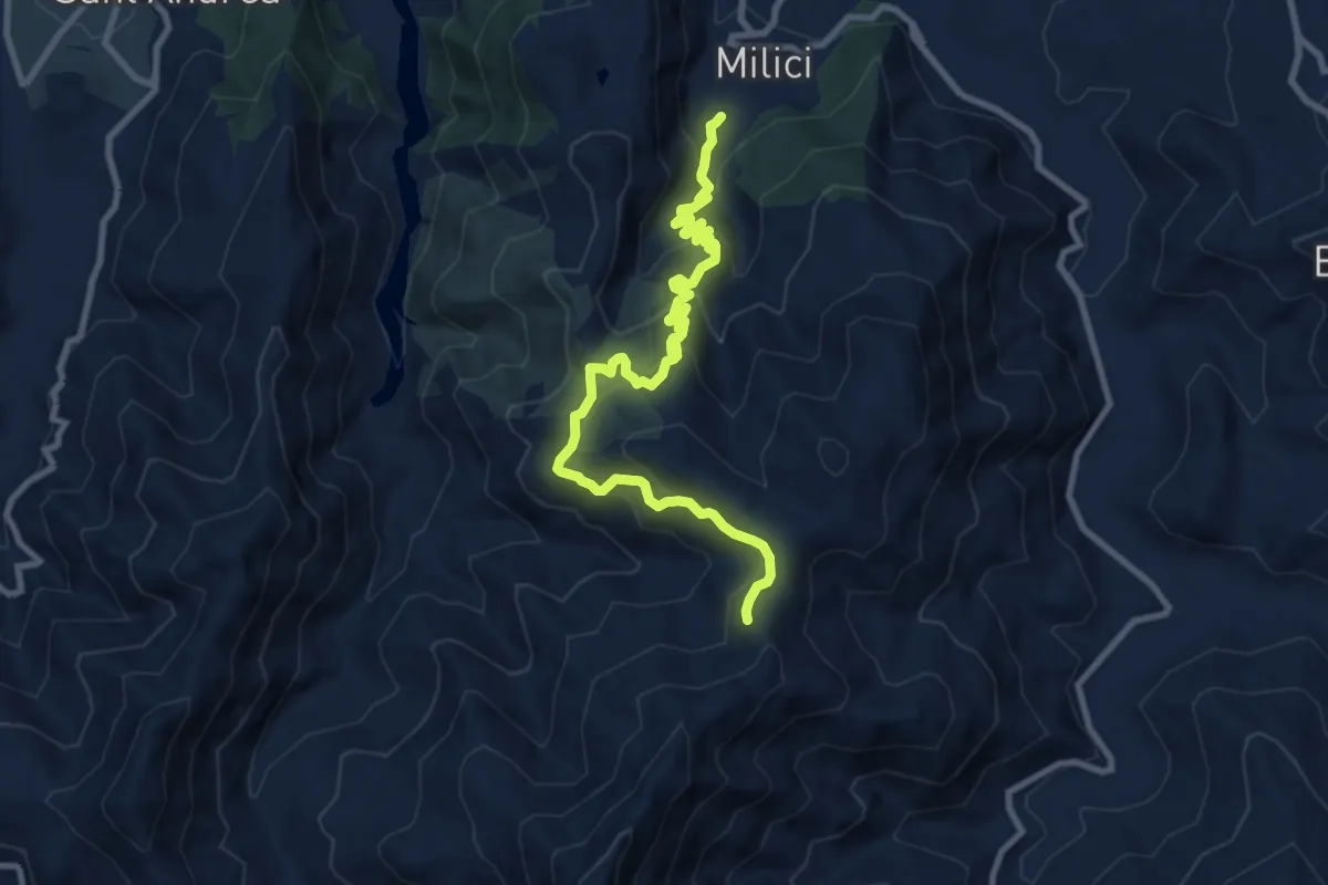
Demanding · Trail
Tre Croci
11.9 km · ↑ 936 m · 4 h 50 min · 9 km away
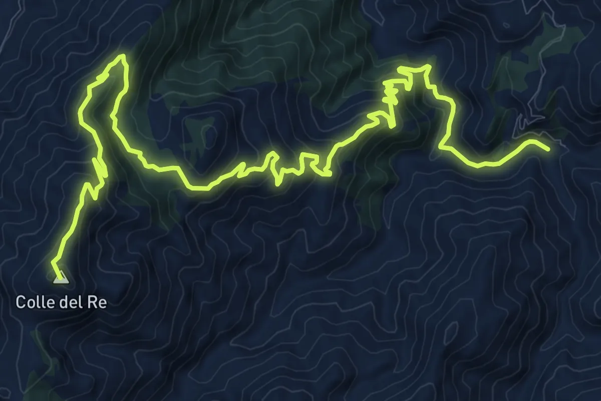
Demanding · Summit
torrente Mela Milioso colle del Re
21.9 km · ↑ 1097 m · 7 h 32 min · 9 km away
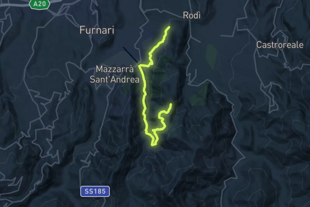
Demanding · Trail
Torrente Brandino Urni
17.7 km · ↑ 828 m · 5 h 59 min · 9 km away
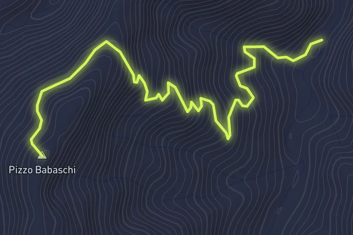
Medium · Summit
Rocca Timogna variante
5.0 km · ↑ 422 m · 2 h 5 min · 11 km away
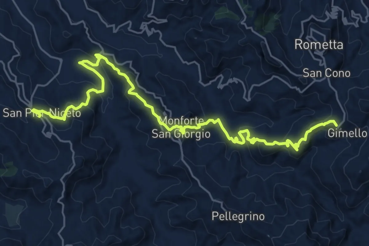
Medium · Summit
Via Normanna - Tappa 19
11.7 km · ↑ 642 m · 4 h 13 min · 12 km away
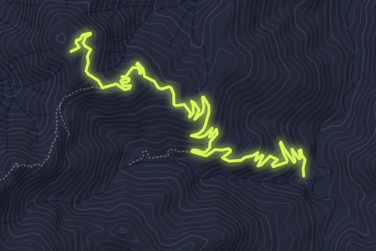
Medium · Summit
Pomaro Rocca Timogna
11.0 km · ↑ 678 m · 4 h 3 min · 12 km away
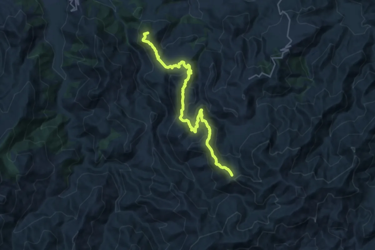
Demanding · Summit
S. Maria sentiero Italia
18.3 km · ↑ 1140 m · 6 h 47 min · 13 km away
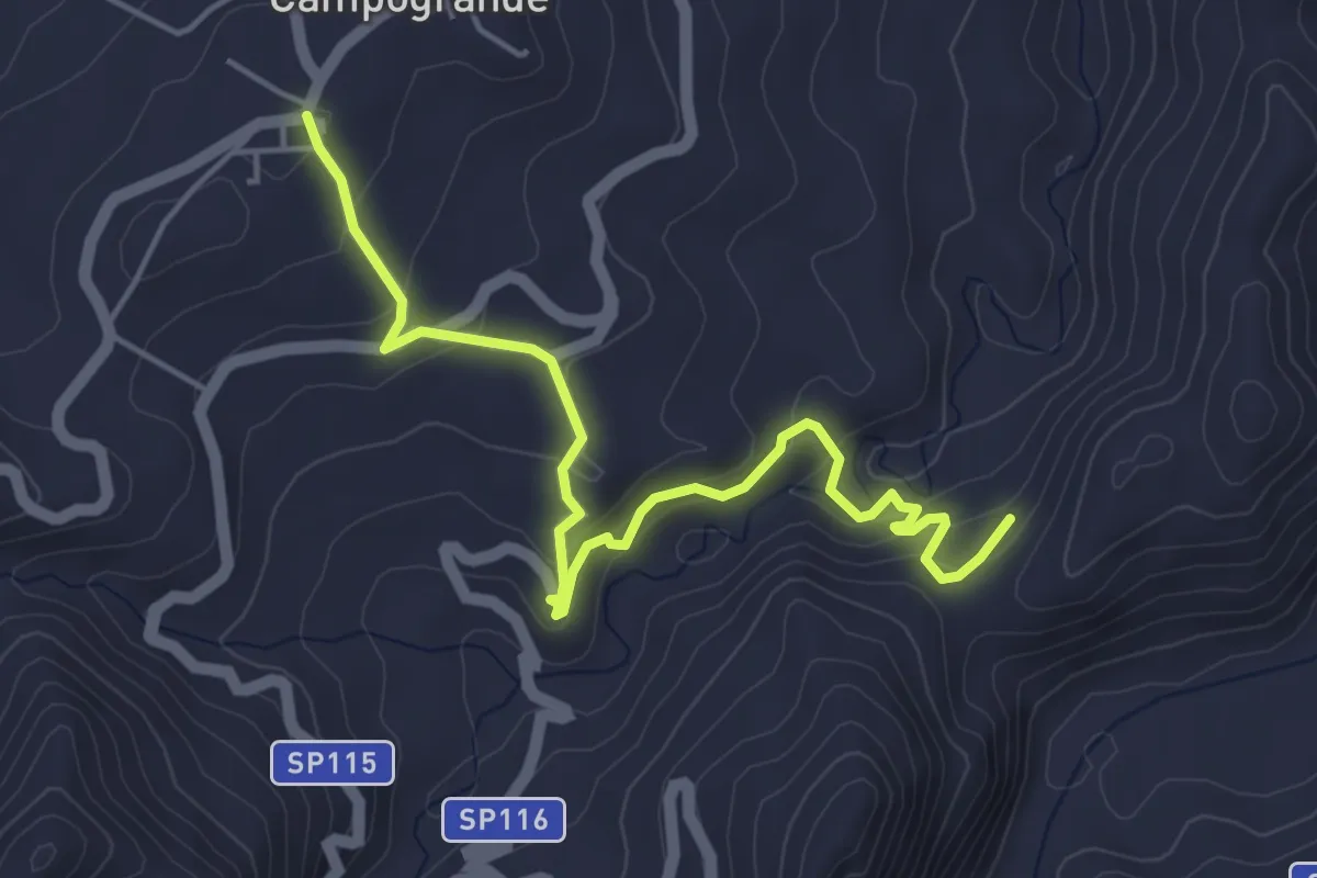
Easy · Trail
Campogrande - Scavi di Abakainon
6.0 km · ↑ 277 m · 2 h 1 min · 13 km away
Easy · Trail
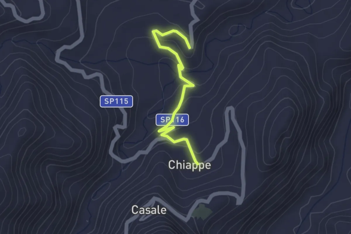
Bivio Sentiero 252 – Chiappe
3.3 km · ↑ 128 m · 1 h 3 min · 14 km away
Demanding · Summit
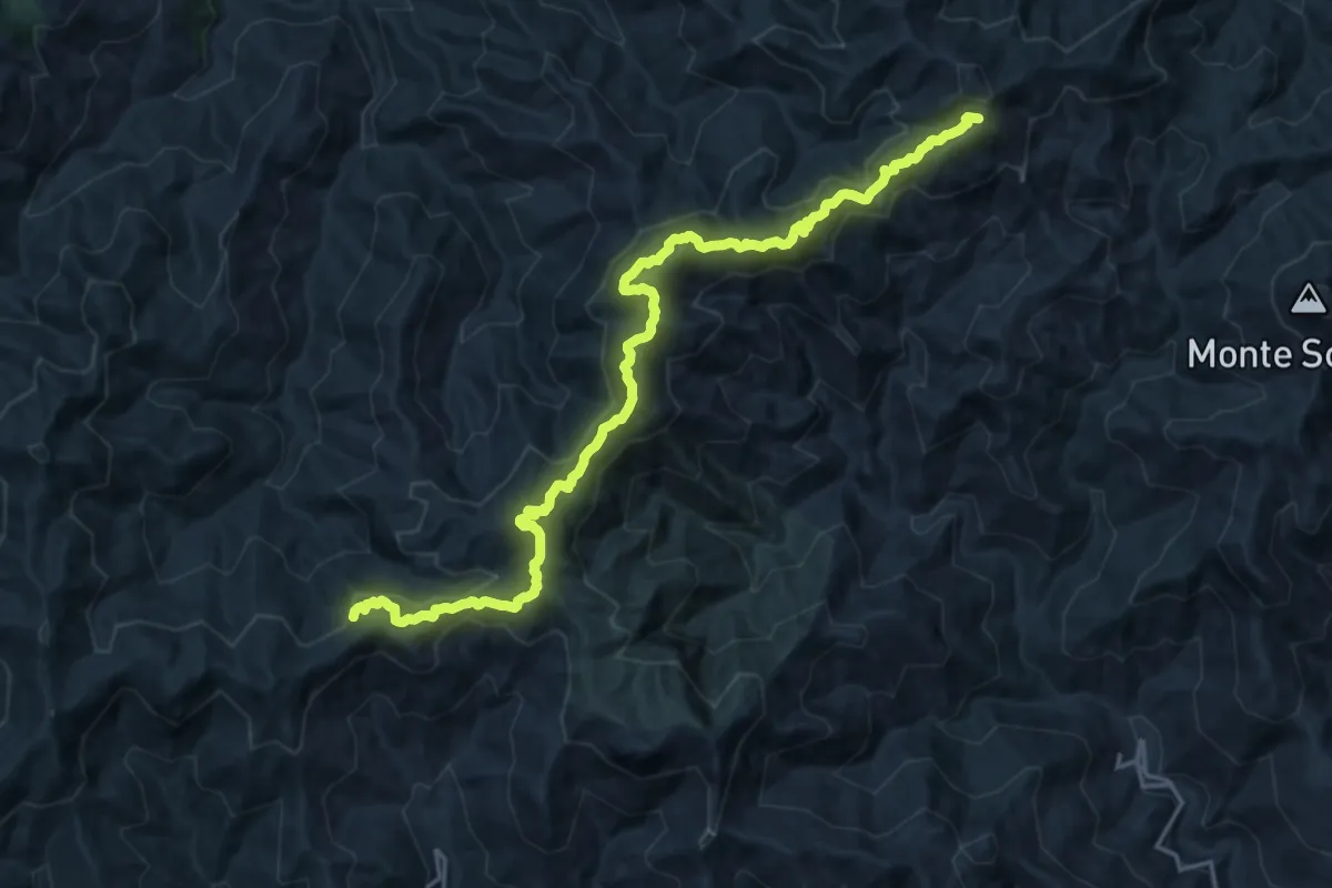
Cantoniera Postoleoni – Piano Margi
23.0 km · ↑ 1141 m · 7 h 54 min · 14 km away
Demanding · Summit
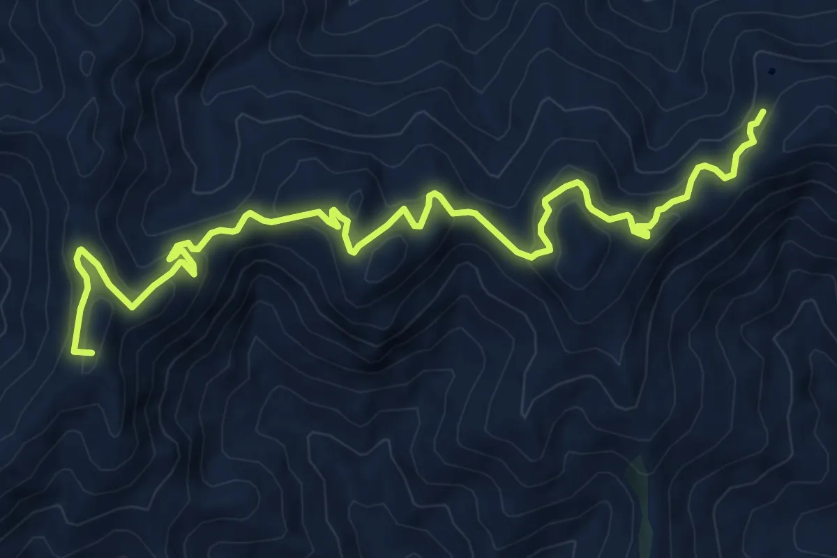
Bivio Colla Bassa – Cantoniera Postoleoni
11.7 km · ↑ 672 m · 4 h 13 min · 14 km away
Demanding · Summit
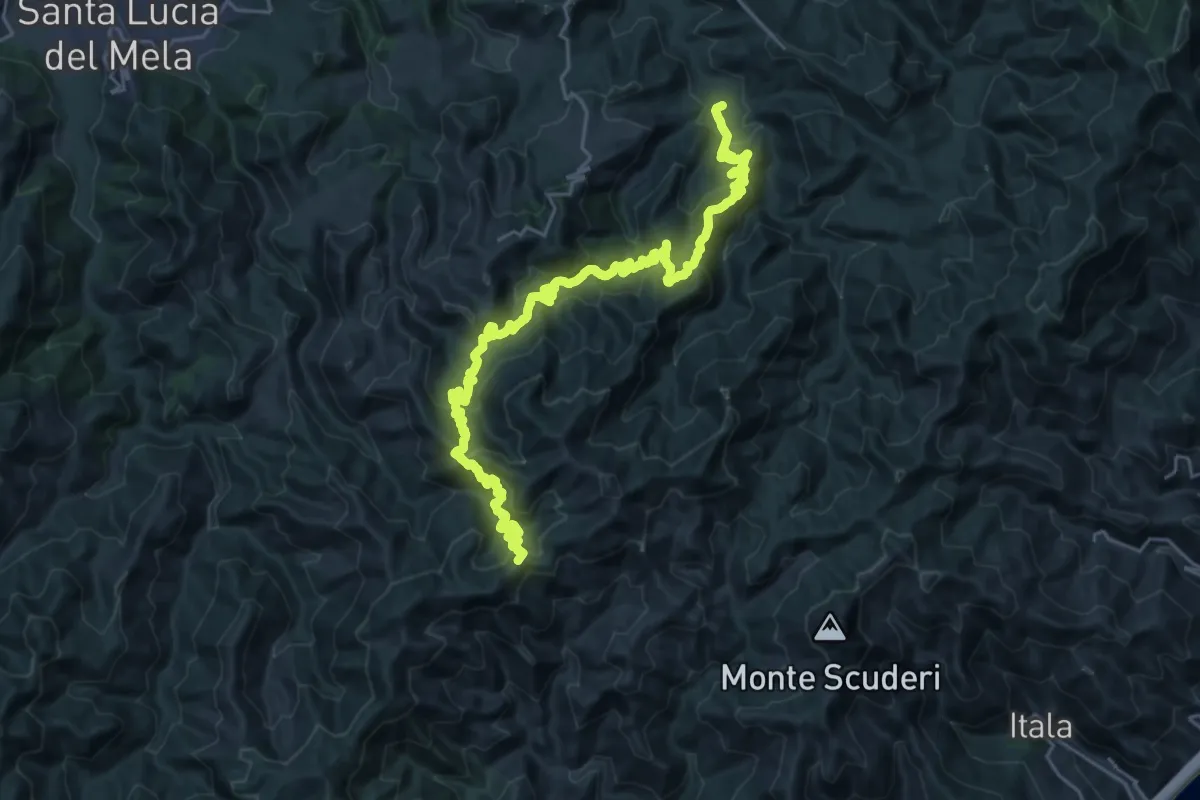
Liarusa Rossimanno Portella Menta
34.8 km · ↑ 2353 m · 13 h 19 min · 15 km away
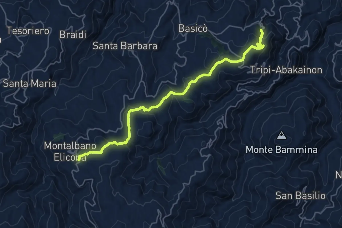
Demanding · Trail
Tripi (SP 110) – Montalbano Elicona
20.2 km · ↑ 648 m · 6 h 10 min · 15 km away
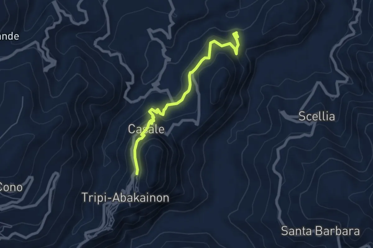
Medium · Trail
Abakainon - Tripi
5.7 km · ↑ 323 m · 2 h 3 min · 15 km away