Trails near Bassano del Grappa
88 hikes starting within 15 km, nearest first.
Nearest first, page 2 of 2
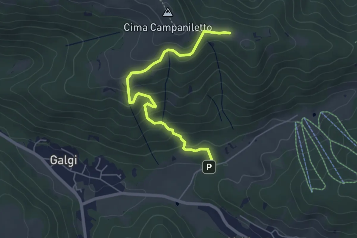
Easy · Summit
Percorso 872 – Percorso 872
4.6 km · ↑ 233 m · 1 h 36 min · 11 km away
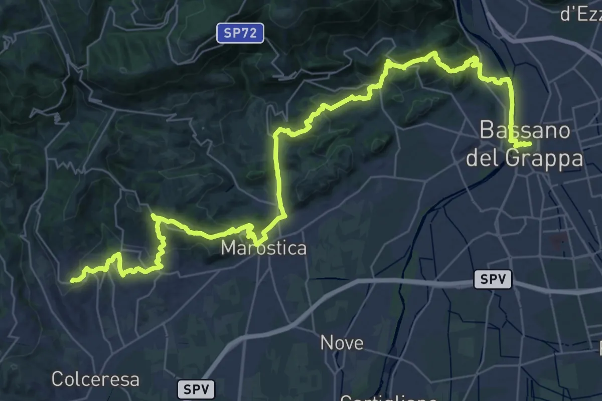
Demanding · Trail
Cammino del Beato Claudio 04
21.6 km · ↑ 683 m · 6 h 56 min · 11 km away
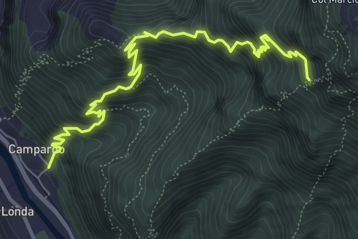
Demanding · Trail
Laste Rosse
7.2 km · ↑ 1109 m · 4 h 6 min · 11 km away
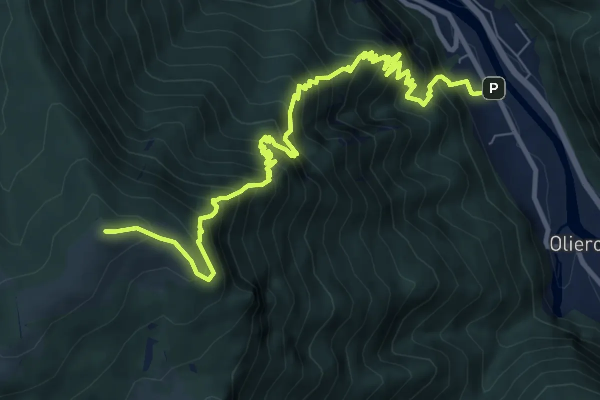
Demanding · Summit
Londa – Casara Col d'Astiago - inn. sent. 800
9.0 km · ↑ 1320 m · 4 h 59 min · 11 km away
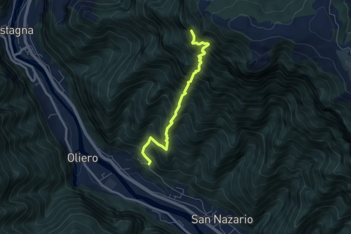
Demanding · Trail
Val Munare
5.1 km · ↑ 966 m · 3 h 18 min · 11 km away
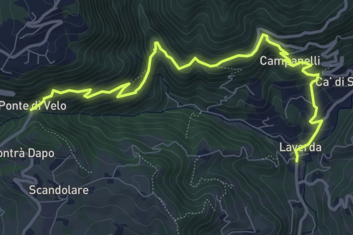
Medium · Trail
Sentiero dei Maronari
8.9 km · ↑ 552 m · 3 h 18 min · 11 km away
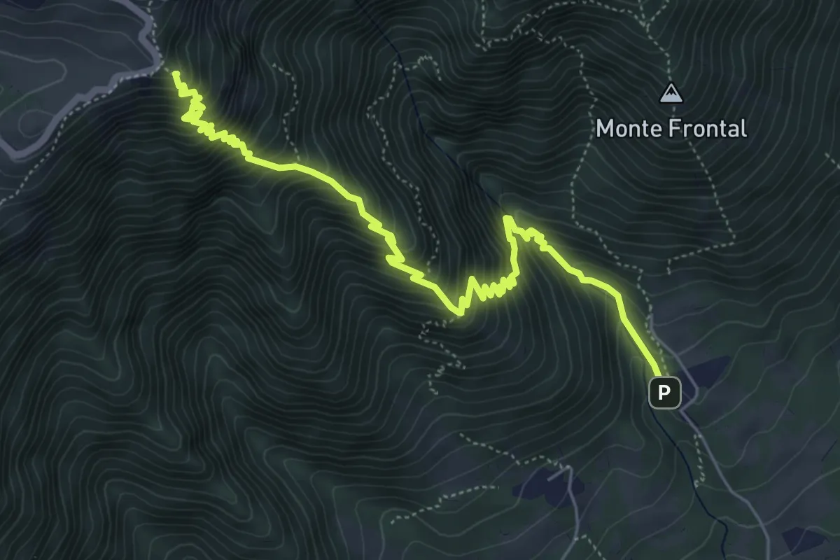
Demanding · Summit
Madonna del Covolo – M. Colombera - innesto su sentiero 100
6.9 km · ↑ 866 m · 3 h 30 min · 11 km away
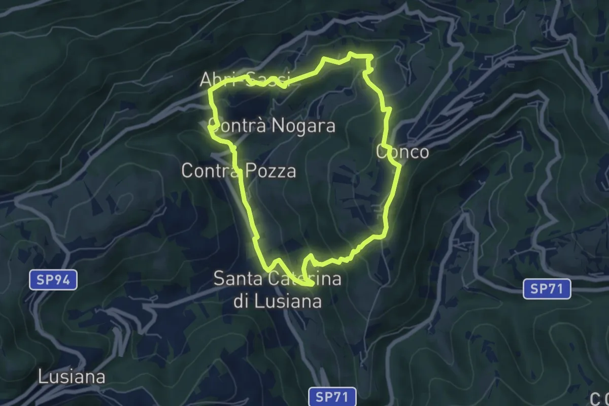
Easy · Trail
Sentiero dell'Amore
5.7 km · ↑ 302 m · 2 h 4 min · 12 km away
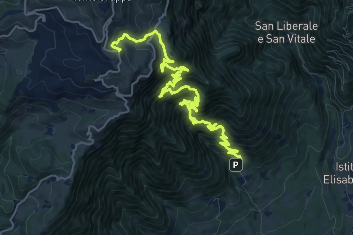
Demanding · Trail
Mulattiera del Covolo
16.1 km · ↑ 1752 m · 7 h 36 min · 12 km away
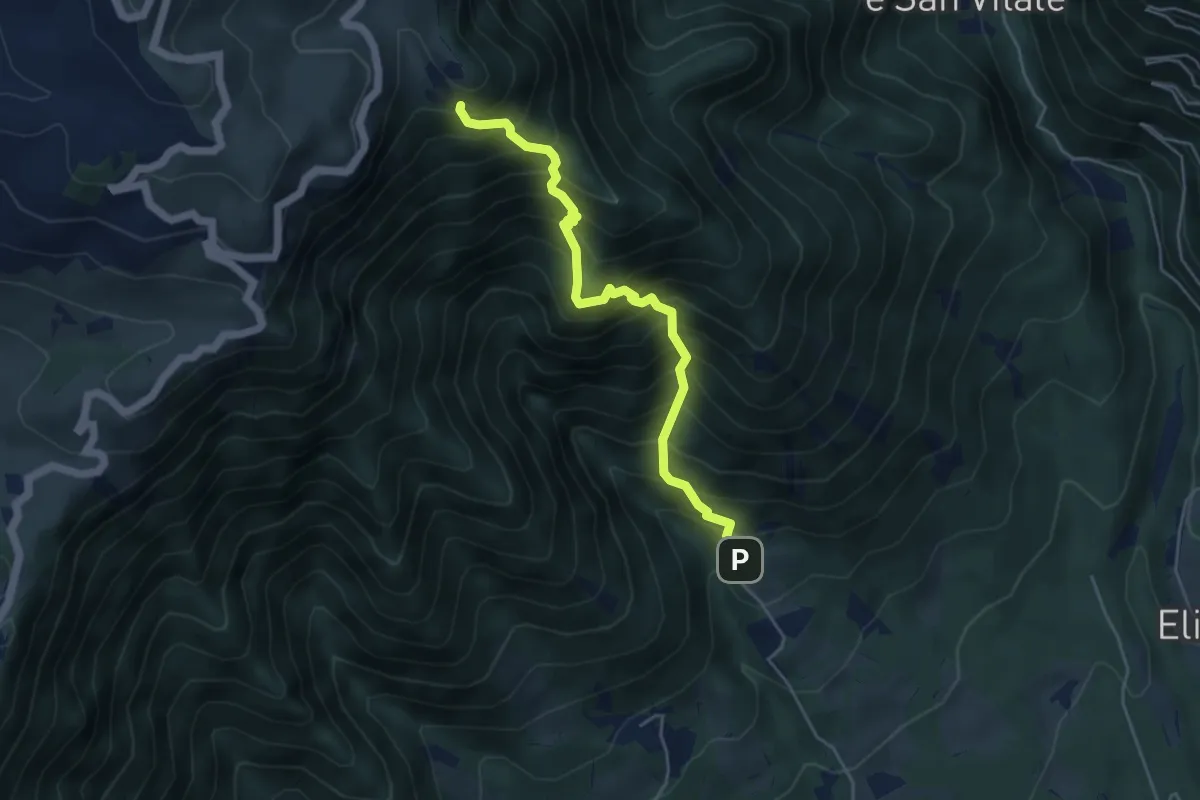
Demanding · Trail
Madonna del Covolo – Cippo dei Partigiani - innesto sentieri 105 e 109
4.7 km · ↑ 836 m · 2 h 55 min · 12 km away
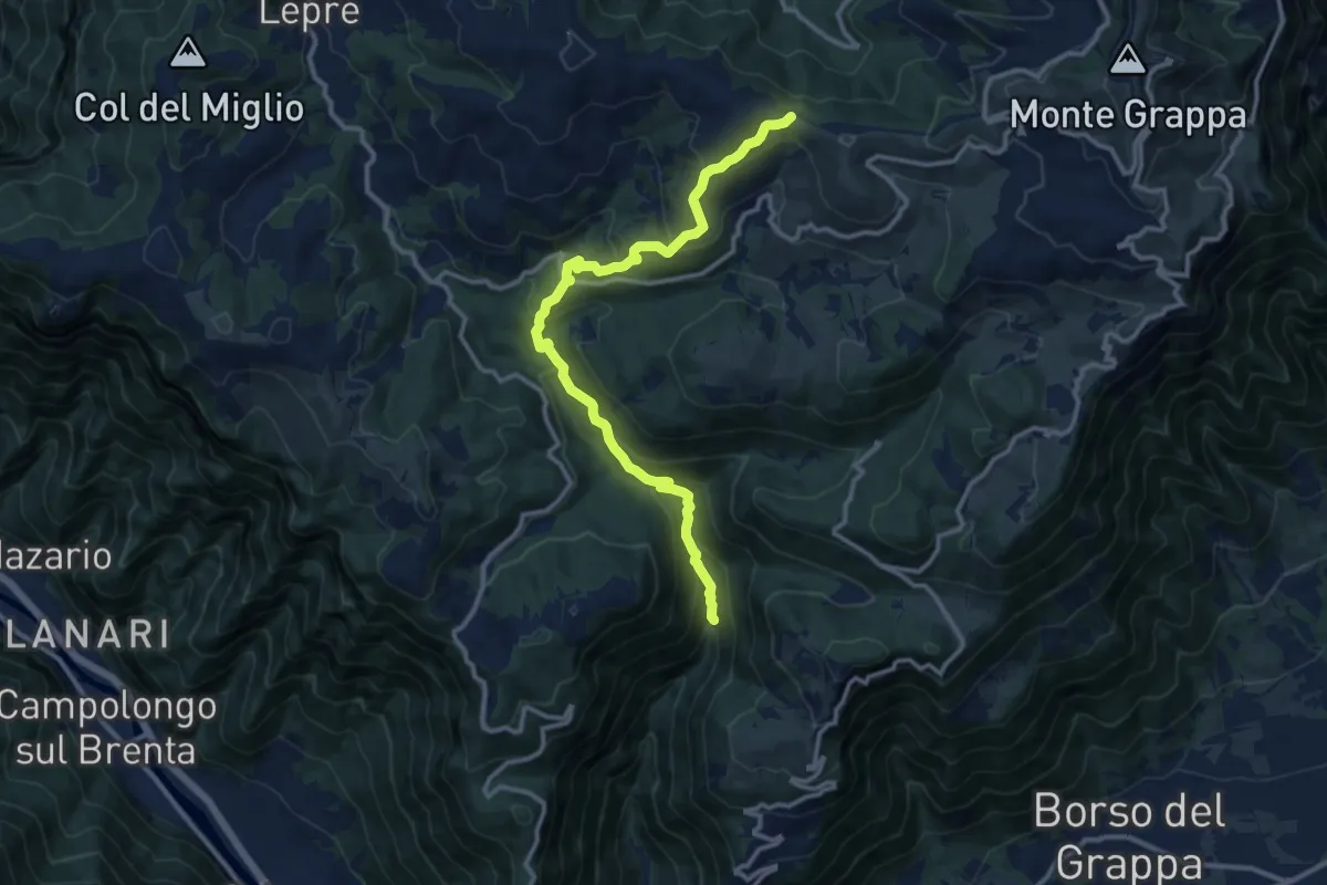
Medium · Trail
Alta Valle di Santa Felicita - da sent. 180 – Croce del Termine (quota 1451m)
12.5 km · ↑ 797 m · 4 h 41 min · 12 km away
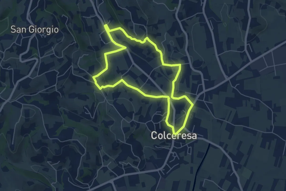
Easy · Trail
Percorso dello Scoiattolo
5.4 km · ↑ 119 m · 1 h 36 min · 12 km away
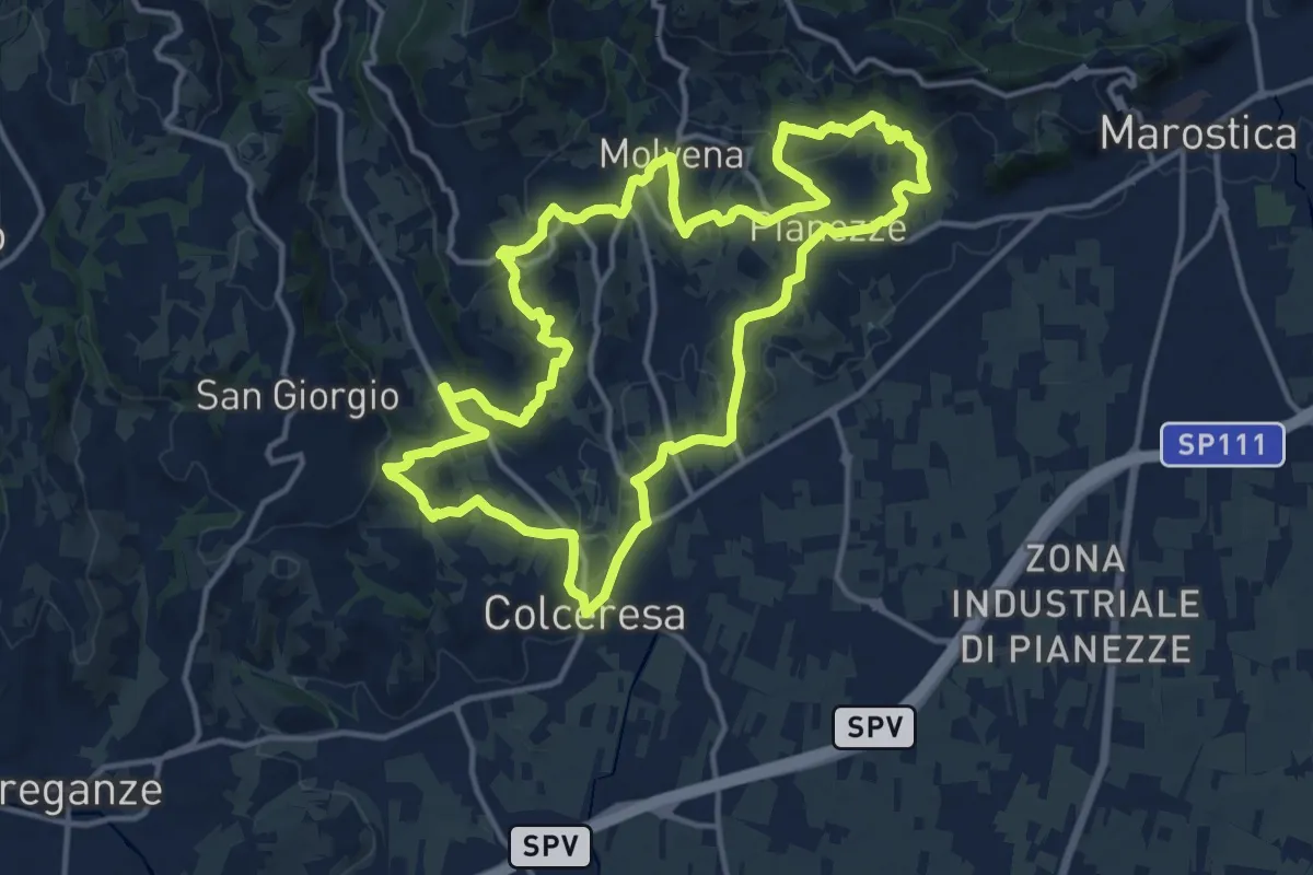
Medium · Trail
Colceresa
14.7 km · ↑ 468 m · 4 h 42 min · 12 km away
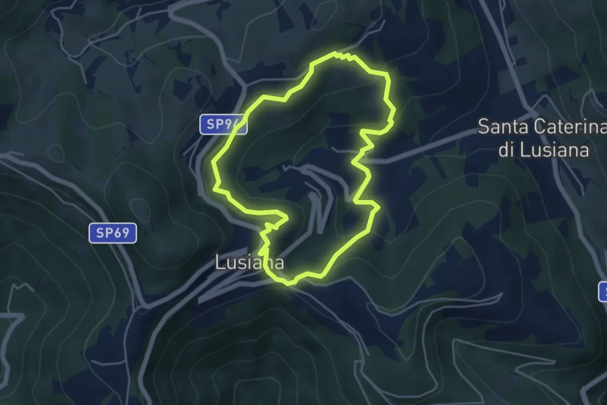
Easy · Trail
Sentiero Pomo Pero
3.9 km · ↑ 200 m · 1 h 25 min · 12 km away
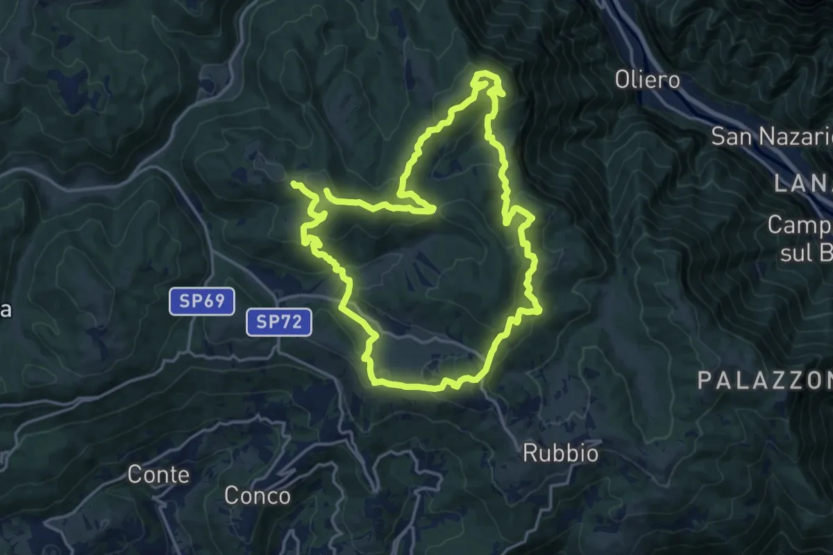
Demanding · Summit
Anello dei Tre Confini
31.5 km · ↑ 1474 m · 10 h 38 min · 12 km away
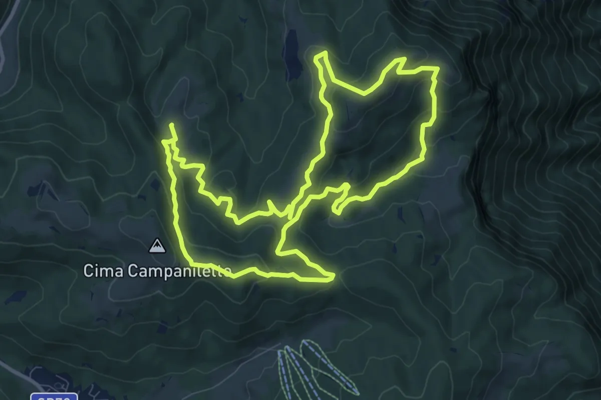
Medium · Summit
Trodoi Trails 18
10.2 km · ↑ 426 m · 3 h 29 min · 12 km away
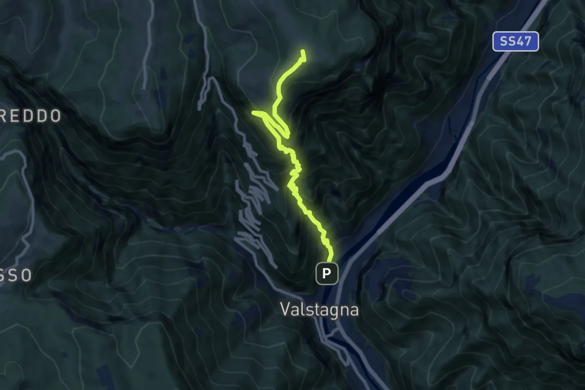
Demanding · Summit
Mori (Valstagna) - Monte Cornone - Sasso Rosso
8.5 km · ↑ 1324 m · 4 h 53 min · 12 km away
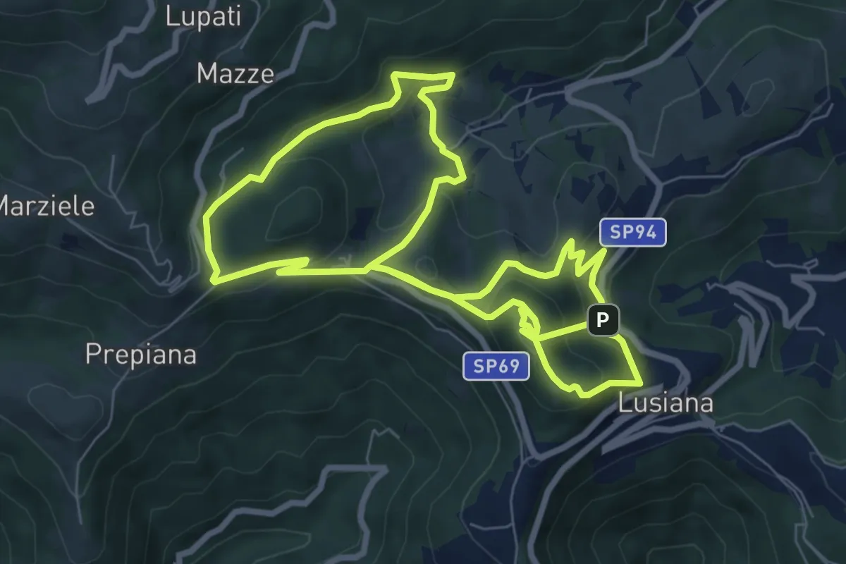
Medium · Summit
Lusia…’ndando
14.9 km · ↑ 753 m · 5 h 9 min · 13 km away
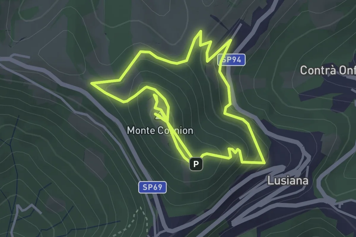
Medium · Summit
Eco Sentiero del Monte Corgnon
6.6 km · ↑ 365 m · 2 h 20 min · 13 km away
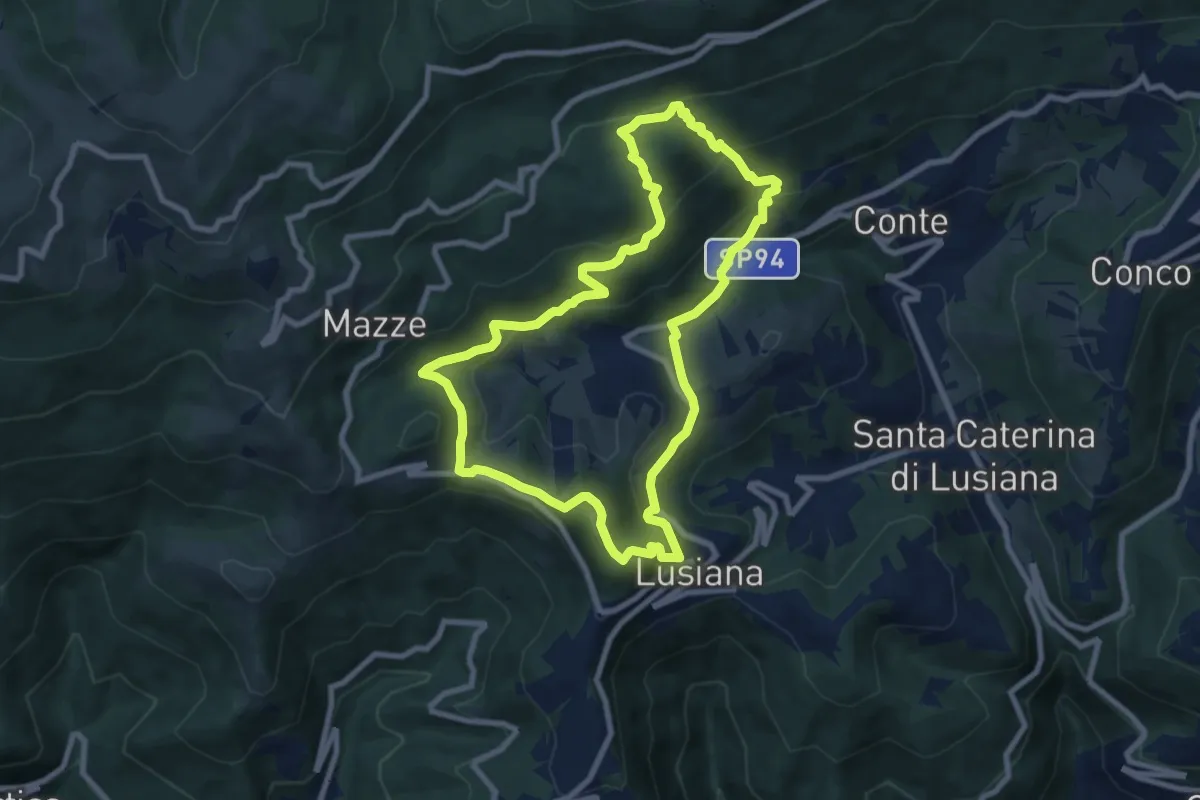
Medium · Summit
Sentiro delle Calcare
8.3 km · ↑ 424 m · 2 h 59 min · 13 km away
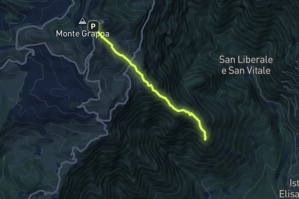
Expert · Summit
Madonna del Covolo – Rifugio Bassano - Cima Grappa
5.8 km · ↑ 749 m · 2 h 59 min · 13 km away
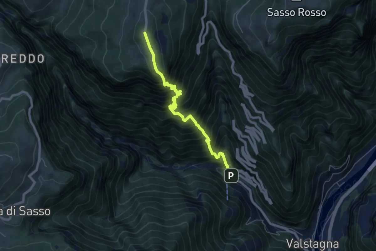
Expert · Trail
Pierino della Zuanna
5.7 km · ↑ 1032 m · 3 h 34 min · 13 km away
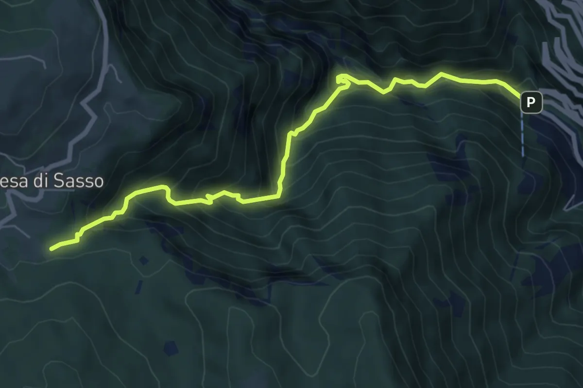
Demanding · Trail
Calà del Sasso
6.7 km · ↑ 839 m · 3 h 24 min · 13 km away
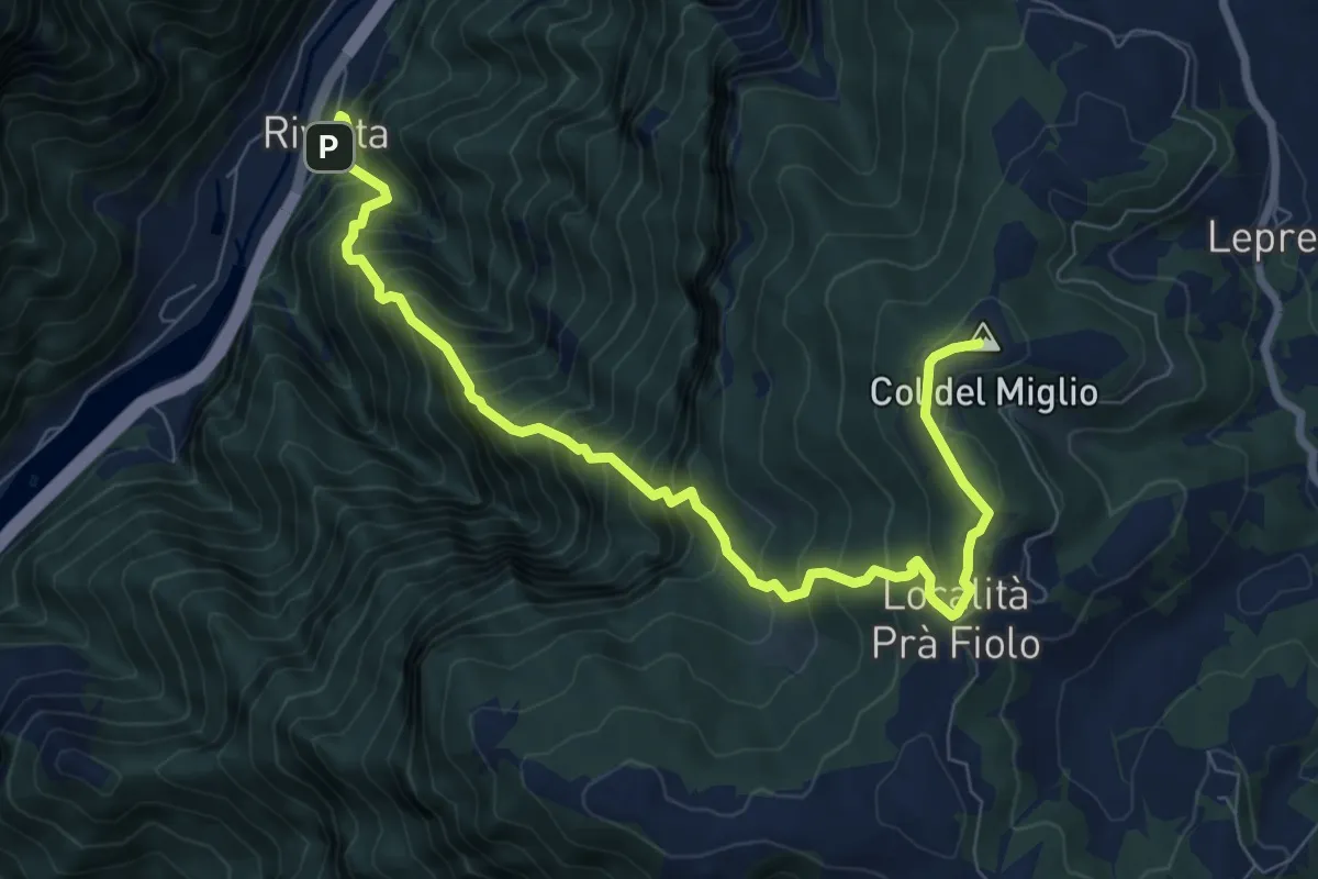
Demanding · Summit
Rivalta – Col del Miglio
9.2 km · ↑ 1227 m · 4 h 50 min · 13 km away
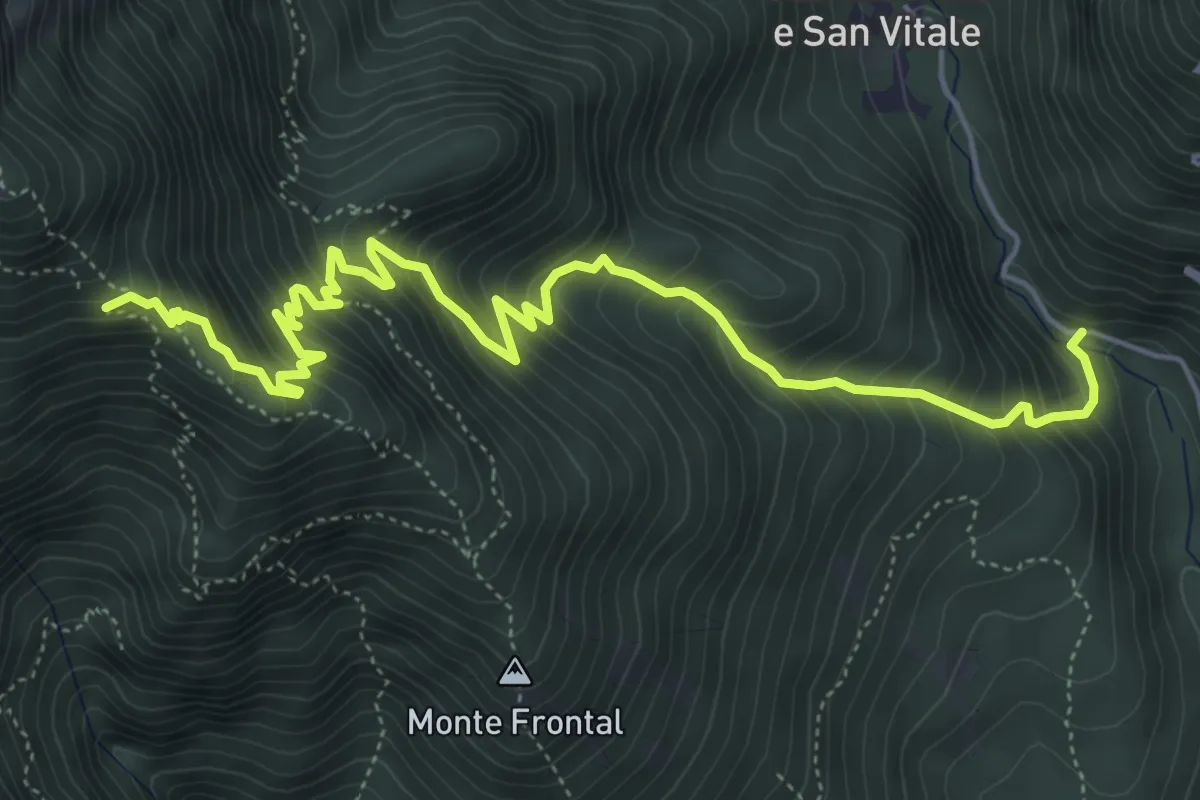
Medium · Trail
Strada per San Liberale – Cippo dei Partigiani - innesto sentieri 105-106-109
6.9 km · ↑ 794 m · 3 h 21 min · 13 km away
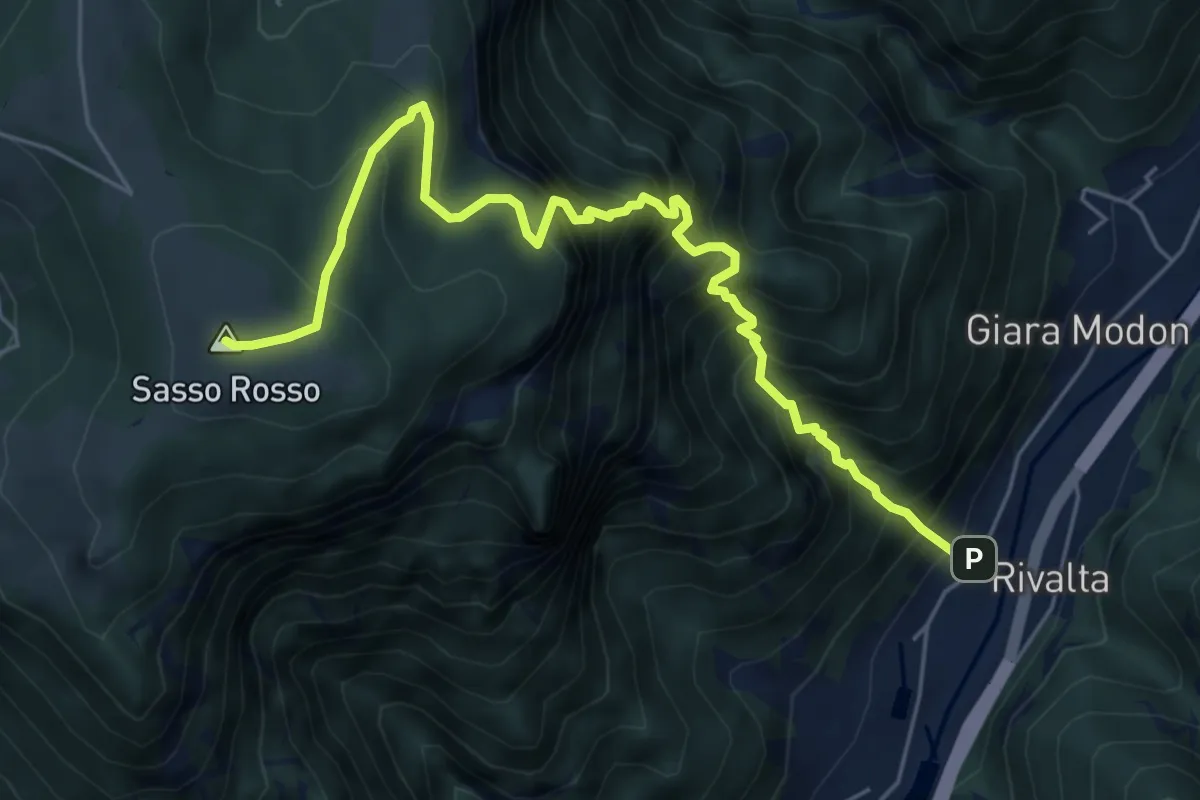
Demanding · Summit
Sasso Stefani – Sasso Rosso
6.6 km · ↑ 1099 m · 3 h 57 min · 13 km away
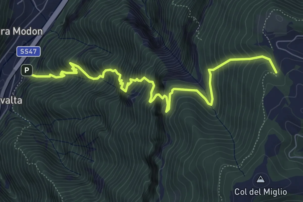
Demanding · Trail
Rivalta - sbocco Val del Ponte Vecchio – Sotto Col Caprile - inn. sent. 940
7.7 km · ↑ 1109 m · 4 h 13 min · 13 km away
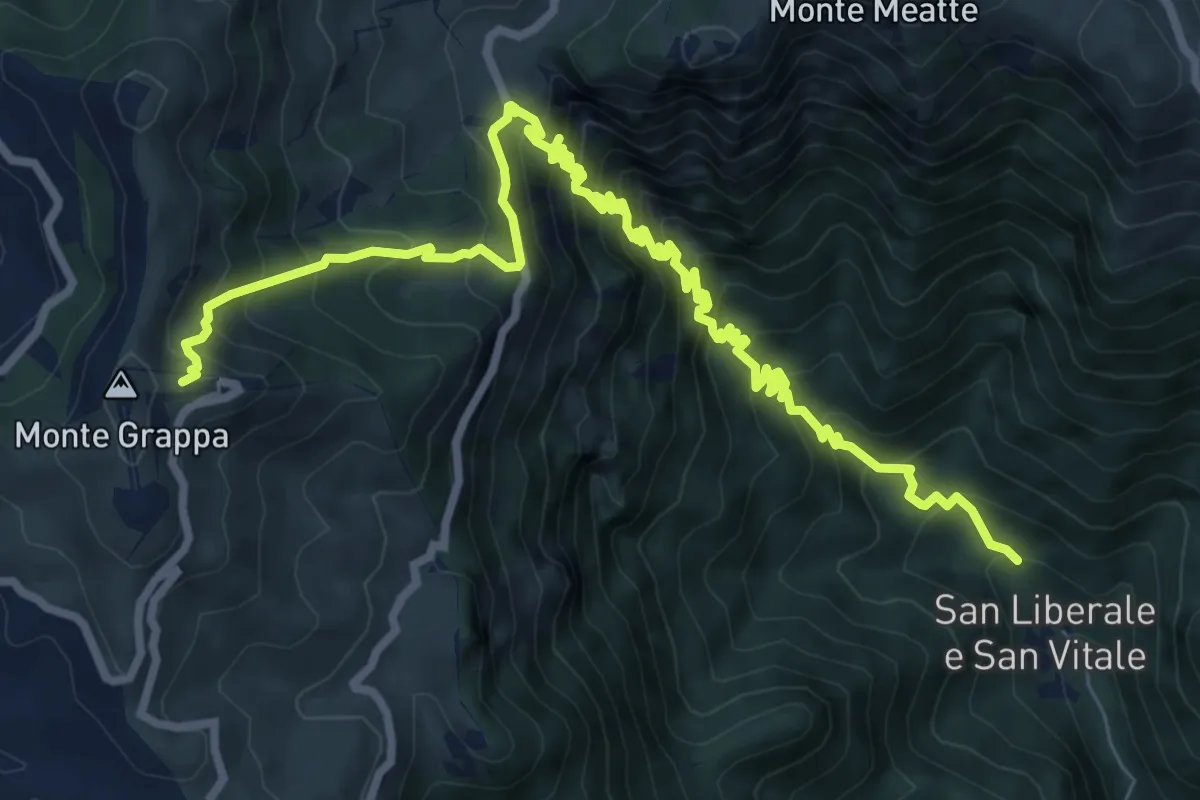
Demanding · Cabin
San Liberale – Rifugio Bassano Cima Grappa
11.4 km · ↑ 1188 m · 5 h 16 min · 14 km away
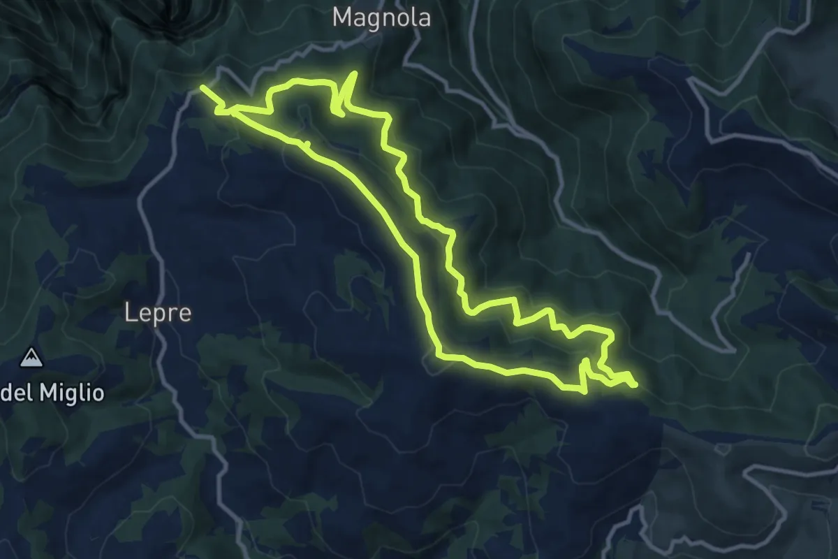
Medium · Summit
Trodoi Trails 16
10.5 km · ↑ 556 m · 3 h 52 min · 14 km away
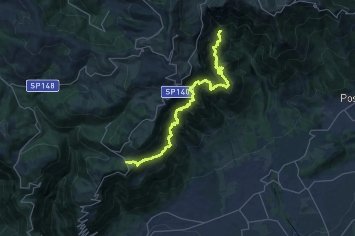
Expert · Trail
Campocroce – Val del Lastego - innesto sentiero 151
9.7 km · ↑ 1081 m · 4 h 43 min · 14 km away
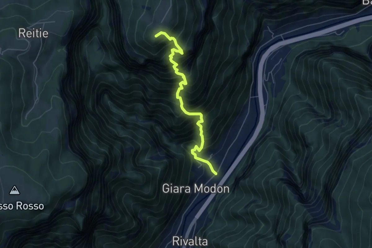
Demanding · Summit
Valgadena - Loke - Monte Spitz - Stoner
5.4 km · ↑ 1038 m · 3 h 31 min · 14 km away
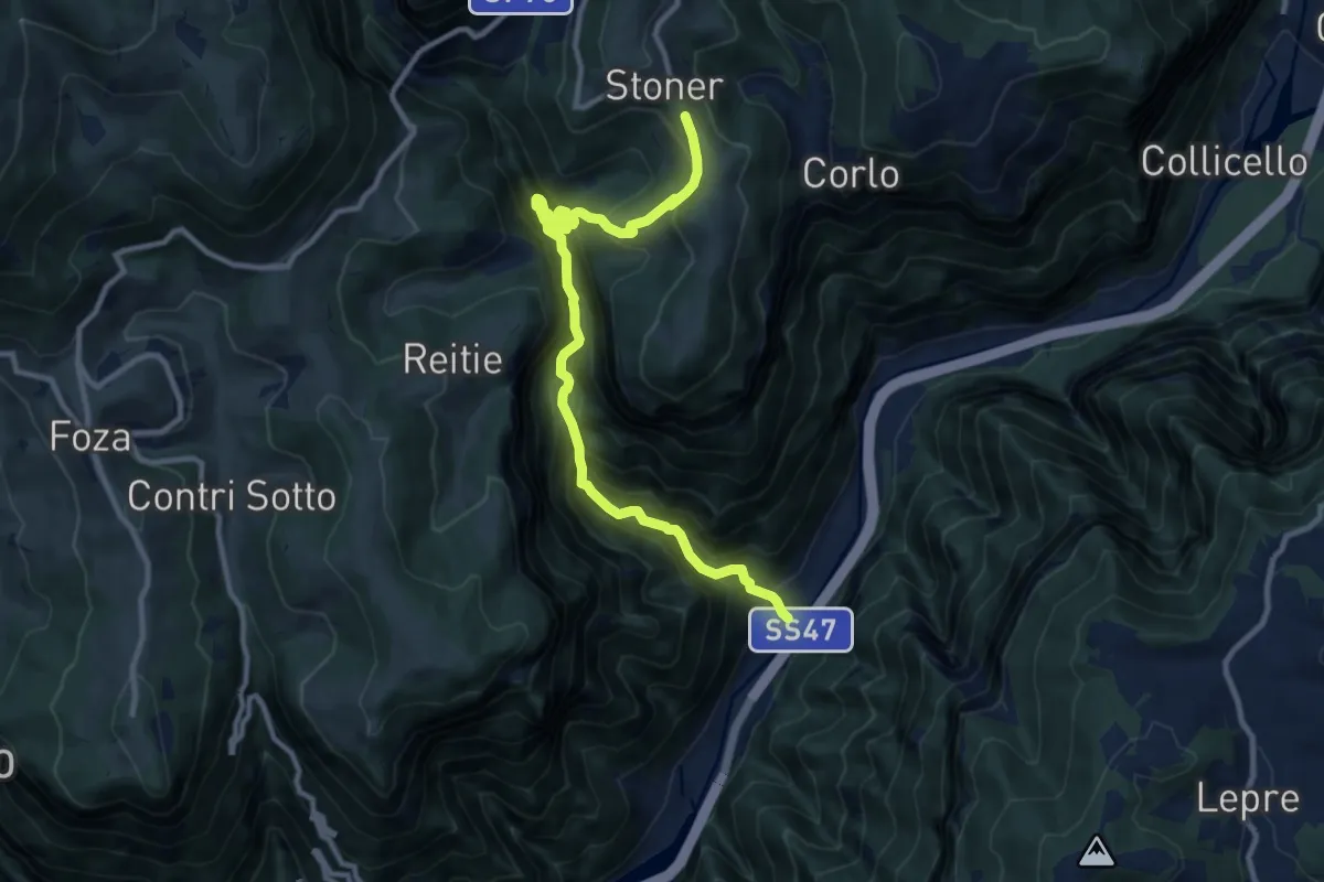
Demanding · Trail
Valgadena - Lessi - Stoner
11.3 km · ↑ 1110 m · 5 h 4 min · 14 km away
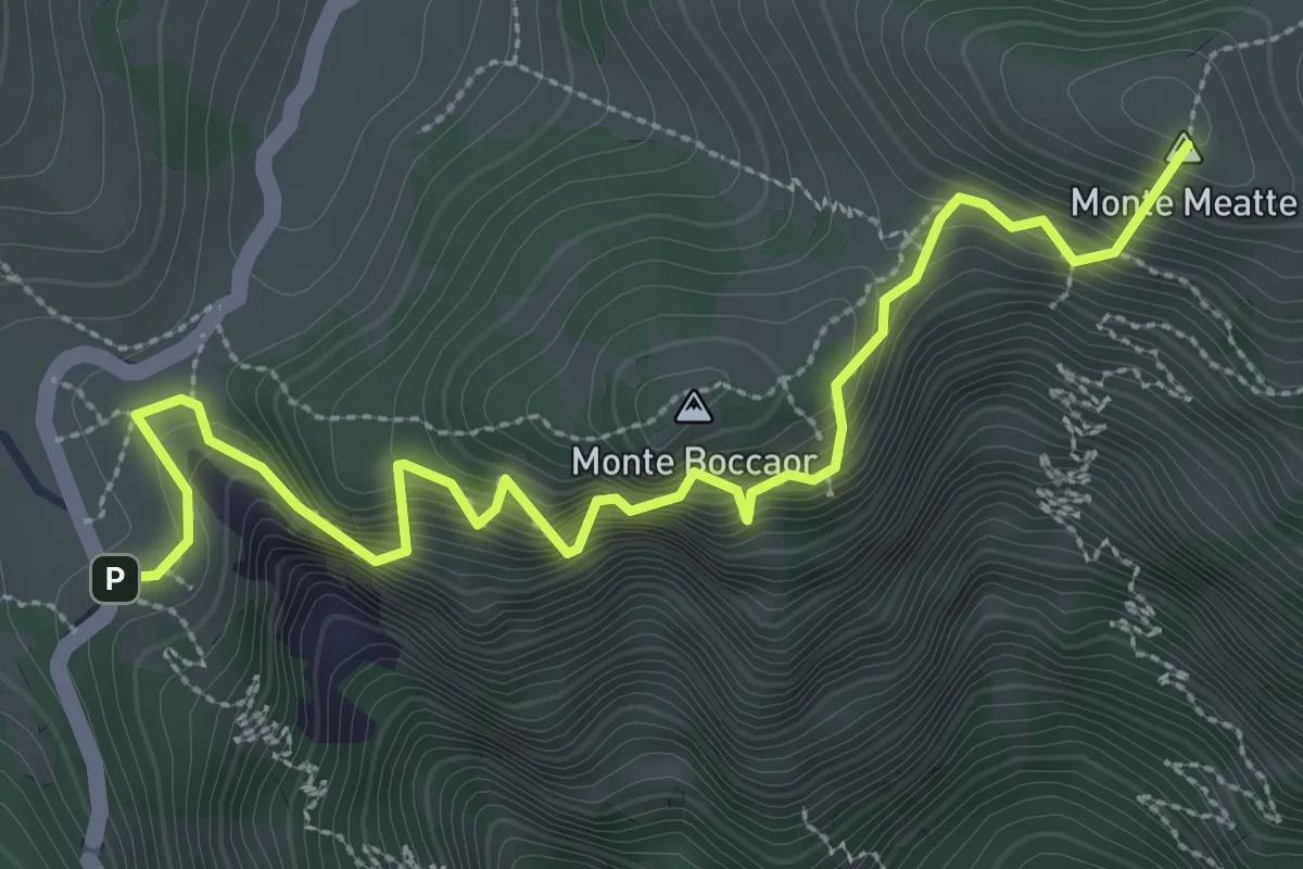
Medium · Summit
Sentiero delle Meatte
3.8 km · ↑ 499 m · 1 h 58 min · 14 km away
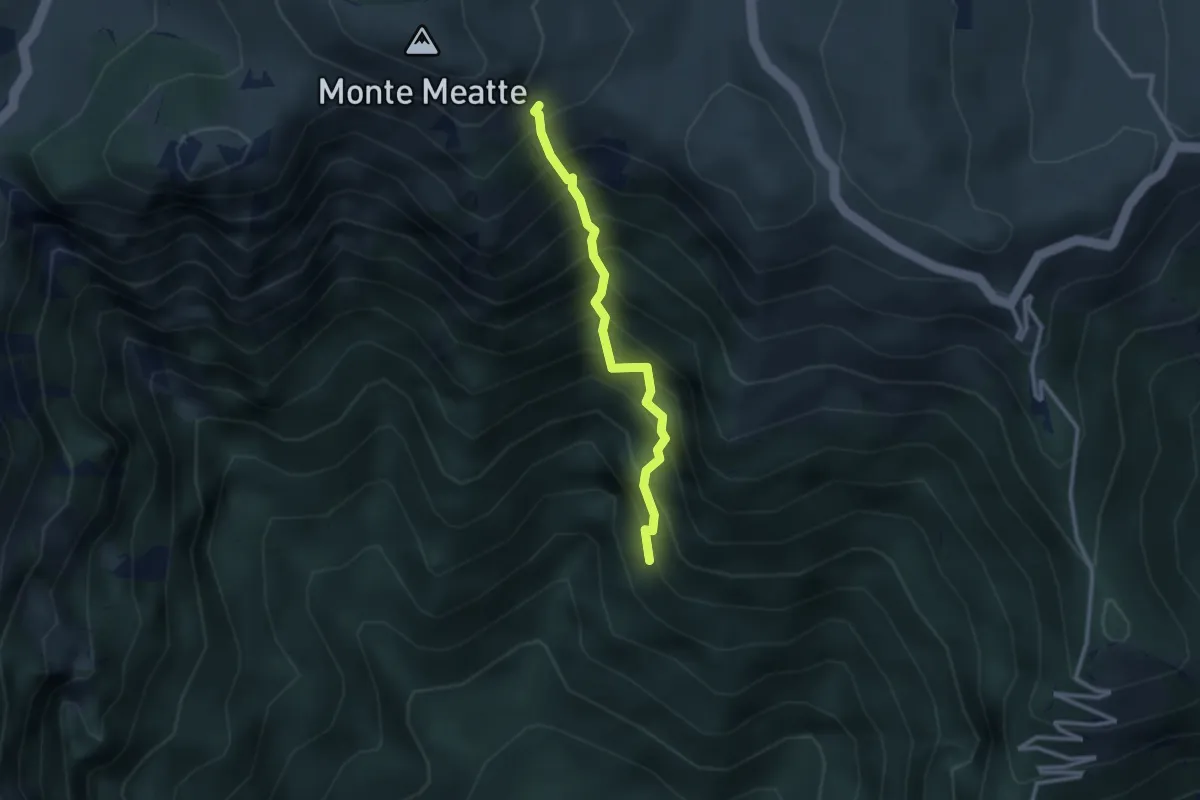
Expert · Trail
Sentiero Col del Gratarol
2.5 km · ↑ 589 m · 1 h 52 min · 14 km away
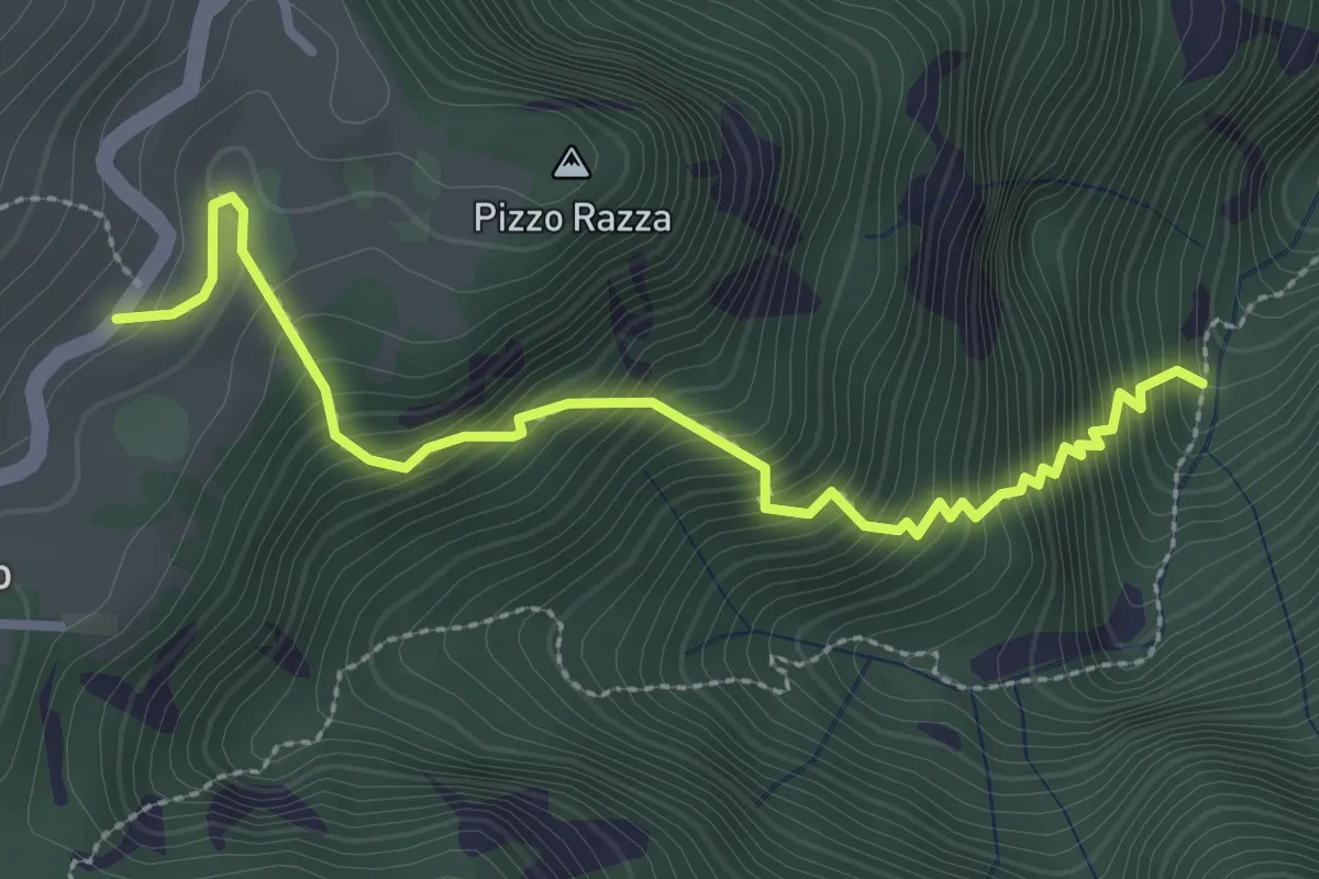
Medium · Trail
Calà del Sasso - Mori di Chiesa di Sasso
3.2 km · ↑ 497 m · 1 h 49 min · 14 km away
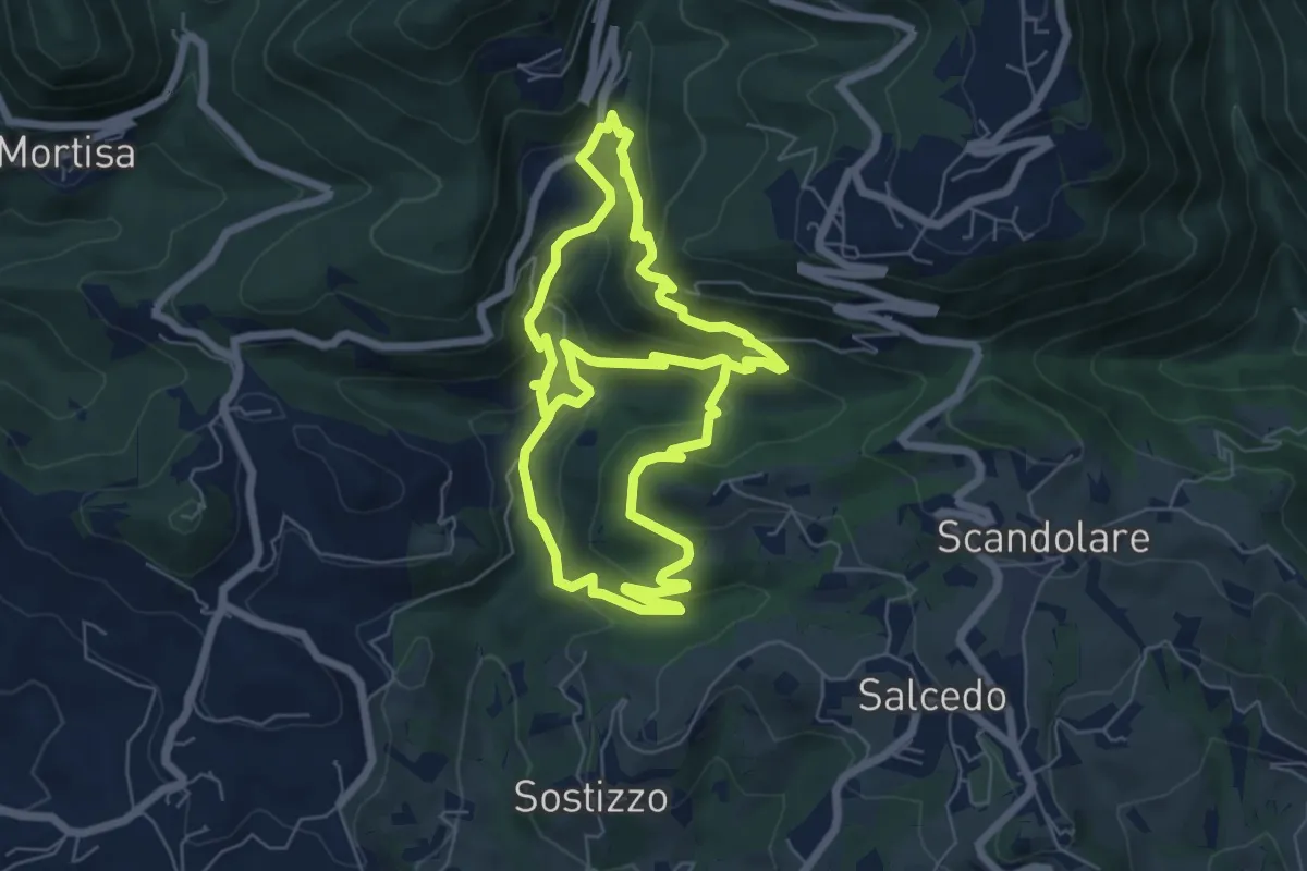
Medium · Trail
Valle dei Mulini
13.0 km · ↑ 738 m · 4 h 41 min · 14 km away
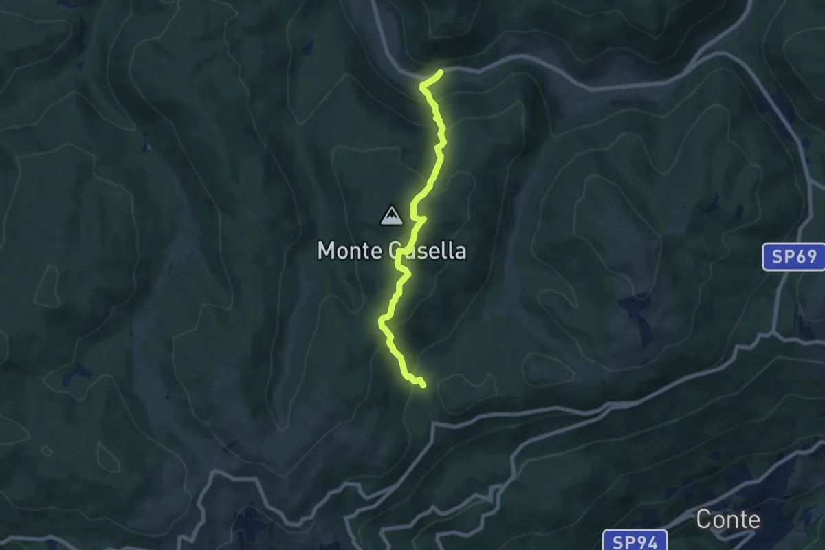
Medium · Trail
Fontanella
6.8 km · ↑ 500 m · 2 h 41 min · 15 km away
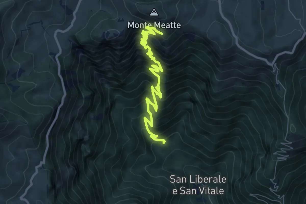
Demanding · Trail
S. Liberale -q.ta 718 - da sent. 151 – Col dea Salina - innesto sentiero 152
8.2 km · ↑ 876 m · 3 h 50 min · 15 km away
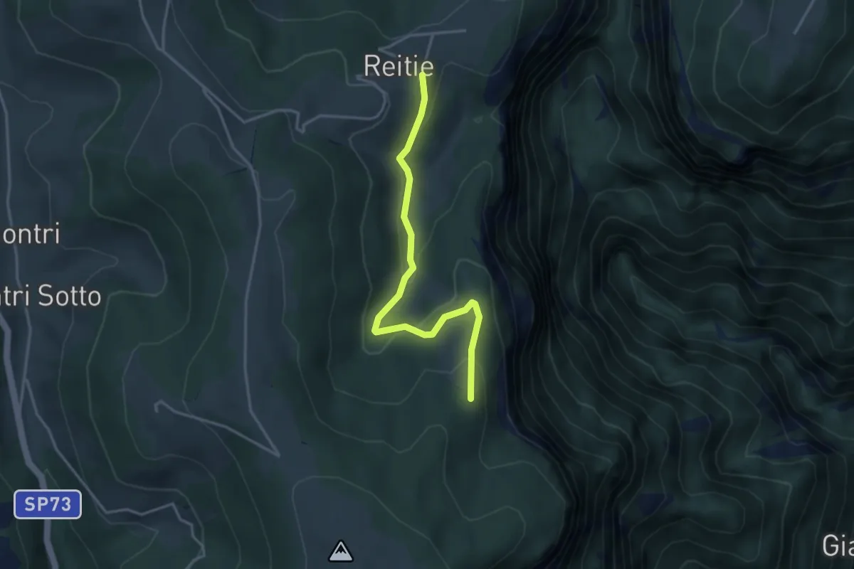
Easy · Trail
Sasso Stefani - Sasso Rosso
3.5 km · ↑ 186 m · 1 h 14 min · 15 km away
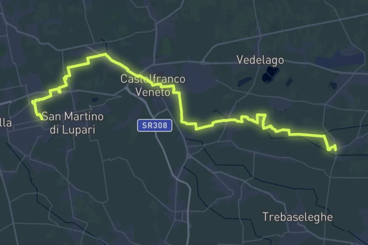
Demanding · Trail
Badoere – San Martino di Lupari
33.1 km · ↑ 16 m · 8 h 19 min · 15 km away