Trails near Bastia Umbra
27 hikes starting within 15 km, nearest first.
Nearest first
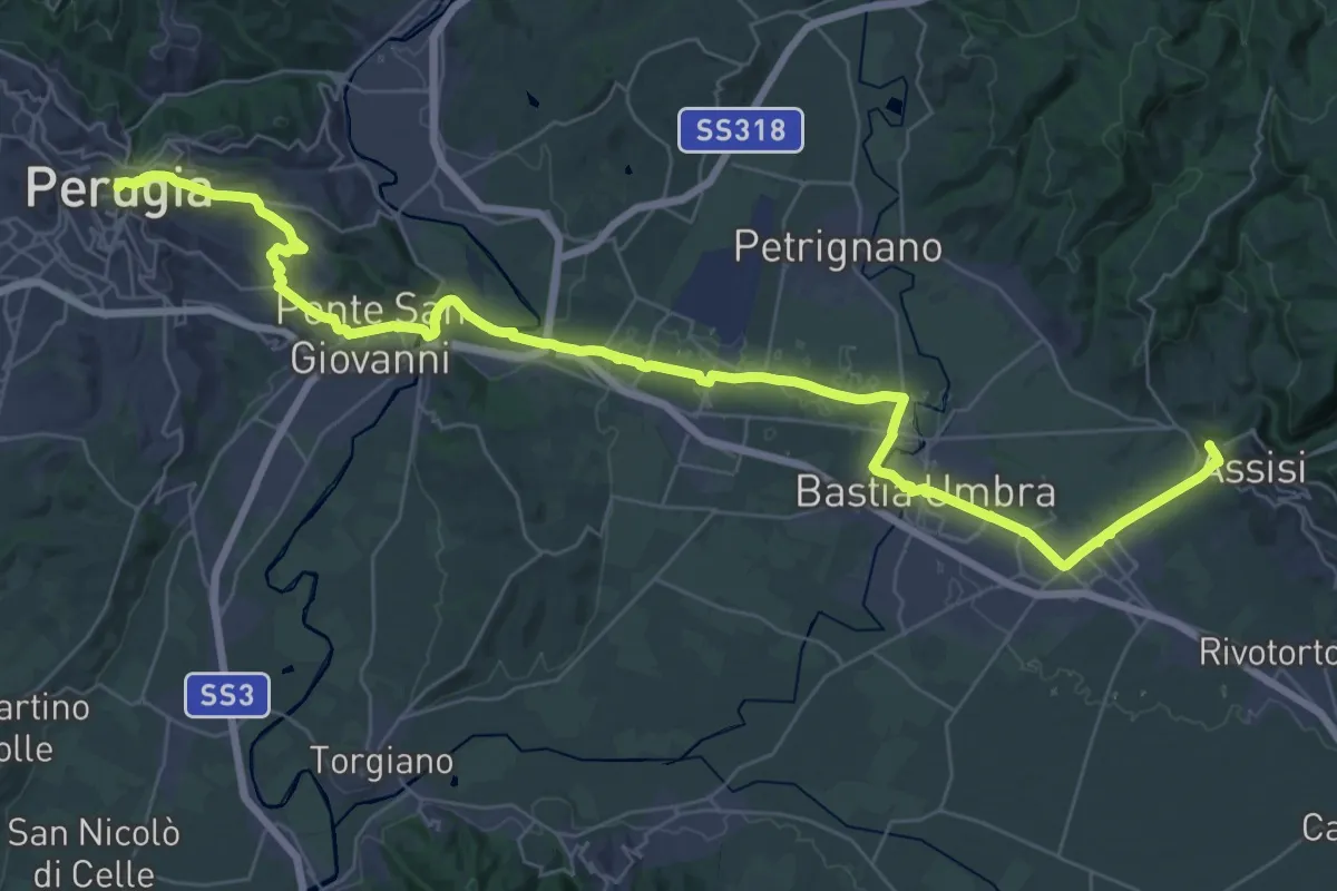
Demanding · Trail
Via di Francesco - Tappa 8B
24.8 km · ↑ 352 m · 6 h 54 min · 5 km away
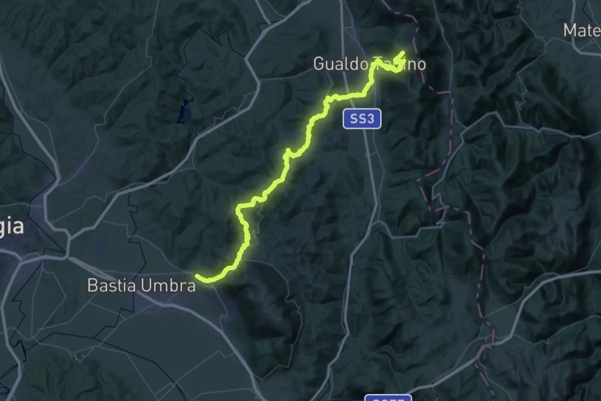
Demanding · Cabin
Sentiero Francescano
37.7 km · ↑ 1841 m · 12 h 56 min · 5 km away
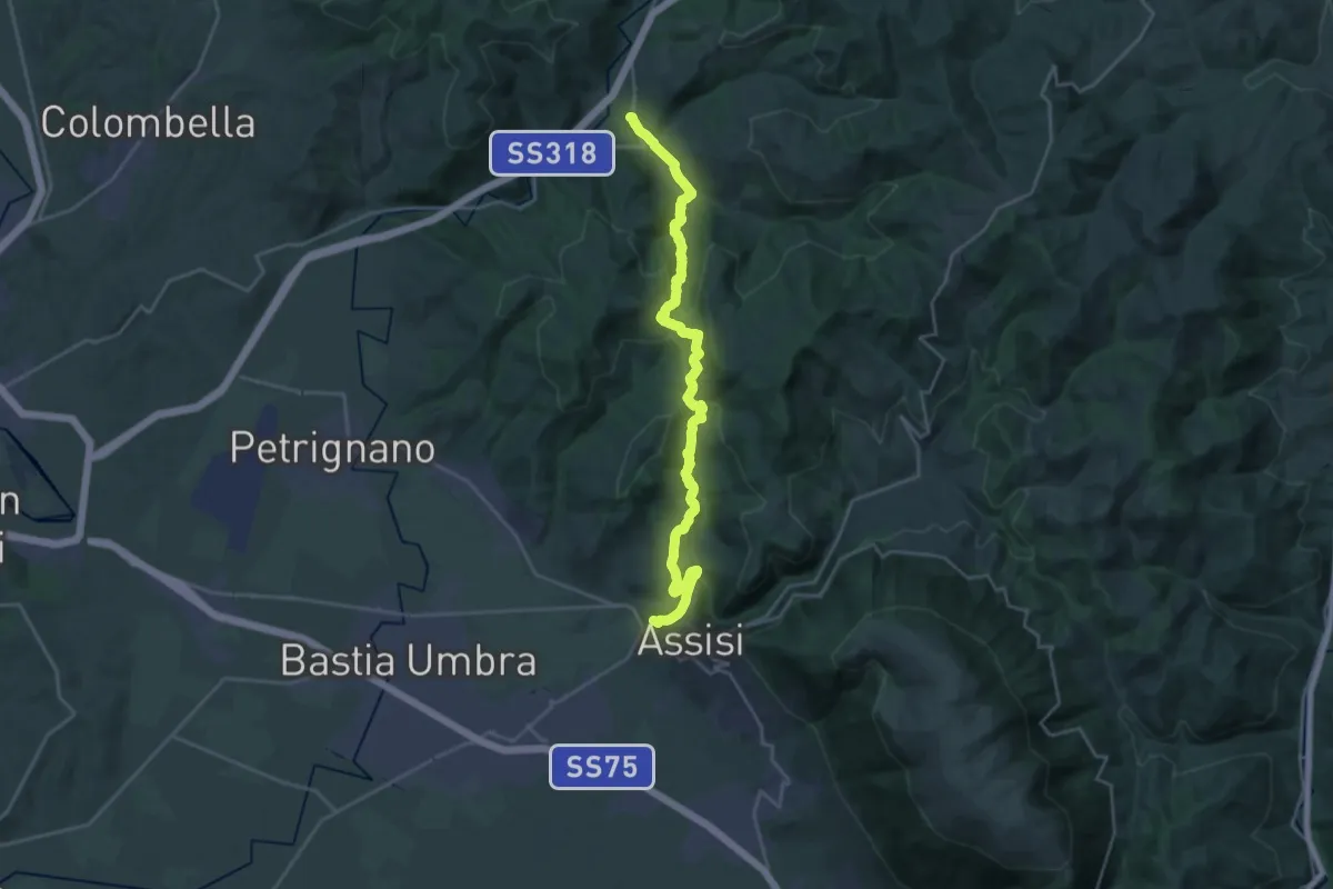
Medium · Trail
Via di Francesco - Tappa 08
13.4 km · ↑ 434 m · 4 h 19 min · 5 km away
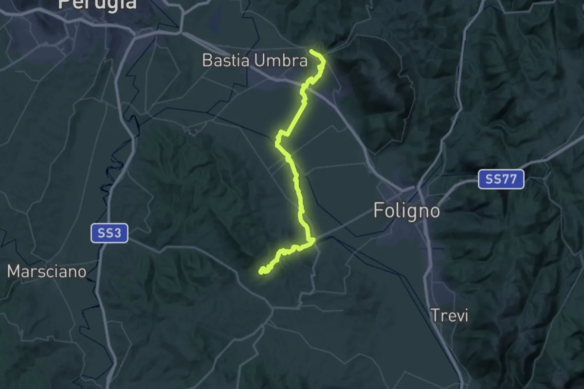
Demanding · Trail
Italia Coast to Coast-Tappa 8
29.7 km · ↑ 462 m · 8 h 24 min · 5 km away
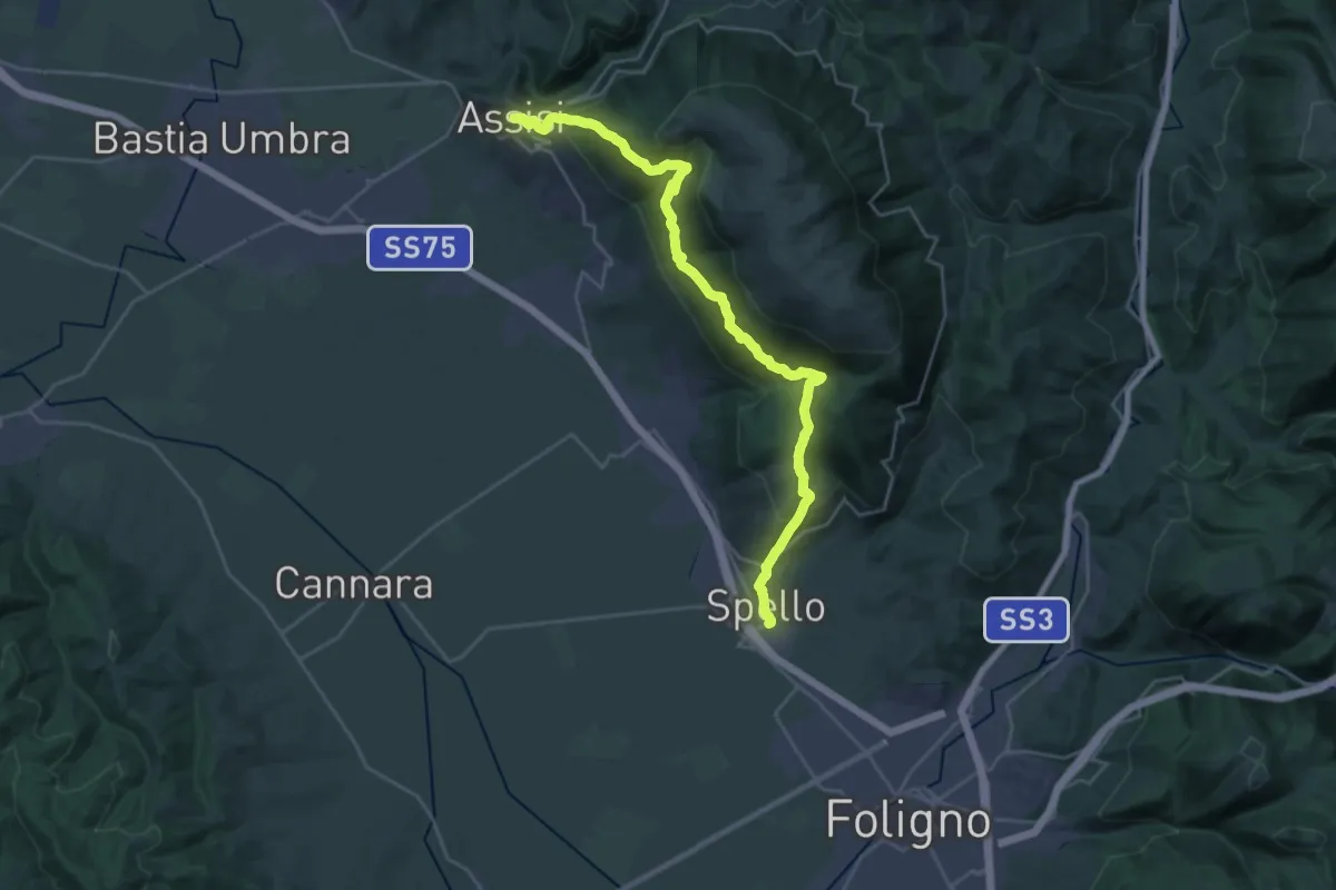
Demanding · Trail
Sentiero degli Ulivi - Tappa 5
15.2 km · ↑ 842 m · 5 h 43 min · 5 km away
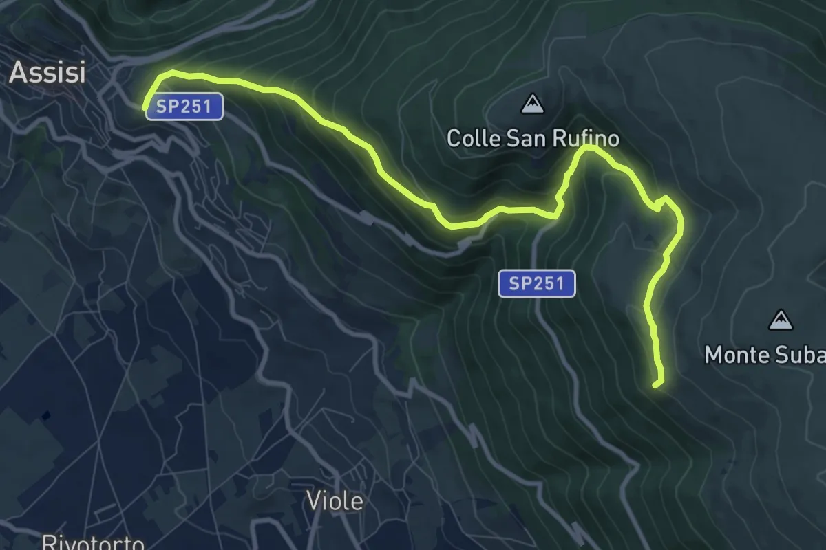
Medium · Summit
Assisi – Spello
11.3 km · ↑ 739 m · 4 h 17 min · 6 km away
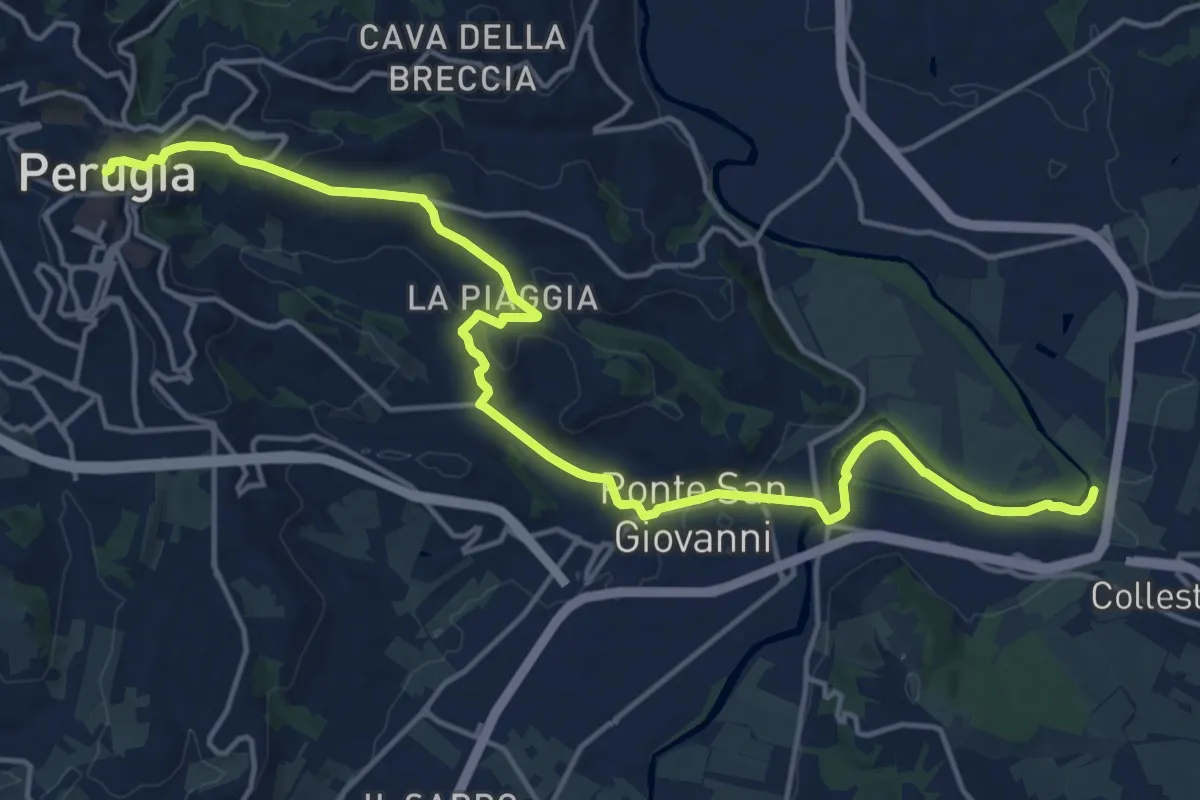
Demanding · Trail
Perugia – Percorso Verde Tevere
20.4 km · ↑ 382 m · 5 h 39 min · 7 km away
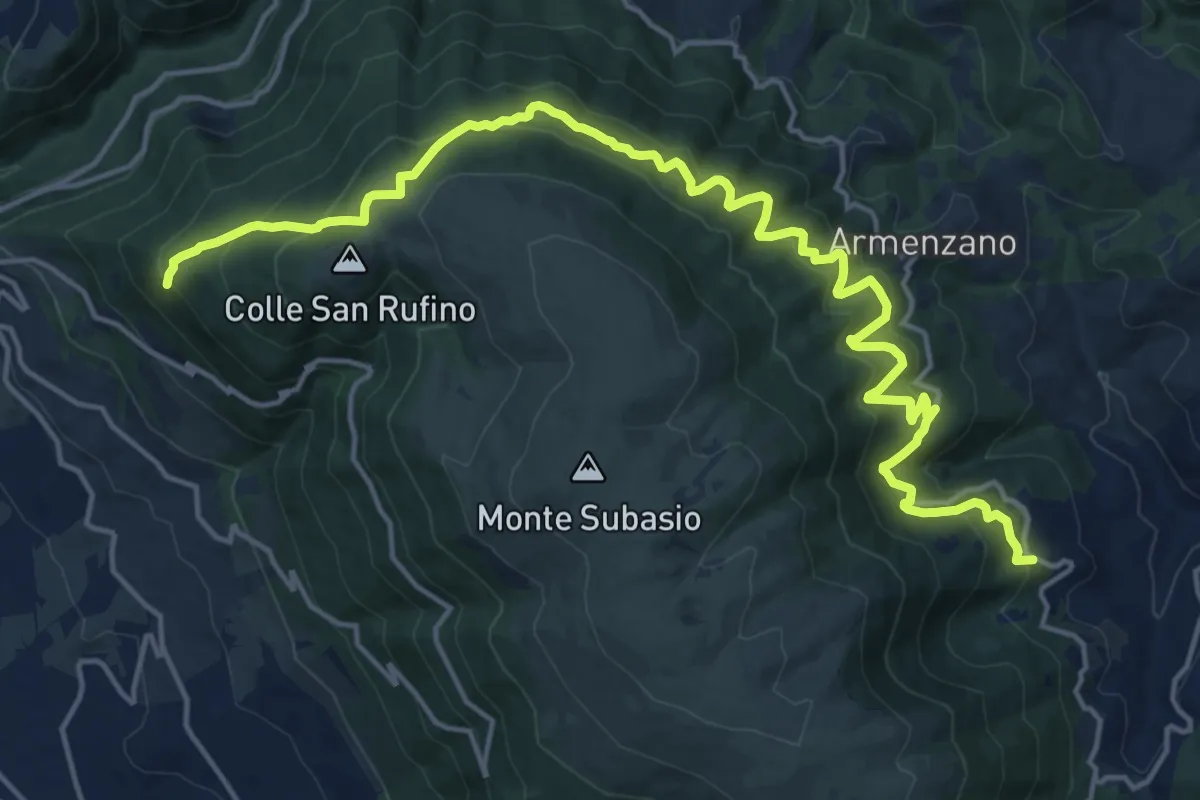
Medium · Trail
Assisi – San Giovanni
10.7 km · ↑ 635 m · 4 h 6 min · 7 km away
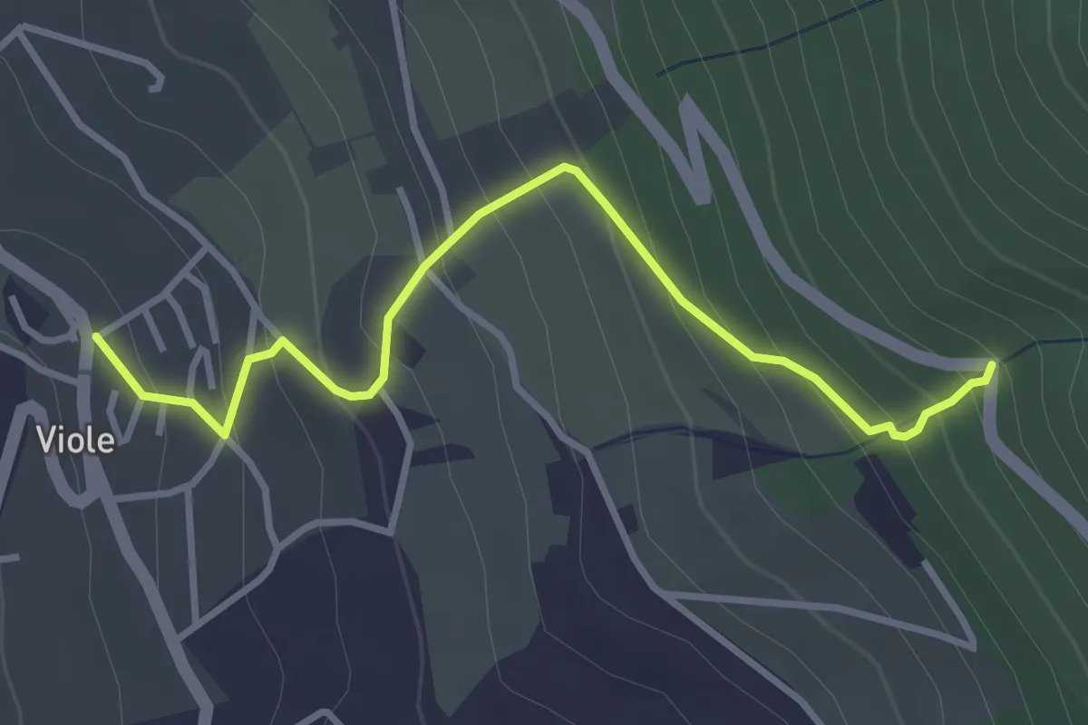
Easy · Trail
Viole – Intersezione percorso 354
3.6 km · ↑ 302 m · 1 h 31 min · 7 km away
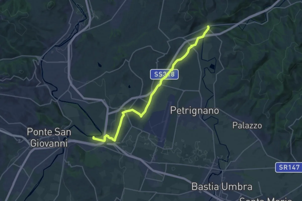
Demanding · Trail
Fiume Tevere Collestrada – Fiume Chiascio Pianello
20.8 km · ↑ 172 m · 5 h 17 min · 8 km away
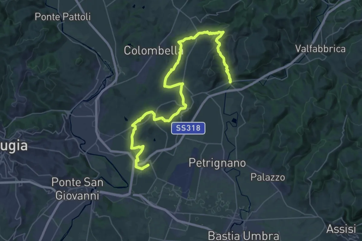
Demanding · Trail
Sentiero d'Arna
19.5 km · ↑ 521 m · 6 h · 8 km away
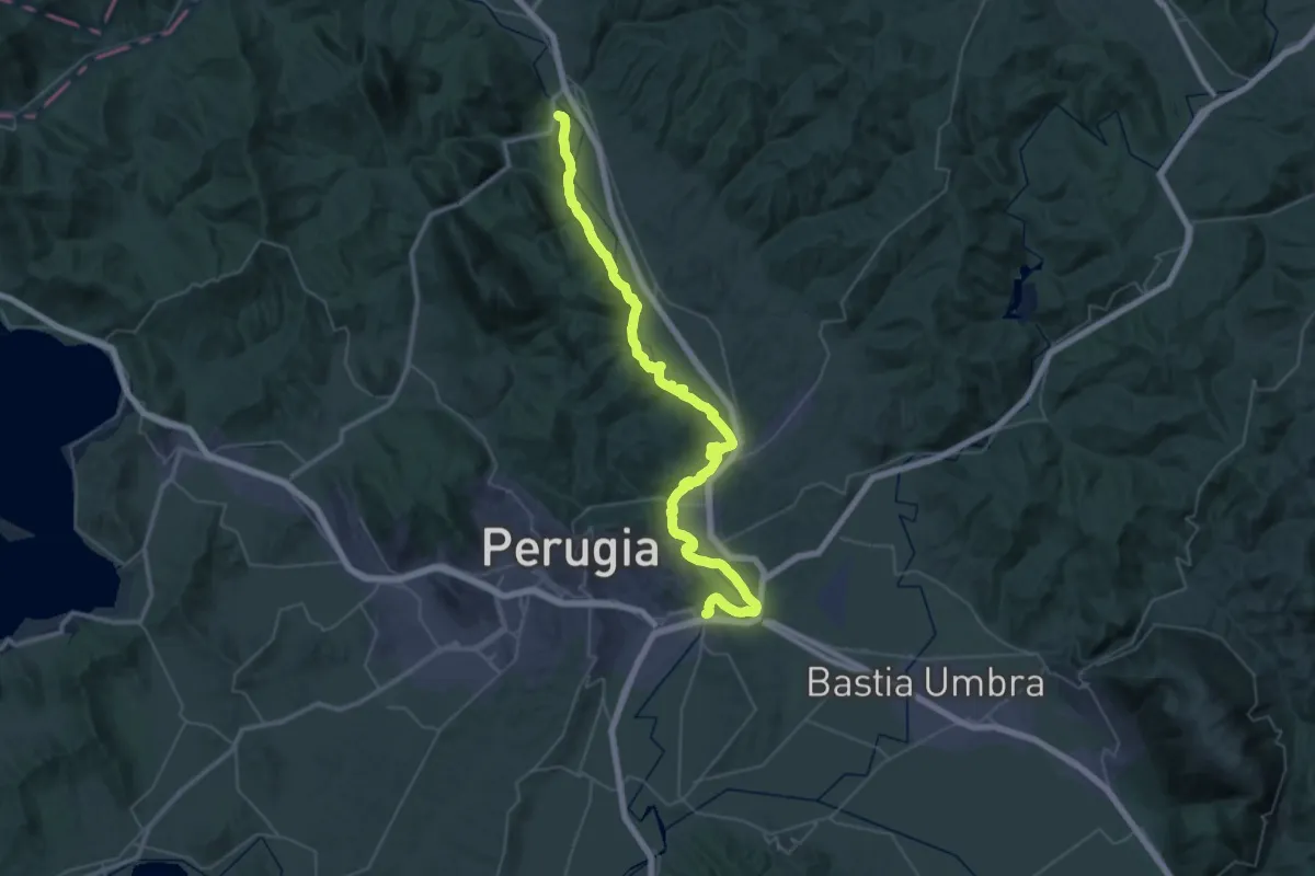
Demanding · Trail
Ascagnano – Lungo Tevere Ponte San Giovanni
29.6 km · ↑ 247 m · 7 h 54 min · 8 km away
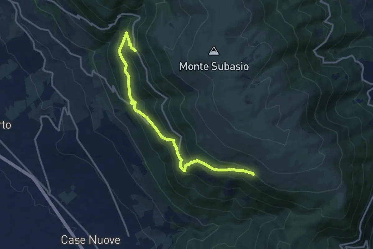
Medium · Cabin
Fonte Bregno – Intersezione percorso 319
10.7 km · ↑ 677 m · 3 h 59 min · 8 km away
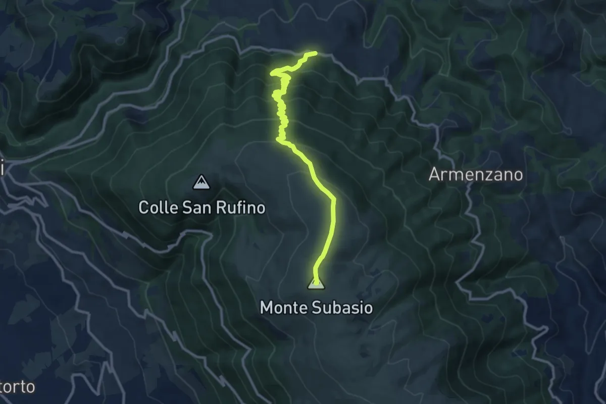
Medium · Summit
Costa di Trex – Monte Subasio
10.9 km · ↑ 685 m · 4 h 3 min · 10 km away
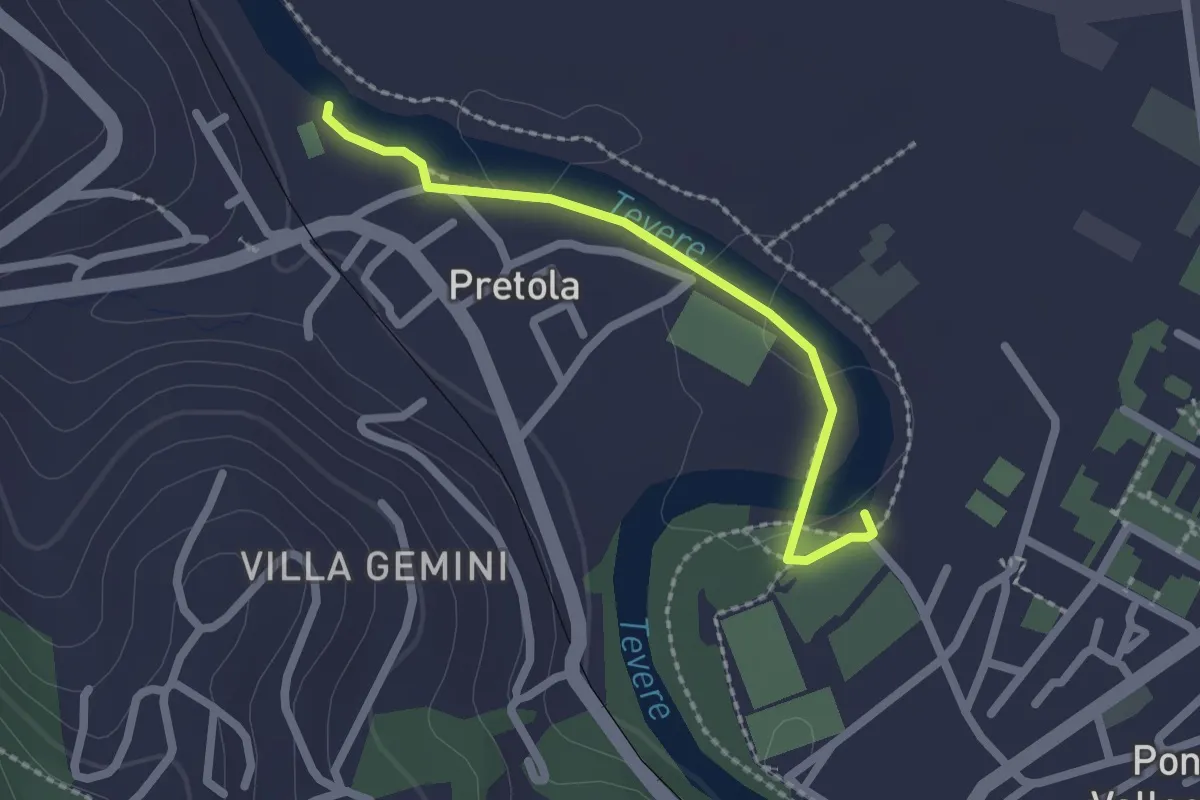
Easy · Trail
Sentiero raccoglitori di legna
2.1 km · ↑ 4 m · 30 min · 11 km away
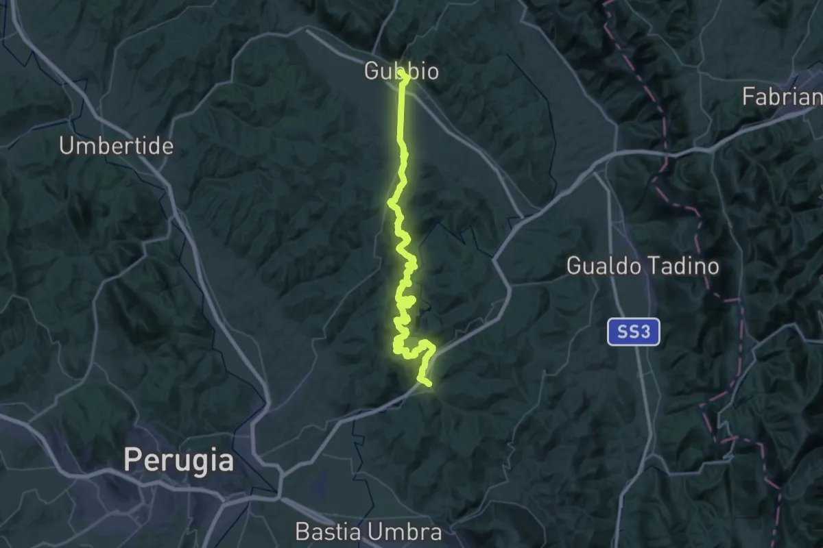
Demanding · Trail
Via di Francesco - Tappa 7
37.6 km · ↑ 1350 m · 12 h 14 min · 11 km away
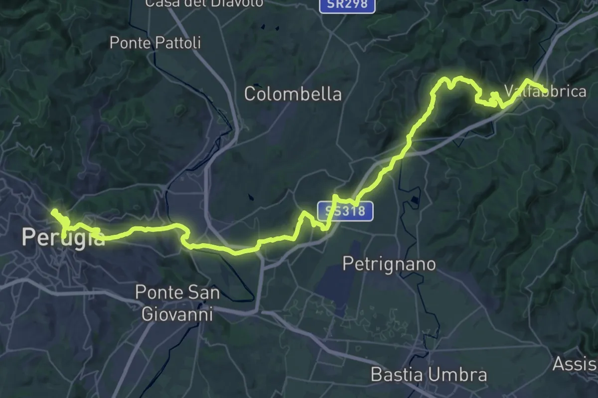
Demanding · Trail
Via di Francesco - Tappa 10A
29.1 km · ↑ 871 m · 9 h 5 min · 11 km away
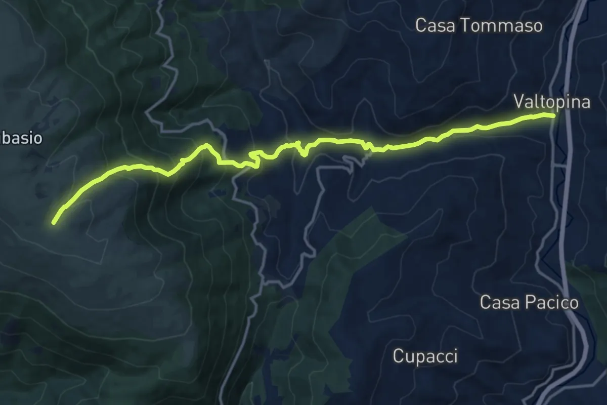
Demanding · Trail
Valtopina – Intersezione percorso 350
14.8 km · ↑ 952 m · 5 h 33 min · 11 km away
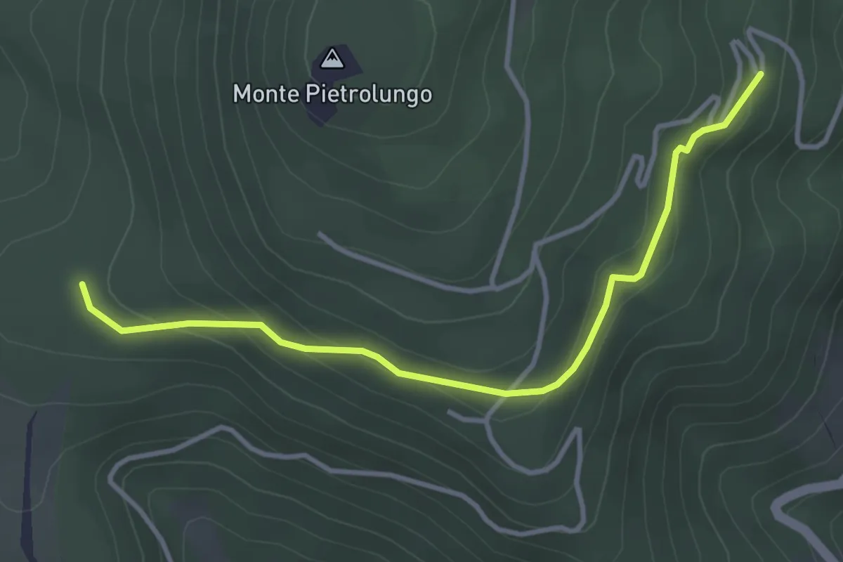
Easy · Trail
San Silvestro – Intersezione percorso 350
3.8 km · ↑ 156 m · 1 h 14 min · 12 km away
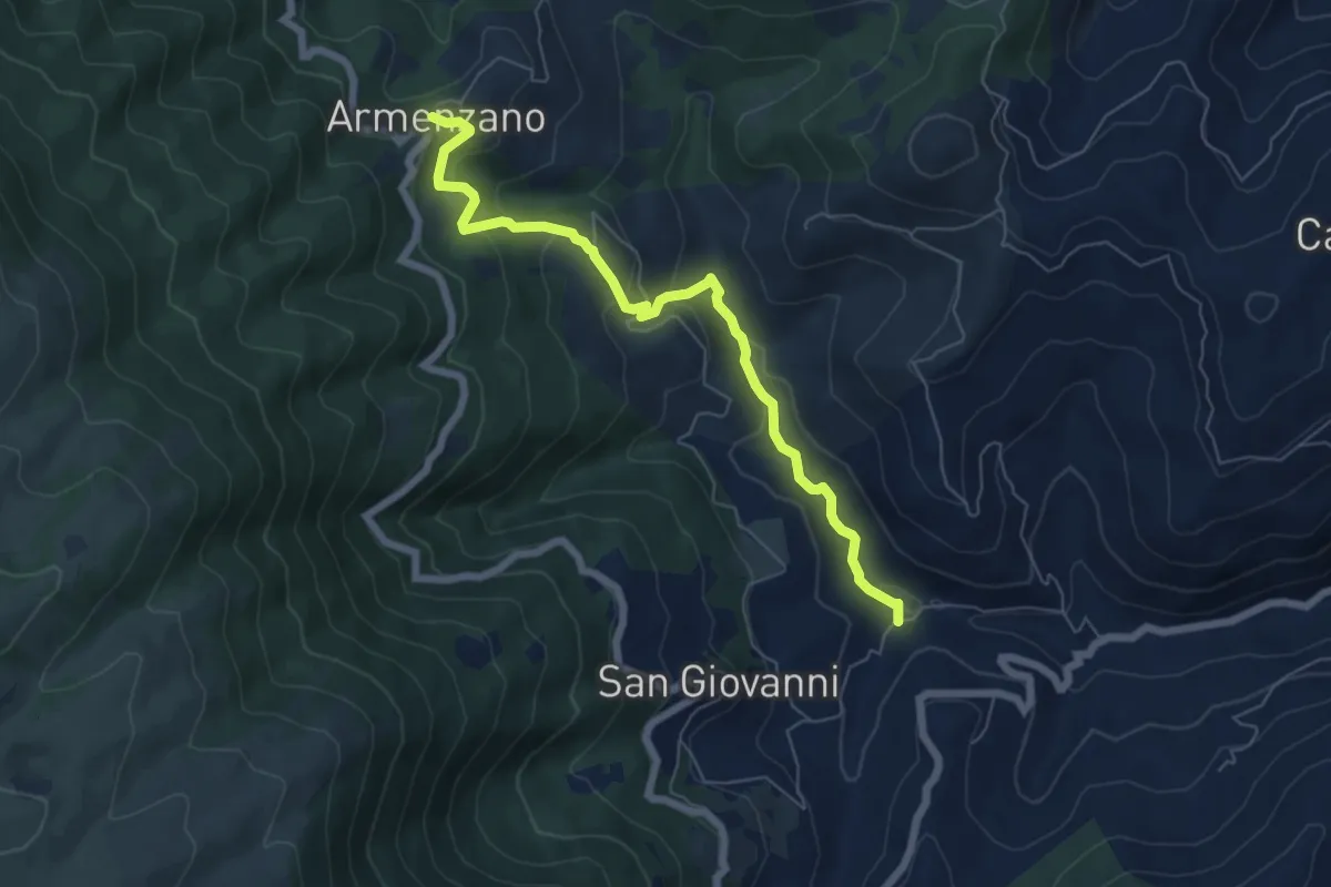
Medium · Trail
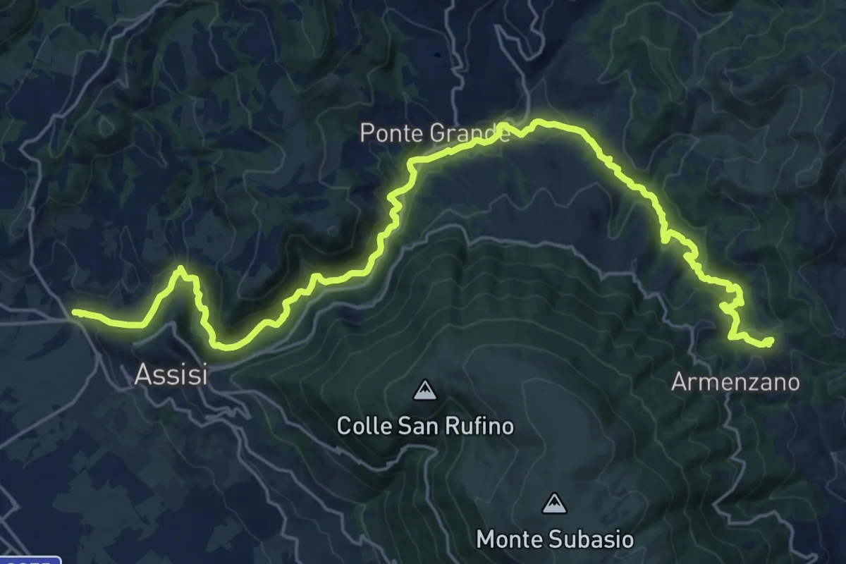
Intersezione percorso 357 – Armenzano
7.0 km · ↑ 332 m · 2 h 22 min · 12 km away
Medium · Trail
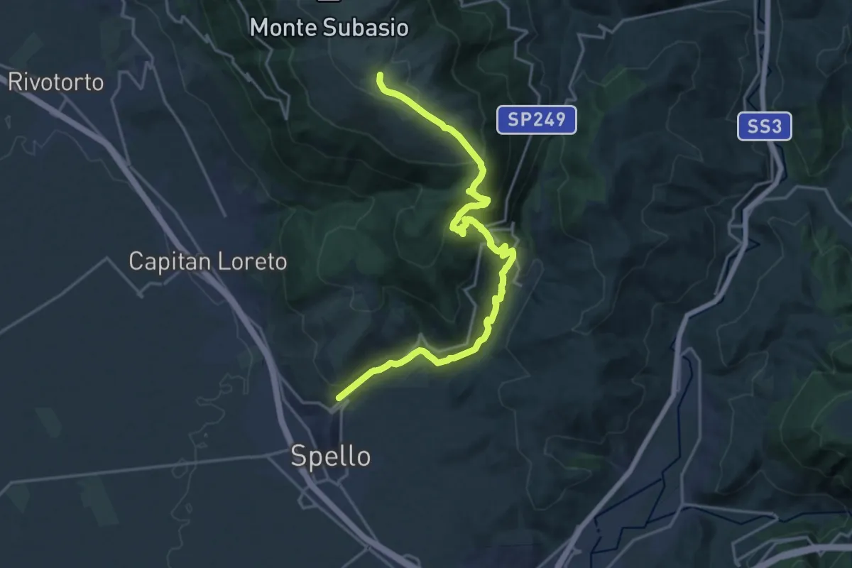
Ponte San Vittorino – Intersezione percorso 355
14.6 km · ↑ 257 m · 4 h 24 min · 13 km away
Demanding · Trail
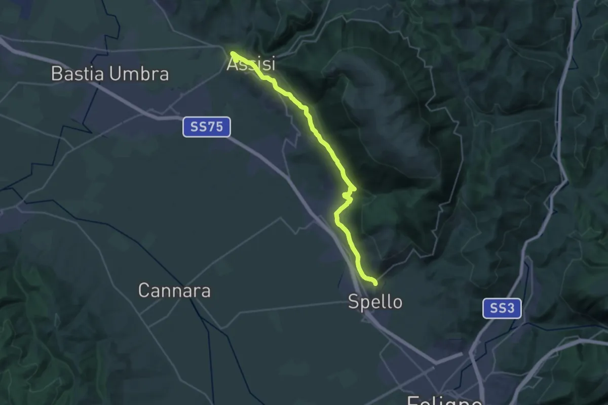
Spello – Intersezione percorso 350
20.4 km · ↑ 1090 m · 7 h 11 min · 13 km away
Medium · Pilgrim path
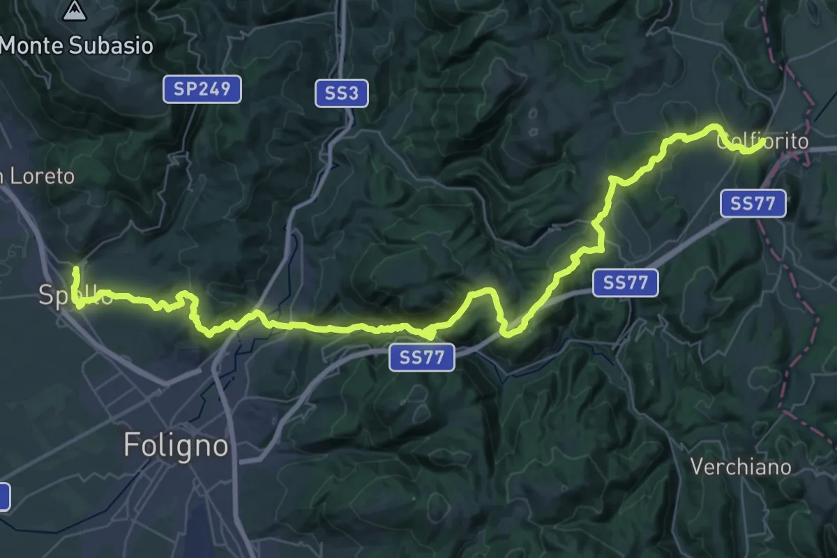
Via Lauretana - Stage 01
12.5 km · ↑ 333 m · 3 h 50 min · 13 km away
Demanding · Pilgrim path
Via Lauretana - Stage 02
28.4 km · ↑ 1035 m · 9 h 6 min · 13 km away
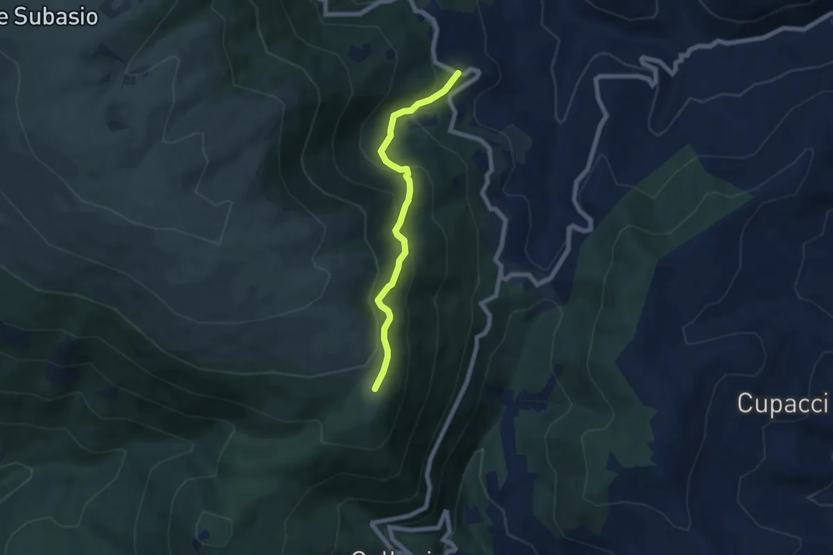
Medium · Cabin
Intersezione percorso 357 – Madonna della Spella
5.5 km · ↑ 386 m · 2 h 8 min · 13 km away
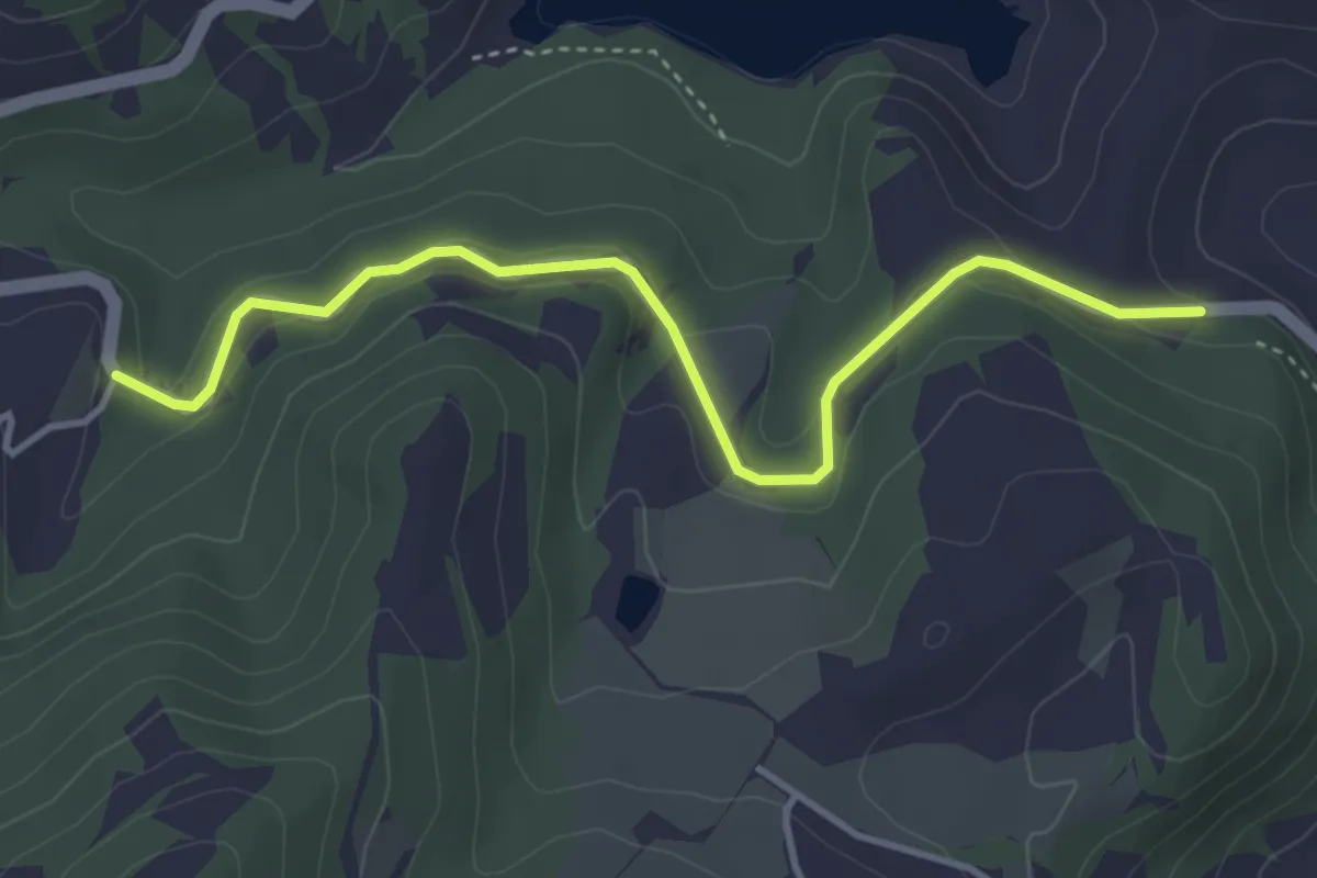
Easy · Trail
Via di Francesco - Tappa 9 variante asfalto Eremo di San Pietro in Vigneto-Valfabbrica
4.2 km · ↑ 111 m · 1 h 14 min · 14 km away
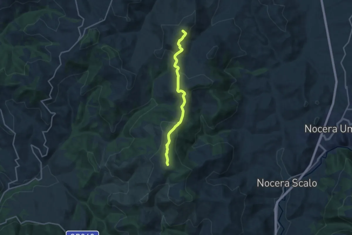
Medium · Summit
Passo il Termine – Lanciano
10.8 km · ↑ 318 m · 3 h 14 min · 14 km away