Trails near Besana in Brianza
103 hikes starting within 15 km, nearest first.
Nearest first, page 2 of 3
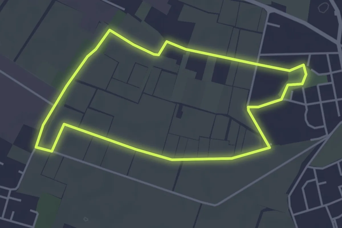
Easy · Trail
Il giro della Cavallera
3.8 km · ↑ 4 m · 58 min · 10 km away
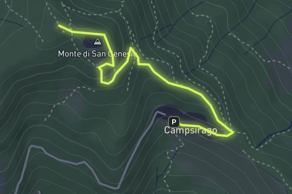
Medium · Summit
Il Sentiero di Giano
3.4 km · ↑ 182 m · 1 h 11 min · 10 km away
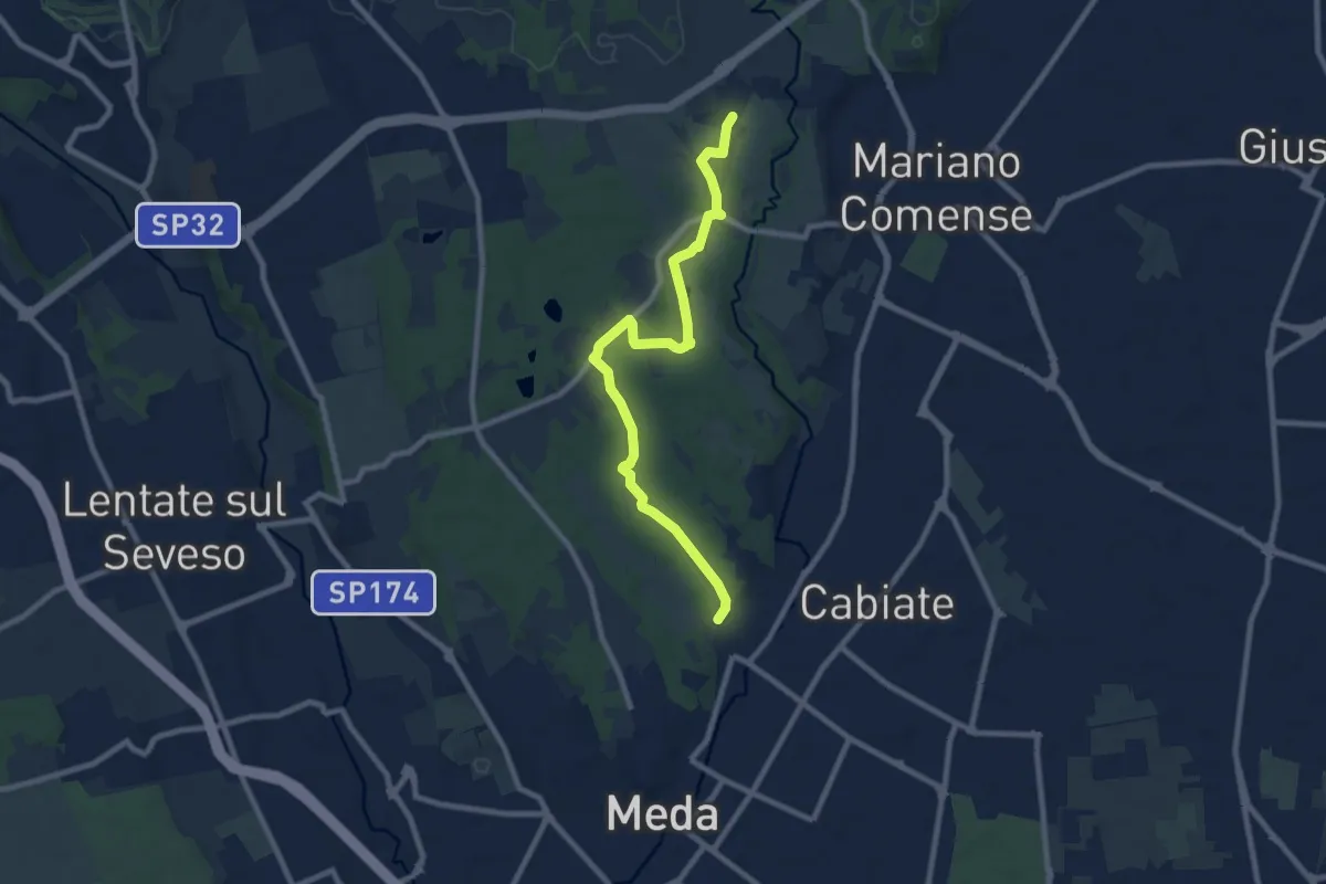
Medium · Trail
Meda (Pian delle Monache) – Cascina Castel Marino
9.2 km · ↑ 59 m · 2 h 18 min · 10 km away
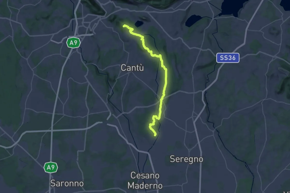
Demanding · Summit
Sentiero ME-MO Storico
36.3 km · ↑ 471 m · 9 h 35 min · 11 km away
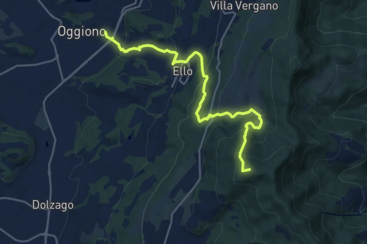
Medium · Summit
Oggiono – Monte Crocione
11.5 km · ↑ 618 m · 4 h 3 min · 11 km away
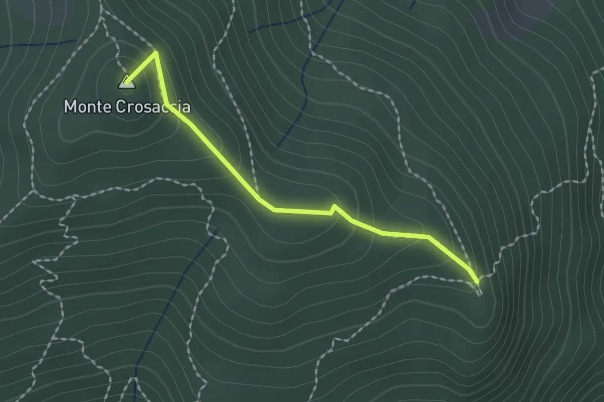
Easy · Summit
Crosaccia – Campsirago
1.7 km · ↑ 100 m · 37 min · 11 km away
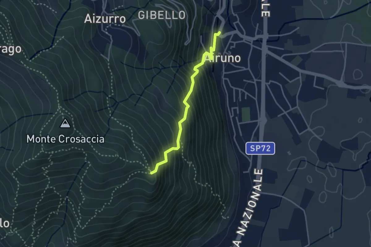
Medium · Trail
Airuno (FS) – Crosaccia
2.9 km · ↑ 356 m · 1 h 27 min · 11 km away
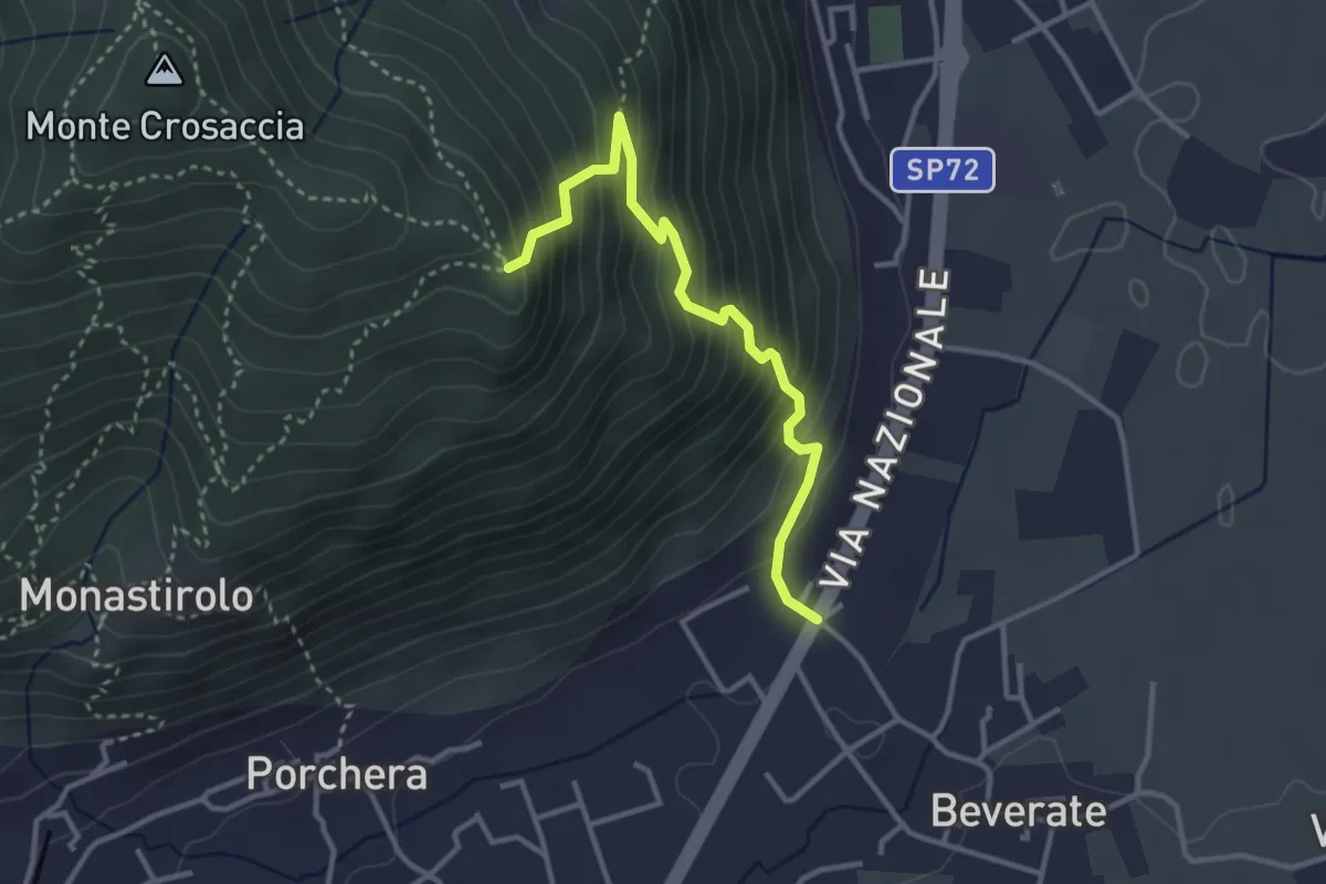
Medium · Trail
Beverate – Crosaccia
3.3 km · ↑ 384 m · 1 h 37 min · 11 km away
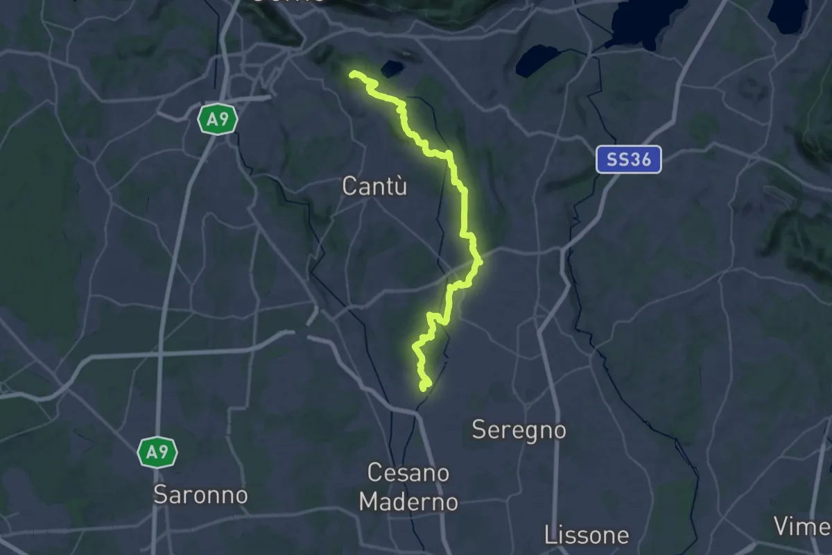
Demanding · Summit
Sentiero ME-MO
42.1 km · ↑ 520 m · 11 h 4 min · 11 km away
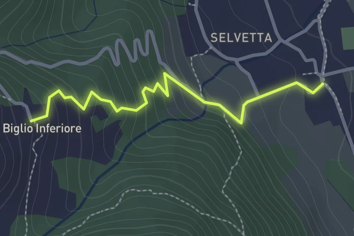
Easy · Trail
Valgreghentino – Biglio Inferiore
2.3 km · ↑ 184 m · 57 min · 11 km away
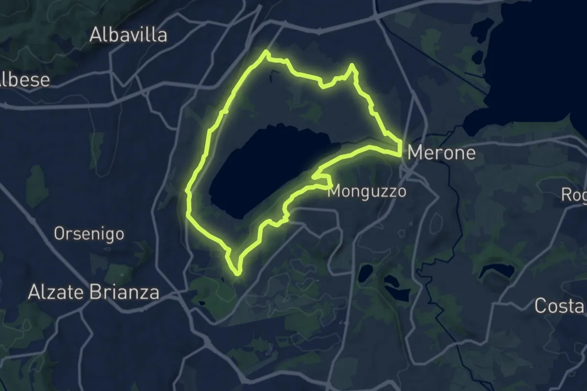
Medium · Trail
Attorno al lago di Alserio
11.3 km · ↑ 162 m · 3 h 11 min · 11 km away
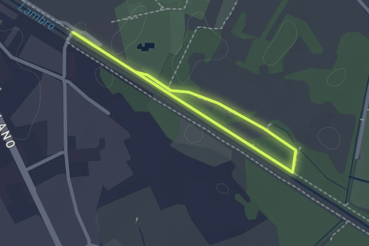
Easy · Trail
Percorso minore
1.3 km · ↑ 0 m · 20 min · 12 km away
Easy · Trail
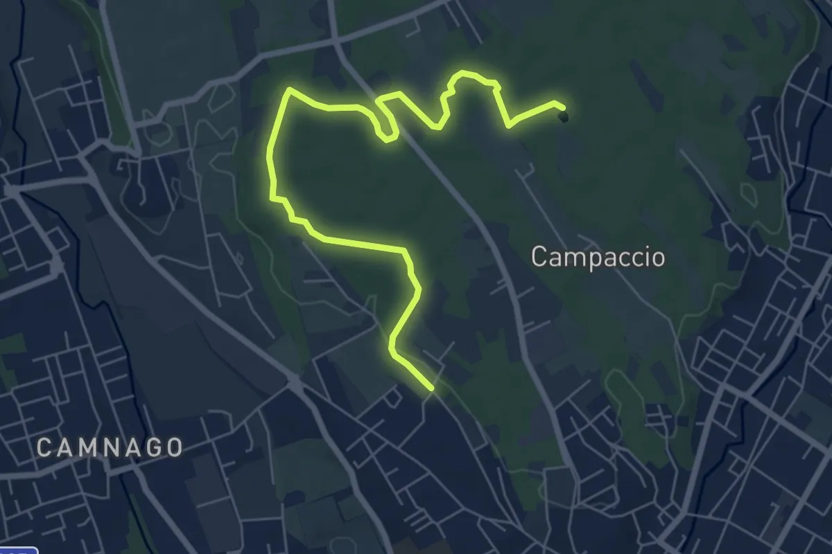
Cascina Colombera – Zoca dei Pirutit
7.2 km · ↑ 31 m · 1 h 46 min · 12 km away
Easy · Trail
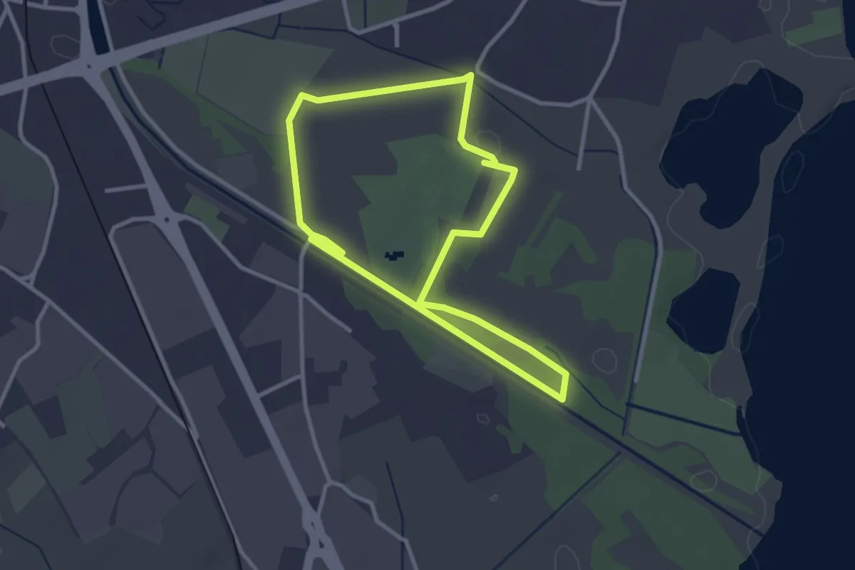
Percorso maggiore
2.8 km · ↑ 9 m · 44 min · 12 km away
Easy · Trail
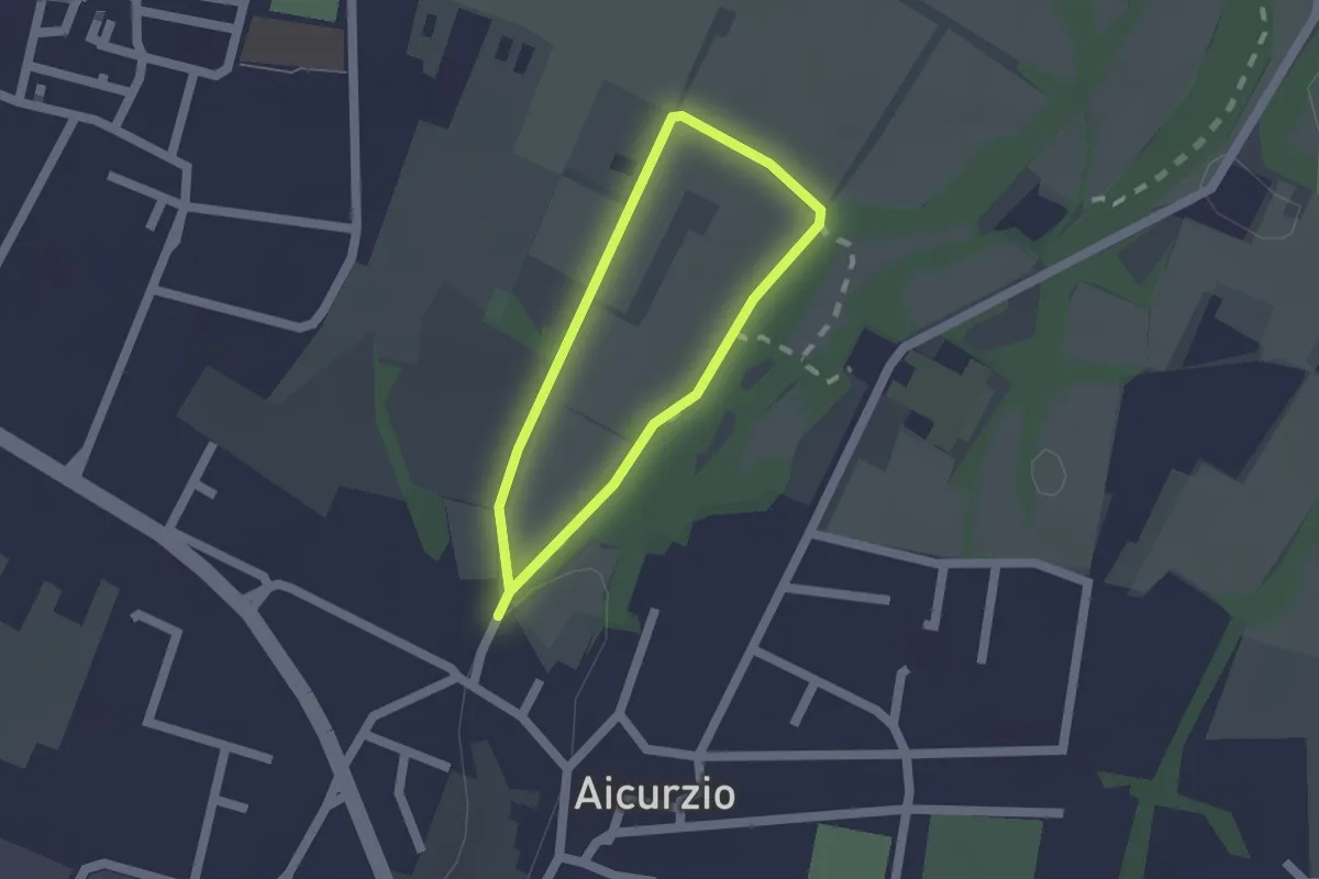
Percorso n° 8
1.2 km · ↑ 4 m · 19 min · 12 km away
Demanding · Trail
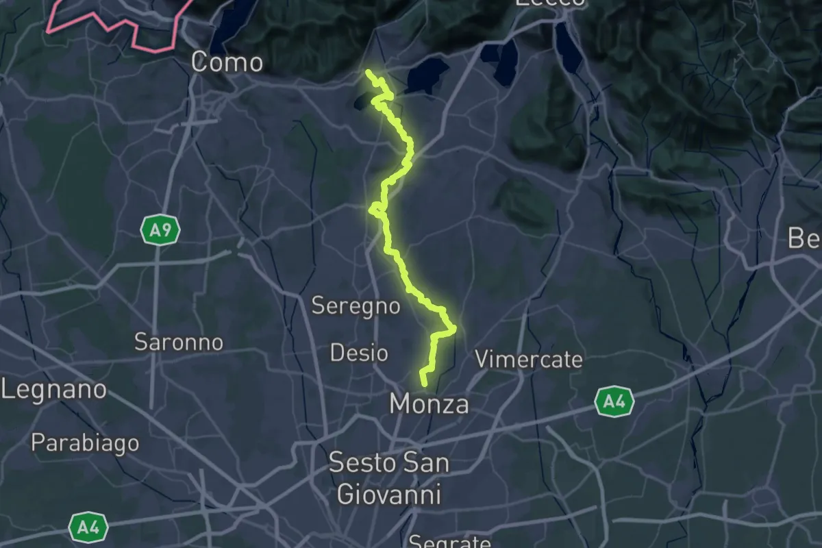
Ciclovia Monza - Erba
38.1 km · ↑ 458 m · 10 h 28 min · 12 km away
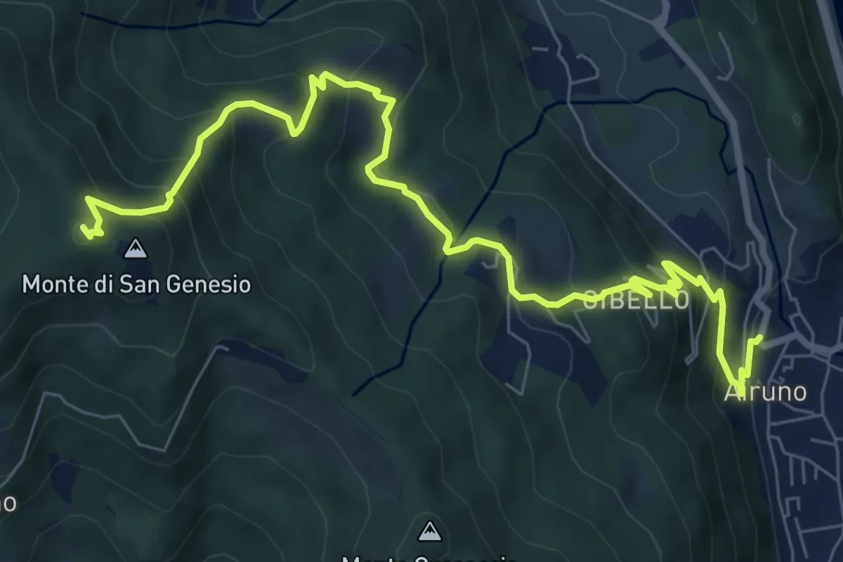
Medium · Summit
Airuno (FS) – Monte di San Genesio
9.2 km · ↑ 619 m · 3 h 31 min · 12 km away
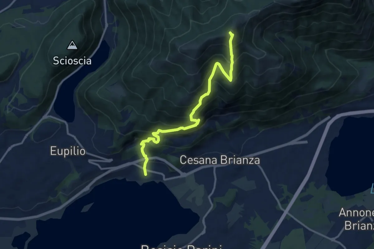
Demanding · Summit
Pusiano – Monte Cornizzolo
9.6 km · ↑ 1053 m · 4 h 32 min · 12 km away
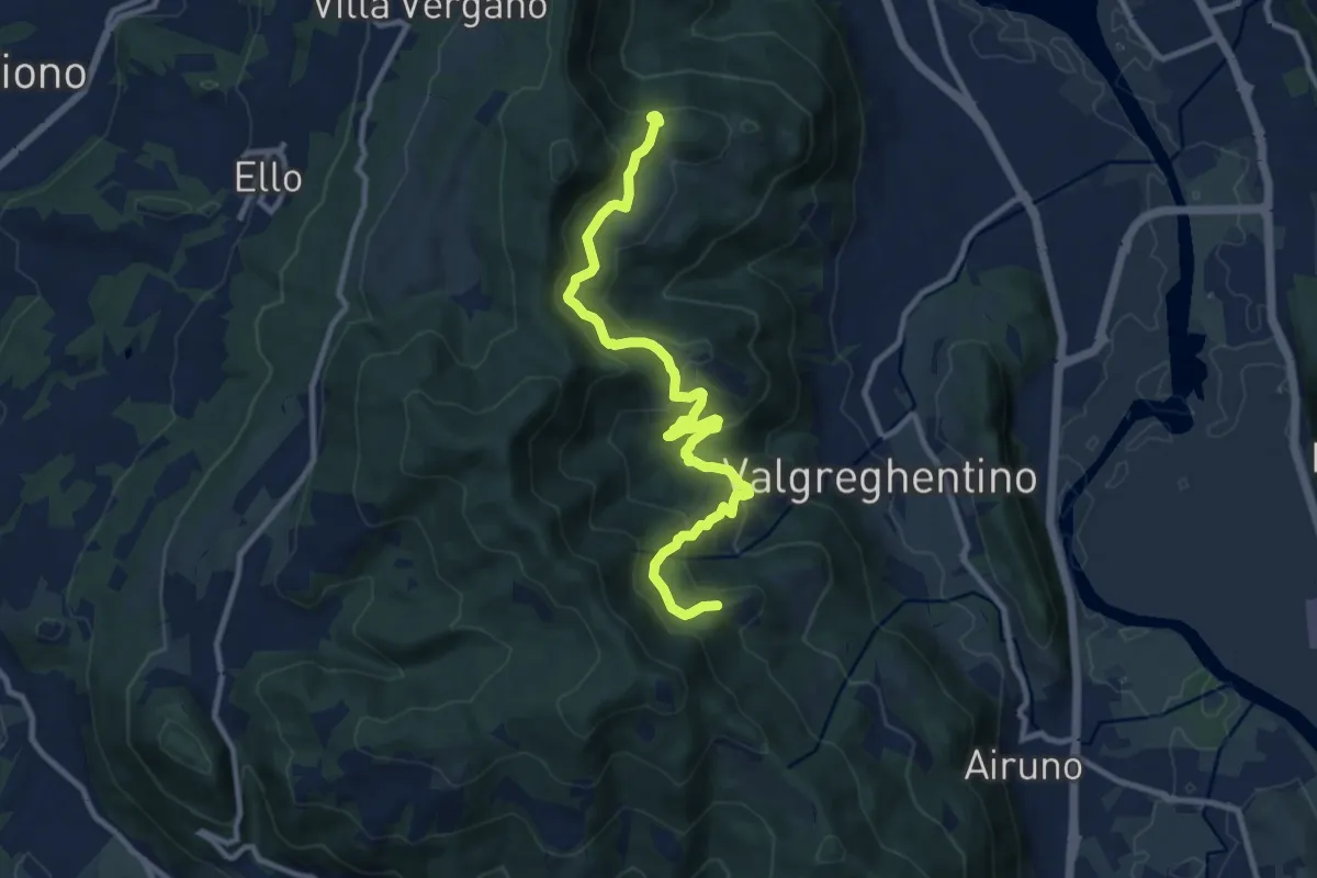
Medium · Trail
Campiano – Consonno
11.0 km · ↑ 534 m · 3 h 45 min · 13 km away
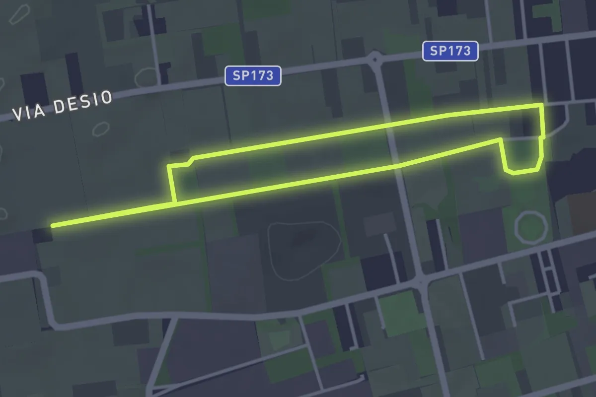
Easy · Trail
Bertacciola
3.4 km · ↑ 9 m · 52 min · 13 km away
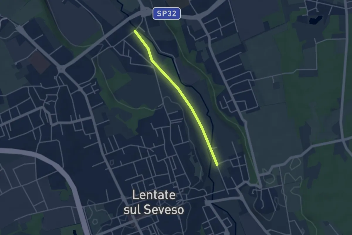
Easy · Trail
Lentate sul Seveso – Carimate
3.1 km · ↑ 9 m · 45 min · 13 km away
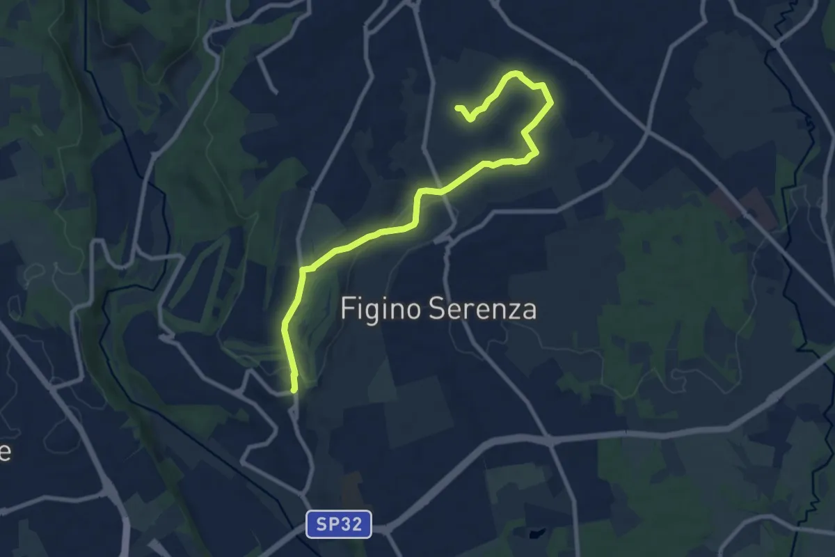
Medium · Trail
Carimate – Cascina Moia
9.3 km · ↑ 103 m · 2 h 25 min · 14 km away
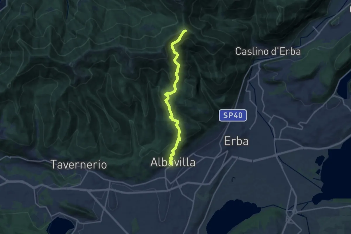
Medium · Cabin
Albavilla – RIfugio Capanna Mara
12.2 km · ↑ 779 m · 4 h 34 min · 14 km away
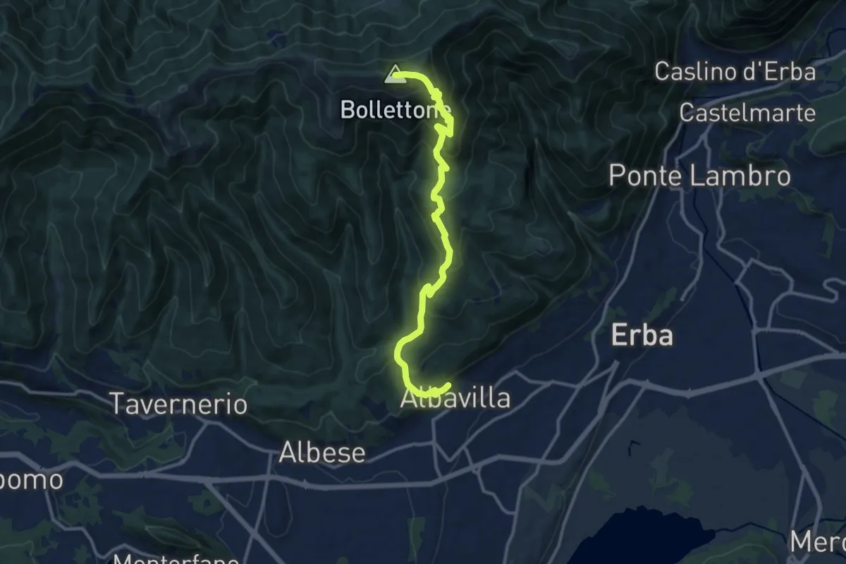
Demanding · Summit
Albavilla – Monte Bolettone
12.1 km · ↑ 820 m · 4 h 38 min · 14 km away
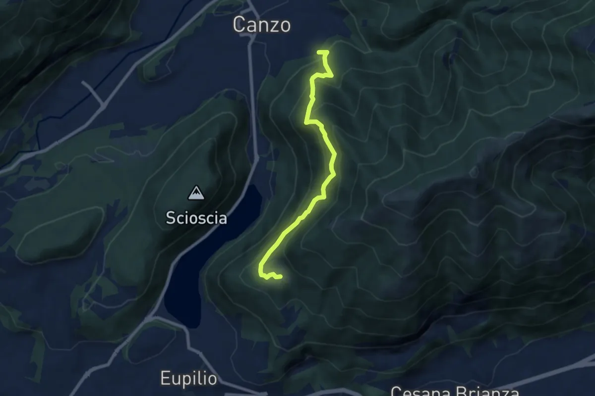
Medium · Trail
Rifugio SEC "Marisa Consigliere" – Alpe di Carella
6.6 km · ↑ 618 m · 2 h 54 min · 14 km away
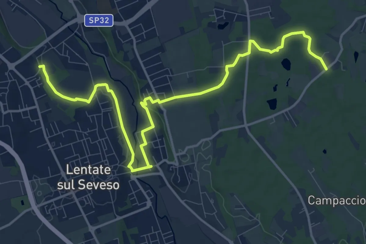
Medium · Trail
Copreno – Boscaccio
13.4 km · ↑ 150 m · 3 h 29 min · 14 km away
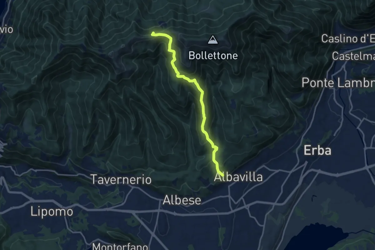
Medium · Trail
Sentiero 18: Albavilla (Via ai Monti) - Baita Patrizi - Bocchetta di Molina
10.9 km · ↑ 640 m · 3 h 58 min · 14 km away
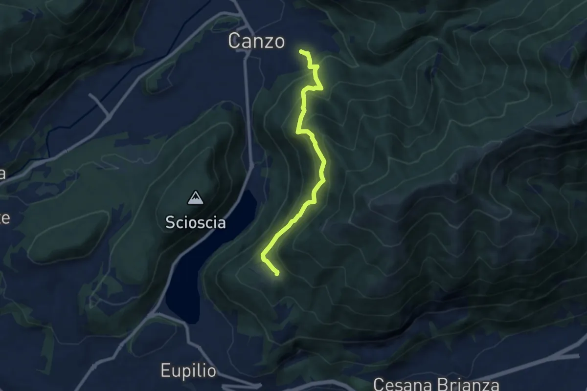
Medium · Trail
Senterun
6.7 km · ↑ 648 m · 2 h 59 min · 14 km away
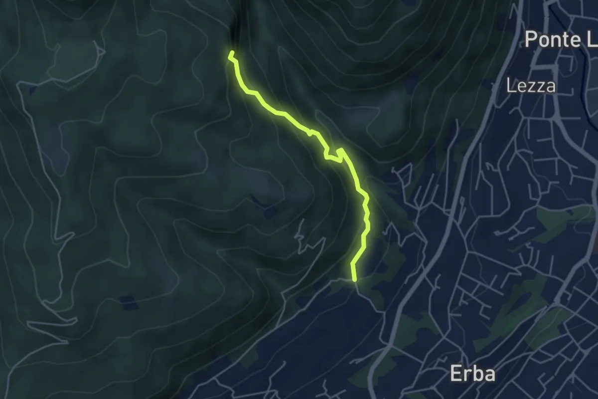
Demanding · Trail
C.na Ginocchio – Buco del Piombo
3.7 km · ↑ 335 m · 1 h 36 min · 14 km away
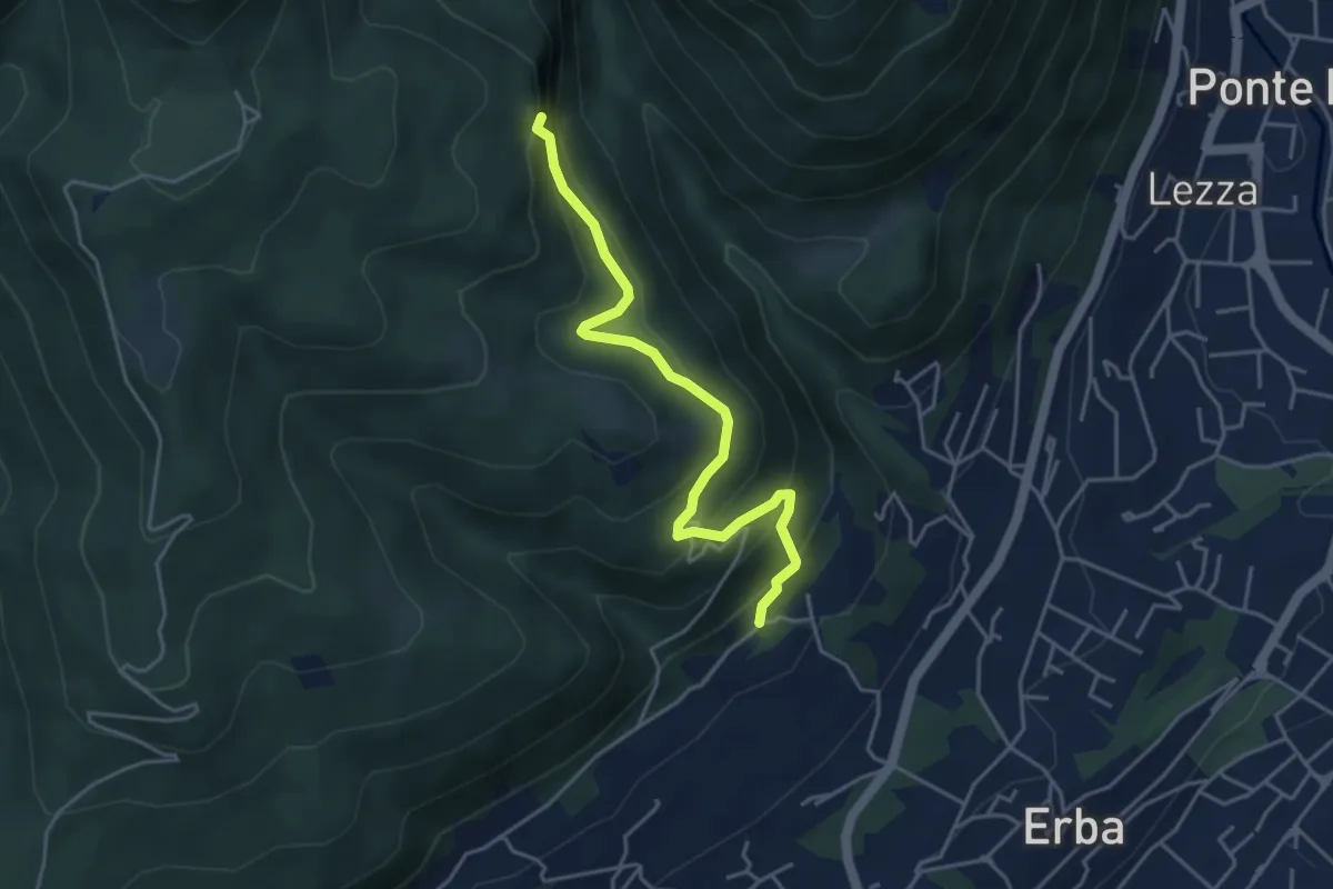
Medium · Trail
C.na Paradiso – Buco del Piombo
4.4 km · ↑ 324 m · 1 h 44 min · 14 km away
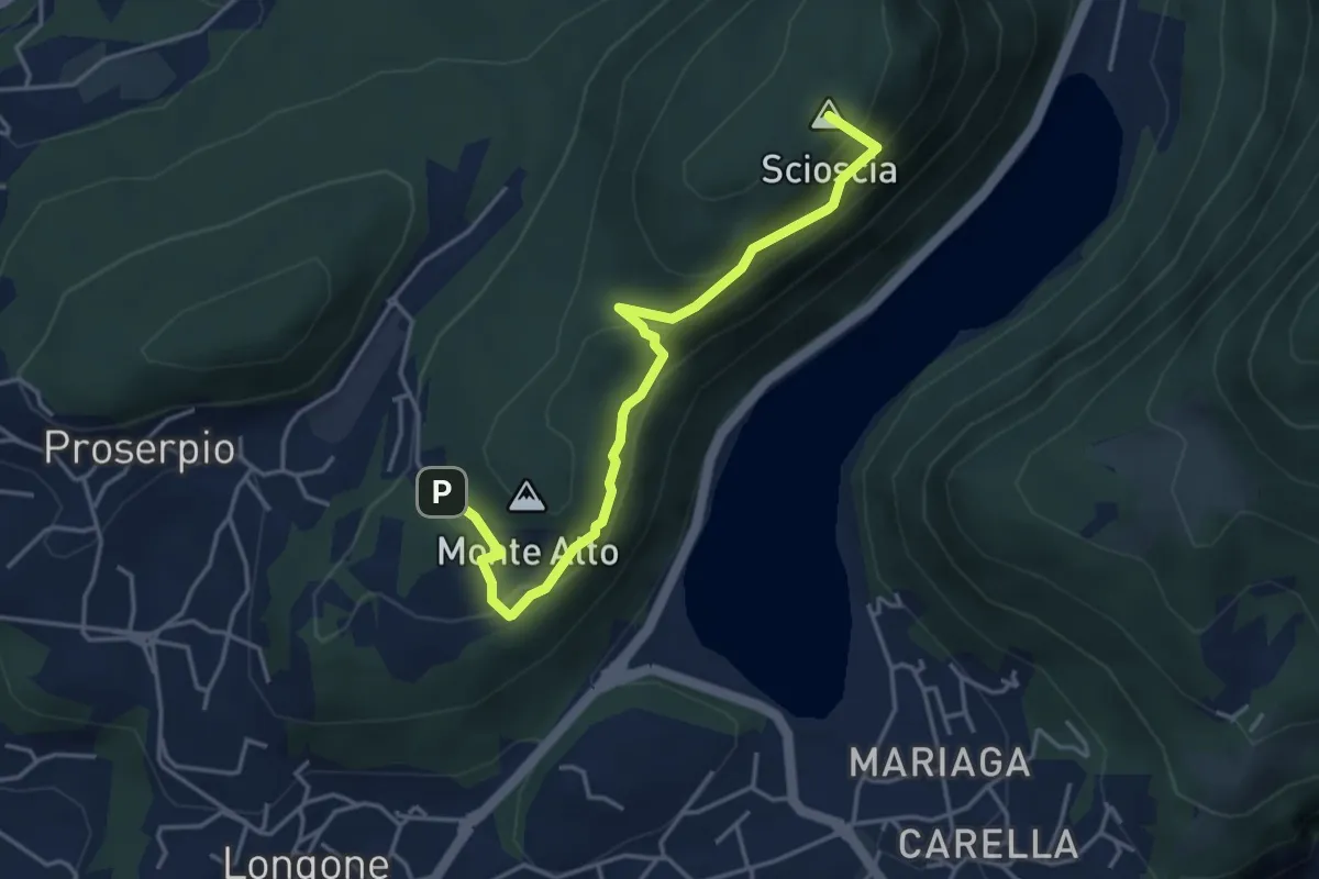
Demanding · Summit
Inarca (Proserpio) – Monte Scioscia
4.3 km · ↑ 243 m · 1 h 33 min · 14 km away
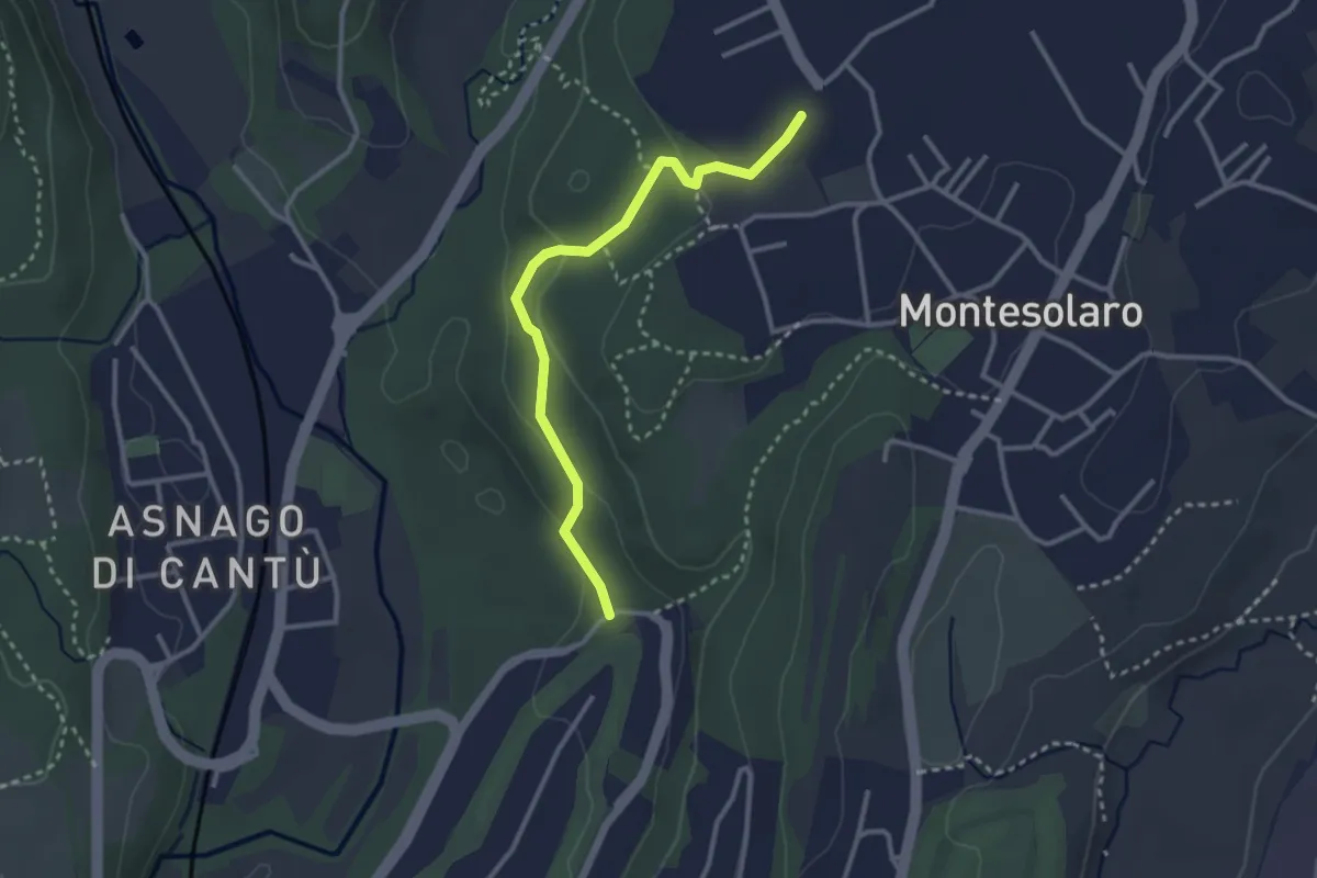
Easy · Trail
Carimate – Cantù
2.9 km · ↑ 102 m · 55 min · 14 km away
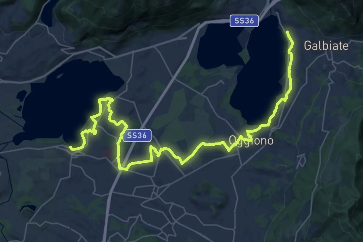
Medium · Trail
Sentiero Pedemonte - Tappa 3
16.6 km · ↑ 163 m · 4 h 30 min · 14 km away
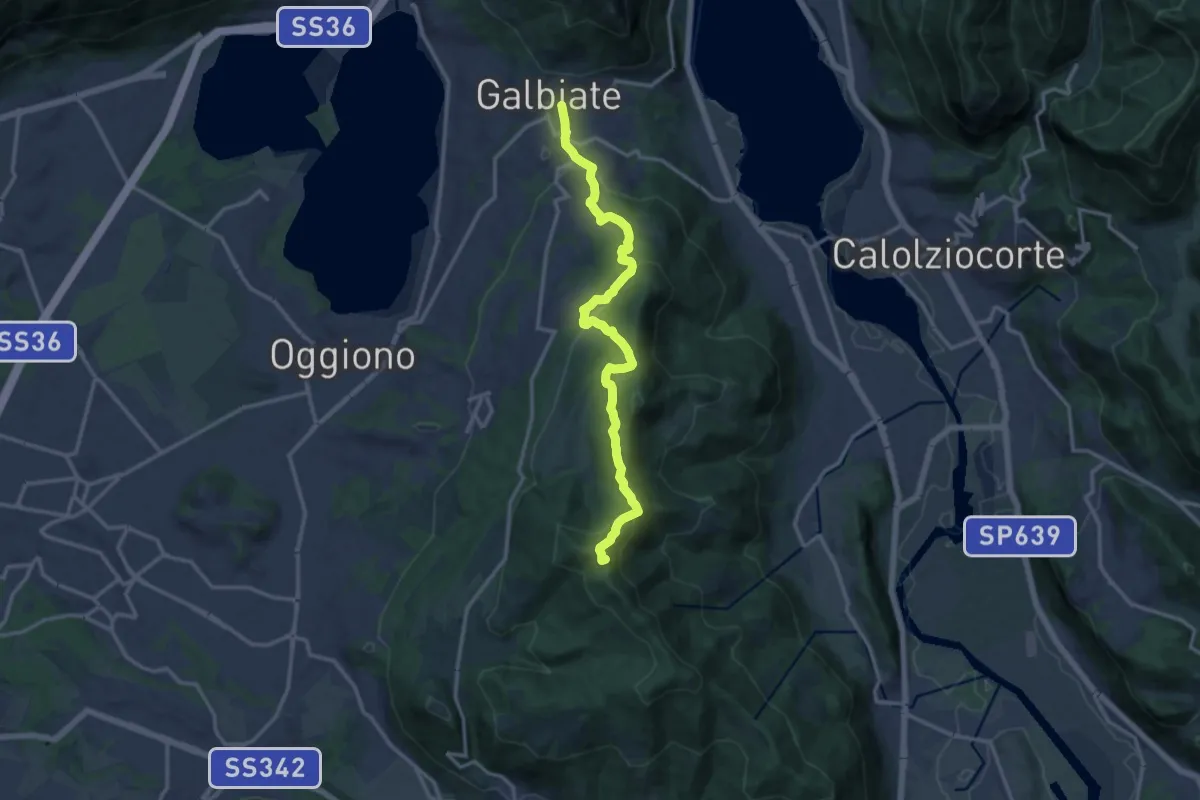
Medium · Summit
Olgiate Molgora (FS) – Galbiate
14.3 km · ↑ 669 m · 4 h 50 min · 14 km away
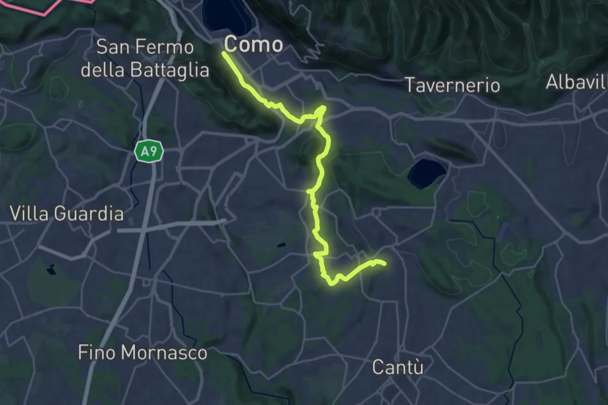
Demanding · Trail
Sentiero Pedemonte - Tappa 1
21.5 km · ↑ 414 m · 5 h 59 min · 14 km away
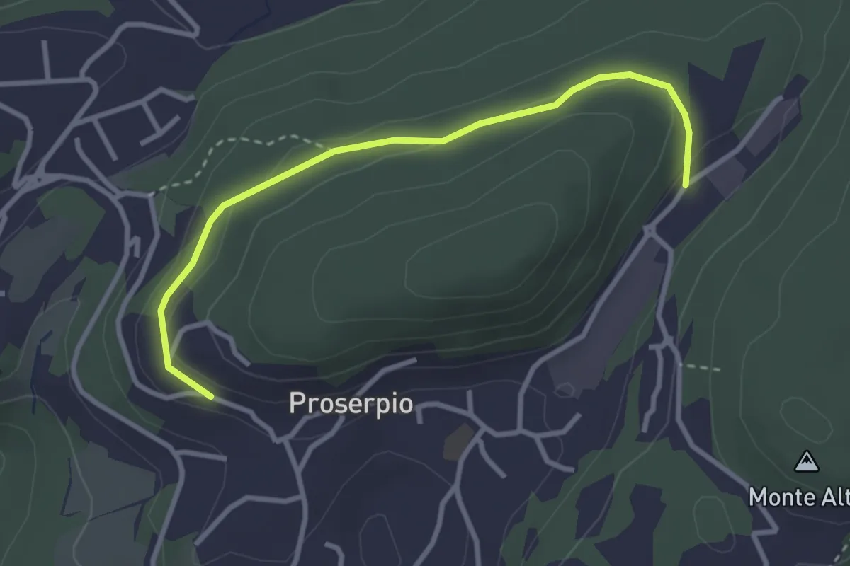
Easy · Trail
Rusera (Proserpio) – Zona industriale di Proseprio
3.1 km · ↑ 50 m · 51 min · 14 km away
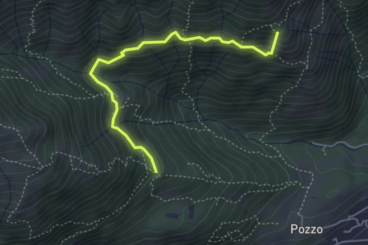
Medium · Summit
Tre Casott – Dosso della Guardia
4.1 km · ↑ 347 m · 1 h 43 min · 15 km away
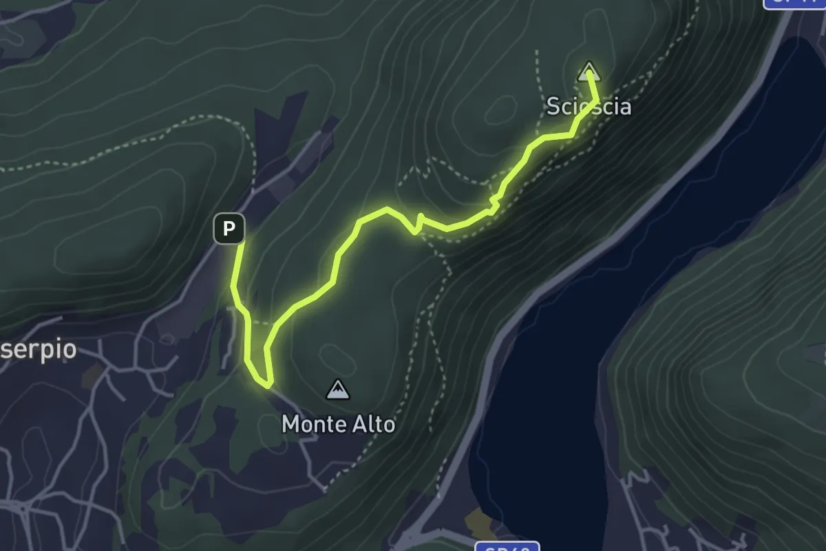
Demanding · Summit
Zona industriale di Proseprio – Canzo
4.1 km · ↑ 185 m · 1 h 21 min · 15 km away
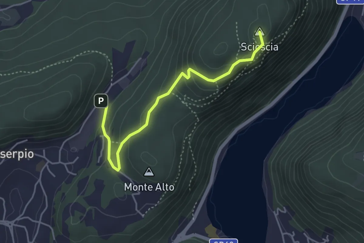
Easy · Summit
Zona industriale di Proseprio – Canzo
4.0 km · ↑ 173 m · 1 h 19 min · 15 km away
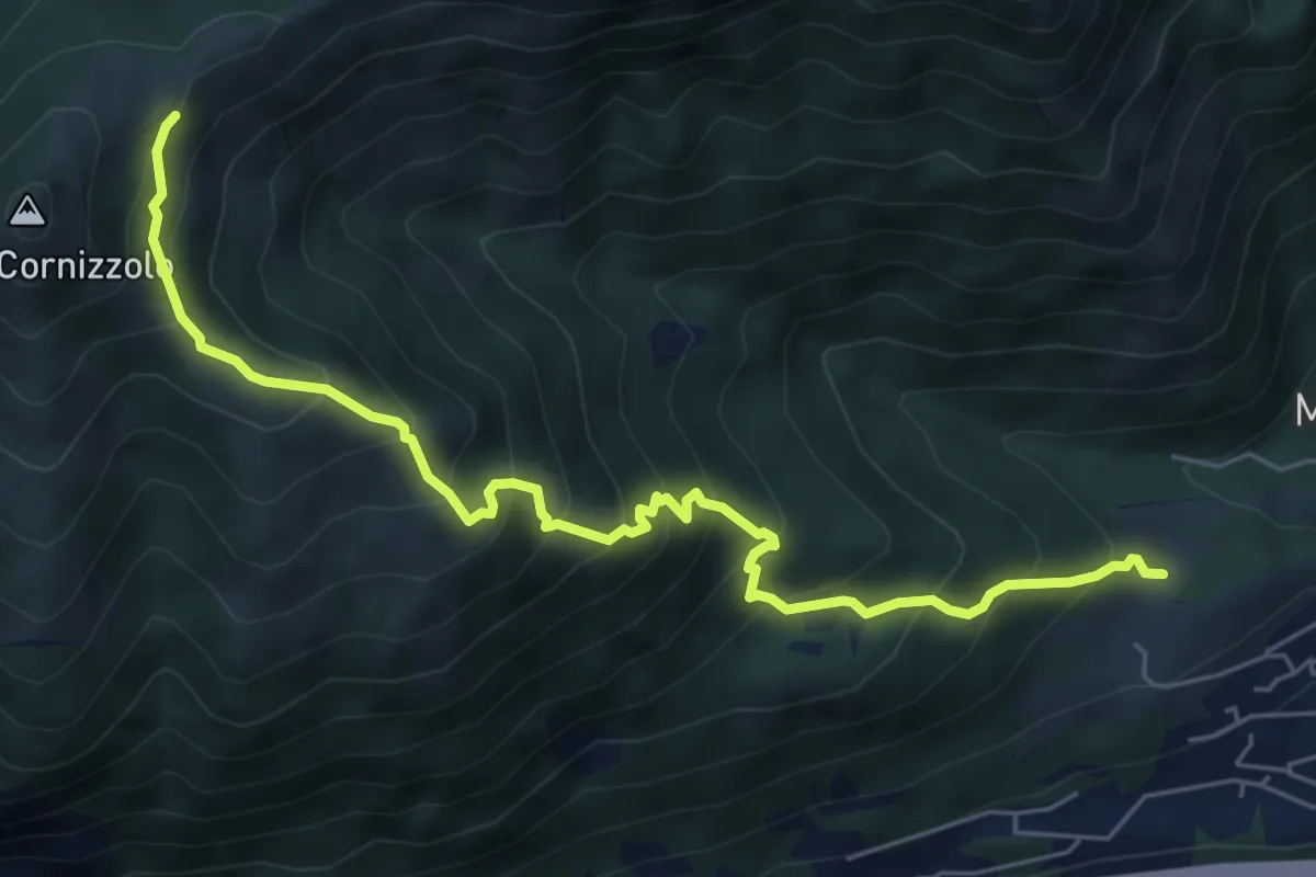
Medium · Cabin
Pozzo – Rifugio SEC Marisa Consigliere
6.7 km · ↑ 747 m · 3 h 12 min · 15 km away
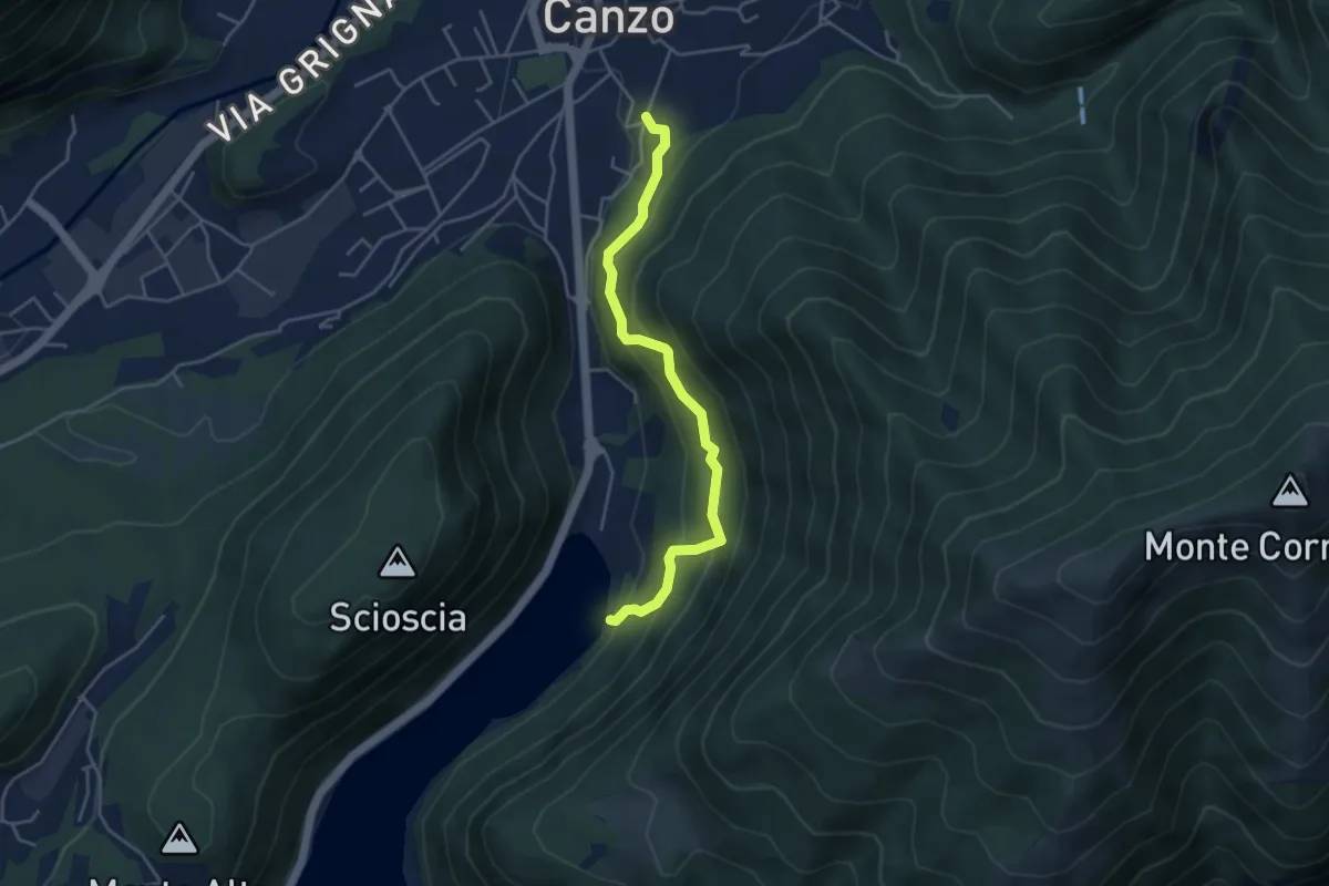
Medium · Trail
Lago del Segrino – Canzo
4.2 km · ↑ 399 m · 1 h 52 min · 15 km away
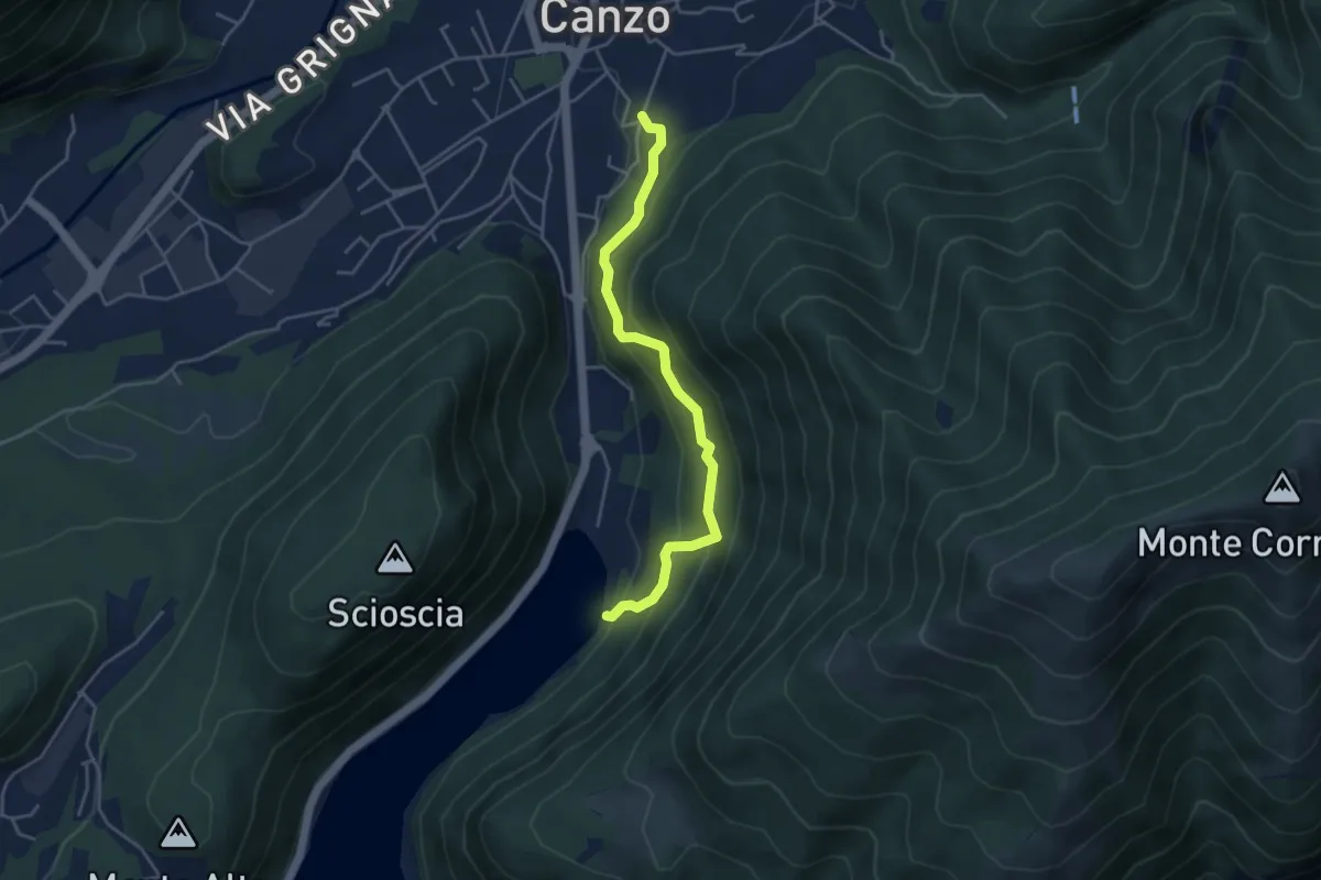
Medium · Trail
Sentiero di Budracch
4.2 km · ↑ 399 m · 1 h 52 min · 15 km away
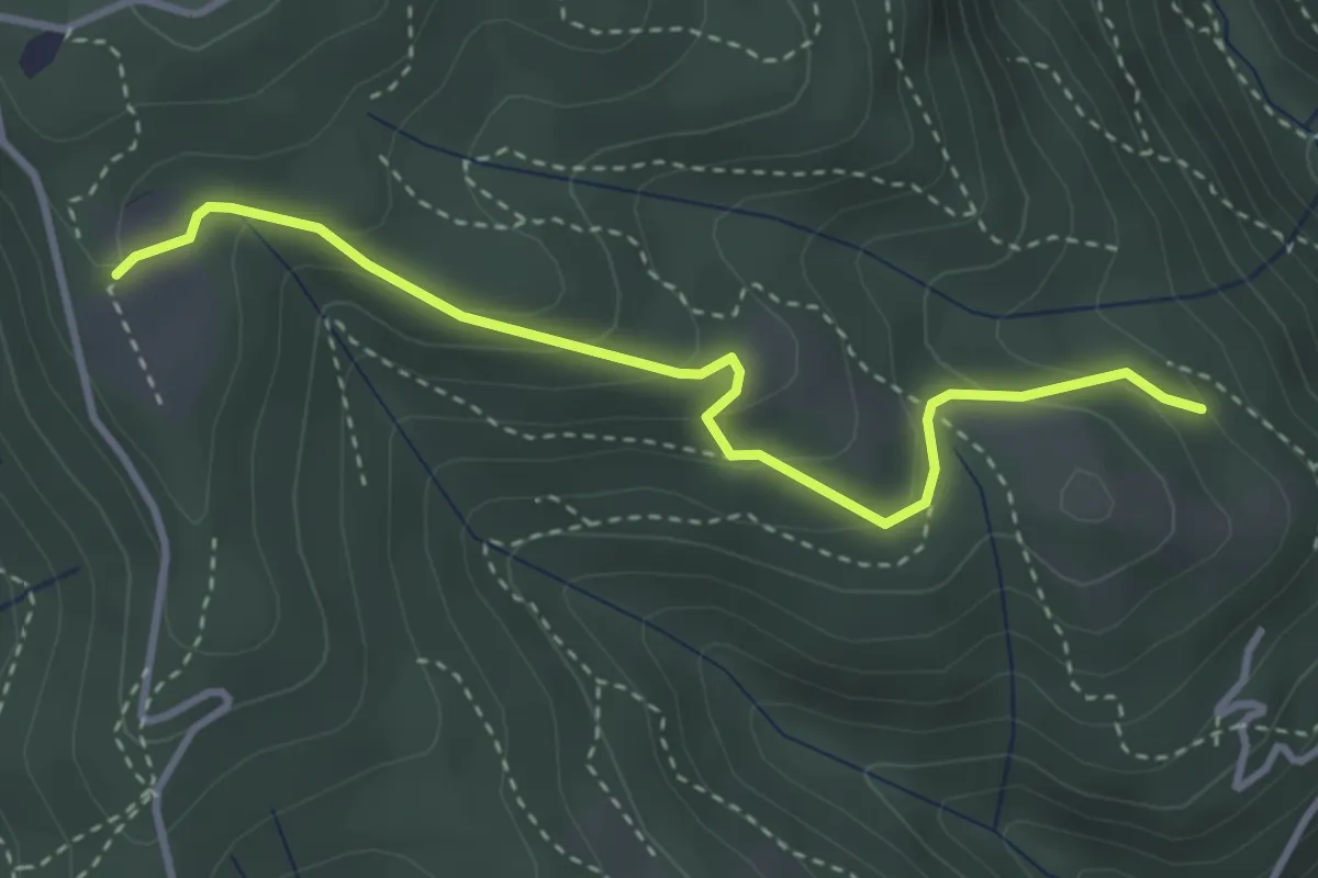
Easy · Trail
Cardögia – Ex Albergo la Salute
3.5 km · ↑ 186 m · 1 h 14 min · 15 km away
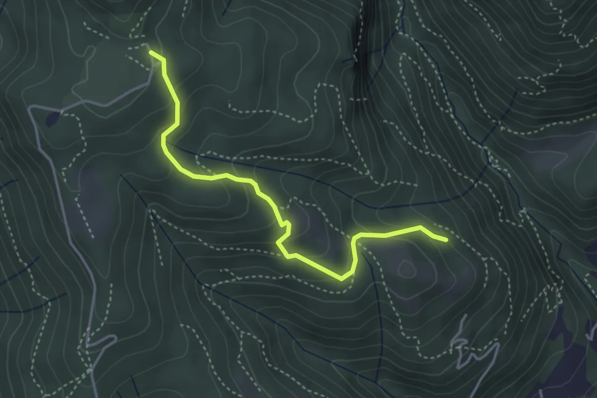
Medium · Trail
Cardögia – Alpe del Vicerè
3.8 km · ↑ 238 m · 1 h 25 min · 15 km away
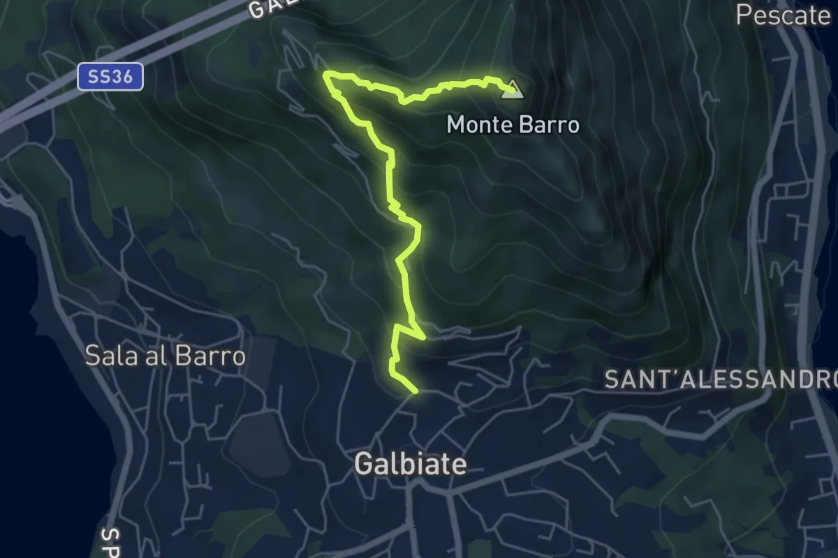
Demanding · Summit
Galbiate (lavatoio) – Monte Barro
5.3 km · ↑ 485 m · 2 h 18 min · 15 km away
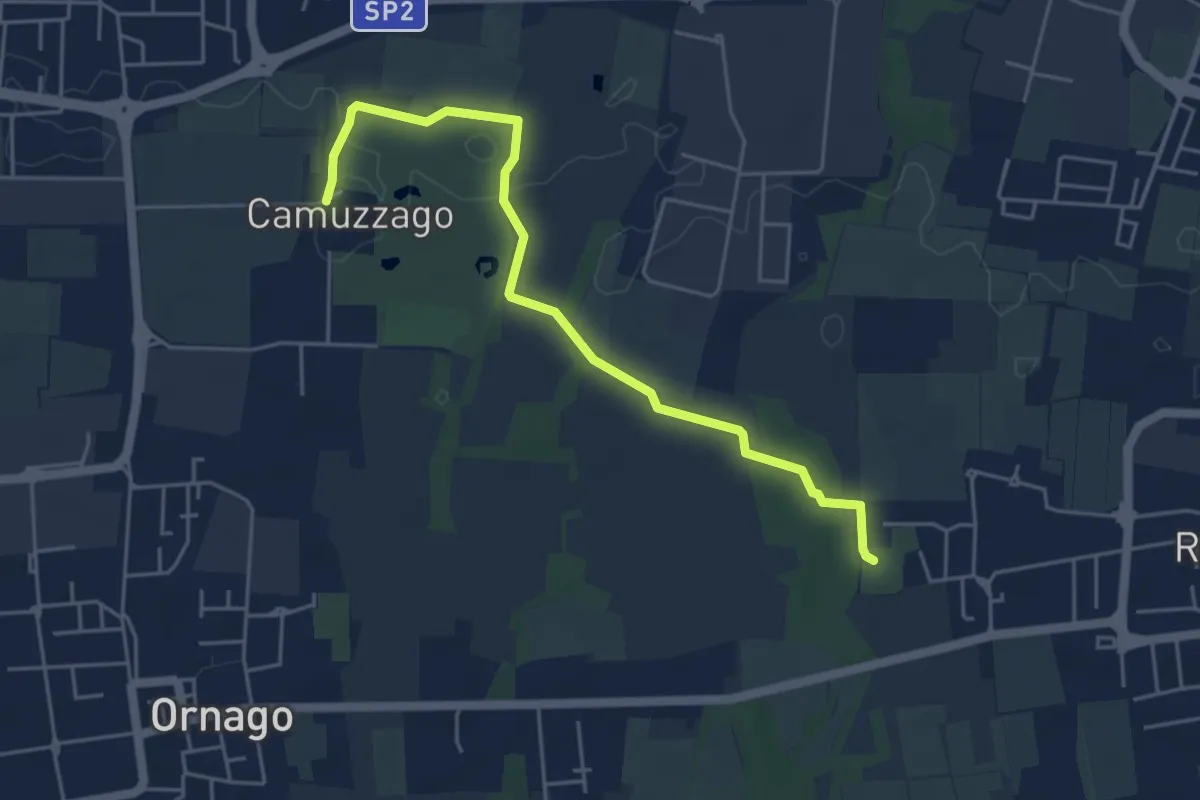
Easy · Trail
Sentiero delle Brughiere
5.1 km · ↑ 9 m · 1 h 14 min · 15 km away
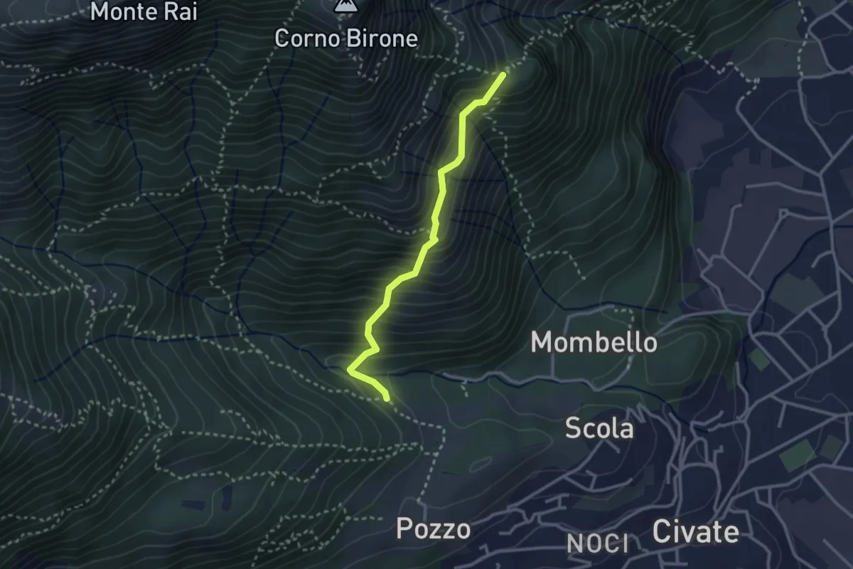
Medium · Trail
Cascina Oro – Ceppo della Forcola
2.6 km · ↑ 345 m · 1 h 22 min · 15 km away
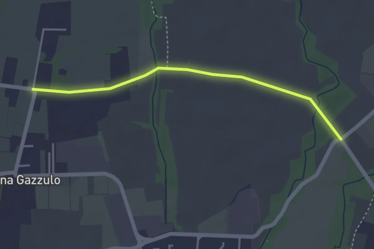
Easy · Trail
Percorso n° 6
3.4 km · ↑ 5 m · 49 min · 15 km away