Trails near Biancavilla
50 hikes starting within 15 km, nearest first.
Nearest first, page 1 of 2
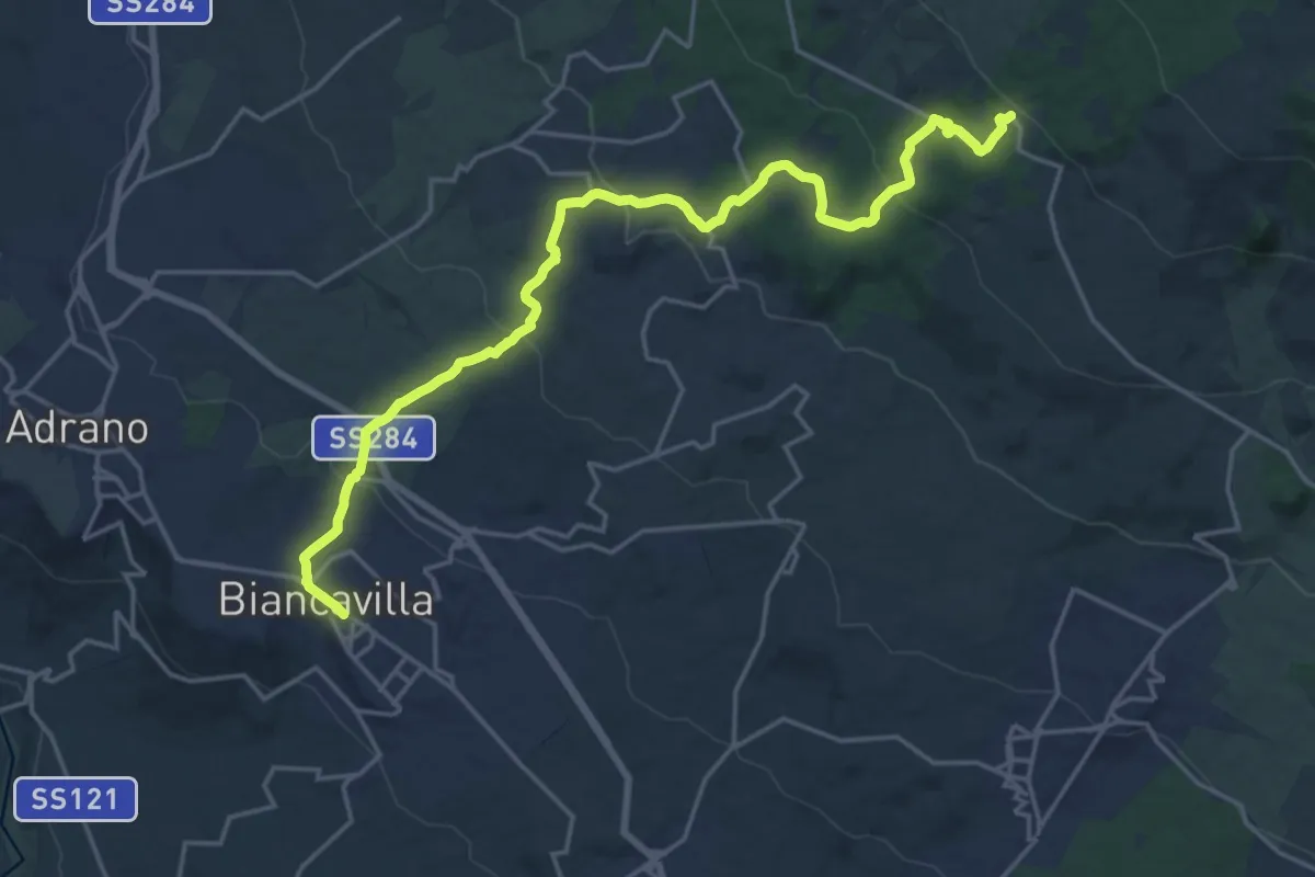
Demanding · Trail
Biancavilla - Punto Base n. 2
24.8 km · ↑ 870 m · 7 h 45 min · under 1 km away
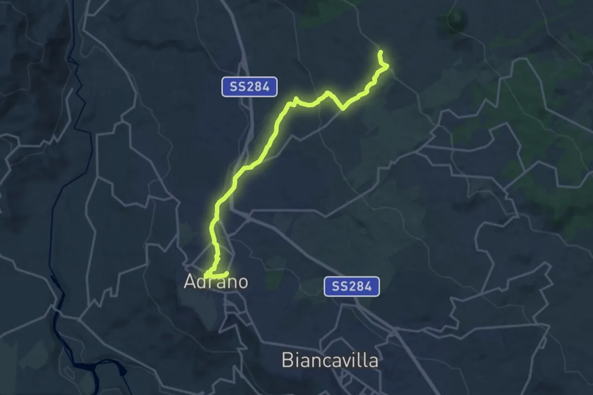
Medium · Trail
Adrano - Grotta del Santo
17.3 km · ↑ 455 m · 5 h 4 min · 3 km away
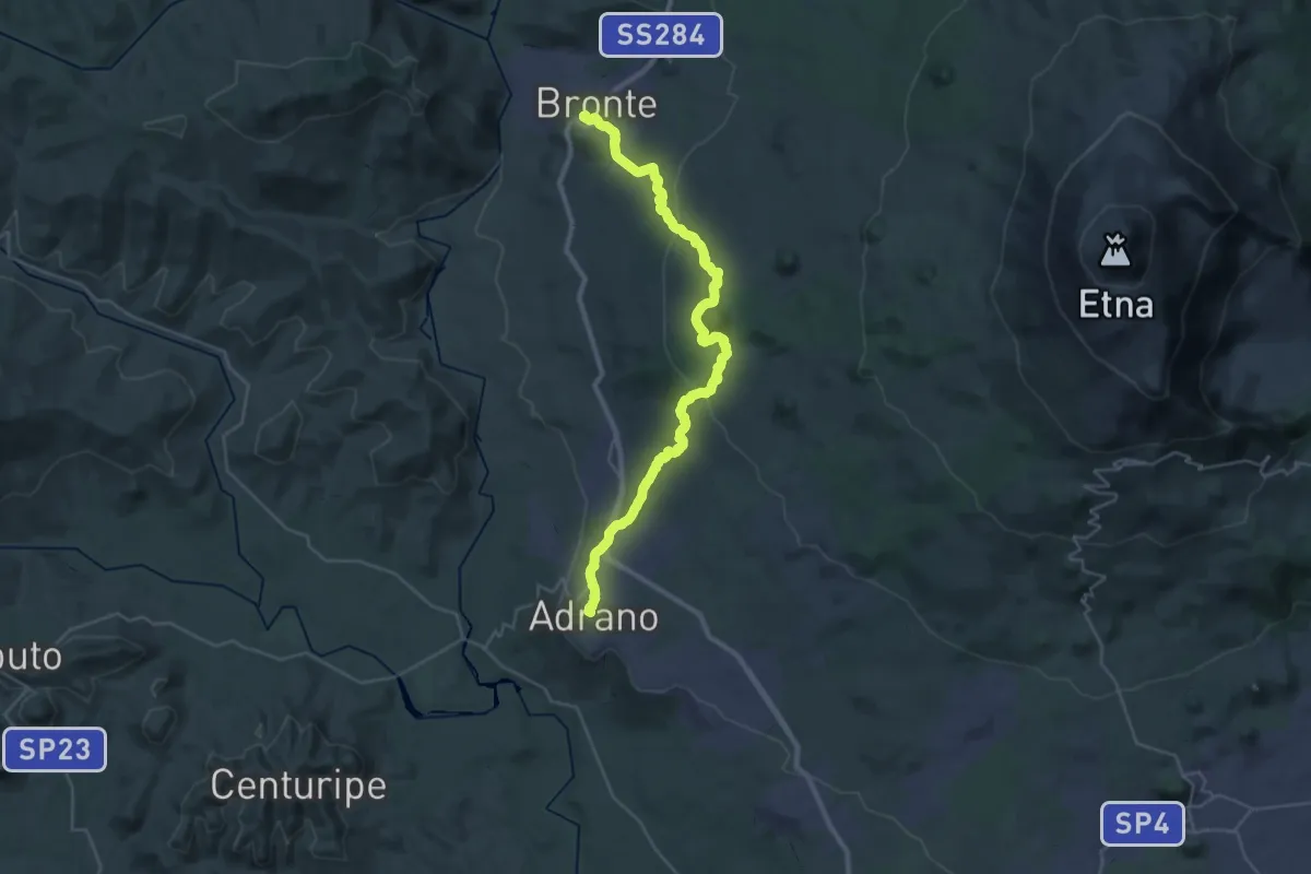
Demanding · Pilgrim path
Via Francigena Fabaria - Tappa 12
19.9 km · ↑ 656 m · 6 h 17 min · 3 km away
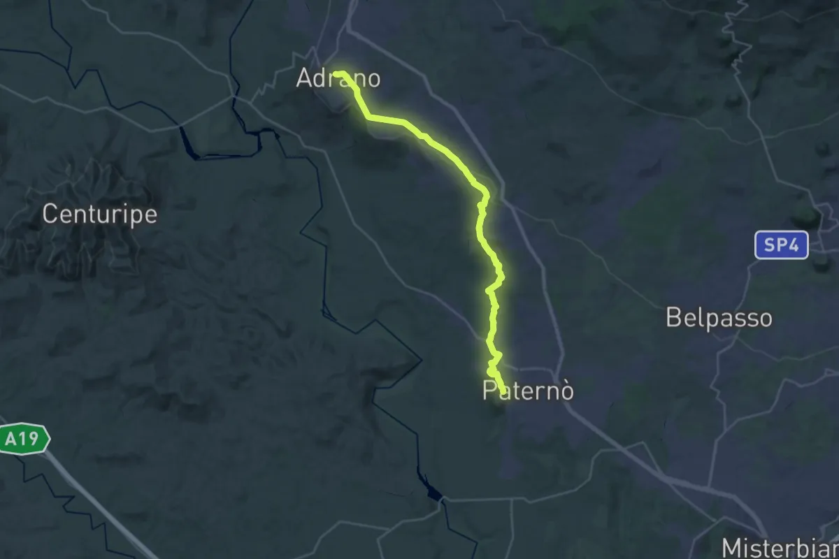
Medium · Pilgrim path
Via Francigena Fabaria - Tappa 11
15.2 km · ↑ 47 m · 4 h 4 min · 3 km away
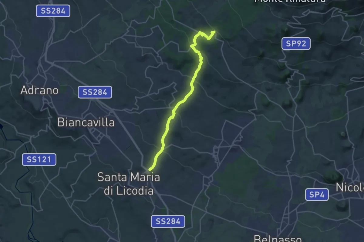
Demanding · Trail
S.Maria di Licodia - Sentiero 705 piano Mirio
20.8 km · ↑ 884 m · 6 h 49 min · 4 km away
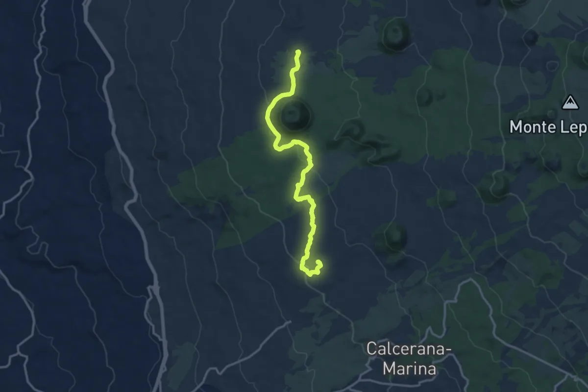
Medium · Cabin
Grotta del Santo - Piano dei Grilli
13.5 km · ↑ 302 m · 3 h 50 min · 7 km away
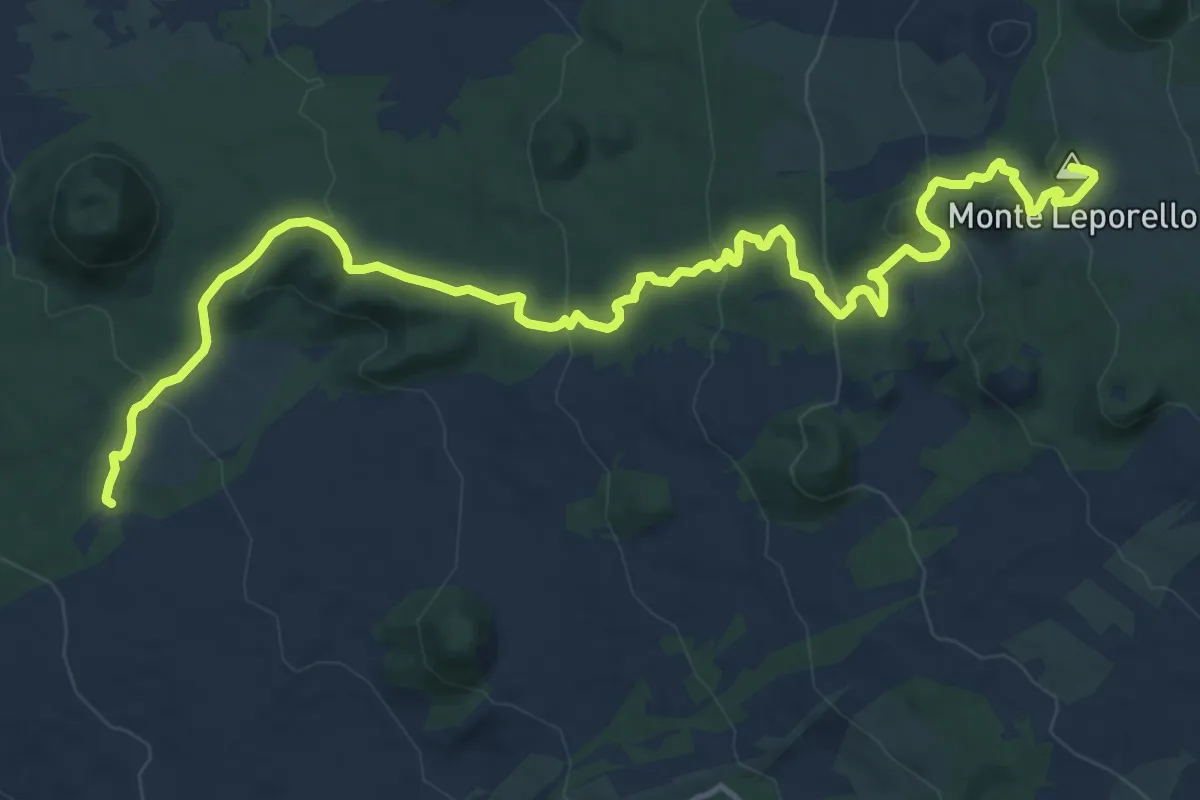
Demanding · Summit
Case Bosco Prato Fiorito – Rifugio Poggio la Caccia
18.9 km · ↑ 707 m · 5 h 59 min · 8 km away
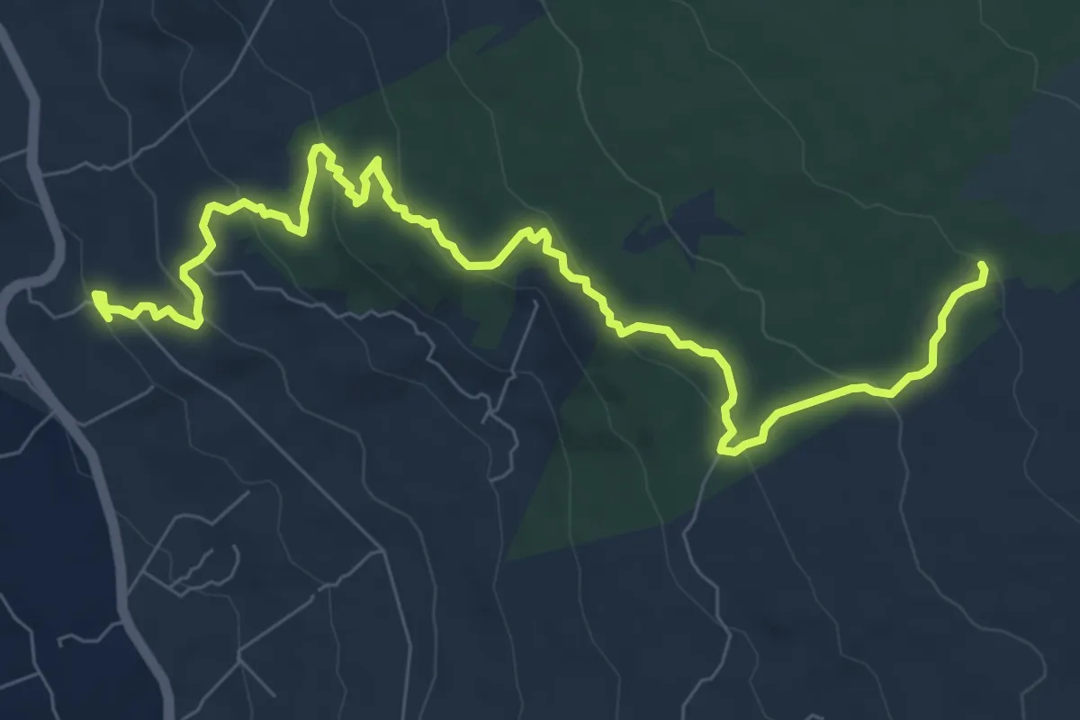
Medium · Trail
Stazione FCE Passo Zingaro – Inizio Sentiero 708 Case Bosco Prato Fiorito
11.0 km · ↑ 429 m · 3 h 32 min · 8 km away
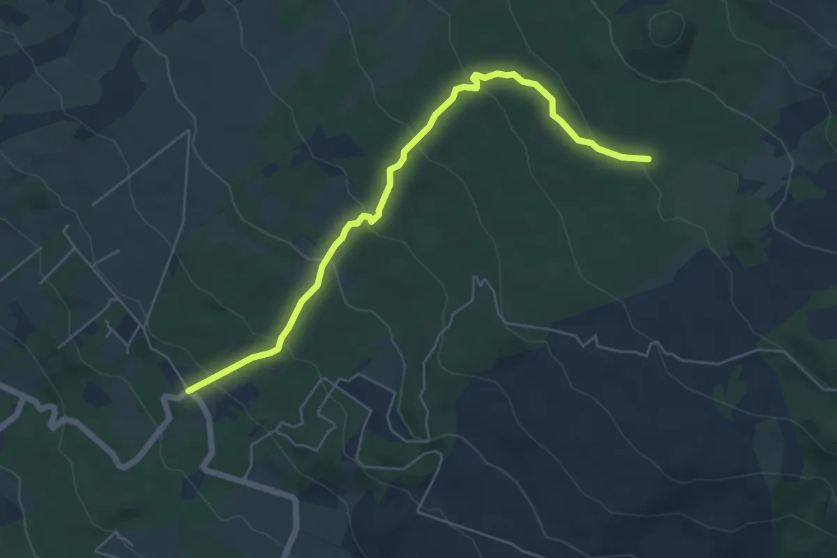
Easy · Trail
Piano Mirio - Pista Altomontana
6.5 km · ↑ 317 m · 2 h 13 min · 8 km away
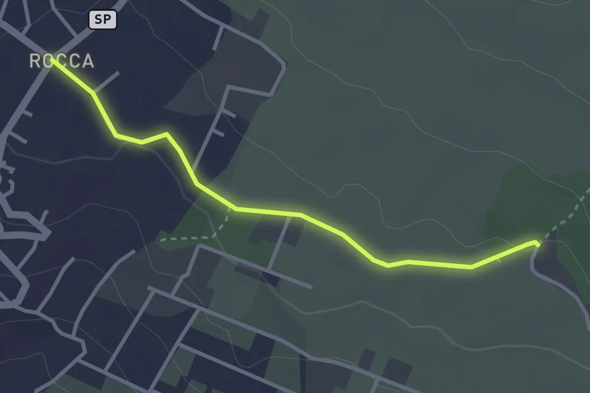
Easy · Trail
Piazza Rocca (Ragalna) – Sentiero 786
3.2 km · ↑ 23 m · 48 min · 8 km away
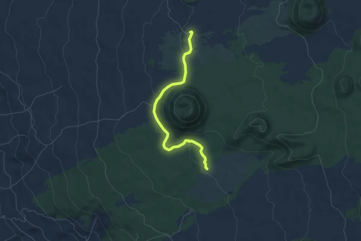
Easy · Cabin
Monte Minardo
6.8 km · ↑ 127 m · 1 h 53 min · 9 km away
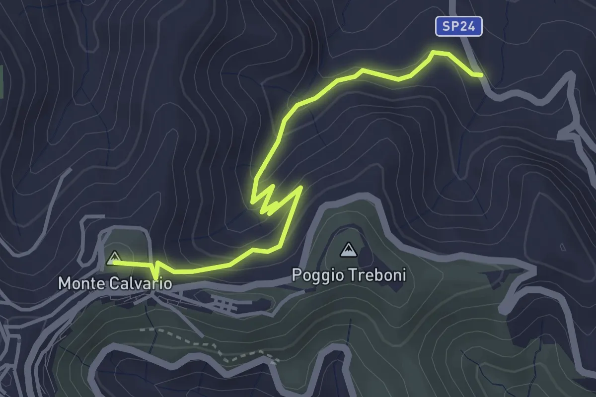
Medium · Summit
Cateratte
4.3 km · ↑ 294 m · 1 h 39 min · 9 km away
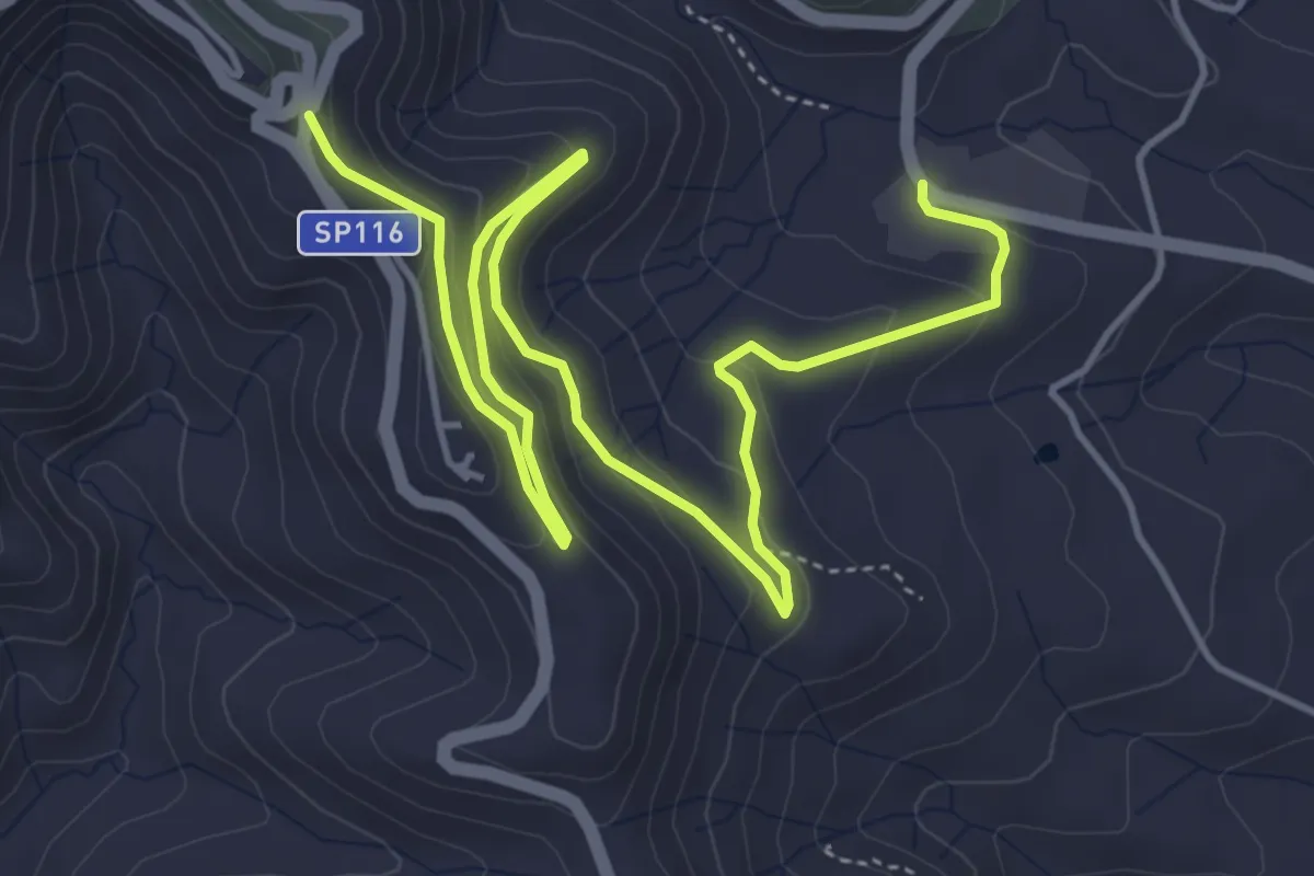
Medium · Trail
Miniere Marmora
7.9 km · ↑ 346 m · 2 h 36 min · 10 km away
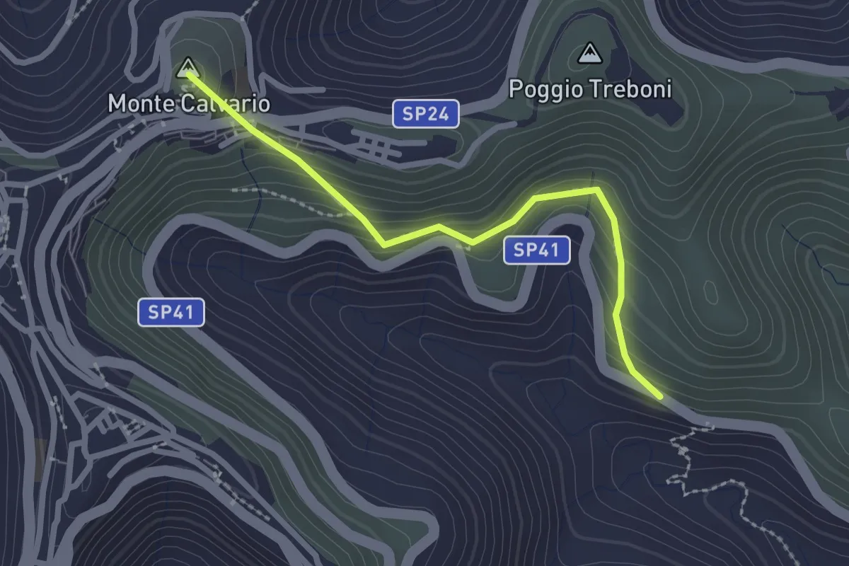
Medium · Summit
Difesa
2.6 km · ↑ 180 m · 1 h · 10 km away
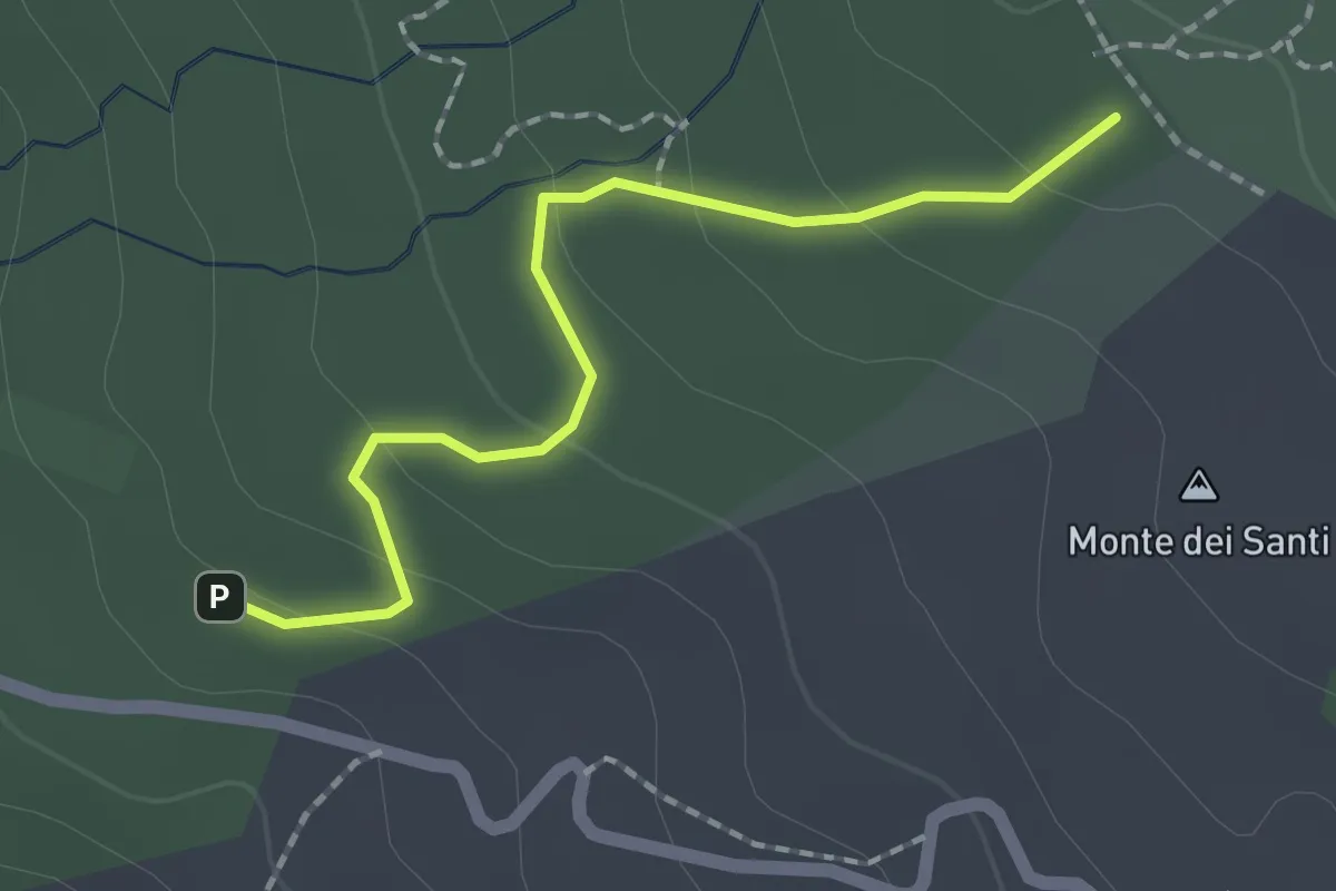
Easy · Trail
Piano Mirio - Vivaio Forestale Etna - Pista Altomontana
2.1 km · ↑ 76 m · 39 min · 10 km away
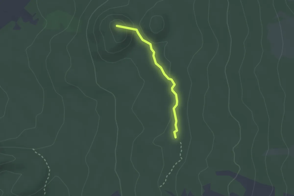
Easy · Summit
Monte Ruvolo - Case Zampini
2.1 km · ↑ 35 m · 35 min · 10 km away
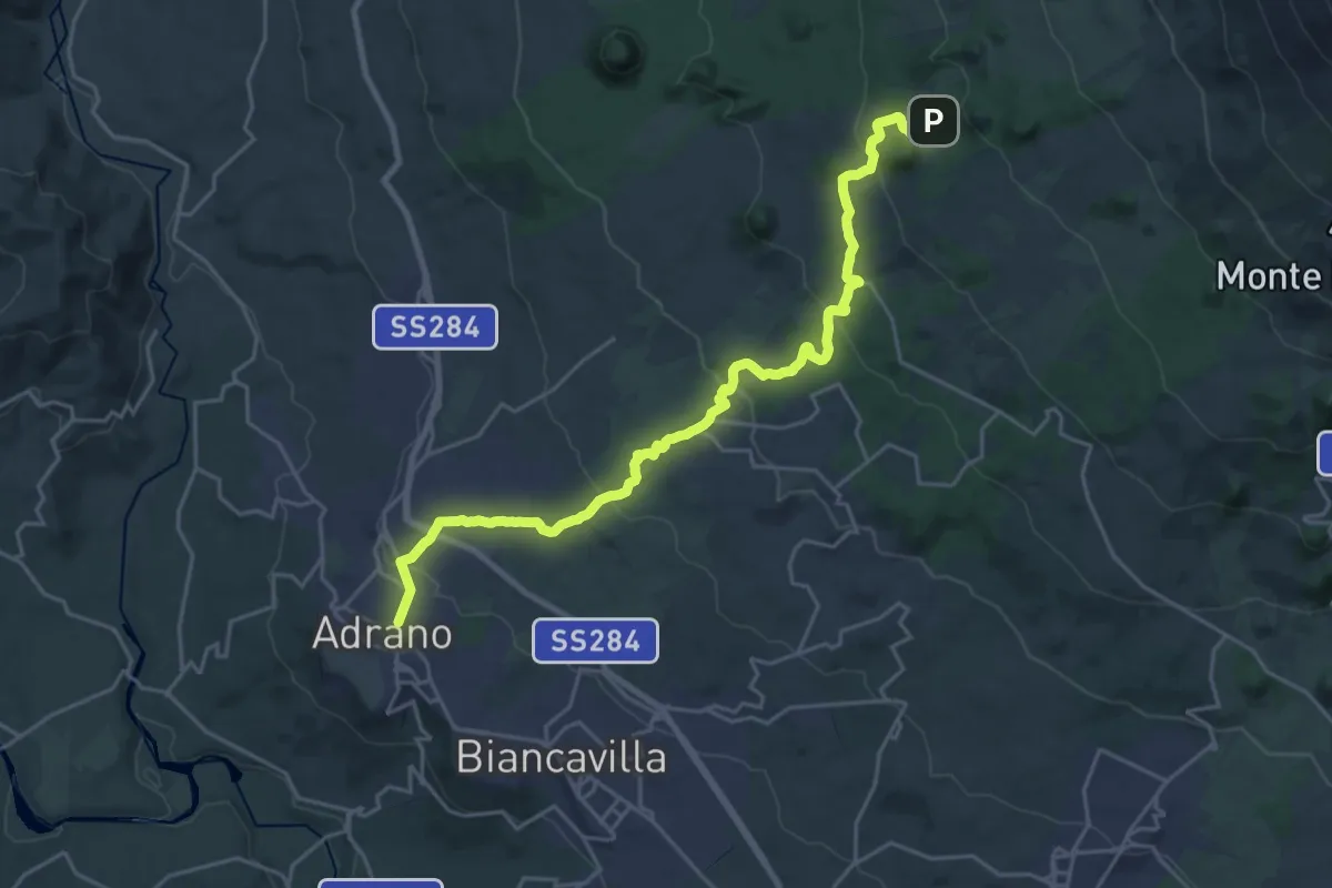
Medium · Trail
Adrano - Punto Base n. 3 Piano Fiera
14.4 km · ↑ 0 m · 4 h 6 min · 10 km away
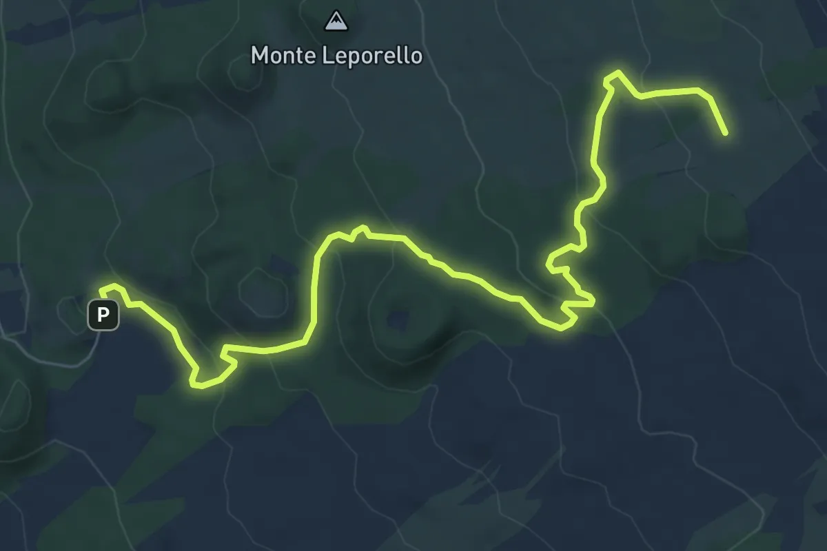
Medium · Cabin
Piano Fiera – Rifugio della Galvarina
10.3 km · ↑ 378 m · 3 h 15 min · 10 km away
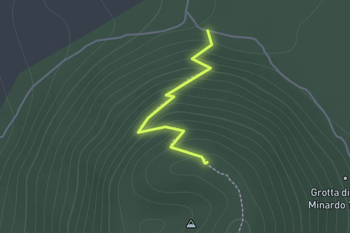
Easy · Summit
Squadriglia Scout Leoni
1.2 km · ↑ 109 m · 31 min · 10 km away
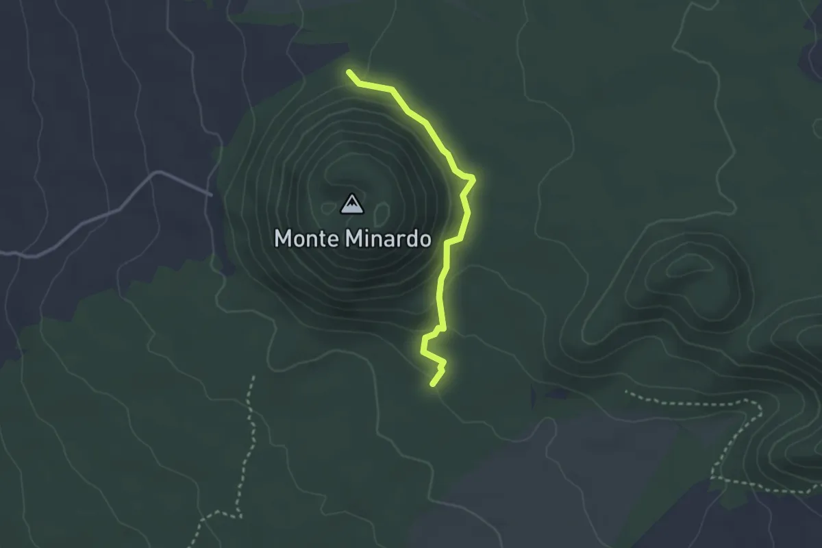
Easy · Trail
Squadriglia Scout Antilopi
2.9 km · ↑ 110 m · 56 min · 10 km away
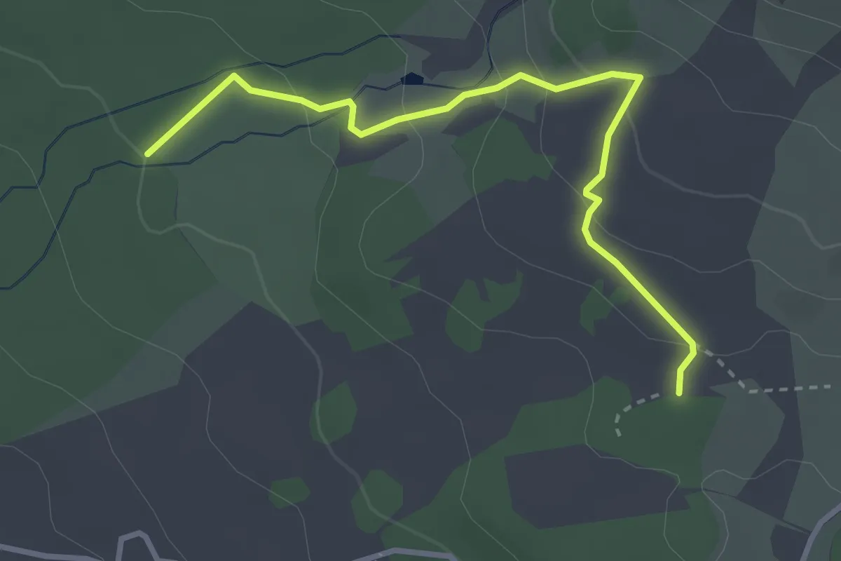
Easy · Trail
Piano Vetore – Nuova Gussonea
3.7 km · ↑ 156 m · 1 h 13 min · 11 km away
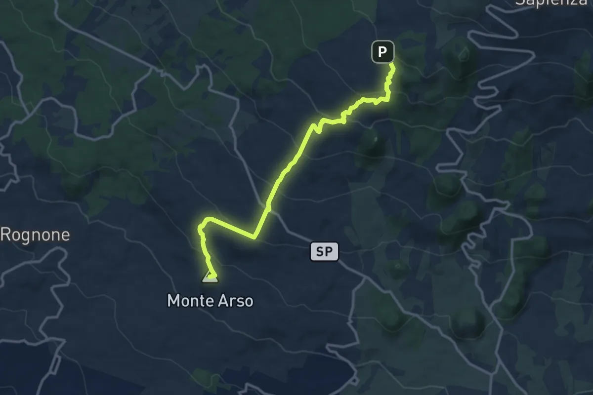
Medium · Summit
Piazza Rocca (Ragalna) – Pista Altomontana (701A)
12.5 km · ↑ 641 m · 4 h 20 min · 11 km away
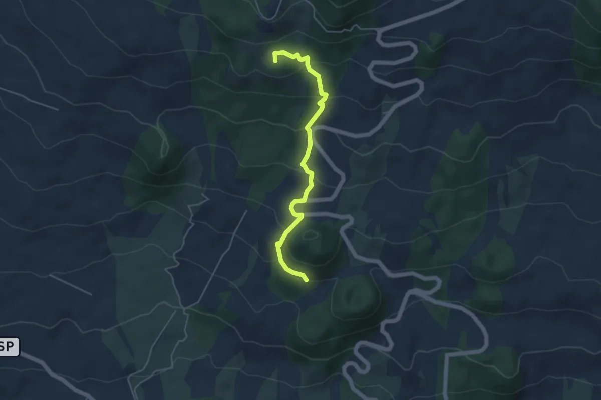
Easy · Summit
Monte Manfrè - Pista Altomontana
5.0 km · ↑ 297 m · 1 h 49 min · 11 km away
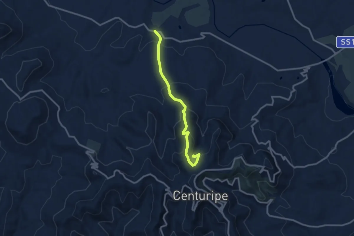
Medium · Trail
Sisto
7.9 km · ↑ 422 m · 2 h 47 min · 11 km away
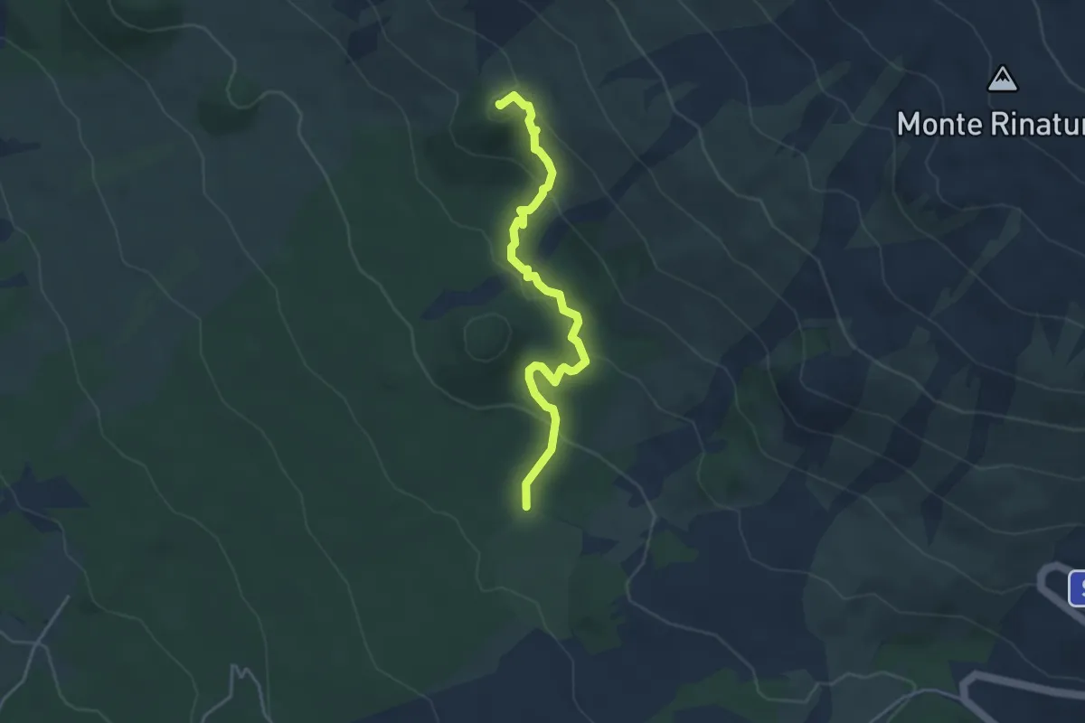
Easy · Summit
Monte Denza - Monte Scavo
4.4 km · ↑ 186 m · 1 h 27 min · 11 km away
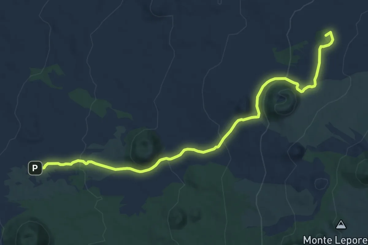
Medium · Summit
Piano Grilli - Altomontana
14.4 km · ↑ 515 m · 4 h 31 min · 11 km away
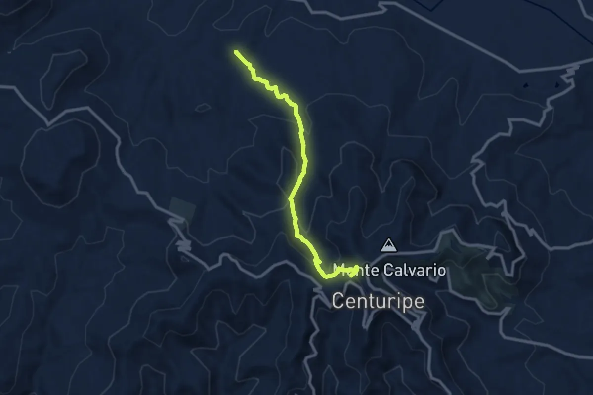
Medium · Summit
SS121 – Centuripe
8.1 km · ↑ 407 m · 2 h 48 min · 11 km away
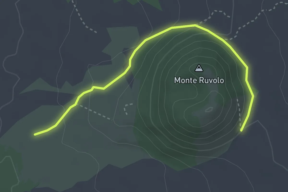
Easy · Trail
Monte Ruvolo
3.9 km · ↑ 119 m · 1 h 11 min · 11 km away
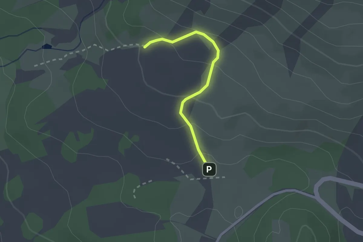
Easy · Cabin
Sentiero Grotta Santa Barbara Variante
2.0 km · ↑ 97 m · 42 min · 12 km away
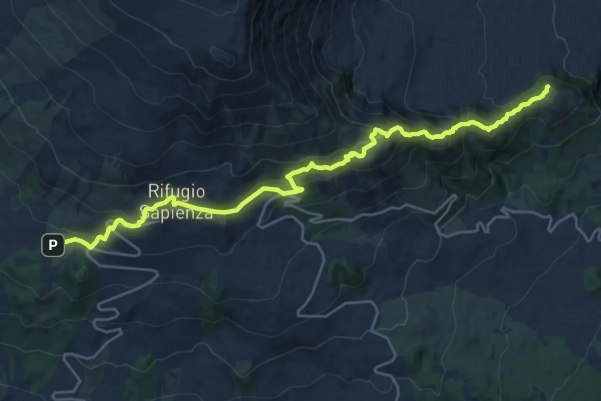
Demanding · Summit
Piano Vetore – Piano dell'Acqua
18.6 km · ↑ 1011 m · 6 h 35 min · 12 km away
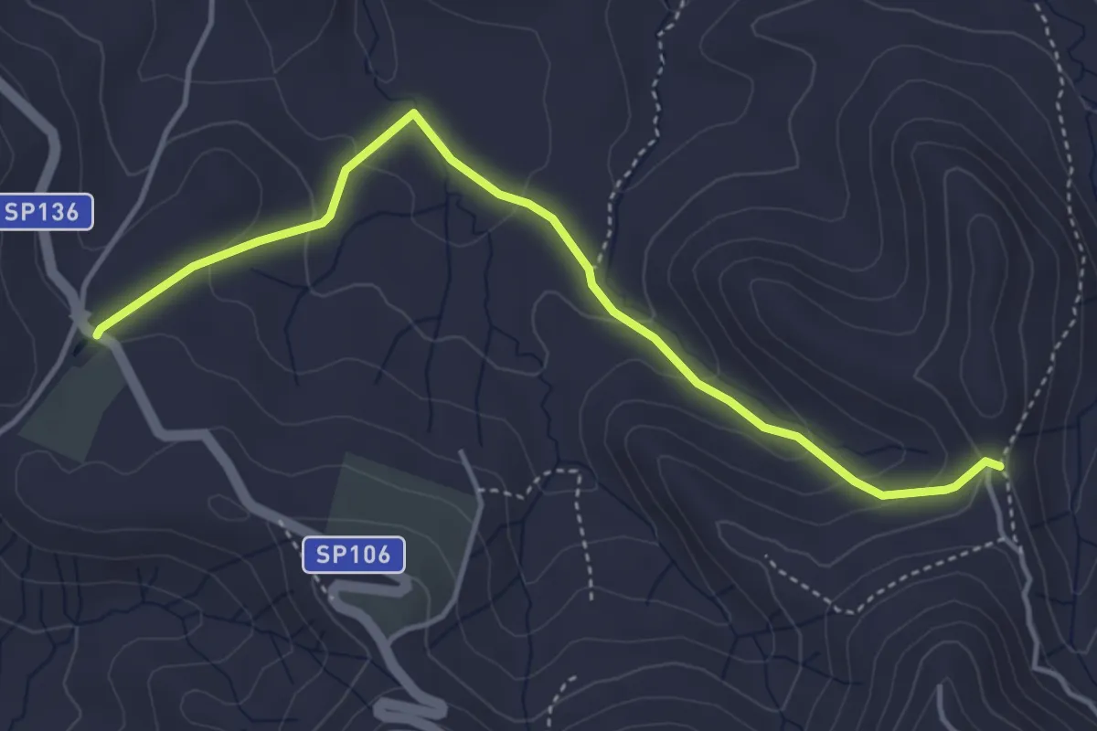
Easy · Trail
Poggio Pellegrino
5.0 km · ↑ 204 m · 1 h 37 min · 12 km away
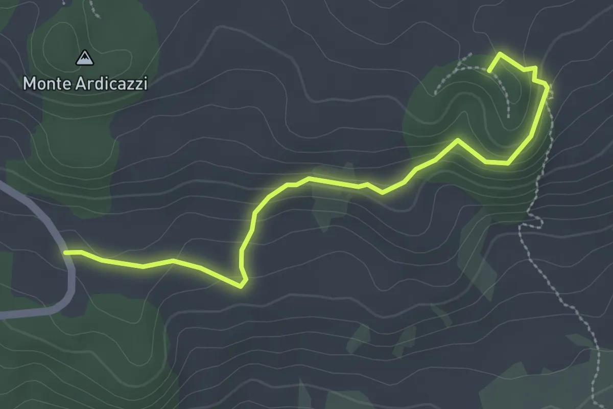
Easy · Summit
Monte Concilio Monte Gemmellaro
3.6 km · ↑ 158 m · 1 h 11 min · 12 km away
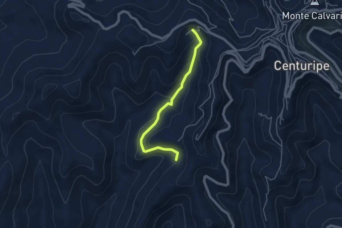
Medium · Trail
Crescinotto
3.9 km · ↑ 207 m · 1 h 22 min · 12 km away
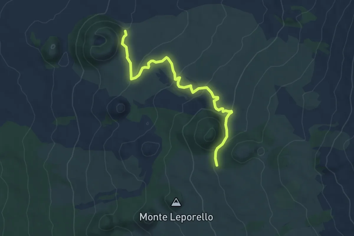
Easy · Trail
Monte Lepre - Monte Rosso
7.6 km · ↑ 271 m · 2 h 23 min · 13 km away
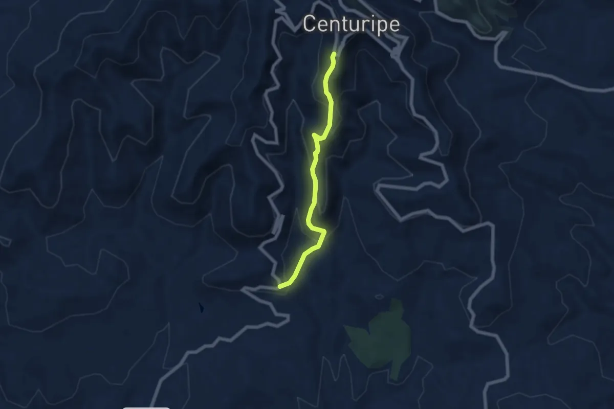
Medium · Trail
Gelosia
5.8 km · ↑ 392 m · 2 h 13 min · 13 km away
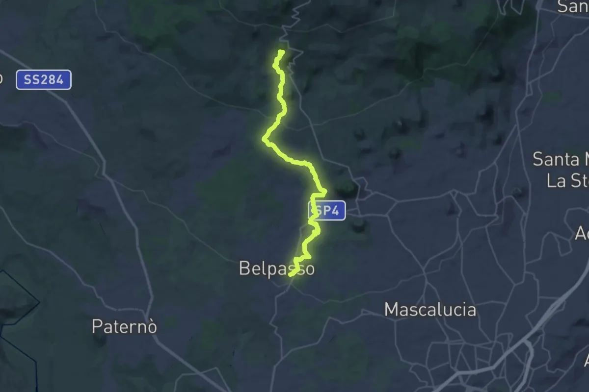
Demanding · Cabin
Belpasso – Rifugio di Monte Manfrè
14.4 km · ↑ 836 m · 5 h 1 min · 13 km away
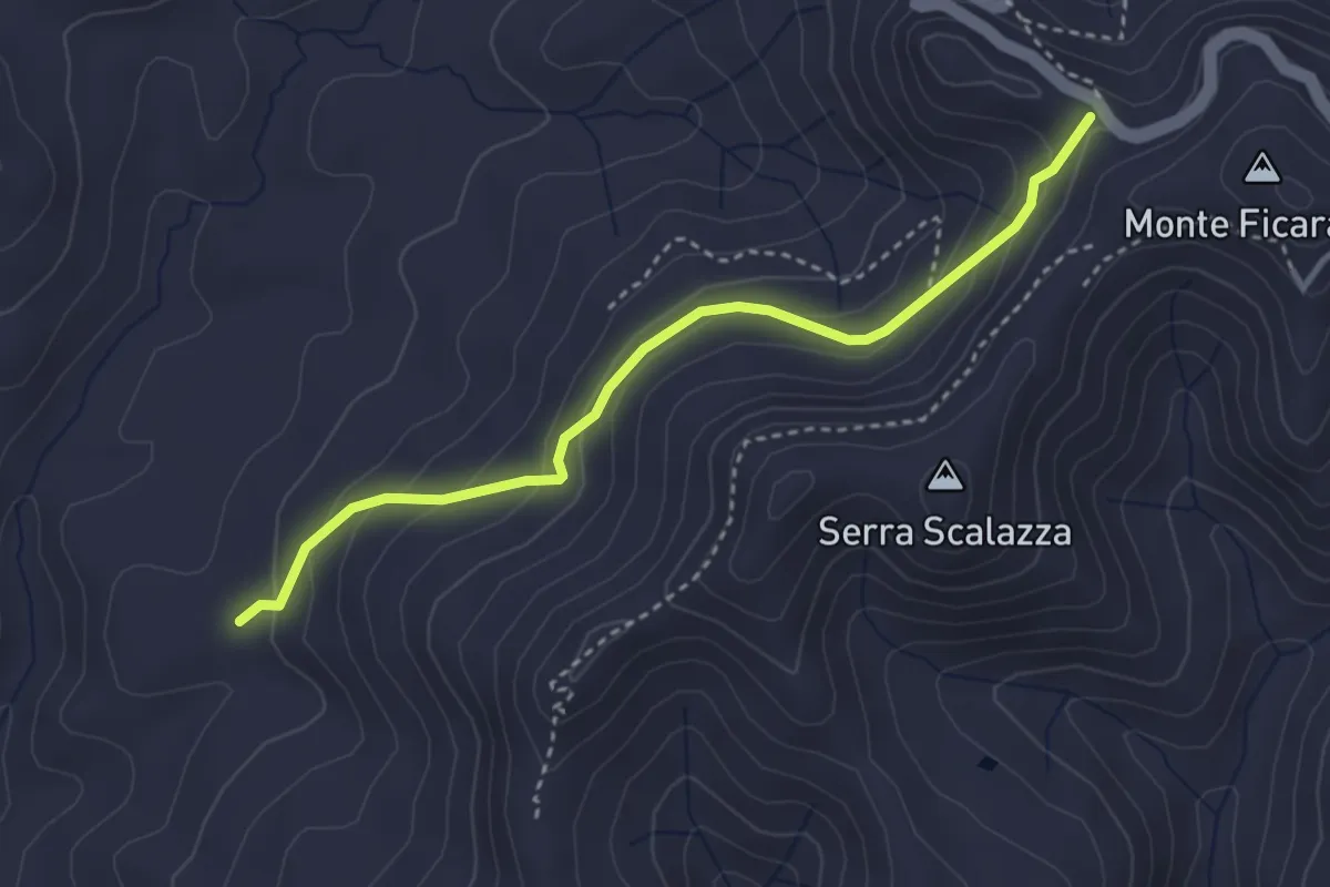
Easy · Trail
Salto
3.9 km · ↑ 207 m · 1 h 22 min · 13 km away
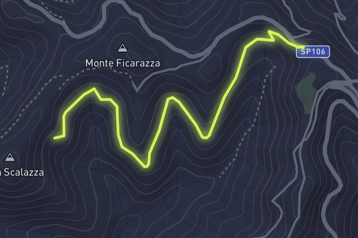
Medium · Trail
Affucamuli
4.8 km · ↑ 261 m · 1 h 42 min · 13 km away
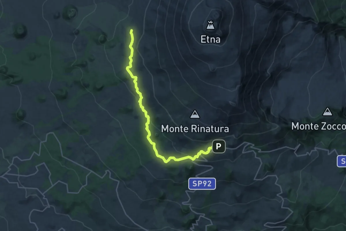
Demanding · Summit
Bivacco Forestale di Monte Scavo – Rifugio CAI Giovannino Sapienza
21.8 km · ↑ 600 m · 6 h 27 min · 13 km away
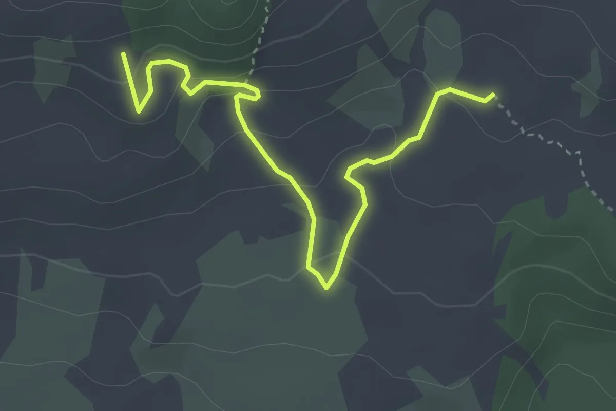
Easy · Trail
Monte Grosso-Monte Albano
4.2 km · ↑ 159 m · 1 h 20 min · 14 km away
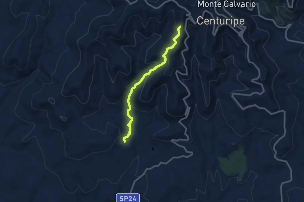
Medium · Trail
R.T. Centuripe Catenanuova
7.0 km · ↑ 450 m · 2 h 37 min · 14 km away
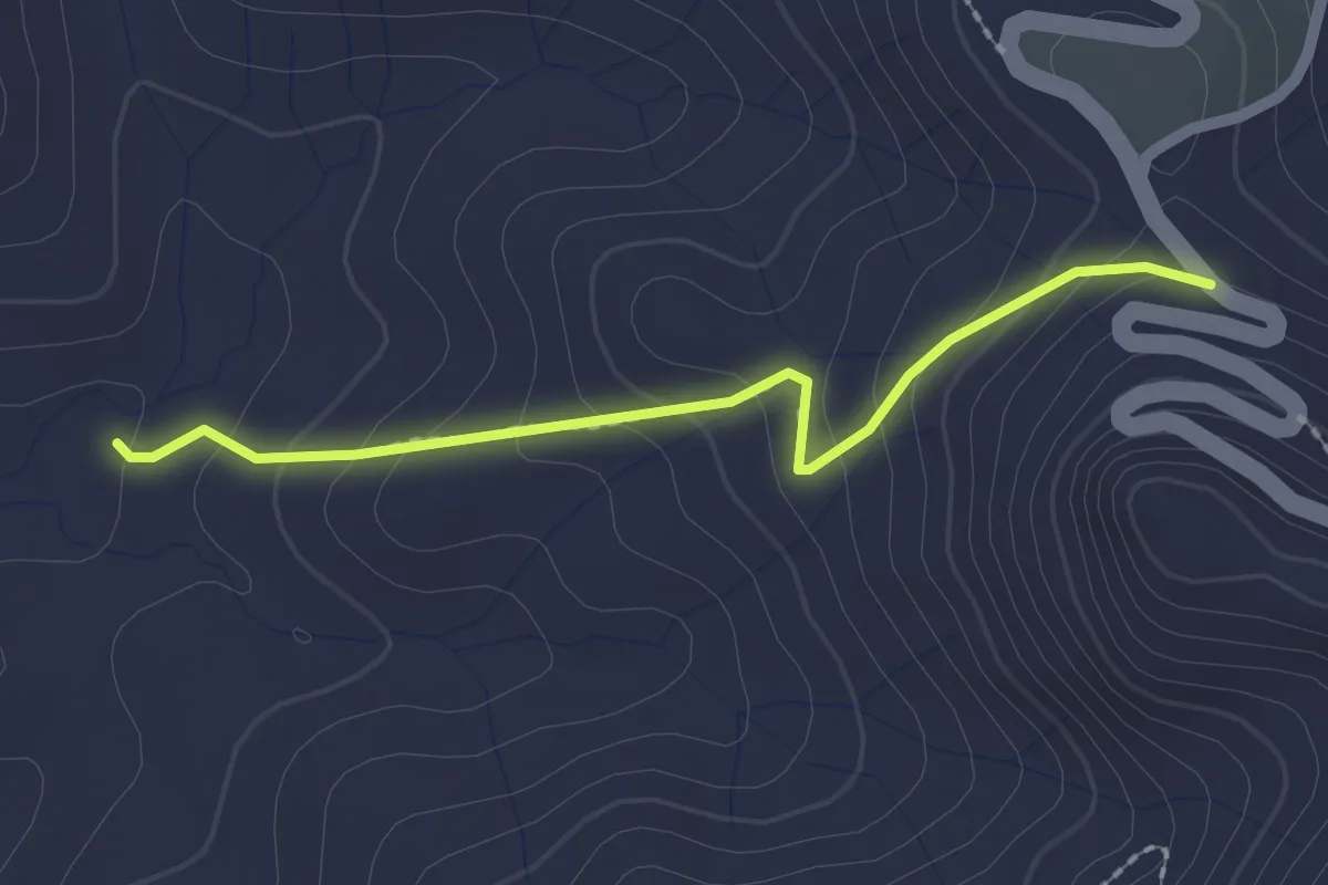
Easy · Trail
Sentiero Ponticello
2.3 km · ↑ 136 m · 50 min · 14 km away
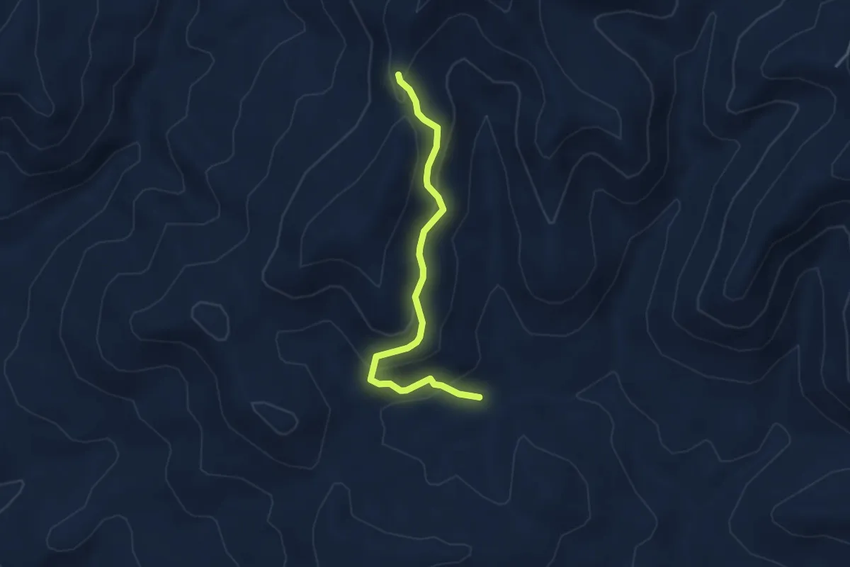
Demanding · Trail
Costa Lupo
4.0 km · ↑ 194 m · 1 h 22 min · 14 km away
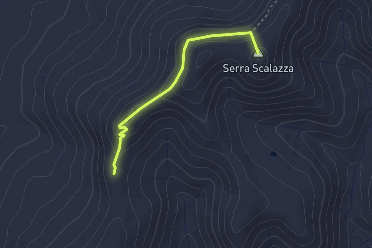
Demanding · Summit
Sentiero Caprara
2.6 km · ↑ 211 m · 1 h 5 min · 14 km away
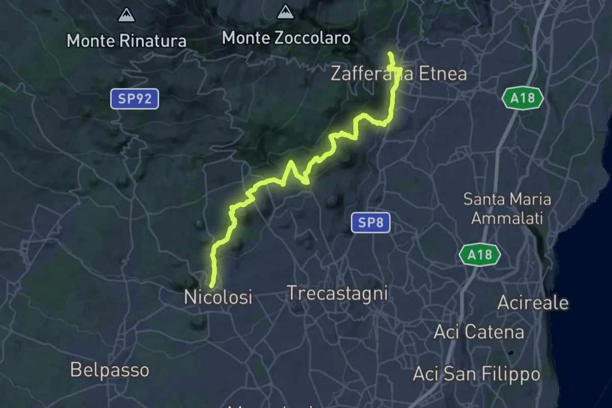
Demanding · Trail
731 - Sentiero delle Ginestre - parte Sud
18.1 km · ↑ 616 m · 5 h 55 min · 15 km away
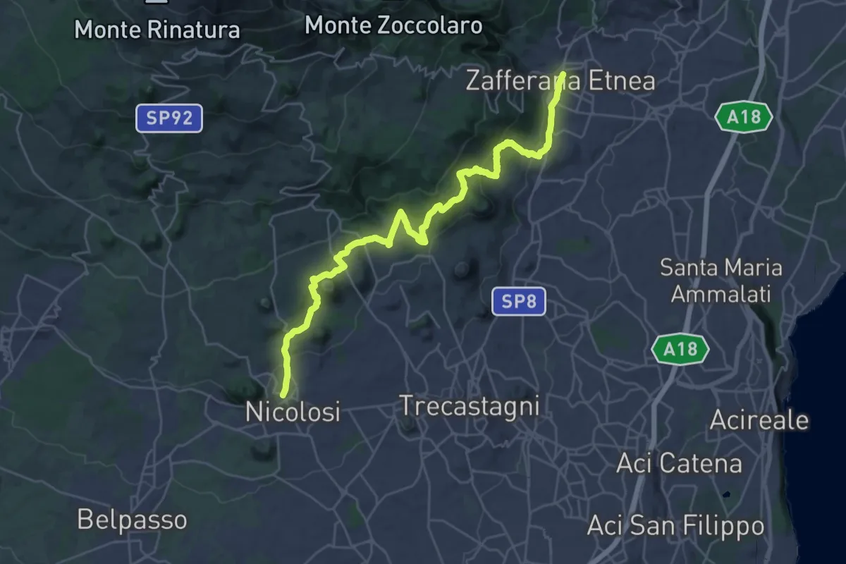
Medium · Trail
Sentiero delle Ginestre tappa 1
17.0 km · ↑ 540 m · 5 h 30 min · 15 km away
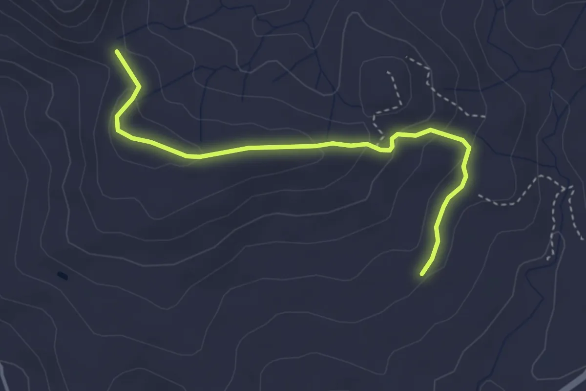
Easy · Trail
Rocce Salinà
4.1 km · ↑ 132 m · 1 h 16 min · 15 km away
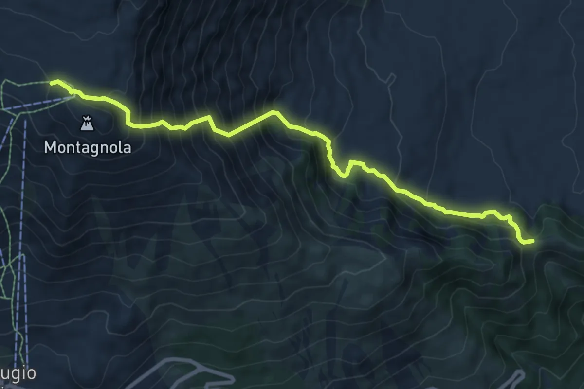
Demanding · Trail
Canalone della Montagnola
9.1 km · ↑ 1036 m · 4 h 24 min · 15 km away