Trails near Bobbio
103 hikes starting within 15 km, nearest first.
Nearest first, page 2 of 3
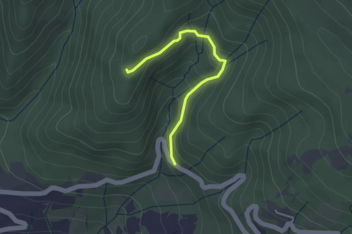
Easy · Trail
Sentiero A6 di Monte Alpe
2.7 km · ↑ 151 m · 58 min · 9 km away
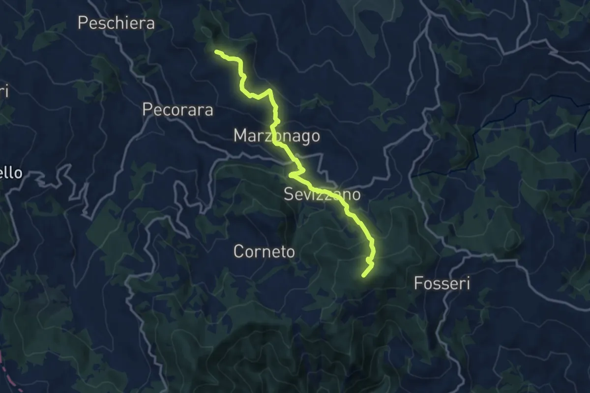
Medium · Summit
Monte Ciarello – Monte Lazzaro
11.6 km · ↑ 755 m · 4 h 23 min · 10 km away
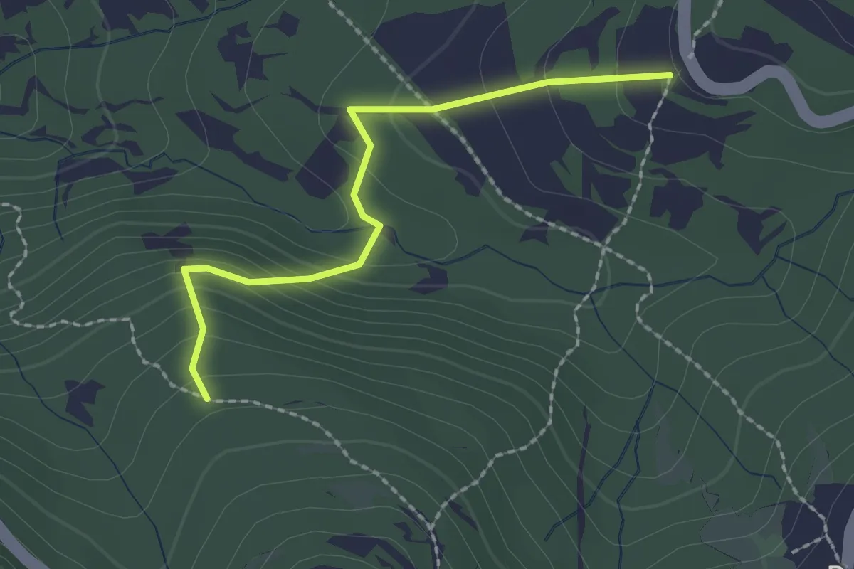
Easy · Trail
Percorso 120 – Percorso 118
2.1 km · ↑ 148 m · 49 min · 10 km away
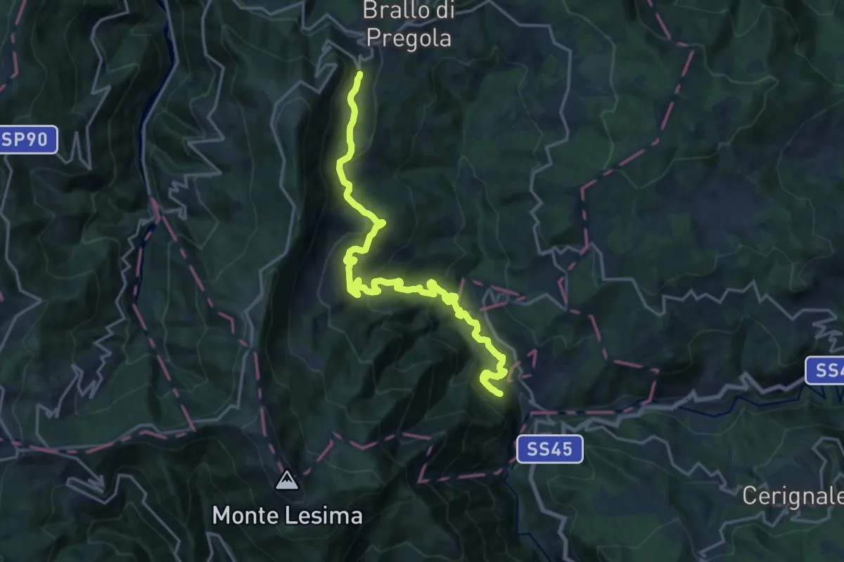
Demanding · Trail
Il Sentiero del paese Fantasma
18.6 km · ↑ 927 m · 6 h 24 min · 10 km away
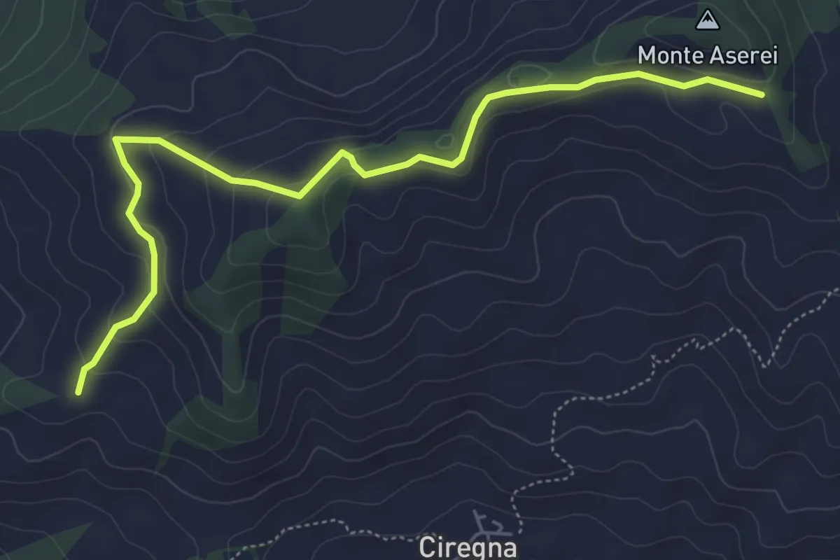
Easy · Trail
Fontana Marenga – Percorso 027 pendici sud-est Monte Aserei
6.2 km · ↑ 215 m · 1 h 56 min · 10 km away
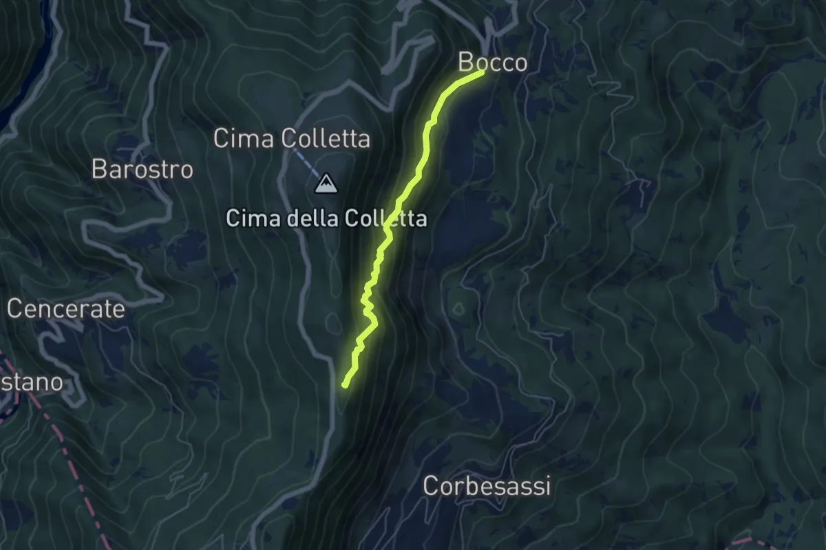
Medium · Trail
Bocco – Sentiero CAI 101
4.8 km · ↑ 478 m · 2 h 10 min · 10 km away
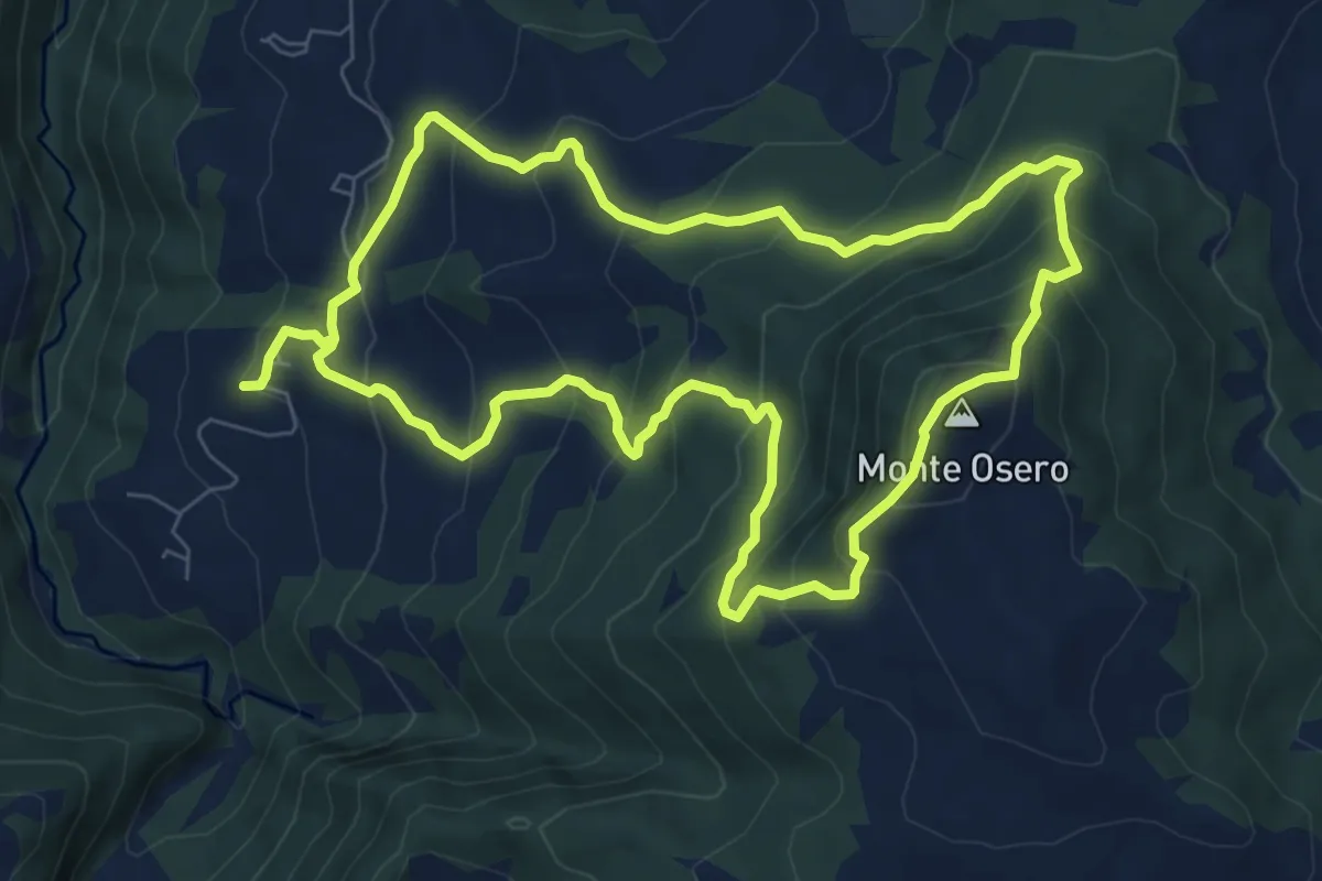
Medium · Summit
Chiesa di Calenzano – Chiesa di Calenzano
7.9 km · ↑ 607 m · 3 h 17 min · 10 km away
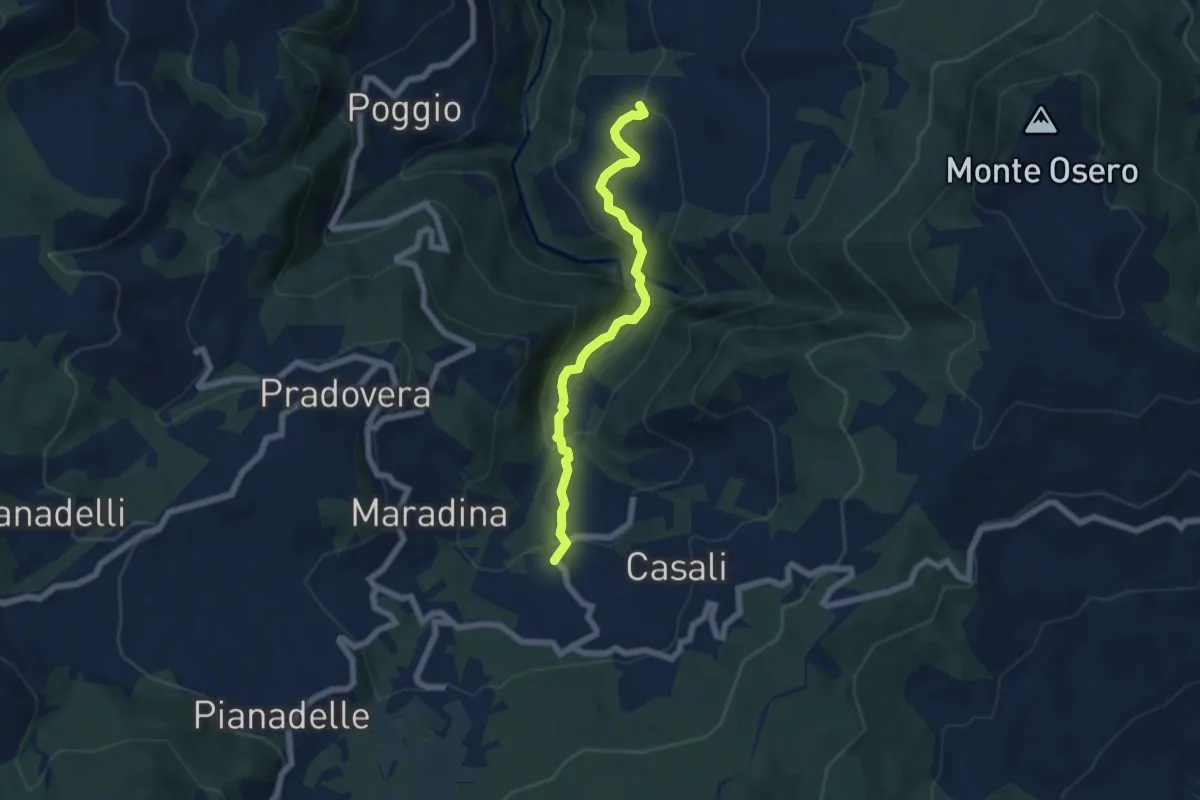
Easy · Trail
Colla – Chiesa di Calenzano
6.1 km · ↑ 302 m · 2 h 6 min · 10 km away
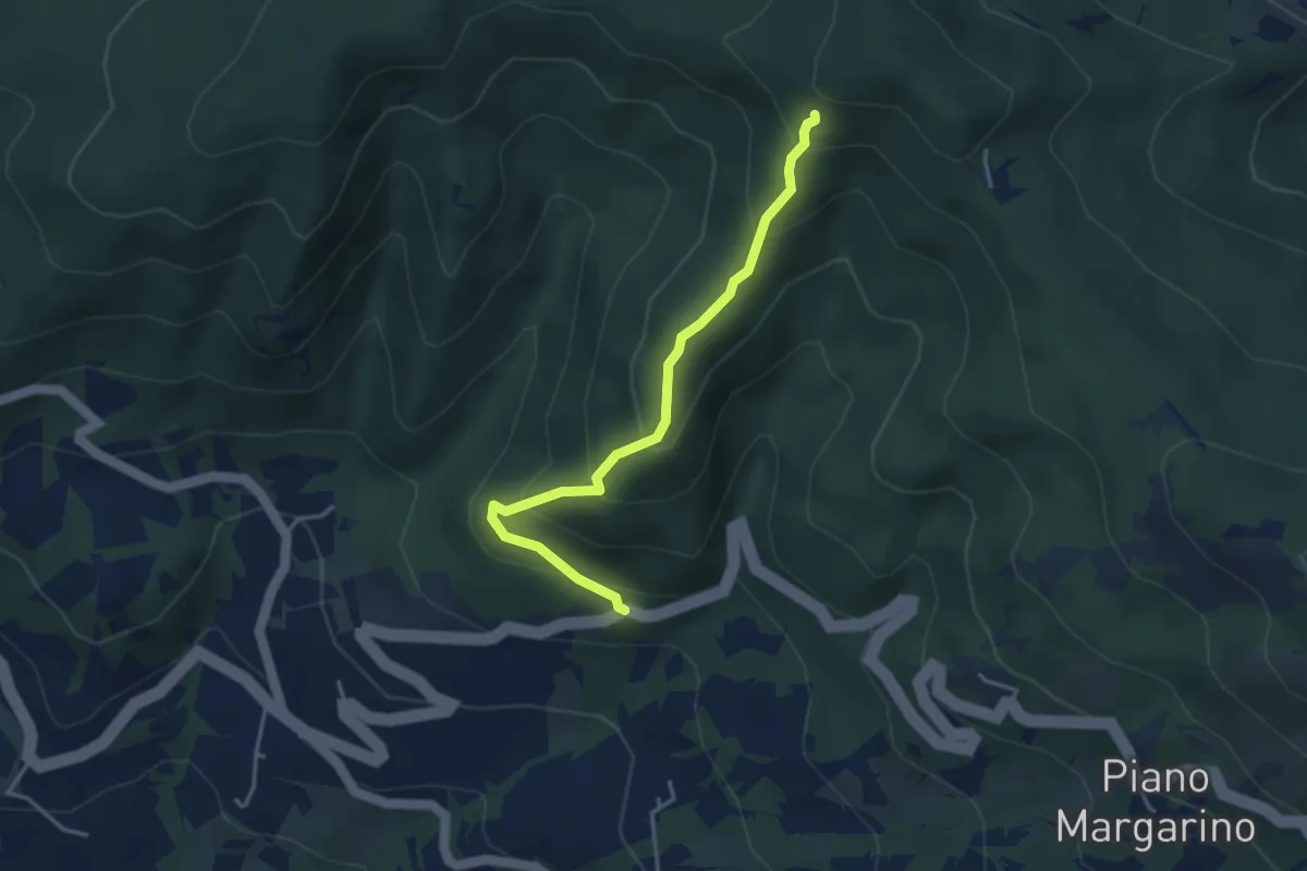
Medium · Trail
Sentiero A7 di Monte Alpe ( Sentiero del Bricchetto)
3.8 km · ↑ 328 m · 1 h 36 min · 10 km away
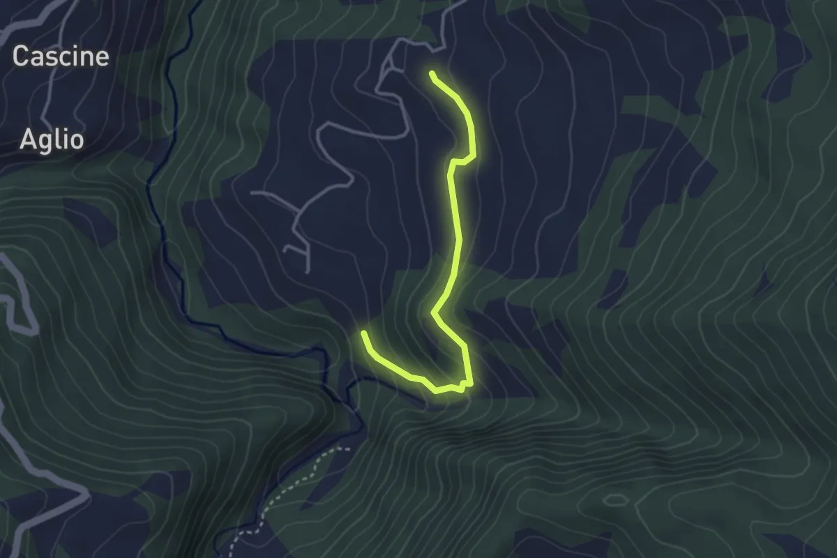
Medium · Trail
Raccordo
3.1 km · ↑ 172 m · 1 h 6 min · 10 km away
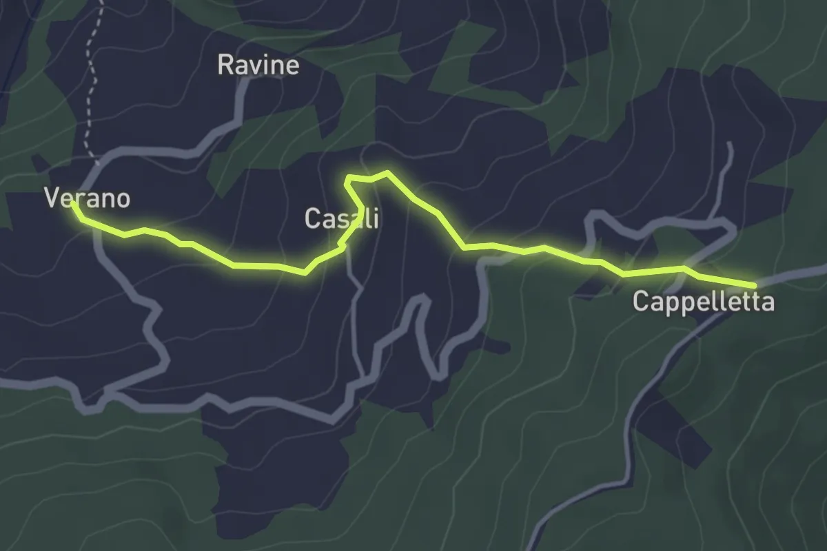
Easy · Trail
Verano – Passo della Cappelletta
3.9 km · ↑ 228 m · 1 h 24 min · 10 km away
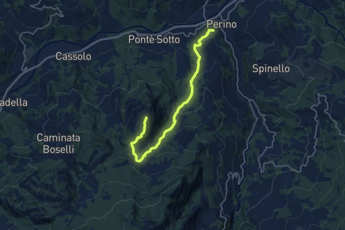
Medium · Summit
Percorso 151 – Percorso 163
13.3 km · ↑ 676 m · 4 h 37 min · 10 km away
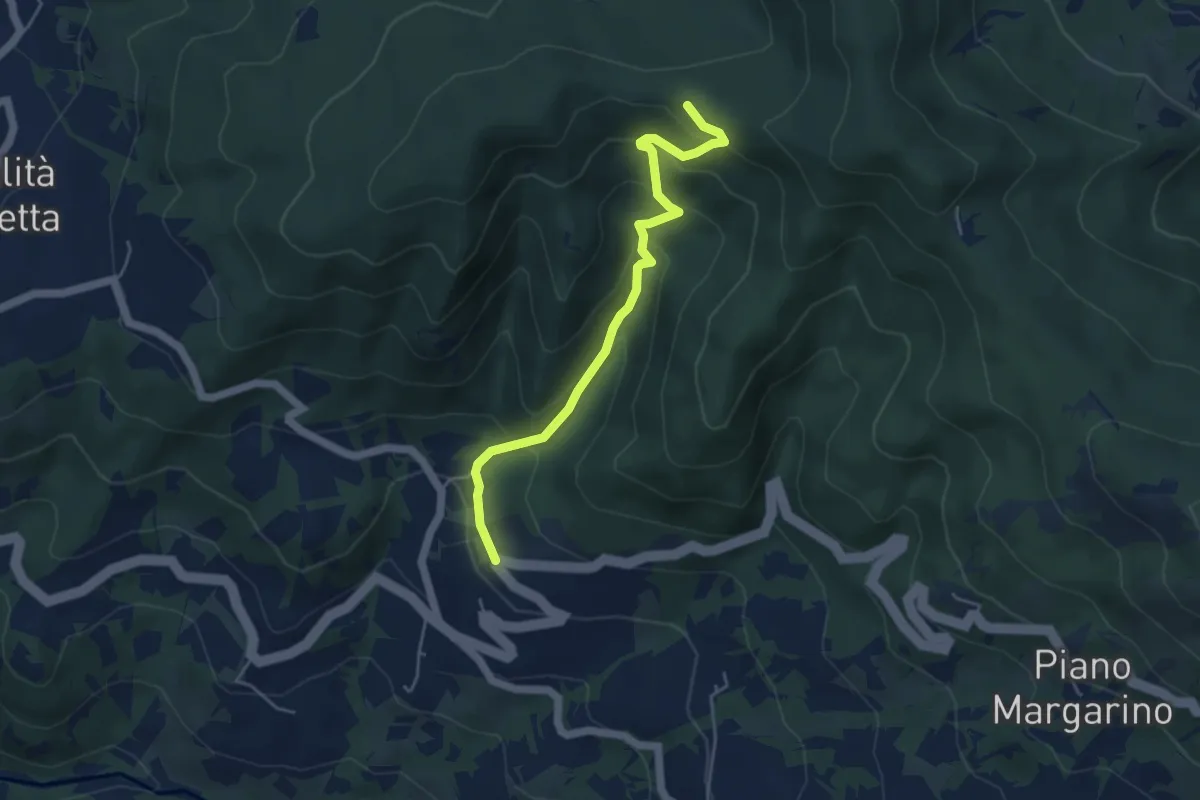
Easy · Trail
Sentiero A8 di Monte Alpe
4.8 km · ↑ 304 m · 1 h 47 min · 11 km away
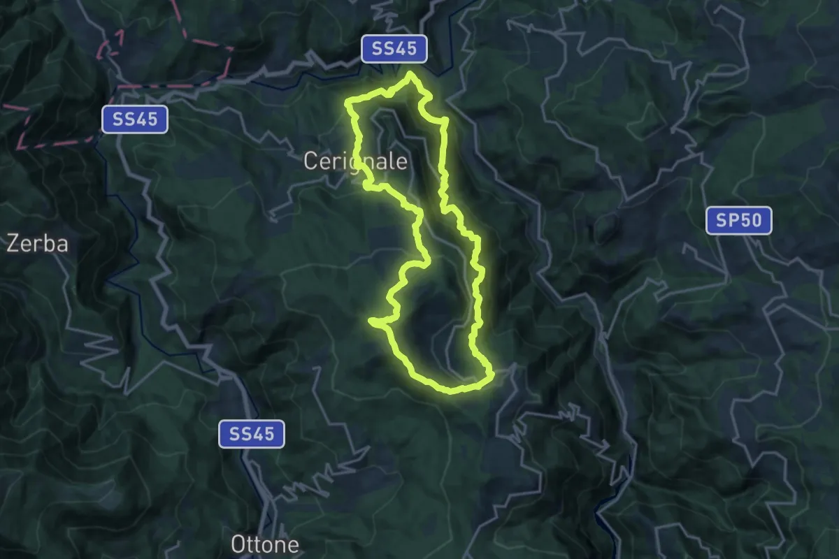
Demanding · Summit
SL14 – Il sentiero di Gaspare
15.9 km · ↑ 1136 m · 6 h 25 min · 11 km away
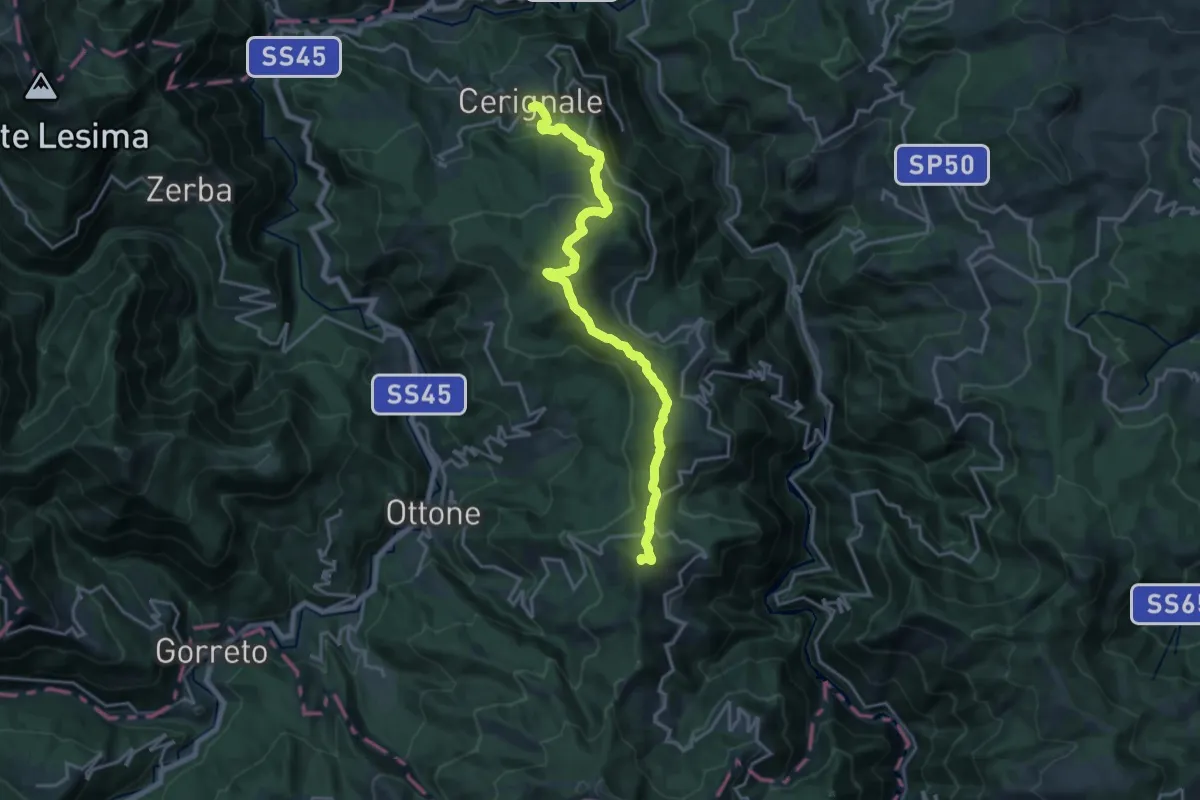
Demanding · Summit
Cerignale – Monte Veri
19.8 km · ↑ 930 m · 6 h 41 min · 11 km away
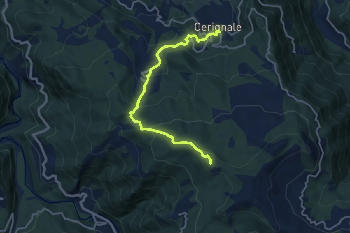
Medium · Summit
Cerignale – Monte delle Tane
9.4 km · ↑ 508 m · 3 h 20 min · 11 km away
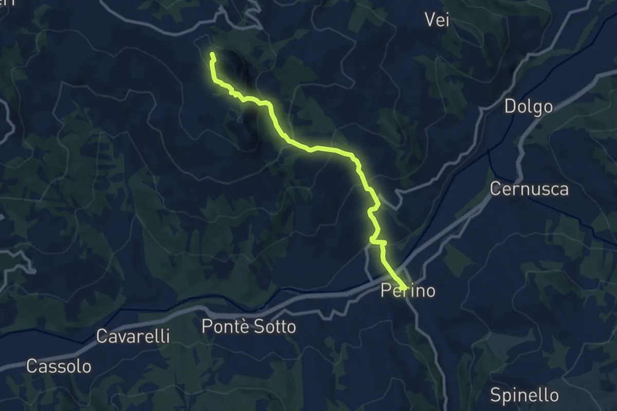
Medium · Trail
Perino – Passo Caldarola
9.2 km · ↑ 567 m · 3 h 24 min · 11 km away
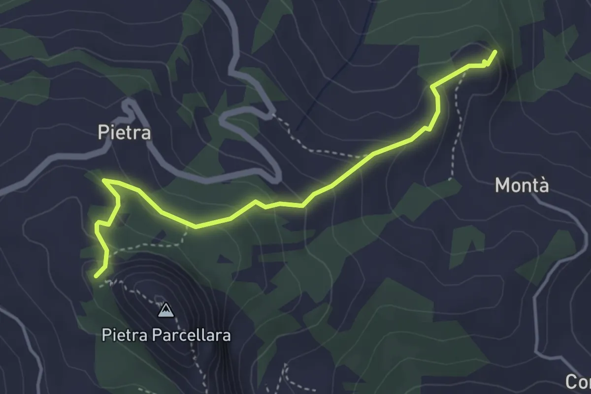
Easy · Summit
Pietra Perduca – Oratorio di Pietra Parcellara
4.0 km · ↑ 232 m · 1 h 27 min · 11 km away
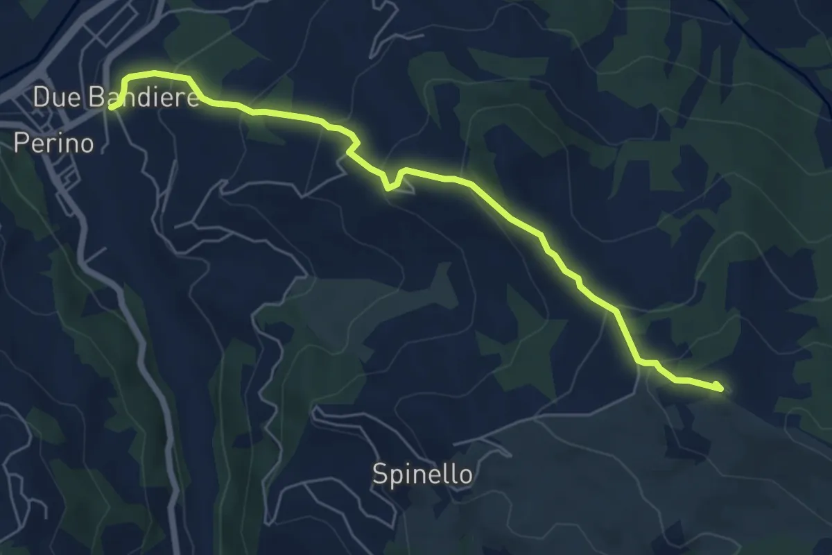
Medium · Summit
Due Bandiere – Passo Pia
6.1 km · ↑ 379 m · 2 h 16 min · 11 km away
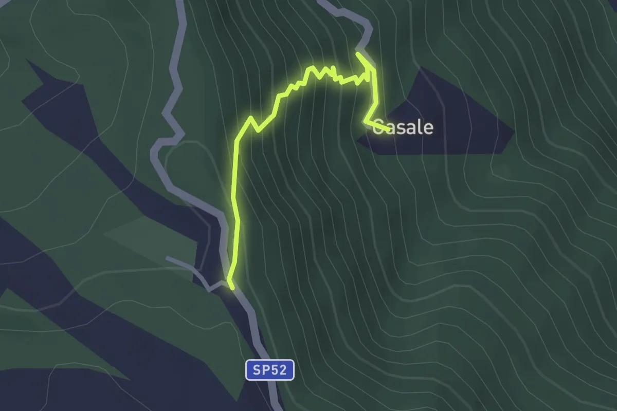
Easy · Trail
Casale – Le Piane
2.3 km · ↑ 281 m · 1 h 9 min · 11 km away
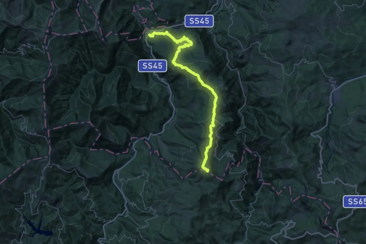
Demanding · Summit
Antica Via del Cifalco - Percorso principale
40.2 km · ↑ 1862 m · 13 h 32 min · 11 km away
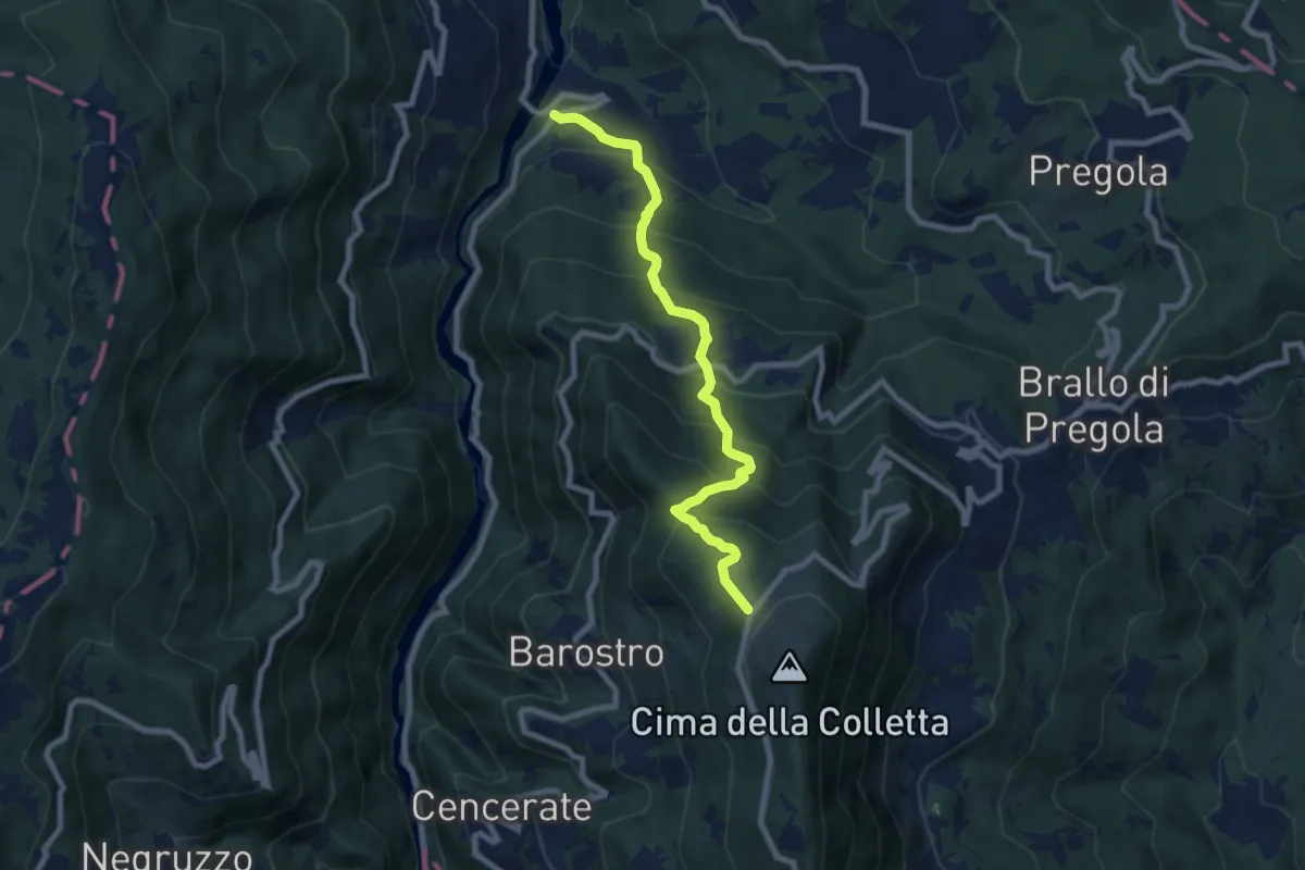
Medium · Trail
Fego – Rifugio Nassano
8.1 km · ↑ 739 m · 3 h 31 min · 11 km away
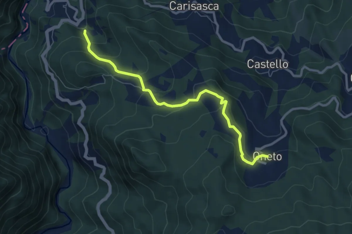
Medium · Trail
Antica Via del Cifalco - variante Abrà/Serra
6.7 km · ↑ 330 m · 2 h 18 min · 11 km away
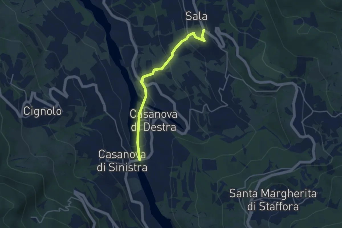
Easy · Trail
Casanova di Destra – Sala
3.3 km · ↑ 153 m · 1 h 7 min · 12 km away
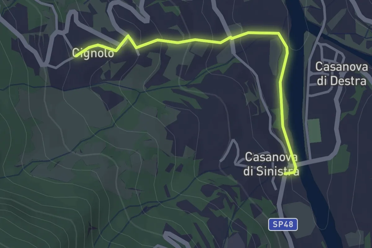
Easy · Trail
Casanova di Sinistra – Cignolo
3.0 km · ↑ 150 m · 1 h 2 min · 12 km away
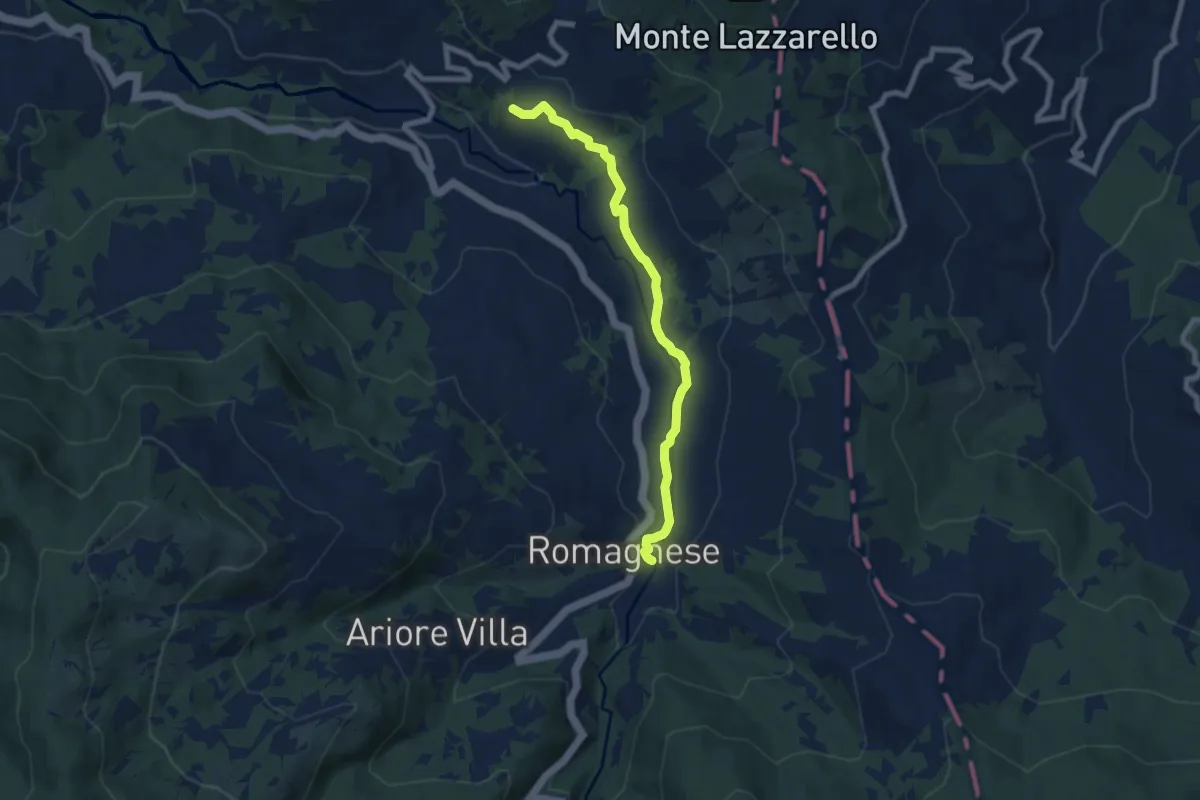
Easy · Trail
Romagnese – Cà Casarini
7.4 km · ↑ 127 m · 2 h 1 min · 12 km away
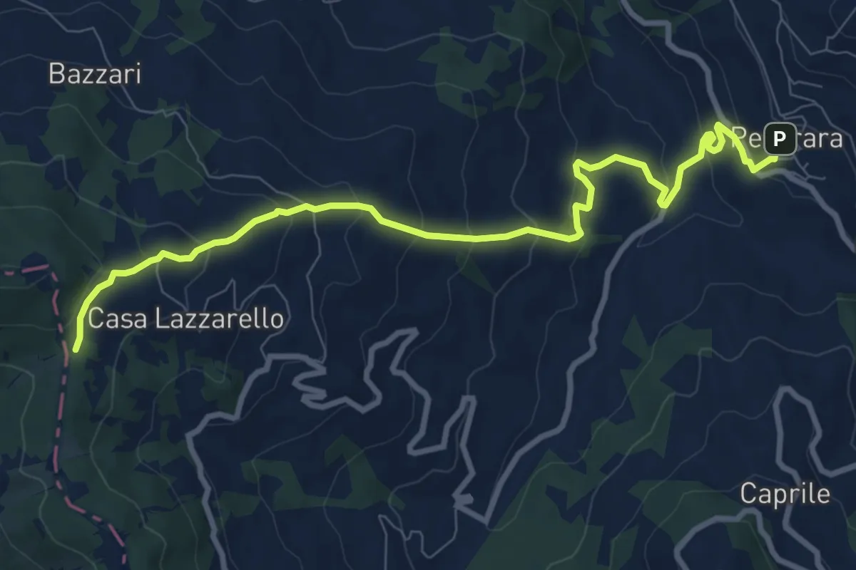
Medium · Trail
Pecorara – Percorso Via degli Abati
9.8 km · ↑ 528 m · 3 h 27 min · 12 km away
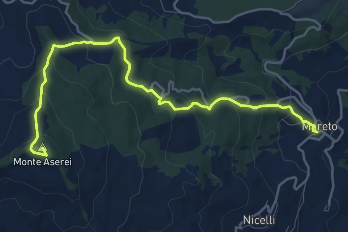
Medium · Summit
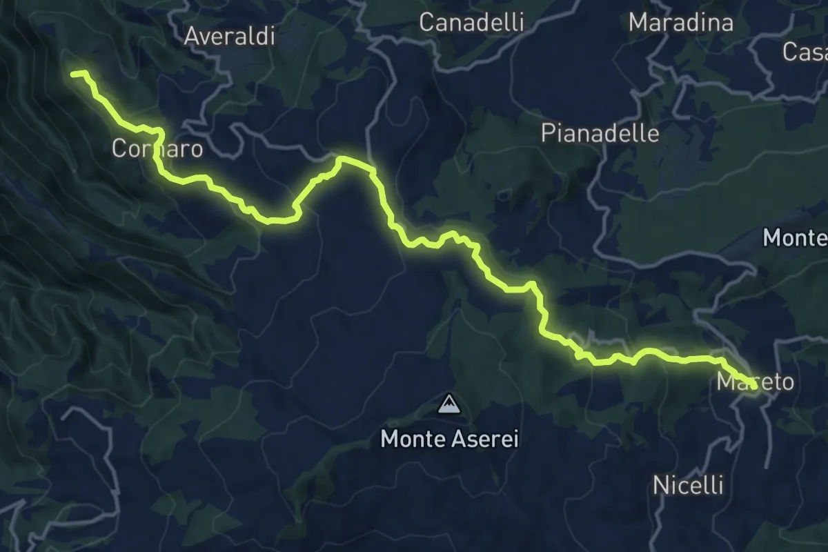
Mareto – Percorso 001
10.1 km · ↑ 500 m · 3 h 28 min · 12 km away
Demanding · Summit
Sentiero dei Celti e dei Liguri - tappa 5
19.1 km · ↑ 796 m · 6 h 14 min · 12 km away
Medium · Summit
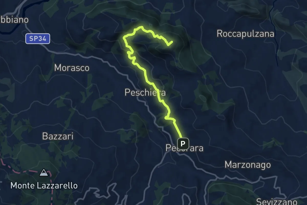
Pecorara – Casa del Diavolo
10.9 km · ↑ 570 m · 3 h 48 min · 12 km away
Medium · Cabin
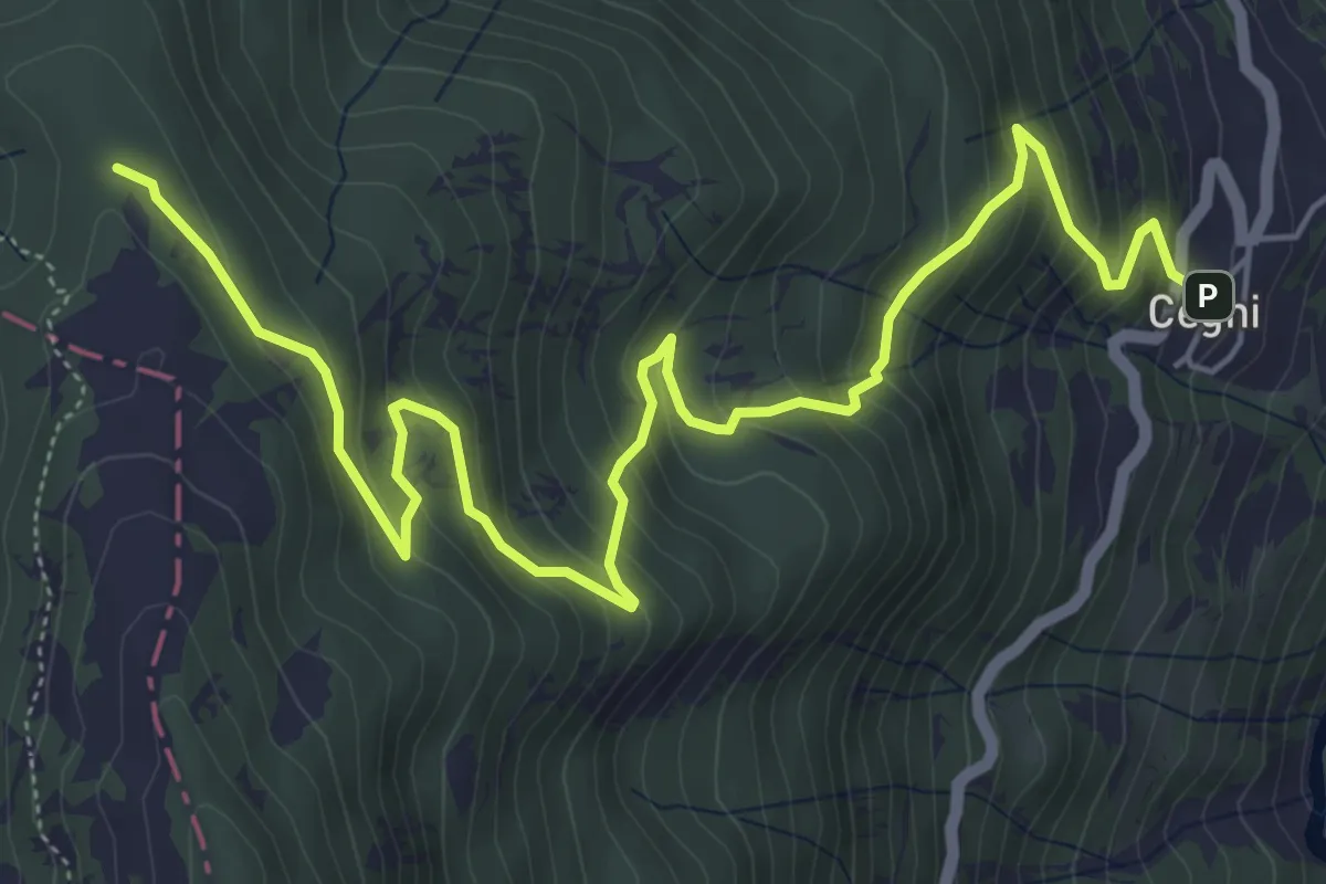
Cegni – Rifugio Pian della Mora
7.7 km · ↑ 536 m · 2 h 59 min · 12 km away
Easy · Trail
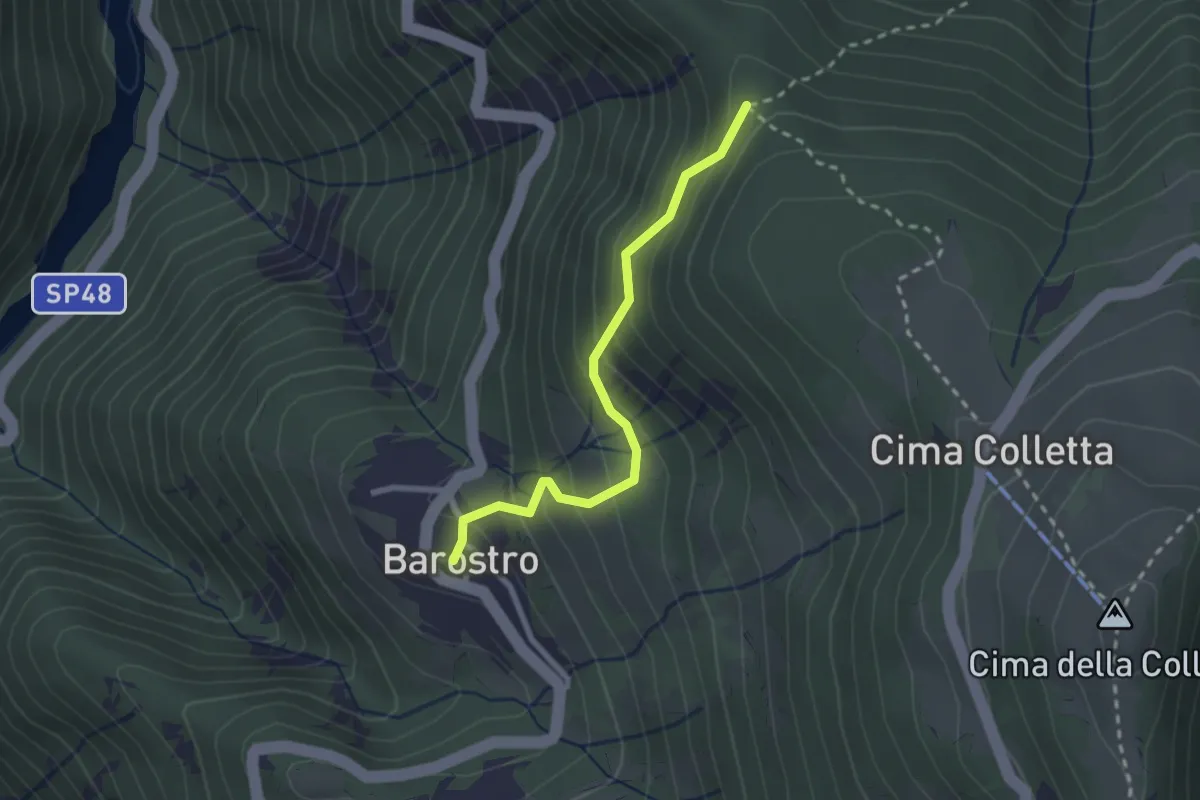
Barostro – Incrocio sentiero CAI 105
2.4 km · ↑ 213 m · 1 h 2 min · 12 km away
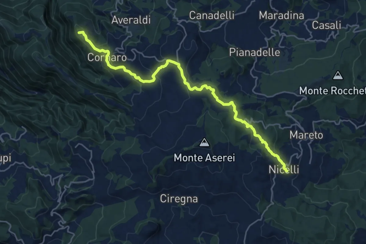
Demanding · Summit
Via degli Abati: Tappa 4
19.0 km · ↑ 705 m · 6 h · 12 km away
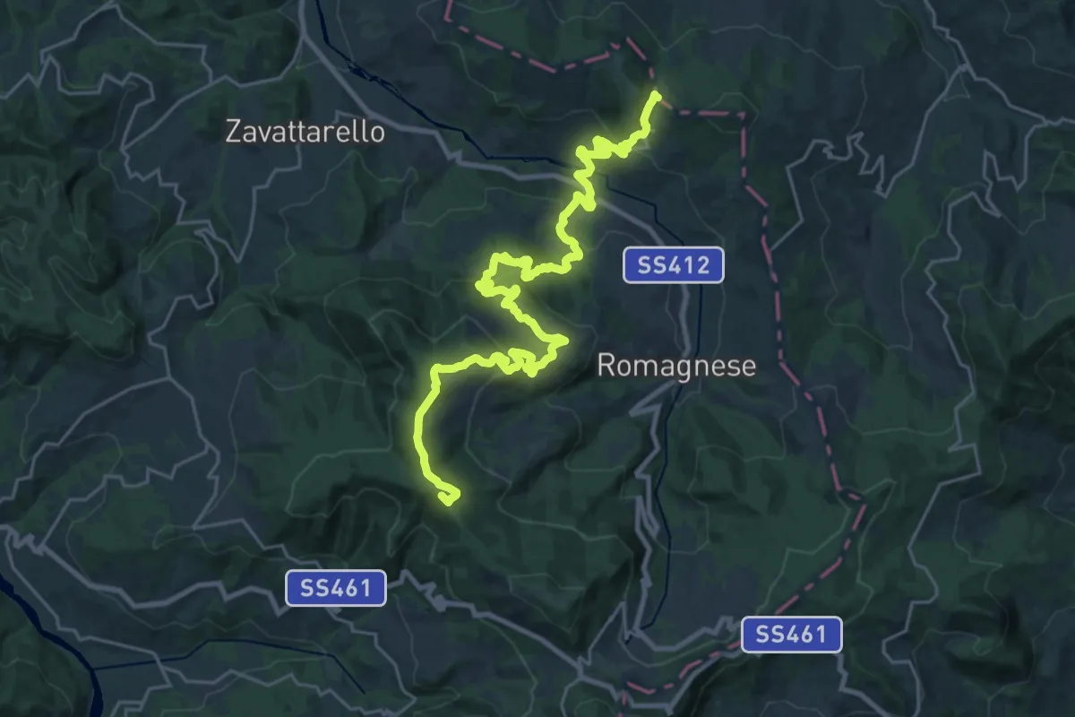
Demanding · Summit
Casa Matti – Incrocio Pian del Poggio
30.0 km · ↑ 1251 m · 9 h 47 min · 12 km away
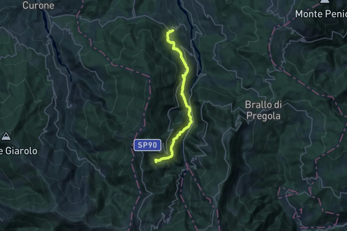
Demanding · Trail
Cignolo – Negruzzo
17.5 km · ↑ 1125 m · 6 h 34 min · 13 km away
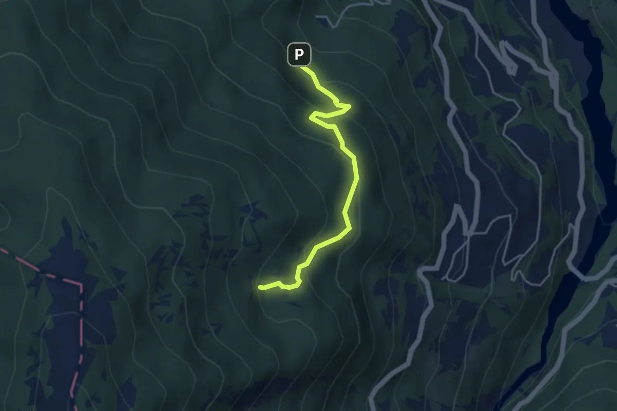
Easy · Cabin
Percorso 108 – Pian della Ciappa CAI 113
3.5 km · ↑ 210 m · 1 h 17 min · 13 km away
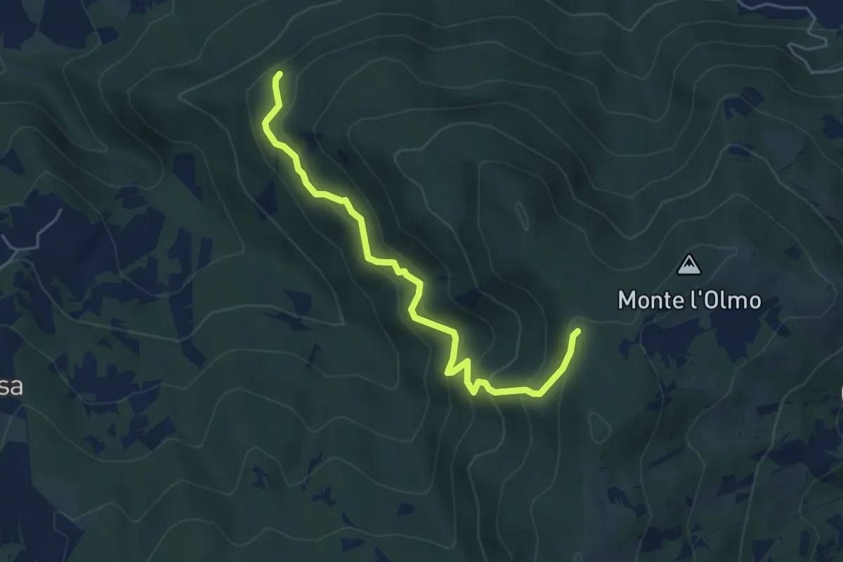
Medium · Trail
Incrocio CAI 208 – Incrocio CAI 208
5.1 km · ↑ 414 m · 2 h 6 min · 13 km away
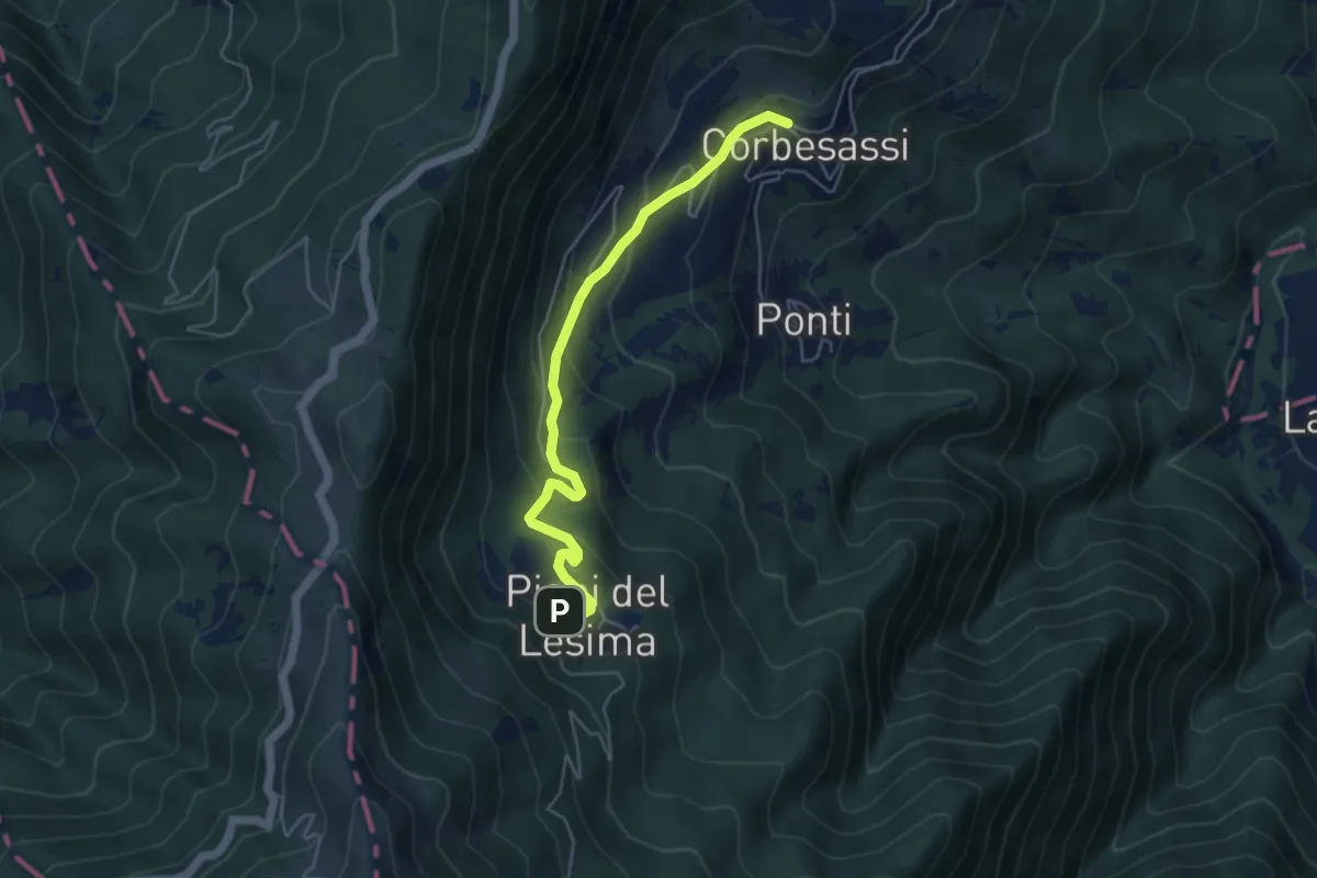
Easy · Trail
Corbesassi – Piani del Lesima
5.0 km · ↑ 289 m · 1 h 48 min · 13 km away
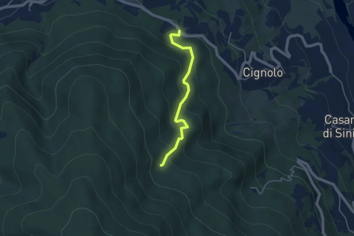
Easy · Trail
Incrocio per Cignolo – CAI 108
3.1 km · ↑ 274 m · 1 h 20 min · 13 km away
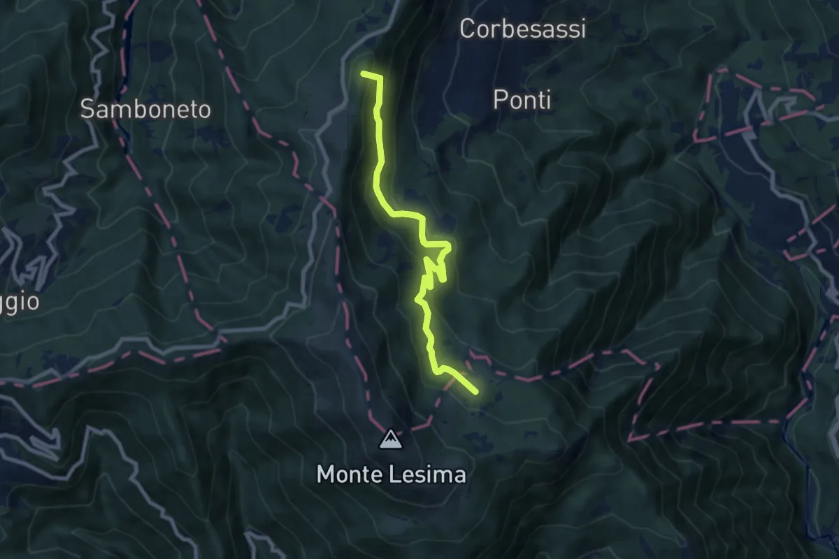
Medium · Summit
Sella La Colla – Sentiero 123 CAI Piacenza
7.8 km · ↑ 523 m · 2 h 59 min · 13 km away
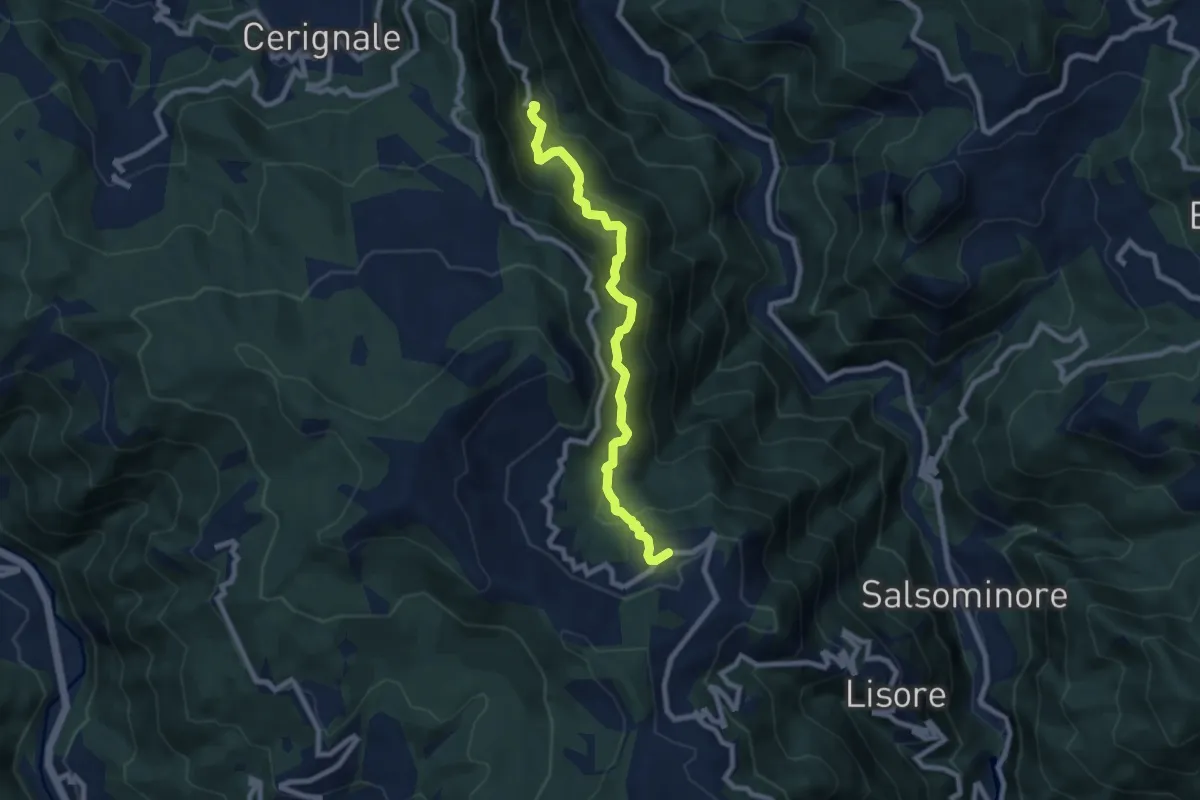
Medium · Trail
Casale – Cariseto
8.1 km · ↑ 618 m · 3 h 15 min · 14 km away
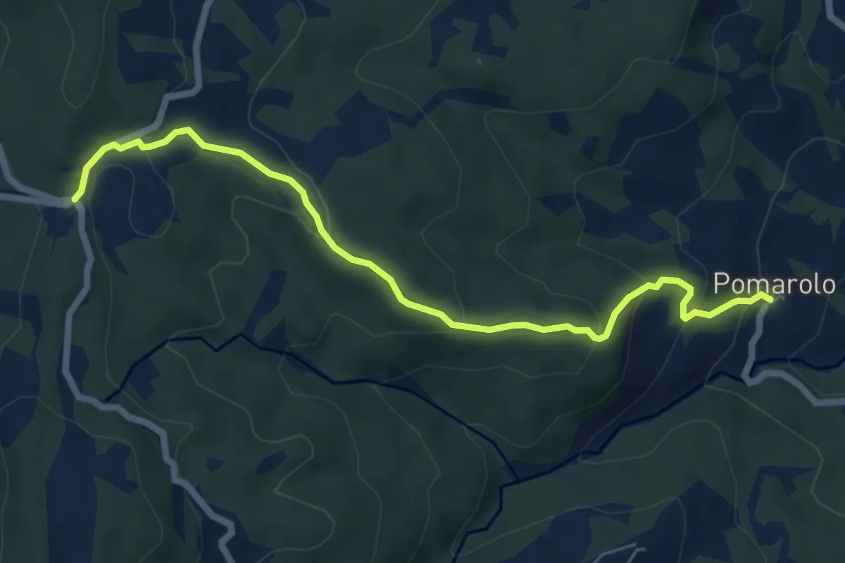
Medium · Trail
Pomarolo – Passo del Mercatello
6.3 km · ↑ 332 m · 2 h 12 min · 14 km away
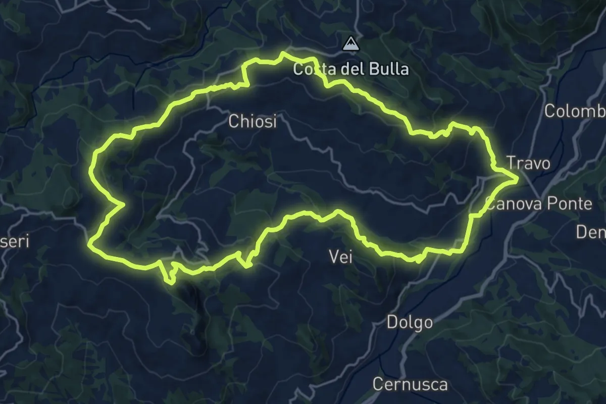
Demanding · Summit
Trail delle Pietre
21.4 km · ↑ 866 m · 7 h 14 min · 14 km away
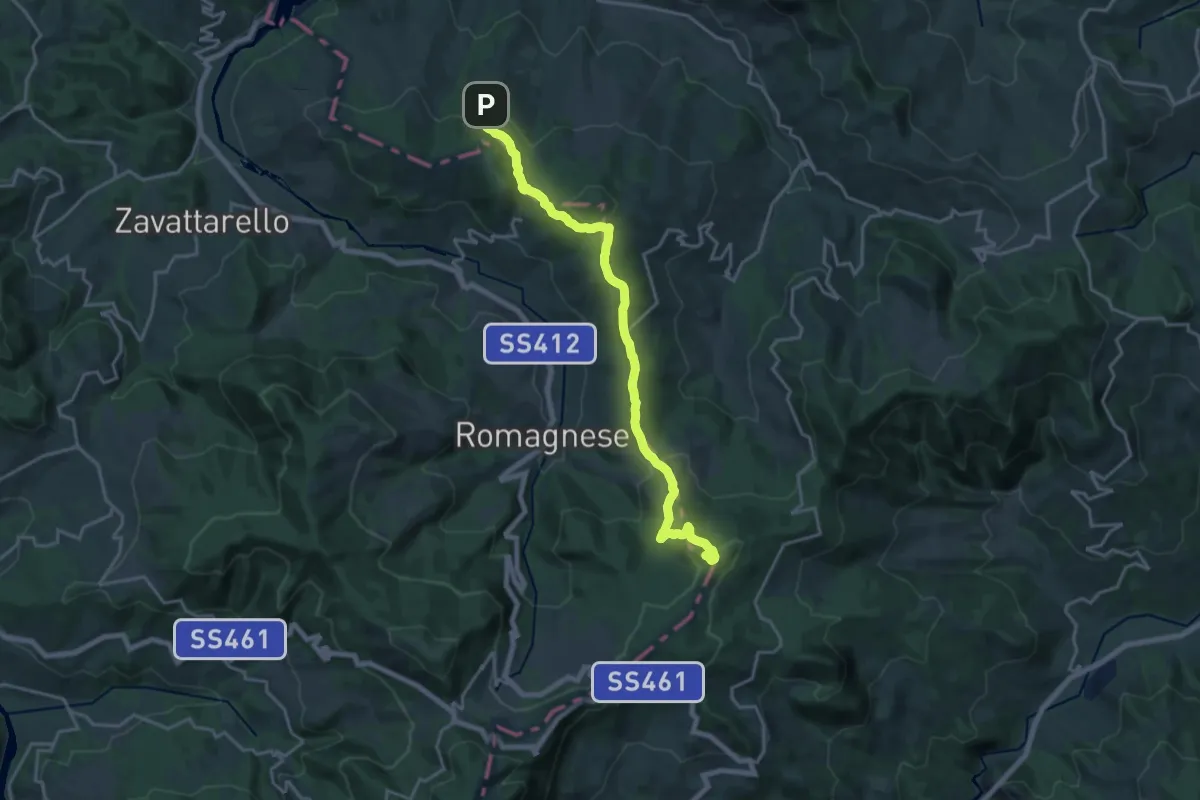
Demanding · Summit
Sentiero dei Celti e dei Liguri - tappa 4
19.7 km · ↑ 608 m · 5 h 58 min · 14 km away
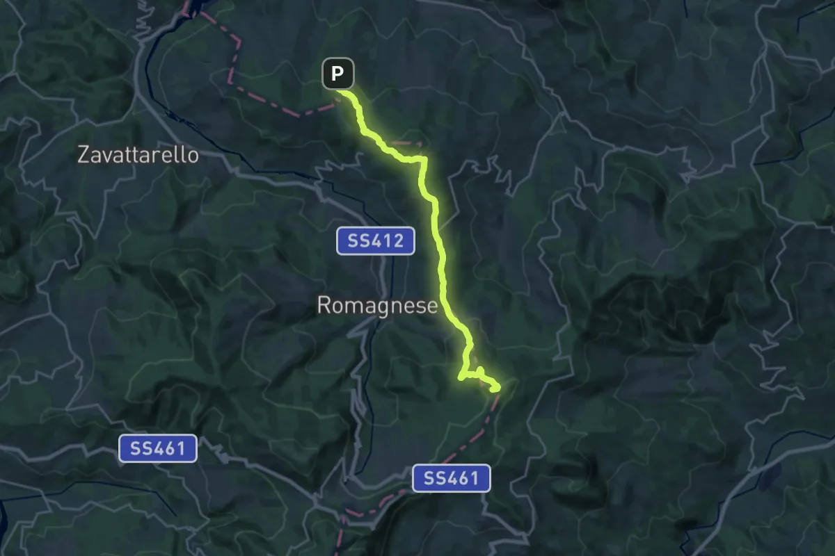
Demanding · Summit
Via degli Abati: Tappa 3
19.4 km · ↑ 602 m · 5 h 53 min · 14 km away
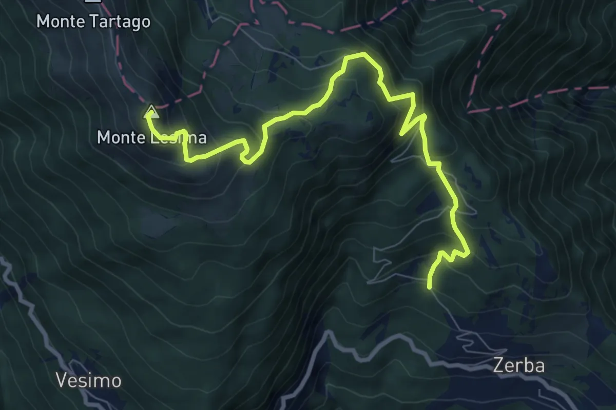
Demanding · Summit
Cerreto – Monte Lesima
8.8 km · ↑ 844 m · 3 h 54 min · 14 km away
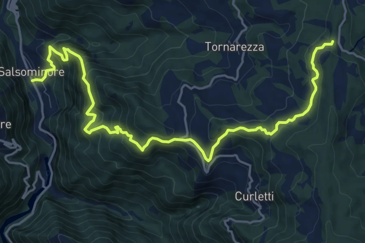
Demanding · Trail
Salsominore – Percorso 001
14.5 km · ↑ 1036 m · 5 h 40 min · 14 km away
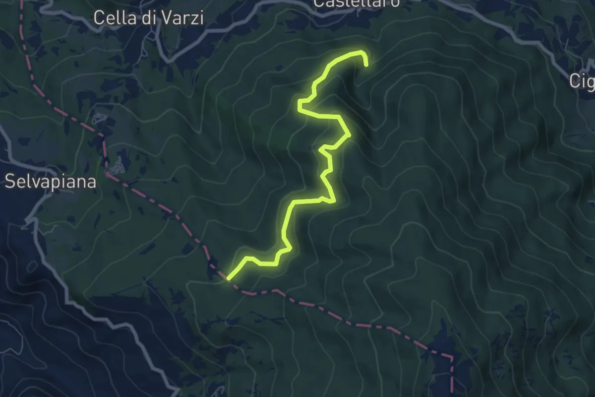
Medium · Trail
Acquedotto di Castellaro – Fontana Pian dei Laghi
7.0 km · ↑ 408 m · 2 h 32 min · 14 km away