Trails near Bojano
47 hikes starting within 15 km, nearest first.
Nearest first
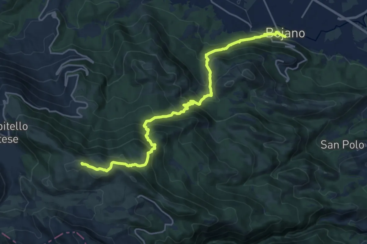
Demanding · Summit
Bojano – Campitello Matese
17.2 km · ↑ 1228 m · 6 h 43 min · under 1 km away
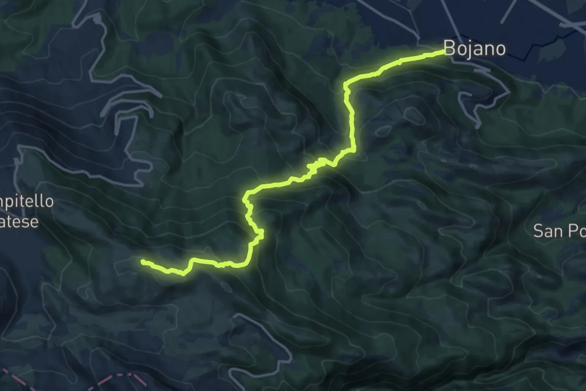
Demanding · Summit
Bretella della Transumanza
16.0 km · ↑ 1229 m · 6 h 26 min · under 1 km away
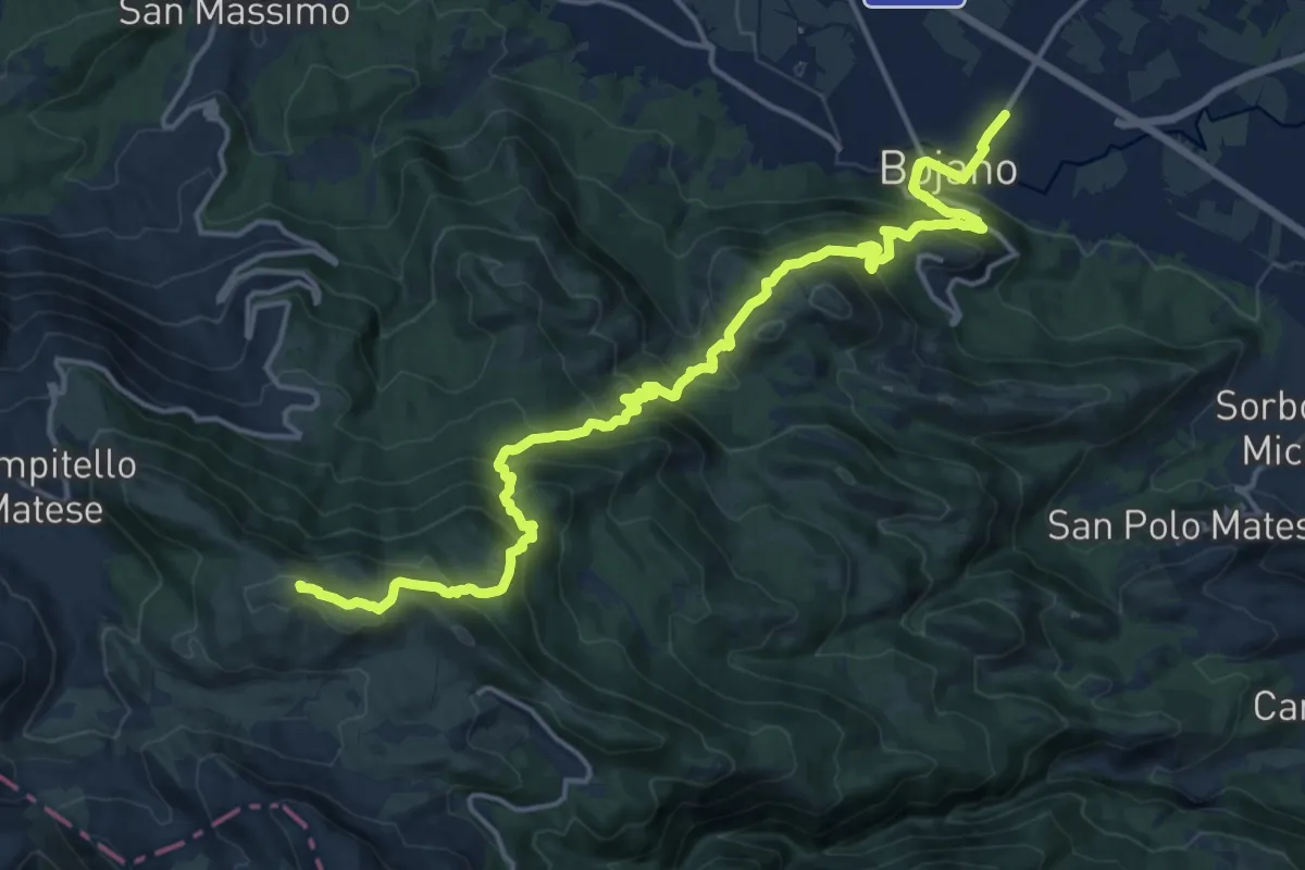
Demanding · Summit
Cammino degli Stanghi -2-
21.0 km · ↑ 1403 m · 7 h 59 min · 1 km away
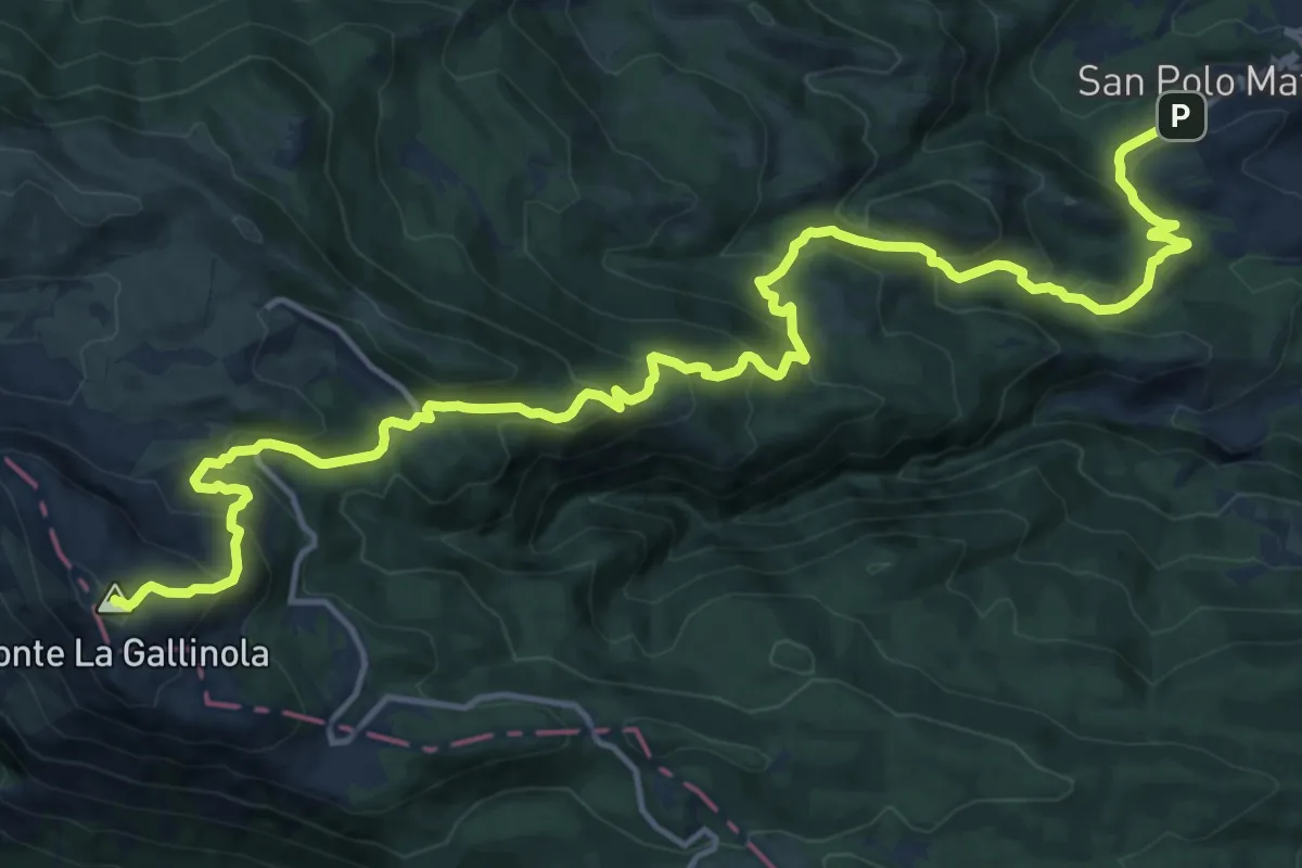
Demanding · Summit
Cima La Gallinola – San Polo Matese
21.2 km · ↑ 1334 m · 7 h 54 min · 3 km away
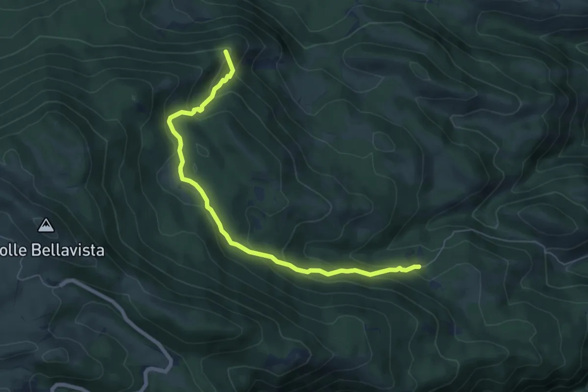
Medium · Summit
Pianelle – Fonte Santa Maria
6.8 km · ↑ 388 m · 2 h 27 min · 4 km away
Easy · Trail
Cammino dell'Acqua
2.2 km · ↑ 4 m · 32 min · 5 km away
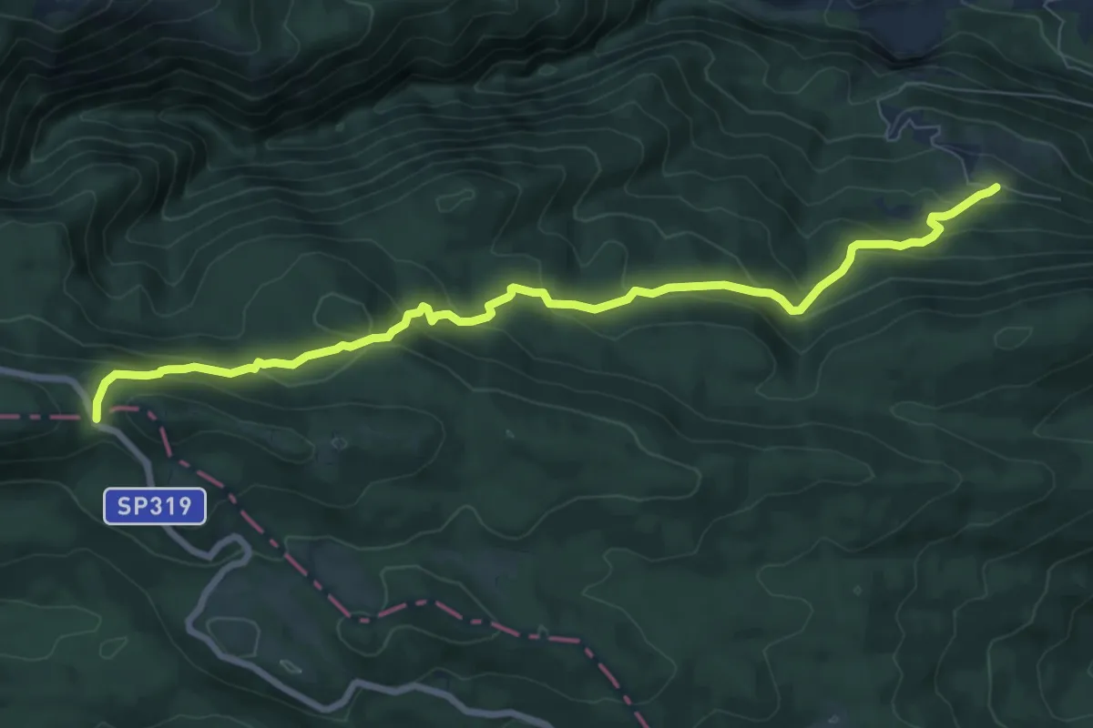
Medium · Trail
Rifugio Fonte Francone – Sogliette degli Abeti
9.3 km · ↑ 551 m · 3 h 23 min · 6 km away
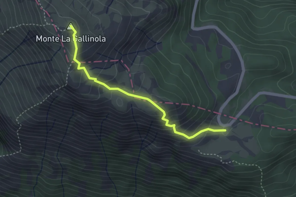
Demanding · Summit
Gallinola – Piano Della Corte
3.7 km · ↑ 282 m · 1 h 29 min · 7 km away
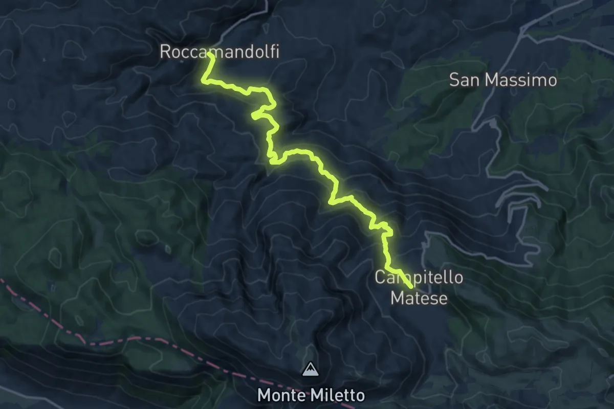
Demanding · Trail
Campitello Matese – Roccamandolfi
16.8 km · ↑ 964 m · 6 h 4 min · 7 km away
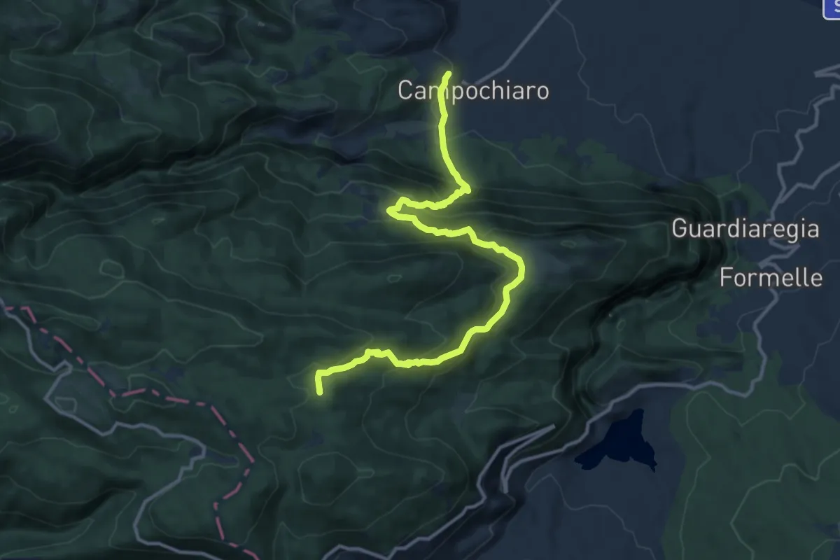
Demanding · Trail
Campochiaro – Abbisso Cul di Bove
13.9 km · ↑ 872 m · 5 h 10 min · 7 km away
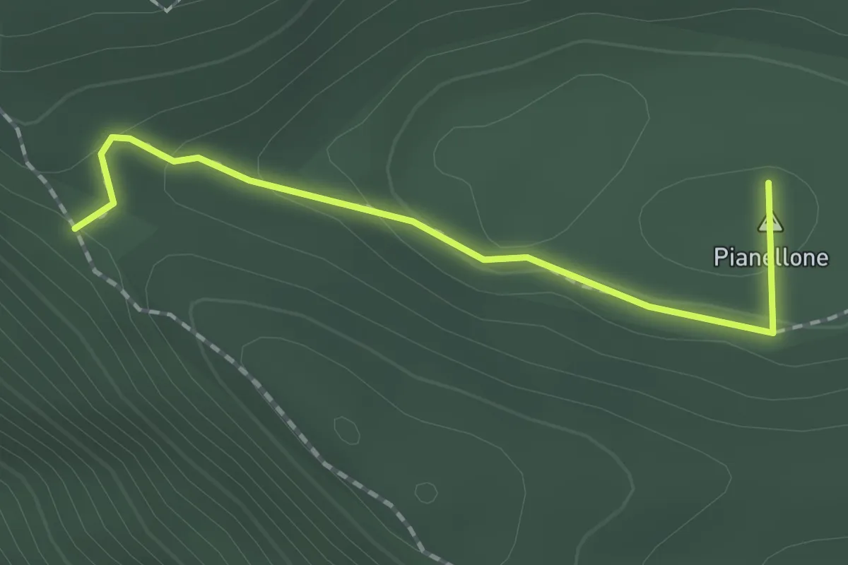
Easy · Summit
Piano Della Corte – Pianellone
1.8 km · ↑ 43 m · 31 min · 8 km away
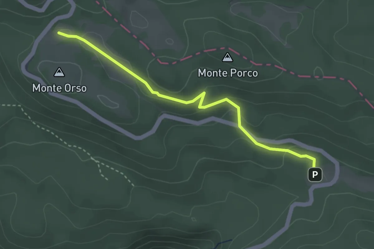
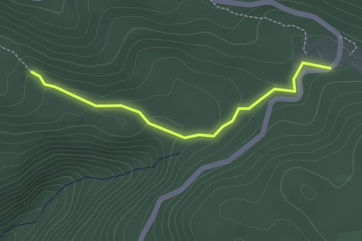
Easy · Cabin
Valle Santa Maria – Rifugio Vallatari
3.5 km · ↑ 121 m · 1 h 6 min · 8 km away
Easy · Cabin
Pianellone – Valle Santa Maria
2.4 km · ↑ 71 m · 43 min · 8 km away
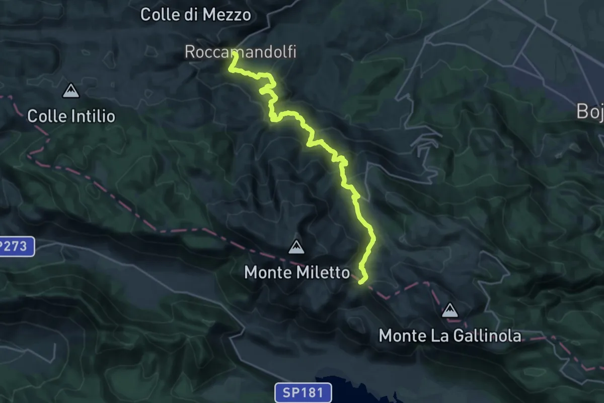
Demanding · Trail
Roccamandolfi – Colle del Monaco
22.6 km · ↑ 1169 m · 7 h 53 min · 8 km away
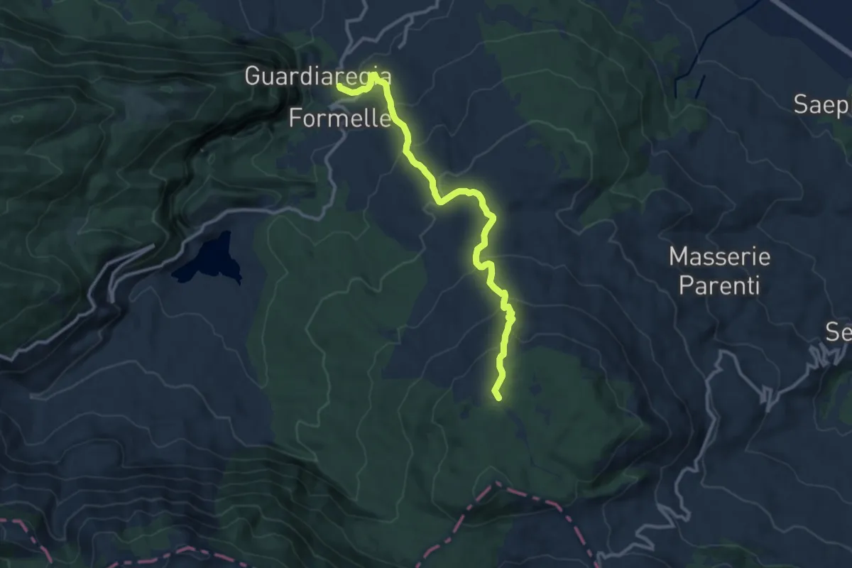
Medium · Trail
Guardiaregia – Campitello di Sepino
11.8 km · ↑ 660 m · 4 h 13 min · 8 km away
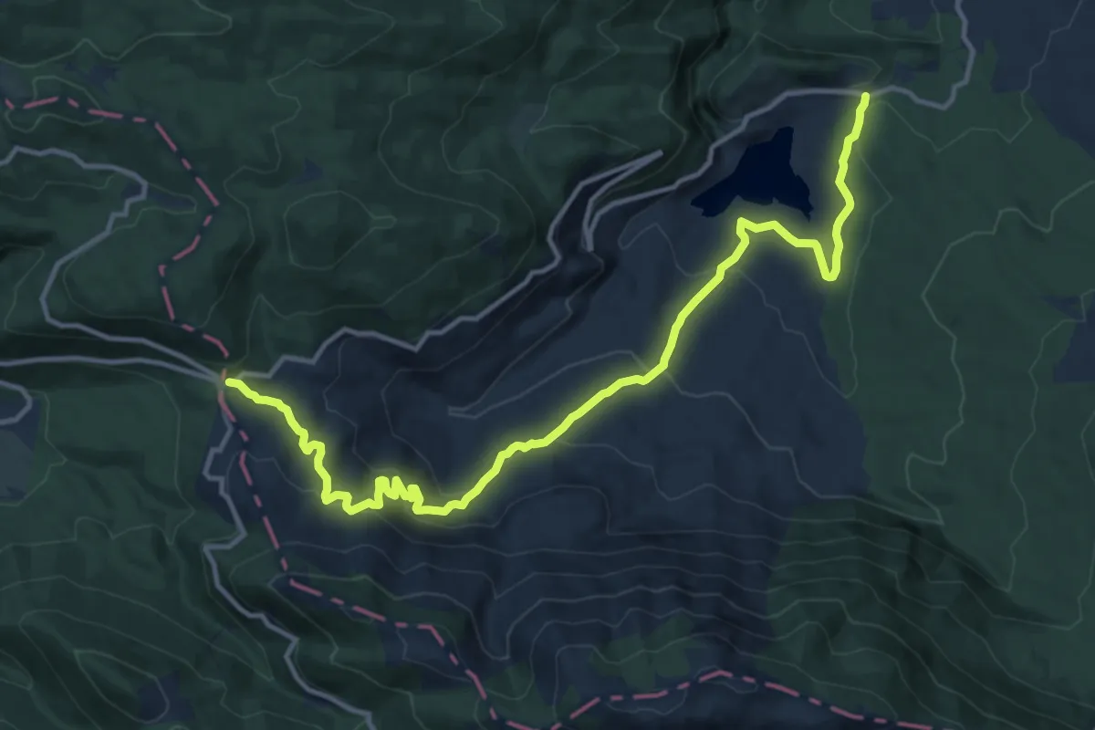
Medium · Cabin
Fonte San Nicola – Sella del Perrone
16.2 km · ↑ 711 m · 5 h 23 min · 9 km away
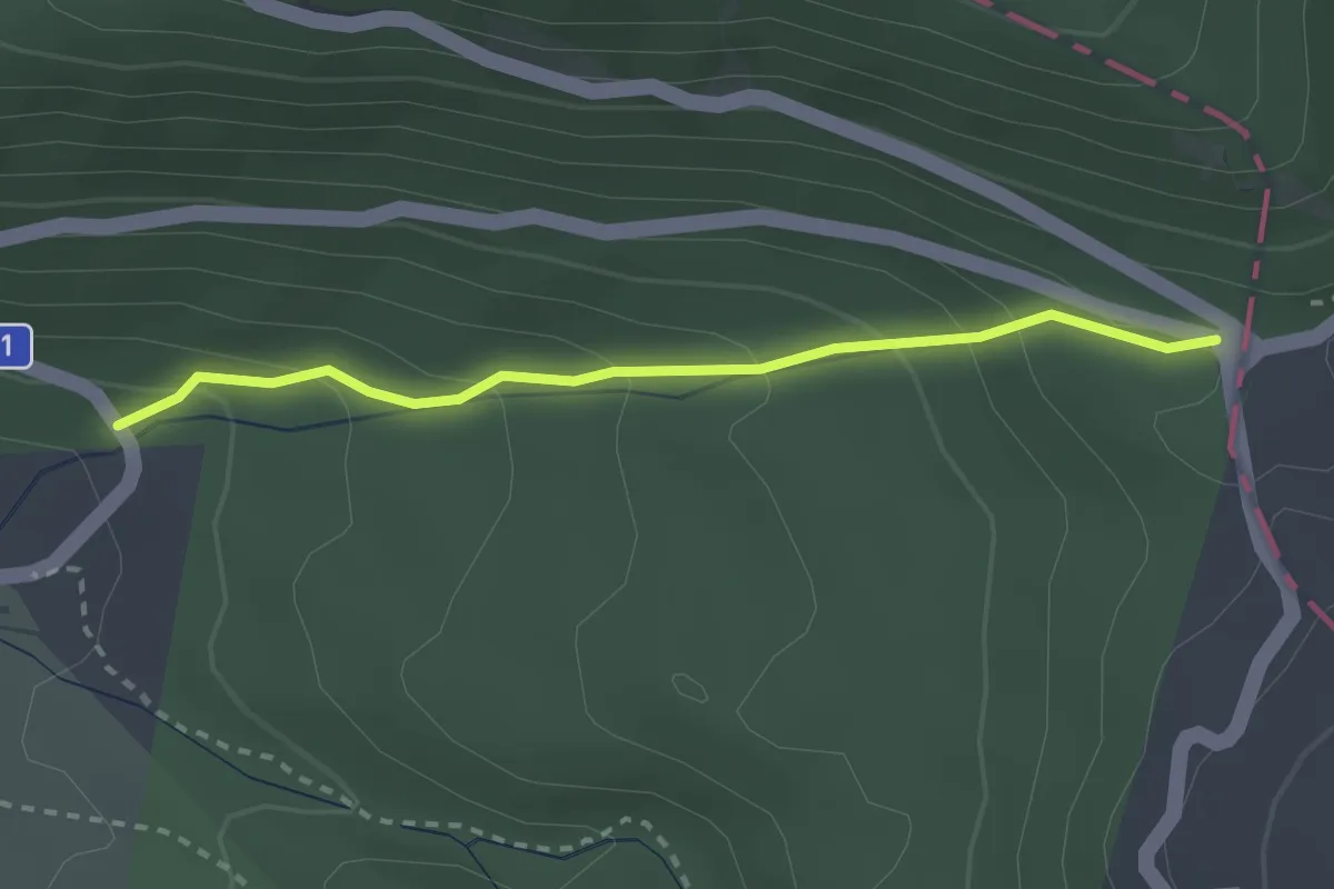
Easy · Cabin
Saloon dell'impiccato – Sella Del Perrone
2.7 km · ↑ 171 m · 1 h · 9 km away
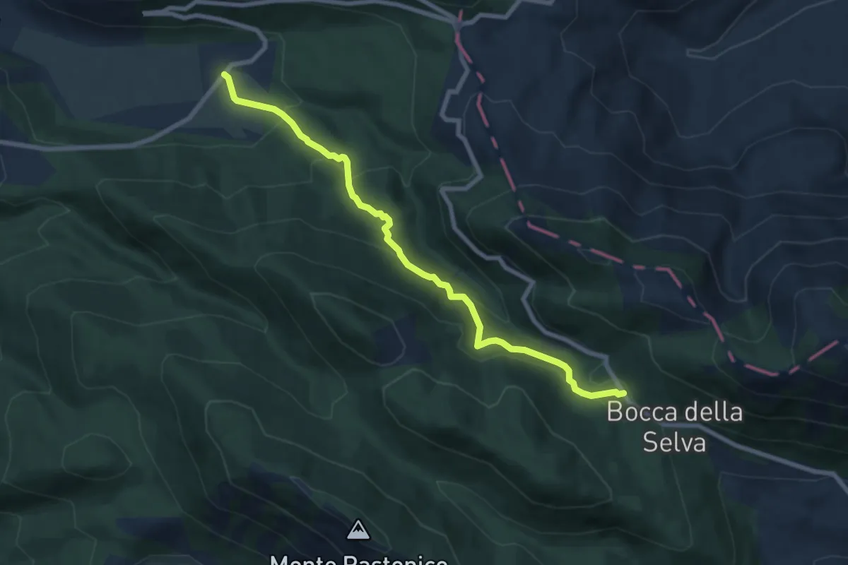
Expert · Cabin
Capo Di Campo – Bocca Della Selva
8.1 km · ↑ 467 m · 2 h 56 min · 9 km away
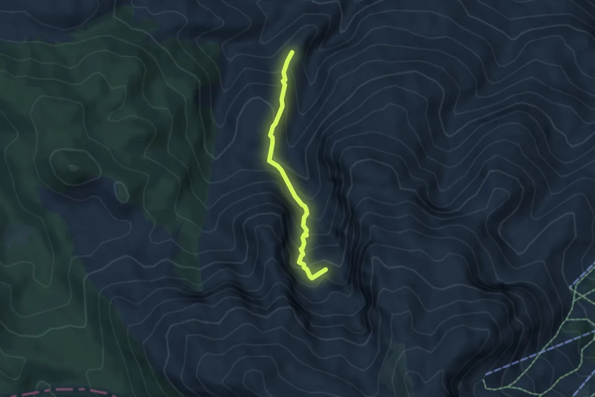
Demanding · Summit
Valle Rima – Campanarielli
4.2 km · ↑ 412 m · 1 h 53 min · 9 km away
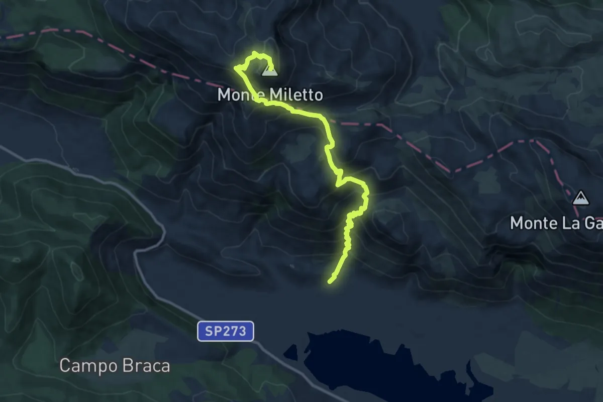
Demanding · Summit
Monte Miletto
11.7 km · ↑ 1004 m · 4 h 56 min · 10 km away
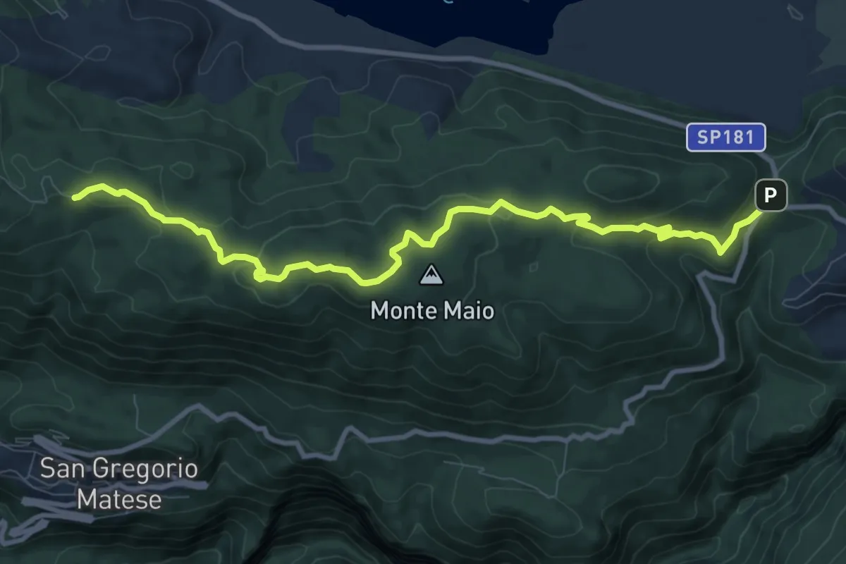
Medium · Trail
Miralago – Parco d'Amore (per Monte Maio 1302)
11.0 km · ↑ 269 m · 3 h 10 min · 10 km away
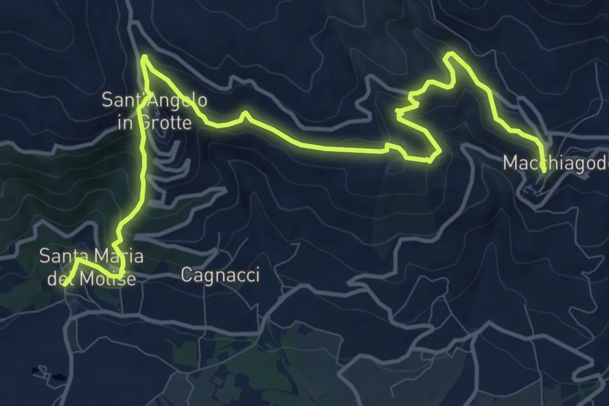
Demanding · Trail
Di borgo in Borgo
14.6 km · ↑ 810 m · 5 h 12 min · 10 km away
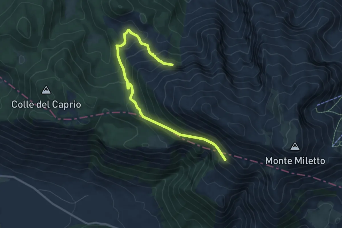
Medium · Trail
Monte Ruzzo – Monte Miletto
8.5 km · ↑ 470 m · 3 h 1 min · 10 km away
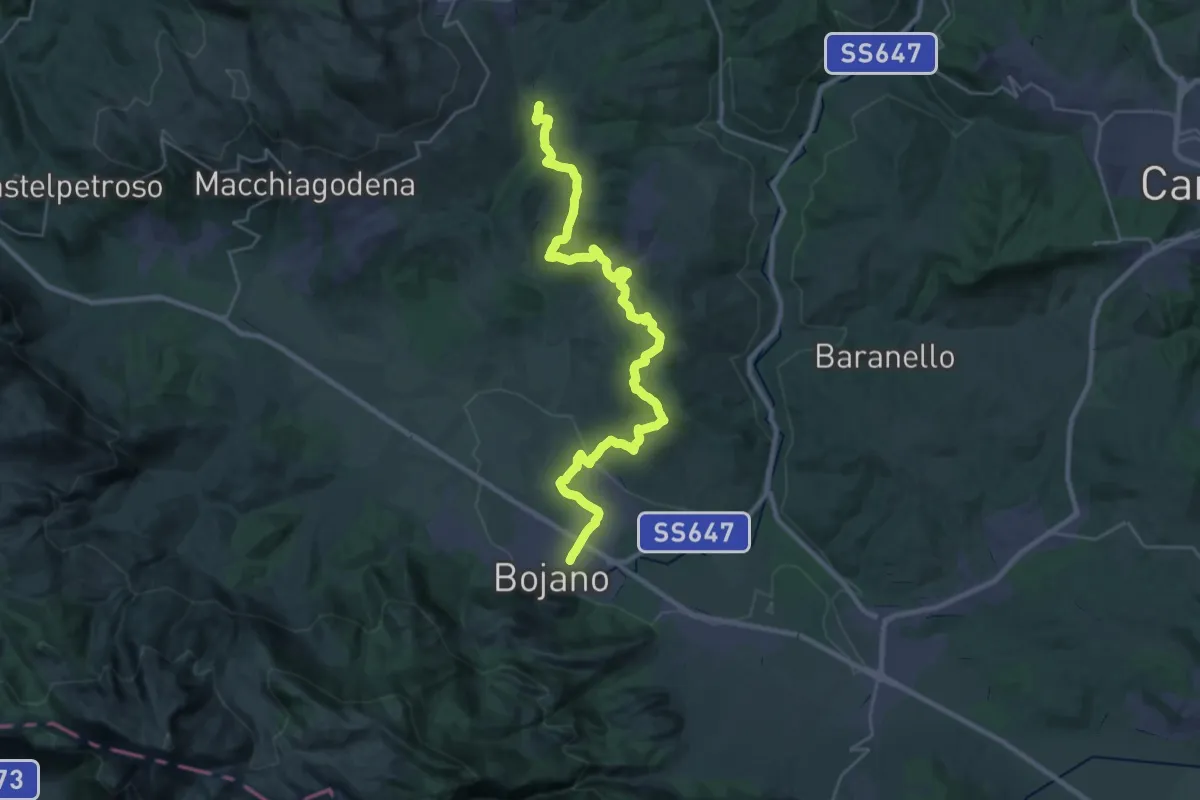
Medium · Trail
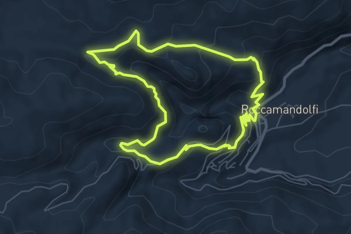
Cammino degli Stanghi -3-
17.4 km · ↑ 289 m · 5 h 8 min · 10 km away
Medium · Trail
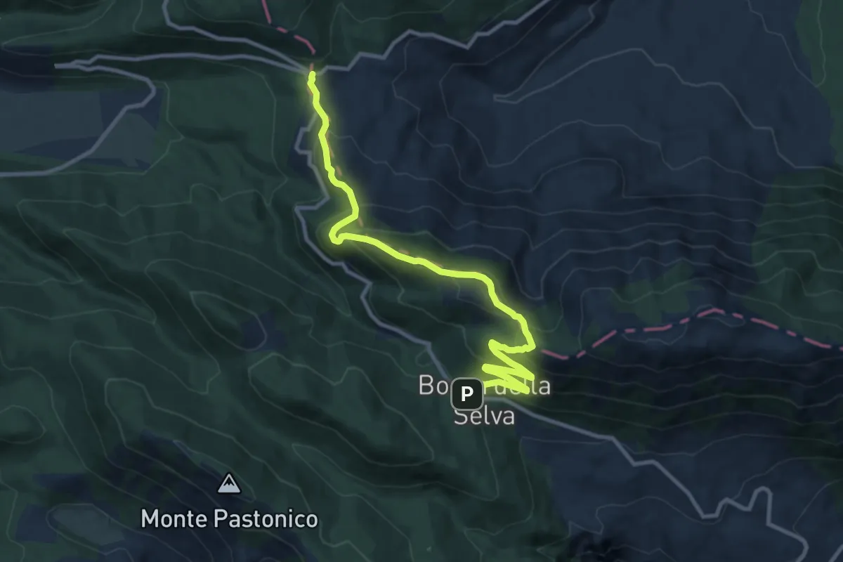
Sentiero della Riserva
5.9 km · ↑ 341 m · 2 h 12 min · 10 km away
Medium · Cabin
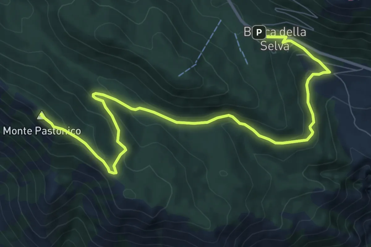
Monte Mutria
12.0 km · ↑ 662 m · 4 h 16 min · 12 km away
Medium · Summit
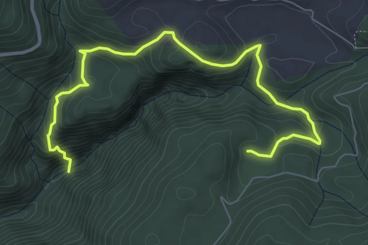
Monte Pastonico
11.2 km · ↑ 467 m · 3 h 40 min · 12 km away
Medium · Cabin
Bivio castelluccio – Tassitello (per l'Acqua Ricciuta)
7.9 km · ↑ 498 m · 2 h 56 min · 12 km away
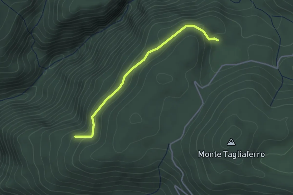
Easy · Cabin
Rifugio Tassitello – Monte Grassete (area attrezzata)
3.2 km · ↑ 136 m · 1 h 3 min · 12 km away
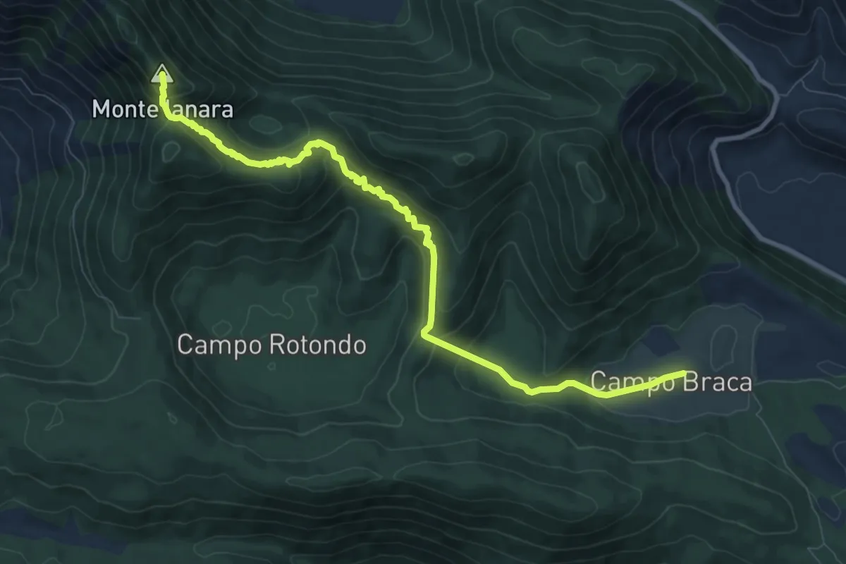
Medium · Summit
Parco d'Amore – Monte Janara (per Campobraga)
10.3 km · ↑ 618 m · 3 h 46 min · 13 km away
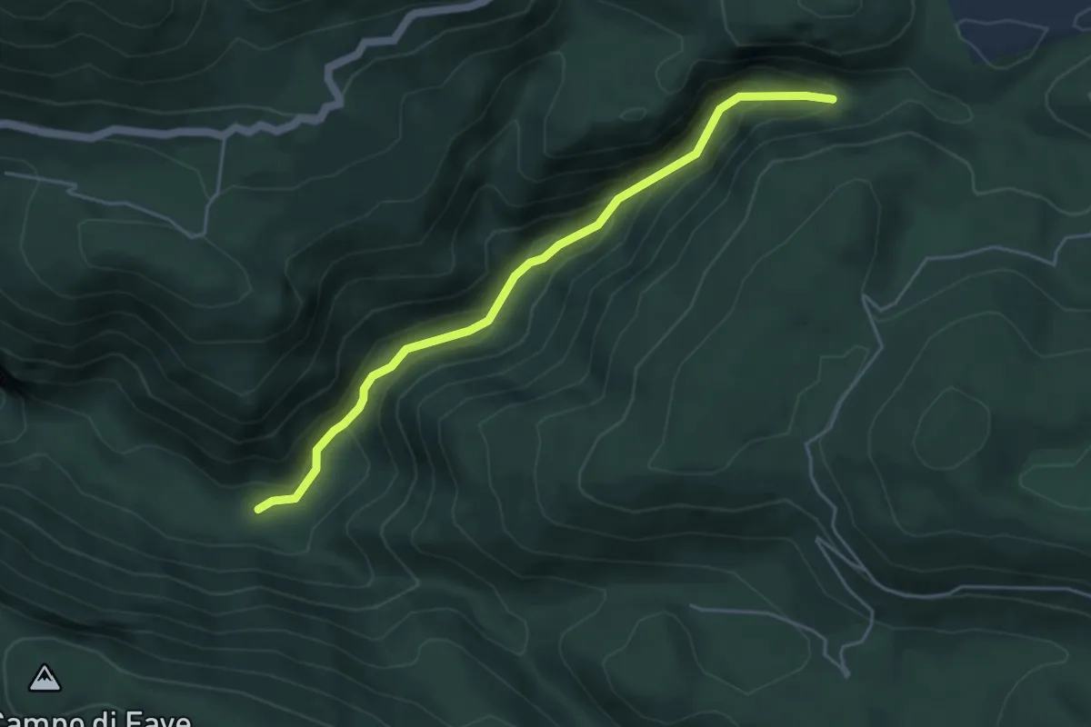
Medium · Trail
Grassette – Pintime Jonte
5.0 km · ↑ 342 m · 1 h 56 min · 13 km away
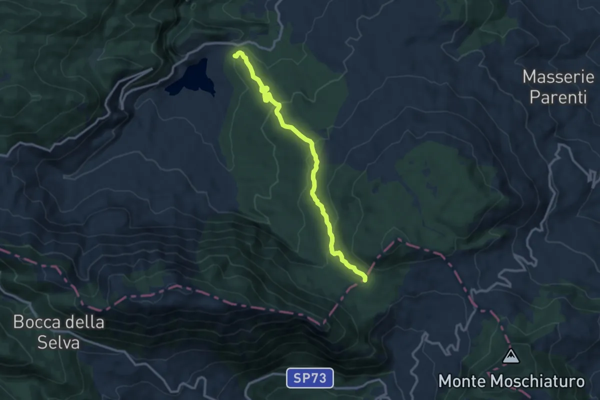
Medium · Trail
Fonte San Nicola – incrocio sentiero 100 Dorsale Matese
10.6 km · ↑ 375 m · 3 h 19 min · 13 km away
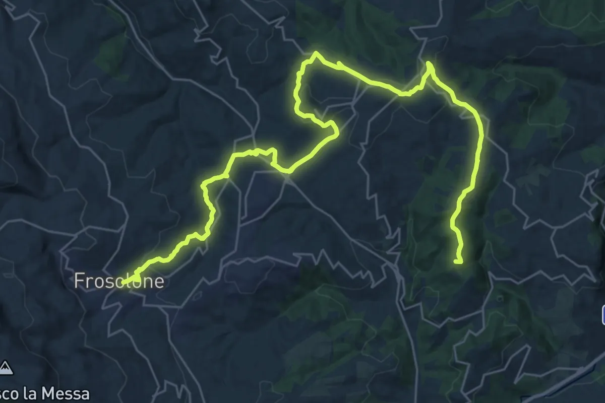
Demanding · Summit
Cammino degli Stanghi -4-
36.1 km · ↑ 902 m · 10 h 28 min · 13 km away
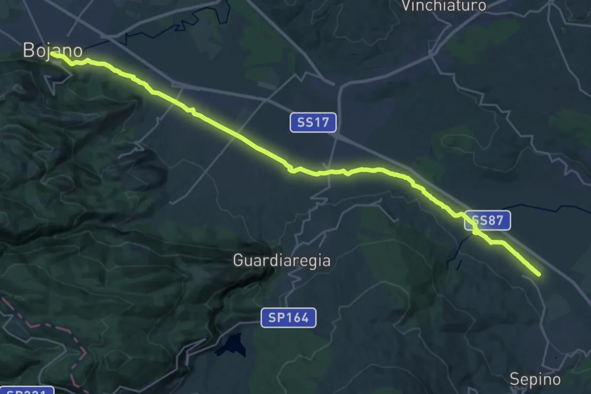
Demanding · Trail
Altilia – Bojano
29.4 km · ↑ 233 m · 7 h 27 min · 14 km away
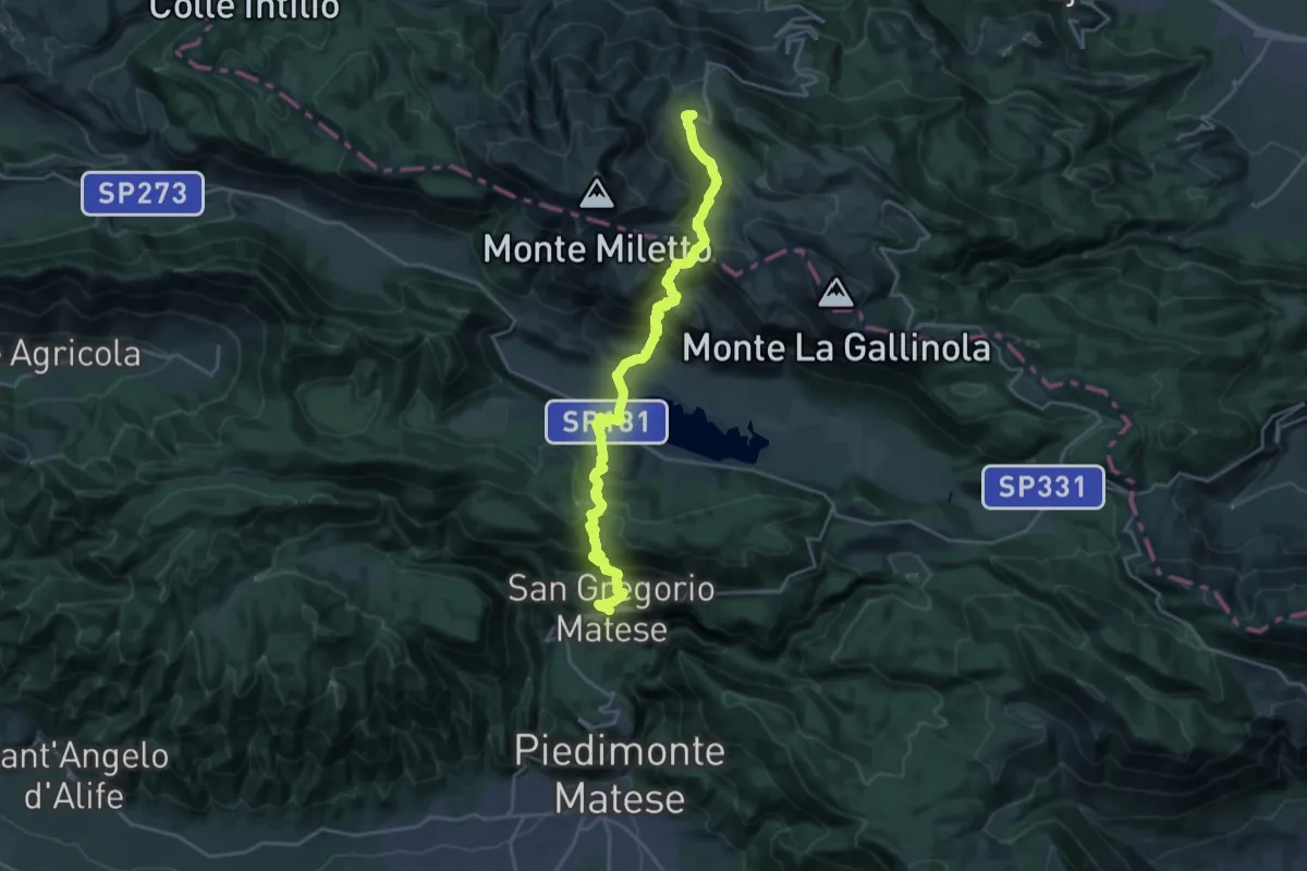
Demanding · Trail
San Gregorio Matese – Campitello Matese
12.9 km · ↑ 1074 m · 5 h 12 min · 14 km away
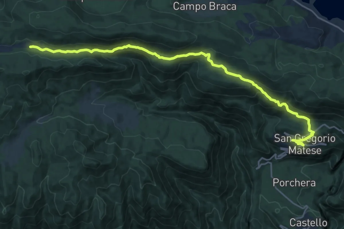
Demanding · Cabin
San Gregorio Matese – Camporuccio
18.2 km · ↑ 804 m · 6 h 2 min · 14 km away
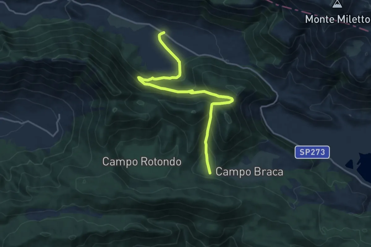
Medium · Trail
Valico Monte Soglio
13.8 km · ↑ 656 m · 4 h 41 min · 14 km away
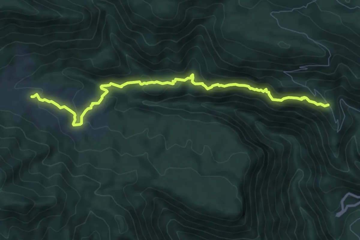
Medium · Trail
San Gregorio Matese (strada comunale grotte) – Ferracciano
9.5 km · ↑ 403 m · 3 h 7 min · 14 km away
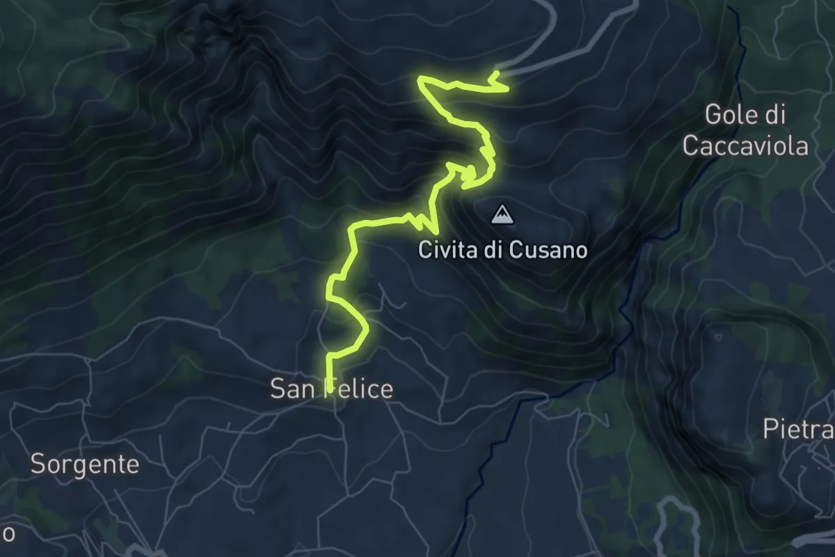
Medium · Trail
Ex Miniera Bauxite
8.1 km · ↑ 617 m · 3 h 15 min · 14 km away
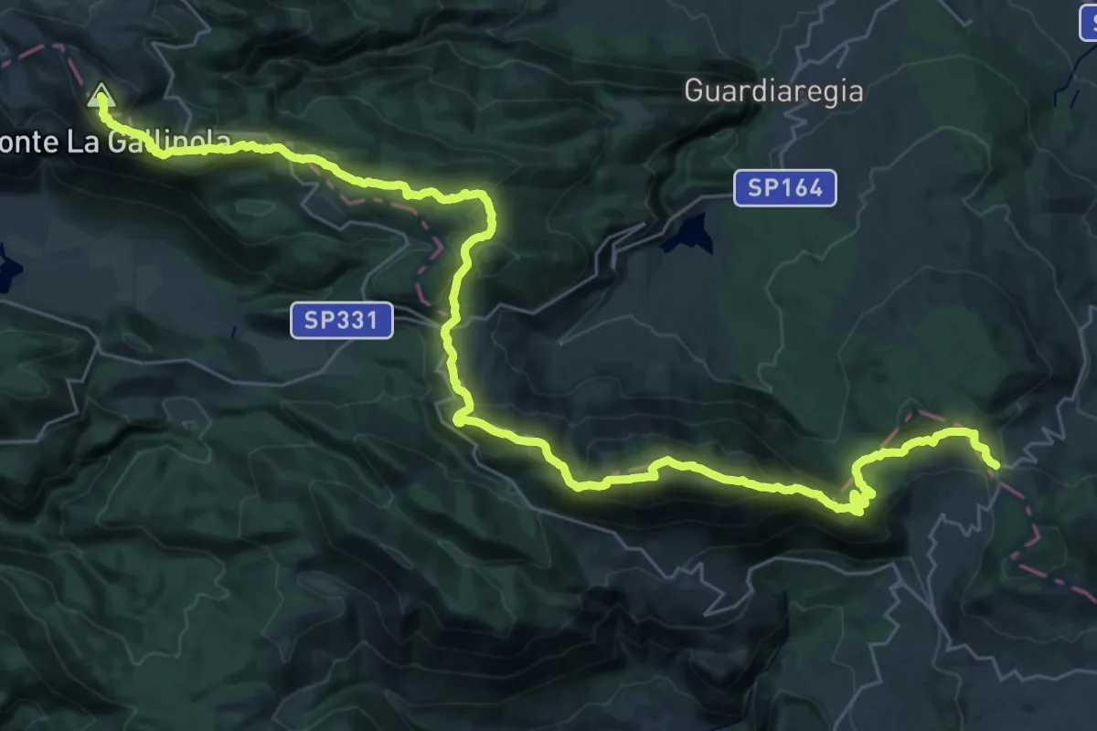
Demanding · Summit
Dorsale Matese
43.9 km · ↑ 2248 m · 15 h 14 min · 14 km away
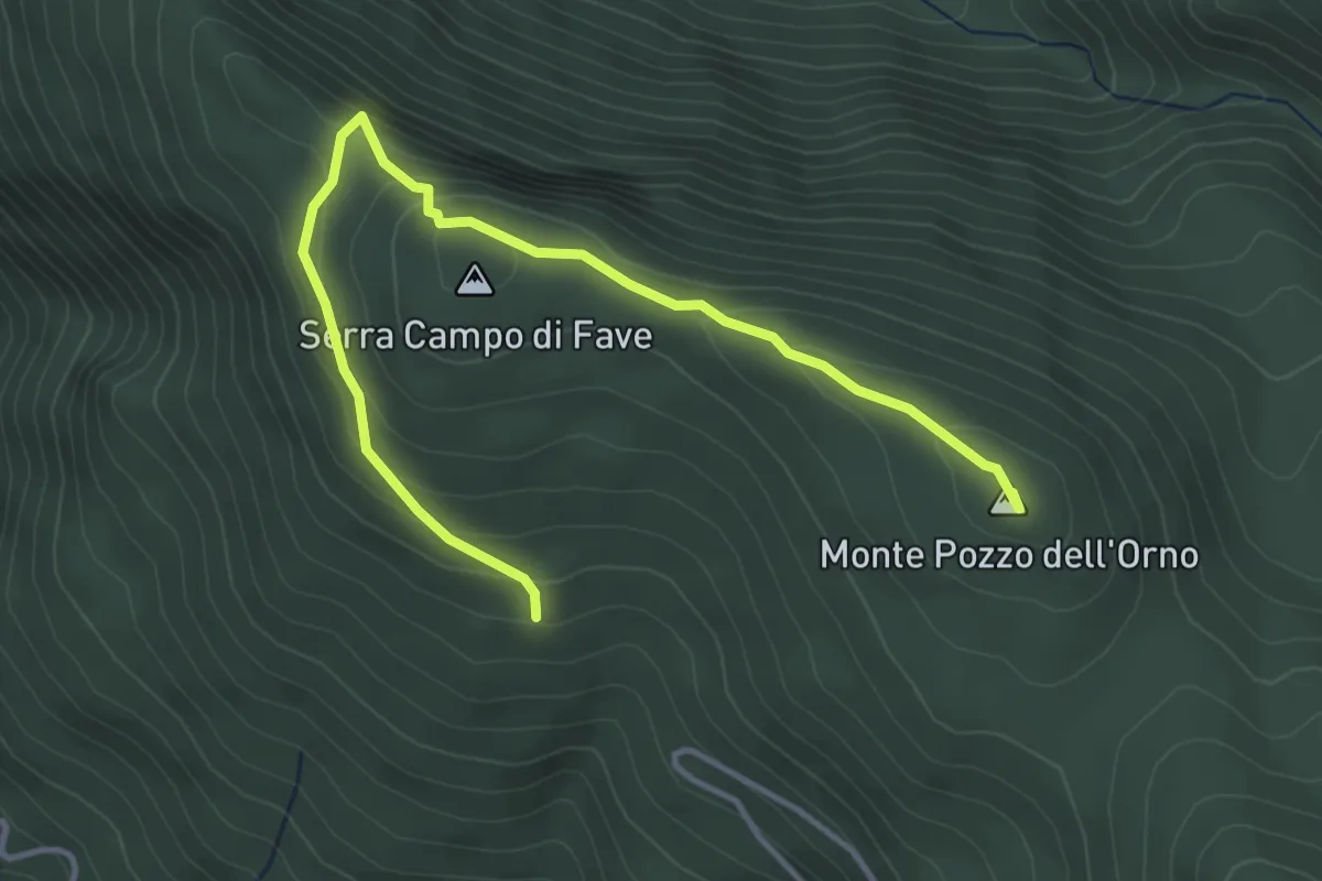
Easy · Summit
Bocca delle Fosse – Bivio 153
4.9 km · ↑ 261 m · 1 h 43 min · 14 km away
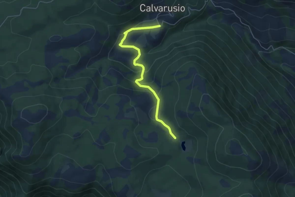
Easy · Trail
Bivio 163 SI – Calvarusio
5.3 km · ↑ 211 m · 1 h 42 min · 14 km away
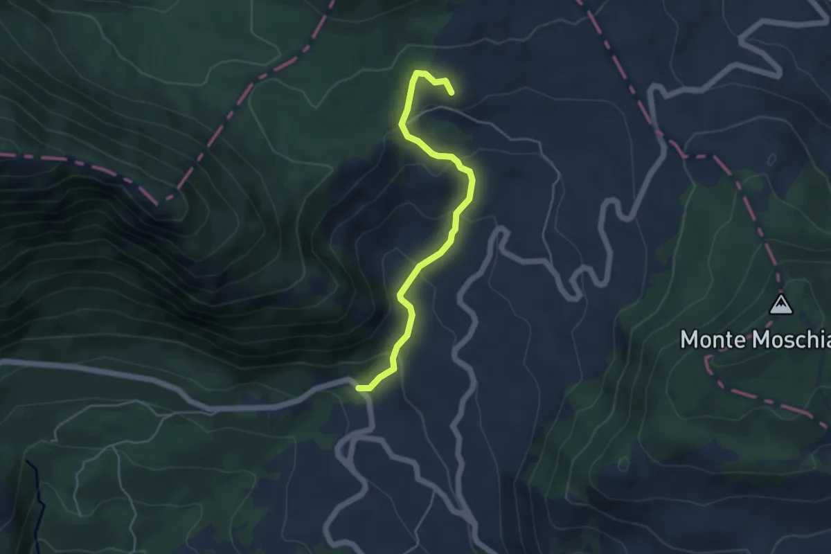
Easy · Summit
Pesco Rosito
4.6 km · ↑ 264 m · 1 h 40 min · 15 km away
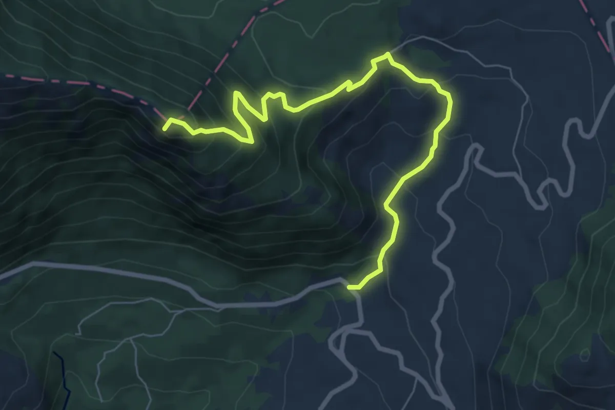
Demanding · Summit
Monte Palumbaro
8.0 km · ↑ 560 m · 3 h 6 min · 15 km away
Medium · Summit
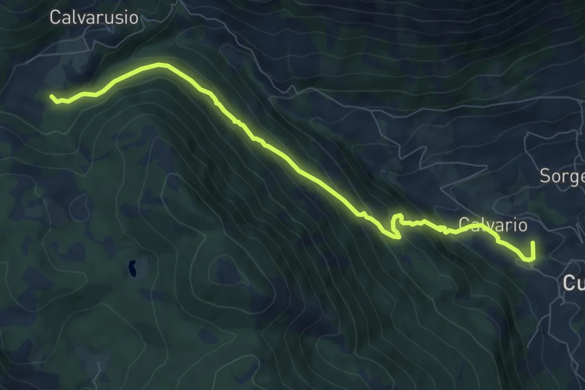
Calvarusio – Cusano Mutri
9.4 km · ↑ 521 m · 3 h 21 min · 15 km away
Easy · Summit
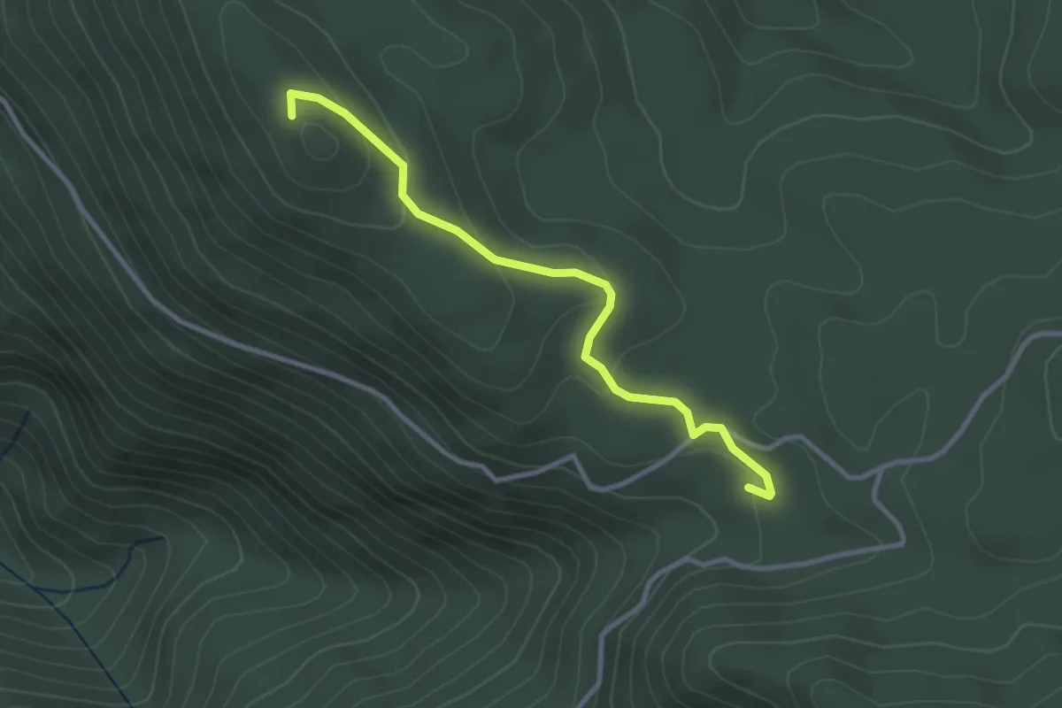
La Piscina – Monte Ariola
3.3 km · ↑ 106 m · 1 h · 15 km away
Demanding · Trail
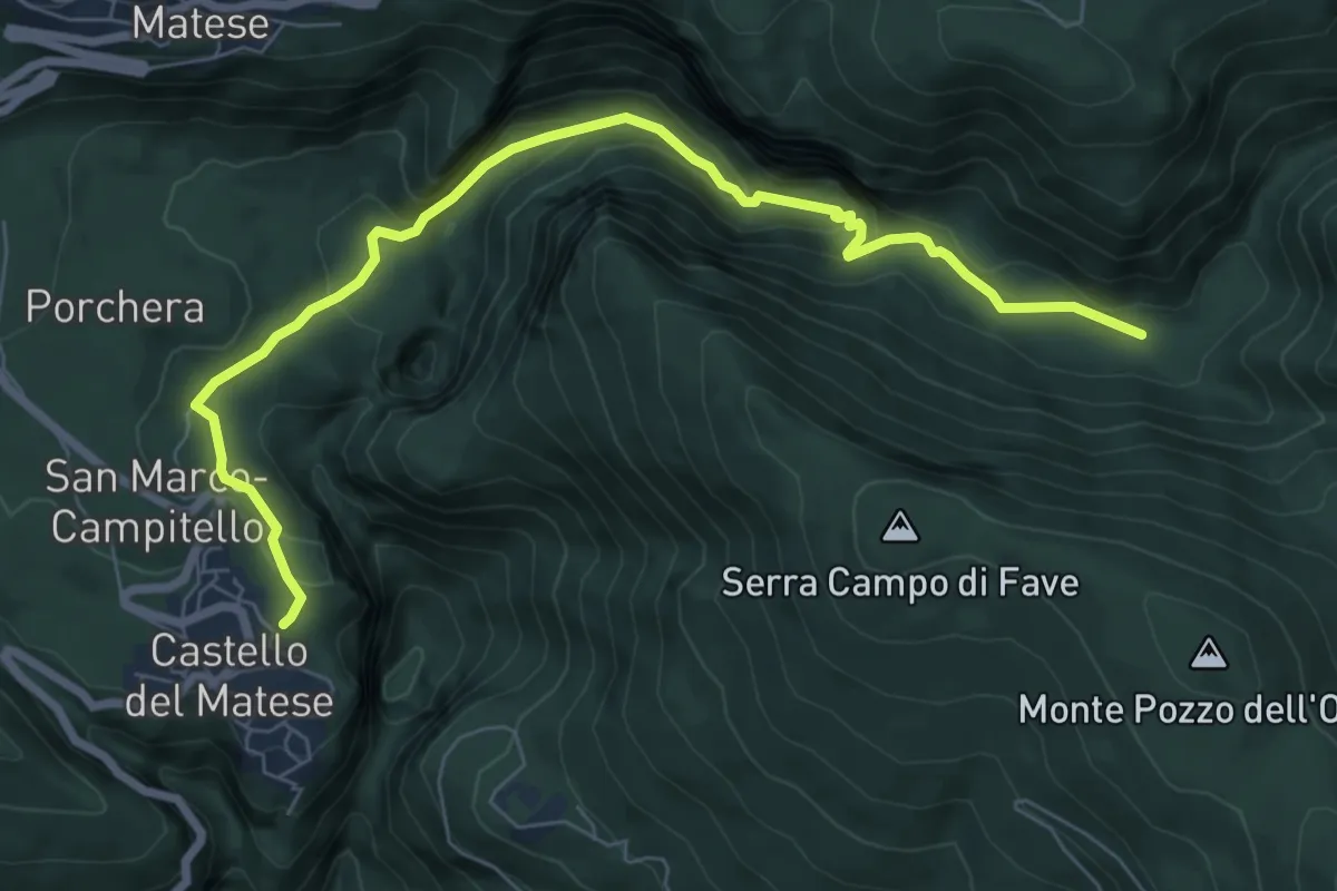
Castello Matese (Piazza Cannavina) – Le Grassete
8.6 km · ↑ 378 m · 2 h 51 min · 15 km away