Trails near Borgo San Lorenzo
144 hikes starting within 15 km, nearest first.
Nearest first, page 1 of 3
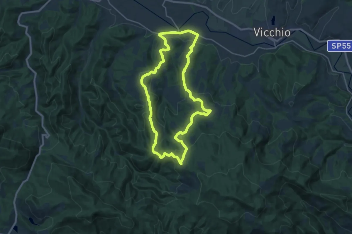
Medium · Trail
Sorgenti di Firenze Trekking - Anello 6: Dalla Sieve a Monte Giovi
16.0 km · ↑ 574 m · 5 h 14 min · 4 km away
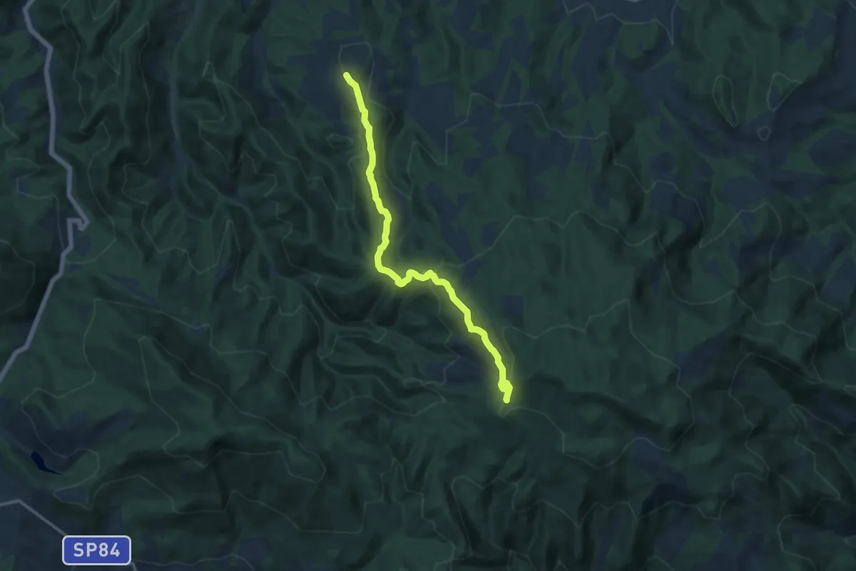
Medium · Trail
San Cresci in Valcava – Monte Giovi
12.5 km · ↑ 494 m · 4 h 1 min · 4 km away
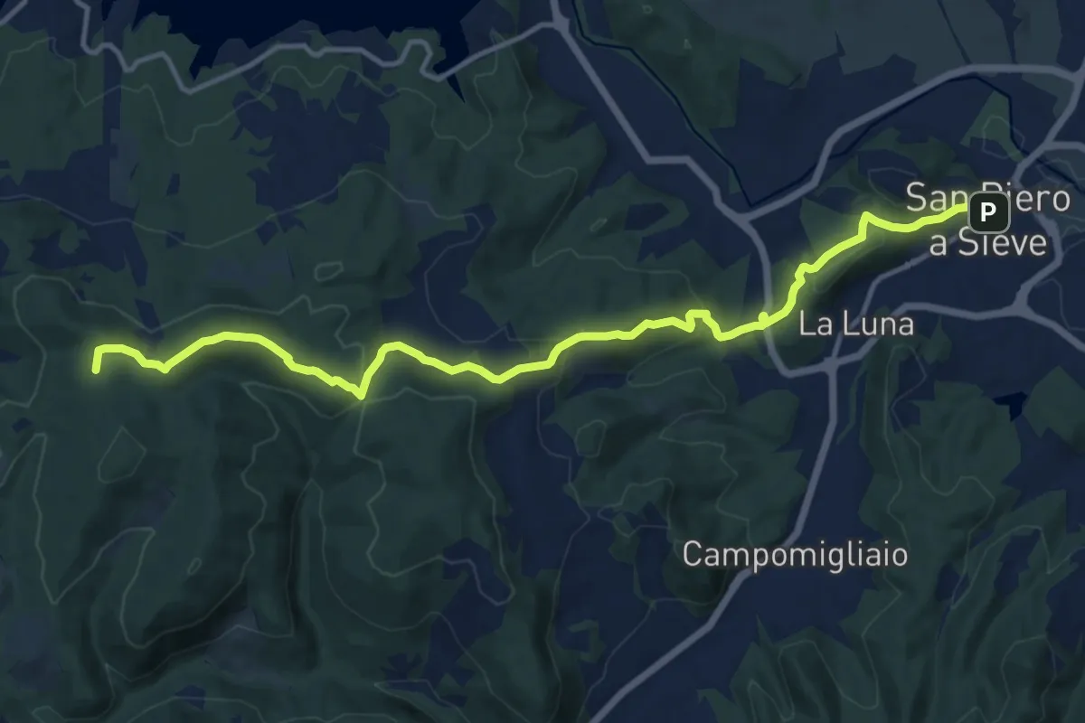
Medium · Summit
San Piero a Sieve – Croci Di Calenzano
15.2 km · ↑ 554 m · 4 h 47 min · 5 km away
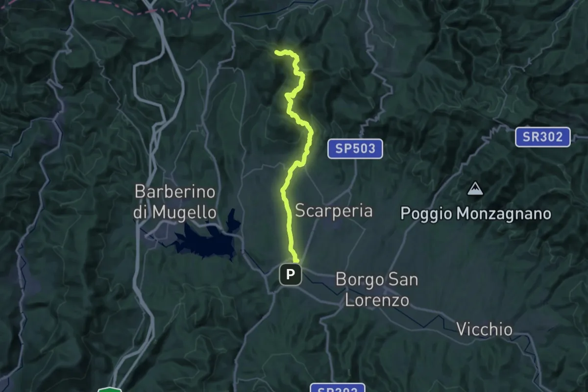
Demanding · Summit
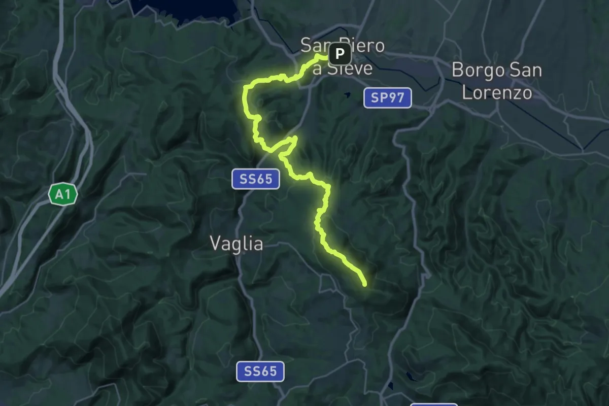
Via degli Dei: Tappa 4
36.8 km · ↑ 1336 m · 11 h 36 min · 5 km away
Demanding · Summit
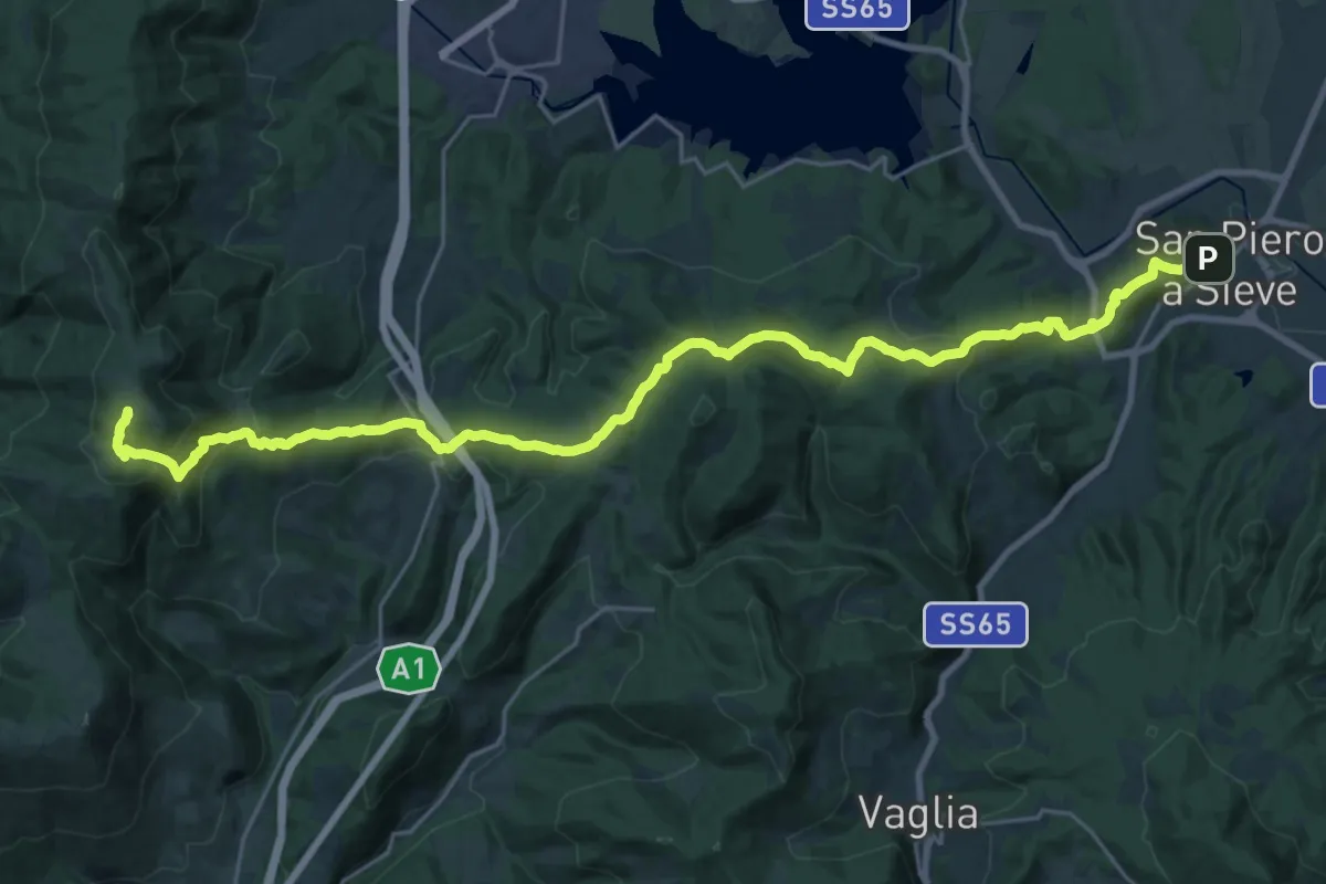
Via degli Dei: Tappa 5
30.8 km · ↑ 1214 m · 9 h 54 min · 5 km away
Demanding · Summit
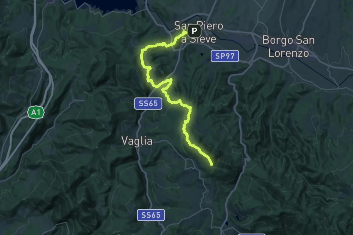
Sorgenti di Firenze Trekking – Anello Principale: Tappa 9
31.0 km · ↑ 1228 m · 9 h 58 min · 5 km away
Demanding · Summit
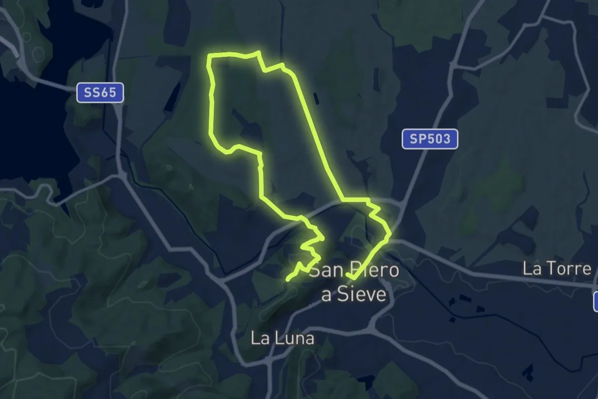
Sorgenti di Firenze Trekking – Anello Principale: Tappa 8
30.5 km · ↑ 1183 m · 9 h 46 min · 5 km away
Demanding · Trail
San Piero a Sieve – San Piero a Sieve
18.2 km · ↑ 305 m · 4 h 57 min · 6 km away
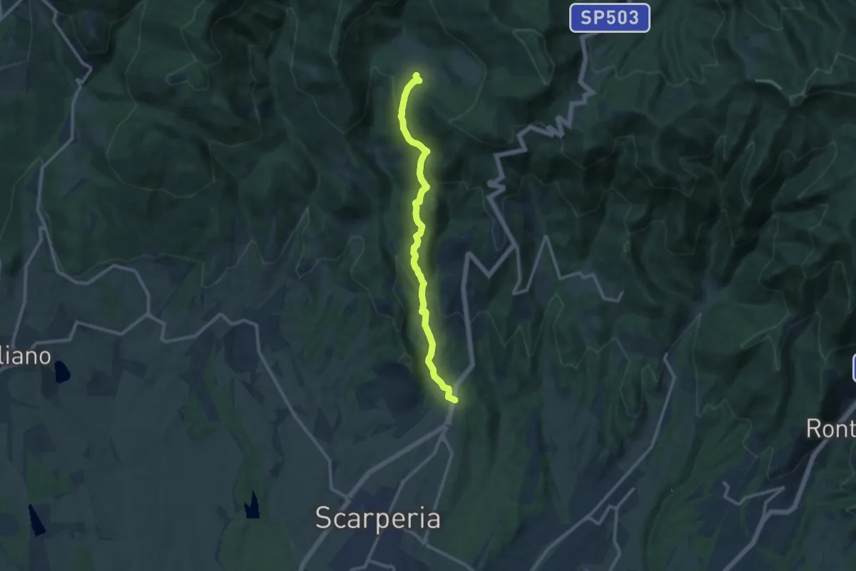
Medium · Trail
Montagnana – Cavallico
10.6 km · ↑ 443 m · 3 h 28 min · 6 km away
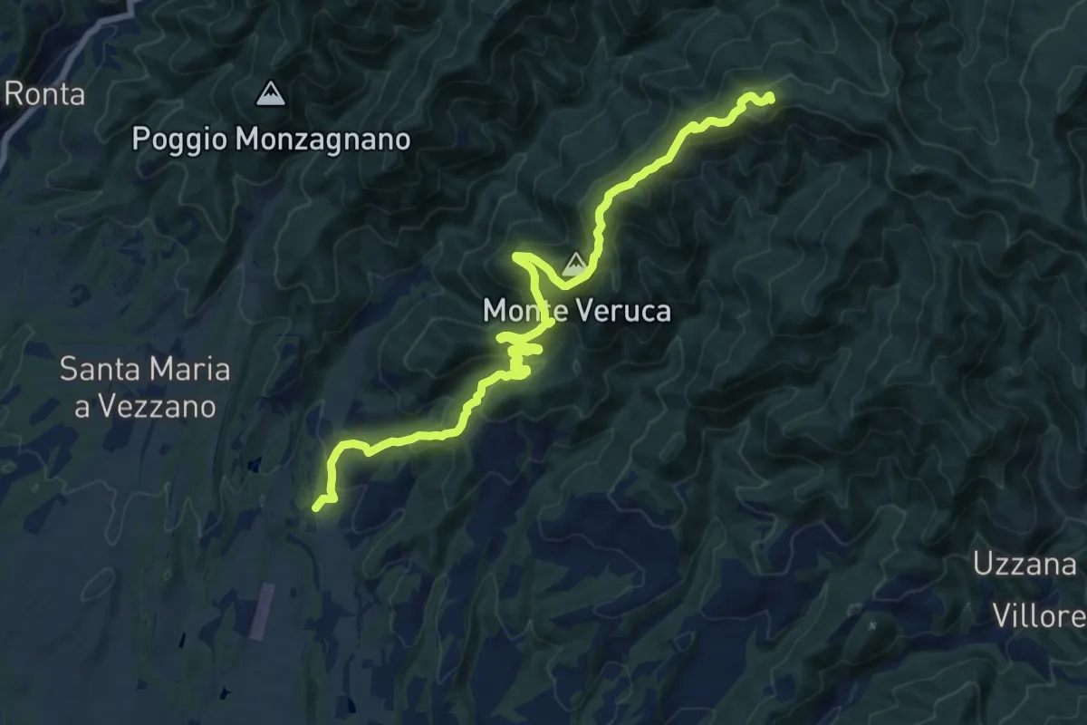
Demanding · Summit
Molezzano – Poggio Castellina
17.3 km · ↑ 884 m · 6 h · 7 km away
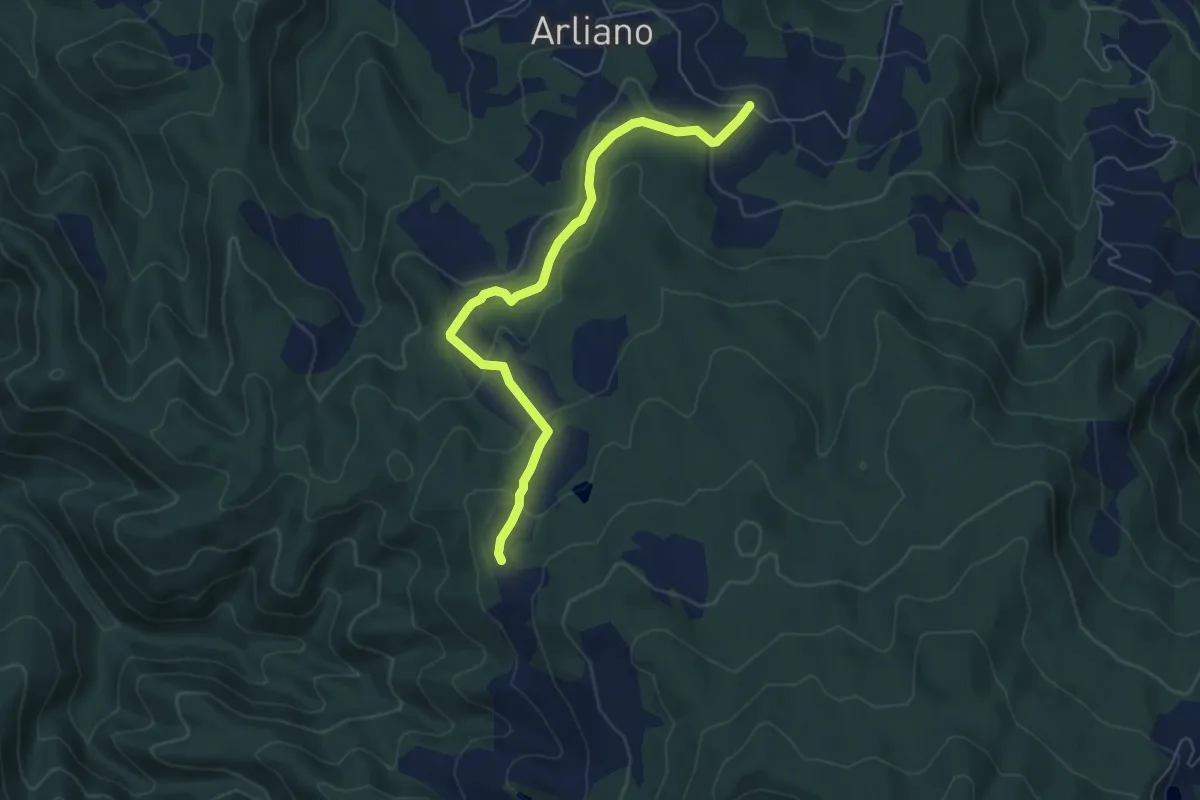
Easy · Trail
Campestri – Innesto itinerario 9
6.6 km · ↑ 253 m · 2 h 7 min · 7 km away
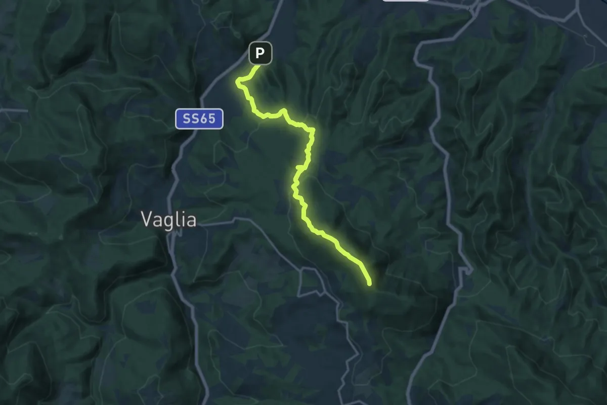
Medium · Summit
Campomigliaio – Vetta le Croci
15.0 km · ↑ 649 m · 4 h 57 min · 7 km away
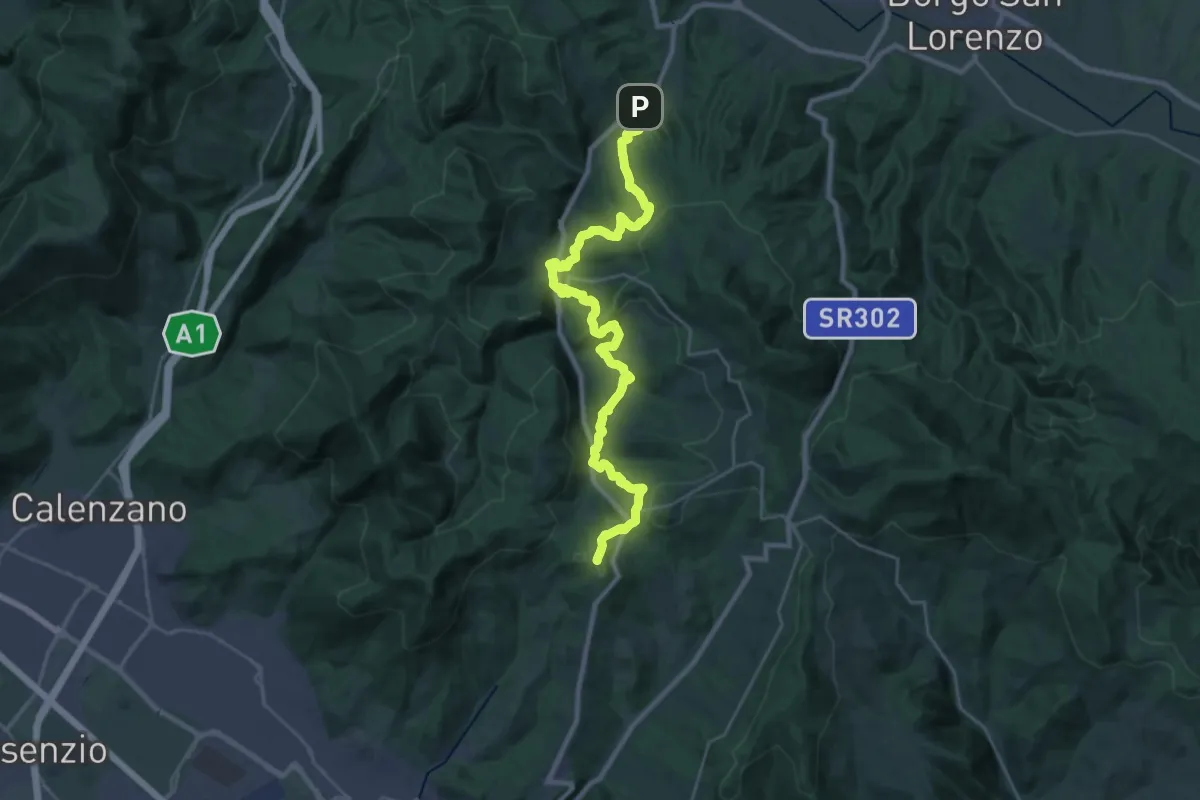
Demanding · Summit
Caldine – Campomigliaio
33.0 km · ↑ 1280 m · 10 h 34 min · 7 km away
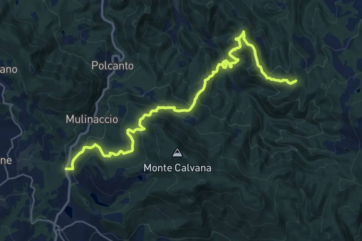
Demanding · Trail
Feriolo – Innesto itinerario 309
20.3 km · ↑ 1138 m · 7 h 15 min · 7 km away
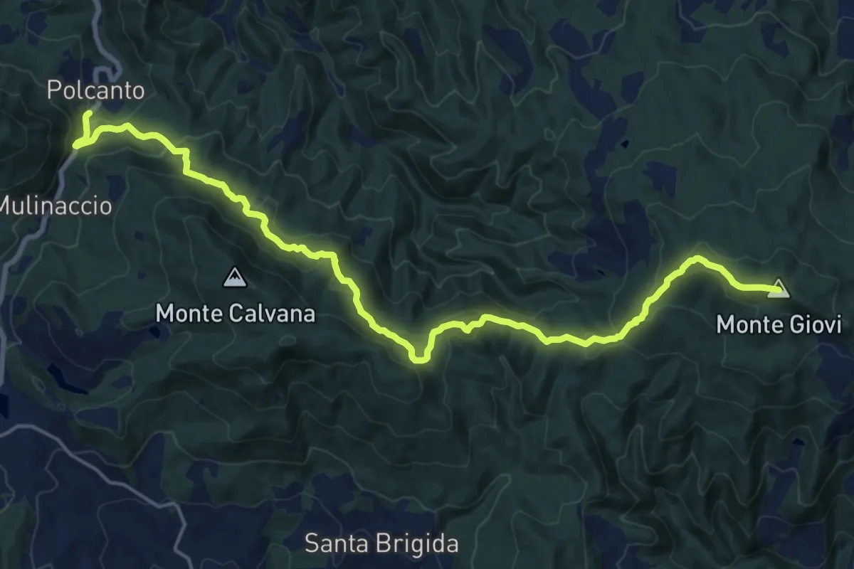
Demanding · Summit
Sorgenti di Firenze Trekking – Anello Principale: Tappa 7
21.2 km · ↑ 1002 m · 7 h 11 min · 7 km away
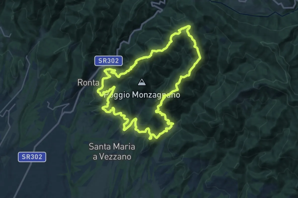
Demanding · Summit
Sorgenti di Firenze Trekking – Anello 17: Dai castagni ai faggi del Mugello
19.4 km · ↑ 1166 m · 7 h 22 min · 7 km away
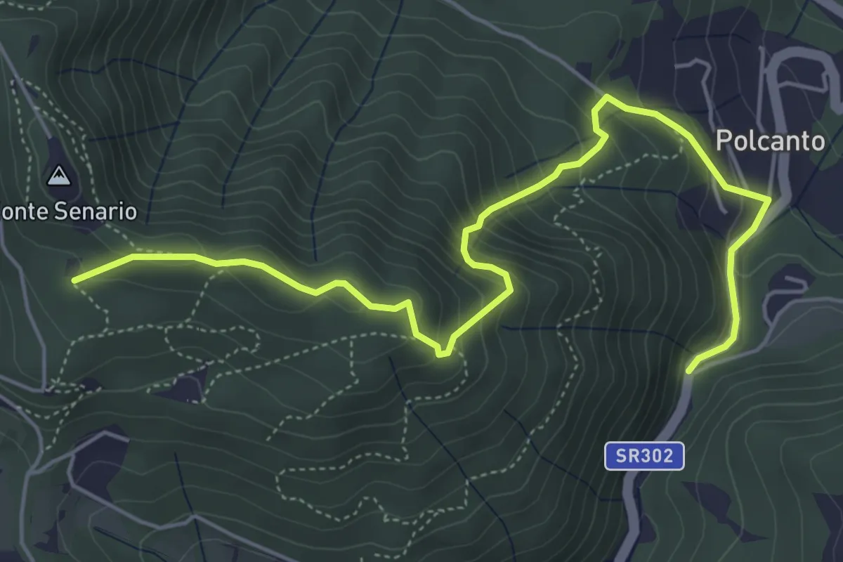
Medium · Trail
Polcanto – Monte Senario
6.5 km · ↑ 534 m · 2 h 41 min · 8 km away
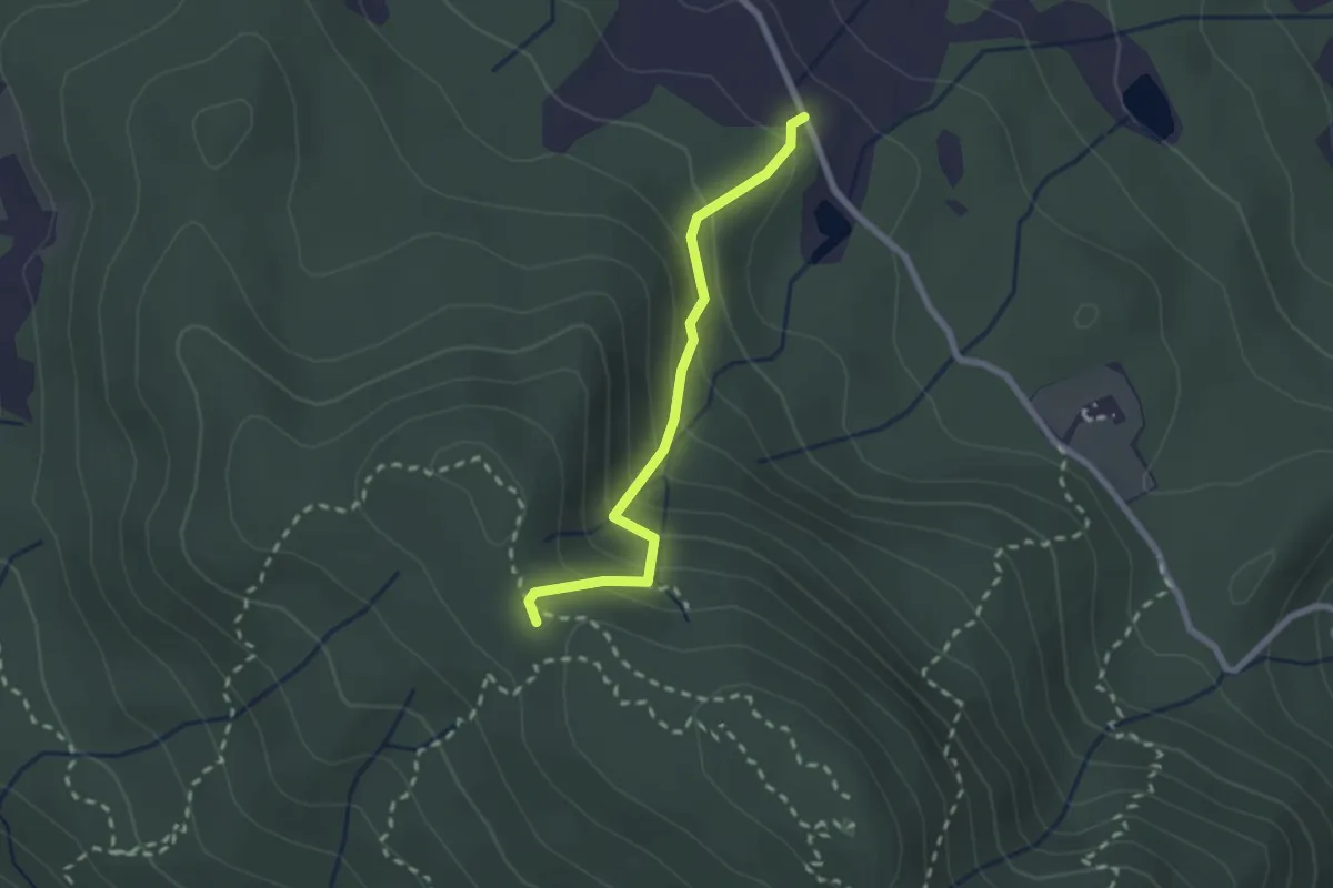
Medium · Trail
Fattoria – Monte Senario
2.2 km · ↑ 181 m · 55 min · 8 km away
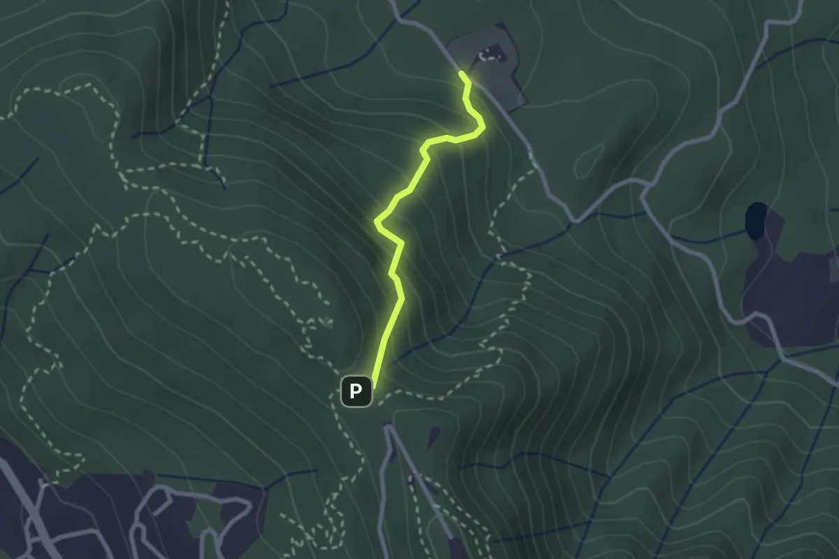
Medium · Trail
Polcanto – Monte Senario
2.1 km · ↑ 224 m · 58 min · 8 km away
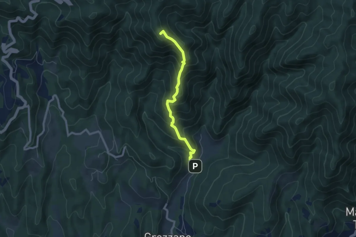
Medium · Summit
Grezzano – Passo del Giogo
5.3 km · ↑ 501 m · 2 h 21 min · 8 km away
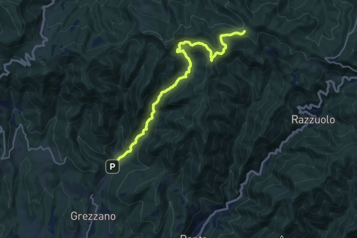
Demanding · Trail
Grezzano – Varco di Acquabona
13.1 km · ↑ 827 m · 4 h 53 min · 8 km away
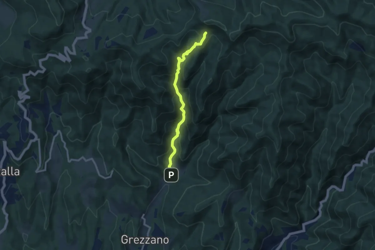
Medium · Trail
Case di Risolaia – Sentiero 36/B
7.2 km · ↑ 557 m · 2 h 54 min · 8 km away
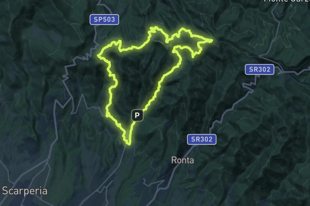
Demanding · Trail
Sorgenti di Firenze Trekking – Anello 14: Sul tracciato della Linea Gotica
20.7 km · ↑ 1151 m · 7 h 40 min · 8 km away
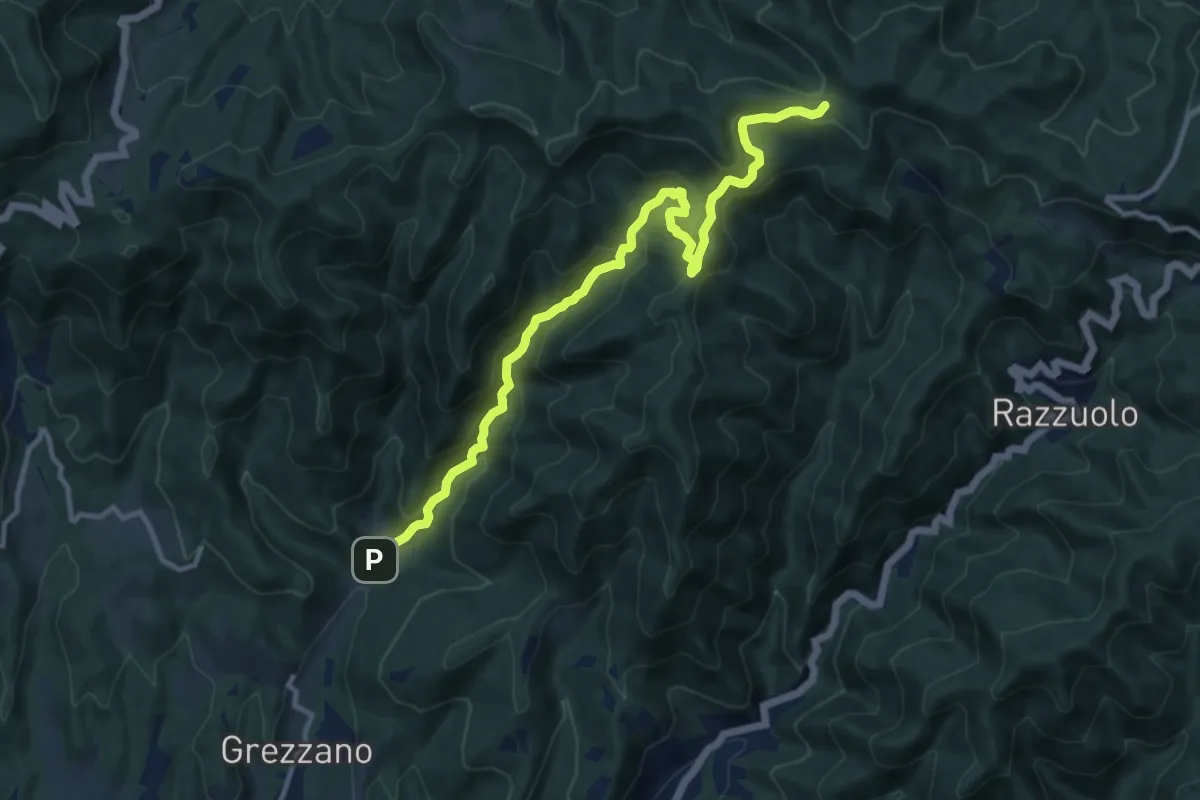
Medium · Trail
Cammino dell'acqua
12.5 km · ↑ 770 m · 4 h 36 min · 8 km away
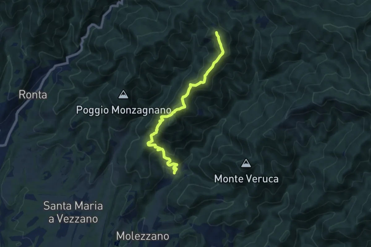
Medium · Summit
Gattaia – Colla di Casaglia
10.3 km · ↑ 737 m · 4 h 2 min · 8 km away
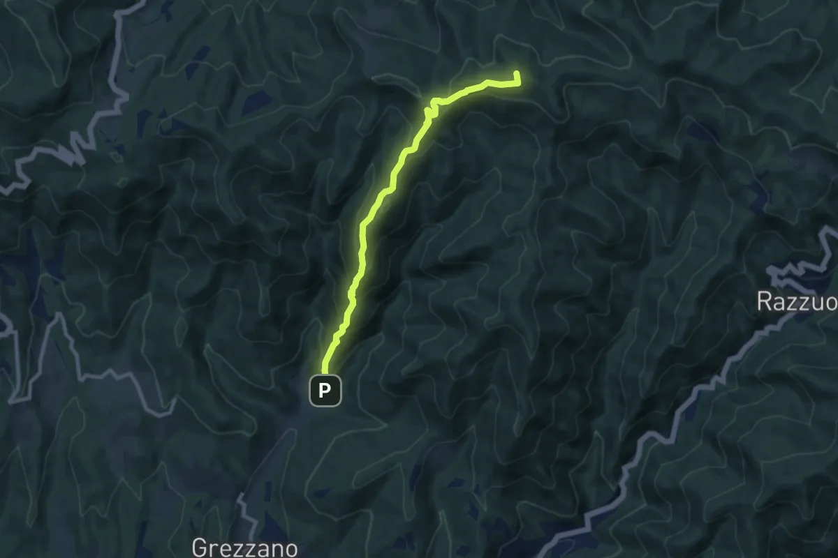
Medium · Summit
Grezzano – Varco di Acquabona
8.2 km · ↑ 661 m · 3 h 23 min · 8 km away
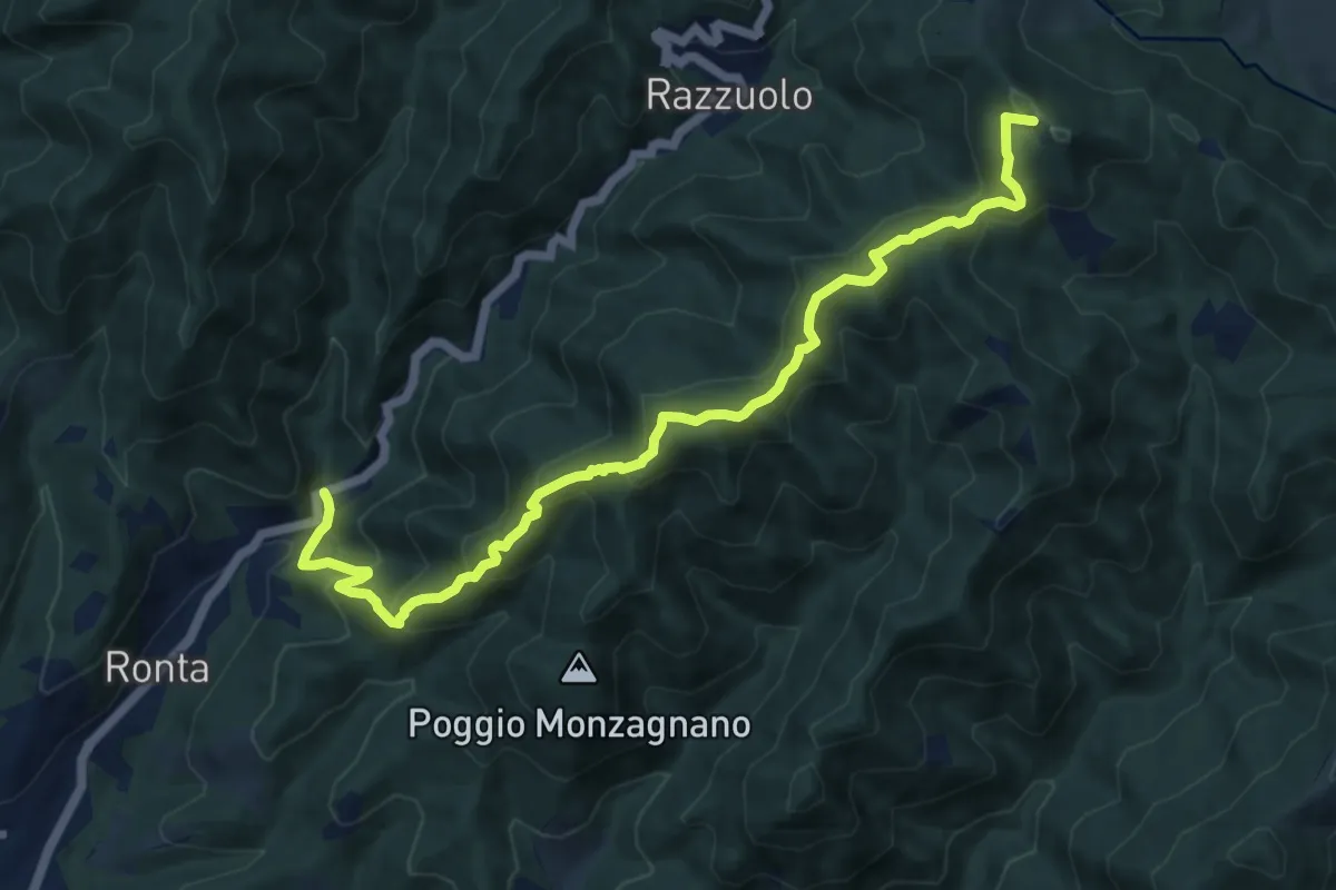
Medium · Summit
Madonna dei Tre Fiumi – Colla di Casaglia
12.2 km · ↑ 796 m · 4 h 37 min · 8 km away
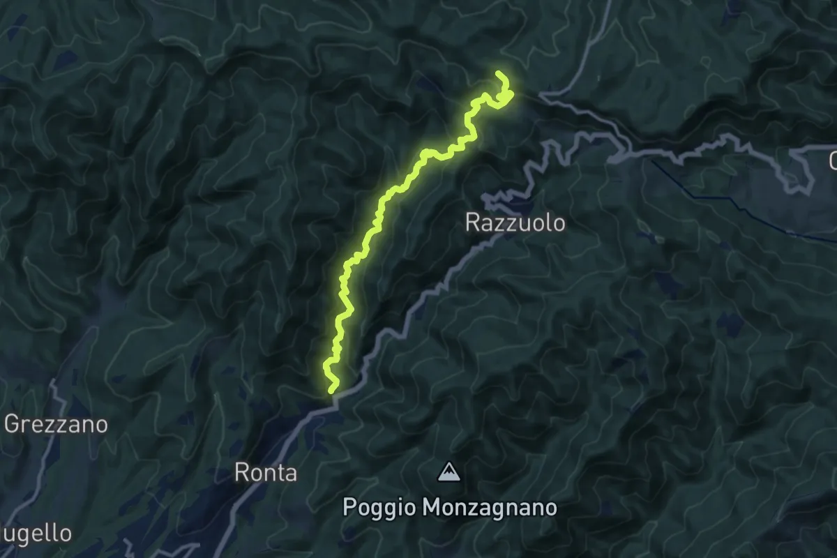
Medium · Cabin
Madonna dei Tre Fiumi – Capanna Marcone
12.2 km · ↑ 780 m · 4 h 35 min · 8 km away
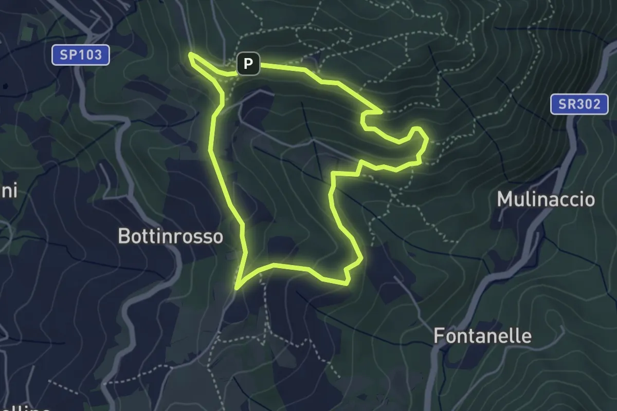
Easy · Trail
Itinerario delle Burraie
4.2 km · ↑ 171 m · 1 h 25 min · 8 km away
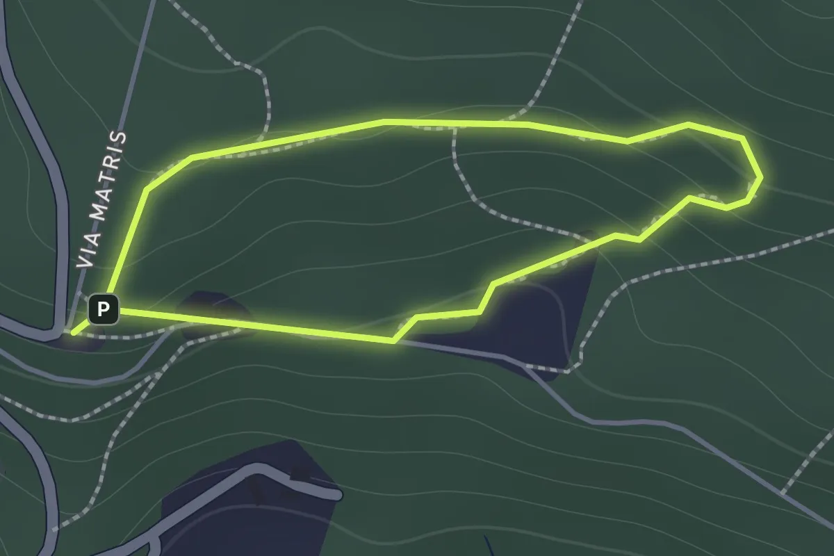
Easy · Trail
Sentiero di Andrea
1.2 km · ↑ 57 m · 26 min · 8 km away
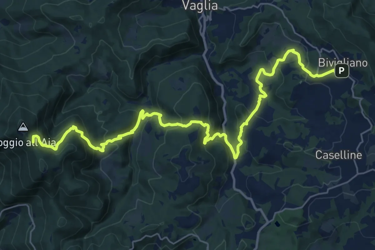
Demanding · Summit
Il Sentiero Delle Cime - 61 - Comune di Vaglia
26.4 km · ↑ 1504 m · 9 h 30 min · 8 km away
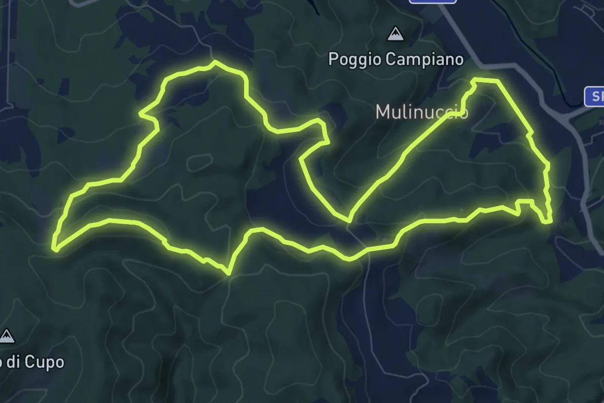
Medium · Summit
Sorgenti di Firenze Trekking: – Anello 8: Nei luoghi medicei del Mugello
12.0 km · ↑ 453 m · 3 h 59 min · 9 km away
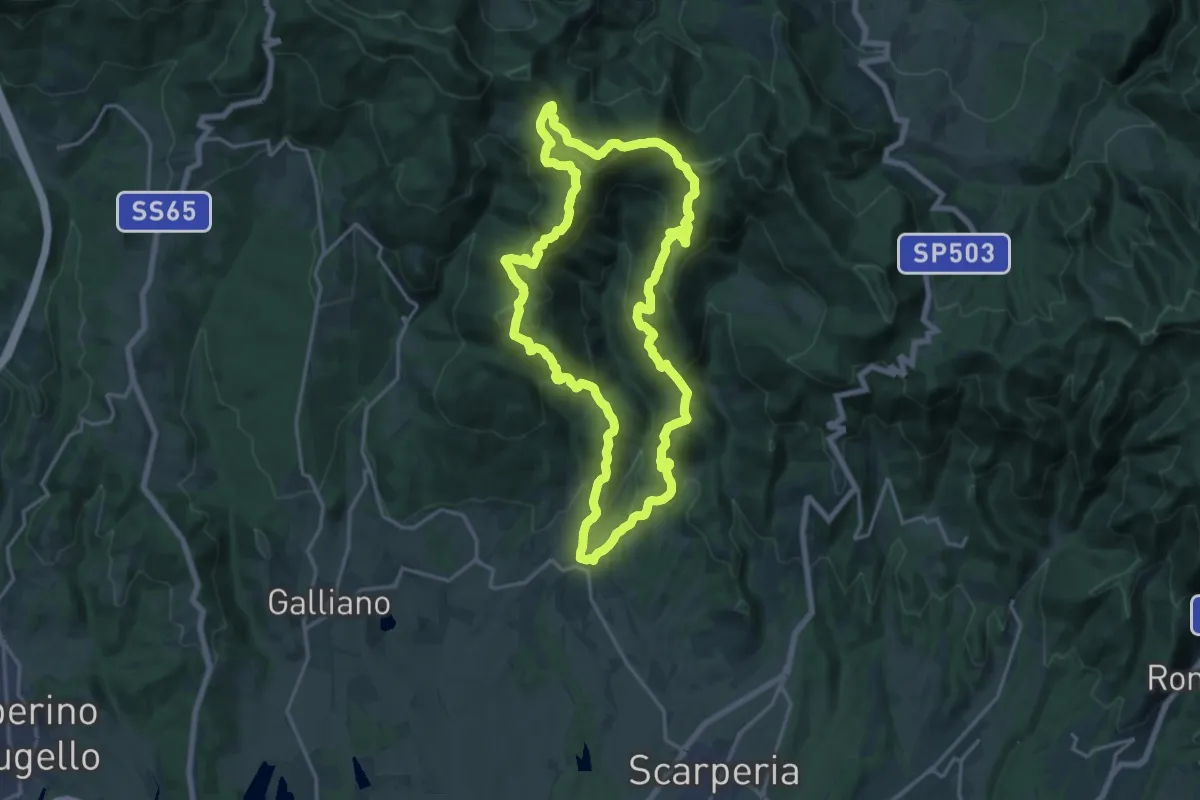
Demanding · Summit
Sorgenti di Firenze Trekking – Anello 13: Sulle antiche strade dell’Osteria Bruciata
18.9 km · ↑ 953 m · 6 h 48 min · 9 km away
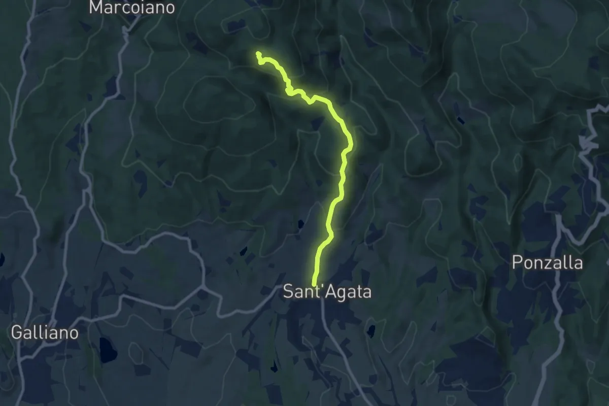
Medium · Trail
Sant'Agata – Sentiero 46
8.0 km · ↑ 488 m · 2 h 56 min · 9 km away
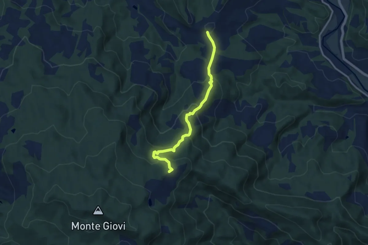
Medium · Summit
San Martino a Scopeto – Tamburino
7.9 km · ↑ 448 m · 2 h 50 min · 9 km away
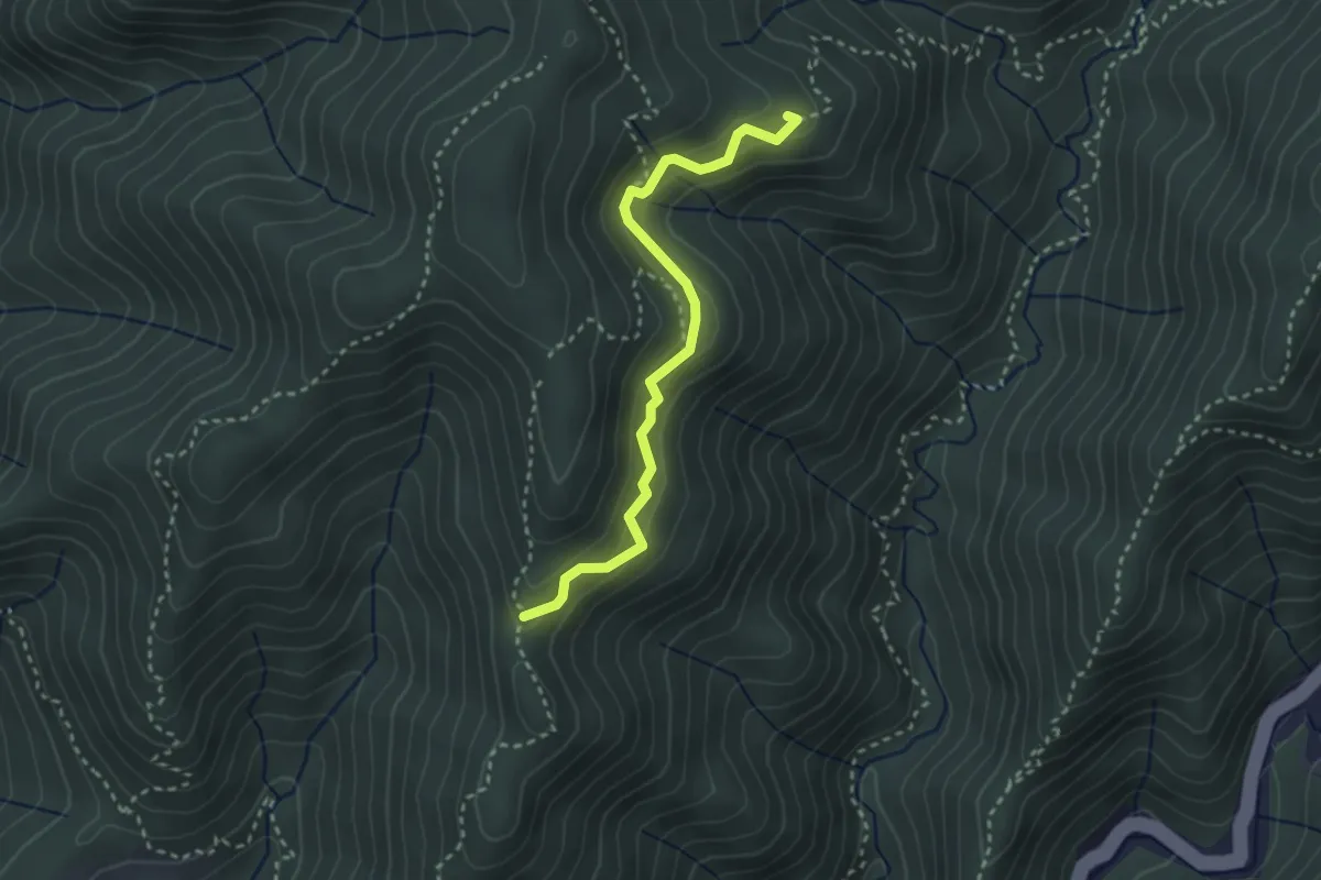
Medium · Summit
Valdiccioli – Sentiero 30
3.0 km · ↑ 221 m · 1 h 12 min · 9 km away
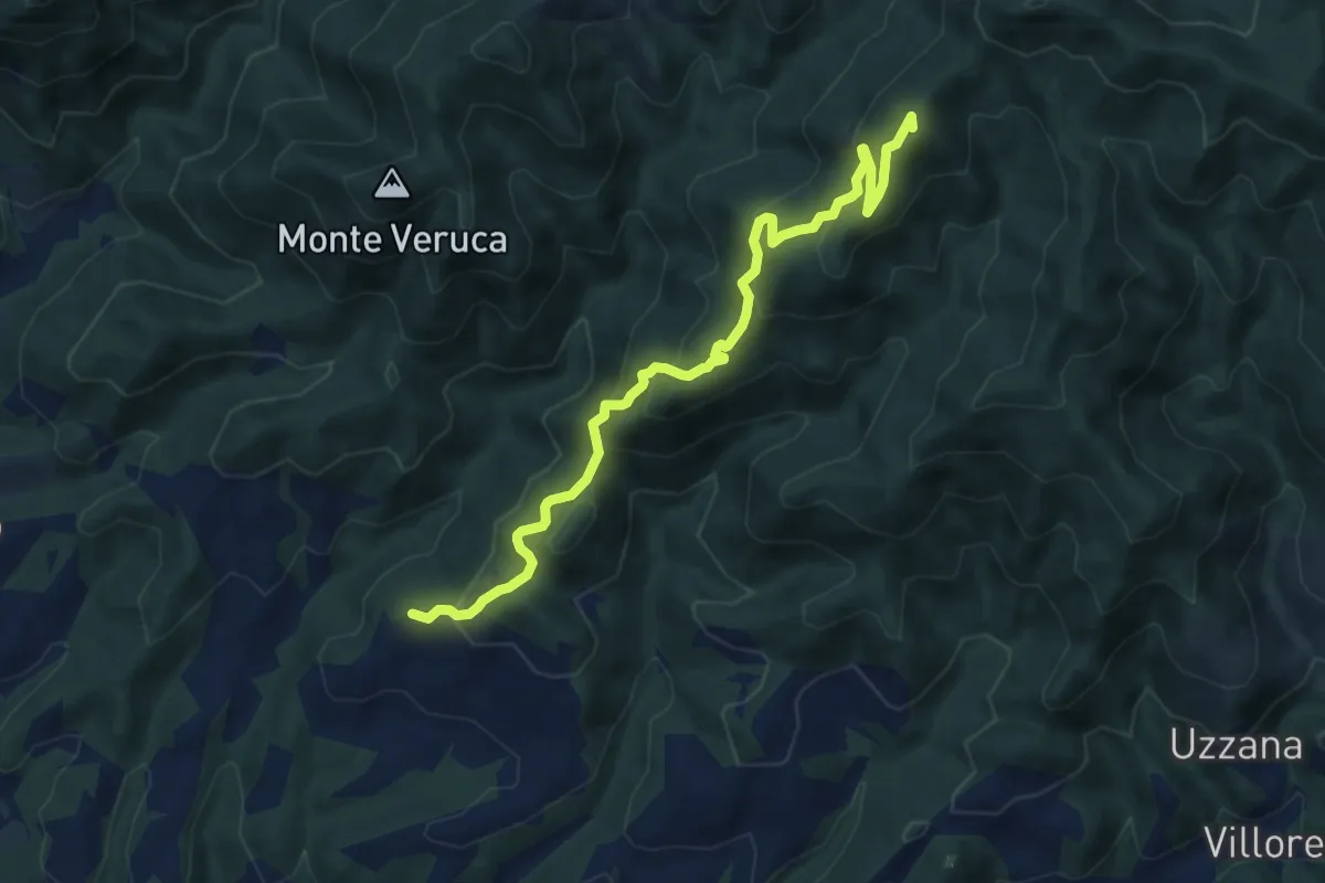
Medium · Summit
Vitigliano – Alpe di Vitigliano
10.1 km · ↑ 714 m · 3 h 56 min · 9 km away
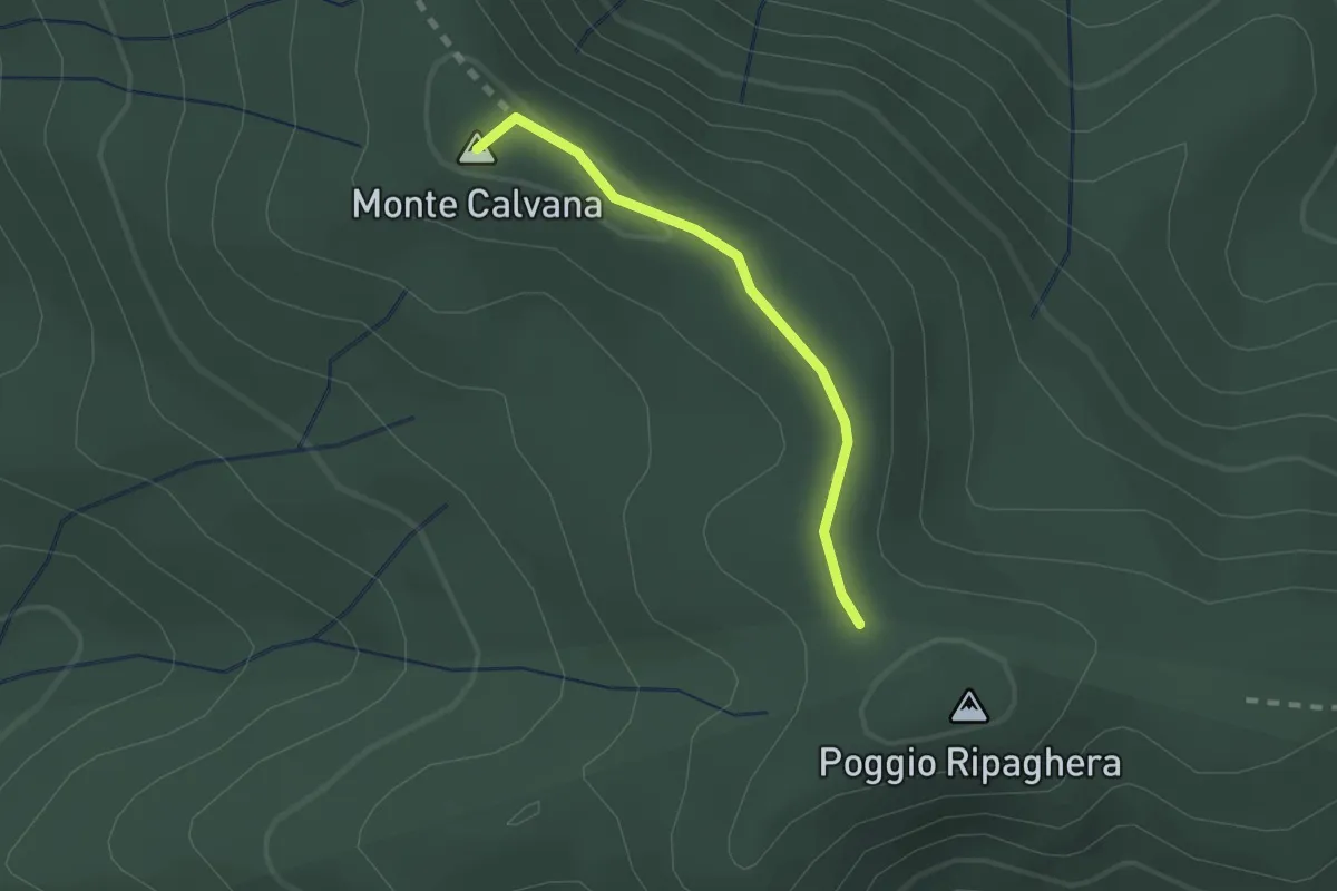
Easy · Summit
Ripaghera – Innesto sentiero 3A
1.8 km · ↑ 19 m · 27 min · 9 km away
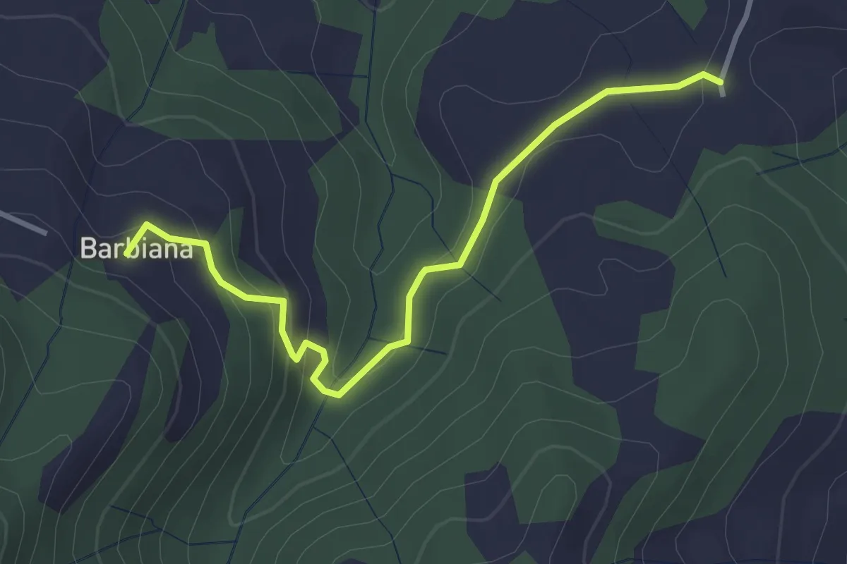
Easy · Trail
Variante itinerario 311 – Barbiana
3.4 km · ↑ 170 m · 1 h 10 min · 9 km away
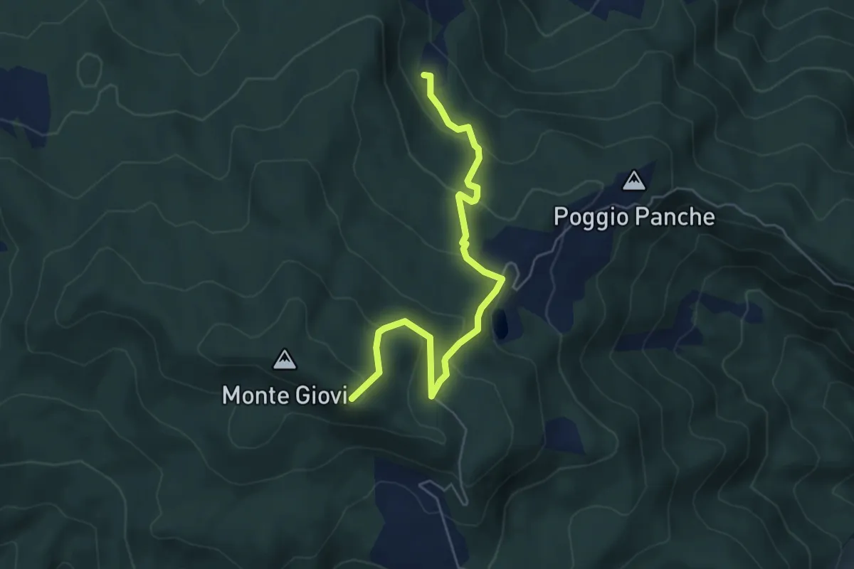
Demanding · Trail
Percorso 311 – Monte Tamburino
5.9 km · ↑ 296 m · 2 h 2 min · 9 km away
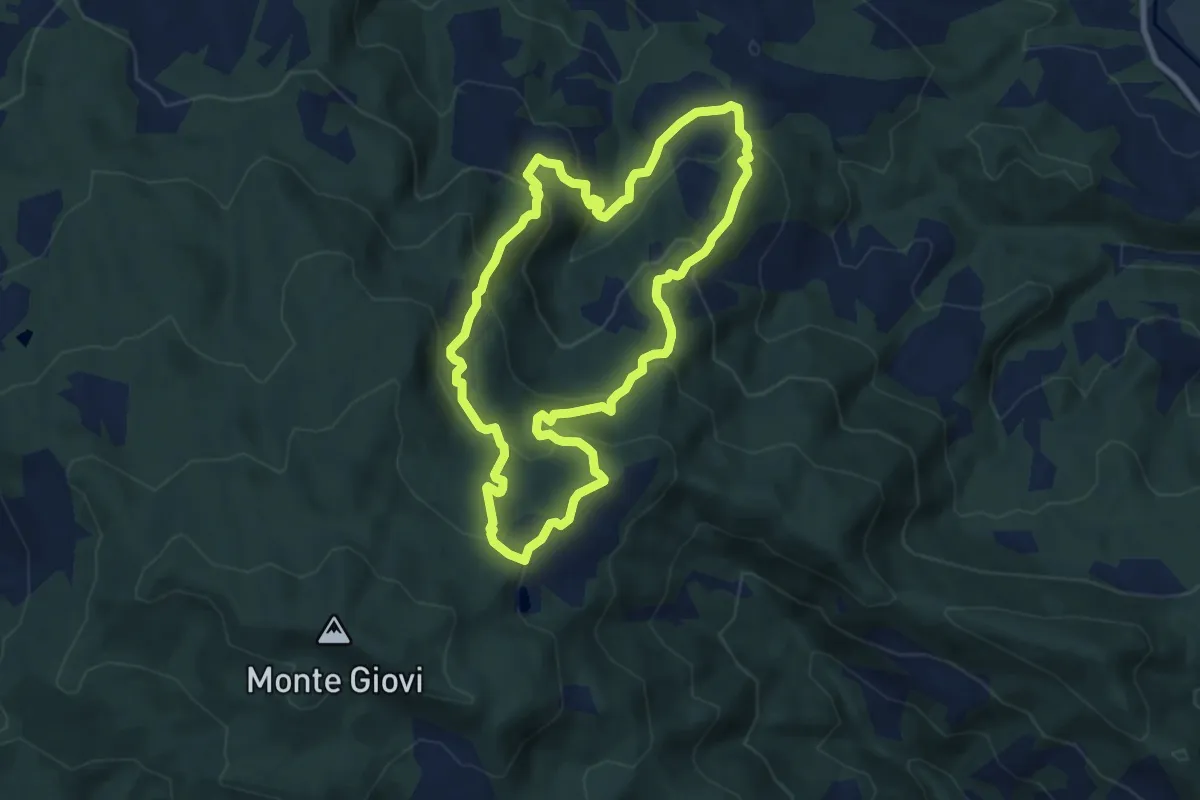
Demanding · Summit
Sorgenti di Firenze Trekking – Anello 5: Nei territori di Don Milani
8.3 km · ↑ 482 m · 3 h 7 min · 9 km away
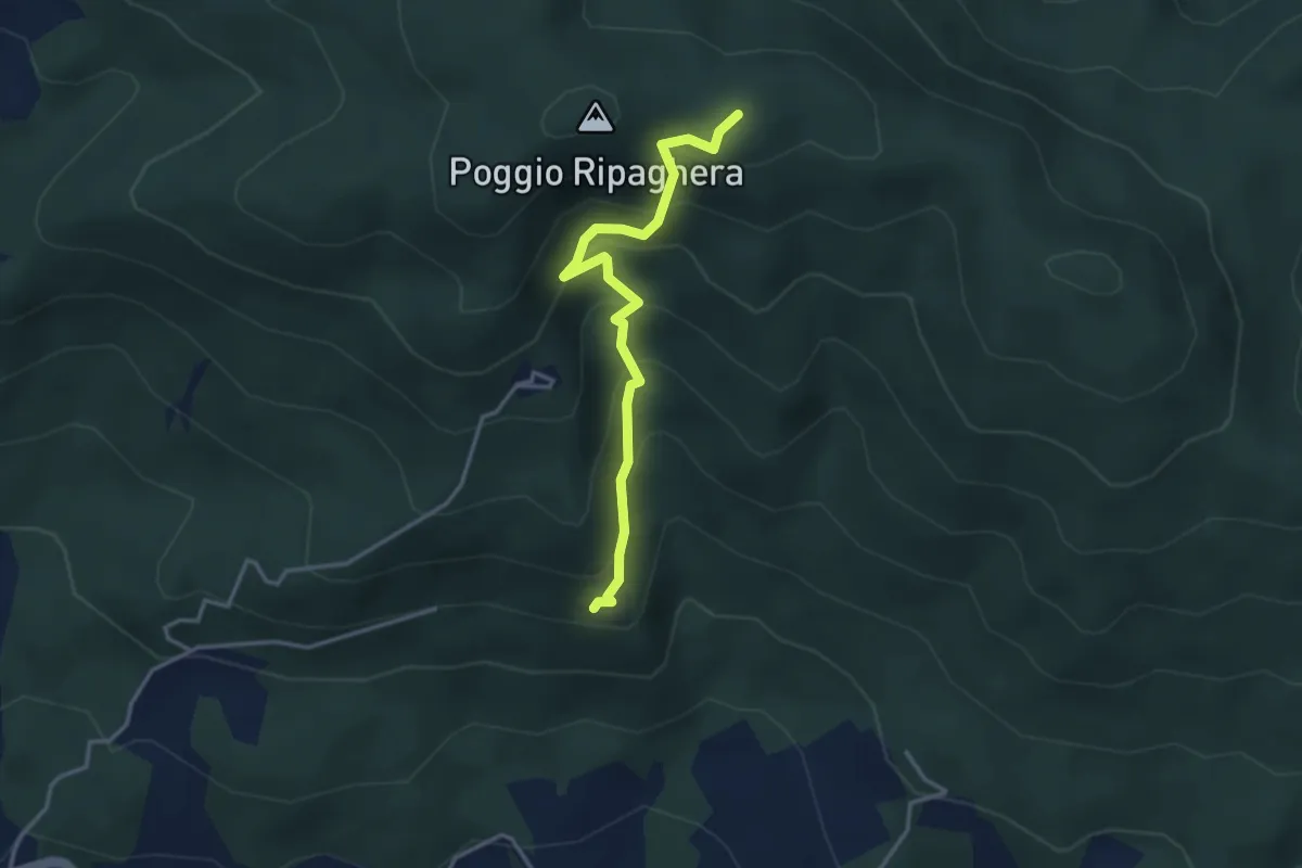
Medium · Trail
Madonna del Sasso – sentiero 00 (il Giogo)
3.6 km · ↑ 325 m · 1 h 33 min · 9 km away
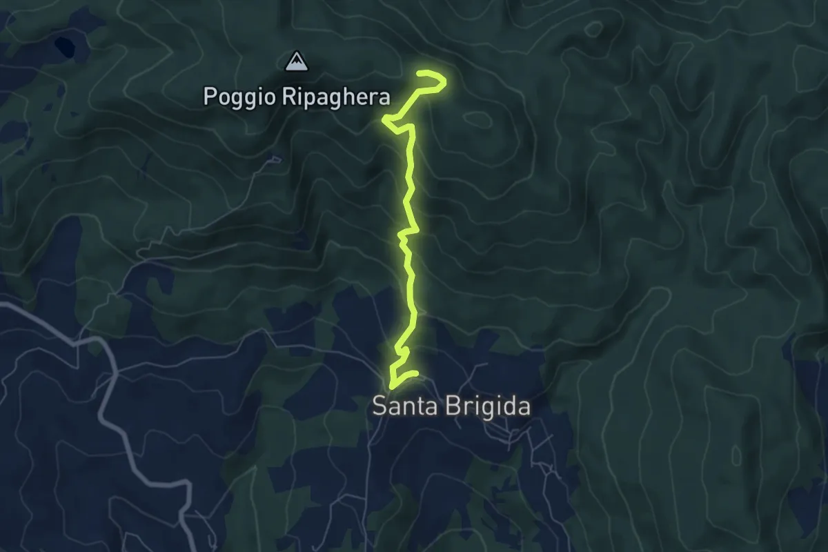
Medium · Trail
Santa Brigida – Il Giogo (Percorso 00)
5.9 km · ↑ 484 m · 2 h 27 min · 9 km away
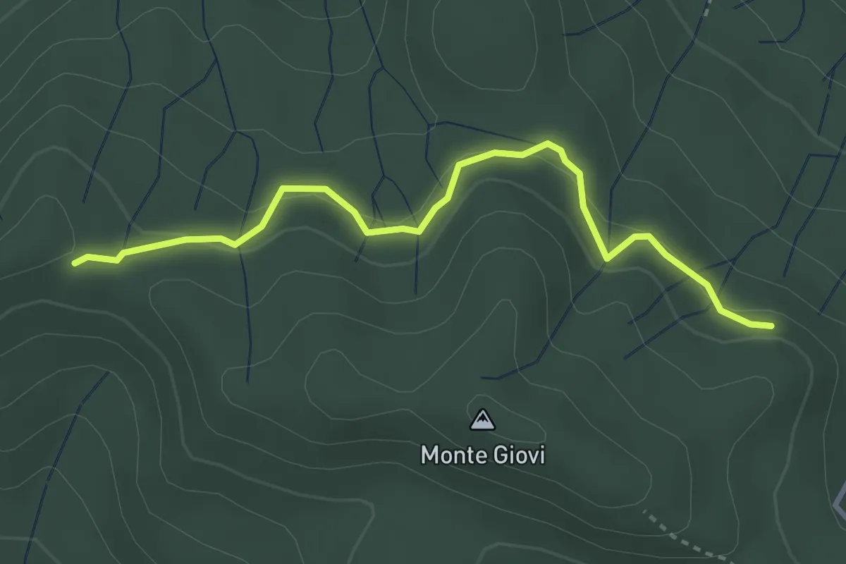
Easy · Trail
varco Casa Cerro – monumento Brigate Partigiane
3.5 km · ↑ 121 m · 1 h 6 min · 9 km away
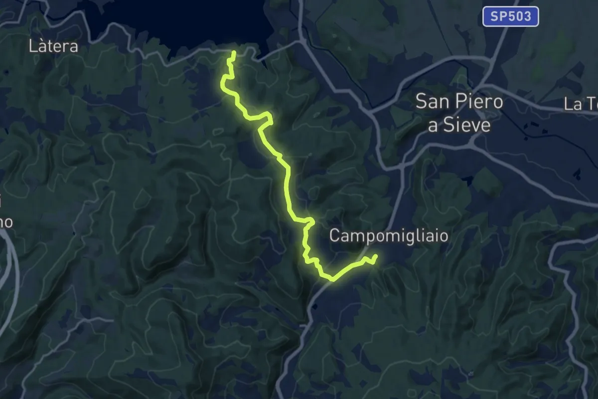
Medium · Trail
Lago di Bilancino – Campomigliaio
14.5 km · ↑ 513 m · 4 h 33 min · 9 km away
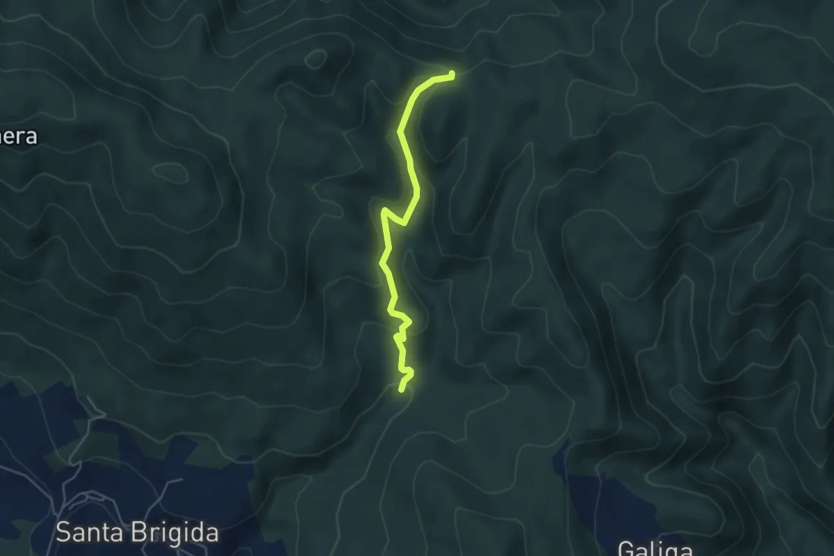
Easy · Trail
La Violana (Percorso 206) – Case Tagliaferro (Percorso 00)
4.3 km · ↑ 186 m · 1 h 25 min · 9 km away
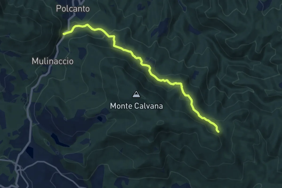
Medium · Trail
Polcanto – Monte Rotondo
10.5 km · ↑ 453 m · 3 h 28 min · 9 km away
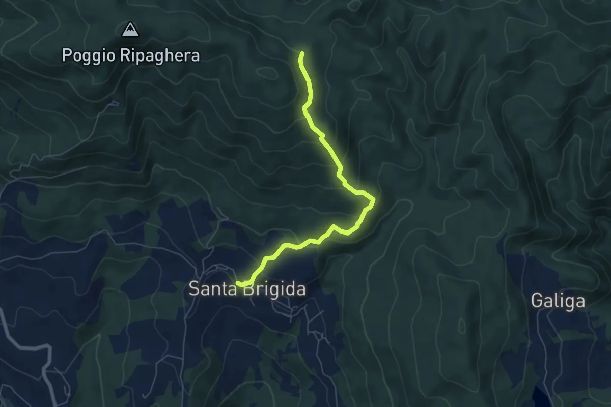
Medium · Trail
Santa Brigida – Cascina di Monterotondo (Percorso 00)
6.2 km · ↑ 366 m · 2 h 15 min · 9 km away