Trails near Bra
69 hikes starting within 15 km, nearest first.
Nearest first, page 2 of 2
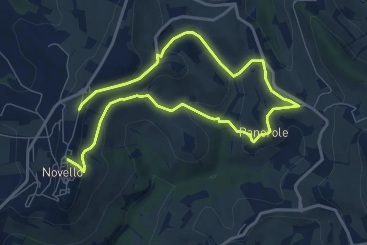
Medium · Trail
Sentiero Sol Levante
9.7 km · ↑ 321 m · 2 h 59 min · 13 km away
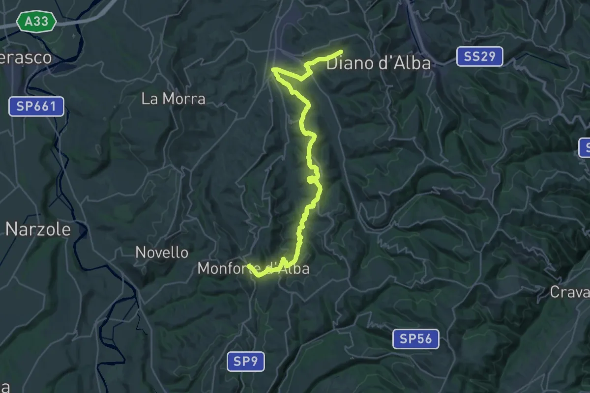
Medium · Trail
Diano d'Alba, frazione Carzello, bivio CNC302-CNC304 – Monforte d'Alba, bivio CNC301, CNC304, CNC309, CNC312, CNC303
15.4 km · ↑ 560 m · 4 h 56 min · 13 km away
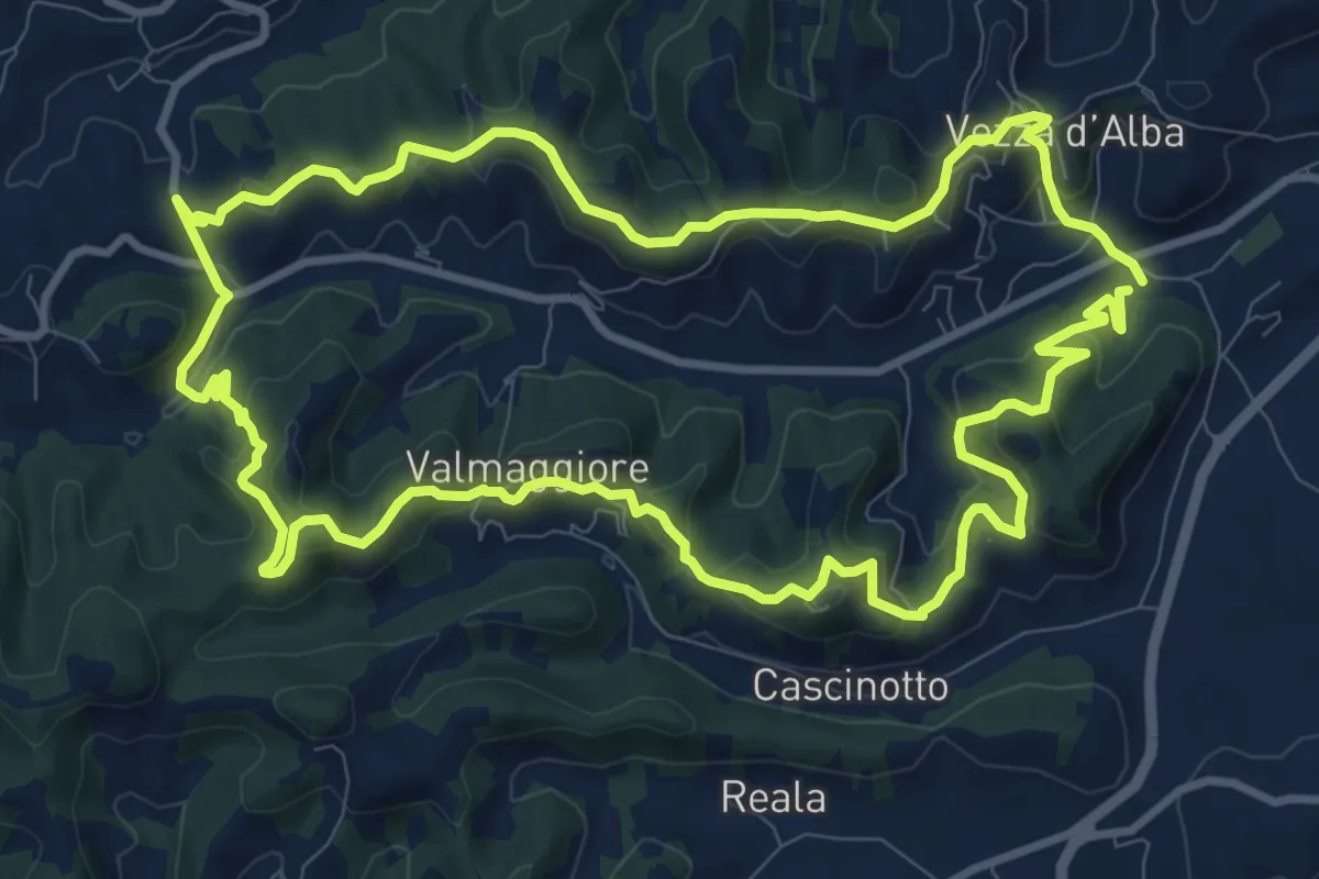
Medium · Trail
Sentiero del Tasso
11.4 km · ↑ 501 m · 3 h 56 min · 13 km away
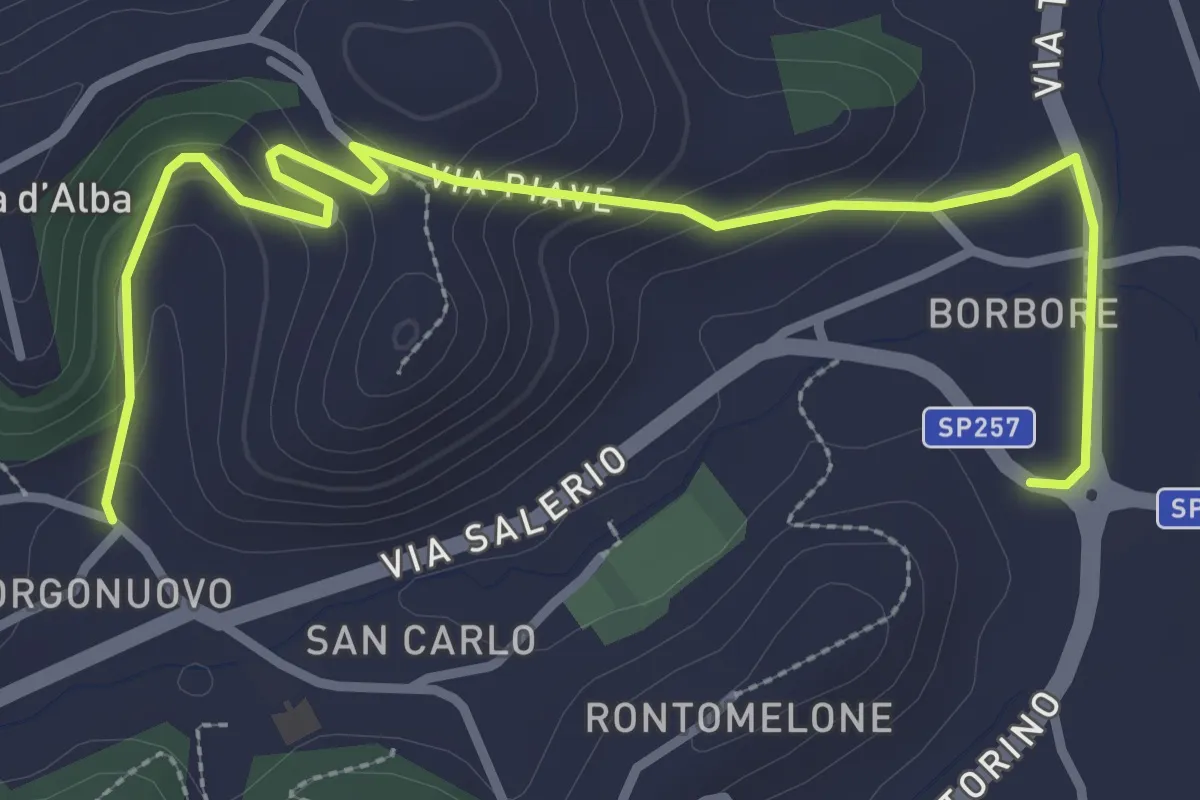
Easy · Trail
Borbore, bivio 409B-412 – Veza, bivio 409-409B
3.8 km · ↑ 170 m · 1 h 16 min · 13 km away
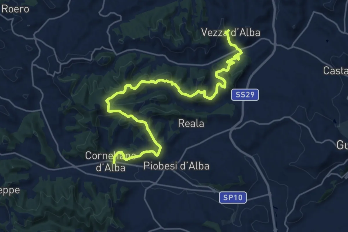
Demanding · Trail
Cornegliano d'Alba, centro paese, bivio CNC409, CNC419 – Vezza d'Alba, bivio CNC409, CNC410
20.0 km · ↑ 820 m · 6 h 30 min · 13 km away
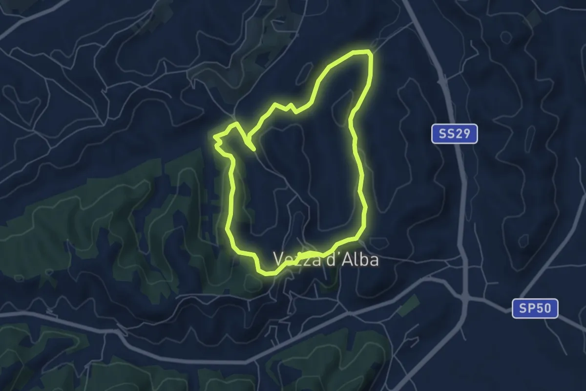
Easy · Trail
Sentiero del Trifolao
5.6 km · ↑ 190 m · 1 h 48 min · 13 km away
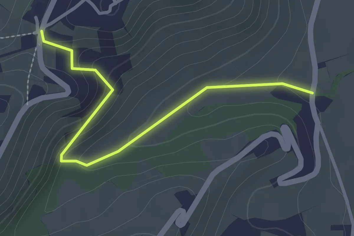
Easy · Trail
Castiglione Falletto, strada Comunale dello Scarrone, bivio CNC308-CNC308F – Castiglione Falletto, cascina del Pilone, bivio CNC303-CNC308F
2.7 km · ↑ 102 m · 52 min · 13 km away
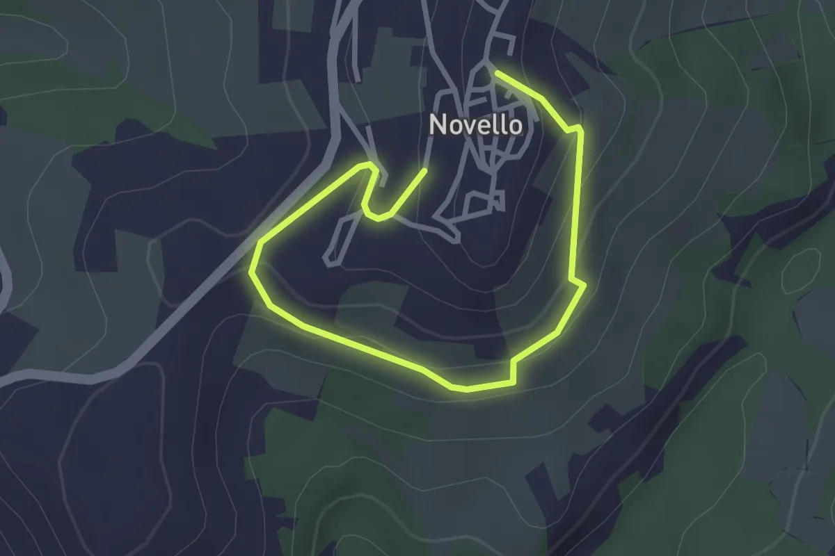
Easy · Trail
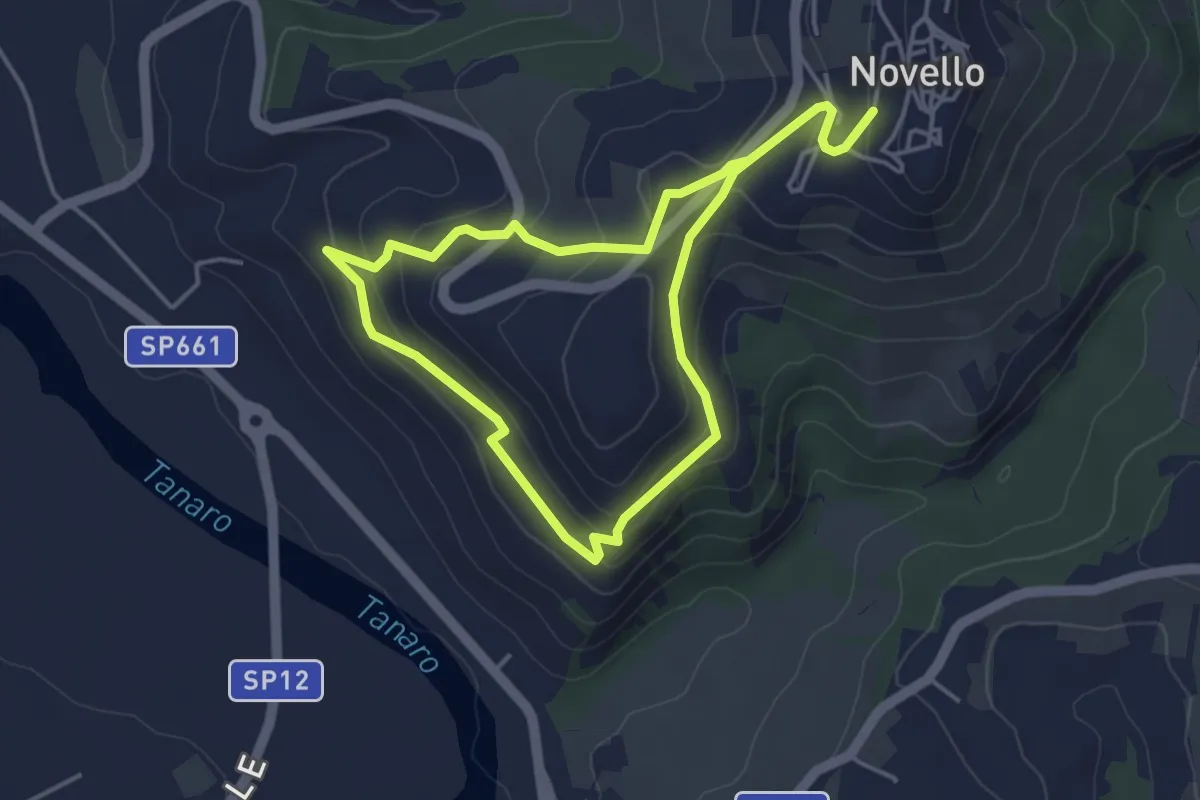
Sentiero Sotto Castello
3.7 km · ↑ 165 m · 1 h 14 min · 13 km away
Easy · Trail
Sentiero Rocche di San Nicola
7.3 km · ↑ 311 m · 2 h 24 min · 14 km away
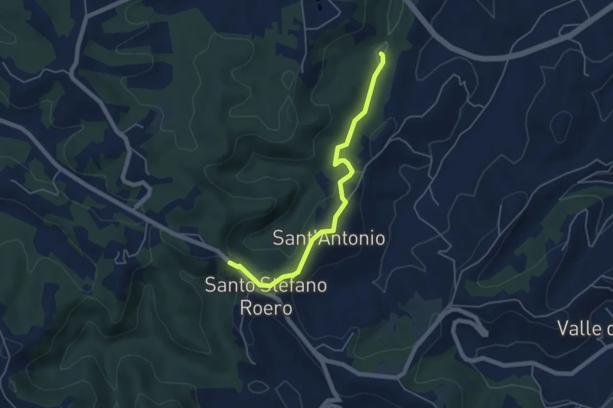
Easy · Trail
Montà, presso Costa Valteppe, bivio CNC401-CNC414 – Santo Stefano Roero, bivio CNC401-CNC414
4.4 km · ↑ 161 m · 1 h 23 min · 14 km away
Easy · Trail
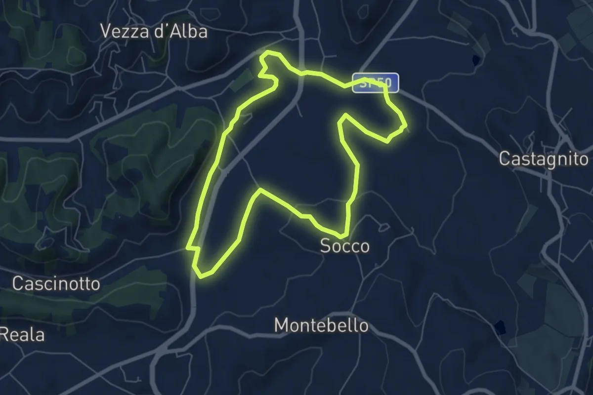
Sentiero della Pera Madernassa
6.3 km · ↑ 117 m · 1 h 49 min · 14 km away
Medium · Trail
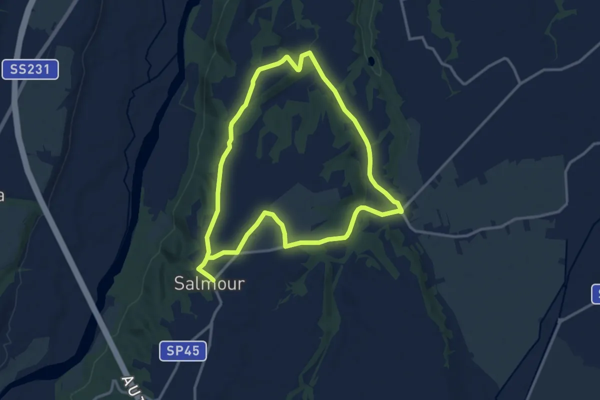
Anello di Salmour
9.6 km · ↑ 67 m · 2 h 33 min · 14 km away
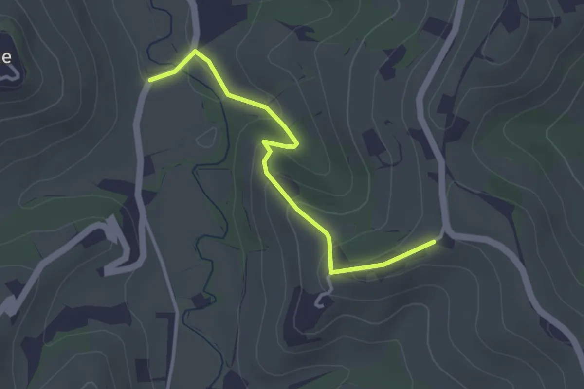
Easy · Trail
C.se Parafada – Castiglione Falletto
3.0 km · ↑ 146 m · 1 h 1 min · 14 km away
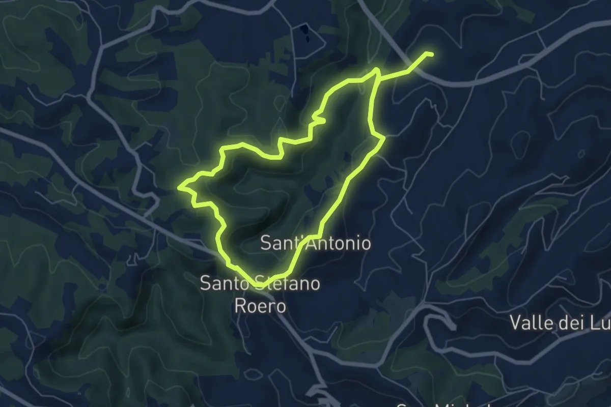
Medium · Trail
Sentiero del Gioco
11.1 km · ↑ 400 m · 3 h 30 min · 14 km away
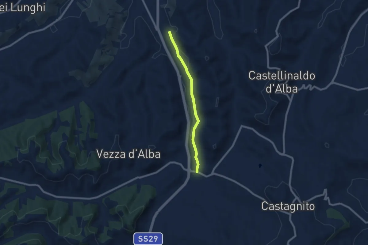
Easy · Trail
Sentiero del Torion
5.2 km · ↑ 22 m · 1 h 16 min · 14 km away
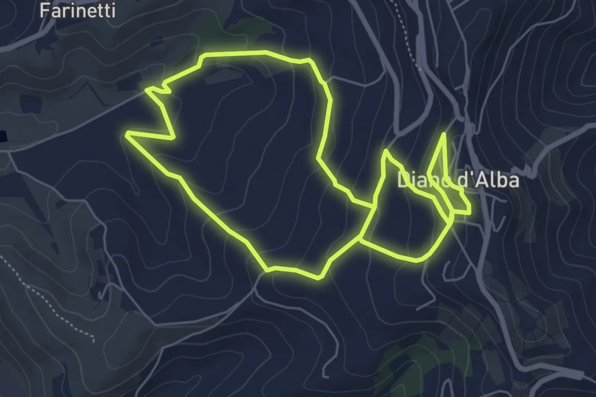
Easy · Trail
Grinzane Cavour – Diano d'Alba
5.8 km · ↑ 257 m · 2 h · 14 km away
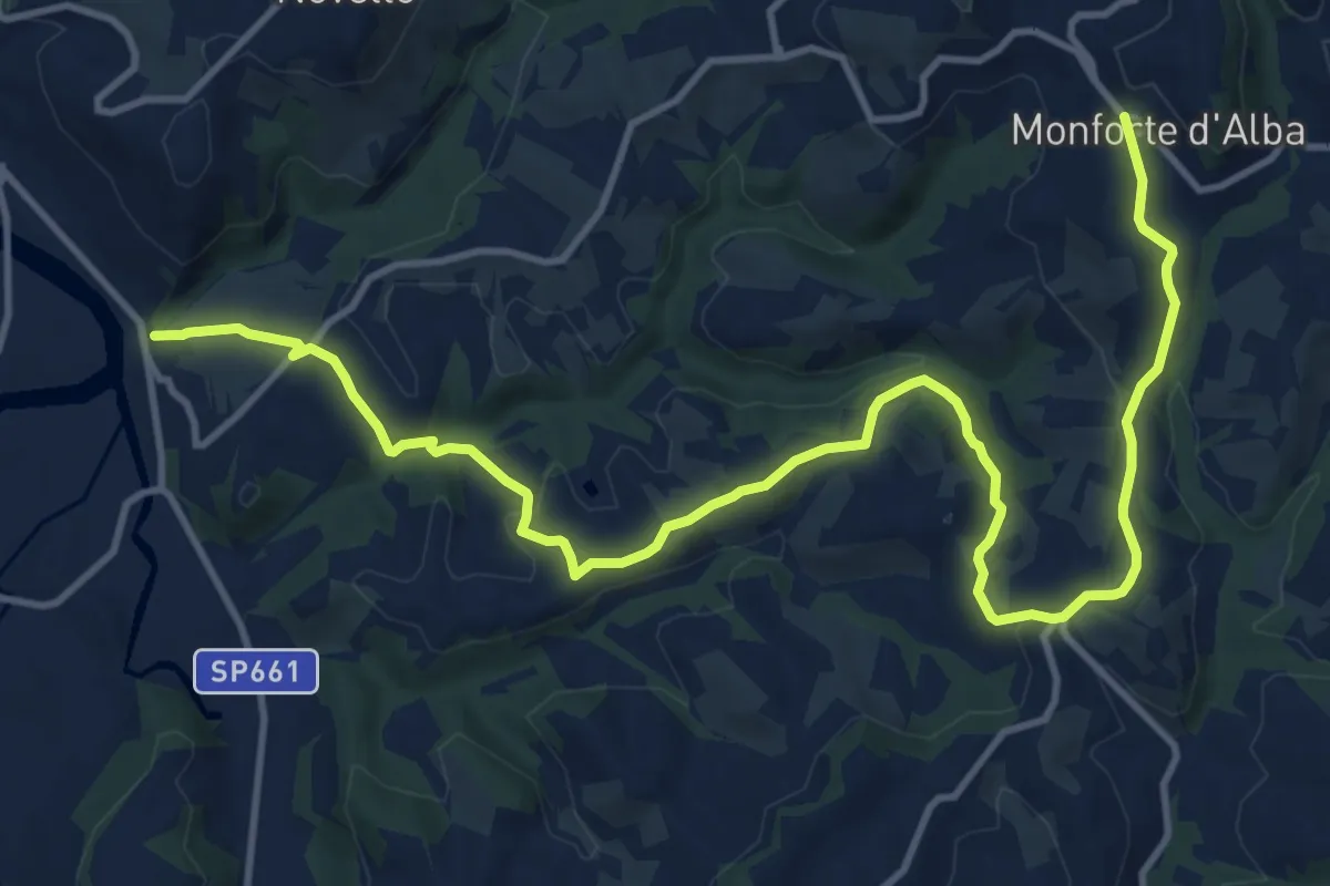
Medium · Trail
Monforte d'Alba, piazza Umerto I, bivio CNC301, CNC303, CNC304, CNC309, CNC312 – Monchiero, presso cascina Nuova, bivio CNC305, CNC309
16.3 km · ↑ 429 m · 4 h 47 min · 15 km away
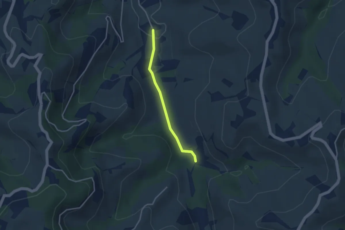
Easy · Trail
Bivio sentiero 308 – Bivio sentiero 304
2.3 km · ↑ 49 m · 39 min · 15 km away
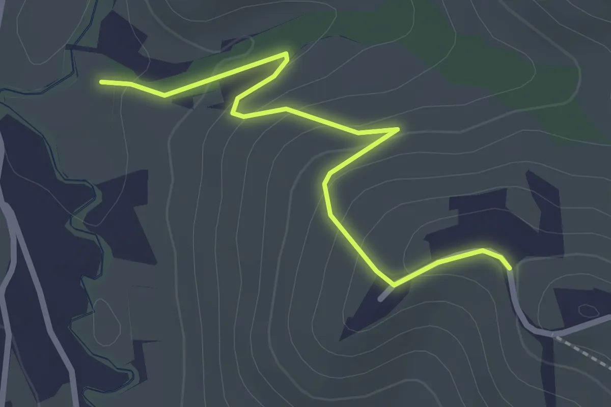
Easy · Trail
Serralunga d'Alba, bivio CNC308, CNC304B – Serralunga d'Alba, località I Vei, bivio CNC304, CNC304B
2.5 km · ↑ 116 m · 51 min · 15 km away
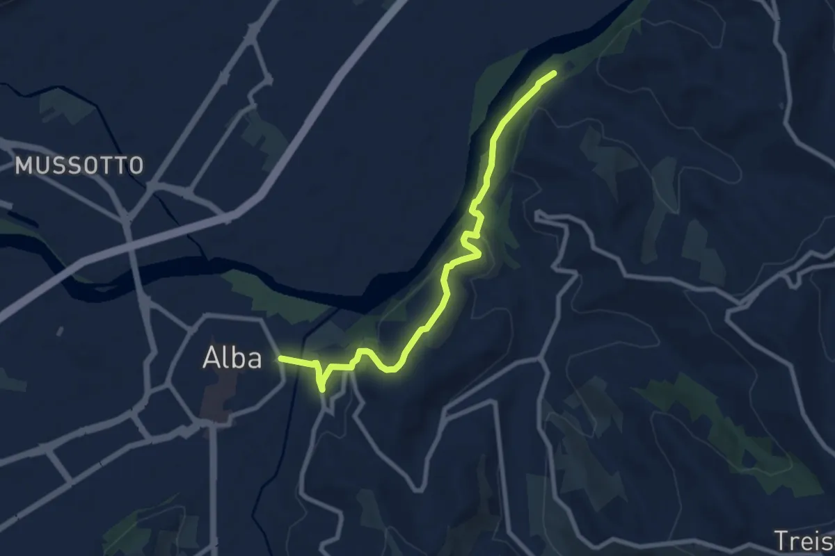
Easy · Trail
Barbaresco, casa Pagliuzzi, bivio CNC313, CNC324 – Alba, viale Cherasca
7.9 km · ↑ 235 m · 2 h 23 min · 15 km away
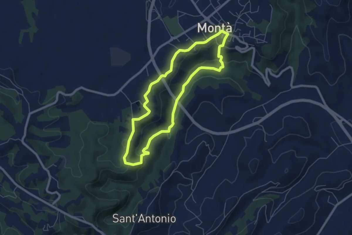
Easy · Trail
Sentiero Religioso
5.3 km · ↑ 137 m · 1 h 37 min · 15 km away