Trails near Bracciano
49 hikes starting within 15 km, nearest first.
Nearest first, page 1 of 2
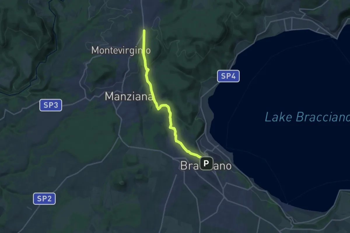
Medium · Trail
Oriolo Romano - Pisciarelli - Bracciano
16.3 km · ↑ 328 m · 4 h 33 min · under 1 km away
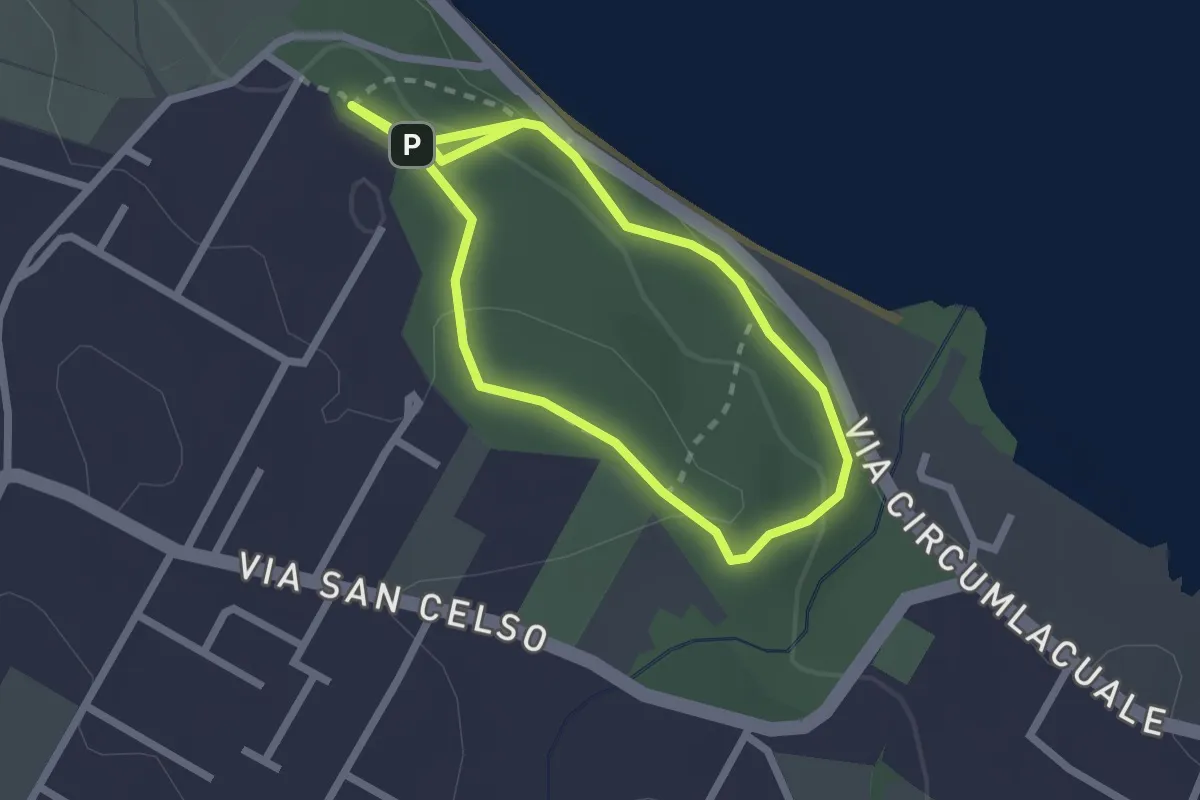
Easy · Trail
Bosco San Celso
2.1 km · ↑ 55 m · 40 min · 2 km away
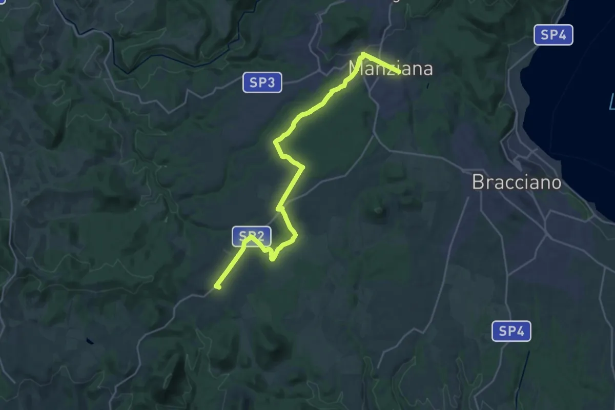
Demanding · Trail
Il Cammino dei Vulcani - Tappa 5
24.8 km · ↑ 269 m · 6 h 26 min · 5 km away
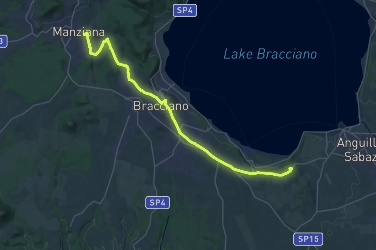
Demanding · Summit
Il Cammino dei Vulcani - Tappa 4
27.7 km · ↑ 399 m · 7 h 25 min · 5 km away
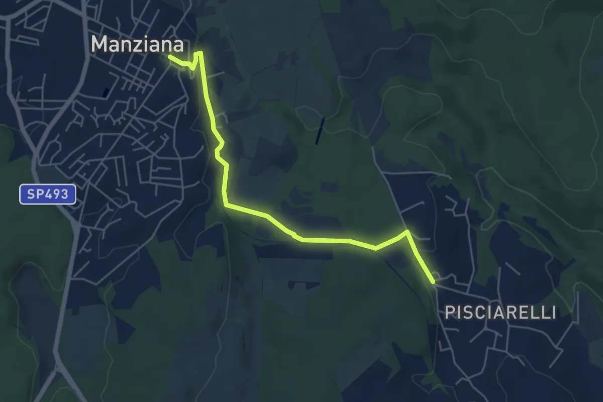
Easy · Trail
Manziana - Pisciarelli
5.4 km · ↑ 106 m · 1 h 30 min · 5 km away
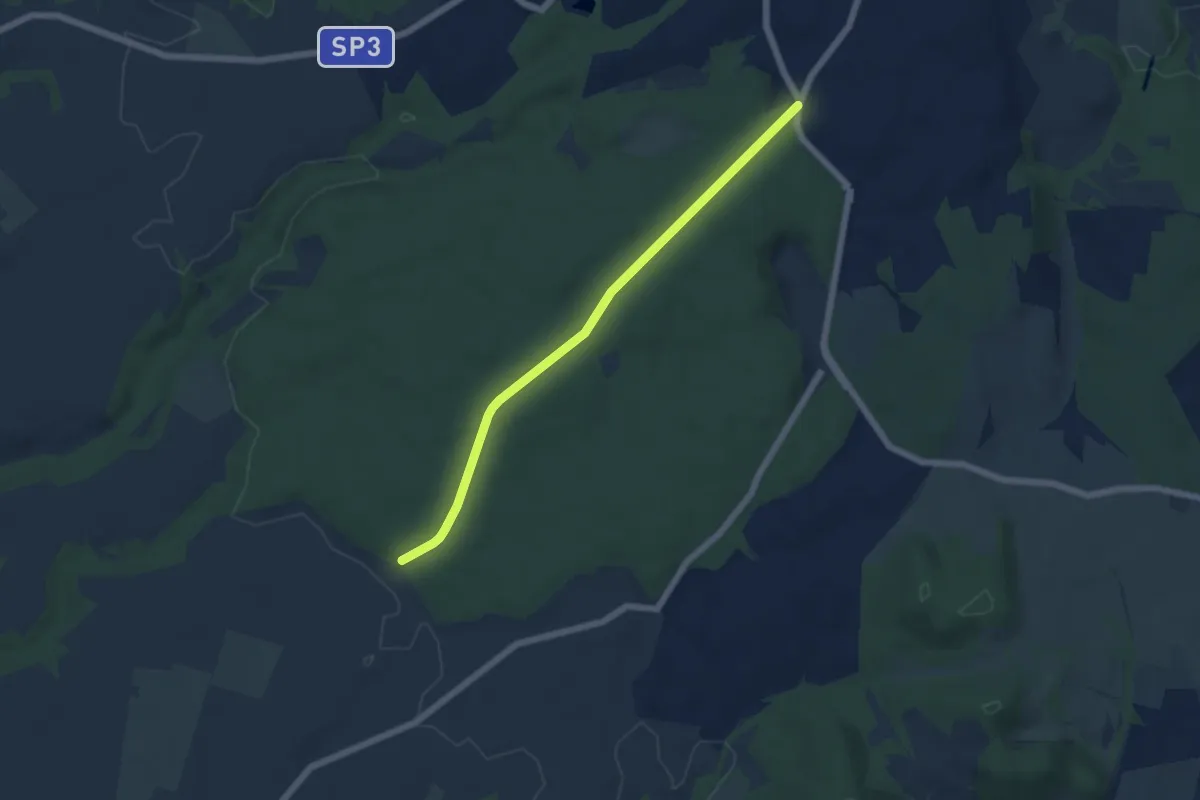
Easy · Trail
Manziana – Caldara di Manziana
5.9 km · ↑ 71 m · 1 h 32 min · 5 km away
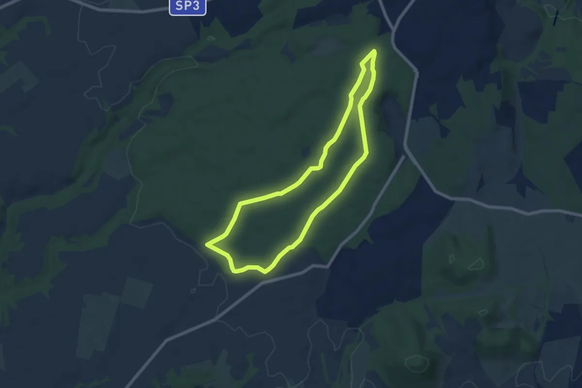
Easy · Trail
Sentiero alberi monumentali
6.3 km · ↑ 61 m · 1 h 43 min · 5 km away
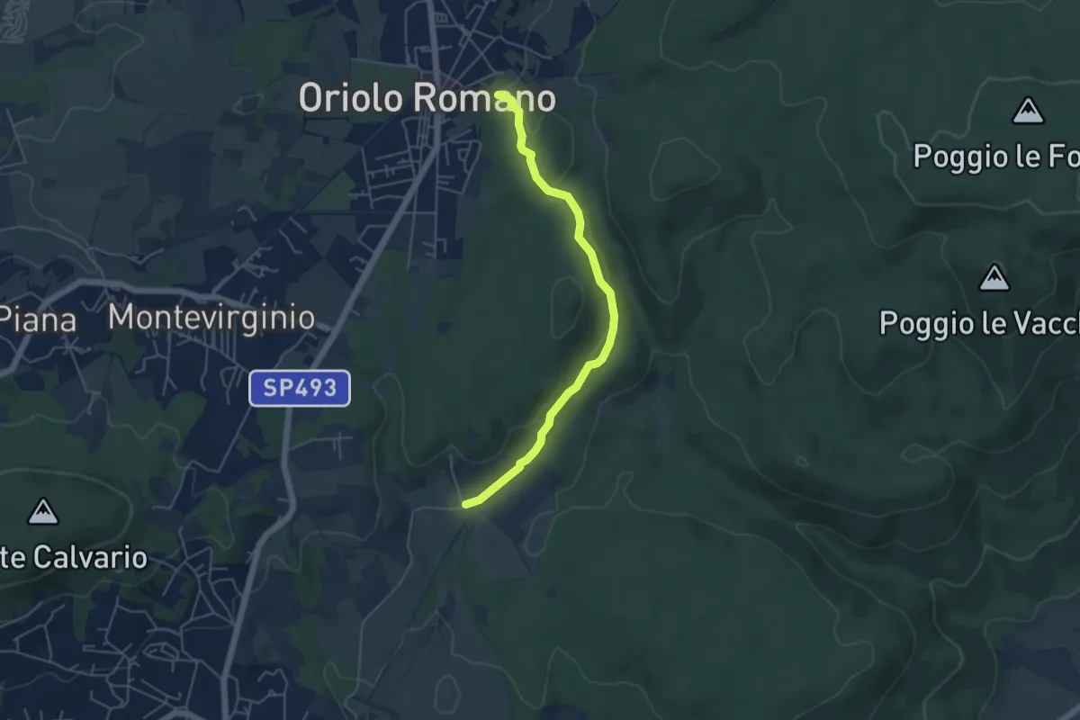
Easy · Trail
Fontana Vecchia - Tre Cancelli
5.1 km · ↑ 96 m · 1 h 24 min · 5 km away
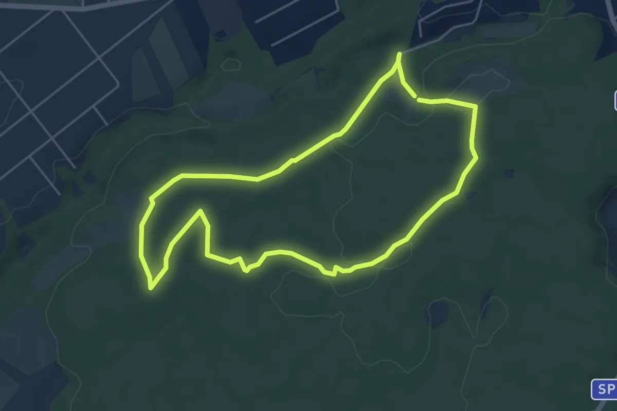
Easy · Trail
Sentiero Bologno
4.9 km · ↑ 62 m · 1 h 22 min · 6 km away
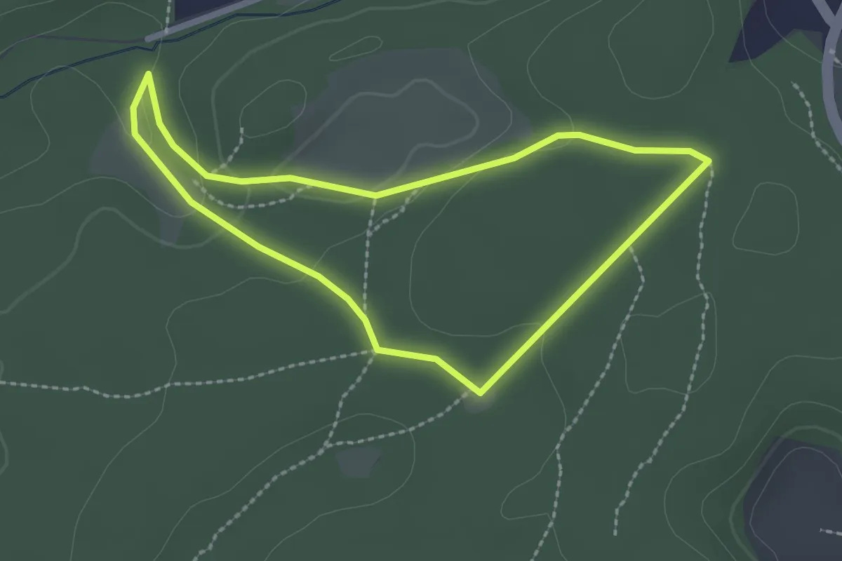
Easy · Trail
Sentiero cinema
2.3 km · ↑ 42 m · 40 min · 6 km away
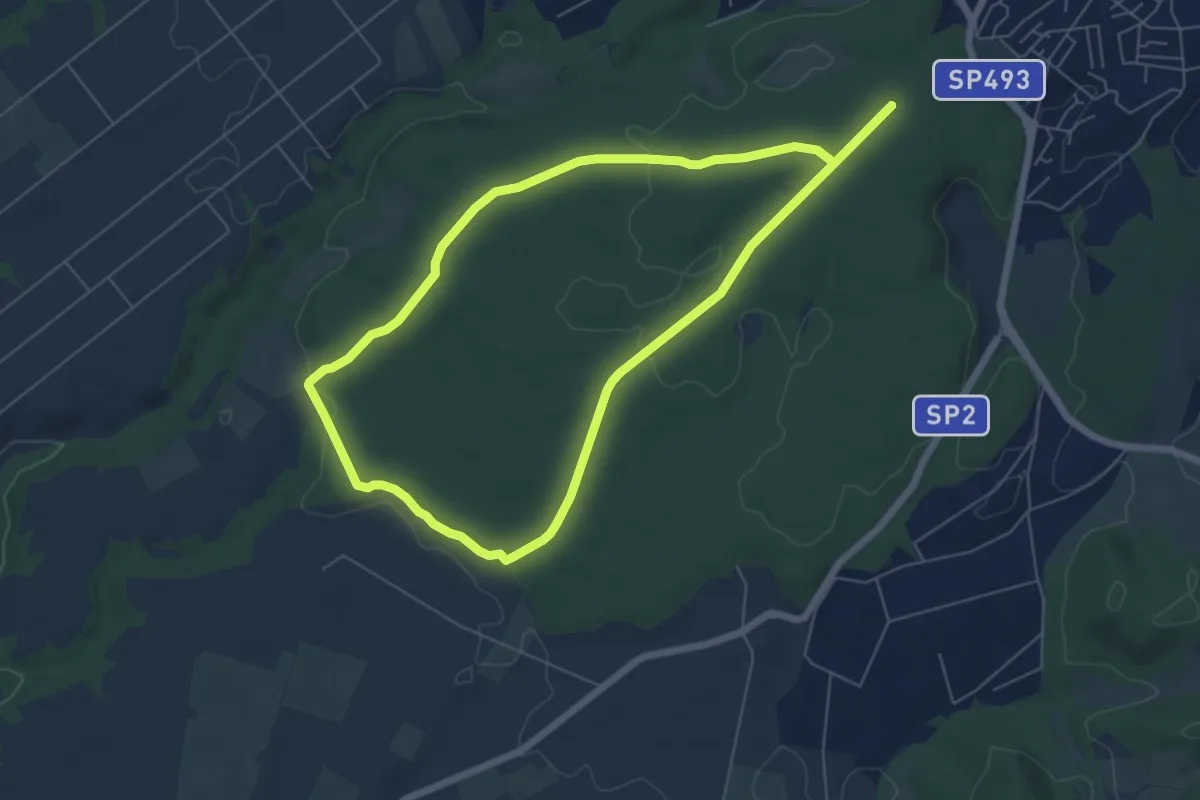
Easy · Trail
Sentiero fontanili
6.5 km · ↑ 83 m · 1 h 49 min · 7 km away
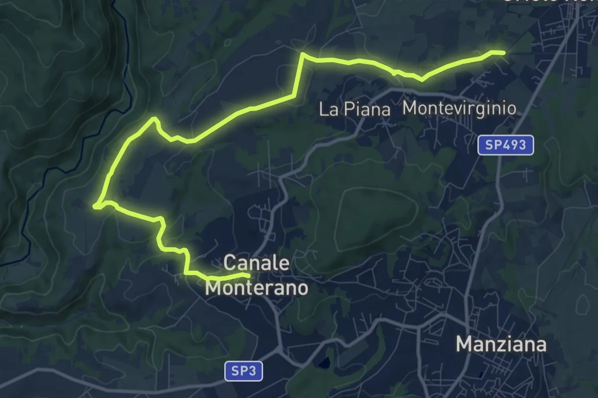
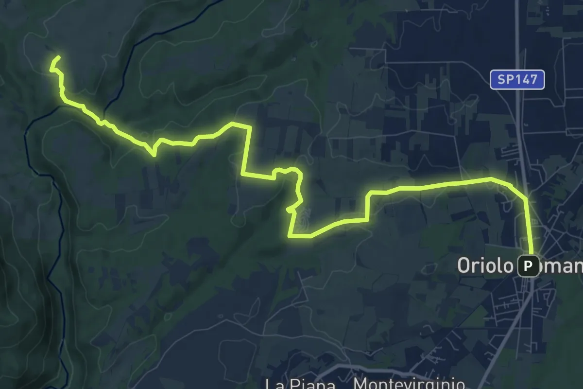
Medium · Trail
Canale Monterano – Oriolo Romano
13.7 km · ↑ 275 m · 3 h 50 min · 7 km away
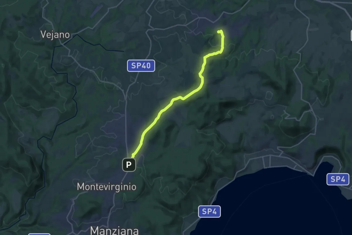
Medium · Trail
Oriolo Romano – Sentiero 139
14.3 km · ↑ 287 m · 3 h 59 min · 7 km away
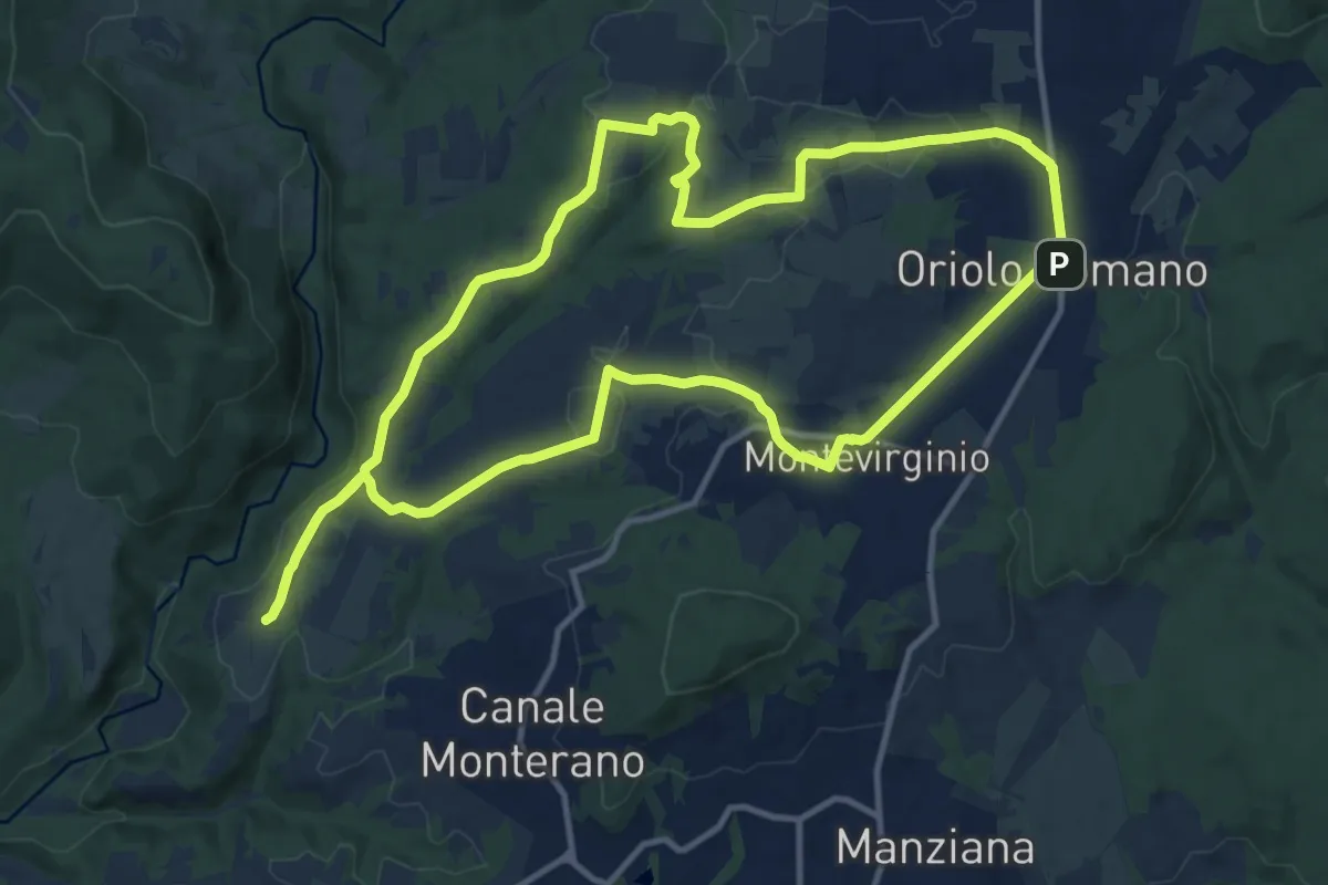
Demanding · Trail
Oriolo Romano – Bassano Romano
18.5 km · ↑ 392 m · 5 h 13 min · 7 km away
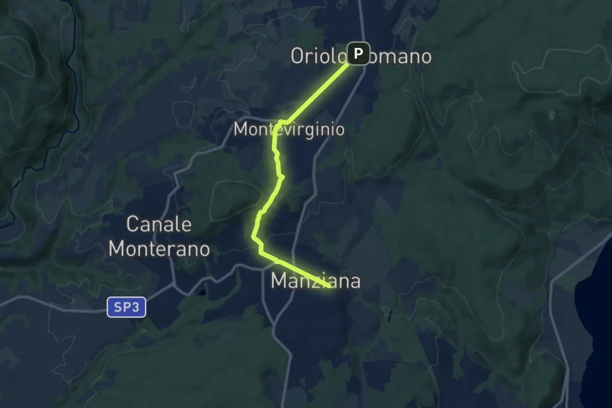
Medium · Trail
Paesaggi di Borghi - Anello sud
14.0 km · ↑ 202 m · 3 h 56 min · 7 km away
Medium · Trail
Oriolo Romano – Manziana
9.5 km · ↑ 189 m · 2 h 40 min · 7 km away
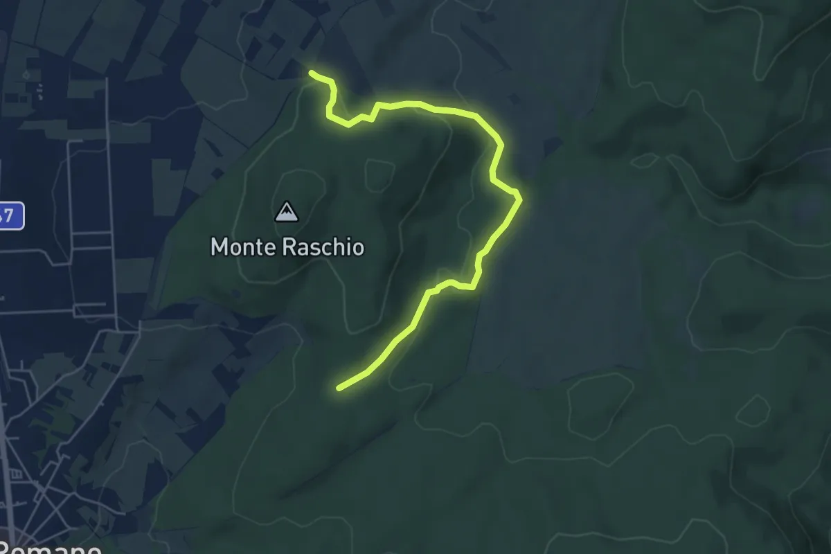
Medium · Trail
175C – Strada Bassanese
6.0 km · ↑ 145 m · 1 h 43 min · 7 km away
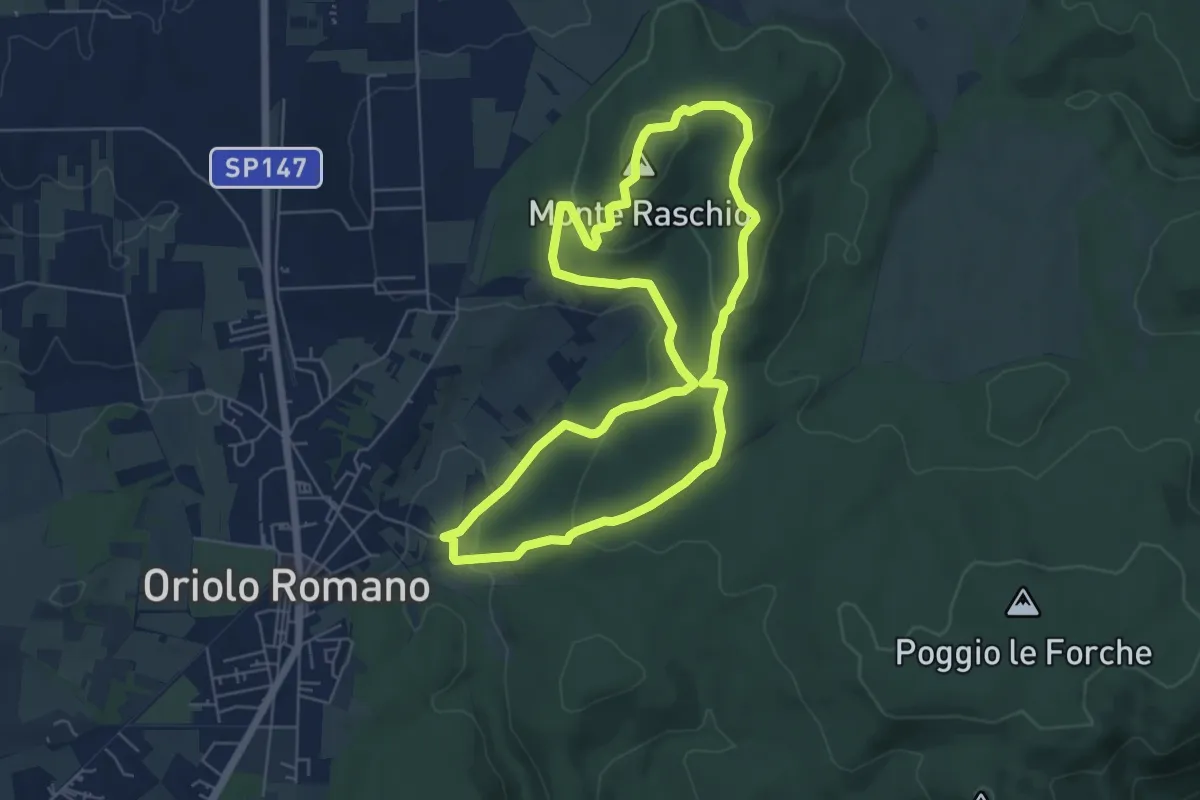
Easy · Summit
Sentiero Faggeta Unesco
6.3 km · ↑ 197 m · 2 h 1 min · 8 km away
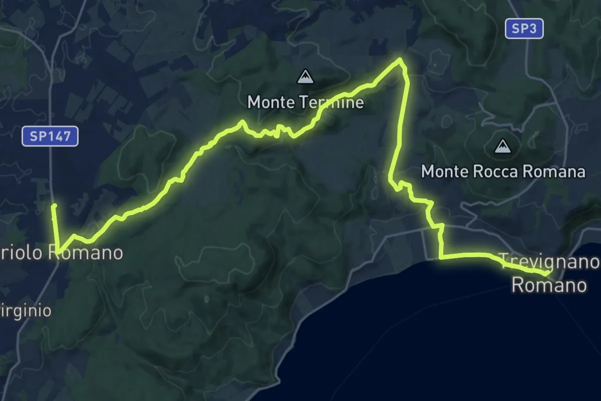
Medium · Trail
Il Cammino dei Vulcani - Tappa 1
16.0 km · ↑ 253 m · 4 h 40 min · 8 km away
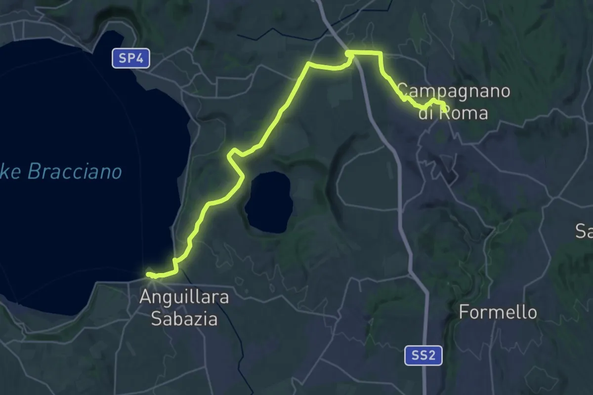
Medium · Trail
Il Cammino dei Vulcani - Tappa 3
16.2 km · ↑ 270 m · 4 h 34 min · 8 km away
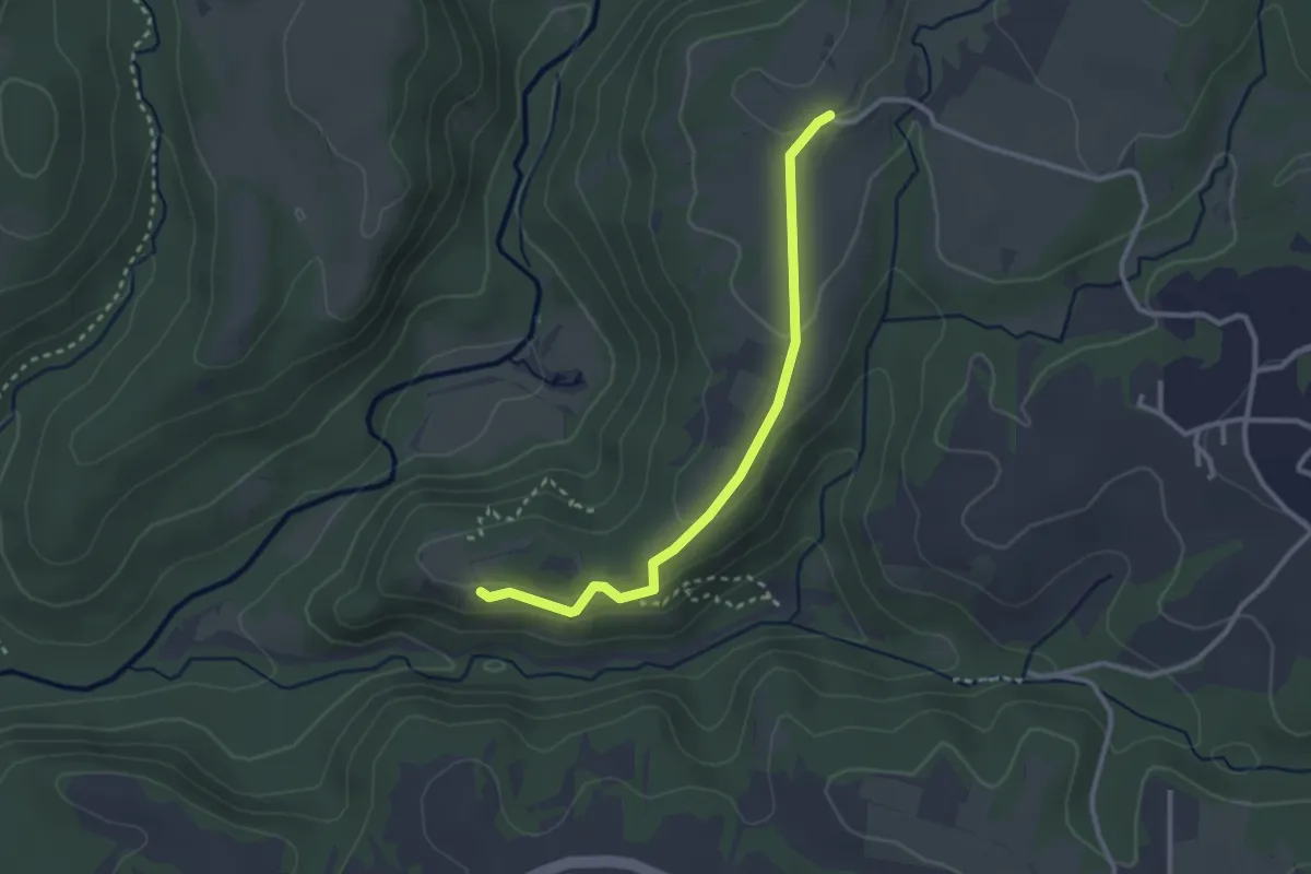
Easy · Trail
Monterano – sent. 265
3.0 km · ↑ 71 m · 51 min · 9 km away
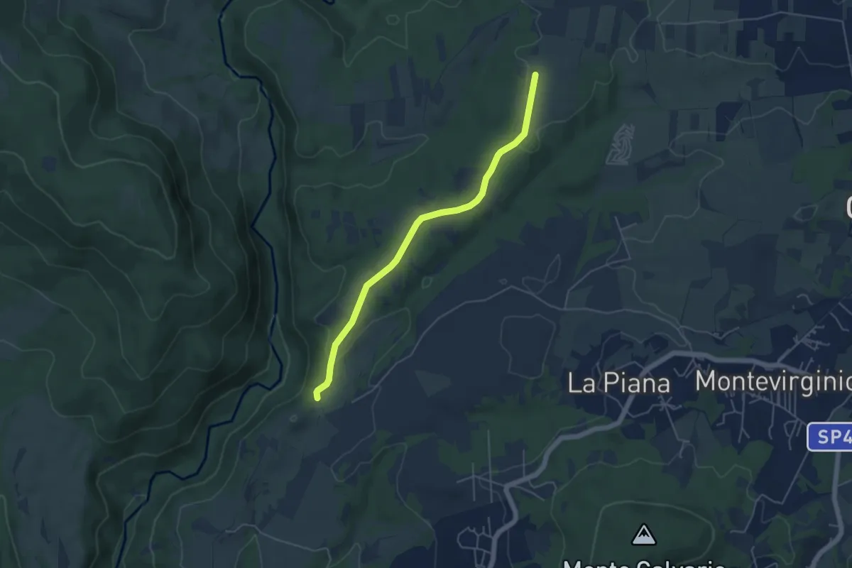
Easy · Trail
Pozzo Tufo – Ara di San Baccano
5.1 km · ↑ 71 m · 1 h 21 min · 9 km away
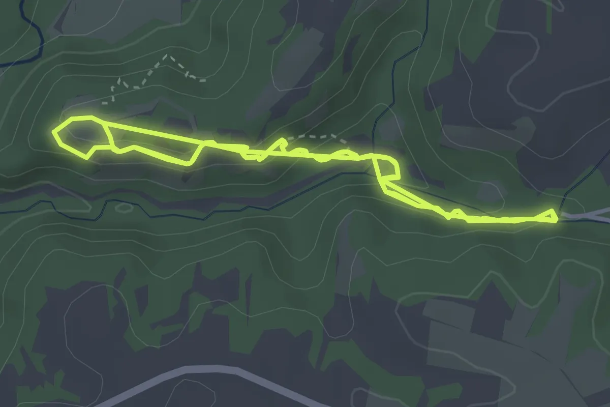
Easy · Trail
Bicione
4.5 km · ↑ 182 m · 1 h 30 min · 9 km away
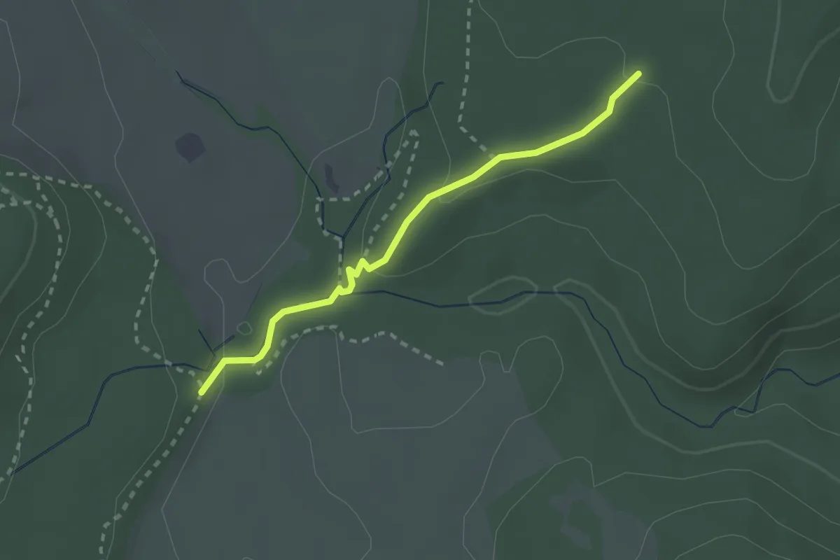
Medium · Trail
Fosso di Giovannaccio
2.4 km · ↑ 64 m · 43 min · 9 km away
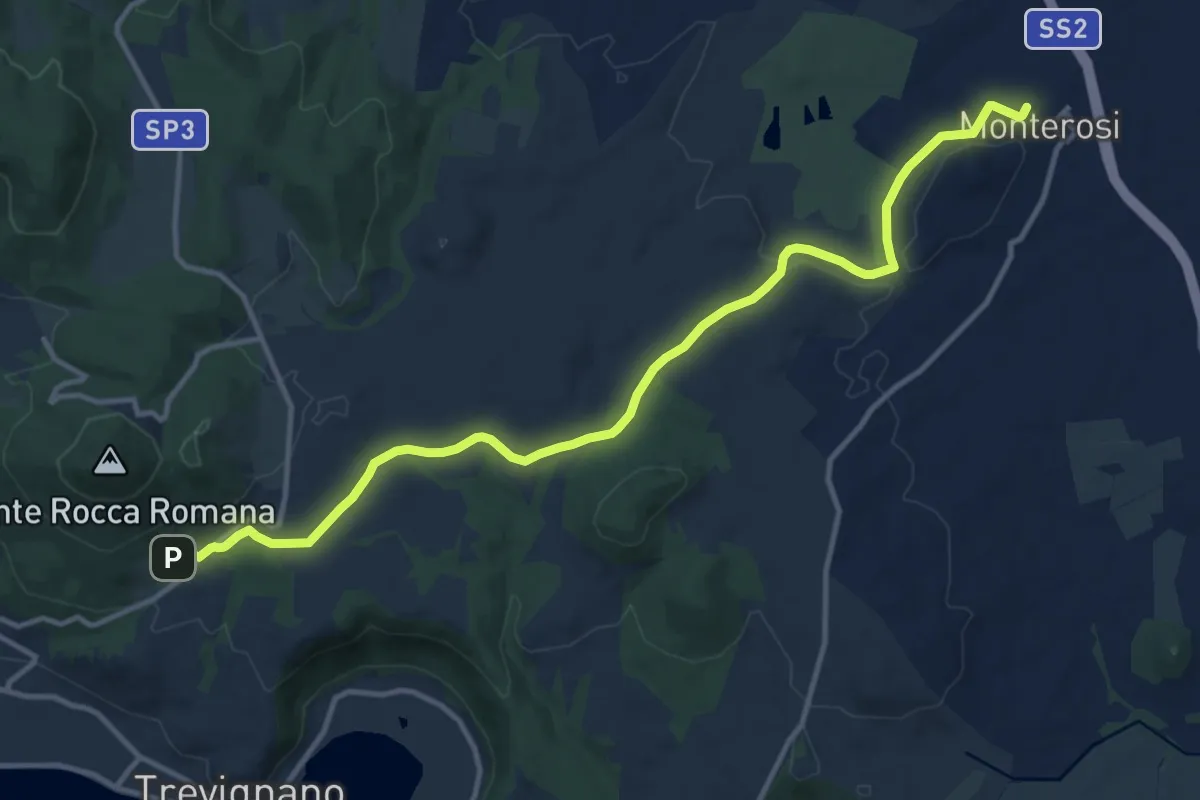
Medium · Trail
Campo Sportivo Trevignano Romano – Monterosi
14.7 km · ↑ 184 m · 3 h 53 min · 10 km away
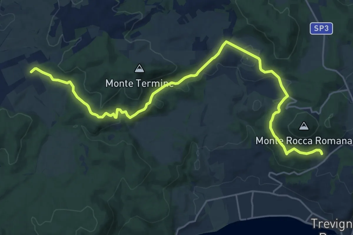
Demanding · Trail
Ciclovia dei Boschi
20.5 km · ↑ 518 m · 5 h 57 min · 10 km away
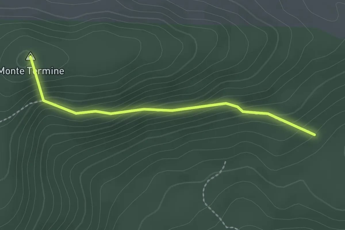
Easy · Summit
Stracciacappello – Strada di Fonte Chiappino
2.1 km · ↑ 169 m · 52 min · 10 km away
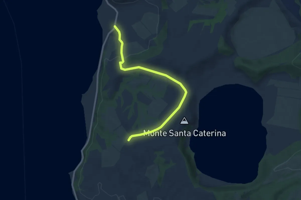
Easy · Trail
270 – Lungolago Polline
7.7 km · ↑ 122 m · 2 h 5 min · 10 km away
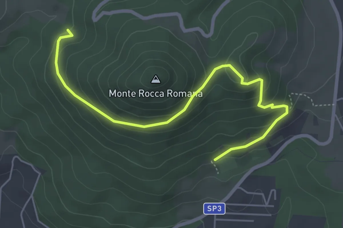
Easy · Trail
266 Ciclovia dei Boschi – Centro Volo Rapaci - Monte Rinaceto
5.9 km · ↑ 283 m · 2 h · 10 km away
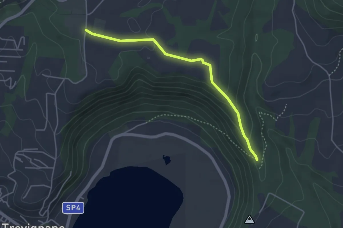
Easy · Trail
Percorso 269B – Percorso 269
3.9 km · ↑ 81 m · 1 h 5 min · 10 km away
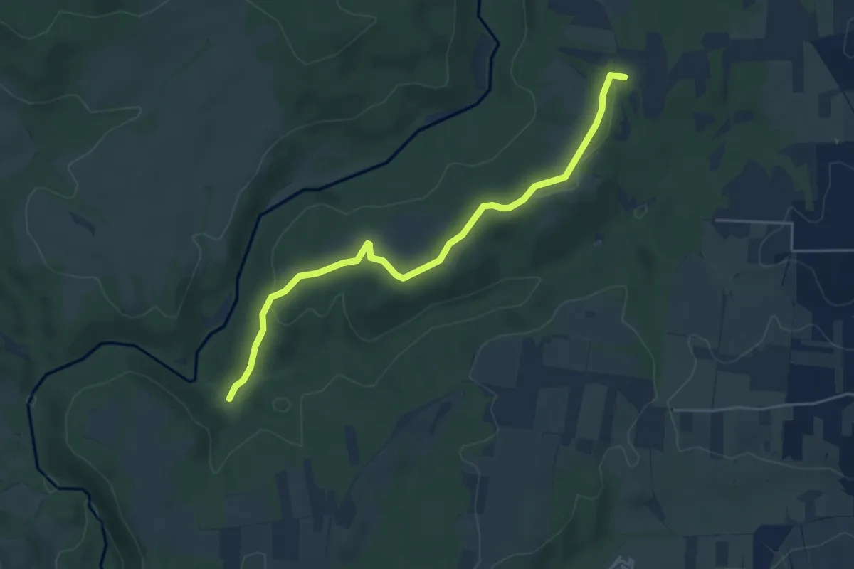
Easy · Trail
Il Pascolaro
5.1 km · ↑ 99 m · 1 h 25 min · 10 km away
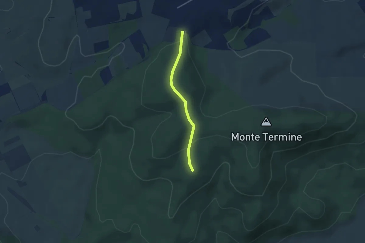
Easy · Summit
Strada vicinale di Cacciano – Strada Fonte Chiappino
2.6 km · ↑ 102 m · 51 min · 10 km away
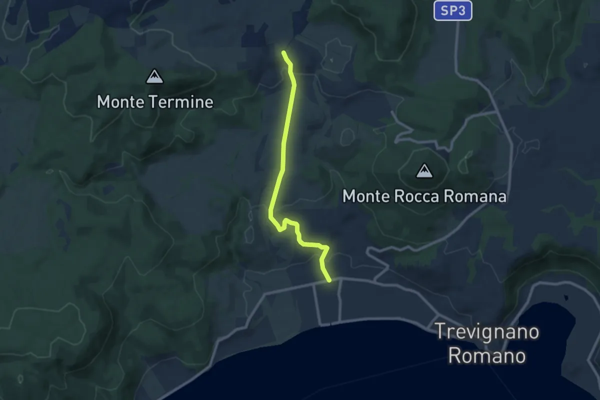
Easy · Trail
Strada Provinciale Settevene - Palo – Ciclovia dei Boschi
7.7 km · ↑ 263 m · 2 h 24 min · 10 km away
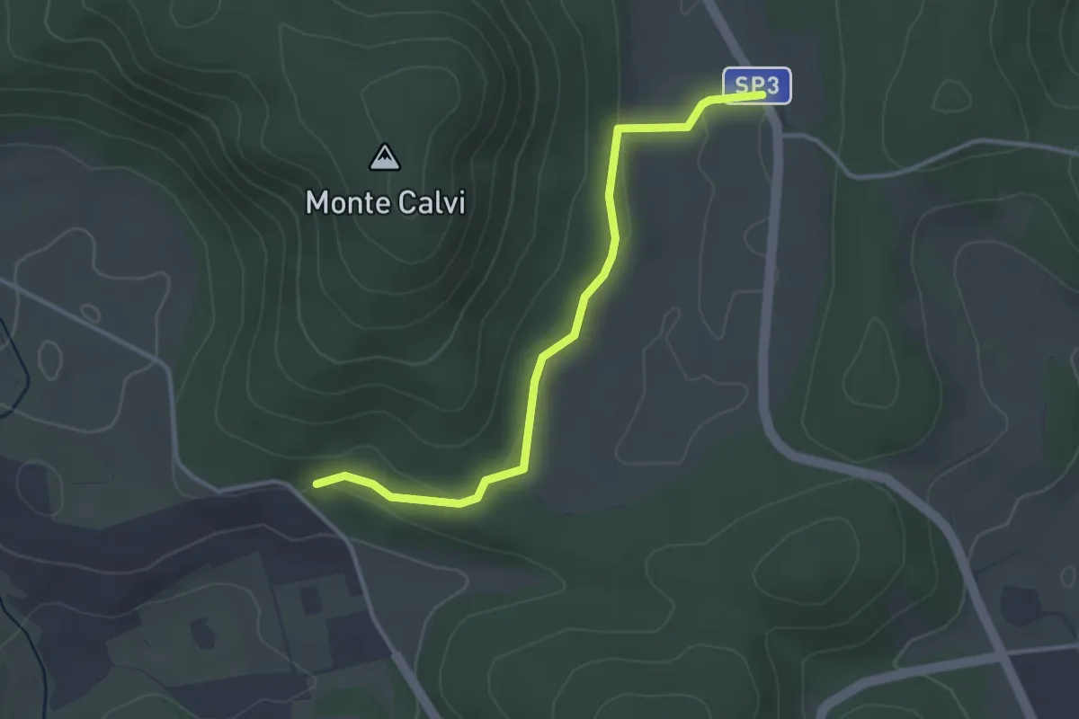
Easy · Trail
132A – SP12d
3.5 km · ↑ 58 m · 57 min · 11 km away
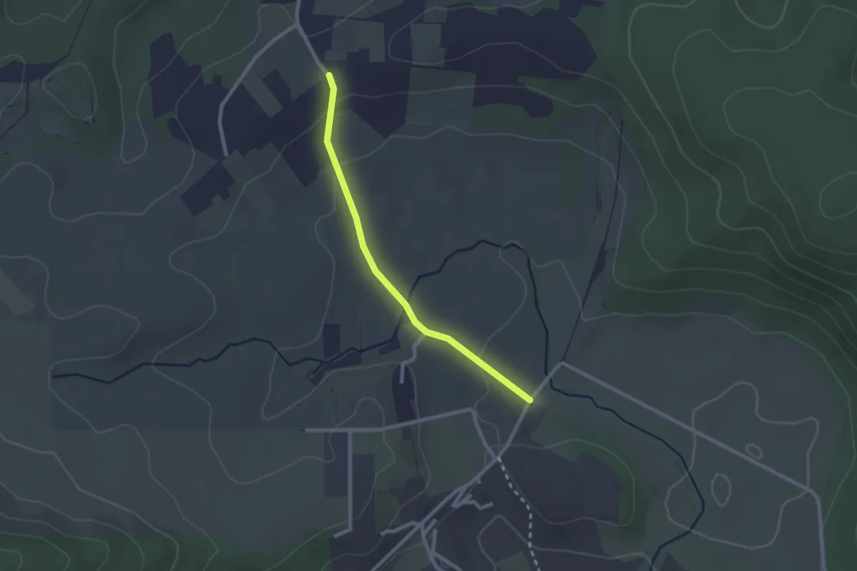
Easy · Trail
Covoni – Percorso 176B
2.3 km · ↑ 54 m · 40 min · 11 km away
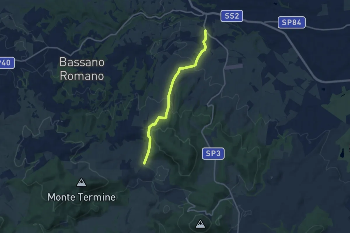
Easy · Trail
Località Covoni – Via Francigena
5.0 km · ↑ 84 m · 1 h 30 min · 11 km away
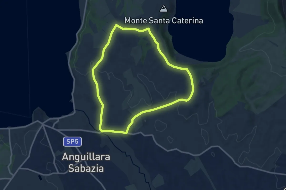
Easy · Summit
Ciclovia dei laghi
7.9 km · ↑ 124 m · 2 h 14 min · 11 km away
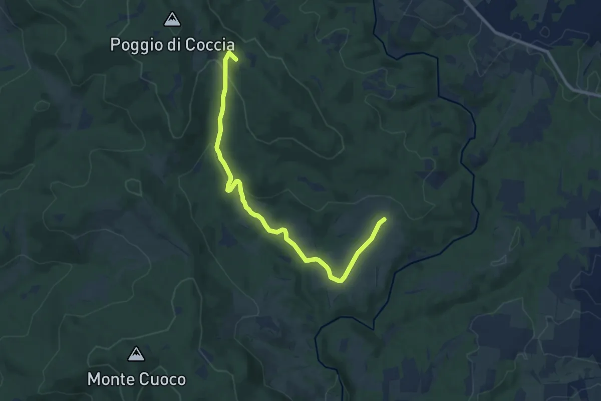
Medium · Summit
Bivio 105-139 – Bivio 103-103
9.7 km · ↑ 292 m · 2 h 56 min · 11 km away
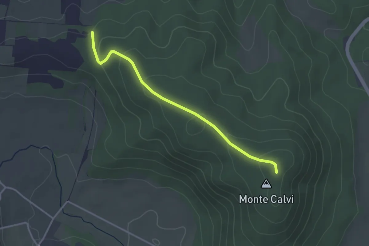
Easy · Summit
Monte Calvi
3.3 km · ↑ 104 m · 1 h · 12 km away
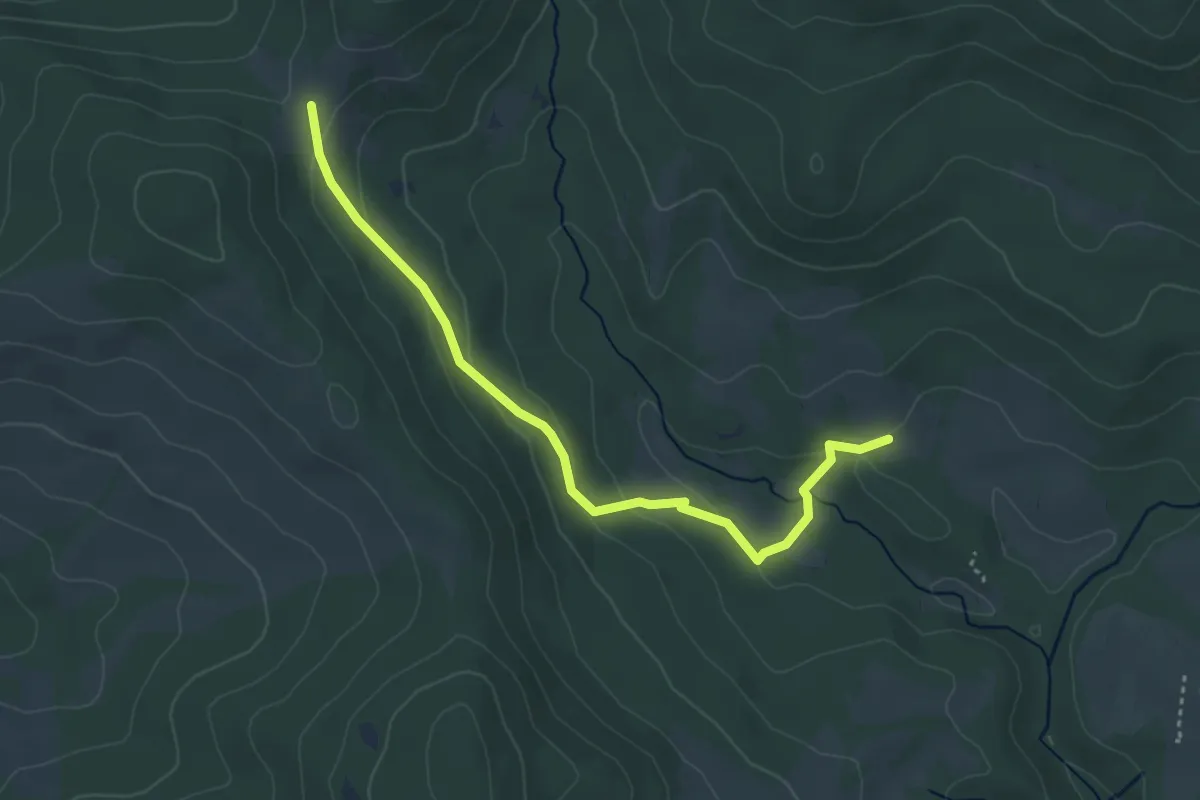
Easy · Trail
Fontiloro – Ara del Marmo
4.3 km · ↑ 118 m · 1 h 17 min · 12 km away
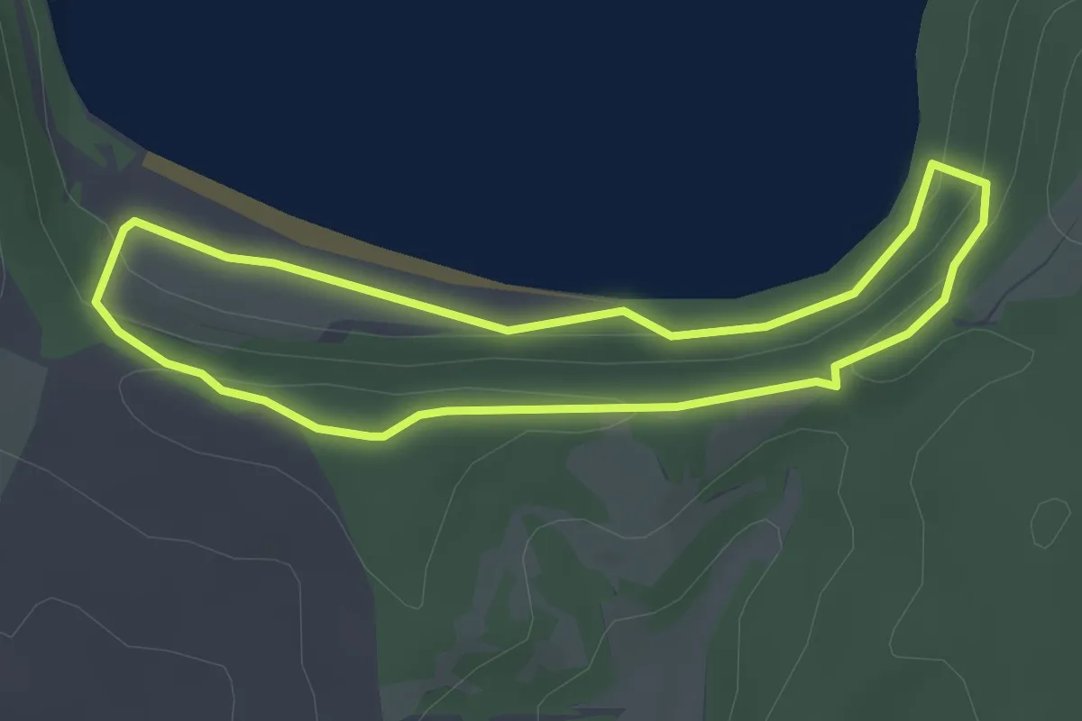
Easy · Trail
Monte Chiodo – Lago di Martignano
3.0 km · ↑ 77 m · 55 min · 12 km away
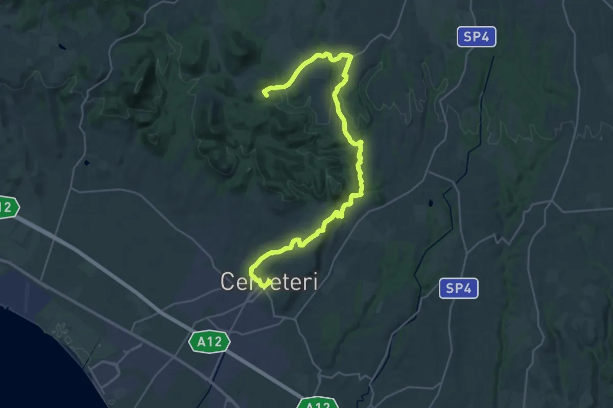
Demanding · Summit
Il Cammino dei Vulcani - Tappa 6
28.1 km · ↑ 539 m · 7 h 48 min · 13 km away
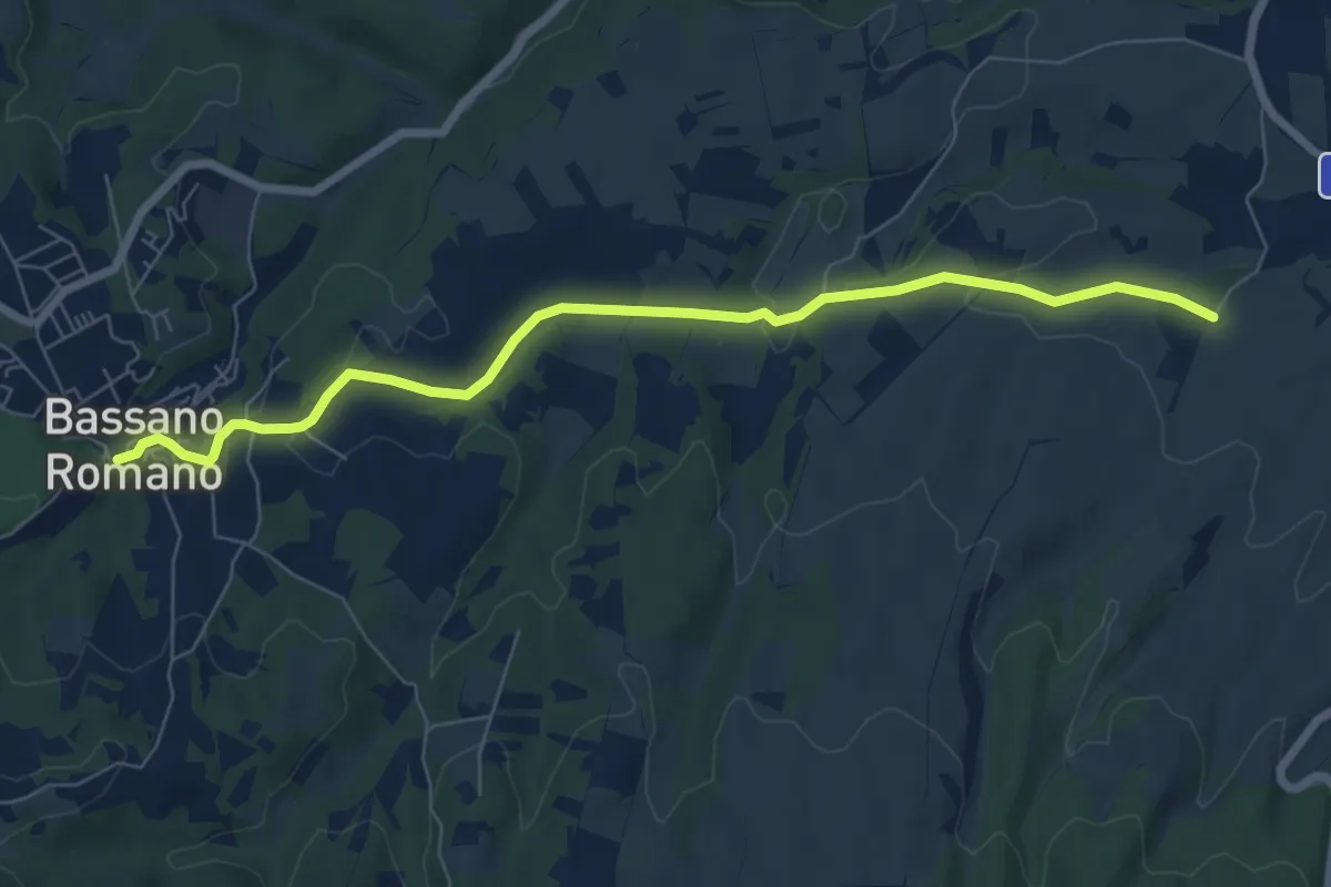
Easy · Trail
Bassano Romano – CAI 132
8.0 km · ↑ 109 m · 2 h 7 min · 13 km away
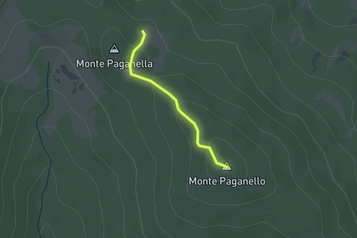
Easy · Summit
Monti Paganelli
1.7 km · ↑ 56 m · 31 min · 14 km away
Easy · Summit
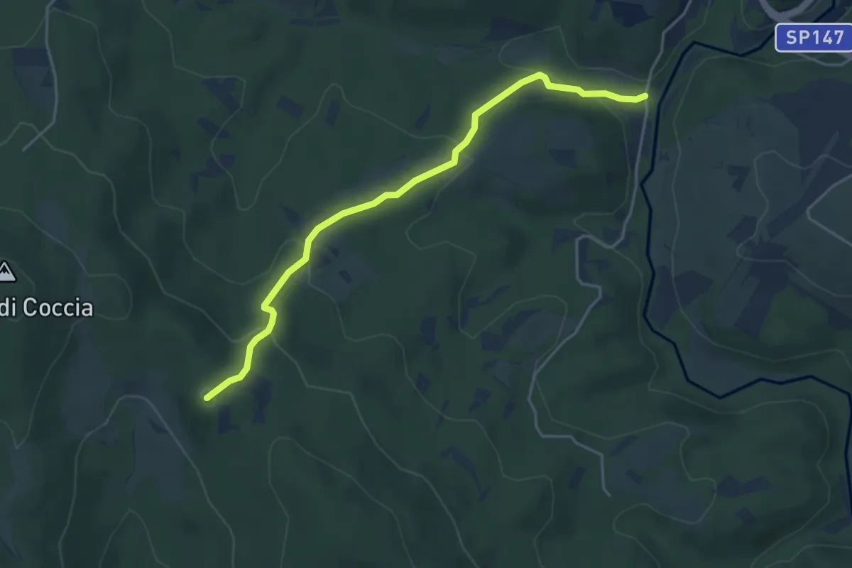
Bivio 139-139E – Bivio 105-139
4.7 km · ↑ 193 m · 1 h 32 min · 14 km away
Medium · Summit
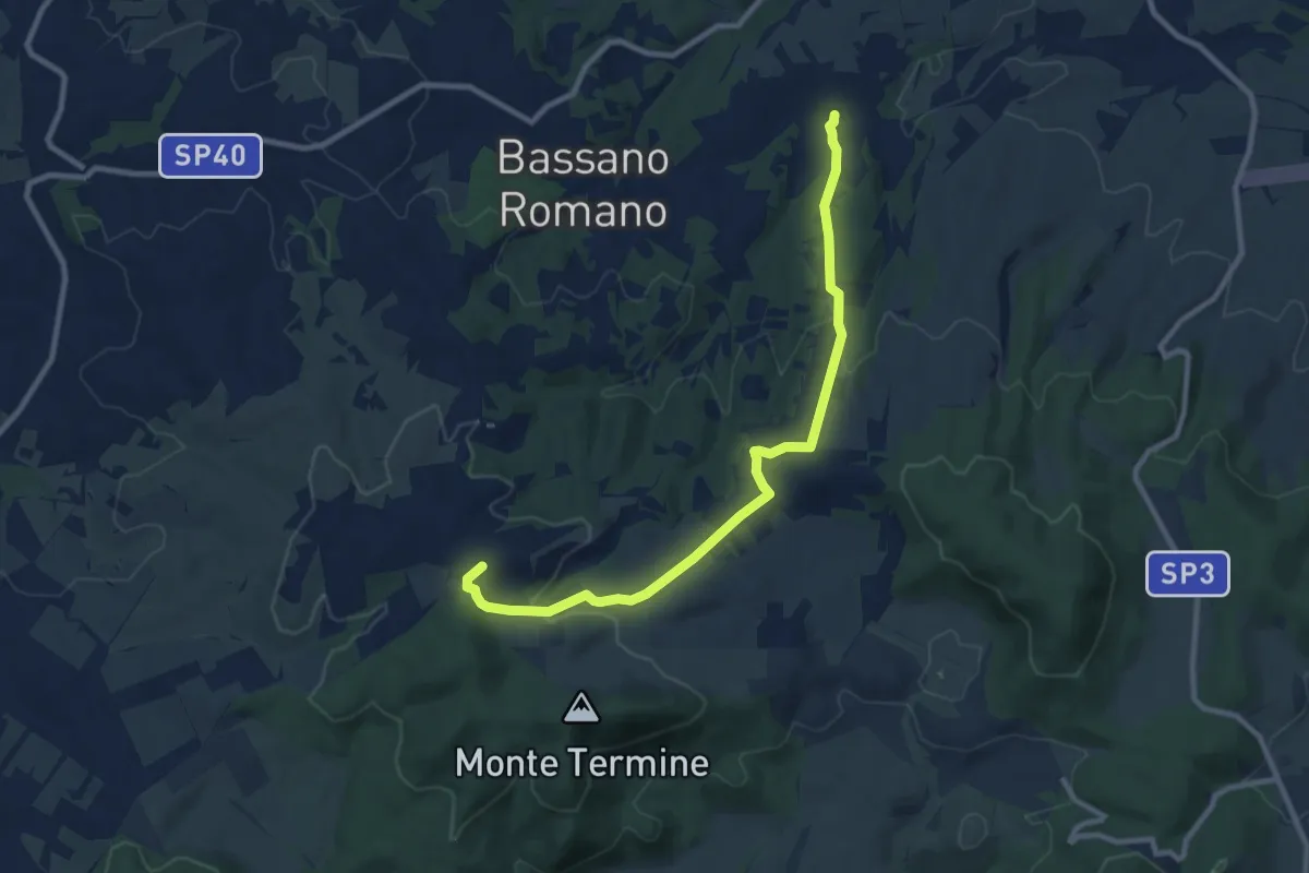
176 – 176C
10.9 km · ↑ 265 m · 3 h 9 min · 14 km away
Easy · Trail
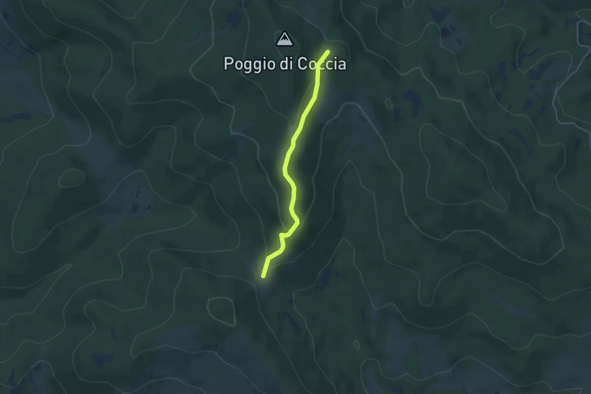
Sentiero 139 – Ara del Marmo
3.8 km · ↑ 126 m · 1 h 10 min · 14 km away
Easy · Summit
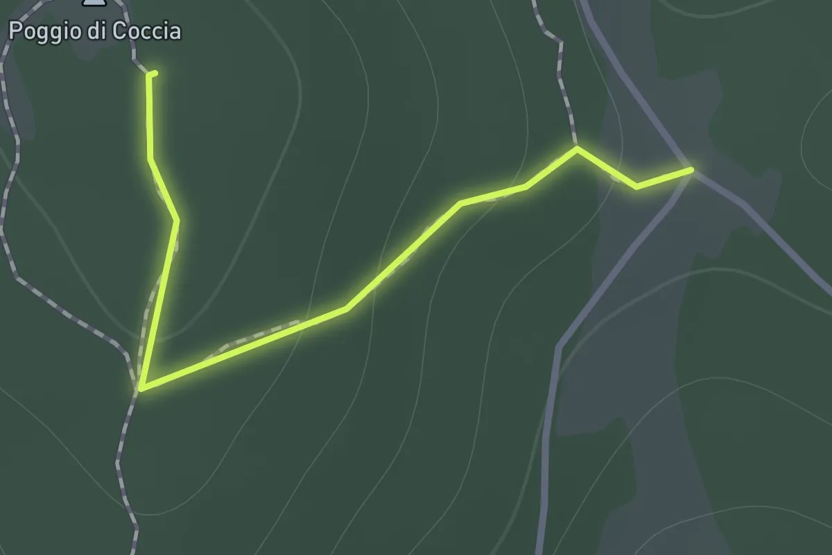
Poggio di Coccia
1.0 km · ↑ 45 m · 20 min · 14 km away