Trails near Brescia
219 hikes starting within 15 km, nearest first.
Nearest first, page 5 of 5
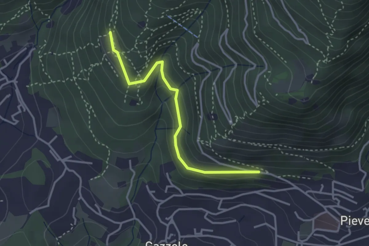
Easy · Trail
Lumezzane (Pieve) - Dosso Castolo
3.0 km · ↑ 153 m · 1 h 3 min · 13 km away
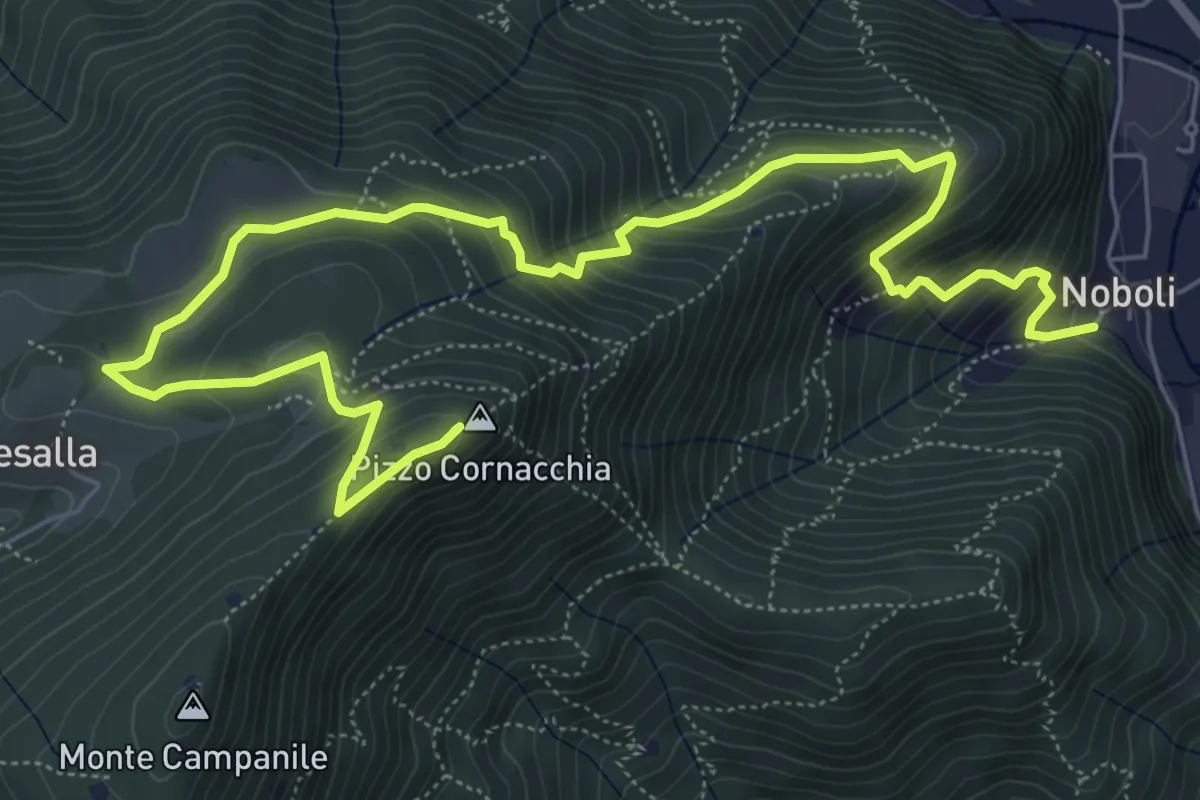
Medium · Summit
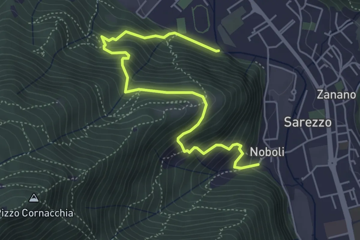
Sarezzo (Noboli) - Pizzo Cornacchia
9.1 km · ↑ 682 m · 3 h 37 min · 14 km away
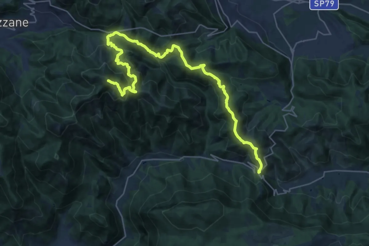
Expert · Summit
Caino (Villa Sera) – Colle di Sant'Eusebio
24.7 km · ↑ 1761 m · 9 h 39 min · 14 km away
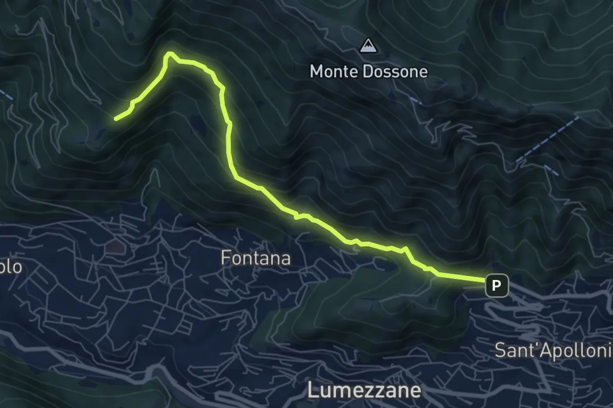
Demanding · Trail
Lumezzane (Ver) – San Bernardo (Bivio Zani Achille)
7.2 km · ↑ 587 m · 2 h 58 min · 14 km away
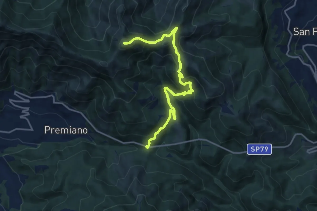
Demanding · Summit
Lumezzane (Passo del Cavallo) – Punta Camoghera
10.5 km · ↑ 734 m · 4 h 4 min · 14 km away
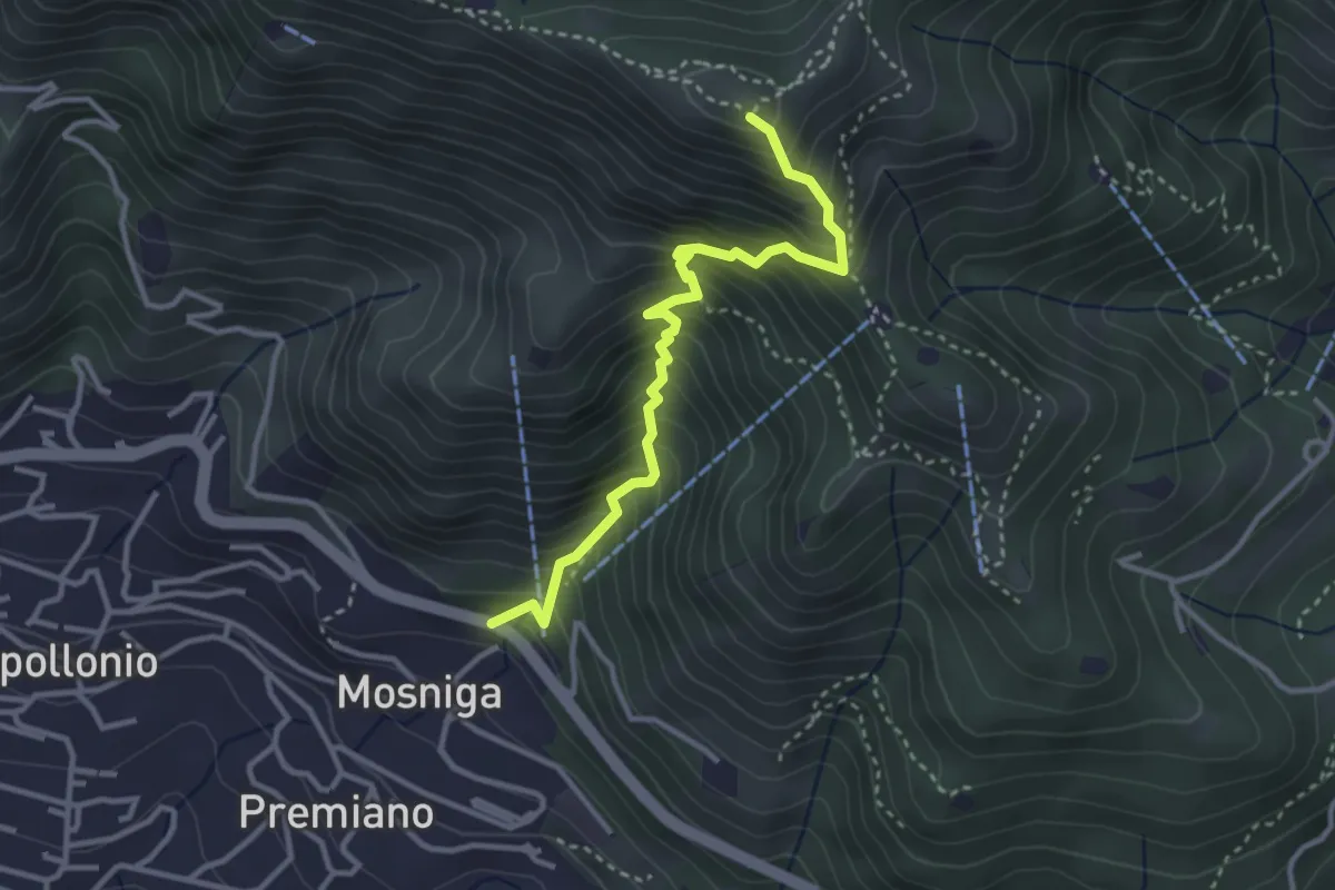
Medium · Summit
Lumezzane (Mosniga) - Punta Camoghera
3.4 km · ↑ 515 m · 1 h 55 min · 14 km away
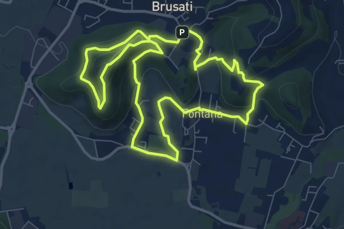
Easy · Trail
Tra il vecchio castello e la Madonna della Rosa
7.0 km · ↑ 299 m · 2 h 24 min · 14 km away
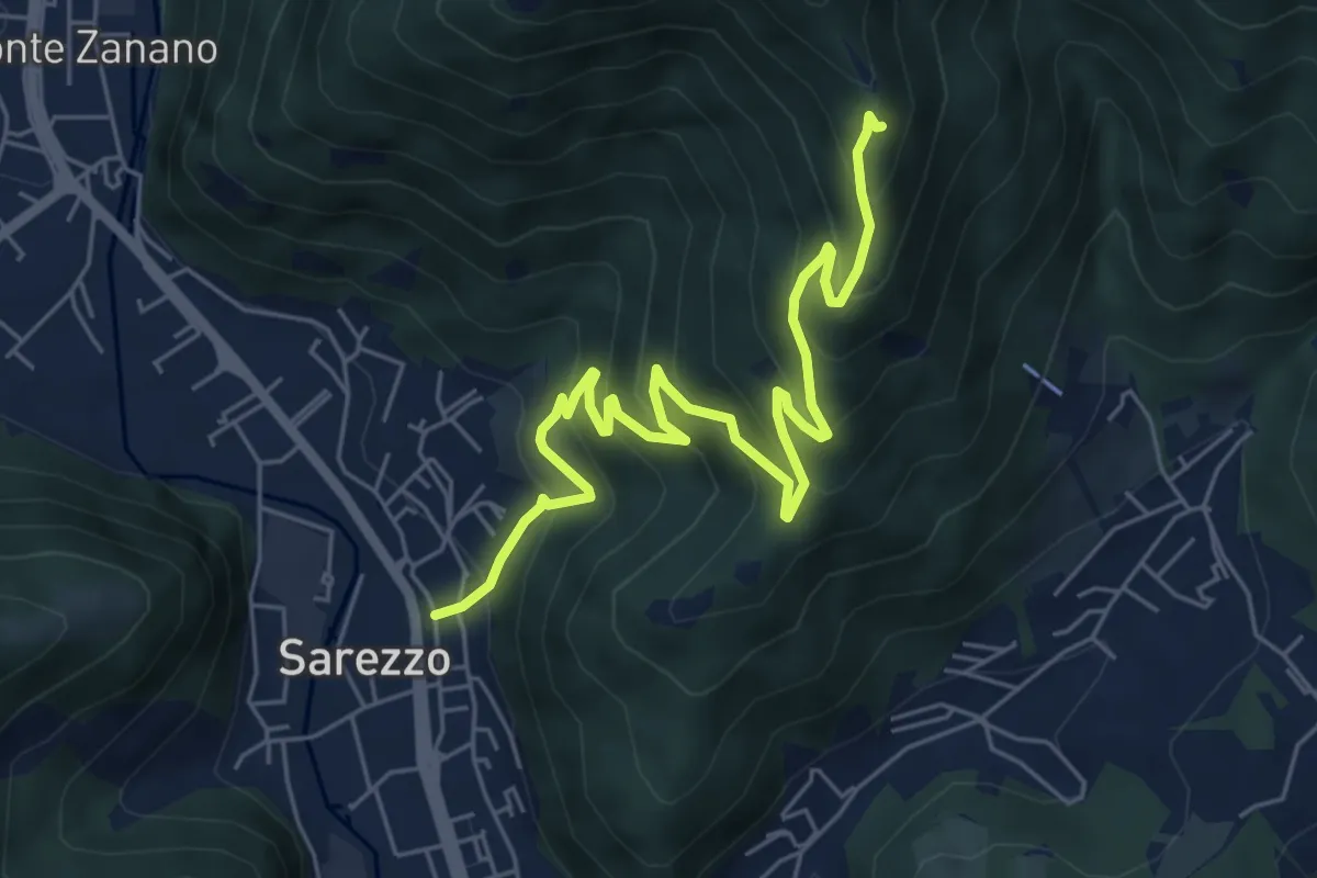
Medium · Trail
Sarezzo (Zanano) - Passata
7.2 km · ↑ 615 m · 3 h 1 min · 14 km away
Medium · Trail
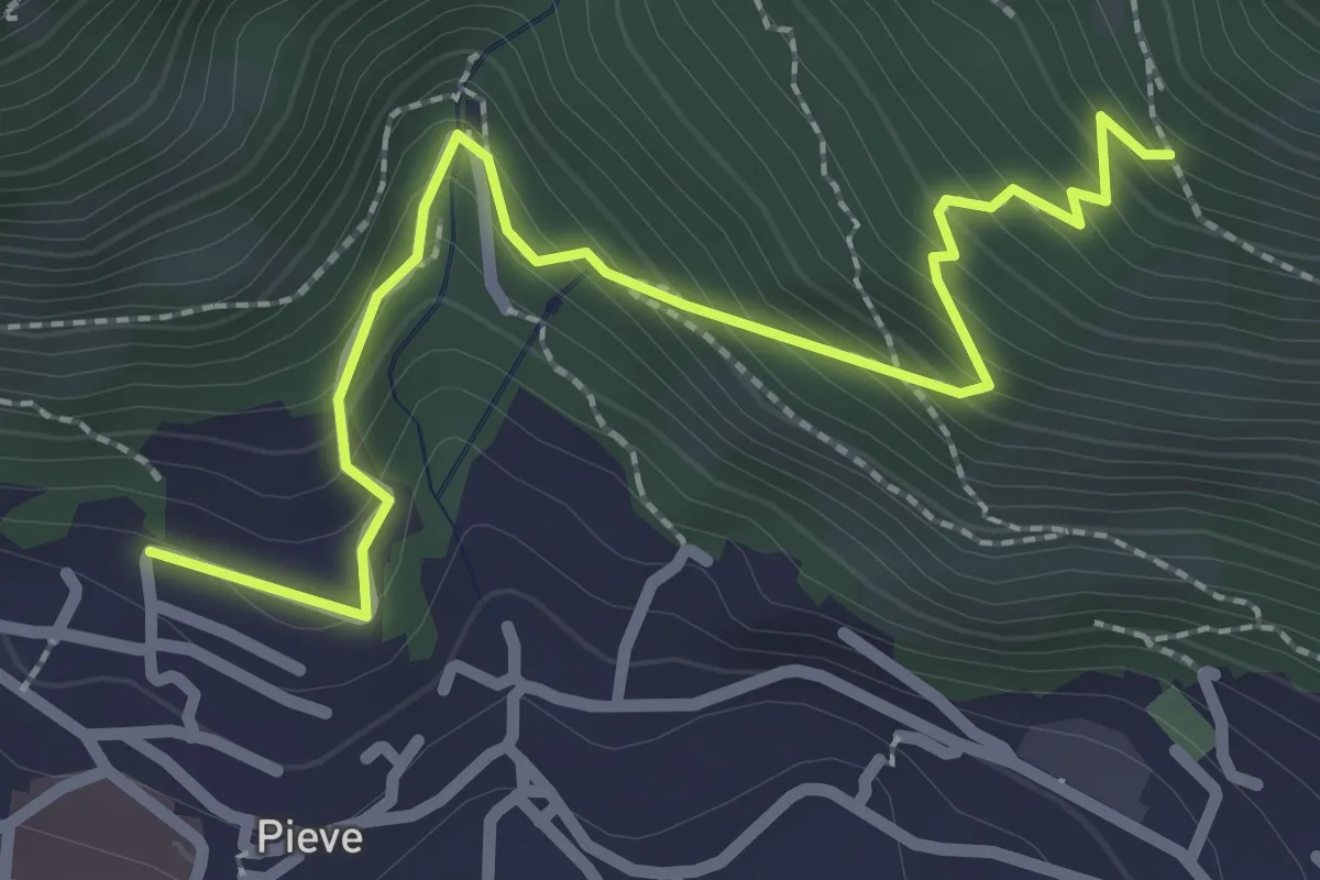
Lumezzane (Pieve) - Valle dei Fiori - Dossello
2.9 km · ↑ 292 m · 1 h 19 min · 14 km away
Demanding · Summit
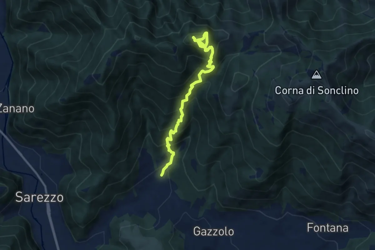
Sarezzo (Santella Valle di Sarezzo) – Monte Sant'Emiliano
8.1 km · ↑ 962 m · 4 h · 14 km away
Medium · Trail
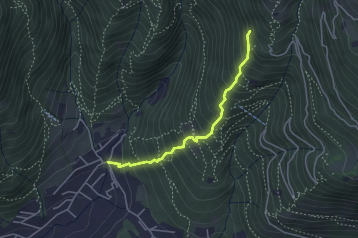
Sarezzo (La Santella) - Via Antica
3.0 km · ↑ 421 m · 1 h 38 min · 14 km away
Medium · Cabin
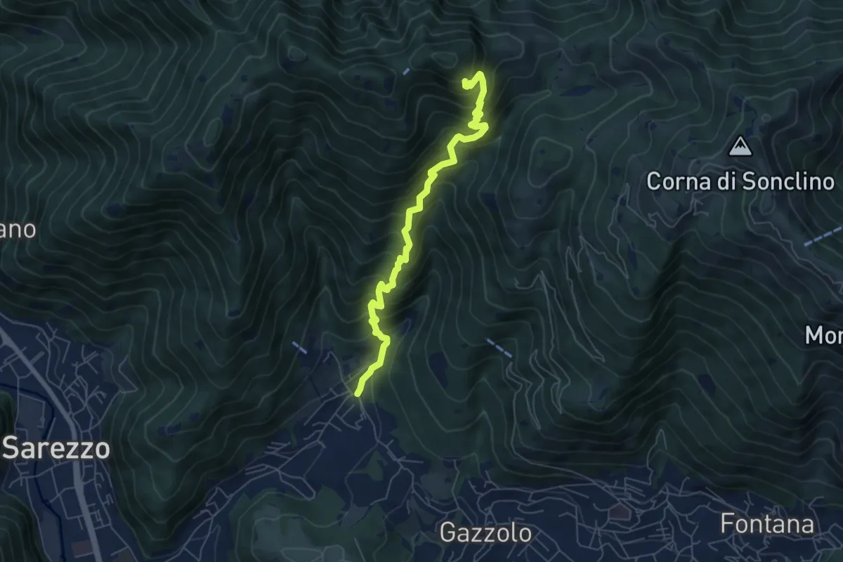
Sarezzo (La Cava) - Sant'Emiliano
6.3 km · ↑ 758 m · 3 h 8 min · 14 km away
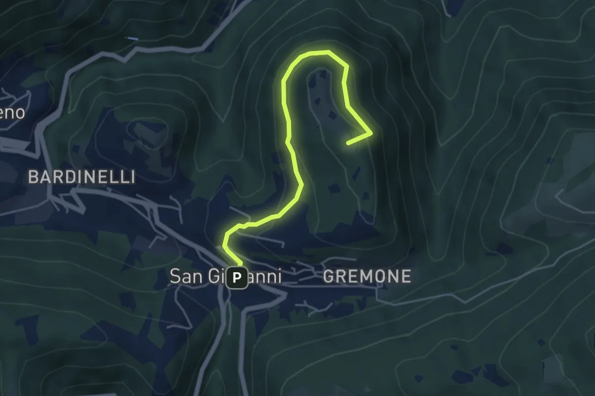
Demanding · Summit
Sentiero della Pugna
4.4 km · ↑ 219 m · 1 h 30 min · 14 km away
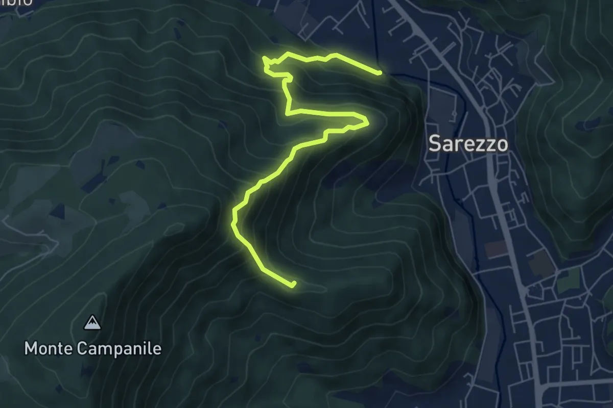
Medium · Summit
Sarezzo (Noboli) - Gelè
6.7 km · ↑ 703 m · 3 h 7 min · 14 km away
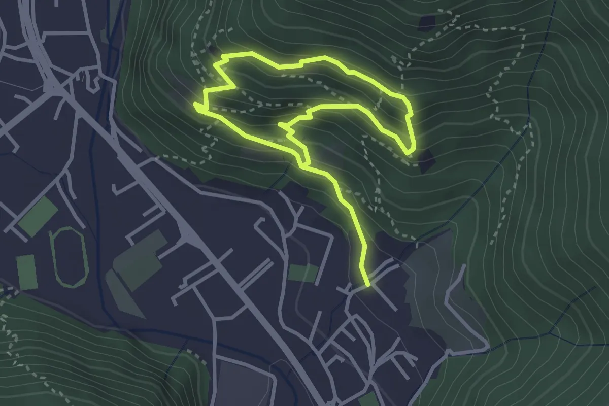
Medium · Trail
Sentiero 3 BIS - Variante C
5.6 km · ↑ 517 m · 2 h 26 min · 14 km away
Medium · Trail
Sarezzo (Irle) - Stalla delle Secade - Sarezzo (Irle)
2.3 km · ↑ 269 m · 1 h 9 min · 14 km away
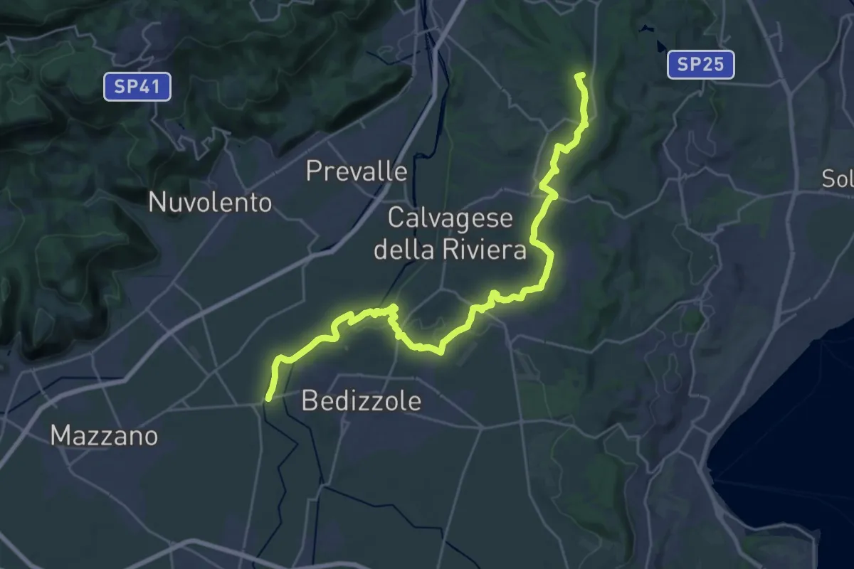
Demanding · Summit
Via delle Colline Moreniche
28.7 km · ↑ 381 m · 7 h 37 min · 14 km away
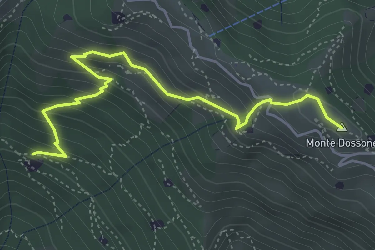
Medium · Summit
Lumezzane (Cascina Al Colonel) - Monte Dossone
4.3 km · ↑ 469 m · 2 h 3 min · 15 km away
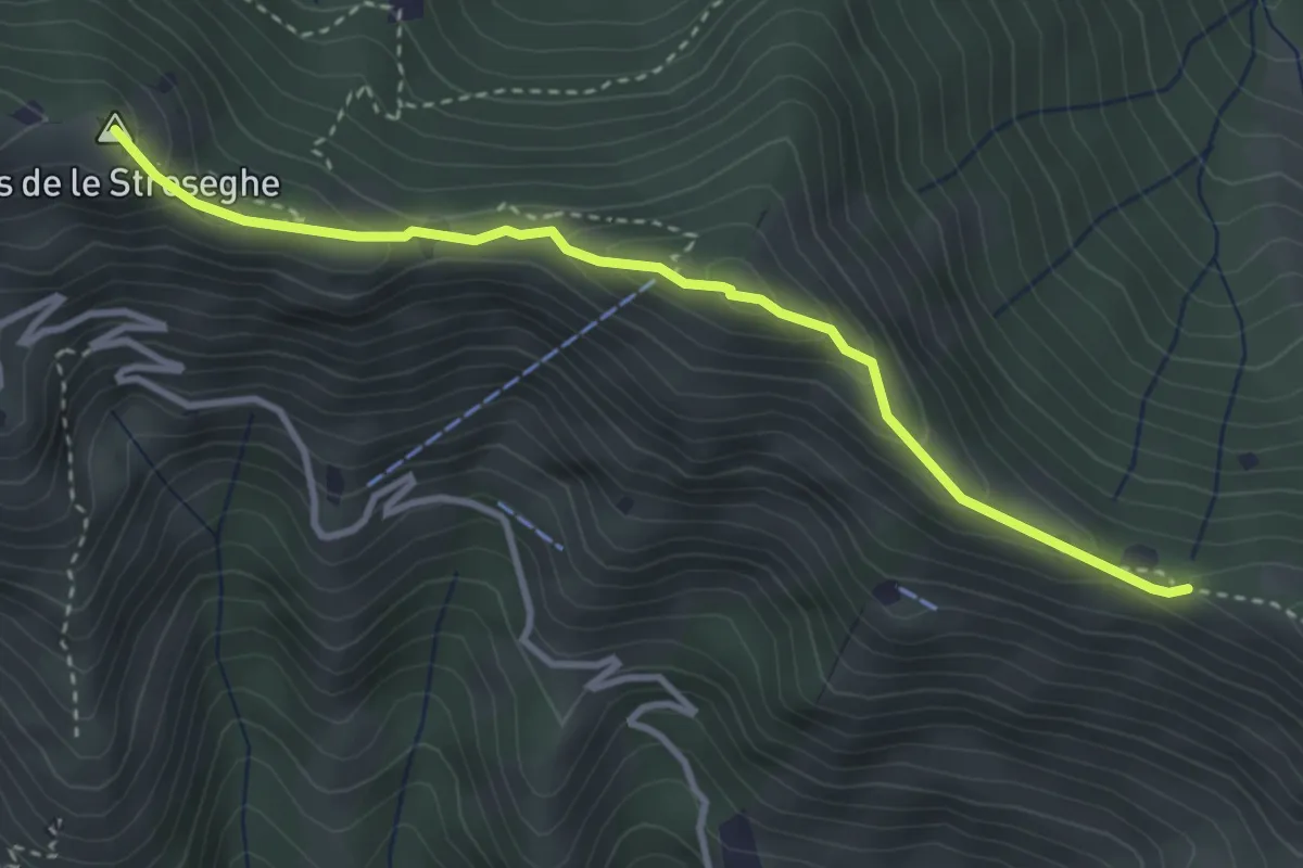
Expert · Summit
Sentiero 3V - Tappa 2 (Variante alta)
3.5 km · ↑ 313 m · 1 h 30 min · 15 km away
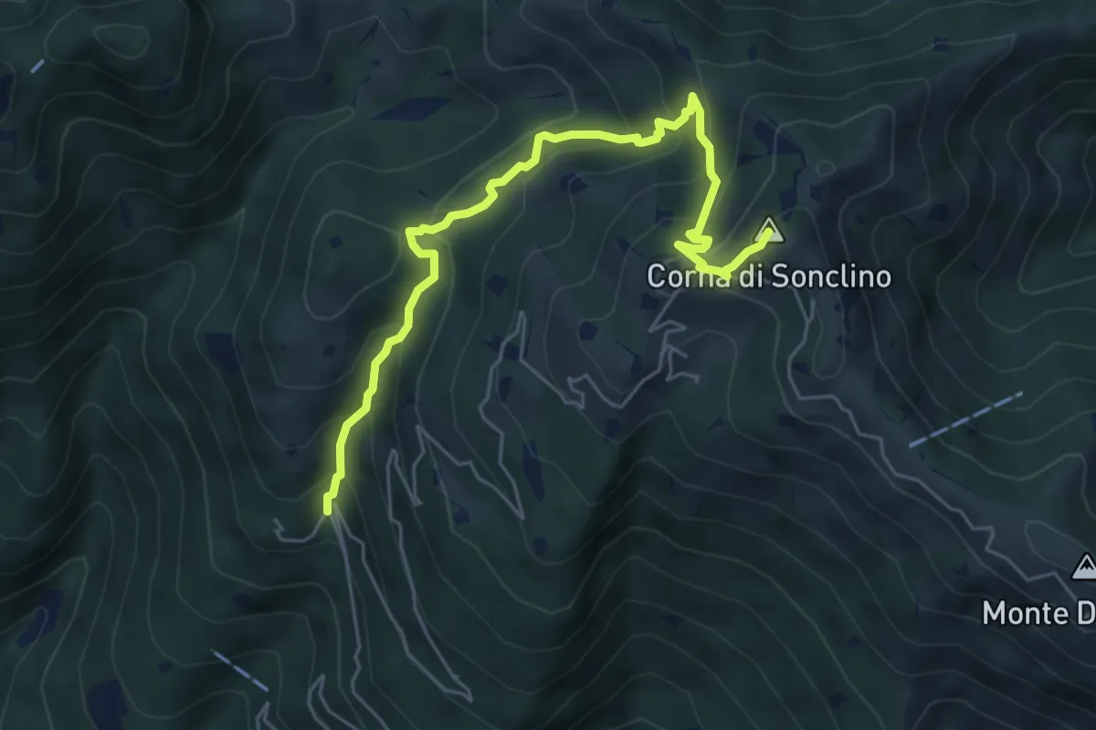
Medium · Summit
Lumezzane (Buca di Porticelle) - Corna di Sonclino
6.1 km · ↑ 583 m · 2 h 41 min · 15 km away
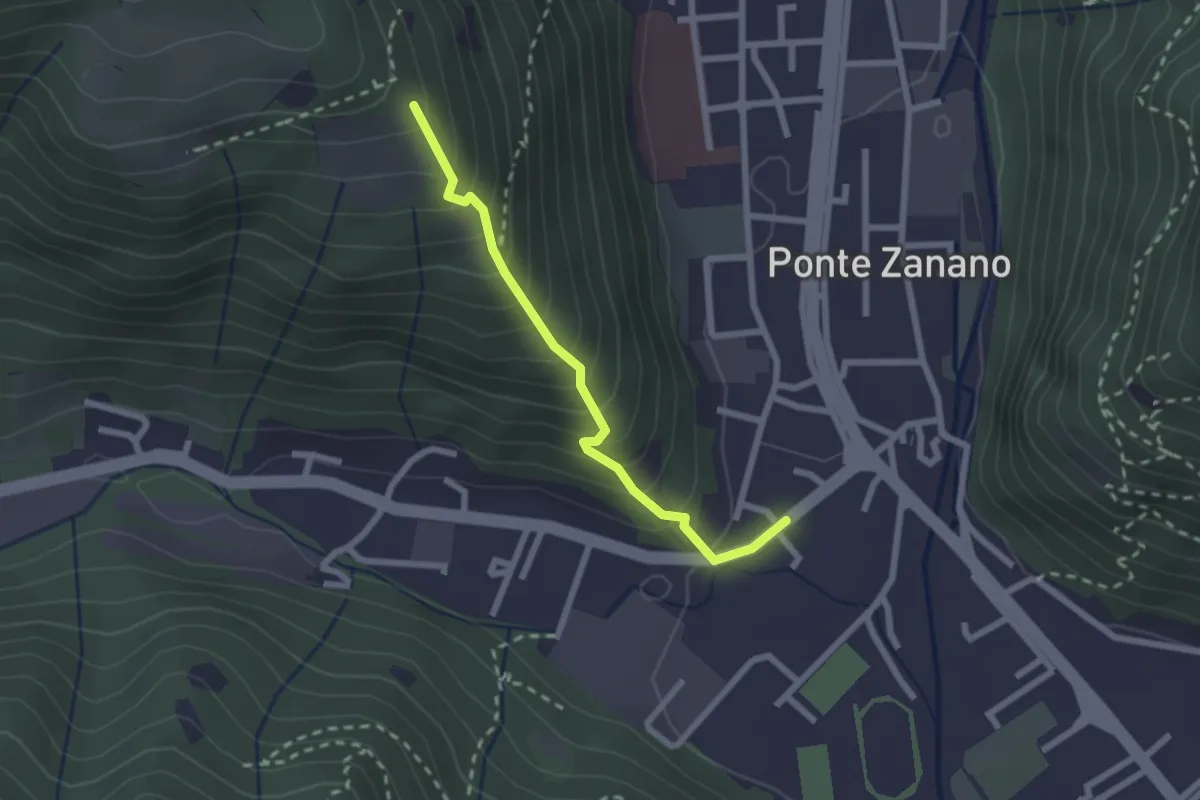
Medium · Trail
Sarezzo (Seradello) - Paule di Sotto
2.2 km · ↑ 283 m · 1 h 8 min · 15 km away
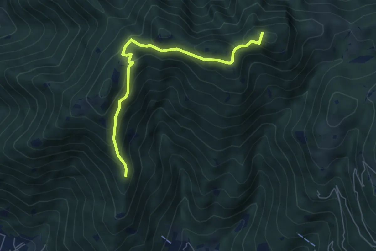
Medium · Summit
Sarezzo (Passata) - Sant'Emiliano
5.6 km · ↑ 377 m · 2 h 9 min · 15 km away
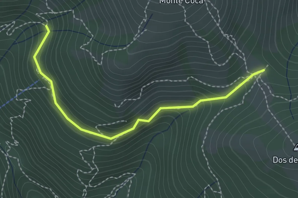
Medium · Trail
Lumezzane (Innesto sentiero 370) - Cocca di Bione
2.2 km · ↑ 106 m · 45 min · 15 km away
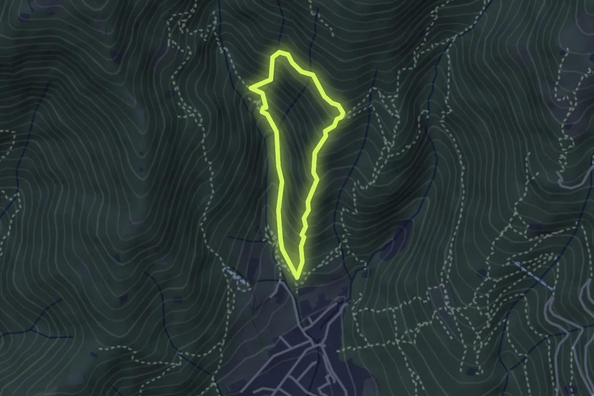
Medium · Trail
Sarezzo (Ponte dei Gromi) - Gromi Bassi
2.2 km · ↑ 307 m · 1 h 13 min · 15 km away
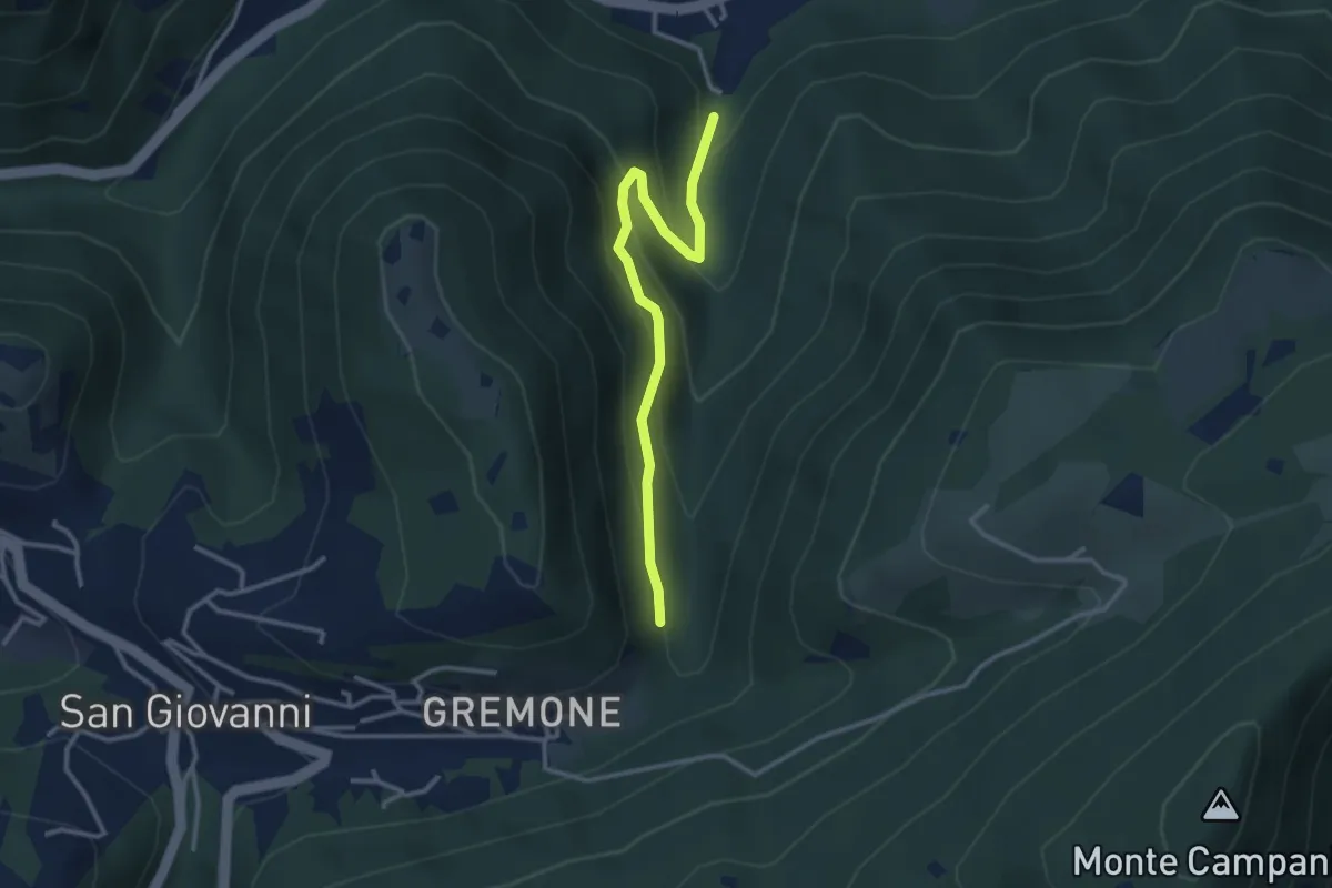
Easy · Trail
Sentiero dei Mulini
3.1 km · ↑ 239 m · 1 h 15 min · 15 km away
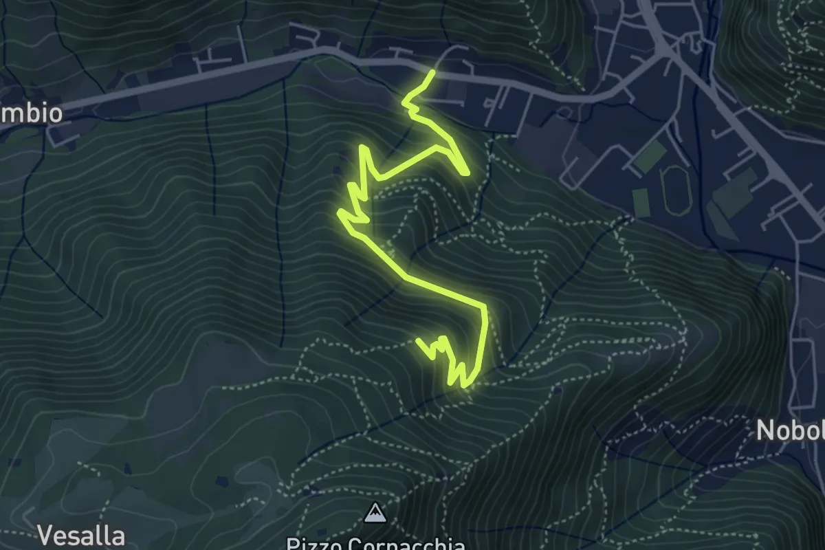
Medium · Trail
Sarezzo (Seradello) - La Baita
5.4 km · ↑ 549 m · 2 h 29 min · 15 km away
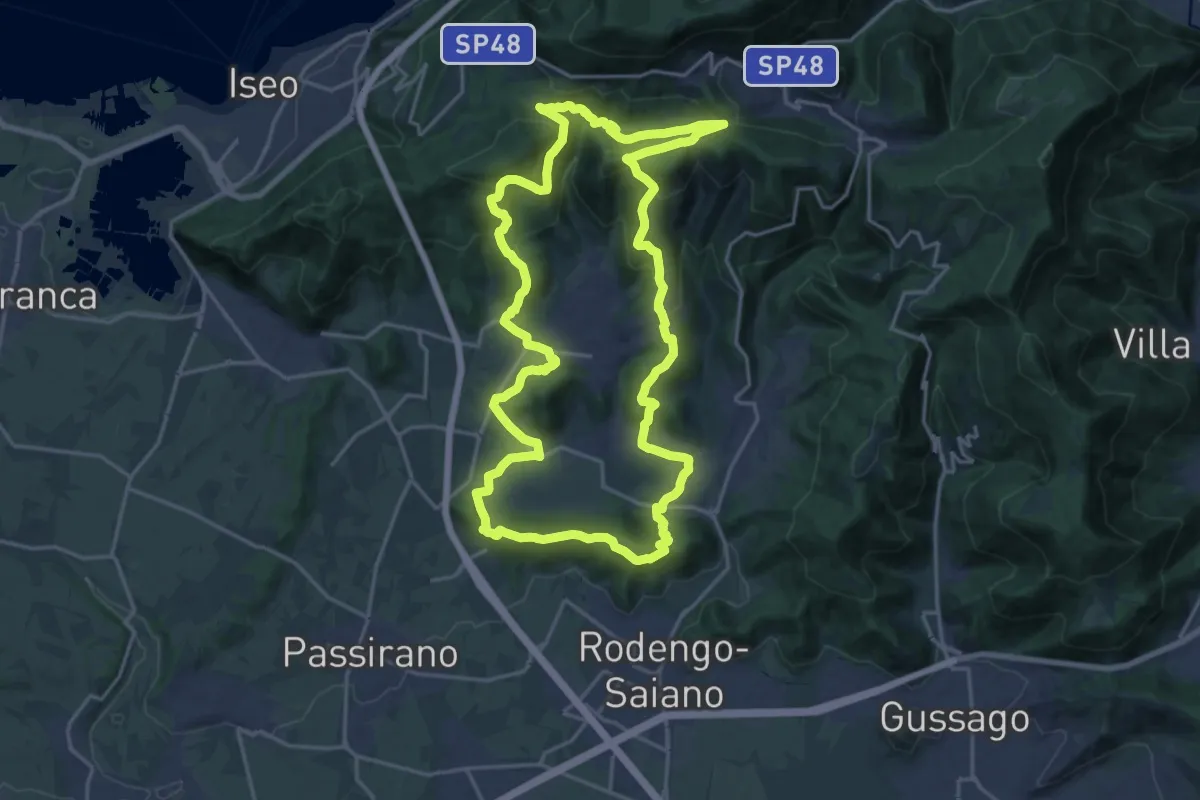
Demanding · Summit
El gir del Muntasel
20.5 km · ↑ 865 m · 6 h 59 min · 15 km away