Trails near Brugherio
24 hikes starting within 15 km, nearest first.
Nearest first
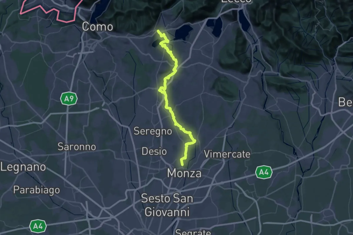
Demanding · Trail
Ciclovia Monza - Erba
38.1 km · ↑ 458 m · 10 h 28 min · 6 km away
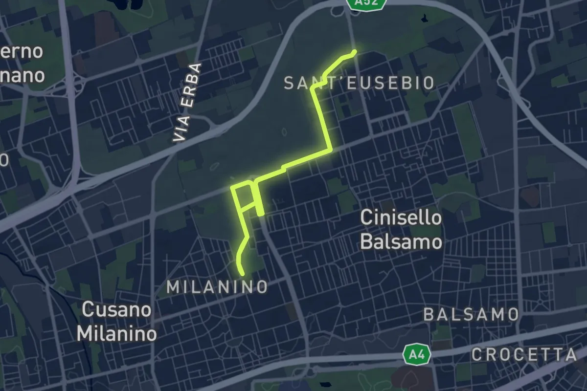
Medium · Trail
Ippocastani . Sant'Eusebio
14.8 km · ↑ 22 m · 3 h 33 min · 8 km away
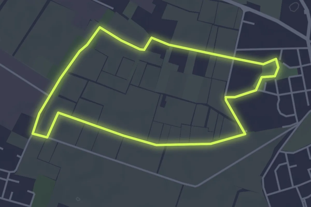
Easy · Trail
Il giro della Cavallera
3.8 km · ↑ 4 m · 58 min · 8 km away
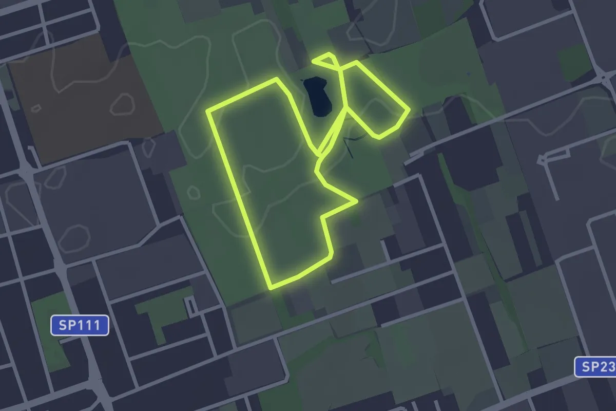
Easy · Trail
Bosco Urbano
2.7 km · ↑ 8 m · 41 min · 9 km away
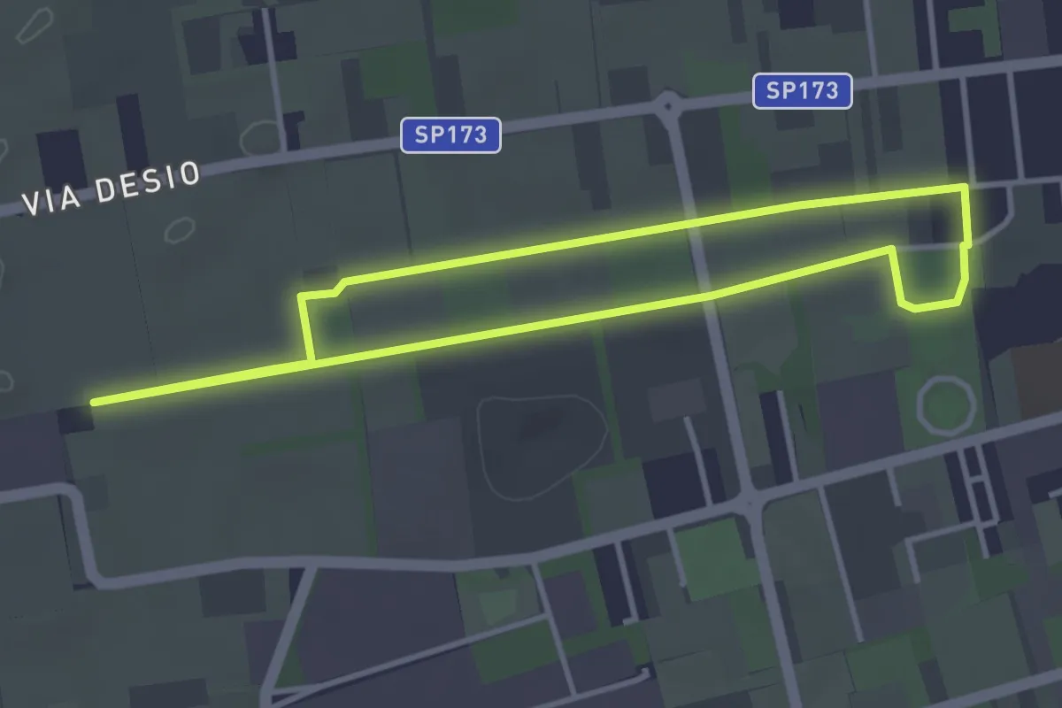
Easy · Trail
Bertacciola
3.4 km · ↑ 9 m · 52 min · 11 km away
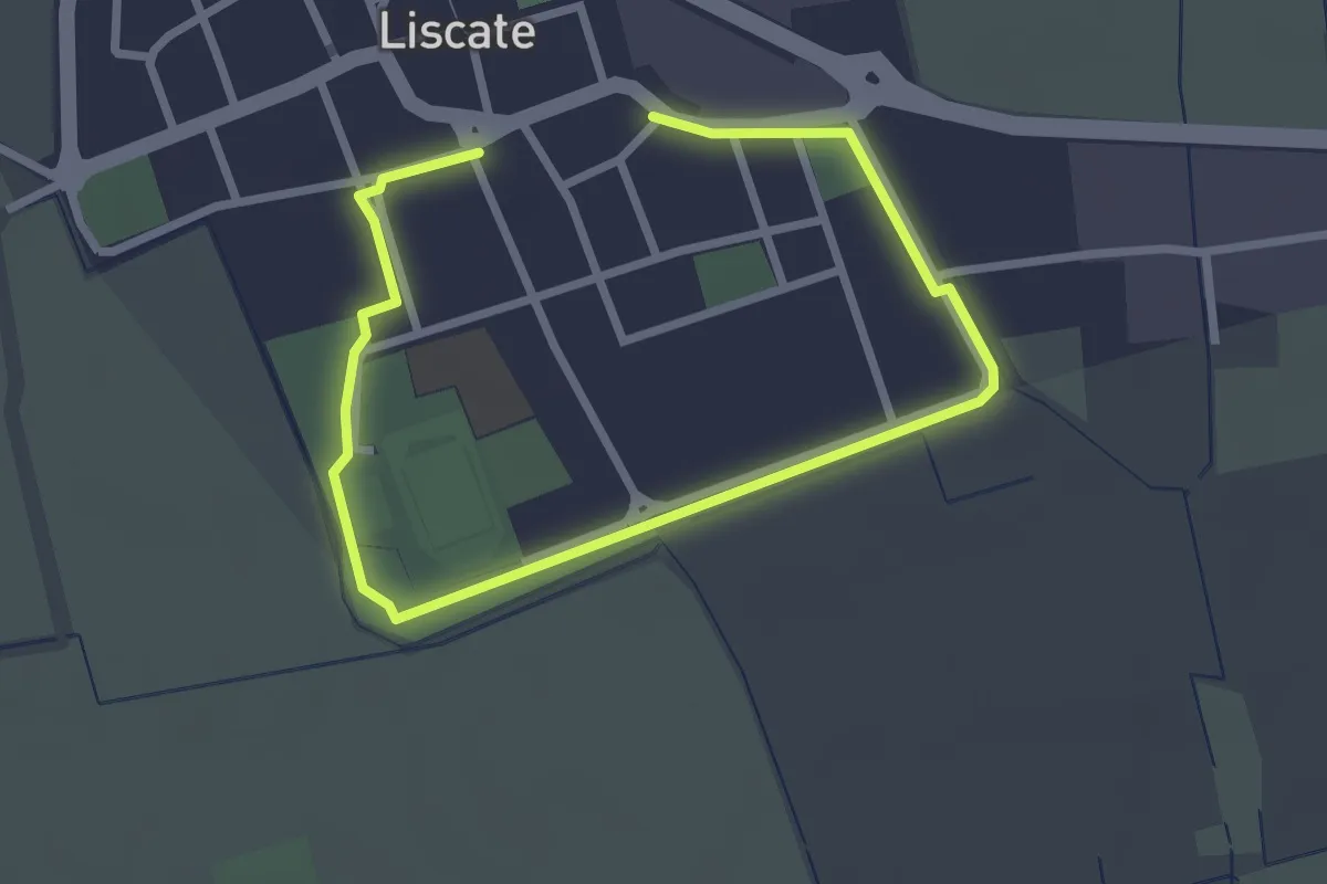
Easy · Trail
Giro di Liscate
3.9 km · ↑ 0 m · 55 min · 12 km away
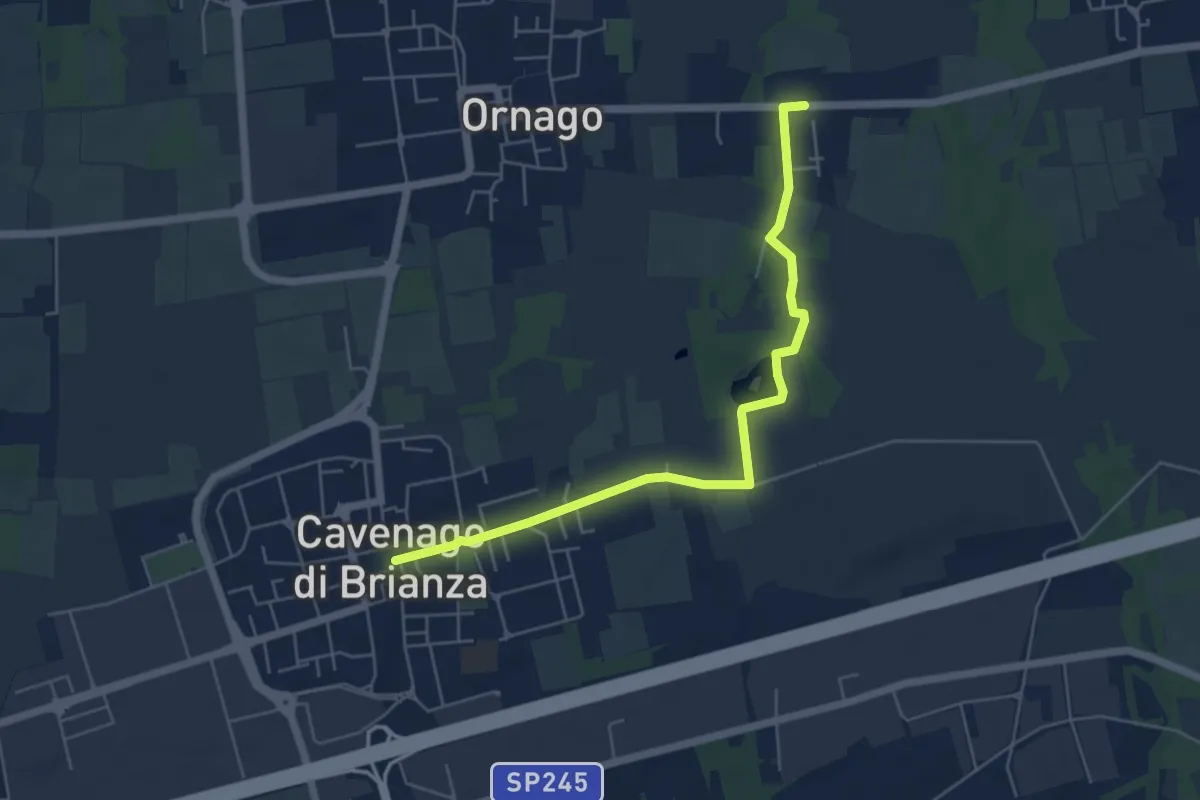
Easy · Trail
Percorso n° 2
5.7 km · ↑ 18 m · 1 h 23 min · 12 km away
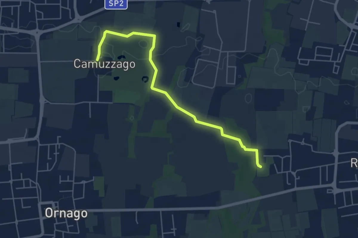
Easy · Trail
Sentiero delle Brughiere
5.1 km · ↑ 9 m · 1 h 14 min · 12 km away
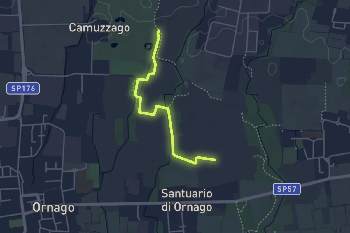
Easy · Trail
Percorso n° 4/A
3.4 km · ↑ 4 m · 49 min · 12 km away
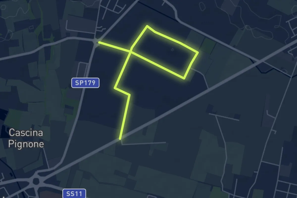
Easy · Trail
Percorso del granoturco
6.5 km · ↑ 4 m · 1 h 33 min · 12 km away
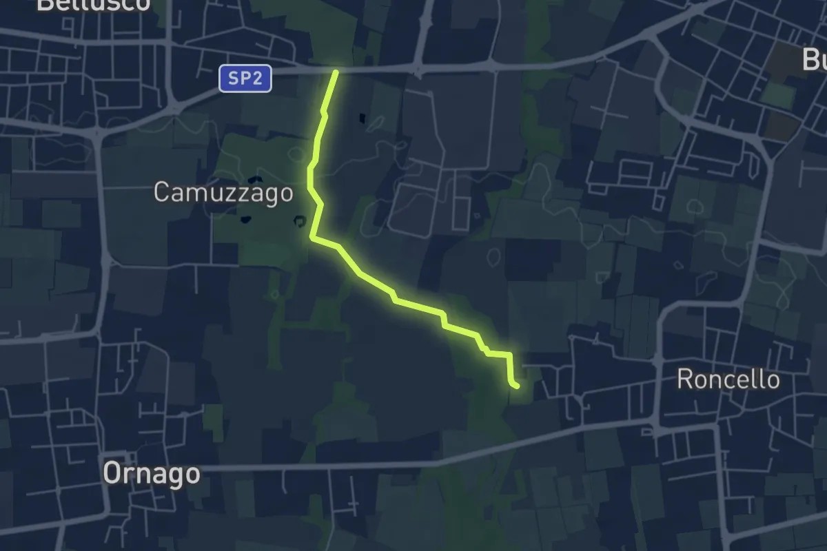
Easy · Trail
Percorso n° 4
4.3 km · ↑ 14 m · 1 h 3 min · 13 km away
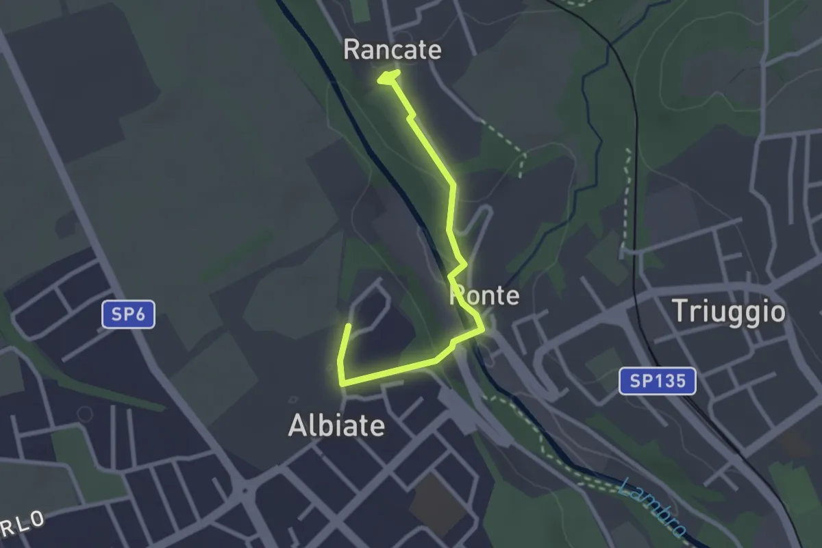
Easy · Trail
CSA - Il Fiore Della Rosa - Tappa 2
2.6 km · ↑ 63 m · 45 min · 13 km away
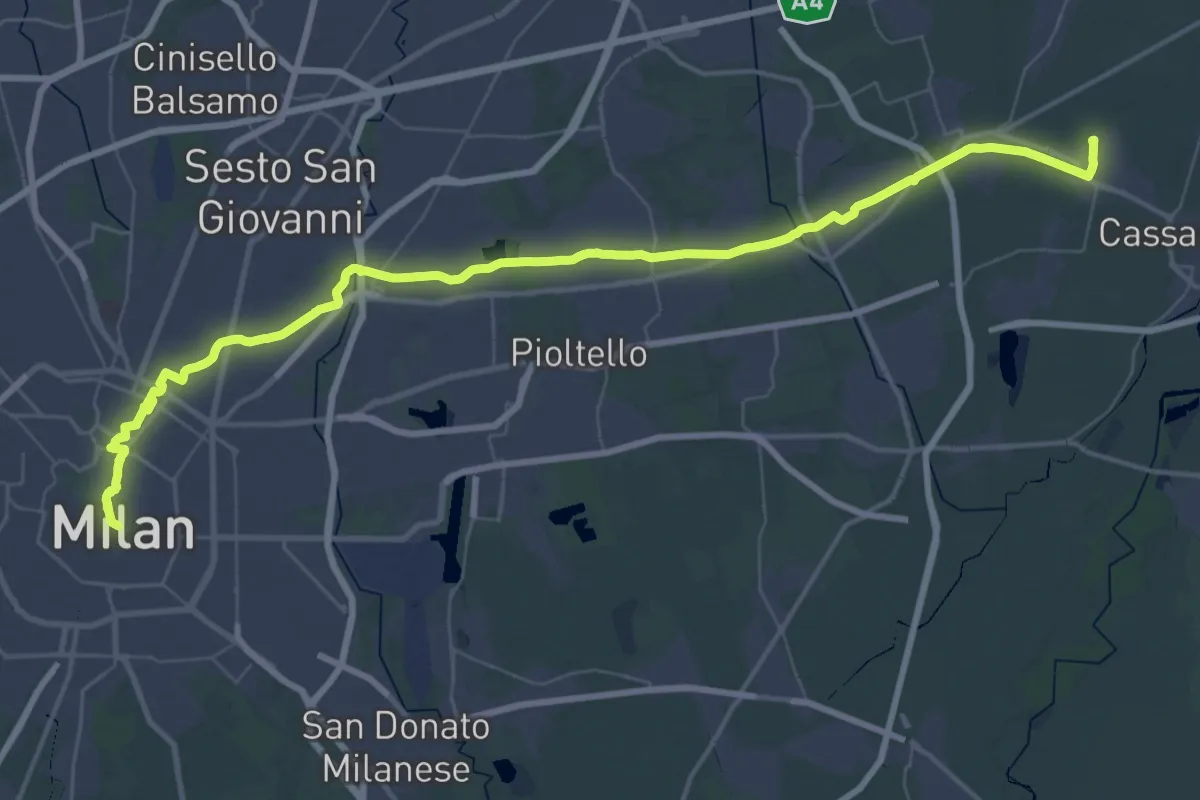
Demanding · Trail
Cammino di Sant'Agostino - Foglia Orientale
30.9 km · ↑ 47 m · 7 h 49 min · 13 km away
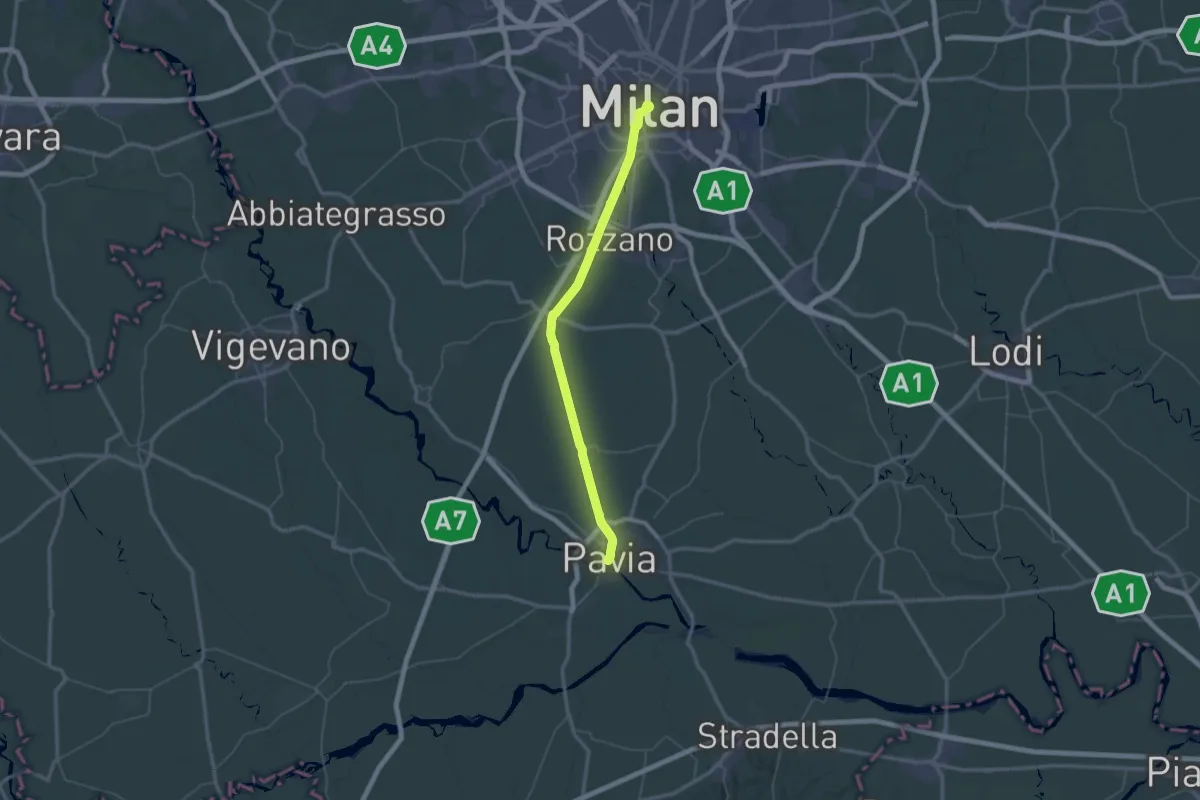
Demanding · Trail
Sentiero dei Celti e dei Liguri - tappa 1
34.3 km · ↑ 32 m · 8 h 40 min · 13 km away
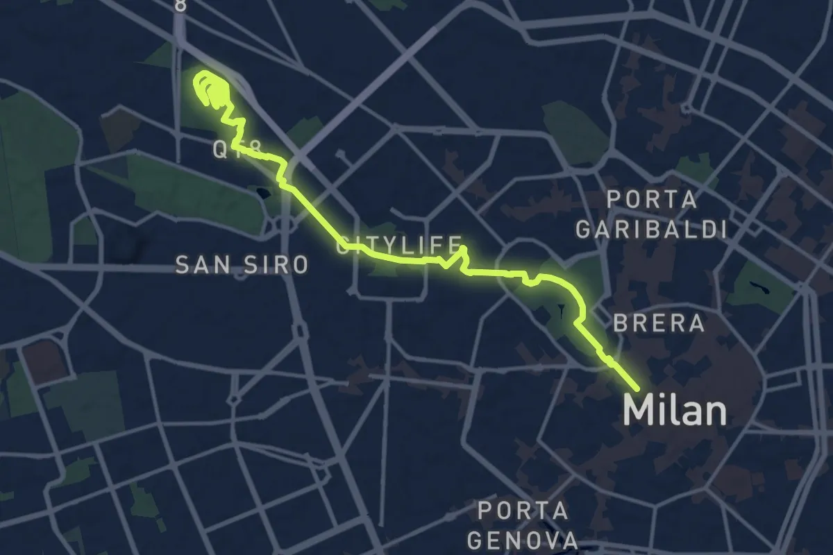
Medium · Summit
MilanoInCima
16.0 km · ↑ 76 m · 3 h 57 min · 13 km away
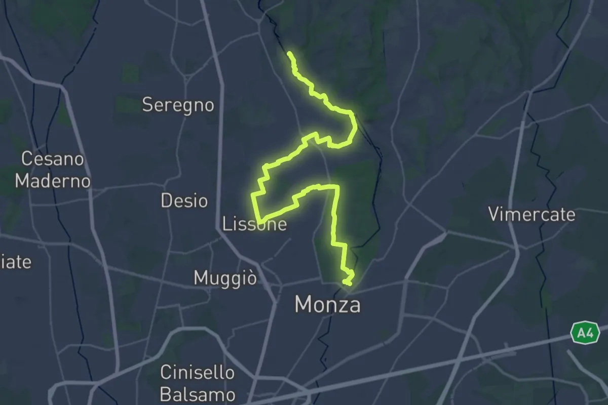
Demanding · Trail
CSA - Il Fiore Della Rosa - Tappa 1
20.0 km · ↑ 65 m · 5 h 11 min · 13 km away
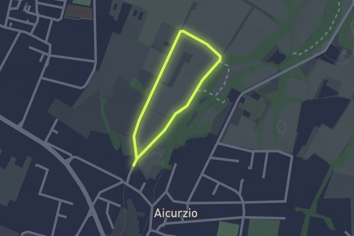
Easy · Trail
Percorso n° 8
1.2 km · ↑ 4 m · 19 min · 13 km away
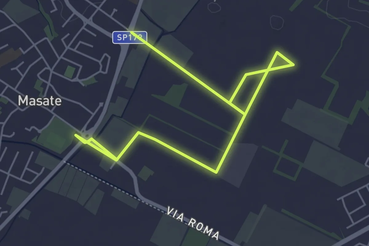
Easy · Trail
Percorso del frumento
7.1 km · ↑ 4 m · 1 h 41 min · 13 km away
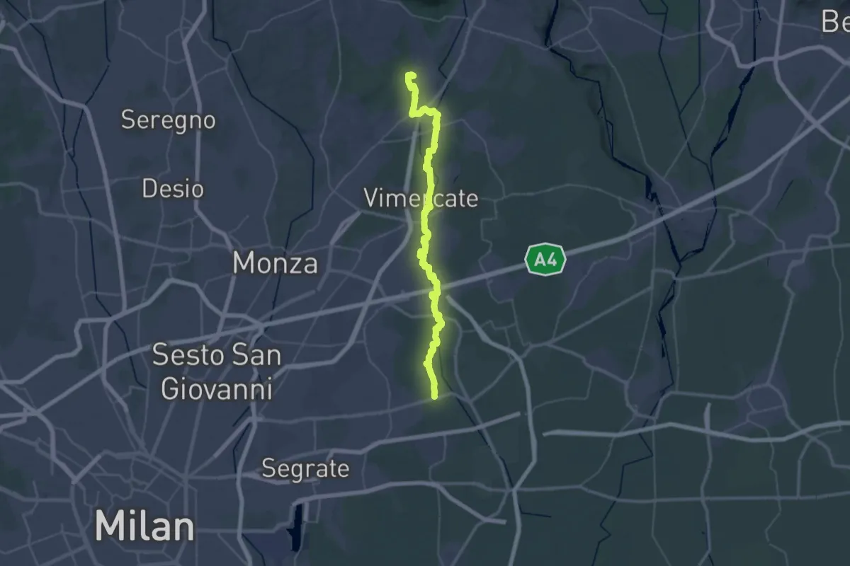
Demanding · Trail
Bussero (Cascina Gogna) – Lomagna (Fornace)
23.1 km · ↑ 53 m · 5 h 56 min · 14 km away
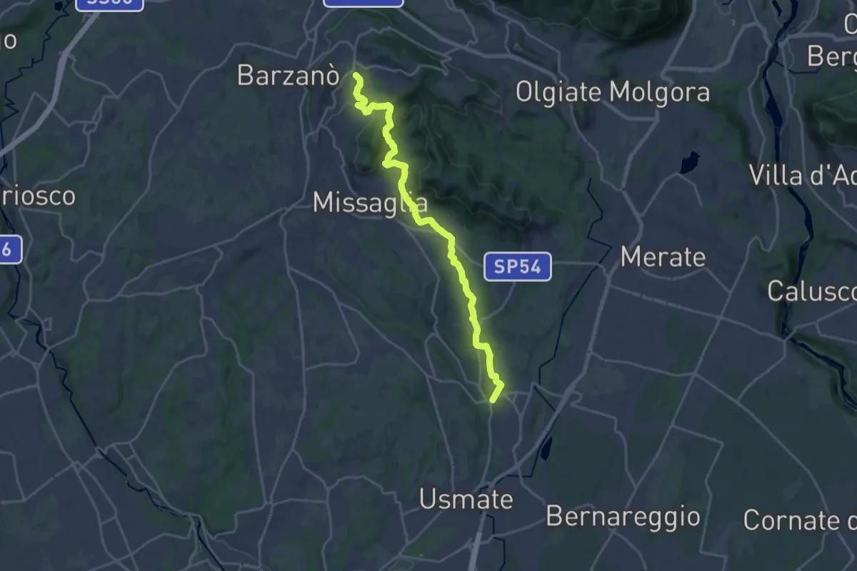
Demanding · Trail
Sirtori – Lomagna
20.3 km · ↑ 429 m · 5 h 43 min · 14 km away
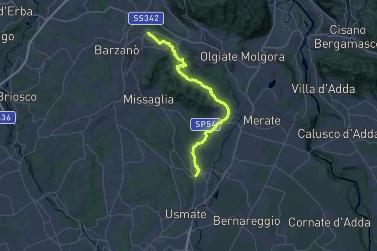
Demanding · Trail
Ceregallo – Lomagna
27.3 km · ↑ 443 m · 7 h 24 min · 14 km away
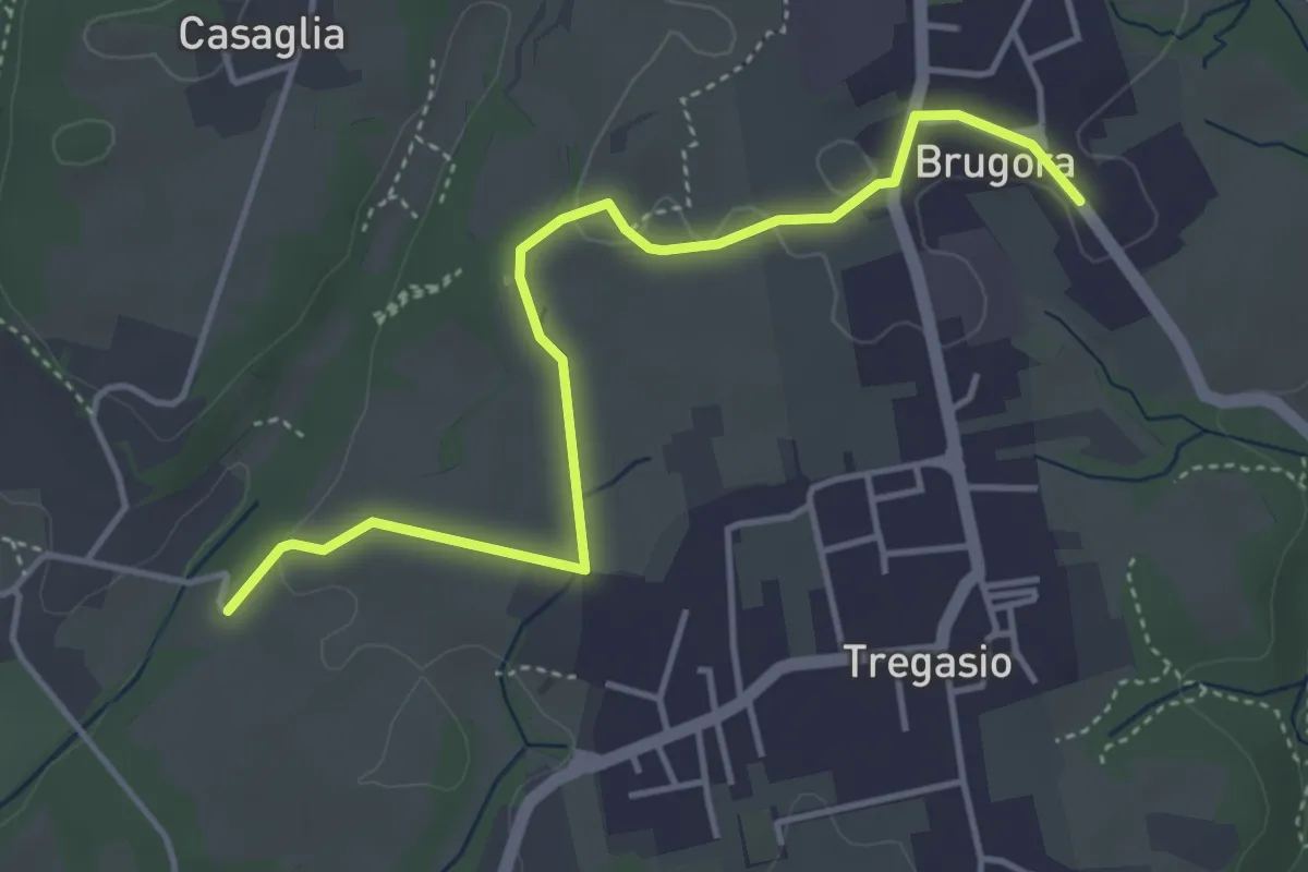
Easy · Trail
Brugora – Cascina Riva
4.5 km · ↑ 33 m · 1 h 8 min · 14 km away
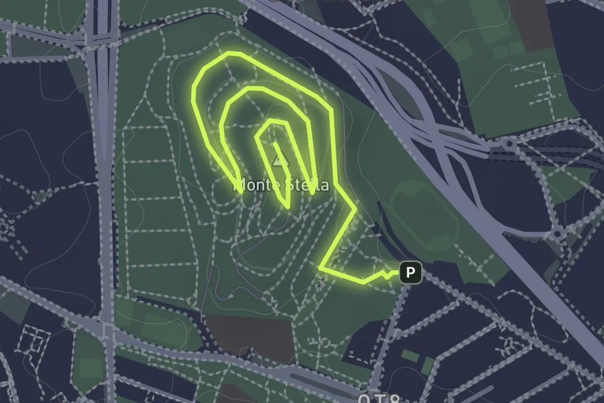
Easy · Summit
Sentiero Monte Stella
4.4 km · ↑ 27 m · 1 h 6 min · 14 km away
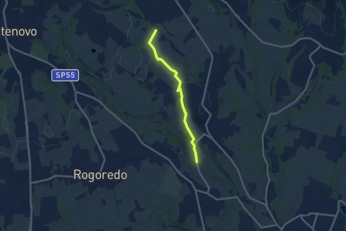
Easy · Trail
Campù Inferiore – Valaperta
5.1 km · ↑ 37 m · 1 h 17 min · 15 km away