Trails near Cairo Montenotte
82 hikes starting within 15 km, nearest first.
Nearest first, page 1 of 2
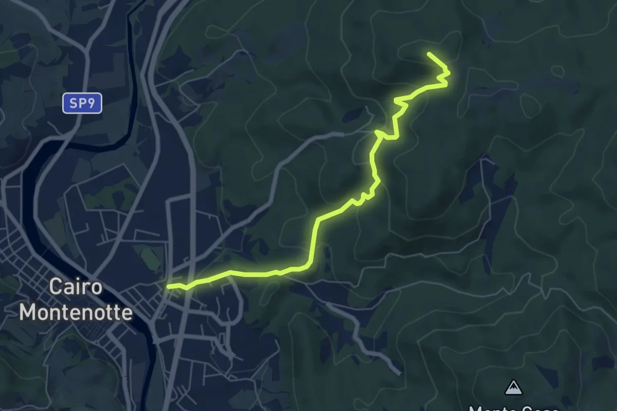
Medium · Summit
Bormida Natura - Tappa 5
6.5 km · ↑ 321 m · 2 h 14 min · 1 km away
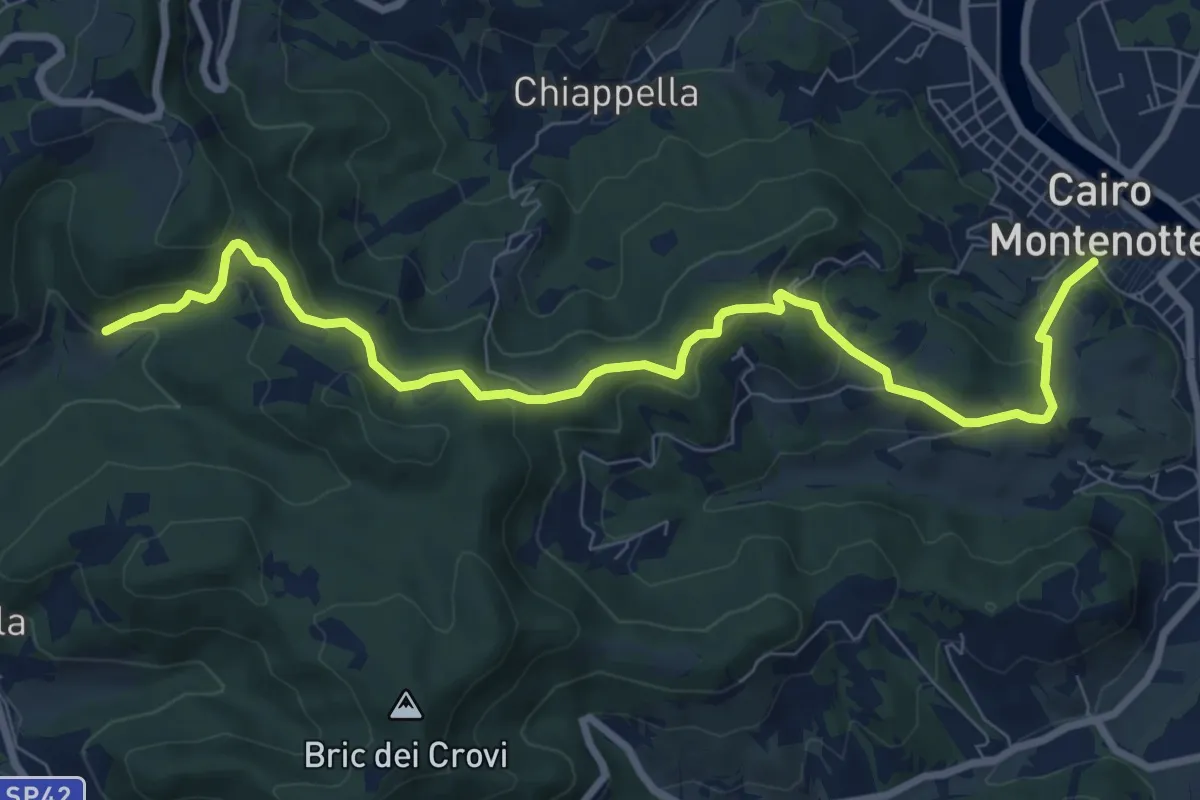
Medium · Trail
Bormida Natura - Tappa 6
9.7 km · ↑ 350 m · 3 h 2 min · 3 km away
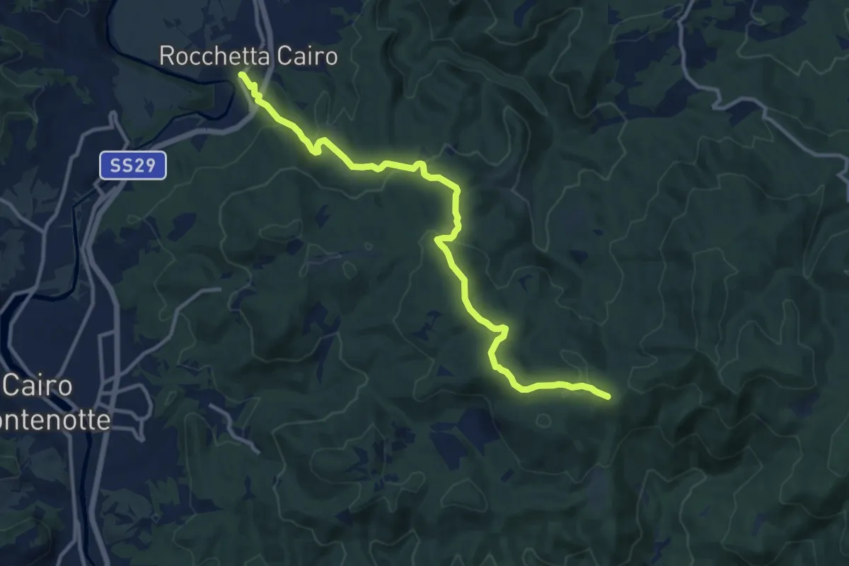
Medium · Trail
Bormida Natura - Tappa 4
12.4 km · ↑ 392 m · 3 h 47 min · 4 km away
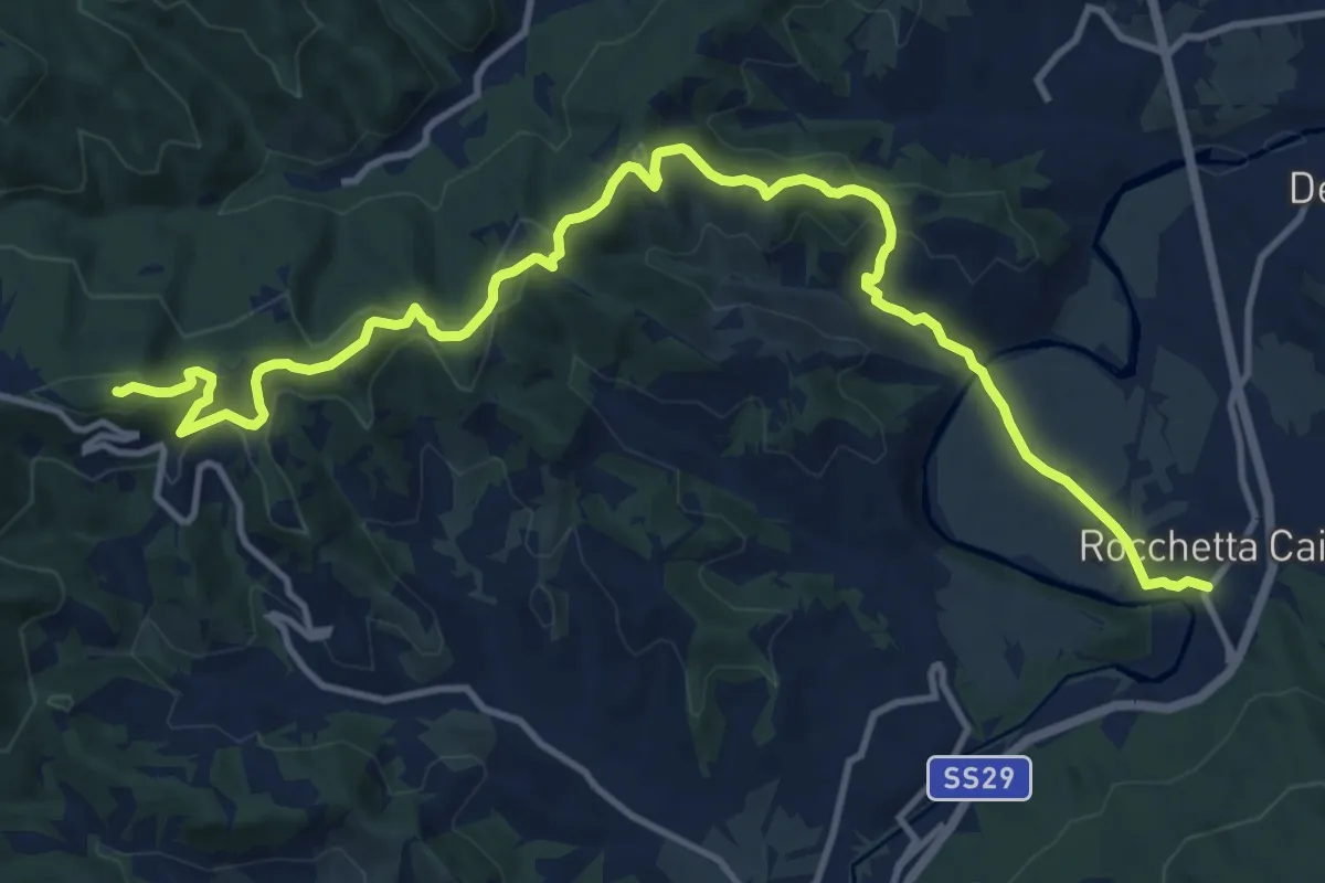
Medium · Summit
Bormida Natura - Tappa 7
15.8 km · ↑ 533 m · 4 h 53 min · 4 km away
Medium · Summit
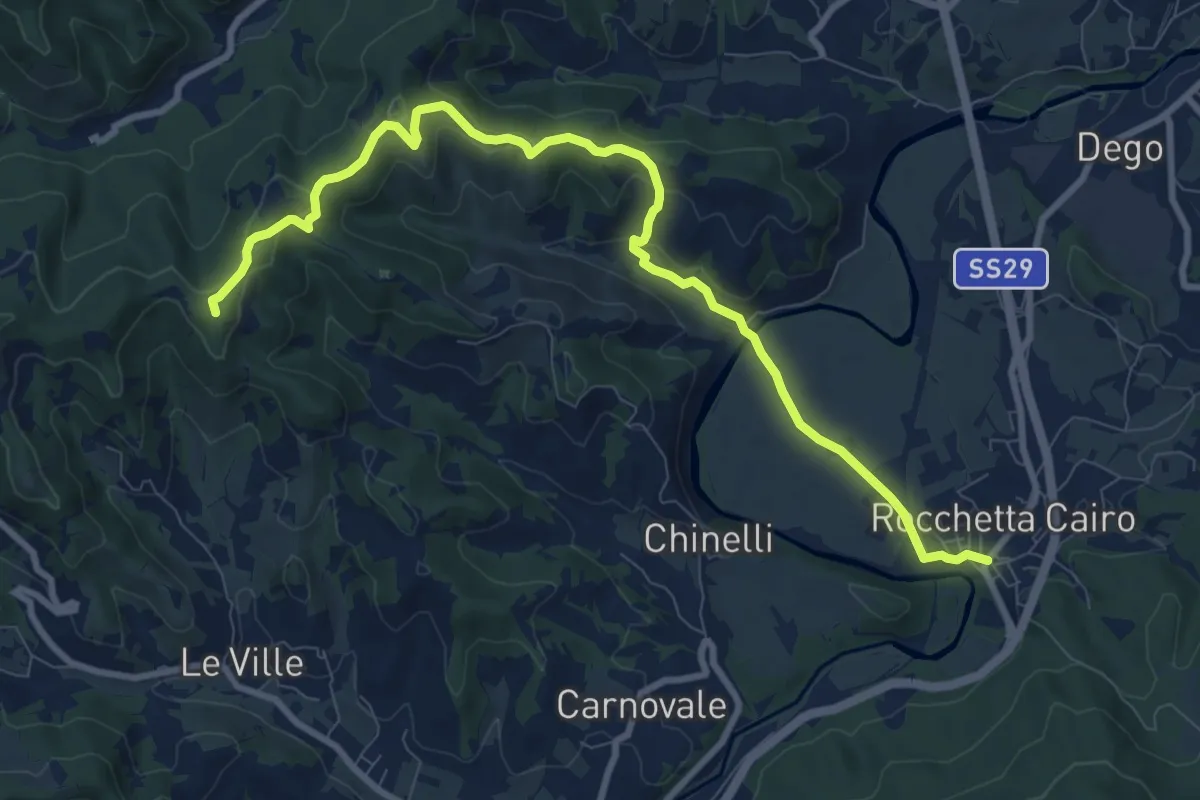
Bormida Natura - Tappa 3
10.8 km · ↑ 323 m · 3 h 15 min · 4 km away
Demanding · Summit
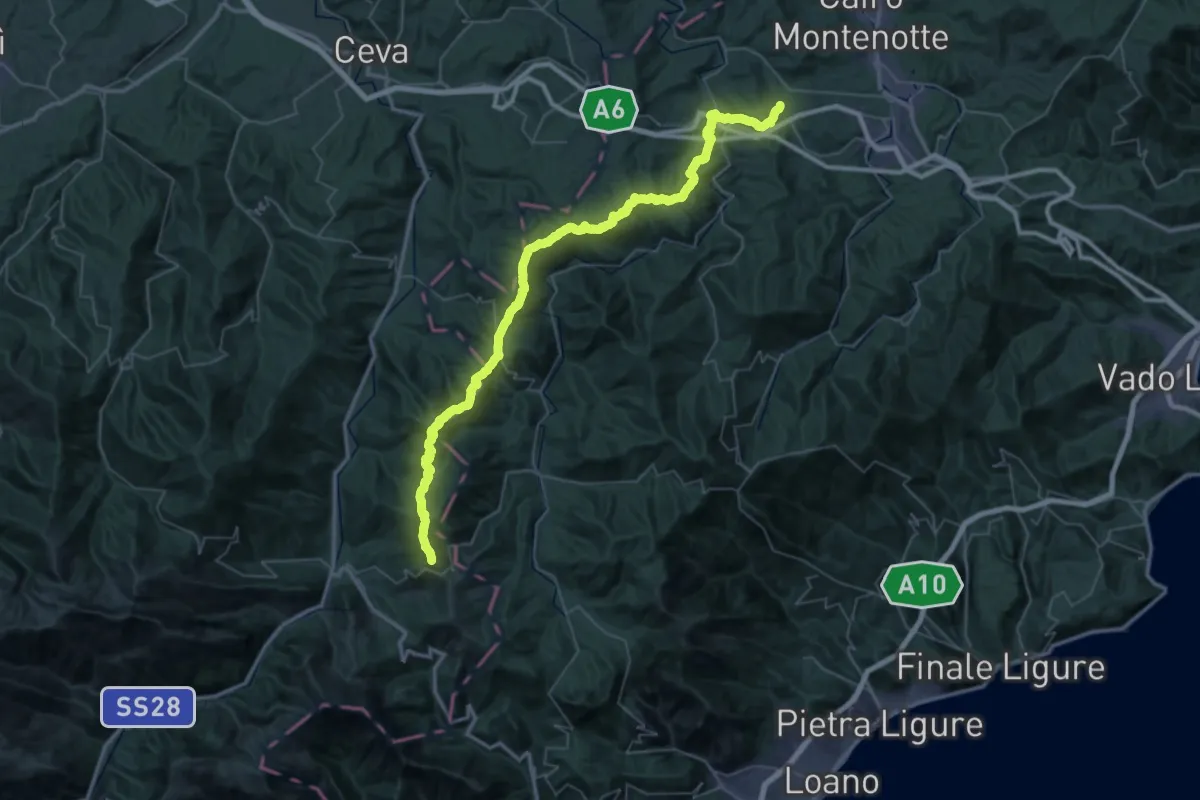
Millesimo - Colle Quazzo
61.4 km · ↑ 2307 m · 19 h 30 min · 5 km away
Demanding · Summit
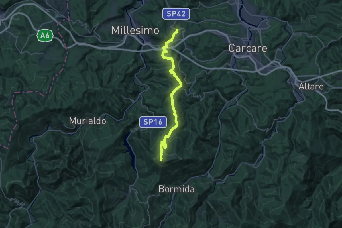
Cosseria - Cima Ronco di Maglio
23.4 km · ↑ 930 m · 7 h 33 min · 5 km away
Medium · Trail
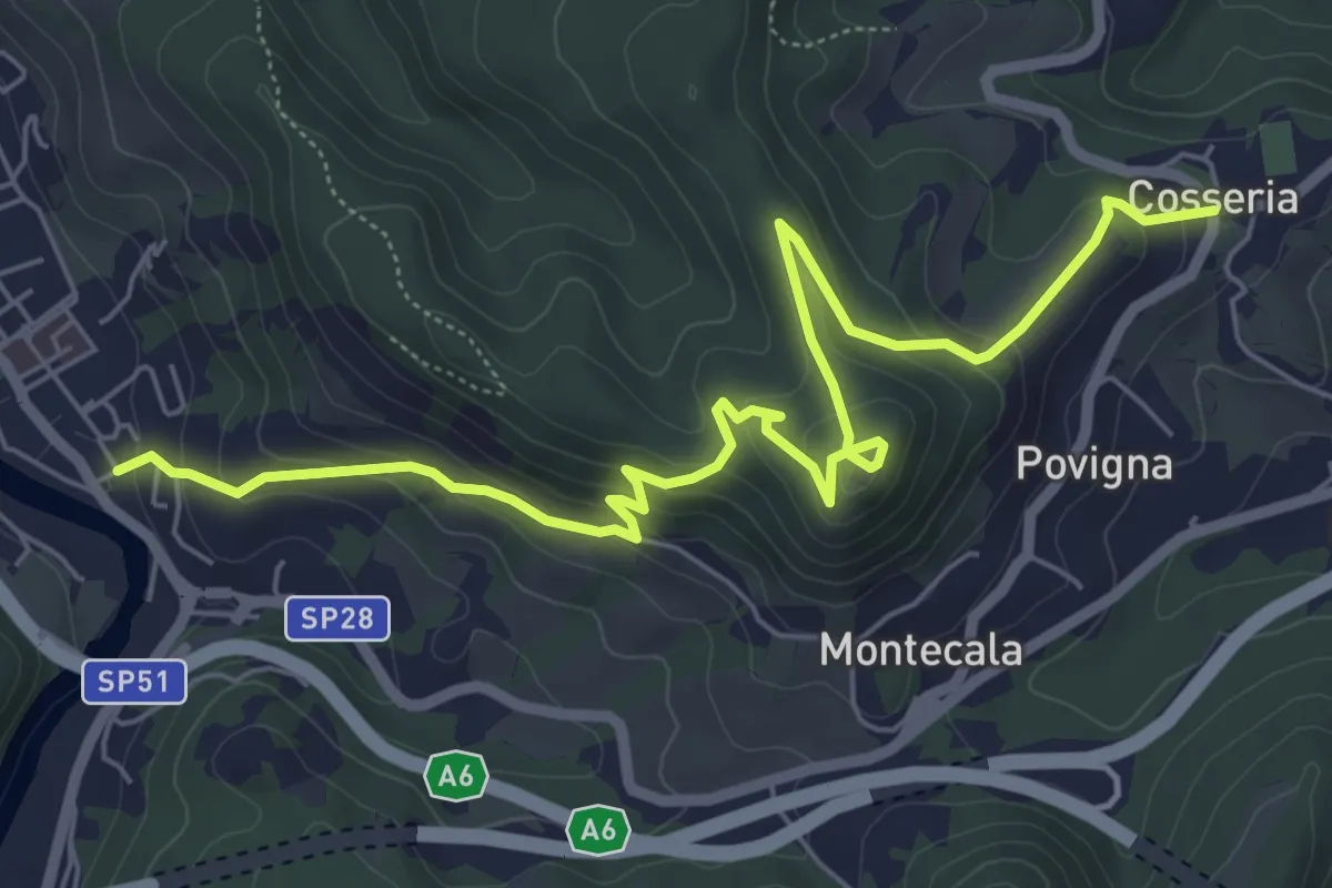
Millesimo - Castello di Cosseria - Cosseria
7.8 km · ↑ 399 m · 2 h 43 min · 5 km away
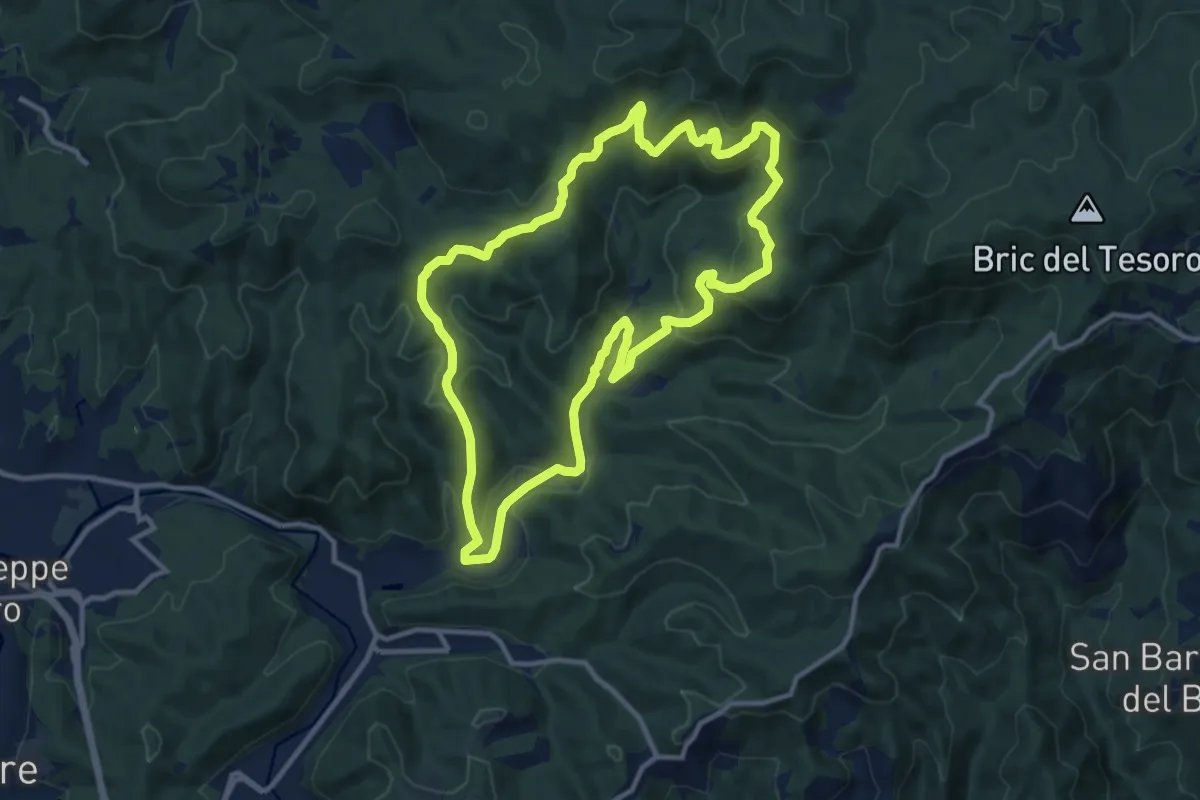
Medium · Summit
Adelasia Trail
11.6 km · ↑ 458 m · 3 h 53 min · 5 km away
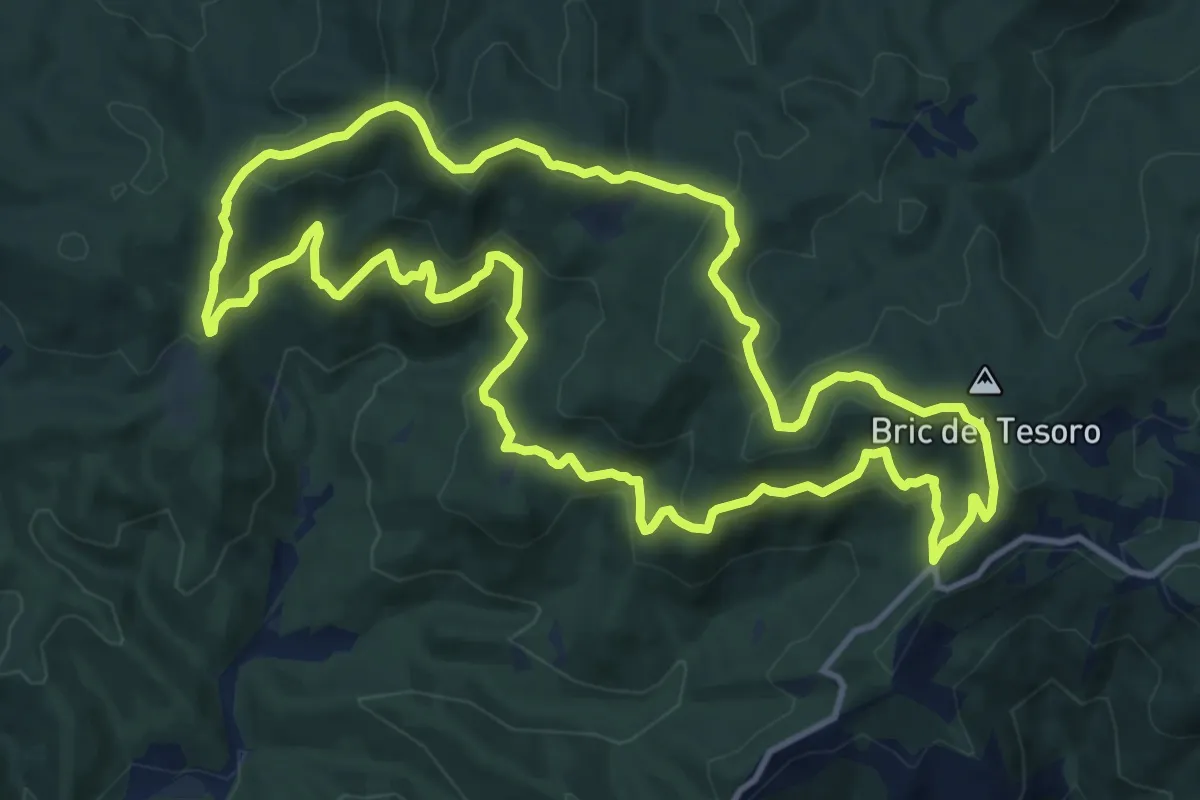
Medium · Summit
Adelasia - Sentiero 3
13.1 km · ↑ 614 m · 4 h 37 min · 5 km away
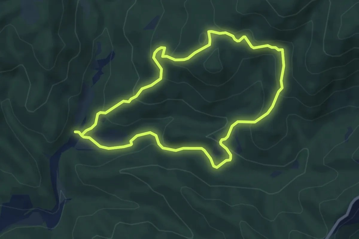
Easy · Summit
Adelasia - Sentiero 2
5.4 km · ↑ 251 m · 1 h 53 min · 6 km away
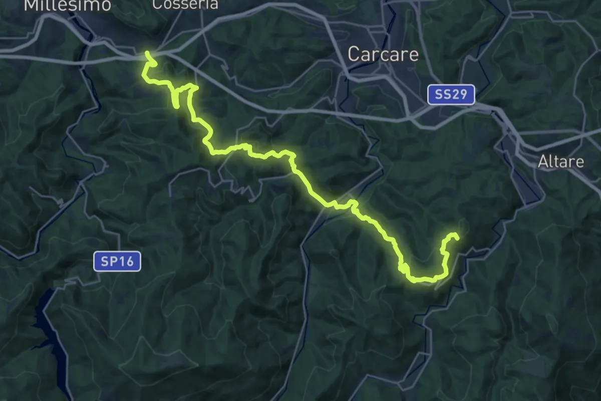
Demanding · Summit
Bormida Natura - Tappa 8
28.7 km · ↑ 1151 m · 9 h 17 min · 6 km away
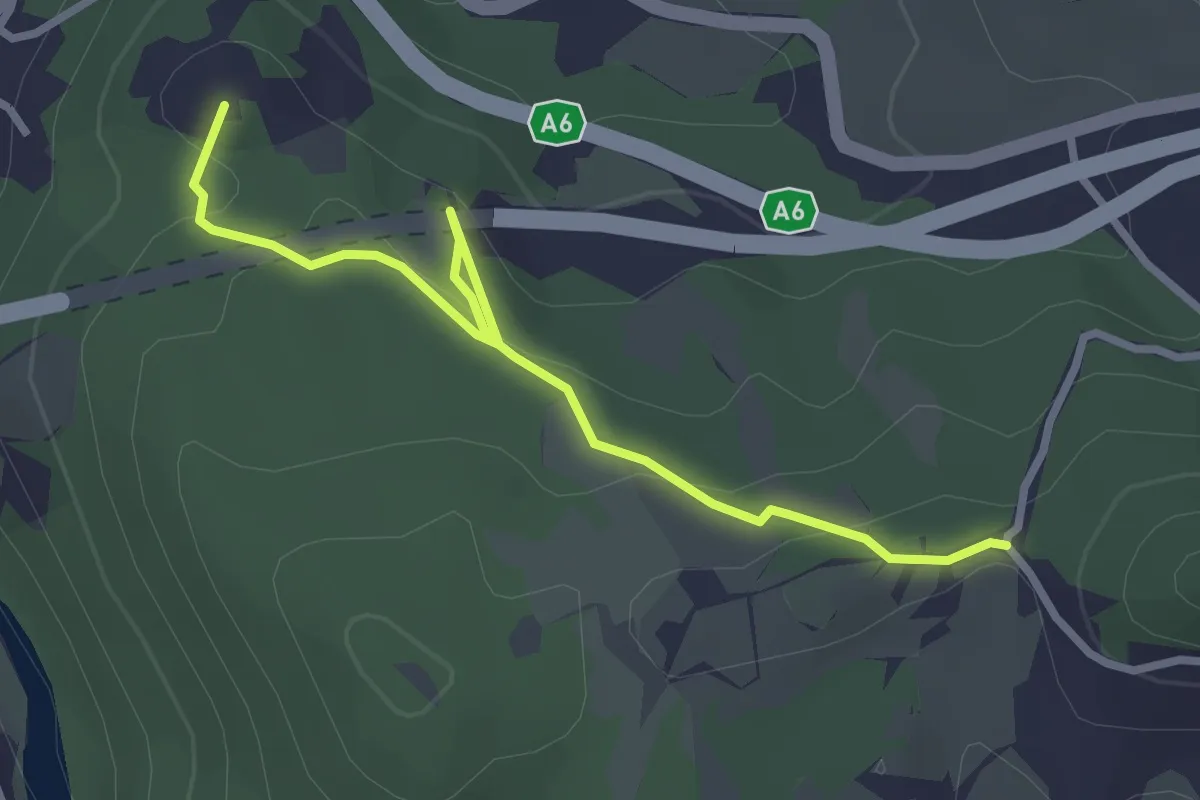
Easy · Summit
Millesimo - Tana dell'Orpe - la Colla
3.2 km · ↑ 93 m · 57 min · 7 km away
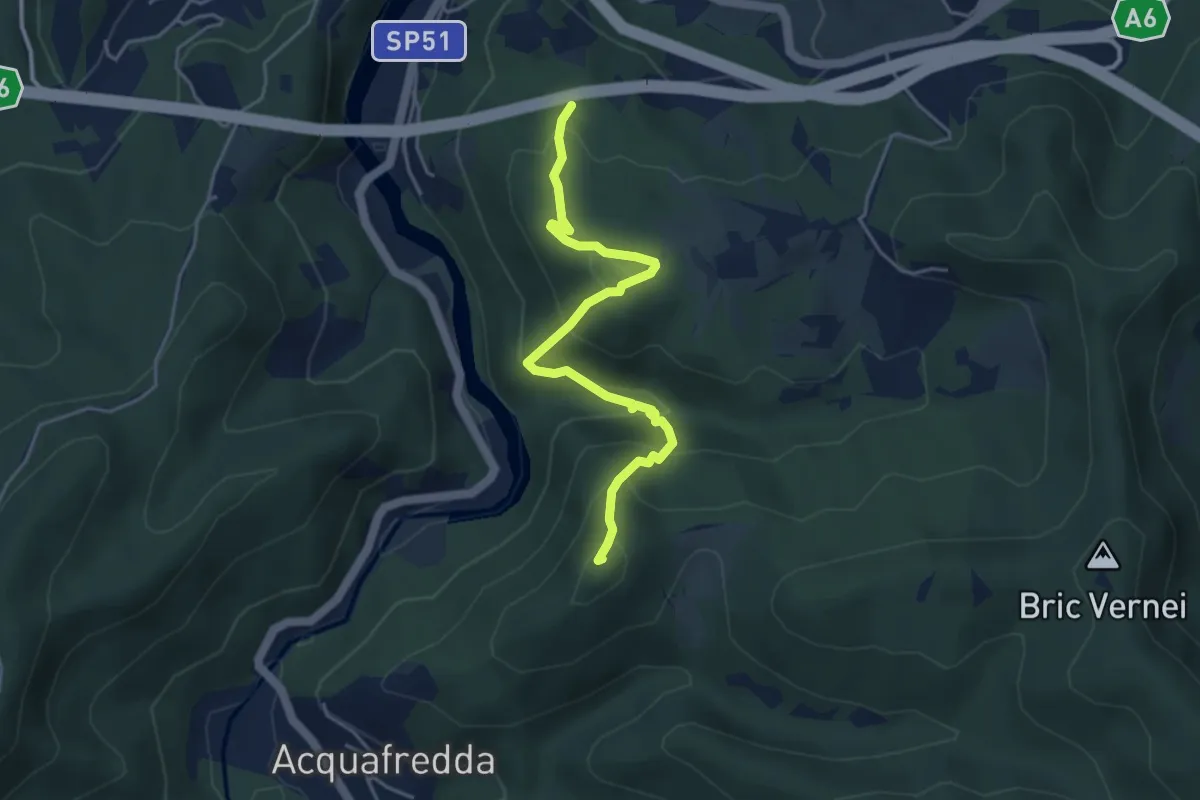
Easy · Summit
Acquafredda - Bric della Feia - Tana dell'Orpe
4.6 km · ↑ 314 m · 1 h 46 min · 7 km away
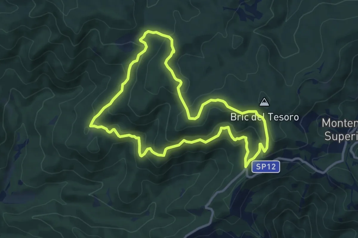
Medium · Summit
Adelasia - Sentiero Airone
8.2 km · ↑ 356 m · 2 h 49 min · 7 km away
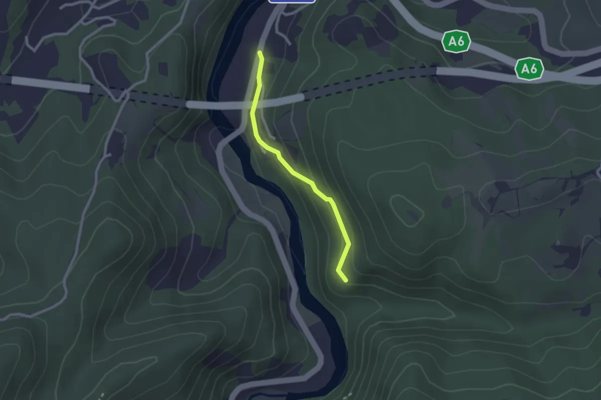
Easy · Trail
Collegamento per Bric della Feia
2.1 km · ↑ 91 m · 41 min · 7 km away
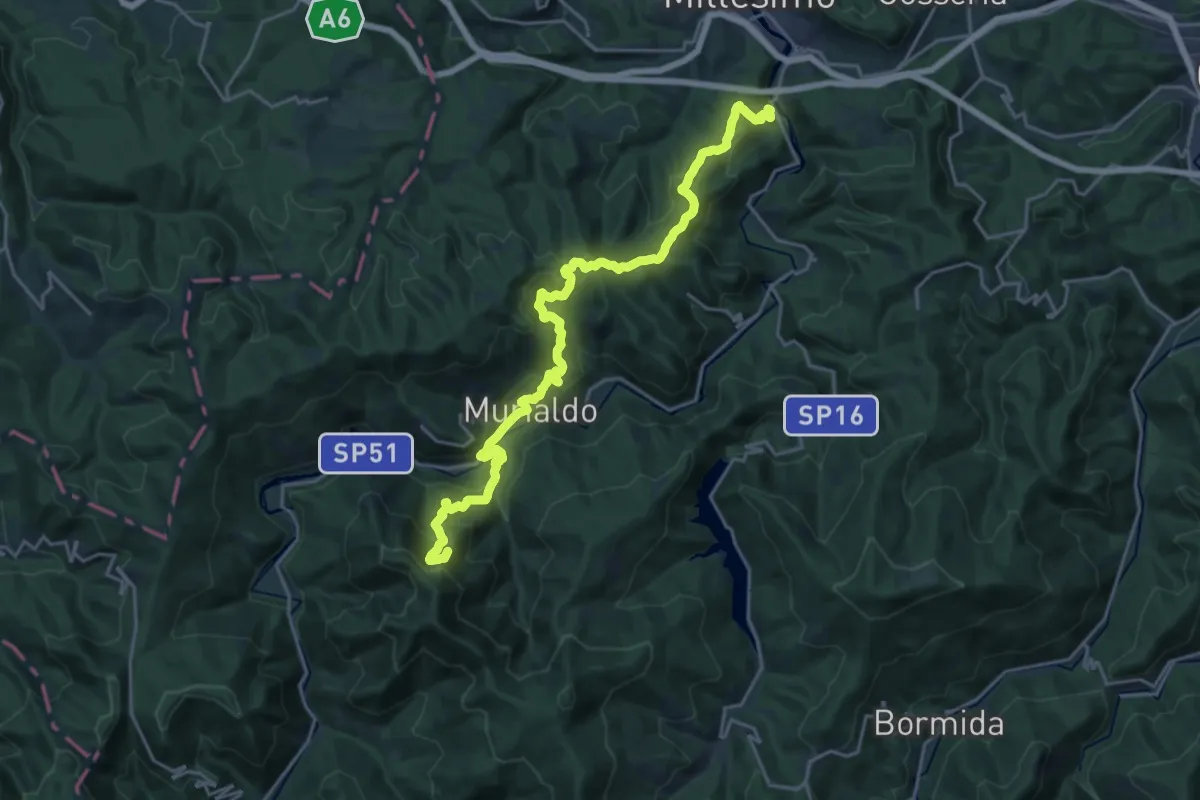
Demanding · Summit
Bormida Natura - Tappa 9
24.7 km · ↑ 1350 m · 8 h 46 min · 8 km away
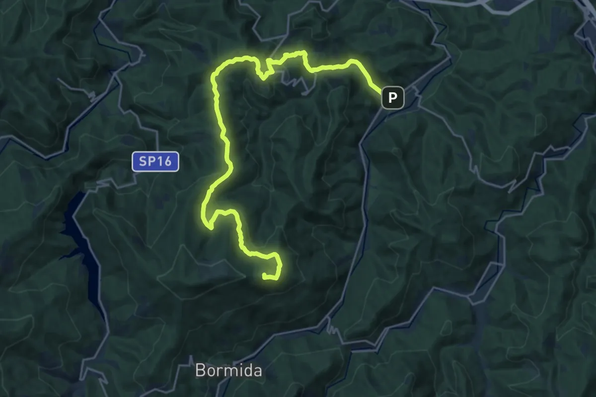
Demanding · Summit
Pallare – Tetto Vecchio
23.6 km · ↑ 791 m · 7 h 18 min · 8 km away
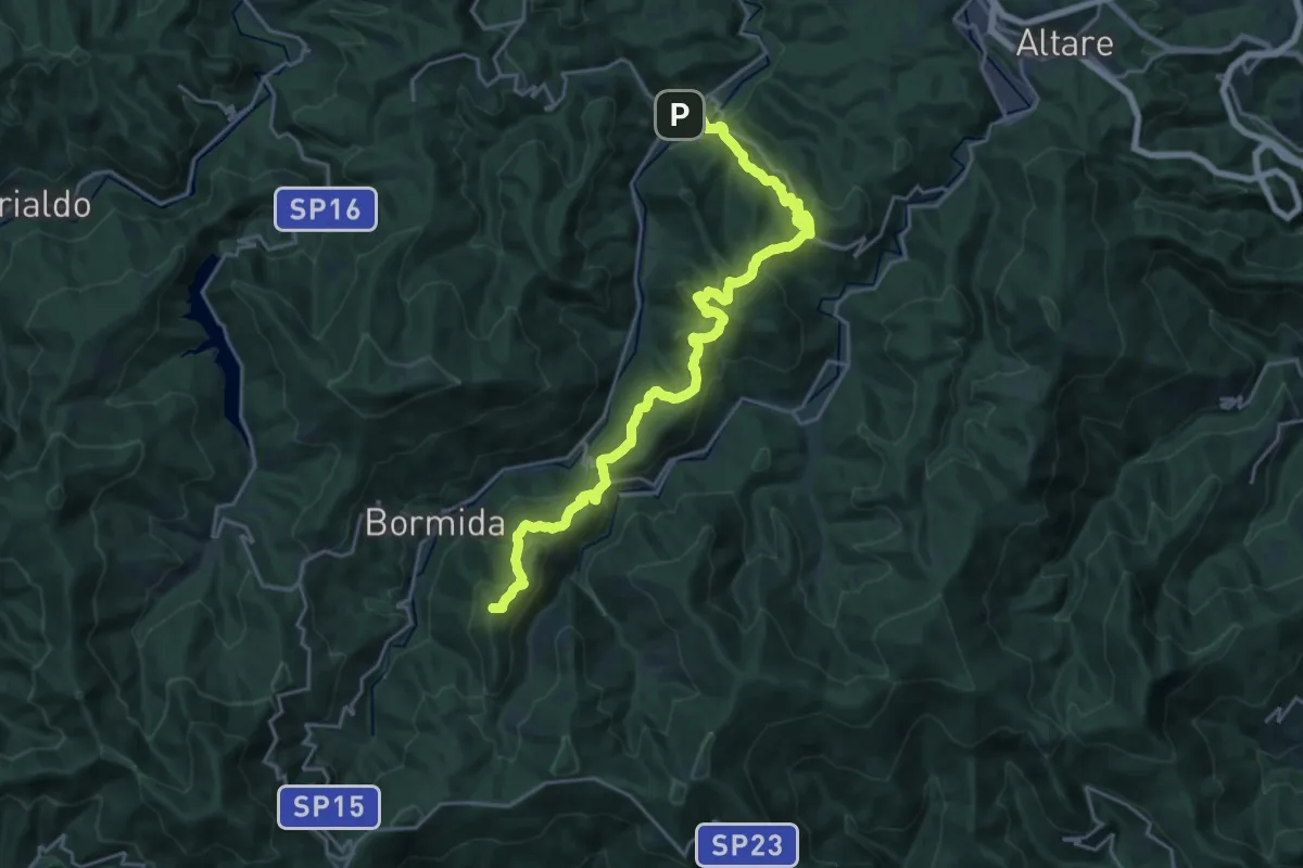
Demanding · Summit
C. Prato – Pallare
25.0 km · ↑ 1052 m · 8 h 10 min · 8 km away
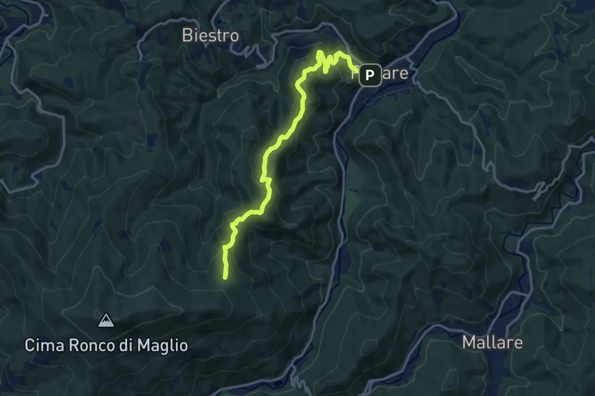
Medium · Summit
Pallare - Ronco di Maglio
12.2 km · ↑ 667 m · 4 h 20 min · 8 km away
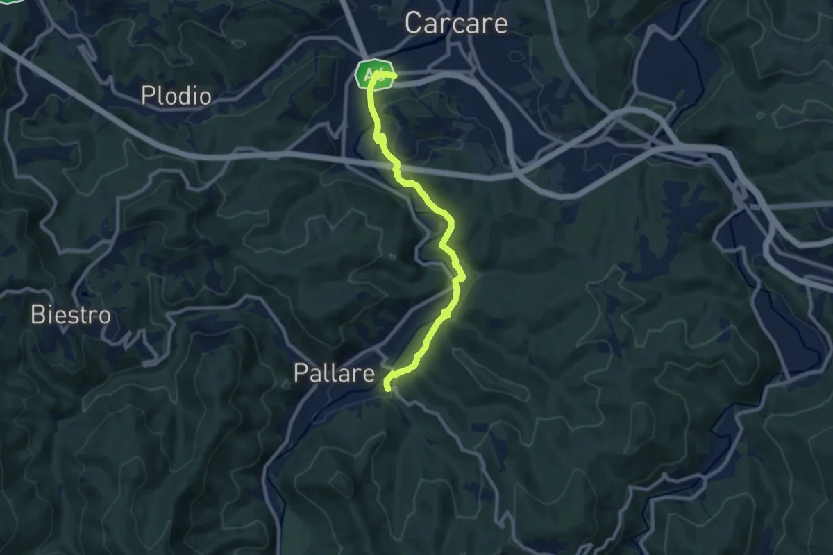
Medium · Trail
Antico cammino Pallare-Carcare
8.5 km · ↑ 162 m · 2 h 21 min · 8 km away
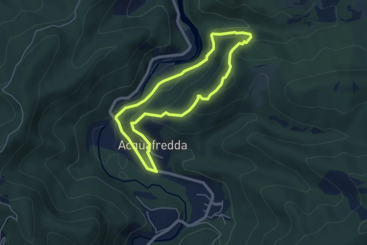
Demanding · Summit
Anello del Bric della Feia
4.1 km · ↑ 246 m · 1 h 33 min · 9 km away
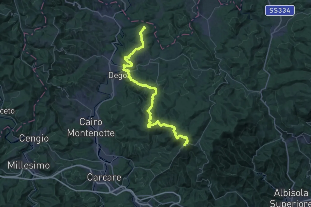
Demanding · Summit
Bormida Natura - Tappa 1
45.4 km · ↑ 1574 m · 14 h 8 min · 9 km away
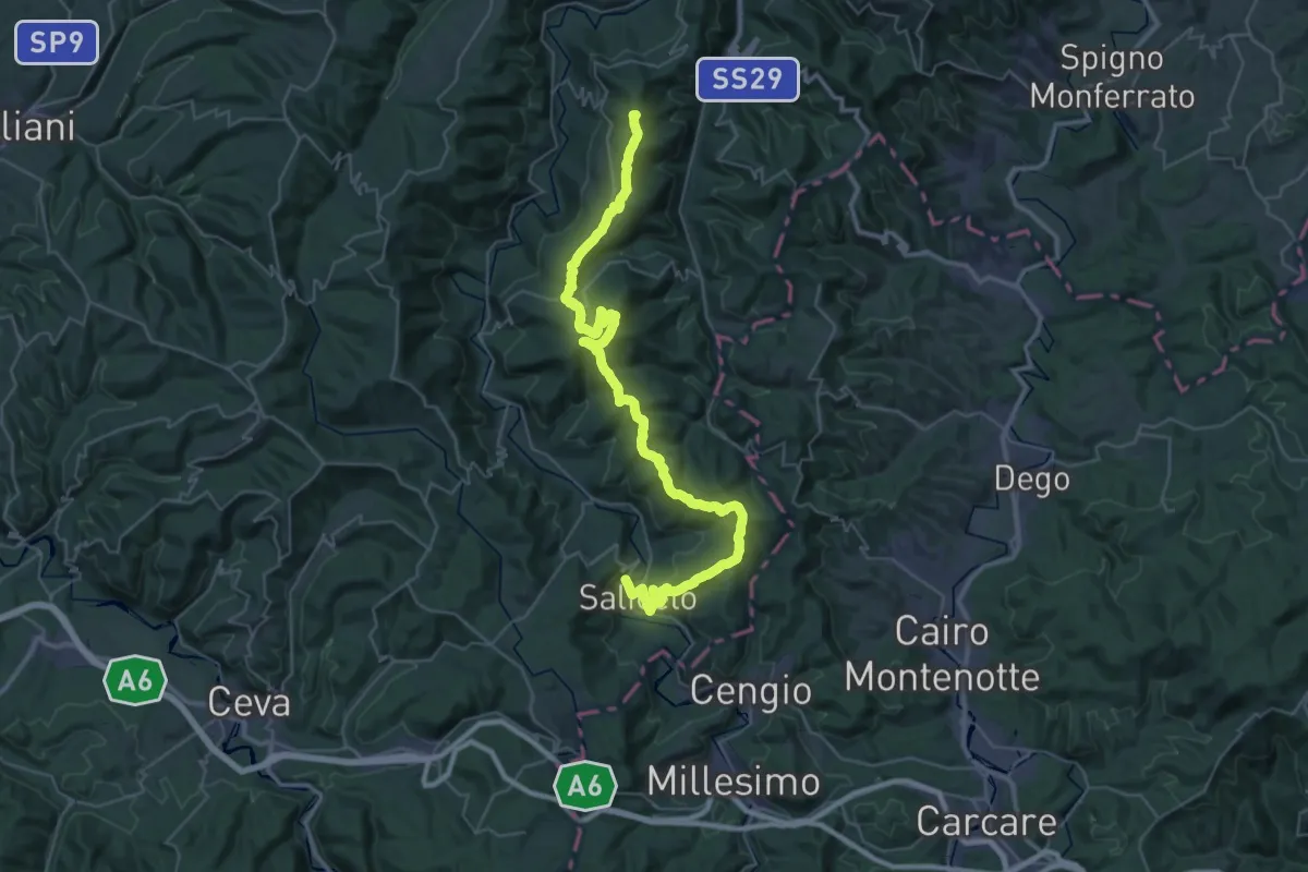
Demanding · Summit
Cortemilia, bivio CNC100, CNC100A – Saliceto, ponte sul torrente Bormida, bivio CNC100, CNC206
50.7 km · ↑ 1562 m · 15 h 22 min · 9 km away
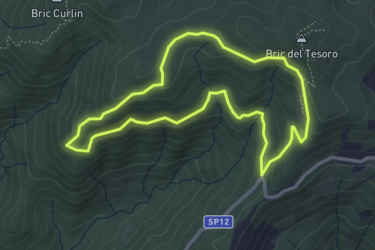
Medium · Summit
Adelasia - Sentiero 1
4.6 km · ↑ 230 m · 1 h 40 min · 9 km away
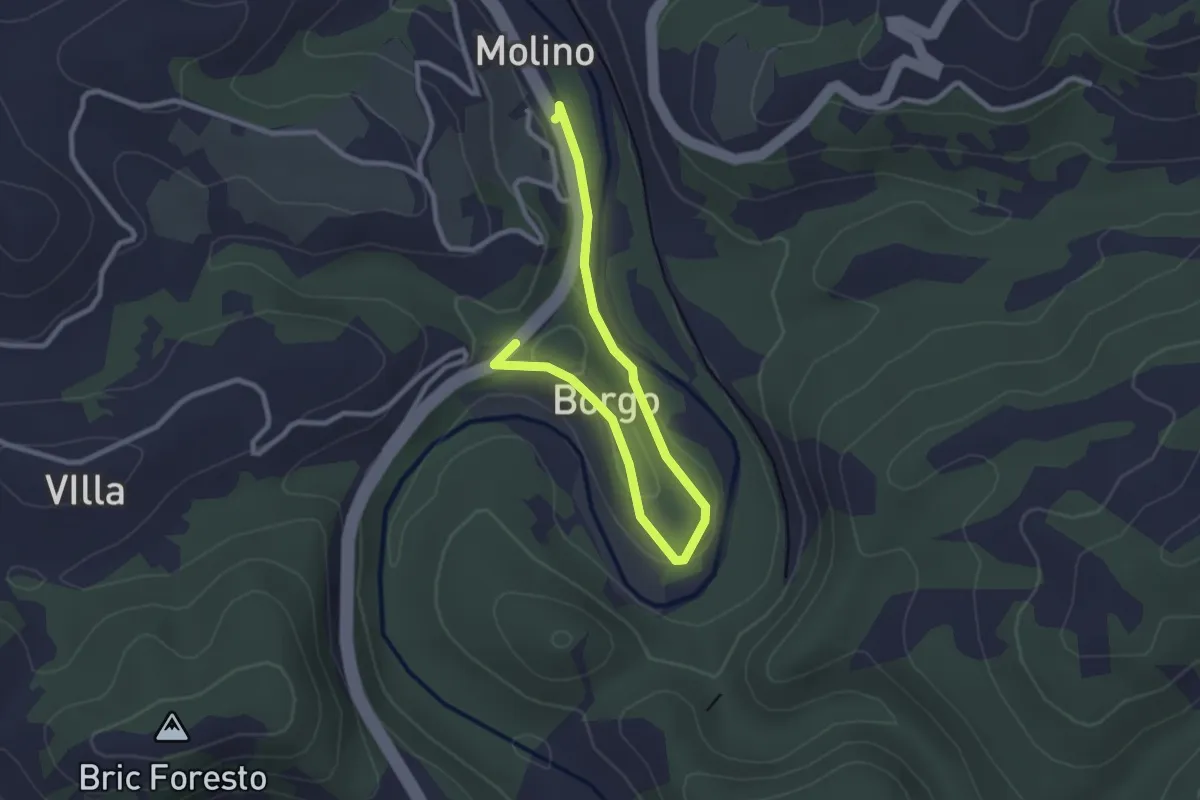
Easy · Trail
Sentiero per il Fungo
3.4 km · ↑ 36 m · 52 min · 9 km away
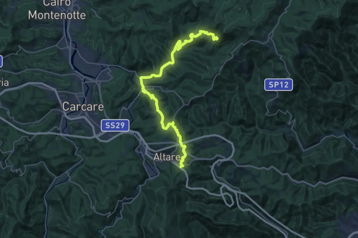
Demanding · Summit
Colle di Cadibona - Rifugio Cascina Miera
26.6 km · ↑ 845 m · 8 h 7 min · 10 km away
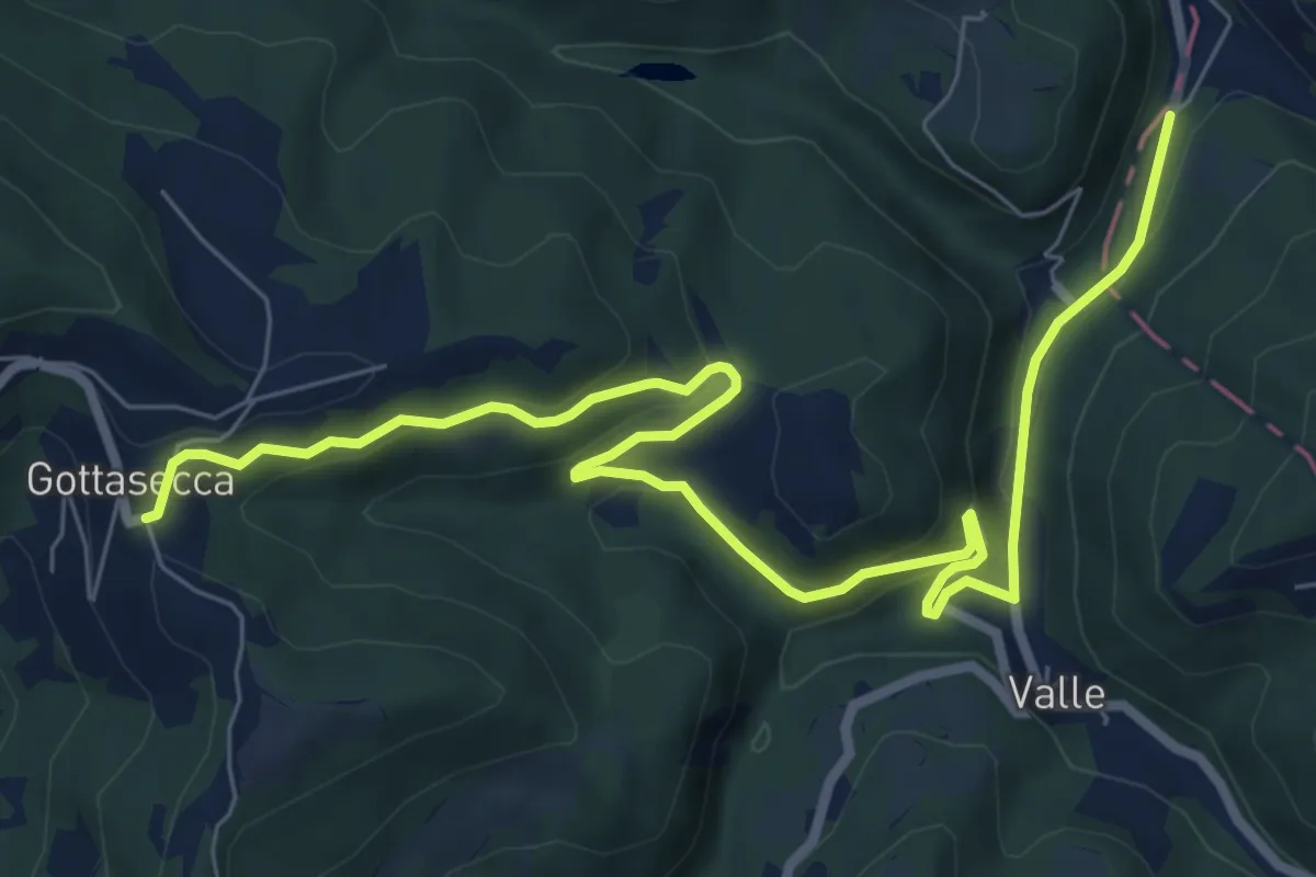
Medium · Trail
Gottasecca, confine regionale – Gottasecca, bivio CNC100, CNC107
9.8 km · ↑ 358 m · 3 h 6 min · 10 km away
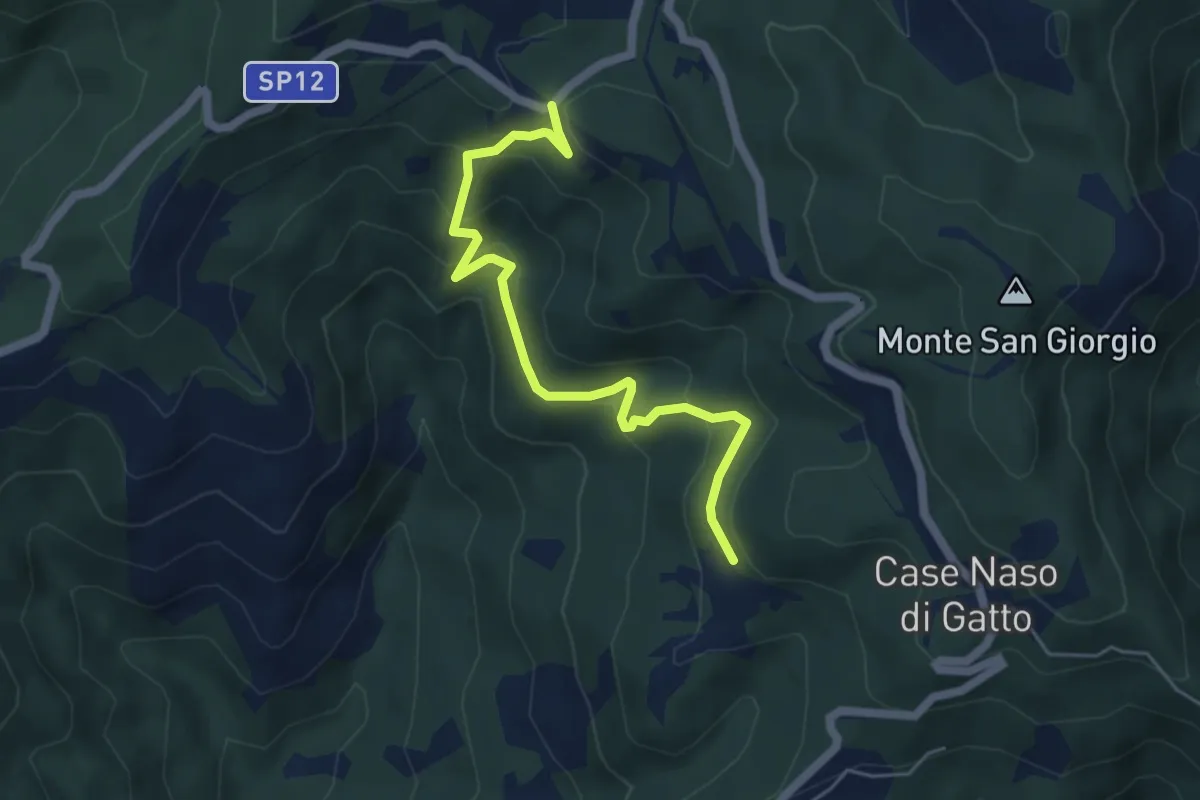
Easy · Trail
Gallina - Case Teggia - Case Bricco - Traversine
5.4 km · ↑ 317 m · 1 h 58 min · 10 km away
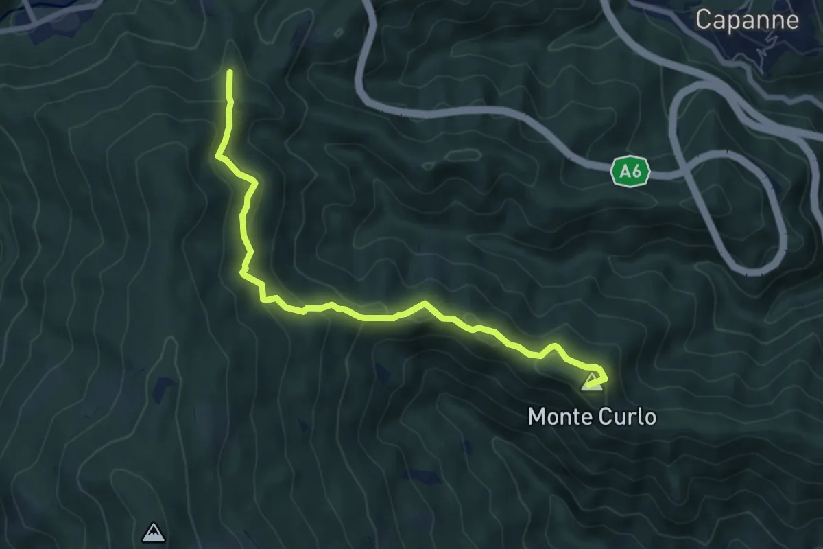
Medium · Summit
Quiliano – AV
7.0 km · ↑ 335 m · 2 h 23 min · 10 km away
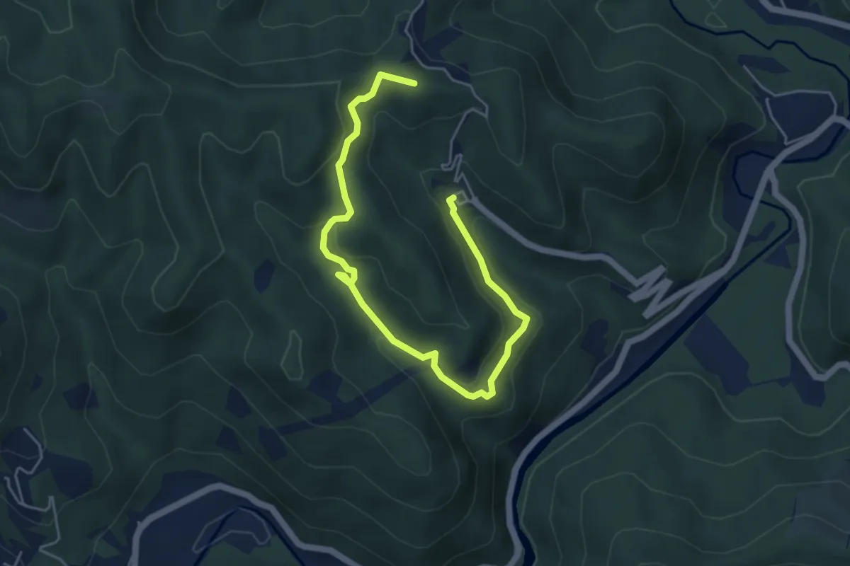
Easy · Summit
Valle dei Tre Re
6.1 km · ↑ 202 m · 1 h 52 min · 10 km away
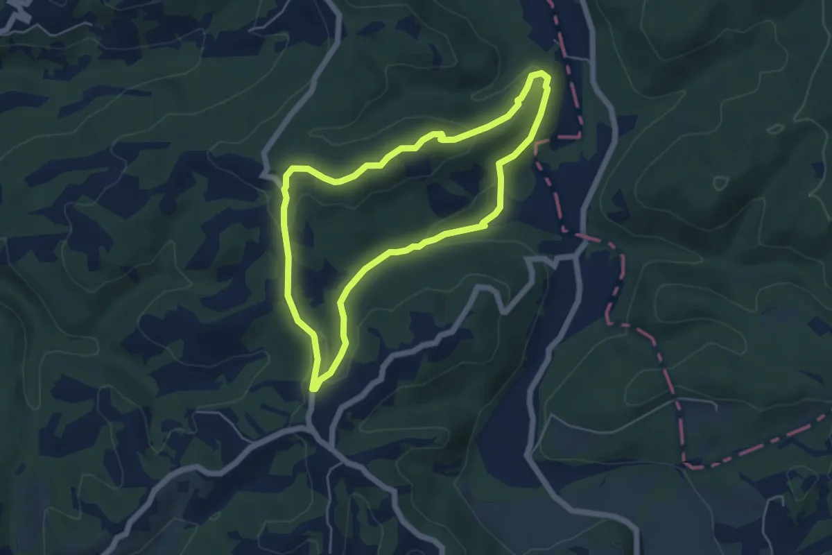
Easy · Summit
Anello di San Giuseppe
4.8 km · ↑ 123 m · 1 h 27 min · 10 km away
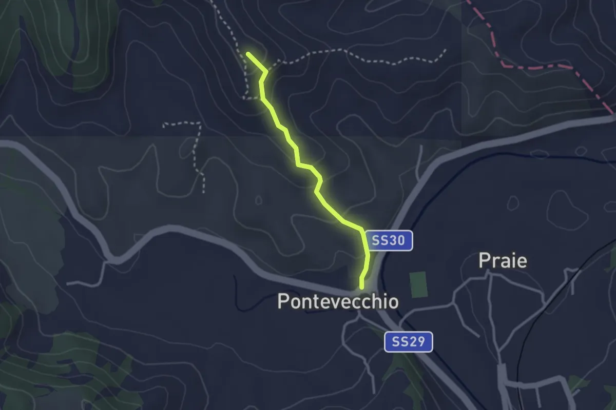
Easy · Summit
Sentiero delle Creste
2.4 km · ↑ 131 m · 50 min · 10 km away
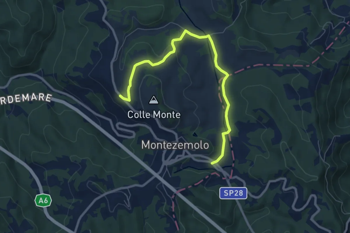
Easy · Trail
Montezemolo, località Pian du Don, bivio con ex strada SS28bis – Montezemolo, centro paese, bivio CNAB14, CNAB15, CNAB20
7.3 km · ↑ 113 m · 1 h 58 min · 10 km away
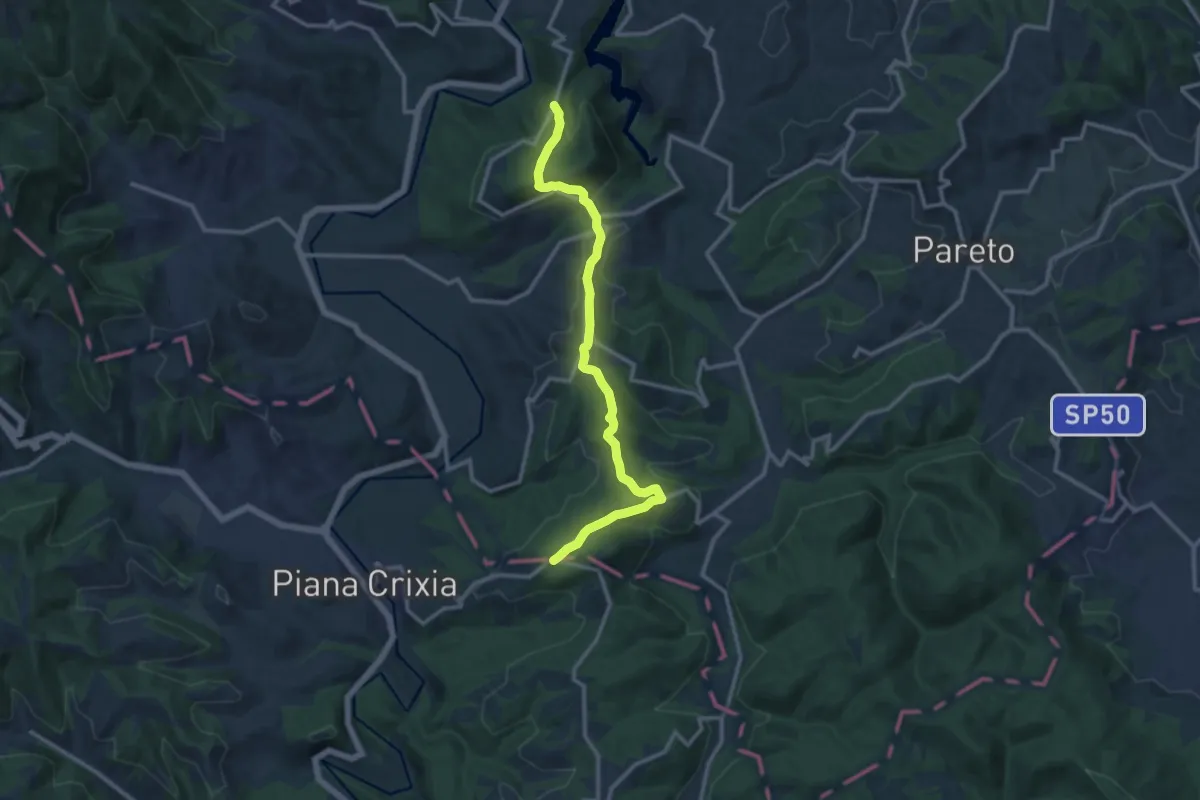
Medium · Trail
Spigno Monferrato, bivio ALA574-ALA578 – Spigno Monferrato, Bric dei Cheilini
12.8 km · ↑ 415 m · 3 h 55 min · 11 km away
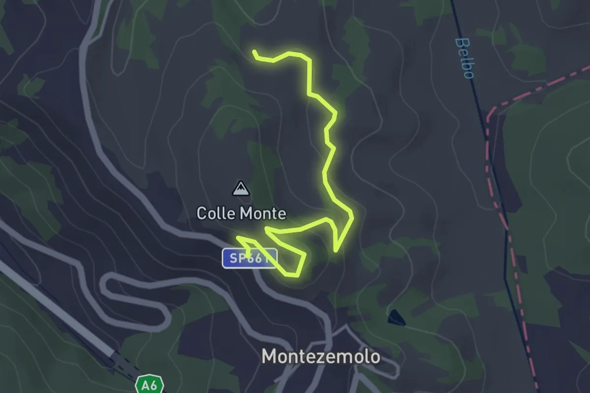
Easy · Trail
Montezemolo, presso presso Val Dalbizza, bivio CNAB20-CNAB21 – Montezemolo, bivio SP 661
3.6 km · ↑ 107 m · 1 h 5 min · 11 km away
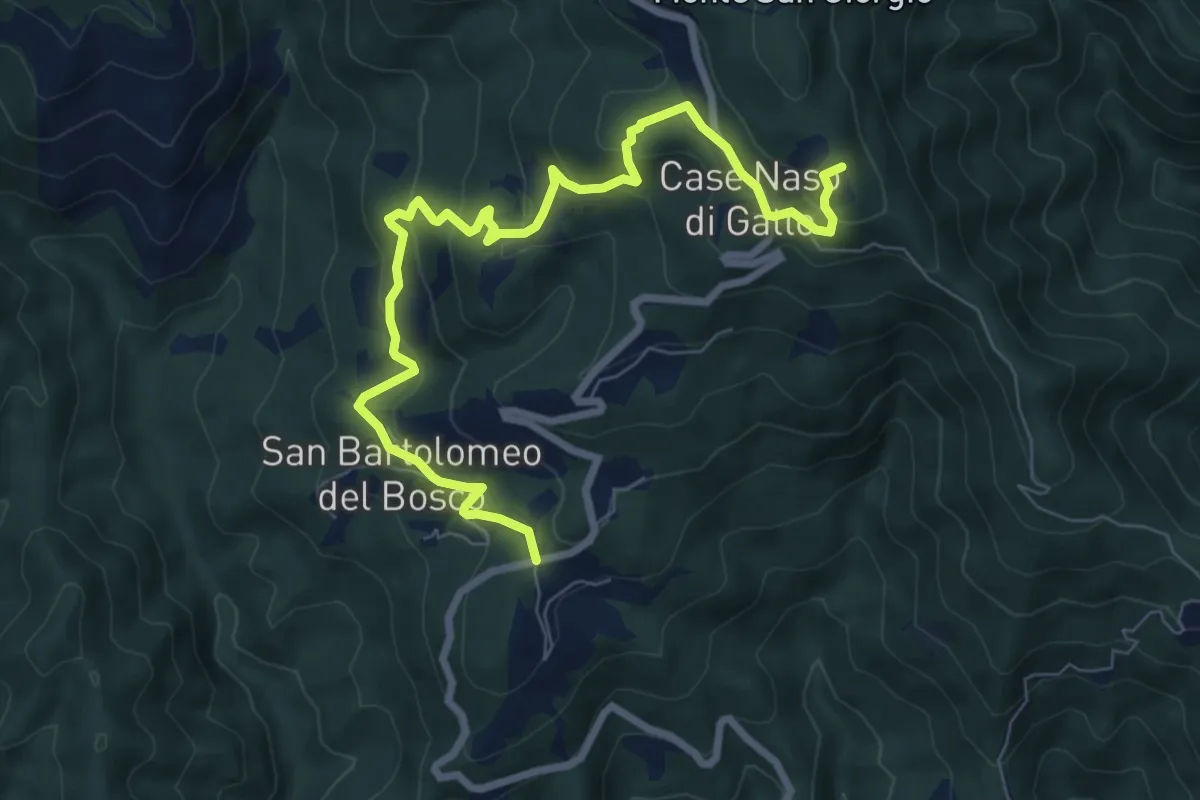
Medium · Summit
San Bartolomeo del Bosco - Naso di Gatto - Monte San Giorgio
9.0 km · ↑ 443 m · 3 h 4 min · 11 km away
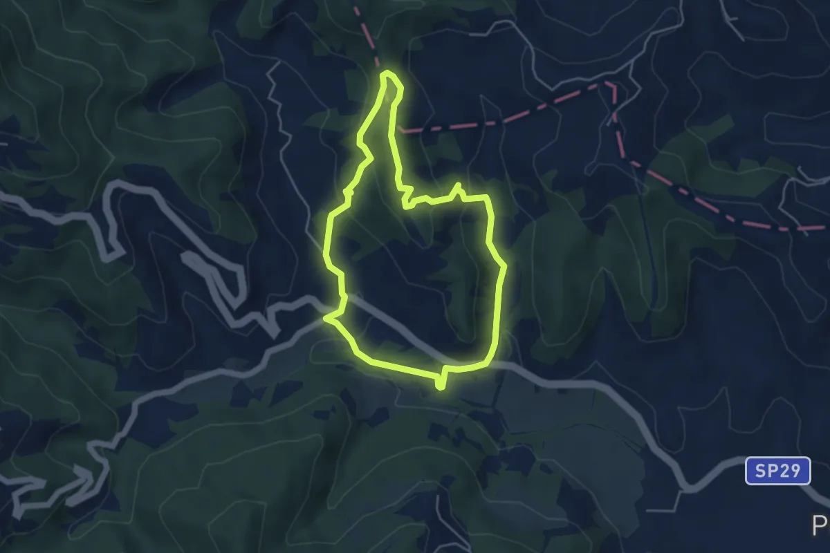
Easy · Summit
Sentiero 4 del Parco Naturale di Piana Crixia
4.2 km · ↑ 155 m · 1 h 23 min · 11 km away
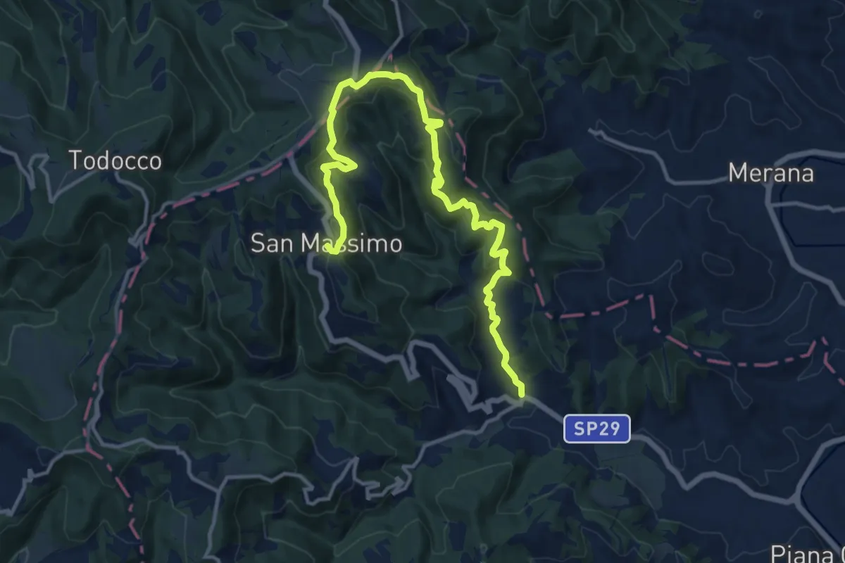
Medium · Trail
Sentiero 5 del Parco Naturale di Piana Crixia
15.1 km · ↑ 562 m · 4 h 47 min · 11 km away
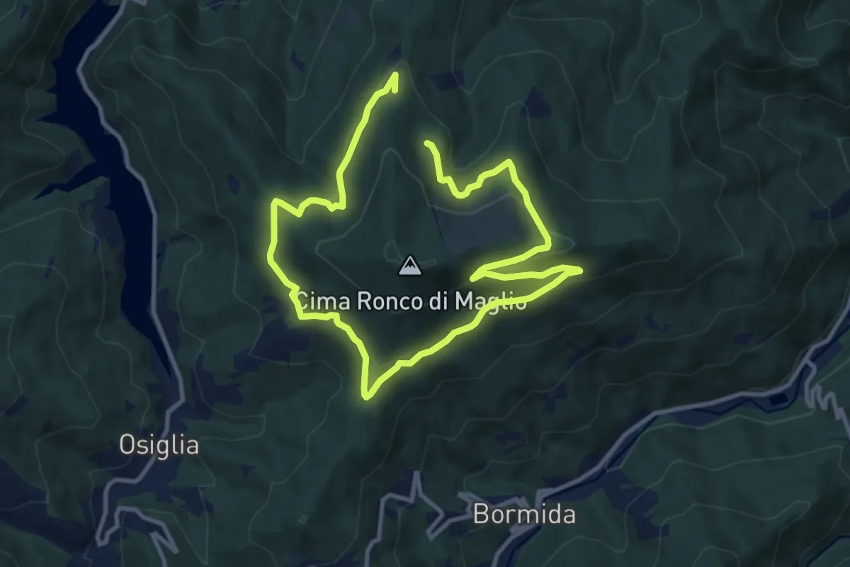
Medium · Trail
Anello Ronco di Maglio
8.3 km · ↑ 294 m · 2 h 42 min · 11 km away
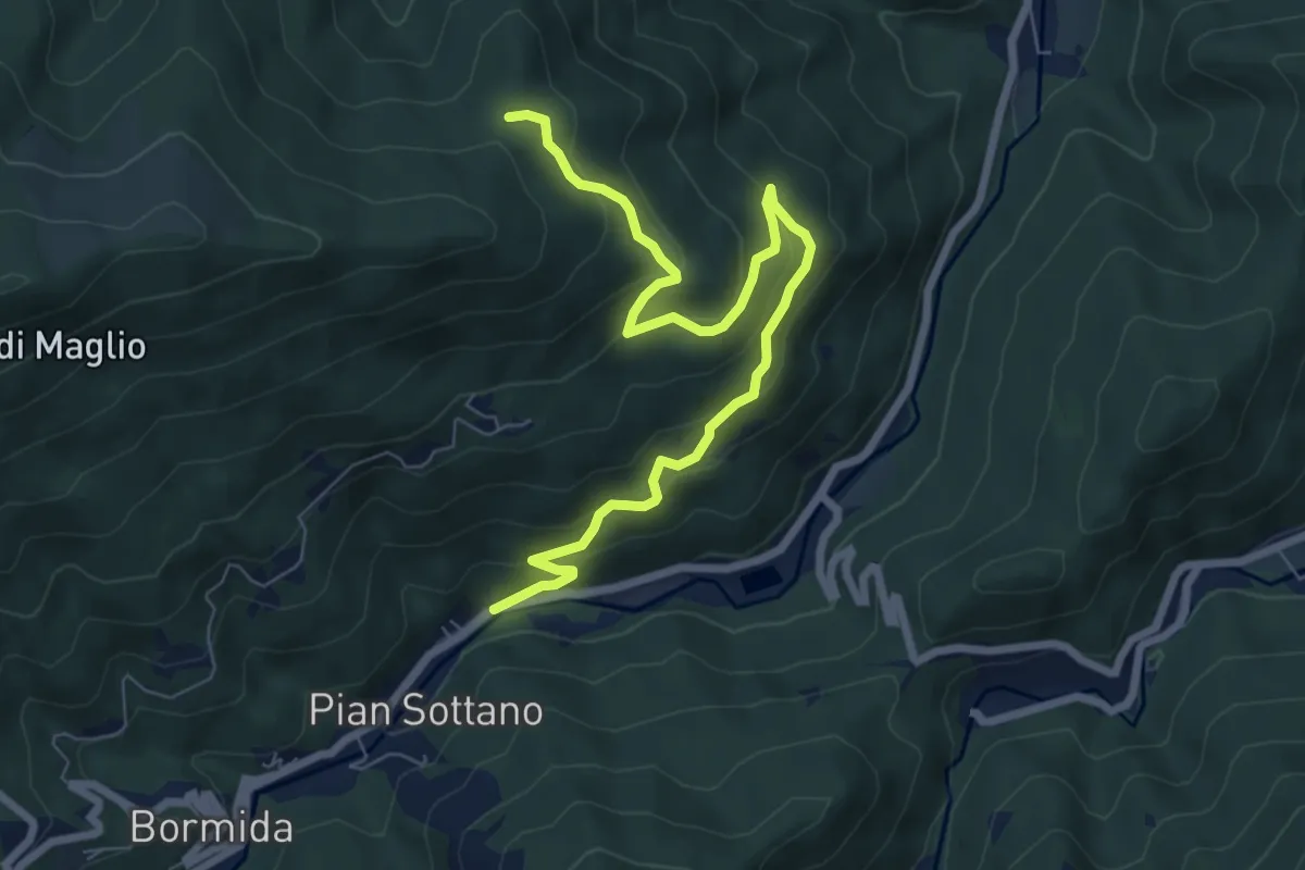
Medium · Trail
Pian Sottano – Tre Abeti
8.3 km · ↑ 423 m · 2 h 53 min · 11 km away
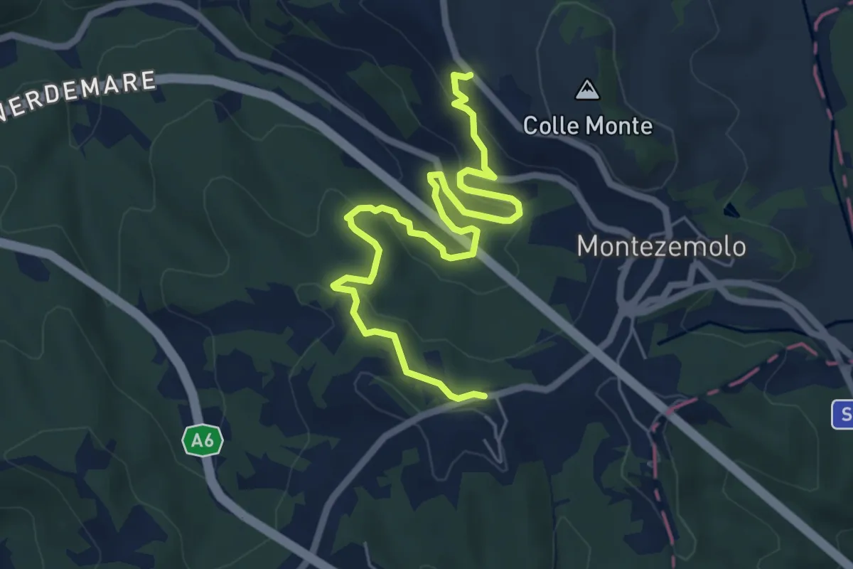
Easy · Trail
Montezemolo, frazione Miccia, bivio SP per Castelnuovo – Montezemolo, centro paese, bivio CNAB14, CNAB15, CNAB20
7.0 km · ↑ 292 m · 2 h 18 min · 12 km away
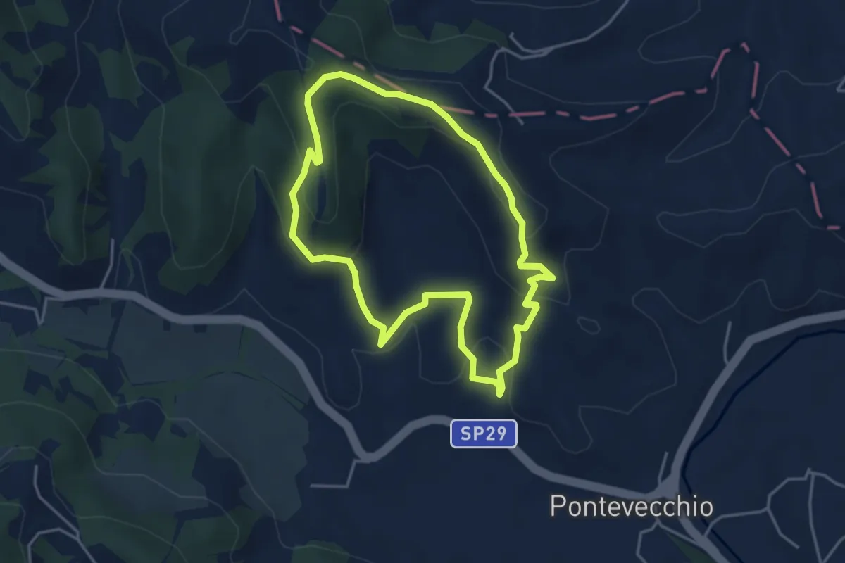
Easy · Summit
Sentiero 2 del Parco Naturale di Piana Crixia
3.8 km · ↑ 164 m · 1 h 19 min · 12 km away
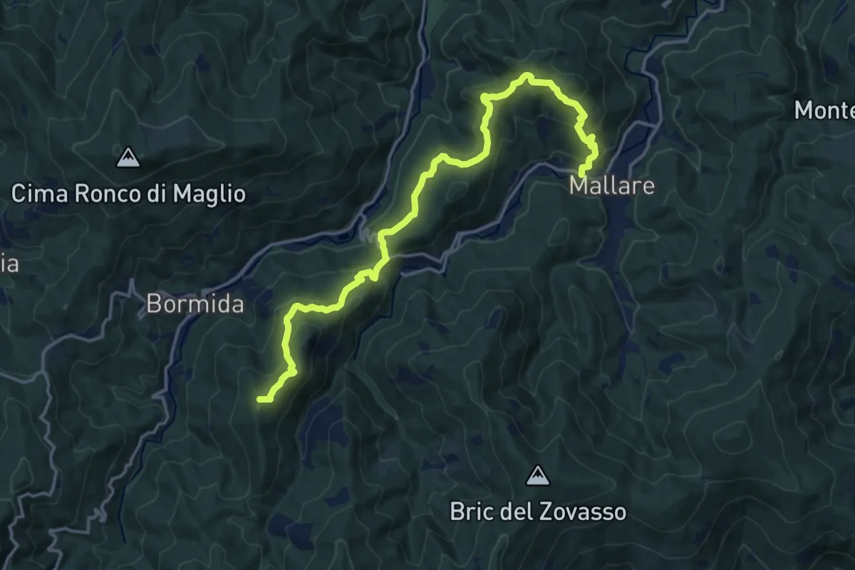
Demanding · Summit
Mallare - Colla del Bresca - Madonna della Neve
17.4 km · ↑ 864 m · 5 h 59 min · 12 km away
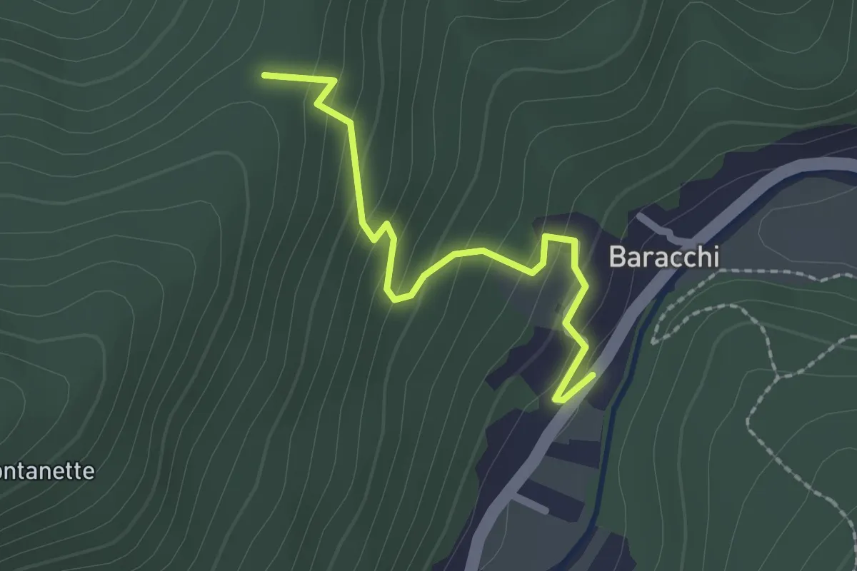
Easy · Trail
Baracchi – Colla La Costa
2.0 km · ↑ 141 m · 47 min · 12 km away
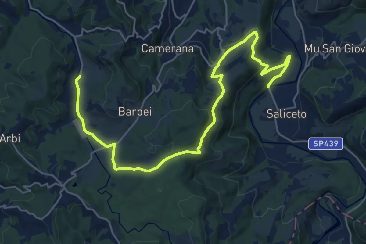
Demanding · Trail
Saliceto, ponte sul fiume Bormida, bivio CNC100, CNC206 – Camerana, rifugio La Pavoncella, bivio CNC202, CNC206
18.3 km · ↑ 451 m · 5 h 17 min · 12 km away
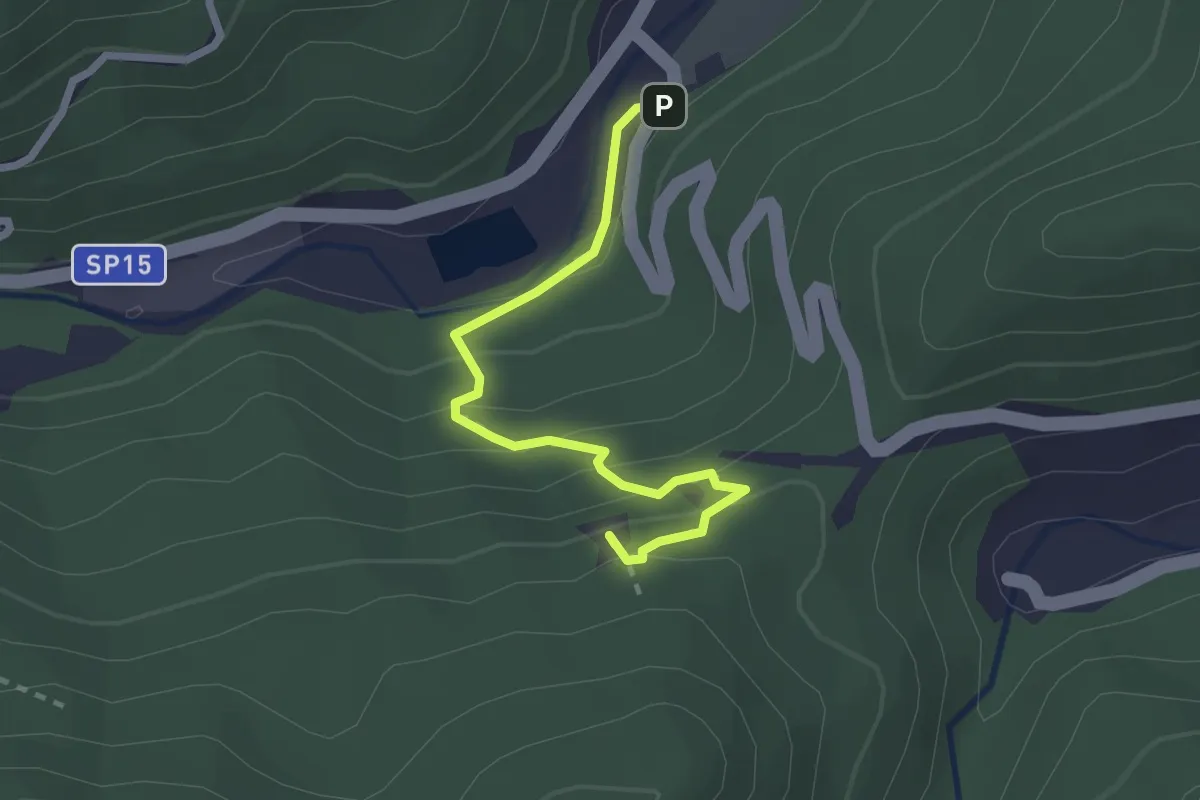
Demanding · Summit
Romana - Rocca Tavana
2.5 km · ↑ 154 m · 56 min · 13 km away
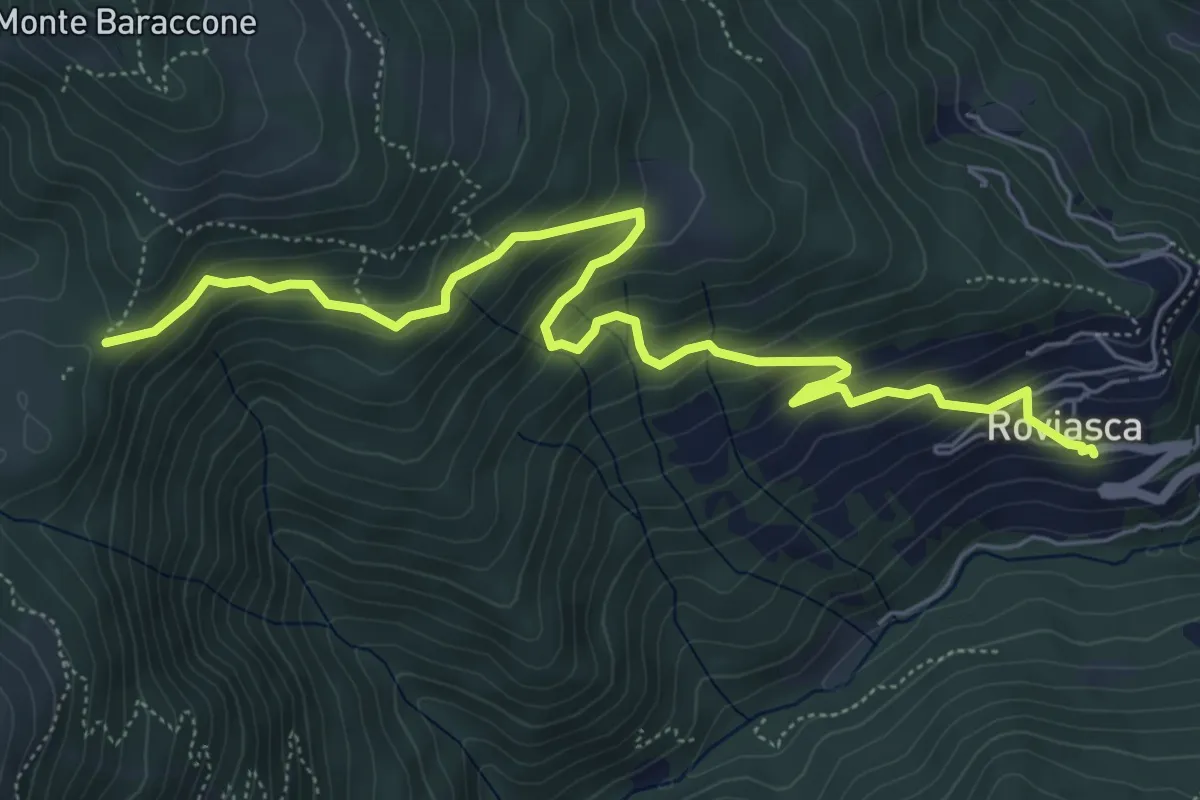
Medium · Trail
Roviasca – Colle del Baraccone
7.2 km · ↑ 459 m · 2 h 42 min · 13 km away