Trails near Camaiore
108 hikes starting within 15 km, nearest first.
Nearest first, page 2 of 3
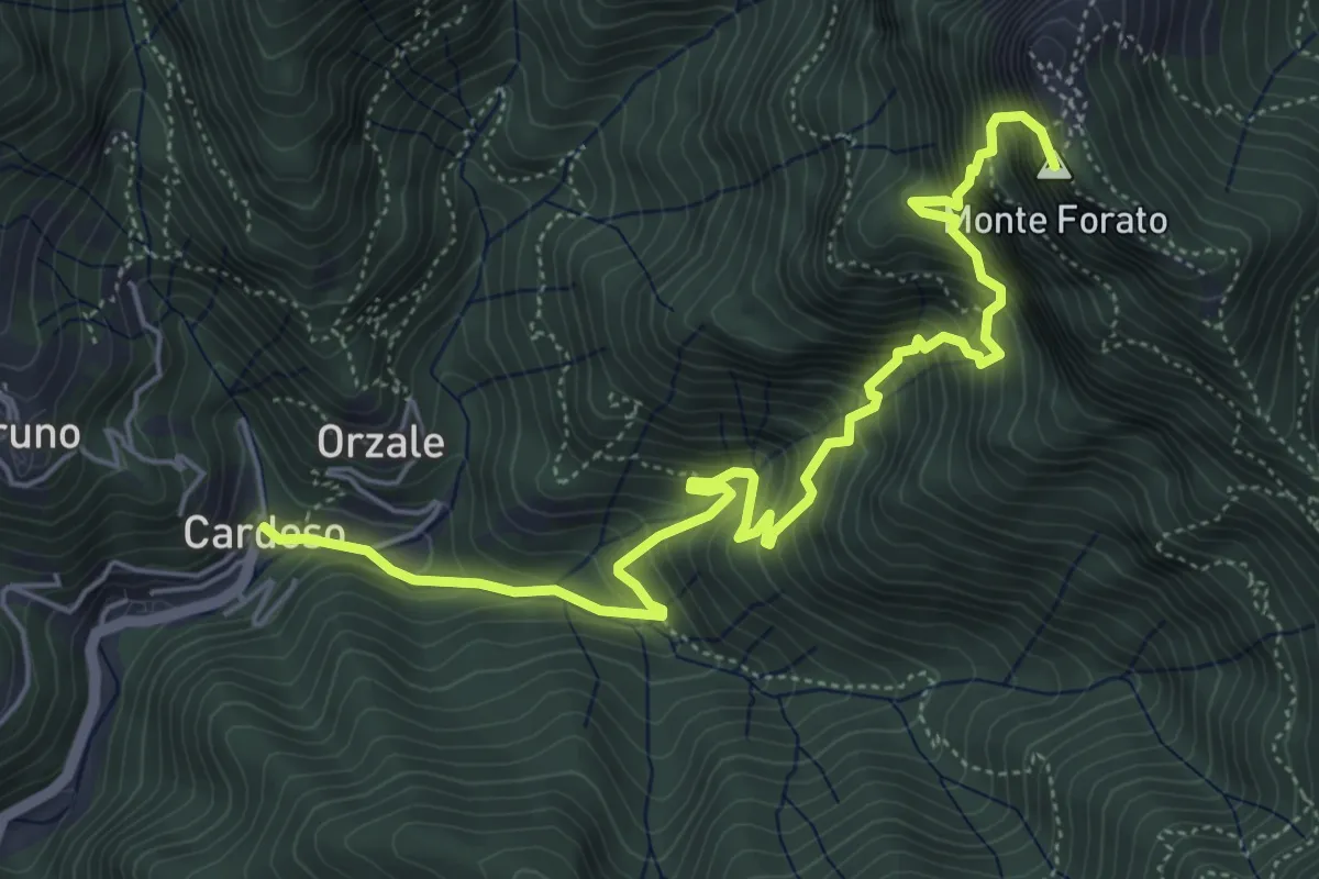
Demanding · Summit
Cardoso – Fornovolasco
6.7 km · ↑ 965 m · 3 h 41 min · 8 km away
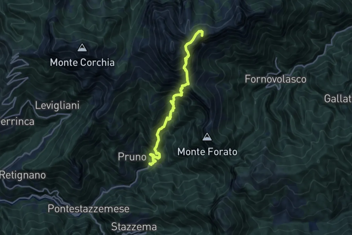
Demanding · Summit
Cardoso – Piglionico
11.5 km · ↑ 1699 m · 6 h 24 min · 8 km away
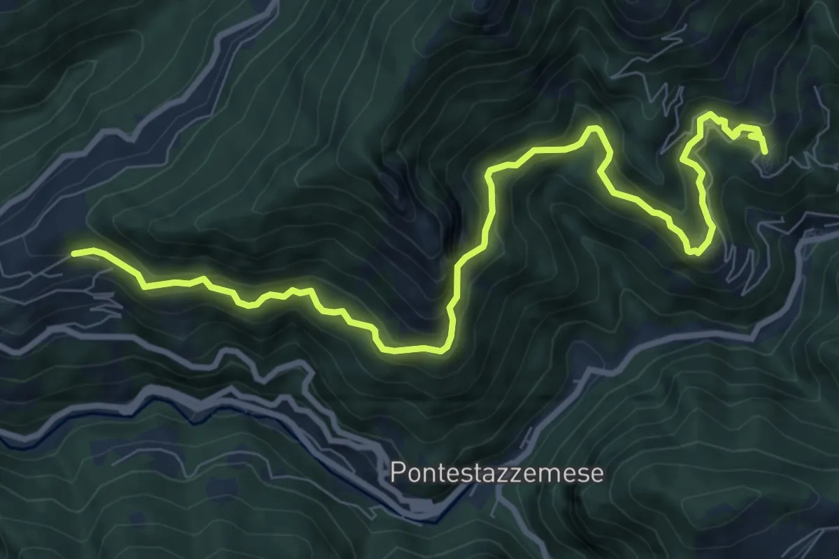
Demanding · Trail
Sentiero Alta Versilia - Tappa 07
10.5 km · ↑ 950 m · 4 h 32 min · 8 km away
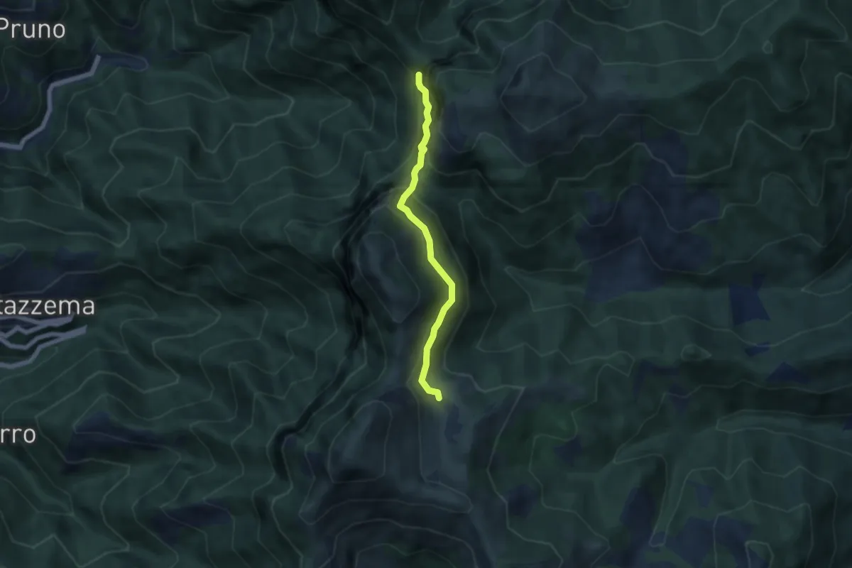
Demanding · Cabin
Rifugio Alto Matanna – Sentiero 6
5.0 km · ↑ 338 m · 1 h 55 min · 8 km away
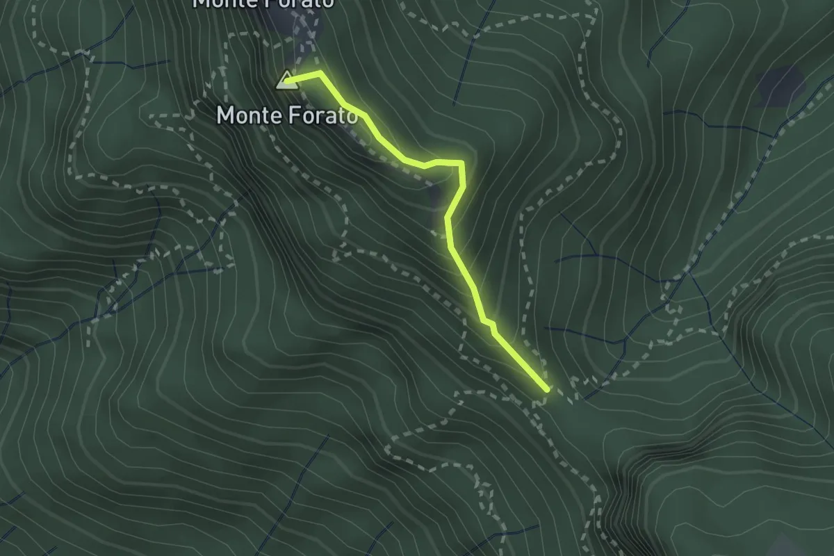
Demanding · Summit
Foce di Petrosciana – Foce di Valli
1.9 km · ↑ 225 m · 56 min · 8 km away
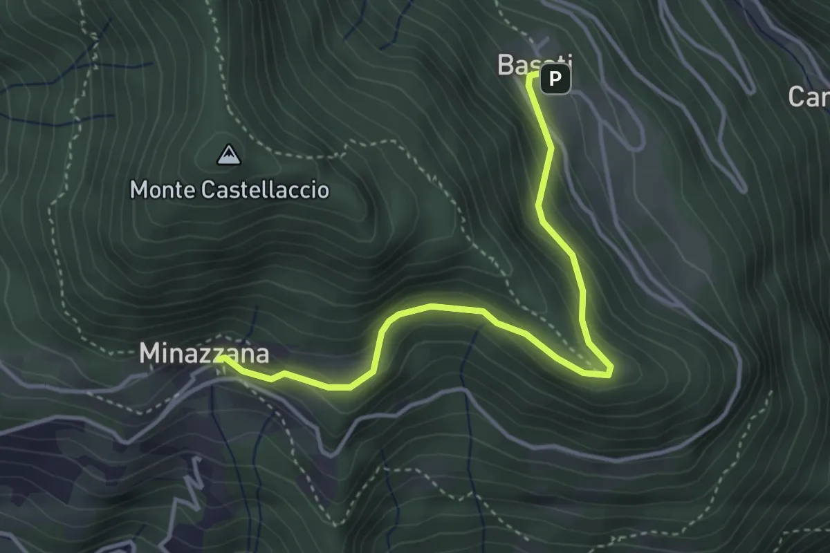
Easy · Trail
Sentiero Alta Versilia - Tappa 03
4.0 km · ↑ 224 m · 1 h 26 min · 9 km away
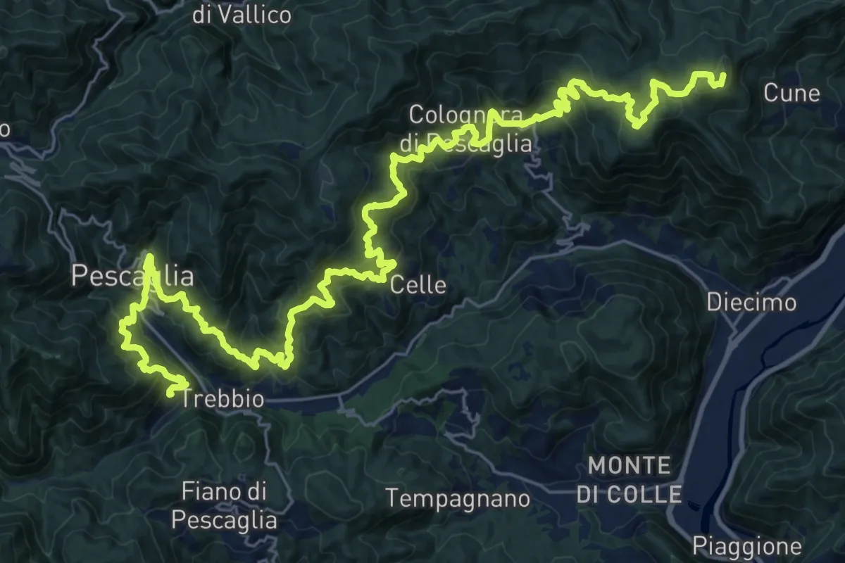
Demanding · Summit
Sentiero delle Colline Lucchesi
38.7 km · ↑ 2597 m · 14 h 45 min · 9 km away
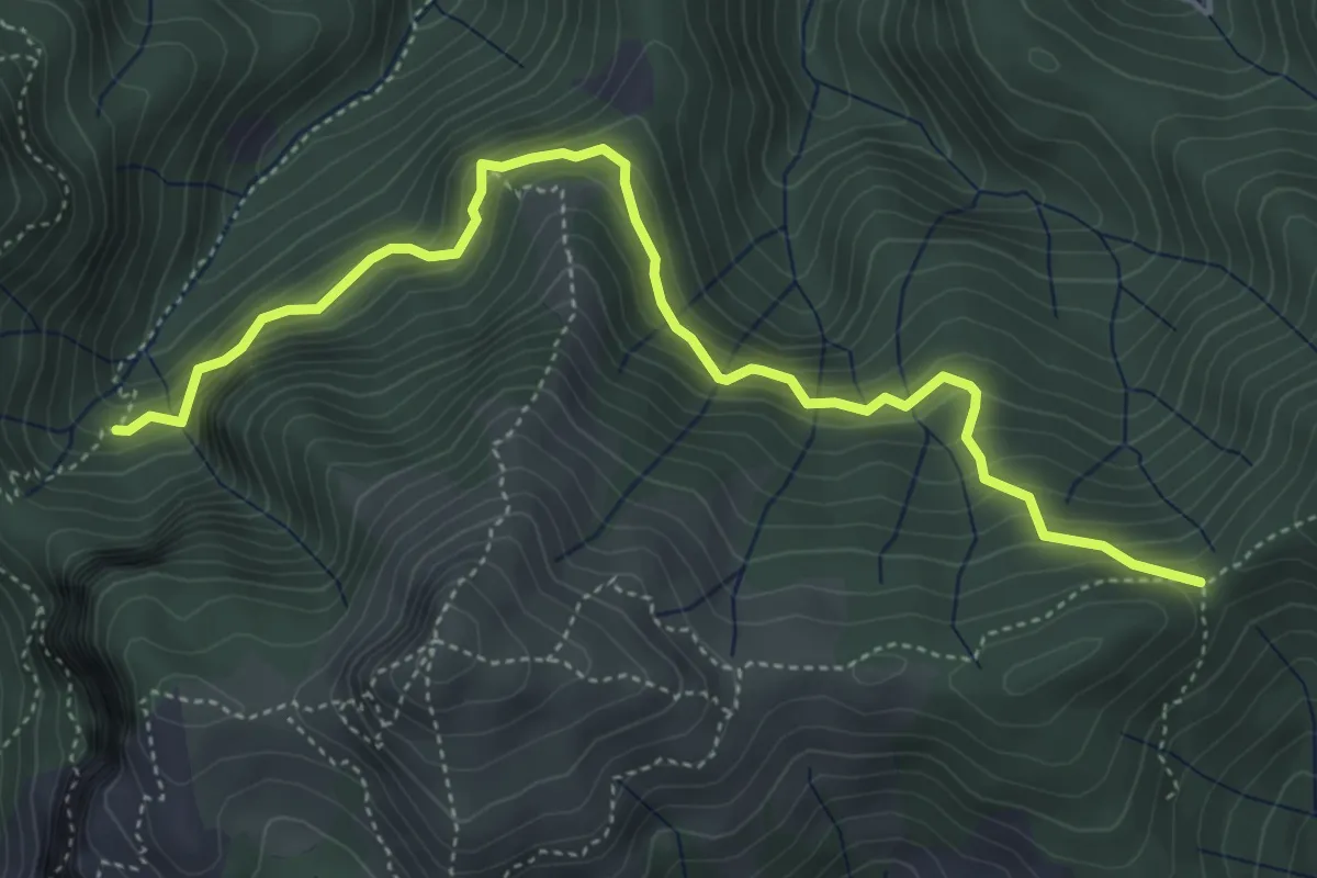
Demanding · Trail
Il Termine – innesto Sentiero 6
5.5 km · ↑ 583 m · 2 h 33 min · 9 km away
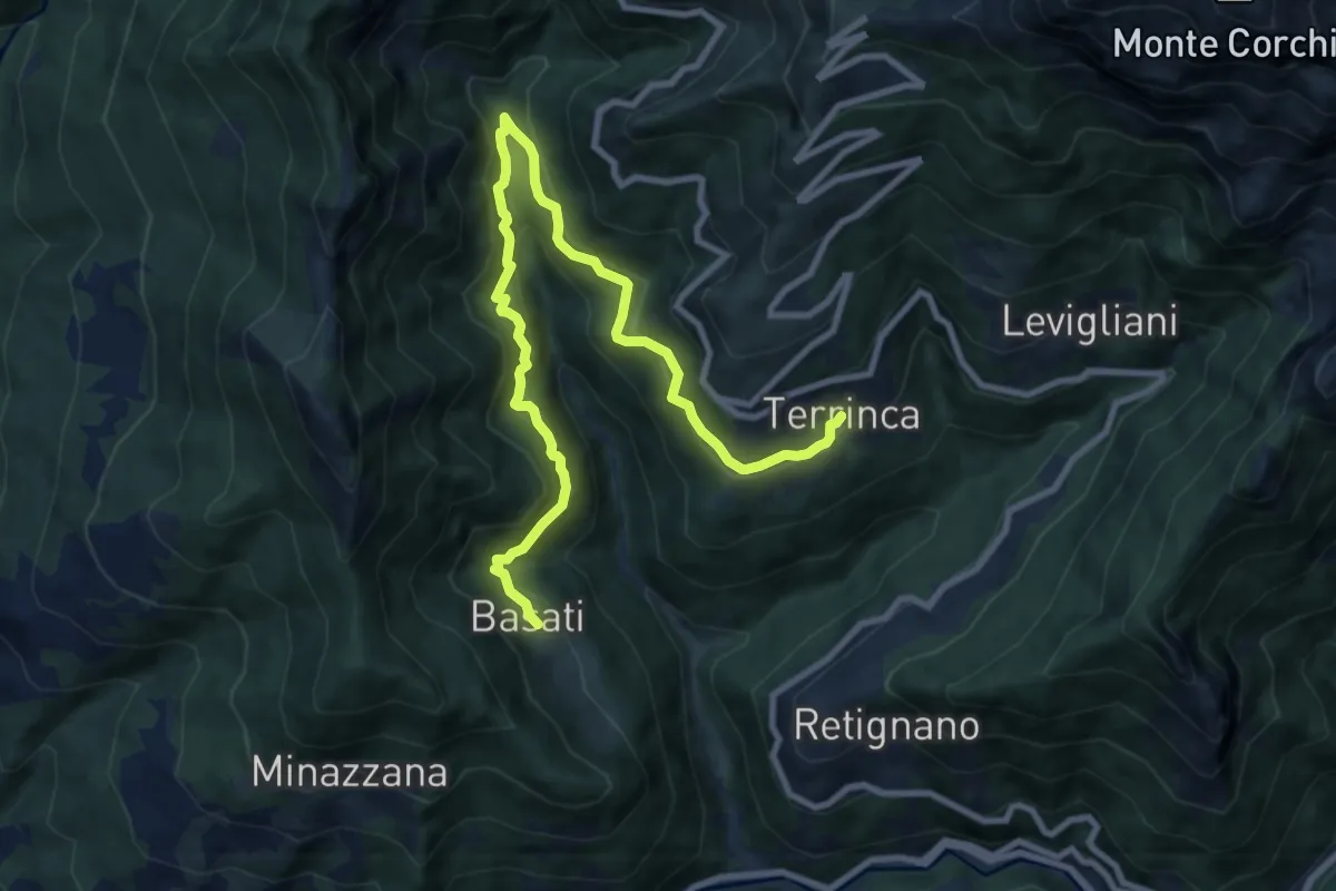
Medium · Trail
Sentiero Alta Versilia - Tappa 04
11.4 km · ↑ 758 m · 4 h 20 min · 9 km away
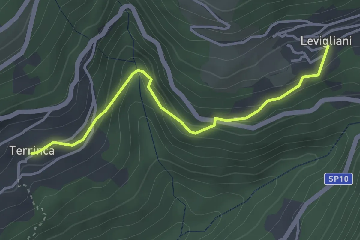
Easy · Trail
Sentiero Alta Versilia - Tappa 05
3.2 km · ↑ 205 m · 1 h 12 min · 9 km away
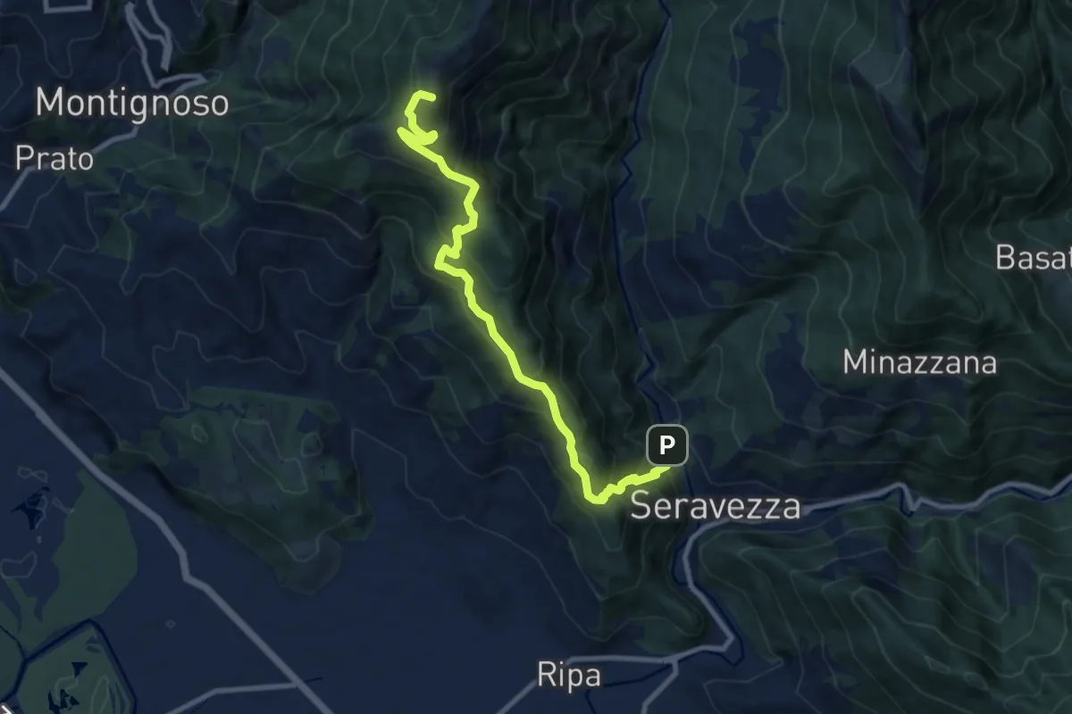
Demanding · Summit
Seravezza – Pasquilio
10.3 km · ↑ 858 m · 4 h 18 min · 9 km away
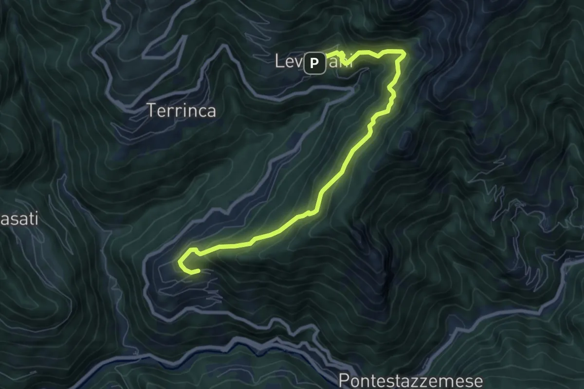
Demanding · Trail
Sentiero Alta Versilia - Tappa 06
8.4 km · ↑ 831 m · 3 h 47 min · 9 km away
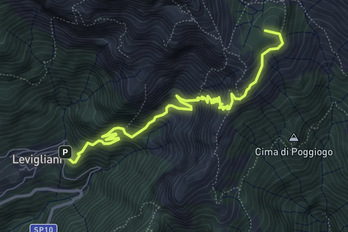
Demanding · Summit
Levigliani – Foce di Mosceta
7.5 km · ↑ 977 m · 3 h 53 min · 9 km away
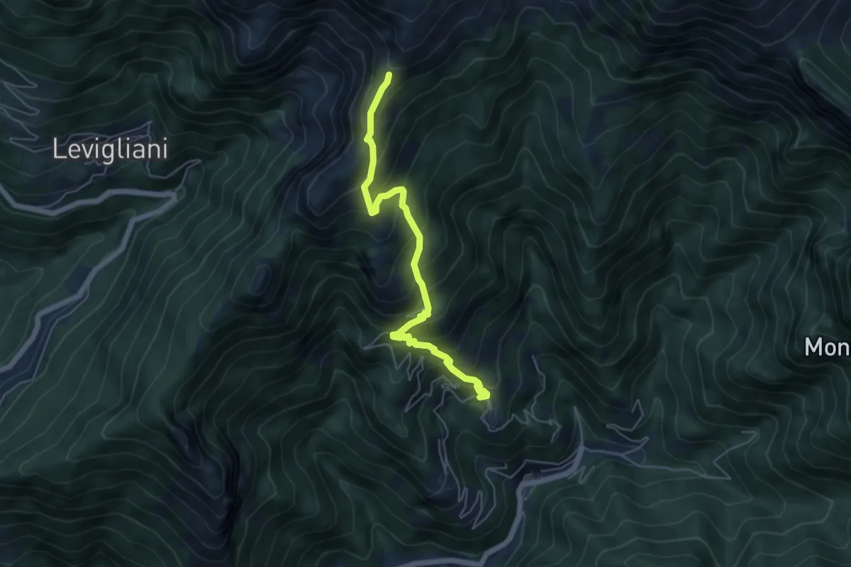
Medium · Trail
Pruno – Passo dell'Alpino
5.5 km · ↑ 611 m · 2 h 37 min · 10 km away
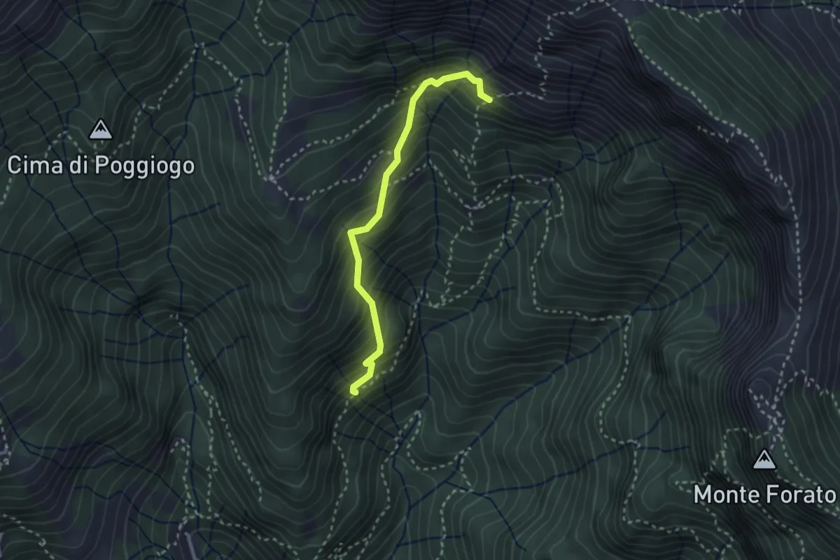
Medium · Trail
Sentiero di Pacì
2.8 km · ↑ 431 m · 1 h 35 min · 10 km away
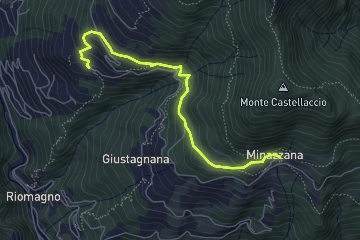
Easy · Trail
Sentiero Alta Versilia - Tappa 02
5.2 km · ↑ 291 m · 1 h 52 min · 10 km away
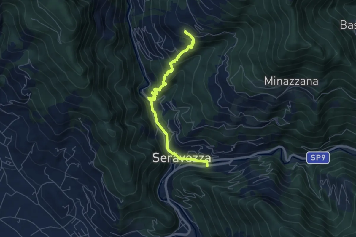
Medium · Trail
Sentiero Alta Versilia - Tappa 01
6.0 km · ↑ 338 m · 2 h 9 min · 10 km away
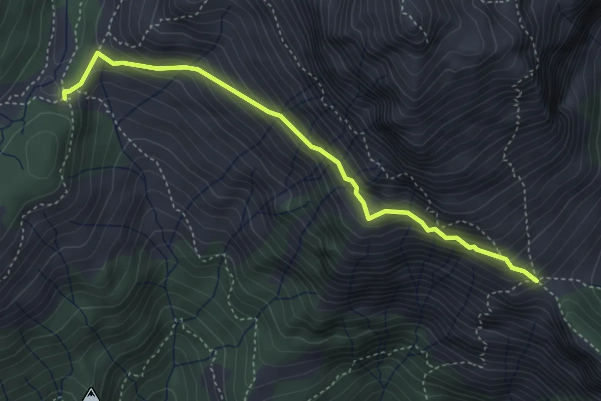
Expert · Trail
Foce di Mosceta – Foce di Valli
4.1 km · ↑ 386 m · 1 h 49 min · 10 km away
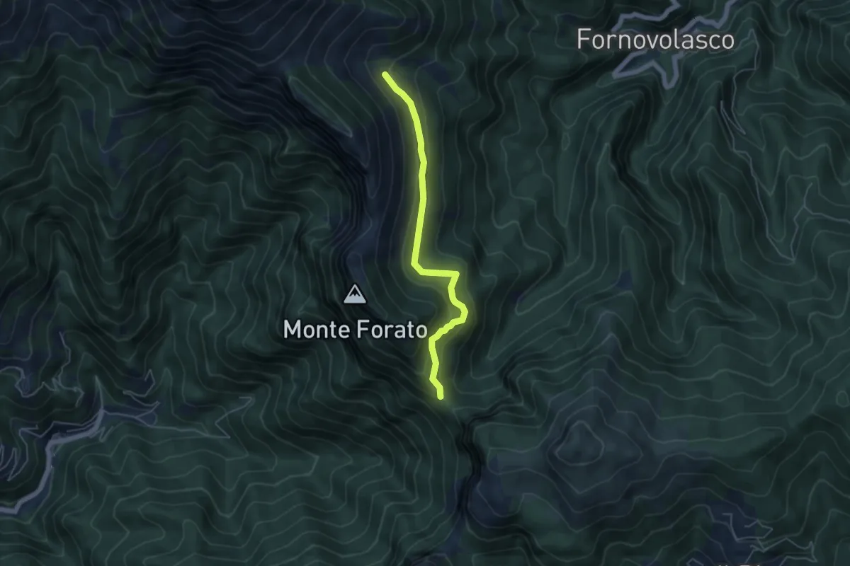
Medium · Trail
Foce di Petrosciana – Innesto sentiero CAI 130
4.8 km · ↑ 280 m · 1 h 45 min · 10 km away
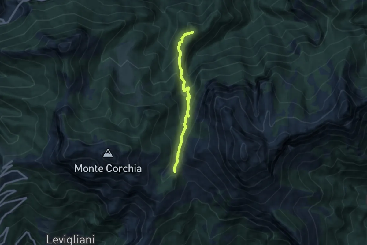
Medium · Summit
Foce di Mosceta – Isola Santa
6.0 km · ↑ 470 m · 2 h 26 min · 11 km away
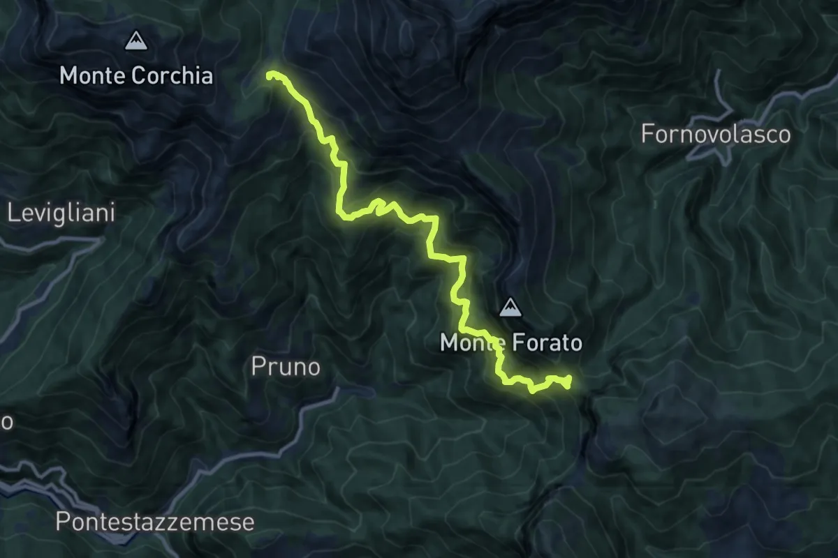
Demanding · Trail
Foce di Mosceta – Foce di Petrosciana
11.8 km · ↑ 1248 m · 5 h 29 min · 11 km away
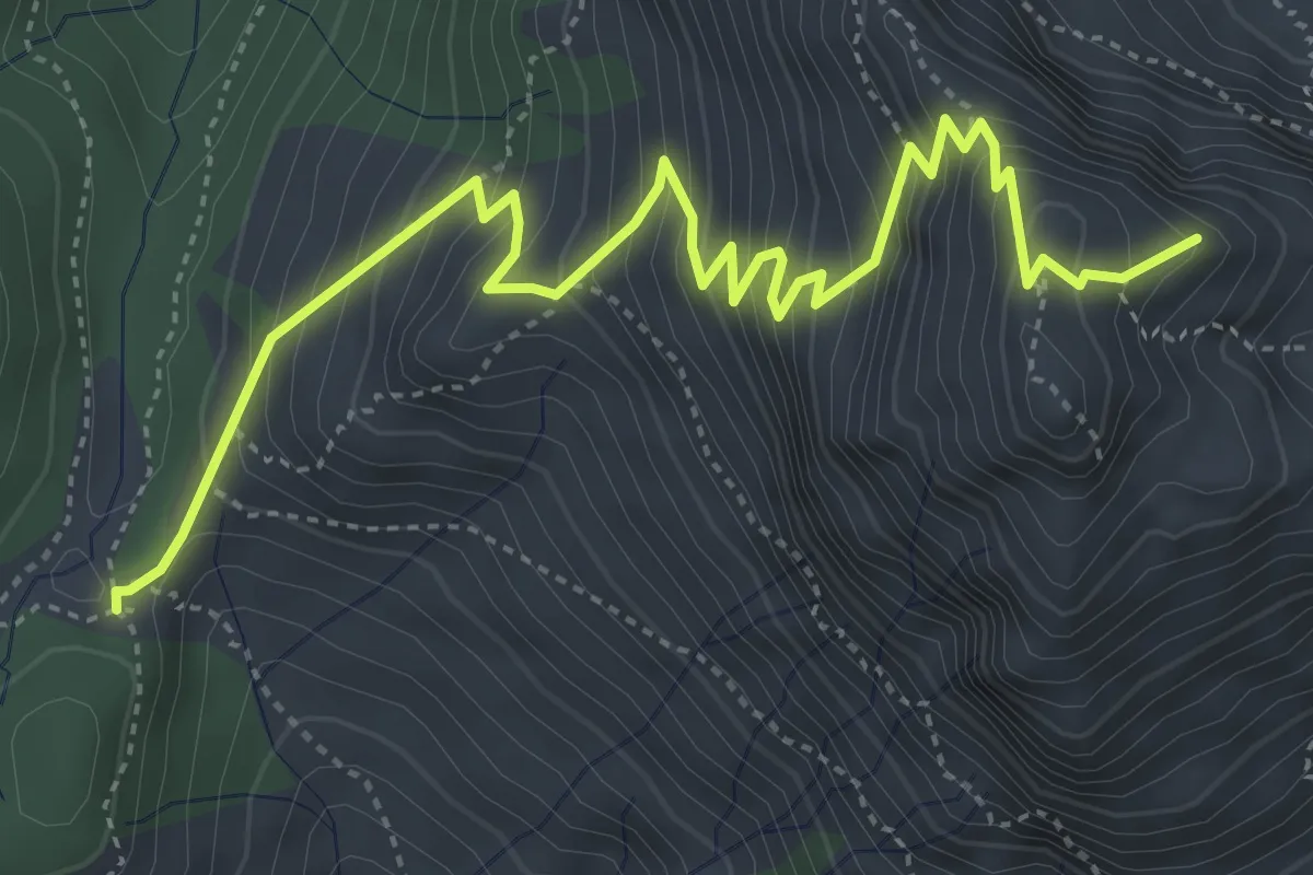
Medium · Summit
Foce di Mosceta – Focetta del Puntone
5.8 km · ↑ 728 m · 2 h 57 min · 11 km away
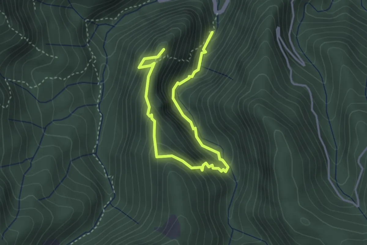
Medium · Summit
Anello del Battiferro
4.6 km · ↑ 392 m · 1 h 56 min · 11 km away
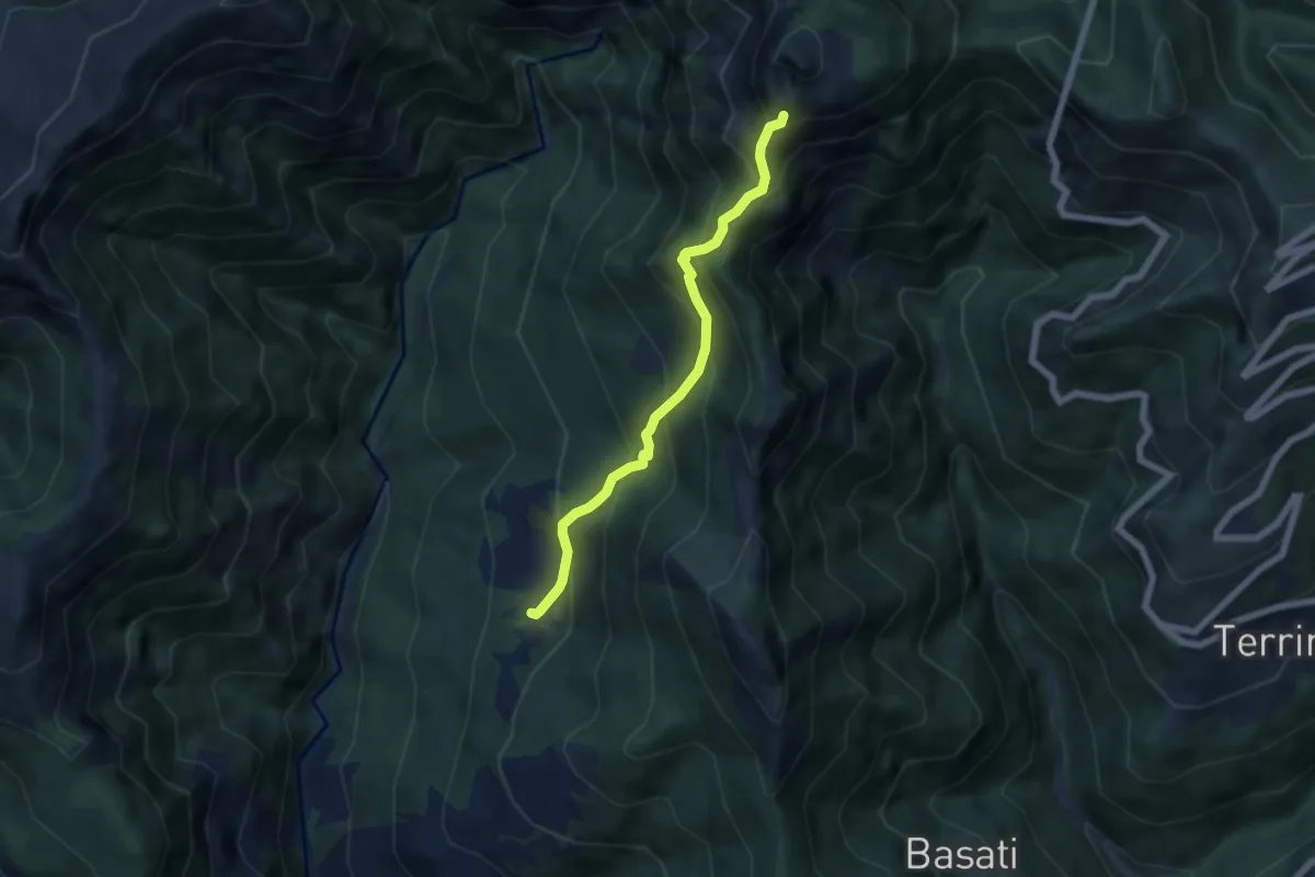
Medium · Trail
Azzano – Cava delle Cervaiole
5.7 km · ↑ 701 m · 2 h 52 min · 11 km away
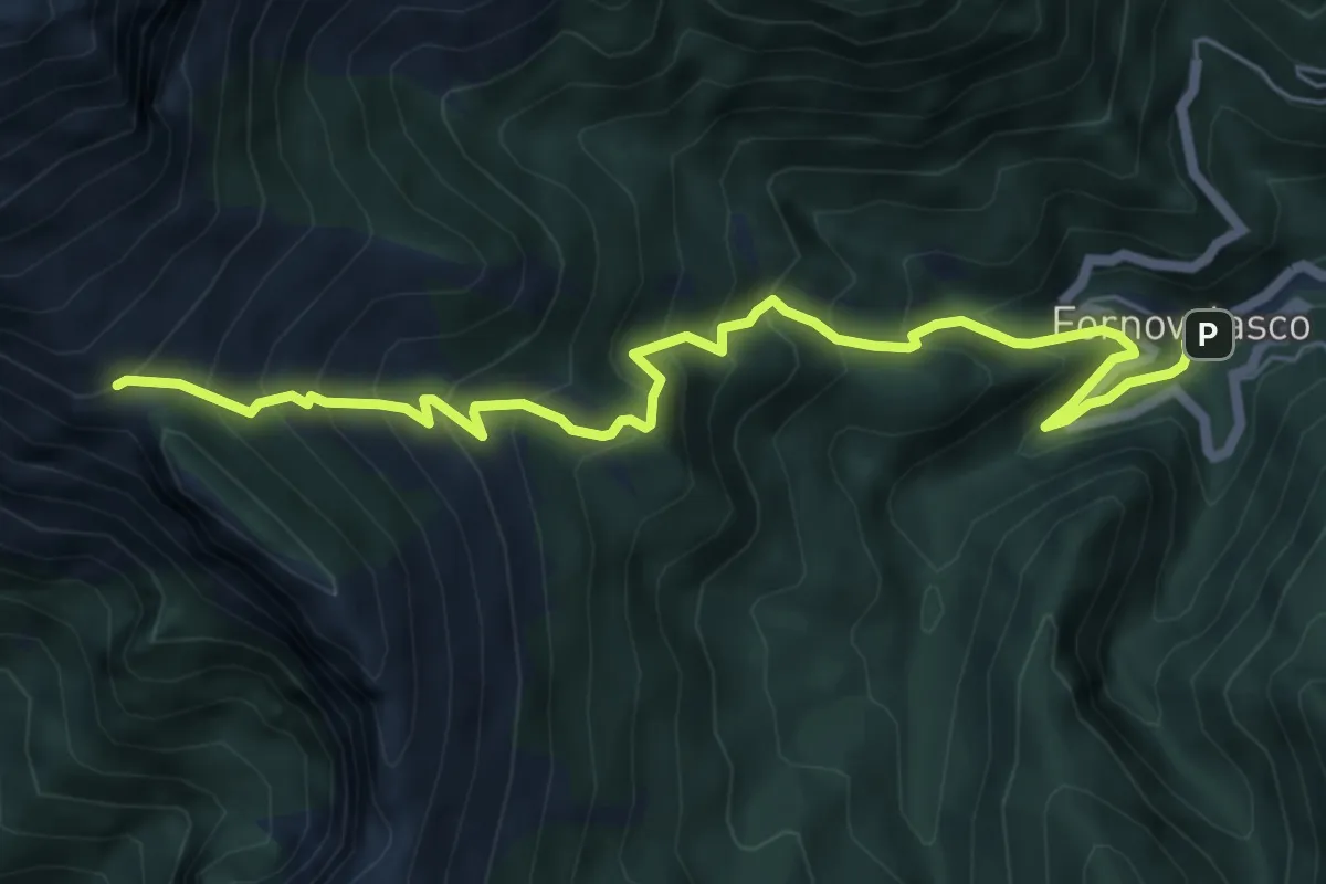
Medium · Trail
Fornovolasco – Foce di Valli
7.2 km · ↑ 800 m · 3 h 26 min · 11 km away
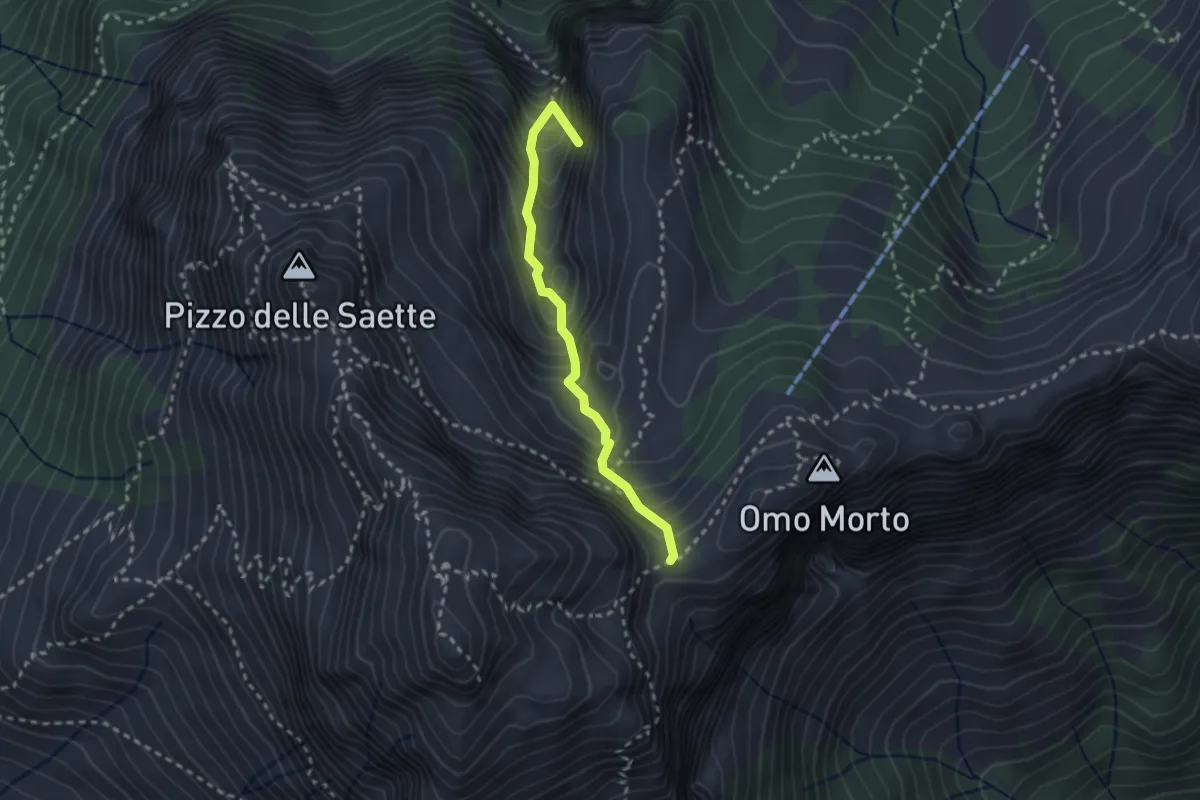
Demanding · Summit
Percorso 127 – Focetta del Puntone
2.5 km · ↑ 345 m · 1 h 20 min · 11 km away
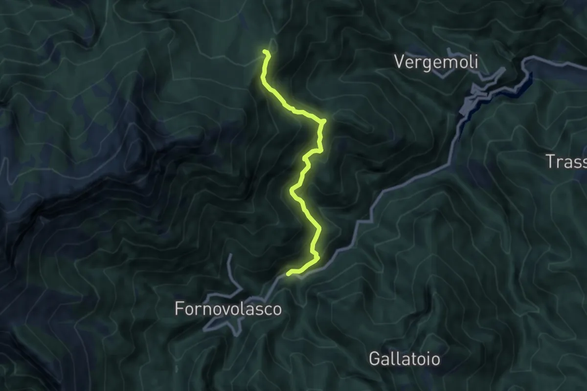
Medium · Trail
Boscaccio (Fornovolasco) – Le Rocchette
6.7 km · ↑ 647 m · 2 h 59 min · 11 km away
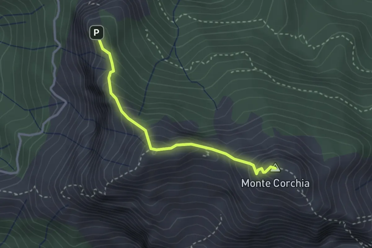
Demanding · Summit
Cresta del Monte Corchia
2.6 km · ↑ 263 m · 1 h 12 min · 12 km away
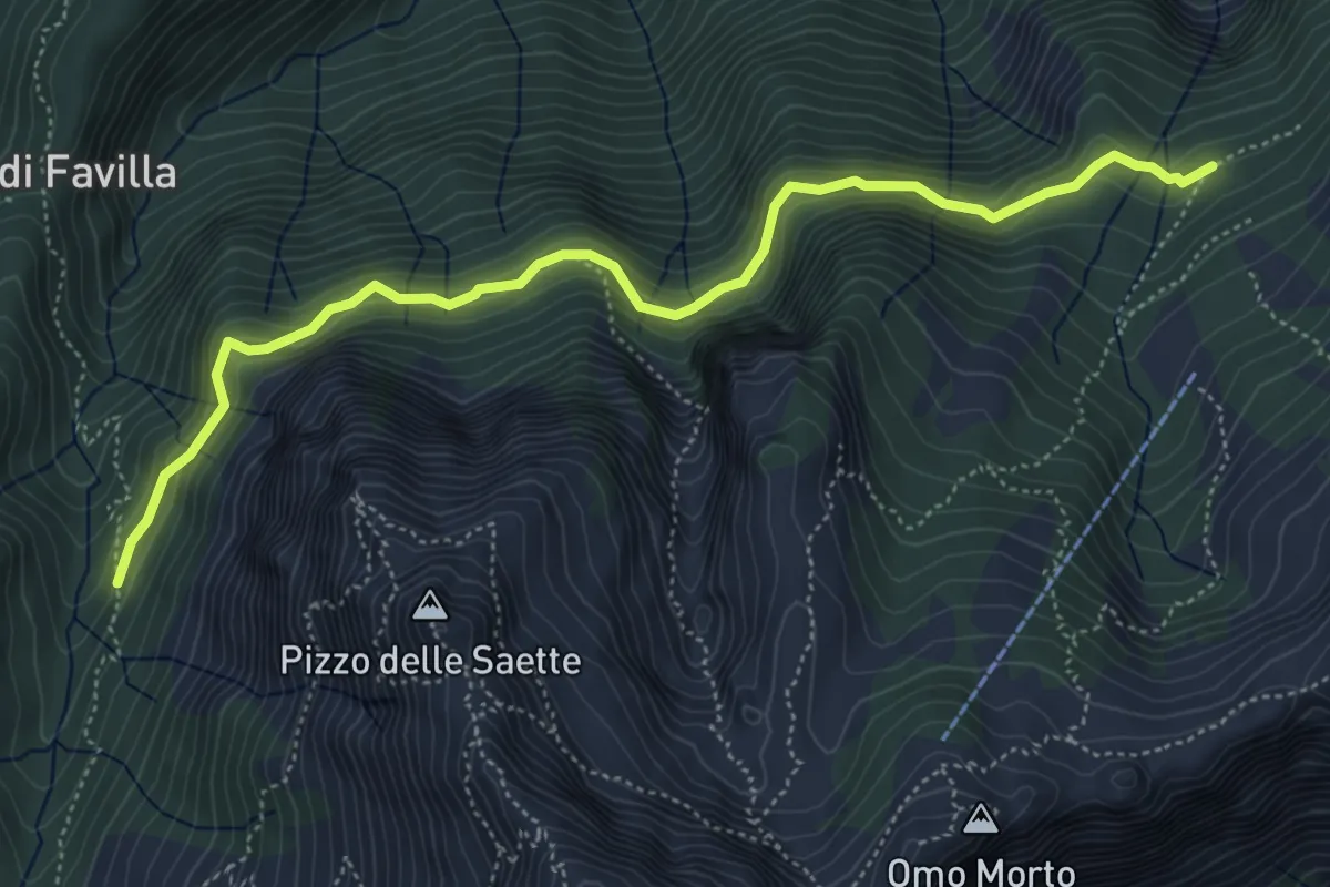
Medium · Cabin
Percorso 7 – Percorso 9
5.9 km · ↑ 428 m · 2 h 19 min · 12 km away
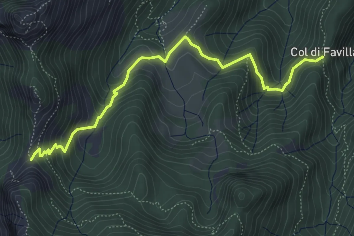
Medium · Trail
Fociomboli – Col di Favilla
6.3 km · ↑ 461 m · 2 h 29 min · 12 km away
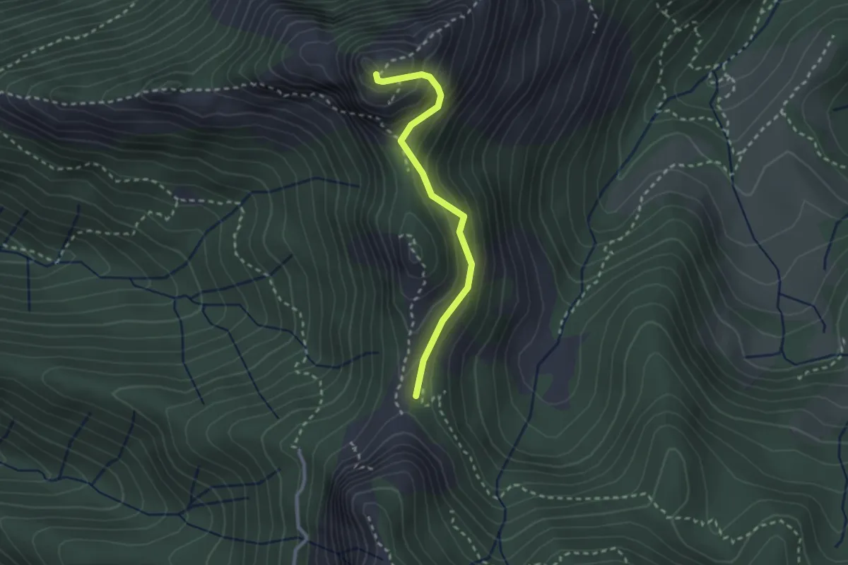
Demanding · Summit
Via Normale Monte Freddone
2.5 km · ↑ 199 m · 1 h 1 min · 12 km away
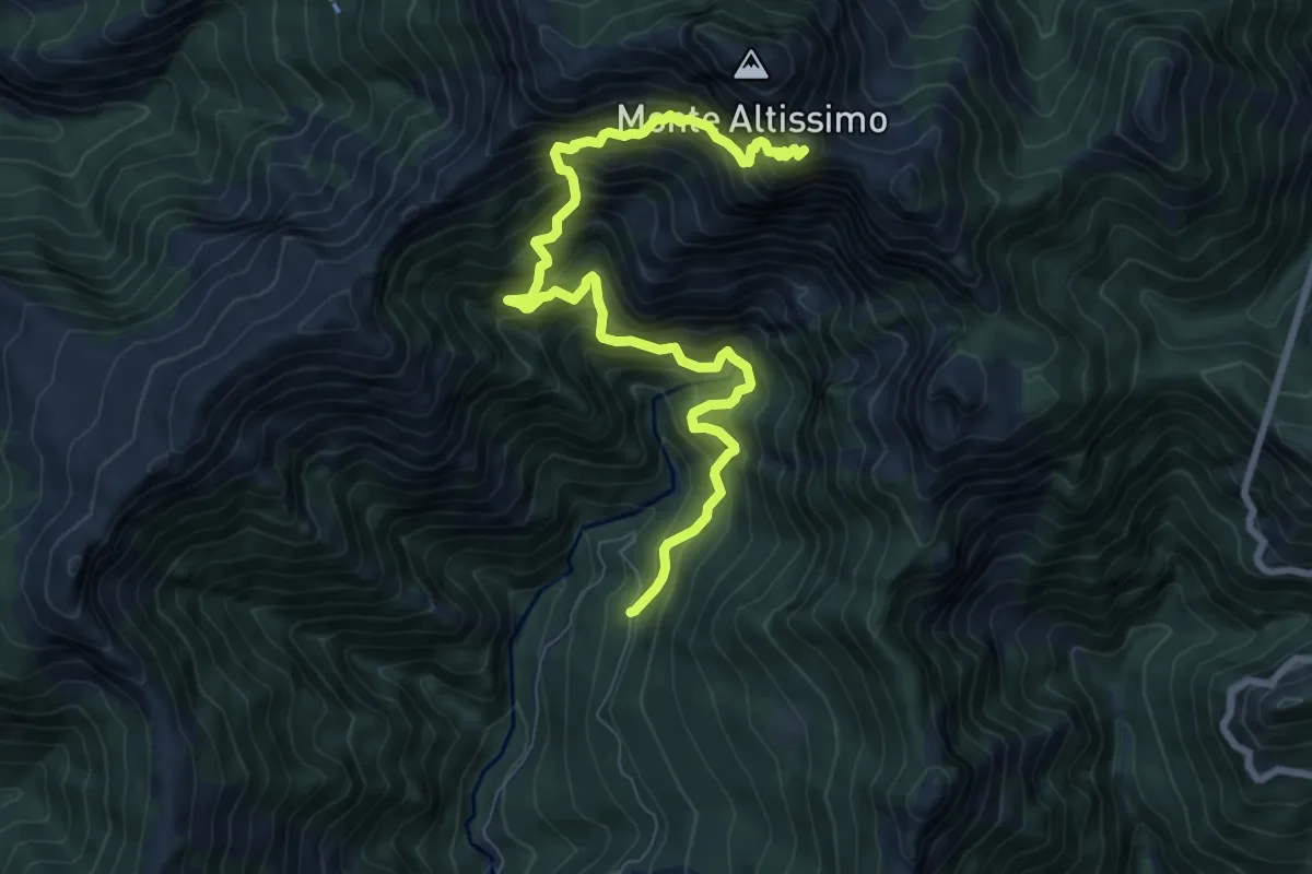
Demanding · Trail
Azzano (Cancello Cava Henreux) – Foce dell'Onda (Monte Altissimo)
9.6 km · ↑ 1647 m · 5 h 50 min · 12 km away
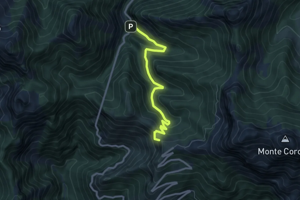
Medium · Summit
Ponte dei Merletti – Terrinca
6.4 km · ↑ 404 m · 2 h 24 min · 13 km away
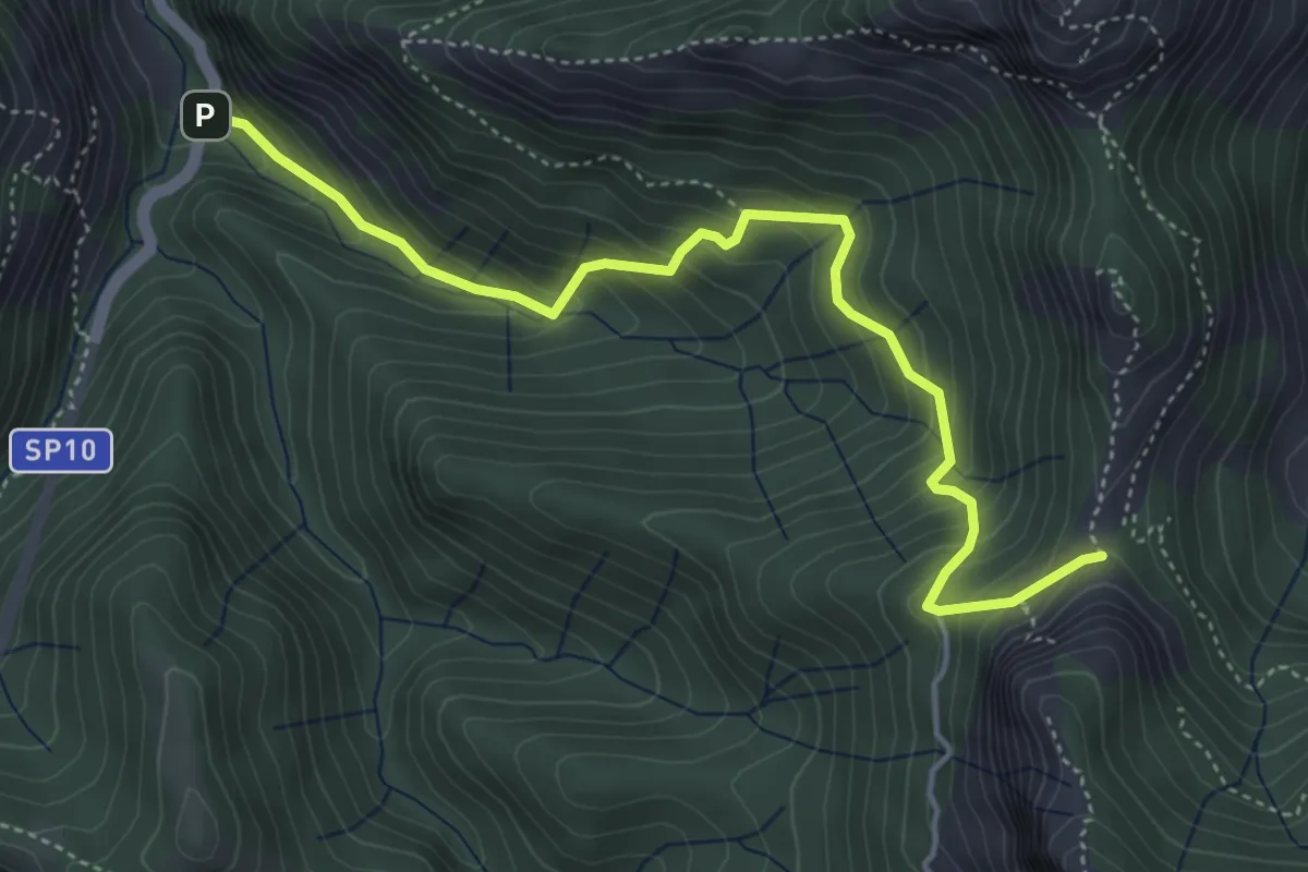
Medium · Trail
Ponte Merletti – Fociomboli
5.1 km · ↑ 497 m · 2 h 17 min · 13 km away
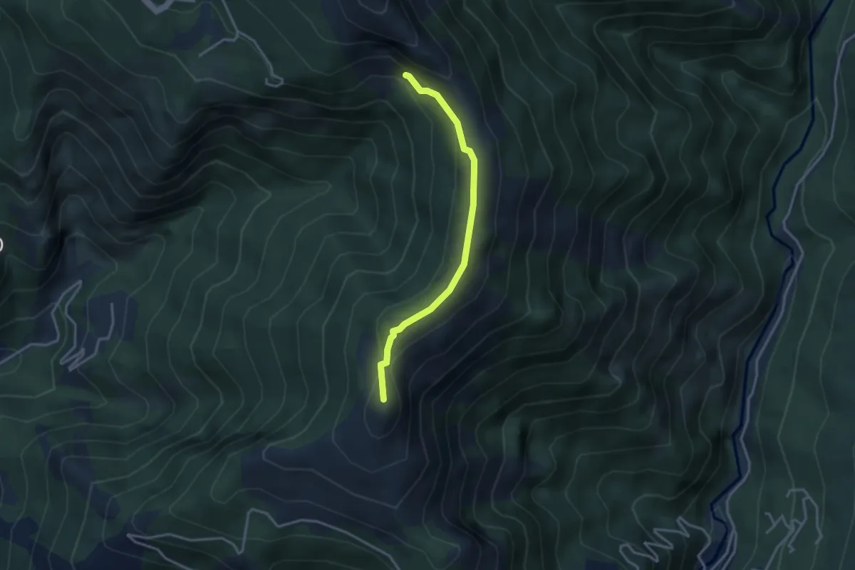
Medium · Summit
El Loco de la Santa – Bivio ravaneto
3.1 km · ↑ 103 m · 57 min · 13 km away
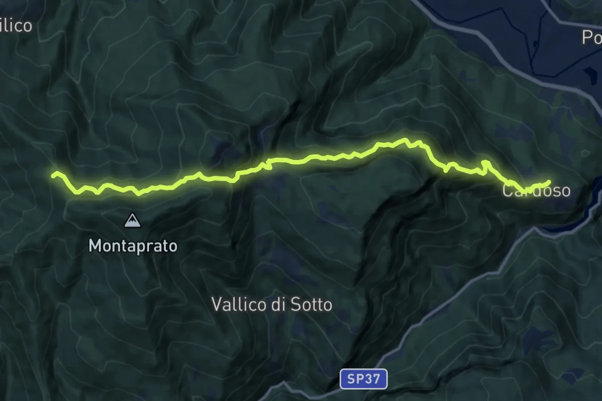
Demanding · Trail
Cardoso di Garfagnana – Foce Pompanella
13.6 km · ↑ 1423 m · 6 h 18 min · 13 km away
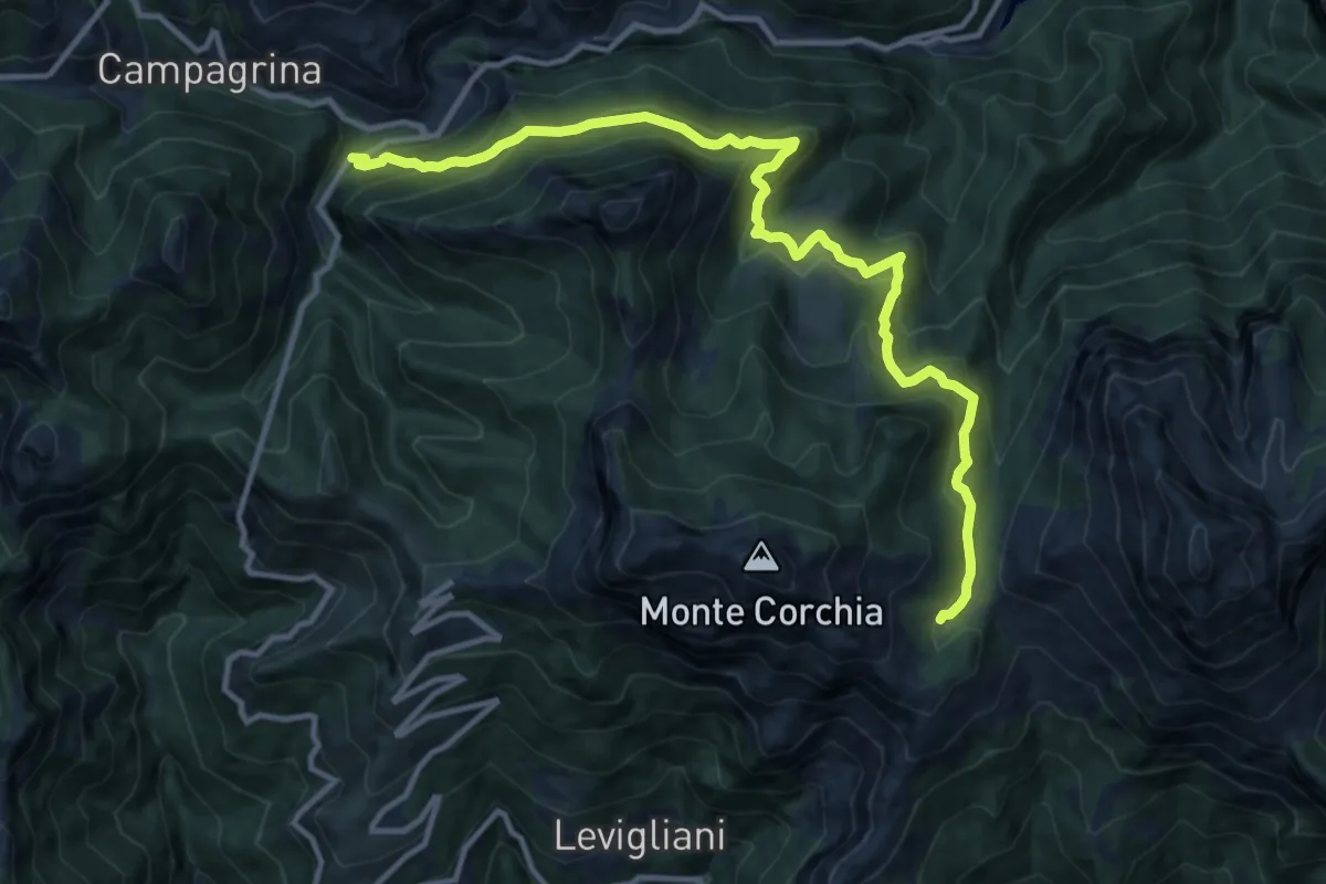
Demanding · Cabin
Tre Fiumi – Rifugio Giuseppe Del Freo
13.7 km · ↑ 1047 m · 5 h 31 min · 13 km away
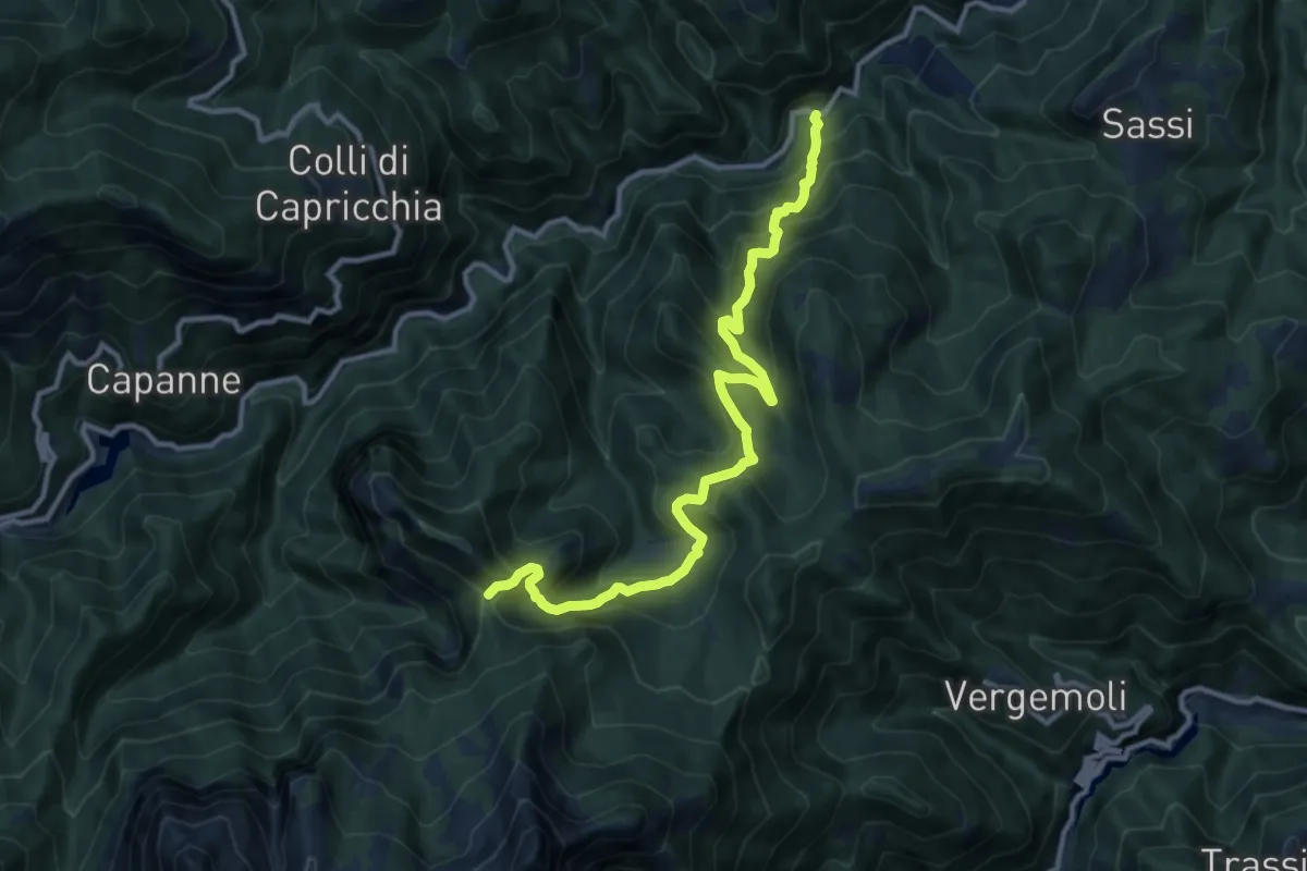
Demanding · Trail
Mulino al Riccio – Colle Panestra
12.3 km · ↑ 979 m · 5 h 1 min · 14 km away
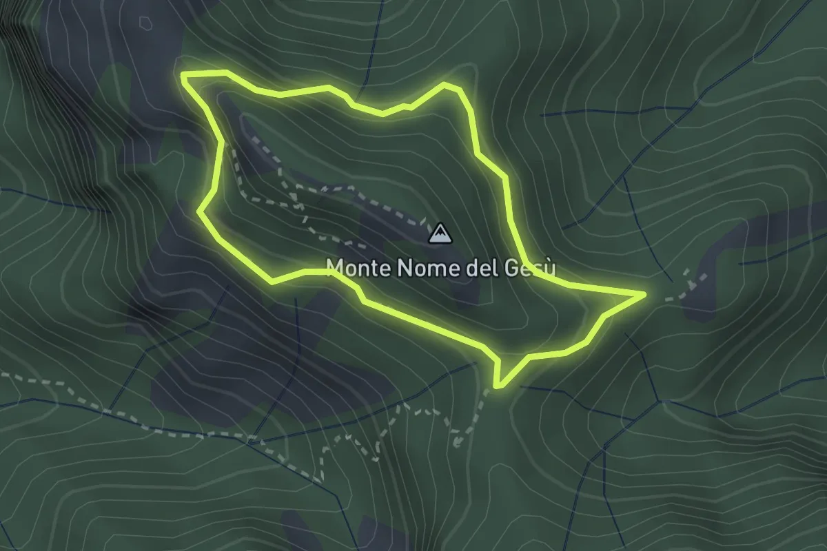
Medium · Summit
Fosco Maraini 4 - Tignoso Rovaio
2.5 km · ↑ 192 m · 1 h 2 min · 14 km away
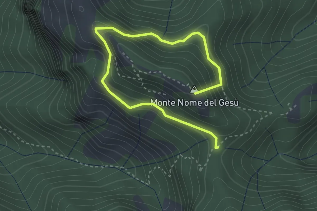
Medium · Summit
Sentiero della Libertà
3.9 km · ↑ 368 m · 1 h 43 min · 14 km away
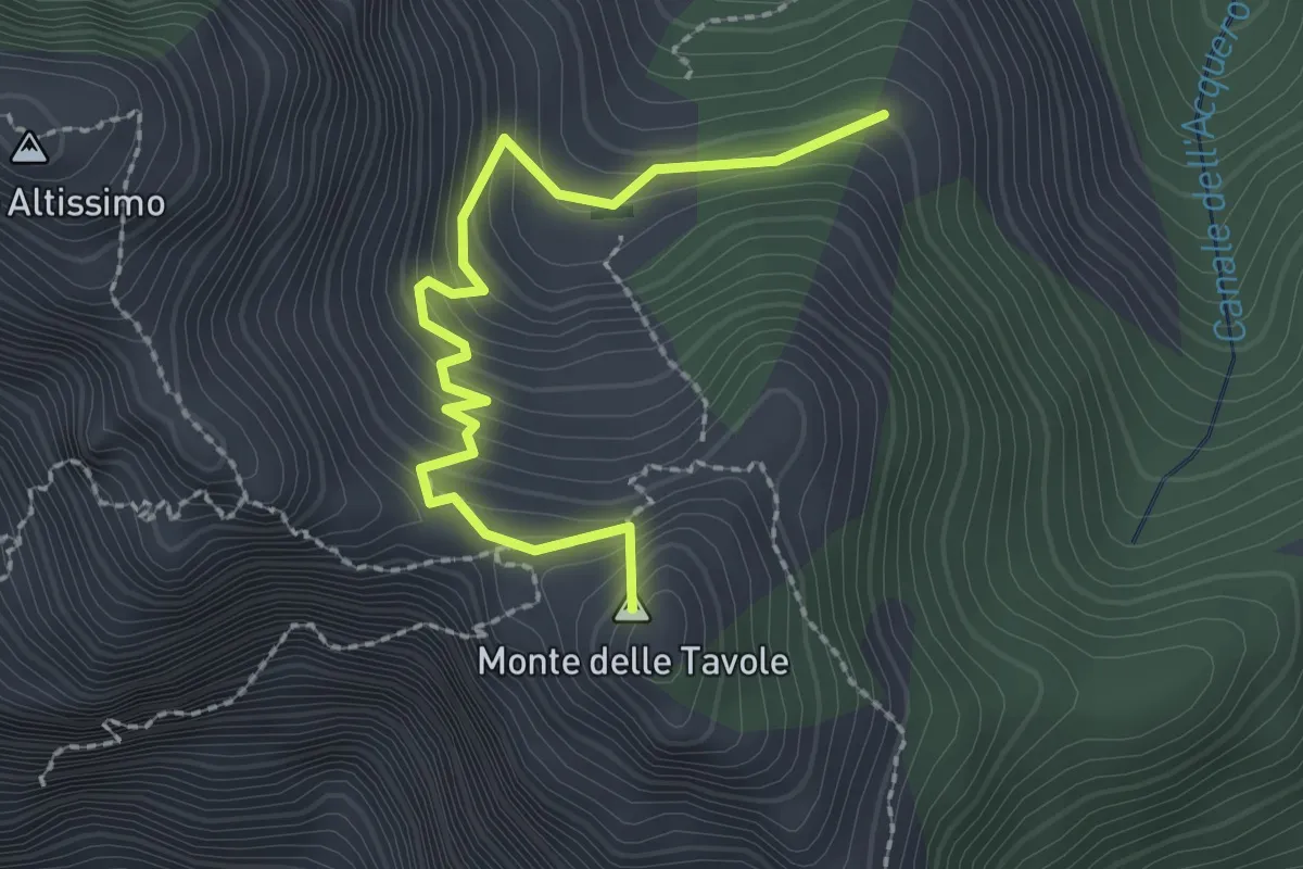
Demanding · Summit
Cave Cervaiole – Cava Fondone
2.5 km · ↑ 235 m · 1 h 6 min · 14 km away
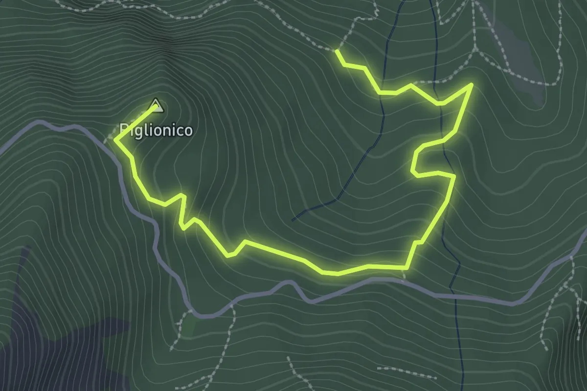
Medium · Summit
Fosco Maraini 5 - Lo specchio-cellulare
3.9 km · ↑ 306 m · 1 h 35 min · 14 km away
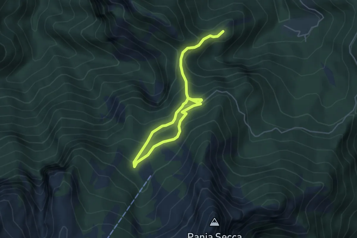
Medium · Trail
Fosco Maraini 6 - Lo sguardo del miramondo
6.1 km · ↑ 514 m · 2 h 33 min · 14 km away
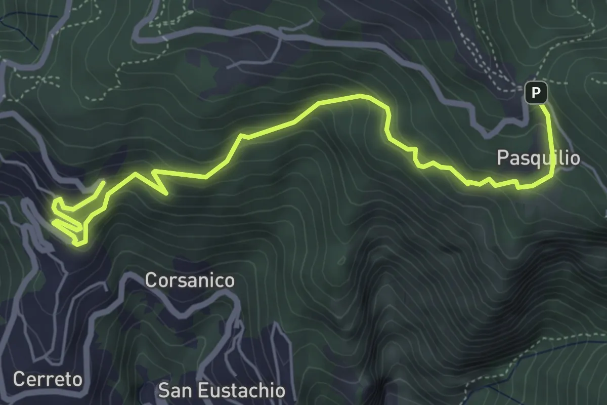
Medium · Trail
Via delle Fonti 12 - Vicinale della Pianaccia
6.6 km · ↑ 485 m · 2 h 36 min · 14 km away
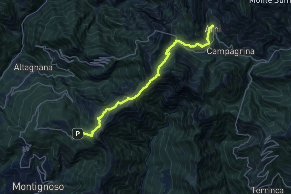
Demanding · Trail
Pasquilio – Arni
15.3 km · ↑ 1323 m · 6 h 29 min · 14 km away
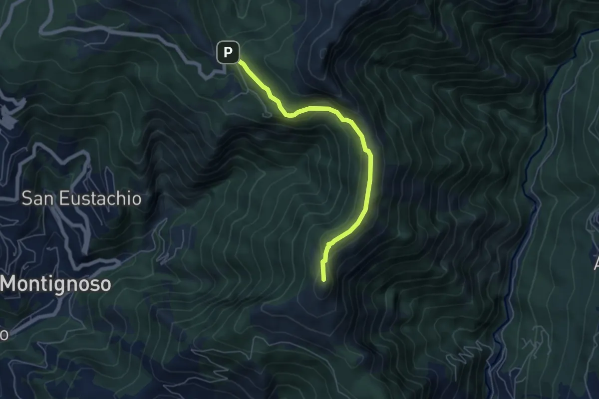
Medium · Summit
Via delle Fonti 4 - Comunale di Col di Melo
5.2 km · ↑ 175 m · 1 h 36 min · 14 km away
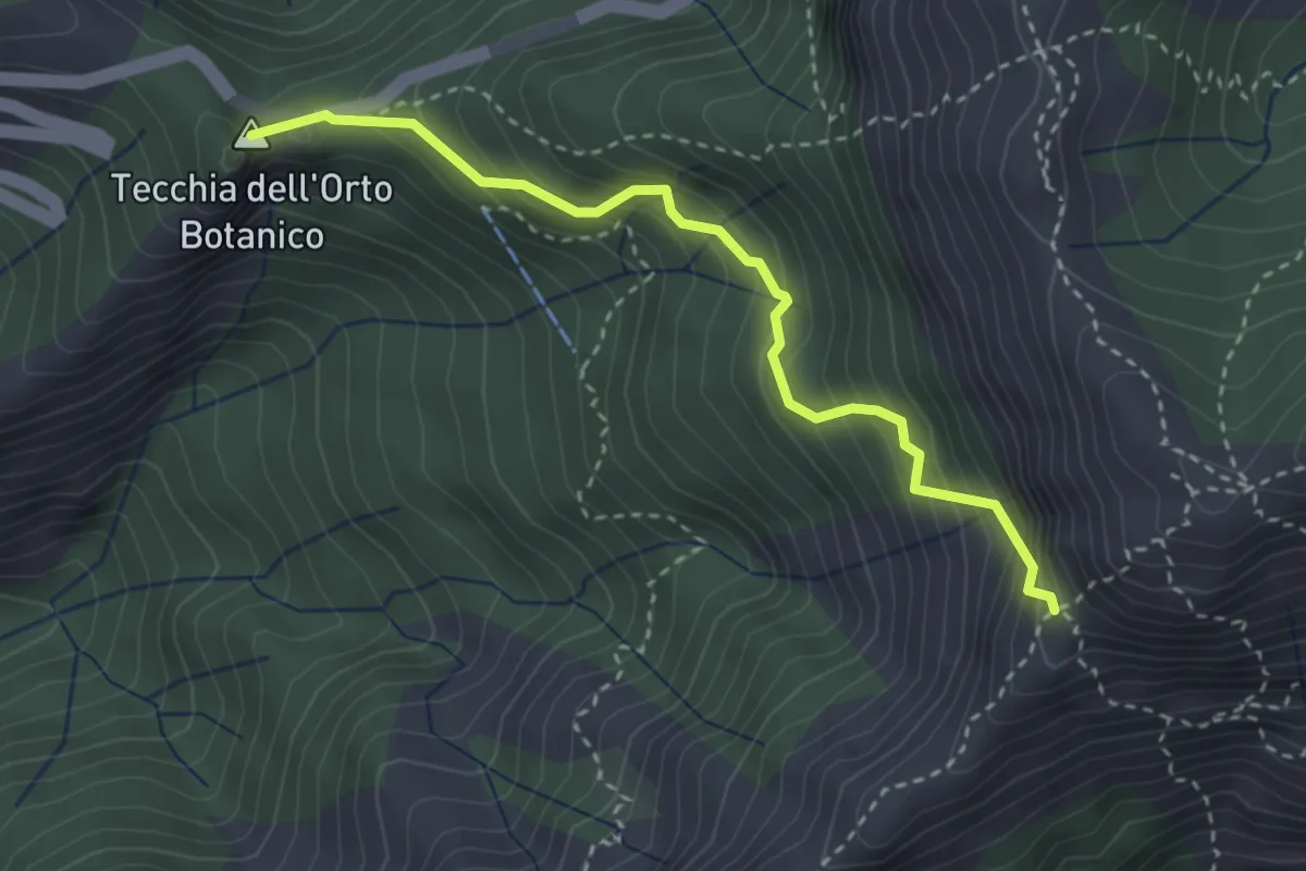
Medium · Summit
Colle della Tecchia – Passo della Greppia
3.3 km · ↑ 414 m · 1 h 40 min · 14 km away
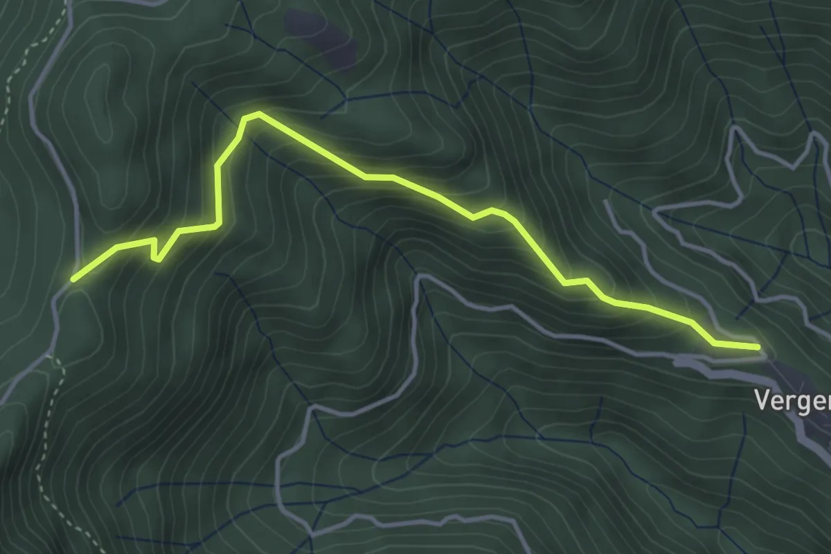
Medium · Trail
Vergemoli – Le Rocchette (strada del Piglionico)
4.1 km · ↑ 376 m · 1 h 48 min · 14 km away