Trails near Campi Bisenzio
120 hikes starting within 15 km, nearest first.
Nearest first, page 2 of 3
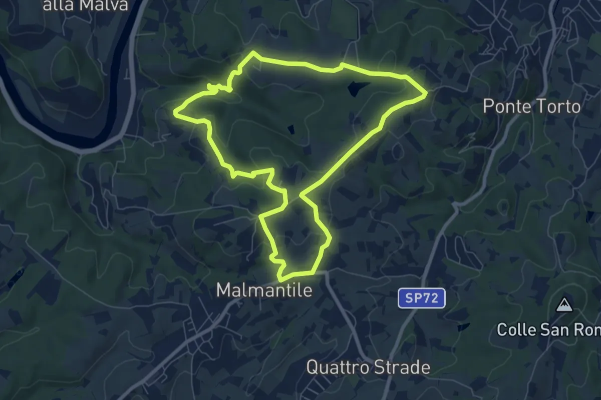
Easy · Summit
Anello di Lecceto
7.5 km · ↑ 199 m · 2 h 18 min · 10 km away
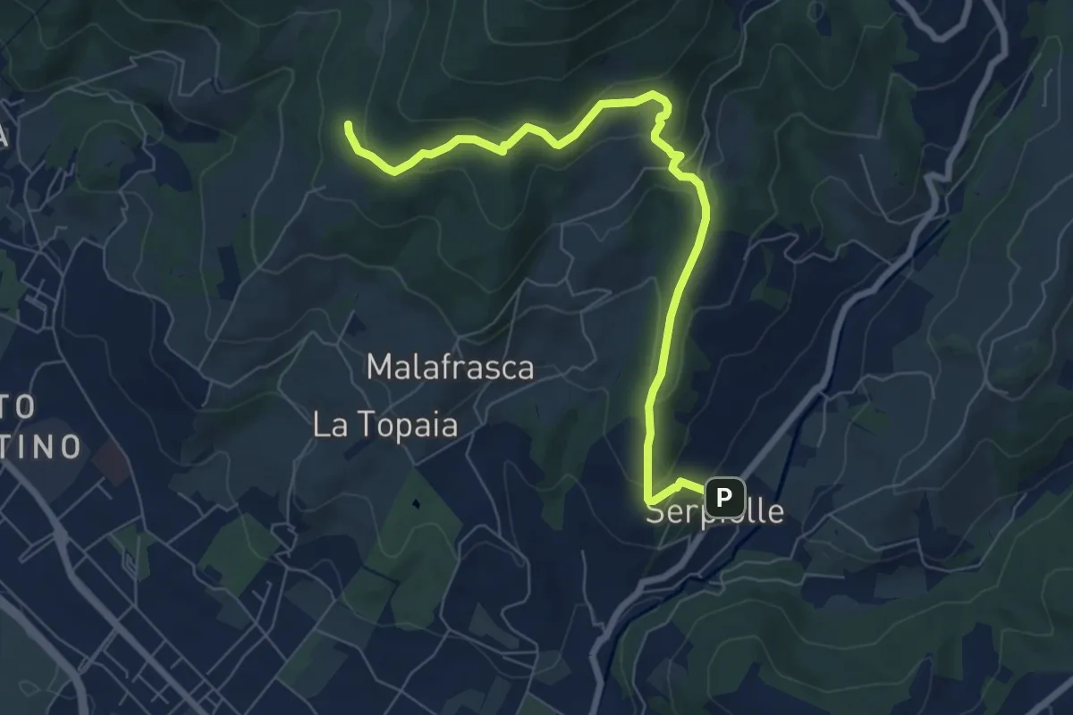
Medium · Trail
Serpiolle – Quota 328 sentiero 4
7.9 km · ↑ 360 m · 2 h 39 min · 10 km away
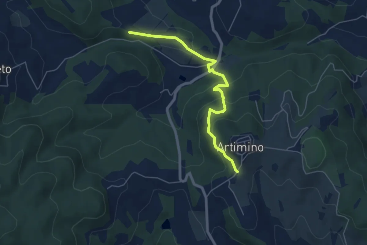
Easy · Trail
Podere Campisalti – Artimino
5.1 km · ↑ 232 m · 1 h 42 min · 10 km away
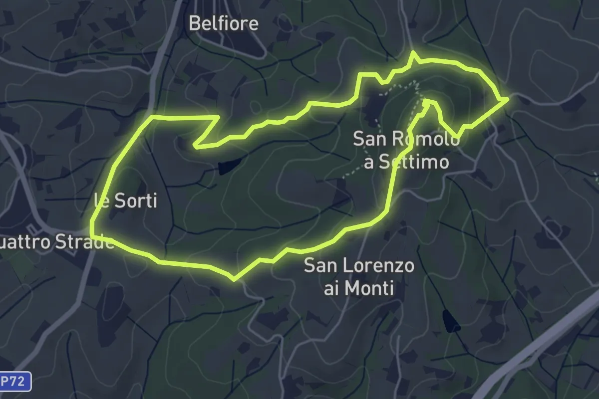
Easy · Summit
Anello della Guerrina
5.2 km · ↑ 181 m · 1 h 42 min · 10 km away
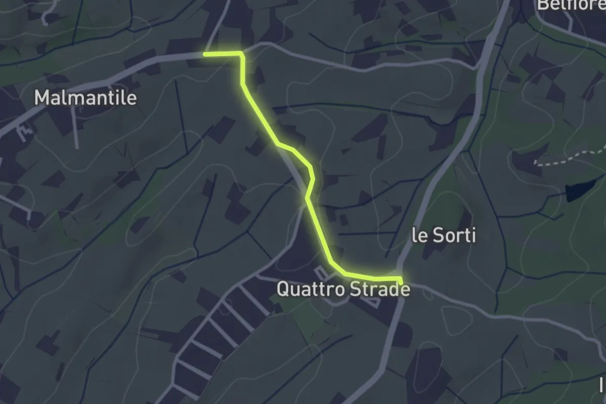
Easy · Trail
Innesto sentiero741, incrocio Via Vecchia Pisana con Via S. Salvadore – Innesto sentiero CAI 745, incrocio Via Maremmana con Via del Pollaiolo
2.4 km · ↑ 36 m · 38 min · 10 km away
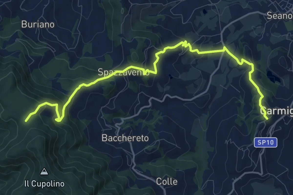
Medium · Trail
Carmignano San Michele – Torre di Sant'Alluccio
13.7 km · ↑ 699 m · 4 h 45 min · 10 km away
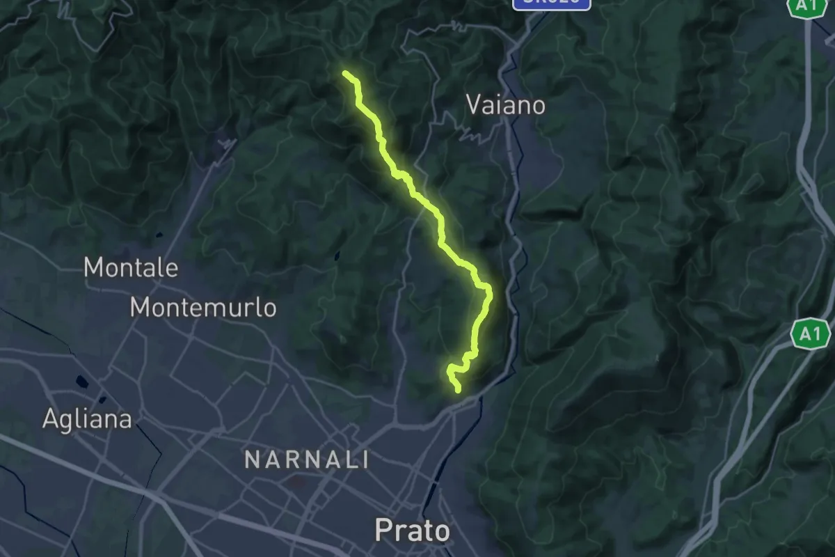
Demanding · Summit
sentiero Malaparte – Passo degli Acquiputoli
20.7 km · ↑ 1059 m · 7 h 11 min · 10 km away
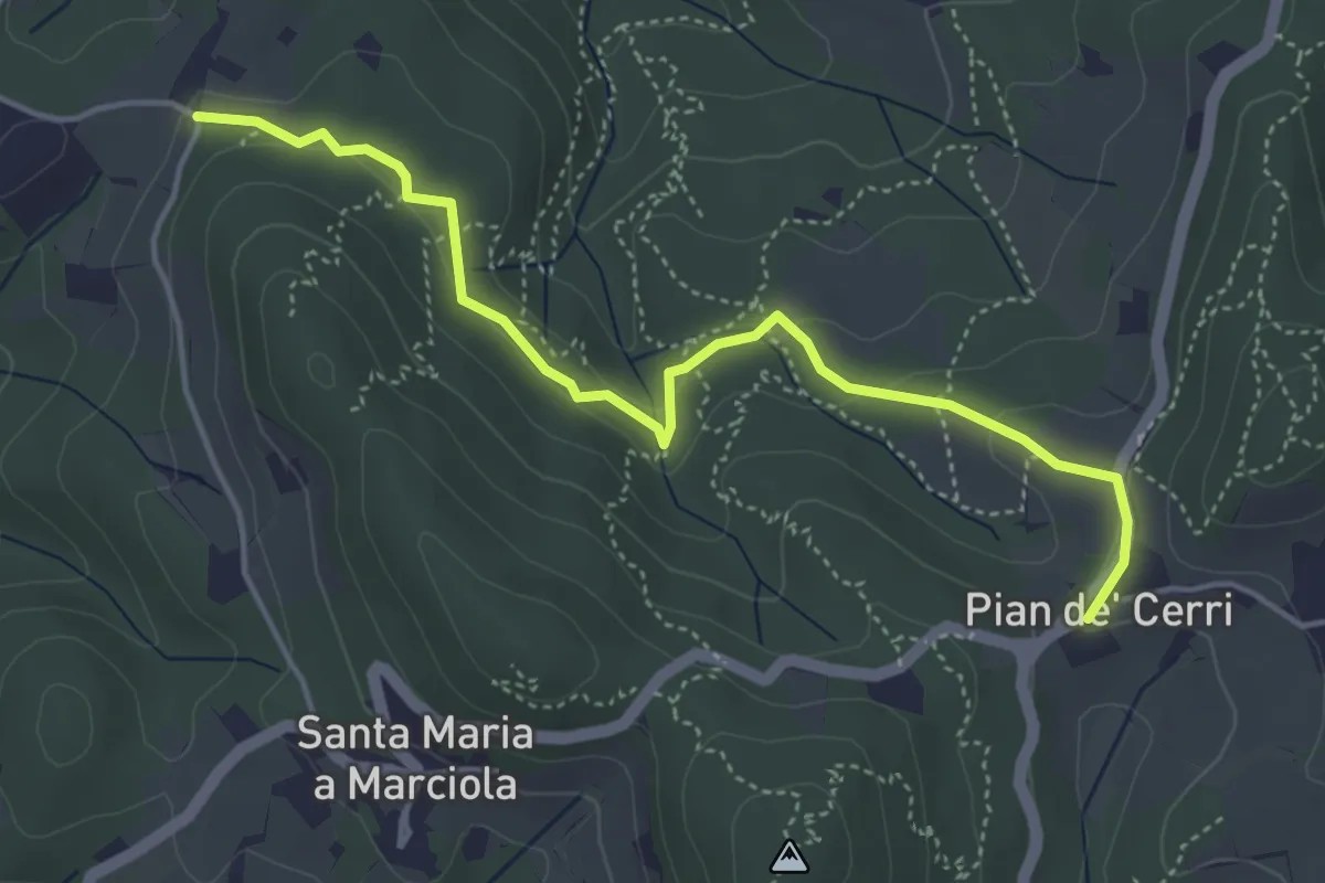
Easy · Trail
Pian de' Cerri – Roncigliano
4.9 km · ↑ 122 m · 1 h 25 min · 10 km away
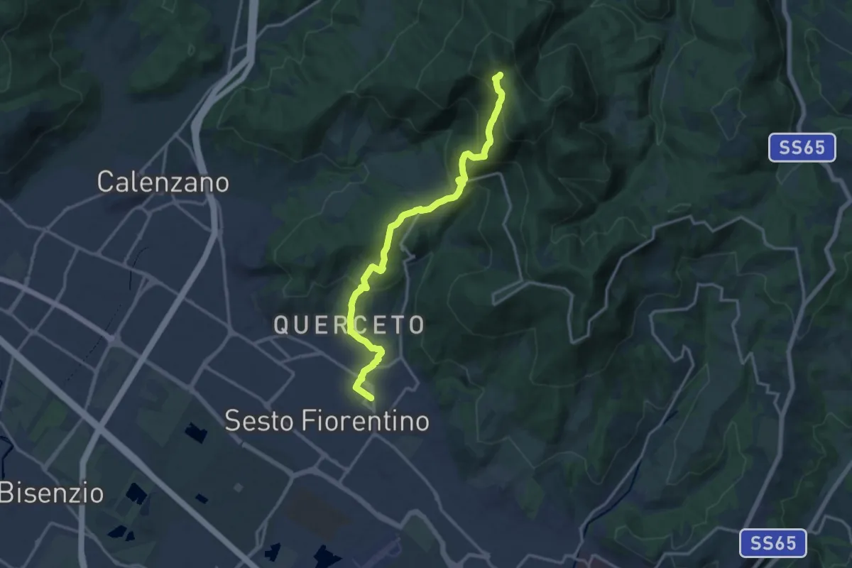
Demanding · Trail
Sesto Fiorentino - Via Veronelli Sezione CAI – Selletta
15.0 km · ↑ 818 m · 5 h 19 min · 10 km away
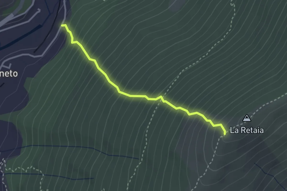
Medium · Trail
La Ovest Retaia
2.8 km · ↑ 628 m · 2 h 1 min · 10 km away
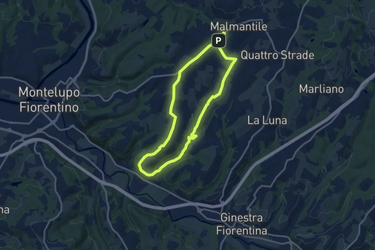
Medium · Trail
Malmantile – Malmantile
8.5 km · ↑ 145 m · 2 h 26 min · 10 km away
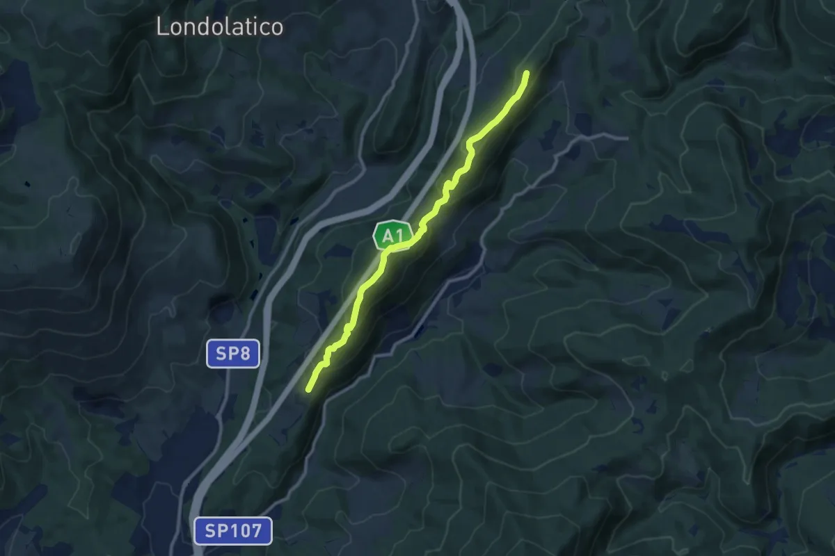
Medium · Summit
Collina – Torricella - Incr. sentiero 600
9.7 km · ↑ 530 m · 3 h 26 min · 10 km away
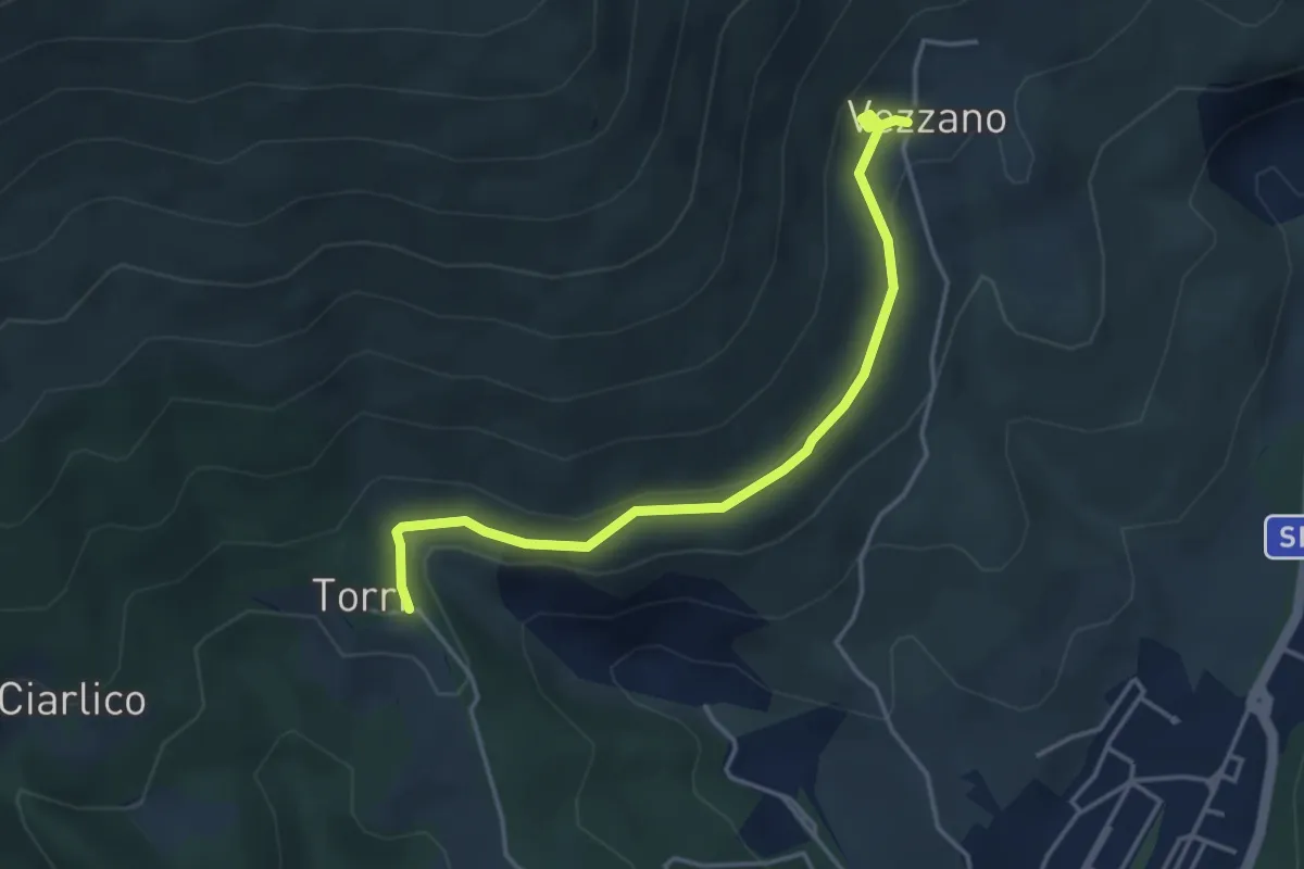
Easy · Trail
Torri di Carraia – Vezzano
4.2 km · ↑ 85 m · 1 h 10 min · 10 km away
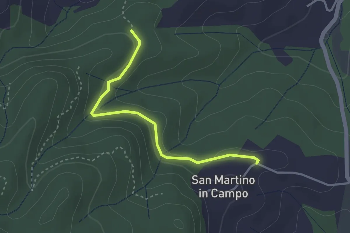
Easy · Trail
Caselli – Sotto San Martino
2.9 km · ↑ 71 m · 50 min · 10 km away
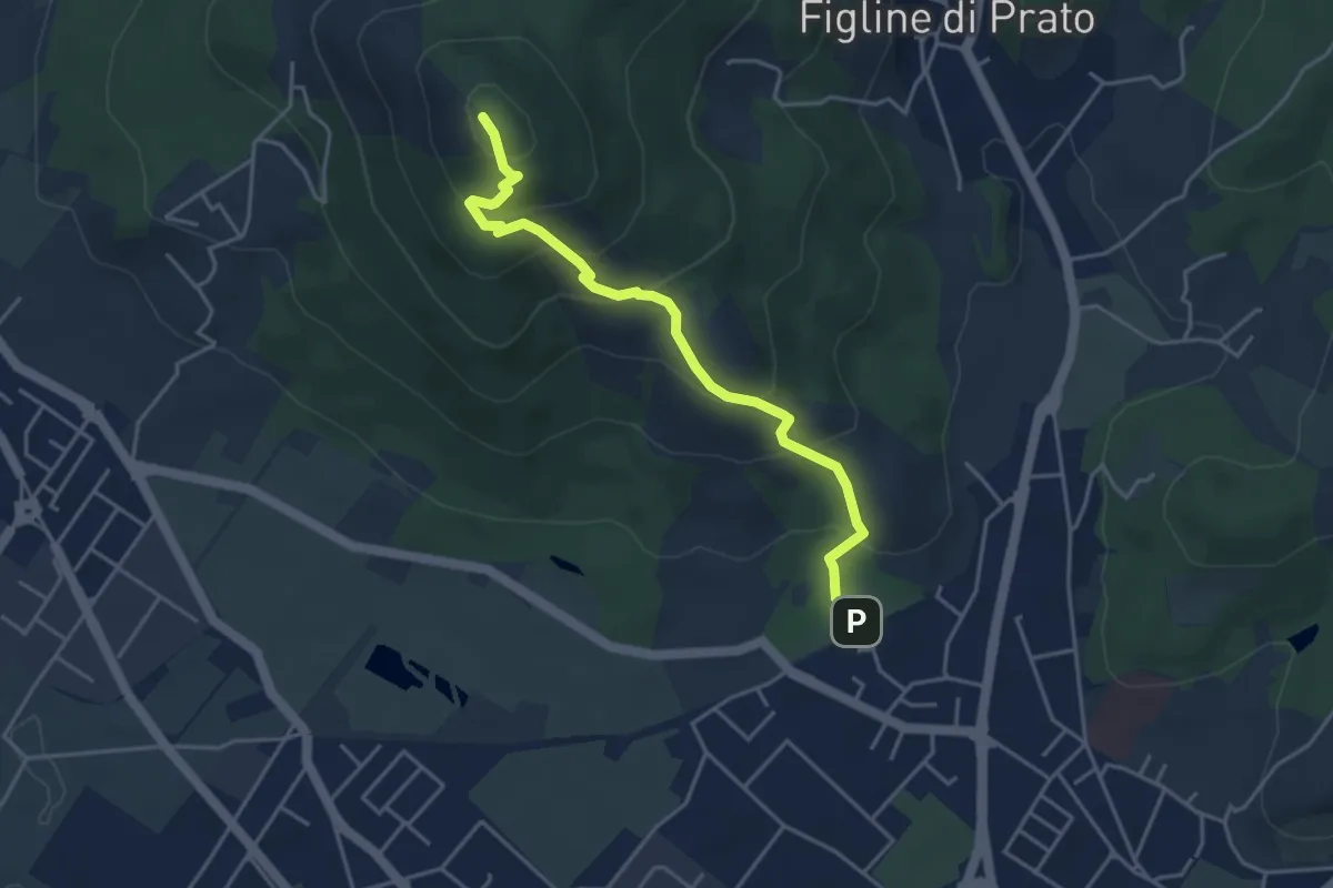
Medium · Summit
Galceti – Passo della Collina
4.4 km · ↑ 339 m · 1 h 47 min · 10 km away
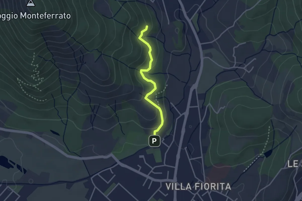
Easy · Trail
Sentiero Aurora (Piero Sambrotta)
2.7 km · ↑ 117 m · 54 min · 10 km away
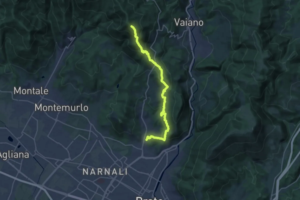
Demanding · Summit
Tramonto di un'Alba
19.9 km · ↑ 1090 m · 7 h 4 min · 10 km away
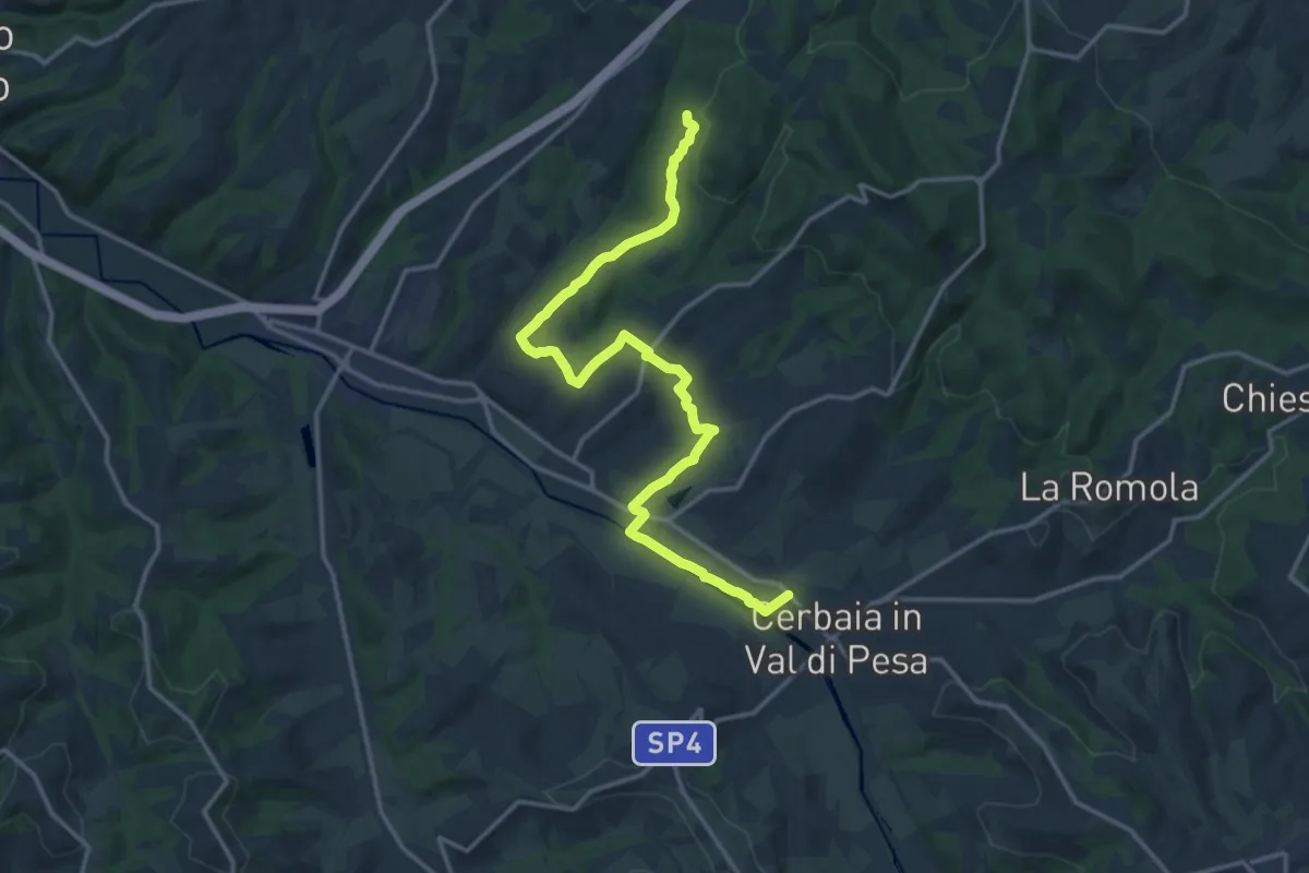
Demanding · Trail
Castellare – Roveta
18.2 km · ↑ 334 m · 5 h 1 min · 11 km away
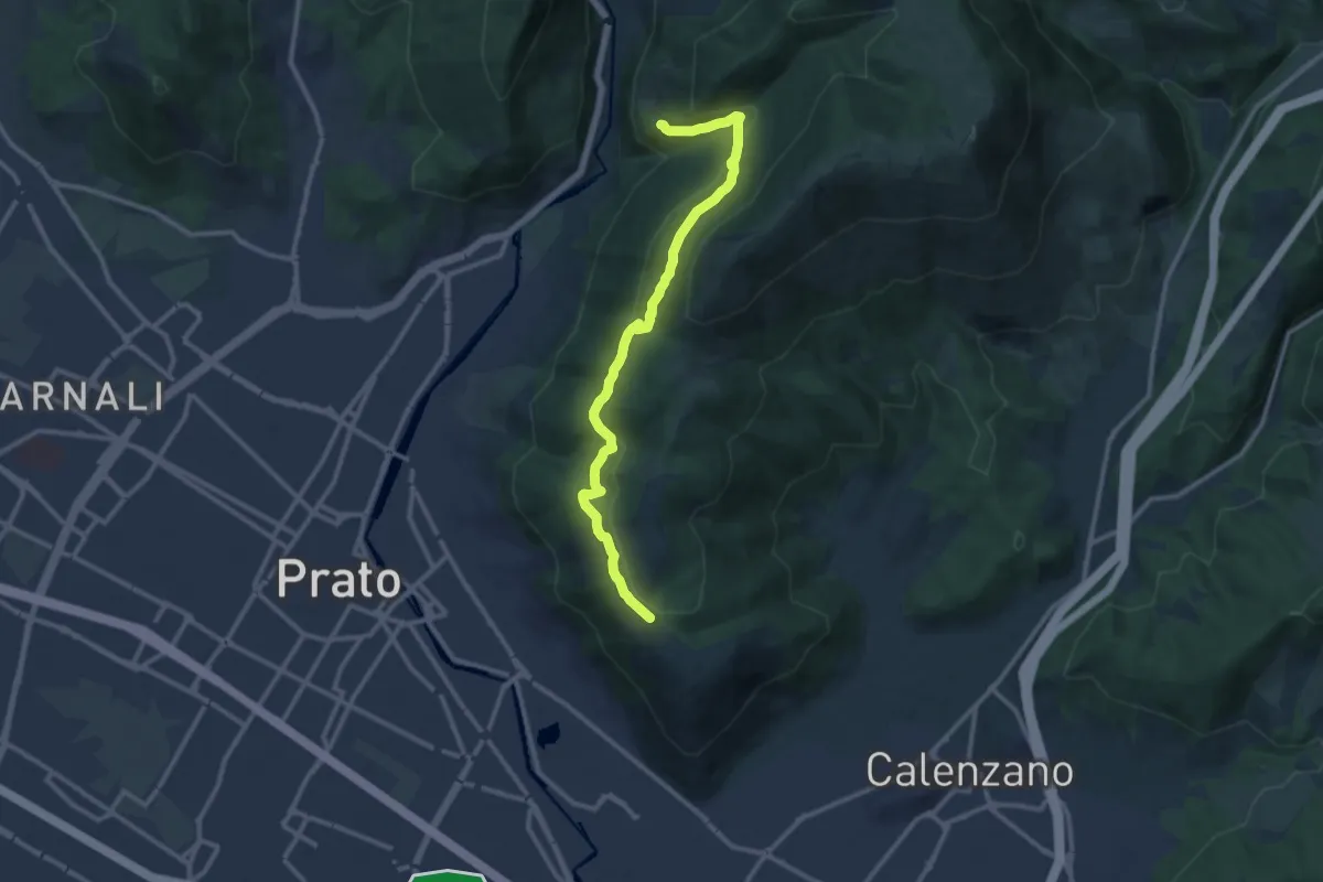
Medium · Trail
San Leonardo – Fosso della Valluccia
12.8 km · ↑ 519 m · 4 h 8 min · 11 km away
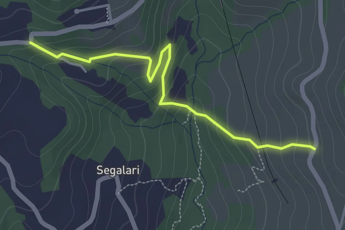
Easy · Trail
Via di Docciola (m. 300) – Incrocio sentiero 15 (m. 335)
3.2 km · ↑ 185 m · 1 h 9 min · 11 km away
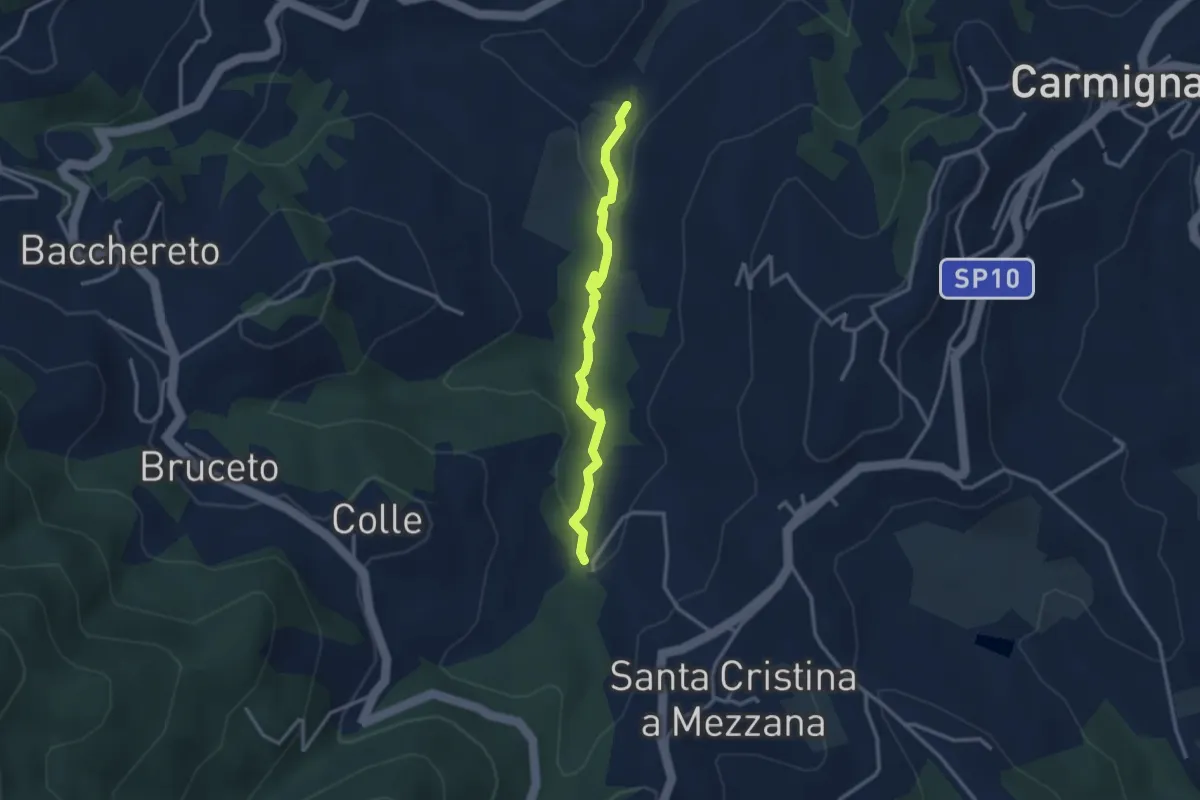
Easy · Trail
Fontanaccio – Il Mulino
2.9 km · ↑ 63 m · 50 min · 11 km away
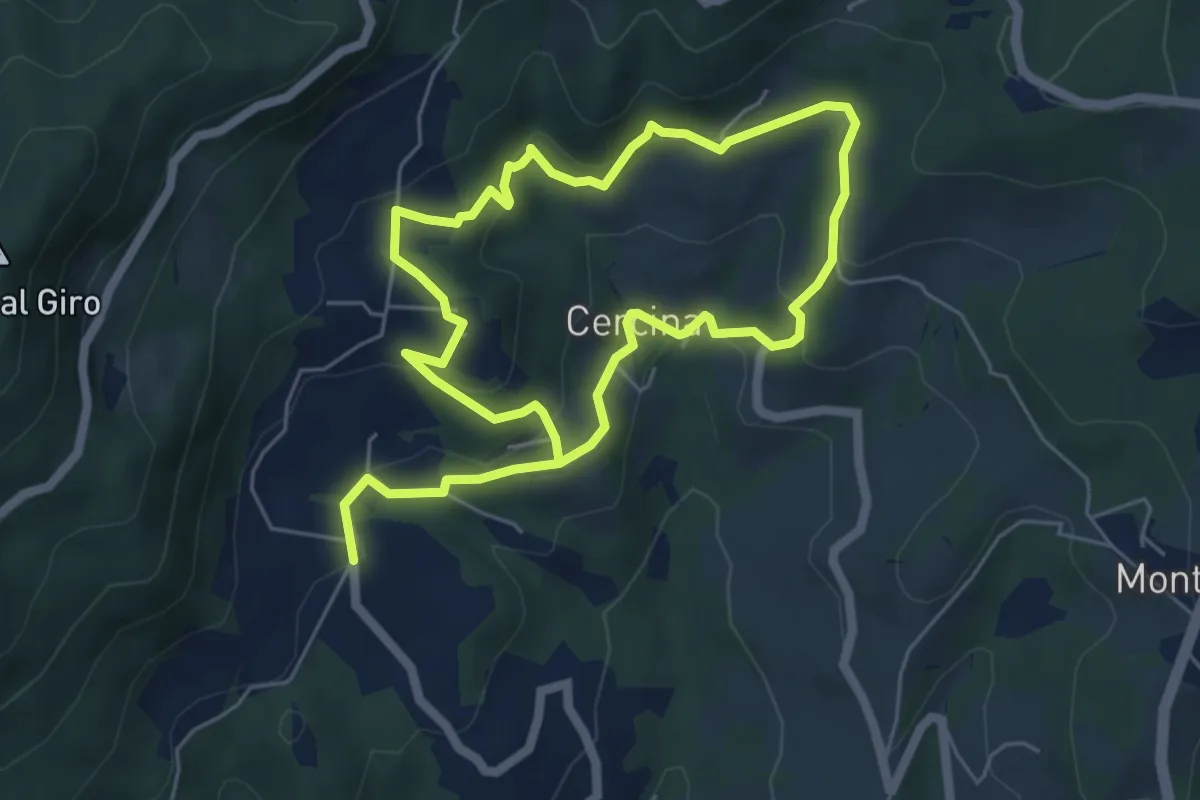
Easy · Trail
Chiesa di Cercina – Chiesa di Cercina
5.2 km · ↑ 237 m · 1 h 49 min · 11 km away
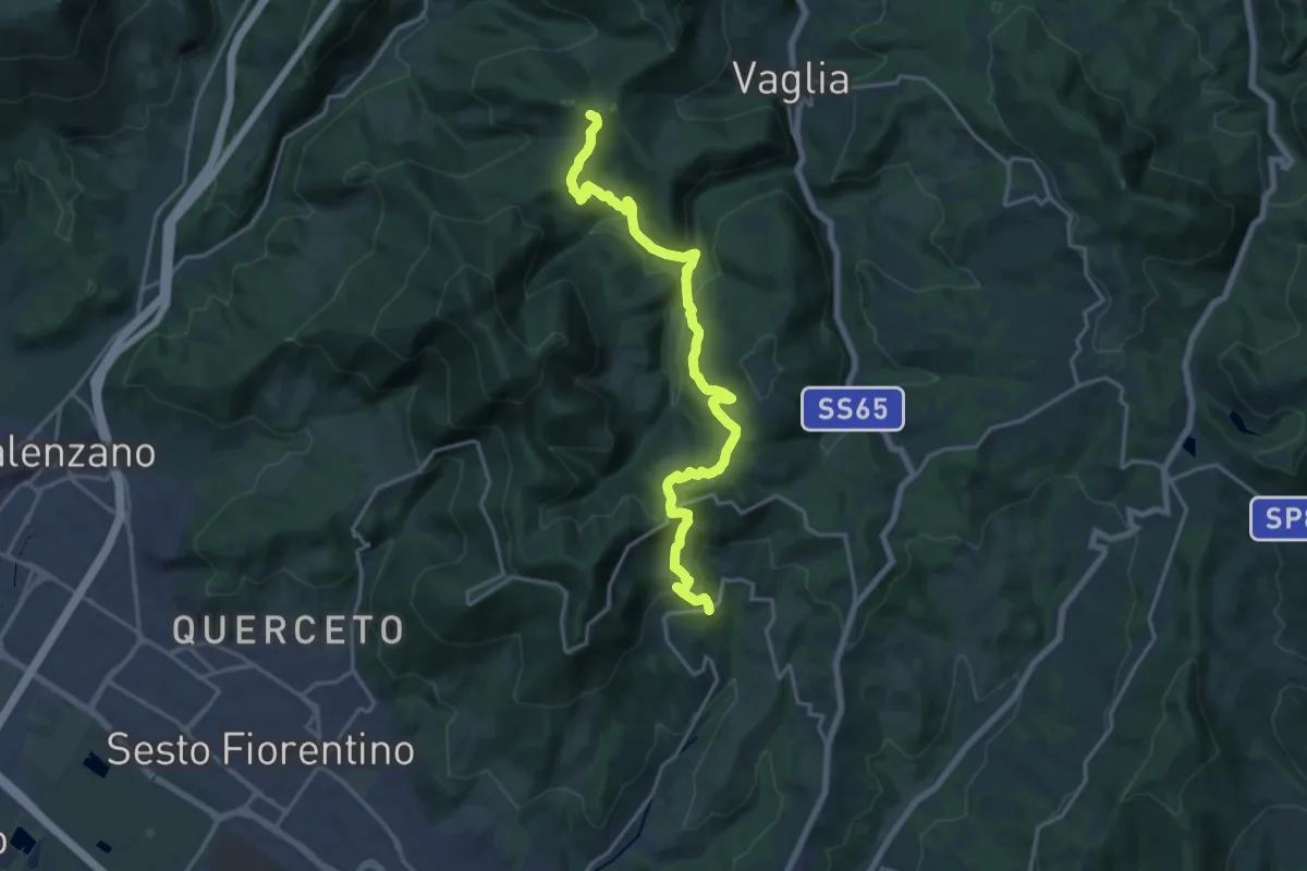
Demanding · Summit
Sentiero dei Castelli
20.2 km · ↑ 810 m · 6 h 32 min · 11 km away
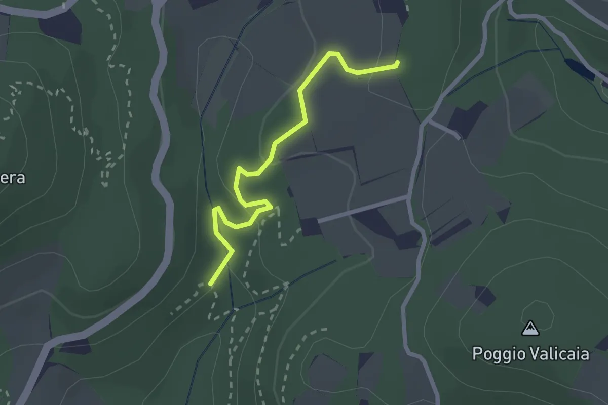
Easy · Trail
Sentiero 730 (Spazzavento) – Sentiero 732 (Lago delle Ninfee)
2.3 km · ↑ 59 m · 40 min · 11 km away
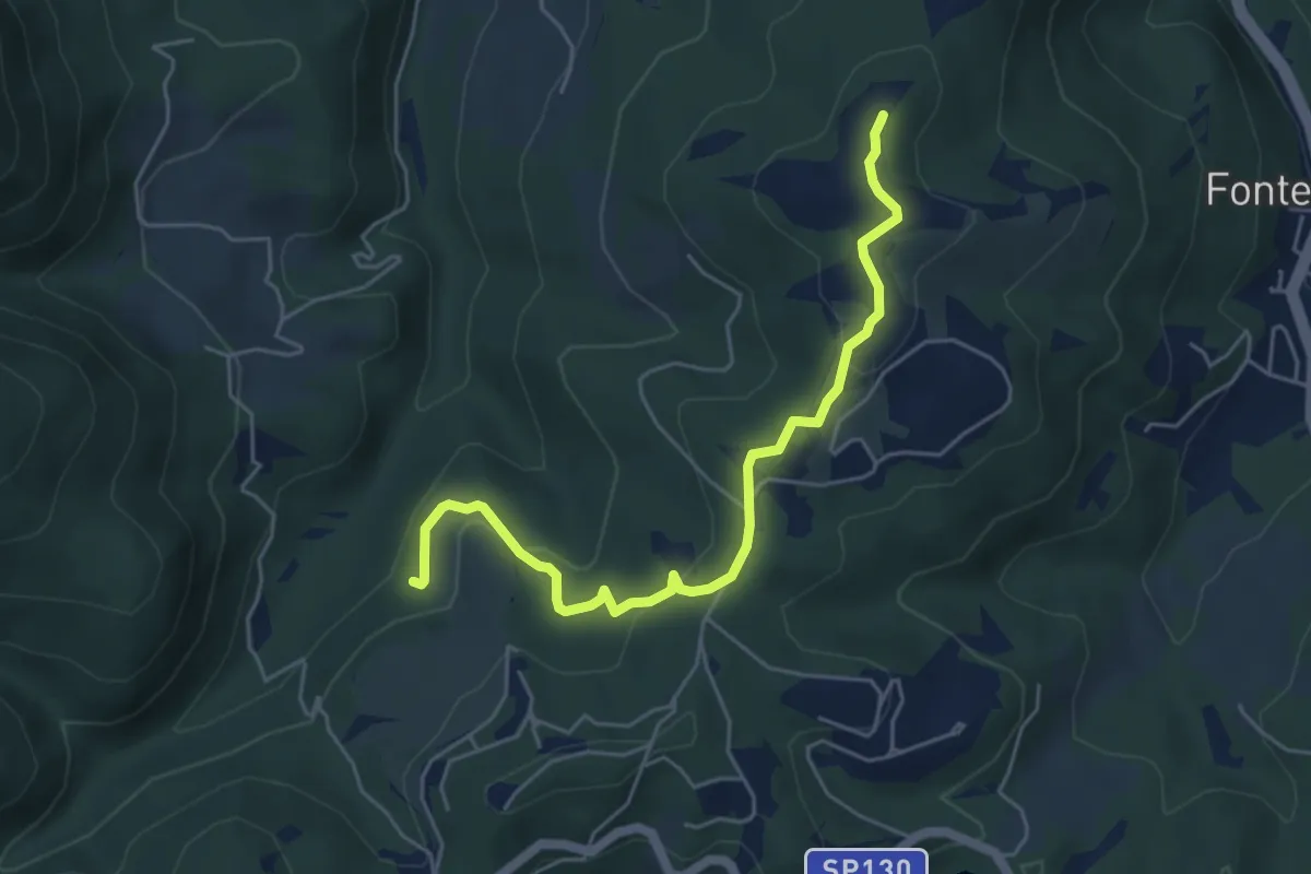
Easy · Summit
Anello della Carzola
5.6 km · ↑ 177 m · 1 h 42 min · 11 km away
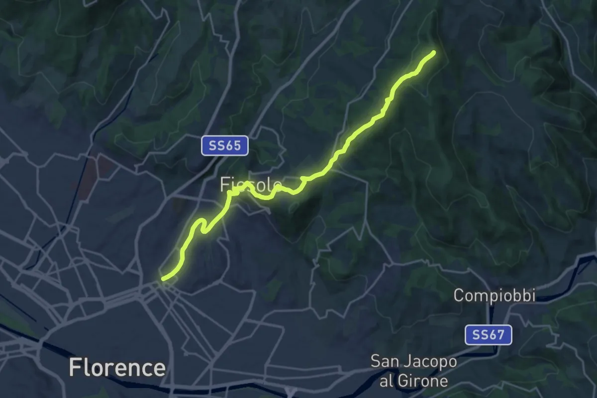
Demanding · Summit
Via degli Dei: Tappa 6
20.1 km · ↑ 708 m · 6 h 17 min · 11 km away
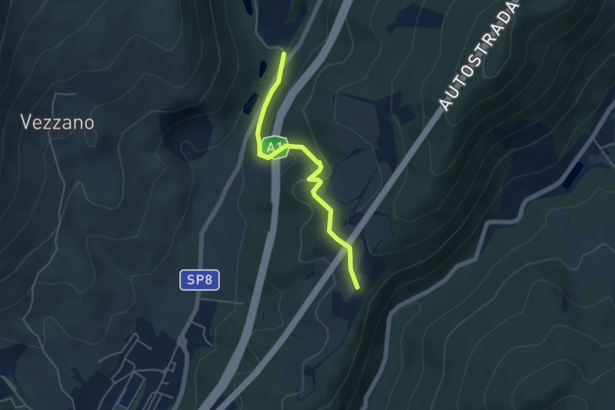
Easy · Trail
La Cassiana – Collina
3.9 km · ↑ 134 m · 1 h 13 min · 11 km away
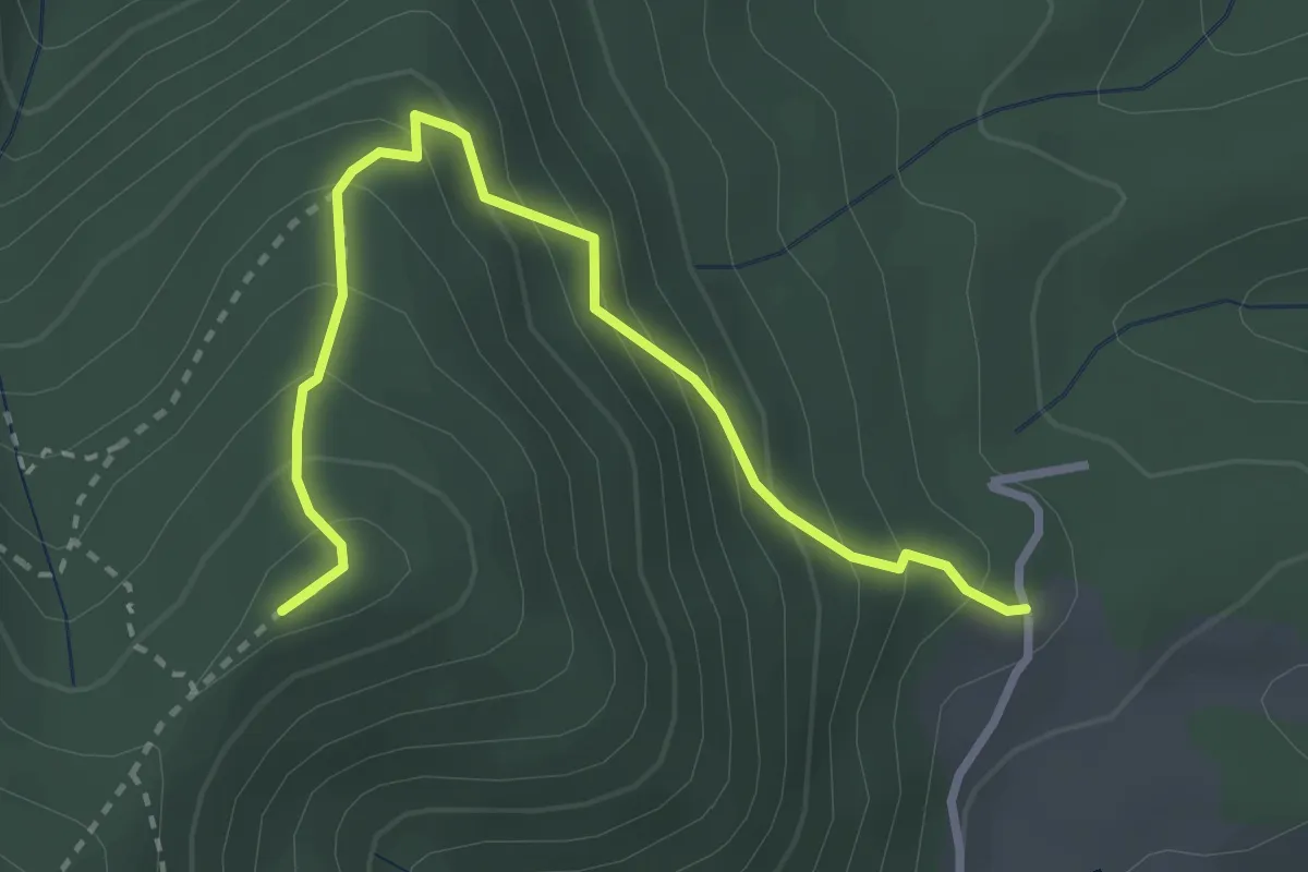
Medium · Summit
Capannaccia – Sella delle Colline
3.4 km · ↑ 303 m · 1 h 27 min · 11 km away
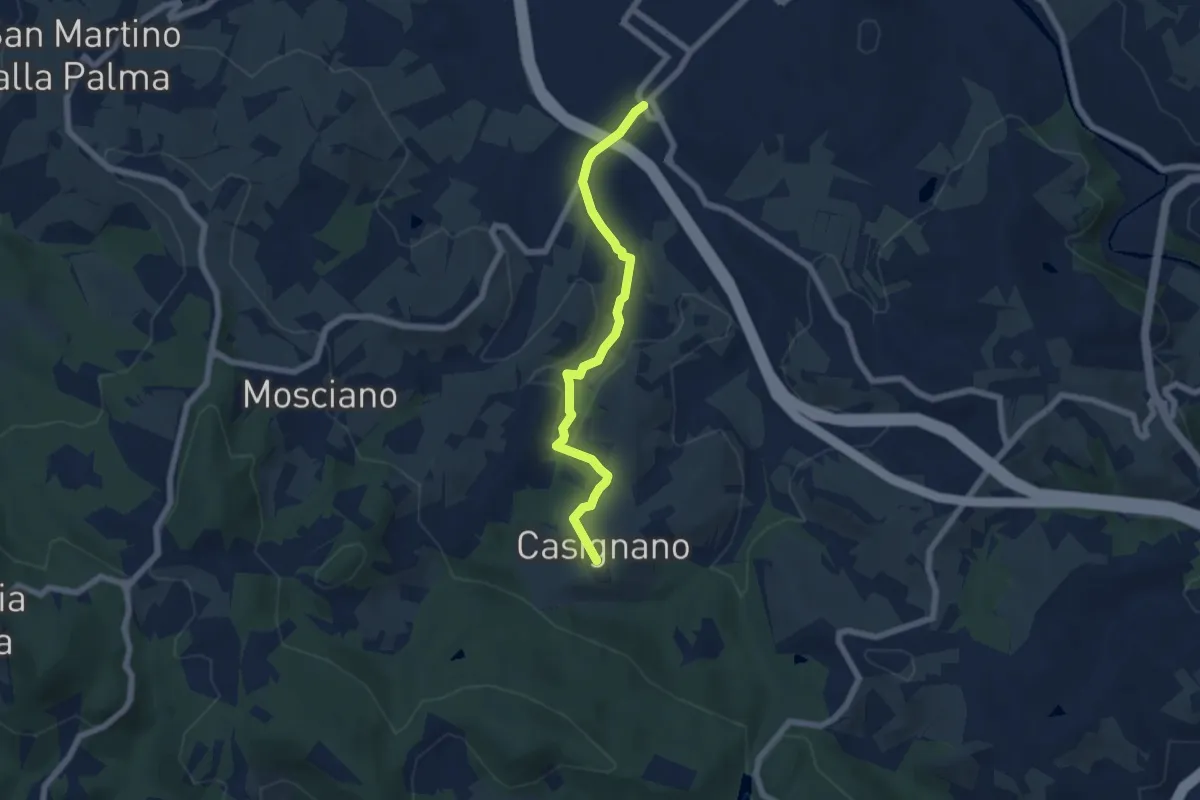
Easy · Trail
Vingone – Casignano (innesto Percorso 736)
6.3 km · ↑ 161 m · 1 h 51 min · 11 km away
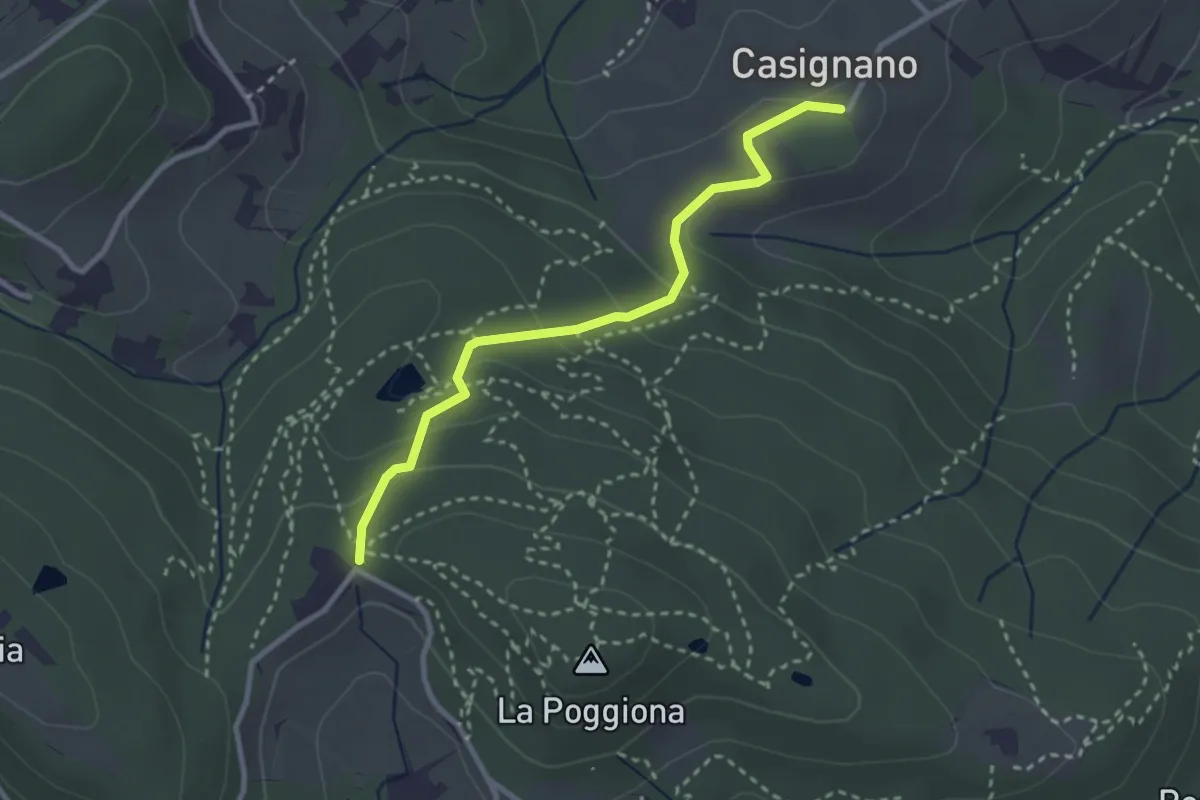
Easy · Trail
Casignano – La Catena
3.0 km · ↑ 126 m · 58 min · 11 km away
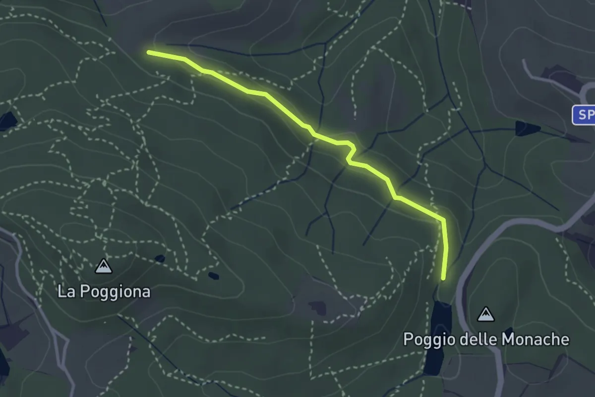
Easy · Trail
Casignano – Lago di Chiesanuova
3.0 km · ↑ 68 m · 51 min · 11 km away
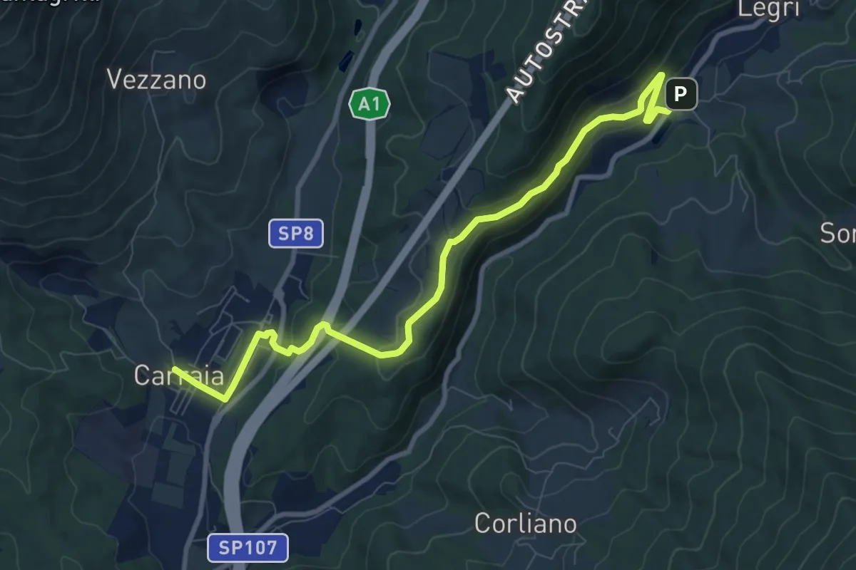
Medium · Trail
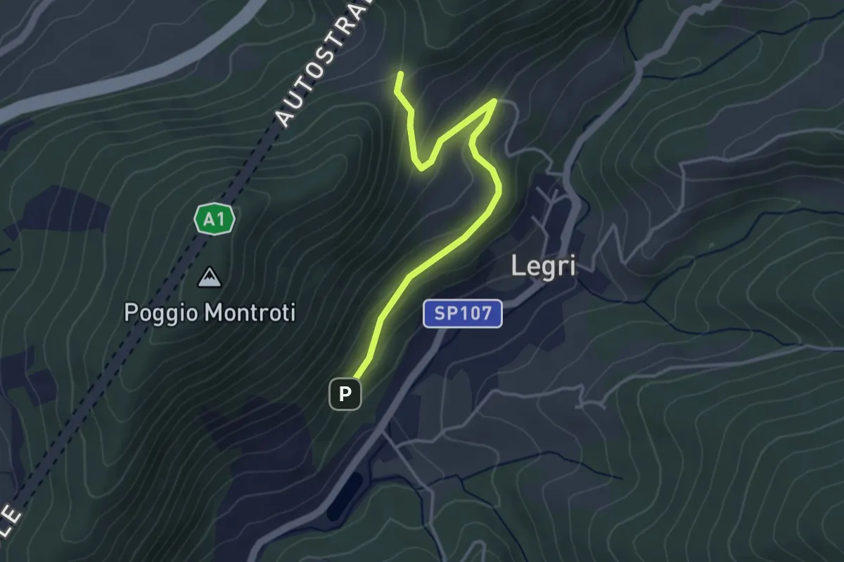
Carraia – Lago di Legri - Incrocio sentiero 608
9.8 km · ↑ 331 m · 3 h 2 min · 12 km away
Easy · Trail
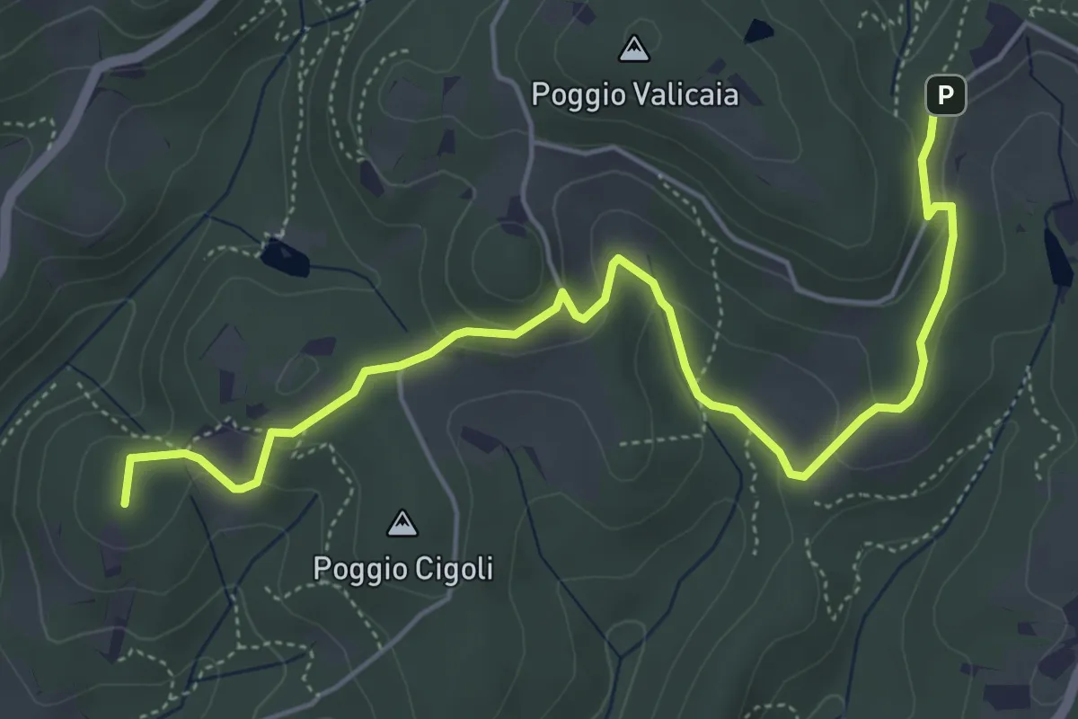
Case Cutriolo - Incr. sent. 608A – Collina di Sopra - Incr. sent. 620
3.6 km · ↑ 152 m · 1 h 11 min · 12 km away
Easy · Summit
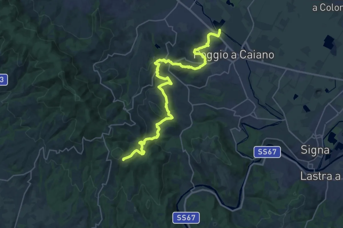
Castellare – Poggio Valicaia
6.3 km · ↑ 220 m · 1 h 57 min · 12 km away
Medium · Trail
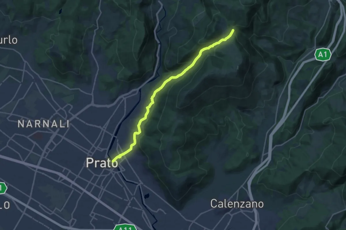
Cassa espansione Taglianico – Casenuove
12.8 km · ↑ 340 m · 4 h 7 min · 12 km away
Medium · Trail
Prato - Ponte al Mercatale – Valibona
16.7 km · ↑ 697 m · 5 h 27 min · 12 km away
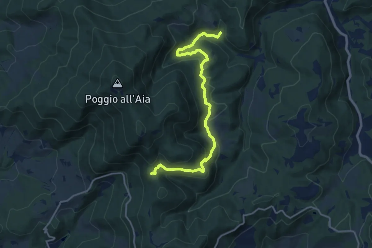
Medium · Trail
Cerreto Maggio – Sella delle Colline
11.7 km · ↑ 447 m · 3 h 43 min · 12 km away
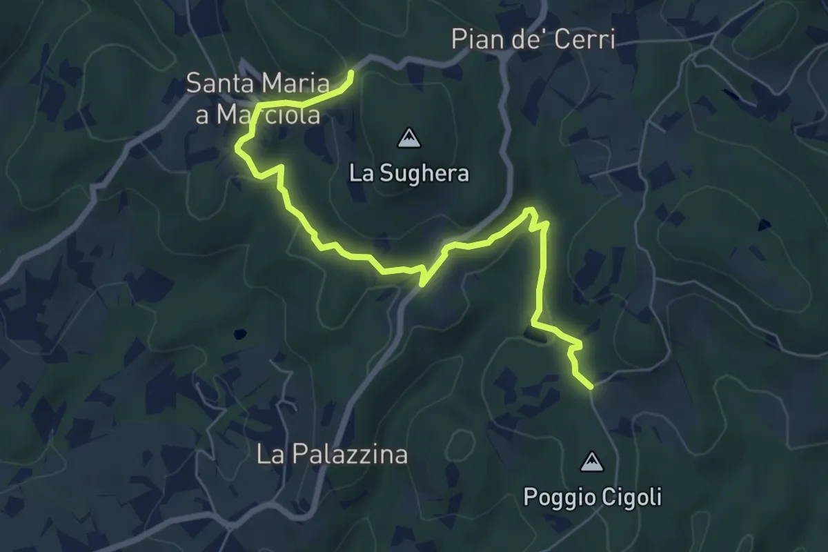
Easy · Trail
Le Calle – Le Croci
7.3 km · ↑ 237 m · 2 h 14 min · 12 km away
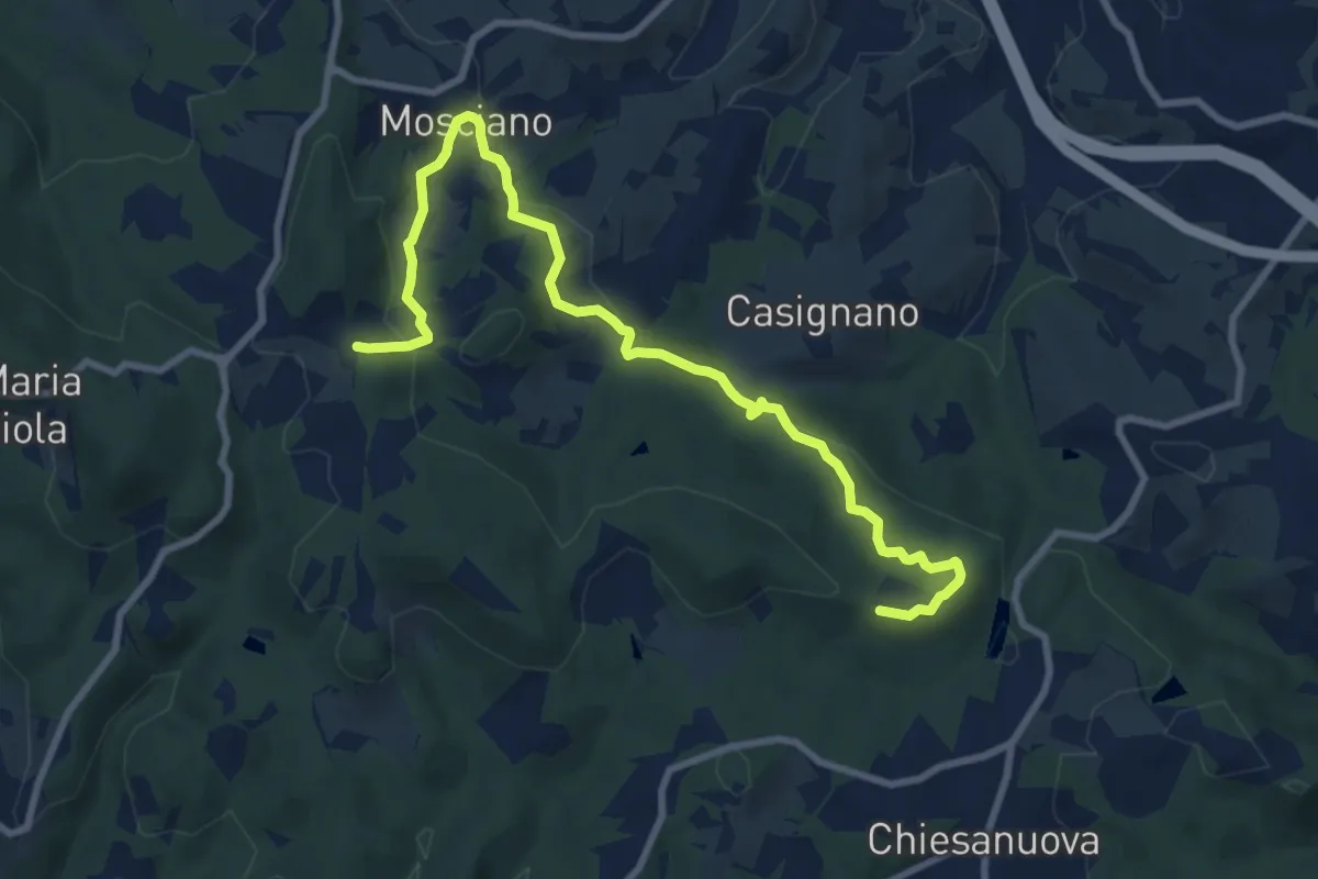
Medium · Trail
Sentiero 730 (Podere Leone) – Il Cerro
10.7 km · ↑ 364 m · 3 h 19 min · 13 km away
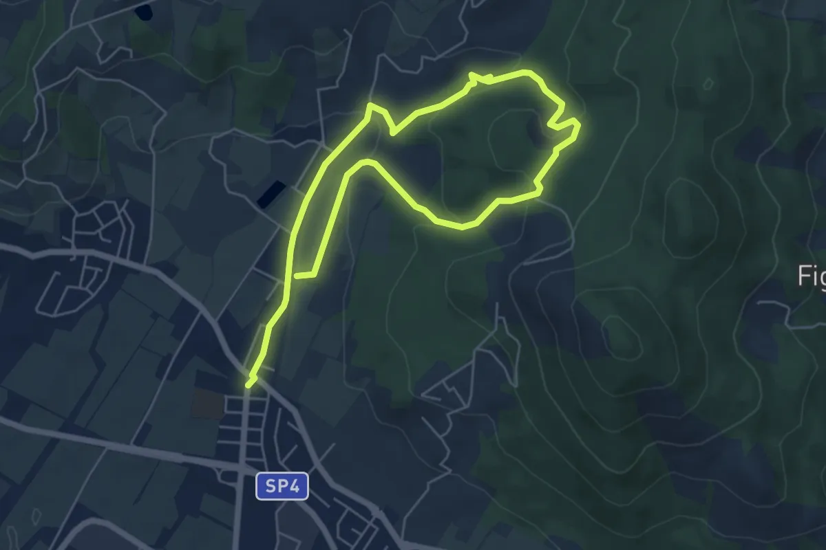
Easy · Trail
Cammino dell'Acqua - Torrente Bagnolo
4.6 km · ↑ 151 m · 1 h 29 min · 13 km away
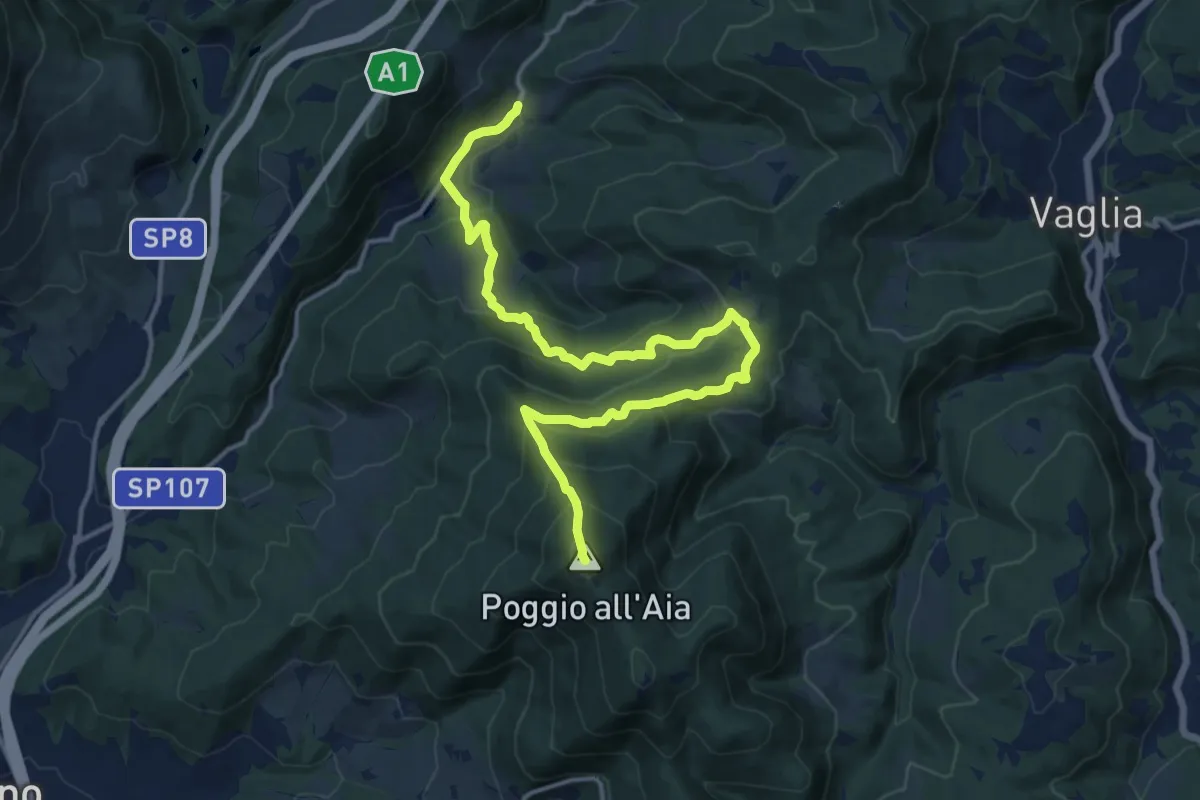
Demanding · Summit
Legri – Poggio all'Aia
17.6 km · ↑ 965 m · 6 h 14 min · 13 km away
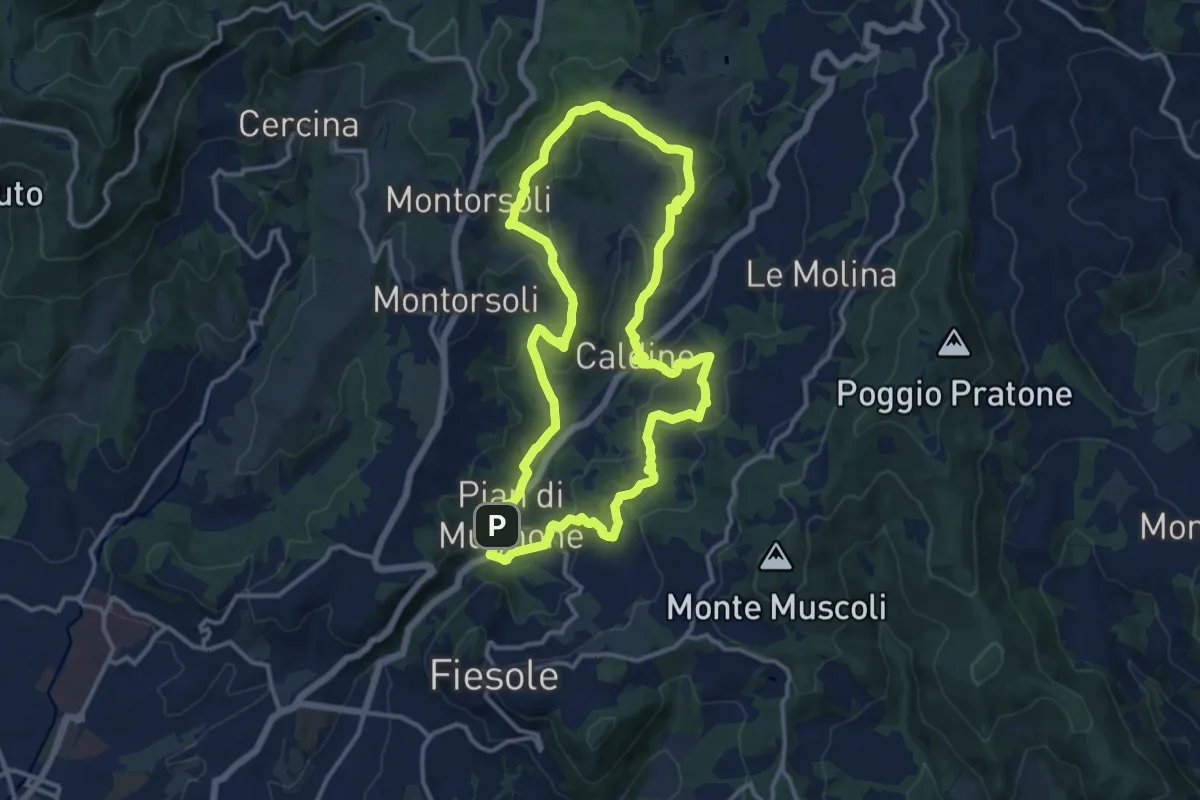
Medium · Summit
Pian di Mugnone – Pian di Mugnone
13.3 km · ↑ 432 m · 4 h 16 min · 13 km away
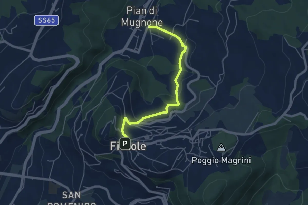
Easy · Trail
Fiesole – Indicatorio
4.4 km · ↑ 177 m · 1 h 26 min · 13 km away
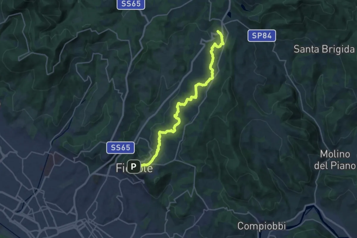
Demanding · Trail
Fiesole – Sentiero 00
19.7 km · ↑ 654 m · 6 h 4 min · 13 km away
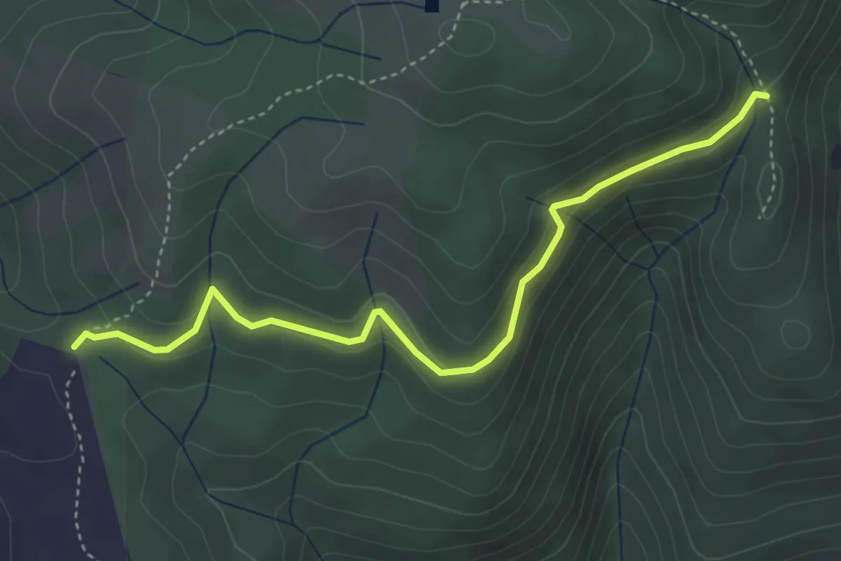
Easy · Cabin
Rimaggio di Monte Maggiore – Foce ai Cerri Nord
4.4 km · ↑ 182 m · 1 h 25 min · 13 km away
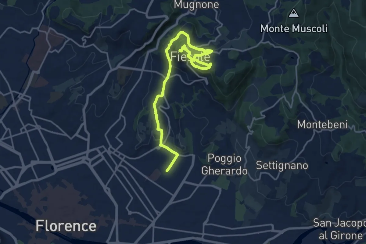
Medium · Summit
Tappa 7 - Da Firenze a Fiesole
15.1 km · ↑ 507 m · 4 h 39 min · 13 km away
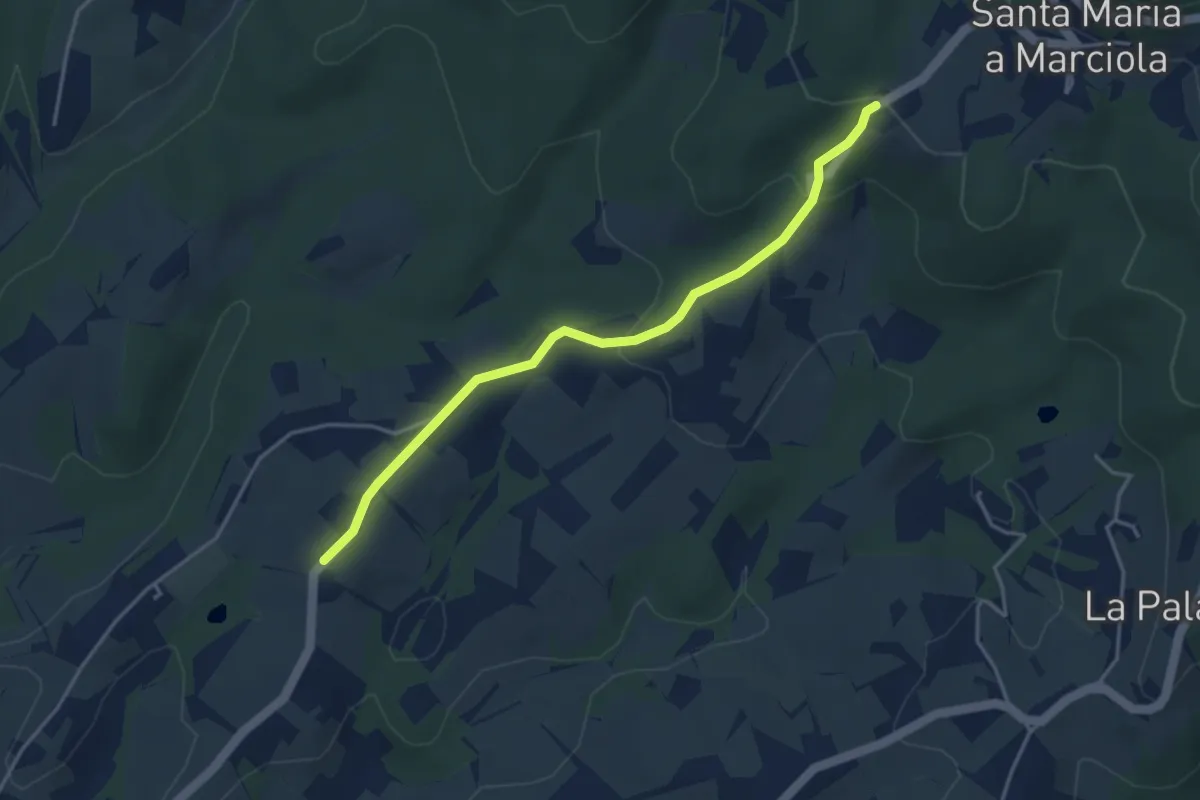
Easy · Trail
Bivio Azienda agricola Brunelli, innesto CAI 740 – Località San Niccolò a Torri, innesto CAI 731
4.2 km · ↑ 129 m · 1 h 16 min · 13 km away
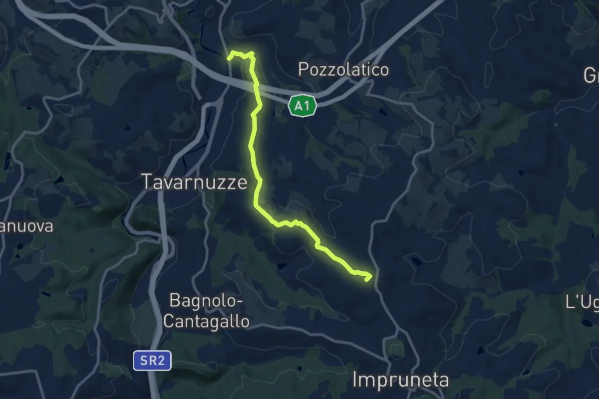
Medium · Summit
Bottai – Impruneta
9.6 km · ↑ 257 m · 2 h 50 min · 13 km away