Trails near Camporosso
53 hikes starting within 15 km, nearest first.
Nearest first, page 1 of 2
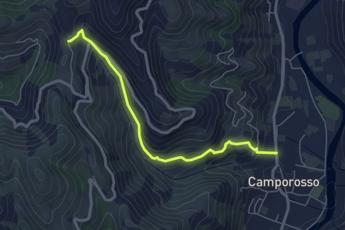
Medium · Trail
Camporosso – Madonna della Neve
4.9 km · ↑ 355 m · 1 h 56 min · 2 km away
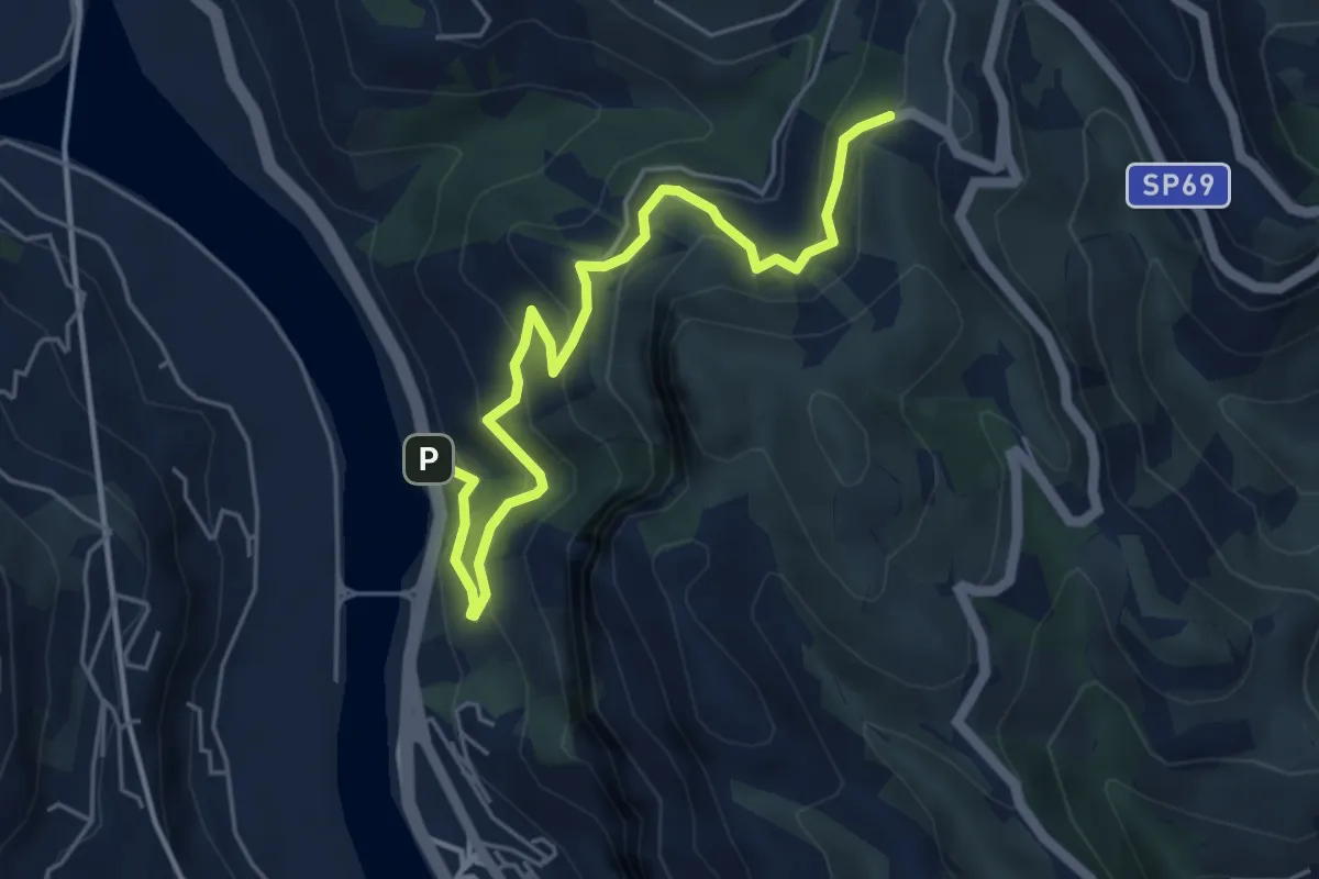
Medium · Trail
Roverino – Ciaxie
5.8 km · ↑ 501 m · 2 h 27 min · 3 km away
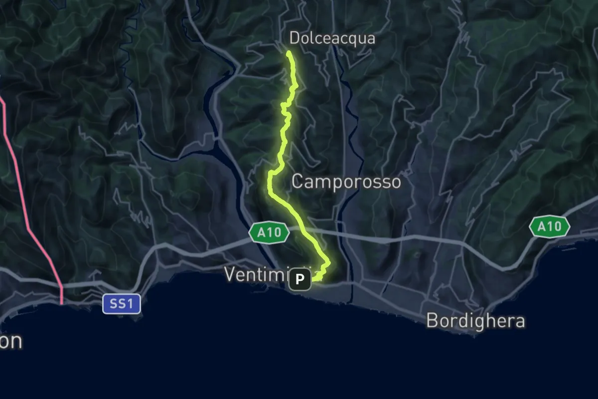
Demanding · Summit
Ventimiglia - La Colla
18.1 km · ↑ 968 m · 6 h 23 min · 3 km away
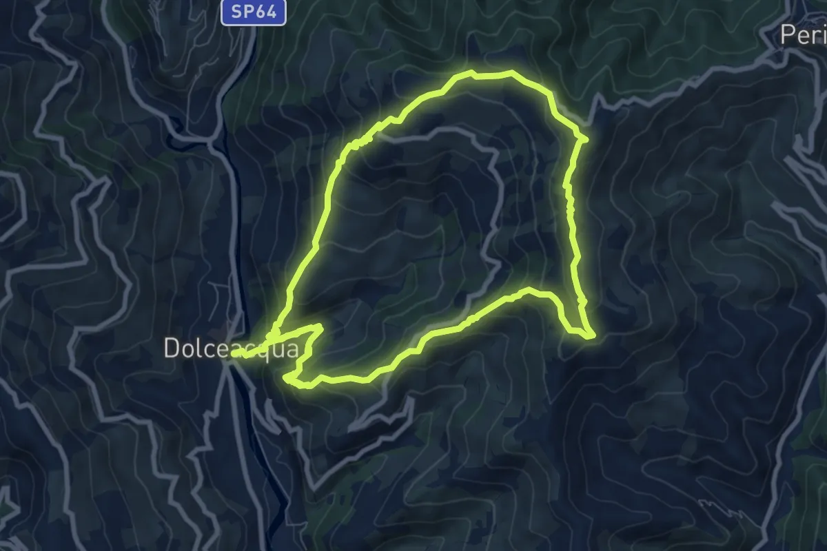
Medium · Summit
Rochin
8.2 km · ↑ 650 m · 3 h 25 min · 4 km away
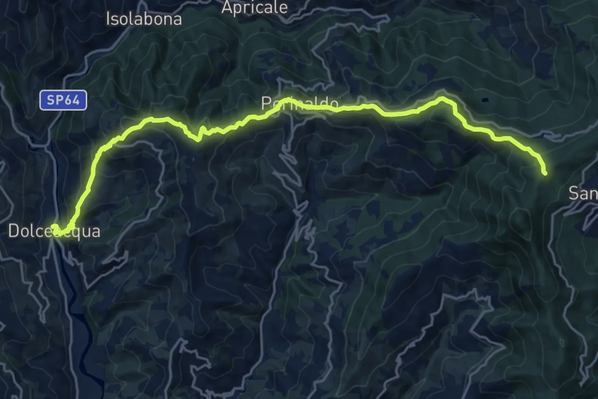
Demanding · Summit
Sentiero Balcone Mediterraneo T3
20.0 km · ↑ 1281 m · 7 h 29 min · 4 km away
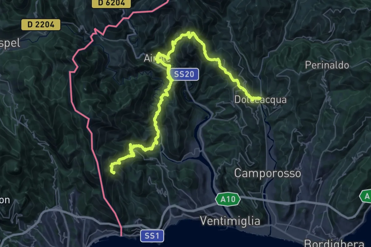
Demanding · Summit
Sentiero Liguria - Tappa 27 - variante 2
47.2 km · ↑ 3892 m · 19 h 35 min · 4 km away
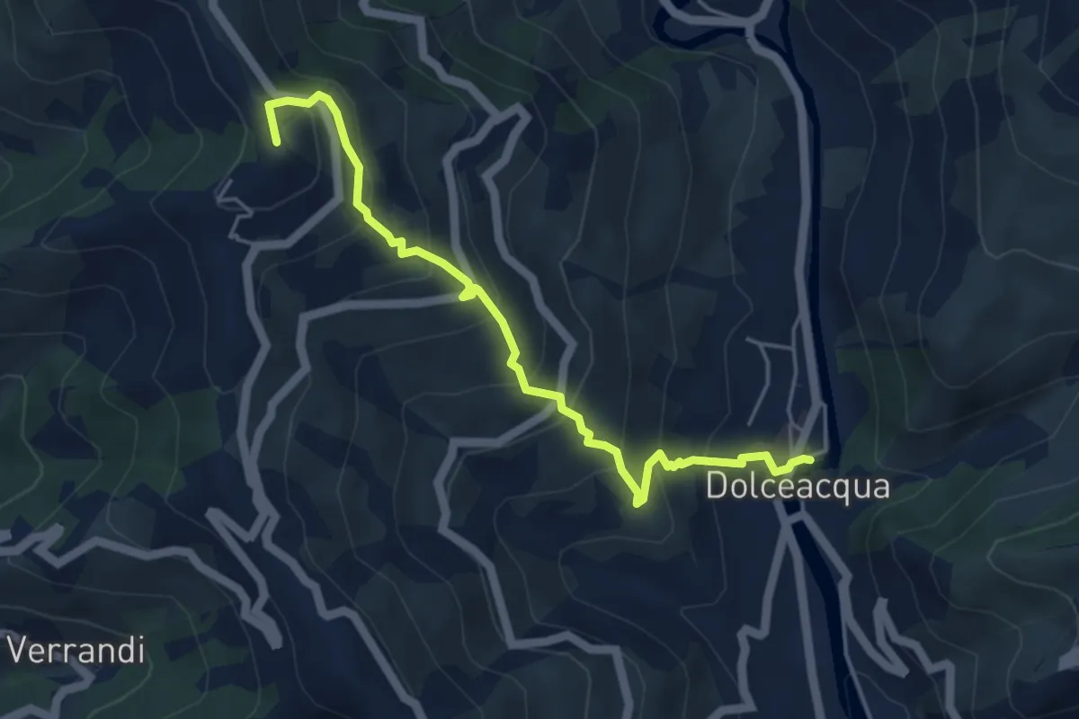
Medium · Summit
Sentiero Balcone
5.1 km · ↑ 457 m · 2 h 11 min · 4 km away
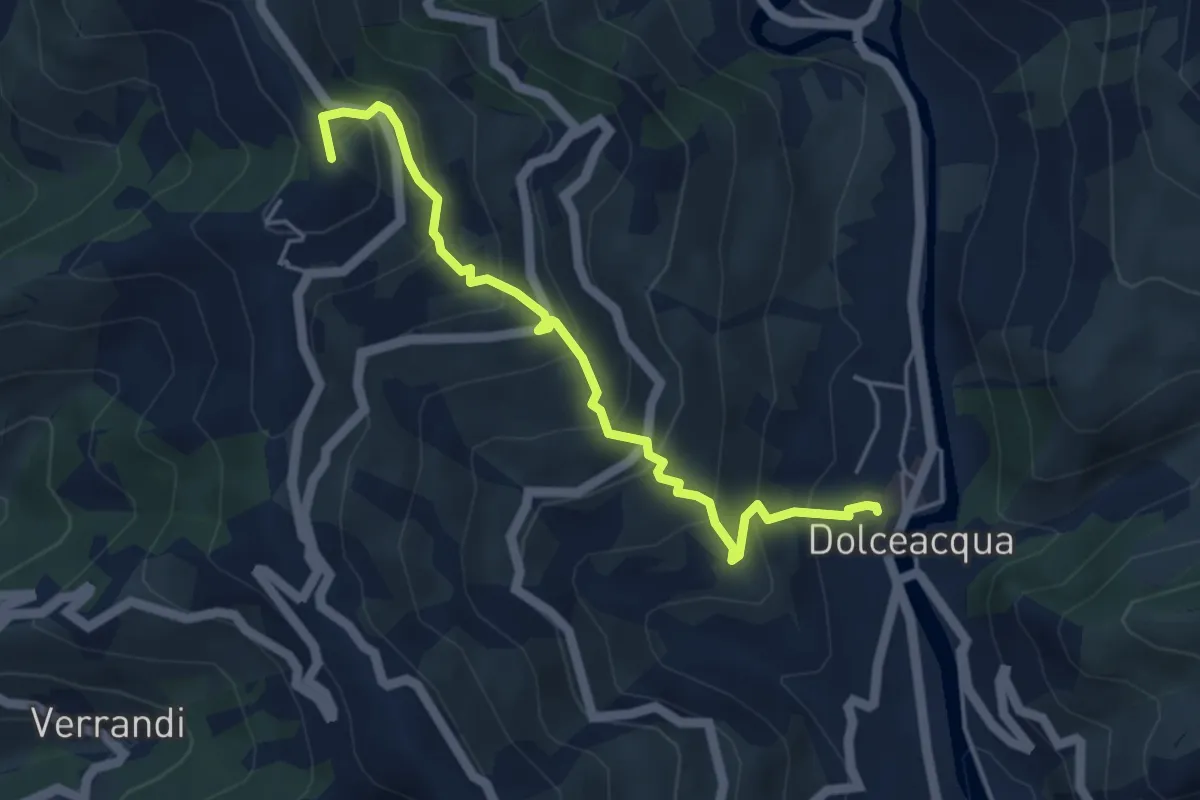
Medium · Summit
Dolceacqua – Cima Tramontina
4.8 km · ↑ 447 m · 2 h 6 min · 4 km away
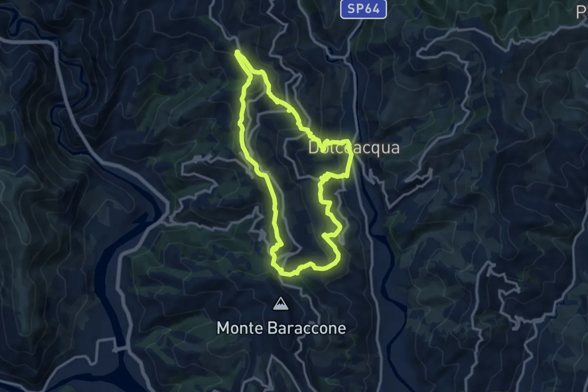
Medium · Summit
Arcagna
9.9 km · ↑ 626 m · 3 h 50 min · 4 km away
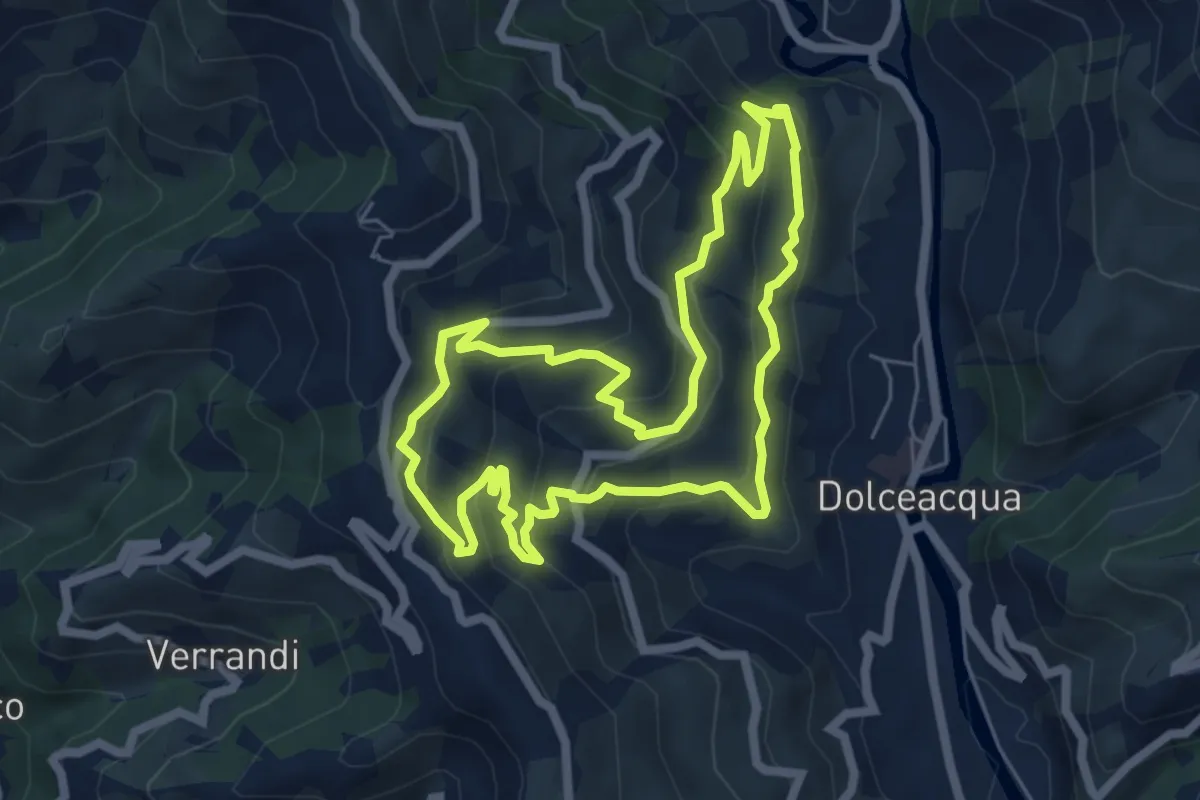
Medium · Trail
Gardiola
6.3 km · ↑ 385 m · 2 h 24 min · 4 km away
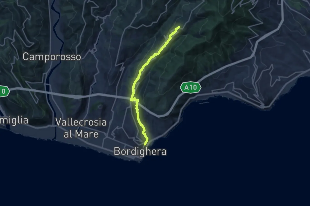
Medium · Trail
Madonna della Neve -> Seborga
12.6 km · ↑ 548 m · 4 h 10 min · 5 km away
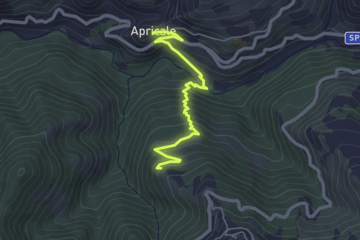
Medium · Trail
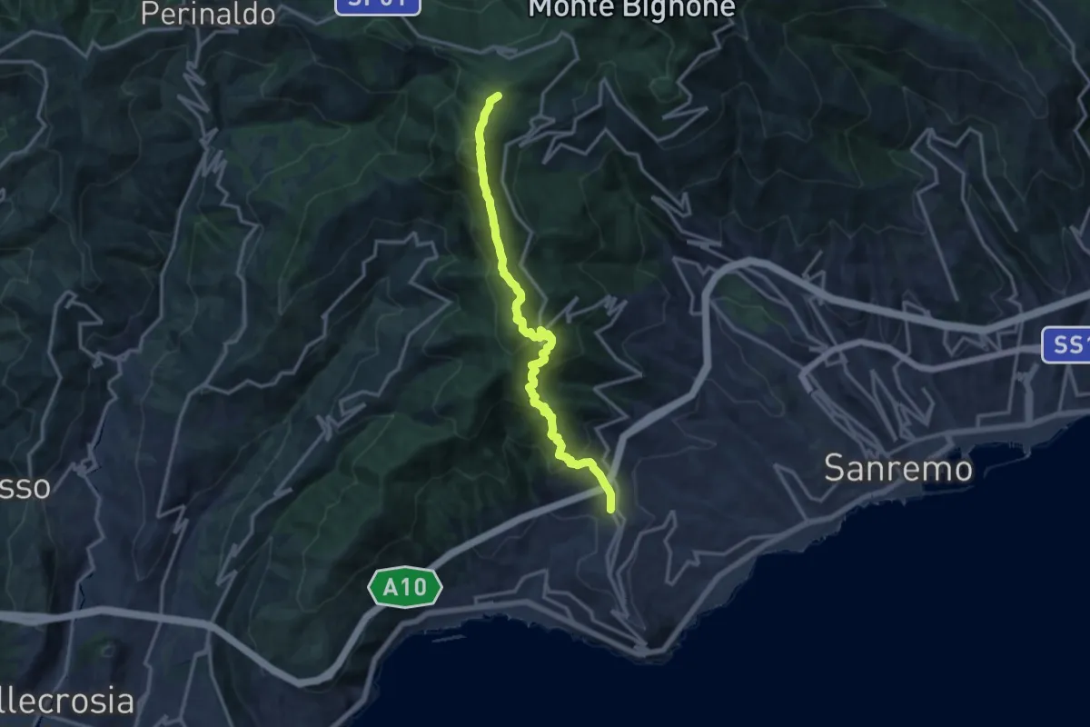
Apricale – Perinaldo
4.5 km · ↑ 354 m · 1 h 50 min · 7 km away
Demanding · Summit
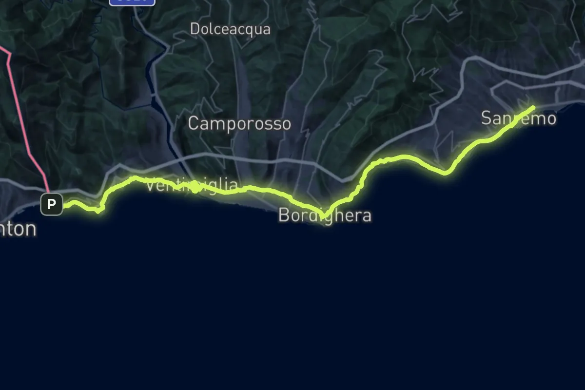
Termini di Perinaldo – Coldirodi
13.9 km · ↑ 982 m · 5 h 25 min · 8 km away
Demanding · Trail
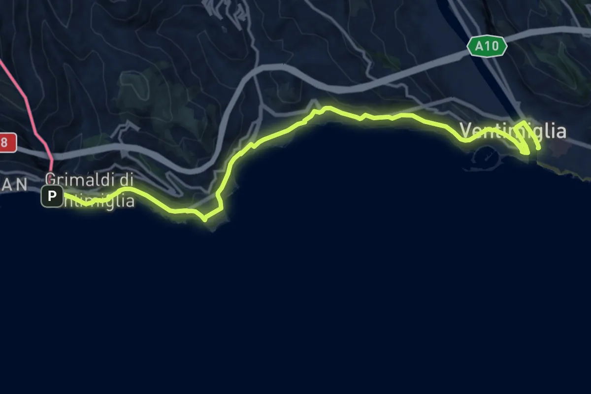
Via della Costa - Tappa 1
26.1 km · ↑ 604 m · 7 h 50 min · 9 km away
Medium · Trail
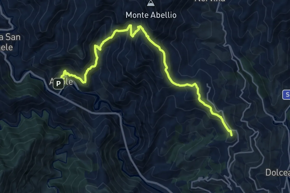
Sentiero Liguria - Tappa 29
17.0 km · ↑ 499 m · 5 h 6 min · 9 km away
Demanding · Summit
Sentiero Balcone Mediterraneo T2
16.6 km · ↑ 1430 m · 7 h 1 min · 9 km away
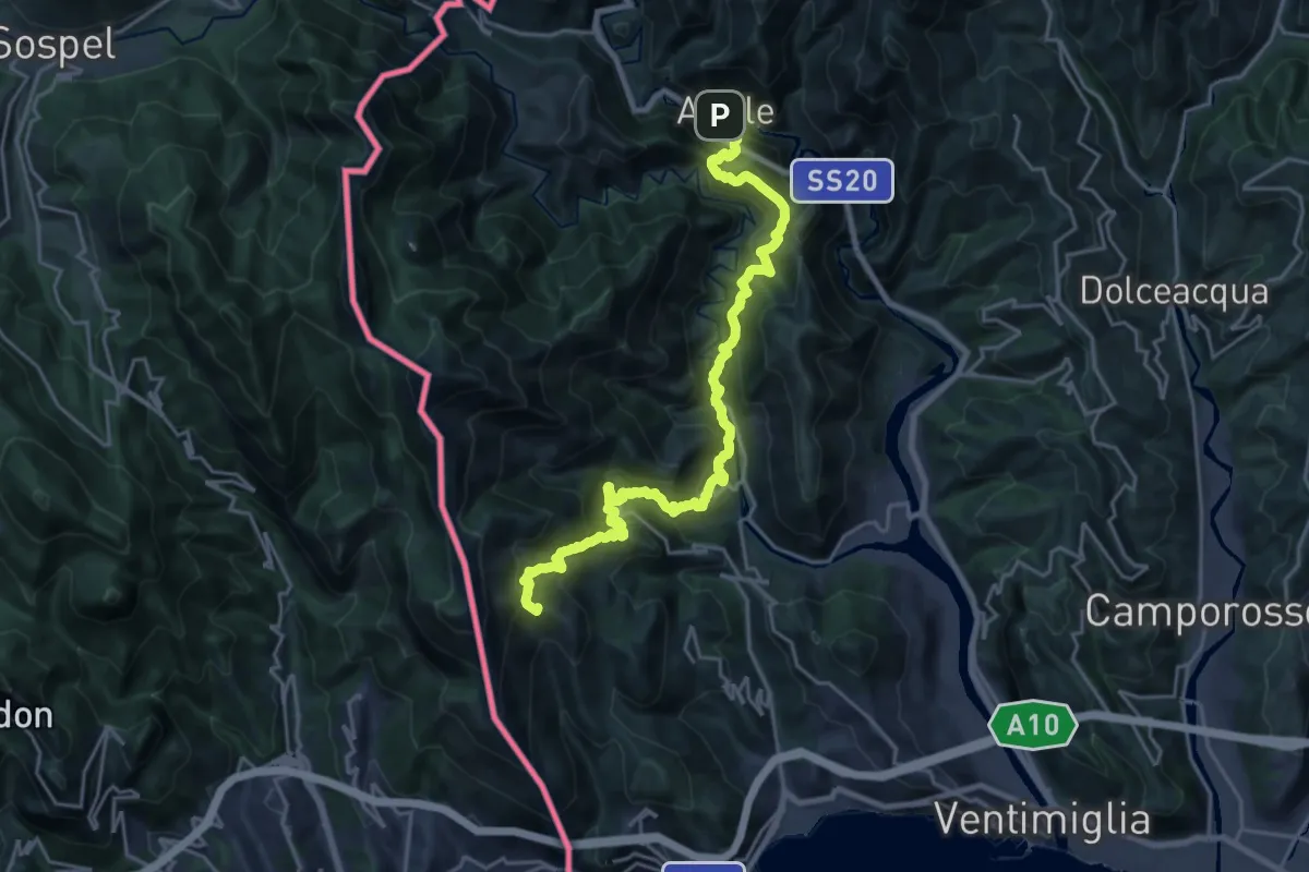
Demanding · Summit
Sentiero Balcone Mediterraneo T1
25.7 km · ↑ 2058 m · 10 h 32 min · 9 km away
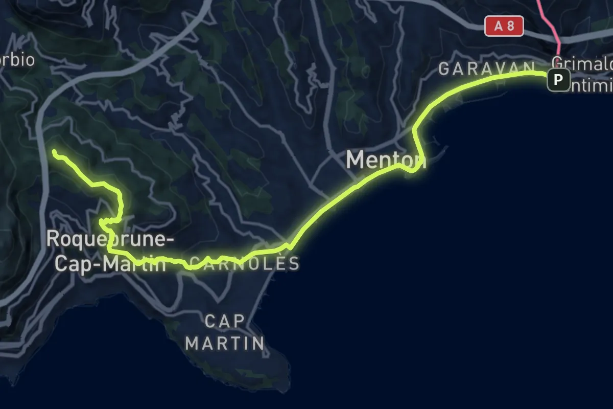
Demanding · Summit
Via Aurelia, Menton - Roquebrune
18.8 km · ↑ 605 m · 5 h 44 min · 9 km away
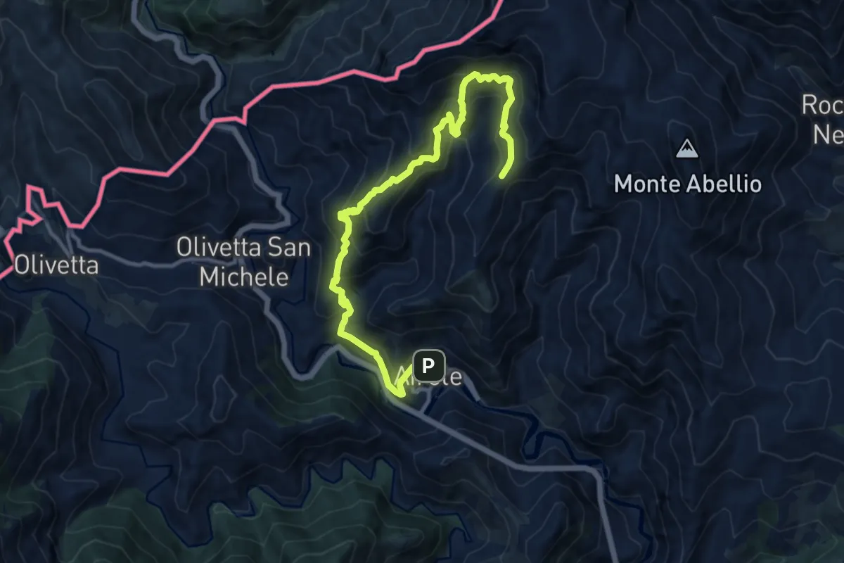
Demanding · Trail
Anello del Colombin
12.4 km · ↑ 1116 m · 5 h 21 min · 9 km away
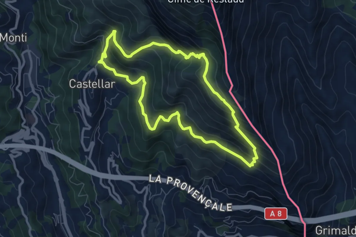
Medium · Summit
Mont Carpano
7.1 km · ↑ 512 m · 2 h 53 min · 9 km away
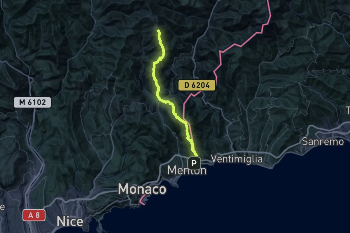
Demanding · Summit
Massif de l'Authion - Menton
63.0 km · ↑ 4840 m · 25 h 22 min · 9 km away
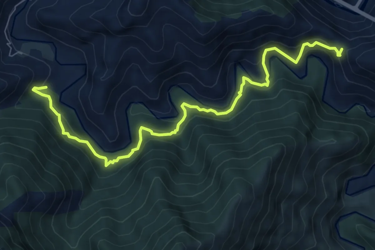
Medium · Trail
Collabassa – Anello del Bossarè
8.3 km · ↑ 566 m · 3 h 11 min · 10 km away
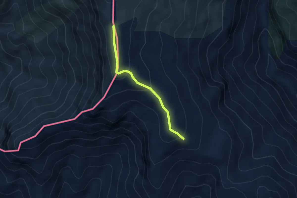
Easy · Trail
La Colla - Colla Sgora
2.9 km · ↑ 160 m · 1 h 2 min · 10 km away
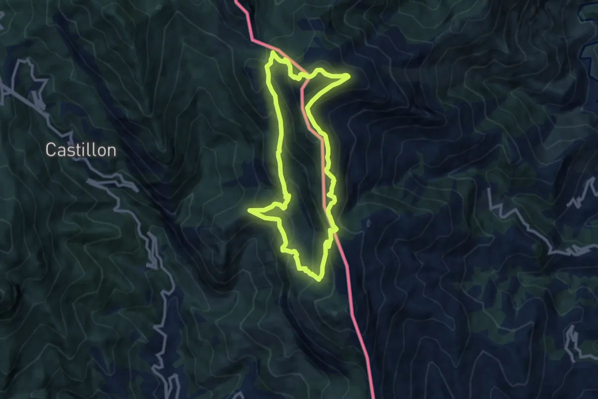
Medium · Summit
Le Grand Mont
8.8 km · ↑ 690 m · 3 h 42 min · 10 km away
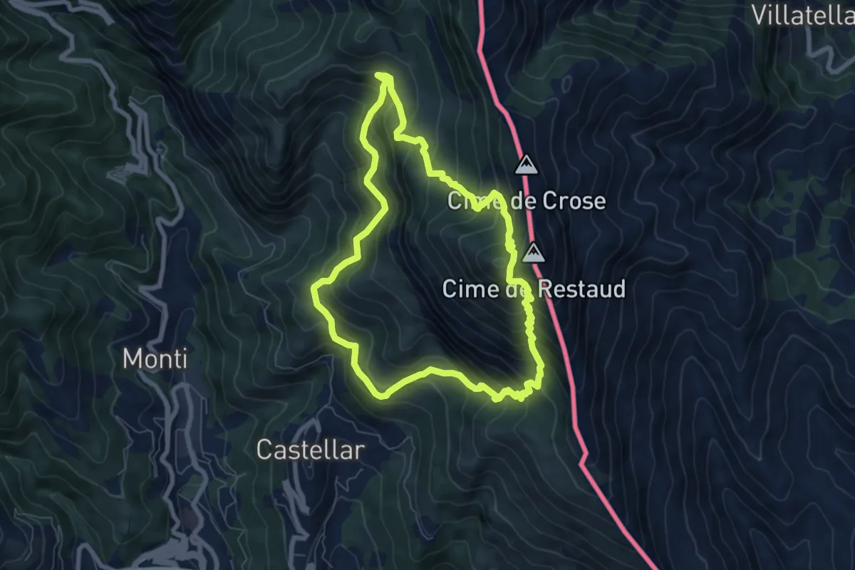
Medium · Summit
Tour du Roc d'Orméa
7.0 km · ↑ 753 m · 3 h 23 min · 10 km away
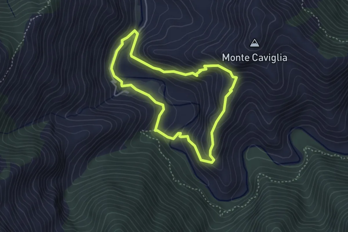
Medium · Trail
Anello di Bossarè
3.4 km · ↑ 228 m · 1 h 20 min · 10 km away
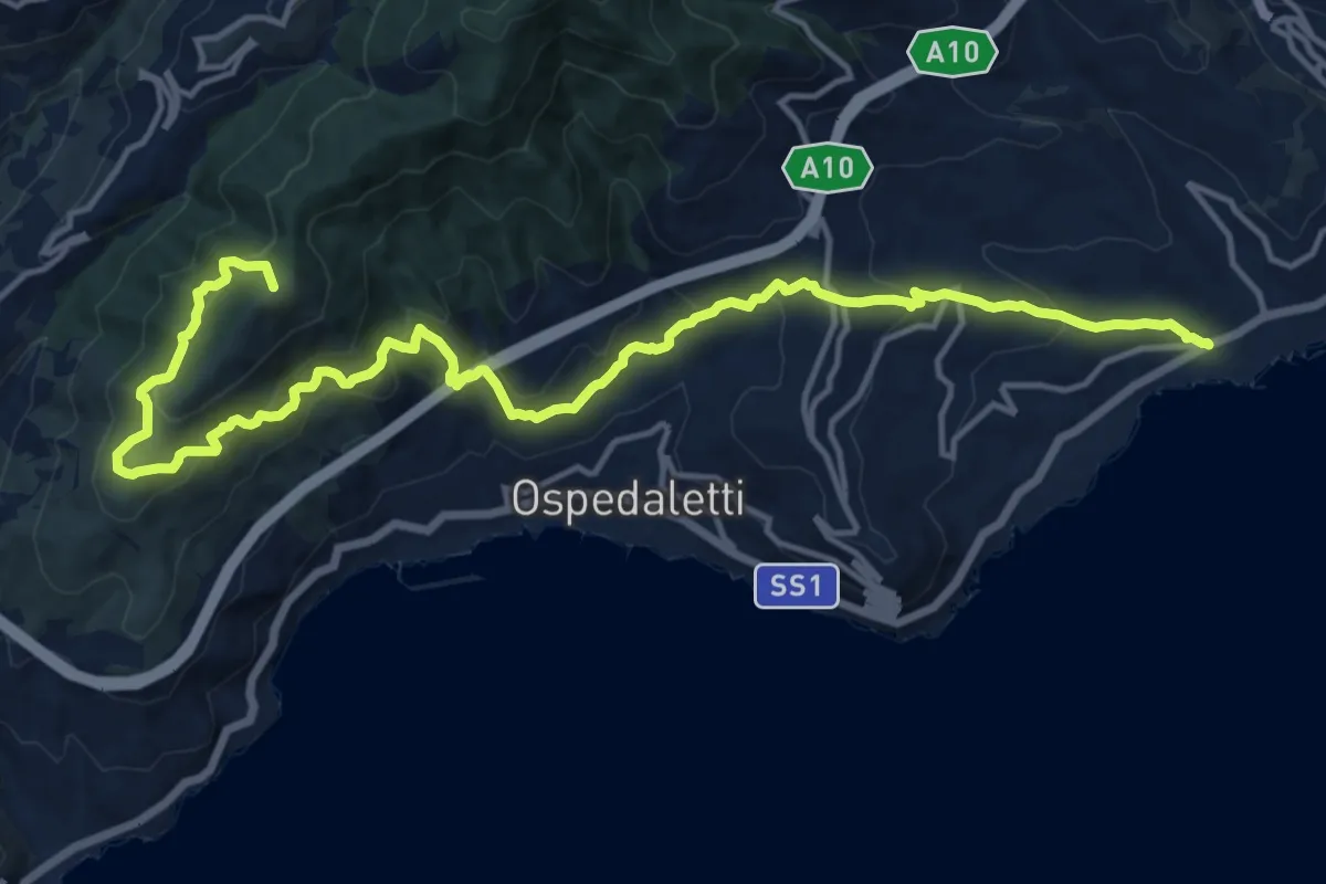
Demanding · Summit
Sentiero Liguria - Tappa 28
19.0 km · ↑ 1239 m · 7 h 11 min · 10 km away
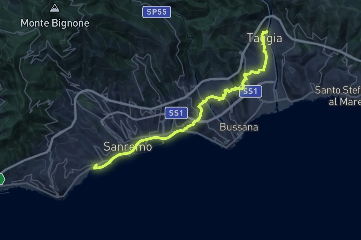
Medium · Trail
Sentiero Liguria - Tappa 27
13.5 km · ↑ 420 m · 4 h 16 min · 10 km away
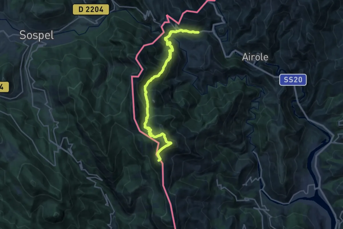
Demanding · Summit
AM0 - ALPI MARE 0
18.6 km · ↑ 1407 m · 7 h 26 min · 11 km away
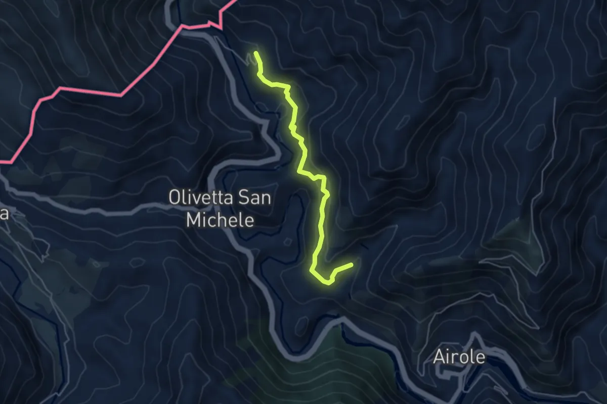
Easy · Trail
Airole – Fanghetto
4.4 km · ↑ 317 m · 1 h 44 min · 11 km away
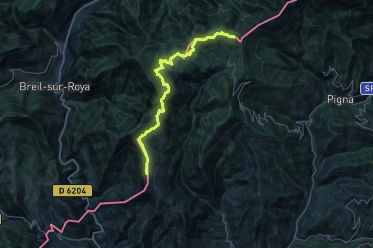
Demanding · Summit
Colla Sgora - Colle Scarassan
22.1 km · ↑ 1015 m · 7 h 25 min · 11 km away
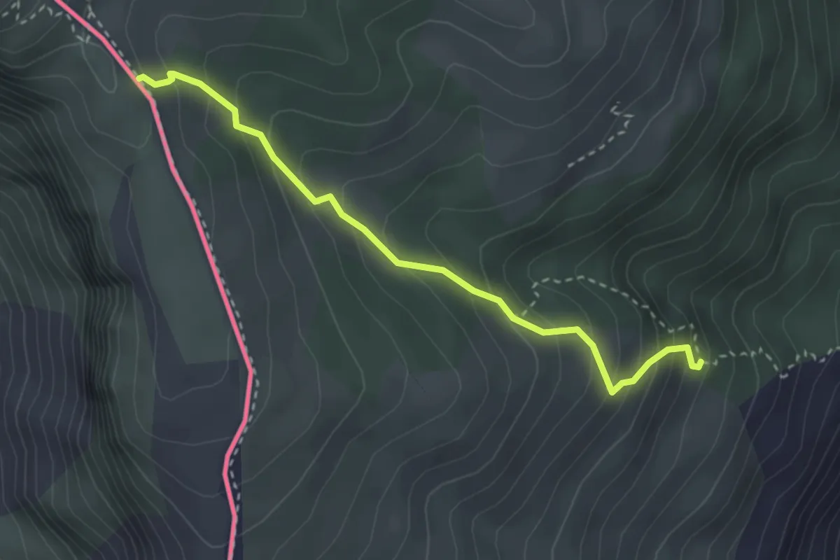
Medium · Trail
Rocchetta Nervina – Fontana Povera
3.3 km · ↑ 334 m · 1 h 30 min · 11 km away
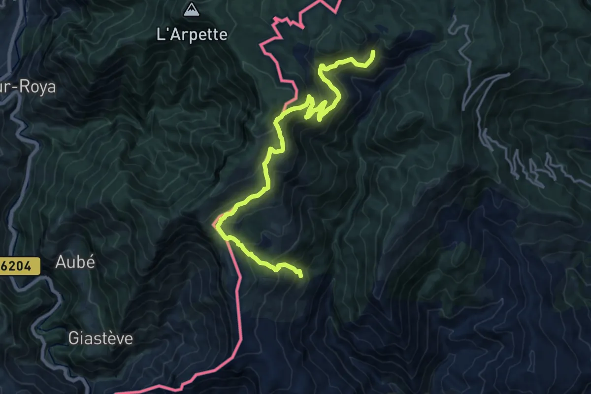
Demanding · Trail
Anello Rocchetta Nervina
16.6 km · ↑ 1287 m · 6 h 42 min · 11 km away
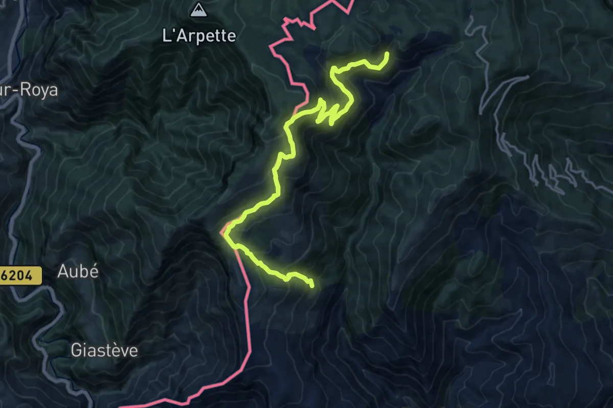
Demanding · Trail
Tour del Parco Alpi Liguri
16.6 km · ↑ 1287 m · 6 h 42 min · 11 km away
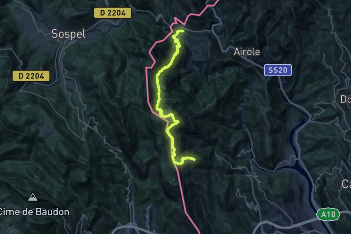
Demanding · Summit
Anello del Gramondo
11.0 km · ↑ 1129 m · 4 h 55 min · 11 km away
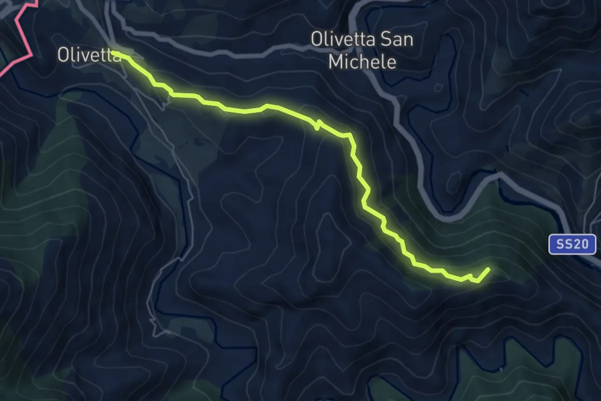
Medium · Summit
Anello del Gramondo
6.1 km · ↑ 338 m · 2 h 11 min · 11 km away
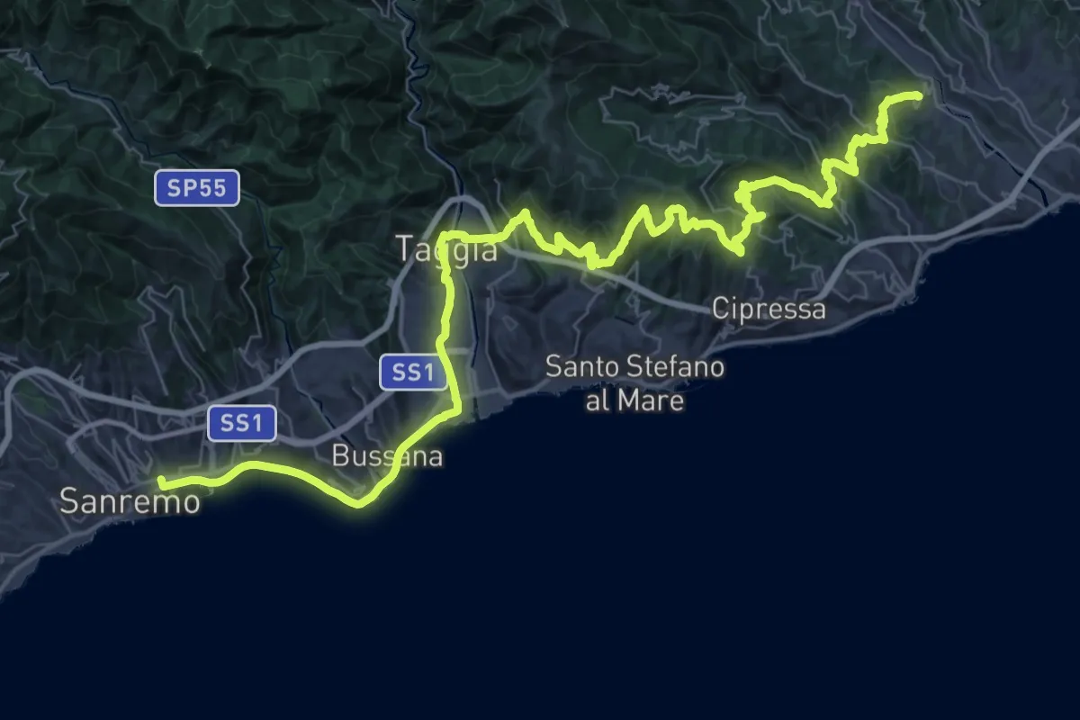
Demanding · Trail
Via della Costa - tappa 2
29.9 km · ↑ 1013 m · 9 h 37 min · 12 km away
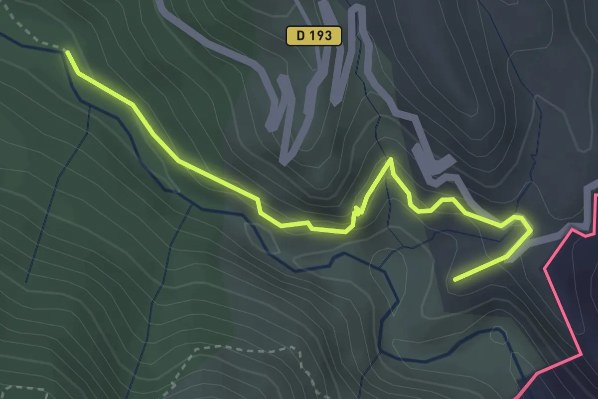
Medium · Summit
Sentier des Huit Vallées
3.5 km · ↑ 330 m · 1 h 33 min · 13 km away
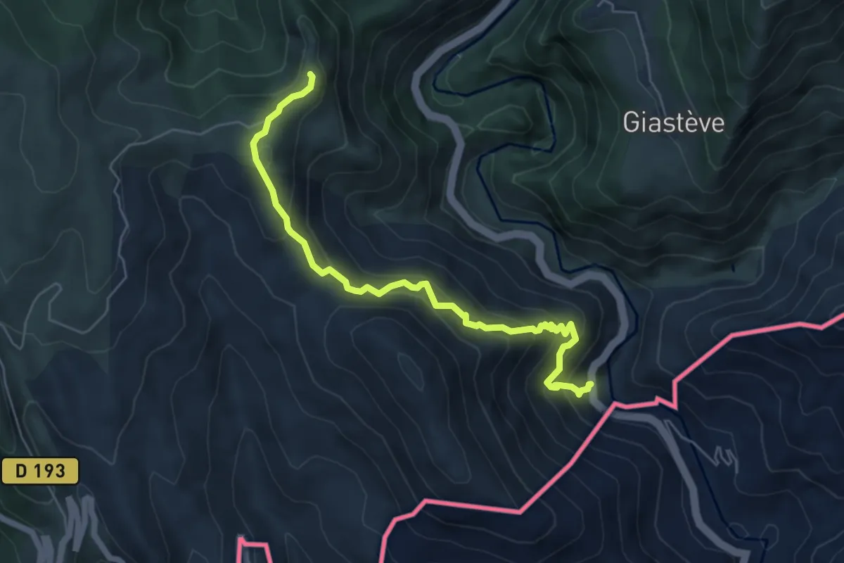
Medium · Trail
Hameau de Piène Haute
3.0 km · ↑ 141 m · 1 h 14 min · 13 km away
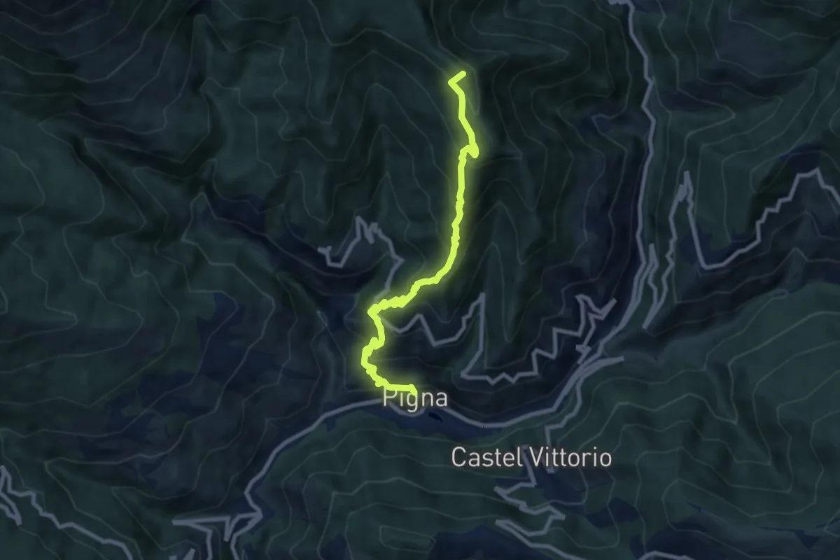
Medium · Summit
Buggio – Pigna
8.2 km · ↑ 777 m · 3 h 37 min · 13 km away
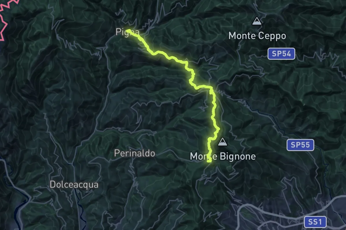
Demanding · Summit
Alpi Mare 1
29.4 km · ↑ 1803 m · 10 h 51 min · 13 km away
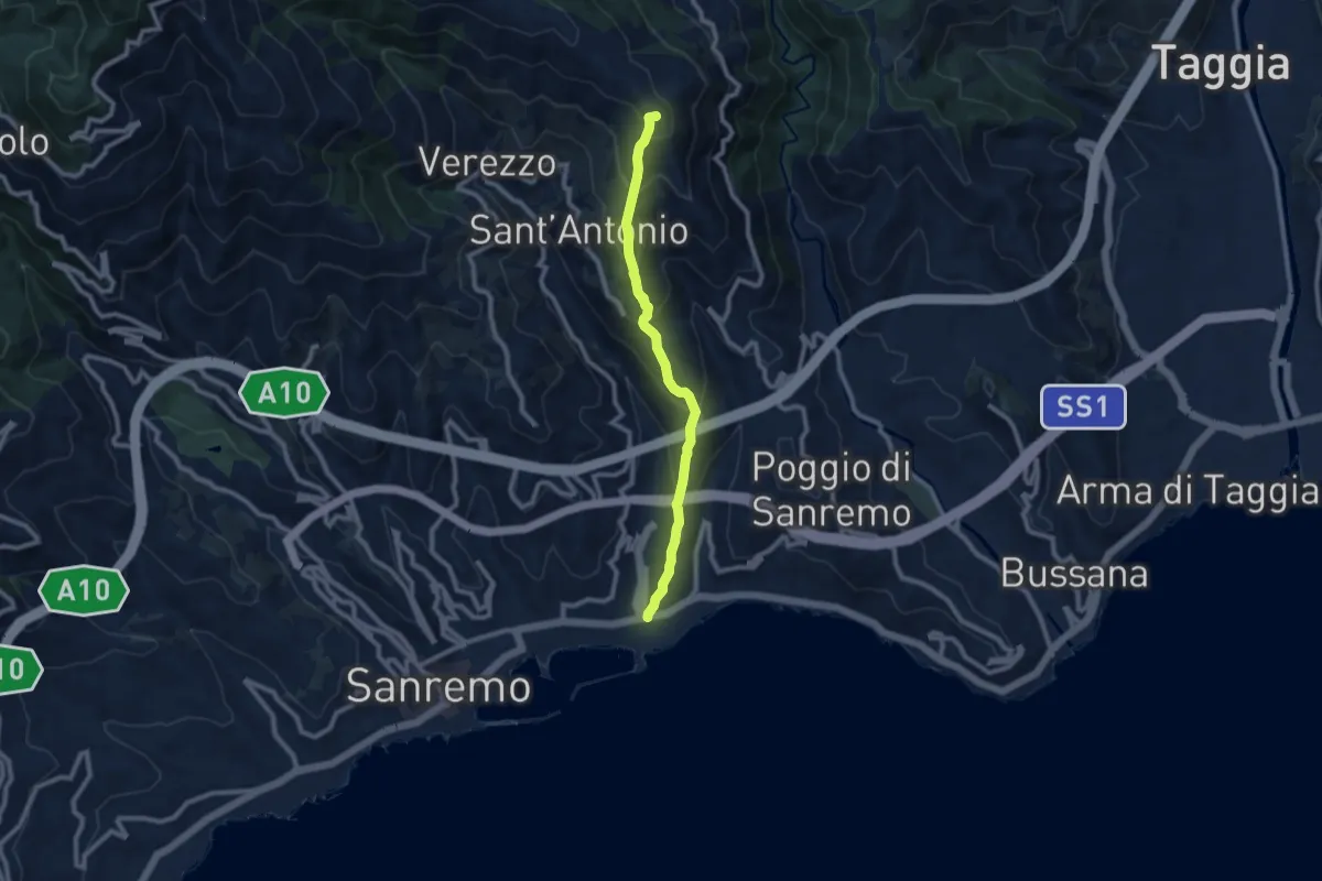
Medium · Summit
Sanremo – Costa Bandita (SL)
8.7 km · ↑ 610 m · 3 h 23 min · 13 km away
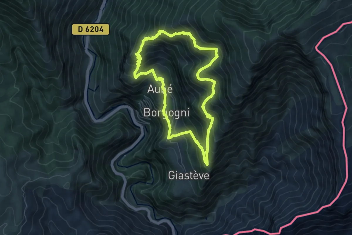
Medium · Trail
Circuit de Libre
6.8 km · ↑ 608 m · 3 h 2 min · 13 km away
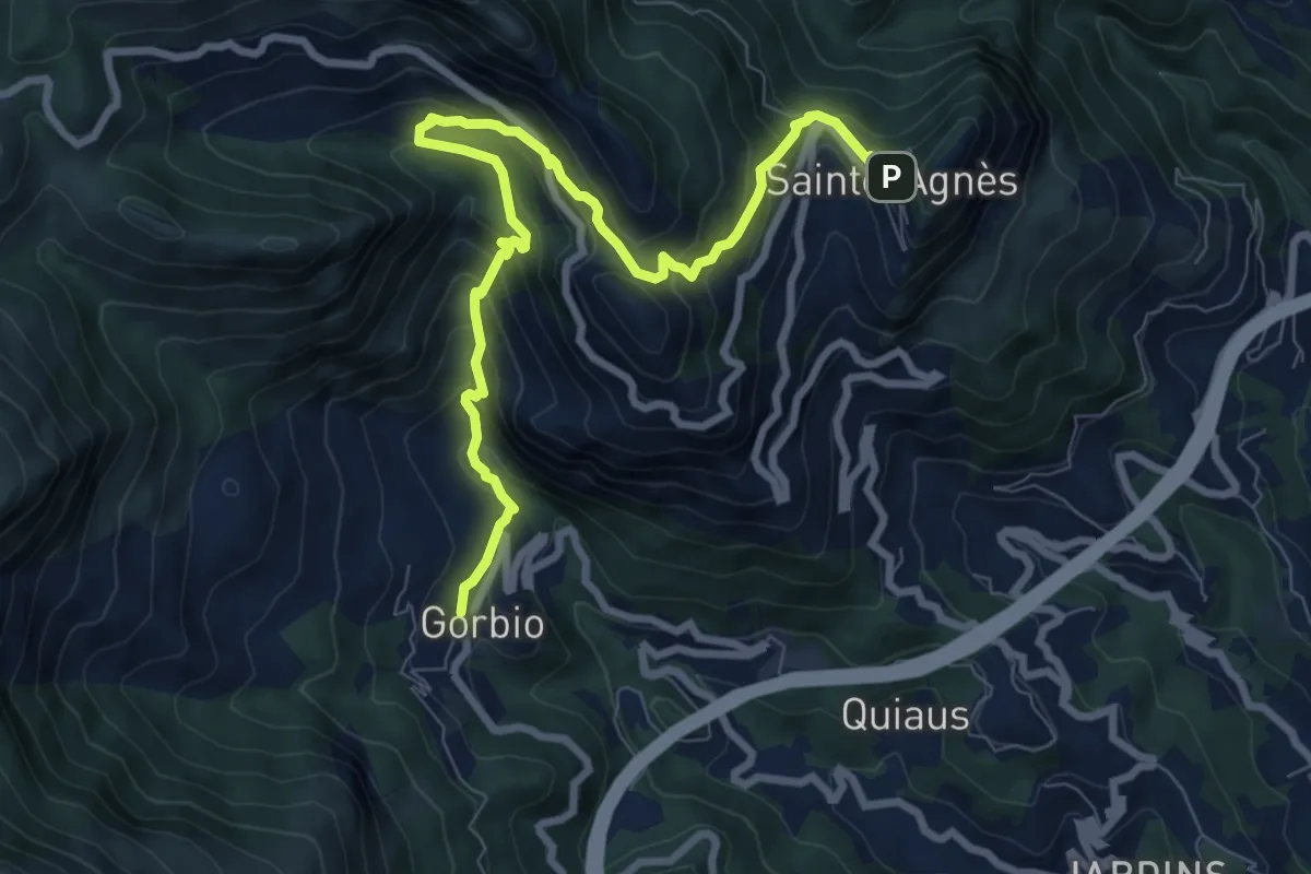
Easy · Trail
Circuit de Bausson
4.8 km · ↑ 256 m · 1 h 54 min · 13 km away
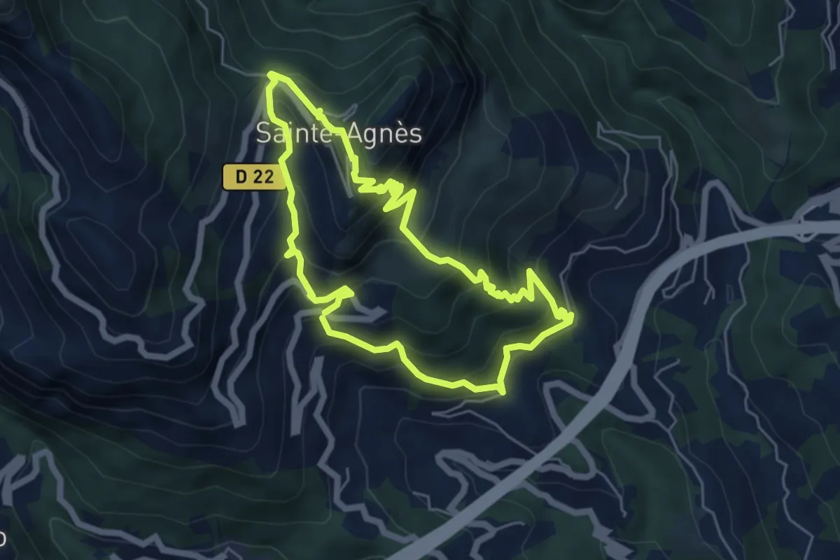
Medium · Trail
Château de Sainte-Agnès
5.2 km · ↑ 482 m · 2 h 21 min · 14 km away
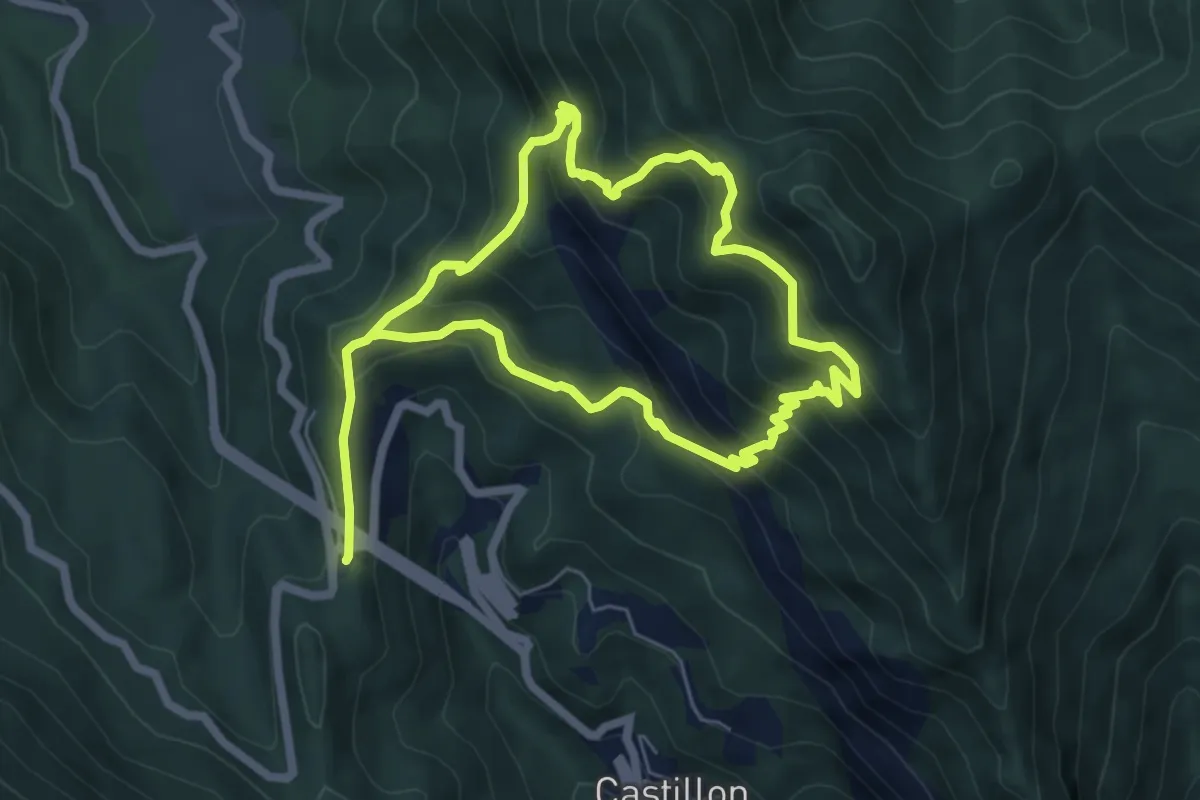
Medium · Summit
Circuit du Razet
5.7 km · ↑ 533 m · 2 h 33 min · 14 km away
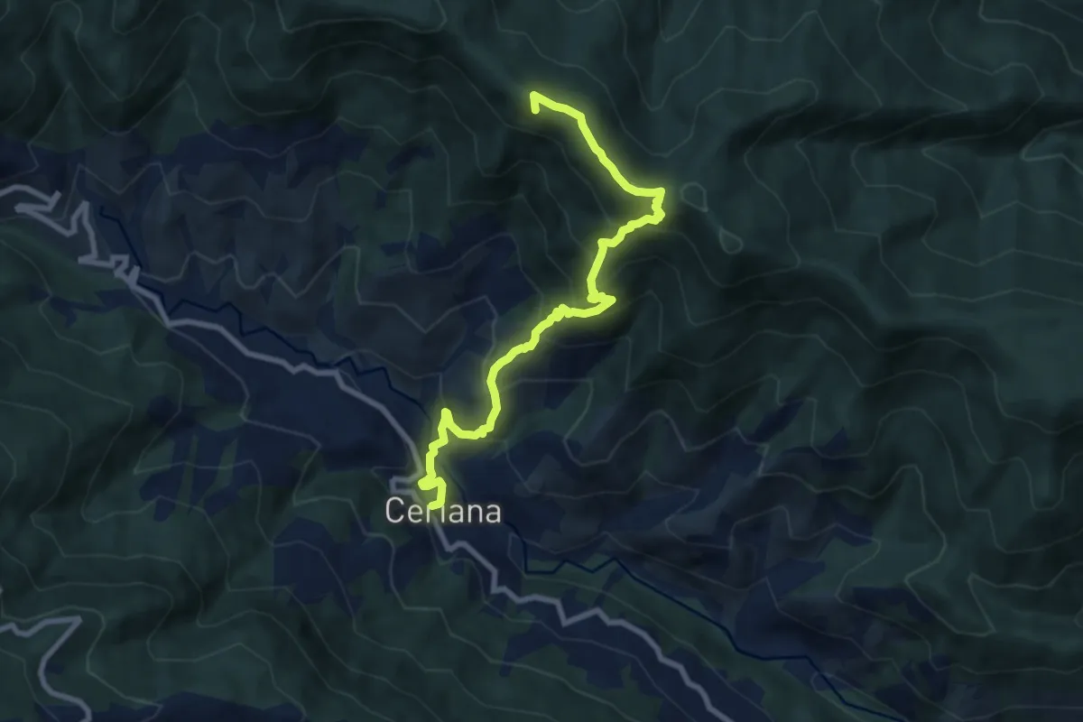
Medium · Summit
Ceriana – Rifugio della Valle del Lago
8.9 km · ↑ 732 m · 3 h 41 min · 14 km away
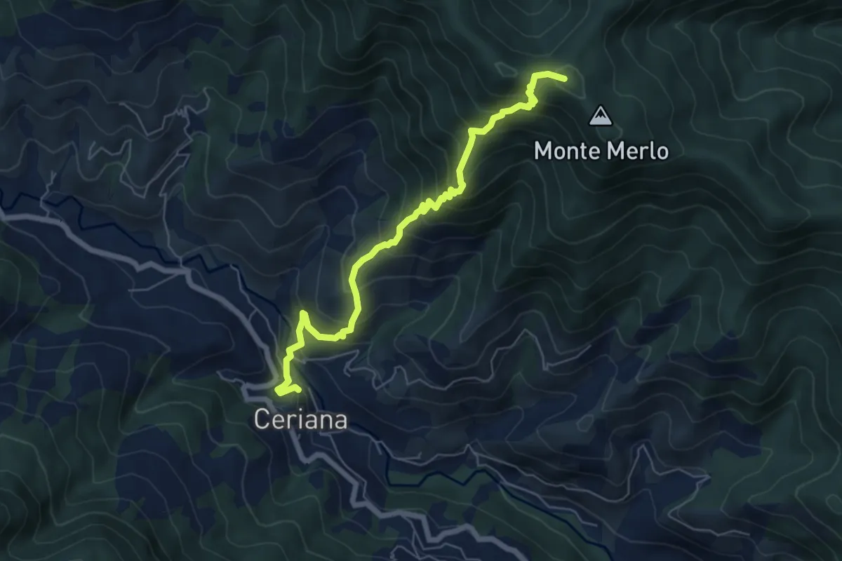
Medium · Summit
Sentiero Balcone Mediterraneo T4
6.4 km · ↑ 684 m · 3 h · 14 km away