Trails near Capena
60 hikes starting within 15 km, nearest first.
Nearest first, page 1 of 2
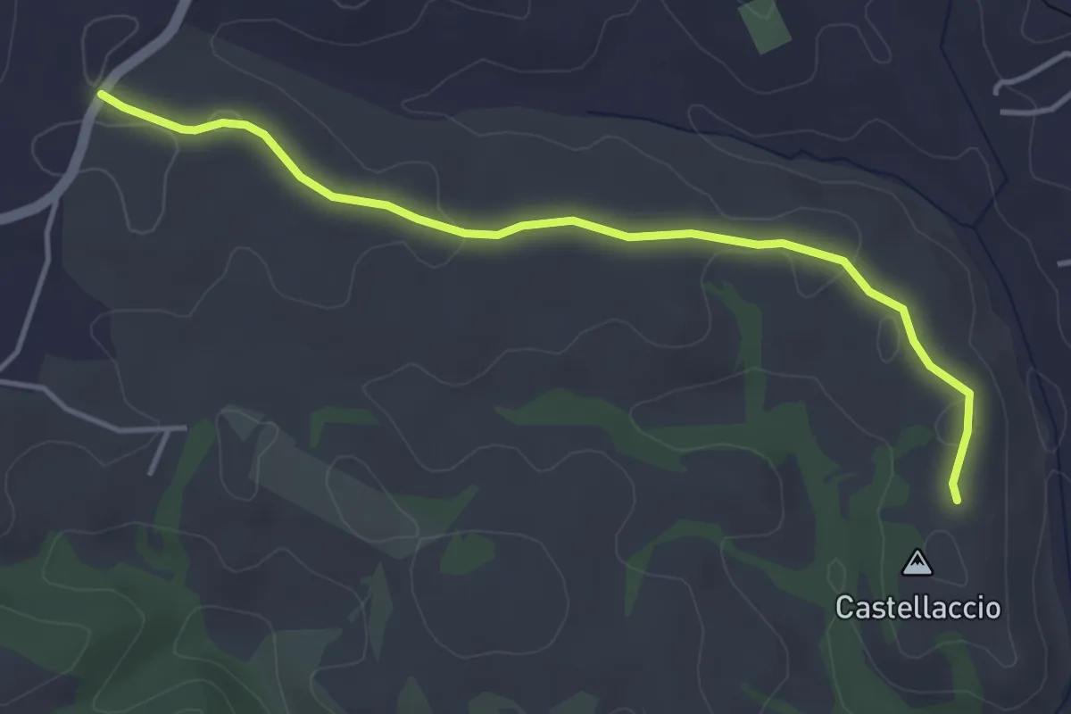
Easy · Trail
Via Campagnanese – Castellaccio
4.5 km · ↑ 50 m · 1 h 10 min · 5 km away
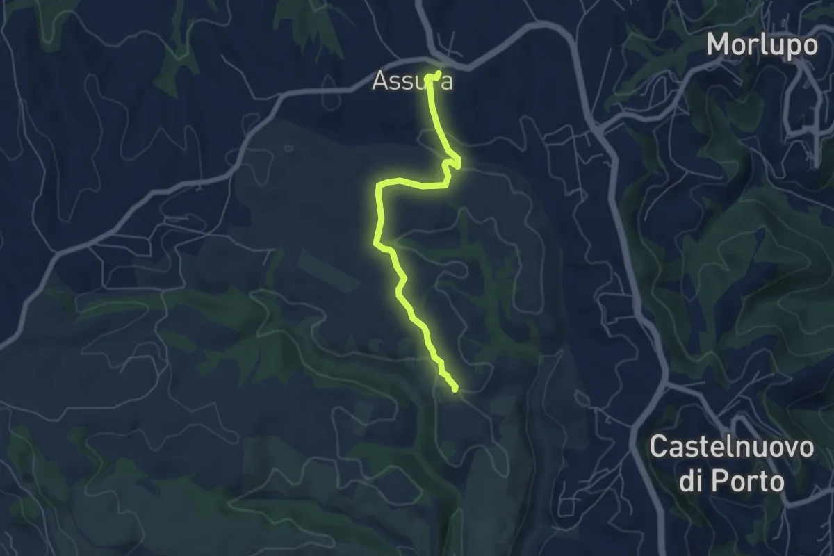
Easy · Trail
Magliano Romano-Fontanile Citerna
5.7 km · ↑ 132 m · 1 h 38 min · 5 km away
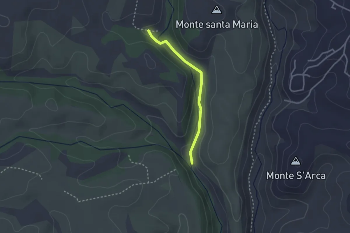
Easy · Trail
Percorso 210C – Percorso 210
2.3 km · ↑ 49 m · 39 min · 6 km away
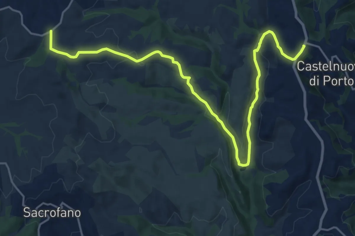
Medium · Trail
Via Campagnanese-Castelnuovo di Porto
16.3 km · ↑ 364 m · 4 h 38 min · 8 km away
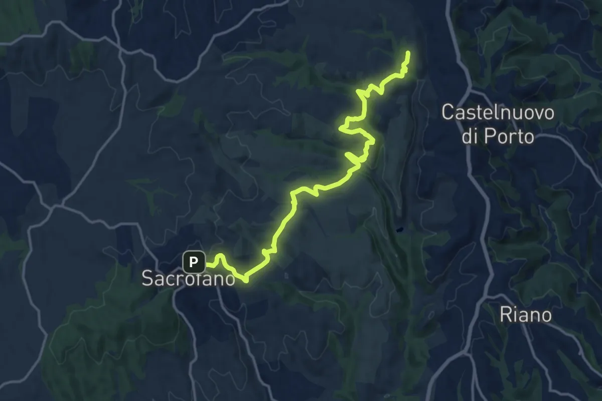
Medium · Summit
Sacrofano – Morlupo
15.9 km · ↑ 441 m · 4 h 43 min · 9 km away
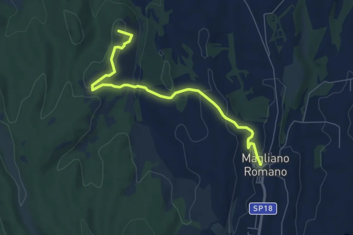
Easy · Summit
Magliano Romano - Casali
6.4 km · ↑ 224 m · 2 h · 9 km away
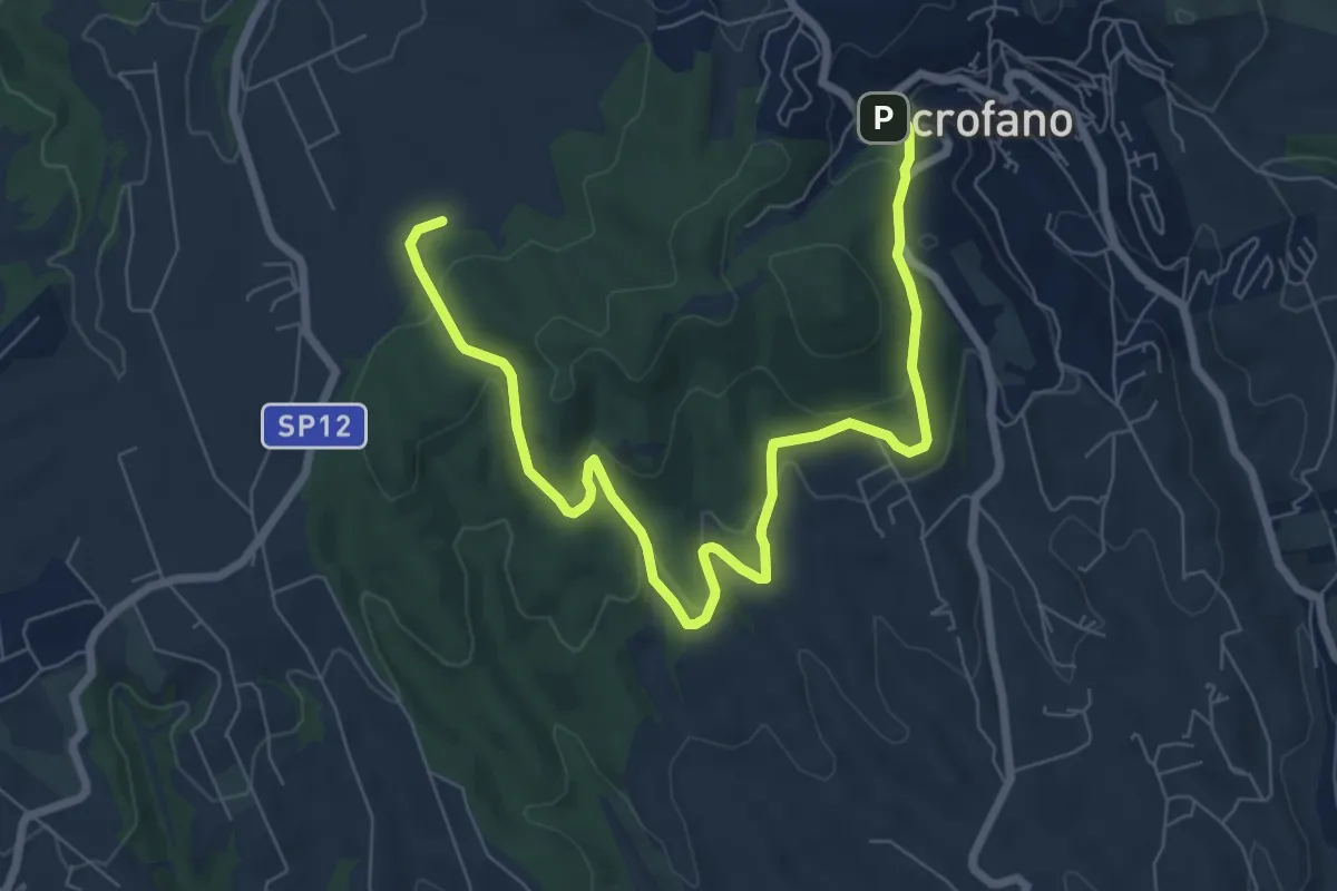
Medium · Trail
Strada Prima Porta-Monte Quadraro
9.7 km · ↑ 325 m · 3 h · 9 km away
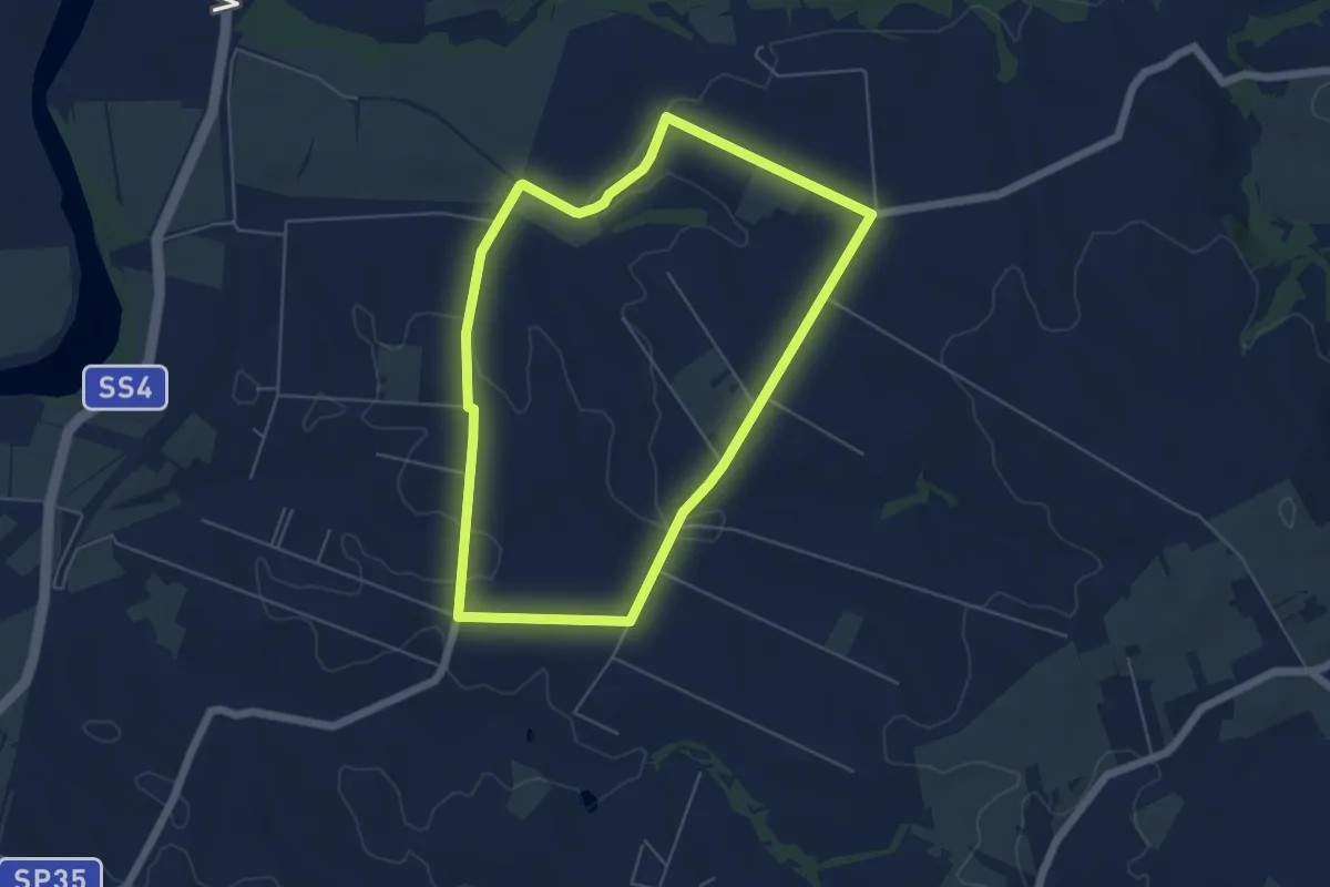
Easy · Trail
Percorso dei Cavalli Bianchi
5.8 km · ↑ 61 m · 1 h 35 min · 10 km away
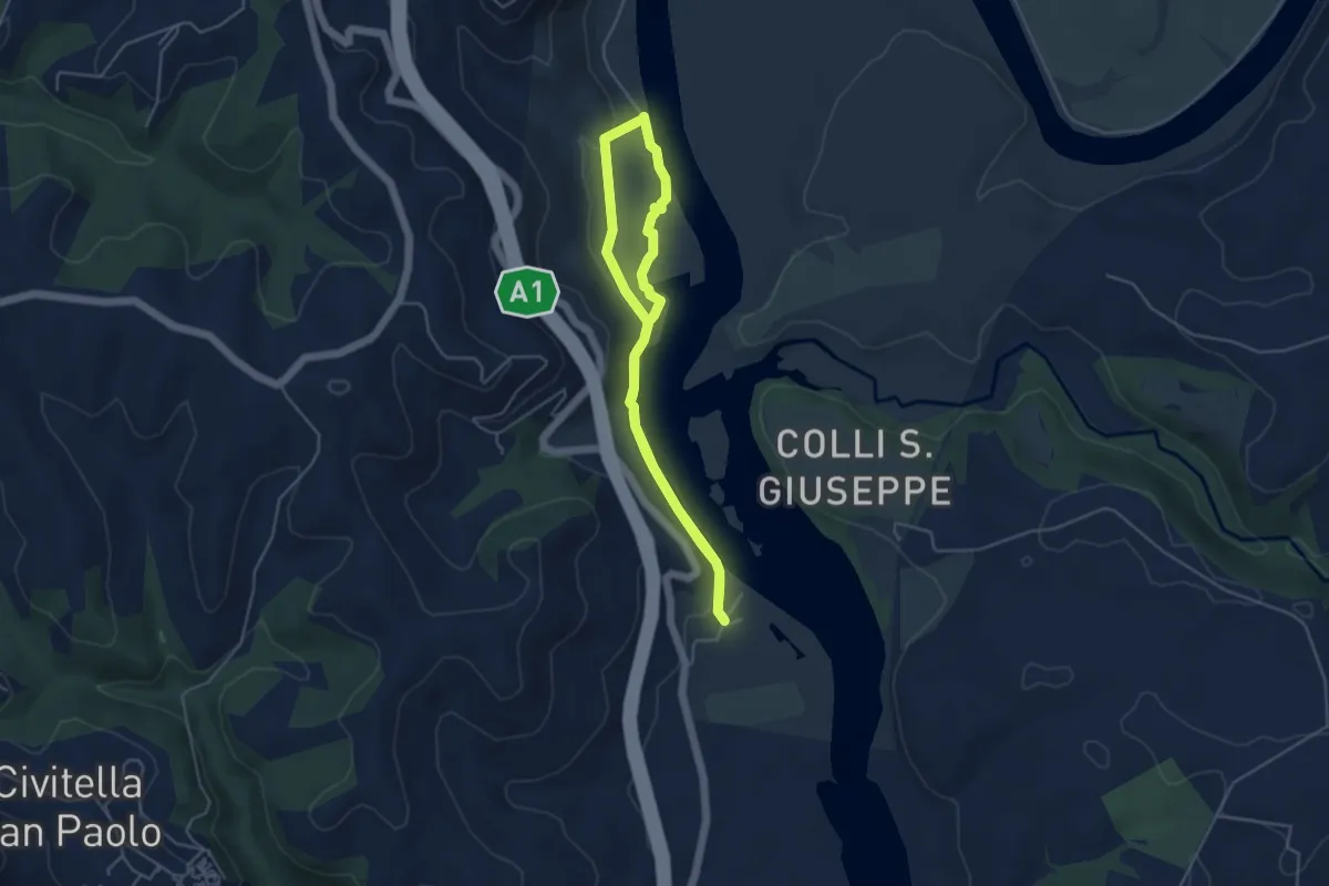
Easy · Trail
Sentiero della Fornace
4.3 km · ↑ 69 m · 1 h 14 min · 10 km away
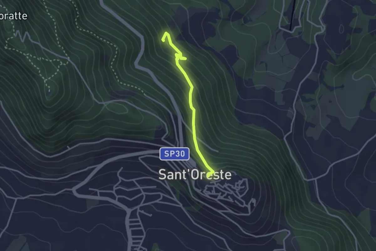
Easy · Trail
Santa Romana e dei Meri
2.6 km · ↑ 193 m · 1 h 2 min · 11 km away
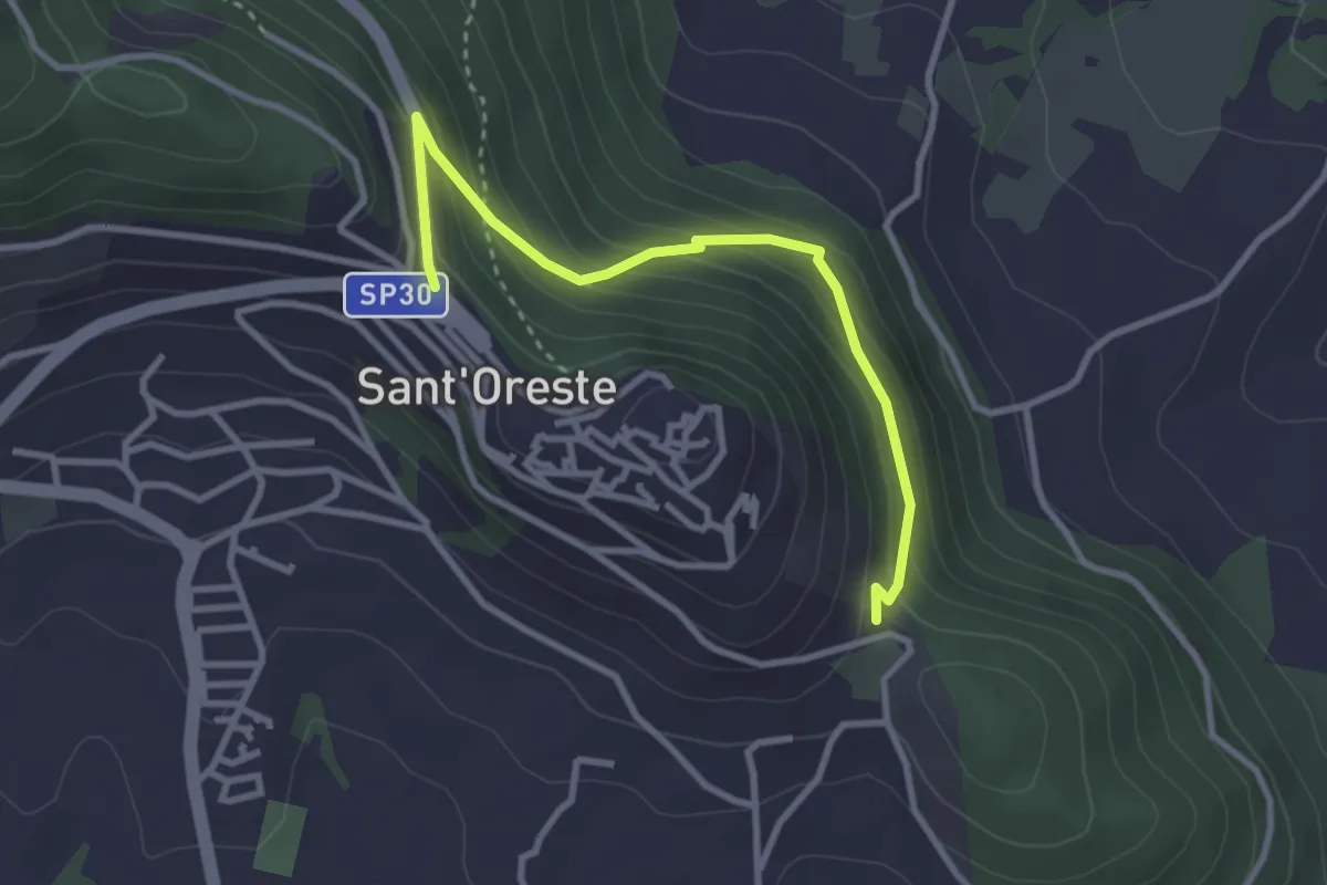
Easy · Trail
Percorso Sant'Edisto - Santo Stefano – Sant’Uberto
3.4 km · ↑ 244 m · 1 h 20 min · 11 km away
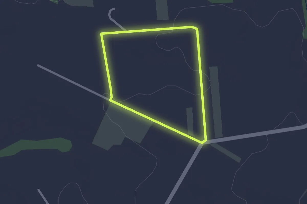
Easy · Trail
Percorso dei Salici
1.8 km · ↑ 23 m · 30 min · 11 km away
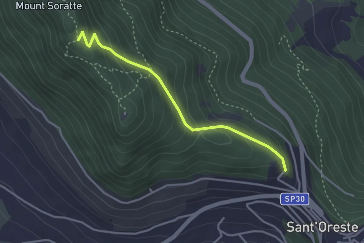
Easy · Trail
Madonna delle Grazie
3.0 km · ↑ 199 m · 1 h 8 min · 11 km away
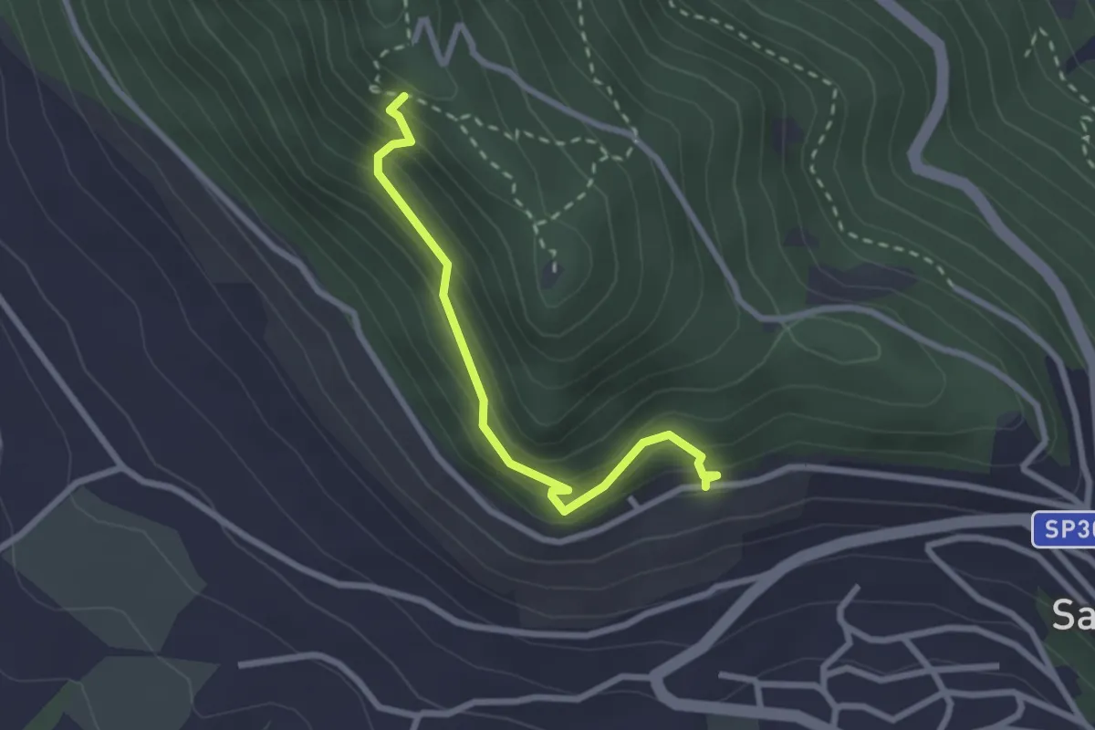
Easy · Trail
Alta Via
2.6 km · ↑ 249 m · 1 h 9 min · 11 km away
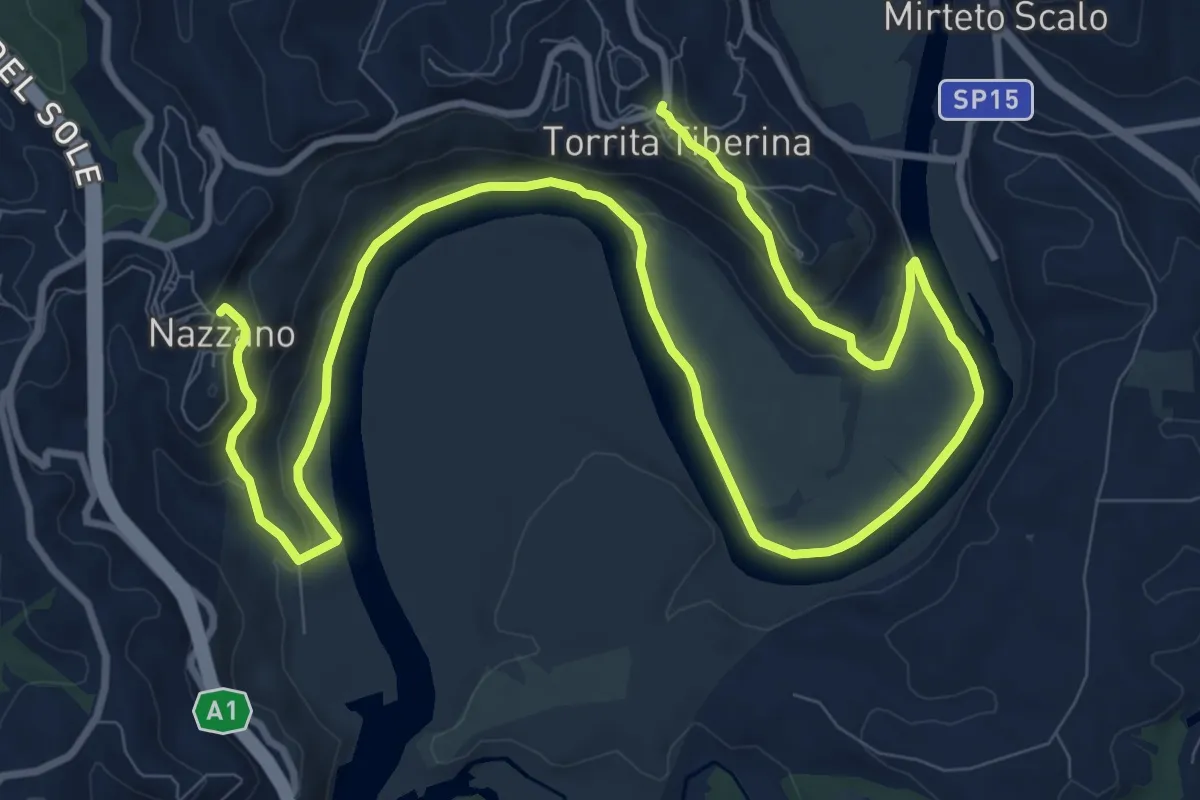
Medium · Trail
Nazzano Via F. Cavalletti – Torrita Tiberina Borgo del Popolo - SP15a
17.2 km · ↑ 400 m · 4 h 55 min · 11 km away
Easy · Trail
Percorso del Miele
1.8 km · ↑ 22 m · 30 min · 11 km away
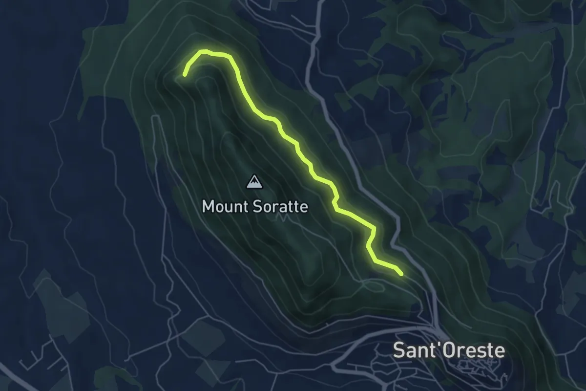
Expert · Trail
Percorso Vita
5.3 km · ↑ 198 m · 1 h 40 min · 11 km away
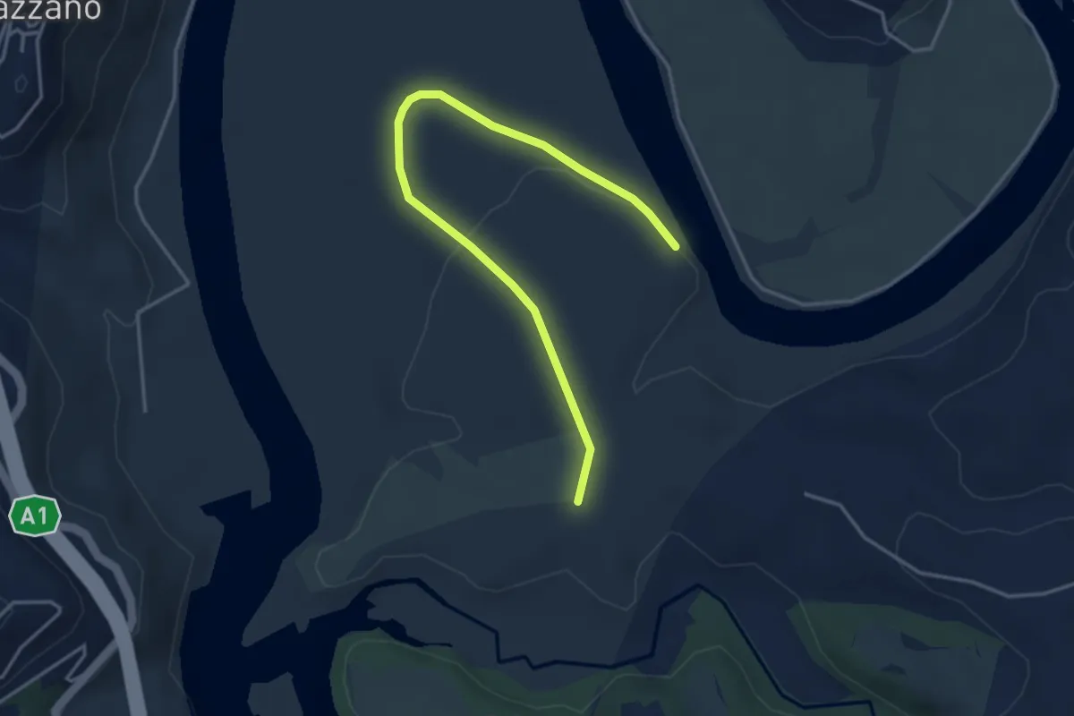
Easy · Trail
Bivio inferiore sent. 391 – Bivio superiore sent. 391
4.5 km · ↑ 33 m · 1 h 8 min · 11 km away
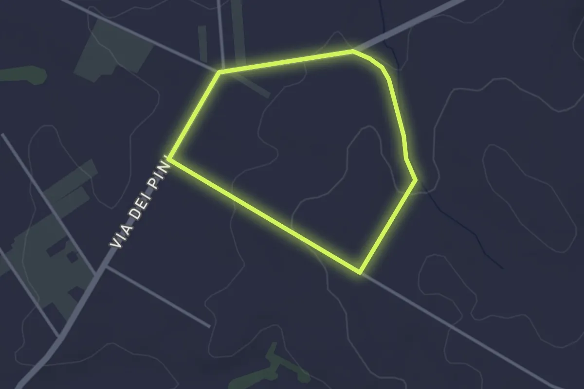
Easy · Trail
Percorso del Garibaldino
2.6 km · ↑ 47 m · 45 min · 12 km away
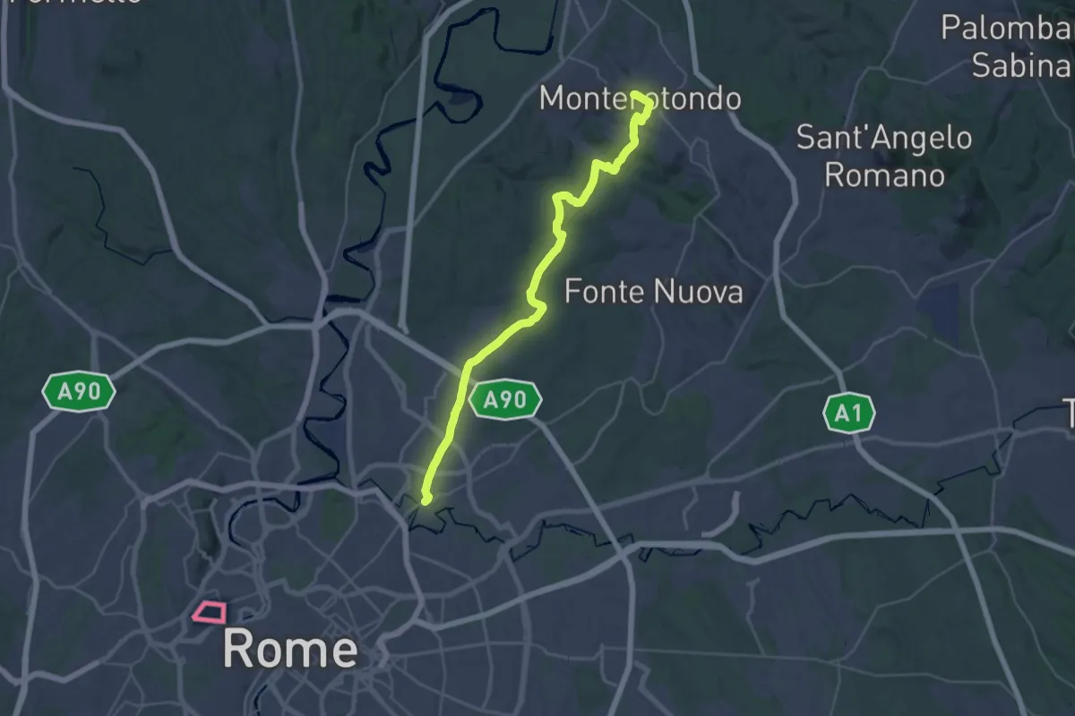
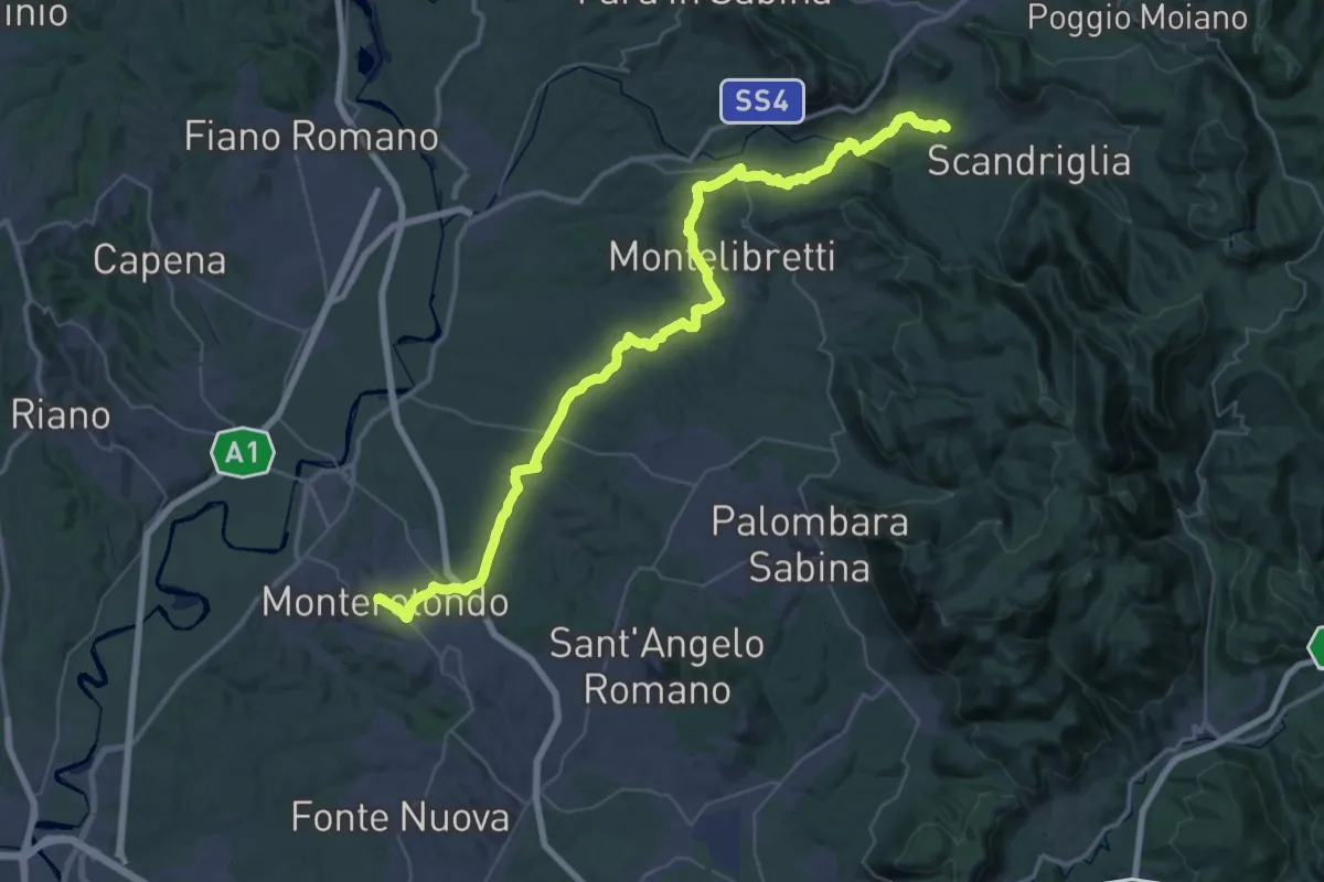
Demanding · Trail
Via di Francesco/Via del SUD - Tappa 2
18.5 km · ↑ 245 m · 5 h 13 min · 12 km away
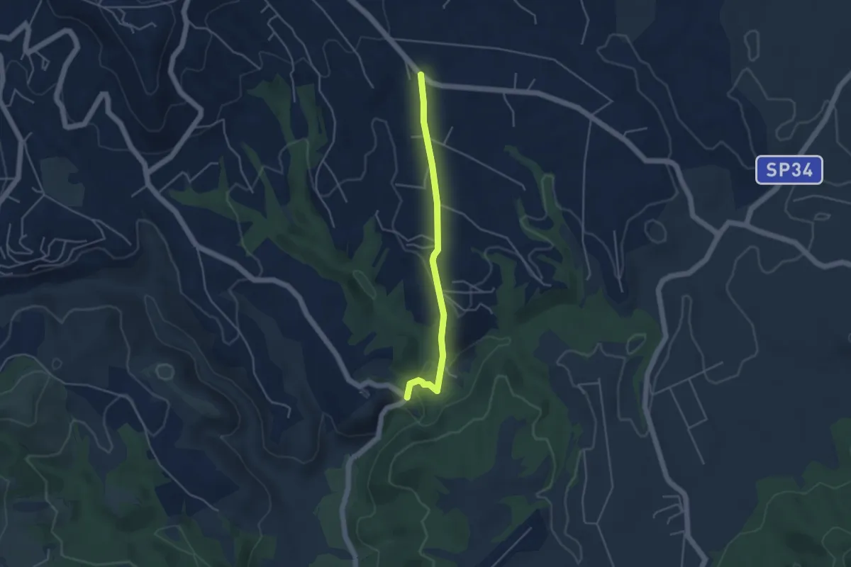
Demanding · Trail
Via di Francesco/Via del SUD - Tappa 3
30.0 km · ↑ 690 m · 8 h 54 min · 12 km away
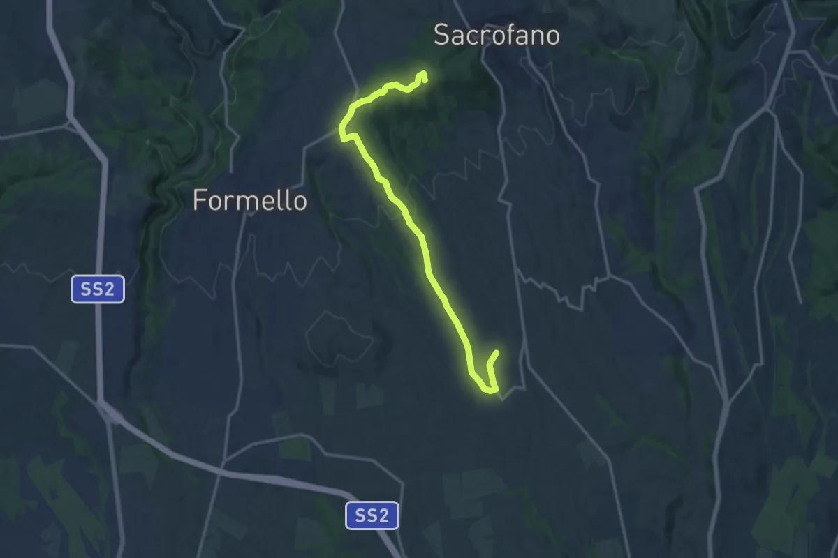
Easy · Trail
sp 10A (provinciale Sacrofano) – Santuario Madonna del Sorbo
4.2 km · ↑ 109 m · 1 h 13 min · 12 km away
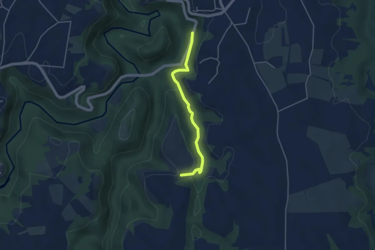
Medium · Summit
Sacrofano-Pacifico
14.7 km · ↑ 308 m · 4 h 8 min · 12 km away
Easy · Trail
I Tufi
3.5 km · ↑ 150 m · 1 h 9 min · 12 km away
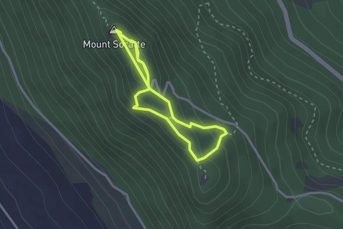
Medium · Summit
Sentiro degli Eremi
2.1 km · ↑ 102 m · 43 min · 12 km away
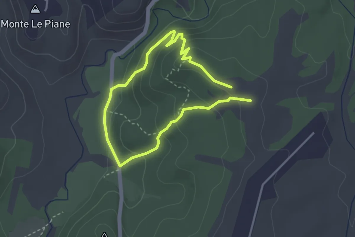
Easy · Summit
Valle del Sorbo
2.5 km · ↑ 134 m · 54 min · 12 km away
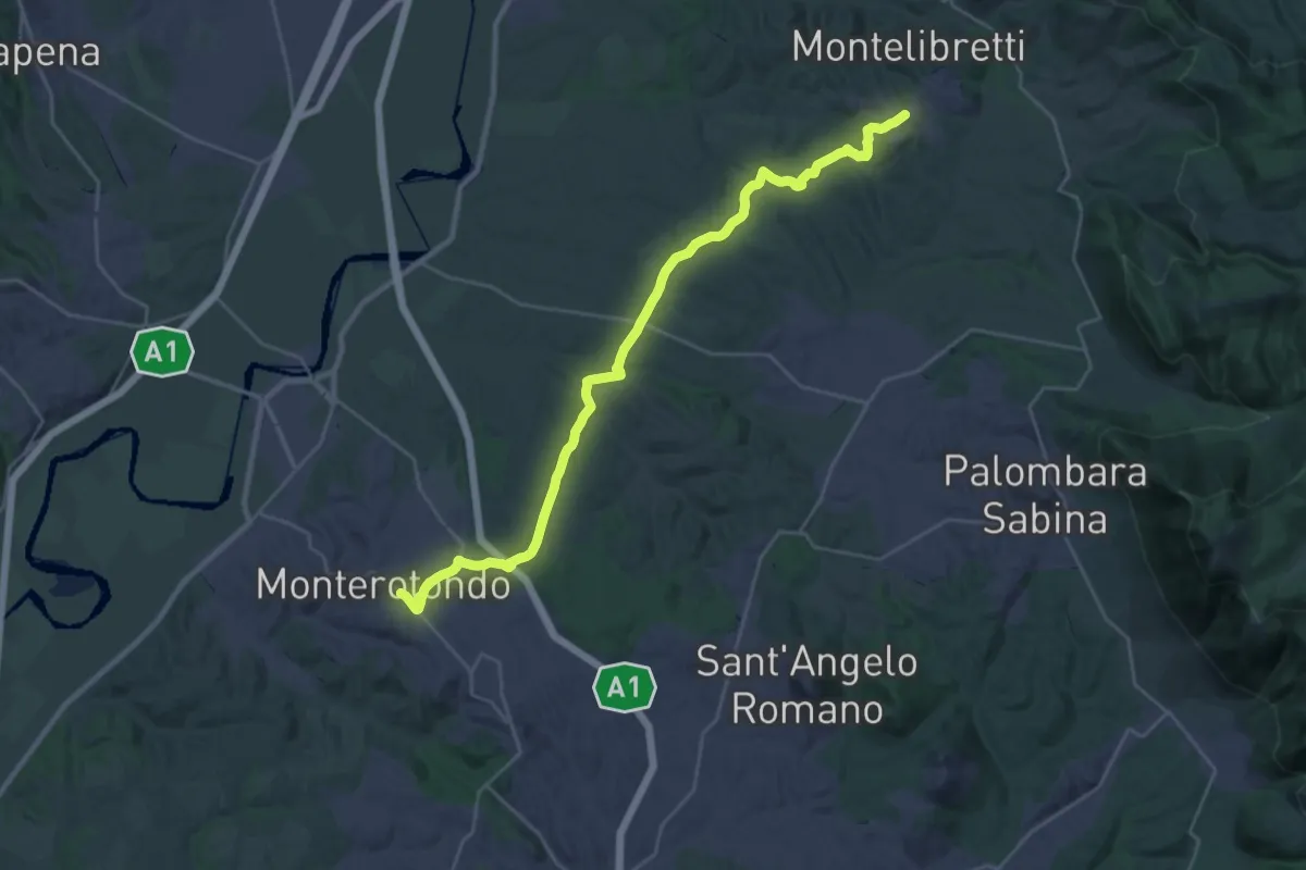
Medium · Trail
Montelibretti – Monterotondo
16.4 km · ↑ 287 m · 4 h 40 min · 12 km away
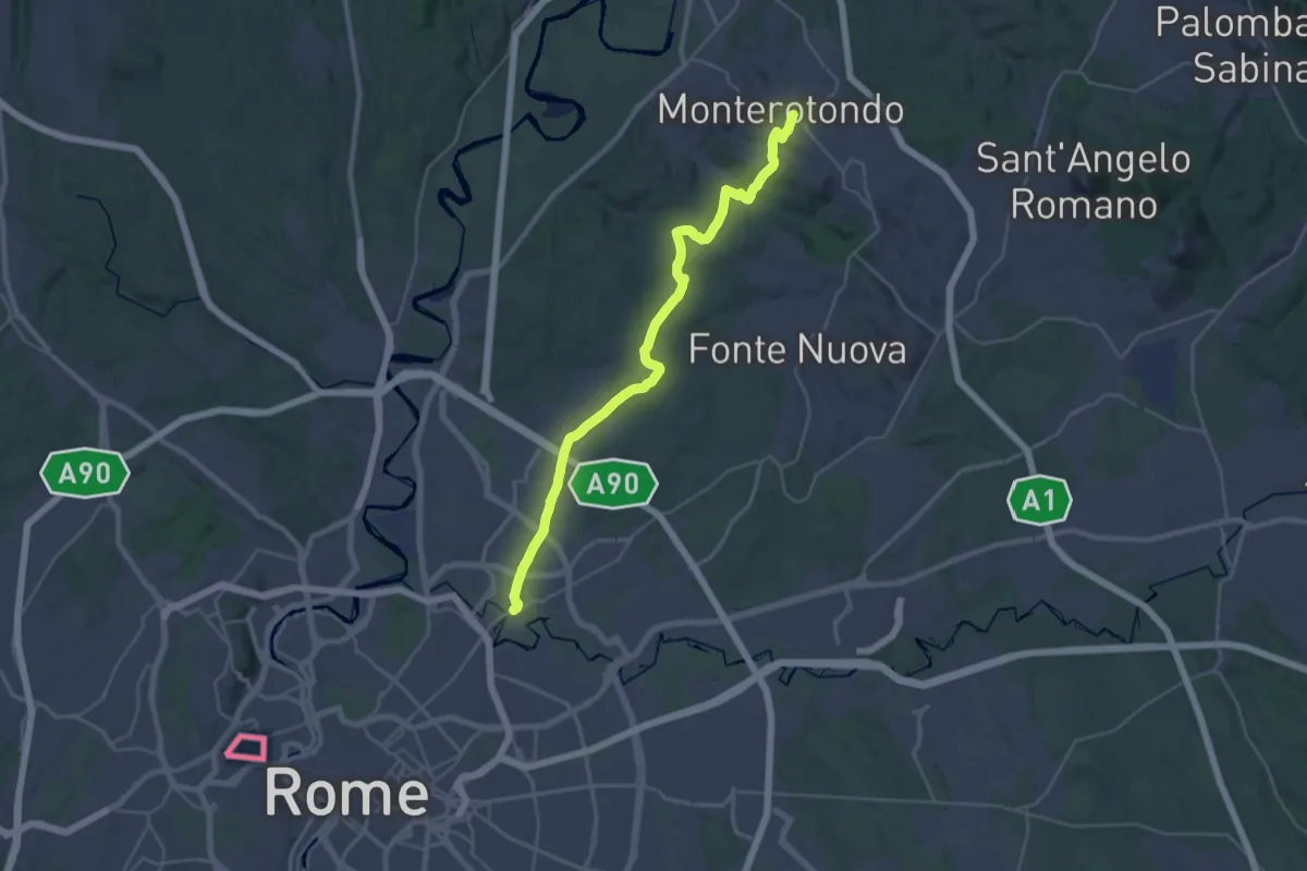
Medium · Trail
Monterotondo – Roma Monte Sacro
17.9 km · ↑ 259 m · 5 h 6 min · 12 km away
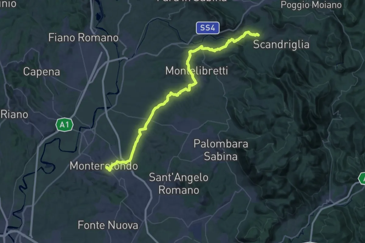
Demanding · Trail
Via di Francesco - Tappa 20
29.4 km · ↑ 691 m · 8 h 45 min · 12 km away
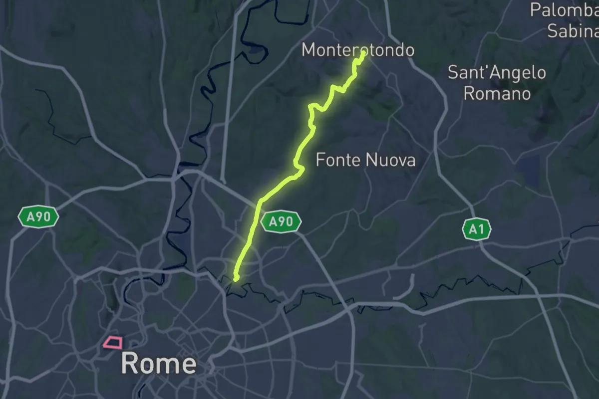
Medium · Trail
Via di Francesco - Tappa 21
17.9 km · ↑ 253 m · 5 h 5 min · 12 km away
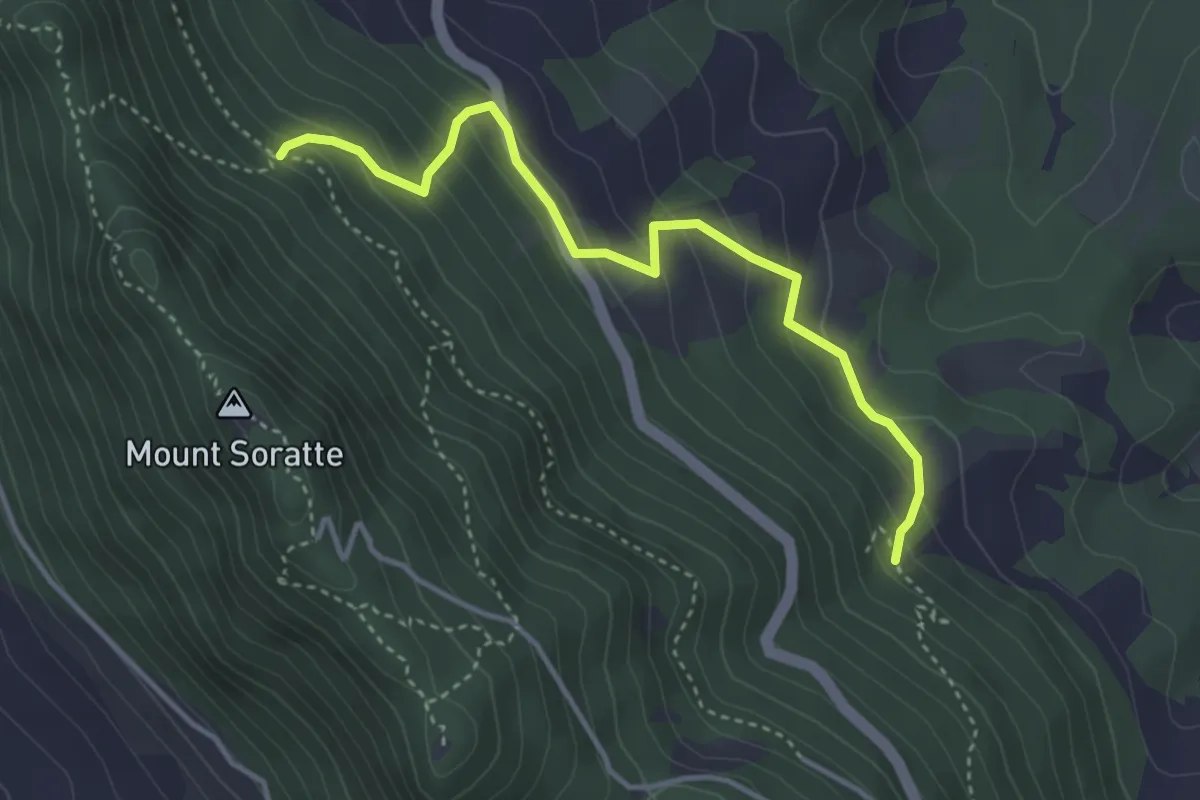
Easy · Trail
203 Santa Romana – 202 Percorso Vita
4.1 km · ↑ 285 m · 1 h 35 min · 13 km away
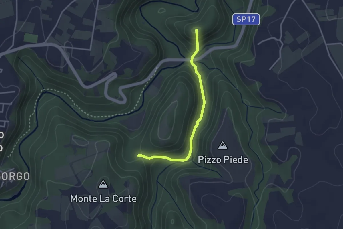
Easy · Summit
Monte li Santi
2.8 km · ↑ 130 m · 57 min · 13 km away
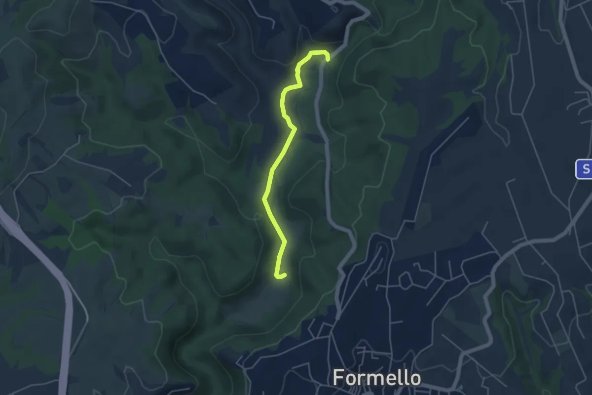
Easy · Trail
Strada del Sorbo- Collina ARSIAL
4.1 km · ↑ 32 m · 1 h 2 min · 13 km away
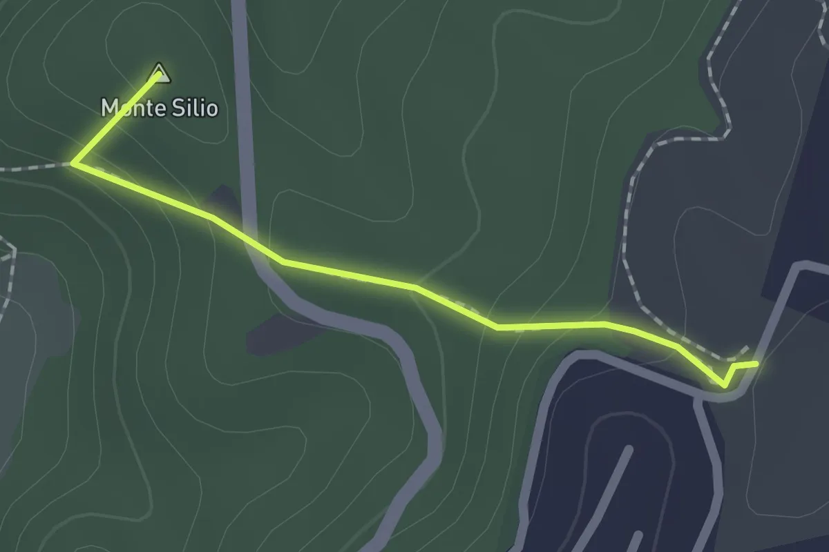
Easy · Summit
Fosso della Mola di Formello – Formello
1.7 km · ↑ 84 m · 35 min · 13 km away
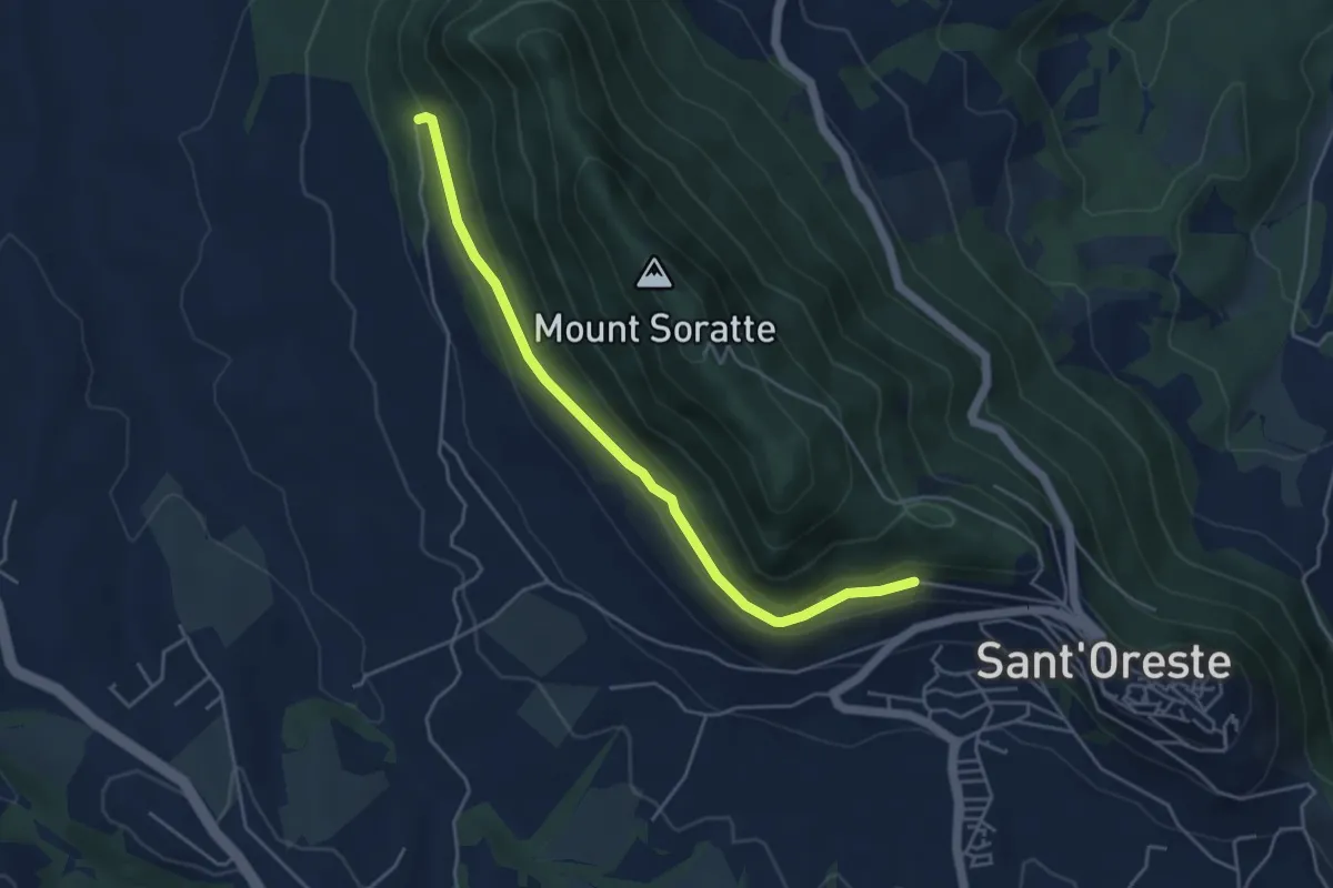
Easy · Trail
Strada Militare
4.9 km · ↑ 100 m · 1 h 22 min · 13 km away
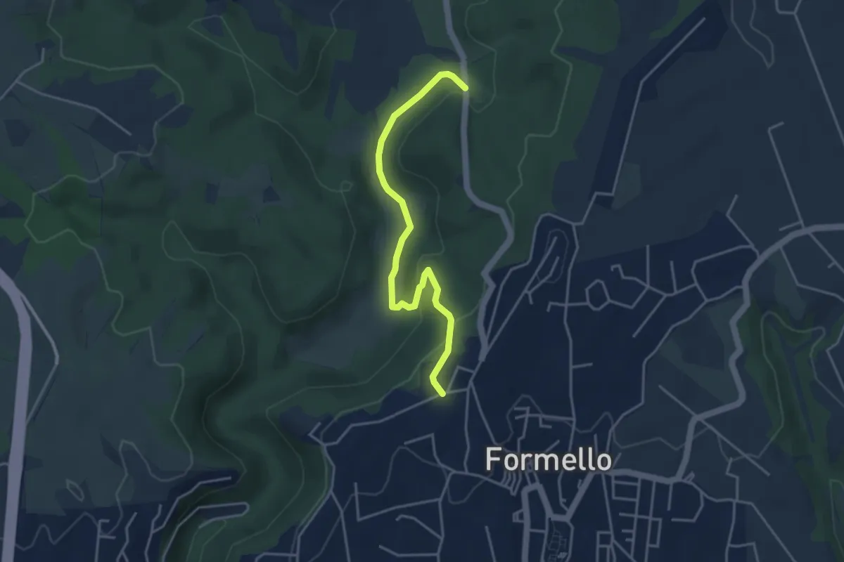
Easy · Trail
Strada del Sorbo (sent 207) – Mola di Formello (innesto 207A)
4.2 km · ↑ 134 m · 1 h 17 min · 13 km away
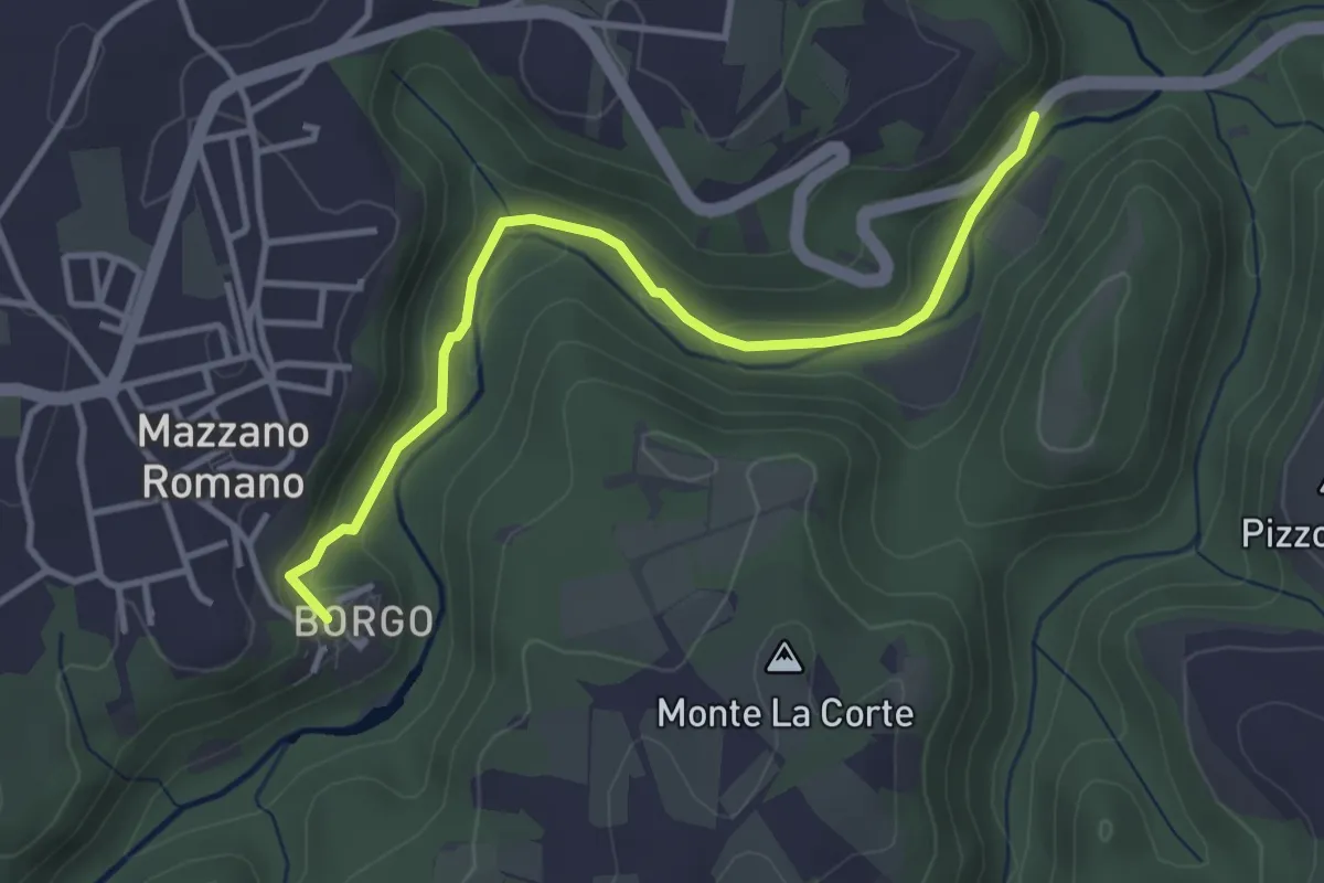
Easy · Trail
Fossi della Mola di Monte Gelato
3.9 km · ↑ 95 m · 1 h 7 min · 13 km away
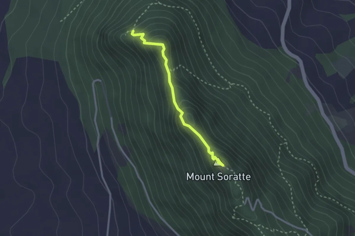
Demanding · Summit
Le Grotte
2.4 km · ↑ 186 m · 58 min · 13 km away
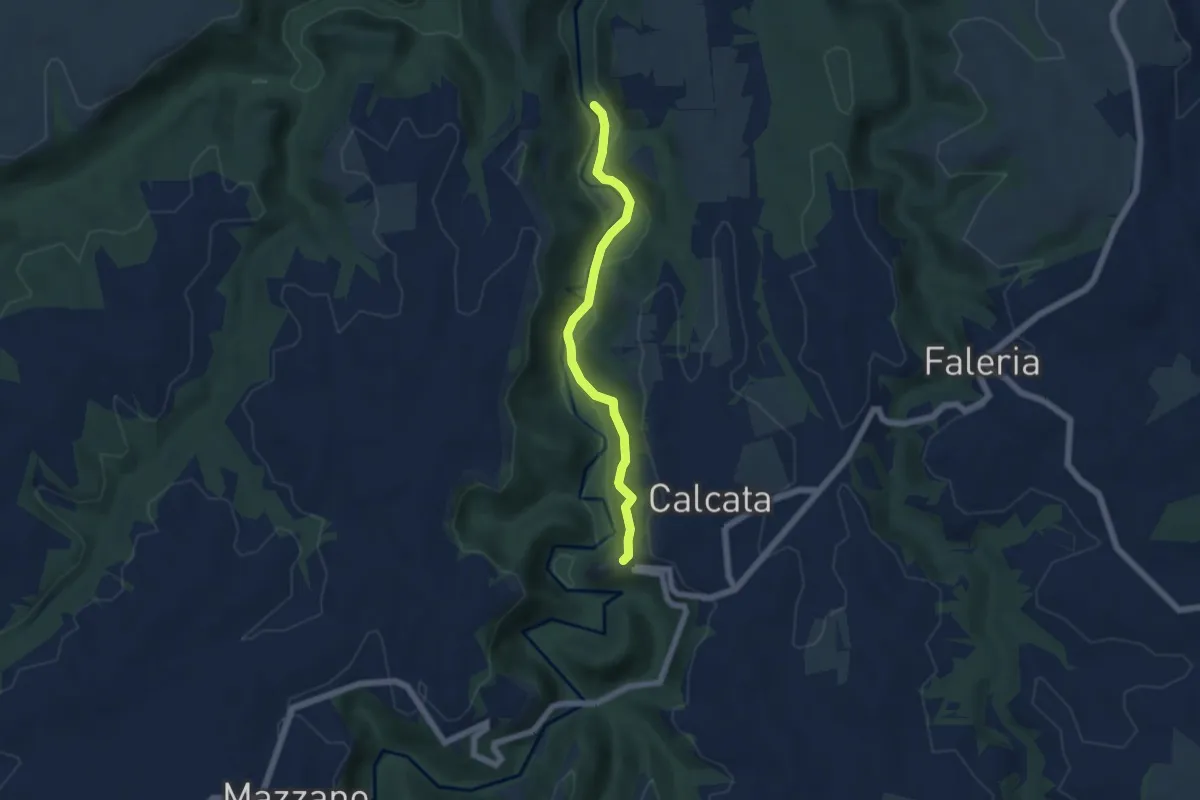
Easy · Trail
Ceciuli
5.5 km · ↑ 206 m · 1 h 45 min · 13 km away
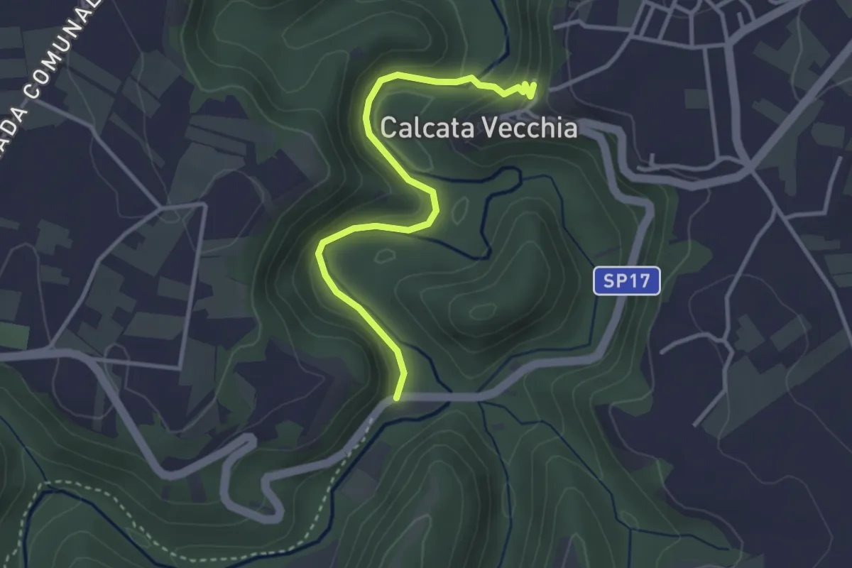
Easy · Trail
Fonteiano
3.5 km · ↑ 155 m · 1 h 9 min · 13 km away
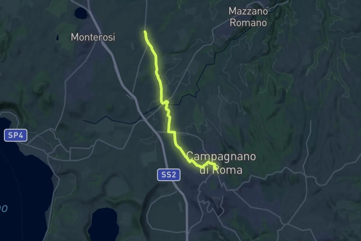
Medium · Pilgrim path
Via Francigena - Variante Anello di Campagnano
9.3 km · ↑ 77 m · 2 h 31 min · 13 km away
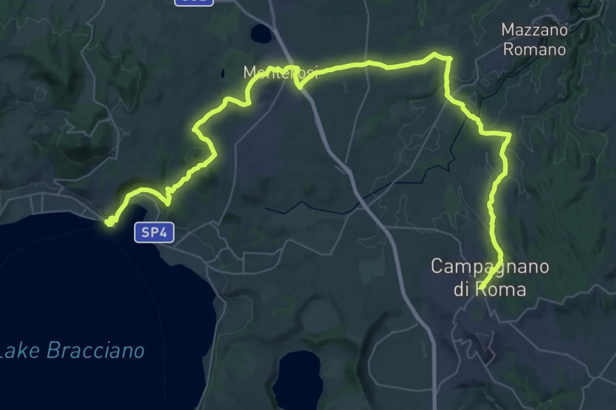
Demanding · Trail
Il Cammino dei Vulcani - Tappa 2
25.1 km · ↑ 323 m · 7 h 1 min · 13 km away
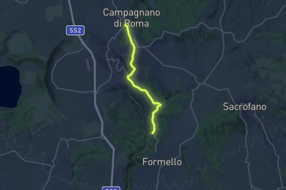
Expert · Summit
Campagnano – Formello
12.6 km · ↑ 394 m · 3 h 49 min · 13 km away
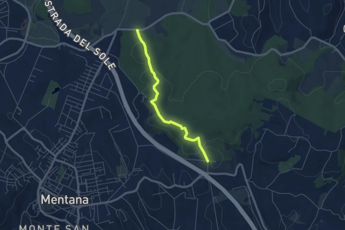
Easy · Trail
Percorso Blu
5.2 km · ↑ 58 m · 1 h 22 min · 13 km away
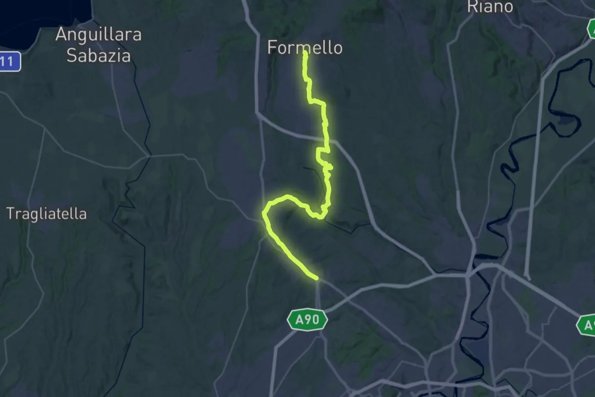
Demanding · Trail
Formello – La Giustiniana
18.2 km · ↑ 202 m · 5 h 2 min · 13 km away
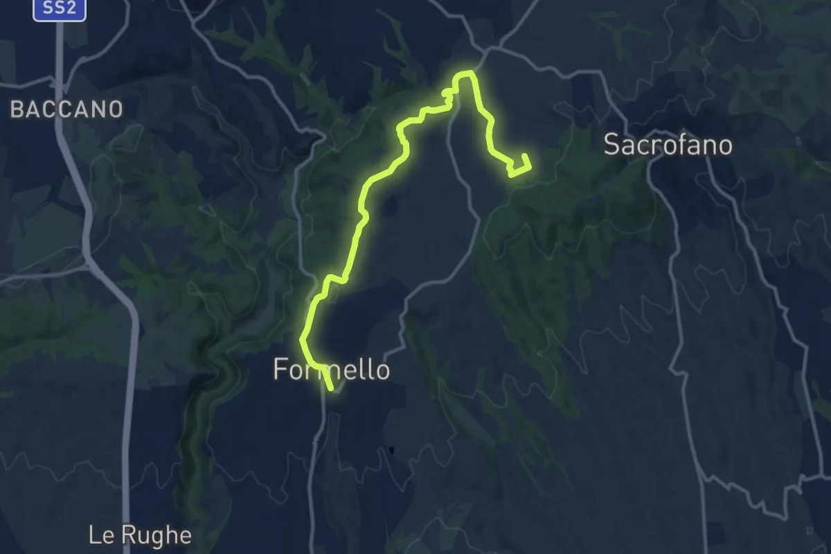
Medium · Summit
Sacrofano – Formello
13.3 km · ↑ 213 m · 3 h 37 min · 13 km away
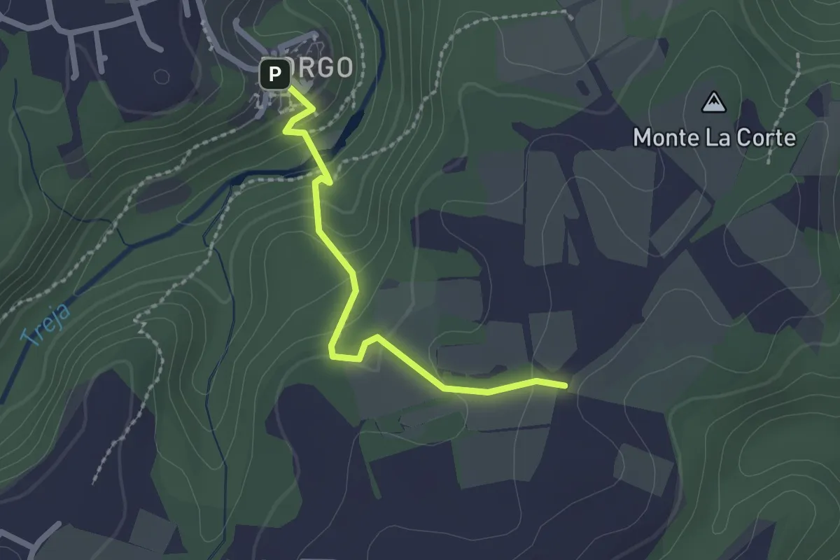
Easy · Trail
Settecannelle
2.1 km · ↑ 114 m · 45 min · 13 km away
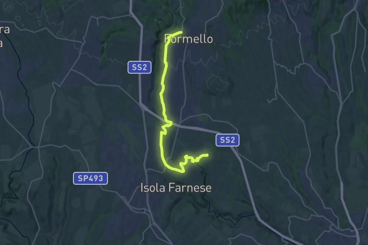
Demanding · Trail
Formello-Località Monte Michele
22.3 km · ↑ 311 m · 5 h 56 min · 13 km away