Trails near Carate Brianza
68 hikes starting within 15 km, nearest first.
Nearest first, page 2 of 2
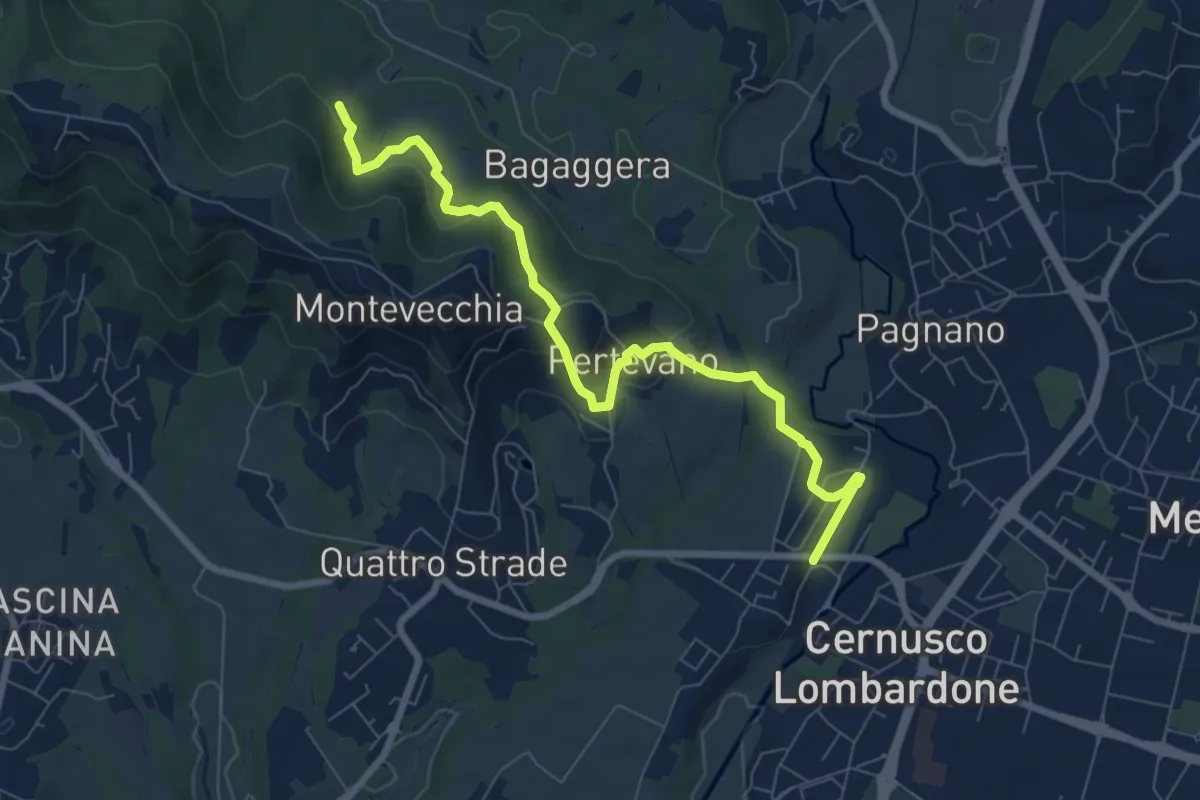
Medium · Trail
Percorso stazione
8.4 km · ↑ 261 m · 2 h 32 min · 13 km away
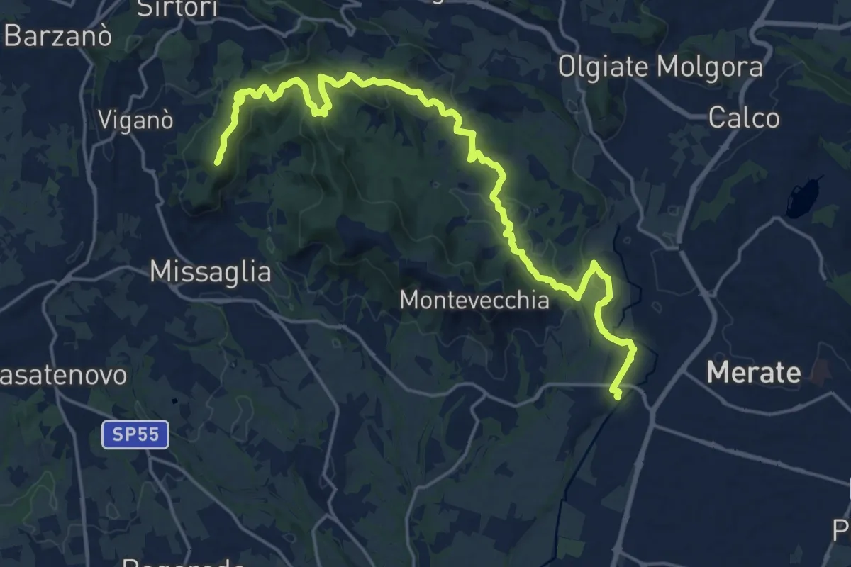
Demanding · Summit
Cernusco Lombardone (FS) – Missaglia
21.8 km · ↑ 575 m · 6 h 23 min · 13 km away
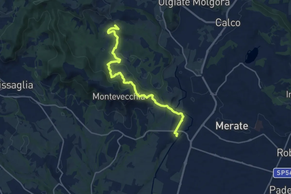
Medium · Summit
Cernusco Lombardone (FS) – Perego
12.5 km · ↑ 409 m · 3 h 51 min · 13 km away
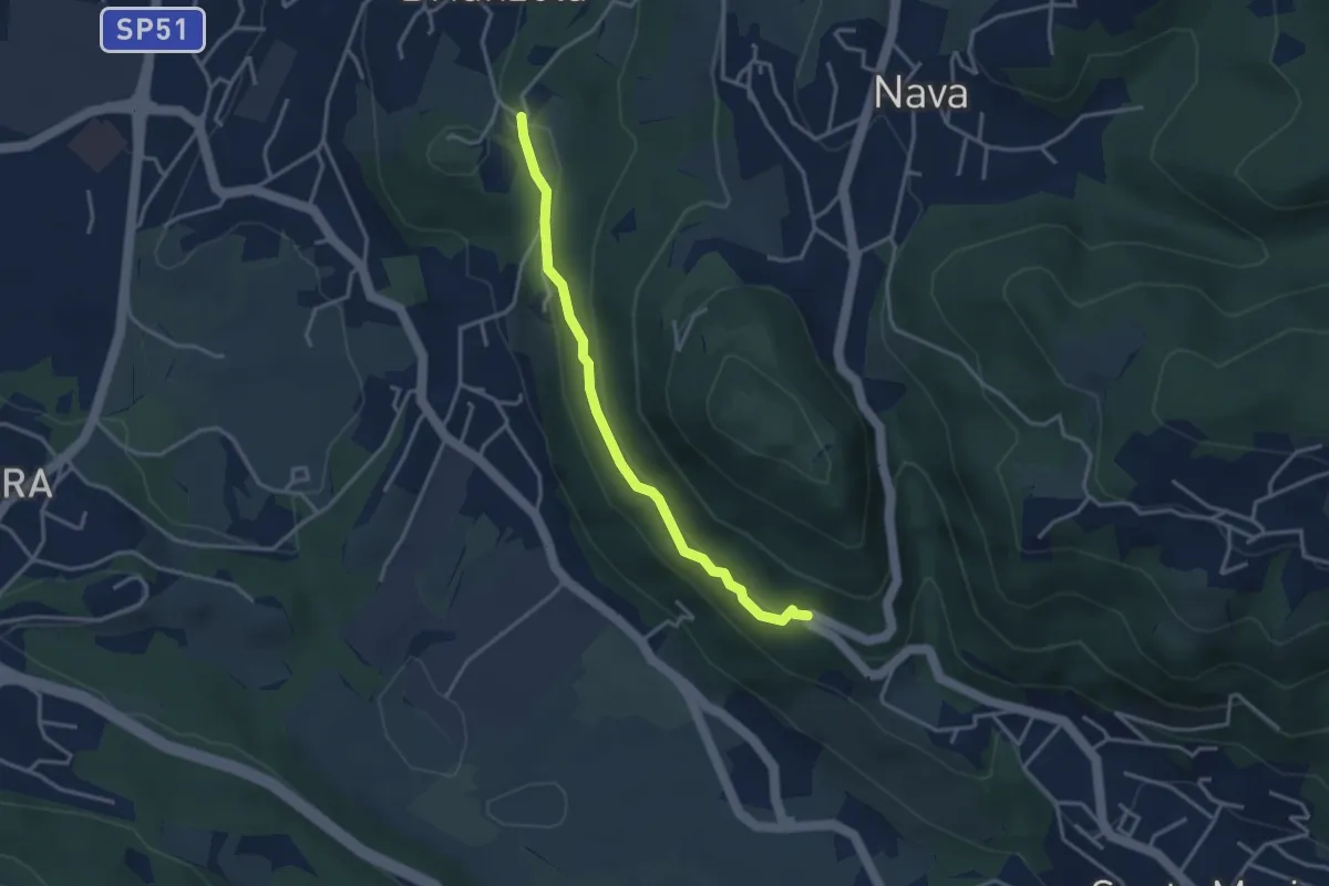
Easy · Trail
Brianzola – Ceppetto
3.3 km · ↑ 108 m · 1 h 1 min · 13 km away
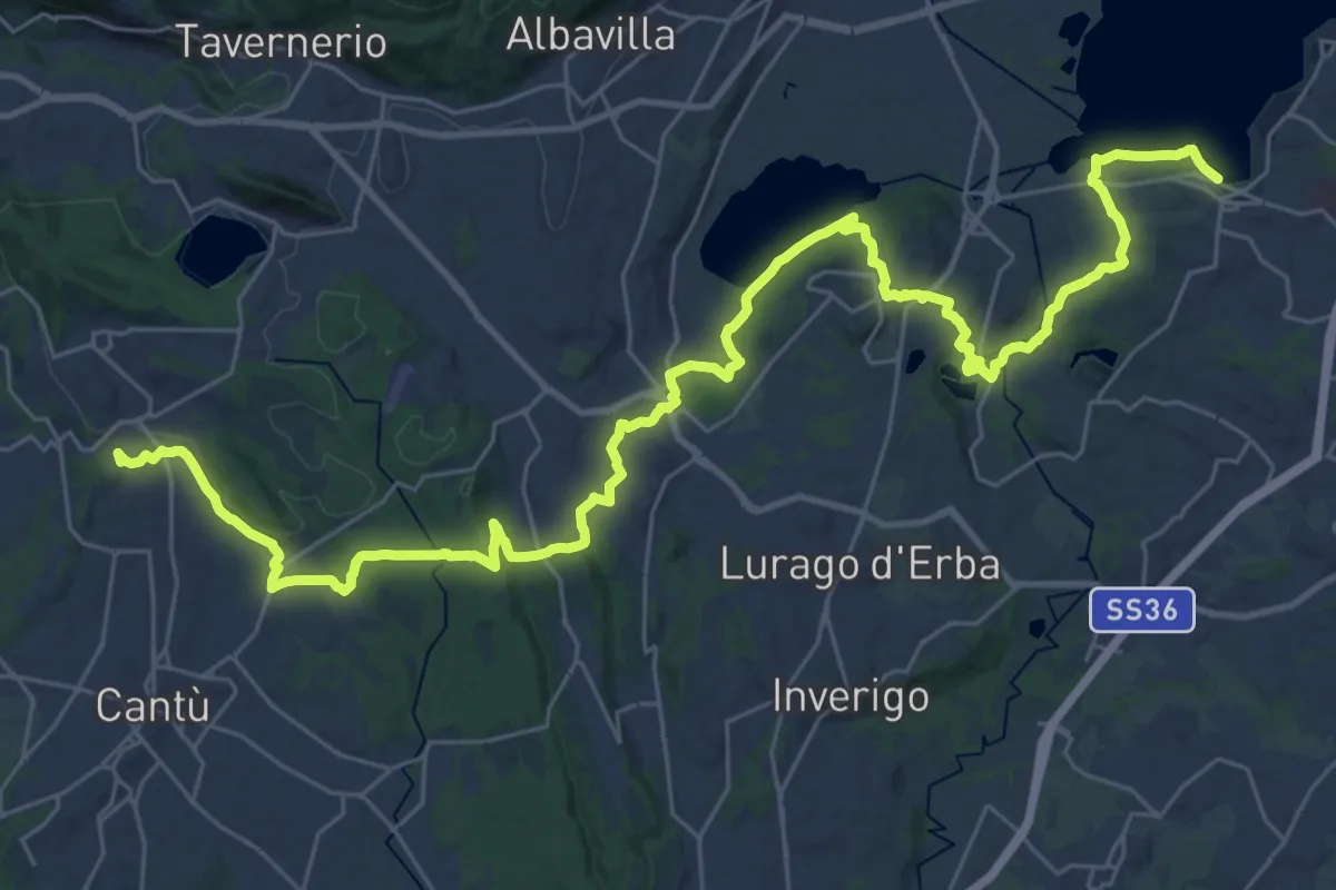
Demanding · Trail
Sentiero Pedemonte - Tappa 2
21.4 km · ↑ 377 m · 6 h 7 min · 13 km away
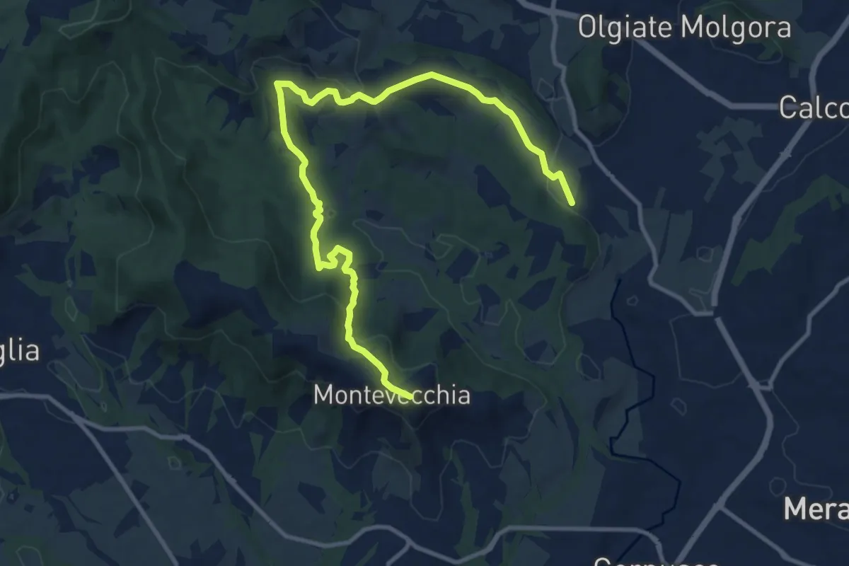
Medium · Summit
Cernusco Lombardone (FS) – Beolco
12.4 km · ↑ 430 m · 3 h 52 min · 13 km away
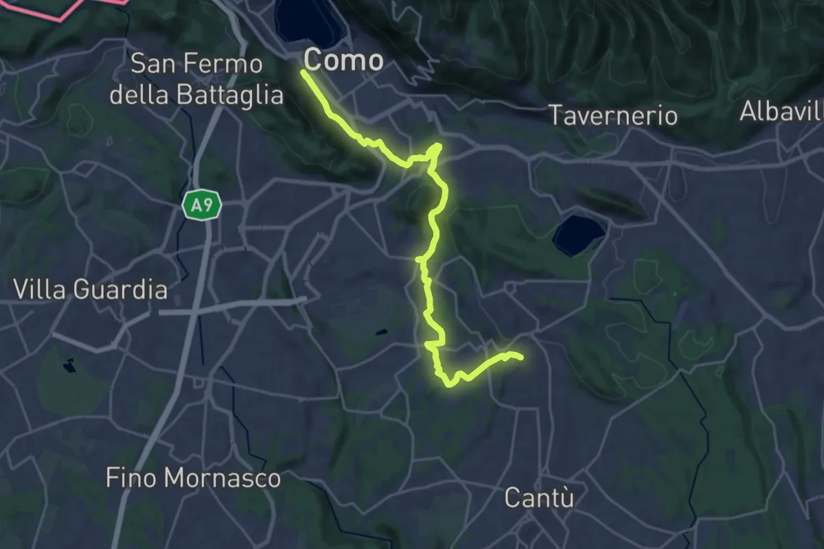
Demanding · Trail
Sentiero Pedemonte - Tappa 1
21.5 km · ↑ 414 m · 5 h 59 min · 13 km away
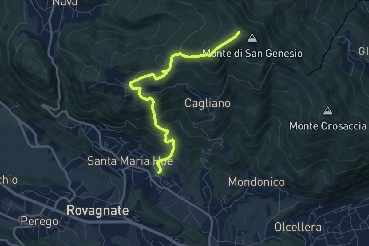
Medium · Summit
Tremonte – Monte di San Genesio
7.4 km · ↑ 475 m · 2 h 47 min · 13 km away
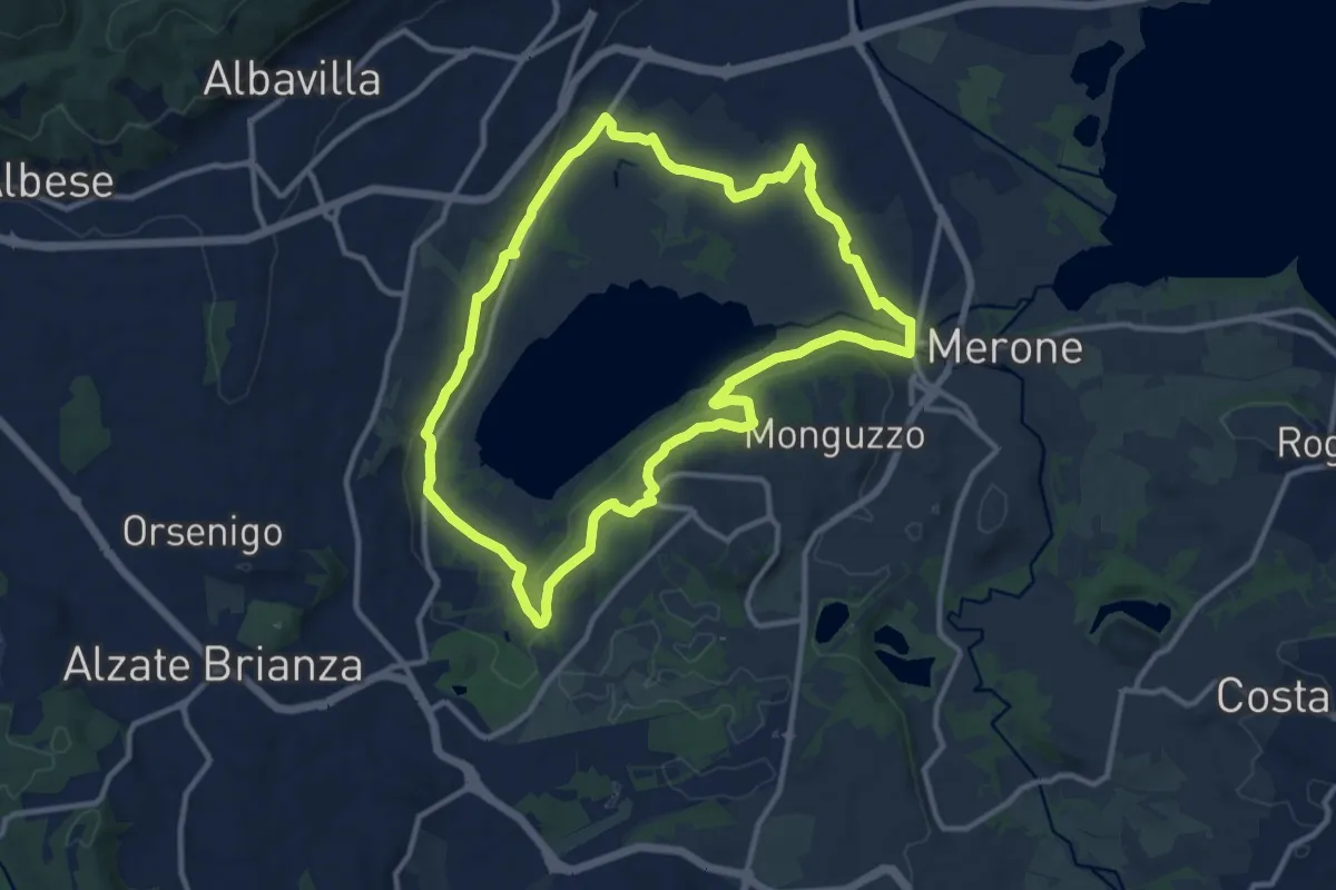
Medium · Trail
Attorno al lago di Alserio
11.3 km · ↑ 162 m · 3 h 11 min · 13 km away
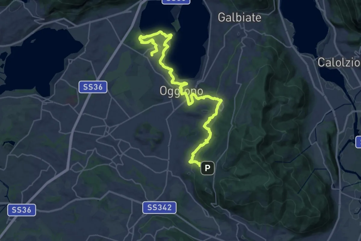
Medium · Trail
Antico Percorso di Fede dell'Alta Brianza
14.0 km · ↑ 200 m · 4 h 4 min · 14 km away
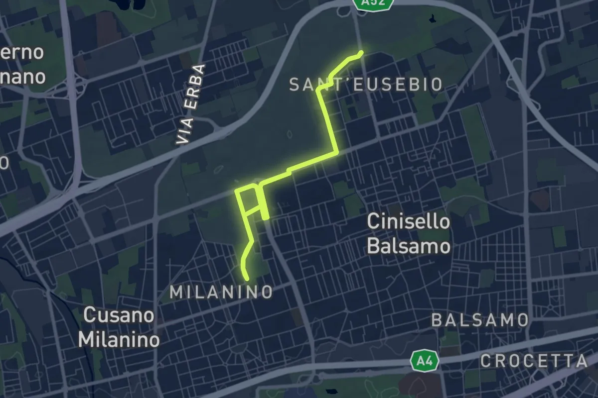
Medium · Trail
Ippocastani . Sant'Eusebio
14.8 km · ↑ 22 m · 3 h 33 min · 14 km away
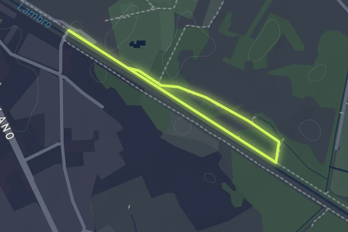
Easy · Trail
Percorso minore
1.3 km · ↑ 0 m · 20 min · 14 km away
Easy · Trail
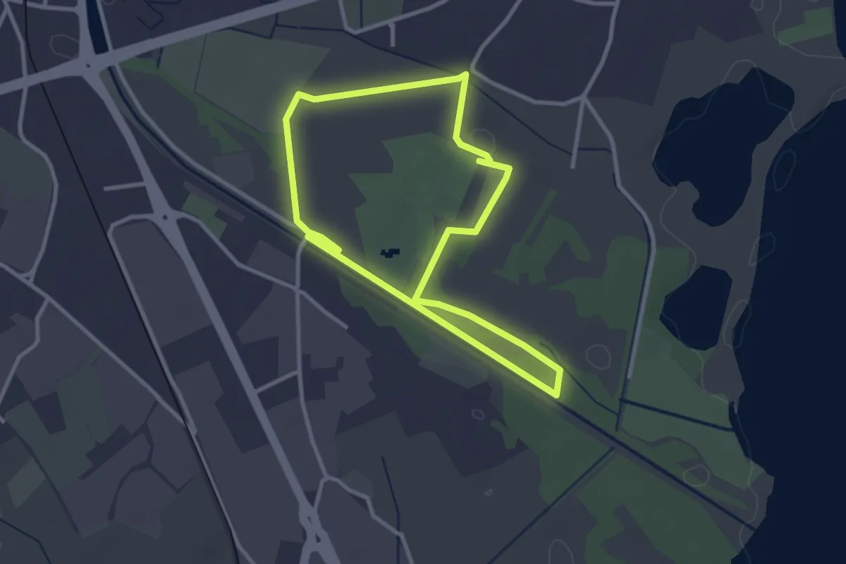
Percorso maggiore
2.8 km · ↑ 9 m · 44 min · 14 km away
Easy · Trail
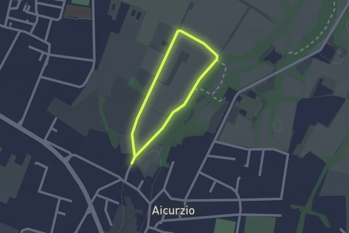
Percorso n° 8
1.2 km · ↑ 4 m · 19 min · 14 km away
Medium · Trail
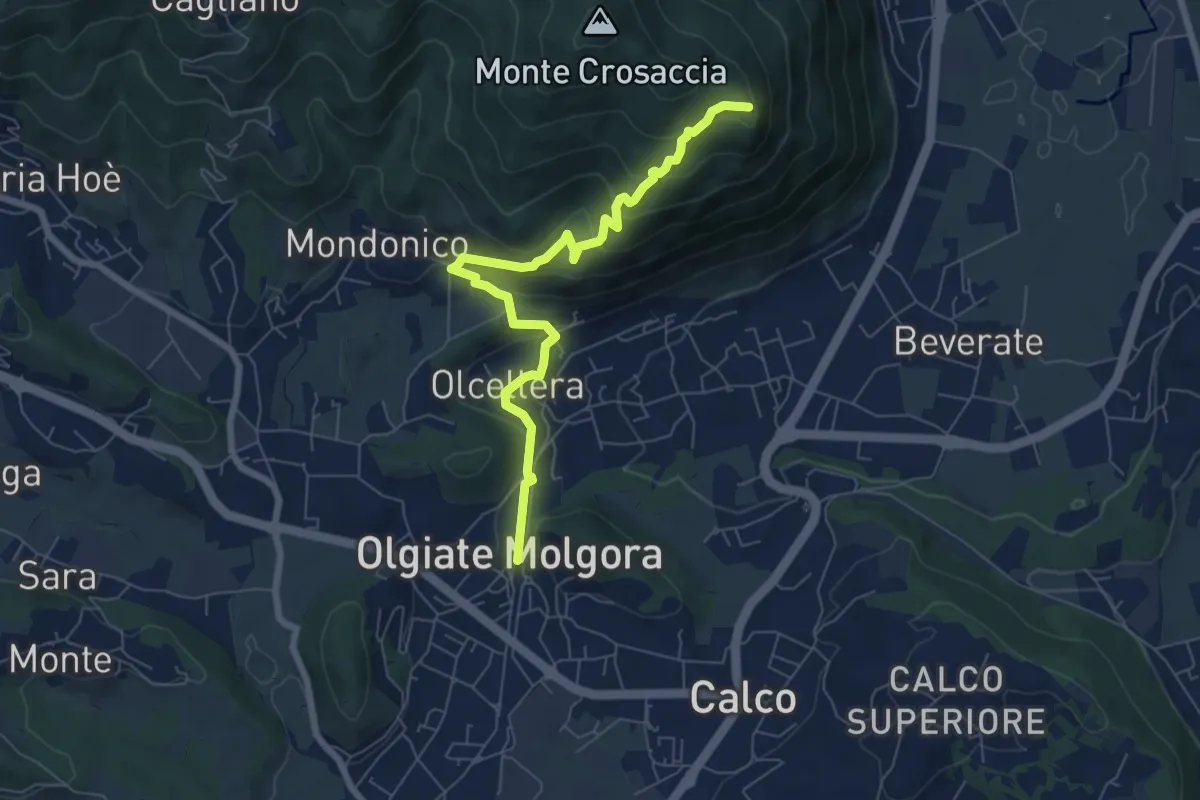
Olgiate Molgora (FS) – Crosaccia
7.3 km · ↑ 425 m · 2 h 39 min · 14 km away
Easy · Trail
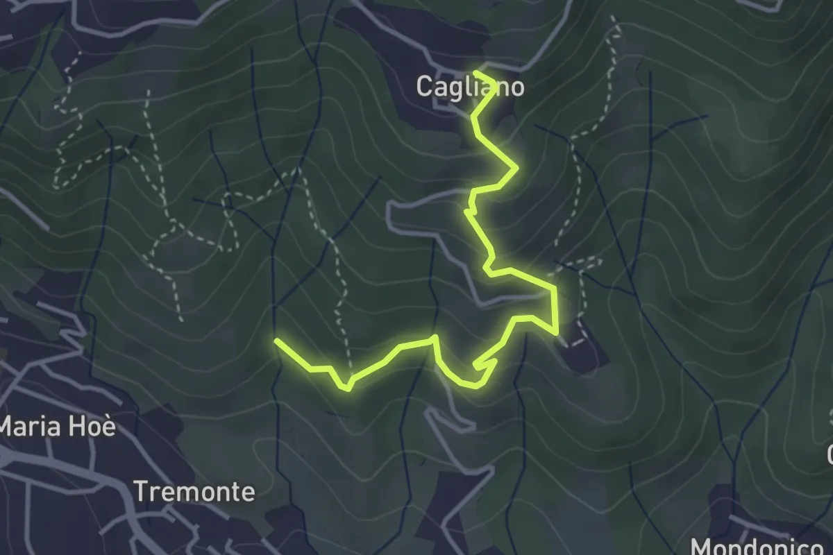
Ponte del Bordeà – Cagliano
3.6 km · ↑ 253 m · 1 h 25 min · 14 km away
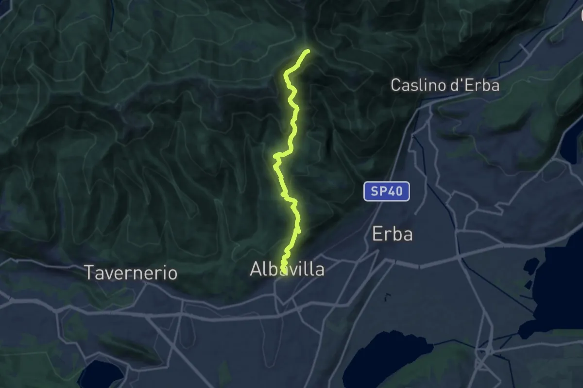
Medium · Cabin
Albavilla – RIfugio Capanna Mara
12.2 km · ↑ 779 m · 4 h 34 min · 15 km away
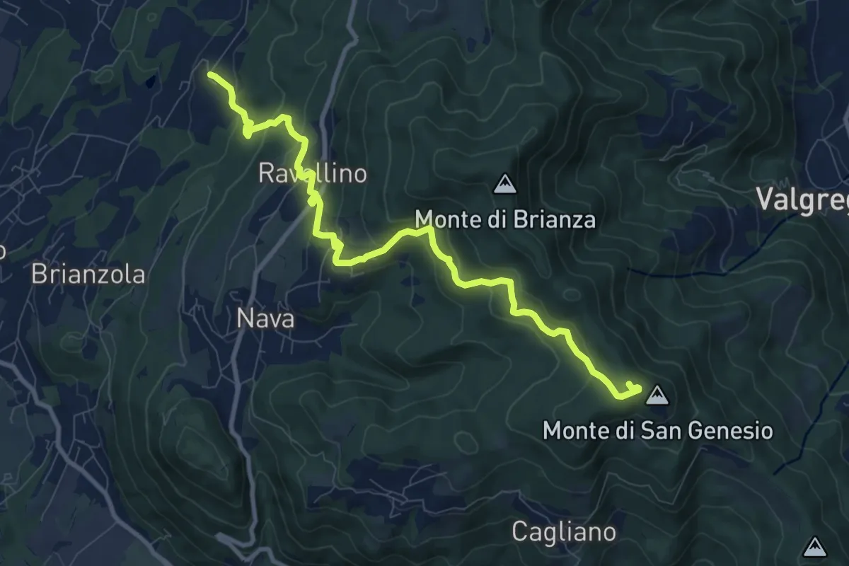
Medium · Summit
Marconaga – Monte di San Genesio
9.9 km · ↑ 516 m · 3 h 28 min · 15 km away
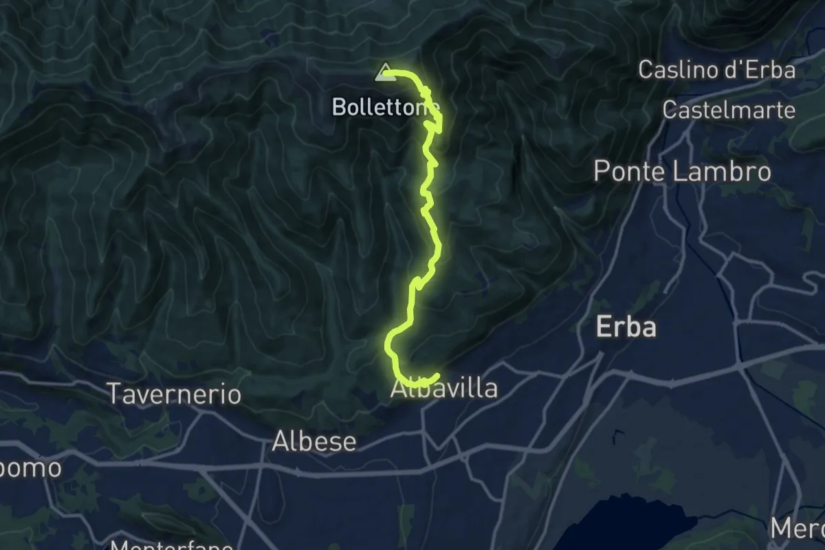
Demanding · Summit
Albavilla – Monte Bolettone
12.1 km · ↑ 820 m · 4 h 38 min · 15 km away
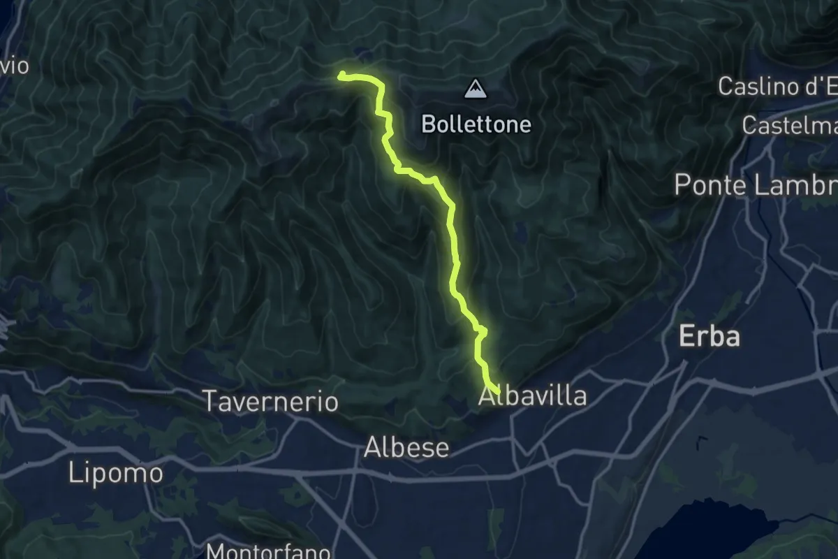
Medium · Trail
Sentiero 18: Albavilla (Via ai Monti) - Baita Patrizi - Bocchetta di Molina
10.9 km · ↑ 640 m · 3 h 58 min · 15 km away