Trails near Cardano al Campo
76 hikes starting within 15 km, nearest first.
Nearest first, page 2 of 2
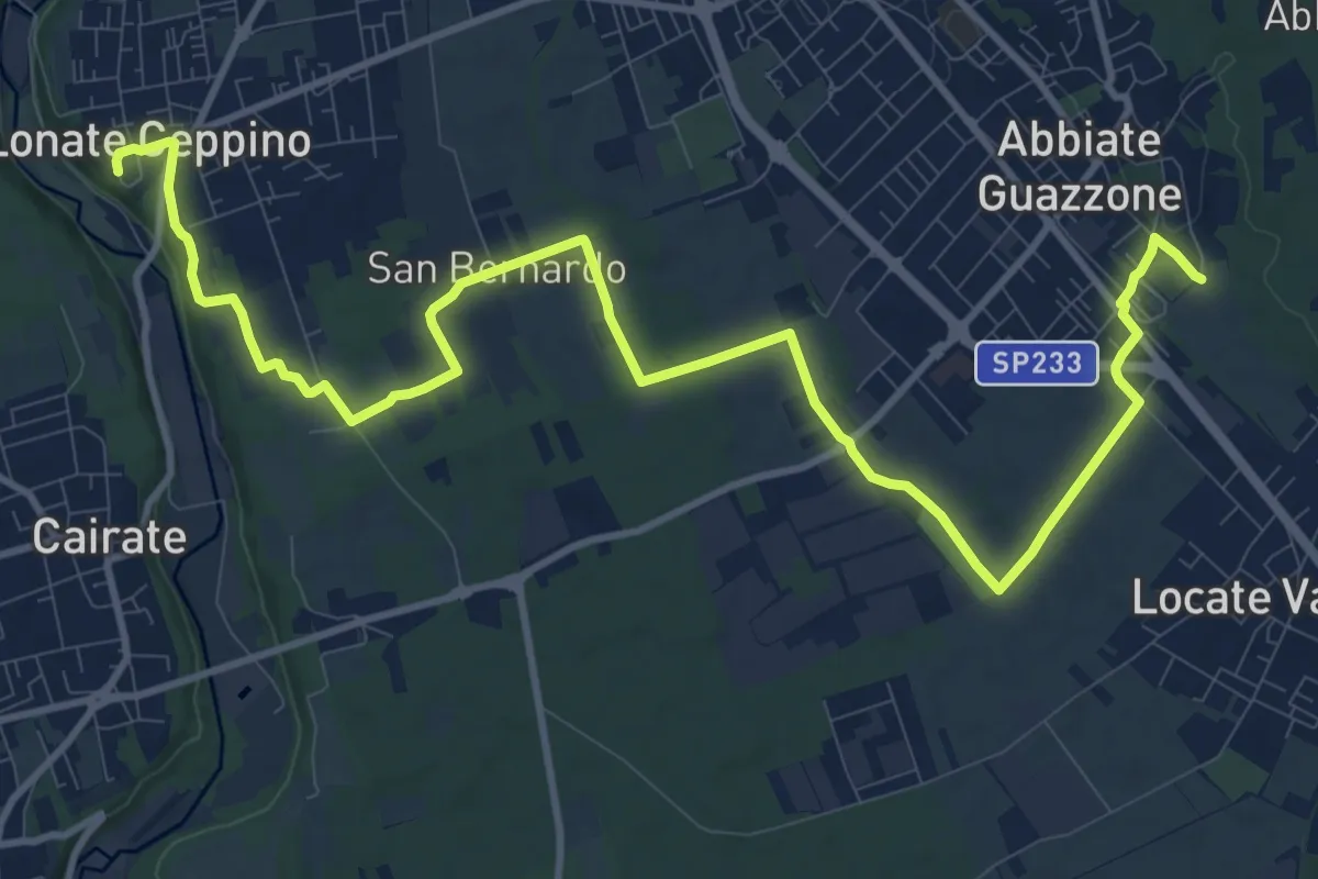
Medium · Trail
520F Collegamento RTO-Pineta
15.1 km · ↑ 102 m · 3 h 47 min · 13 km away
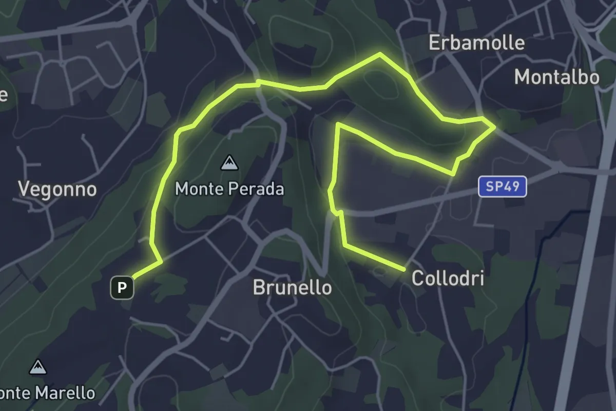
Easy · Trail
Piane Viscontee - Anello di Brunello
6.9 km · ↑ 139 m · 1 h 56 min · 13 km away
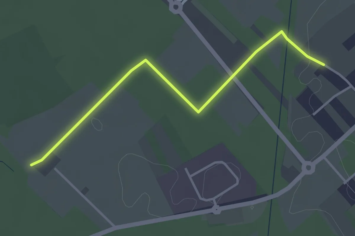
Easy · Trail
Cislago - Rescaldina
3.3 km · ↑ 15 m · 49 min · 13 km away
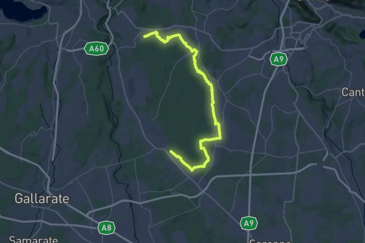
Demanding · Trail
Sentiero 840 LP
23.0 km · ↑ 244 m · 6 h 15 min · 14 km away
Easy · Trail
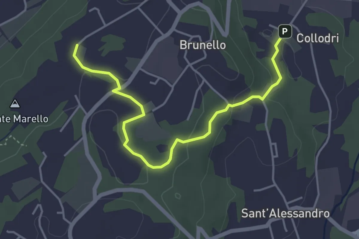
Piane Viscontee - Anello di Brunello
4.3 km · ↑ 111 m · 1 h 15 min · 14 km away
Demanding · Summit
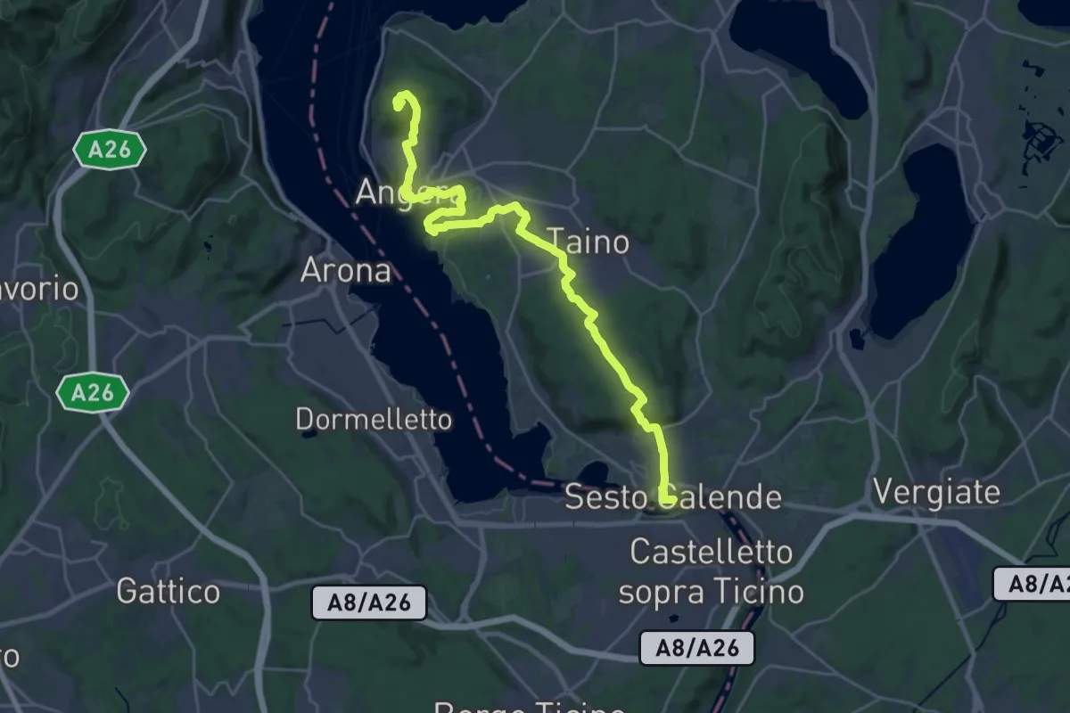
Grand Tour del Lago Maggiore ® - Tappa 4 - Sesto Calende - lspra
27.4 km · ↑ 500 m · 7 h 34 min · 14 km away
Demanding · Summit
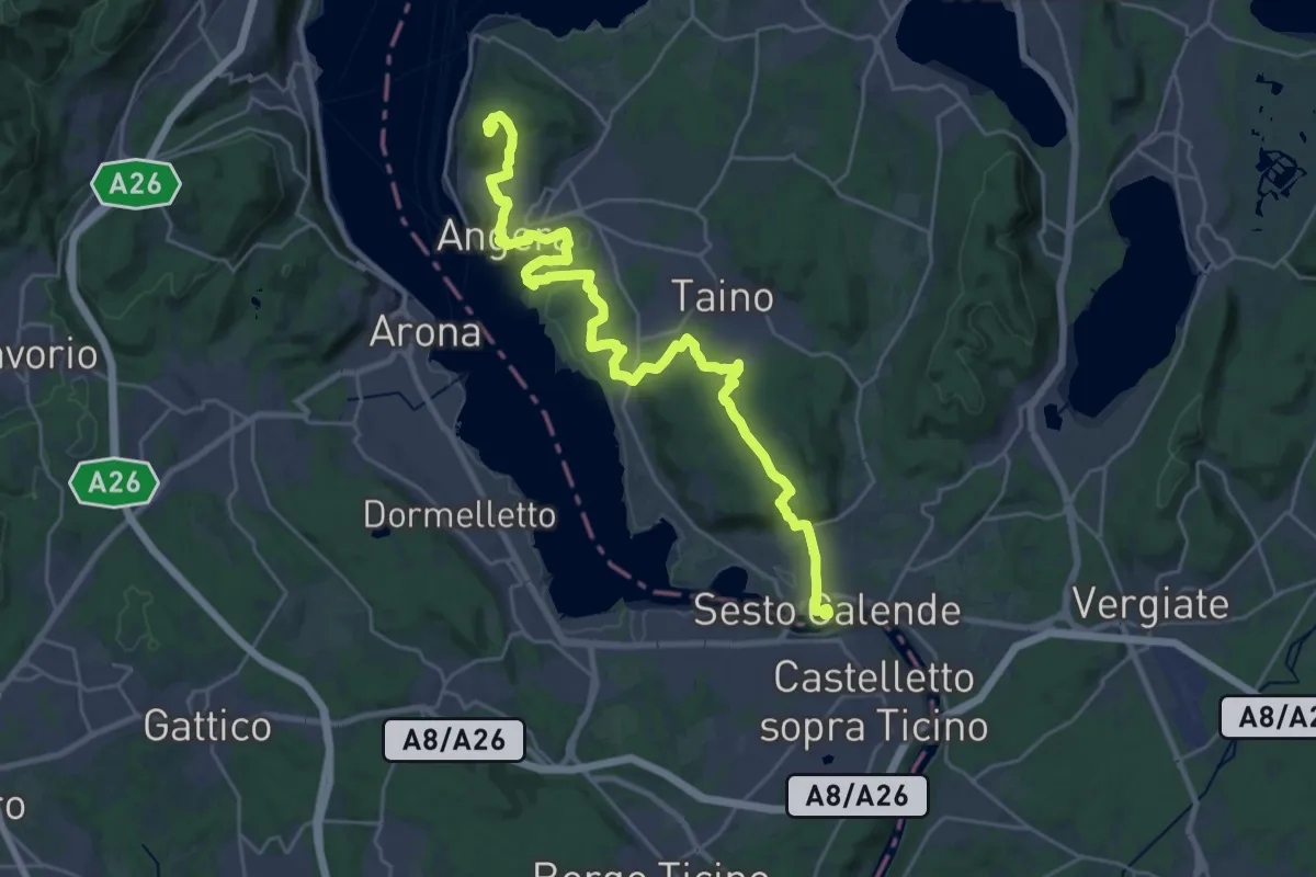
Cammino del Lago Maggiore
30.8 km · ↑ 501 m · 8 h 22 min · 14 km away
Demanding · Trail
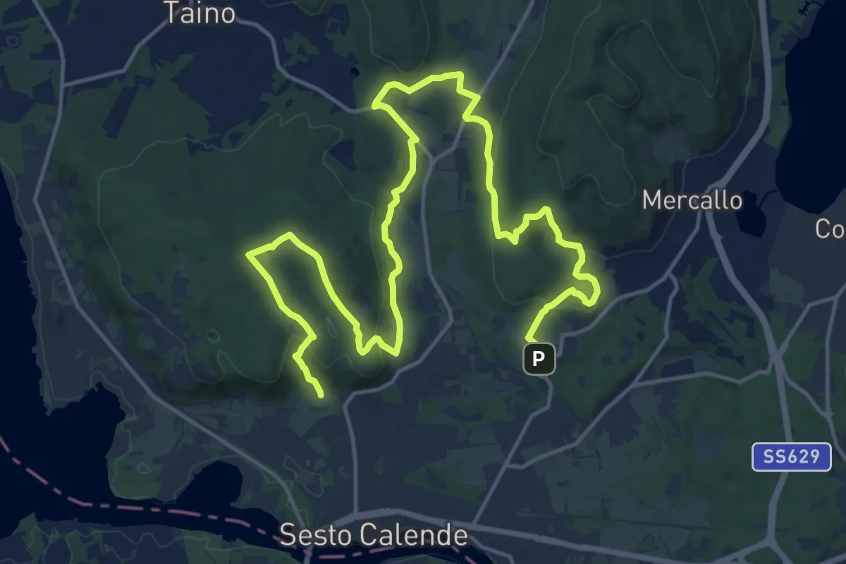
Sentiero delle Meraviglie nascoste
22.9 km · ↑ 575 m · 6 h 40 min · 14 km away
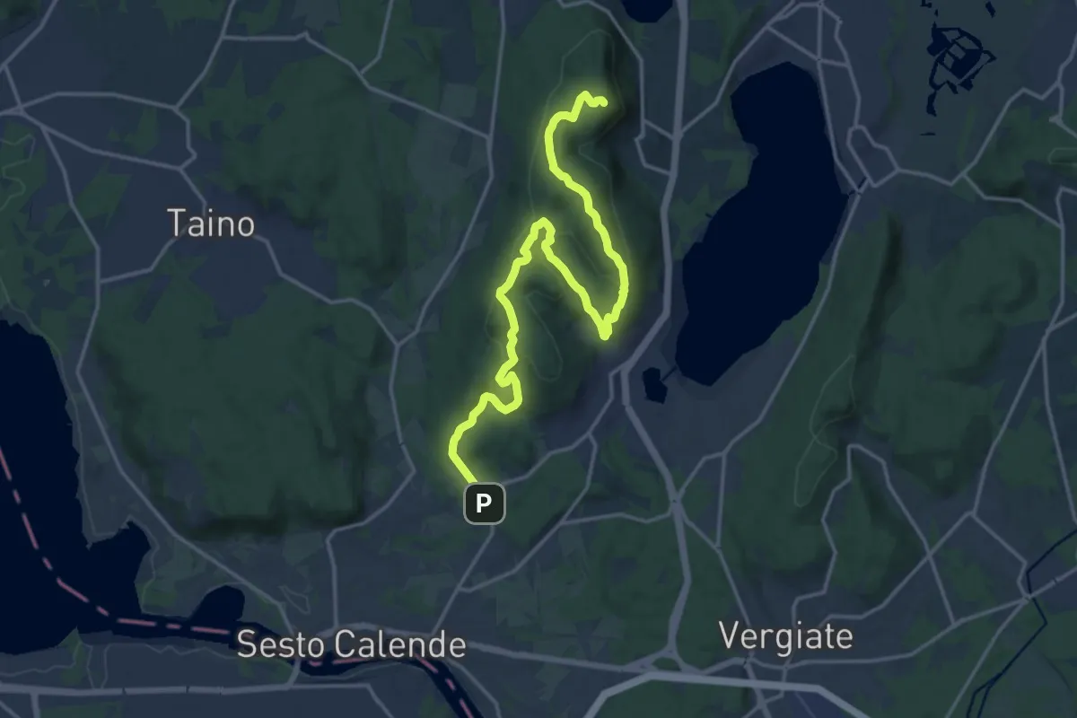
Demanding · Summit
Sentiero del Monte Pelada
18.9 km · ↑ 567 m · 5 h 41 min · 14 km away
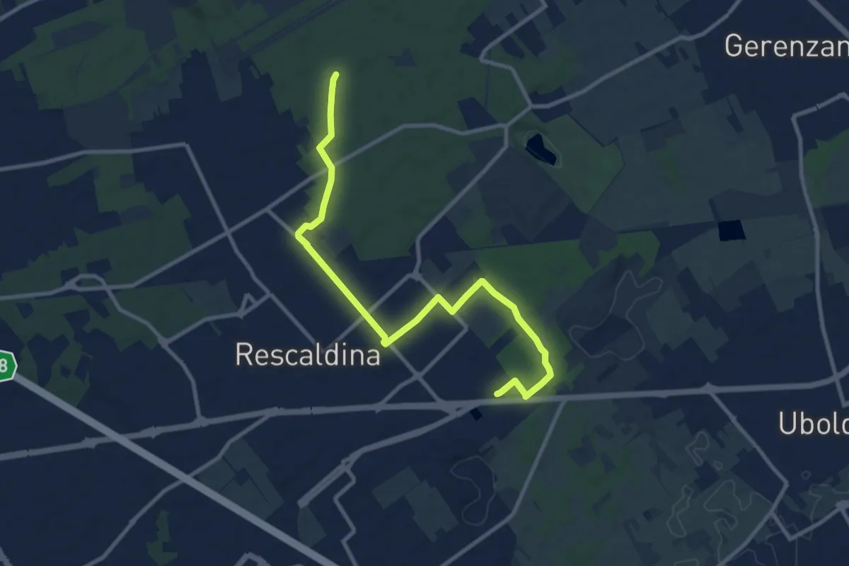
Medium · Trail
Collegamento Rescaldina
10.8 km · ↑ 41 m · 2 h 38 min · 14 km away
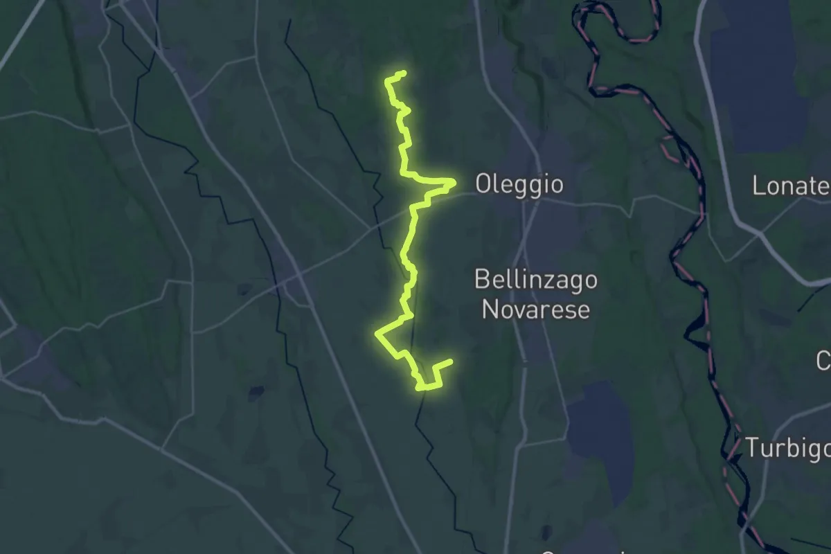
Demanding · Trail
Sentiero Novara tappa 11
31.7 km · ↑ 166 m · 7 h 51 min · 14 km away
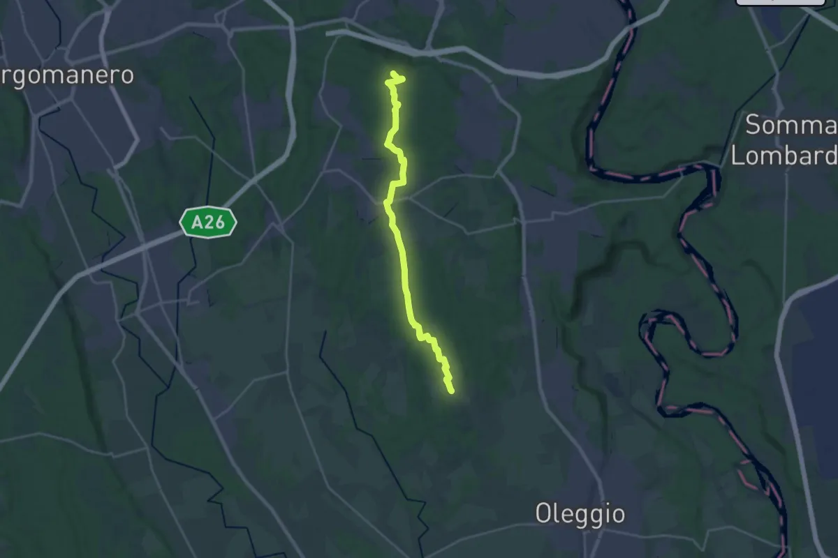
Demanding · Summit
Sentiero Novara tappa 12
20.6 km · ↑ 224 m · 5 h 21 min · 14 km away
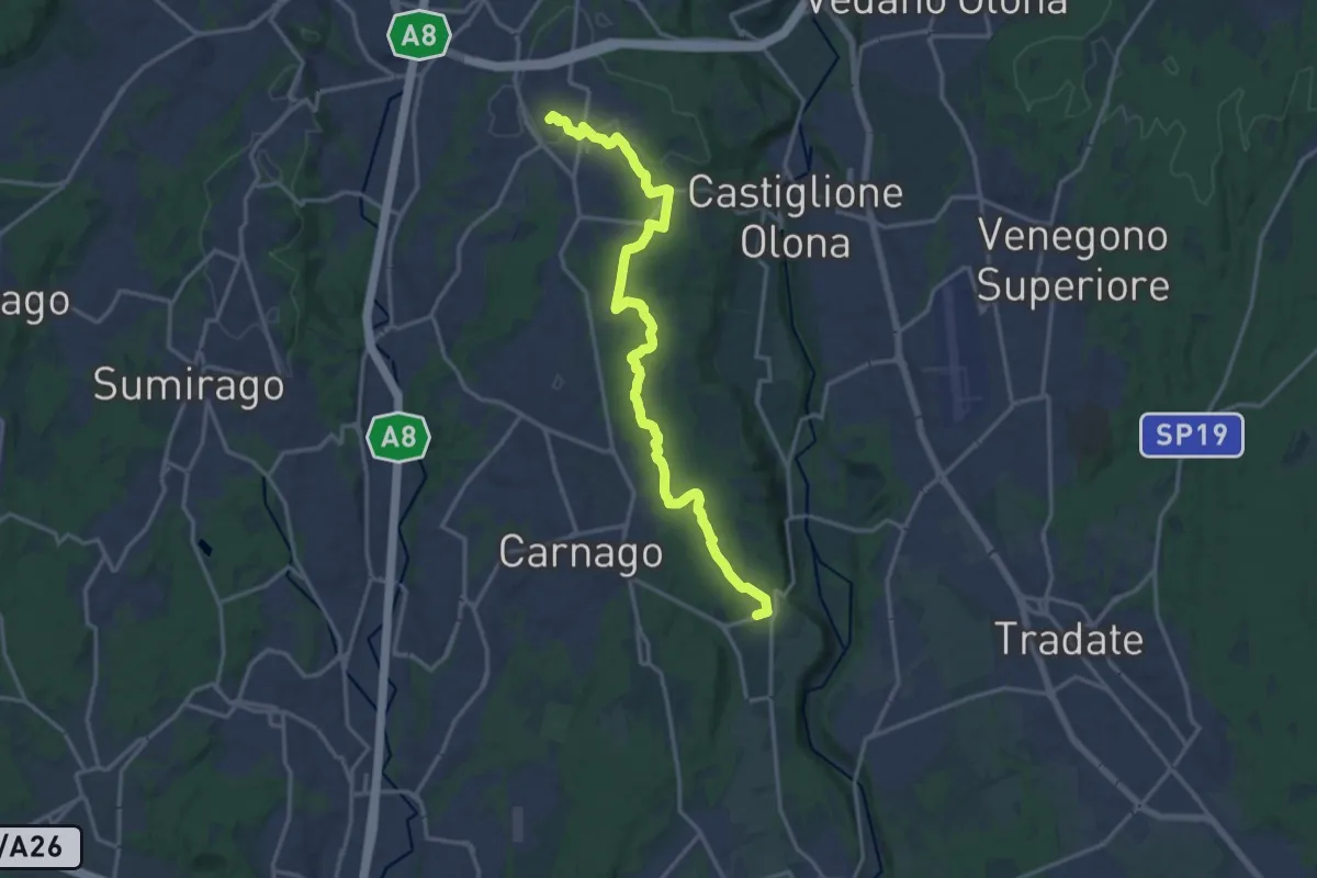
Medium · Trail
522 Sentiero del Tenore
17.2 km · ↑ 164 m · 4 h 25 min · 14 km away
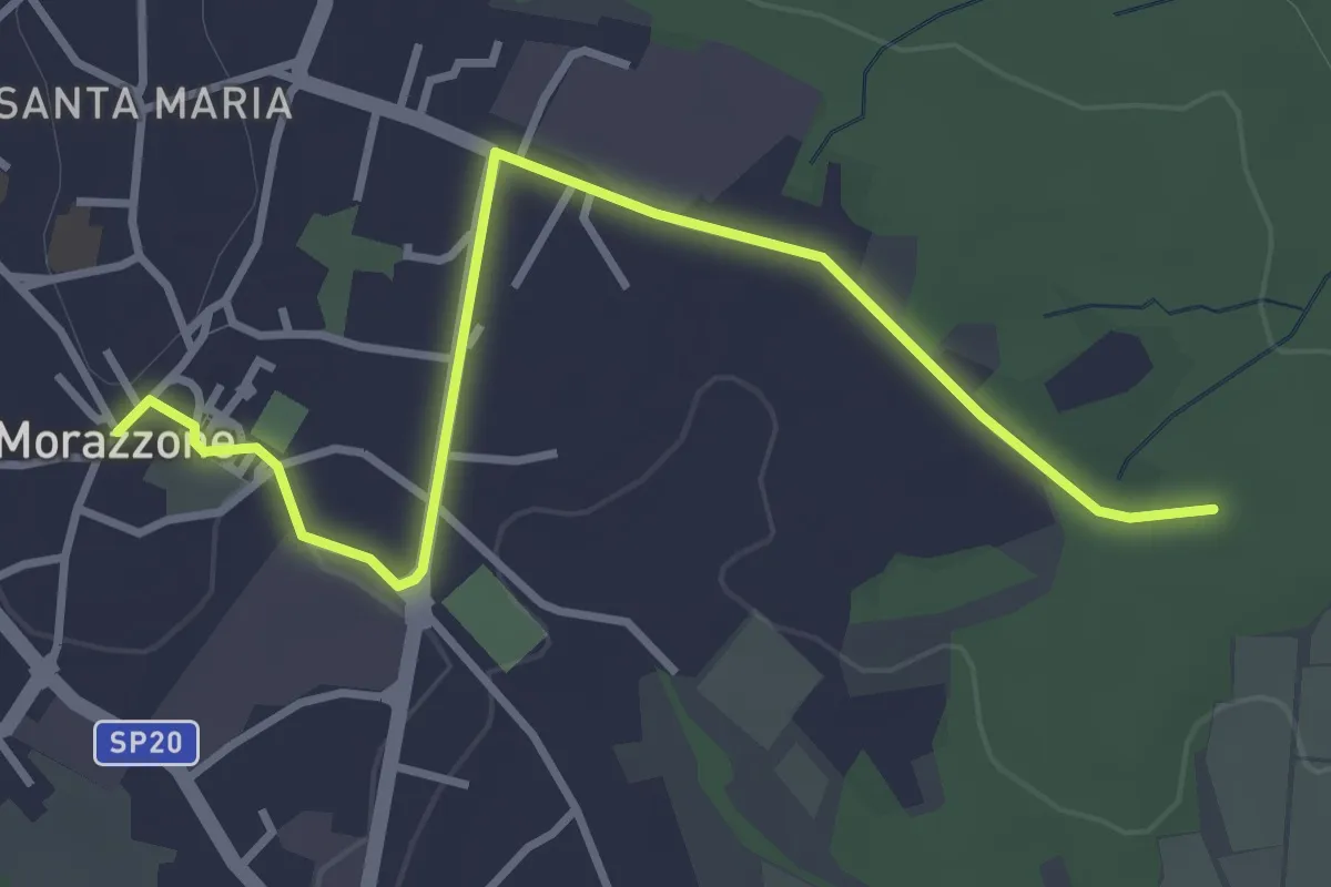
Easy · Trail
520C Collegmaento Morazzone-Dorsale RTO
3.8 km · ↑ 31 m · 58 min · 14 km away
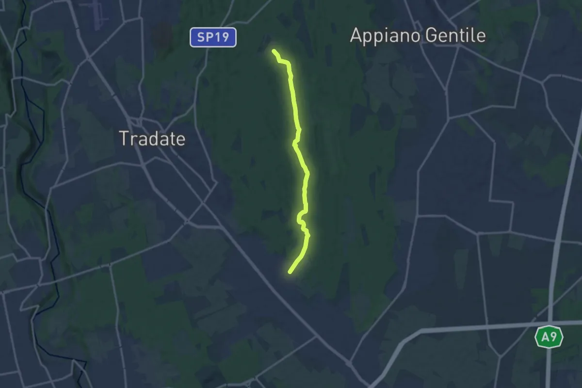
Medium · Trail
Sentiero 845
11.0 km · ↑ 92 m · 2 h 47 min · 14 km away
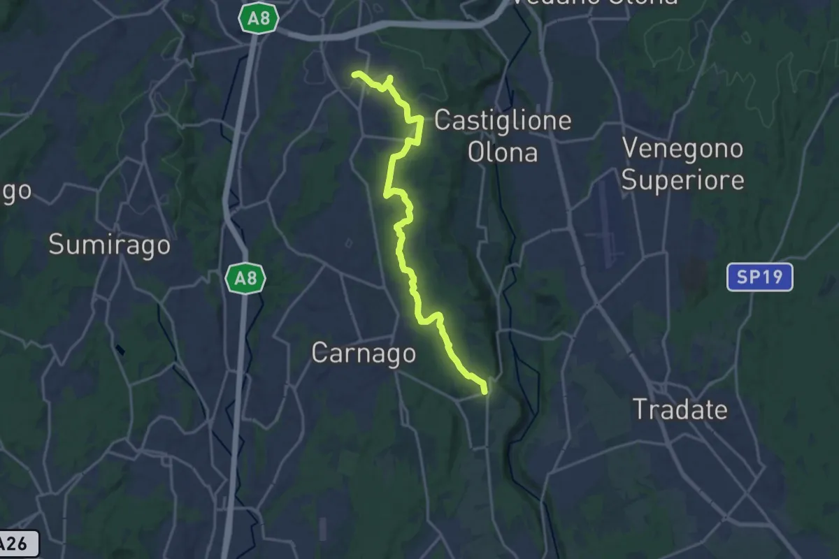
Medium · Trail
Sentiero del Tenore
16.7 km · ↑ 149 m · 4 h 16 min · 14 km away
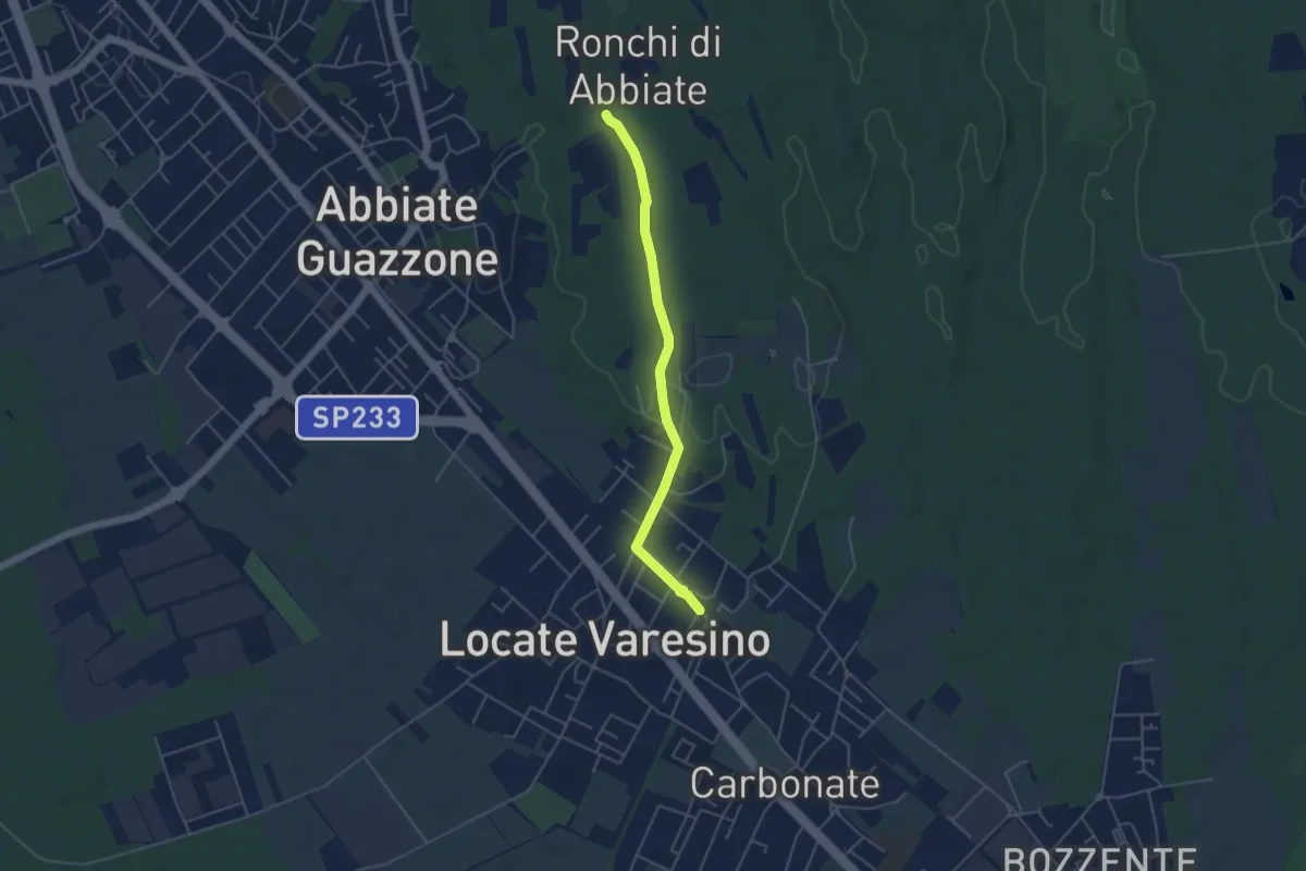
Easy · Trail
Sentiero 844C
4.5 km · ↑ 42 m · 1 h 9 min · 14 km away
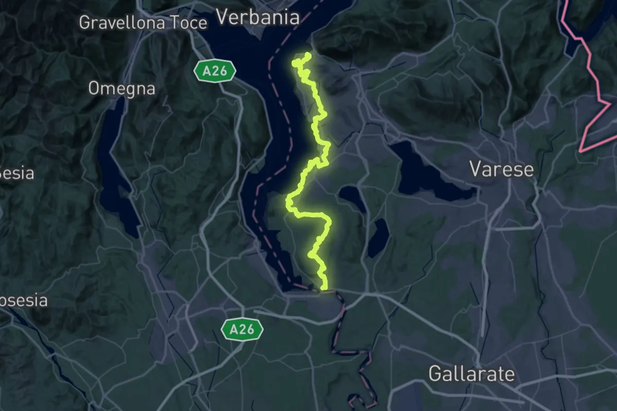
Demanding · Summit
289 Dorsale del Verbano - Agenda21Laghi
75.4 km · ↑ 1295 m · 20 h 37 min · 14 km away
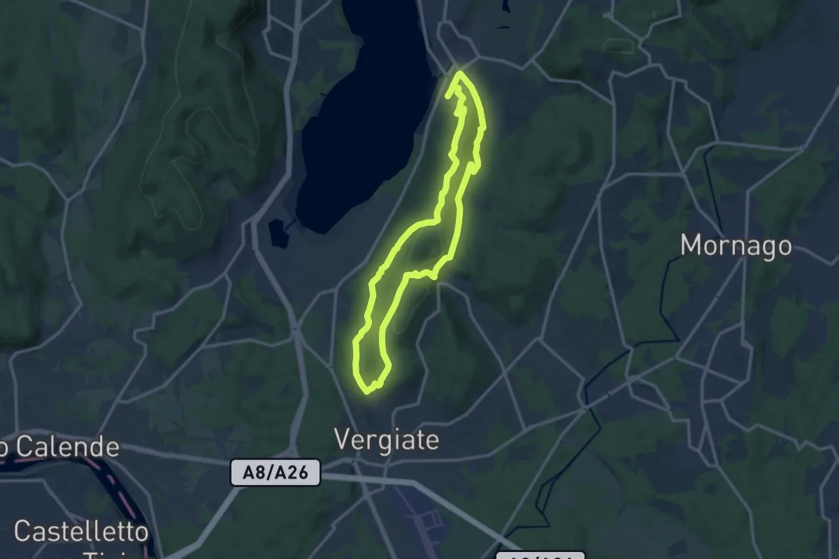
Medium · Trail
Anello Monte San Giacomo
10.6 km · ↑ 320 m · 3 h 20 min · 14 km away
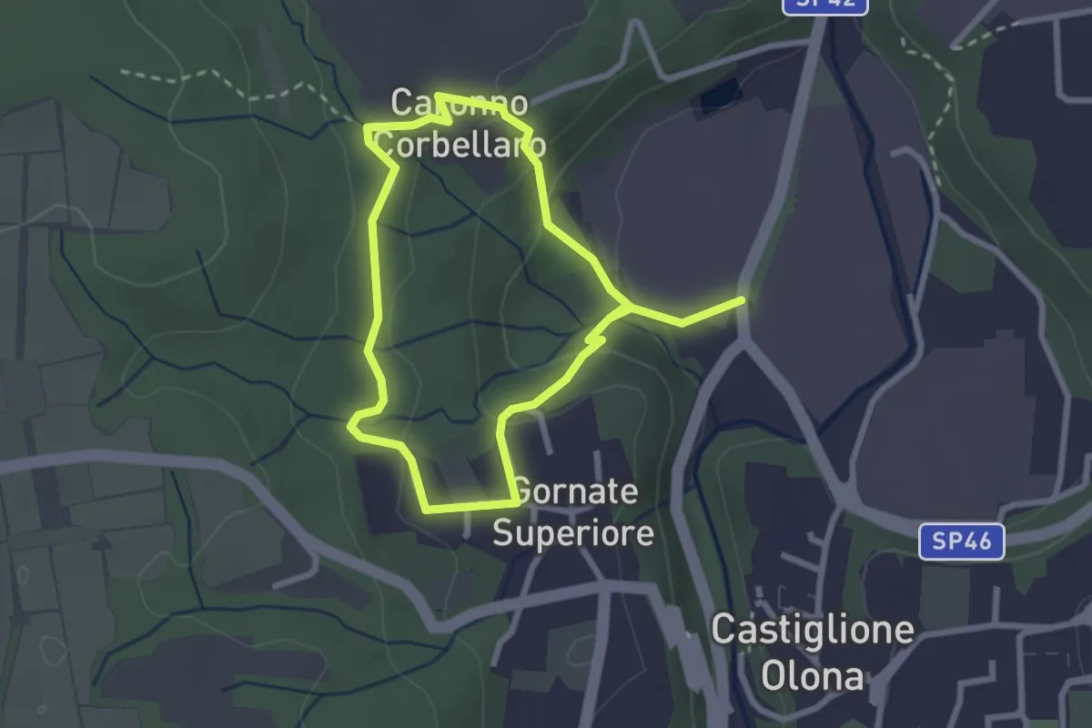
Easy · Trail
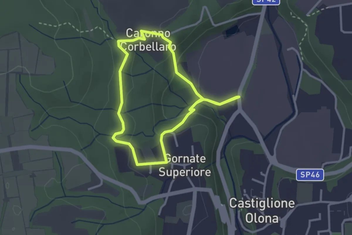
Anello dei Lavatoi
2.3 km · ↑ 61 m · 42 min · 15 km away
Easy · Trail
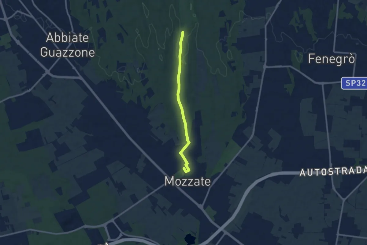
521 Anello dei Lavatoi
2.4 km · ↑ 66 m · 45 min · 15 km away
Easy · Trail
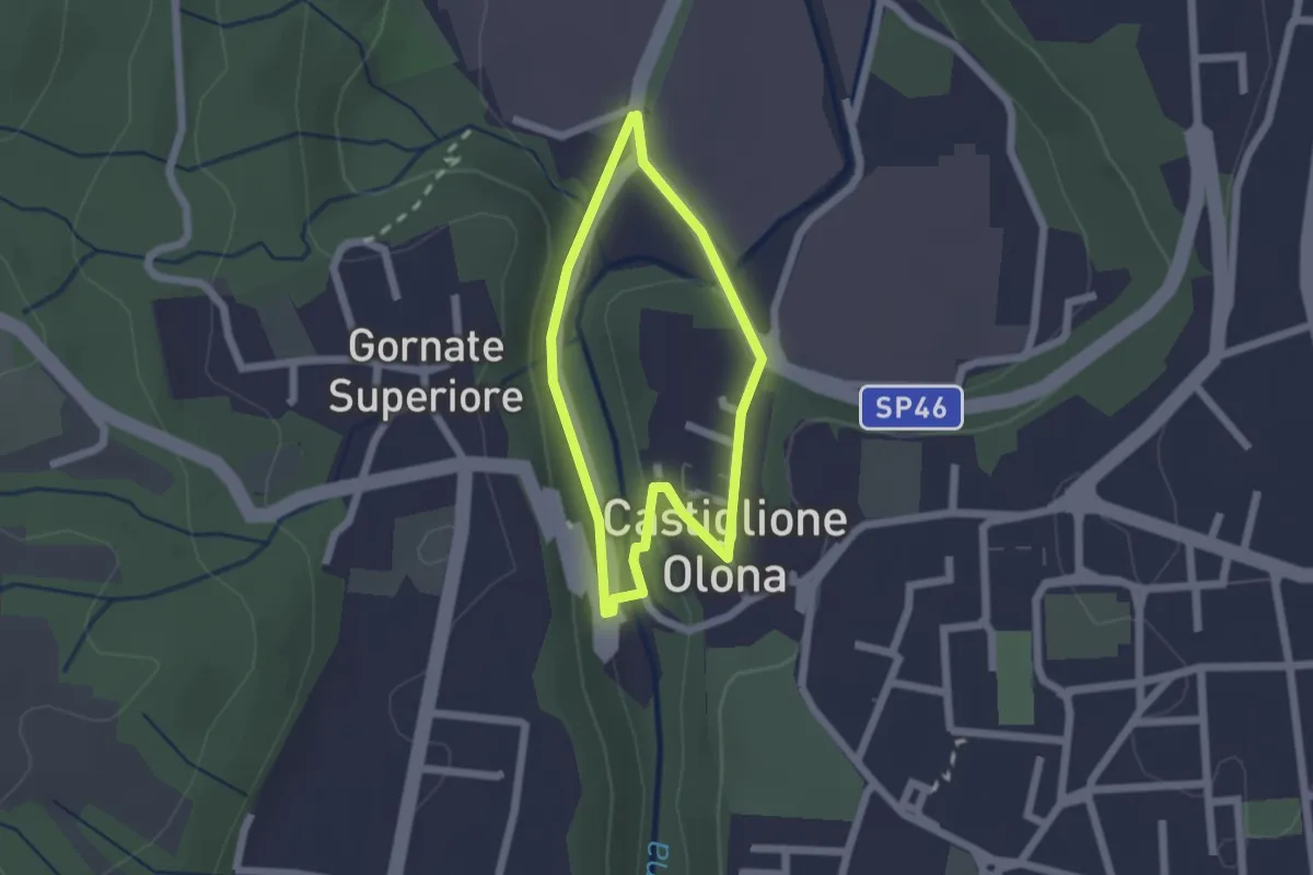
Sentiero 844B
7.1 km · ↑ 43 m · 1 h 47 min · 15 km away
Easy · Trail
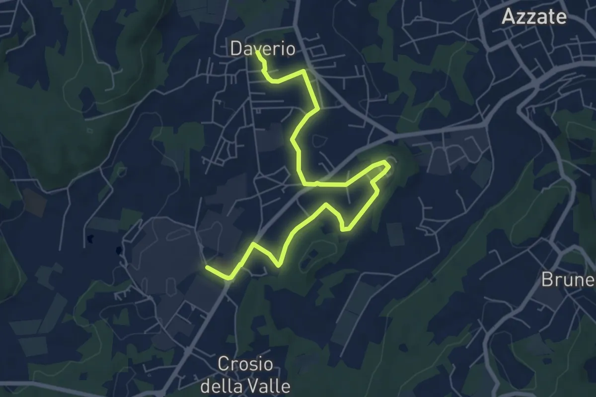
Anello Storico di Castiglione
1.6 km · ↑ 38 m · 29 min · 15 km away
Easy · Trail
Piane Viscontee - Anello di Daverio
7.4 km · ↑ 105 m · 1 h 58 min · 15 km away
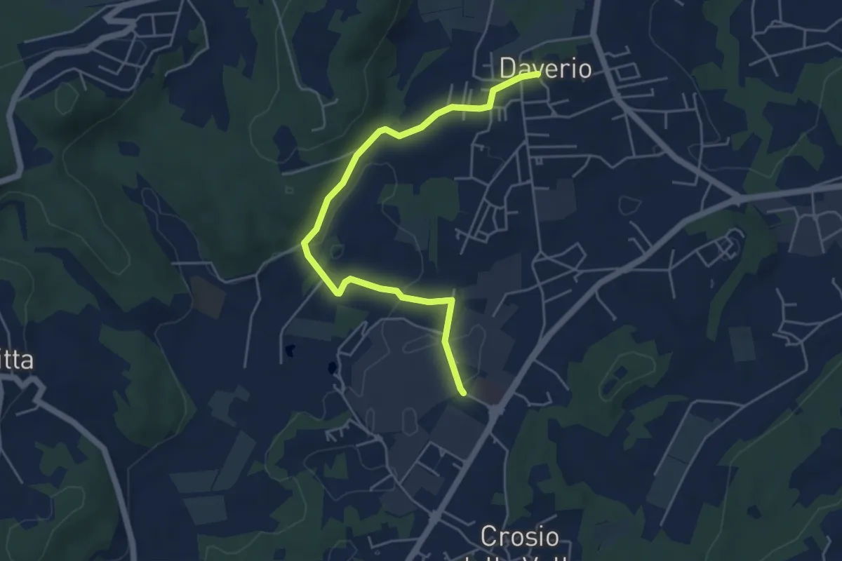
Easy · Trail
Piane Viscontee - Anello di Daverio
5.1 km · ↑ 66 m · 1 h 21 min · 15 km away
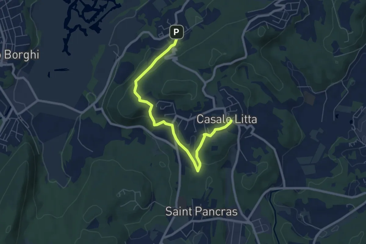
Easy · Trail
Piane Viscontee - Anello di Casale Litta
6.7 km · ↑ 183 m · 1 h 59 min · 15 km away
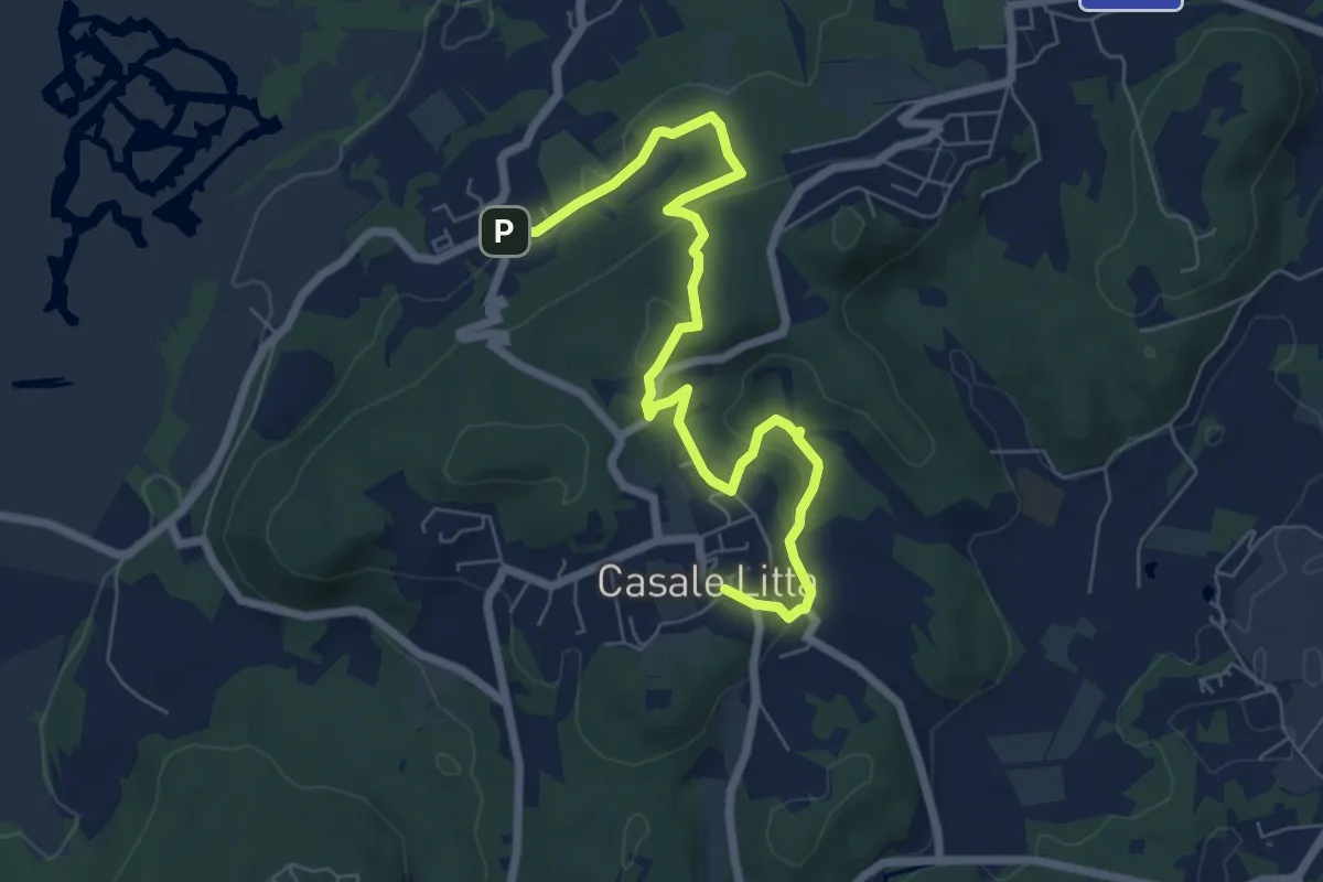
Easy · Trail
Piane Viscontee - Anello di Casale Litta
7.7 km · ↑ 219 m · 2 h 18 min · 15 km away
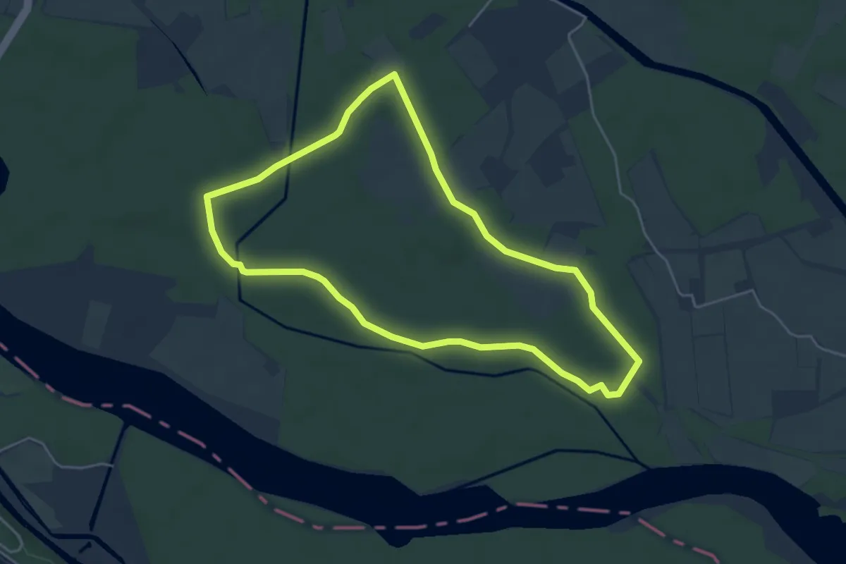
Easy · Trail
Bosco Faggiole
4.6 km · ↑ 9 m · 1 h 10 min · 15 km away