Trails near Carini
31 hikes starting within 15 km, nearest first.
Nearest first
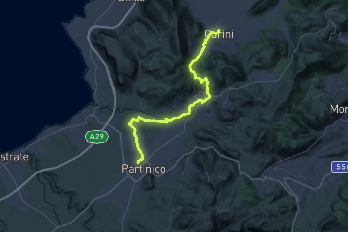
Demanding · Trail
Carini - Montelepre - Partinico
18.9 km · ↑ 563 m · 5 h 56 min · under 1 km away
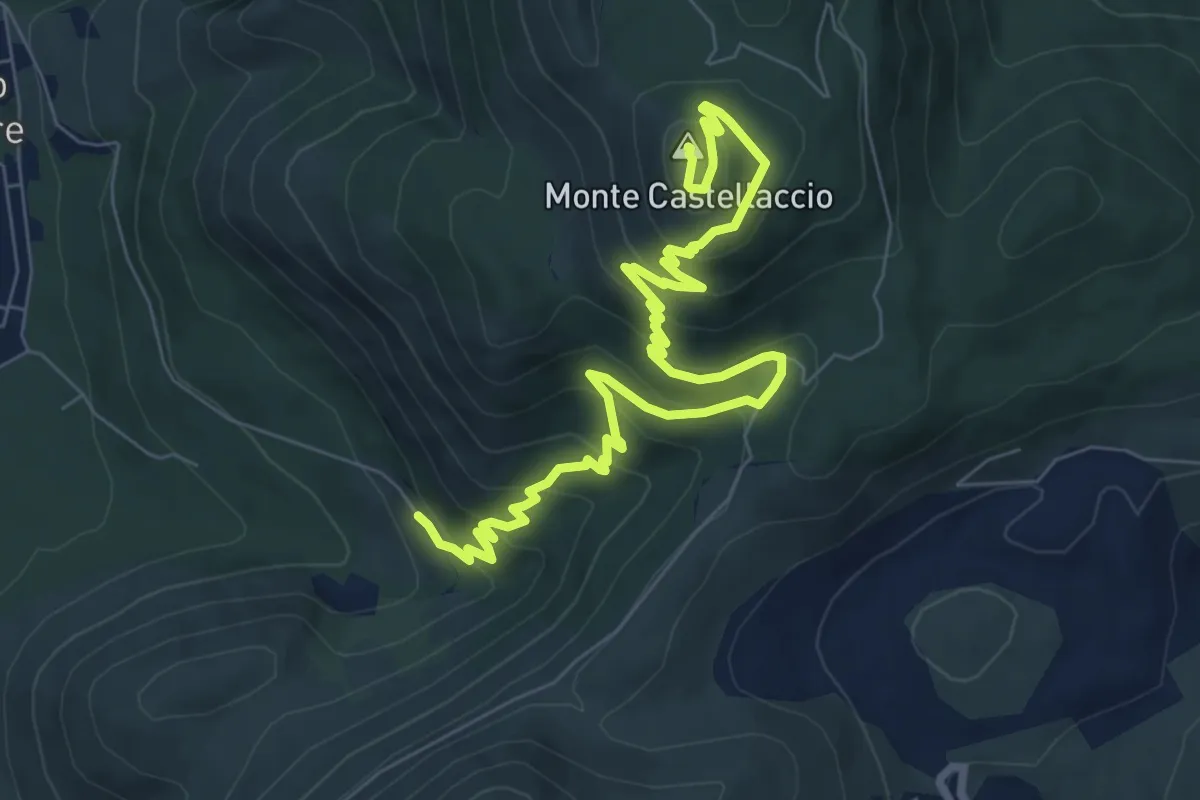
Medium · Summit
Capaci - Cda Soprabanco – Monte Castellaccio
11.2 km · ↑ 576 m · 3 h 54 min · 6 km away
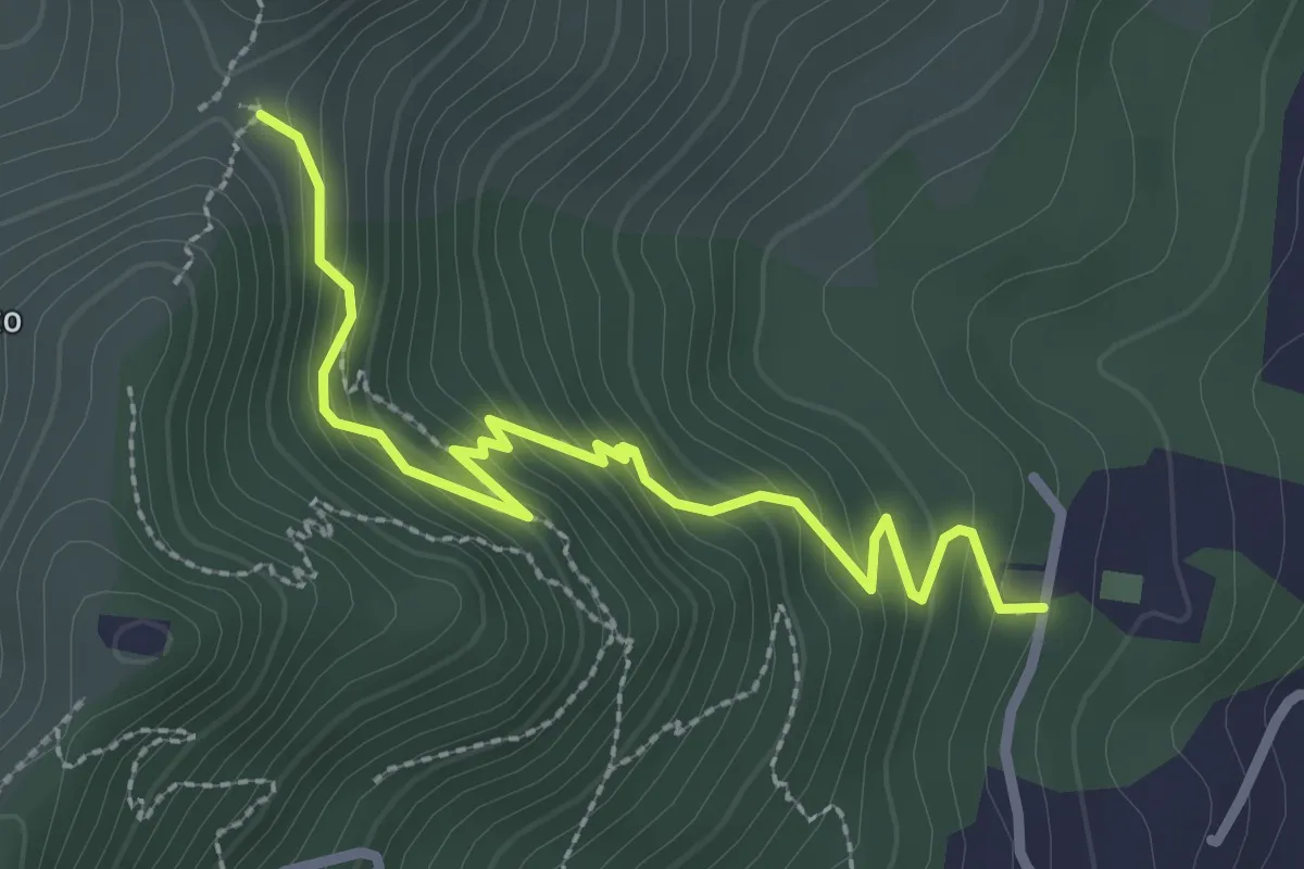
Easy · Trail
Istituto Padre Francesco Spoto – Portella S. Anna.
3.3 km · ↑ 252 m · 1 h 20 min · 7 km away
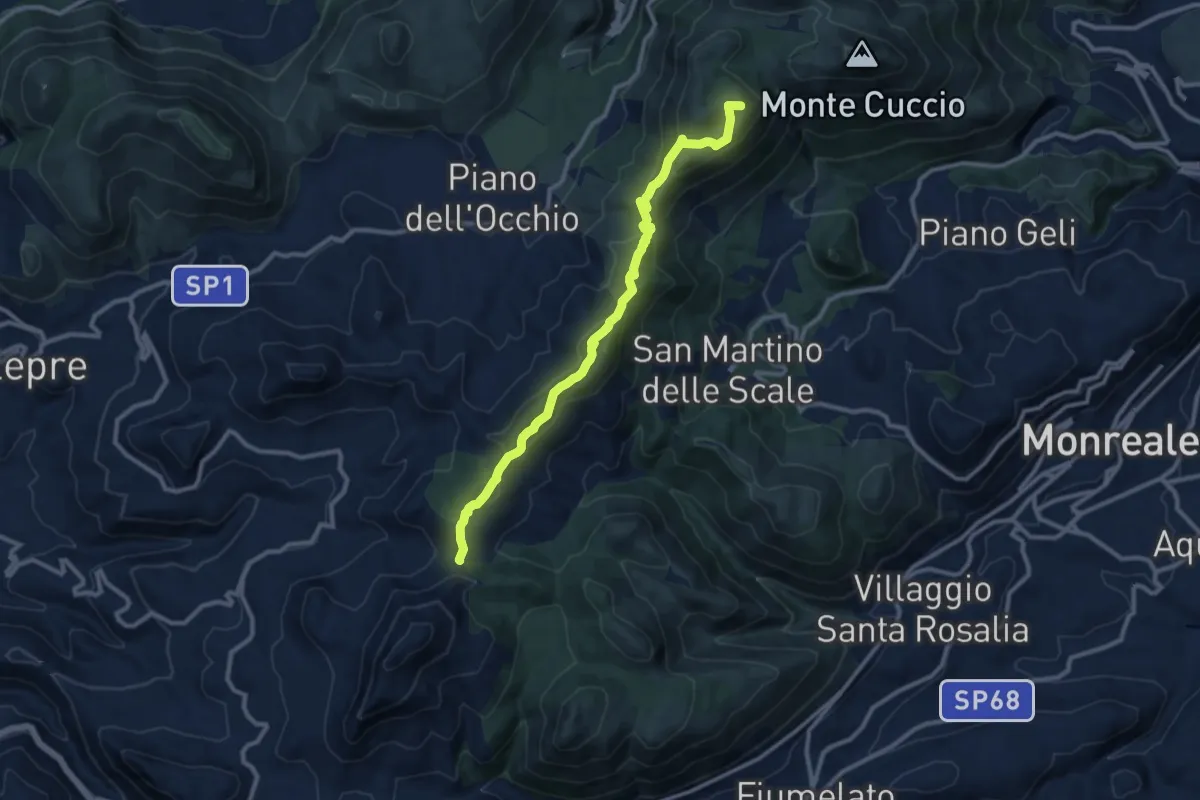
Medium · Summit
Portella Bianca – Portella Torretta
12.2 km · ↑ 579 m · 4 h 8 min · 7 km away
Medium · Summit
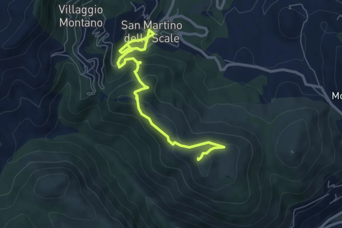
lwn 146
7.0 km · ↑ 423 m · 2 h 33 min · 8 km away
Medium · Summit
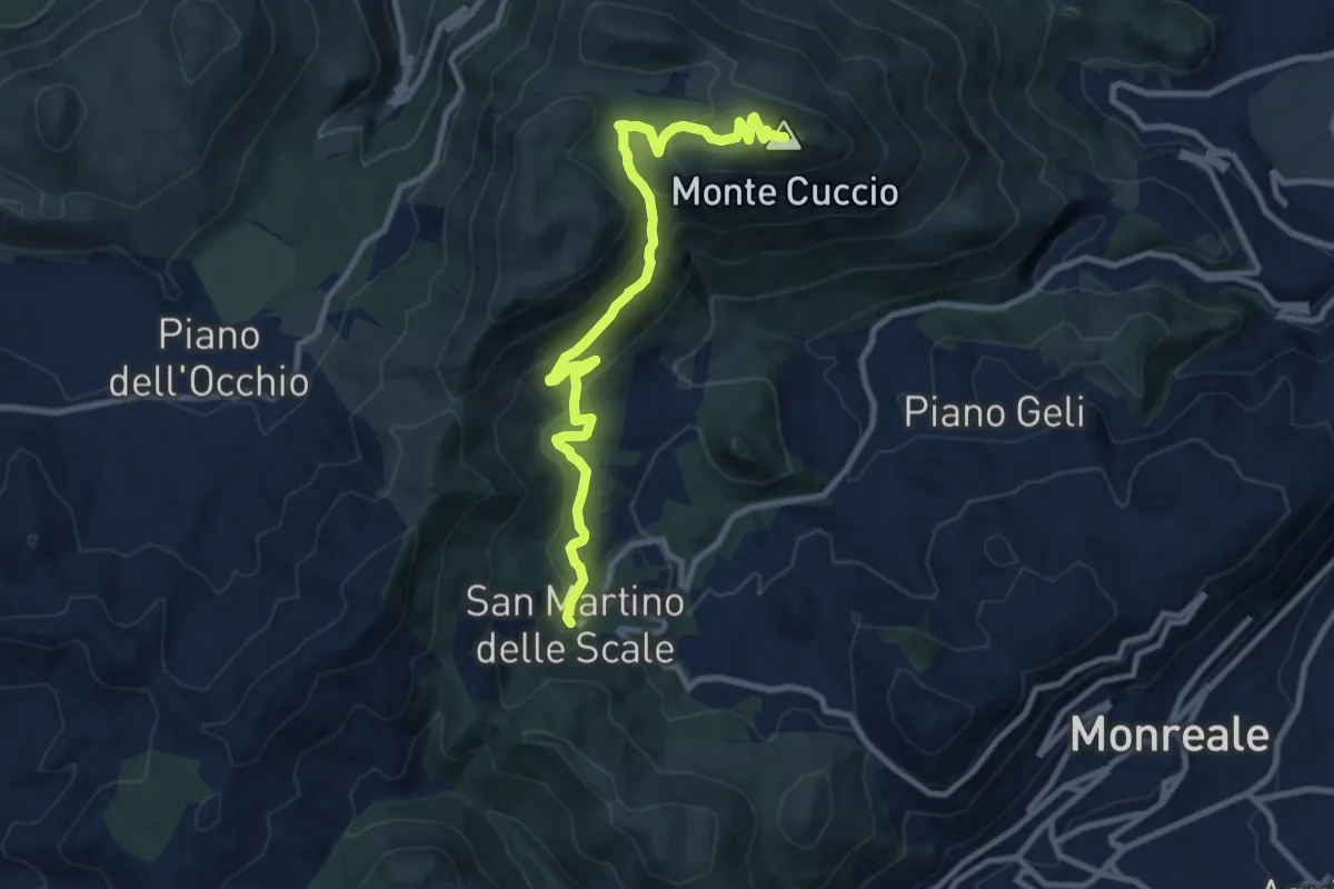
S. Martino delle Scale – Monte Cuccio
11.8 km · ↑ 563 m · 4 h · 8 km away
Easy · Trail
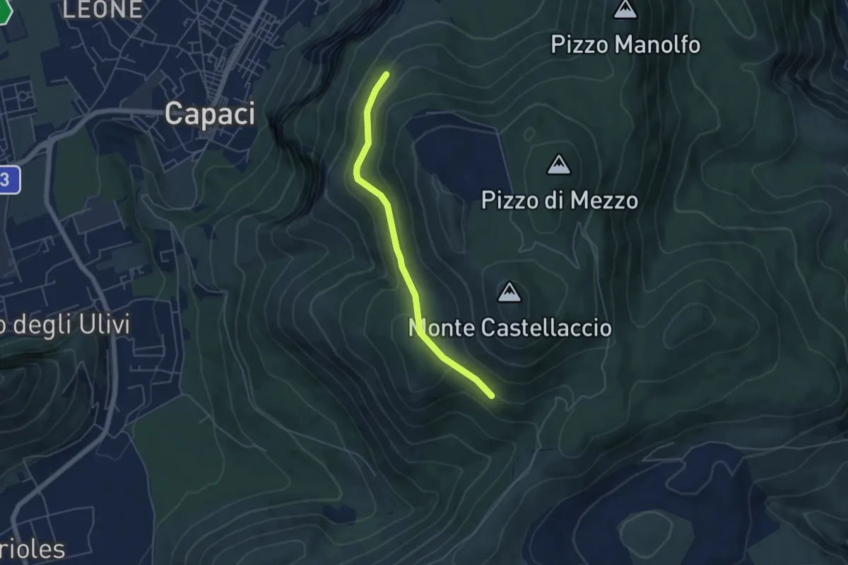
Sentiero 167 – Sentiero 165
5.2 km · ↑ 152 m · 1 h 34 min · 8 km away
Easy · Trail
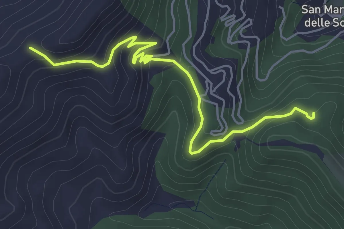
Case Neviera – Serra Dell'Occhio
5.5 km · ↑ 314 m · 1 h 59 min · 8 km away
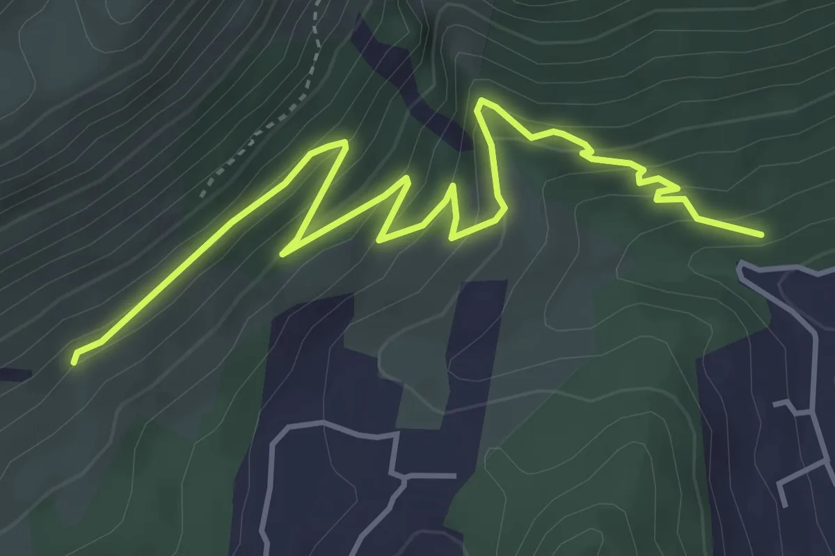
Medium · Trail
Sentiero 152 – Grotta del Vallone d’Inverno e Sentiero 148
5.7 km · ↑ 359 m · 2 h 7 min · 8 km away
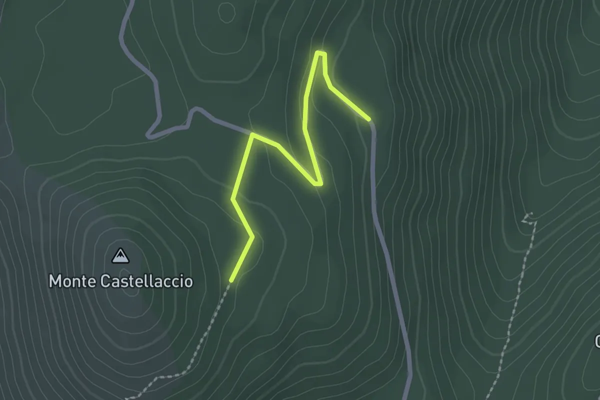
Easy · Trail
Piano Subbaco – Monte Castellaccio
2.2 km · ↑ 77 m · 42 min · 8 km away
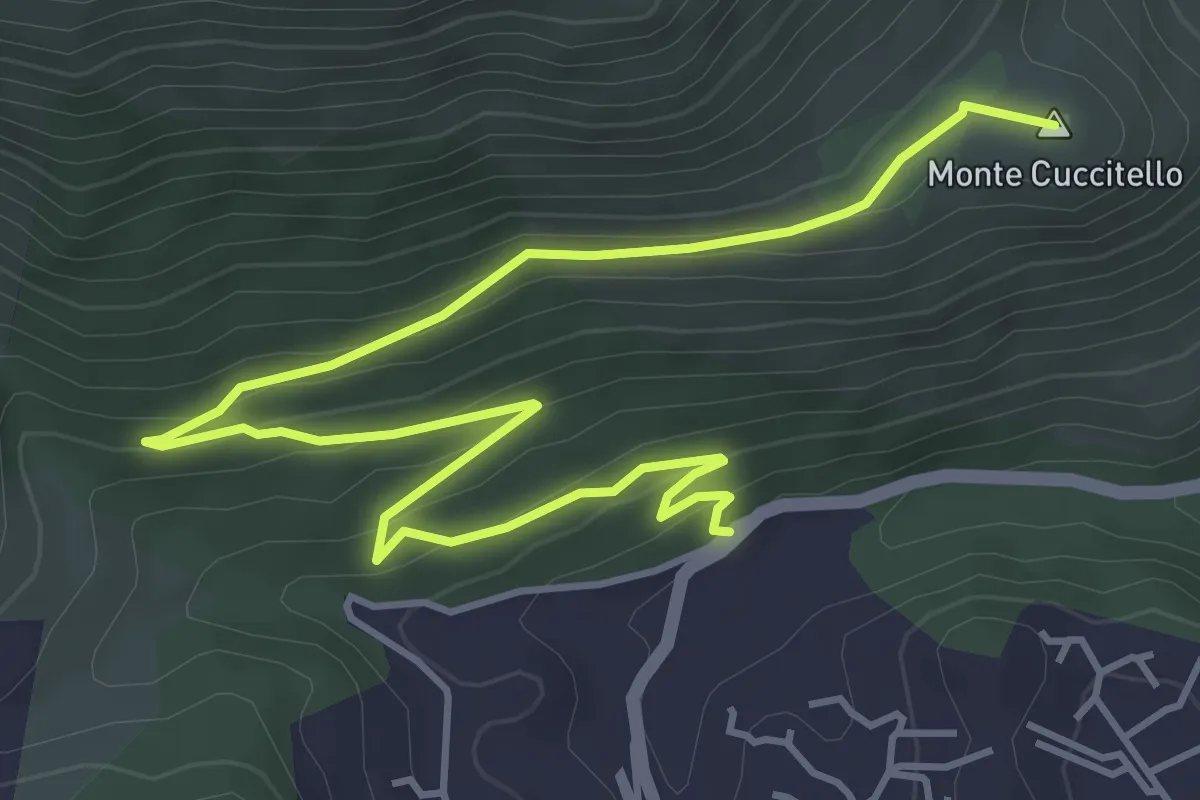
Easy · Summit
Ingresso Forestale valle del Paradiso – Casa Forestale Monte Cuccitello
6.8 km · ↑ 256 m · 2 h 10 min · 8 km away
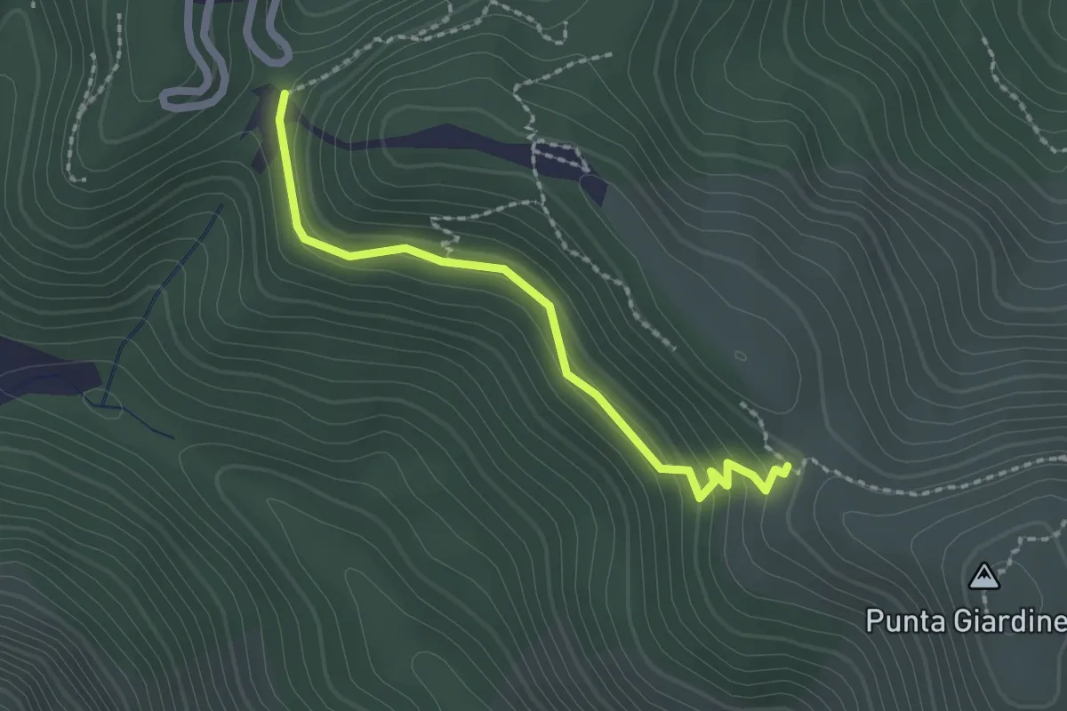
Easy · Trail
Sentiero 146 – Sentiero 147
2.2 km · ↑ 102 m · 45 min · 9 km away
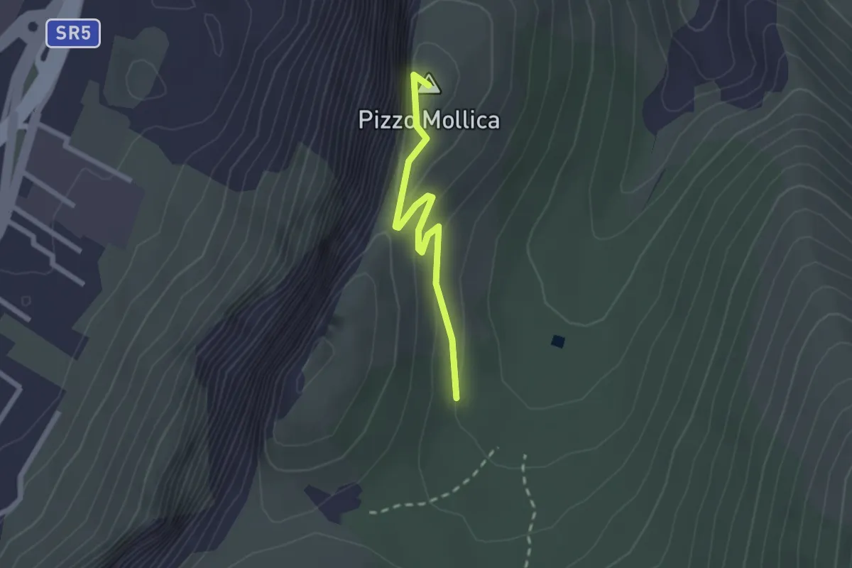
Easy · Summit
Mandria Raffo Rosso – Pizzo Mollica
2.2 km · ↑ 154 m · 52 min · 9 km away
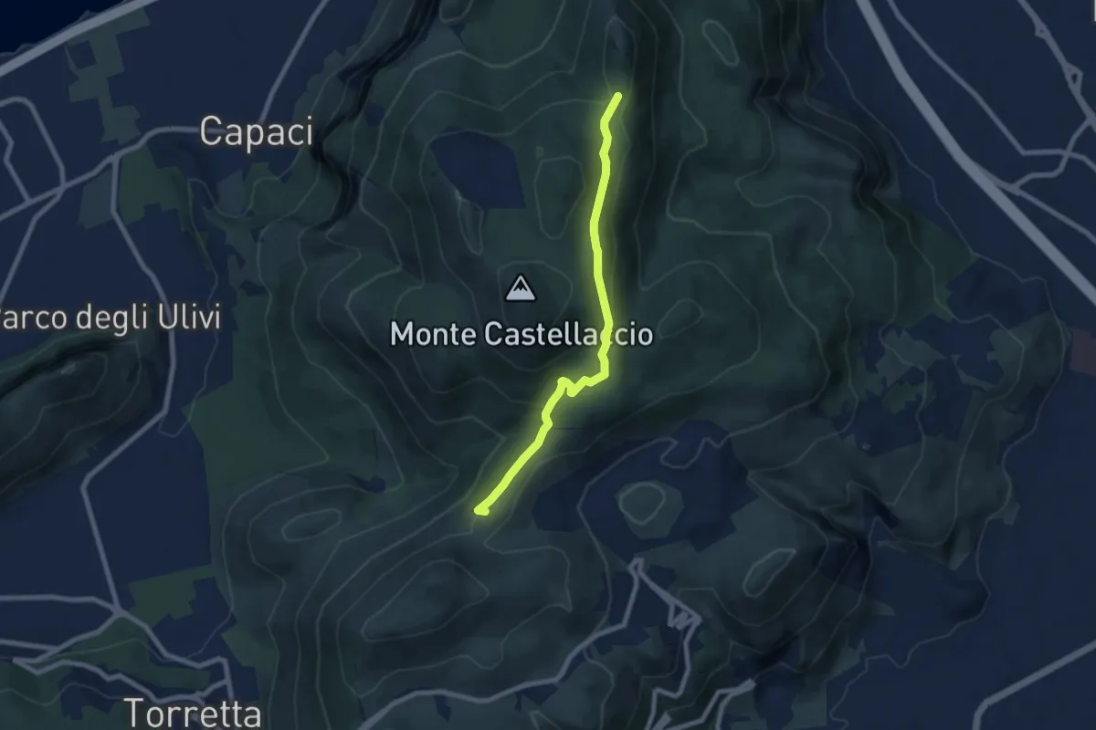
Easy · Summit
Portella Torretta – Pizzo Manolfo
8.0 km · ↑ 229 m · 2 h 23 min · 9 km away
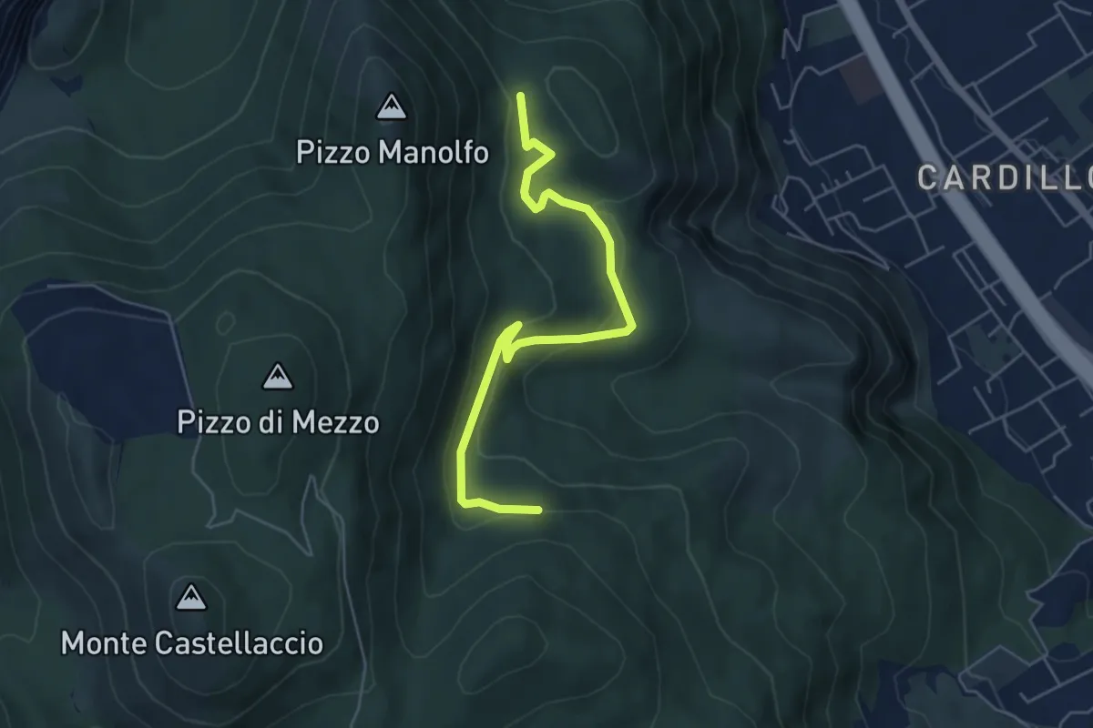
Easy · Trail
Mandra Megna - semt. 161 – Piano Cardone - sent. 163
6.2 km · ↑ 228 m · 1 h 58 min · 10 km away
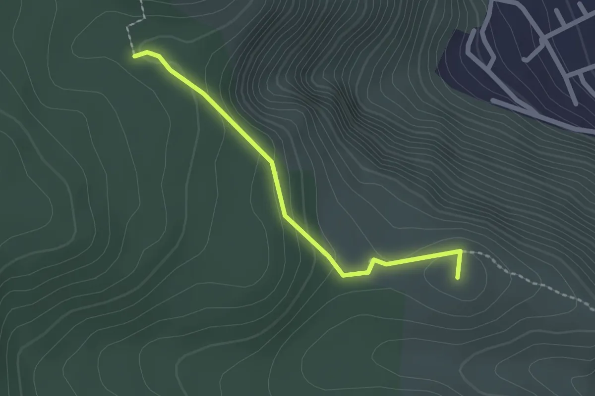
Easy · Summit
Bivio Sentiero 162 e 162A – Cozzo di Paola
2.1 km · ↑ 97 m · 42 min · 10 km away
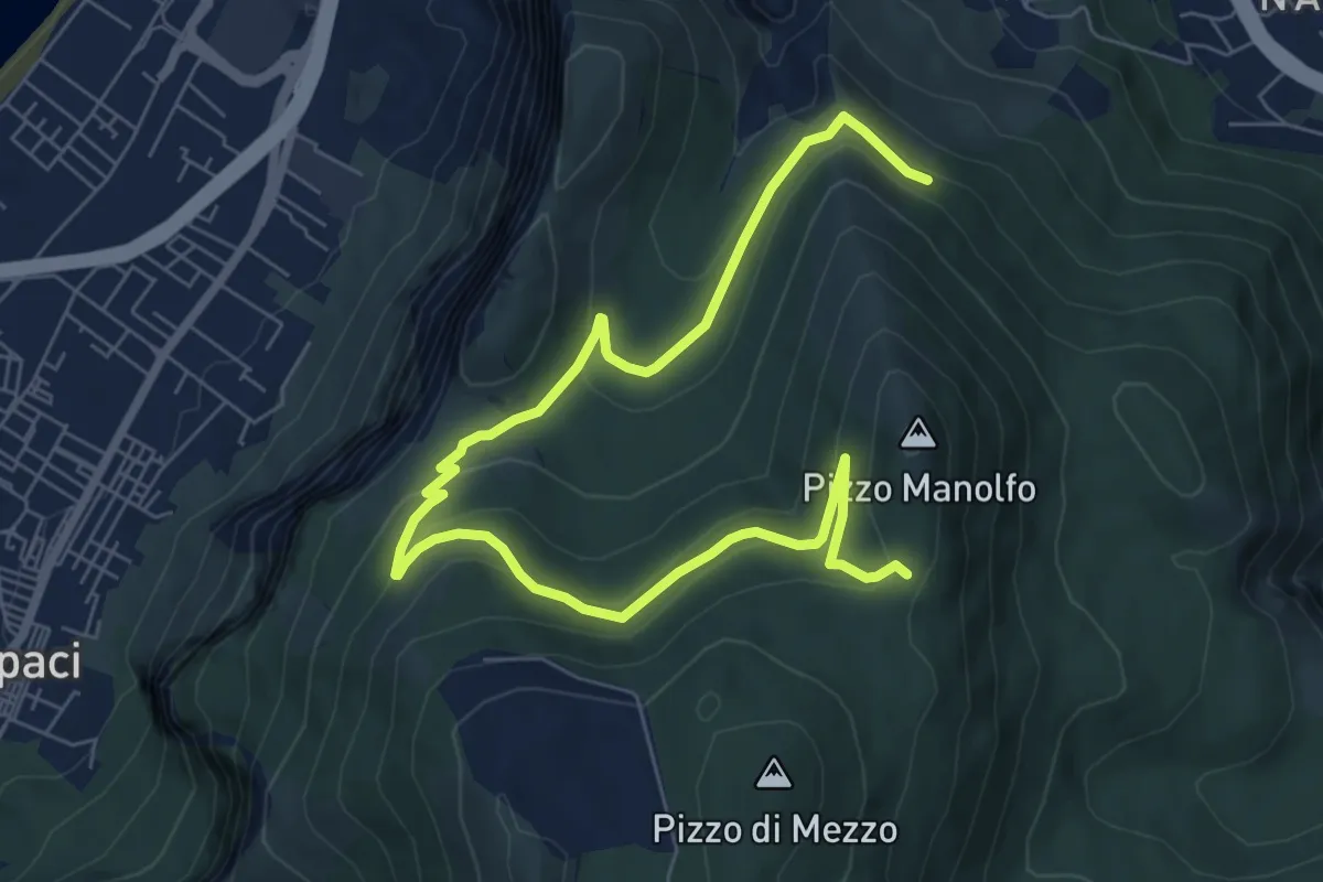
Medium · Trail
Punta Matese – Pizzo Manolfo
10.6 km · ↑ 422 m · 3 h 25 min · 10 km away
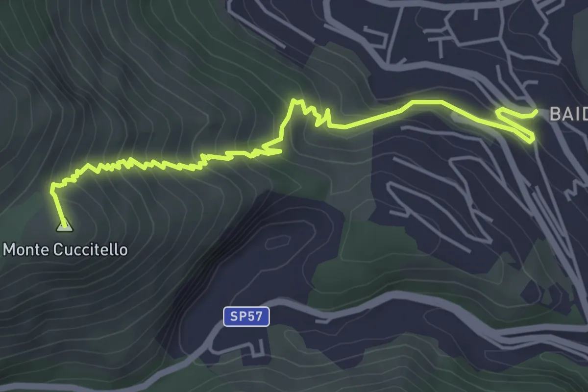
Medium · Summit
Baida – Abbeveratoio della Montagna
5.8 km · ↑ 447 m · 2 h 20 min · 10 km away
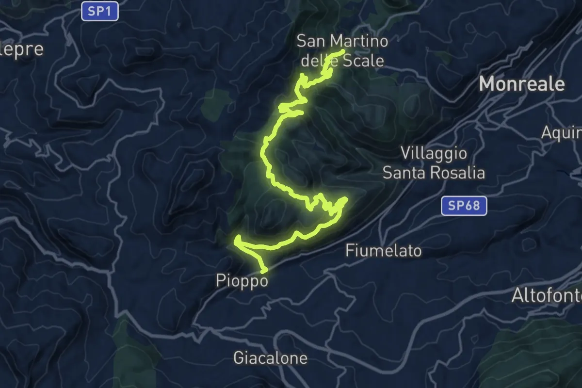
Medium · Trail
Il Cammino dei Mille - Tappa 2
12.8 km · ↑ 619 m · 4 h 30 min · 10 km away
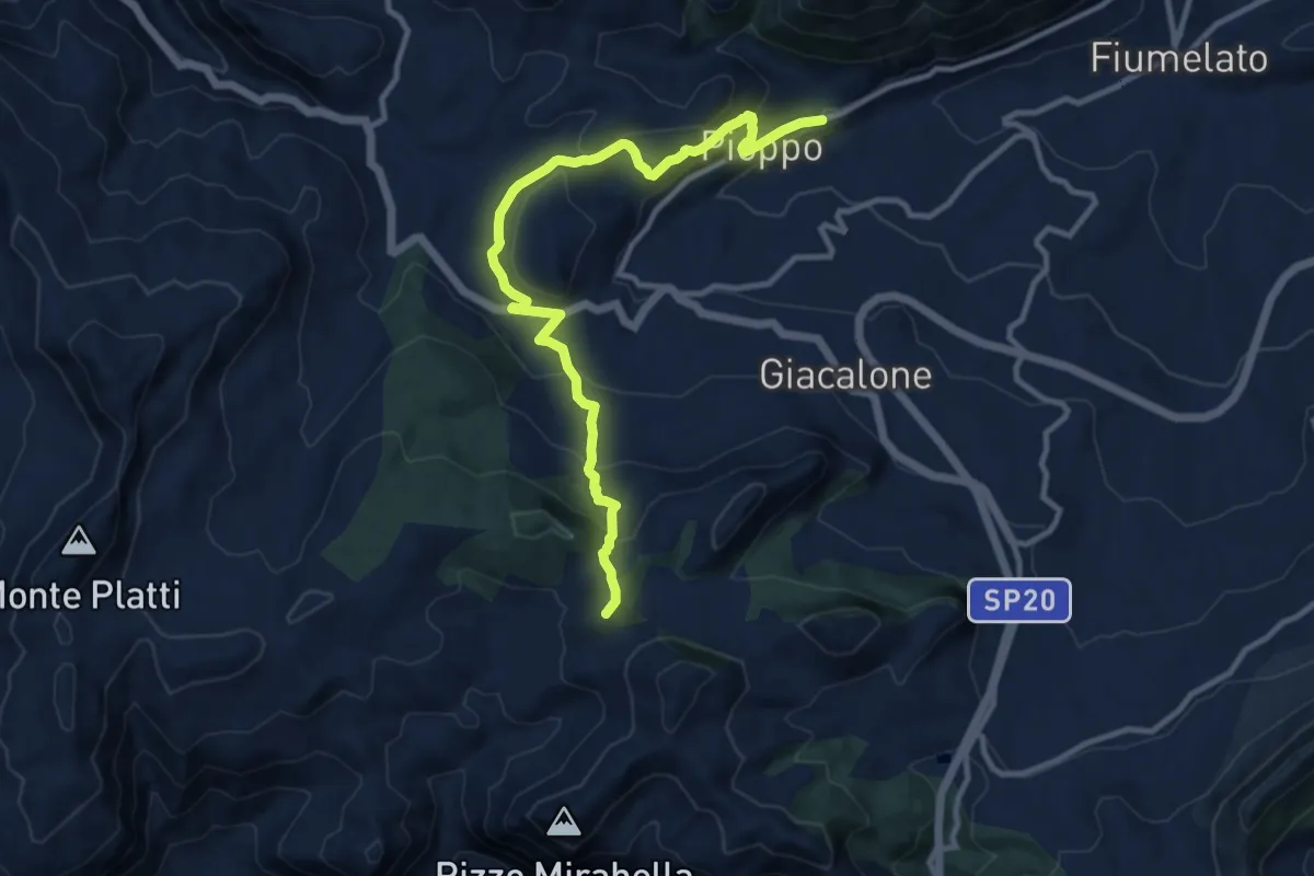
Medium · Summit
Il Cammino dei Mille - Tappa 3
13.4 km · ↑ 594 m · 4 h 27 min · 10 km away
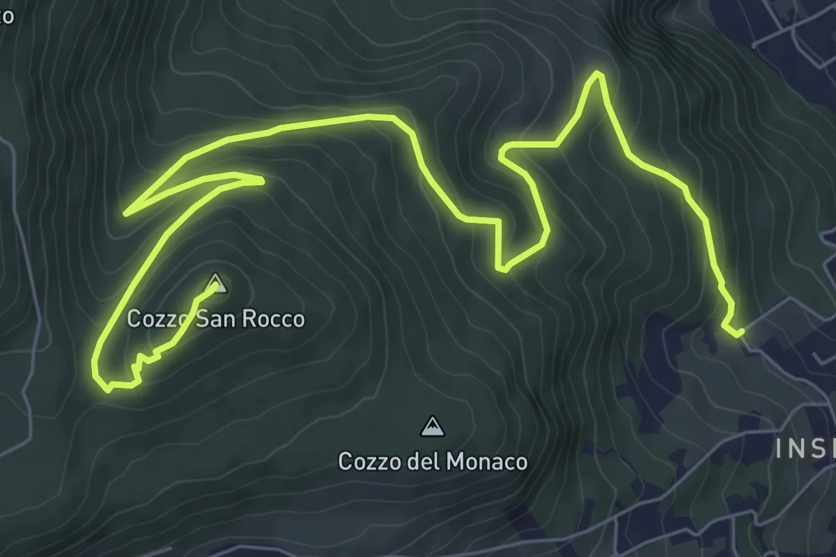
Medium · Summit
via Falzone – Cozzo S. Rocco
11.8 km · ↑ 493 m · 3 h 51 min · 10 km away
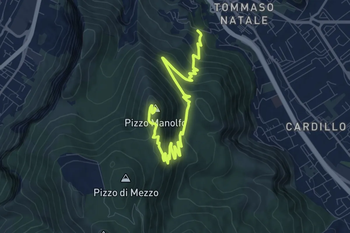
Medium · Summit
Contrada Luoghiceddi – Pizzo Manolfo
13.0 km · ↑ 655 m · 4 h 30 min · 11 km away
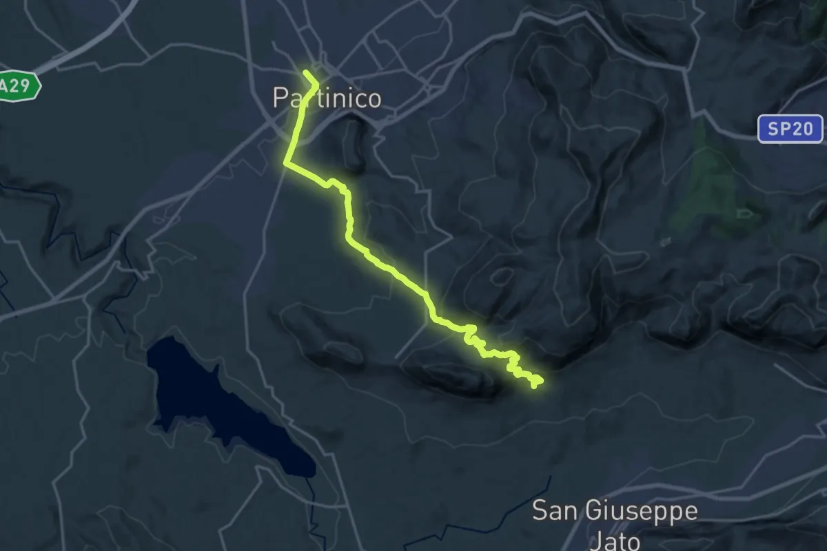
Demanding · Trail
Partinico - Masseria Signora S.I.
21.2 km · ↑ 866 m · 6 h 54 min · 11 km away
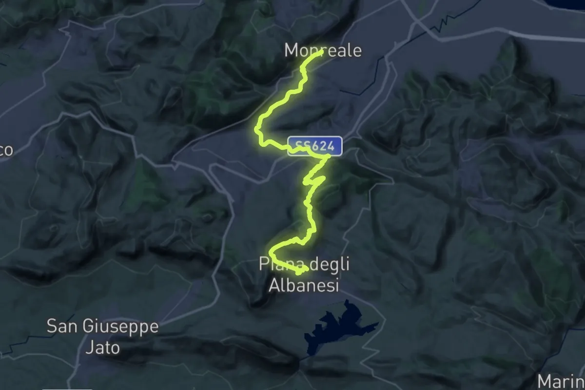
Demanding · Trail
Itinerarium Rosaliae - Tappa 10
21.0 km · ↑ 1077 m · 7 h 23 min · 11 km away
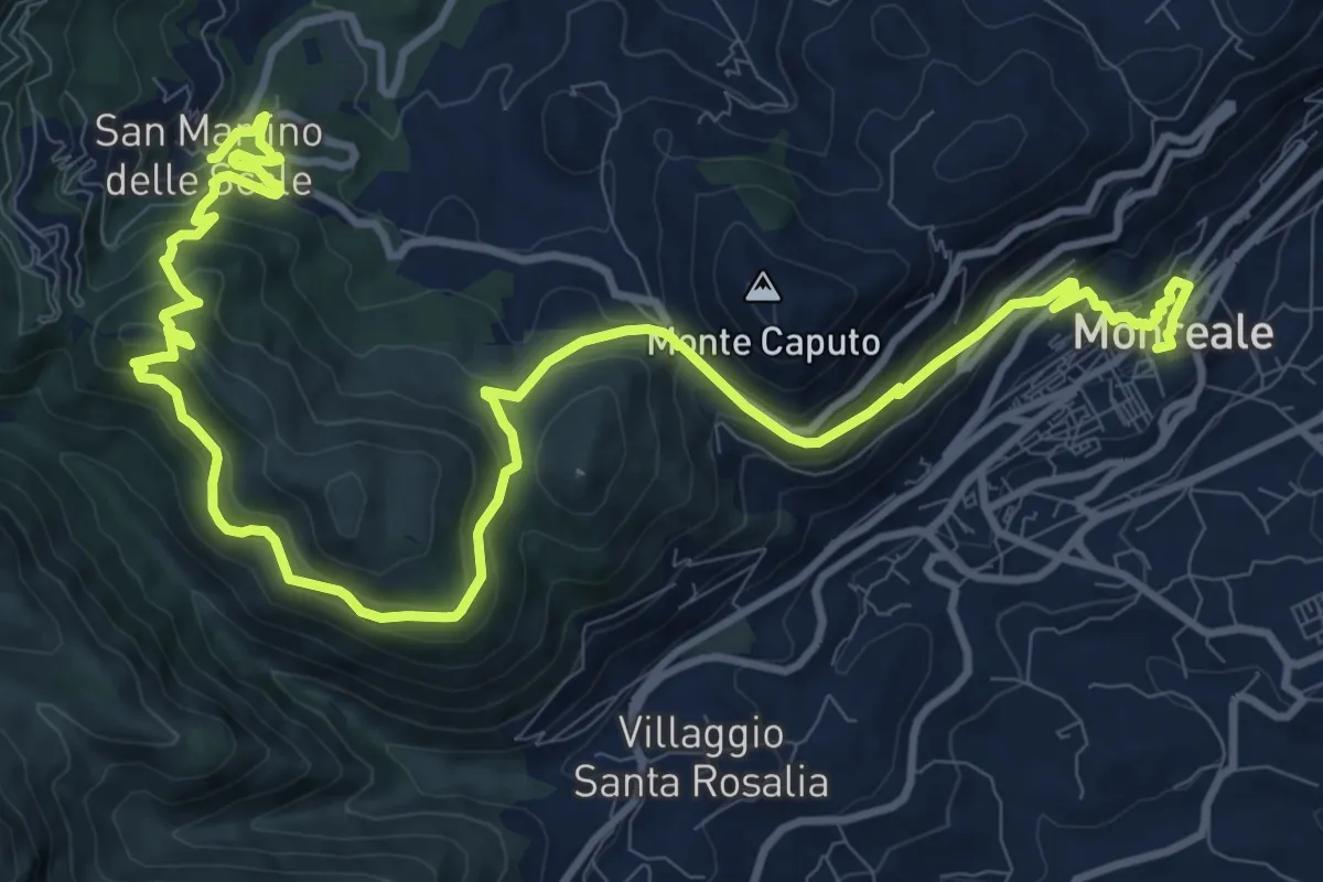
Demanding · Trail
Il Cammino dei Mille - Tappa 1
18.3 km · ↑ 892 m · 6 h 15 min · 11 km away
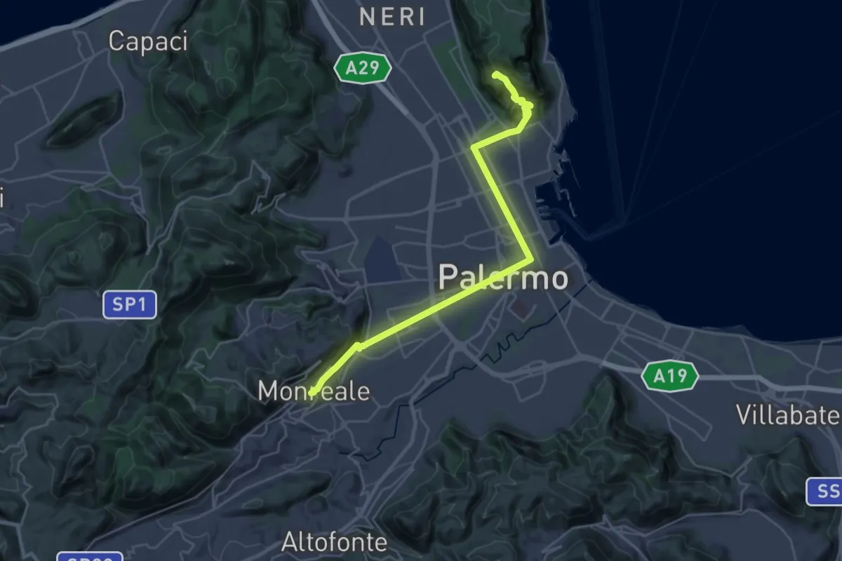
Demanding · Summit
Itinerarium Rosaliae - Tappa 11
30.6 km · ↑ 1153 m · 9 h 43 min · 11 km away
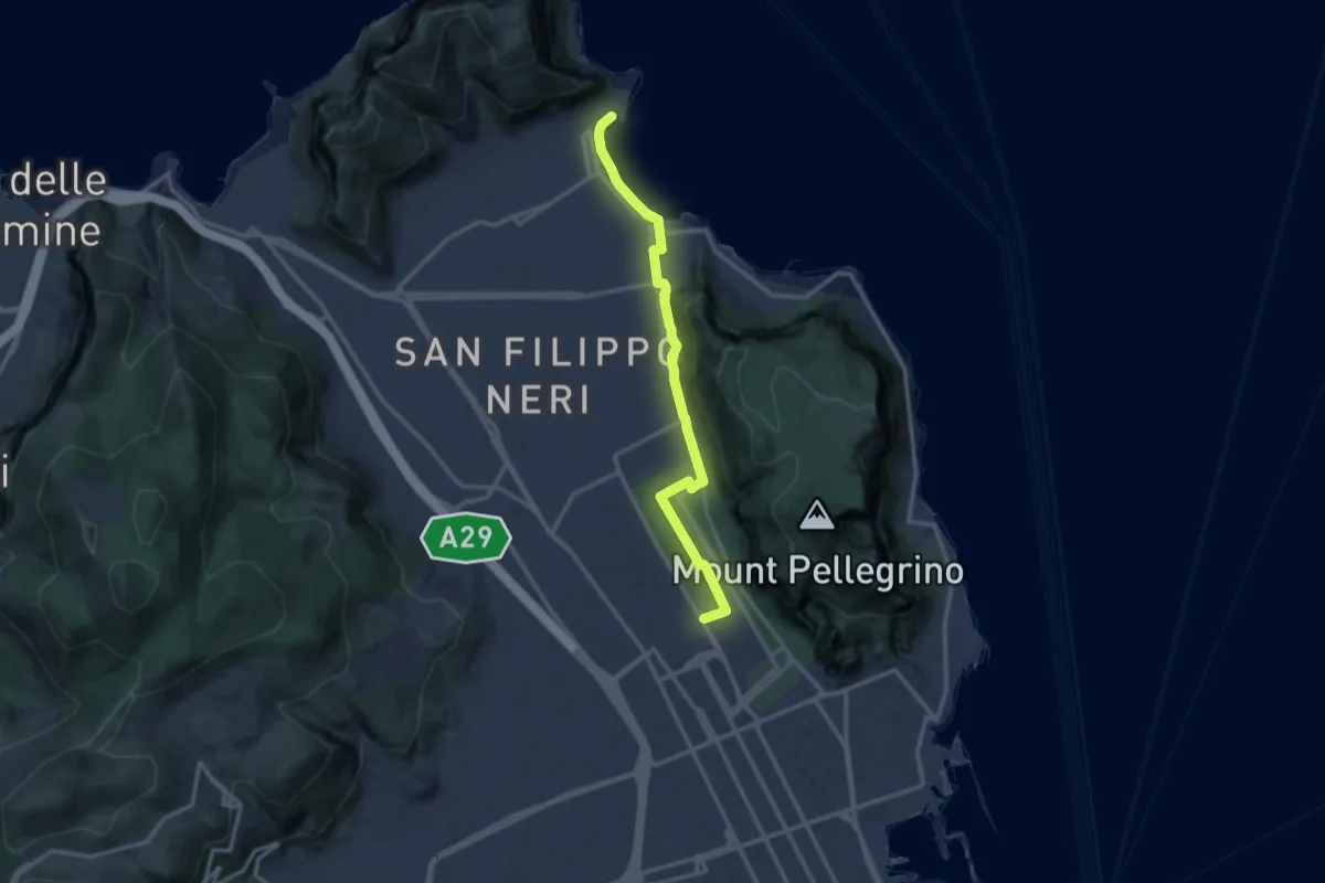
Medium · Trail
Stadio delle Palme – Mondello
14.4 km · ↑ 138 m · 3 h 42 min · 14 km away
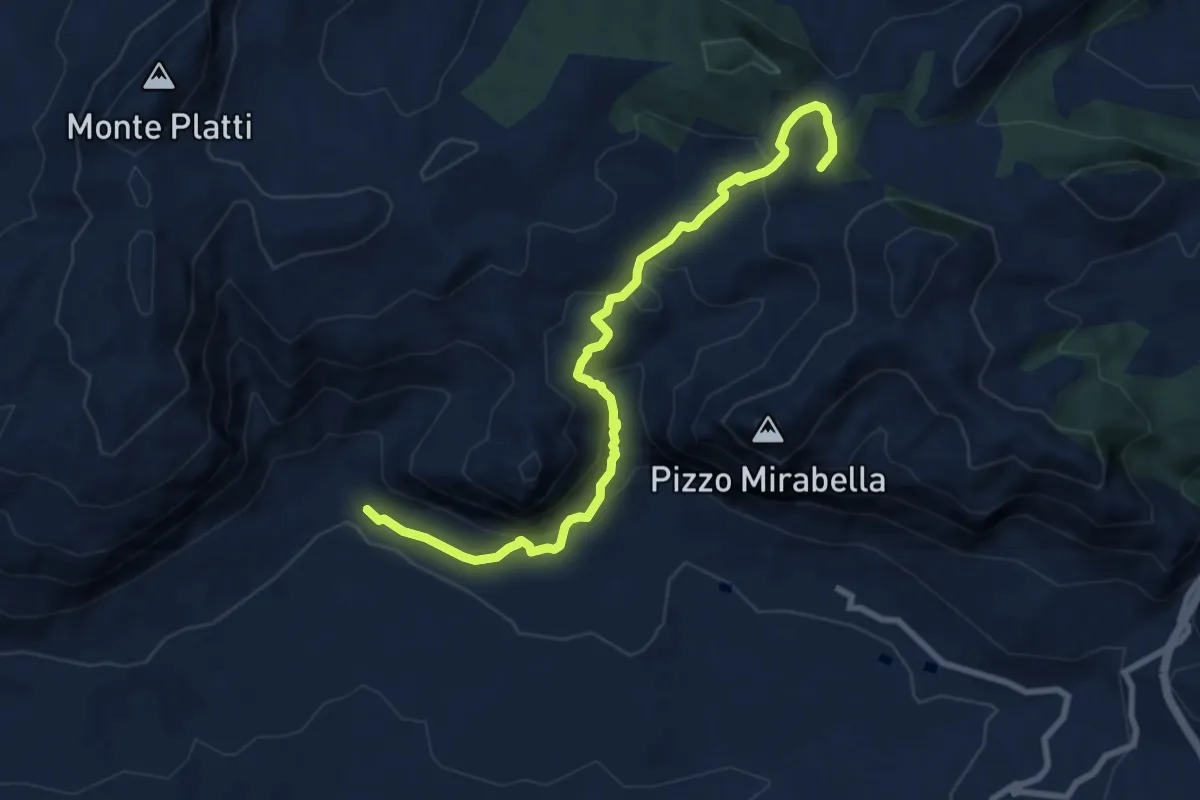
Medium · Summit
Masseria Dammusi – Piana degli Albanesi
10.3 km · ↑ 538 m · 3 h 36 min · 14 km away
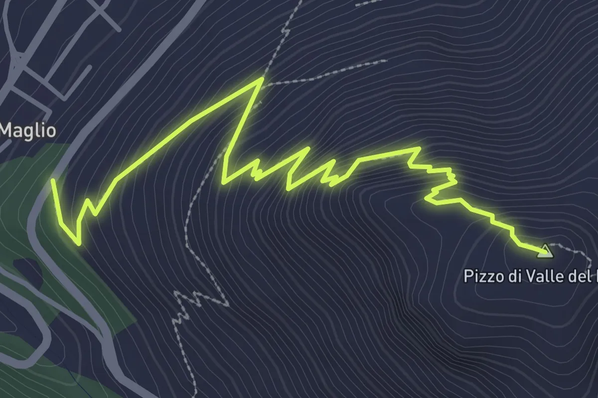
Medium · Summit
Accesso Demanio Valle Fico – Pizzo Valle Fico
4.7 km · ↑ 446 m · 2 h 5 min · 14 km away
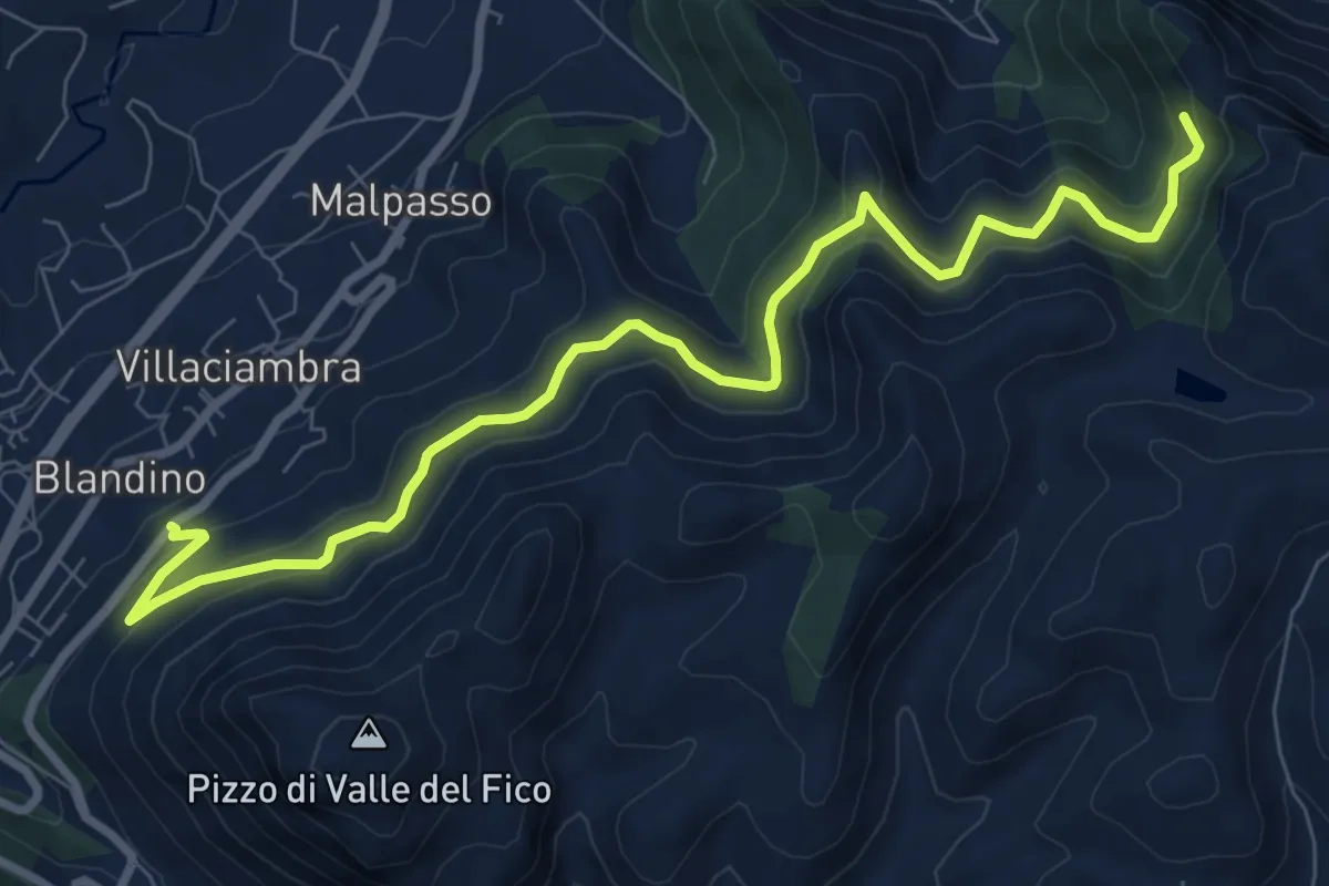
Medium · Trail
Scala Masello - sentiero 113 – Ingresso Demanio Villaciambra
11.1 km · ↑ 521 m · 3 h 44 min · 14 km away
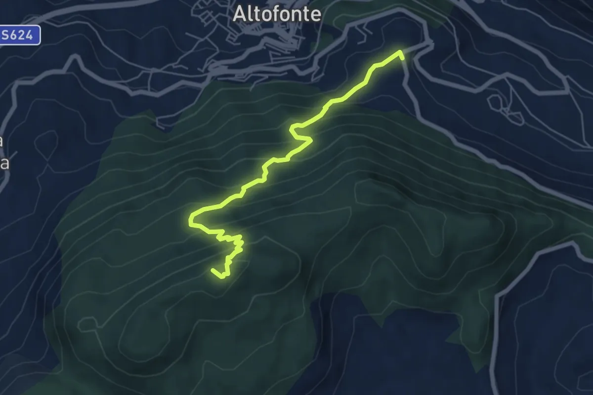
Medium · Summit
Cozzo di Castro – Punta Moarda
6.4 km · ↑ 520 m · 2 h 39 min · 15 km away