Trails near Carsoli
100 hikes starting within 15 km, nearest first.
Nearest first, page 1 of 3
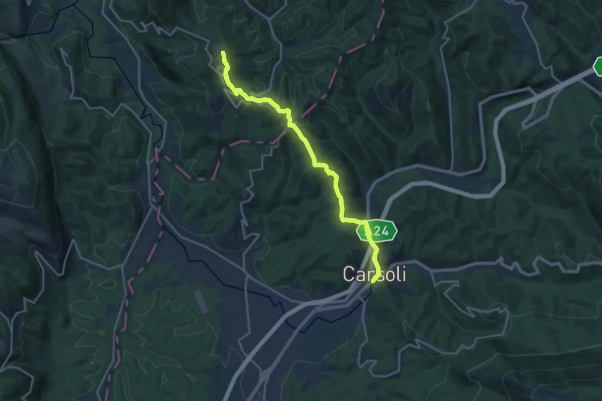
Medium · Summit
Carsoli – Paganico Sabino
14.0 km · ↑ 456 m · 4 h 17 min · under 1 km away
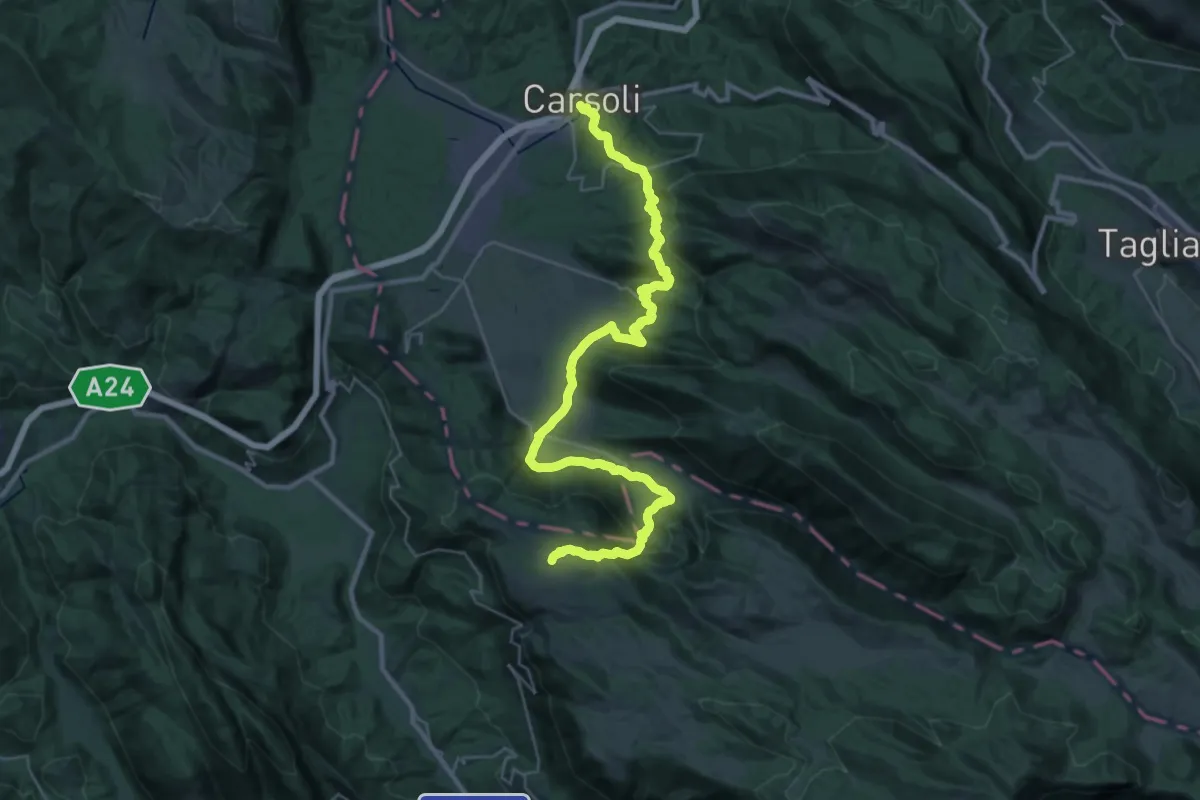
Demanding · Trail
Cervara – Carsoli
21.0 km · ↑ 1039 m · 7 h 13 min · under 1 km away
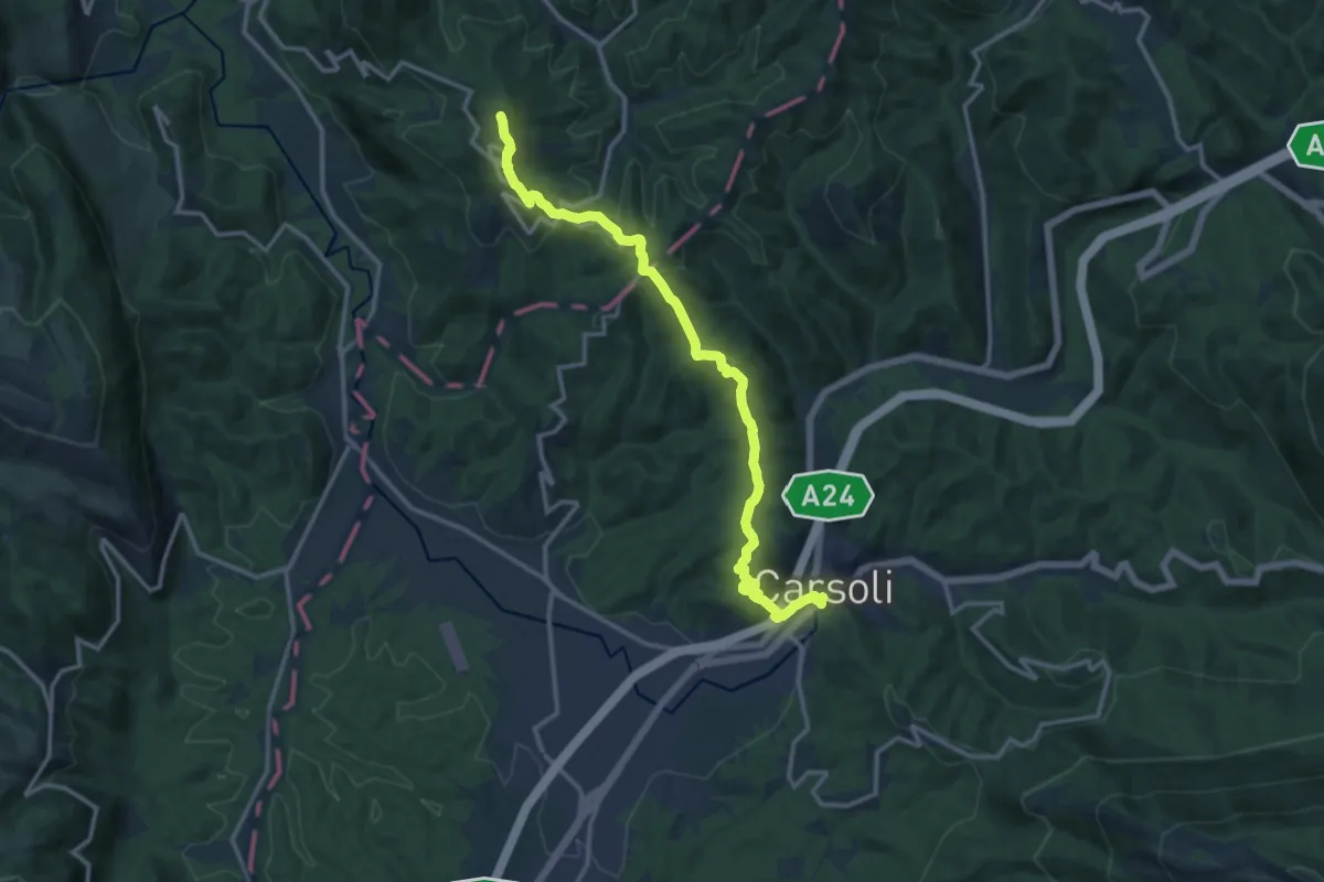
Medium · Summit
Carsoli – Monte San Giovanni
15.7 km · ↑ 514 m · 4 h 49 min · under 1 km away
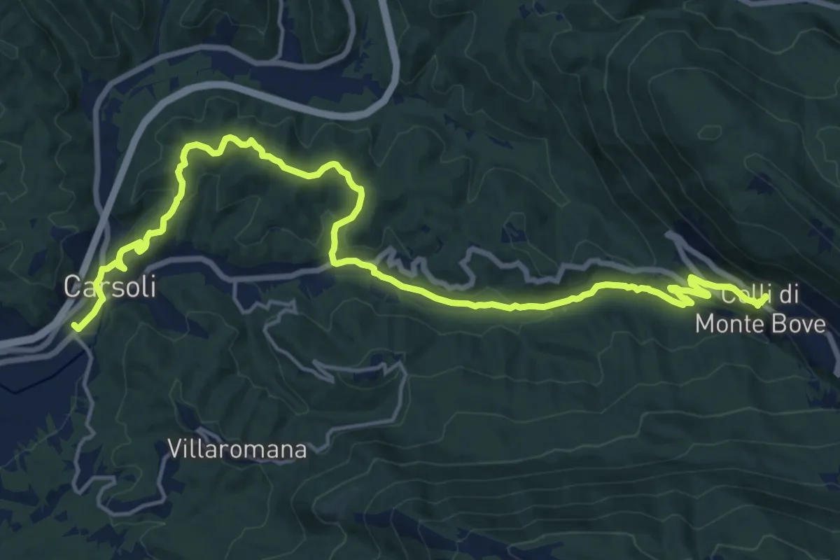
Demanding · Trail
Cammino del Cavaliere - Tappa 1
21.7 km · ↑ 696 m · 6 h 37 min · under 1 km away
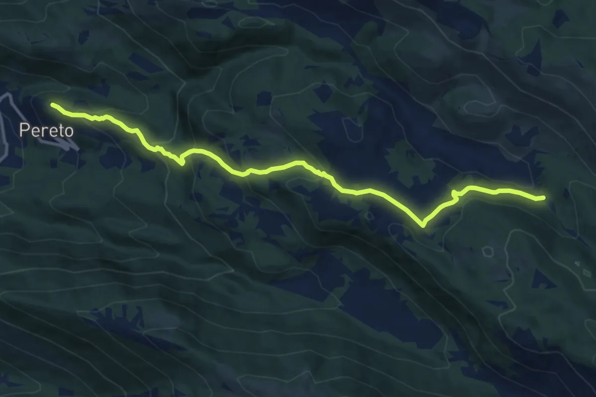
Medium · Trail
Castello Comune di Pereto – Bivio sentiero 502
12.0 km · ↑ 602 m · 4 h 9 min · 5 km away
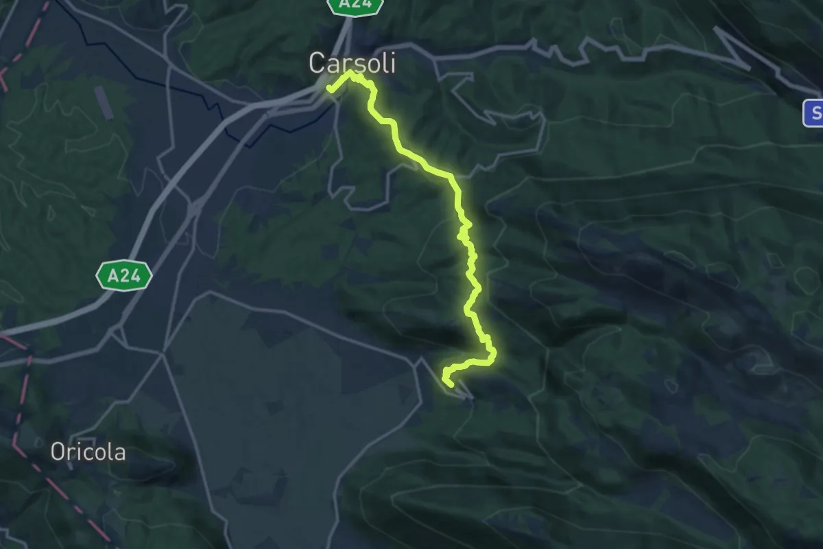
Medium · Trail
Cammino del Cavaliere - Tappa 5
14.9 km · ↑ 692 m · 5 h 1 min · 5 km away
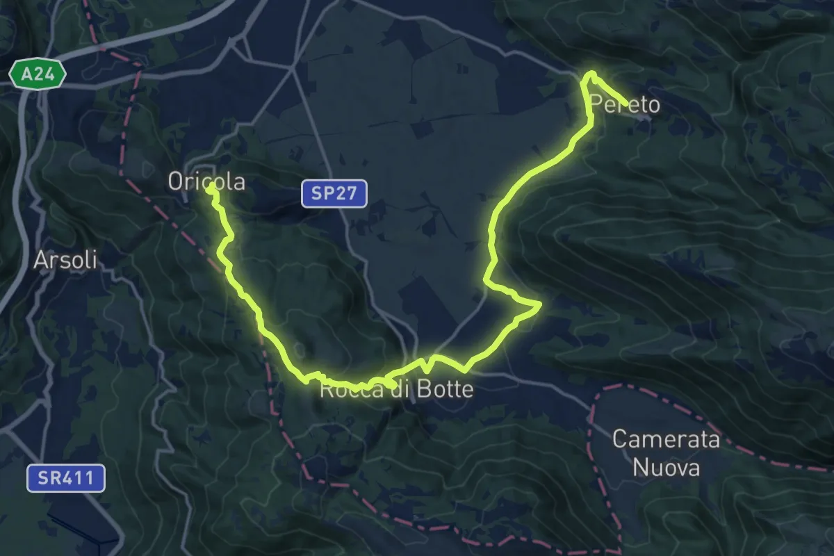
Demanding · Trail
Cammino del Cavaliere - Tappa 4
23.2 km · ↑ 716 m · 7 h 2 min · 5 km away
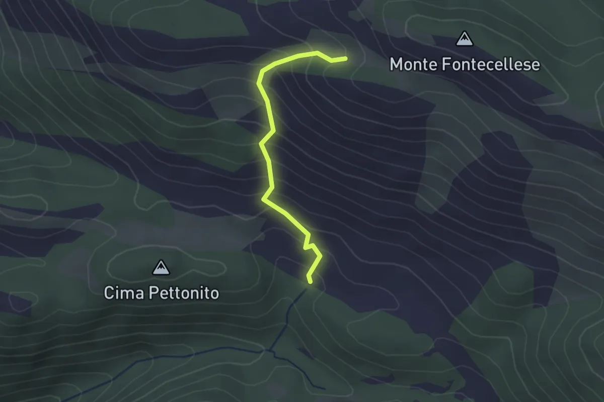
Easy · Trail
Pereto o Villa Romana – Sent. 501 o 502
2.4 km · ↑ 266 m · 1 h 8 min · 5 km away
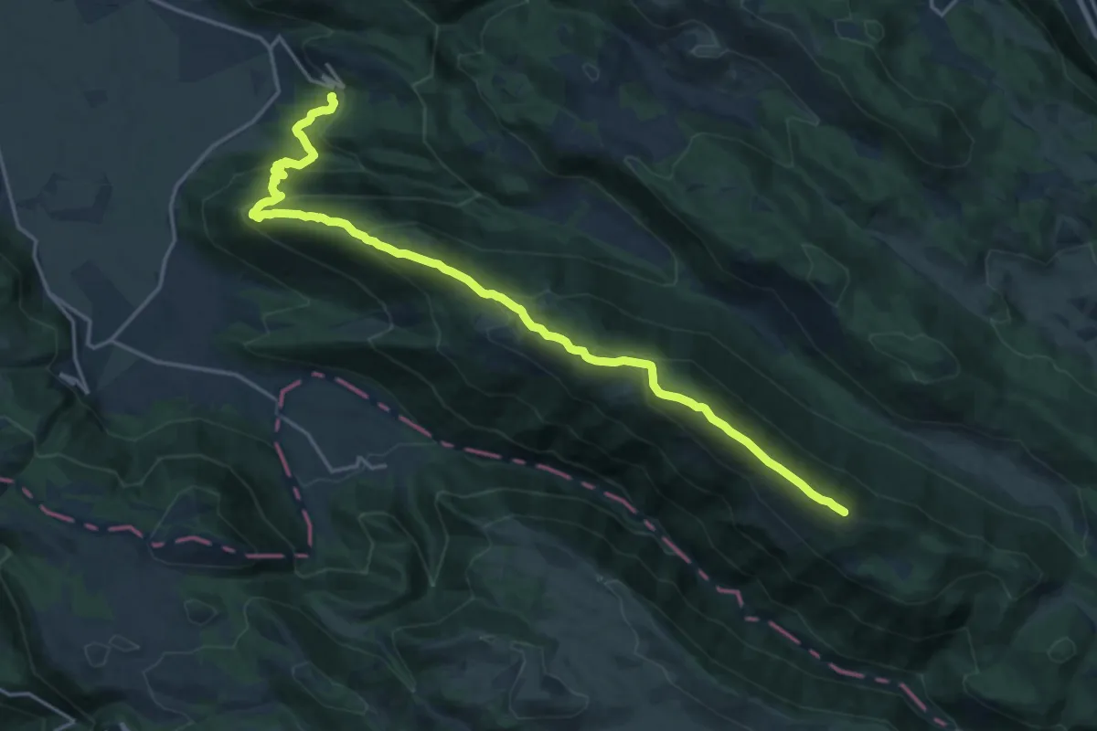
Demanding · Summit
Pereto – Cima di Vallevona
21.5 km · ↑ 1172 m · 7 h 38 min · 5 km away
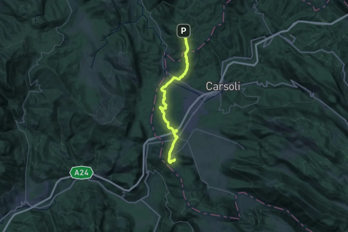
Medium · Trail
Cammino del Cavaliere - Tappa 3
14.4 km · ↑ 317 m · 4 h 22 min · 5 km away
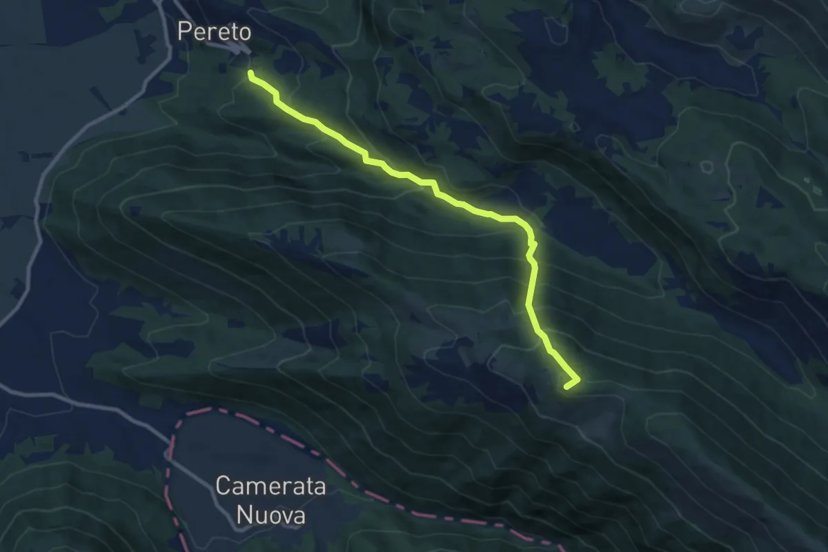
Demanding · Summit
Comune di Pereto – Località Montagnole
9.7 km · ↑ 837 m · 4 h 6 min · 5 km away
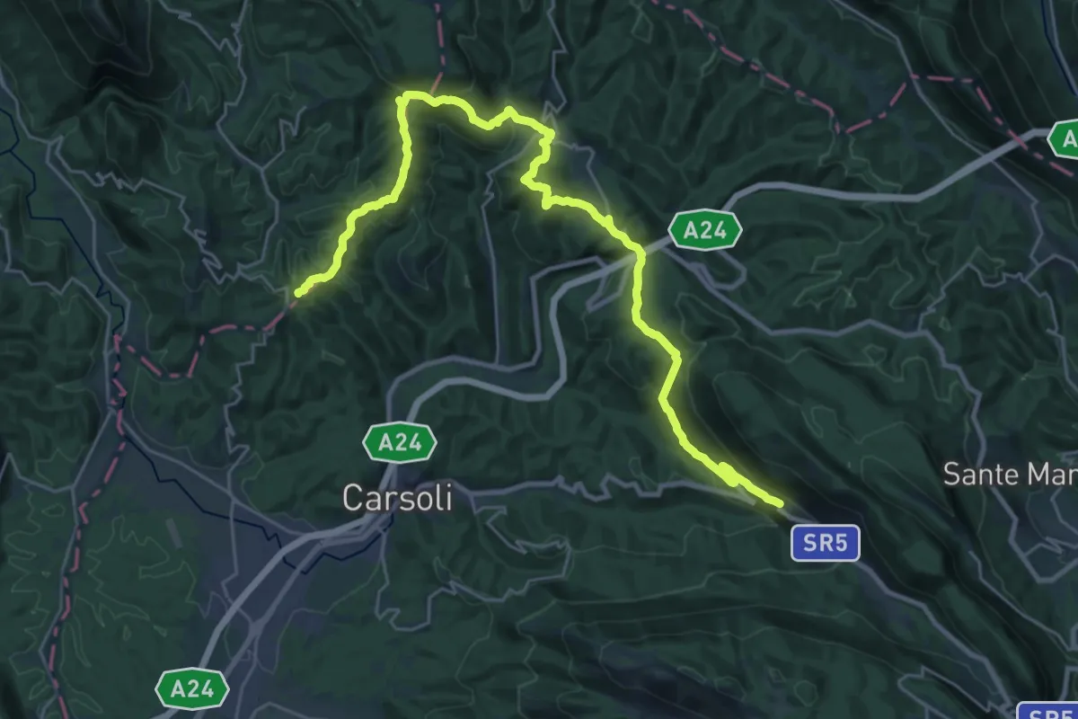
Demanding · Summit
Cammino del Cavaliere - Tappa 2
33.7 km · ↑ 1218 m · 10 h 36 min · 6 km away
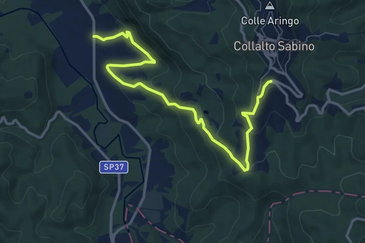
Medium · Trail
Ascrea - Collalto Sabino
8.6 km · ↑ 360 m · 2 h 48 min · 6 km away
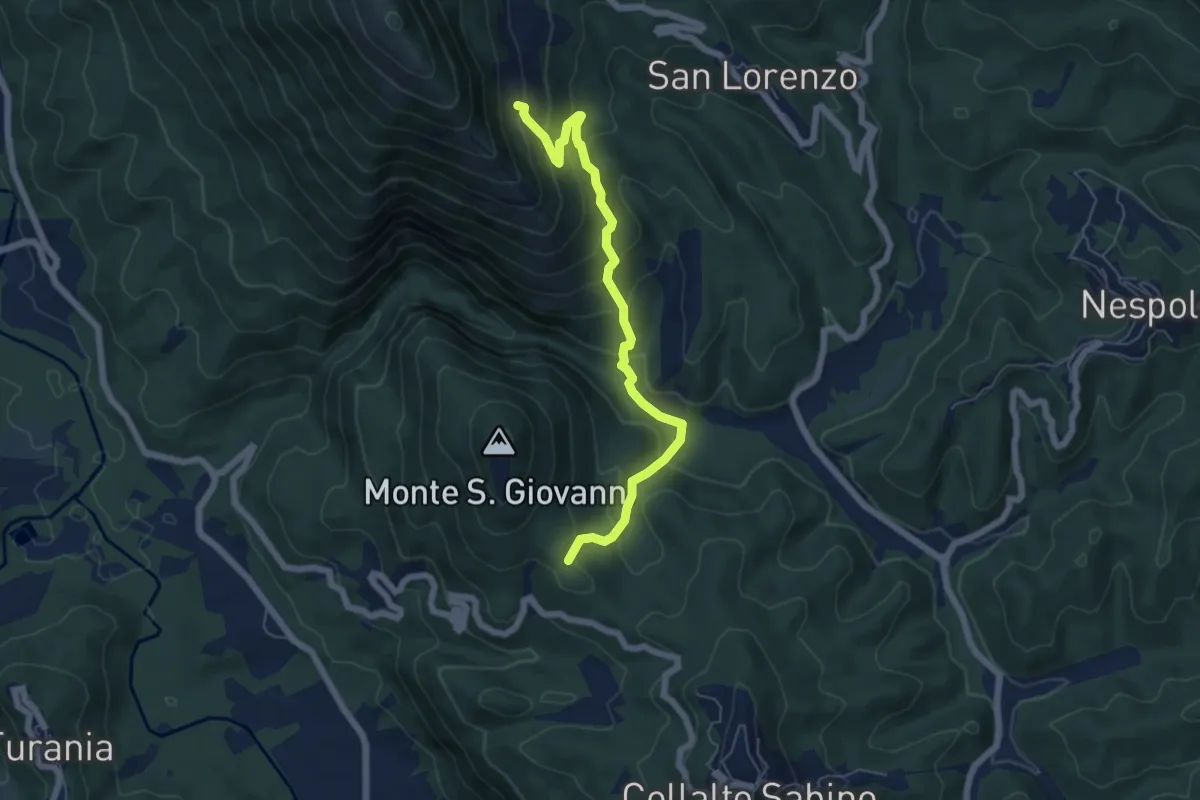
Medium · Trail
Bivio Vallicelle (percorso 346) – Innesto percorso 344
6.5 km · ↑ 471 m · 2 h 33 min · 6 km away
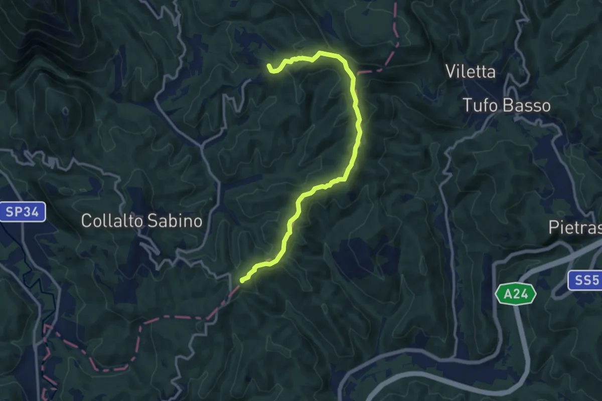
Medium · Summit
Colle Martino – Nespolo
11.3 km · ↑ 360 m · 3 h 26 min · 7 km away
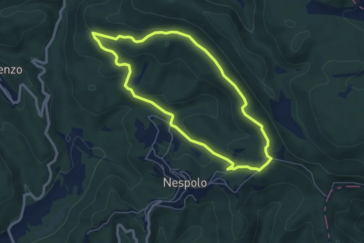
Easy · Trail
Il Rio - Pelliccia - Il Rio
5.0 km · ↑ 166 m · 1 h 36 min · 7 km away
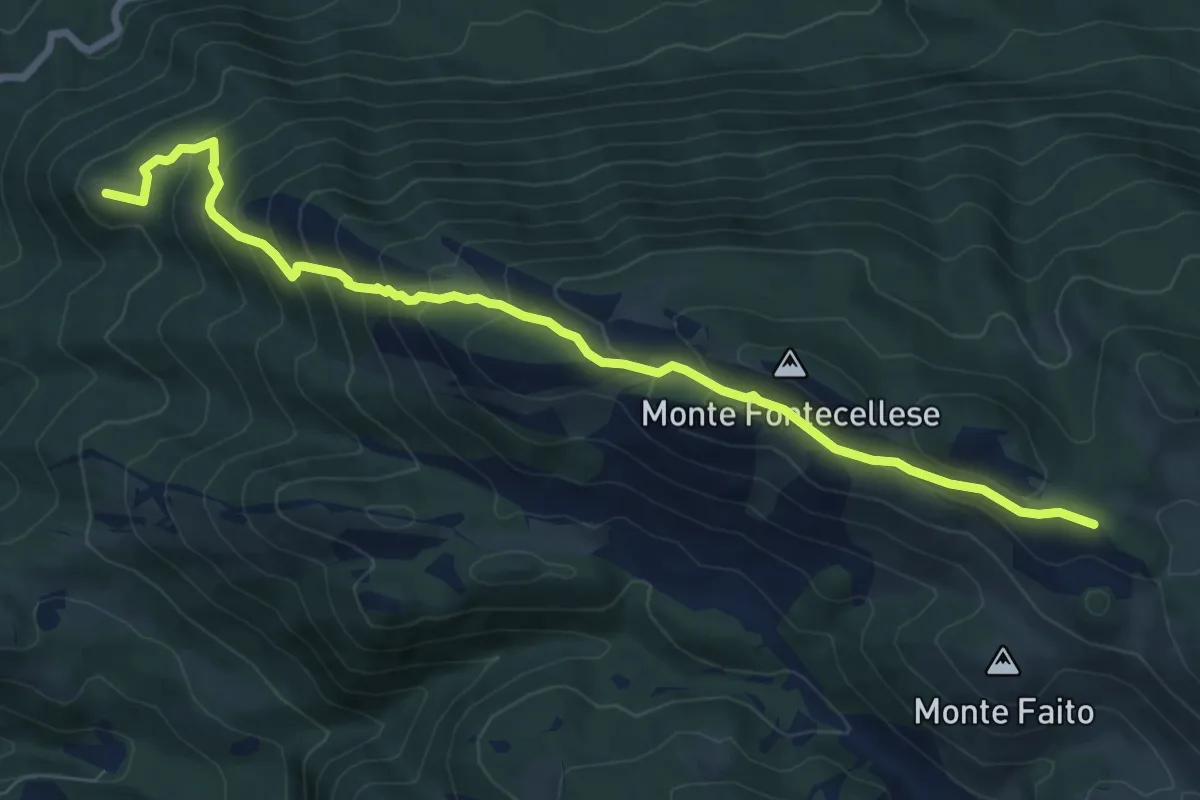
Medium · Summit
Dal SI di Villaromana – al sentiero 516 passando per Monte Fontecellese
9.2 km · ↑ 629 m · 3 h 32 min · 7 km away
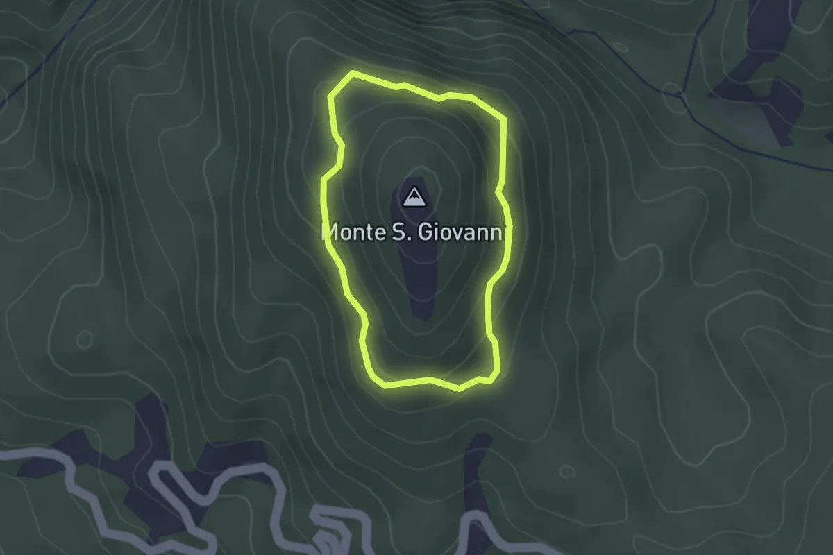
Easy · Trail
Anello Monte San Giovanni
2.0 km · ↑ 149 m · 49 min · 7 km away
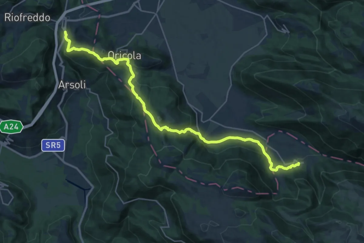
Demanding · Trail
CNP - 08 - Camerata Nuova - Cineto Romano
23.7 km · ↑ 881 m · 7 h 31 min · 7 km away
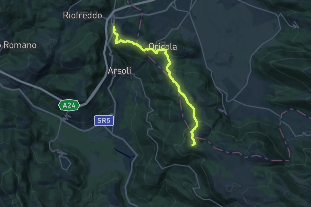
Medium · Summit
Via dei Lupi - Tappa 04
15.4 km · ↑ 678 m · 5 h 6 min · 7 km away
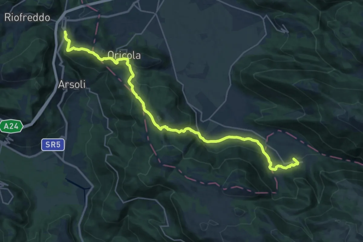
Demanding · Trail
Sentiero Coleman - Tappa 4
24.1 km · ↑ 897 m · 7 h 38 min · 7 km away
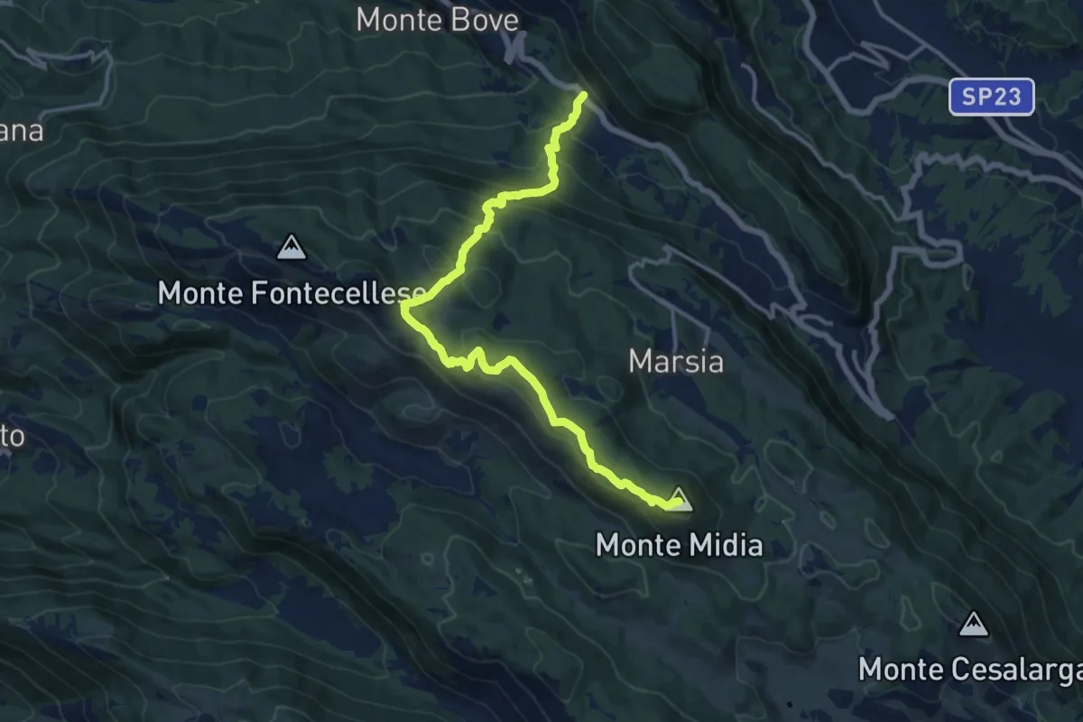
Demanding · Summit
SR5 Colli di Monte Bove – Monte Midia
15.5 km · ↑ 897 m · 5 h 36 min · 8 km away
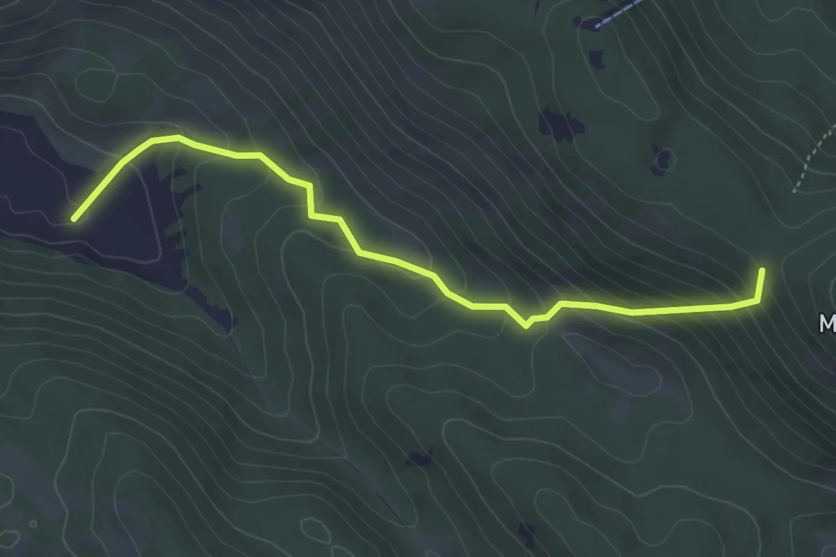
Medium · Trail
Sent. 502 – Sent. 516
4.8 km · ↑ 365 m · 1 h 55 min · 8 km away
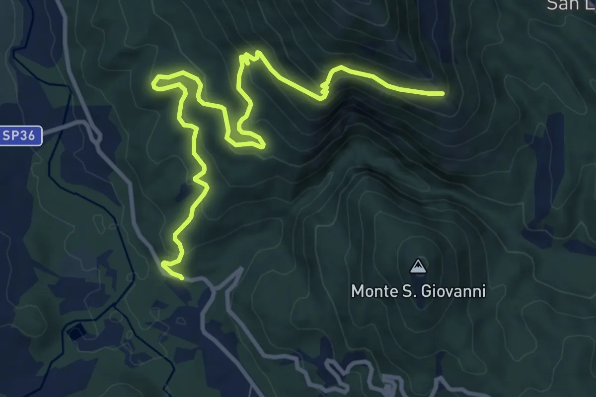
Medium · Trail
Santa Croce - Malpasso
10.8 km · ↑ 604 m · 3 h 51 min · 8 km away
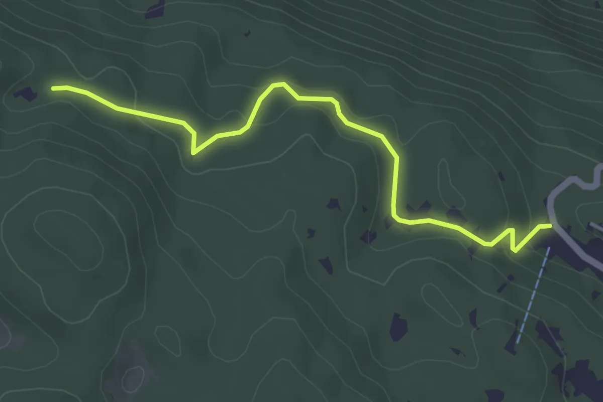
Easy · Trail
Marsia – Cippo Giovanni Nazzaro
4.3 km · ↑ 143 m · 1 h 19 min · 8 km away
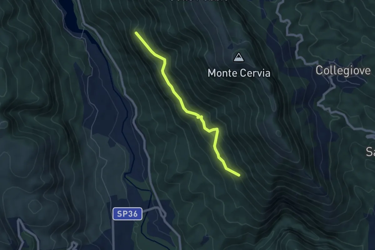
Medium · Trail
La Rotta – Iaccetto
5.5 km · ↑ 380 m · 2 h 7 min · 9 km away
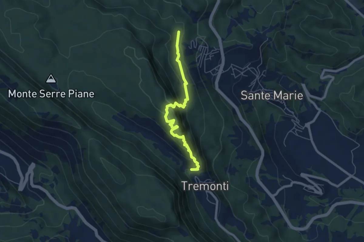
Medium · Trail
Tremonti – Sante Marie
5.6 km · ↑ 374 m · 2 h 8 min · 9 km away
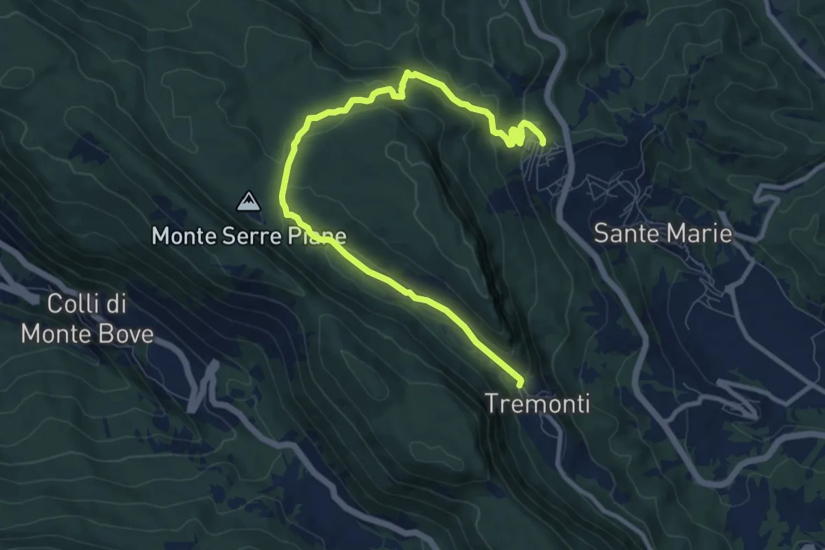
Medium · Trail
Tremonti/Sante Marie – Sante Marie/Tremonti
10.3 km · ↑ 352 m · 3 h 12 min · 9 km away
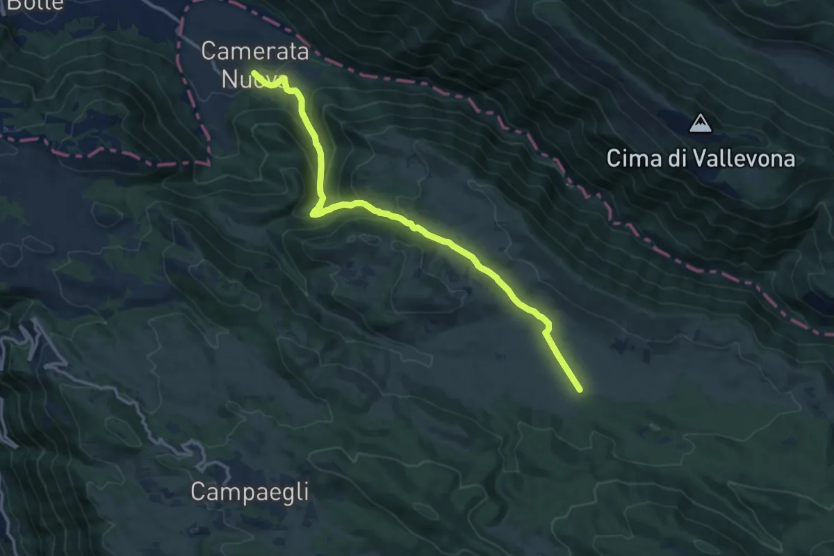
Medium · Trail
Camerata Nuova – Monte Autore
13.6 km · ↑ 604 m · 4 h 31 min · 9 km away
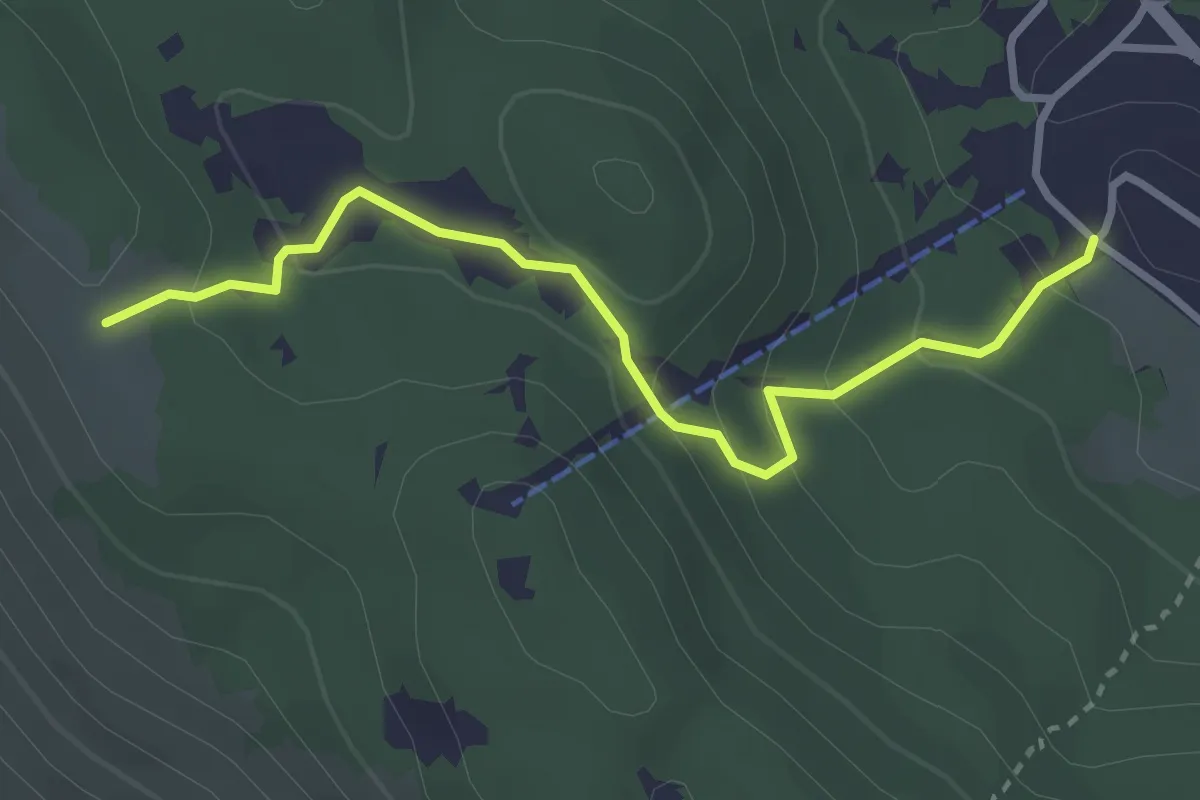
Easy · Trail
Marsia sbarra seggiovia – Cresta La Piccionara
3.4 km · ↑ 184 m · 1 h 12 min · 9 km away
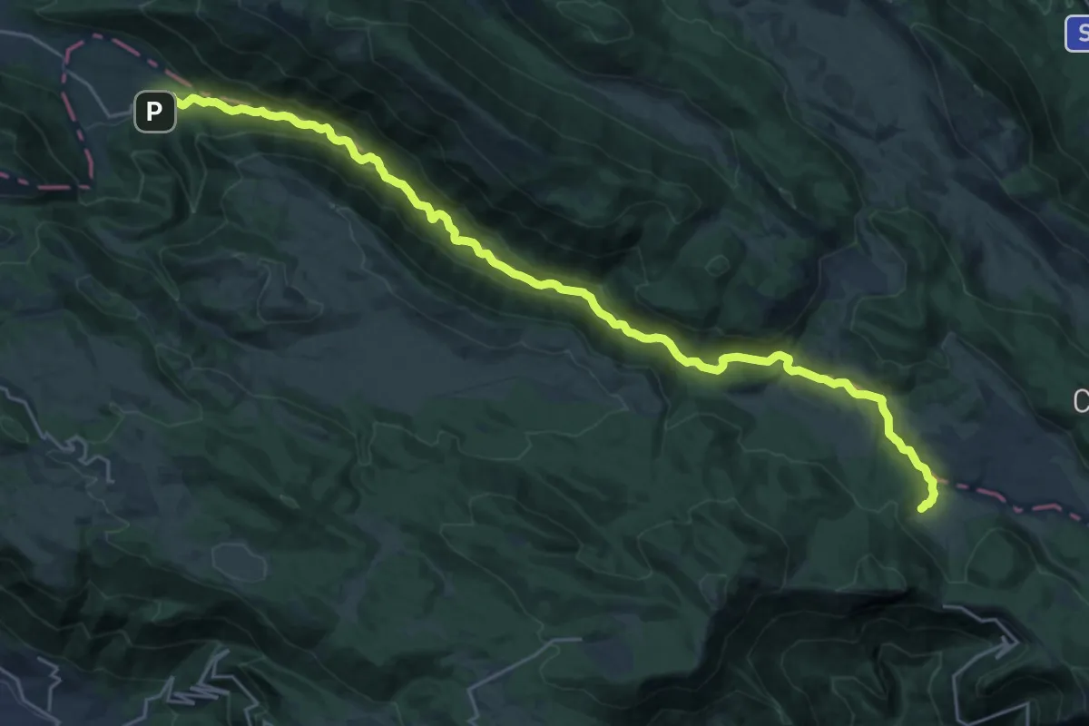
Medium · Cabin
Camerata Nuova-Rifugio S.A.I.F.A.R. (Campo della Pietra)
14.4 km · ↑ 655 m · 4 h 46 min · 9 km away
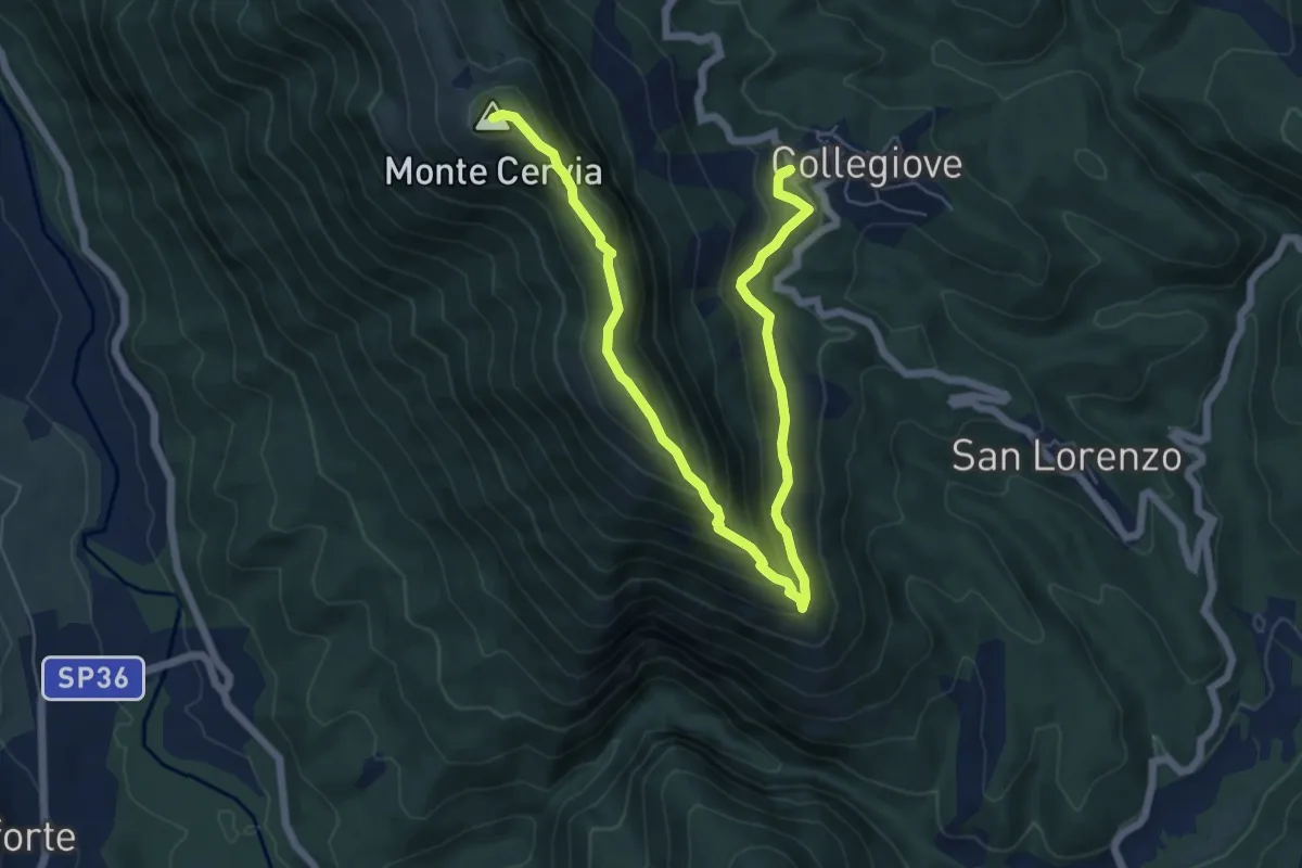
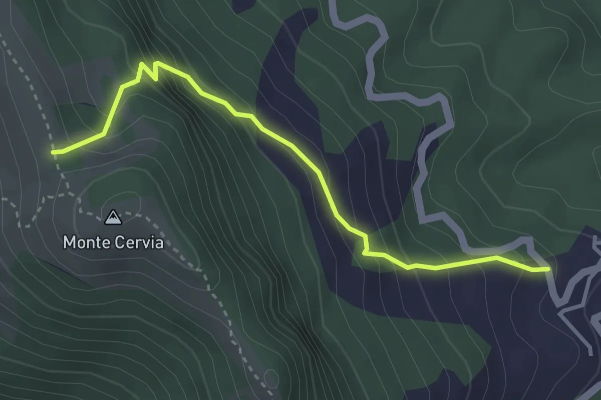
Medium · Summit
Collegiove – M.te Cervia
8.8 km · ↑ 562 m · 3 h 18 min · 9 km away
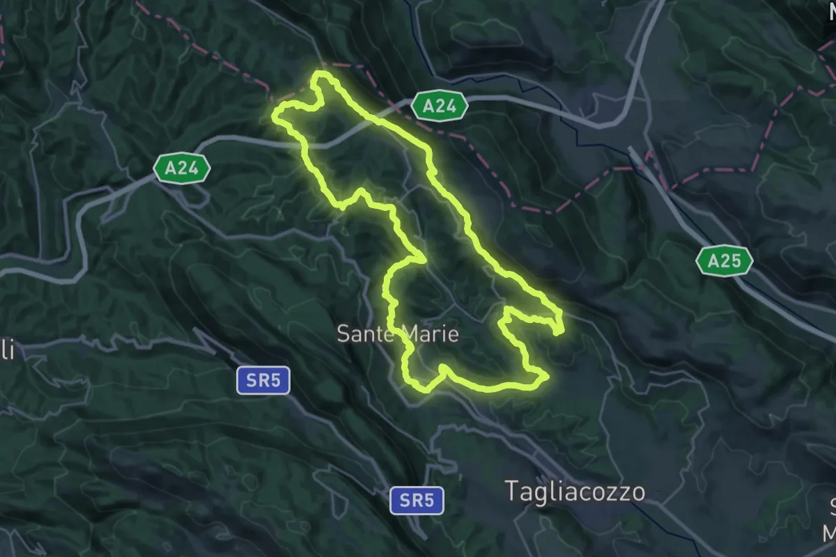
Medium · Trail
Collegiove – Incrocio s. 342 x M.Cervia
3.4 km · ↑ 344 m · 1 h 33 min · 9 km away
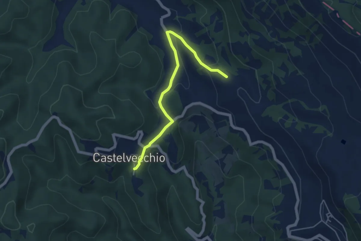
Demanding · Summit
Sentiero Corradino
29.8 km · ↑ 989 m · 9 h 35 min · 10 km away
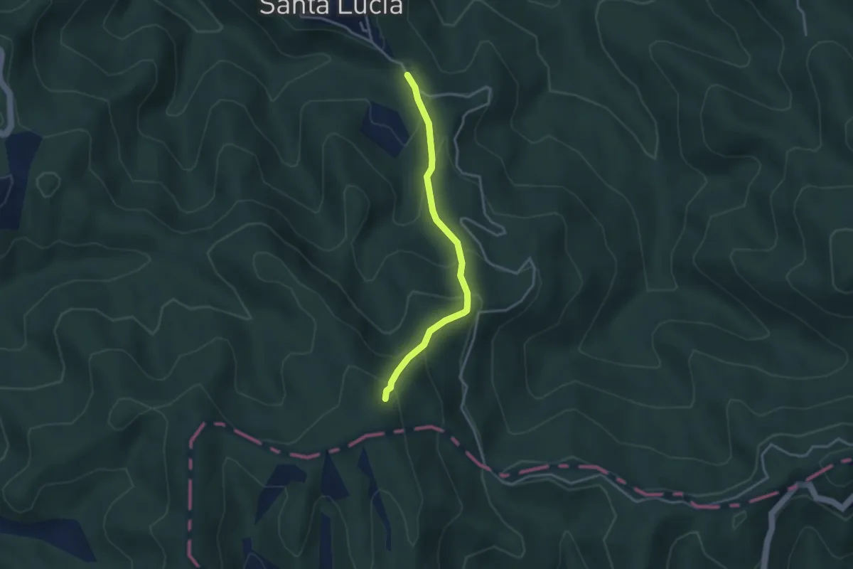
Easy · Trail
Sentiero Corradino - Variante
2.2 km · ↑ 86 m · 44 min · 10 km away
Easy · Trail
Santa Lucia Giove Rotondo - Colle Staglino
3.2 km · ↑ 282 m · 1 h 22 min · 10 km away
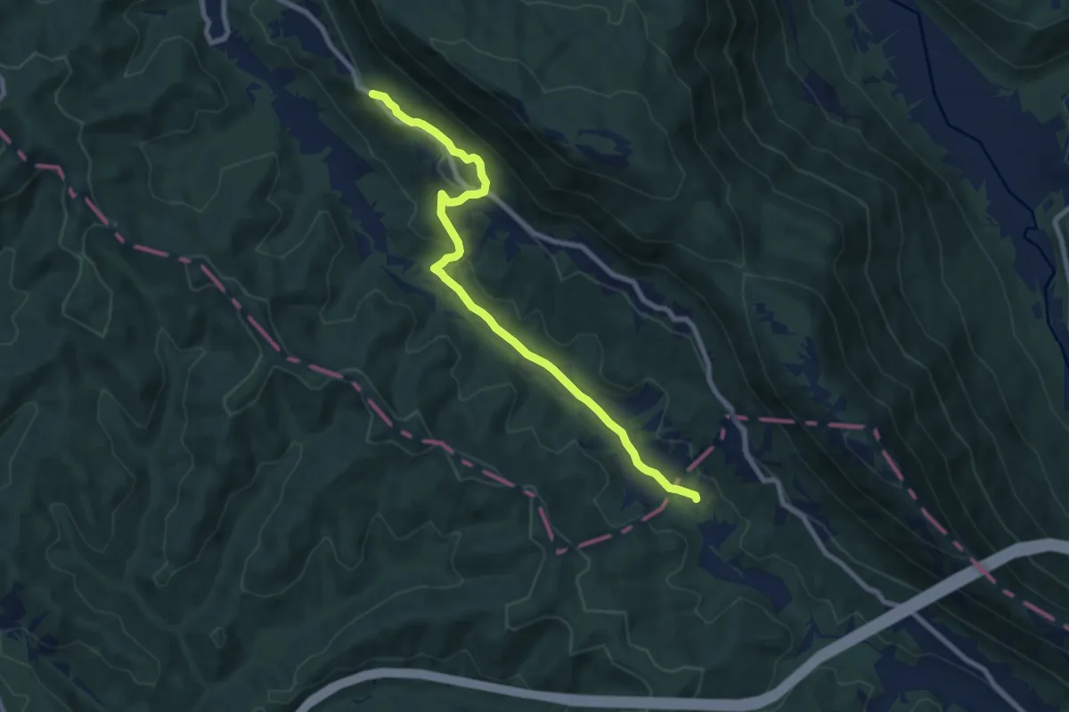
Medium · Trail
La Portella – Valdevarri
8.9 km · ↑ 232 m · 2 h 36 min · 11 km away
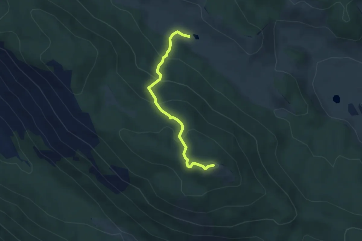
Easy · Summit
Monte Cacume
3.8 km · ↑ 238 m · 1 h 24 min · 11 km away
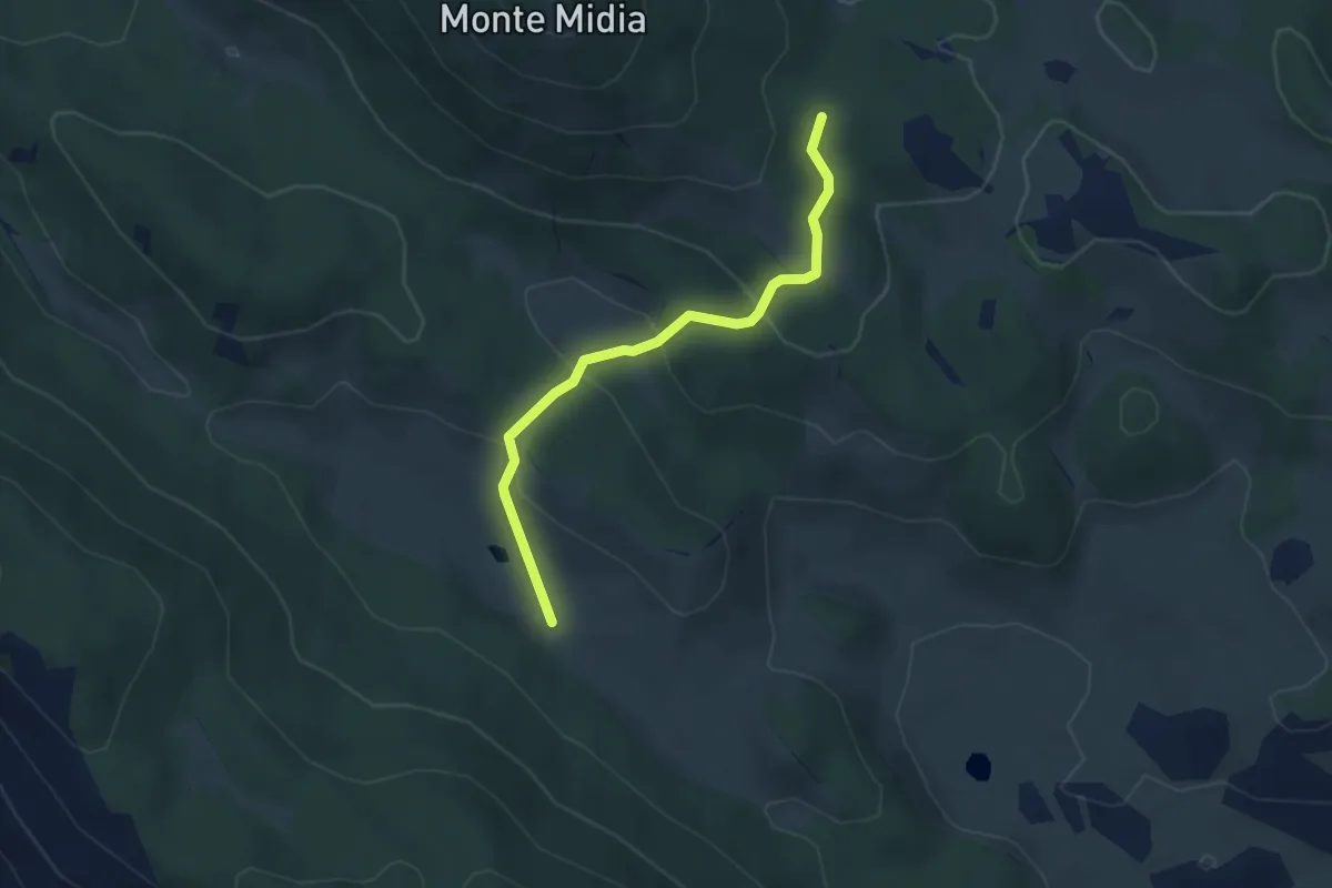
Easy · Cabin
Bivio sent. 514/517 - Marsia – Rifugio Acquaramata sent. 502
3.8 km · ↑ 140 m · 1 h 12 min · 11 km away
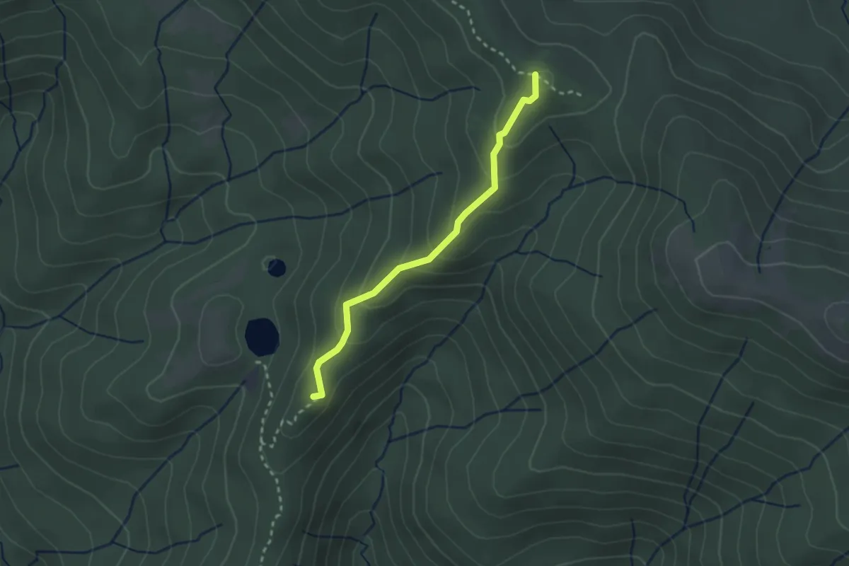
Easy · Summit
Laghetti di Percile – C. Fiaturno
2.5 km · ↑ 157 m · 56 min · 11 km away
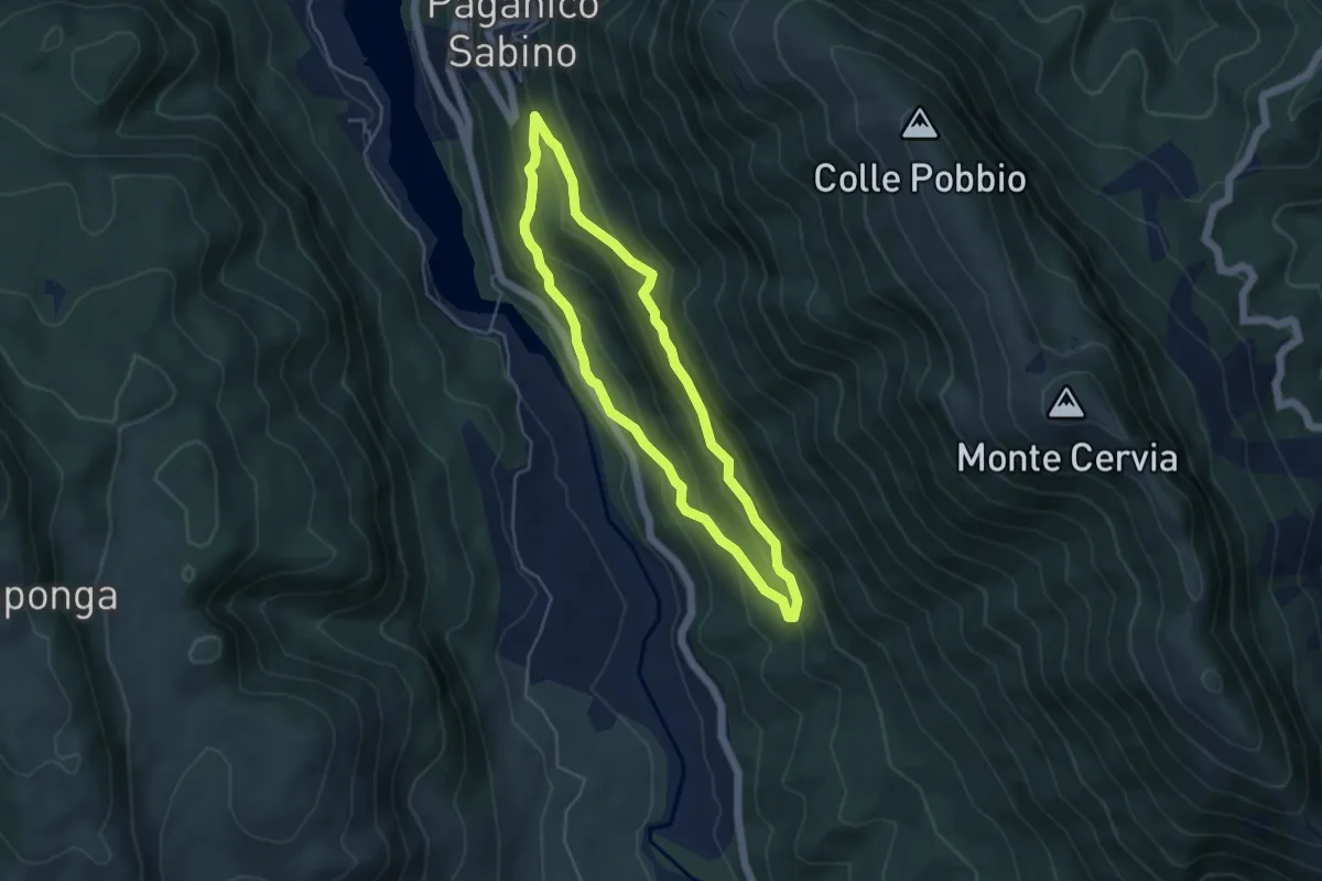
Easy · Trail
Paganico – F.te Palumbo – Le Grotte
4.5 km · ↑ 279 m · 1 h 44 min · 11 km away
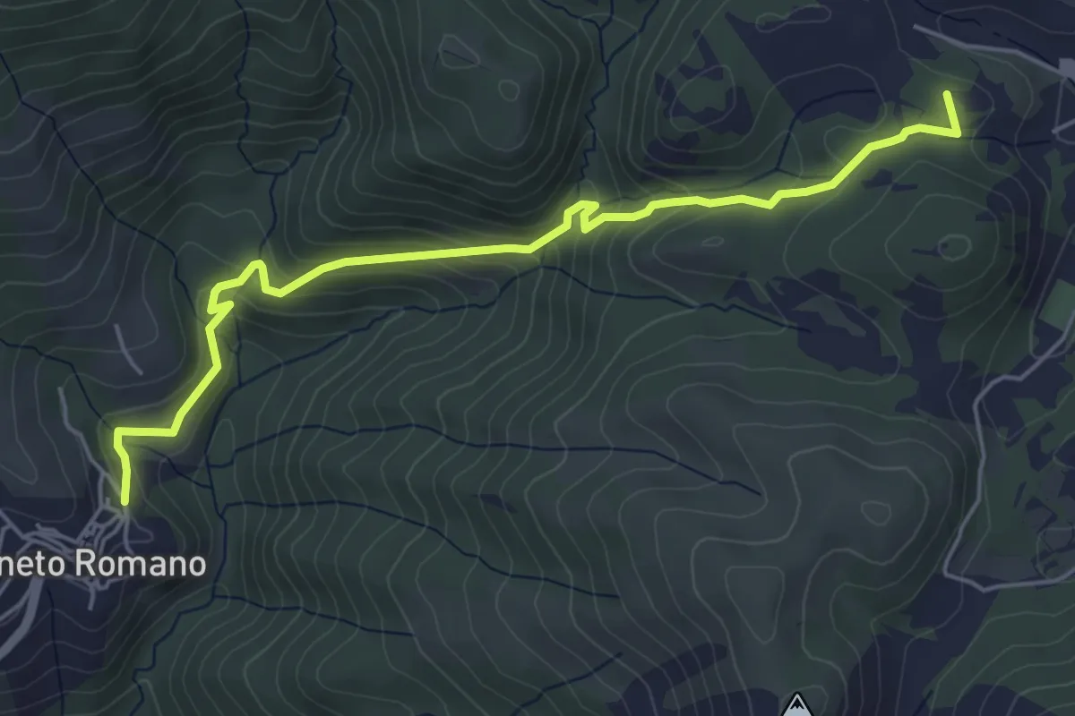
Medium · Summit
Cineto R-Riofreddo
6.0 km · ↑ 331 m · 2 h 8 min · 11 km away
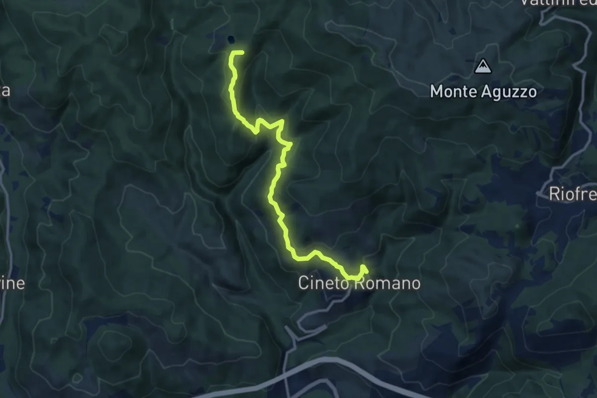
Medium · Summit
Sentiero Coleman - Tappa 5
10.9 km · ↑ 537 m · 3 h 45 min · 11 km away
Medium · Summit
Laghetti di Percile-Cineto Romano
10.9 km · ↑ 537 m · 3 h 45 min · 11 km away
Demanding · Summit
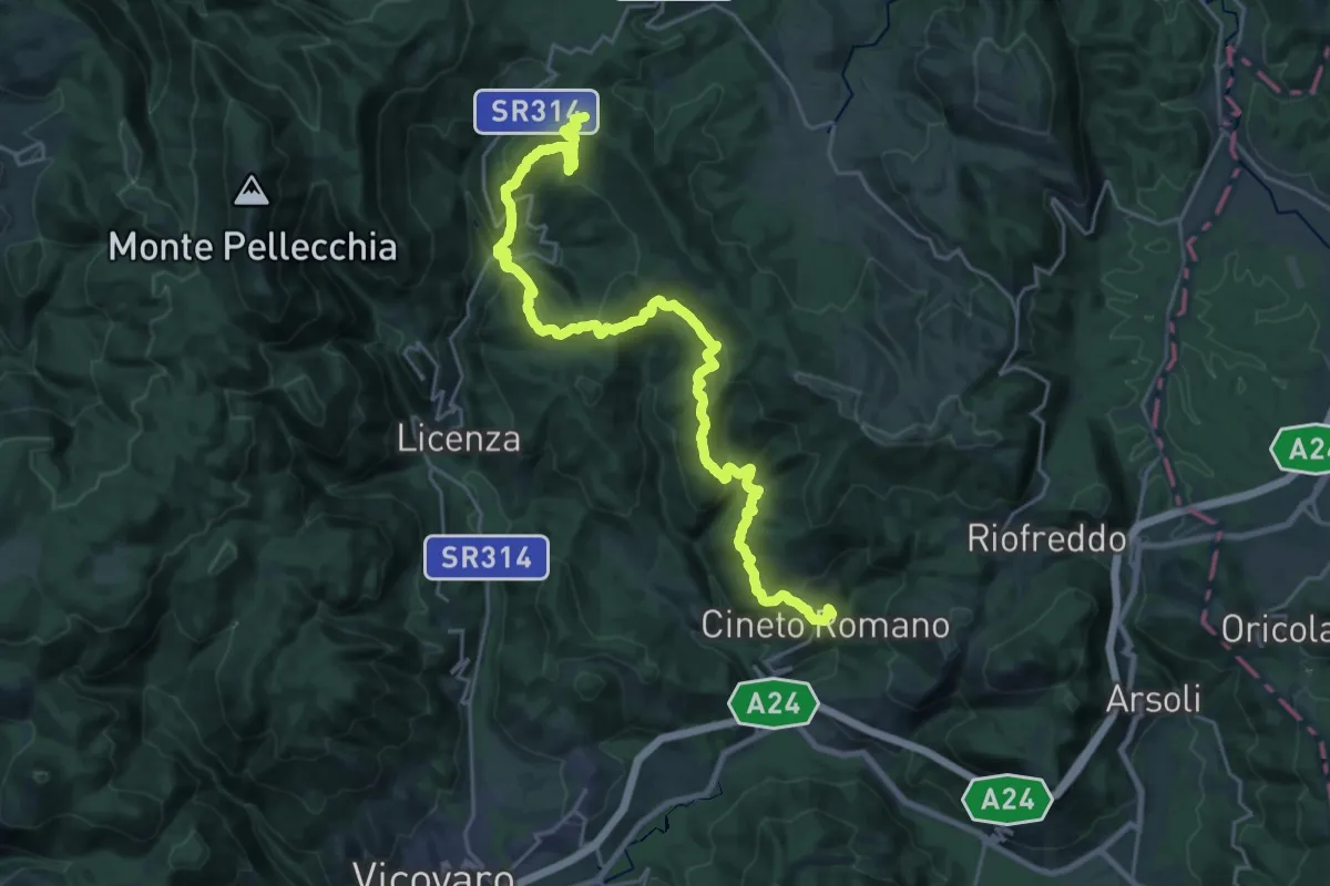
CNP - 09 - Cineto Romano - Orvinio
30.1 km · ↑ 1401 m · 10 h 9 min · 11 km away
Medium · Trail
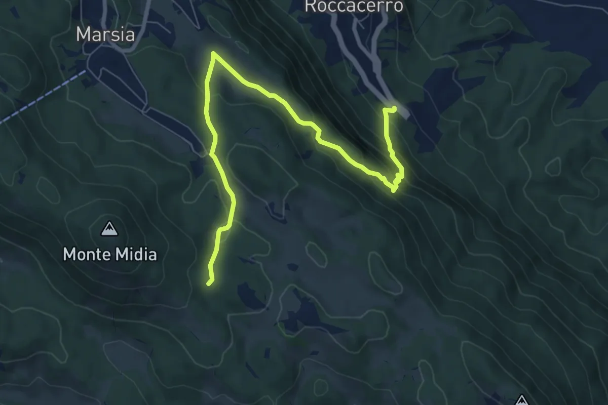
SR5 Roccacerro – Innesto sent. 517 (Marsia)
8.7 km · ↑ 503 m · 3 h 8 min · 11 km away
Medium · Trail
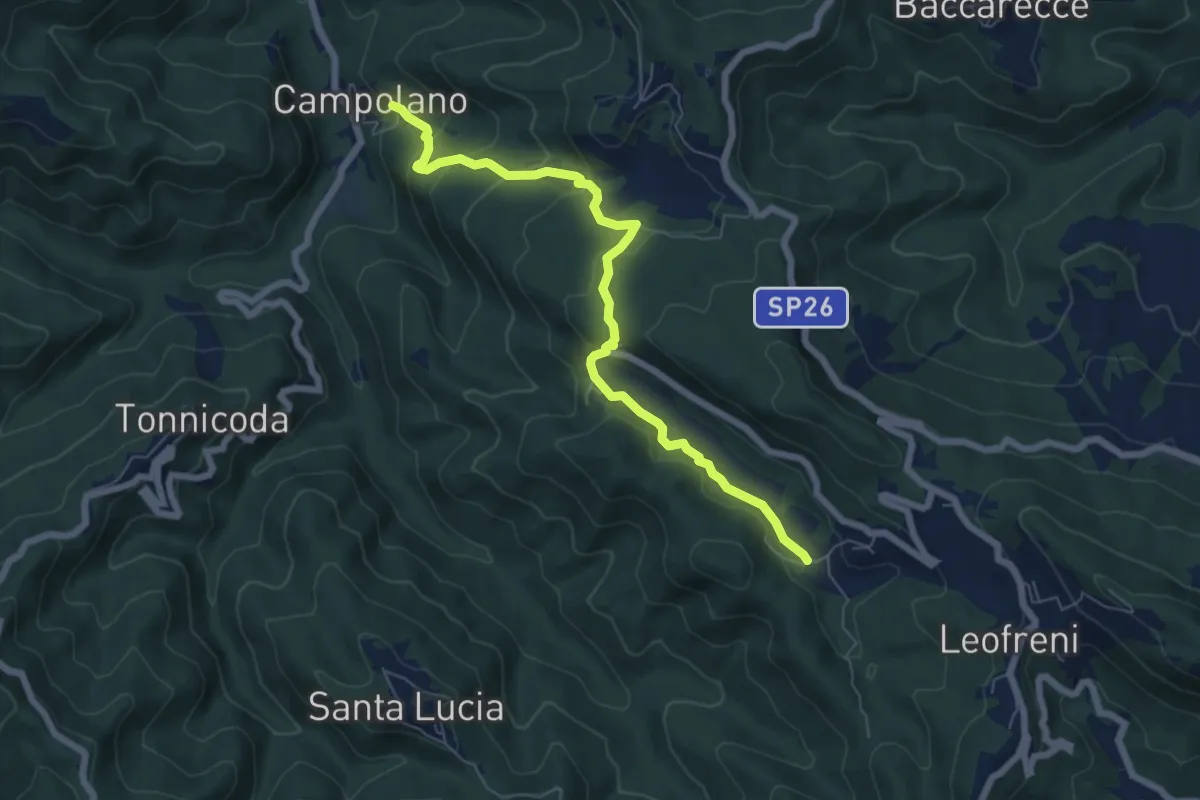
Castelluccio - Campolano
7.3 km · ↑ 357 m · 2 h 29 min · 11 km away
Demanding · Summit
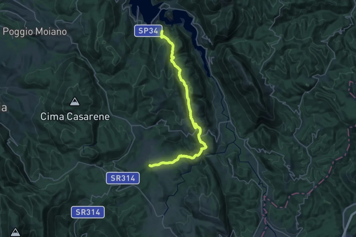
Castel Di Tora – S.Maria del Piano
23.9 km · ↑ 989 m · 7 h 46 min · 11 km away