Trails near Caselle Torinese
66 hikes starting within 15 km, nearest first.
Nearest first, page 2 of 2
Medium · Trail
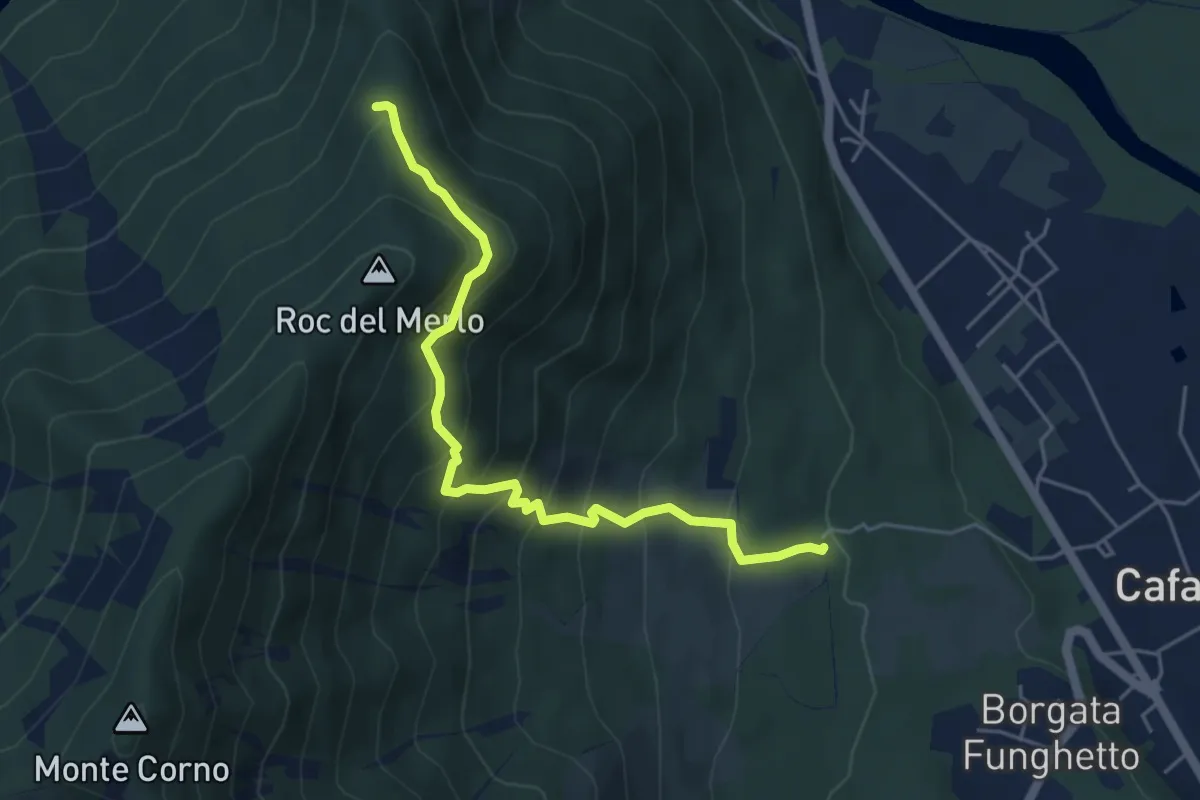
Case Meccio – Bivio 095-101A, Grange Foieri
5.1 km · ↑ 509 m · 2 h 19 min · 14 km away
Easy · Summit
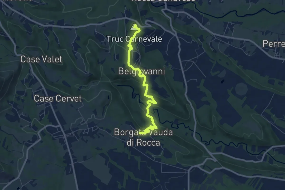
Rocca – Bivio 465-466, case Belgiovanni
6.9 km · ↑ 279 m · 2 h 14 min · 14 km away
Medium · Trail
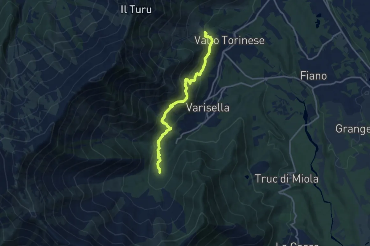
Bivio 043-045, Area Camper – Bivio 045-090, Cappella di San Rocco
9.8 km · ↑ 495 m · 3 h 22 min · 14 km away
Medium · Summit
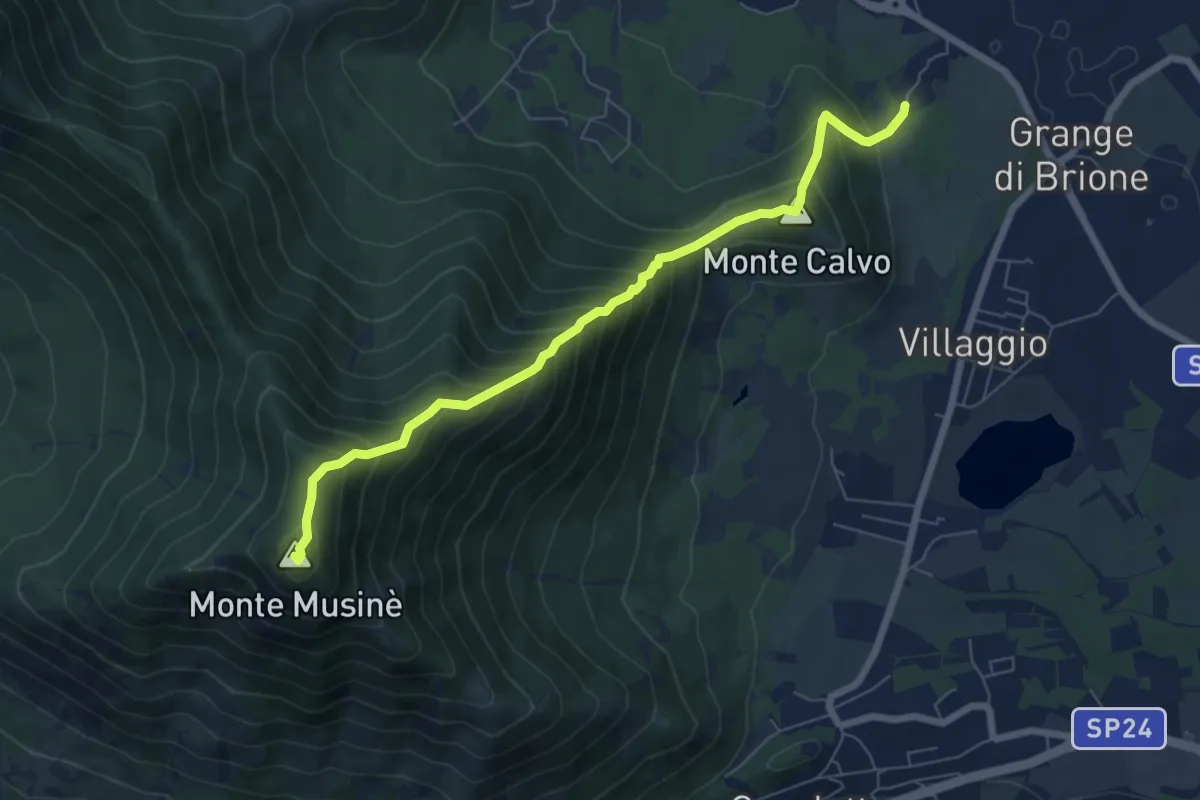
Brione – Bivio 572-572B-574, Monte Musiné
7.1 km · ↑ 795 m · 3 h 24 min · 14 km away
Medium · Trail
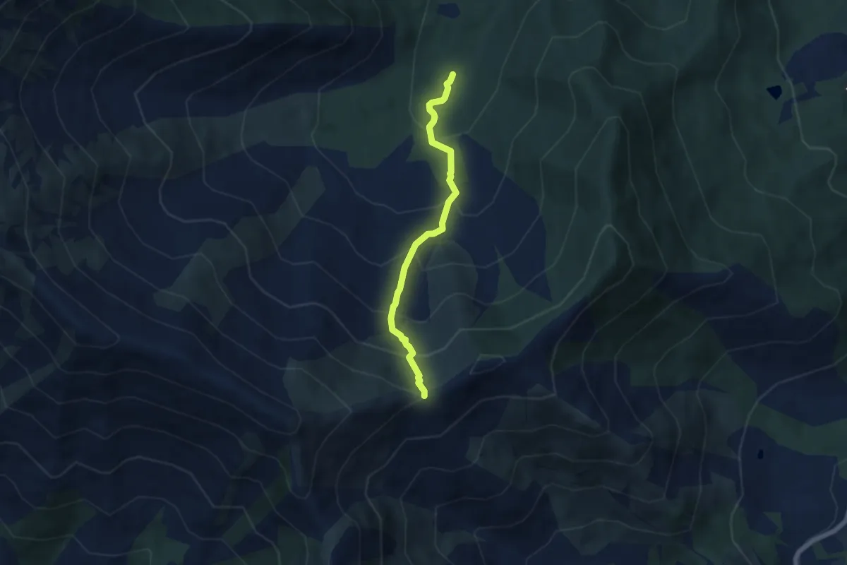
040-043-045, Area Camper – Bivio 010-043, Madonna della Neve
5.1 km · ↑ 532 m · 2 h 21 min · 14 km away
Easy · Trail
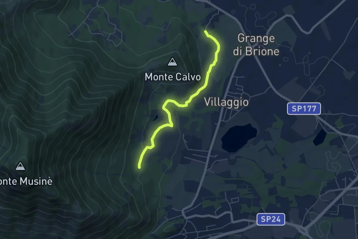
Brione, bivio TOS574A-TOS576 – Bivio TOS576-TOS572A
5.4 km · ↑ 131 m · 1 h 33 min · 14 km away
Easy · Trail
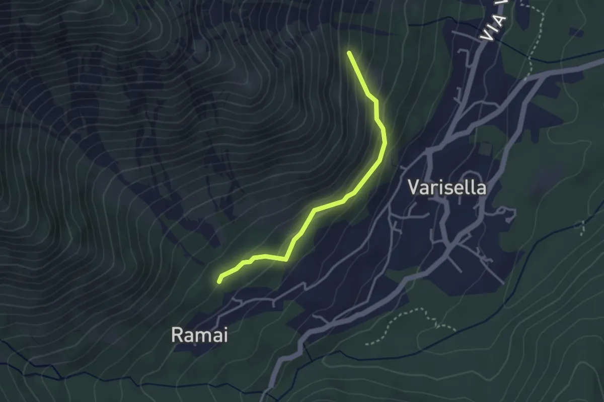
Bivio 045-045A, Ramai – Bivio 045-045A, Varisella
2.9 km · ↑ 181 m · 1 h 5 min · 14 km away
Easy · Trail
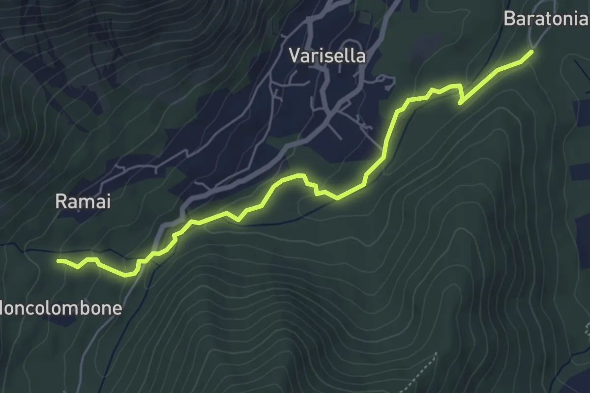
Bivio 040-041, San Grato – Bivio 040-043-045, Area Camper
5.6 km · ↑ 156 m · 1 h 40 min · 14 km away
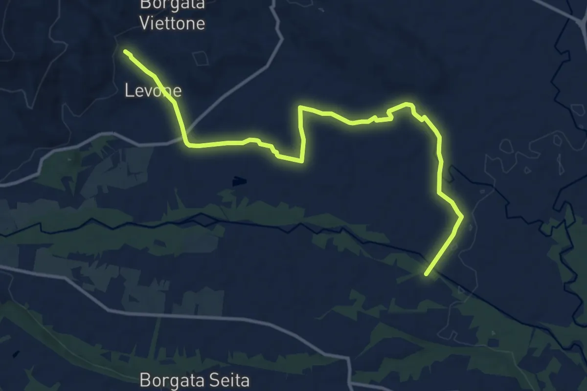
Medium · Trail
Bivio 460-463, Levone – Bivio TON463-TOP141, Regione Ingleisa
12.0 km · ↑ 76 m · 3 h · 14 km away
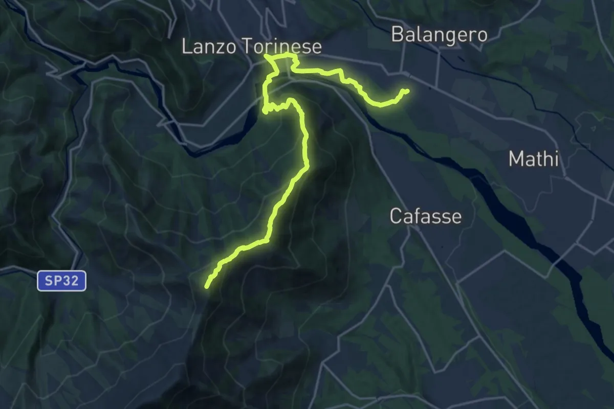
Demanding · Summit
Anello Ceronda - Tappa 1
20.0 km · ↑ 1111 m · 7 h 7 min · 14 km away
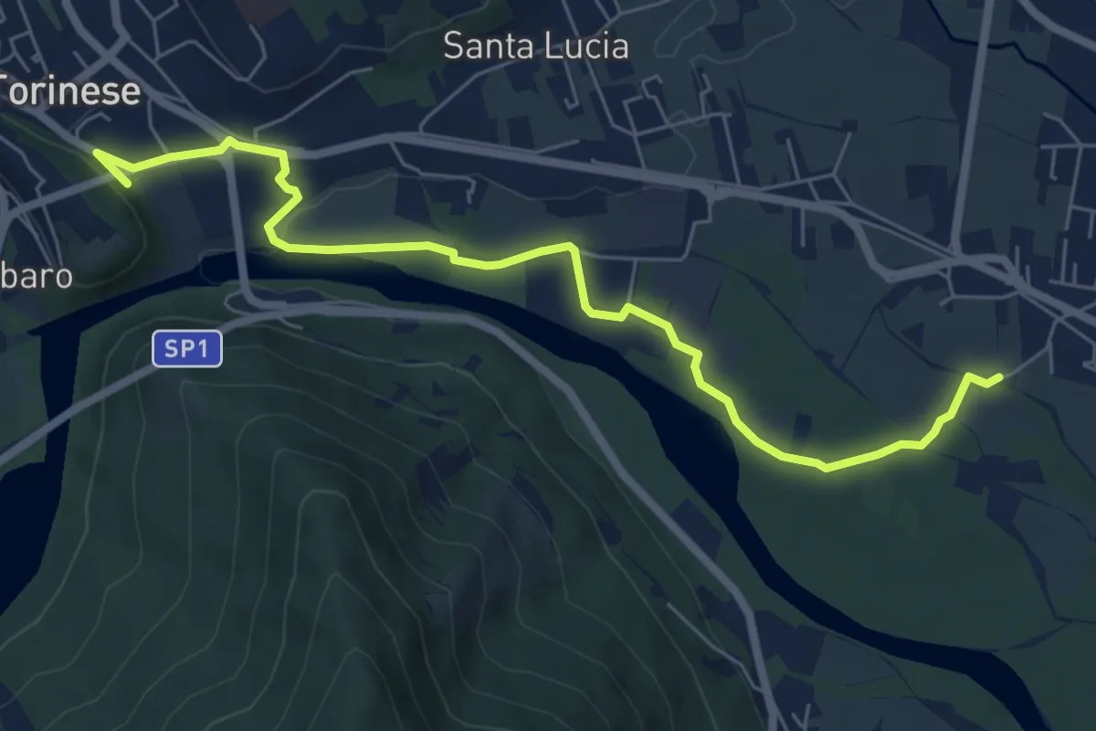
Easy · Trail
Sant'Anna, Balangero – Bivio 101-402, Parco ponte del Diavolo
7.2 km · ↑ 66 m · 1 h 50 min · 14 km away
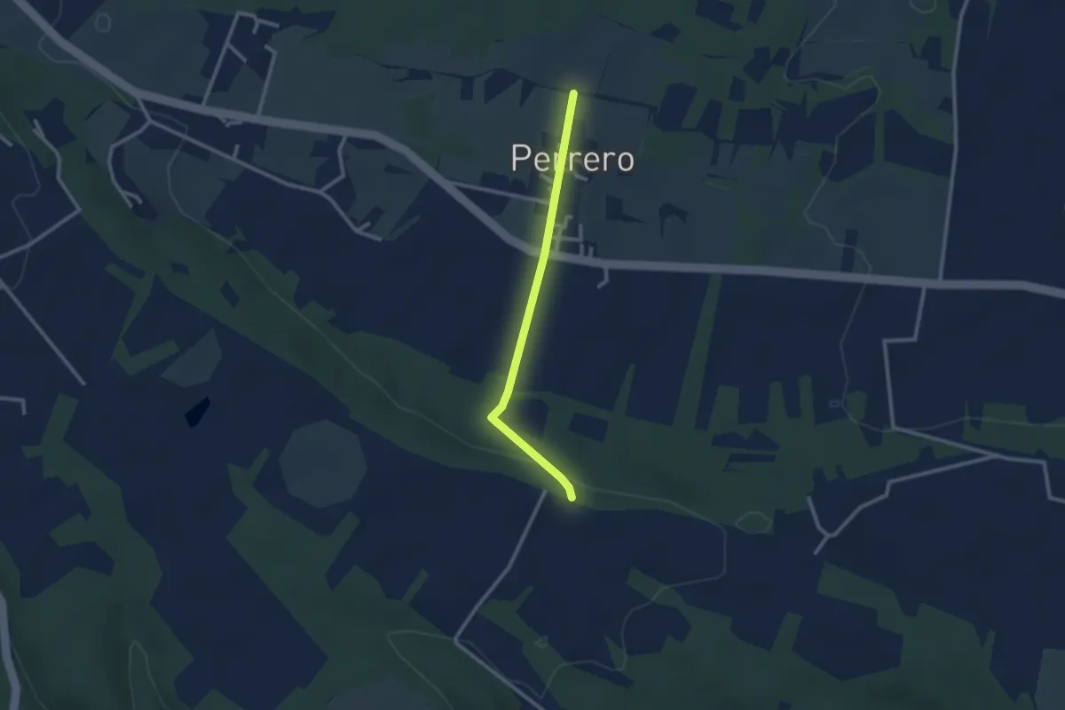
Easy · Trail
Bivio TOP141-141A, Perrero – Bivio TOP140-TOP141A, Cascina Guasto
2.4 km · ↑ 43 m · 40 min · 14 km away
Demanding · Trail
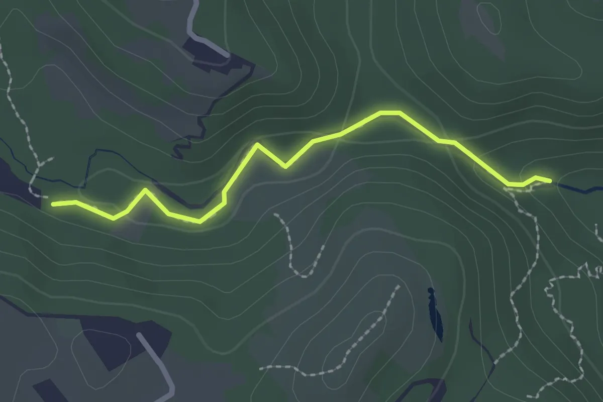
Sentiero Canyon Fandaglia
2.1 km · ↑ 54 m · 37 min · 14 km away
Medium · Summit
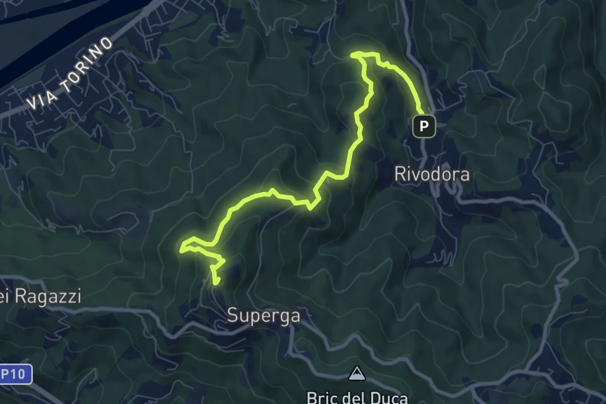
Grande Traversata della Collina Tratto 5
8.7 km · ↑ 532 m · 3 h 13 min · 15 km away
Easy · Summit
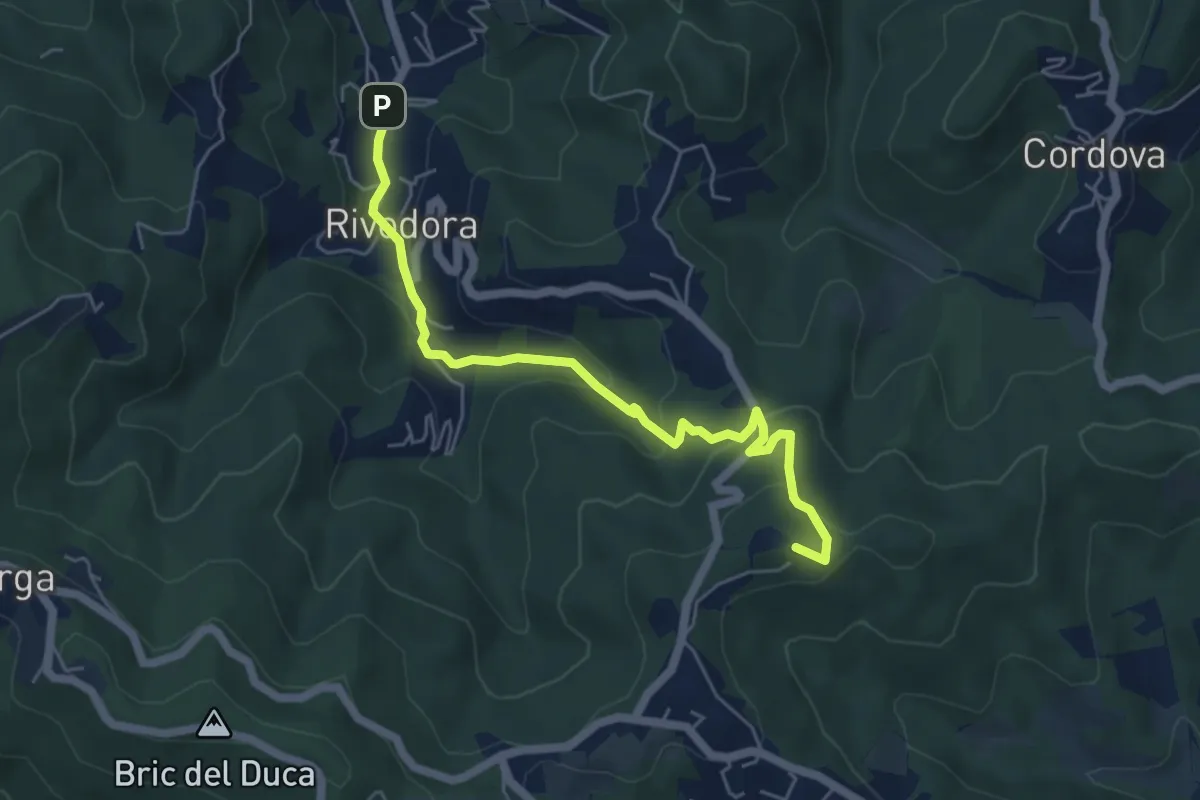
Rivodora, bivio TOC002-TOC054 – Bricco Pietraforata, bivio TOC054-TOC100
5.7 km · ↑ 262 m · 1 h 54 min · 15 km away
Demanding · Summit
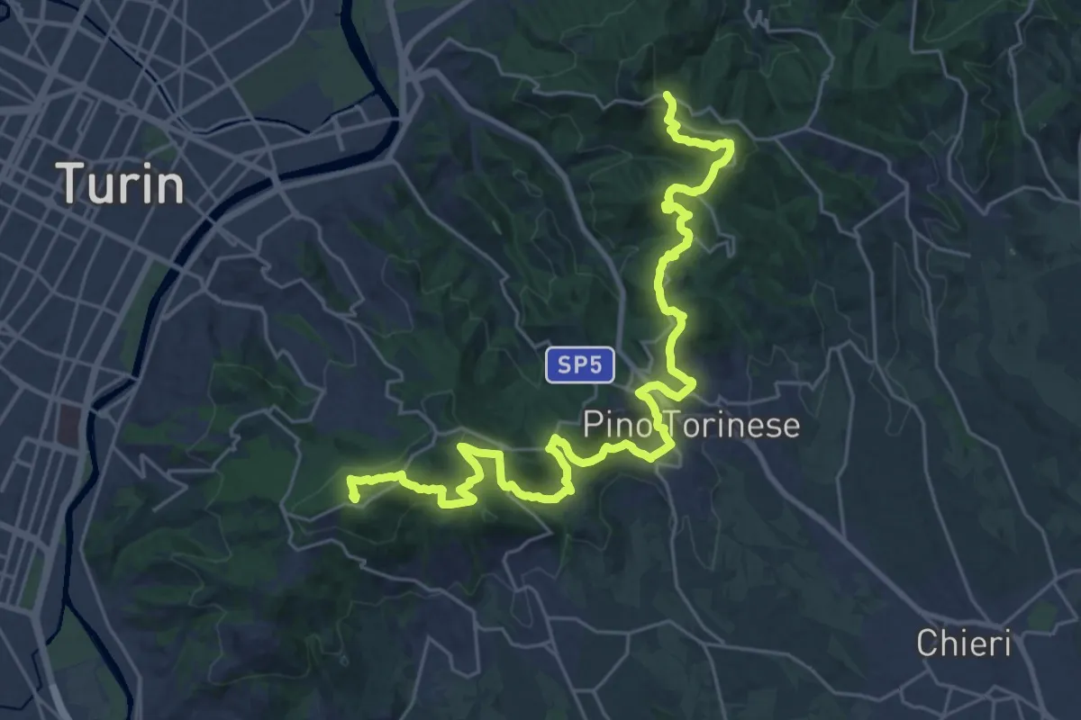
SVC Variante Moncalieri
32.2 km · ↑ 1227 m · 10 h 16 min · 15 km away
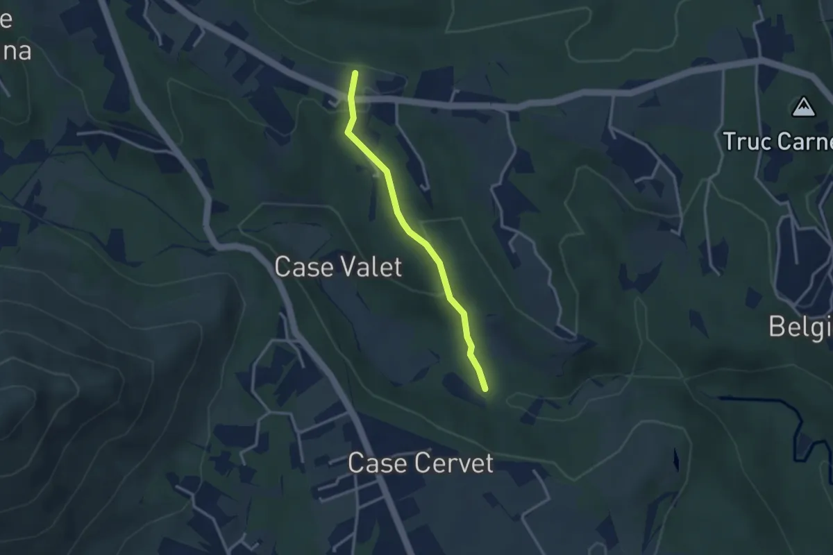
Easy · Trail
Bivio 412-412B – Bivio 412B-418
2.6 km · ↑ 97 m · 49 min · 15 km away
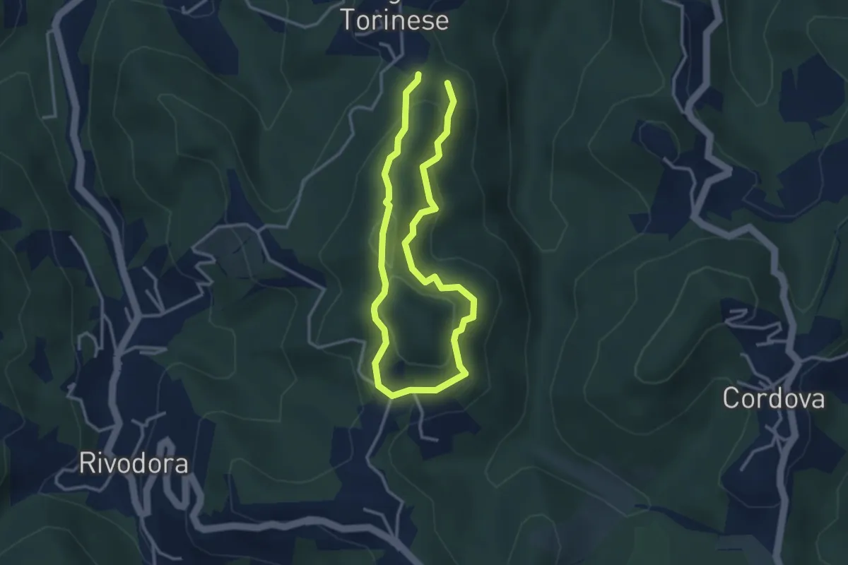
Easy · Trail
Bivio TOC002-TOC073, presso San Martino, Castiglione Torinese – Bivio TOC002-TOC073, presso San Martino, Castiglione Torinese
2.6 km · ↑ 127 m · 56 min · 15 km away