Trails near Caserta
27 hikes starting within 15 km, nearest first.
Nearest first
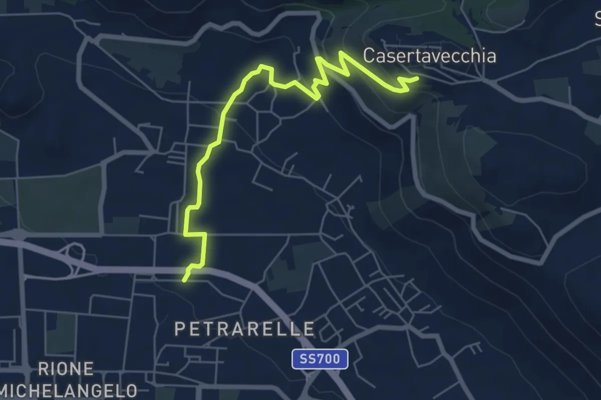
Easy · Trail
Caserta – Casertavecchia
6.3 km · ↑ 274 m · 2 h 4 min · 2 km away
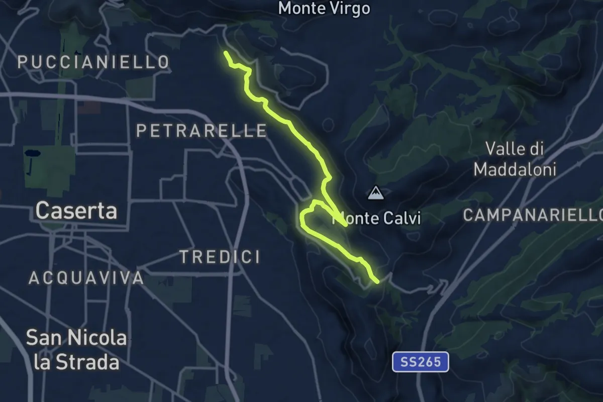
Easy · Trail
San Michele – San Pietro ad Montes
6.6 km · ↑ 271 m · 2 h 11 min · 3 km away
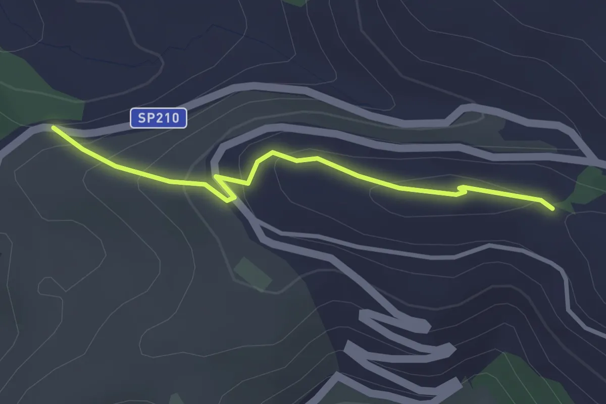
Easy · Trail
ex SP Casino Fusco - Incrocio 603 – VIa Papa - Incrocio 603
2.9 km · ↑ 144 m · 1 h · 4 km away
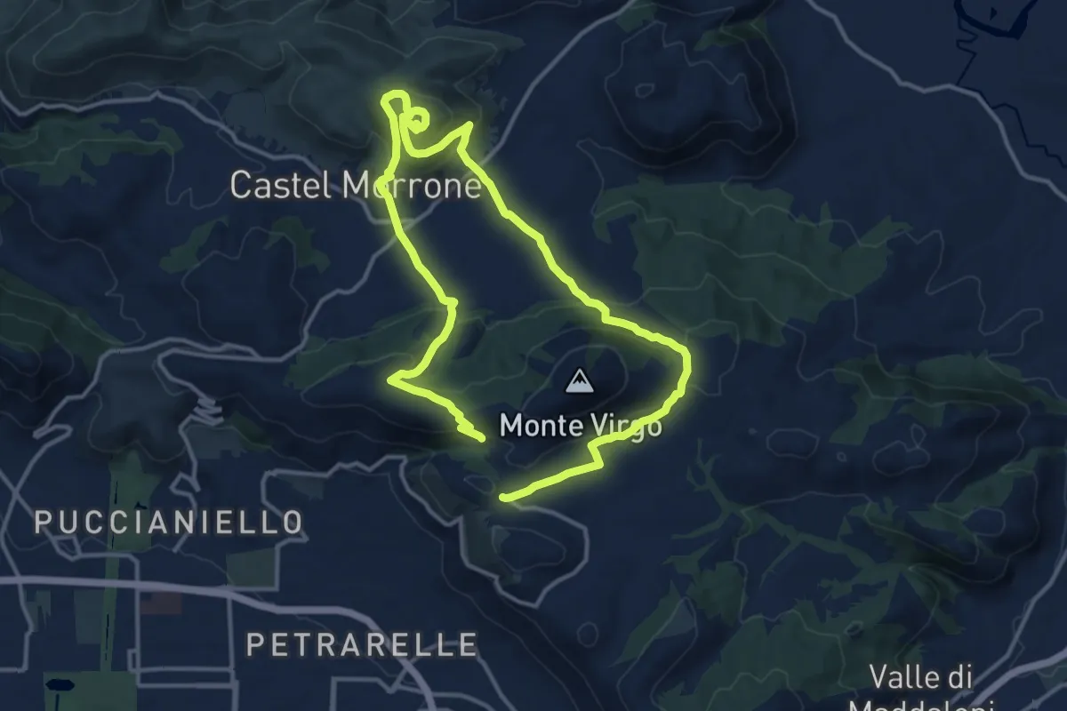
Medium · Trail
Battaglia del Volturno
11.9 km · ↑ 492 m · 4 h 3 min · 4 km away
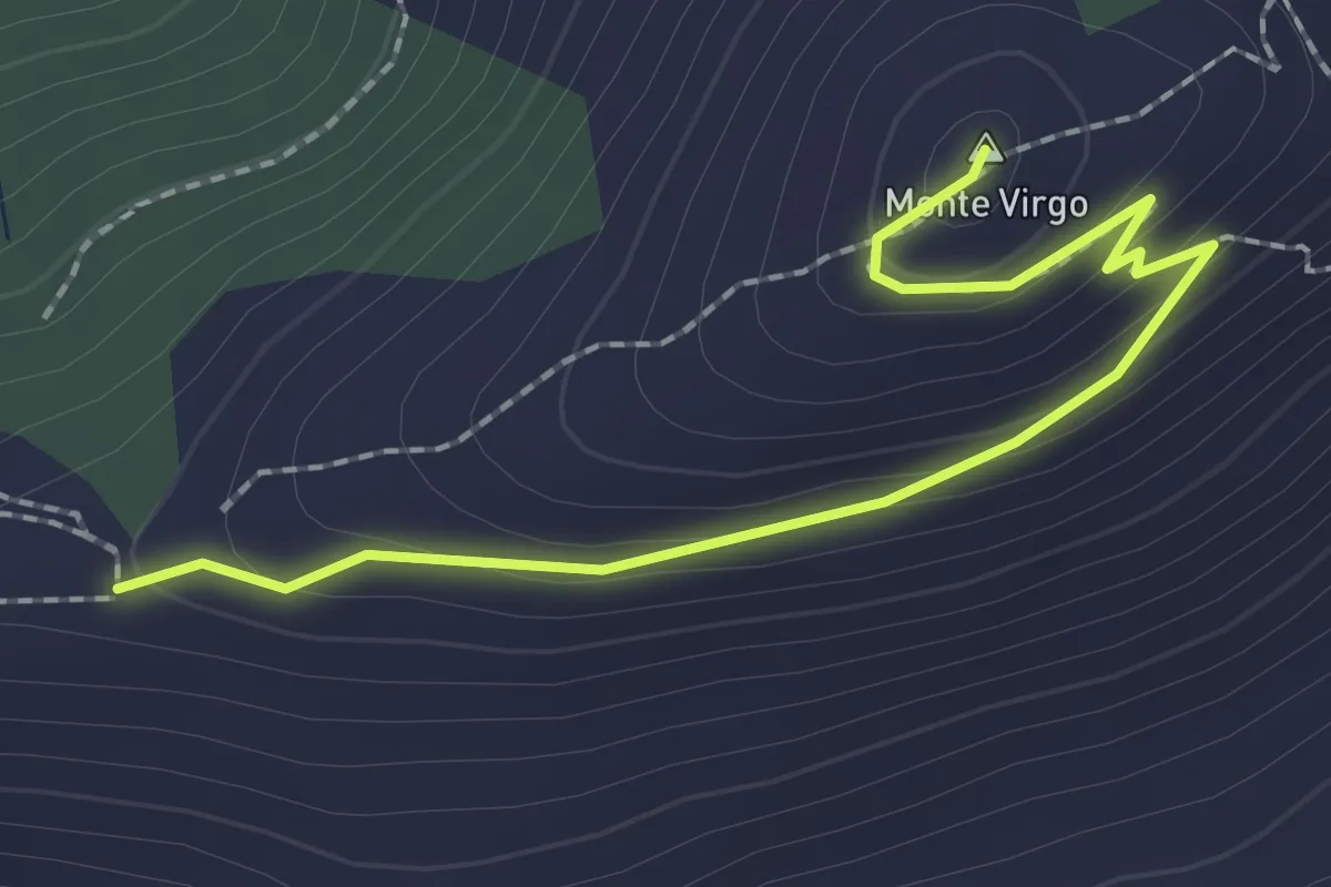
Easy · Summit
Caserta – Casertavecchia
2.5 km · ↑ 102 m · 49 min · 5 km away
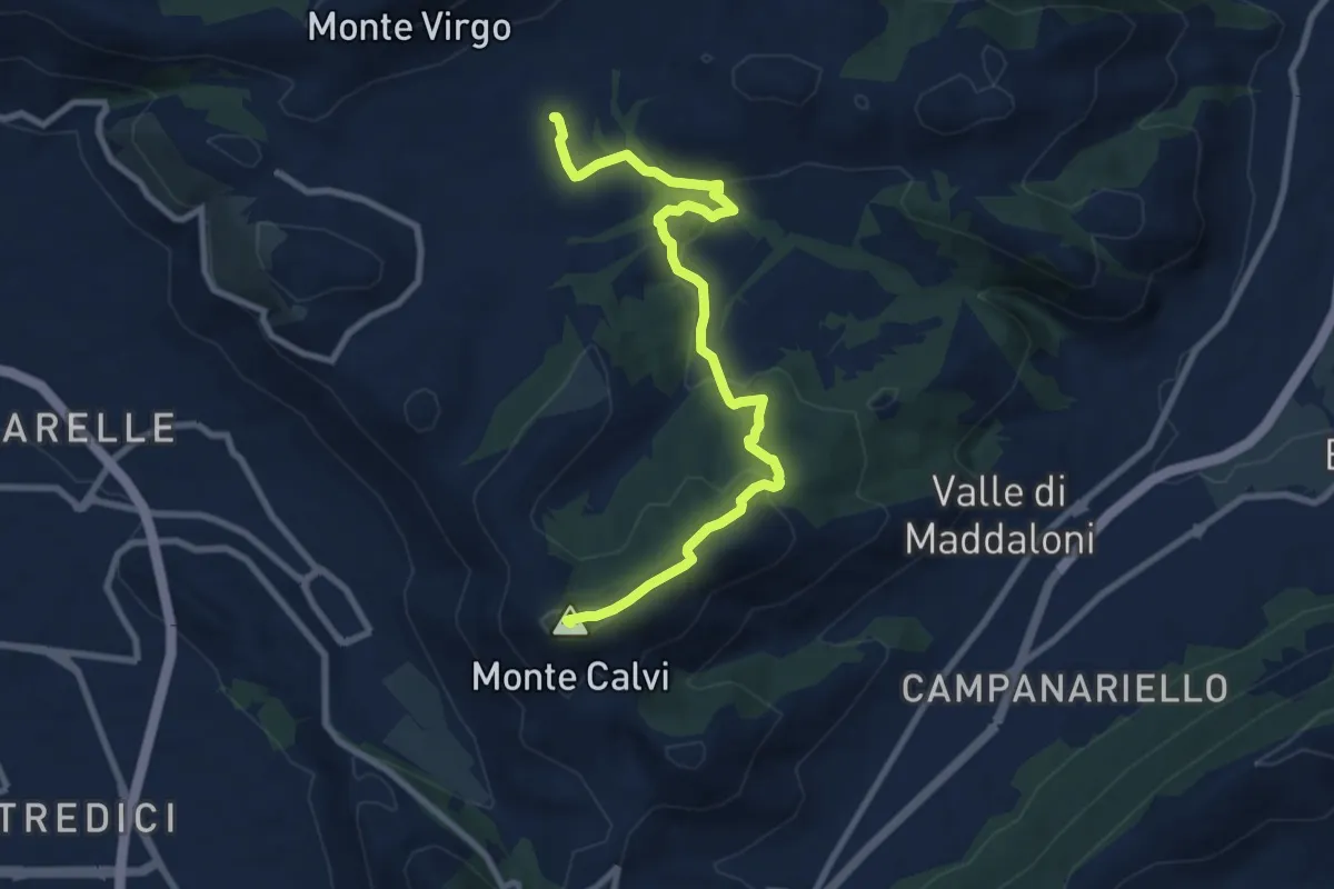
Medium · Summit
Piazza dei Colli Tifatini, Pozzovetere – Monte Calvi
10.3 km · ↑ 392 m · 3 h 16 min · 6 km away
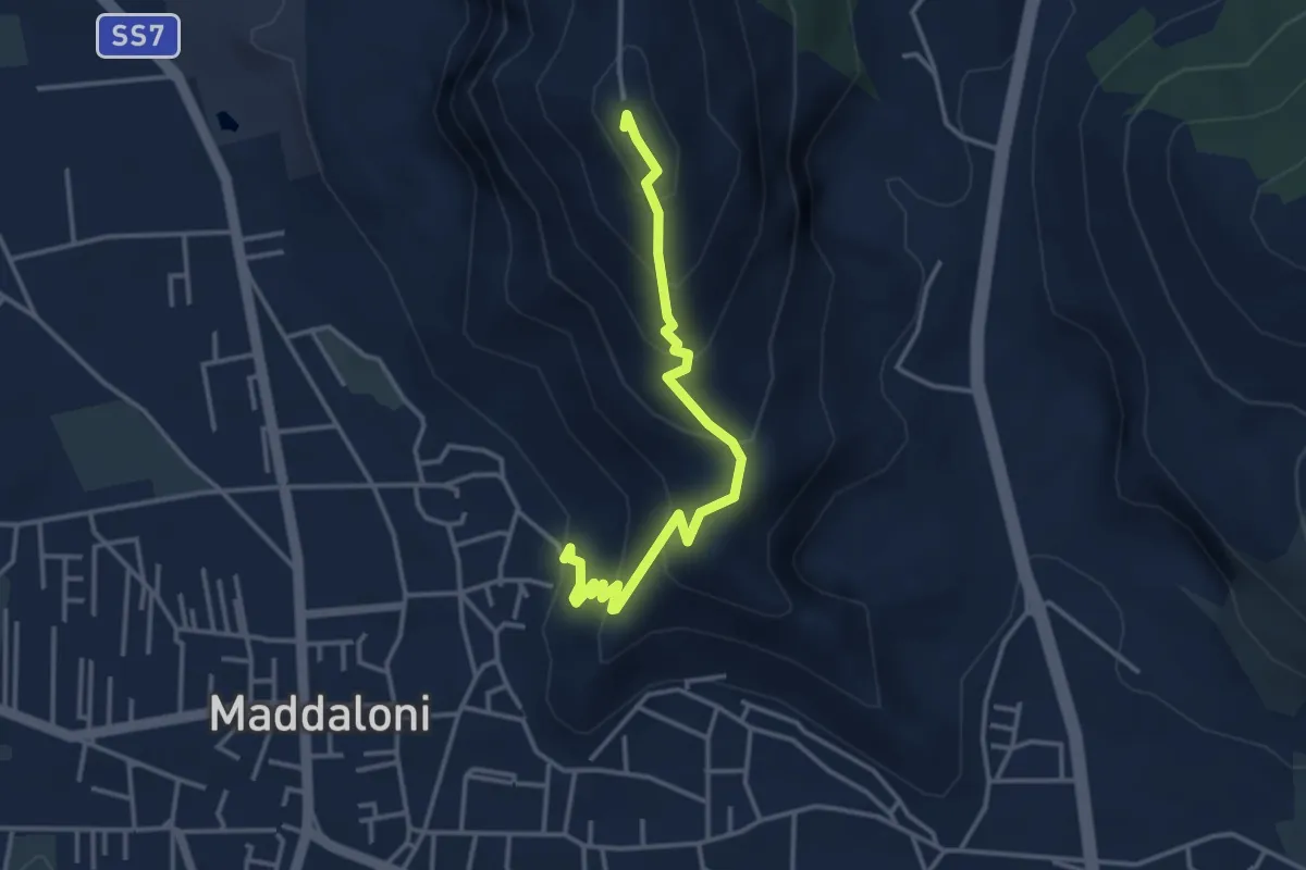
Easy · Summit
Maddaloni – Colle Di Maio
4.0 km · ↑ 309 m · 1 h 37 min · 6 km away
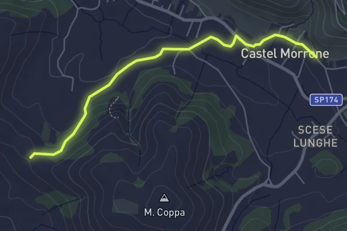
Easy · Trail
Caserta Vecchia – Castel Morrone
5.3 km · ↑ 120 m · 1 h 31 min · 6 km away
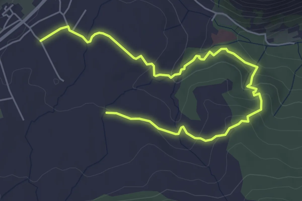
Easy · Trail
Sentiero Torrente Ciummiento
3.7 km · ↑ 107 m · 1 h 9 min · 6 km away
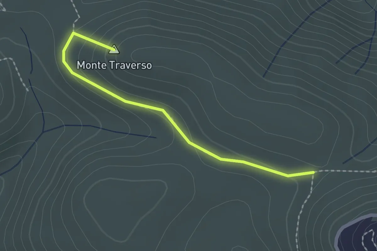
Easy · Summit
Le Pianetelle, 81020 Castel Morrone CE – Santo Negro, 81020 Castel Morrone CE
2.1 km · ↑ 77 m · 39 min · 7 km away
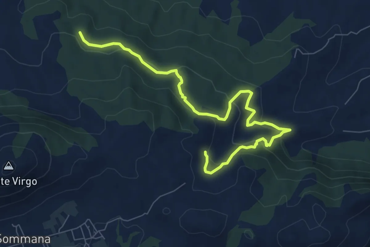
Easy · Trail
Sentiero delle Fonti - Linara Carpine Fico
4.6 km · ↑ 151 m · 1 h 30 min · 7 km away
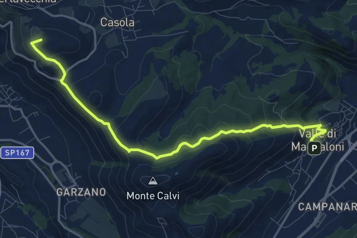
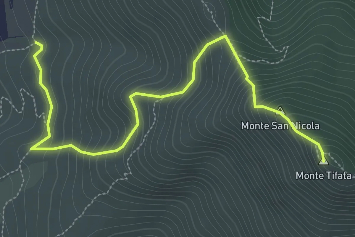
Medium · Summit
Valle di Maddaloni – Caserta Vecchia
11.4 km · ↑ 508 m · 3 h 47 min · 7 km away
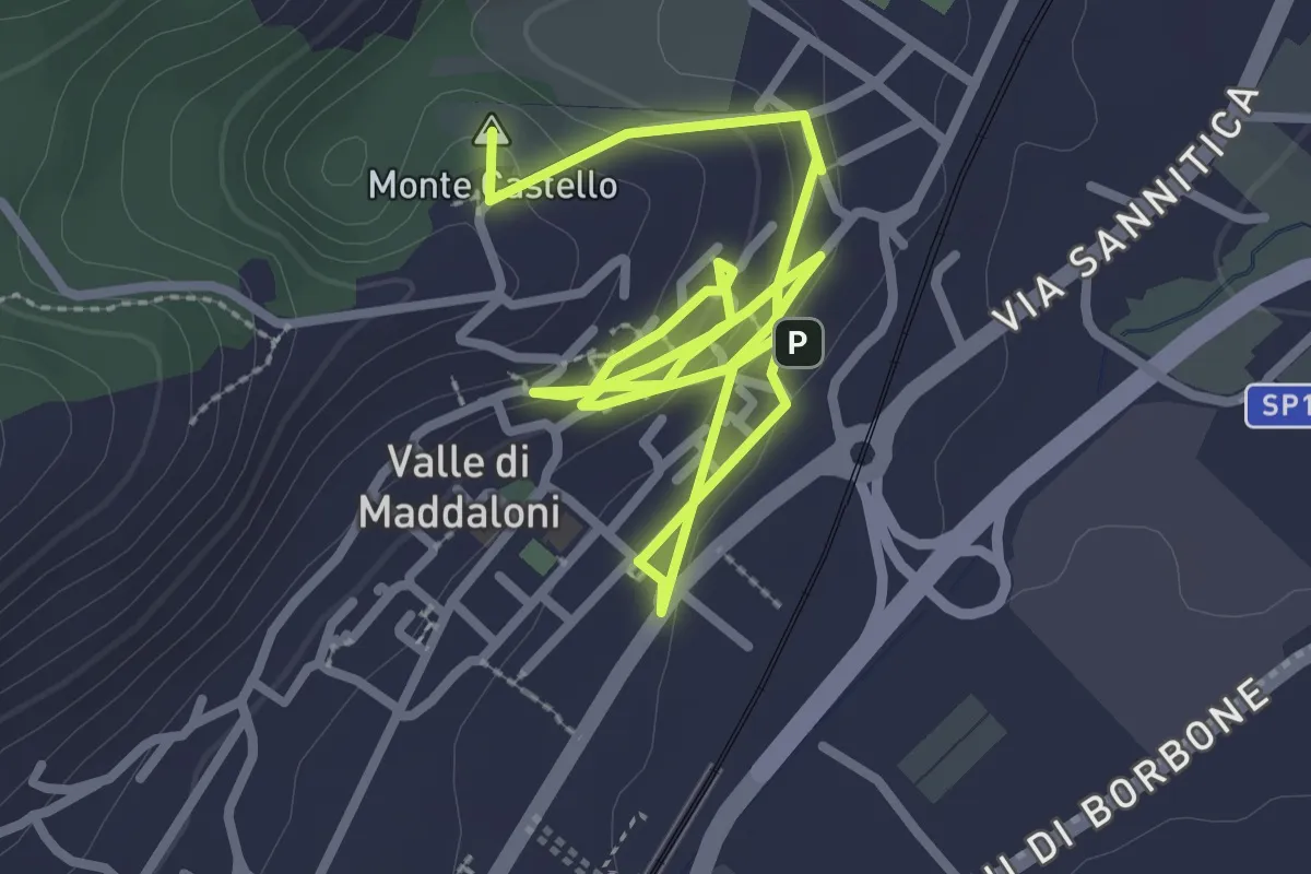
Medium · Summit
Via Francesco Borbone II - Incrocio 603 – Incrocio 603
4.0 km · ↑ 376 m · 1 h 45 min · 7 km away
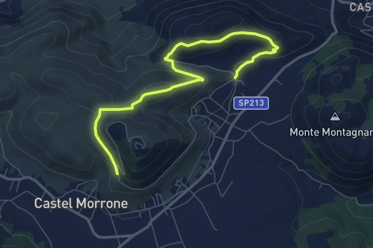
Easy · Summit
Valle Antica (Medievale)
5.1 km · ↑ 191 m · 1 h 37 min · 7 km away
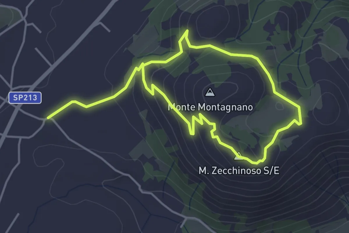
Medium · Trail
P.za Bronzetti, 81020 Castel Morrone CE – Via Don Antonio, 81020 Castel Morrone CE
8.4 km · ↑ 278 m · 2 h 36 min · 8 km away
Easy · Summit
Castel Morrone – Castel Morrone
3.5 km · ↑ 125 m · 1 h 10 min · 8 km away
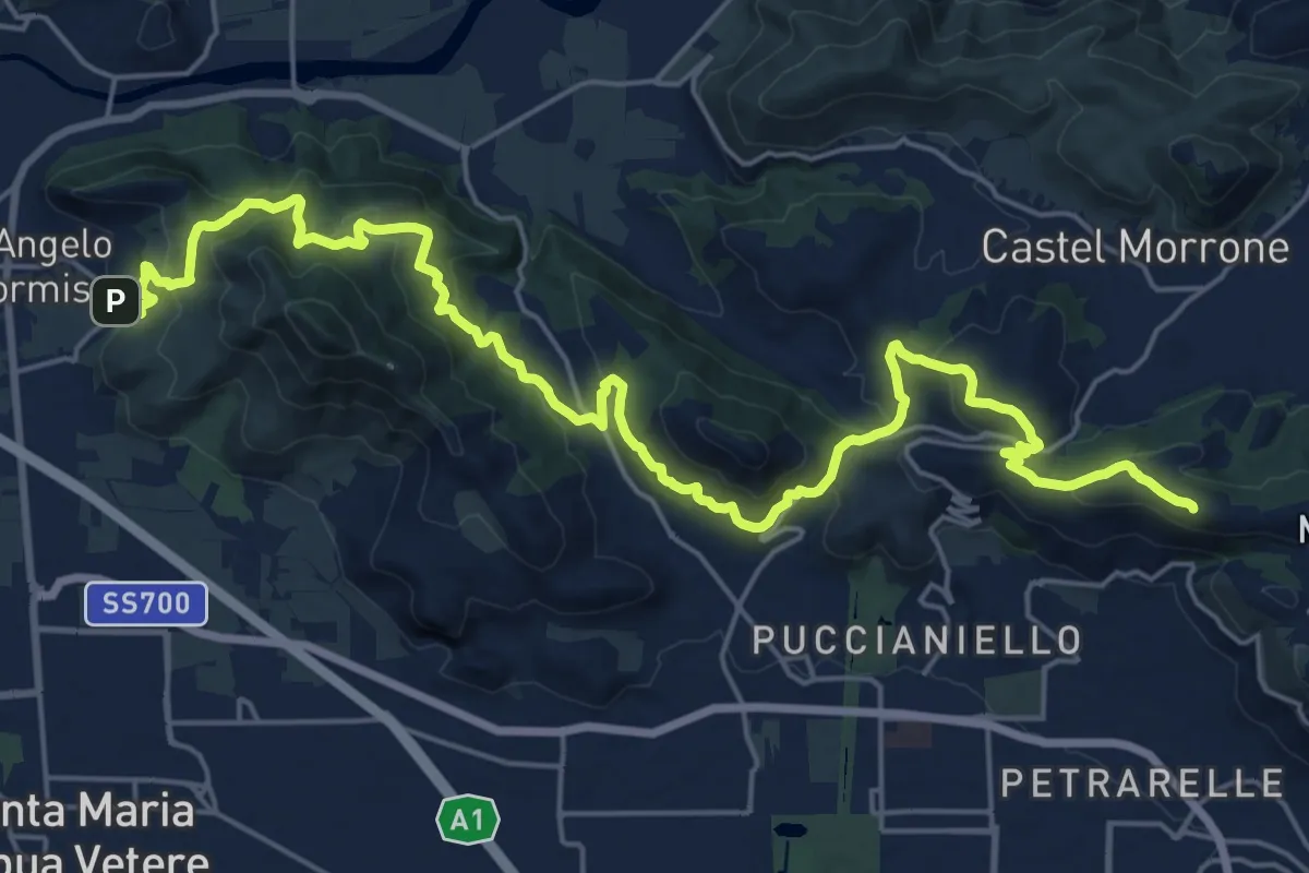
Demanding · Summit
Caserta Vecchia – Sant'Angelo in Formis
30.0 km · ↑ 1179 m · 9 h 38 min · 8 km away
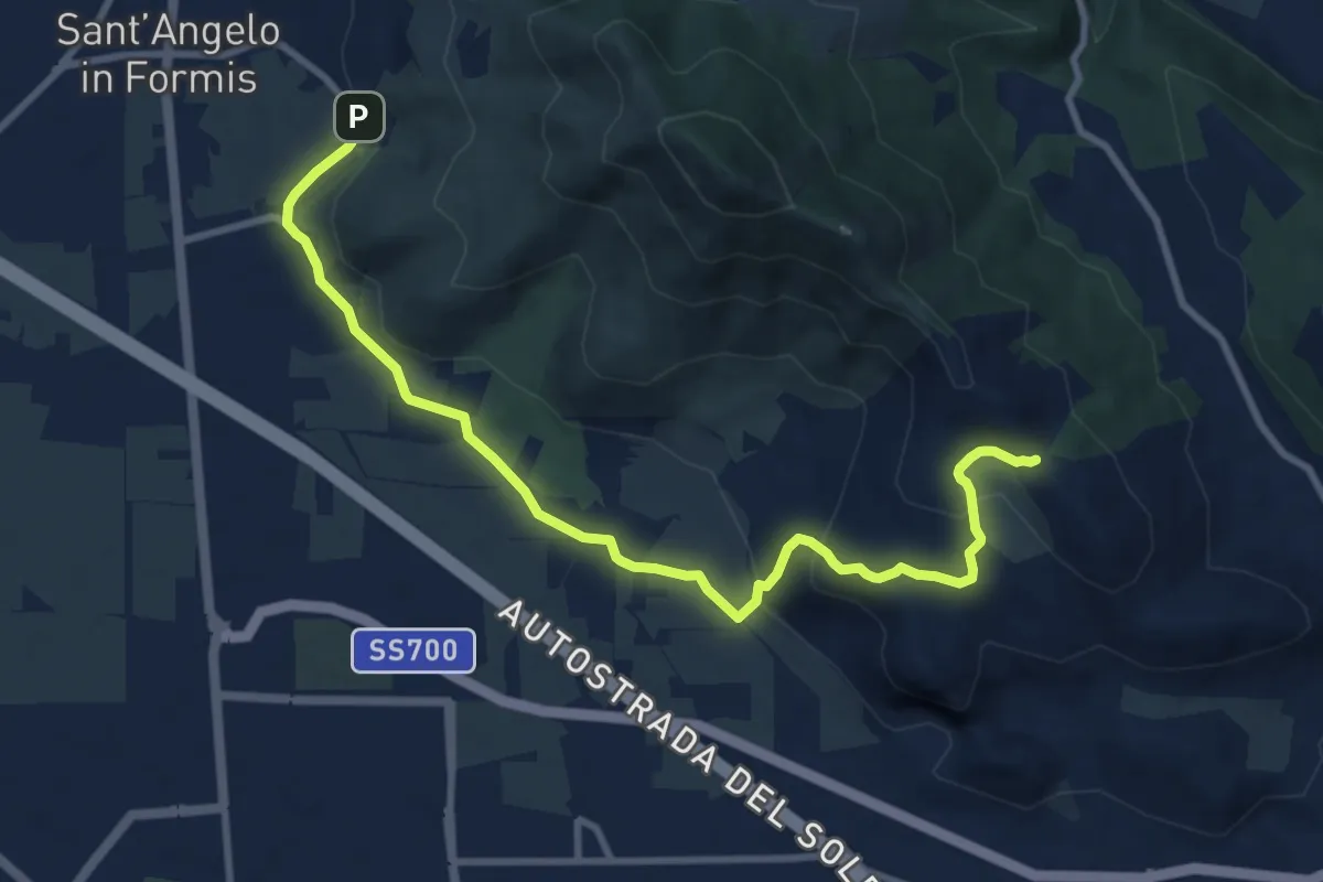
Medium · Cabin
Rifugio Cai Tifata – Borgo Sant'Angelo
11.3 km · ↑ 323 m · 3 h 22 min · 8 km away
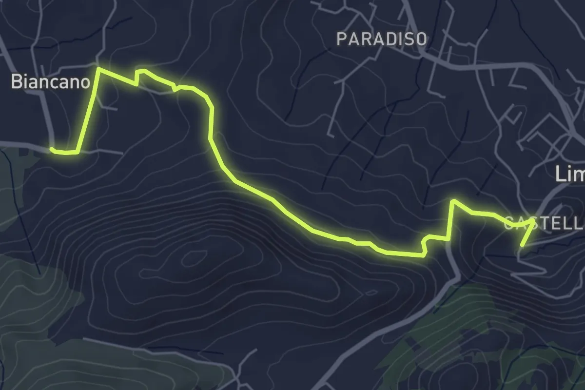
Easy · Trail
Limatola (Biancano ) – Limatola (Fontana di Margherita de Tucziaco)
6.8 km · ↑ 266 m · 2 h 10 min · 8 km away
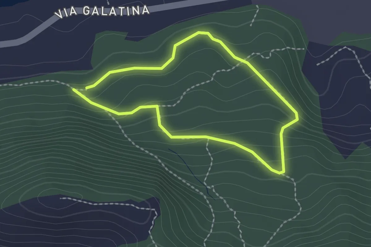
Easy · Trail
bosco san vito Incrocio 800 – bosco san vito Incrocio 800
1.8 km · ↑ 88 m · 39 min · 8 km away
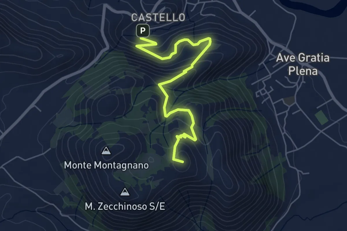
Medium · Summit
Fontana Margherita de Tucziaco – sella Monte Zecchinoso
6.0 km · ↑ 343 m · 2 h 10 min · 9 km away
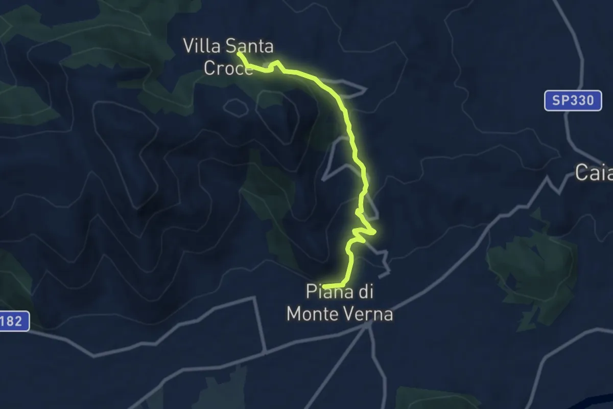
Medium · Trail
Piana di Monte Verna – Villa Santa Croce
7.5 km · ↑ 349 m · 2 h 32 min · 11 km away
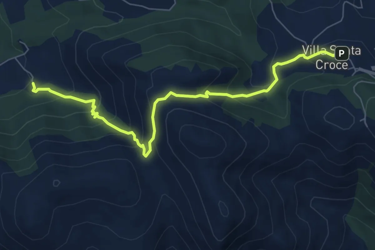
Medium · Trail
Villa Santa Croce – Vallata
7.3 km · ↑ 488 m · 2 h 46 min · 13 km away
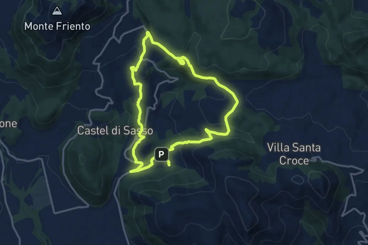
Medium · Trail
Strangolagalli (Castel di Sasso) – Strangolagalli (Castel di Sasso)
9.6 km · ↑ 312 m · 3 h 4 min · 13 km away
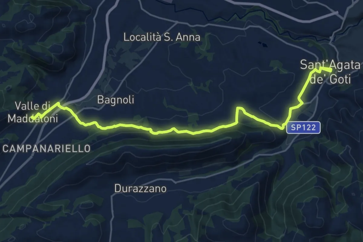
Demanding · Trail
Sant'Agata de' Goti – Valle di Maddaloni
20.4 km · ↑ 475 m · 5 h 51 min · 14 km away
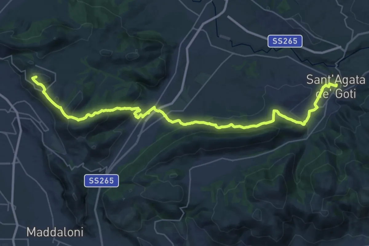
Demanding · Summit
Via Micaelica
31.8 km · ↑ 993 m · 9 h 40 min · 15 km away
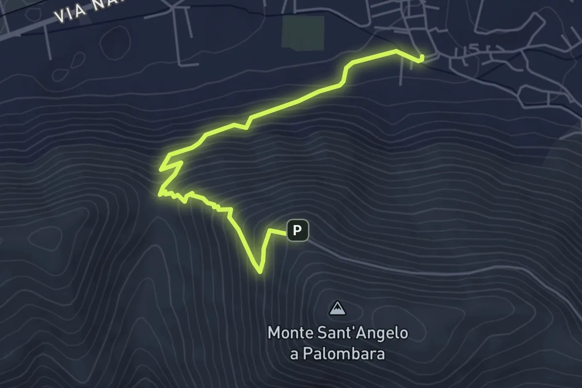
Medium · Trail
San Felice a Cancello – Sant'Angelo a Palombara - Intersezione GTP
5.8 km · ↑ 446 m · 2 h 20 min · 15 km away