Trails near Cassino
27 hikes starting within 15 km, nearest first.
Nearest first
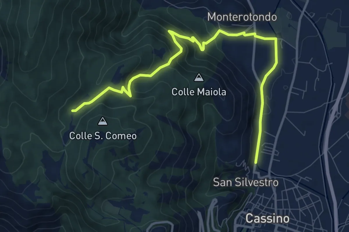
Medium · Trail
Roorkee Road
11.2 km · ↑ 472 m · 3 h 40 min · 1 km away
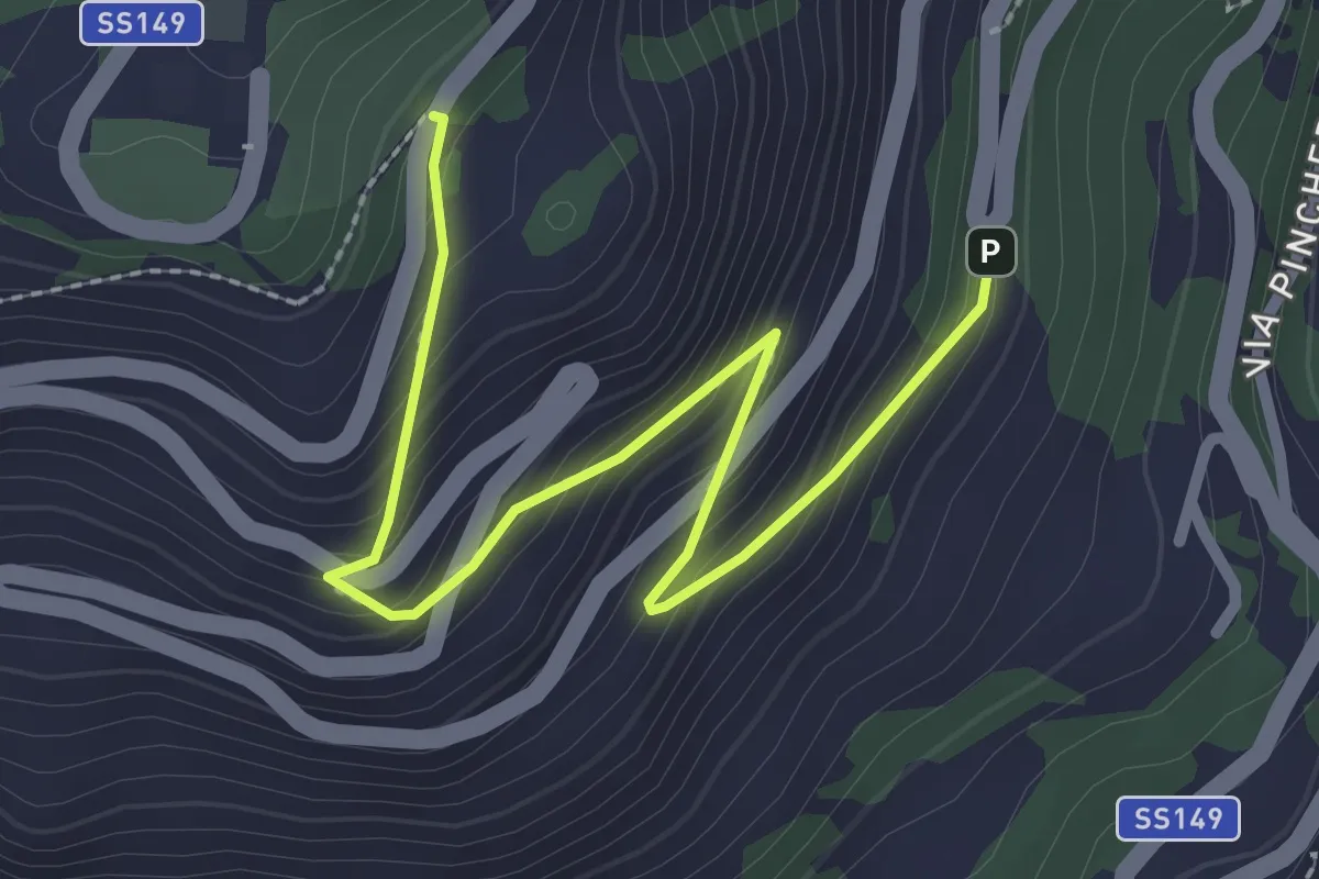
Easy · Trail
Sentiero storico per Montecassino
3.1 km · ↑ 239 m · 1 h 16 min · 1 km away
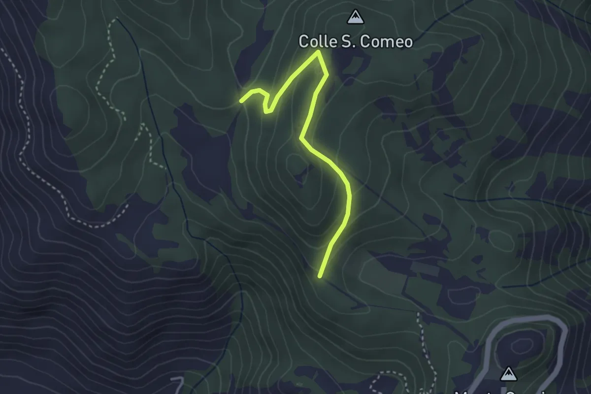
Easy · Trail
Sentiero della Stele
3.3 km · ↑ 178 m · 1 h 10 min · 2 km away
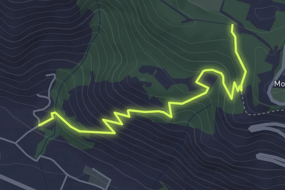
Medium · Trail
Sentiero di S.Scolastica
5.0 km · ↑ 353 m · 1 h 57 min · 3 km away
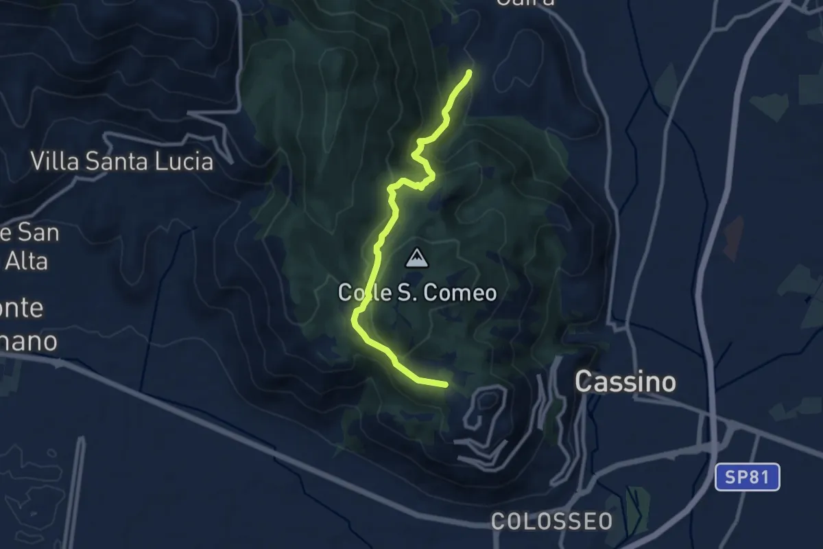
Medium · Trail
Cavendish Road
9.2 km · ↑ 506 m · 3 h 17 min · 3 km away
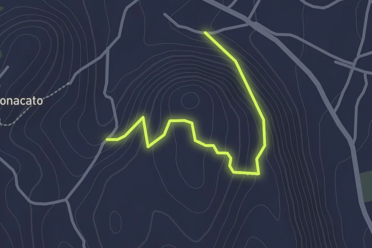
Easy · Trail
Sentiero Facciata
2.8 km · ↑ 169 m · 1 h 1 min · 4 km away
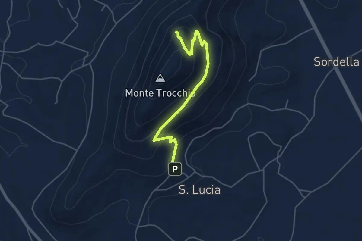
Easy · Trail
Sentiero Trocchio
4.3 km · ↑ 274 m · 1 h 37 min · 5 km away
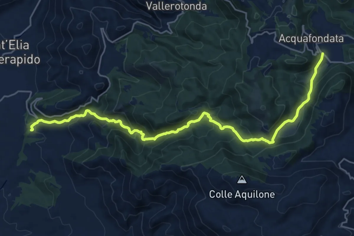
Demanding · Trail
Inferno Track - PE2
19.7 km · ↑ 954 m · 6 h 43 min · 5 km away
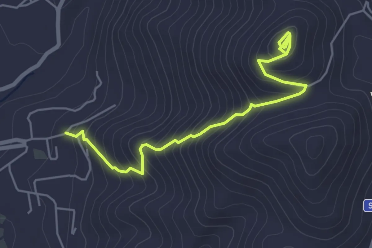
Medium · Trail
Sentiero Madonna del Raditto - SR
5.1 km · ↑ 505 m · 2 h 18 min · 7 km away
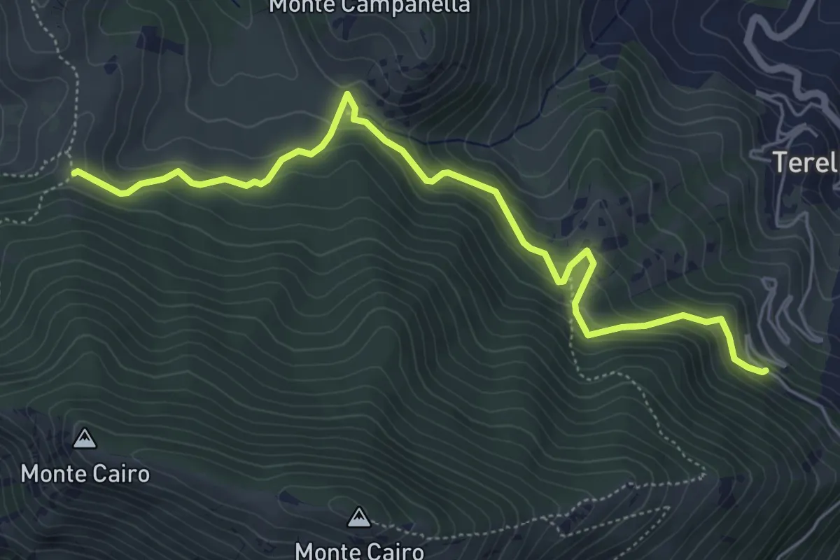
Medium · Cabin
La Sbarra - Pozzacone
6.6 km · ↑ 458 m · 2 h 33 min · 7 km away
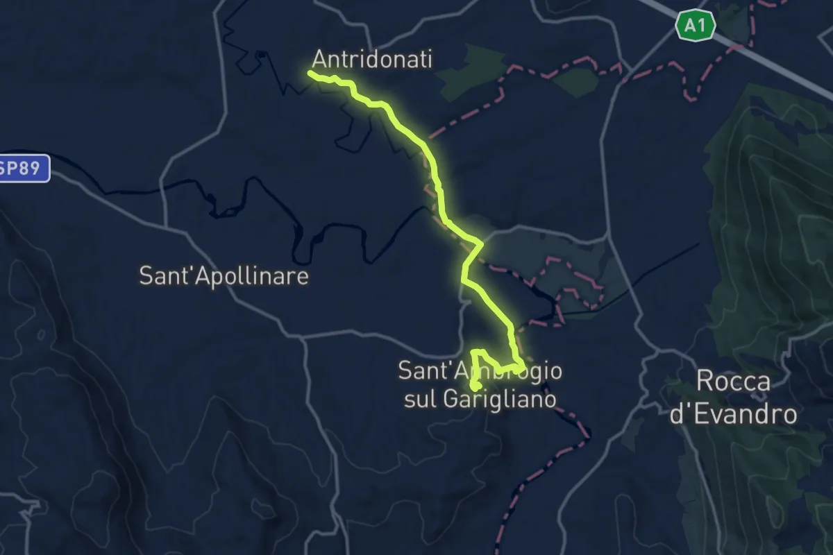
Easy · Pilgrim path
Cammino di San Filippo Neri - Tappa 1
6.8 km · ↑ 120 m · 1 h 54 min · 8 km away
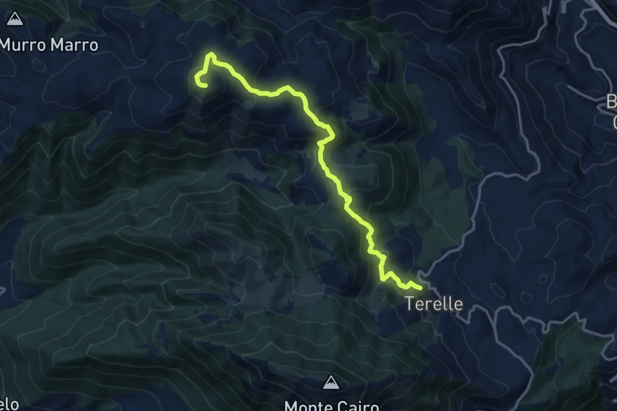
Medium · Summit
Terelle - Monte Obachelle
13.4 km · ↑ 670 m · 4 h 36 min · 8 km away
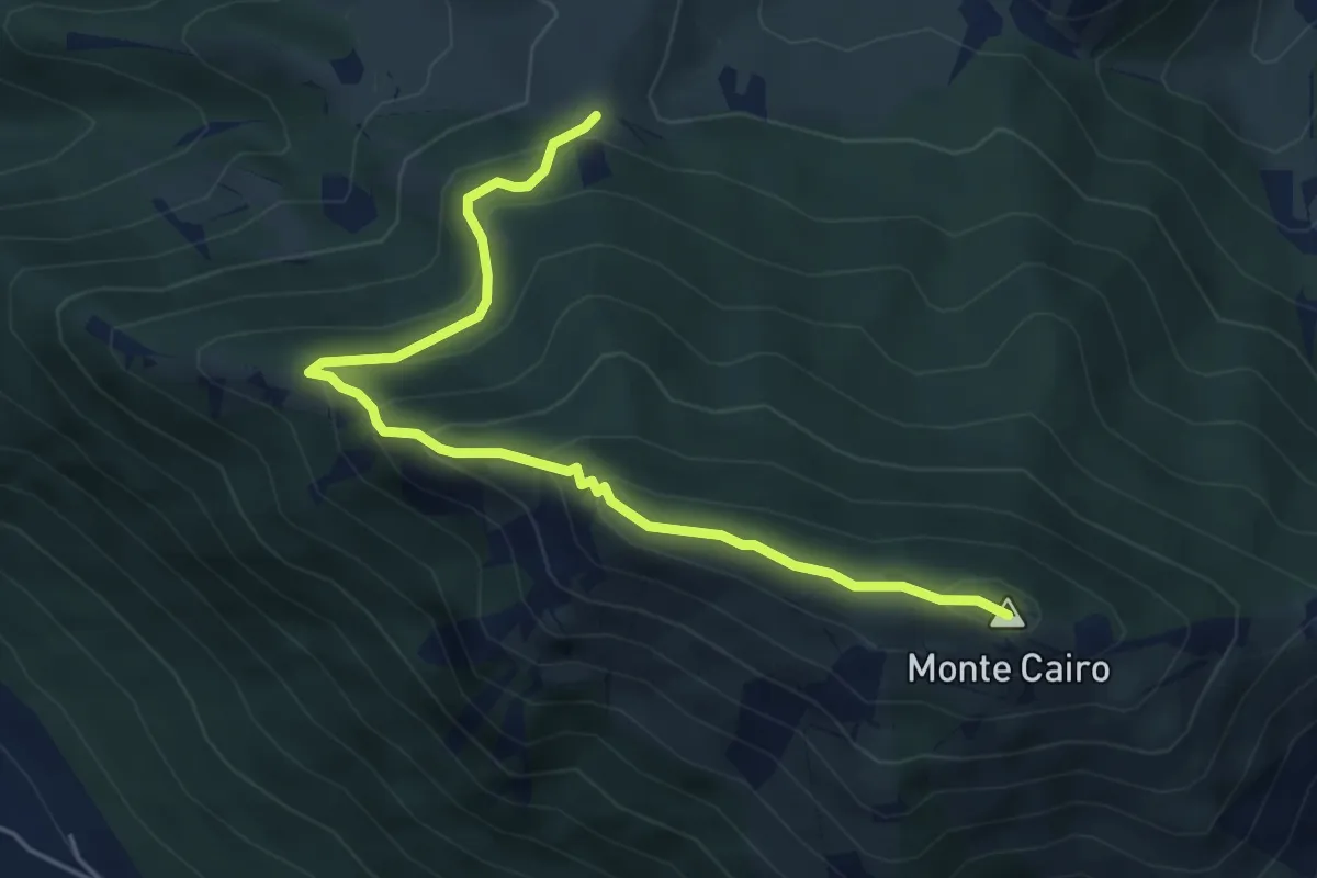
Demanding · Summit
Pozzacone - Monte Cairo
5.8 km · ↑ 382 m · 2 h 11 min · 9 km away
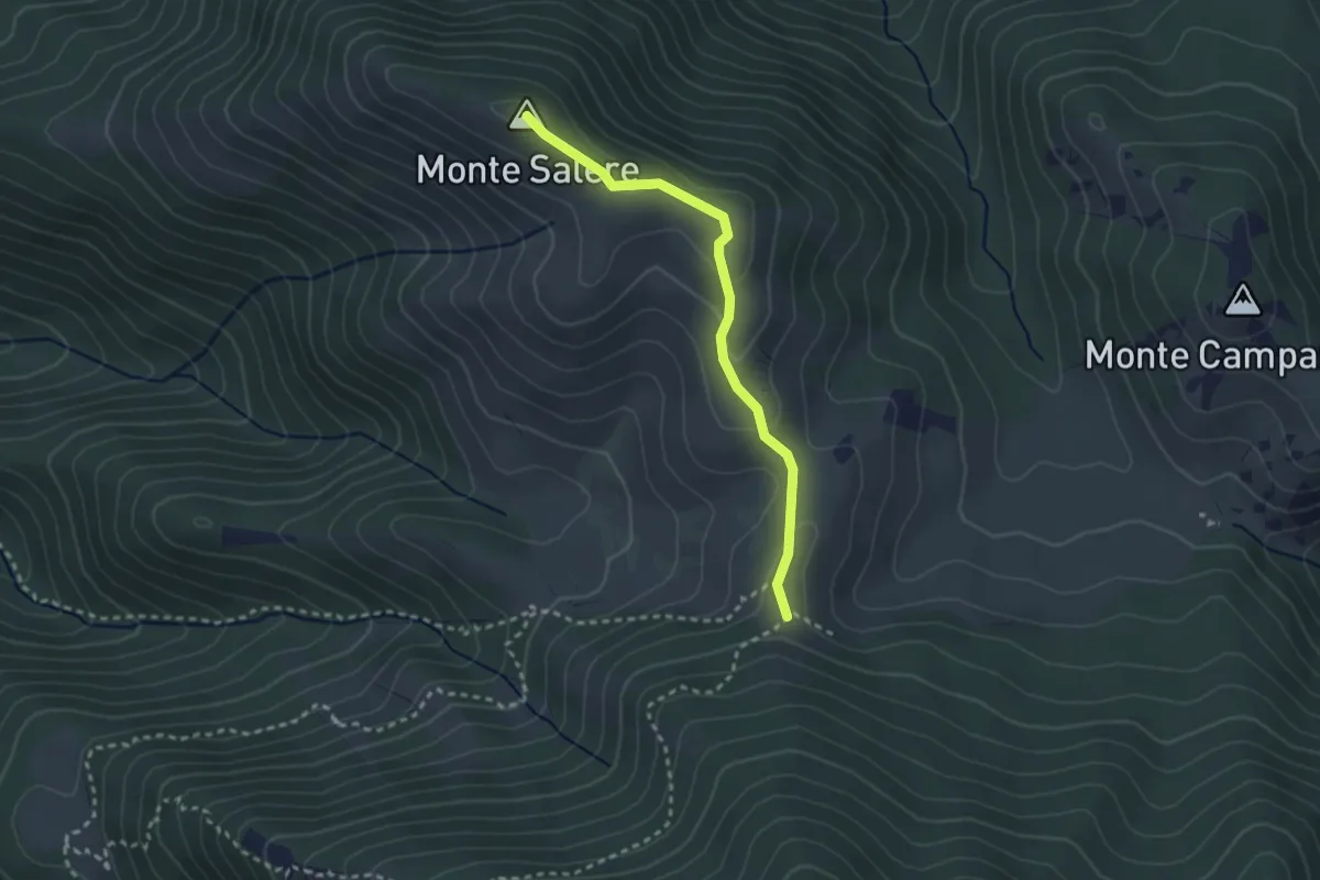
Easy · Summit
Monte Salere
2.8 km · ↑ 94 m · 52 min · 9 km away
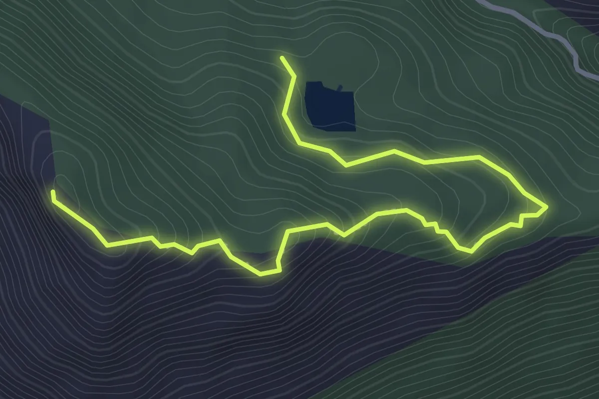
Easy · Trail
Fortini Tedeschi di Monte Cifalco
4.1 km · ↑ 255 m · 1 h 31 min · 9 km away
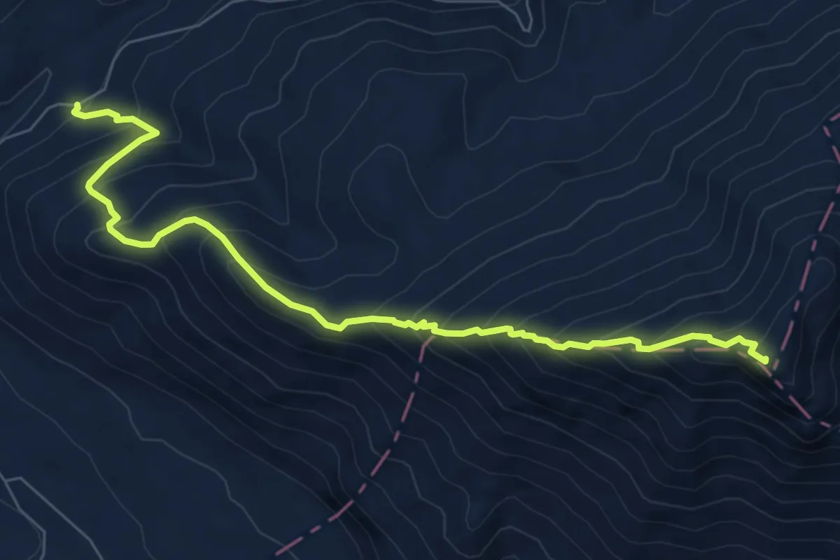
Demanding · Summit
Sentiero monte Sammucro
8.4 km · ↑ 887 m · 3 h 54 min · 10 km away
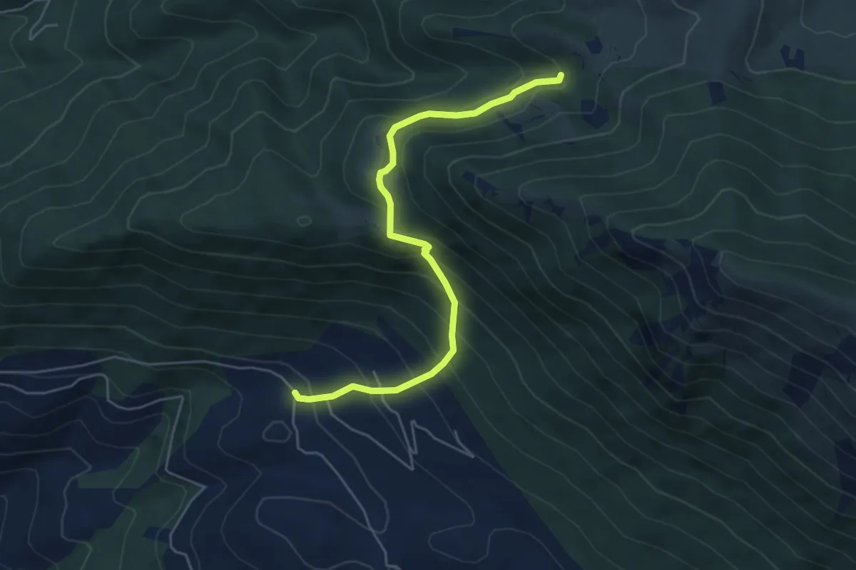
Medium · Trail
La Forma - Fosso Omo di Cairo
5.8 km · ↑ 519 m · 2 h 29 min · 10 km away
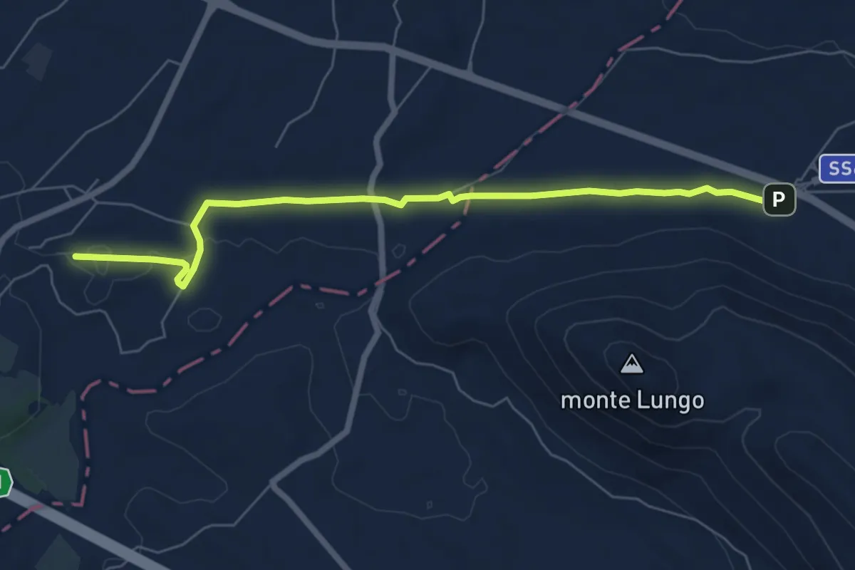
Easy · Trail
Transito - Via Micaelica
7.3 km · ↑ 36 m · 1 h 48 min · 11 km away
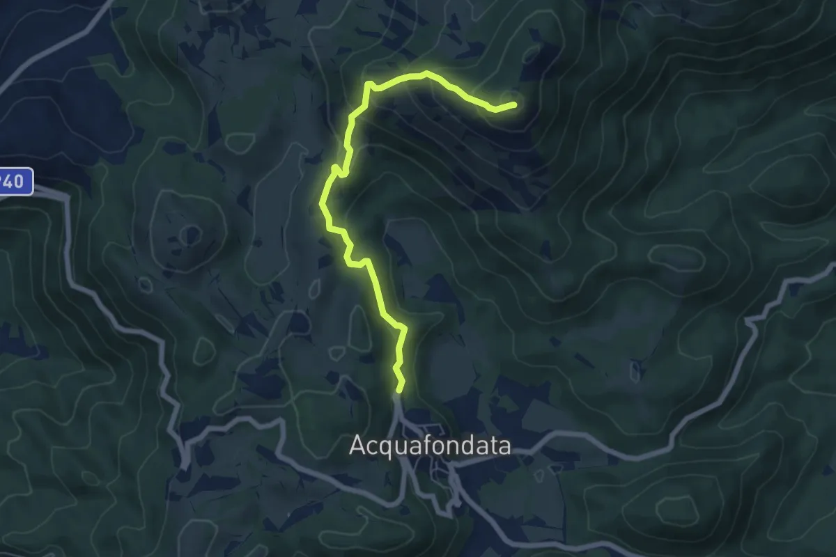
Medium · Summit
Monte Monna Acquafondata
6.4 km · ↑ 433 m · 2 h 27 min · 12 km away
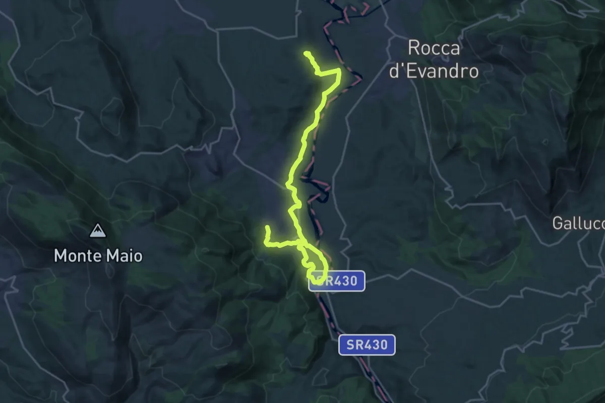
Medium · Pilgrim path
Cammino di San Filippo Neri - Tappa 2
10.8 km · ↑ 174 m · 3 h 5 min · 12 km away
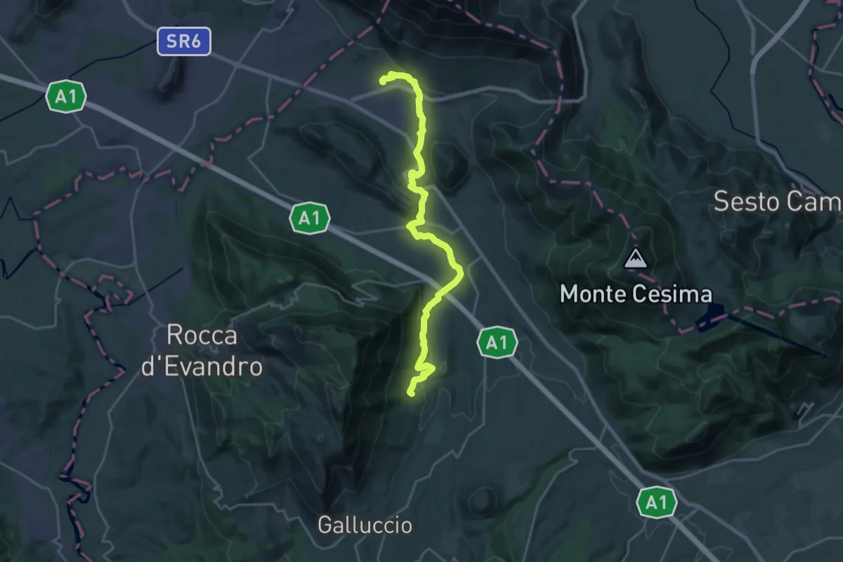
Demanding · Trail
Caspoli (Mignano Monte Lungo) – San Pietro Infine (Taverna di San Cataldo)
22.5 km · ↑ 563 m · 6 h 32 min · 12 km away
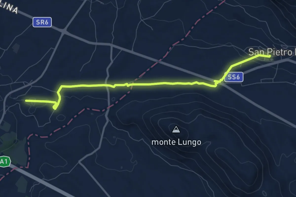
Medium · Trail
San Pietro Infine (Taverna di San Cataldo) – stazione ferroviaria Rocca d'Evandro
9.7 km · ↑ 87 m · 2 h 29 min · 12 km away
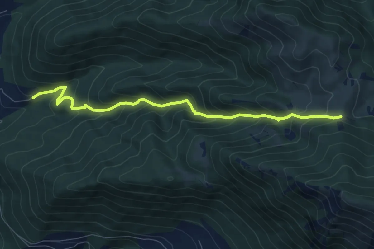
Medium · Cabin
Tigione - Pozzacone
8.2 km · ↑ 650 m · 3 h 20 min · 12 km away
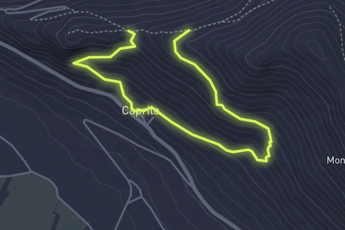
Medium · Trail
Monte Asprano - Caprile SB5
5.7 km · ↑ 459 m · 2 h 20 min · 14 km away
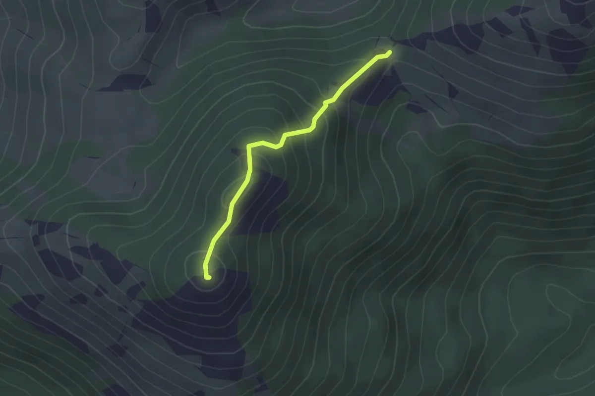
Easy · Summit
Valico delle due Monne – Monte Monna Acquafondata
2.3 km · ↑ 186 m · 56 min · 14 km away
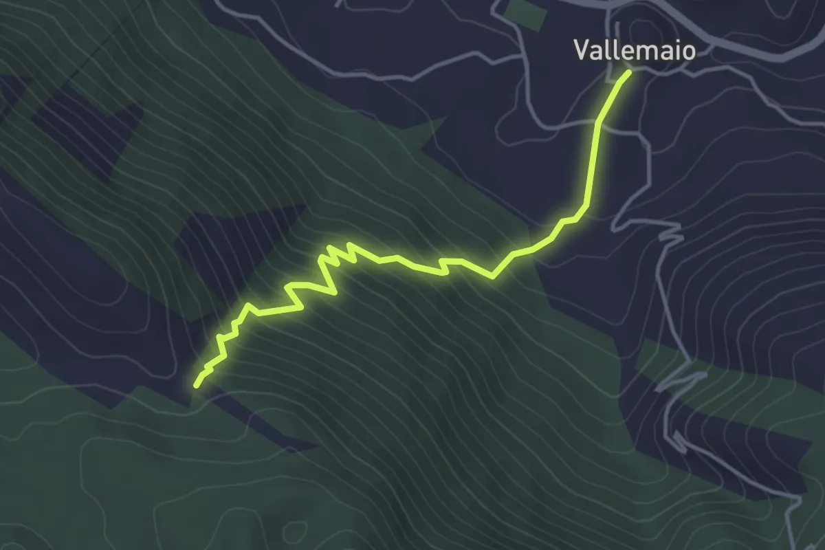
Medium · Trail
Vallemaio-Monte Maio
4.4 km · ↑ 391 m · 1 h 53 min · 14 km away
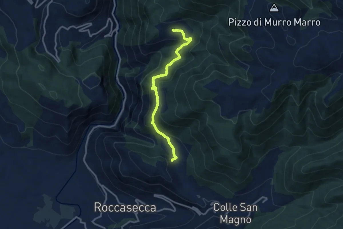
Medium · Trail
Sentieri del Brigante - SB7
8.1 km · ↑ 482 m · 2 h 57 min · 15 km away