Trails near Casteggio
32 hikes starting within 15 km, nearest first.
Nearest first
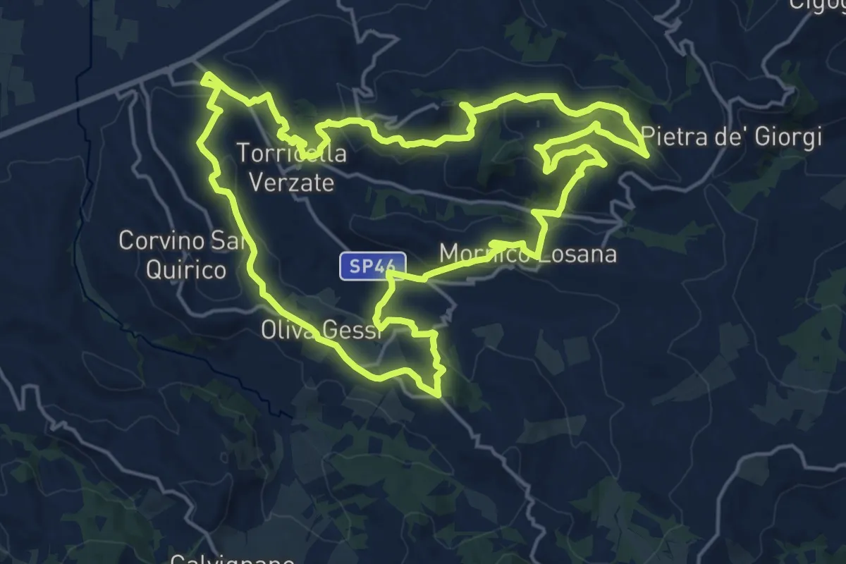
Demanding · Summit
315A
19.1 km · ↑ 582 m · 6 h 3 min · 4 km away
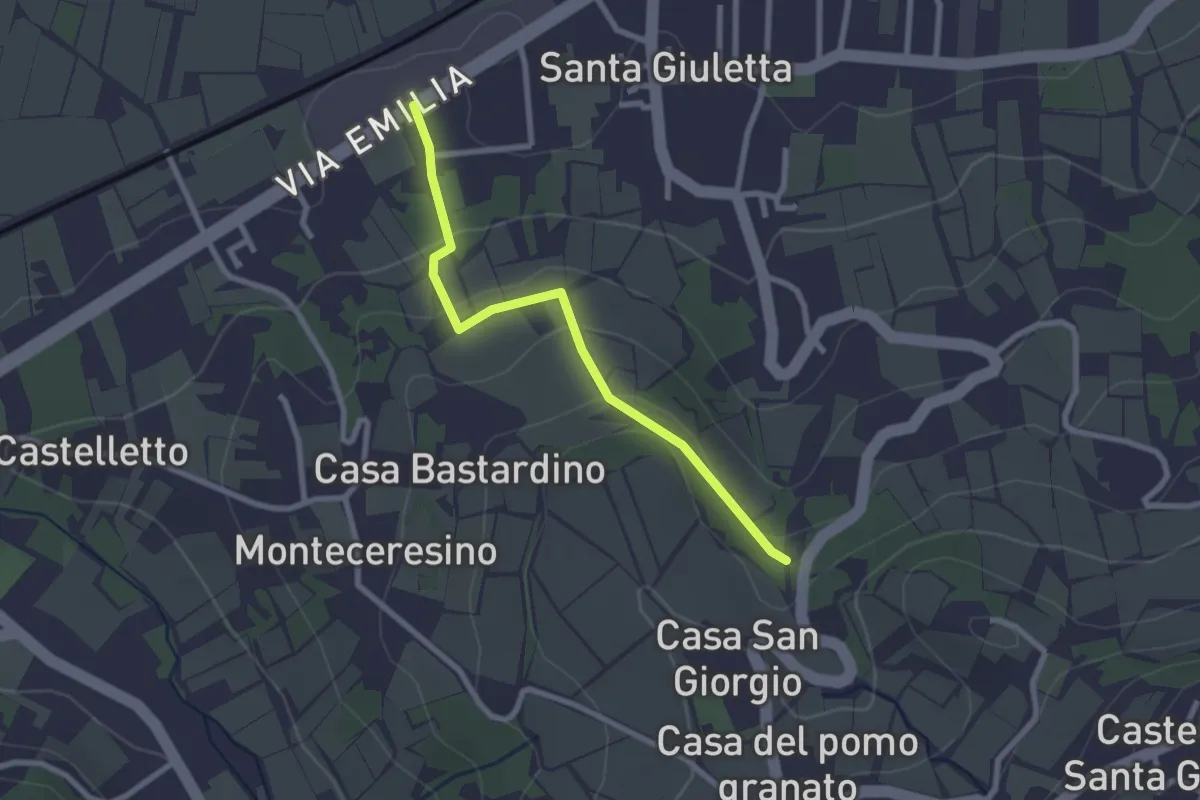
Easy · Trail
S.Giuletta-Casa Fontana
2.5 km · ↑ 85 m · 46 min · 5 km away
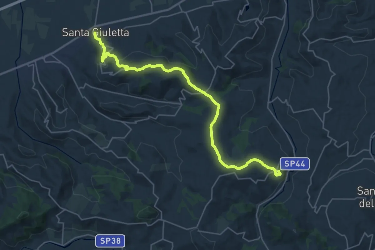
Demanding · Trail
315
21.0 km · ↑ 646 m · 6 h 22 min · 5 km away
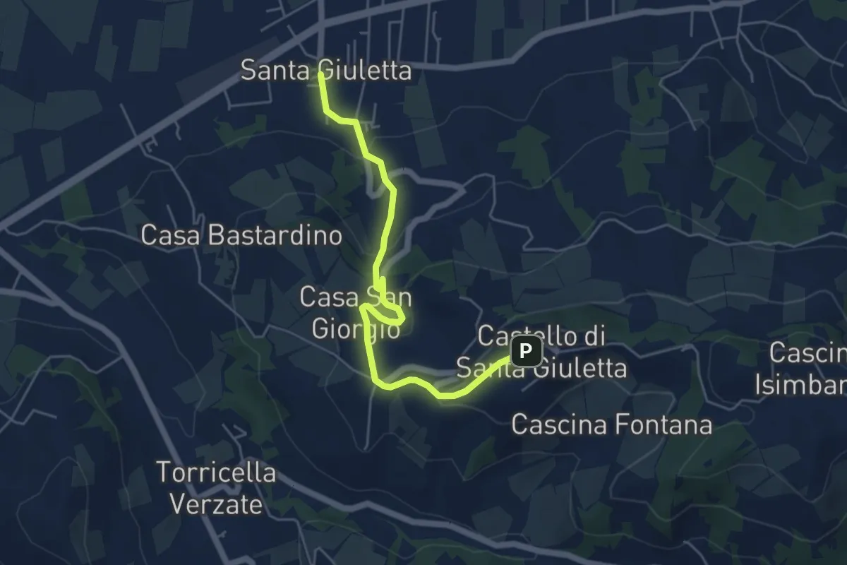
Easy · Trail
S.Giuletta-Frazione Castello
5.1 km · ↑ 210 m · 1 h 40 min · 6 km away
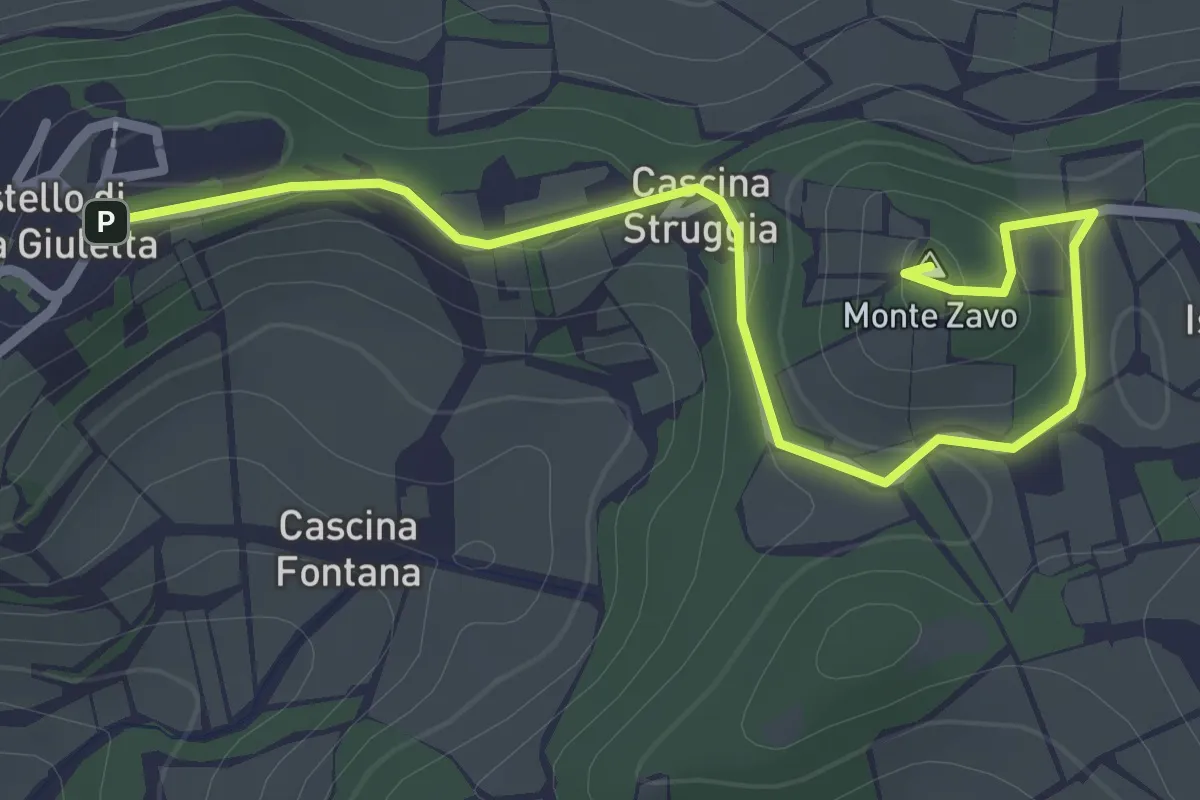
Easy · Summit
Da Castello al Monte Zavo
3.2 km · ↑ 88 m · 57 min · 6 km away
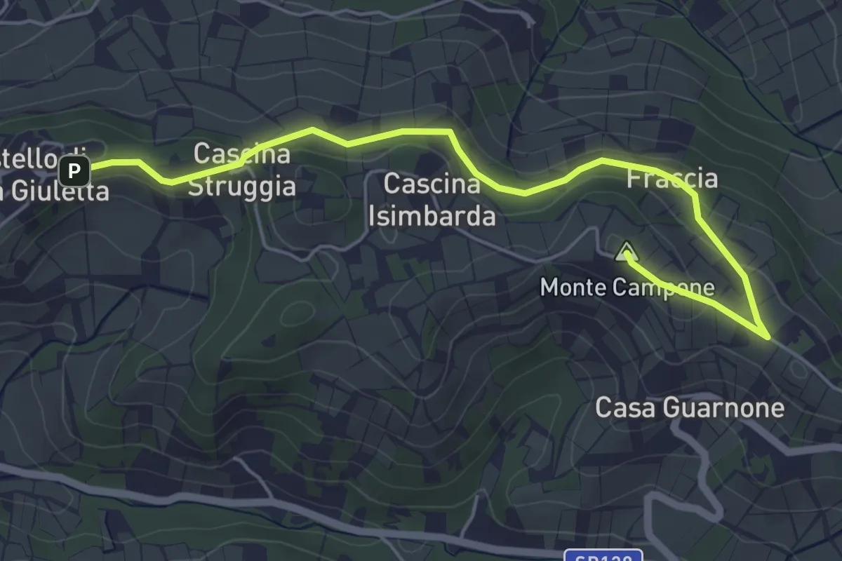
Easy · Summit
Strada panoramica Castello-Cinque strade
5.8 km · ↑ 142 m · 1 h 40 min · 6 km away
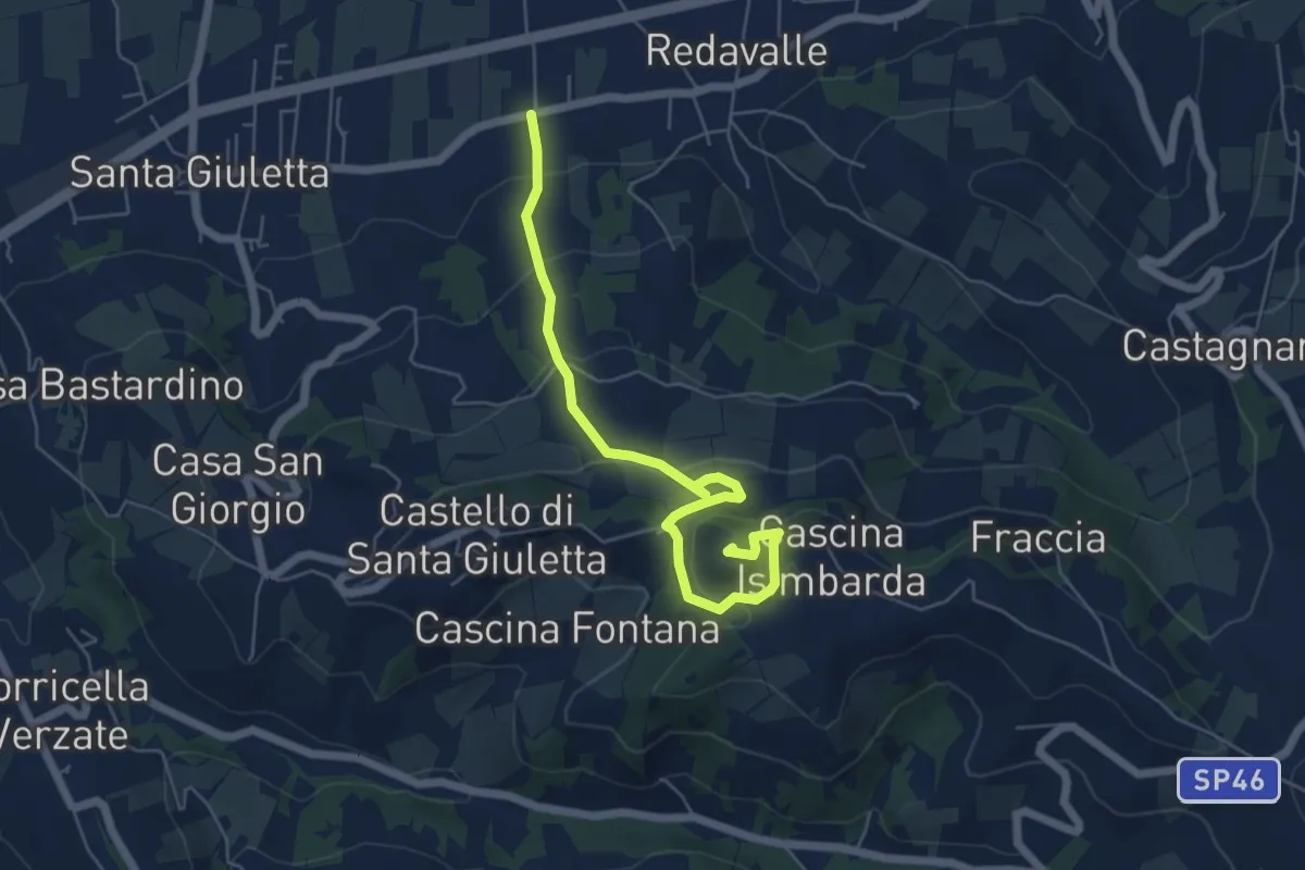
Easy · Summit
Da Manzo al Monte Zavo
6.1 km · ↑ 294 m · 2 h 5 min · 6 km away
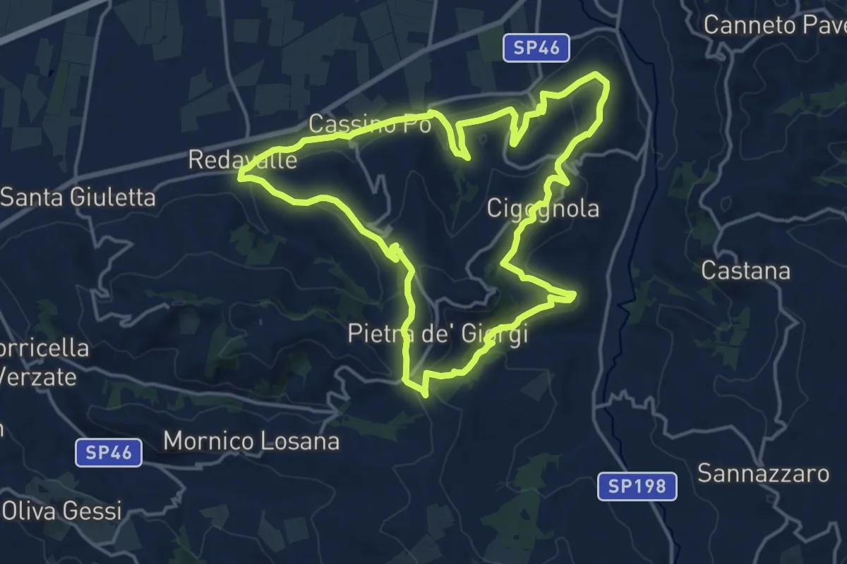
Medium · Summit
315b
15.9 km · ↑ 479 m · 5 h 1 min · 8 km away
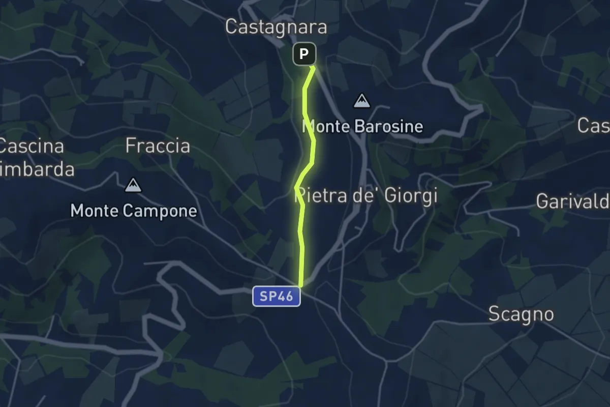
Easy · Trail
Dalle cinque strade a Castagnara lungo la strada della peschiera
2.6 km · ↑ 77 m · 46 min · 8 km away
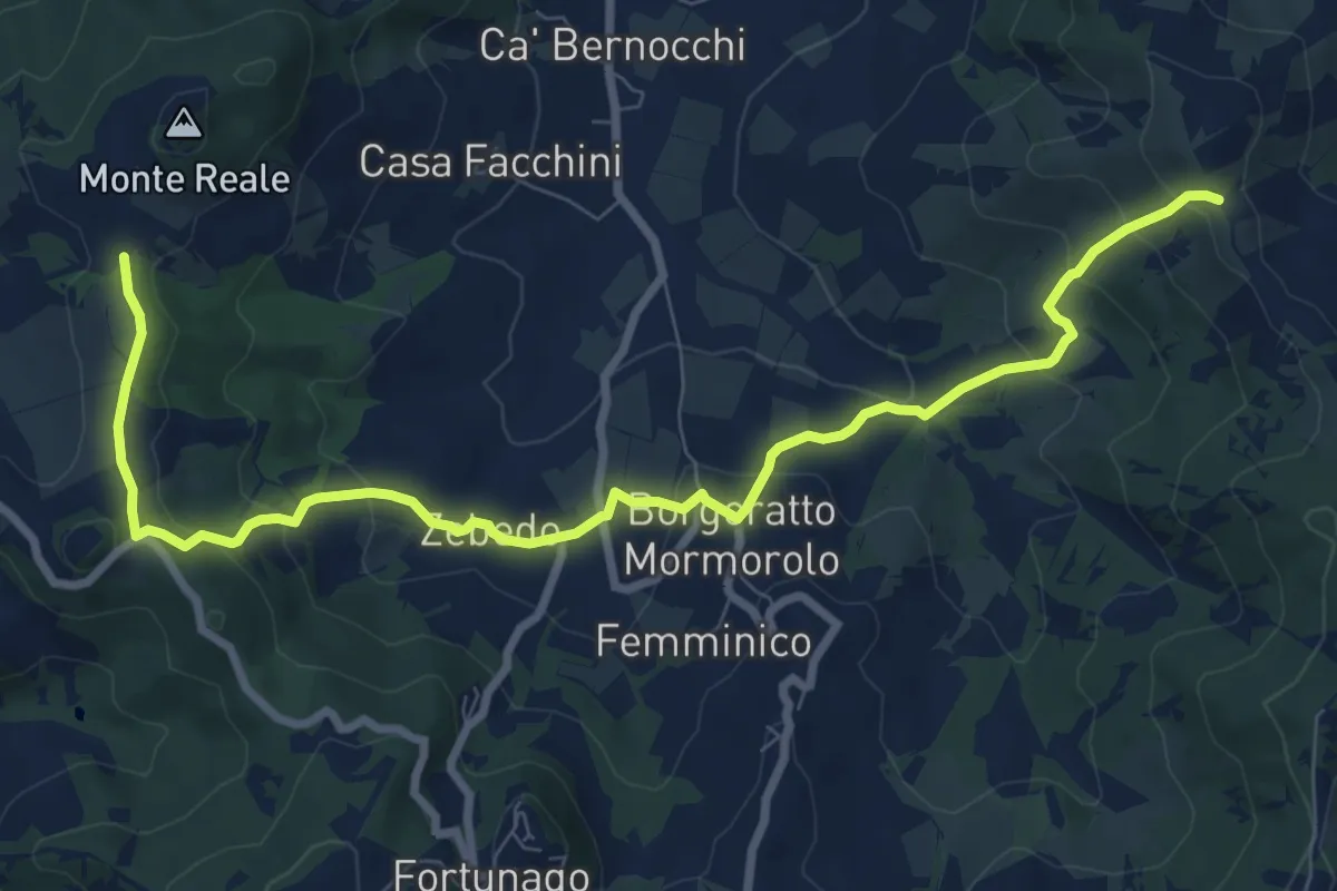
Medium · Trail
Incrocio Sentiero CAI 211 – Incrocio Sentiero 209
10.2 km · ↑ 507 m · 3 h 31 min · 9 km away
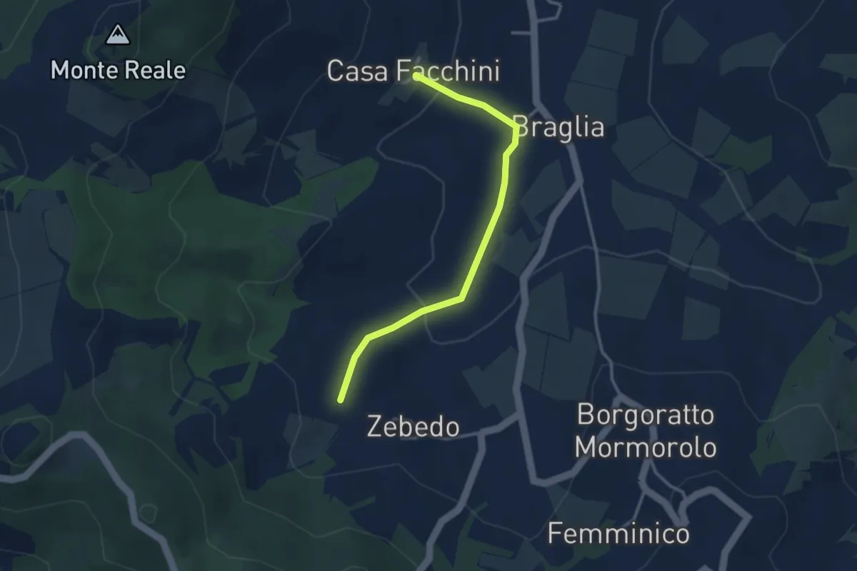
Easy · Trail
Zebedo – Casa Facchini
3.0 km · ↑ 82 m · 53 min · 9 km away
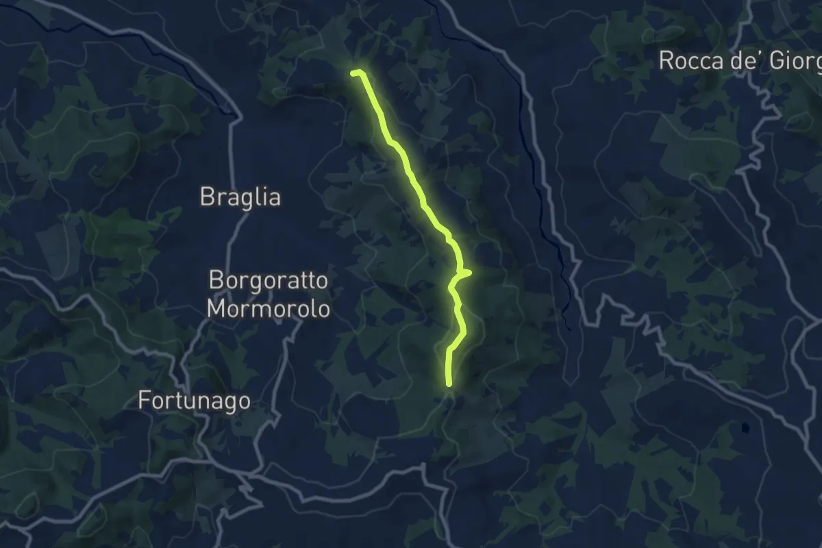
Easy · Trail
Pietra Focaia – Costa Pelata
7.5 km · ↑ 238 m · 2 h 17 min · 10 km away
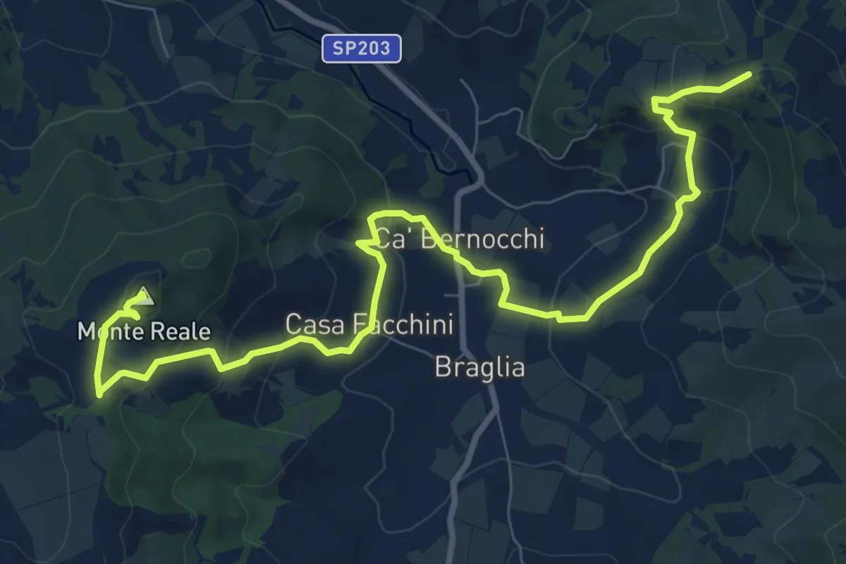
Medium · Summit
Incrocio Sentiero CAI 209 – M.te Reale
10.9 km · ↑ 466 m · 3 h 35 min · 10 km away
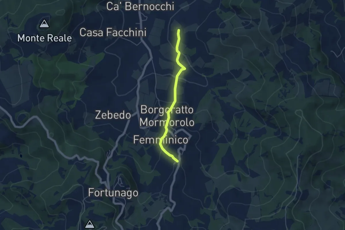
Easy · Trail
Percorso 211 – Inveriaghi
4.2 km · ↑ 192 m · 1 h 24 min · 10 km away
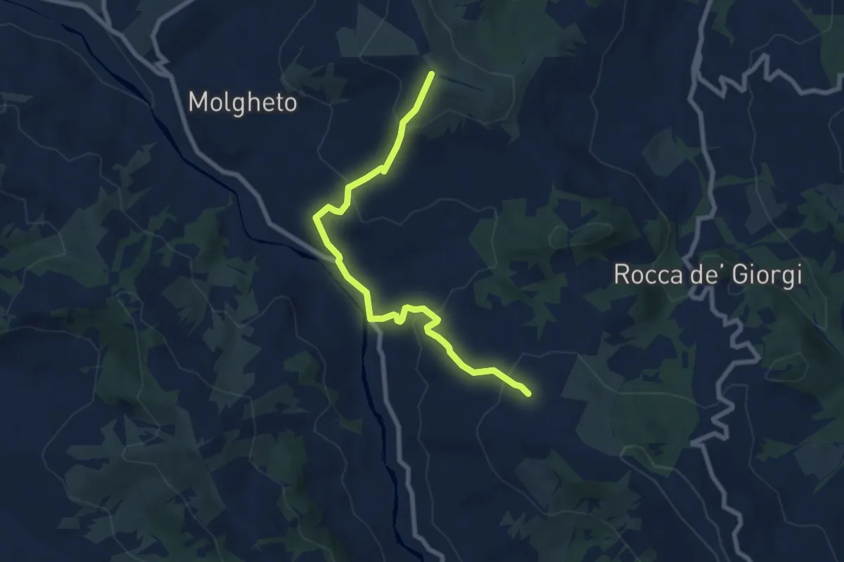
Medium · Trail
Costa del Vento – Incrocio Sentiero 201
7.3 km · ↑ 407 m · 2 h 37 min · 10 km away
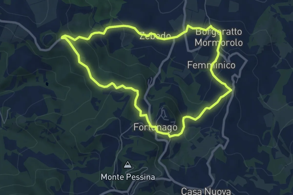
Easy · Trail
Petalo 4 Fiore di Borgoratto
6.1 km · ↑ 255 m · 2 h 4 min · 11 km away
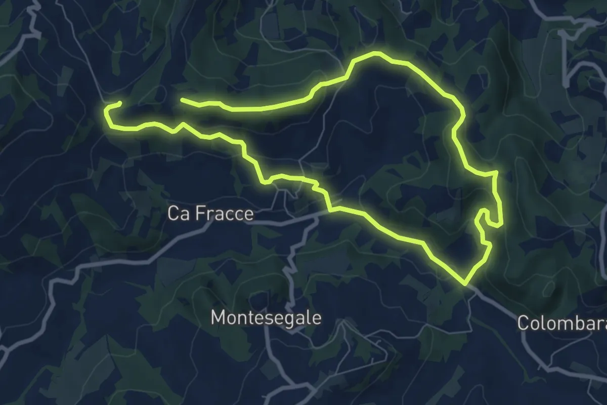
Easy · Trail
Anello Fornace Nord
7.0 km · ↑ 244 m · 2 h 17 min · 11 km away
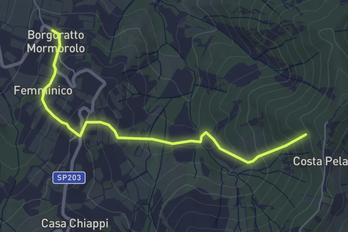
Easy · Trail
Petalo 5 Fiore di Borgoratto
5.3 km · ↑ 305 m · 1 h 55 min · 11 km away
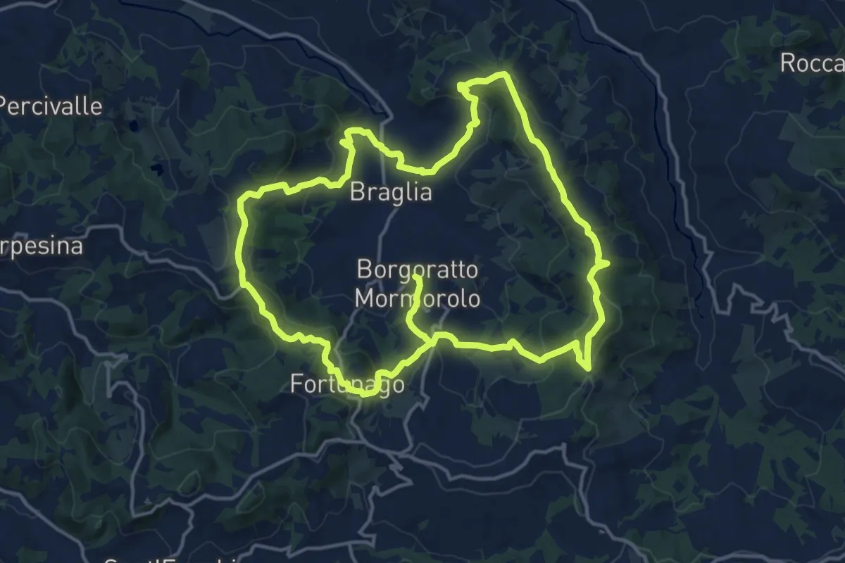
Medium · Trail
Corolla Fiore di Borgoratto
15.5 km · ↑ 573 m · 5 h 10 min · 11 km away
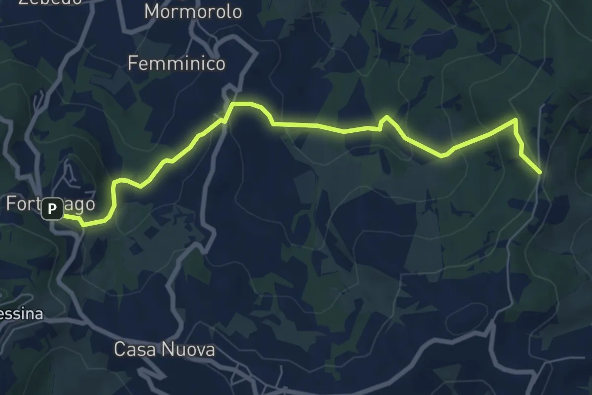
Medium · Trail
Fortunago – Costa Pelata
6.7 km · ↑ 352 m · 2 h 21 min · 11 km away
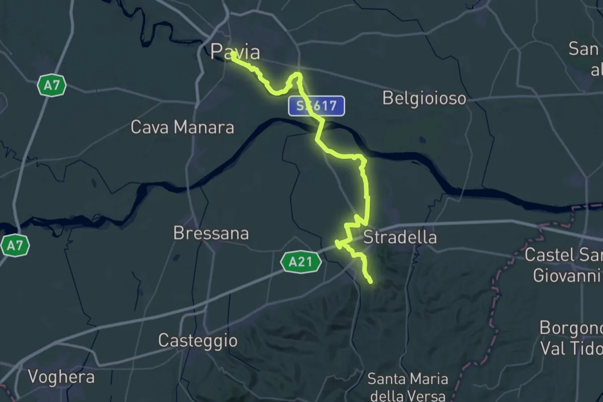
Demanding · Trail
Sentiero dei Celti e dei Liguri - tappa 2
29.5 km · ↑ 62 m · 7 h 35 min · 12 km away
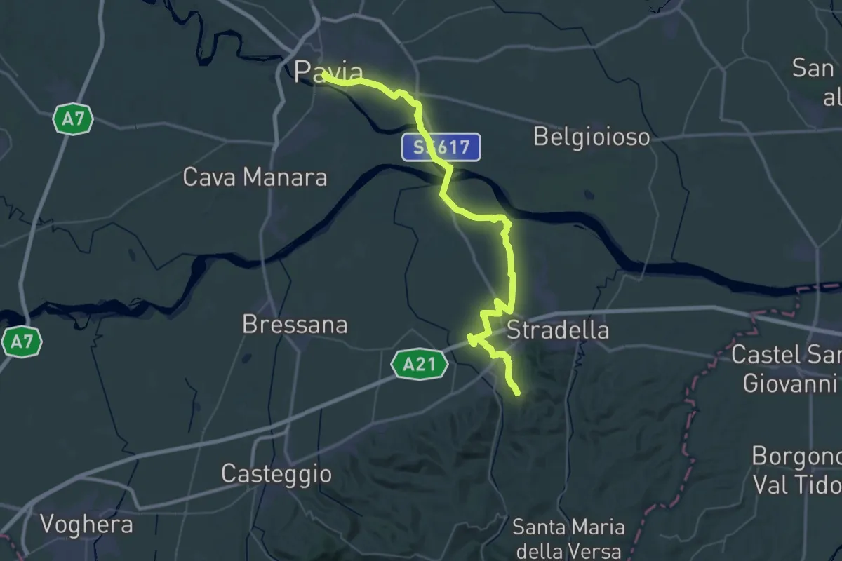
Demanding · Trail
Via degli Abati: Tappa 1
27.5 km · ↑ 59 m · 7 h 4 min · 12 km away
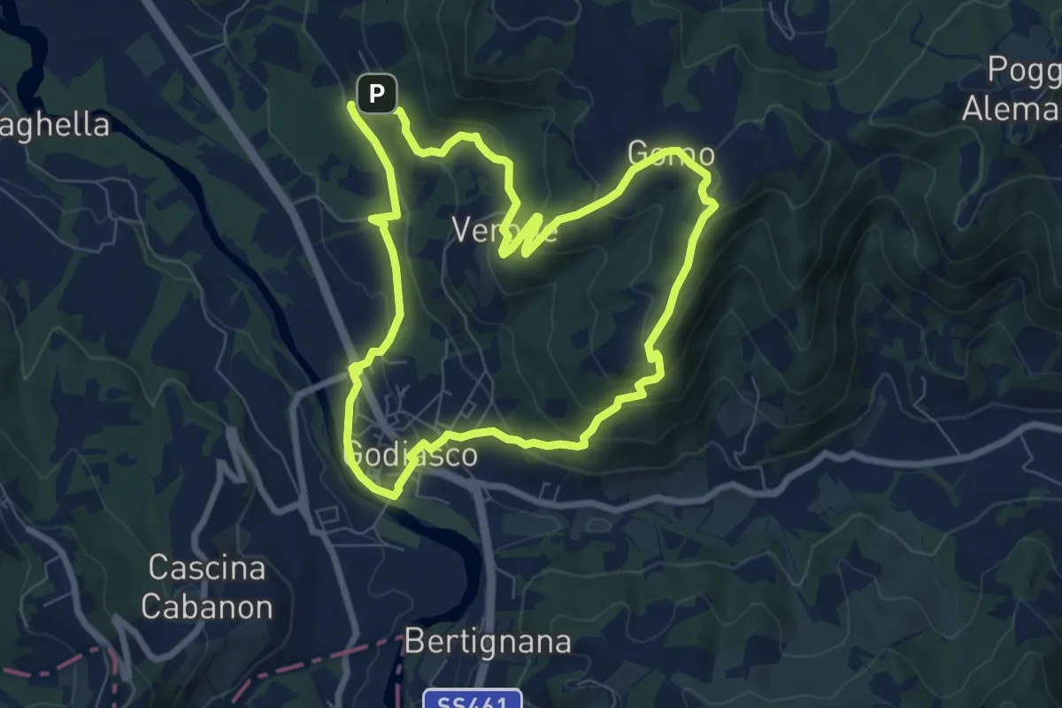
Easy · Trail
Anello Godiasco-Gomo
7.5 km · ↑ 313 m · 2 h 34 min · 13 km away
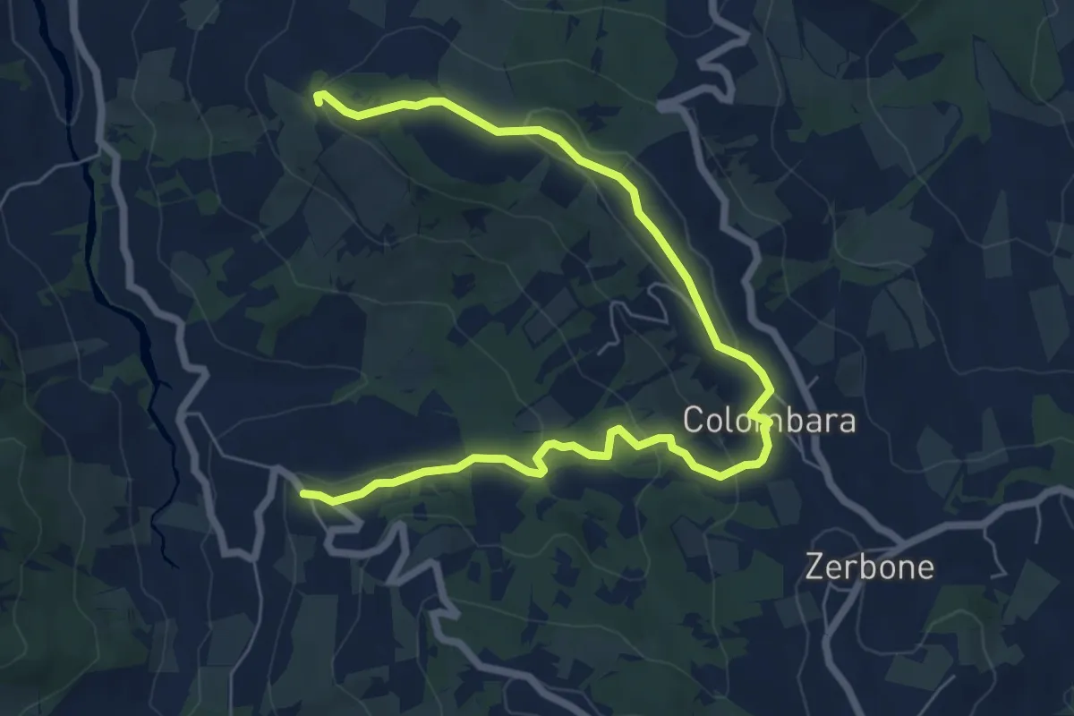
Medium · Trail
Canavera – Montù Berchielli
8.5 km · ↑ 242 m · 2 h 33 min · 13 km away
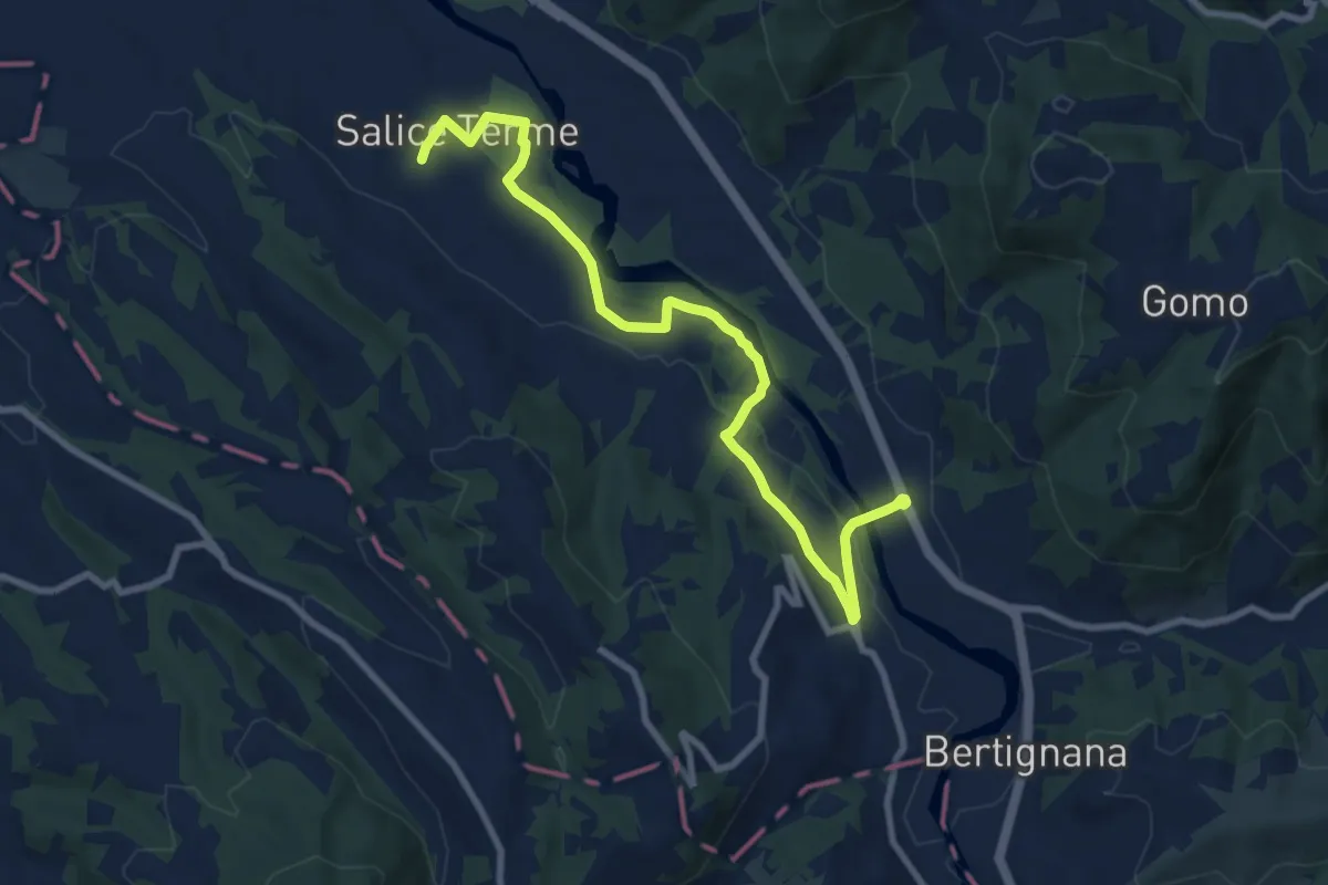
Medium · Trail
Godiasco – Salice Terme
10.2 km · ↑ 123 m · 2 h 41 min · 14 km away
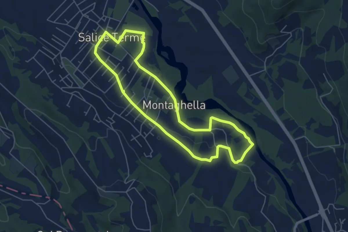
Easy · Trail
Anello di Salice Terme
5.2 km · ↑ 50 m · 1 h 24 min · 14 km away
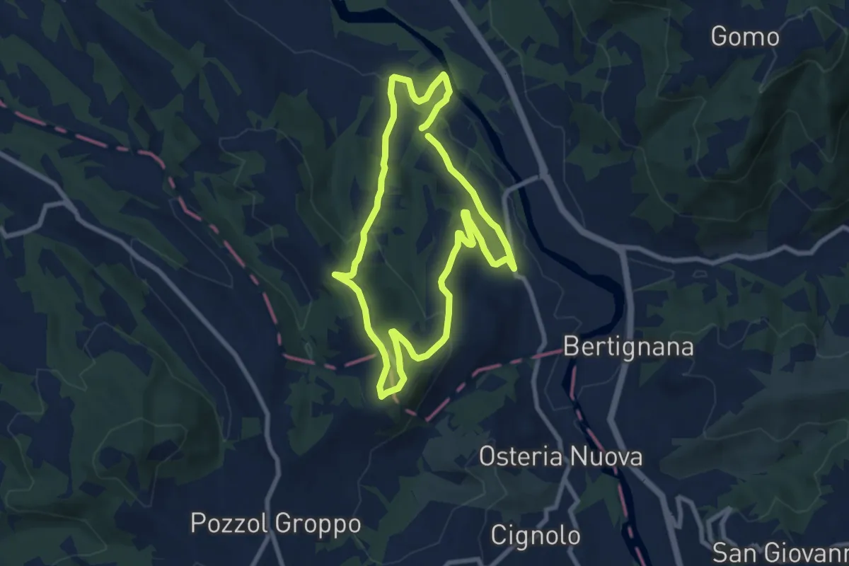
Easy · Trail
Anello della Collina
7.3 km · ↑ 202 m · 2 h 16 min · 14 km away
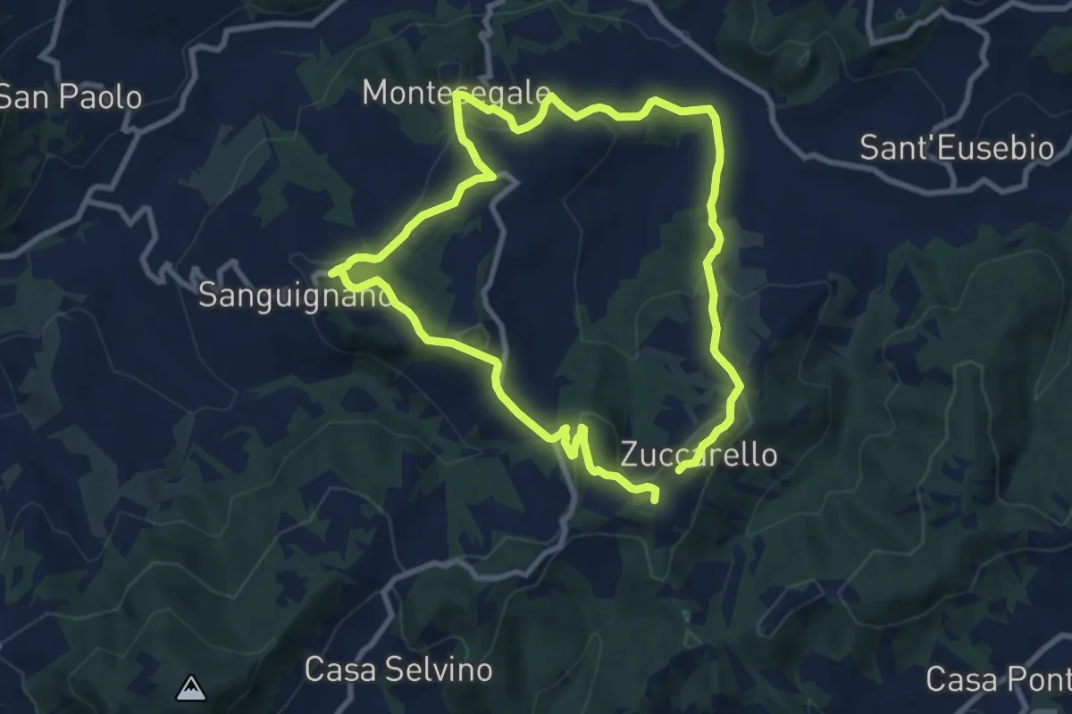
Medium · Summit
Anello Fornace Sud
8.2 km · ↑ 331 m · 2 h 46 min · 14 km away
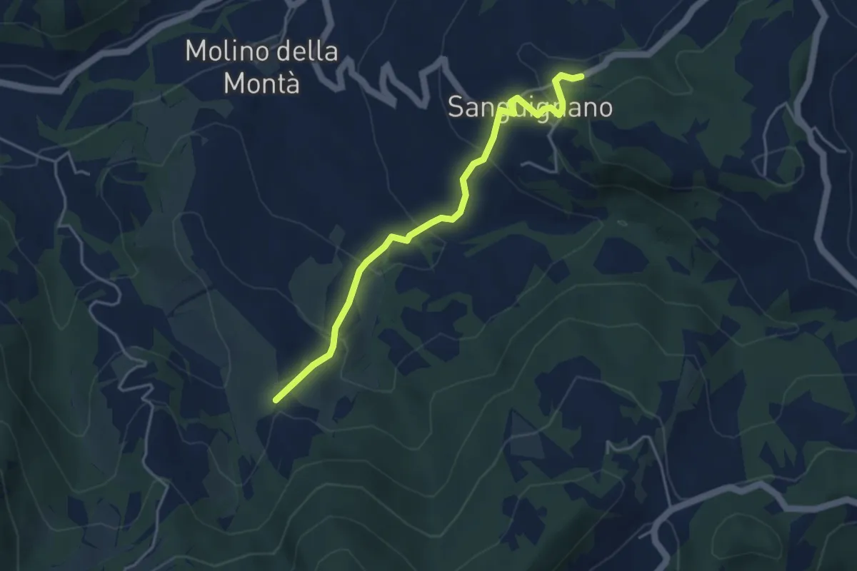
Easy · Trail
Sanguignano – Sentiero 172
4.2 km · ↑ 221 m · 1 h 28 min · 14 km away
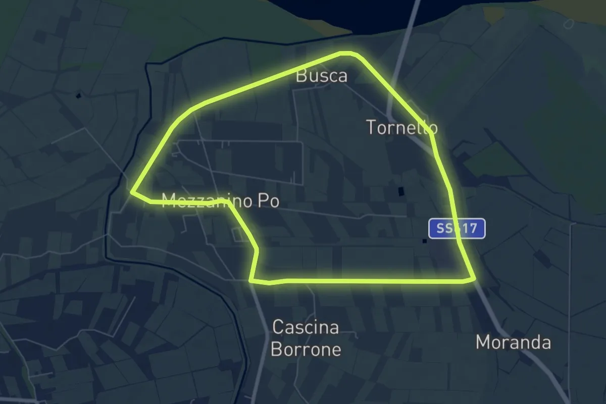
Easy · Trail
Anello di Mezzanino
7.6 km · ↑ 0 m · 1 h 54 min · 15 km away
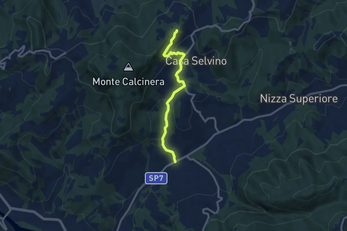
Easy · Trail
Casa Gallotti – Trebbiano Superiore
6.1 km · ↑ 243 m · 1 h 58 min · 15 km away
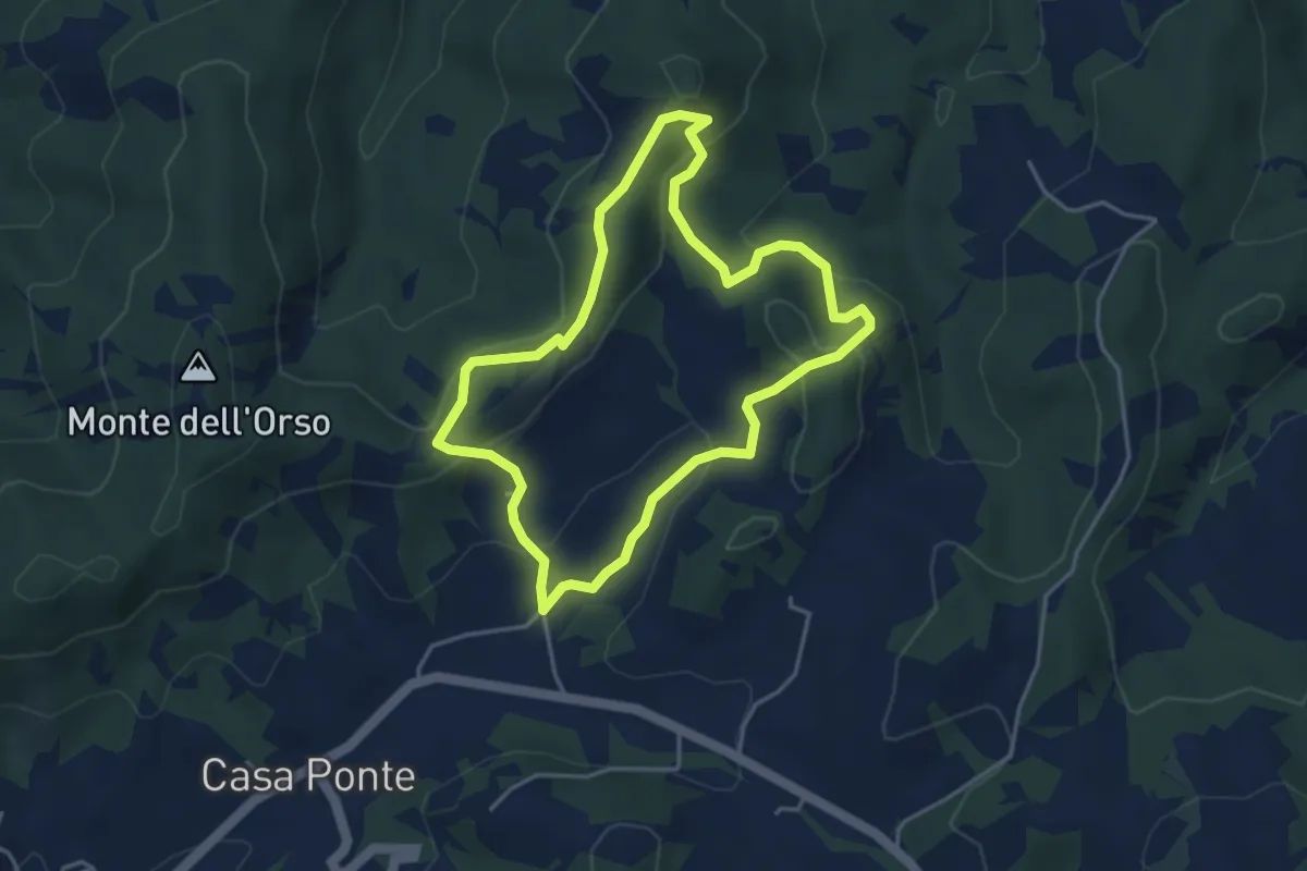
Medium · Summit
Anello di Cascina Serzego
4.0 km · ↑ 189 m · 1 h 24 min · 15 km away