Trails near Castel di Sangro
52 hikes starting within 15 km, nearest first.
Nearest first, page 1 of 2
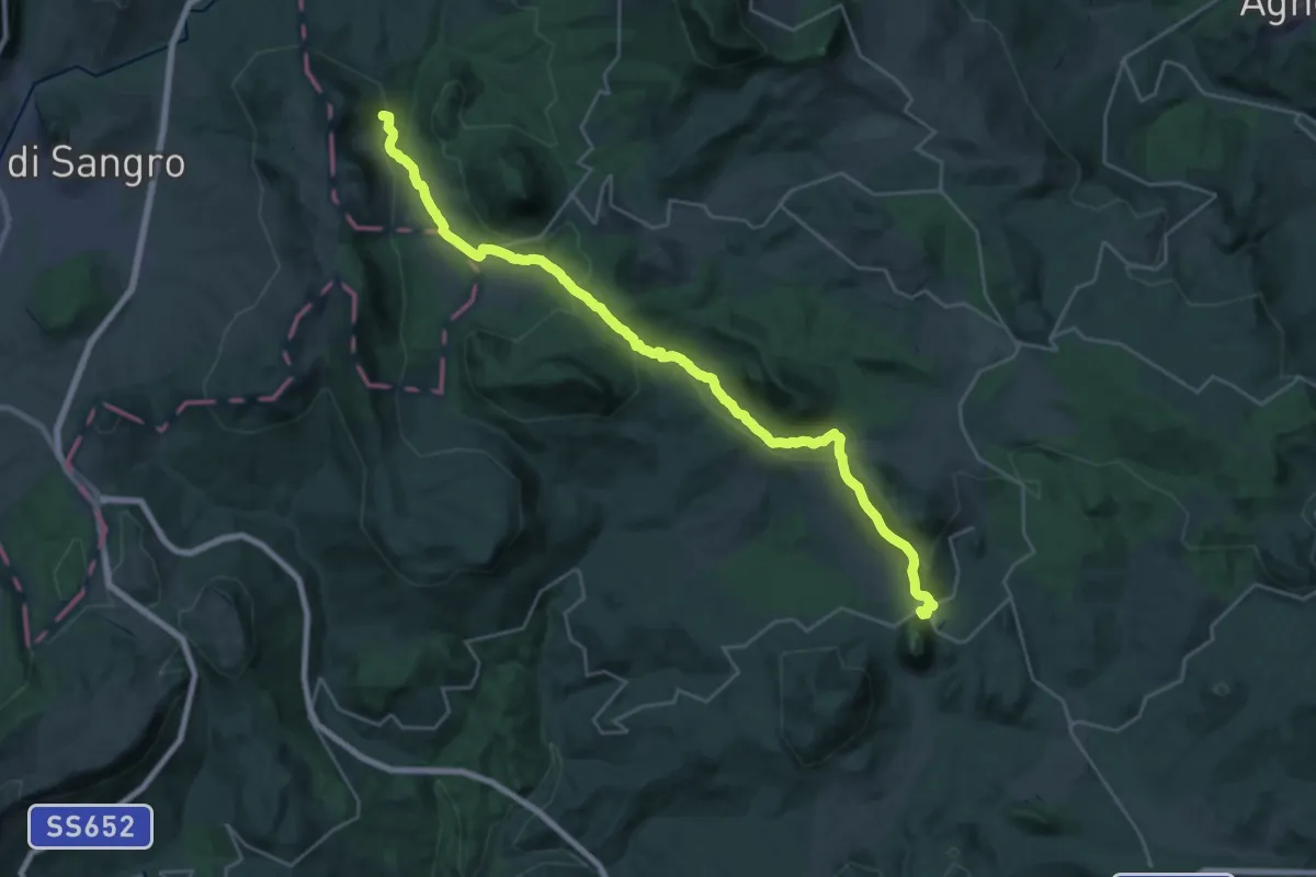
Medium · Trail
Carovilli – San Pietro Avellana
15.5 km · ↑ 314 m · 4 h 36 min · 6 km away
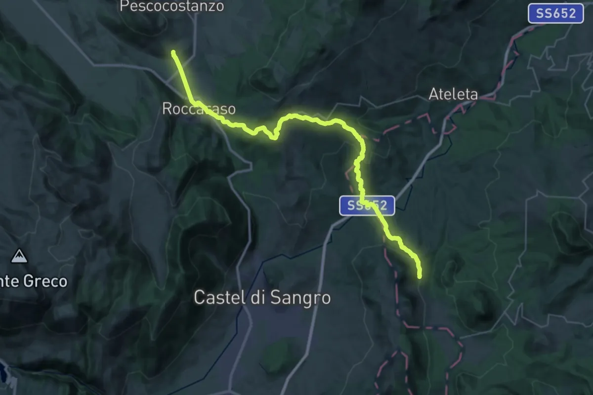
Medium · Trail
San Pietro Avellana – Rivisondoli
18.0 km · ↑ 731 m · 5 h 55 min · 6 km away
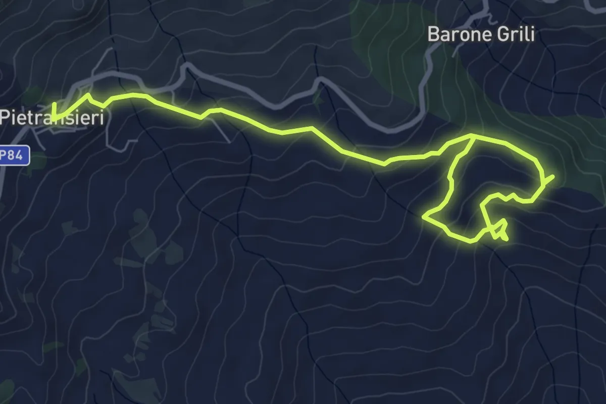
Medium · Trail
Pietransieri – Colle della Liscia (Bosco dei Limmari)
8.8 km · ↑ 415 m · 2 h 59 min · 7 km away
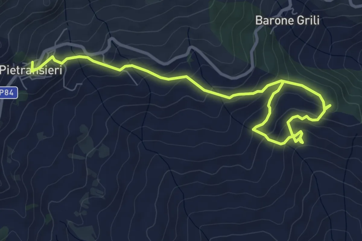
Medium · Trail
Sentiero della Pace
8.8 km · ↑ 415 m · 2 h 59 min · 7 km away
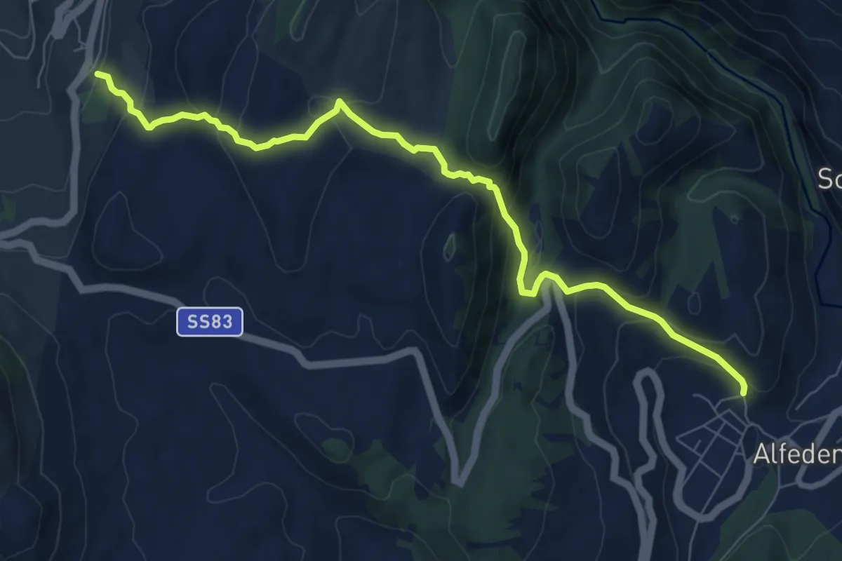
Medium · Trail
Barrea – Alfedena
8.9 km · ↑ 458 m · 3 h 6 min · 8 km away
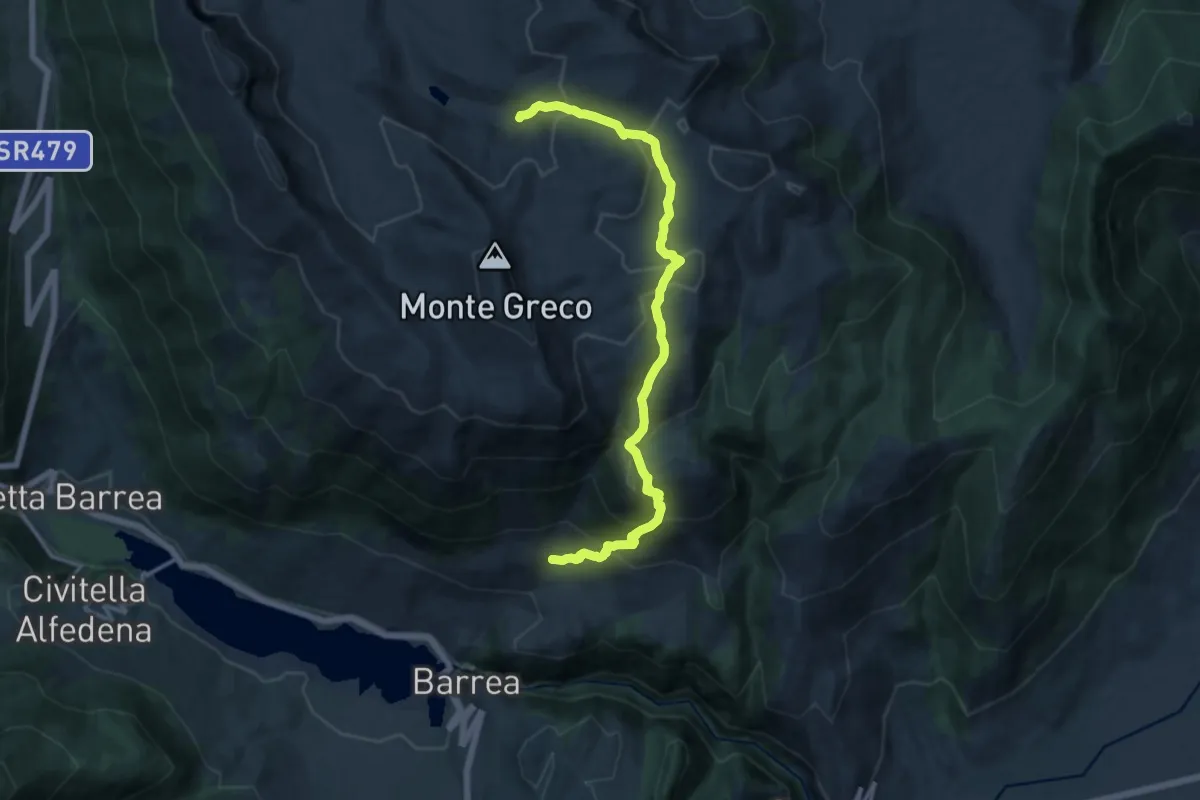
Demanding · Trail
Fonte Peschio di Creta – Lago Pantaniello
15.4 km · ↑ 996 m · 5 h 48 min · 9 km away
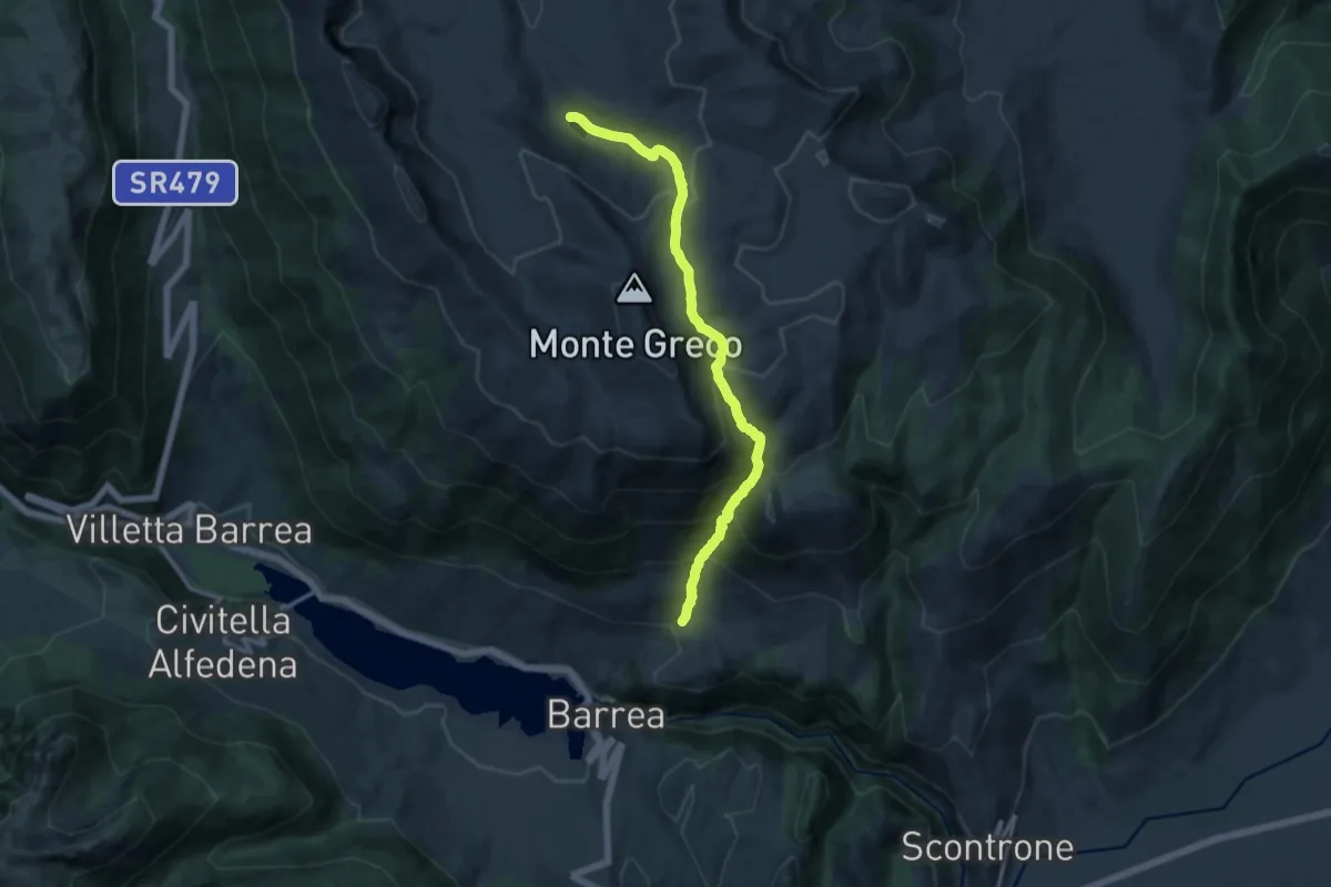
Demanding · Trail
Valle Ianara – Lago Pantaniello
13.9 km · ↑ 1129 m · 5 h 43 min · 9 km away
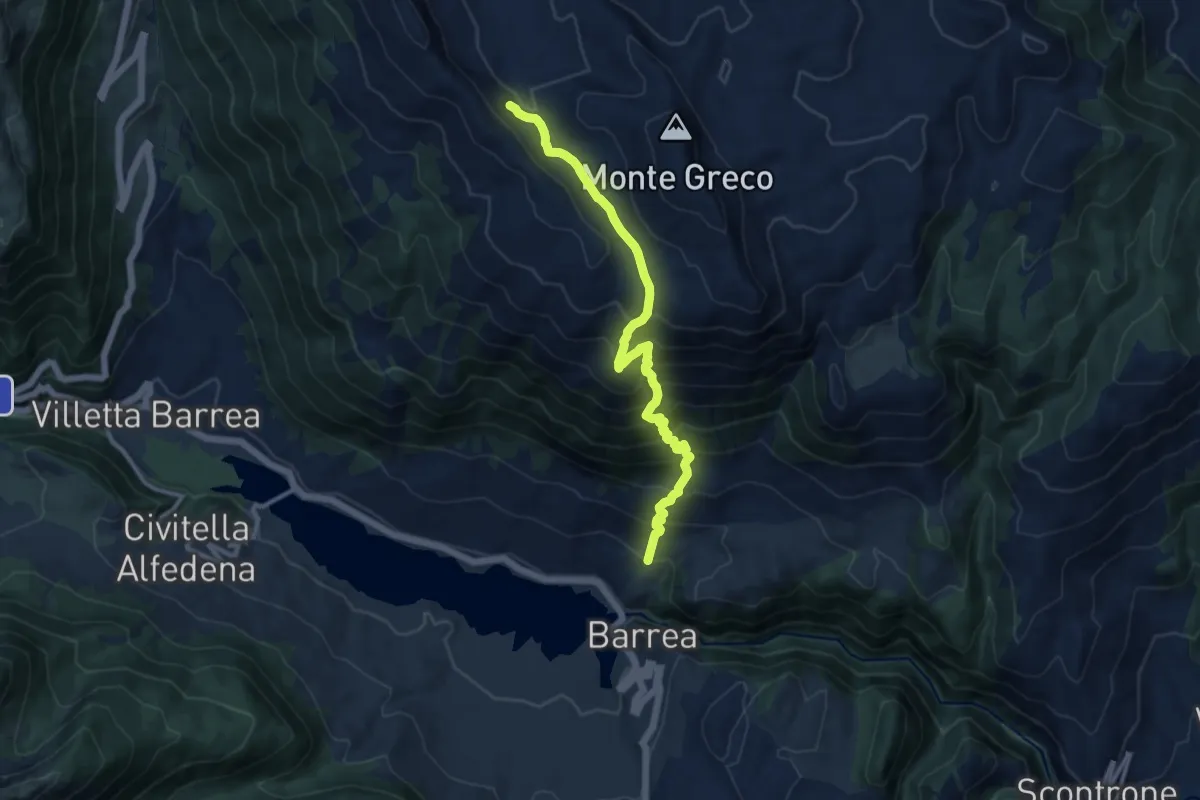
Demanding · Trail
Fonte Canarelle – Rocca Chiarano
12.0 km · ↑ 1023 m · 5 h 3 min · 10 km away
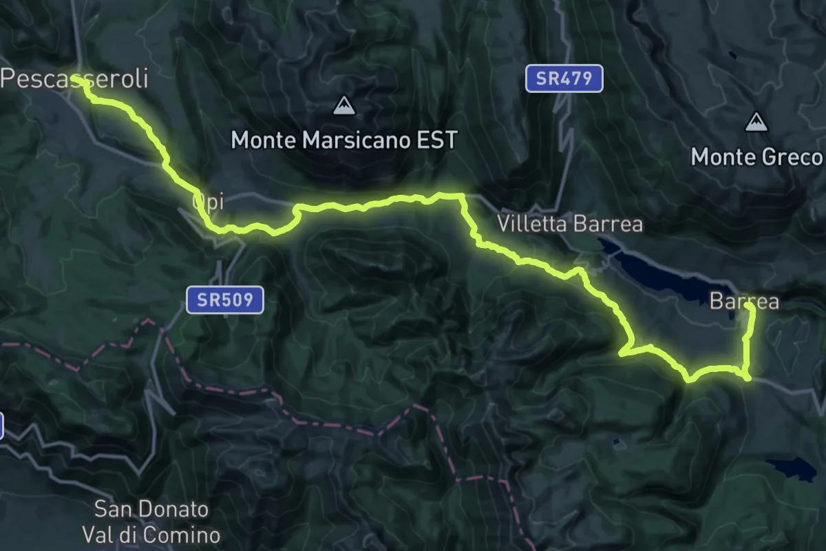
Demanding · Trail
Barrea – Pescasseroli
26.1 km · ↑ 757 m · 8 h 7 min · 10 km away
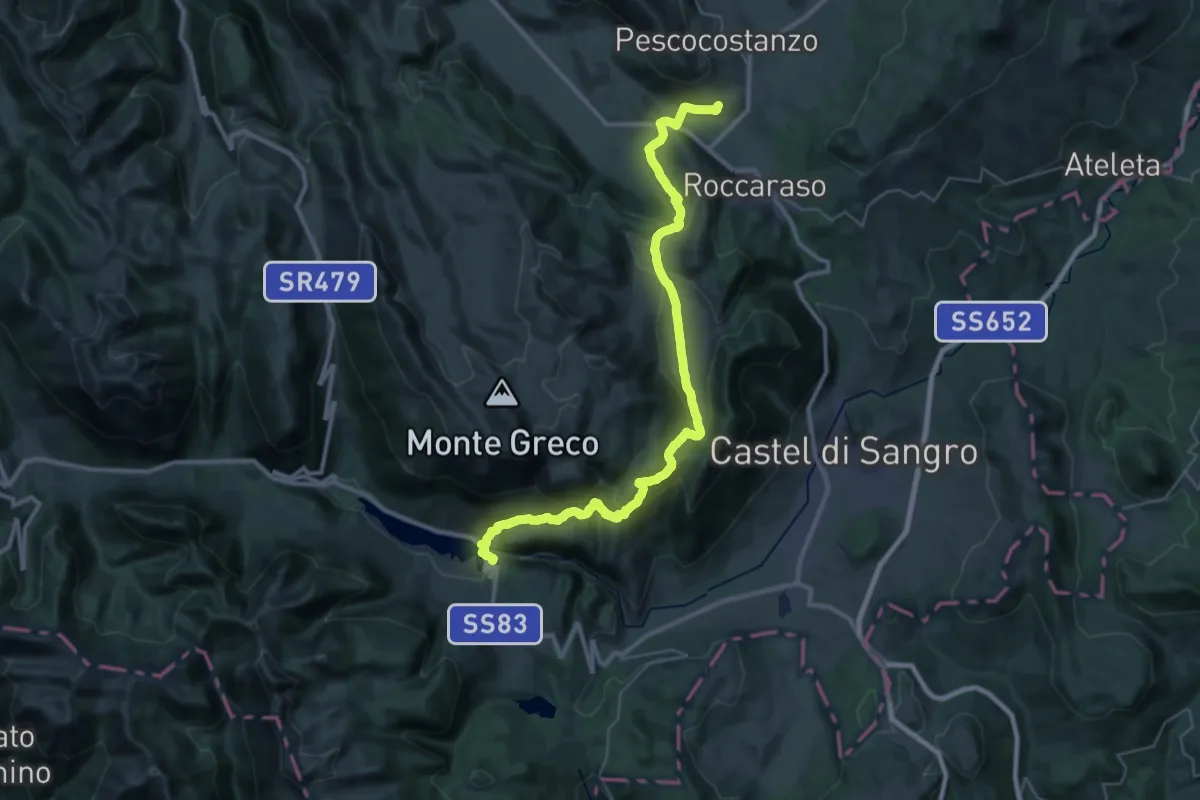
Demanding · Trail
Rivisondoli – Barrea
21.7 km · ↑ 765 m · 7 h 12 min · 10 km away
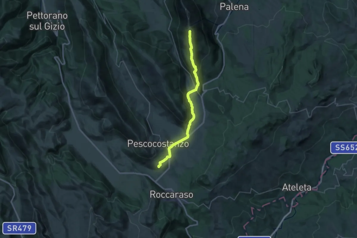
Demanding · Summit
Rivisondoli – Campo di Giove
26.7 km · ↑ 1154 m · 8 h 48 min · 10 km away
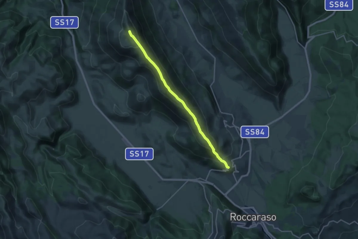
Demanding · Summit
Rivisondoli – Rocca Pia
15.6 km · ↑ 946 m · 5 h 44 min · 10 km away
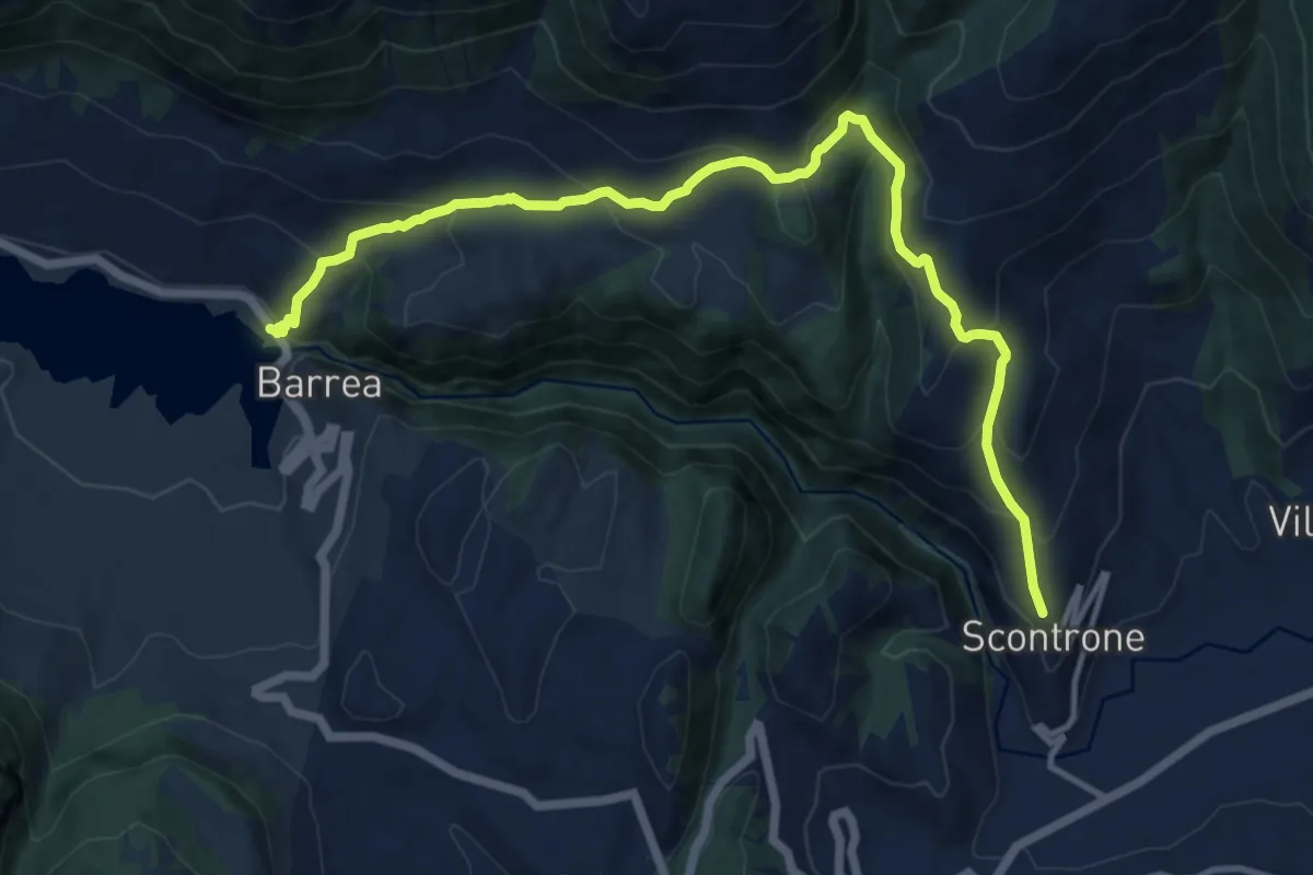
Demanding · Trail
Barrea – Scontrone
14.6 km · ↑ 910 m · 5 h 25 min · 10 km away
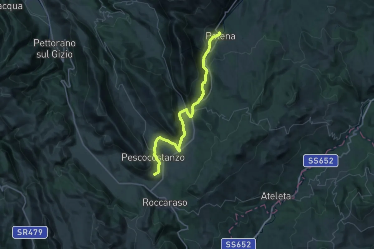
Demanding · Trail
Il Cammino d'Abruzzo: Tappa 29
20.6 km · ↑ 363 m · 6 h 14 min · 10 km away
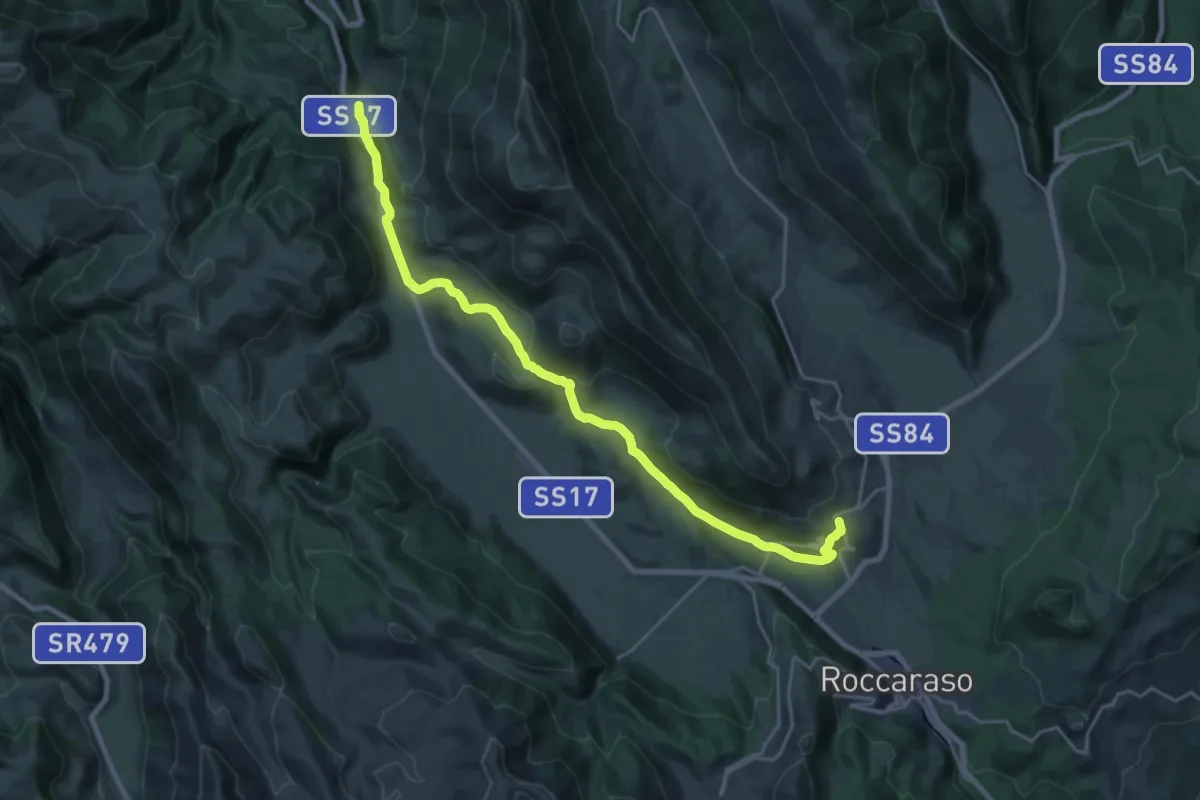
Demanding · Trail
Il Cammino d'Abruzzo: Tappa 28B
25.1 km · ↑ 592 m · 7 h 13 min · 10 km away
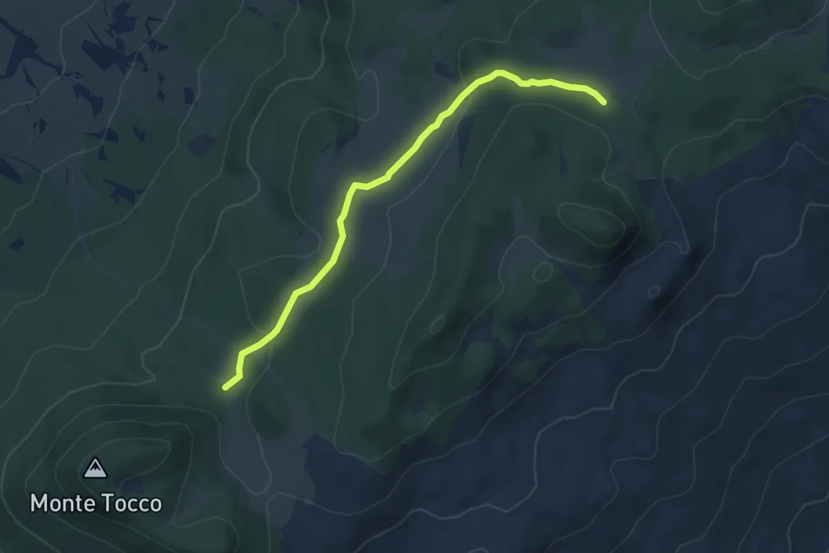
Easy · Trail
Sentiero N1 – Sentiero N2
5.3 km · ↑ 121 m · 1 h 31 min · 11 km away
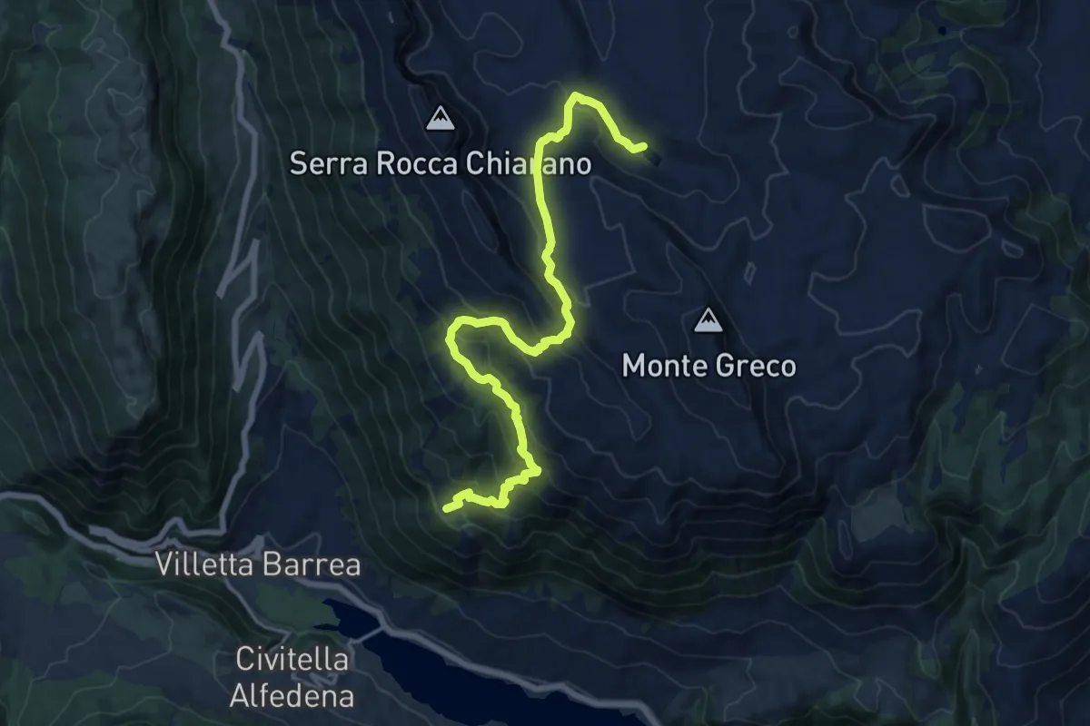
Expert · Summit
Villetta Barrea – Lago Pantaniello
17.4 km · ↑ 1094 m · 6 h 29 min · 11 km away
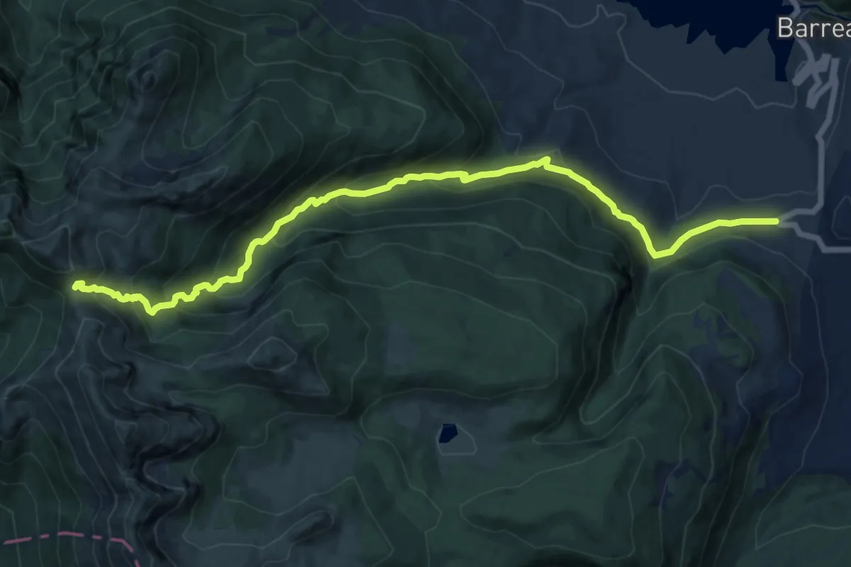
Demanding · Cabin
Sorgente Sambuco – Rifugio Forca Resuni
15.2 km · ↑ 885 m · 5 h 30 min · 11 km away
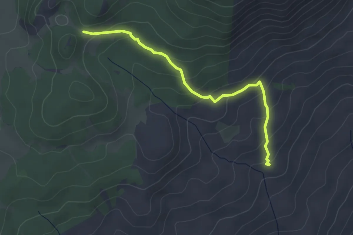
Easy · Trail
Area Picnic Colle dellaCastagna – Sentiero N4
4.0 km · ↑ 197 m · 1 h 23 min · 11 km away
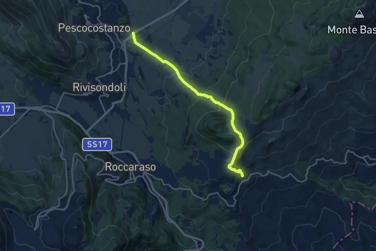
Medium · Trail
Quarto del Barone – Pietransieri
12.7 km · ↑ 489 m · 4 h 3 min · 11 km away
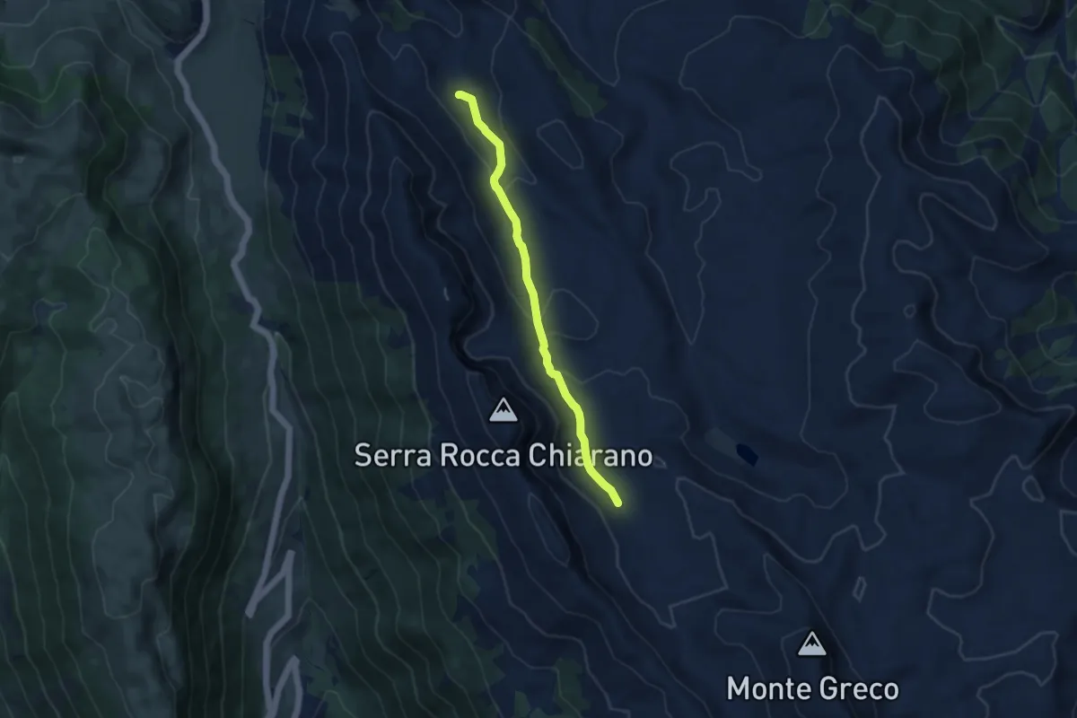
Medium · Trail
Stazzo del Prato – Stazzo Mantrucce
8.3 km · ↑ 268 m · 2 h 33 min · 12 km away
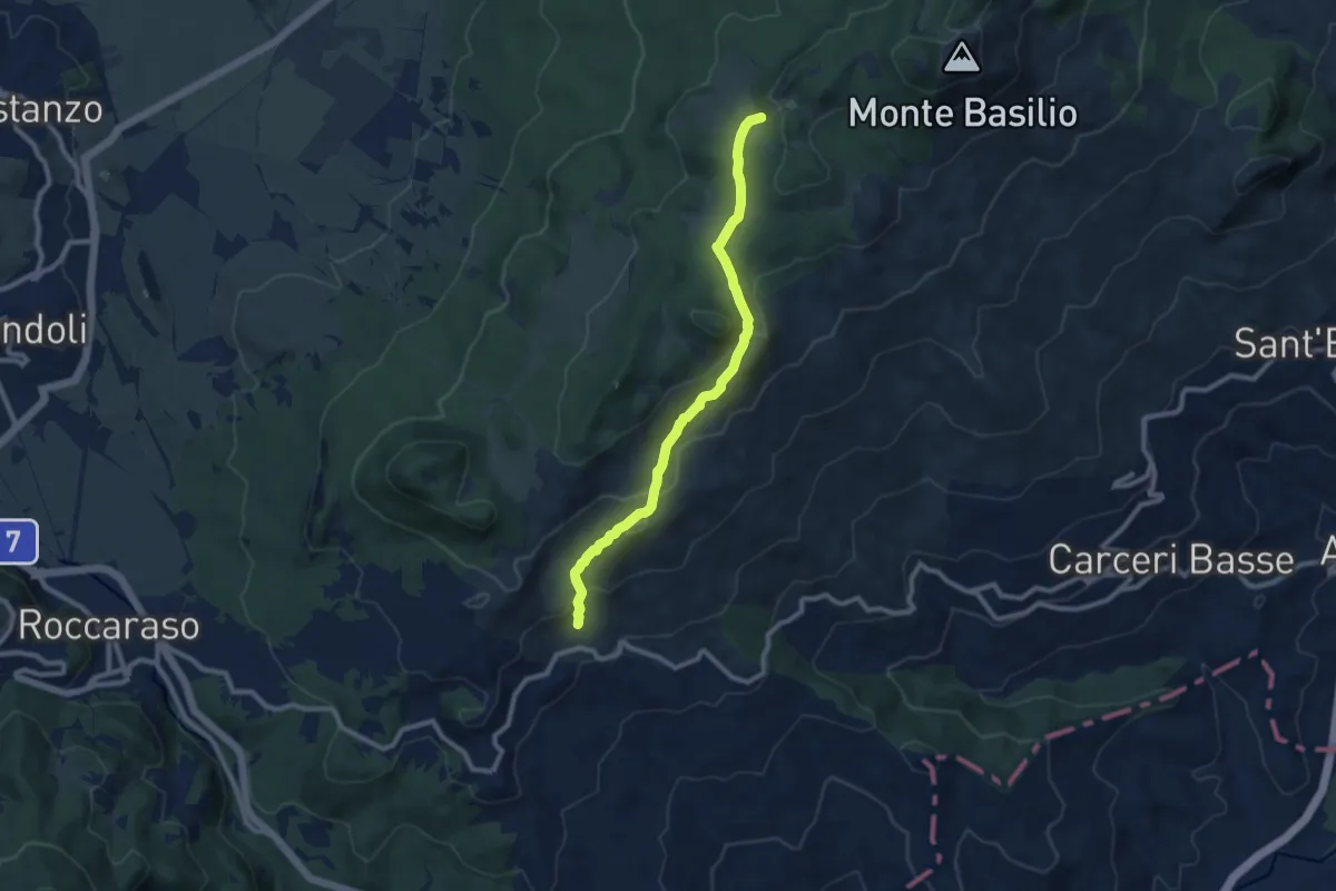
Medium · Trail
Pietransieri – Fonte Cernaia
9.5 km · ↑ 366 m · 3 h 3 min · 12 km away
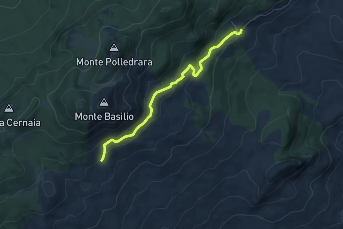
Easy · Trail
Area Faunistica del Cervo – Sentiero M2
6.1 km · ↑ 246 m · 1 h 58 min · 12 km away
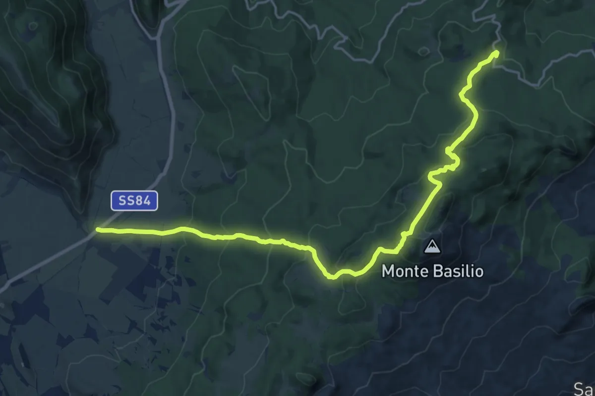
Demanding · Trail
Pizzo di Coda – Val di Terra
19.7 km · ↑ 928 m · 6 h 40 min · 12 km away
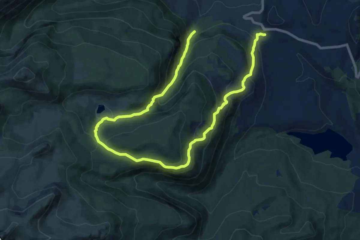
Demanding · Trail
Valico di Barrea – Sorgente delle Donne
17.9 km · ↑ 1144 m · 6 h 42 min · 12 km away
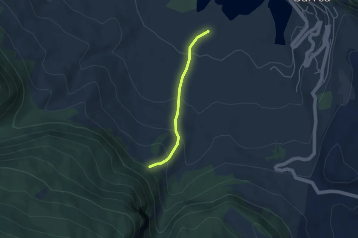
Easy · Trail
Convento dei Monaci – Sorgente delle Donne
3.2 km · ↑ 209 m · 1 h 12 min · 12 km away
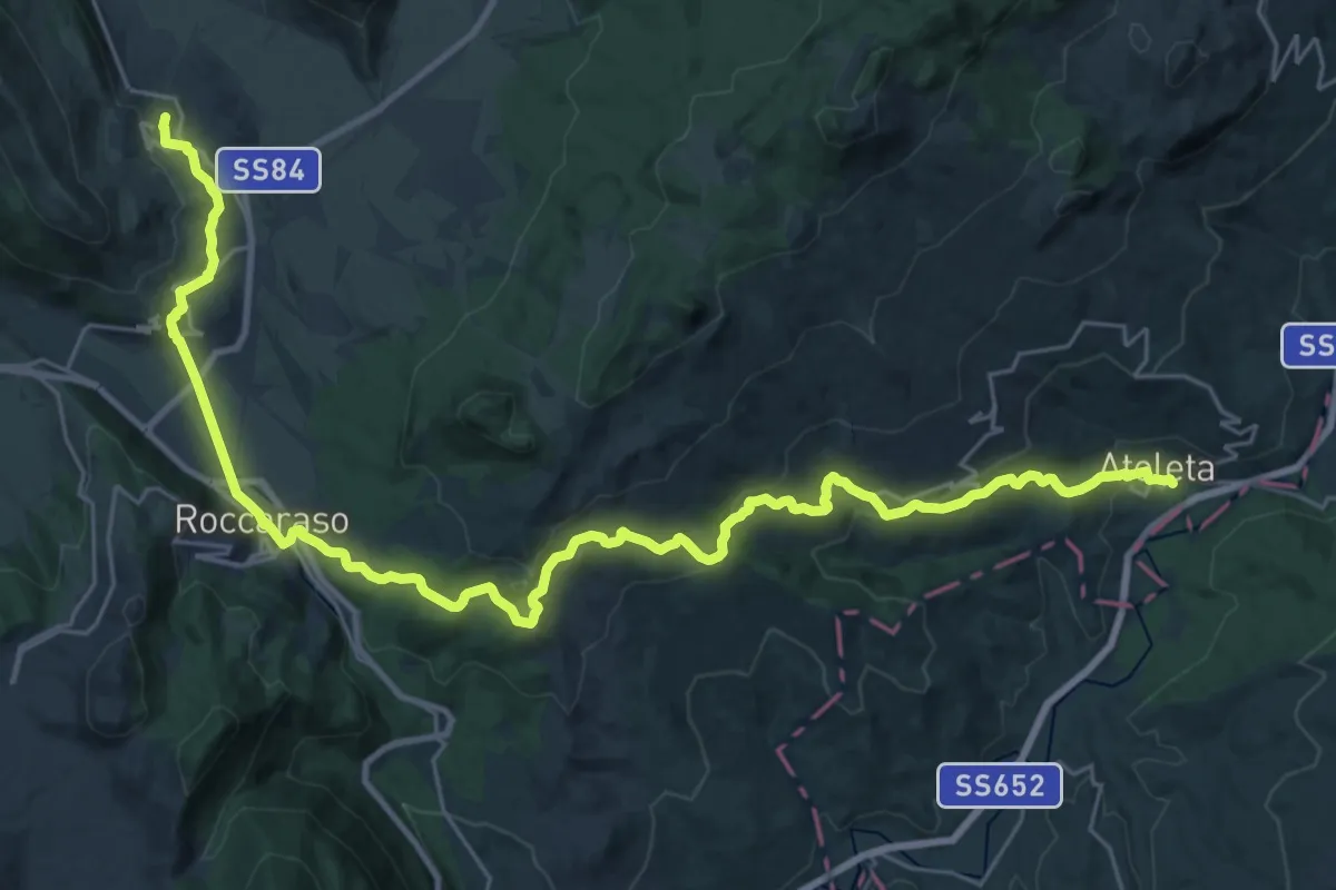
Demanding · Trail
Con le ali ai piedi - 13
18.9 km · ↑ 183 m · 5 h 26 min · 12 km away
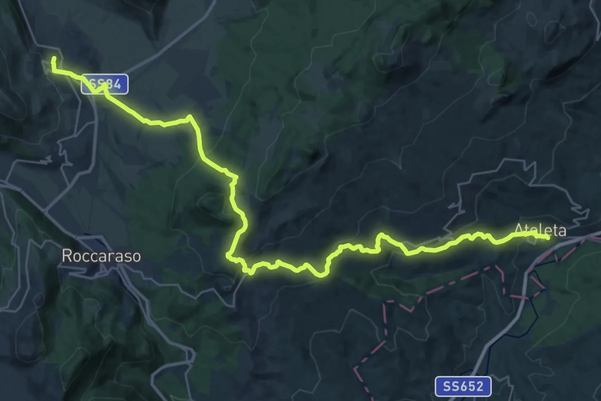
Medium · Trail
Con le ali ai piedi - 13 var
17.5 km · ↑ 327 m · 5 h 23 min · 12 km away
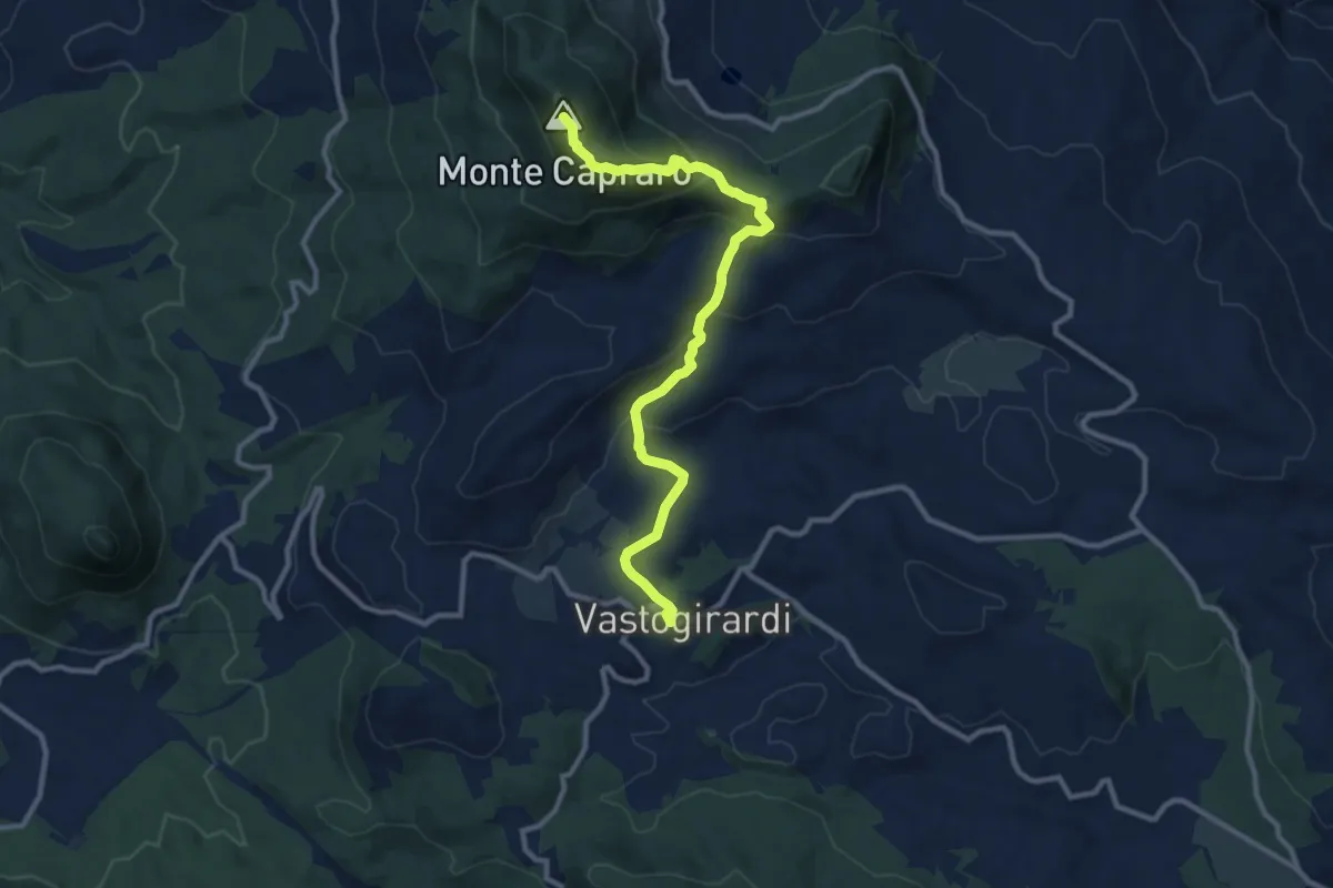
Medium · Summit
Sentiero Trekking Italia - Tappa 5
11.7 km · ↑ 591 m · 4 h 2 min · 13 km away
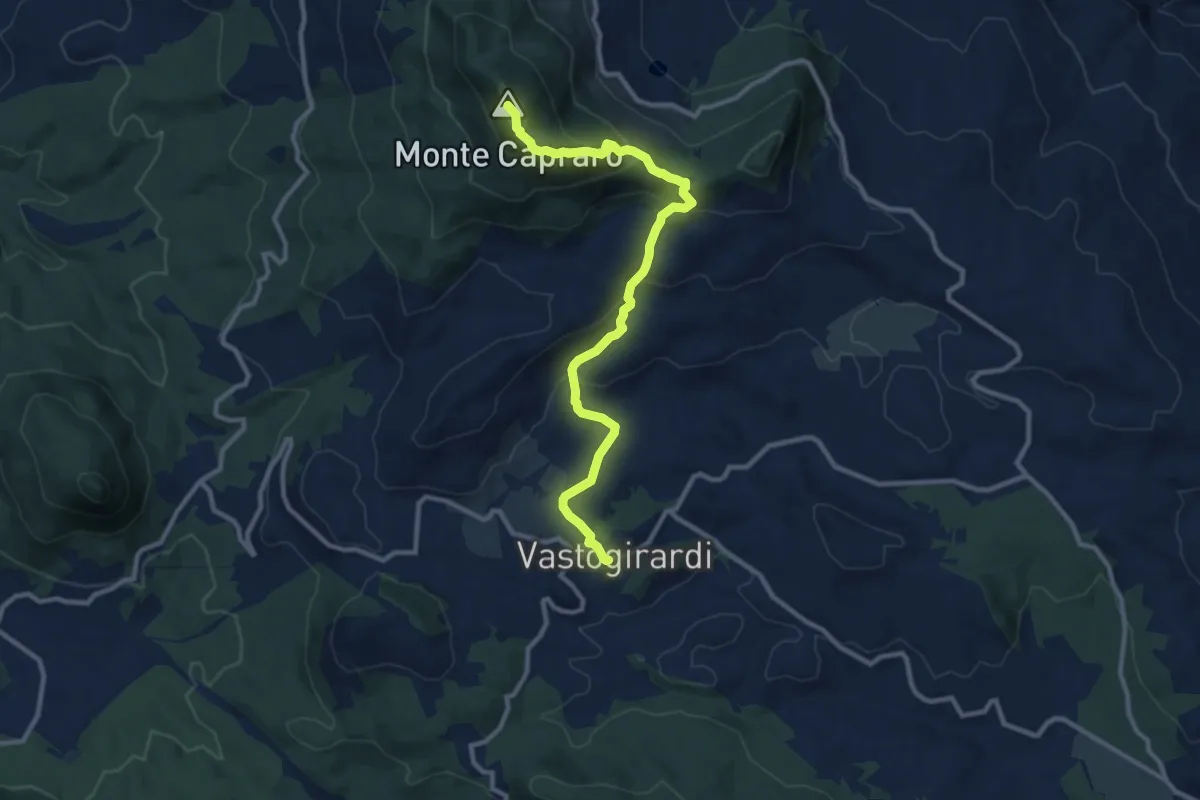
Medium · Summit
Vastogirardi – Capracotta
11.6 km · ↑ 583 m · 4 h 1 min · 13 km away
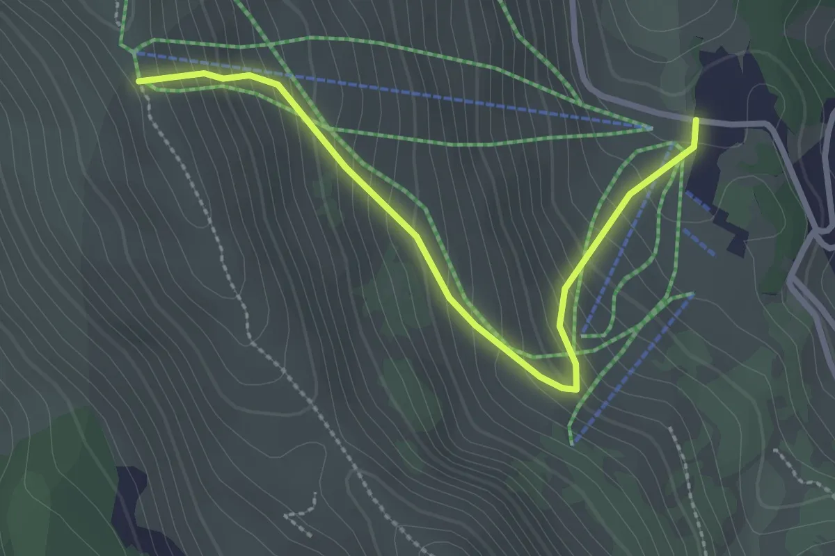
Medium · Trail
Pescocostanzo – Sentiero T1
3.0 km · ↑ 286 m · 1 h 20 min · 13 km away
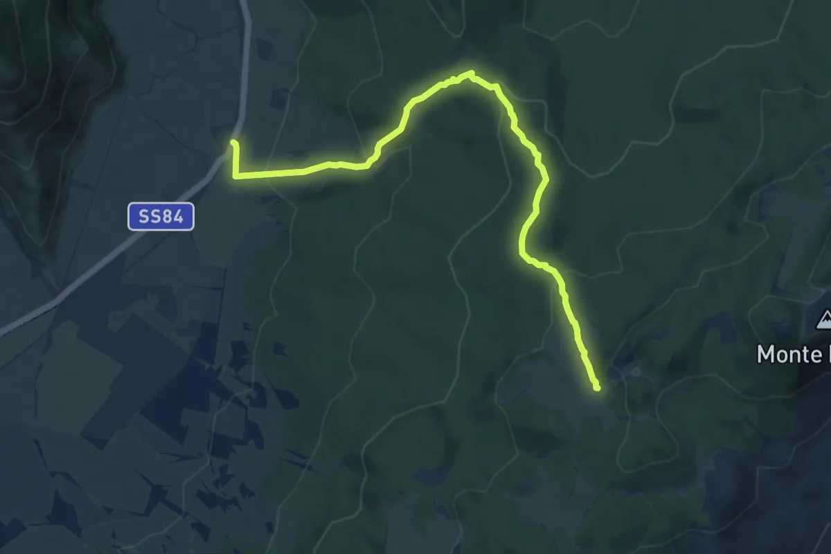
Medium · Trail
Colle Fauni – Fonte Cernaia
9.8 km · ↑ 411 m · 3 h 13 min · 13 km away
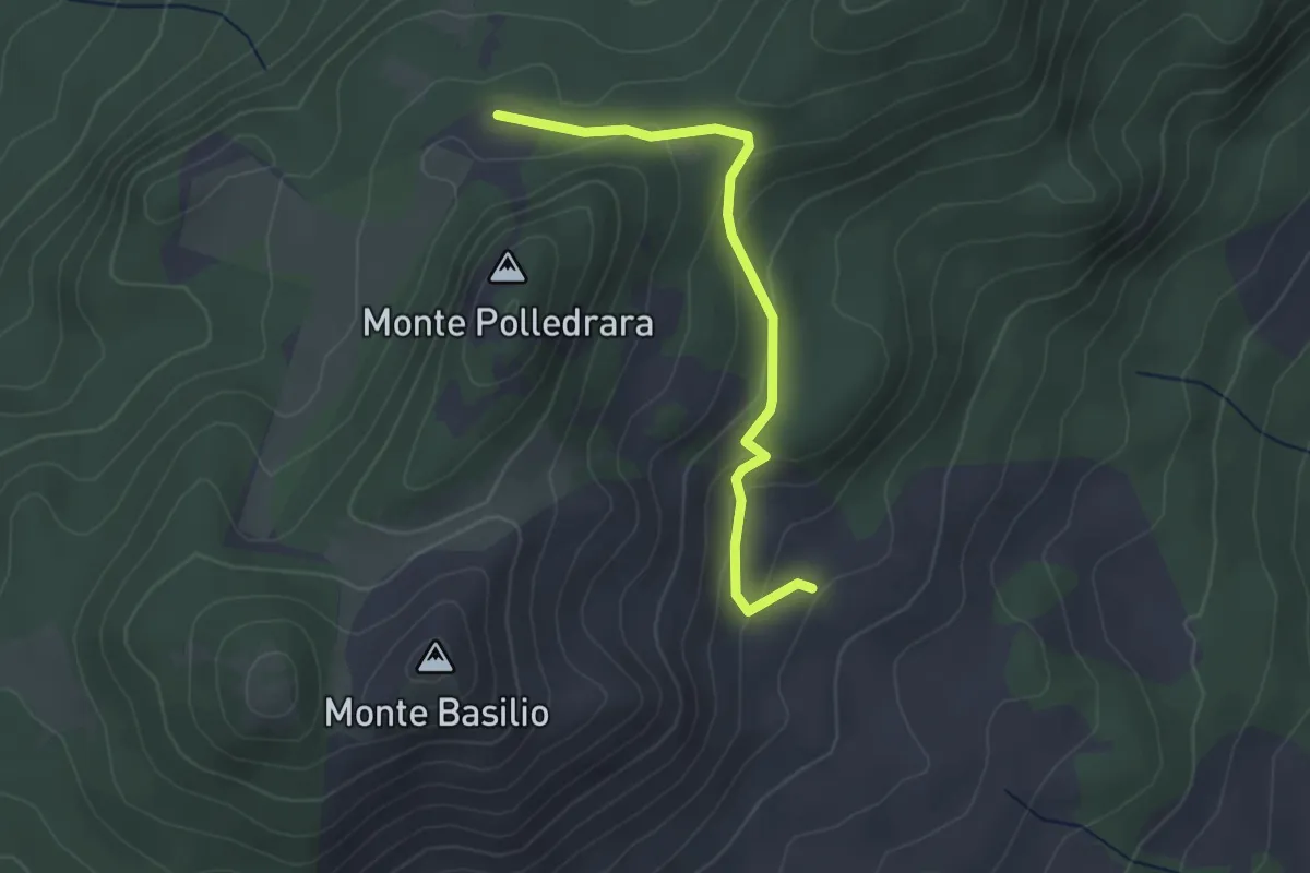
Easy · Trail
Fonte Basilio – Sentiero N4
3.1 km · ↑ 142 m · 1 h 2 min · 13 km away
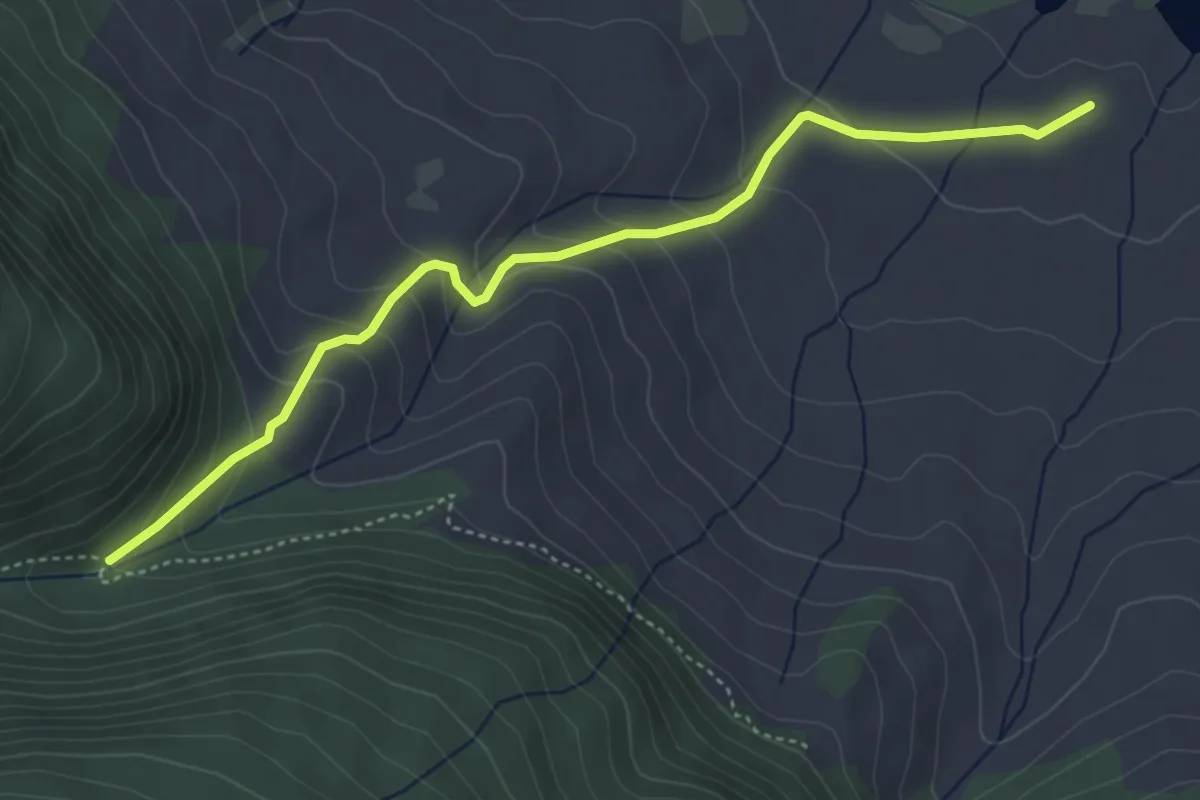
Medium · Trail
Convento dei Monaci – Valle Iannanghera
5.0 km · ↑ 281 m · 1 h 48 min · 13 km away
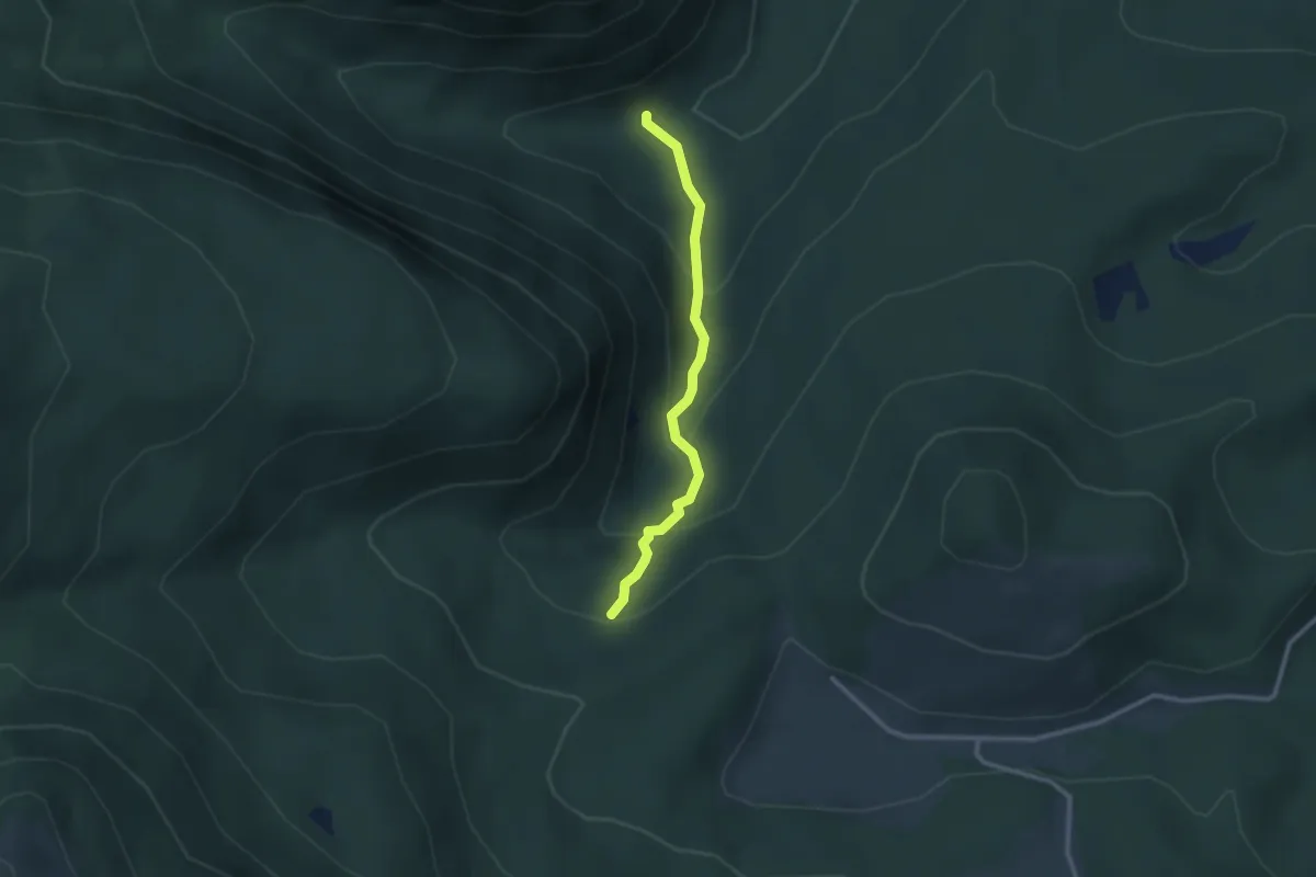
Easy · Trail
Rifugio Campitelli – Rio Torto
2.6 km · ↑ 214 m · 1 h 5 min · 14 km away
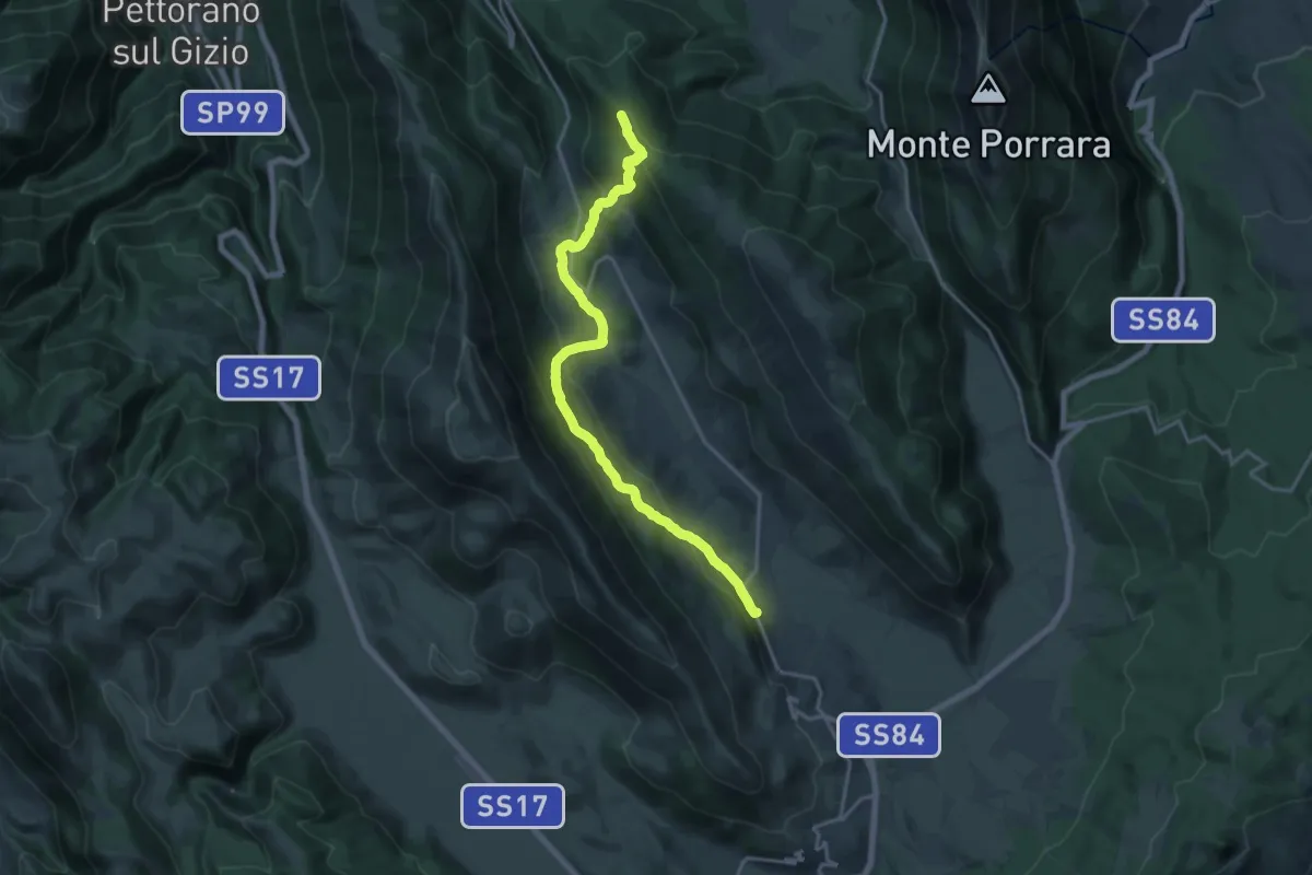
Demanding · Summit
Pescocostanzo – Piano Cerreto
19.8 km · ↑ 820 m · 6 h 27 min · 14 km away
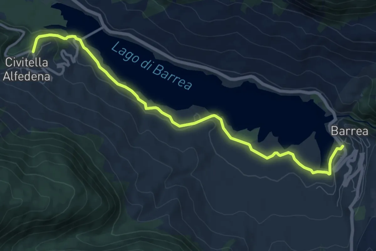
Medium · Trail
Civitella Alfedena – Barrea
10.3 km · ↑ 259 m · 3 h · 14 km away
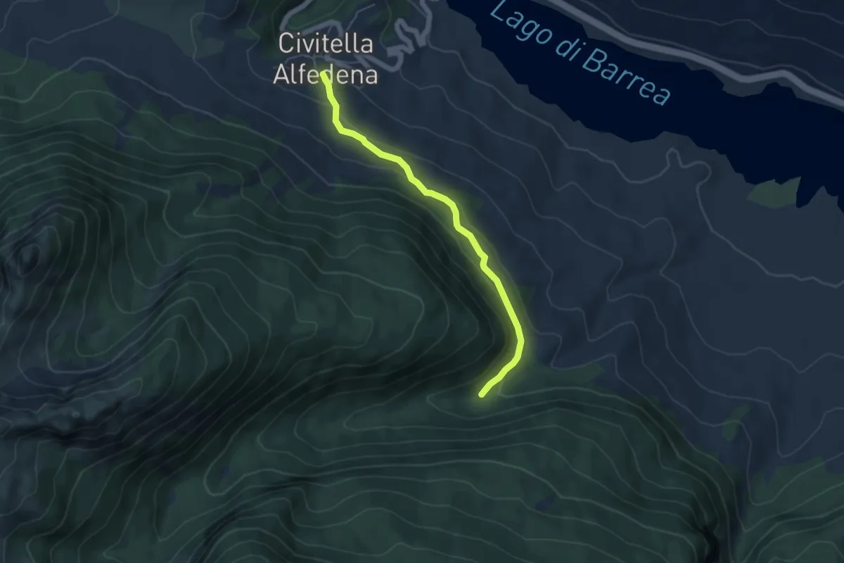
Easy · Trail
Civitella Alfedena – Sorgente Iannanghera
5.2 km · ↑ 165 m · 1 h 35 min · 14 km away
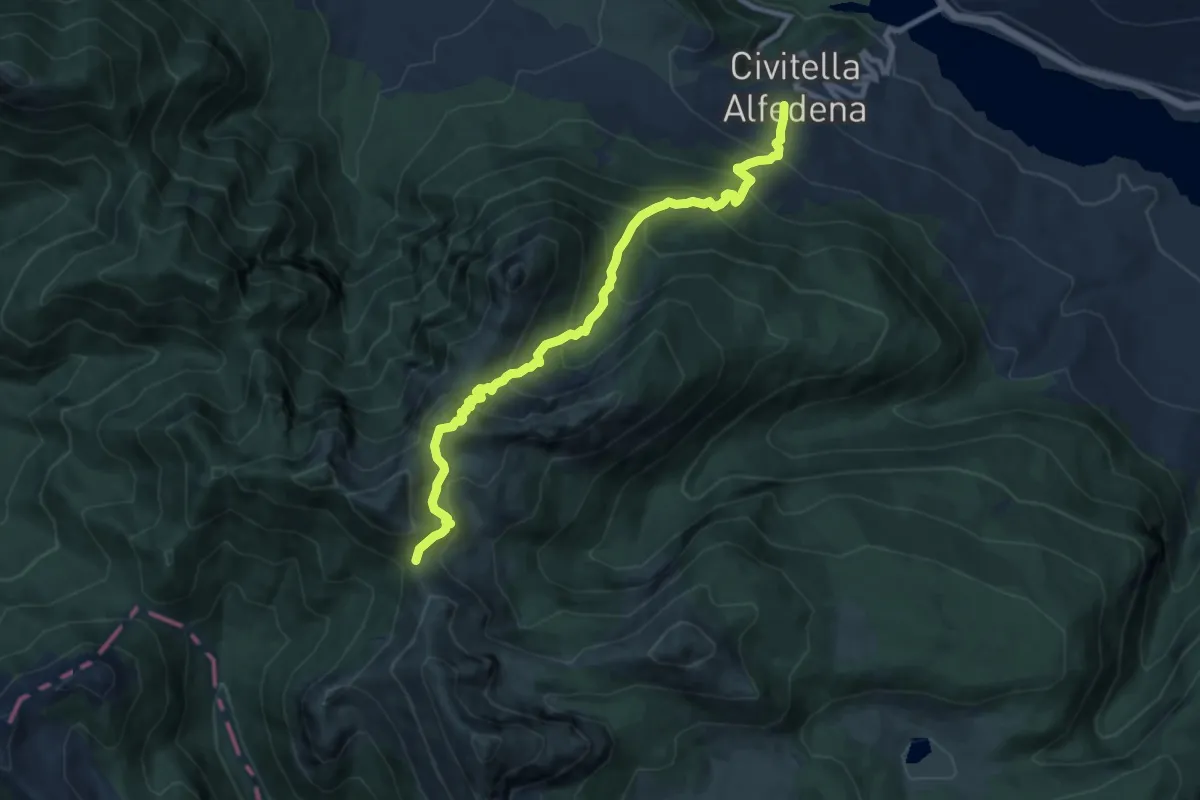
Demanding · Cabin
Civitella Alfedena – Rifugio Forca Resuni
10.1 km · ↑ 1005 m · 4 h 34 min · 14 km away
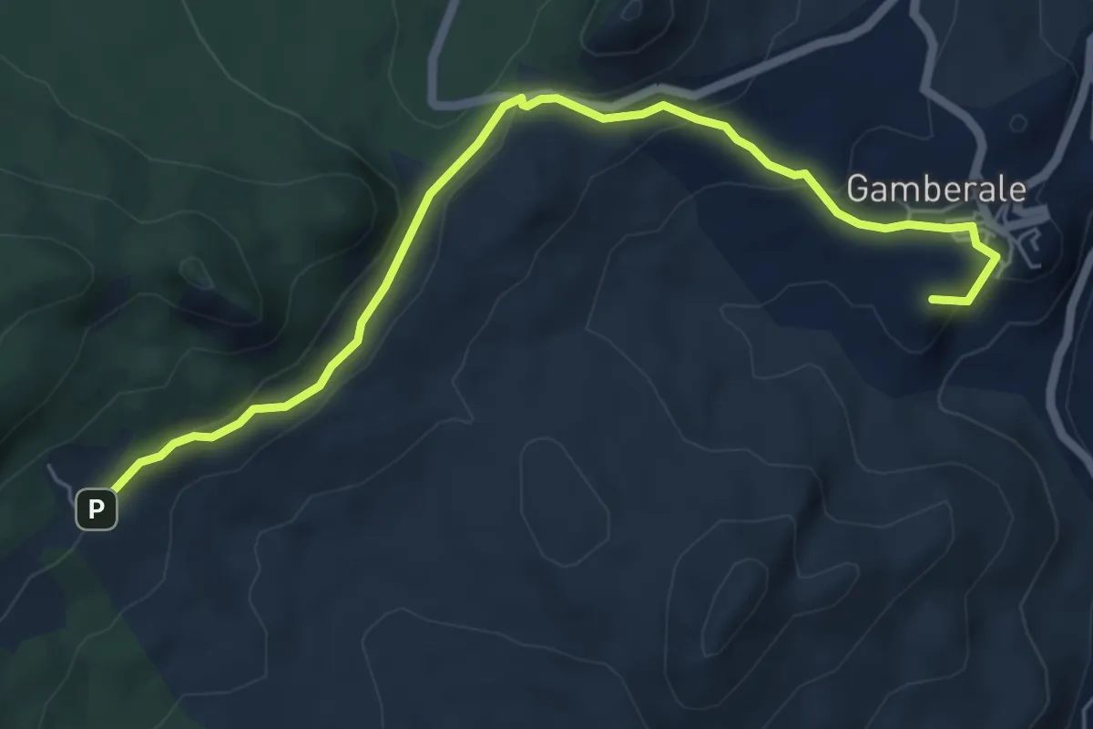
Easy · Summit
Stazione di Gamberale – Area faunistica del cervo
6.9 km · ↑ 280 m · 2 h 14 min · 14 km away
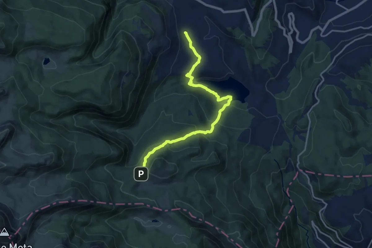
Medium · Trail
Valico di Barrea – Campitelli
12.7 km · ↑ 546 m · 4 h 11 min · 14 km away
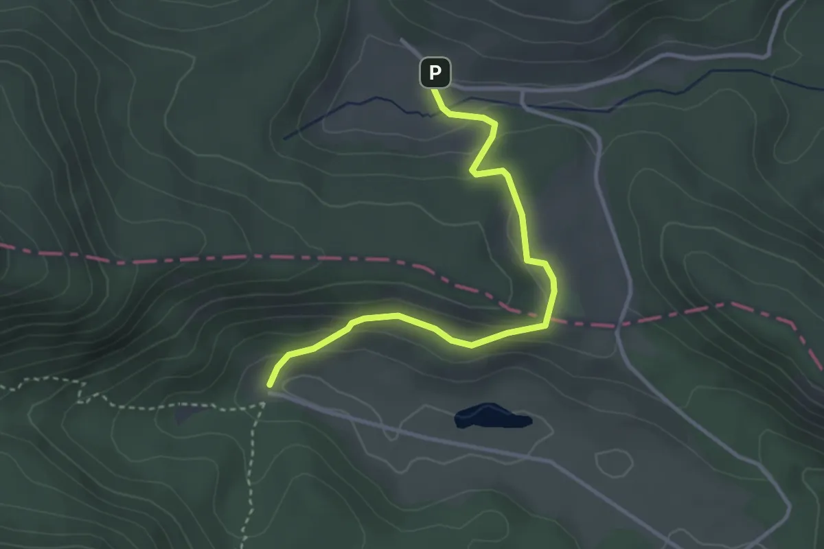
Easy · Trail
Campitelli – Le Forme
3.6 km · ↑ 142 m · 1 h 9 min · 14 km away
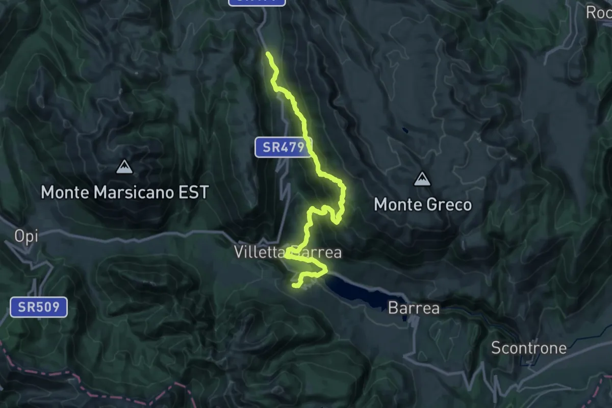
Demanding · Cabin
Via dei Lupi - Tappa 13V
15.2 km · ↑ 1060 m · 5 h 53 min · 14 km away
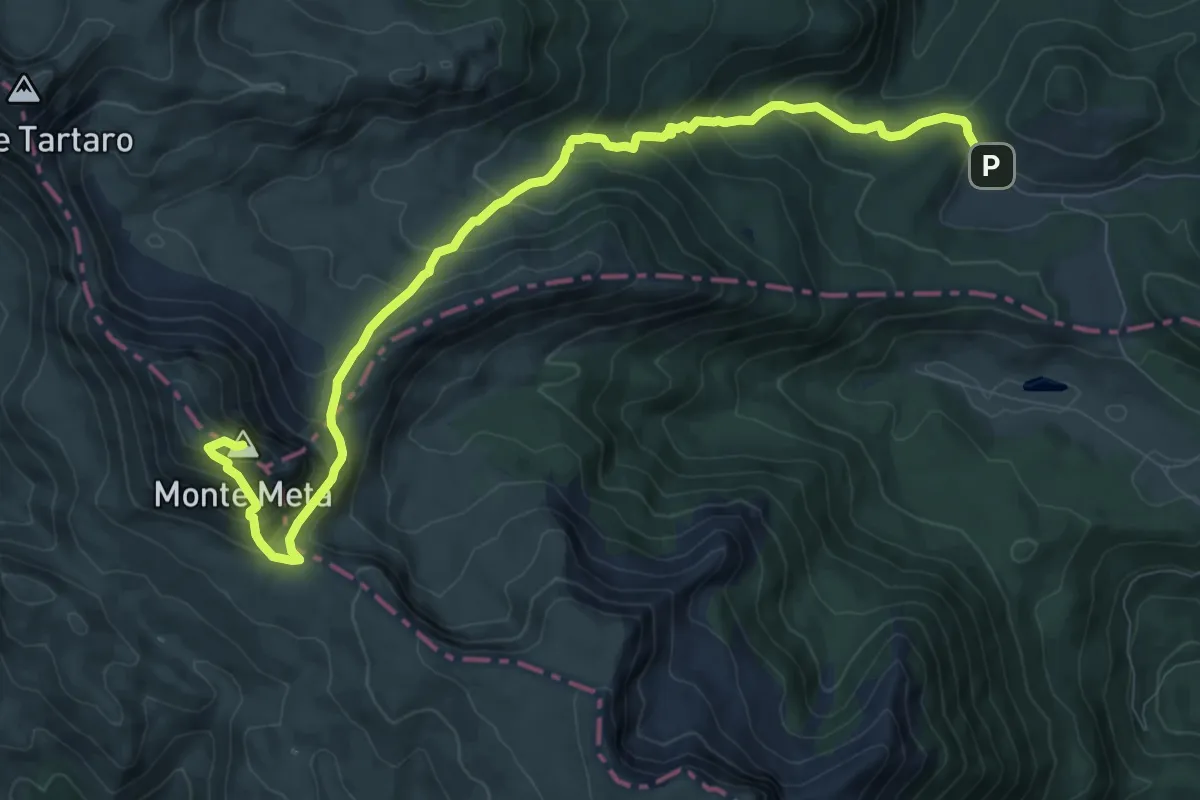
Demanding · Summit
Campitelli – Monte La Meta
11.7 km · ↑ 873 m · 4 h 39 min · 14 km away
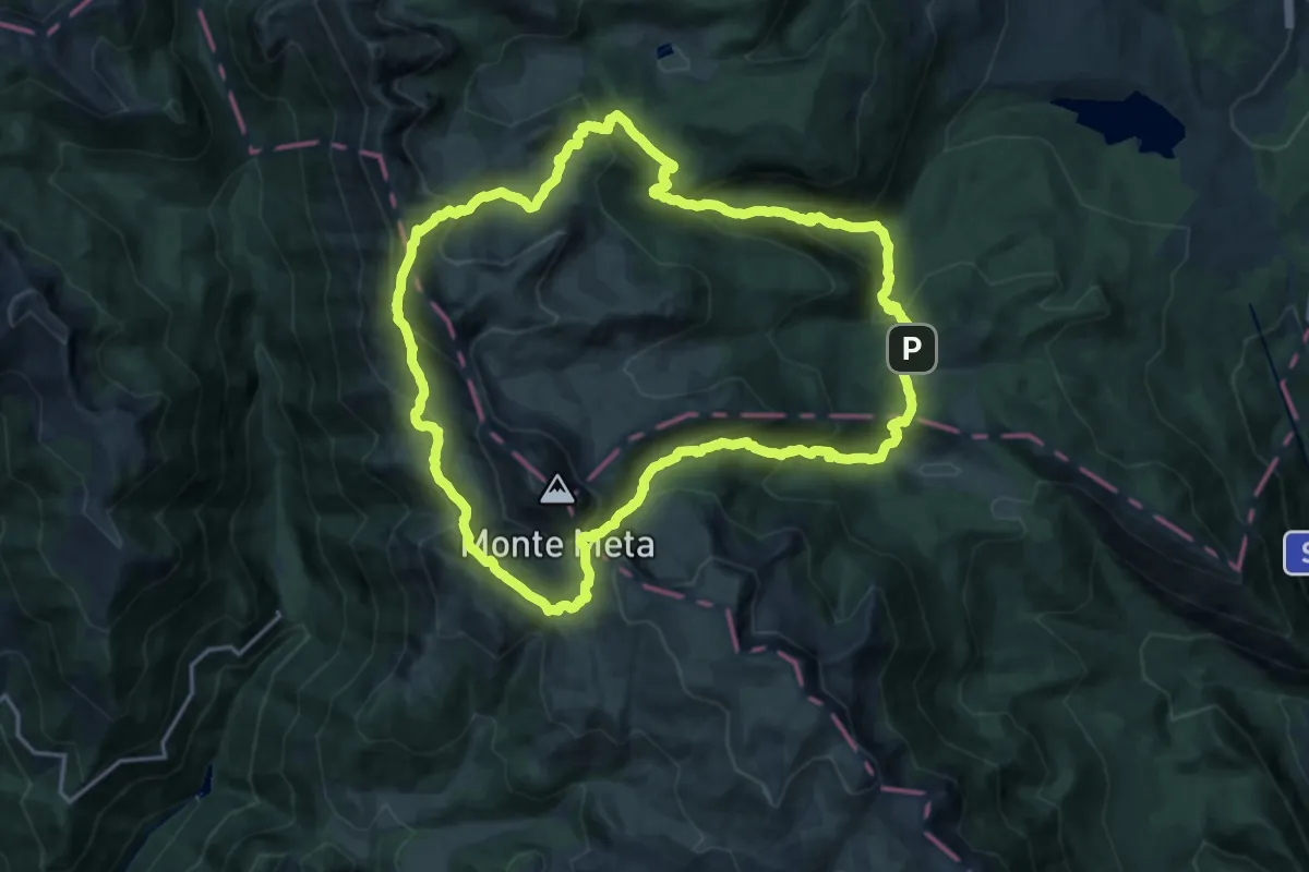
Demanding · Trail
Anello del Monte Meta
18.4 km · ↑ 1282 m · 7 h 22 min · 14 km away
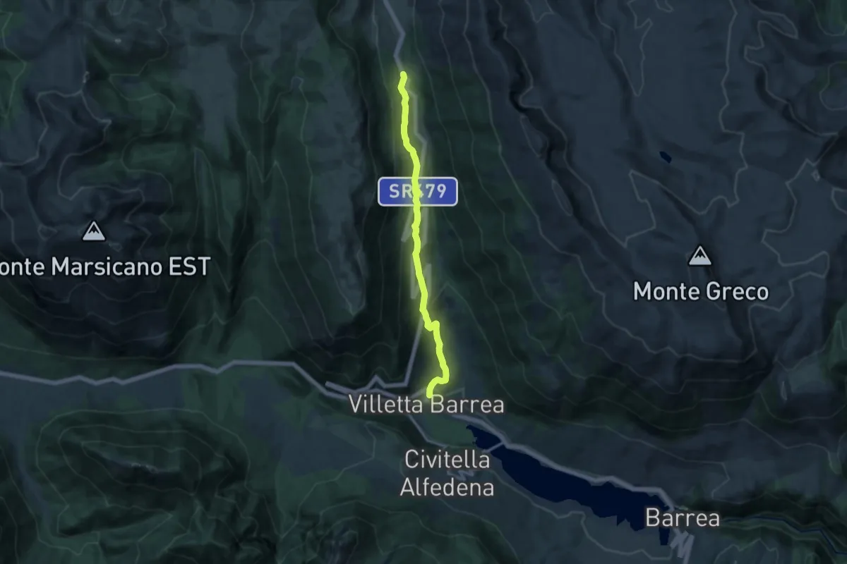
Medium · Trail
Villetta Barrea – Anatuccio
12.3 km · ↑ 561 m · 4 h 8 min · 14 km away
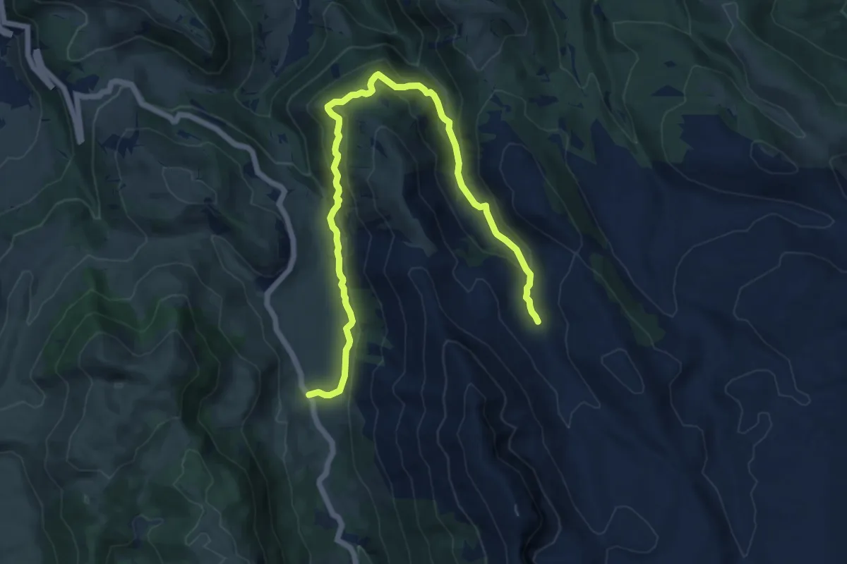
Medium · Cabin
Passo Godi – Stazzo Mandrucce
14.3 km · ↑ 657 m · 4 h 48 min · 14 km away
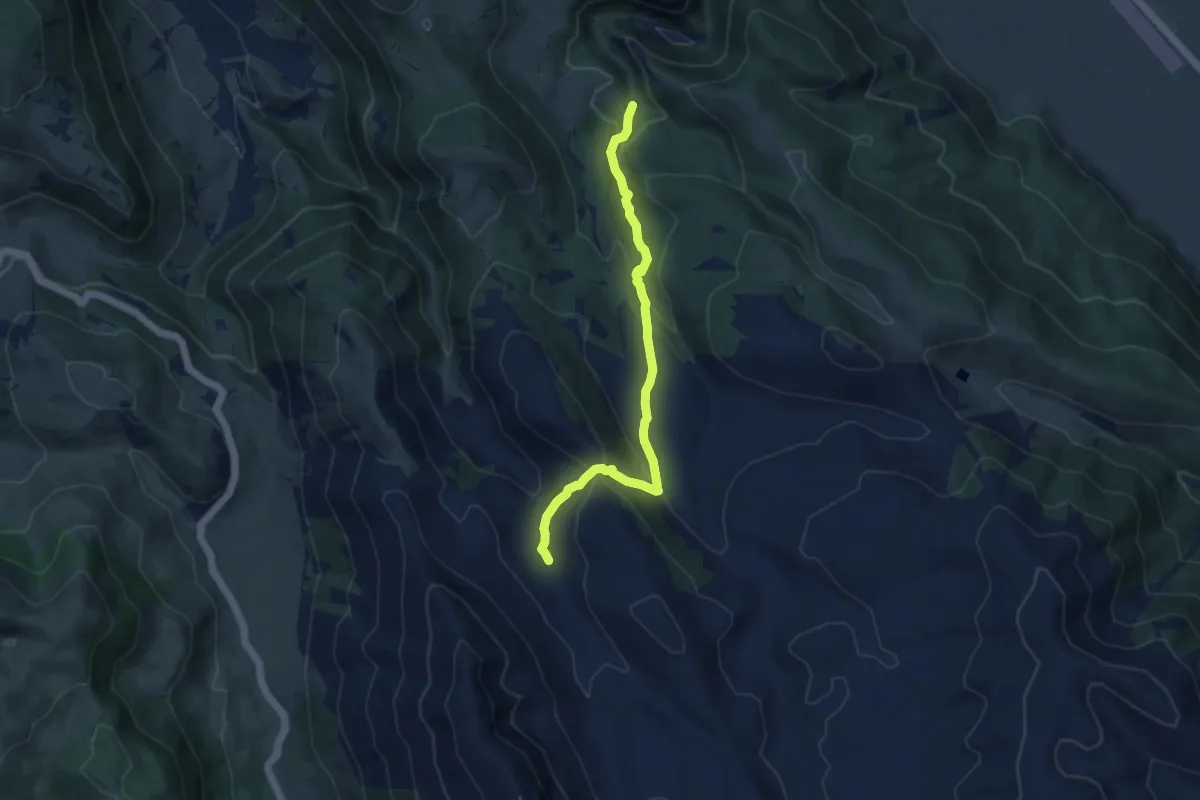
Medium · Trail
Stazzo Mandrucce – Imposto di Chiarano
9.1 km · ↑ 452 m · 3 h 8 min · 14 km away