Trails near Castel San Giorgio
74 hikes starting within 15 km, nearest first.
Nearest first, page 2 of 2
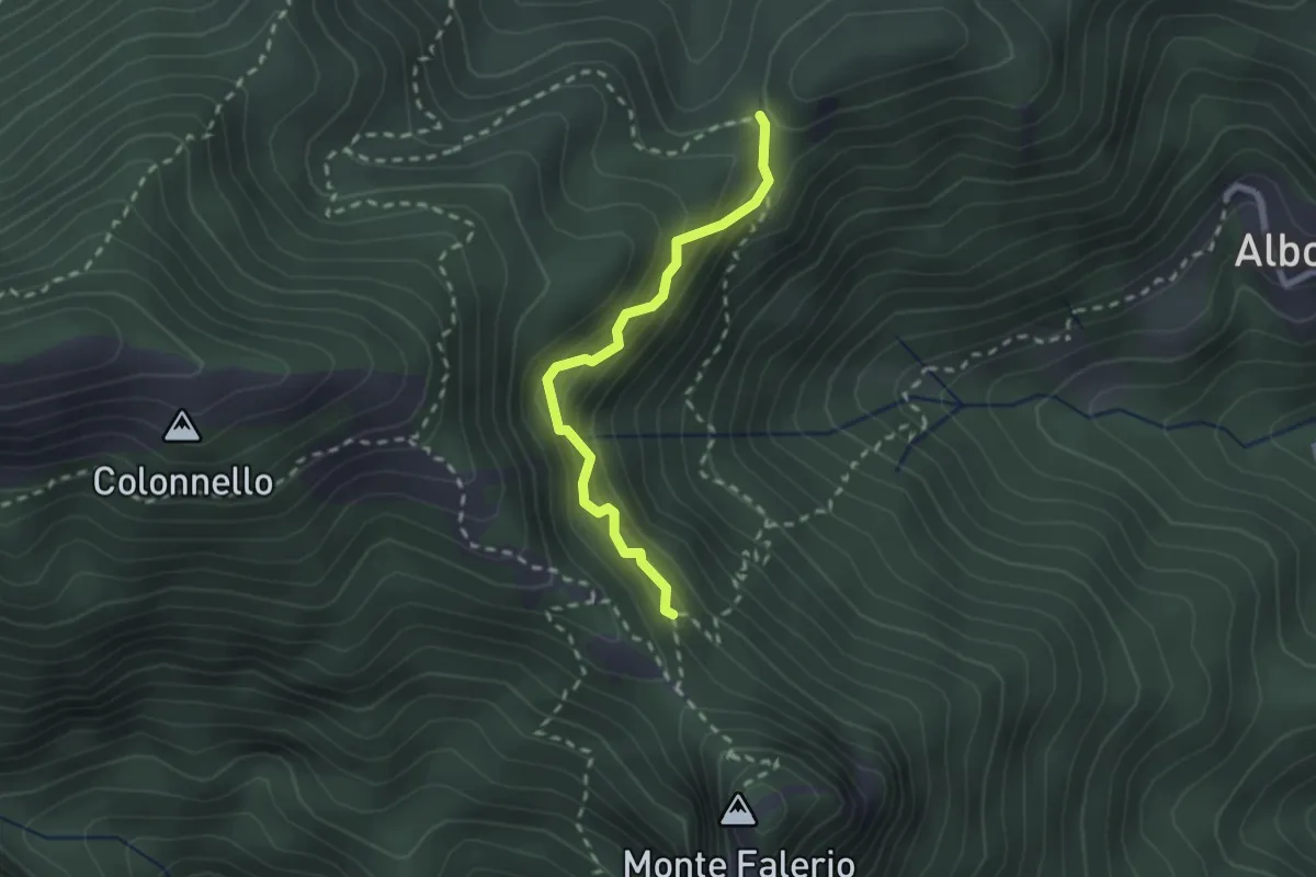
Demanding · Trail
Cappella Nuova – Sella del Monte Falerio
2.3 km · ↑ 272 m · 1 h 8 min · 12 km away
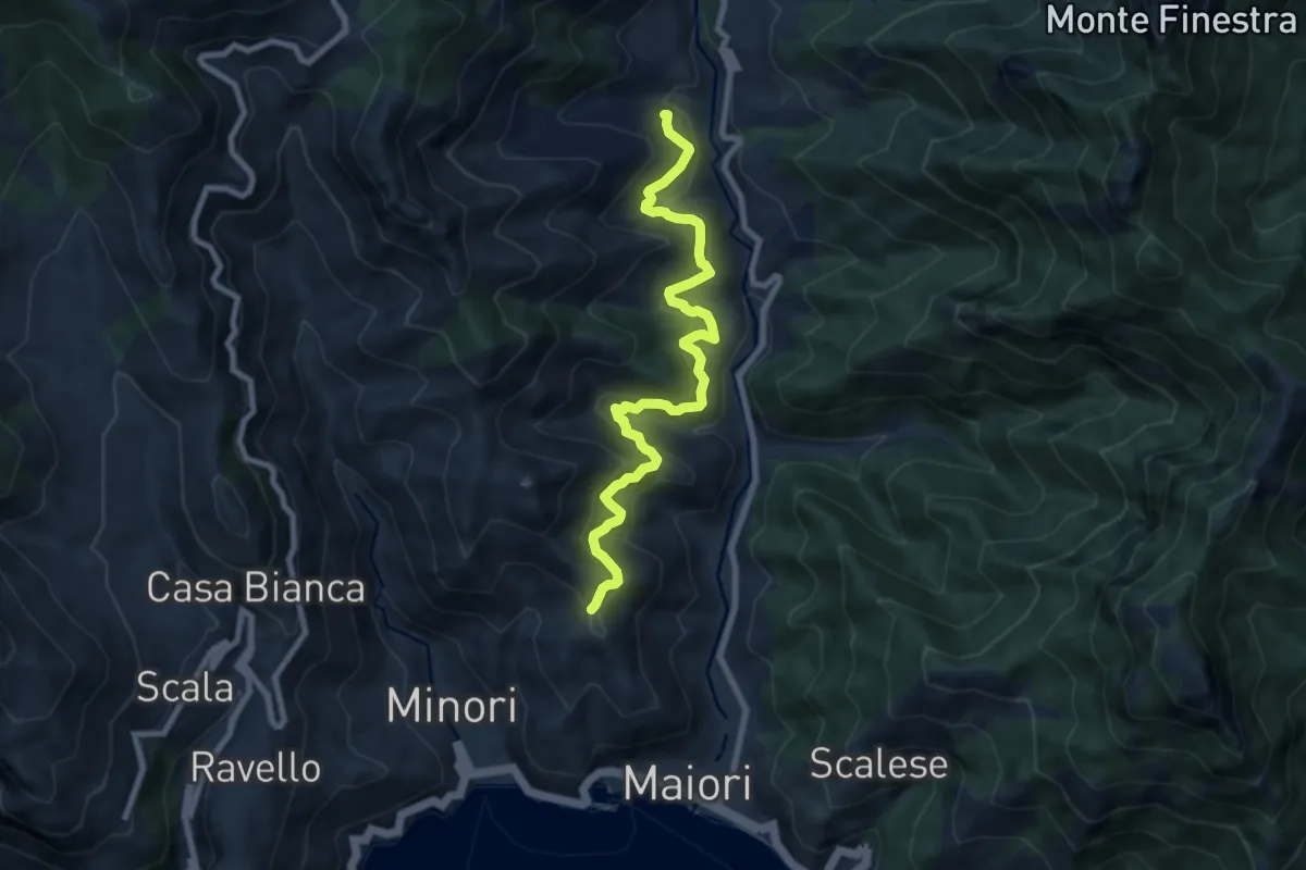
Medium · Trail
Sentiero delle Formichelle
9.4 km · ↑ 699 m · 3 h 44 min · 13 km away
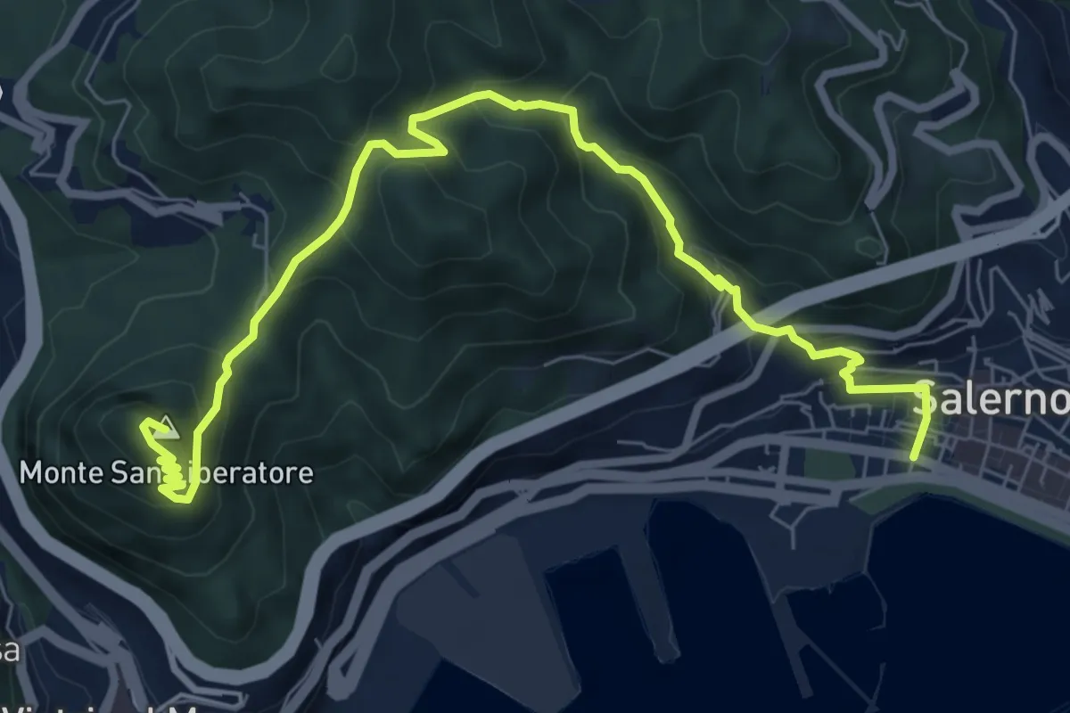
Medium · Summit
Salerno – Monte S. Liberatore
9.4 km · ↑ 658 m · 3 h 39 min · 13 km away
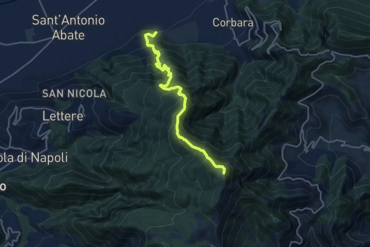
Demanding · Summit
Cimitero Vecchio di Angri – M.Cerreto
12.7 km · ↑ 1374 m · 5 h 59 min · 13 km away
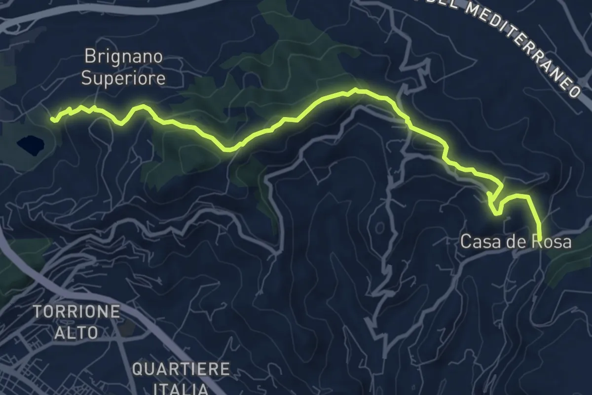
Medium · Trail
Brignano – Giovi
11.1 km · ↑ 485 m · 3 h 40 min · 13 km away
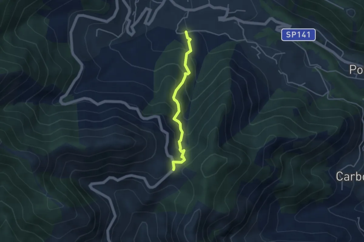
Medium · Trail
Loc. Frescale (Tramonti) – Loc. Passo
3.3 km · ↑ 329 m · 1 h 30 min · 13 km away
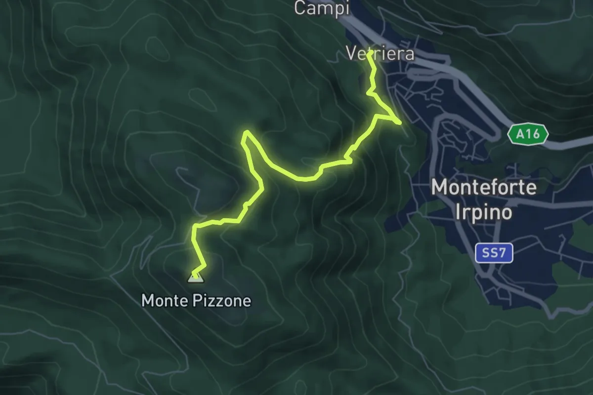
Medium · Summit
Monteforte Irpino – Monte Pizzone
7.1 km · ↑ 531 m · 2 h 49 min · 13 km away
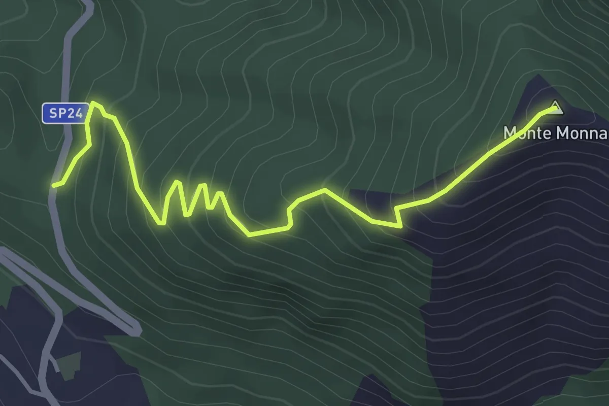
Medium · Summit
SP 24b Castiglione del Genovesi - Calvanico – Monte Monna
4.2 km · ↑ 401 m · 1 h 52 min · 13 km away
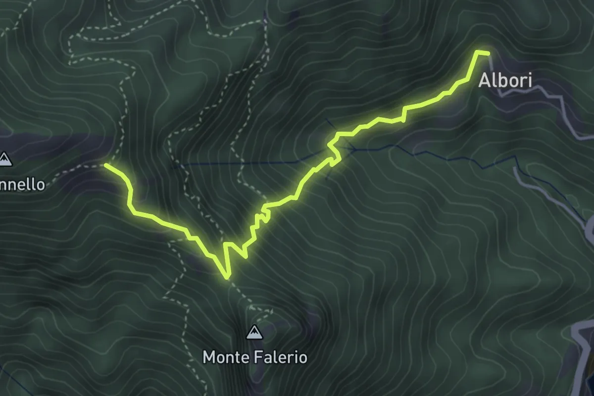
Medium · Trail
Albori – Monte Falerio / Cappella Vecchia
4.7 km · ↑ 500 m · 2 h 11 min · 13 km away
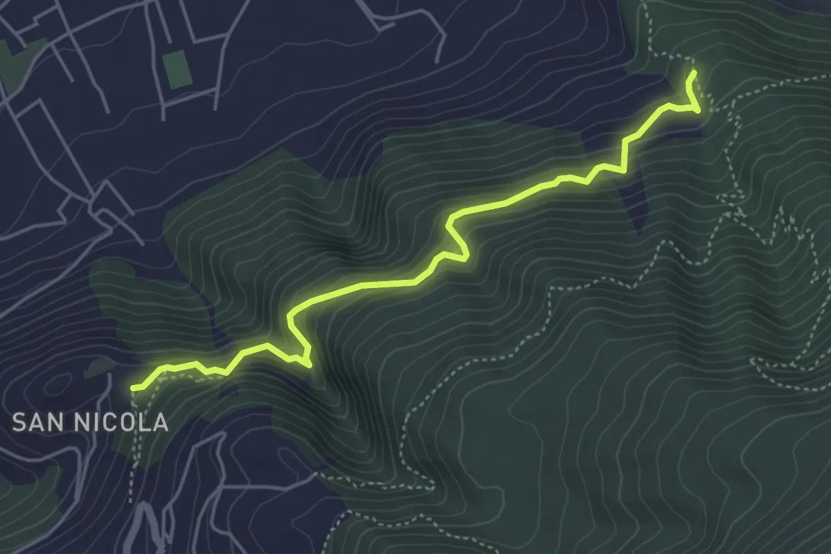
Medium · Trail
Sentiero del Castello di Lettere
5.3 km · ↑ 459 m · 2 h 14 min · 13 km away
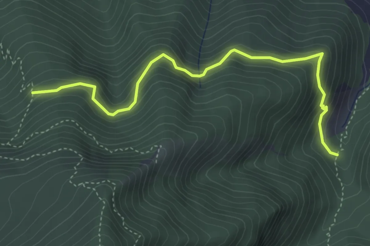
Medium · Trail
Sentiero della Casa rossa
4.8 km · ↑ 429 m · 2 h 3 min · 13 km away
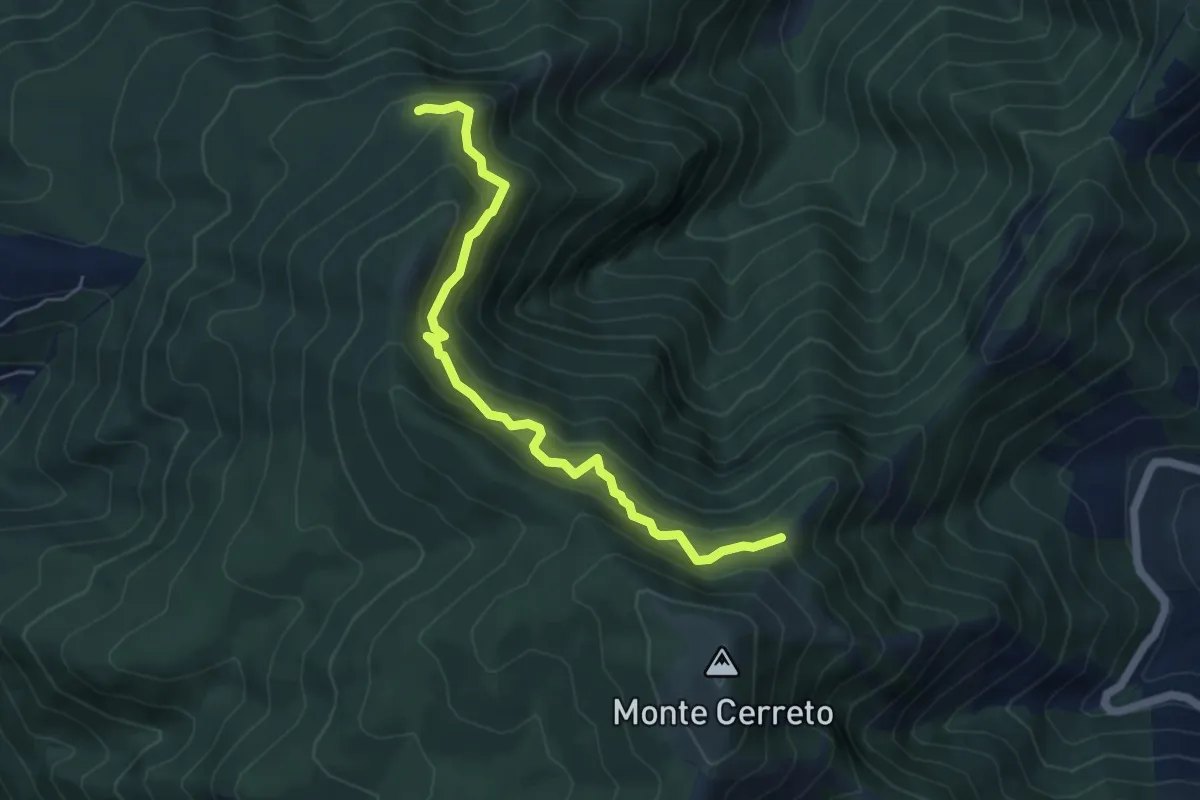
Medium · Trail
Sentiero del professore
5.7 km · ↑ 602 m · 2 h 40 min · 13 km away
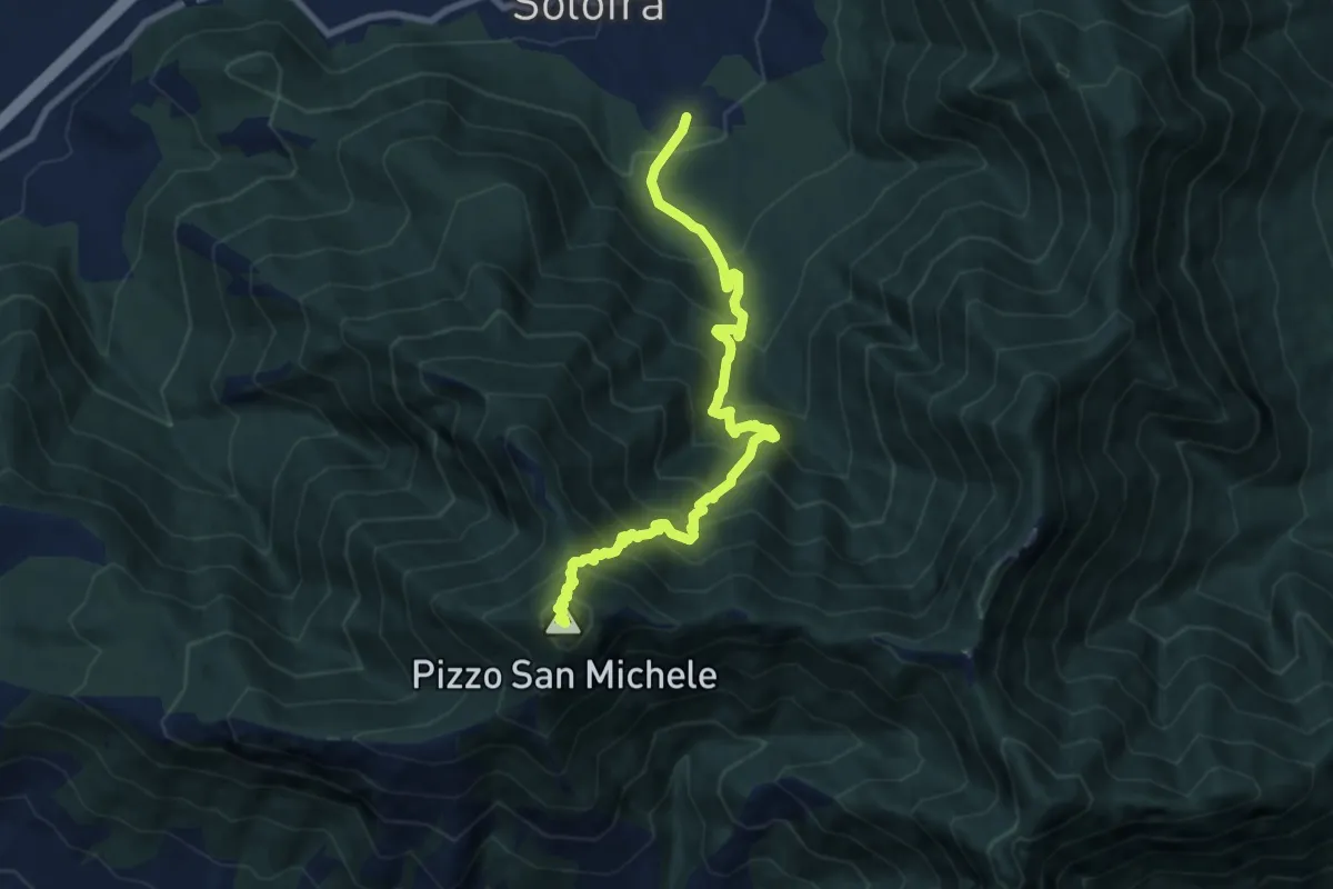
Demanding · Summit
Sentiero della scorza
9.9 km · ↑ 1184 m · 4 h 55 min · 14 km away
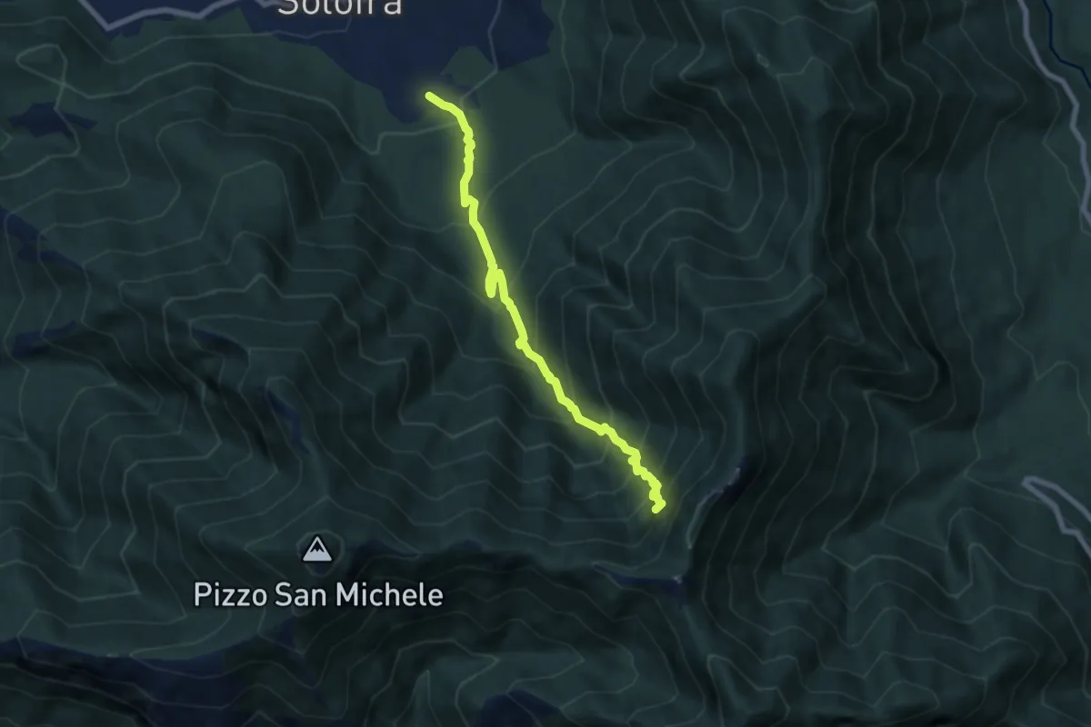
Demanding · Trail
Arco – Neviere
7.3 km · ↑ 900 m · 3 h 41 min · 14 km away
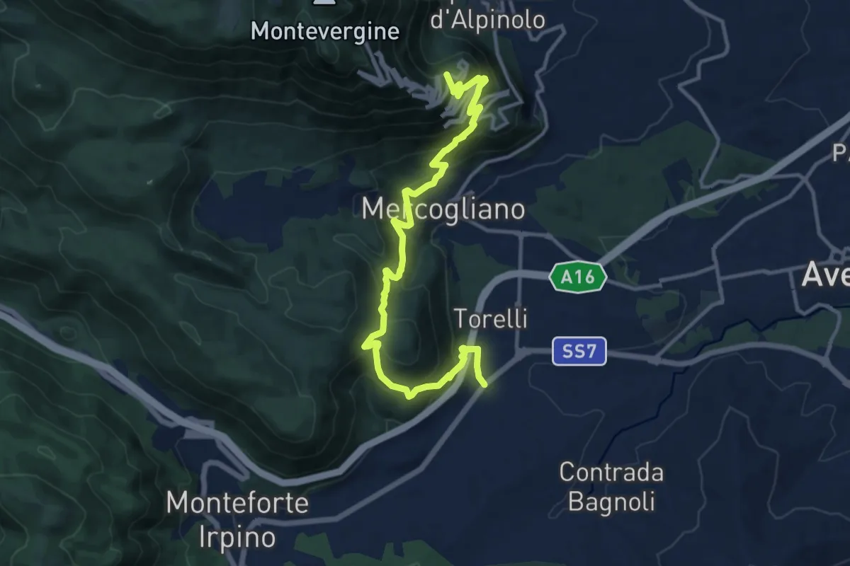
Demanding · Trail
Monteforte (Alvanella) – Bivio Ospedaletto
14.6 km · ↑ 964 m · 5 h 33 min · 14 km away
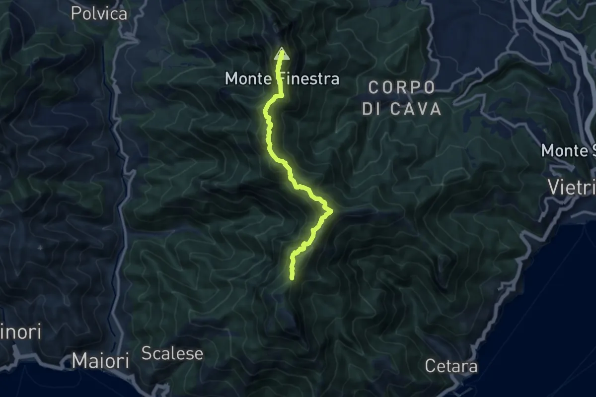
Demanding · Summit
Alta Via dei Monti Lattari - 02
9.0 km · ↑ 852 m · 3 h 59 min · 14 km away
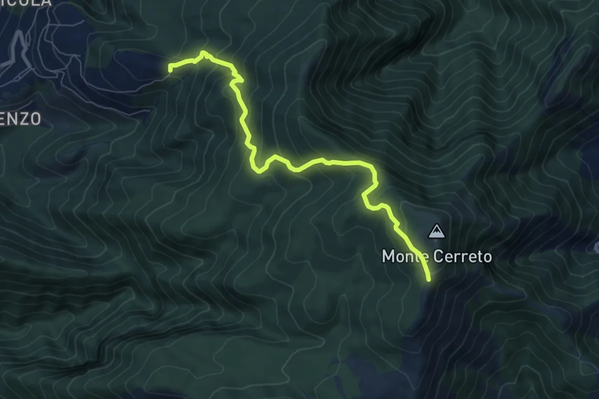
Medium · Trail
Incrocio 330 – Incrocio 300
8.0 km · ↑ 678 m · 3 h 21 min · 14 km away
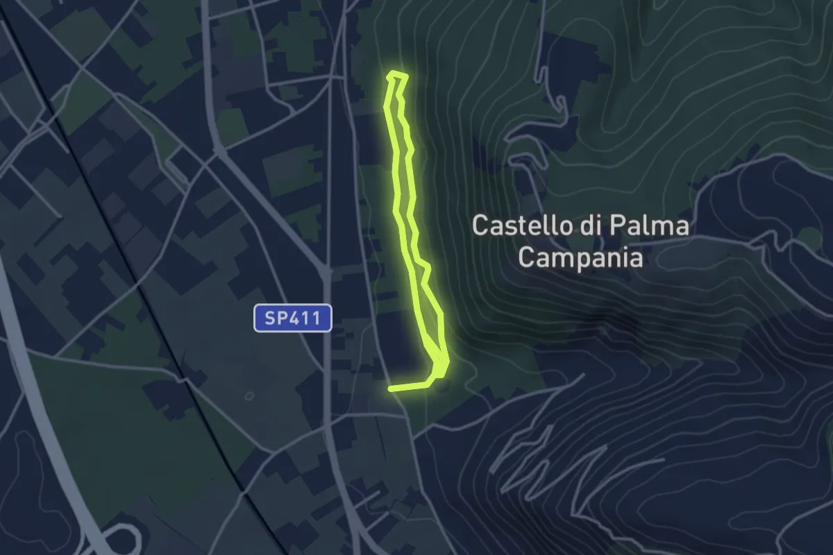
Easy · Trail
Bosco Crocelle
5.2 km · ↑ 115 m · 1 h 28 min · 14 km away
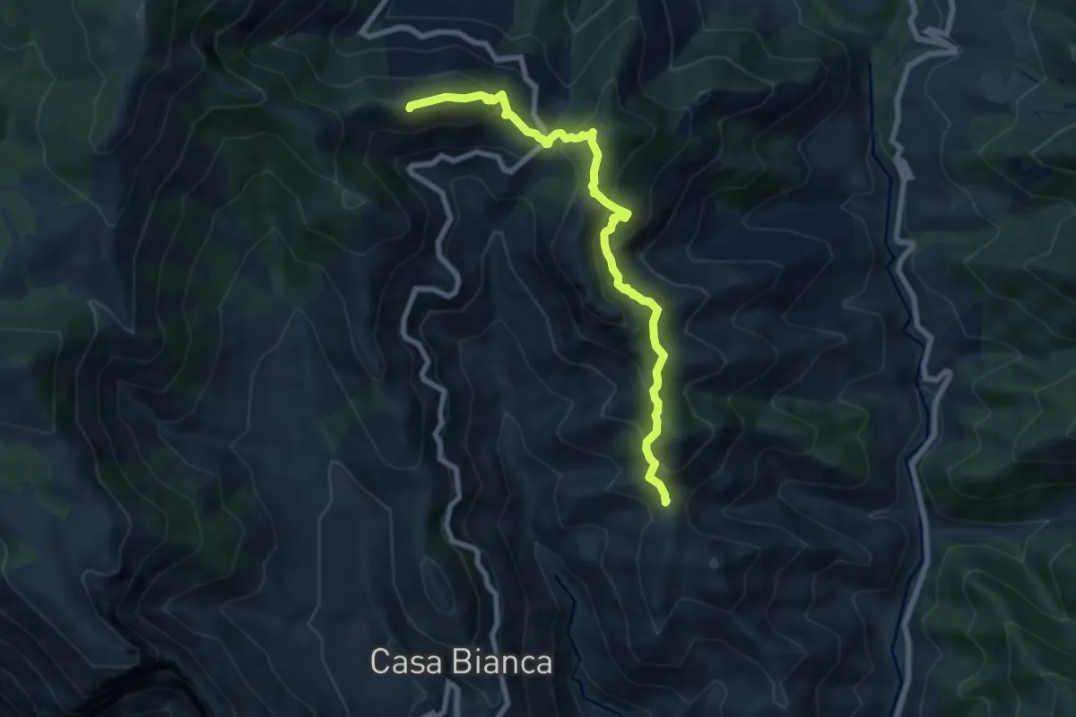
Medium · Summit
Innesto 315a (Loc. Mandrino) – Incrocio 300
8.2 km · ↑ 733 m · 3 h 32 min · 14 km away
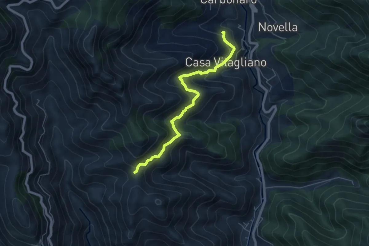
Medium · Trail
Paterno Sant'Elia (Tramonti) – Località Mandrino
5.6 km · ↑ 513 m · 2 h 26 min · 14 km away
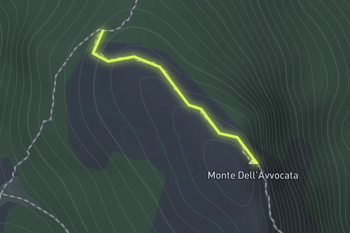
Medium · Summit
Variante per Vetta Avvocata
0.7 km · ↑ 86 m · 21 min · 14 km away
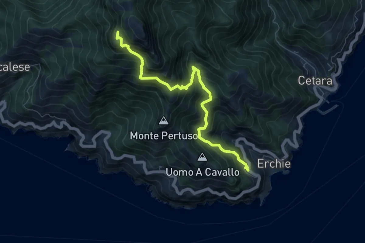
Demanding · Trail
Erchie – Santuario dell'Avvocata
8.1 km · ↑ 955 m · 3 h 58 min · 15 km away
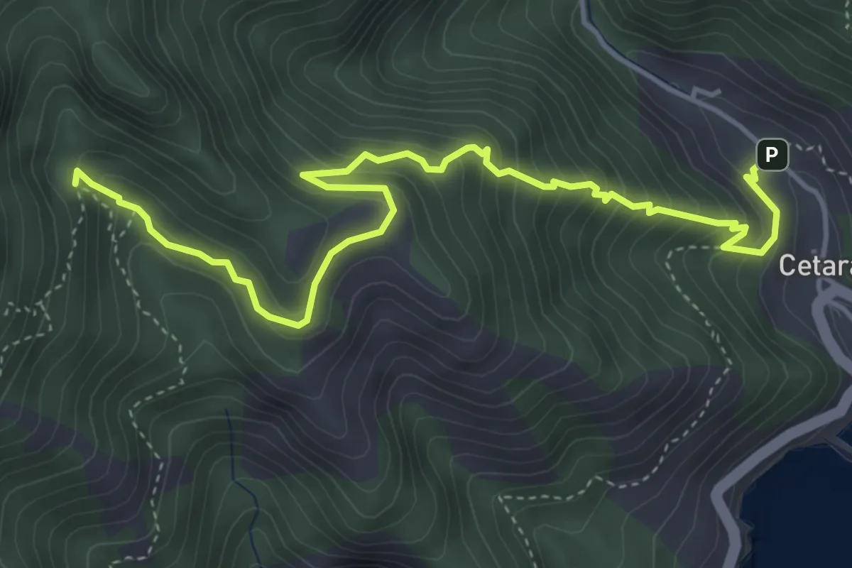
Medium · Trail
Cetara – Incrocio 305
5.7 km · ↑ 573 m · 2 h 36 min · 15 km away
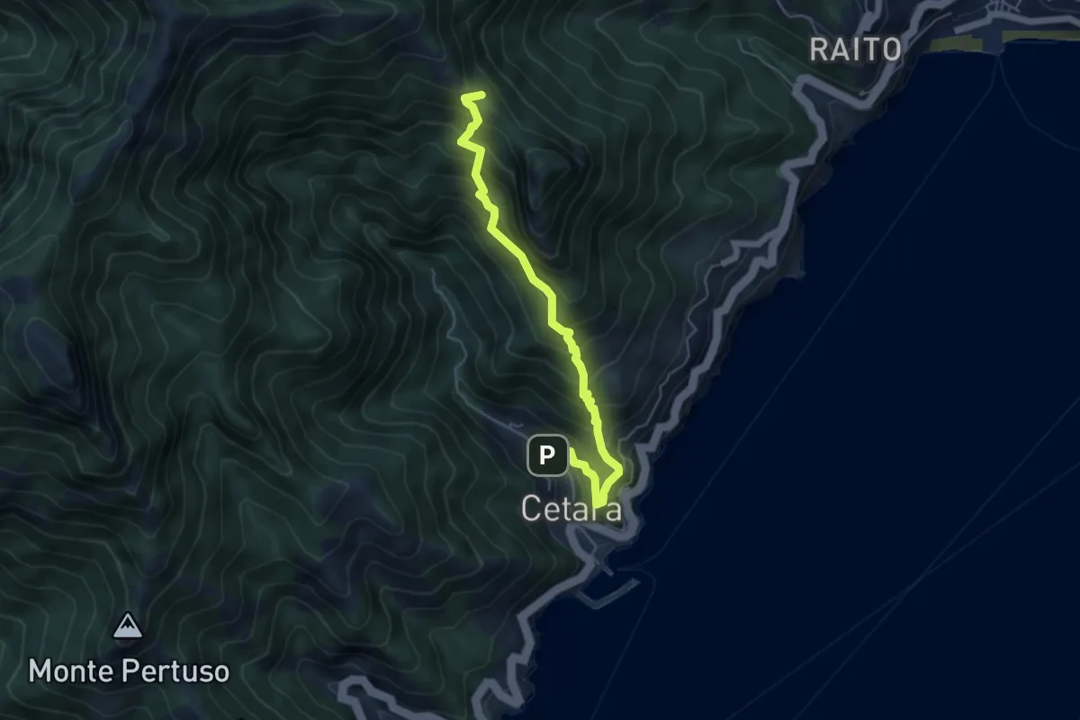
Medium · Trail
Cetara – Sella del Monte Falerio
5.8 km · ↑ 676 m · 2 h 50 min · 15 km away
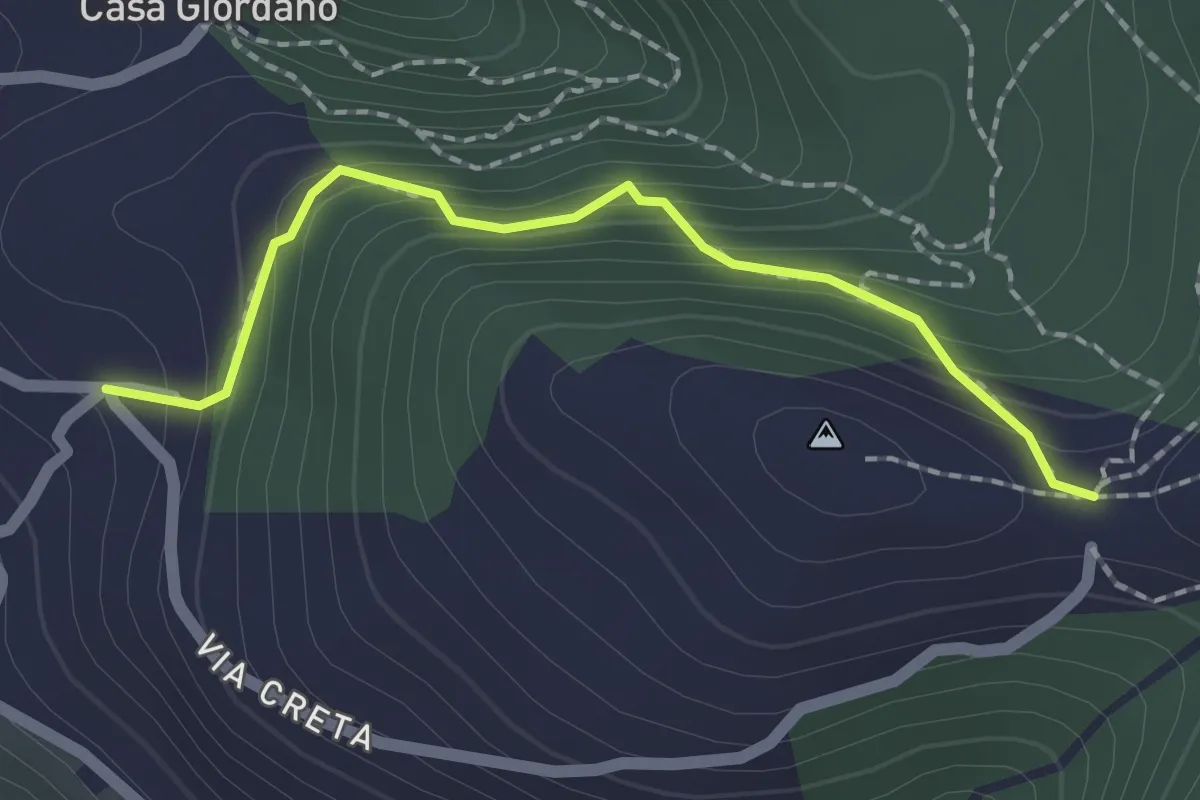
Medium · Trail
La Creta
2.0 km · ↑ 187 m · 53 min · 15 km away
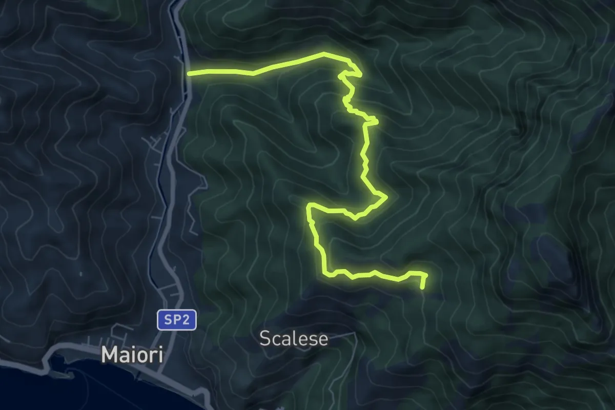
Medium · Trail
Vecite (Maiori) – Incrocio 307
8.7 km · ↑ 652 m · 3 h 28 min · 15 km away