Trails near Castellammare di Stabia
119 hikes starting within 15 km, nearest first.
Nearest first, page 3 of 3
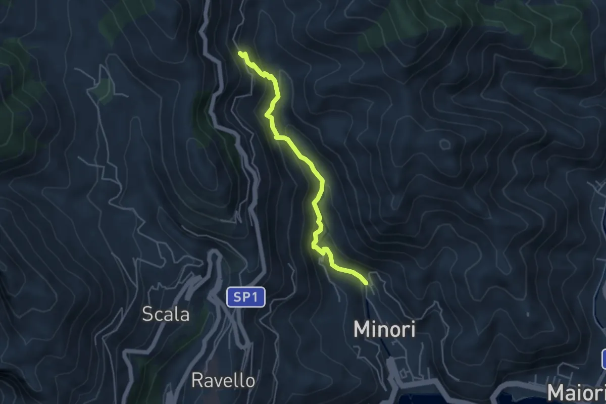
Medium · Trail
Loc. Villamena (Minori) – Loc. Sambuco
4.5 km · ↑ 332 m · 1 h 47 min · 13 km away
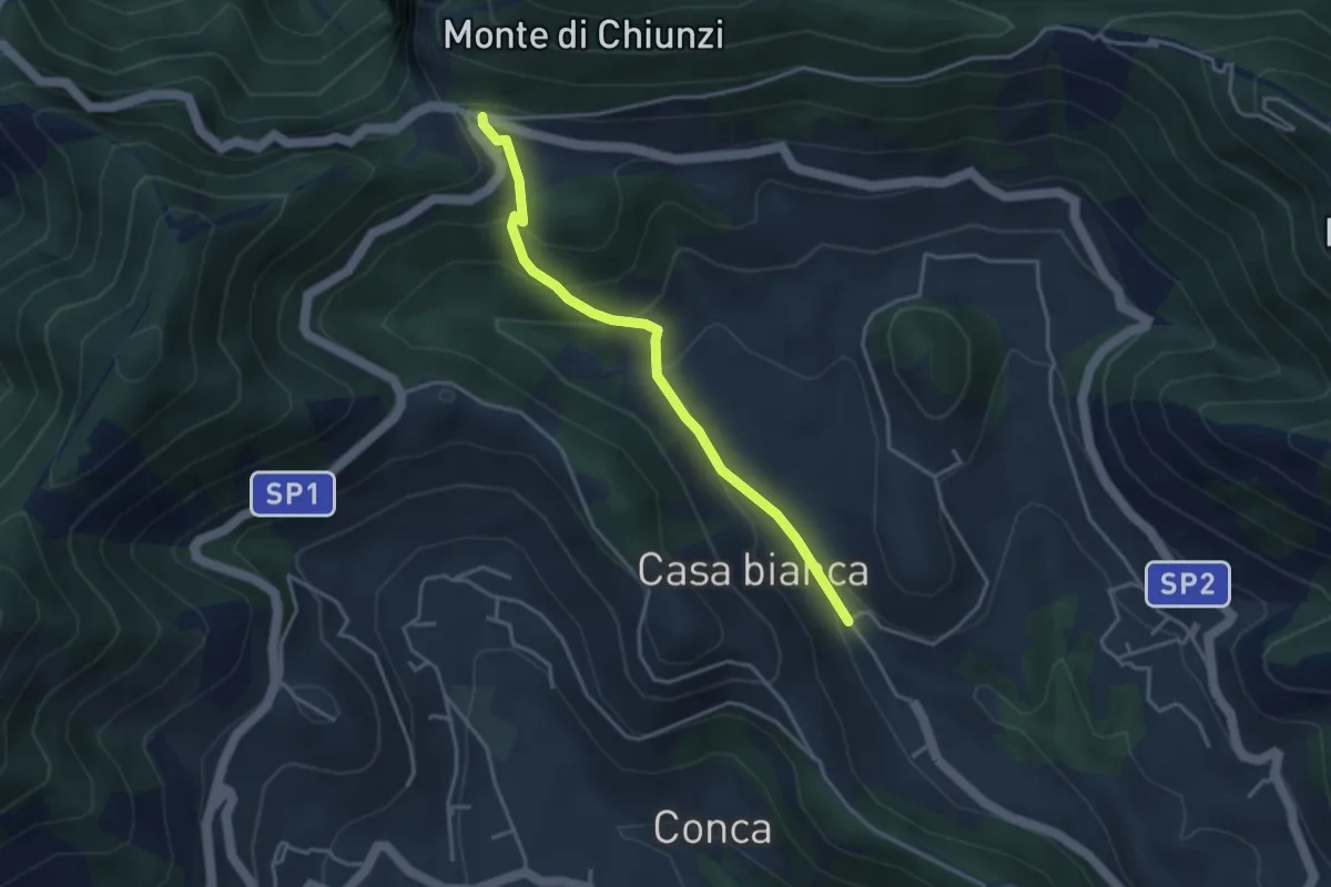
Easy · Trail
Incrocio 310 (Loc. Casa Lauro) – Valico di Chiunzi
3.8 km · ↑ 243 m · 1 h 26 min · 13 km away
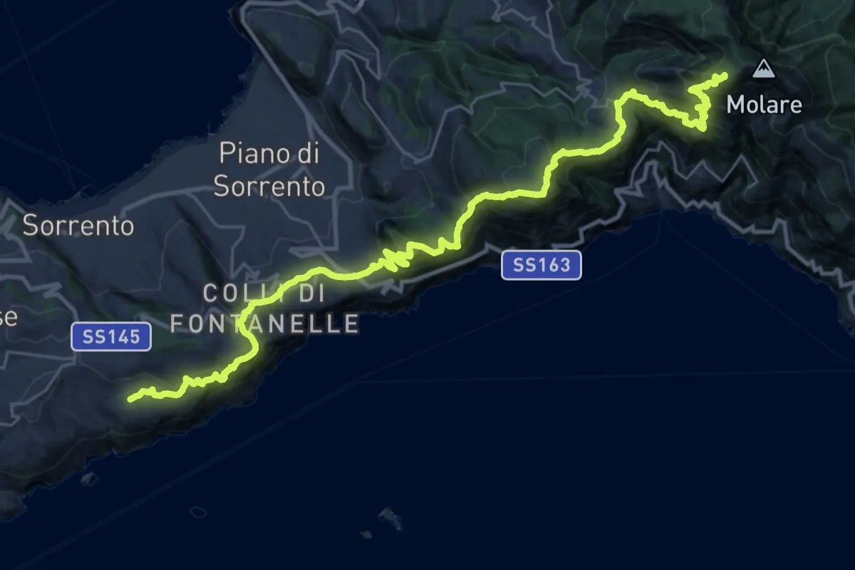
Demanding · Summit
Alta Via dei Monti Lattari - 07
35.2 km · ↑ 2864 m · 14 h 30 min · 13 km away
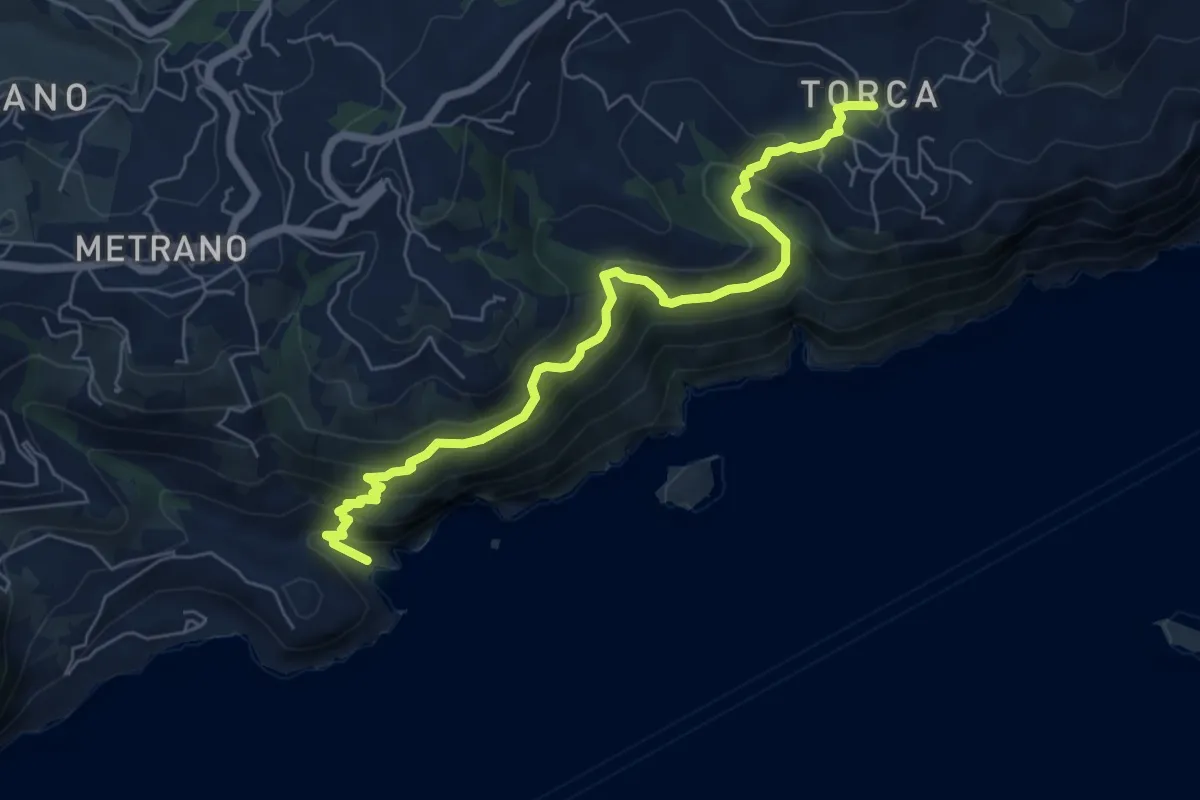
Demanding · Trail
Alta Via dei Monti Lattari - 08
7.4 km · ↑ 600 m · 3 h 3 min · 13 km away
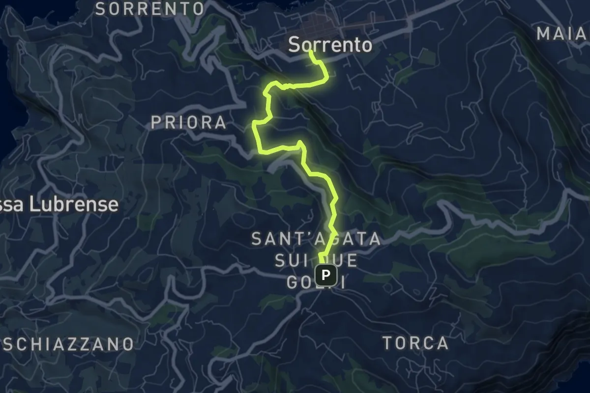
Medium · Trail
Itinerario 16
7.2 km · ↑ 379 m · 2 h 31 min · 13 km away
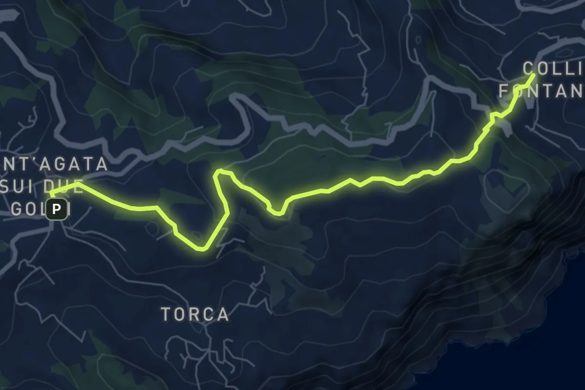
Medium · Trail
Itinerario 59
8.3 km · ↑ 297 m · 2 h 37 min · 13 km away
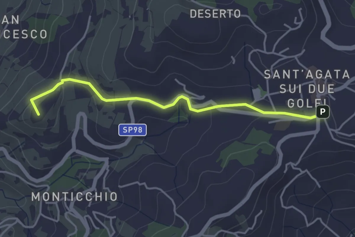
Easy · Summit
Itinerario 35
4.1 km · ↑ 94 m · 1 h 10 min · 13 km away
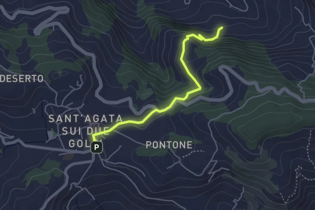
Easy · Trail
Itinerario 26
4.2 km · ↑ 246 m · 1 h 32 min · 13 km away
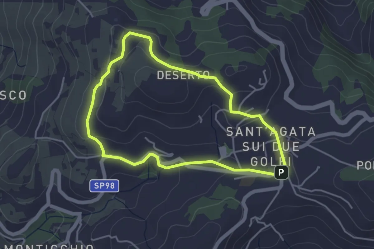
Easy · Summit
Itinerario 55
3.6 km · ↑ 89 m · 1 h 6 min · 13 km away
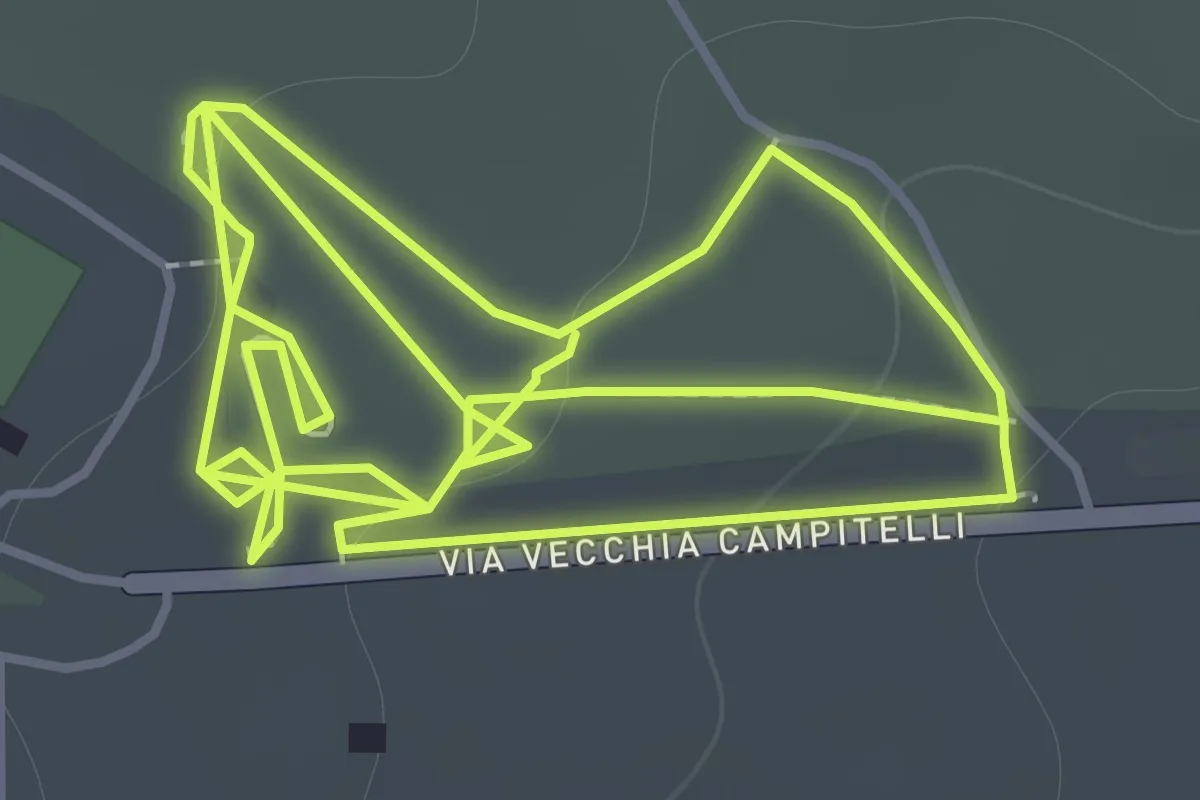
Easy · Trail
Sentiero 11: La Pineta Di Terzigno
2.1 km · ↑ 31 m · 36 min · 13 km away
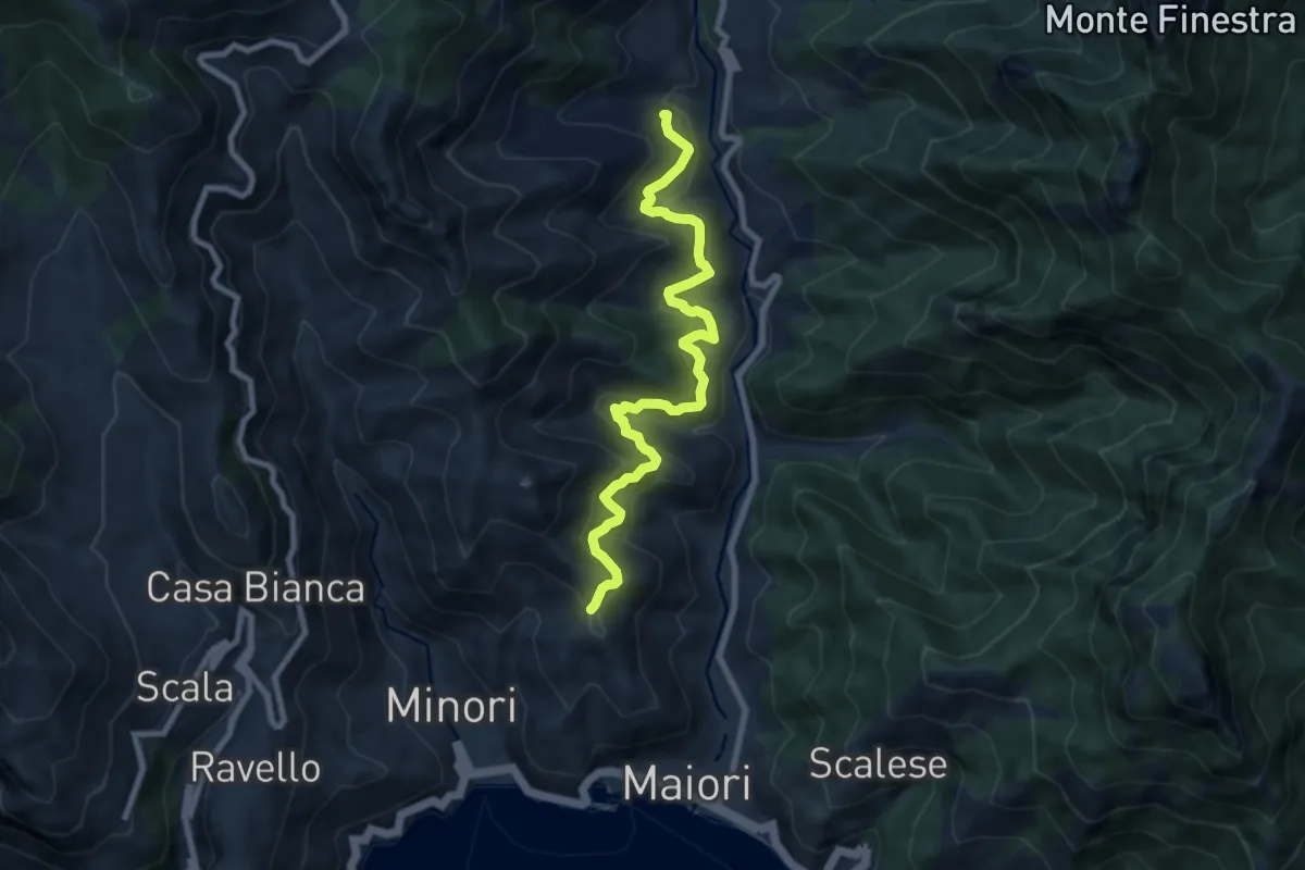
Medium · Trail
Sentiero delle Formichelle
9.4 km · ↑ 699 m · 3 h 44 min · 13 km away
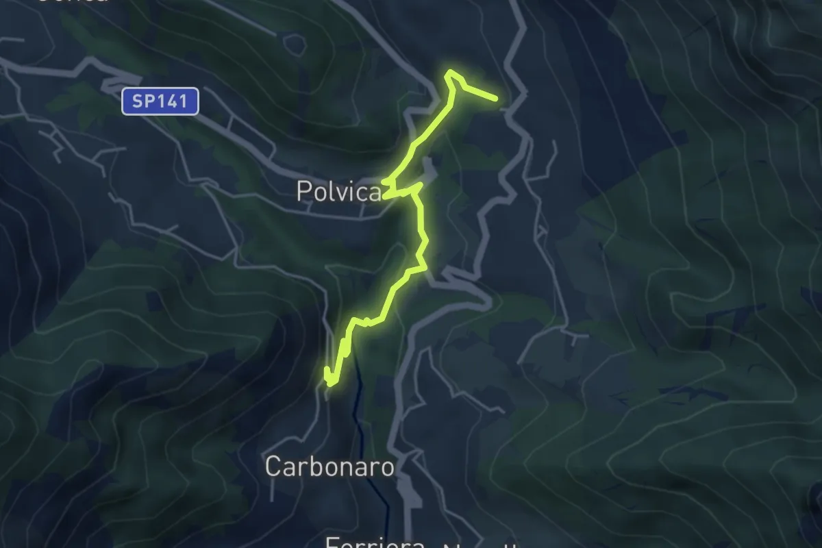
Medium · Trail
Incrocio 310 – Incrocio 310 (Paterno Sant'Arcangelo)
4.4 km · ↑ 211 m · 1 h 30 min · 13 km away
Medium · Trail
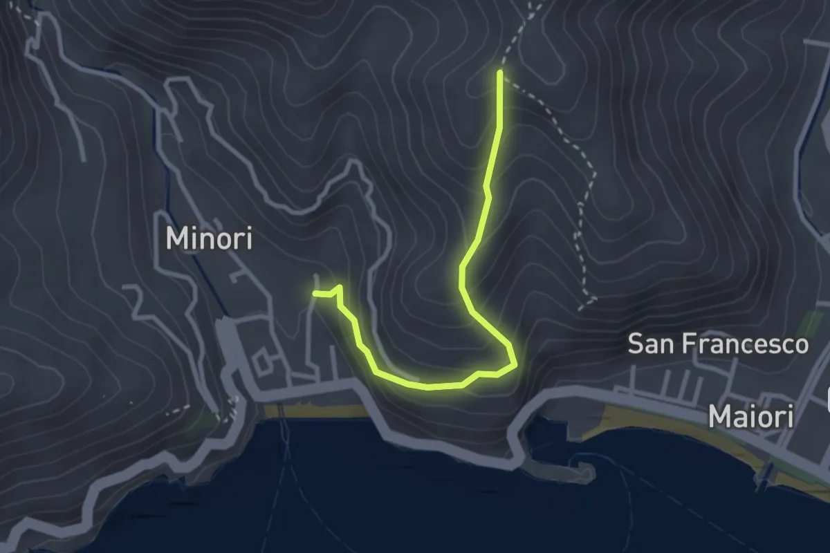
Minori – Incrocio 315a
2.8 km · ↑ 273 m · 1 h 15 min · 14 km away
Medium · Summit
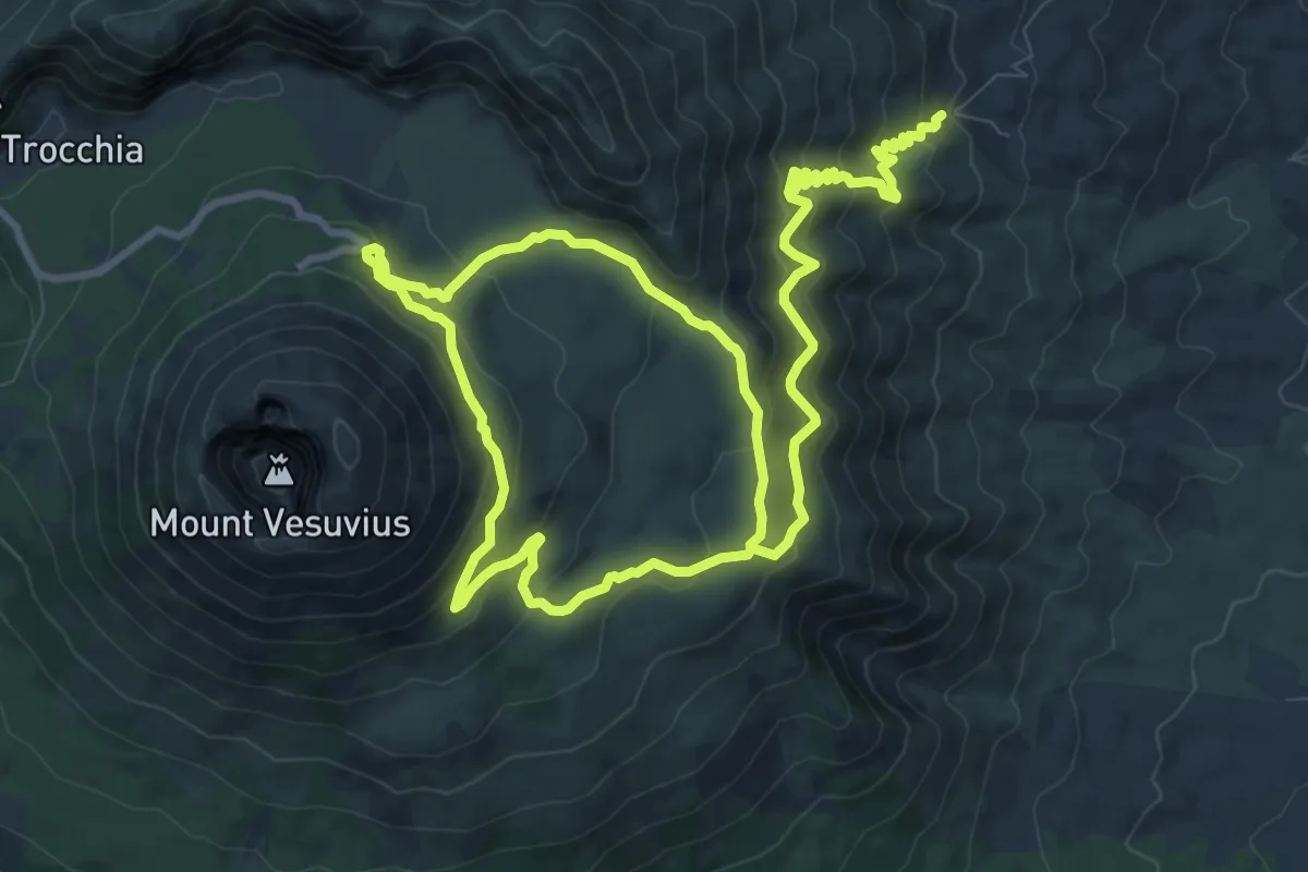
Sentiero 1: La Valle dell'Inferno
9.5 km · ↑ 399 m · 3 h 22 min · 14 km away
Demanding · Trail
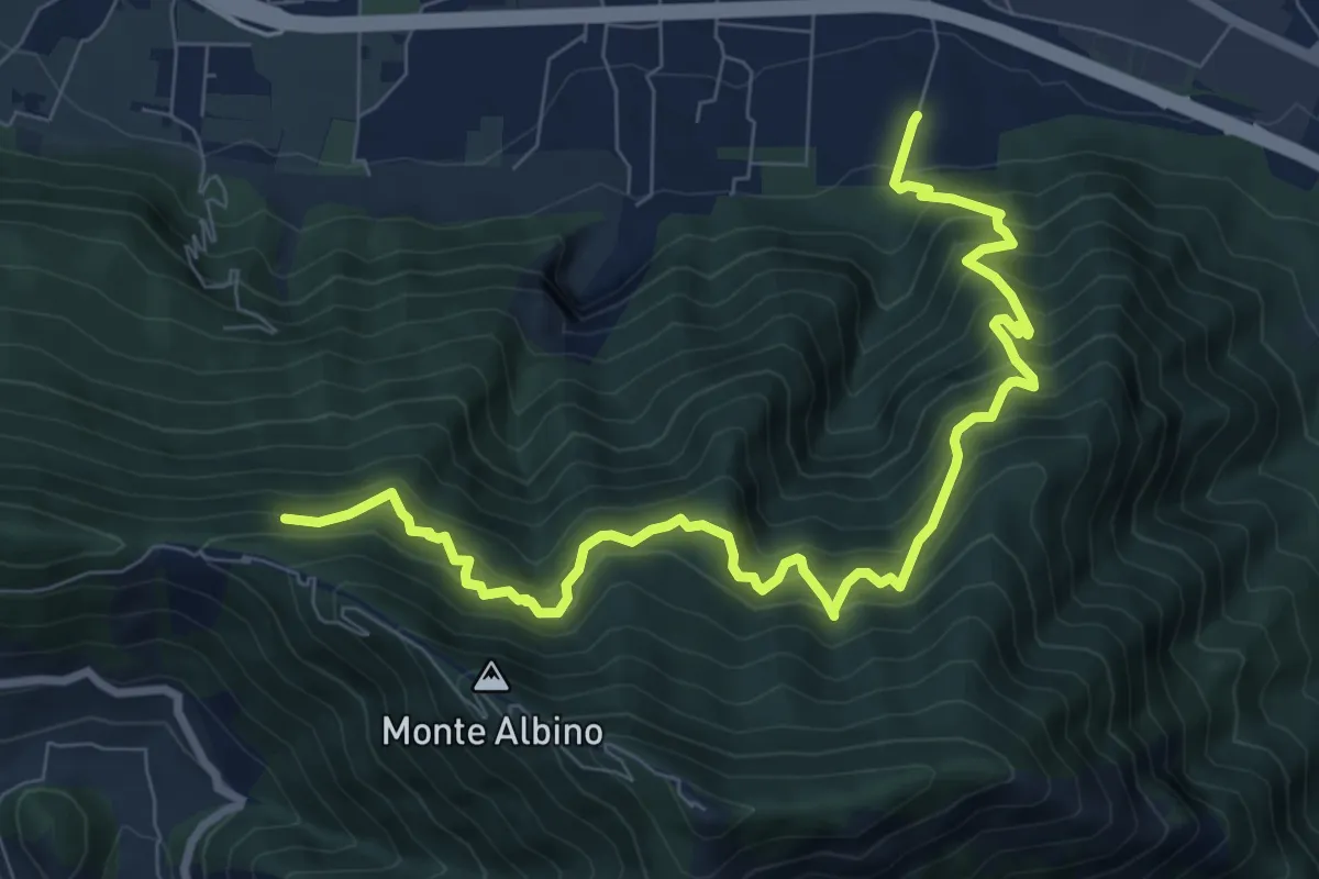
Loc. Petraro Pucciano (Nocera Inf.) – Incrocio 316
10.7 km · ↑ 1362 m · 5 h 29 min · 14 km away
Medium · Trail
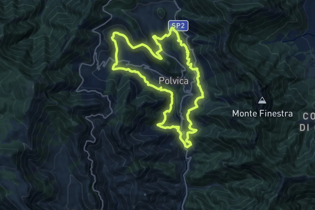
Sentiero delle 13 Chiese
15.0 km · ↑ 589 m · 5 h 2 min · 14 km away
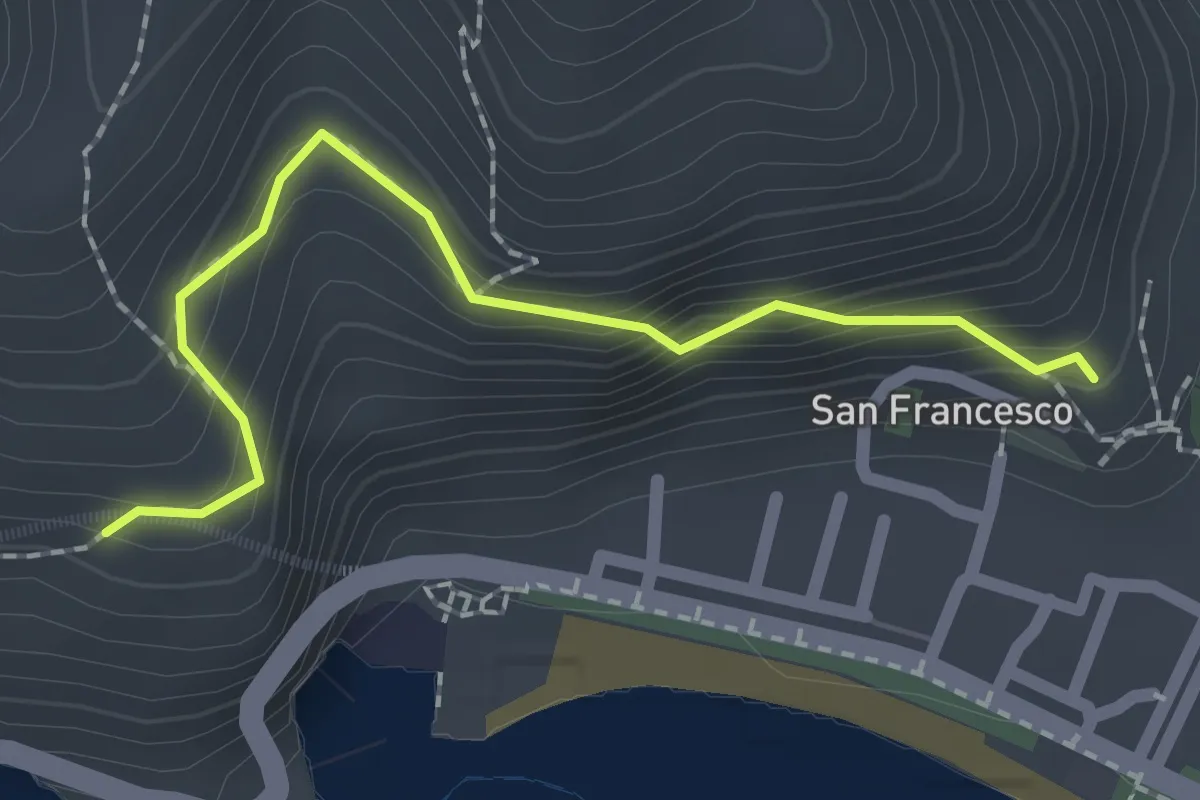
Easy · Trail
Via dei Limoni
2.1 km · ↑ 188 m · 55 min · 14 km away
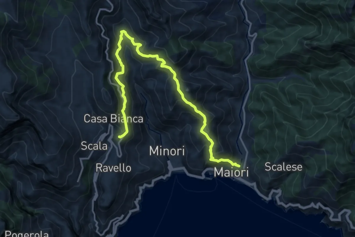
Demanding · Trail
Maiori – Ravello
14.2 km · ↑ 1089 m · 5 h 43 min · 14 km away
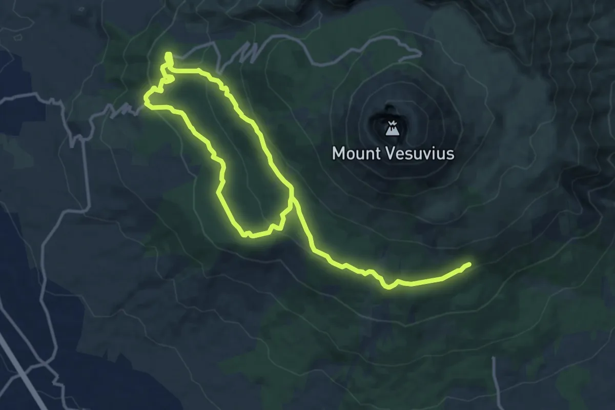
Demanding · Trail
Sentiero 4: Attraverso la Riserva Tirone
19.0 km · ↑ 534 m · 5 h 39 min · 15 km away
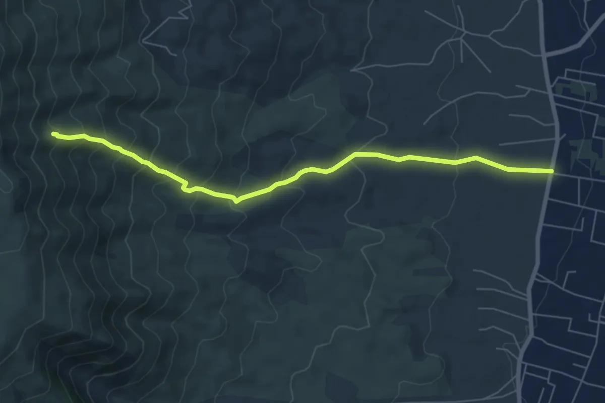
Medium · Trail
Sentiero 7: Il Vallone della Profica
6.8 km · ↑ 549 m · 2 h 48 min · 15 km away
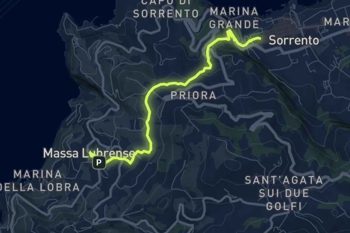
Medium · Trail
Itinerario 23
8.7 km · ↑ 298 m · 2 h 41 min · 15 km away
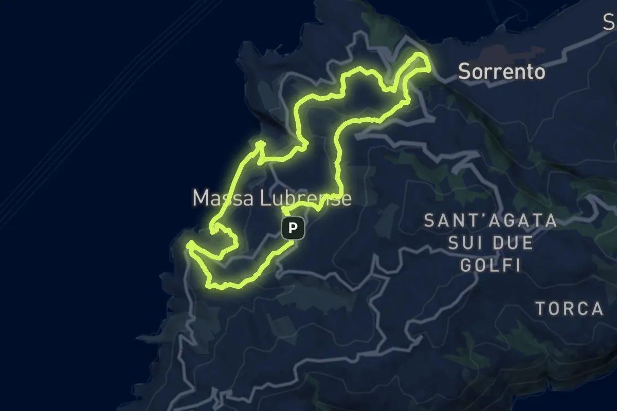
Demanding · Trail
Sentieri lubrensi
24.2 km · ↑ 982 m · 7 h 50 min · 15 km away
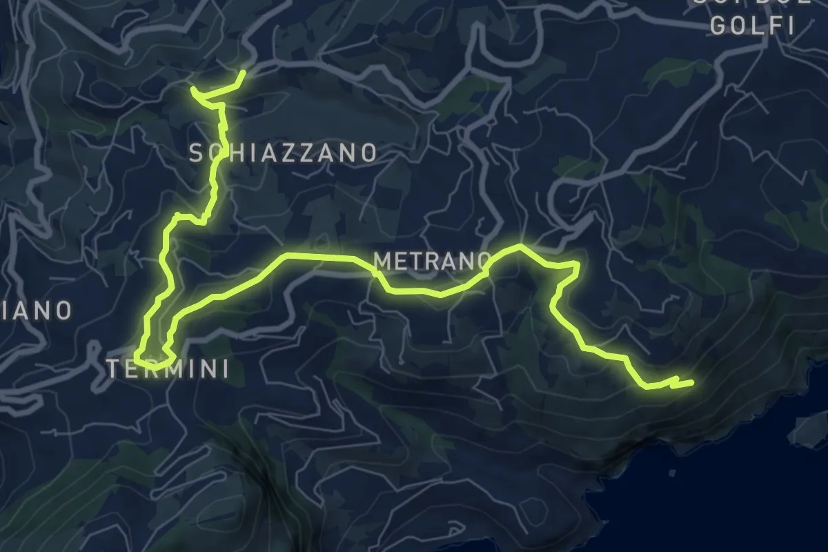
Medium · Trail
Variante Spina
11.9 km · ↑ 419 m · 3 h 43 min · 15 km away