Trails near Castellamonte
121 hikes starting within 15 km, nearest first.
Nearest first, page 3 of 3
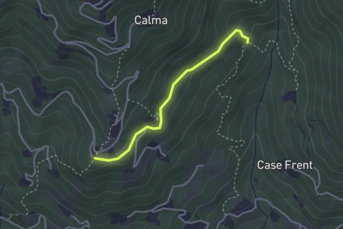
Easy · Trail
Bivio 417-418A – Bivio 418-418A
2.5 km · ↑ 115 m · 50 min · 14 km away
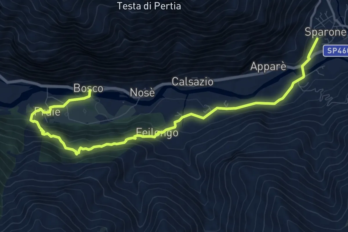
Medium · Trail
Sparone - Feilongo - Bosco
12.2 km · ↑ 618 m · 4 h 13 min · 14 km away
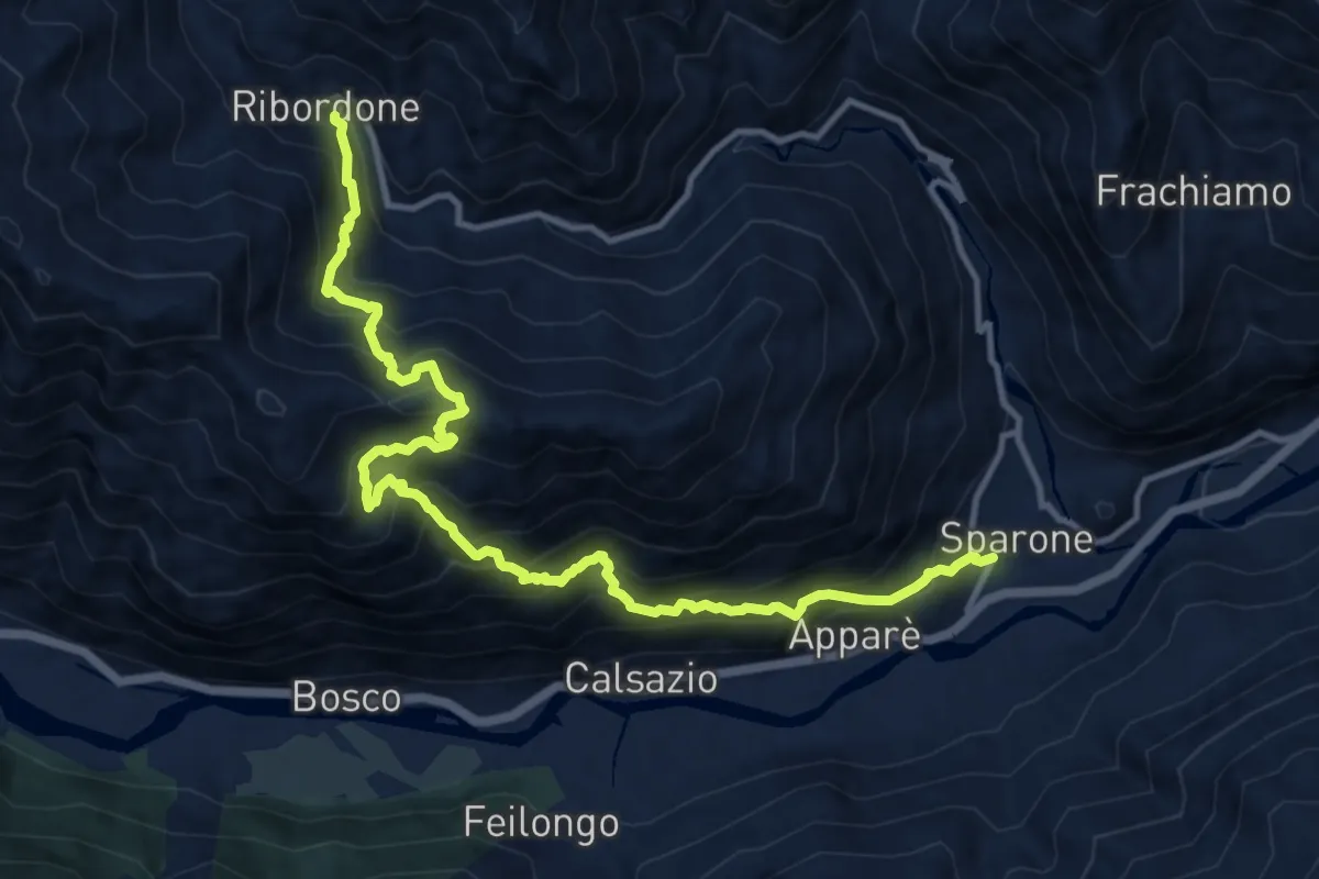
Demanding · Trail
Sparone – Ribordone
13.7 km · ↑ 1567 m · 6 h 38 min · 14 km away
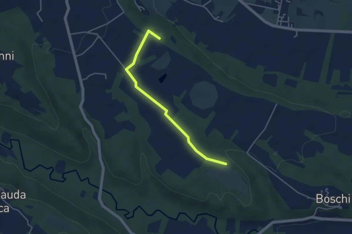
Easy · Trail
Rocca Canavese pressi Case Avocat – Barbania bivio TOP142
3.3 km · ↑ 39 m · 52 min · 14 km away
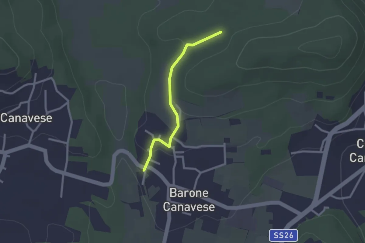
Easy · Trail
Alta Via dell’Anfiteatro Morenico di Ivrea - Itinerario di Collegamento di Barone Canavese
2.0 km · ↑ 42 m · 34 min · 14 km away
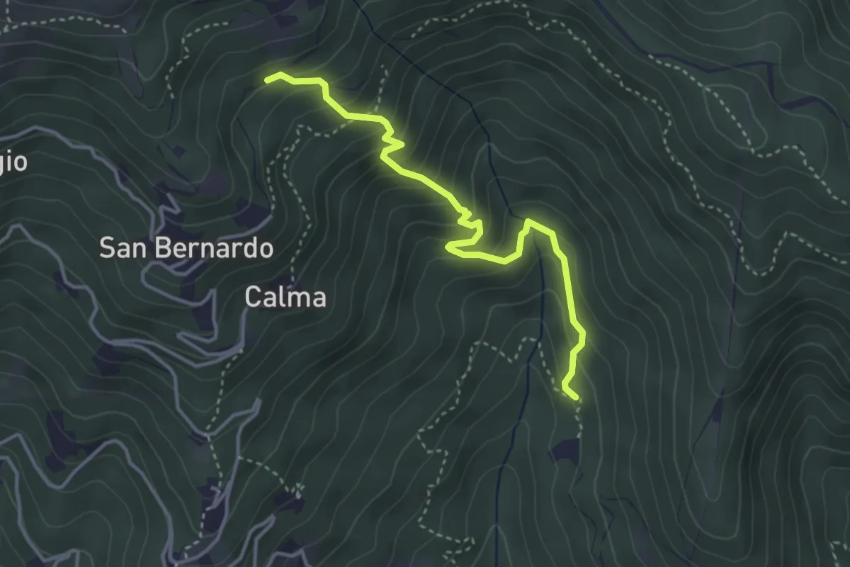
Medium · Trail
Bivio 418-418B, Case Coup – Bivio 417-418B, San Bernardo
3.8 km · ↑ 364 m · 1 h 40 min · 14 km away
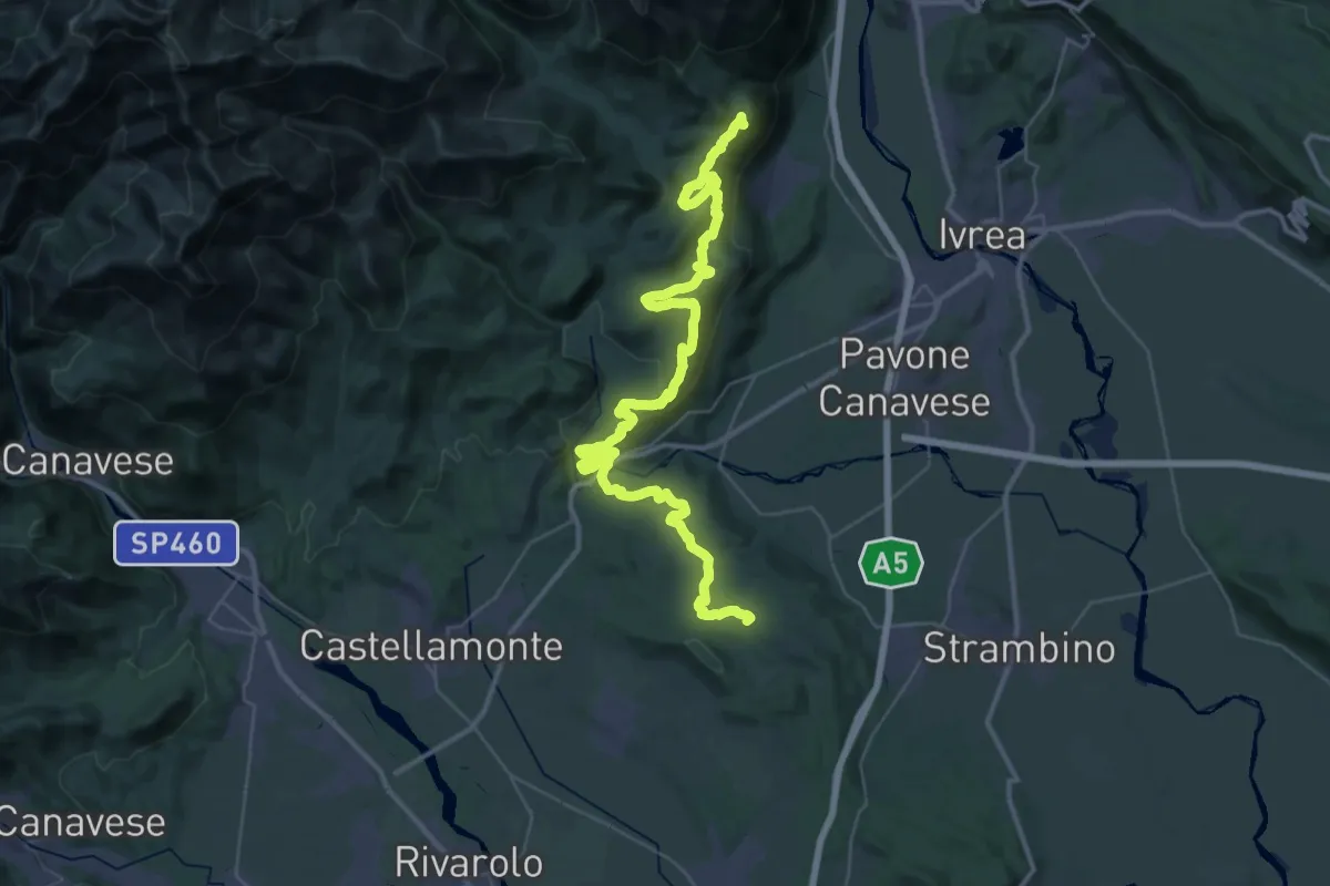
Demanding · Summit
Alta Via dell'Anfiteatro Morenico di Ivrea Tappa 5
52.0 km · ↑ 1359 m · 15 h 14 min · 14 km away
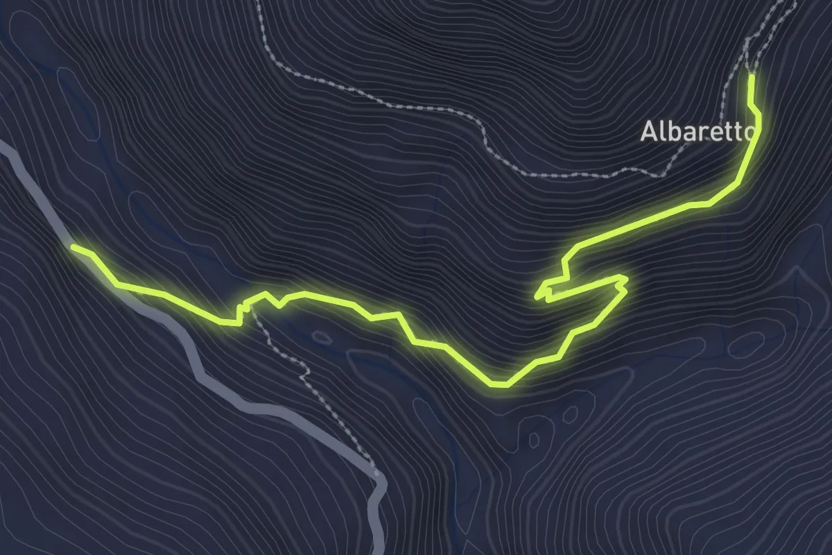
Medium · Trail
Ingria, Rivoira, Belvedere – Alberetto, bivio 602-602A
3.5 km · ↑ 363 m · 1 h 37 min · 14 km away
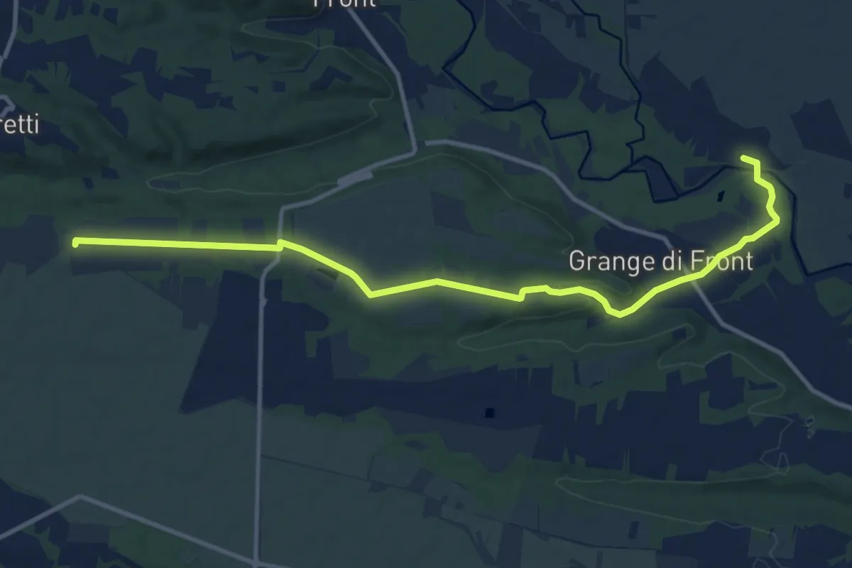
Medium · Trail
Cascina Babiasso, bivio TOP140-TOP143 – Località Ronchi Ceretti, bivio TOP214-TOP143
11.8 km · ↑ 113 m · 3 h 2 min · 14 km away
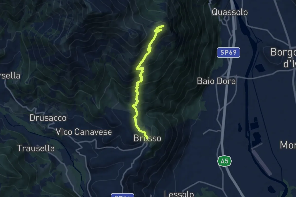
Demanding · Summit
Brosso bivio 720-721 – Monte Cavallaria
9.9 km · ↑ 716 m · 3 h 54 min · 14 km away
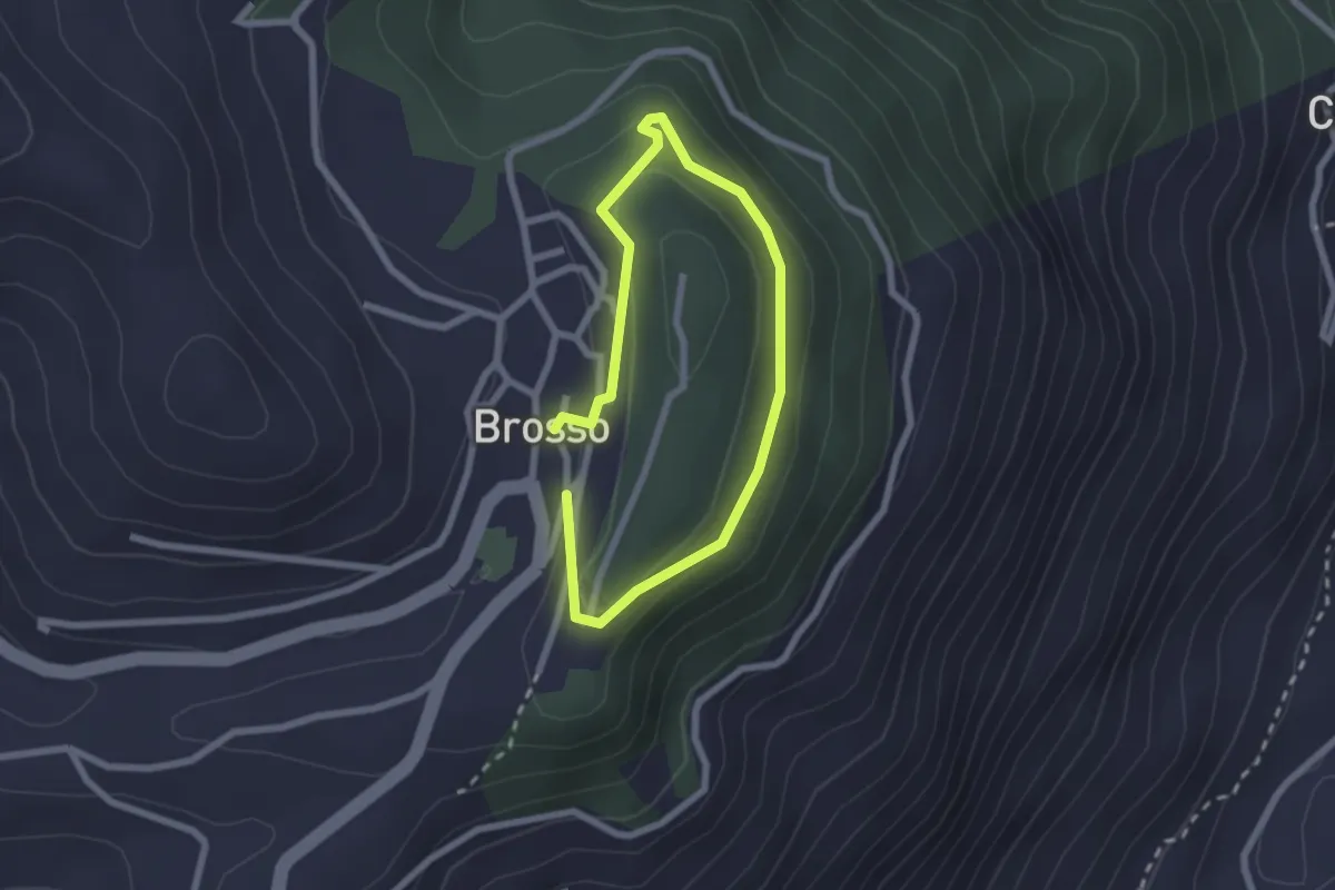
Easy · Trail
Brosso, bivio TON722-TON722A – Brosso, bivio TON722-TON722A
1.7 km · ↑ 54 m · 32 min · 14 km away
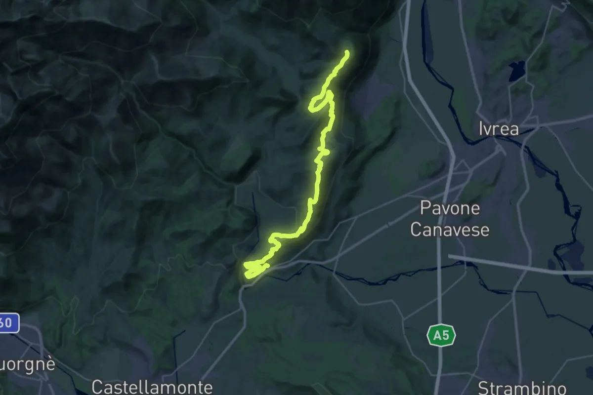
Medium · Trail
Strambinello, bivio 101 – Brosso, bivio 720-721
16.1 km · ↑ 287 m · 4 h 51 min · 14 km away
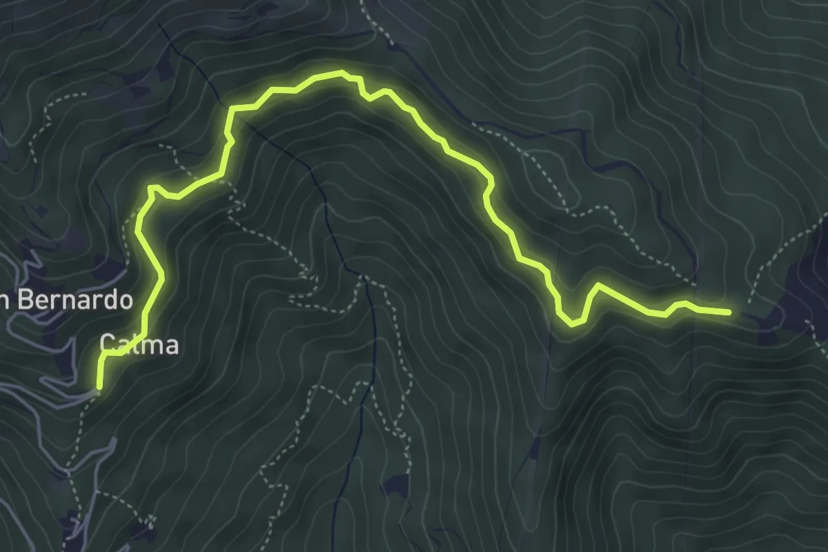
Medium · Trail
Bivio 417-417A, Calma – Bivio 417A-461, Madonna della Neve
6.3 km · ↑ 324 m · 2 h 11 min · 14 km away
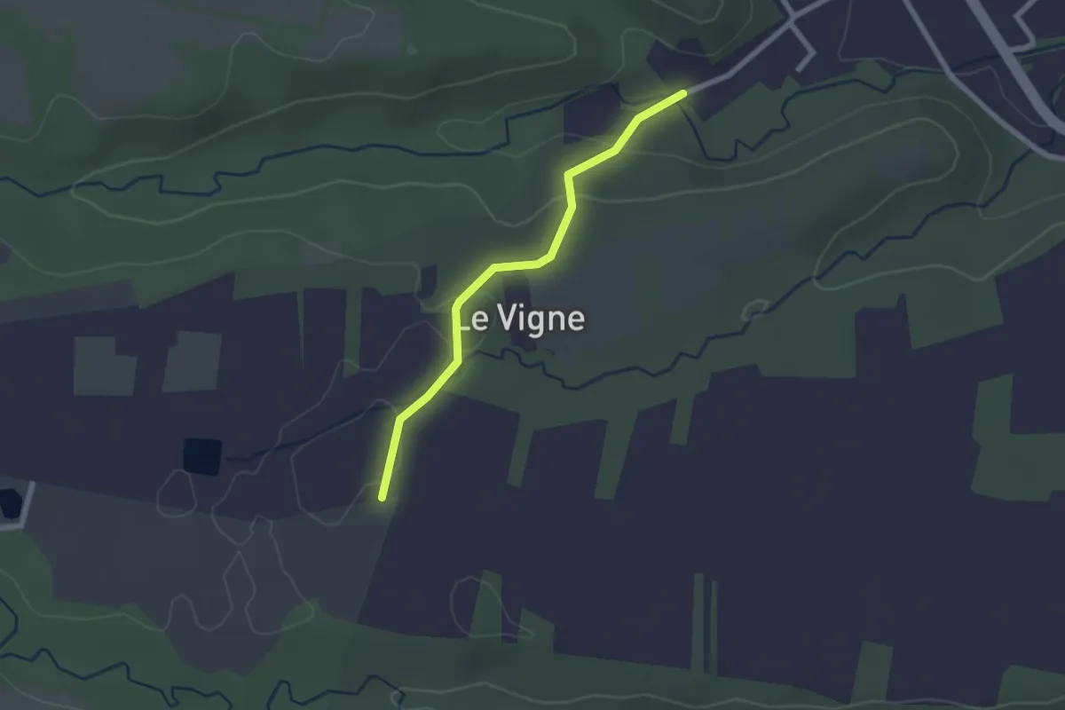
Easy · Trail
Grange di Front Bivio Via al Campo-Via Ronchi – Rivarossa Bivio Via Ronchi-Via Lessona
2.1 km · ↑ 41 m · 35 min · 14 km away
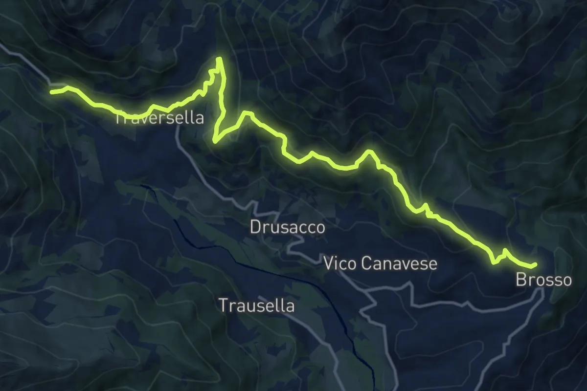
Demanding · Trail
Brosso, bivio TON723-TON721 – Traversella, Brosso, bivio TON719-723
16.9 km · ↑ 854 m · 5 h 50 min · 14 km away
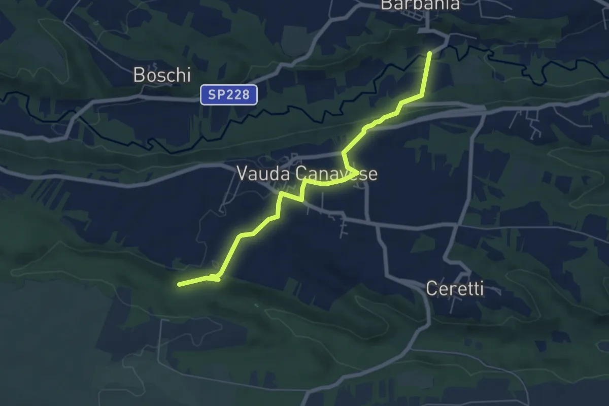
Easy · Trail
Barbania, località Fandaglia, bivio TOP142-TOP144A – San Carlo Canavese, bivio TOP144A-TOP214
6.1 km · ↑ 117 m · 1 h 42 min · 15 km away
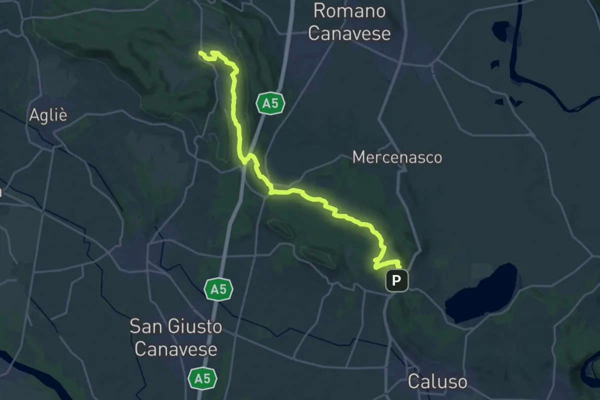
Demanding · Trail
Bivio 101-102, Candia Canavese – Bivio 101-103, Vialfré
23.1 km · ↑ 434 m · 6 h 24 min · 15 km away
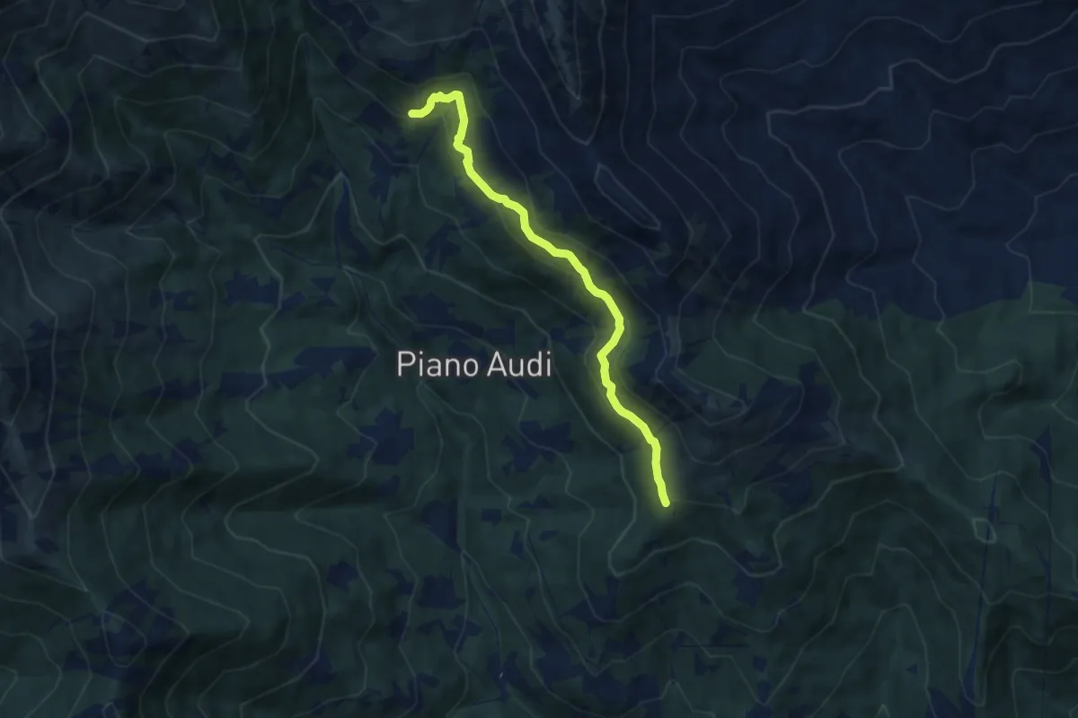
Medium · Trail
Bivio 416A-416B, Alpe Fraschei – Bivio 416B-416C
7.4 km · ↑ 450 m · 2 h 44 min · 15 km away
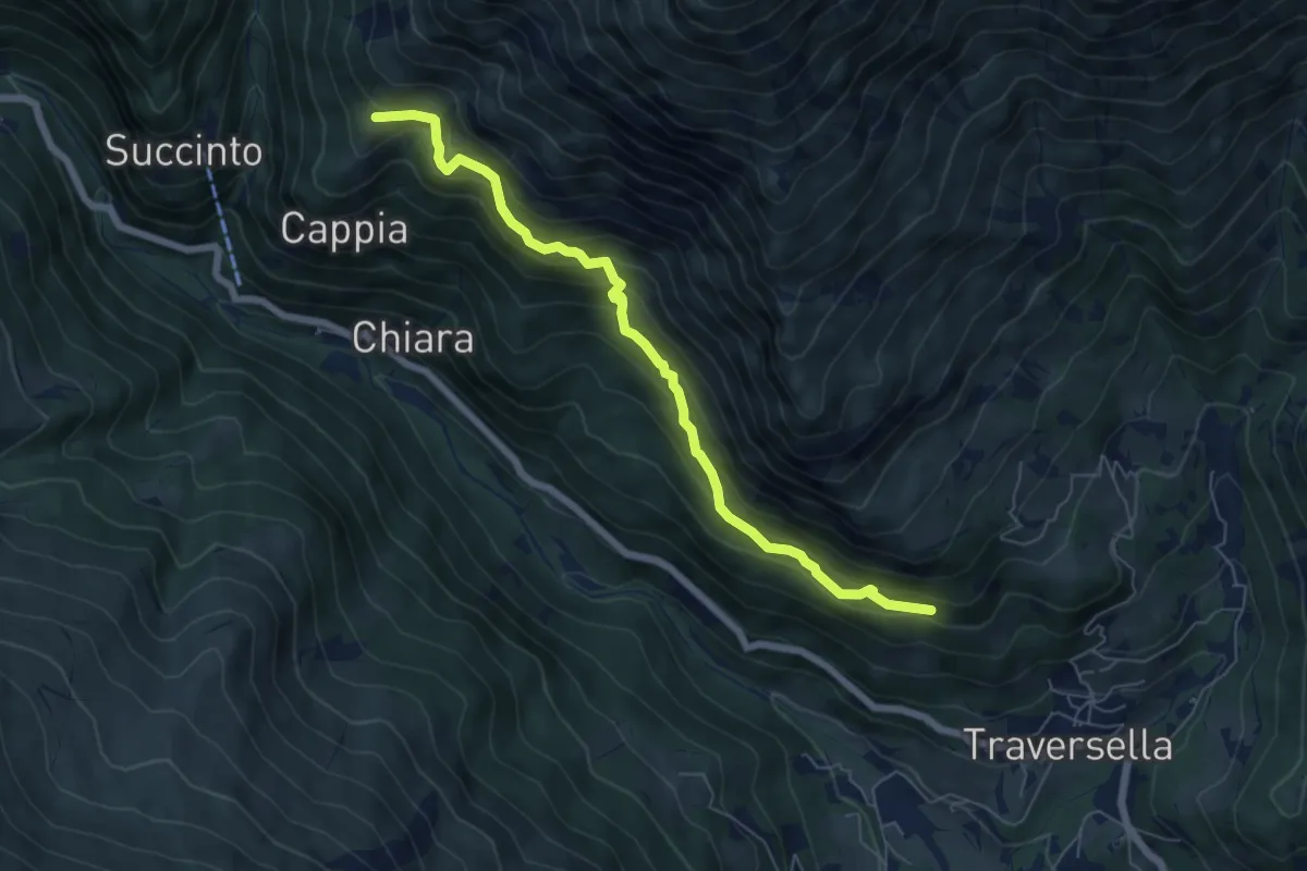
Medium · Trail
Sentiero delle Anime
6.5 km · ↑ 556 m · 2 h 45 min · 15 km away
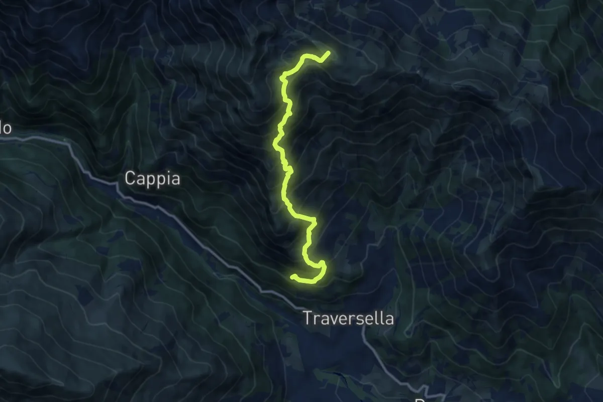
Demanding · Summit
Rifugio Bruno Piazza – Le Capanne (Quincinetto)
10.1 km · ↑ 1206 m · 5 h · 15 km away
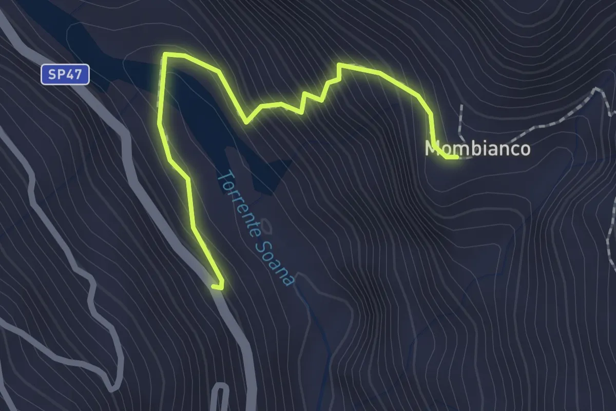
Easy · Trail
Ingria, Viretto – Rivoira, Mombianco, bivio 602
2.0 km · ↑ 215 m · 57 min · 15 km away
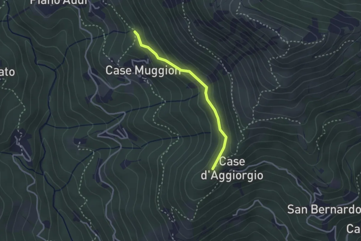
Easy · Trail
Bivio 410-410AC, Coille Matteo – Bivio 410A-416, Case Muggion
2.5 km · ↑ 114 m · 50 min · 15 km away
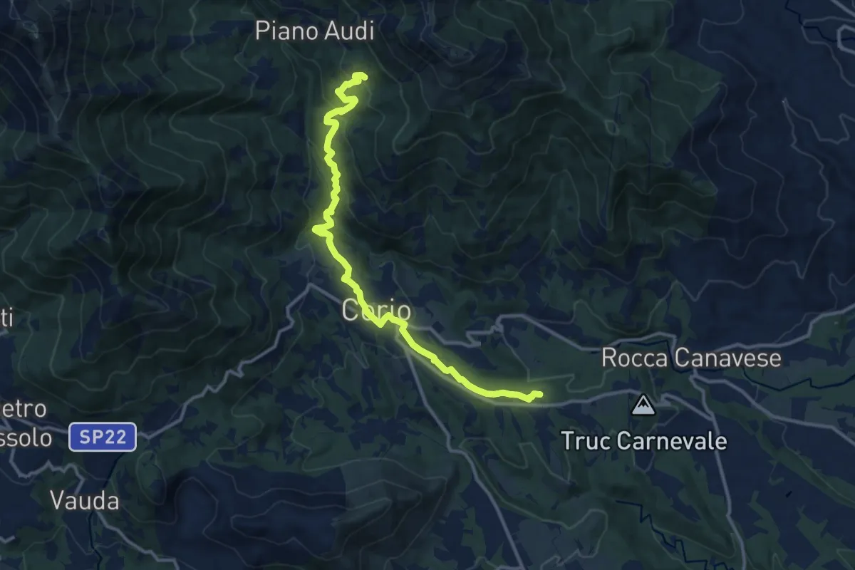
Medium · Trail
Bivio 412-415, Pescivivi – Case Fassero
12.9 km · ↑ 518 m · 4 h 10 min · 15 km away
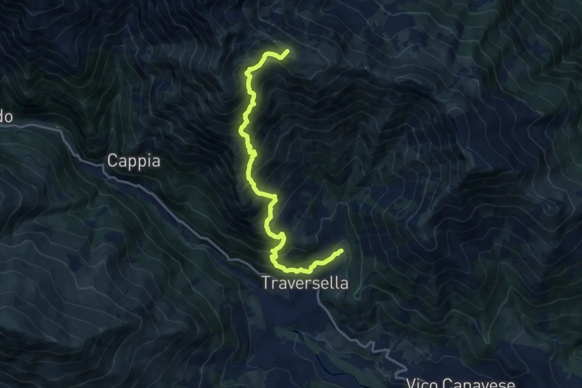
Demanding · Summit
Traversella, Schioppo (Miniere di ferro e rame) – Colle di Pian Spergiurati
12.6 km · ↑ 1385 m · 5 h 59 min · 15 km away
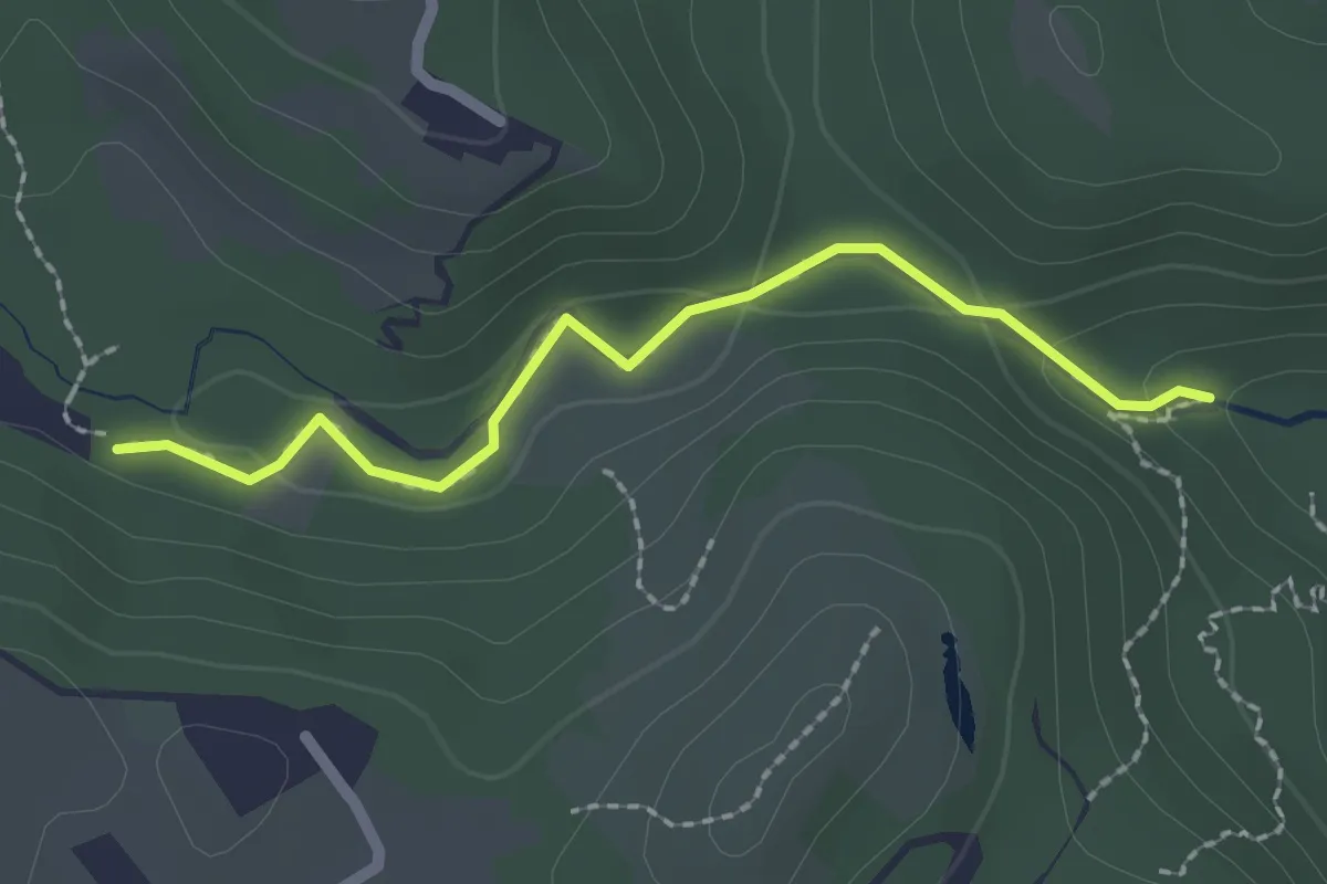
Demanding · Trail
Sentiero Canyon Fandaglia
2.1 km · ↑ 54 m · 37 min · 15 km away