Trails near Castellarano
65 hikes starting within 15 km, nearest first.
Nearest first, page 2 of 2
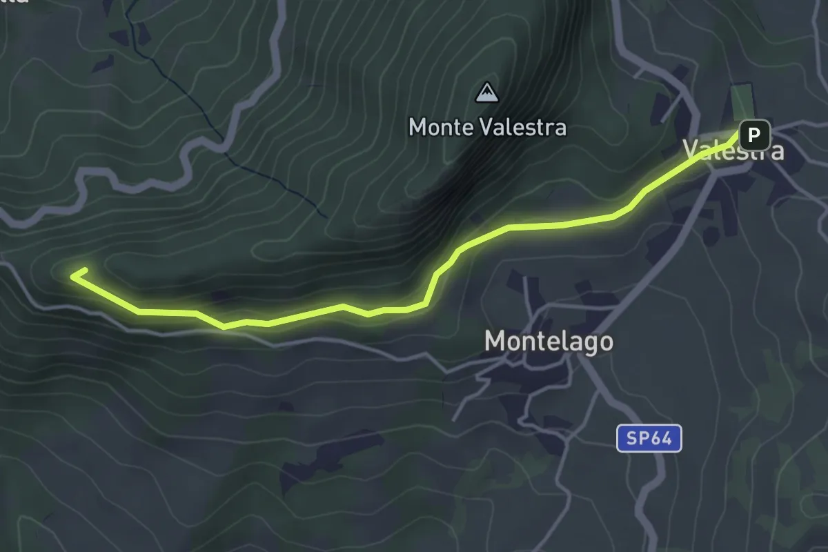
Easy · Trail
Valestra – Passo della Regina
4.3 km · ↑ 147 m · 1 h 20 min · 13 km away
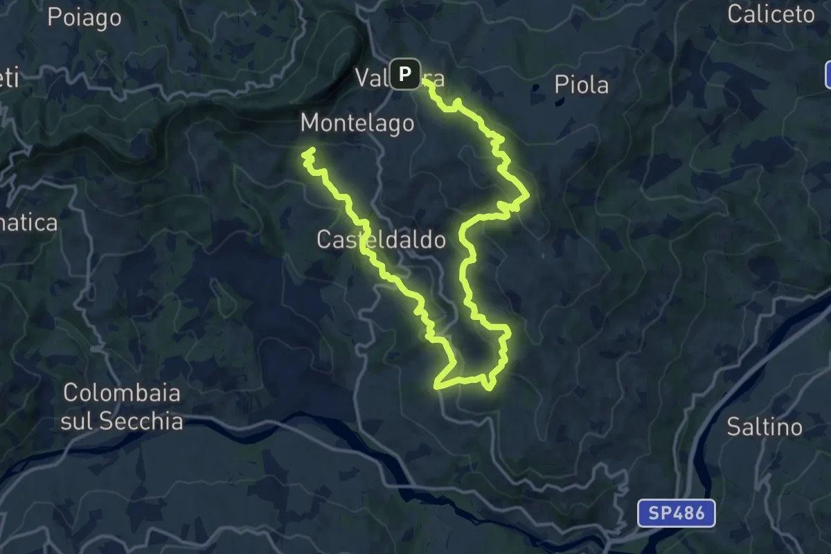
Demanding · Trail
Valestra – Marossa
23.3 km · ↑ 1018 m · 7 h 42 min · 13 km away
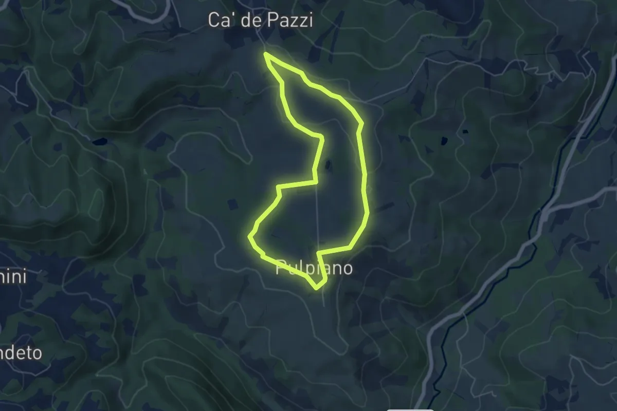
Easy · Trail
Pulpiano – Colombara – Cà de Pazzi – Pulpiano
5.0 km · ↑ 42 m · 1 h 20 min · 13 km away
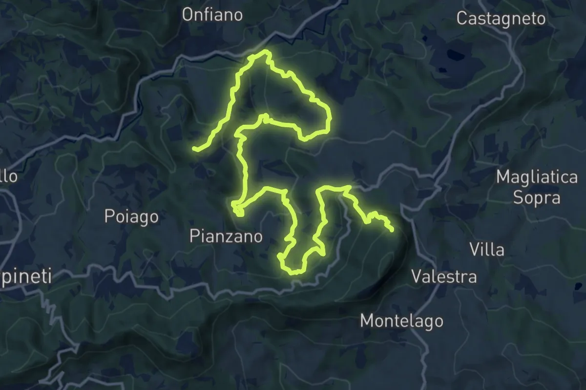
Demanding · Summit
Castello di Mandra – Monte Valestra
22.1 km · ↑ 1294 m · 8 h 1 min · 13 km away
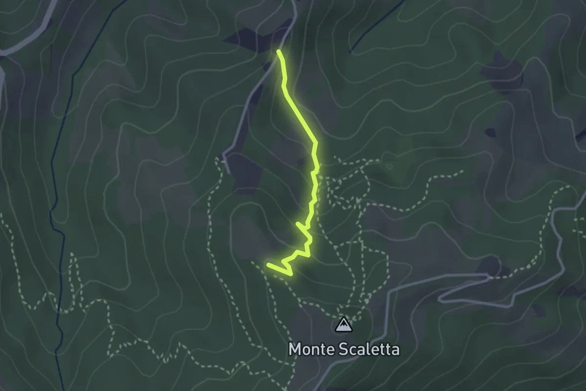
Easy · Trail
Fra Track
2.3 km · ↑ 123 m · 49 min · 13 km away
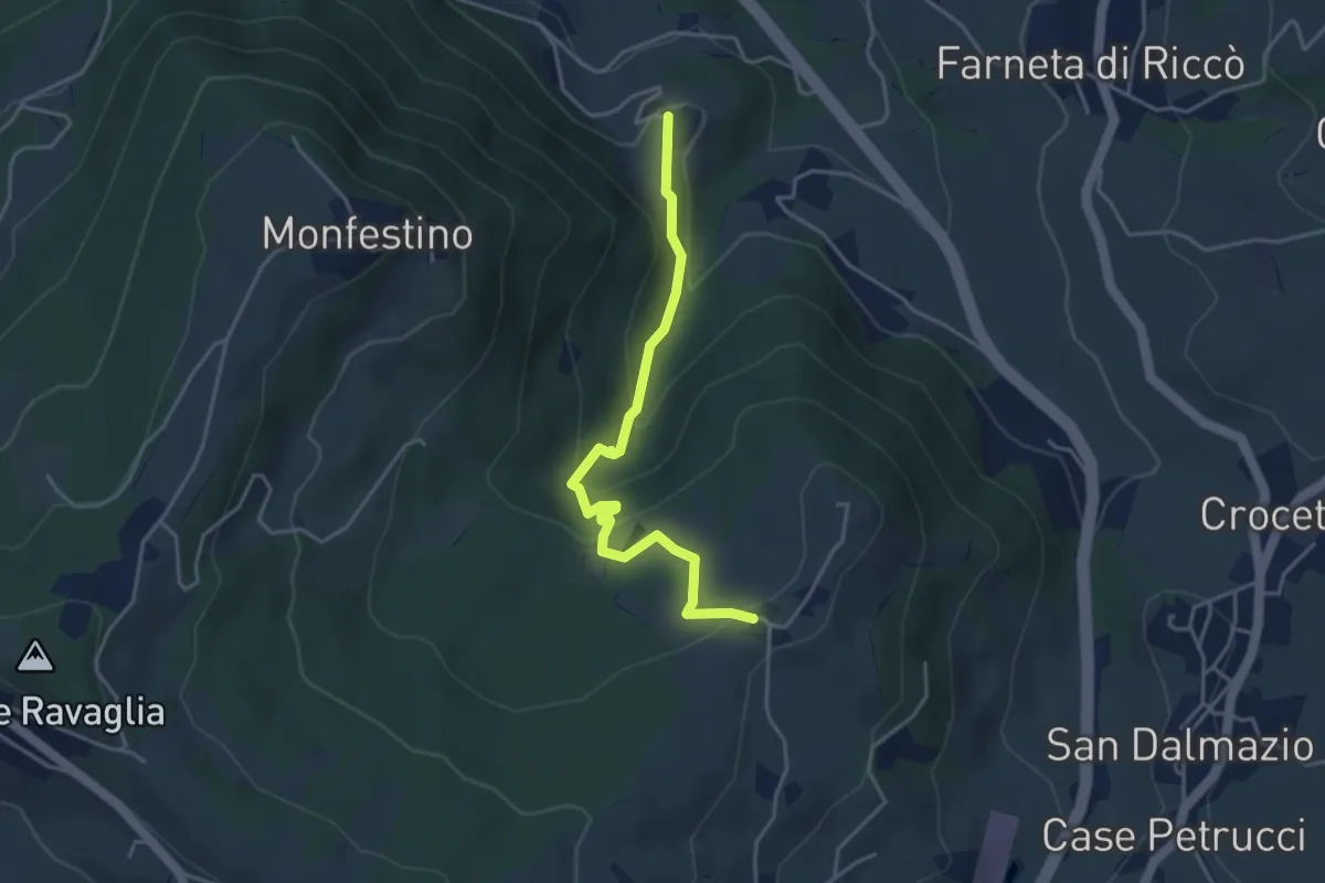
Medium · Trail
Granarolo – Casa Alfieri
4.2 km · ↑ 227 m · 1 h 28 min · 13 km away
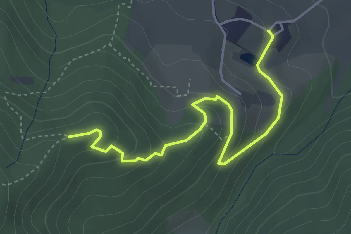
Easy · Trail
Cavazzone – Percorso 622A
4.0 km · ↑ 202 m · 1 h 23 min · 14 km away
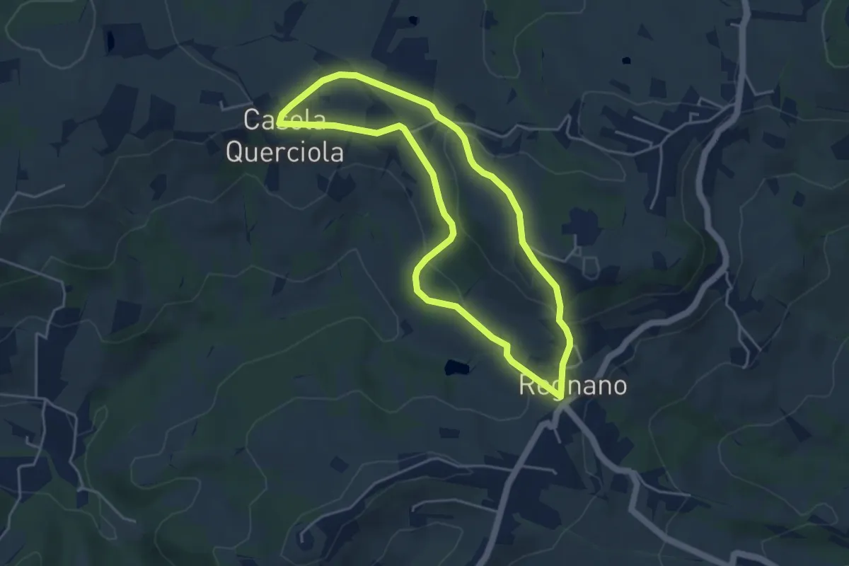
Easy · Trail
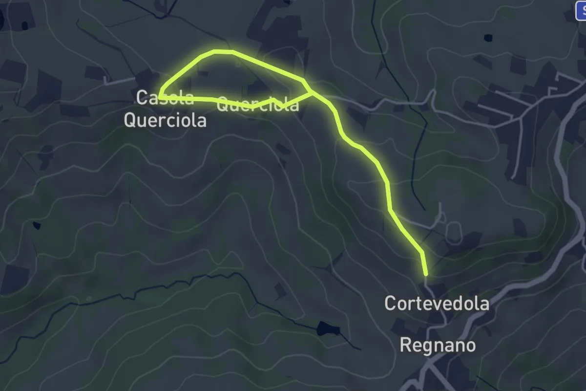
Regnano – Casola querciola – Regnano
4.2 km · ↑ 116 m · 1 h 18 min · 14 km away
Easy · Trail
Salsa di Casola – Percorso 616
4.9 km · ↑ 108 m · 1 h 23 min · 14 km away
Medium · Trail
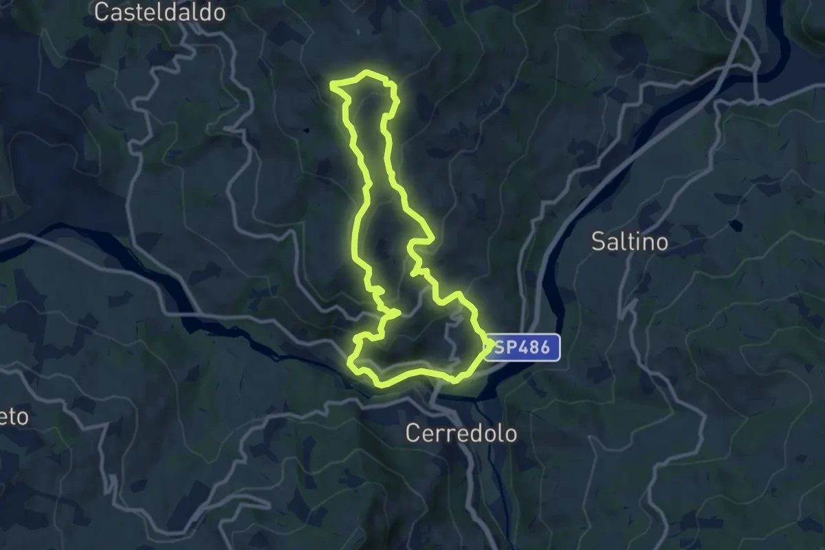
Ponte Secchia – Ponte Secchia
9.7 km · ↑ 459 m · 3 h 25 min · 14 km away
Medium · Trail
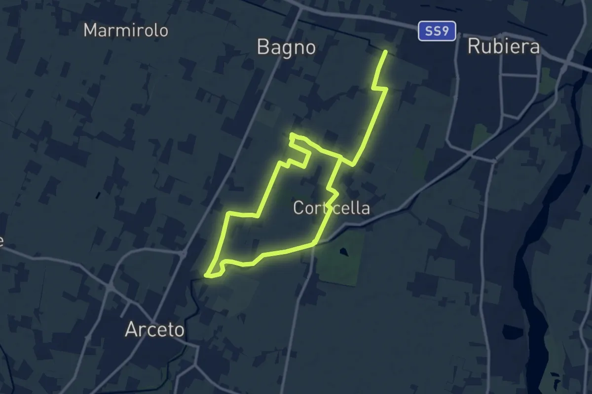
Anello di Corticella
17.5 km · ↑ 21 m · 4 h 11 min · 15 km away
Easy · Trail
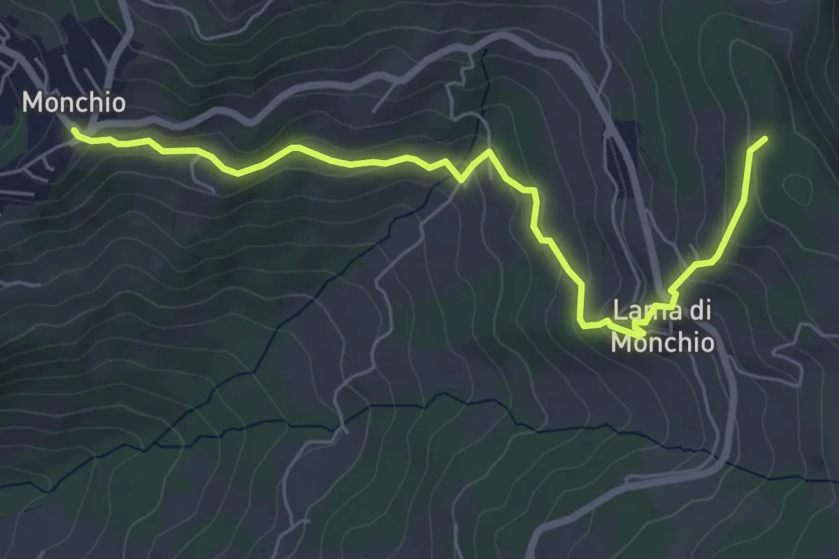
Monchio – Percorso 574
6.3 km · ↑ 286 m · 2 h 6 min · 15 km away
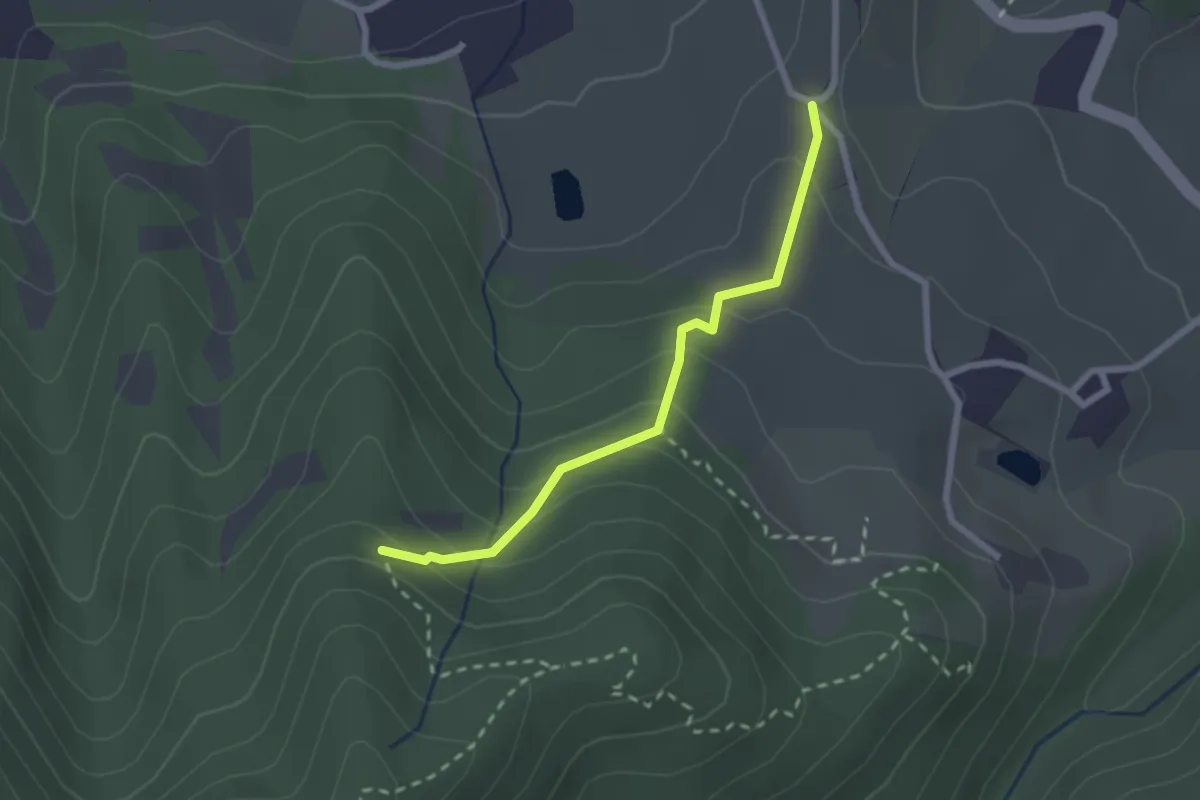
Medium · Trail
Percorso 622 – Percorso 622A
2.3 km · ↑ 151 m · 52 min · 15 km away
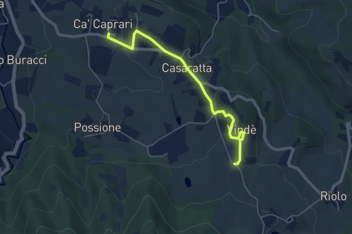
Easy · Trail
Ca' Caprari – Percorso 622
4.2 km · ↑ 100 m · 1 h 12 min · 15 km away
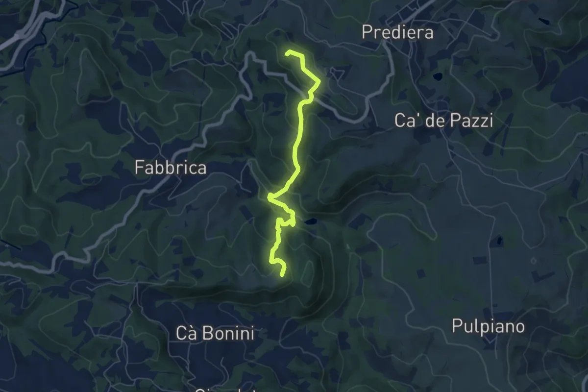
Easy · Summit
Casa Mazzoni – Monte delle Ripe
5.8 km · ↑ 318 m · 2 h 4 min · 15 km away
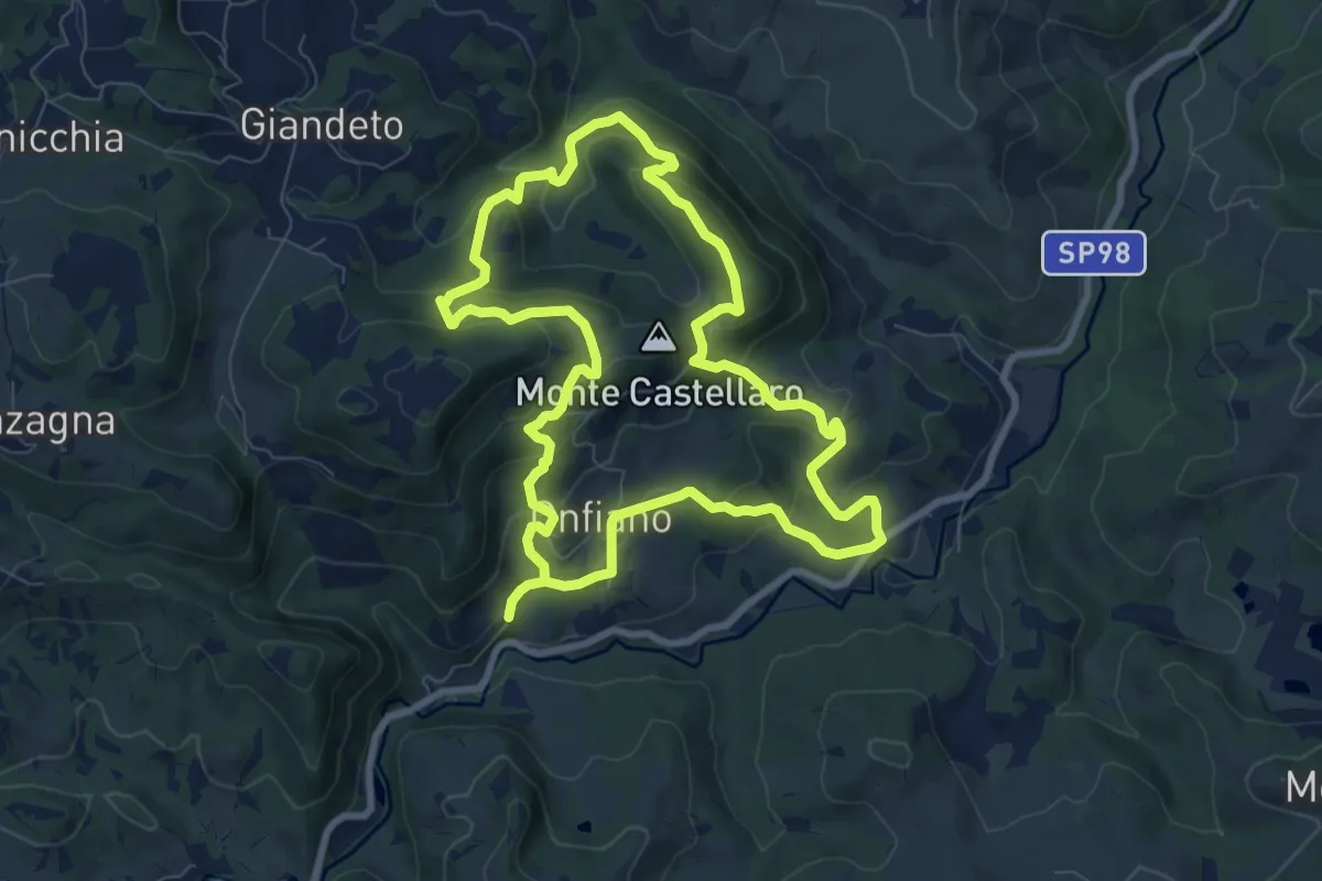
Medium · Trail
Cerpiano – Cerpiano
8.4 km · ↑ 479 m · 3 h 7 min · 15 km away
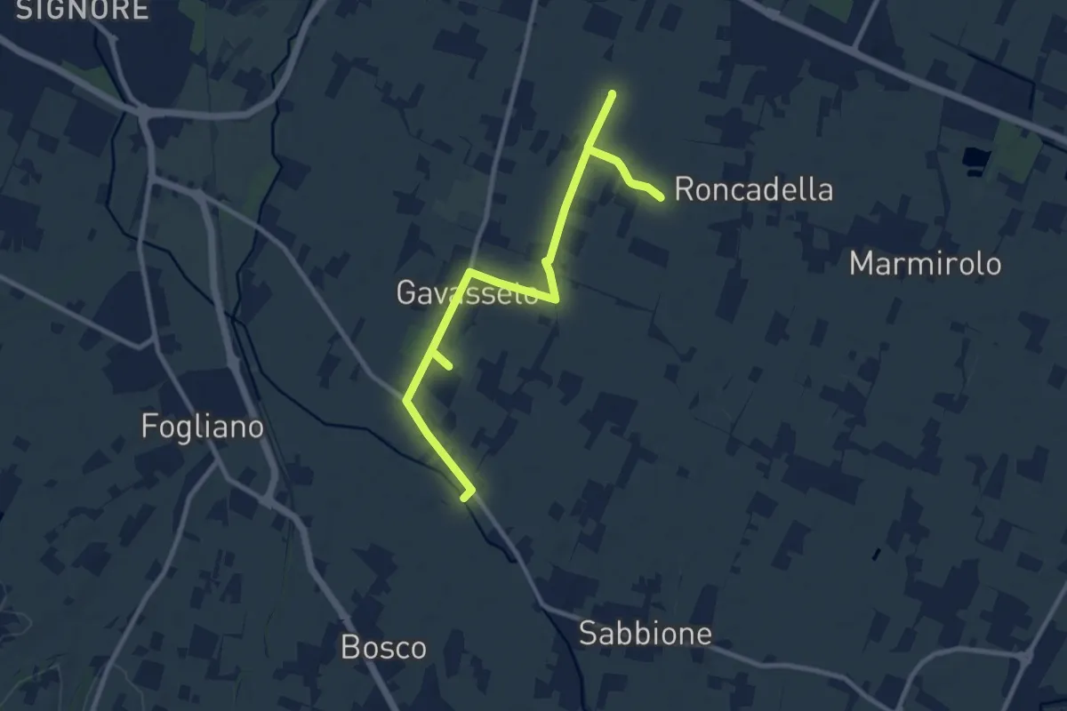
Medium · Trail
Diramazione di Gavasseto
12.1 km · ↑ 13 m · 2 h 53 min · 15 km away