Trails near Castelnuovo Magra
182 hikes starting within 15 km, nearest first.
Nearest first, page 1 of 4
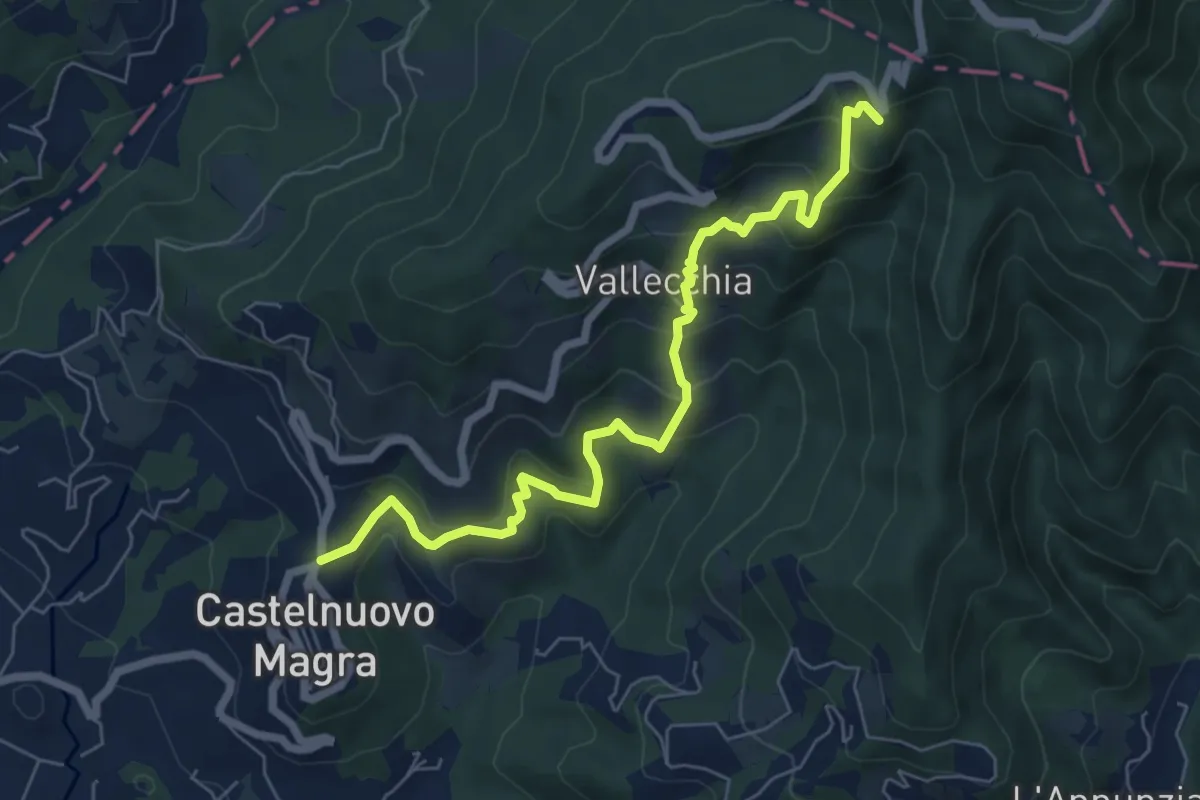
Medium · Trail
Castelnuovo Magra – Case Bertella
7.3 km · ↑ 567 m · 2 h 57 min · under 1 km away
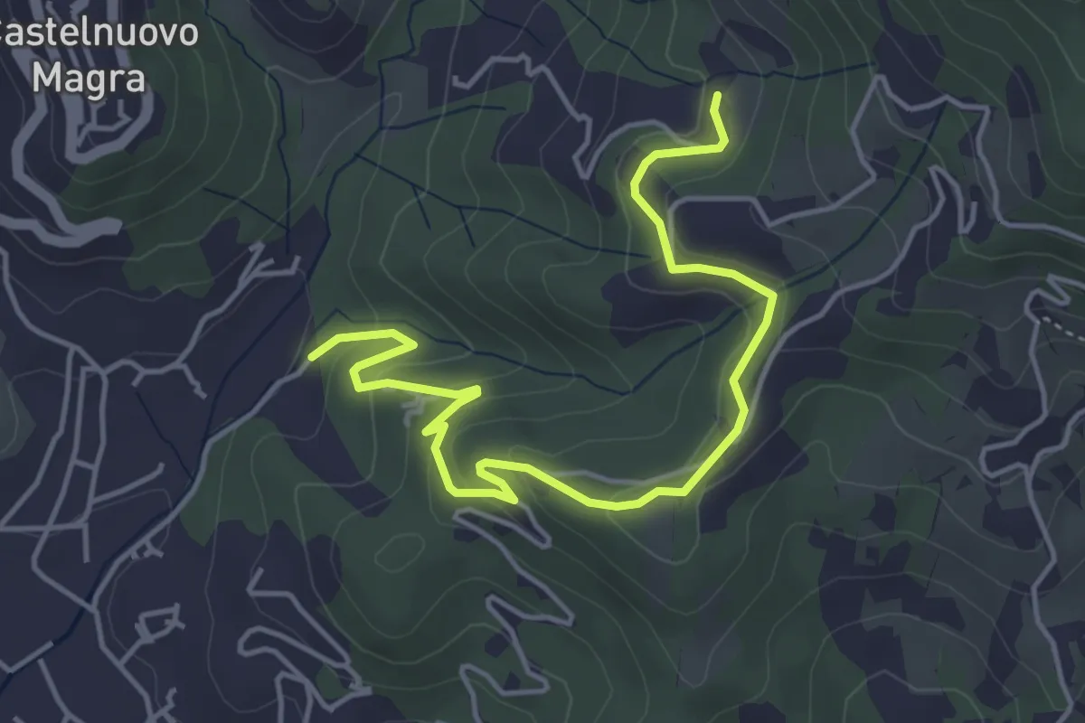
Easy · Trail
Bivio Molino Dogliotti - Marciano
5.4 km · ↑ 211 m · 1 h 44 min · 1 km away
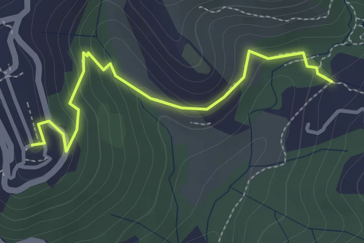
Easy · Trail
Sentiero 301 – Sentiero 302
2.6 km · ↑ 109 m · 50 min · 1 km away
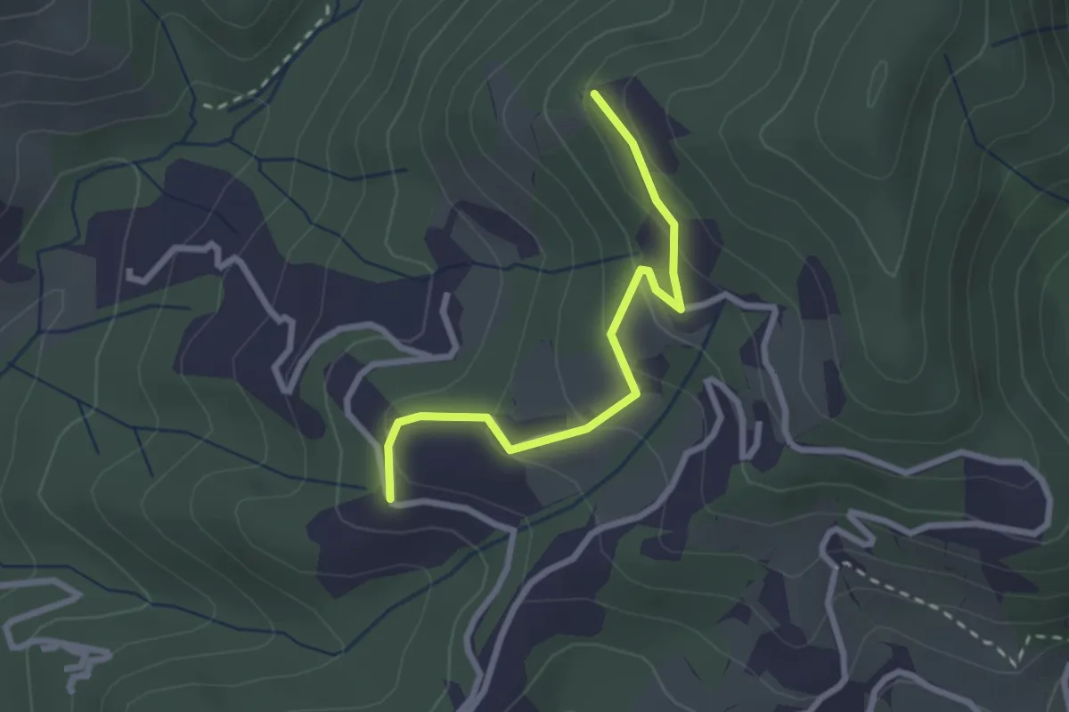
Easy · Trail
Santa Rosa (Percorso 308) – Orbagnano di Sopra
2.5 km · ↑ 130 m · 52 min · 1 km away
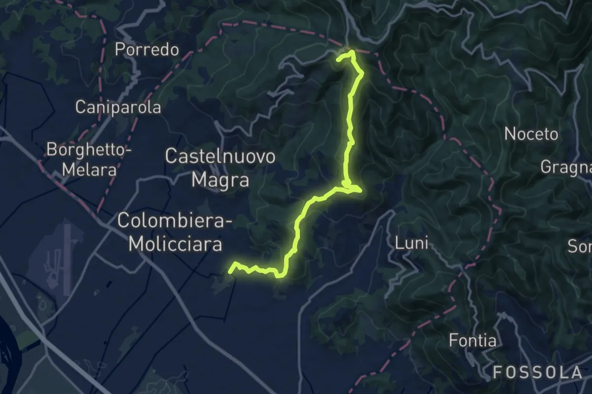
Medium · Trail
Coll. VF - Olmarello - Sarticola – Monticello – C. Bertella
12.1 km · ↑ 625 m · 4 h 13 min · 2 km away
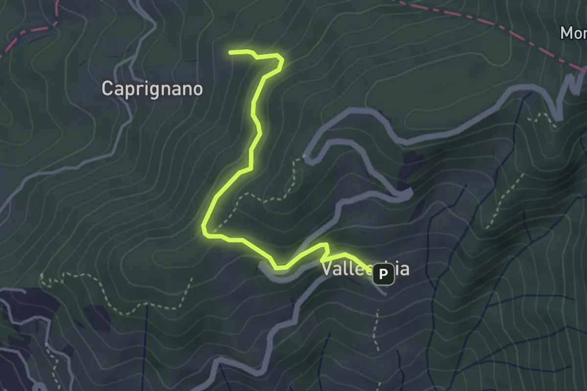
Easy · Trail
Vallecchia – M. Doglio - Il Tofo
3.5 km · ↑ 180 m · 1 h 14 min · 2 km away
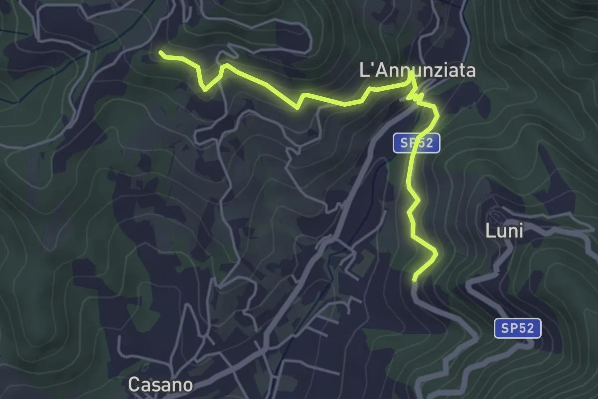
Easy · Trail
Santa Maria – Noceto
4.7 km · ↑ 307 m · 1 h 46 min · 2 km away
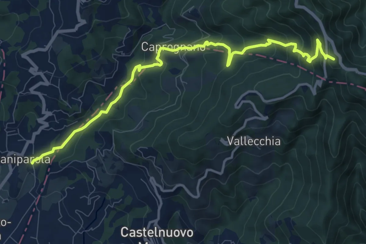
Medium · Summit
Caniparola – Strada Provinciale 51 - SP73
11.0 km · ↑ 629 m · 3 h 57 min · 2 km away
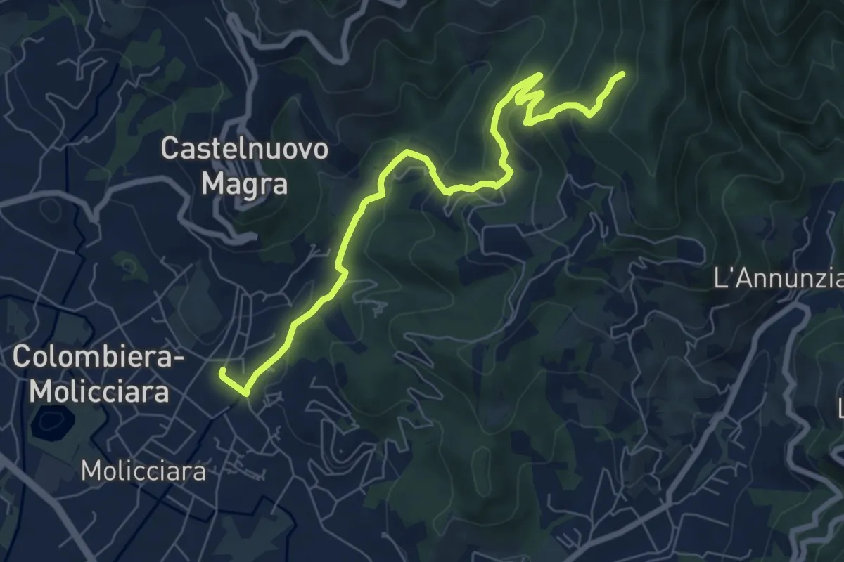
Medium · Trail
Molino del Piano – Vallecchia
7.9 km · ↑ 388 m · 2 h 43 min · 2 km away
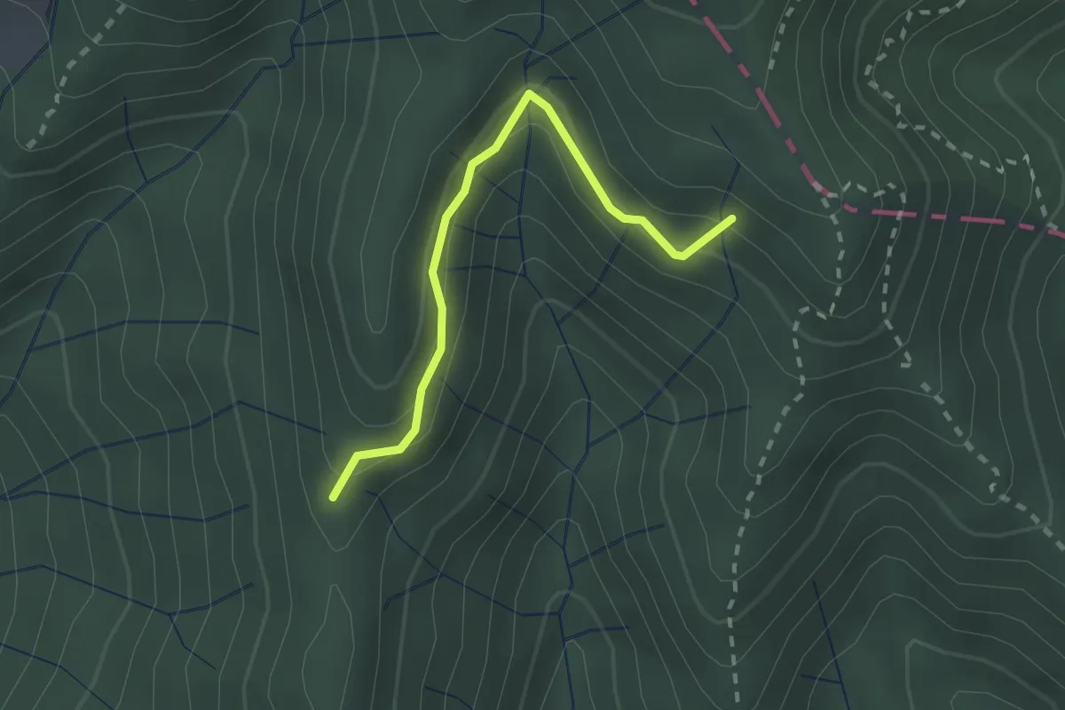
Easy · Trail
Percorso 373 – Percorso 304
2.2 km · ↑ 131 m · 48 min · 2 km away
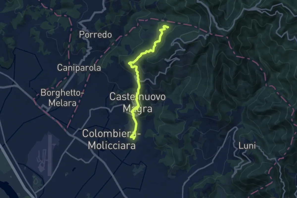
Medium · Trail
M.no del Piano - Castelnuovo Magra - Casala
9.1 km · ↑ 572 m · 3 h 23 min · 2 km away
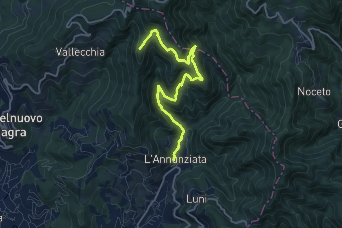
Medium · Trail
Percorso 364 - Località Annunziata – Percorso 304
9.3 km · ↑ 643 m · 3 h 36 min · 2 km away
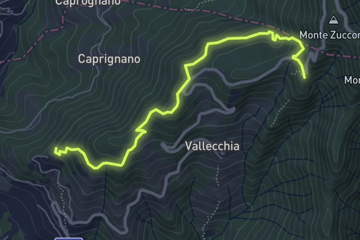
Medium · Trail
Monte Doglio – Case Bertella
6.4 km · ↑ 363 m · 2 h 18 min · 2 km away
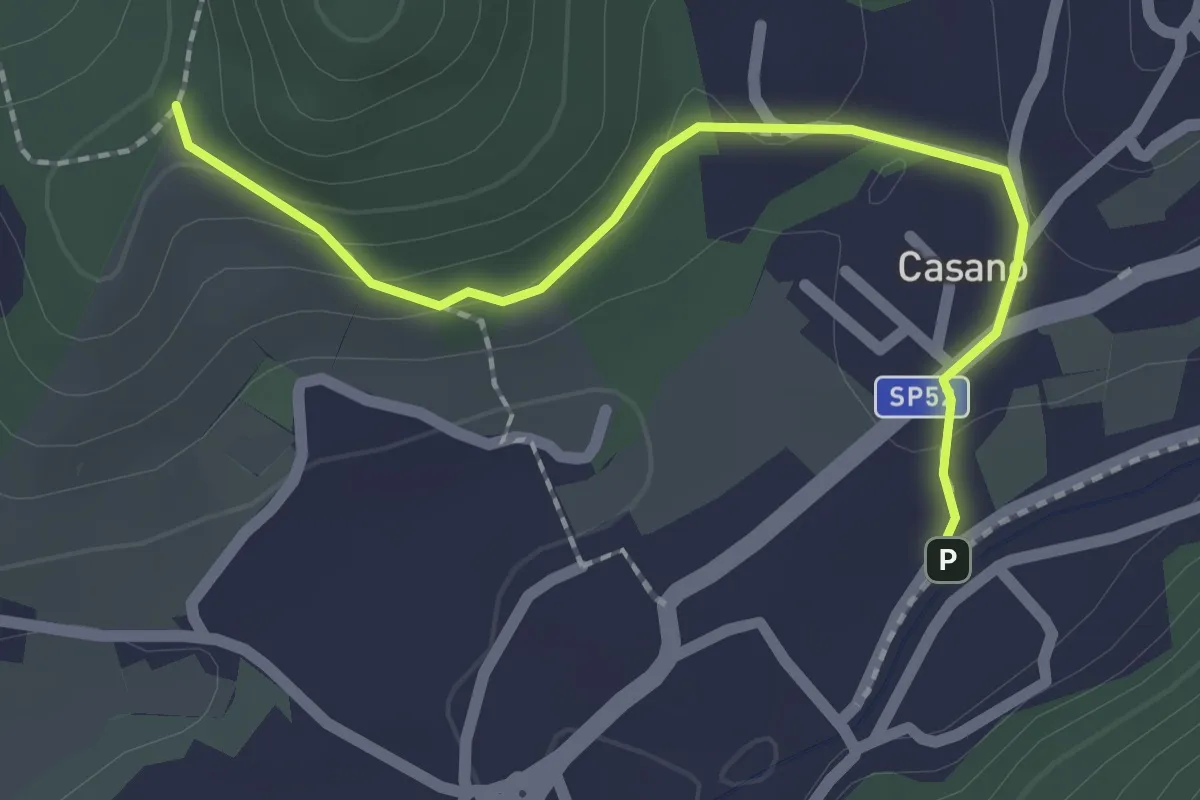
Easy · Trail
Serravalle – Monte dei Frati
2.2 km · ↑ 63 m · 40 min · 3 km away
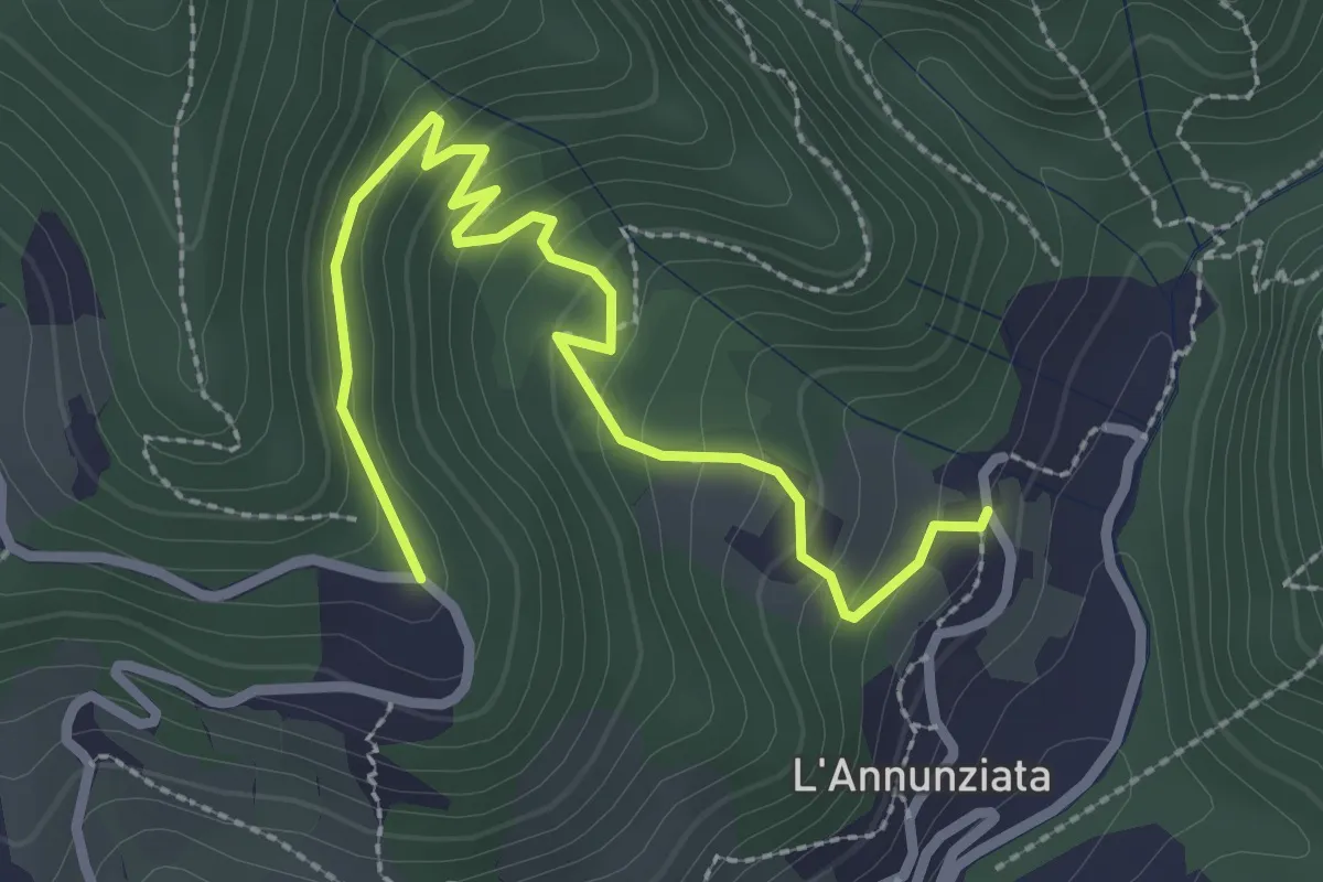
Easy · Trail
Percorso 373 – Percorso 304
3.2 km · ↑ 217 m · 1 h 14 min · 3 km away
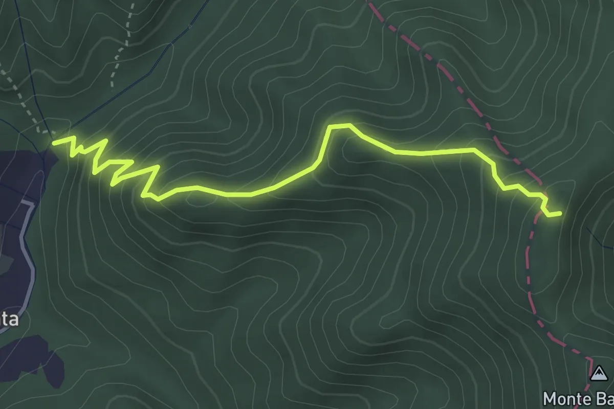
Medium · Trail
Molino del Lucco – Volpiglione
4.1 km · ↑ 419 m · 1 h 53 min · 3 km away
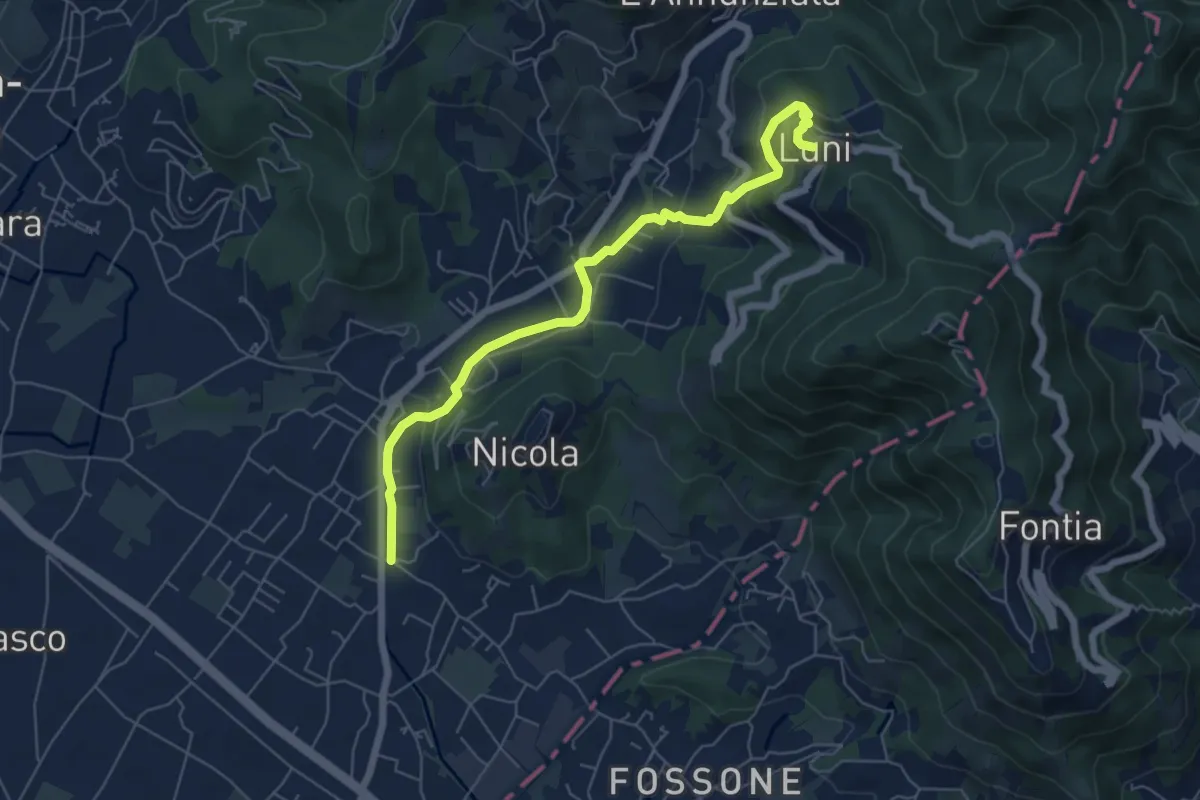
Easy · Trail
Isola - Lungo Parmignola - Ortonovo
6.6 km · ↑ 264 m · 2 h 8 min · 3 km away
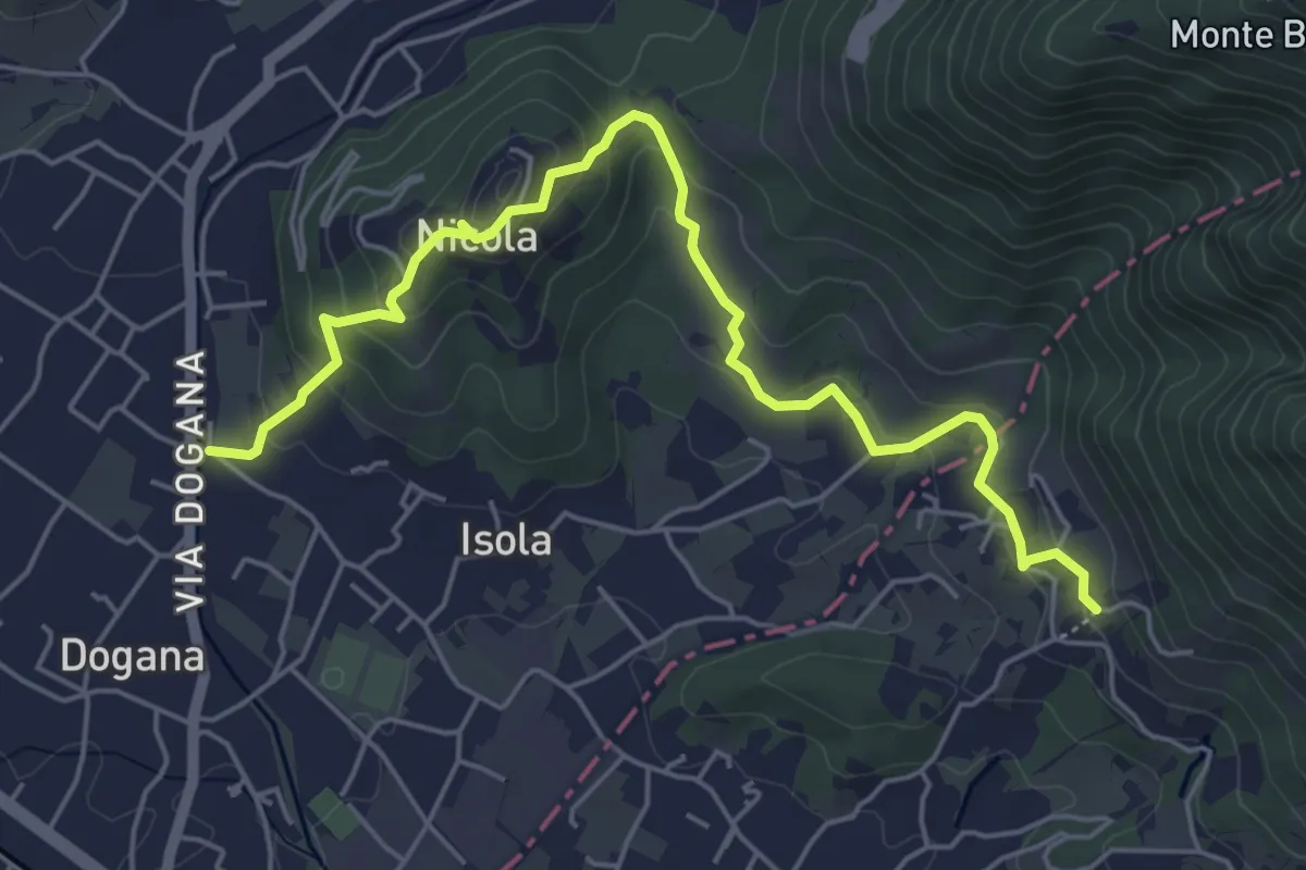
Easy · Trail
Isola – Fossola
6.3 km · ↑ 287 m · 2 h 6 min · 3 km away
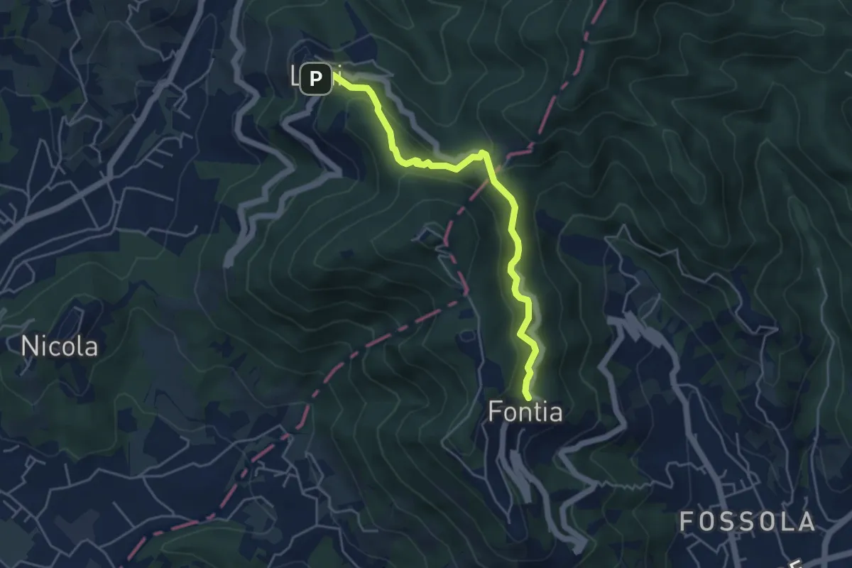
Easy · Trail
Ortonovo – Percorso 362
4.6 km · ↑ 238 m · 1 h 37 min · 3 km away
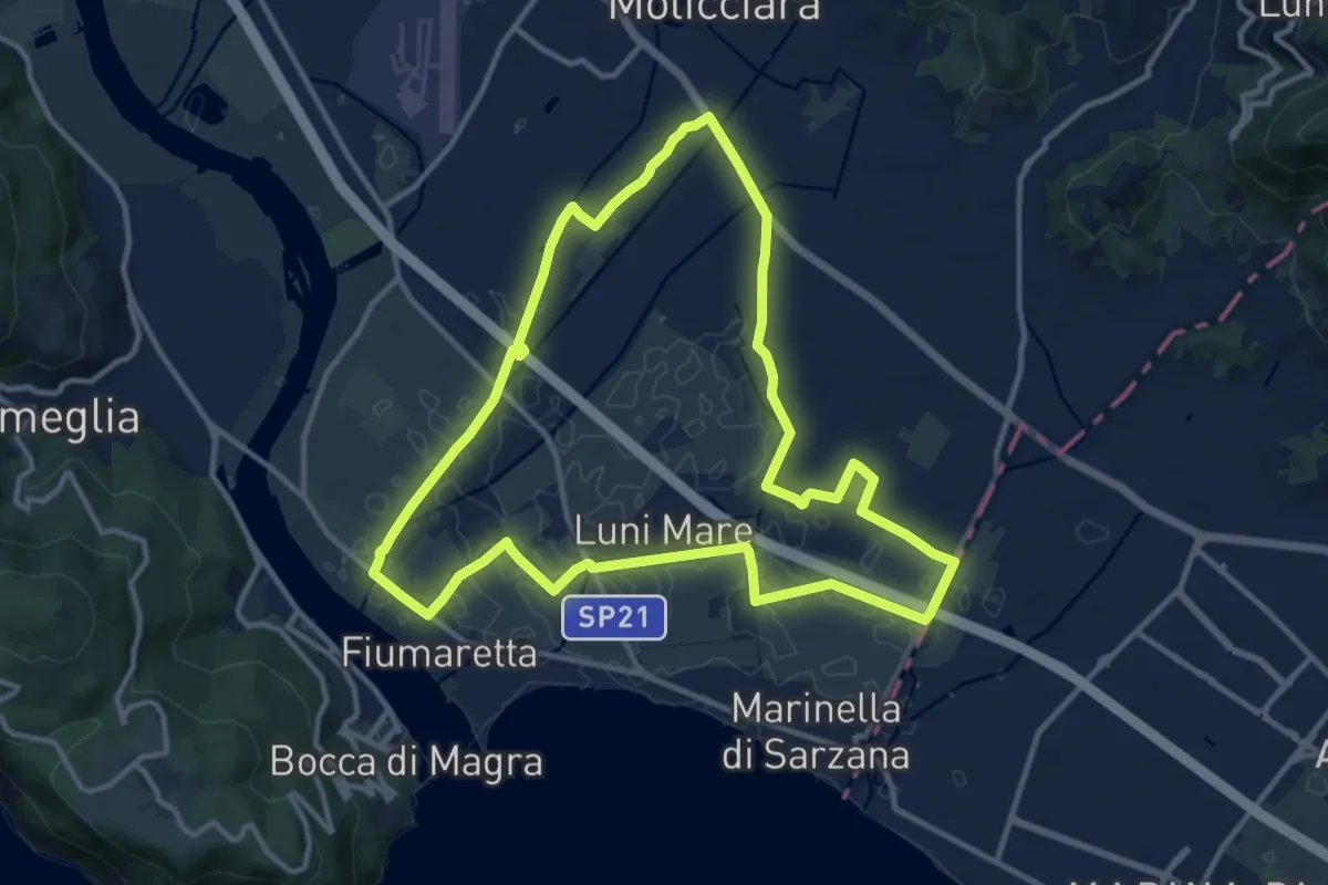
Medium · Trail
Sentiero Liguria - Tappa 0
12.9 km · ↑ 9 m · 3 h 15 min · 4 km away
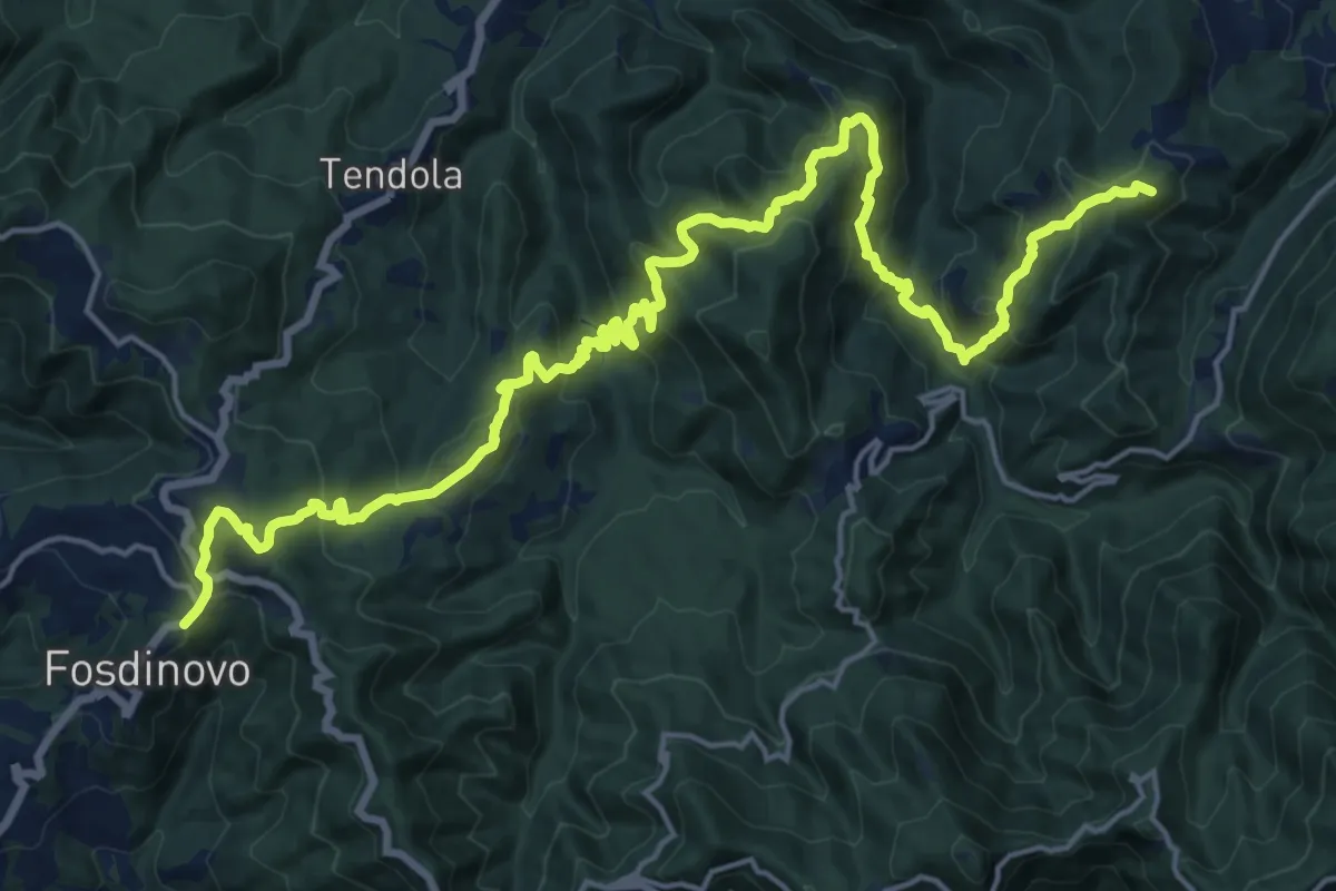
Demanding · Summit
Trekking Lunigiana 12
24.6 km · ↑ 1378 m · 8 h 48 min · 4 km away
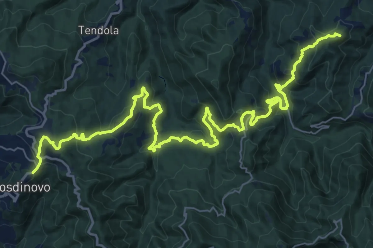
Demanding · Summit
Sentiero dei Ducati Tappa 11
28.7 km · ↑ 1420 m · 9 h 51 min · 4 km away
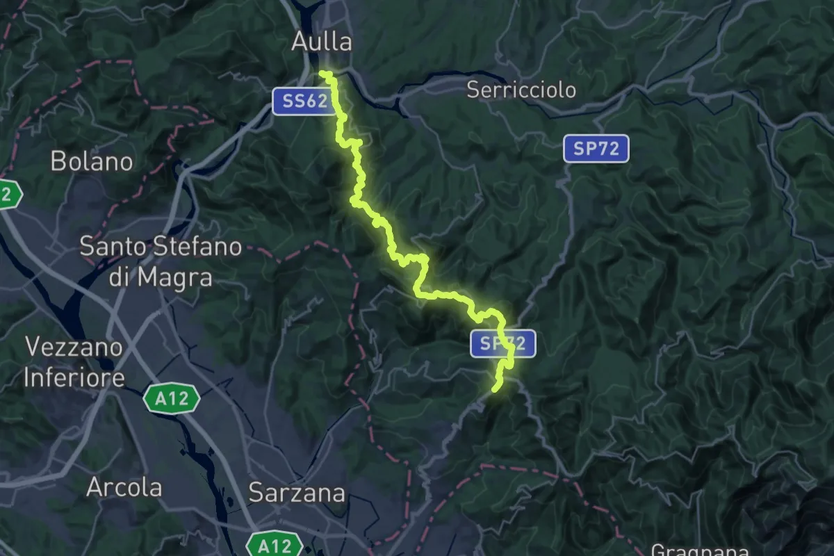
Demanding · Trail
Trekking Lunigiana 13
15.3 km · ↑ 597 m · 5 h 19 min · 4 km away
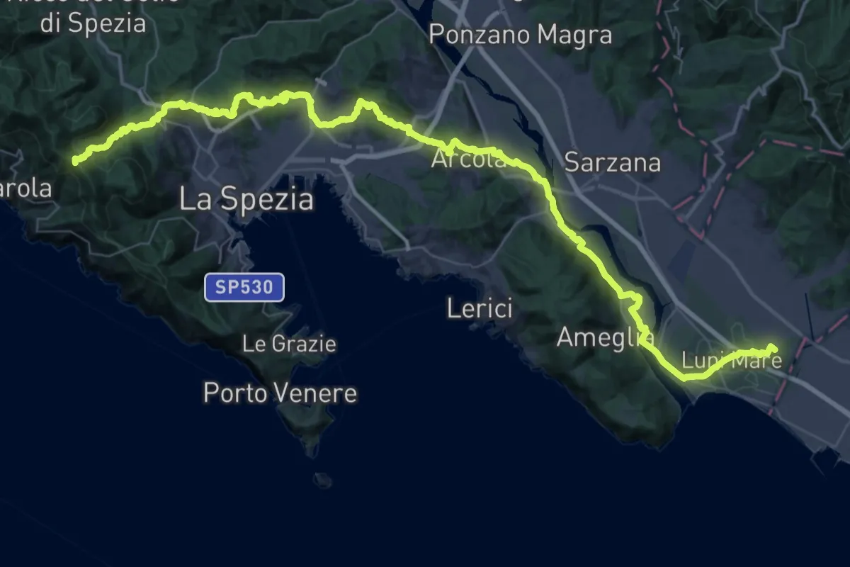
Expert · Summit
Via della Costa - Tappa 12
65.8 km · ↑ 1657 m · 19 h 7 min · 4 km away
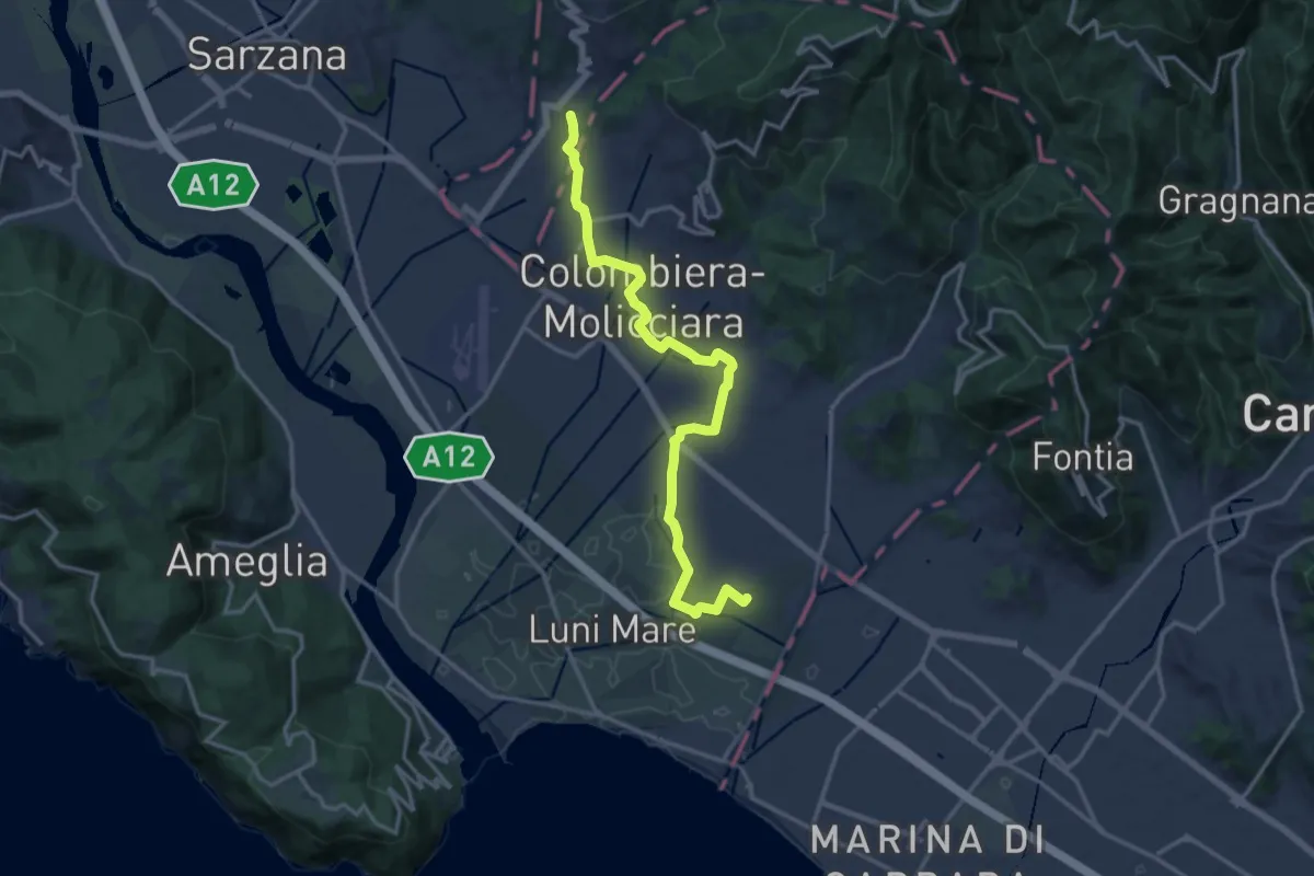
Medium · Trail
Sentiero dei Ducati Variante Luni
16.3 km · ↑ 61 m · 3 h 59 min · 4 km away
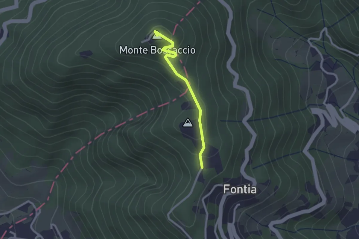
Easy · Summit
Percorso 370 – Percorso 368
2.0 km · ↑ 87 m · 39 min · 4 km away
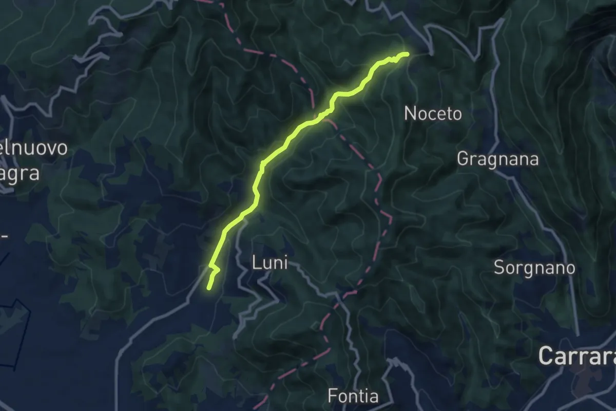
Medium · Trail
Casano – Castelpoggio
7.9 km · ↑ 432 m · 2 h 49 min · 5 km away
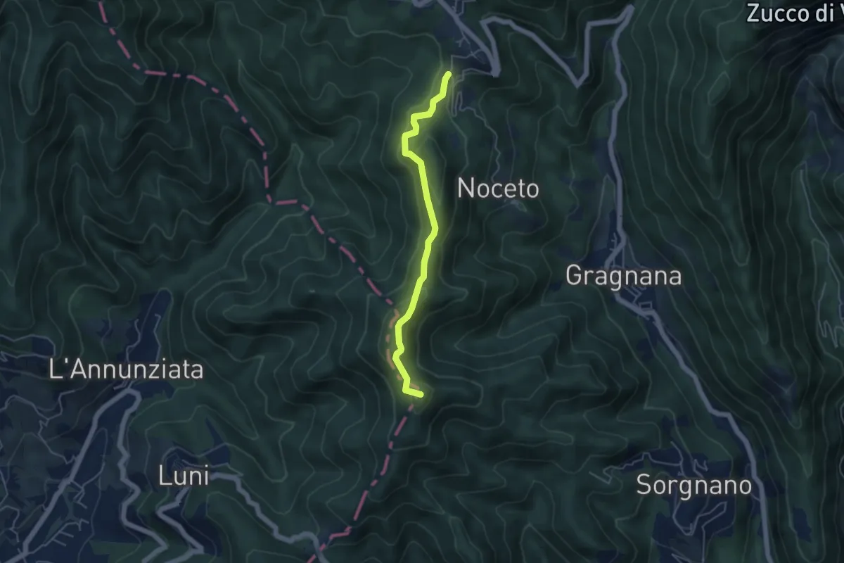
Easy · Summit
Ortonovo – Castelpoggio
4.5 km · ↑ 206 m · 1 h 30 min · 5 km away
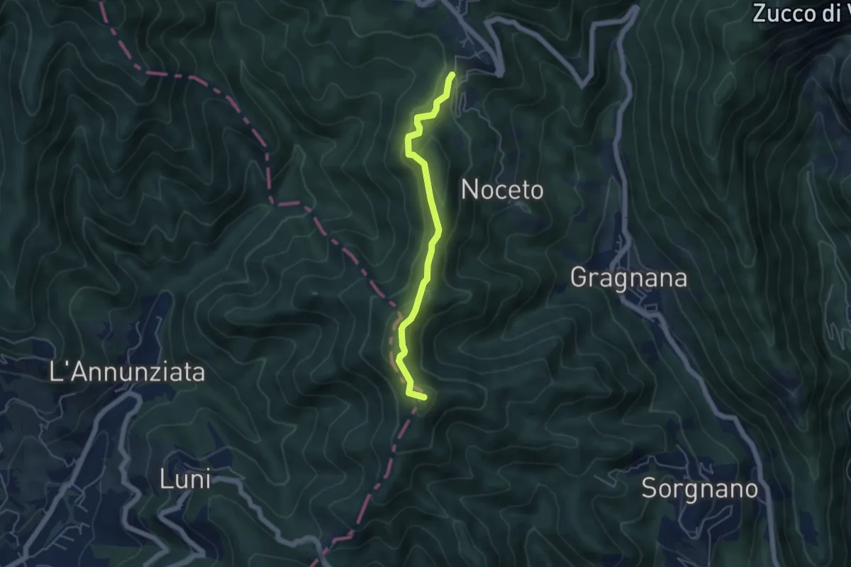
Easy · Summit
Cammino di Aronte - Tappa 2
4.5 km · ↑ 206 m · 1 h 30 min · 5 km away
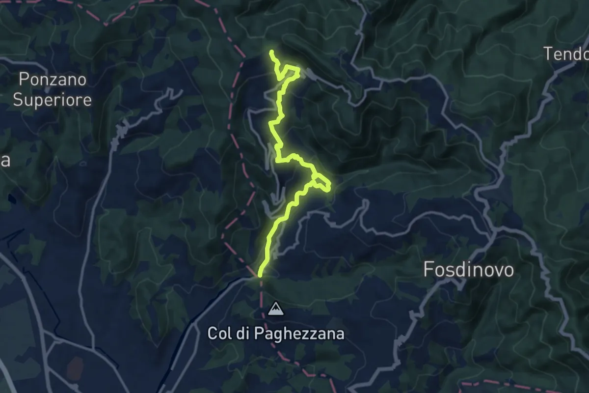
Demanding · Trail
Ponte Fabiano – Percorso 290
11.4 km · ↑ 536 m · 3 h 51 min · 5 km away
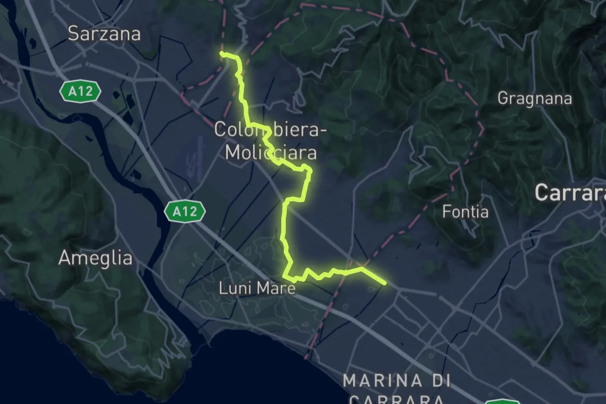
Medium · Pilgrim path
Via Francigena - 06 Toscana
10.5 km · ↑ 63 m · 2 h 44 min · 5 km away
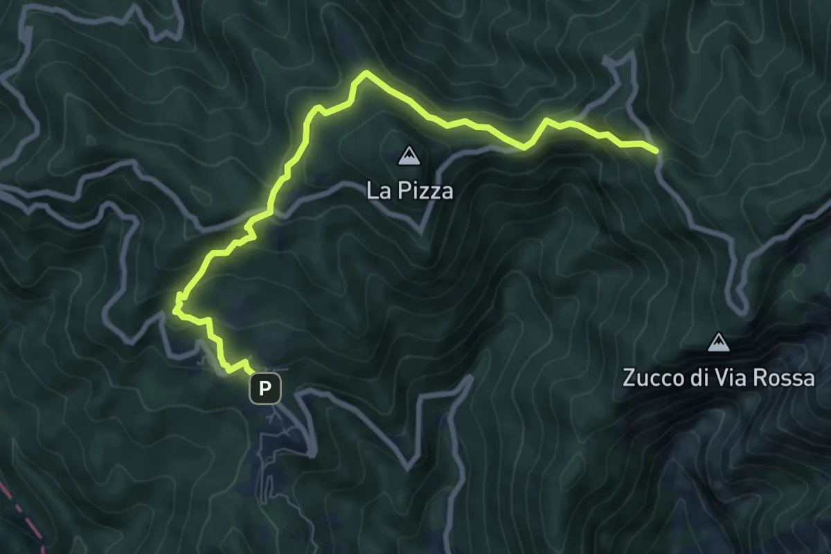
Medium · Trail
Castelpoggio – Gabellaccia
8.4 km · ↑ 454 m · 2 h 58 min · 5 km away
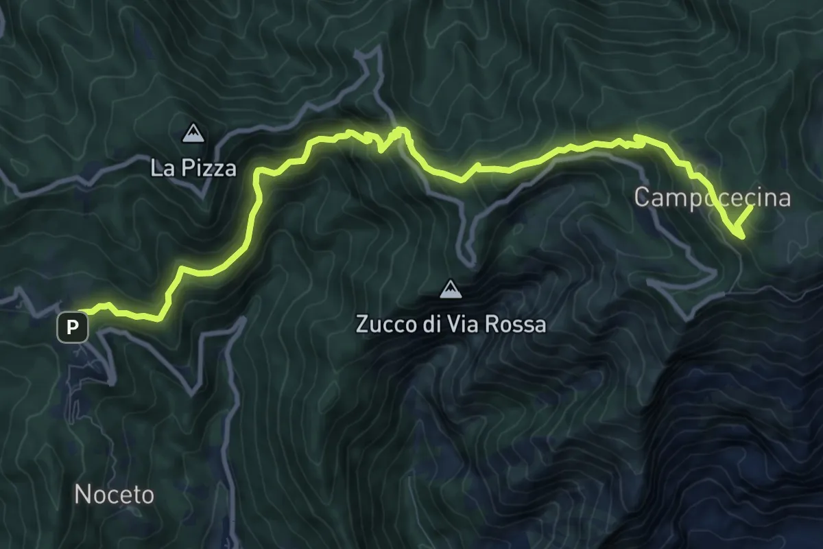
Demanding · Summit
Castelpoggio – Rifugio Carrara
12.1 km · ↑ 946 m · 4 h 55 min · 5 km away
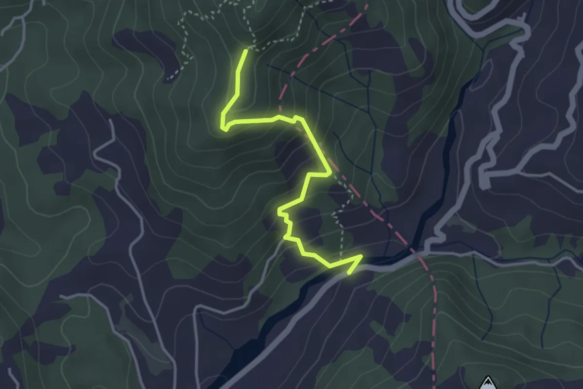
Easy · Trail
Via dei Molini – Percorso 325 - Prulla
3.3 km · ↑ 276 m · 1 h 23 min · 5 km away
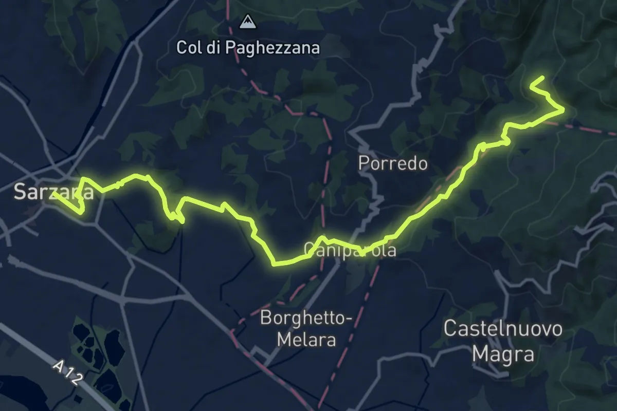
Medium · Trail
Sentiero dei Ducati Tappa 12
16.9 km · ↑ 465 m · 5 h · 5 km away
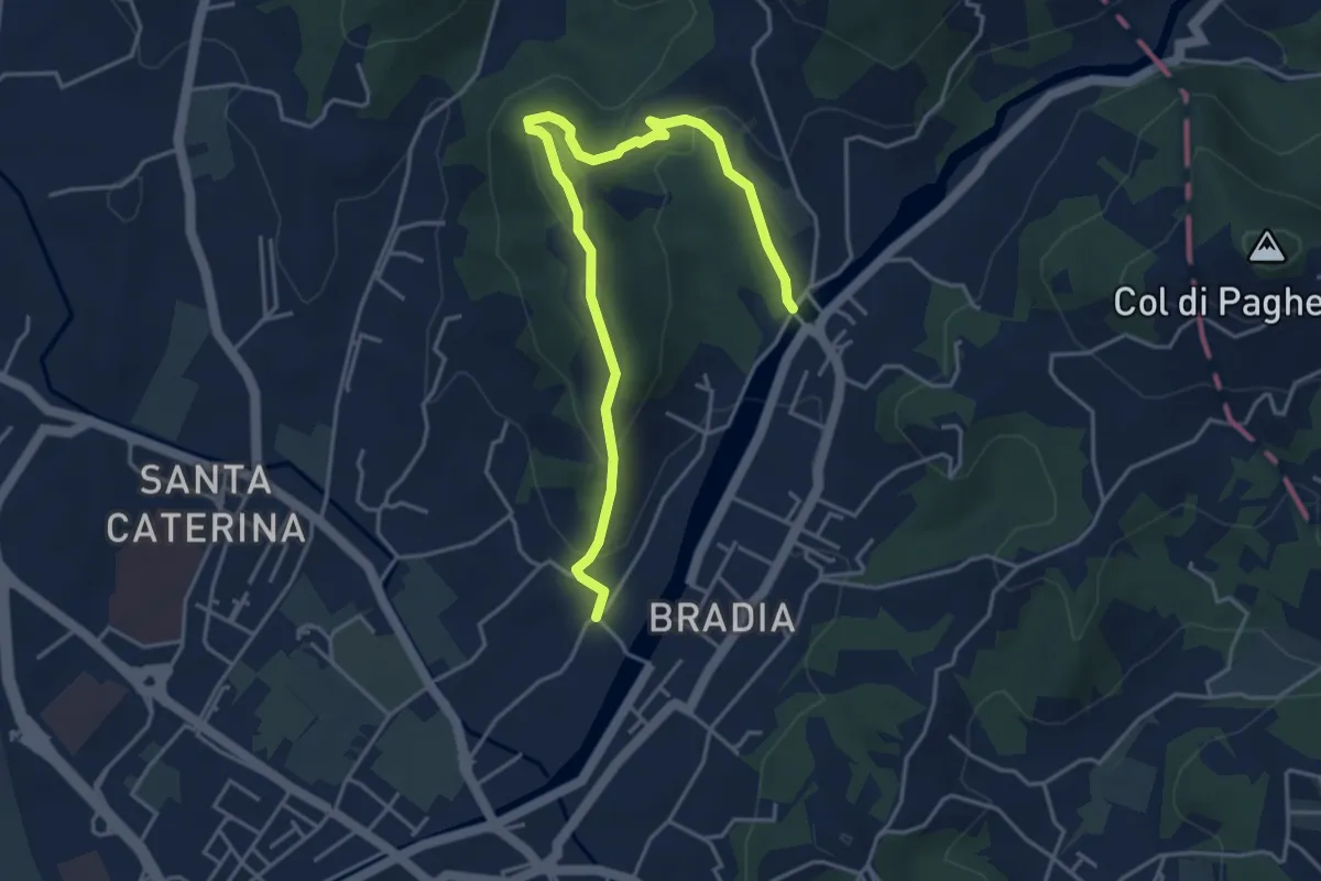
Easy · Trail
Via Paradiso – Ponte della Budella
5.1 km · ↑ 245 m · 1 h 45 min · 5 km away
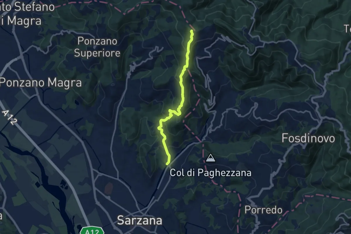
Medium · Trail
Ponte Budella – Percorso 290
9.7 km · ↑ 538 m · 3 h 28 min · 5 km away
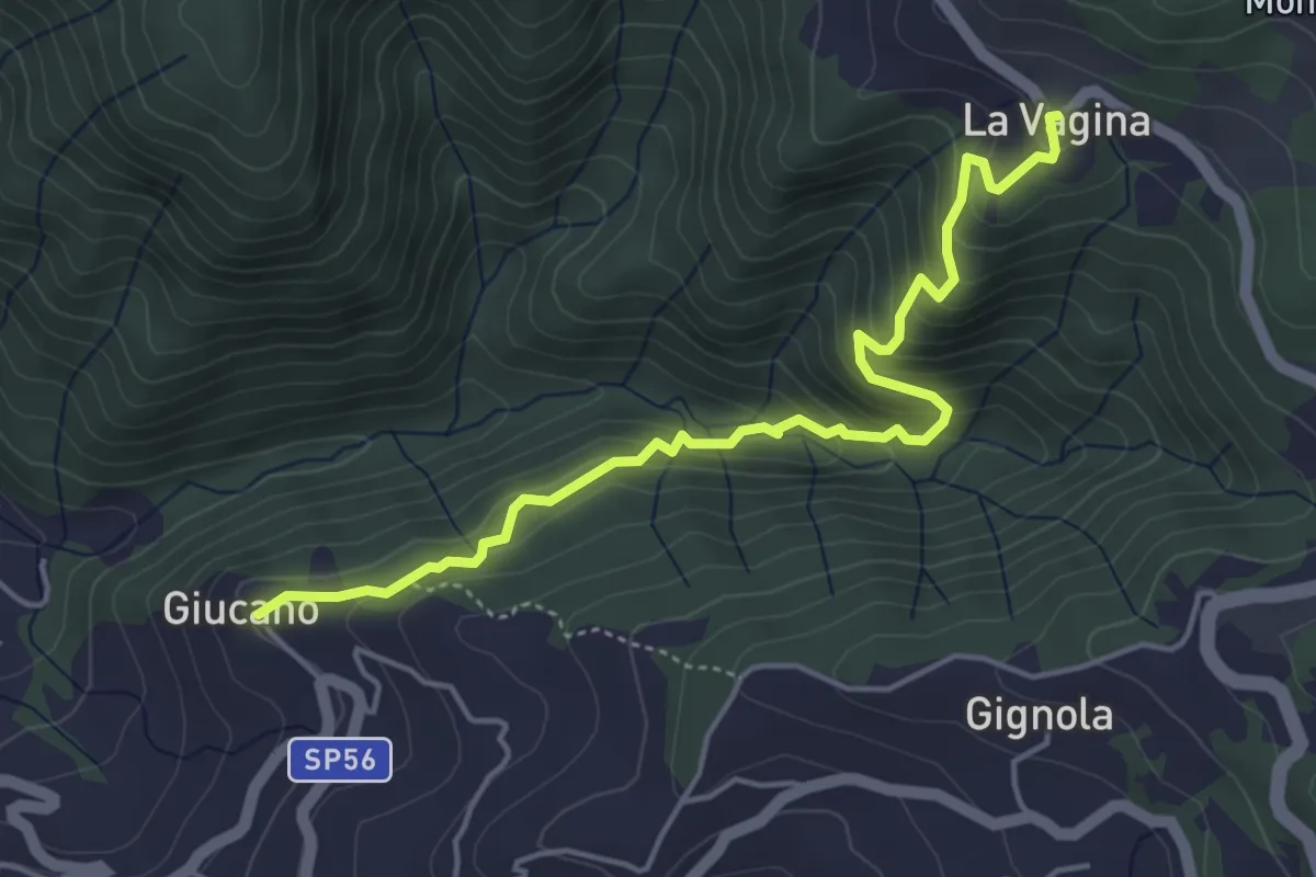
Medium · Trail
Giucano – Località La Vagina
5.1 km · ↑ 404 m · 2 h 5 min · 5 km away
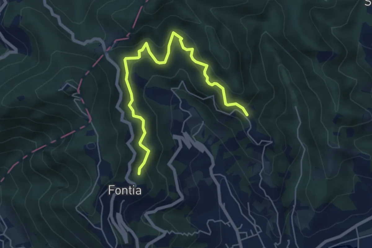
Medium · Trail
Cammino di Aronte - Tappa 1
5.5 km · ↑ 548 m · 2 h 29 min · 5 km away
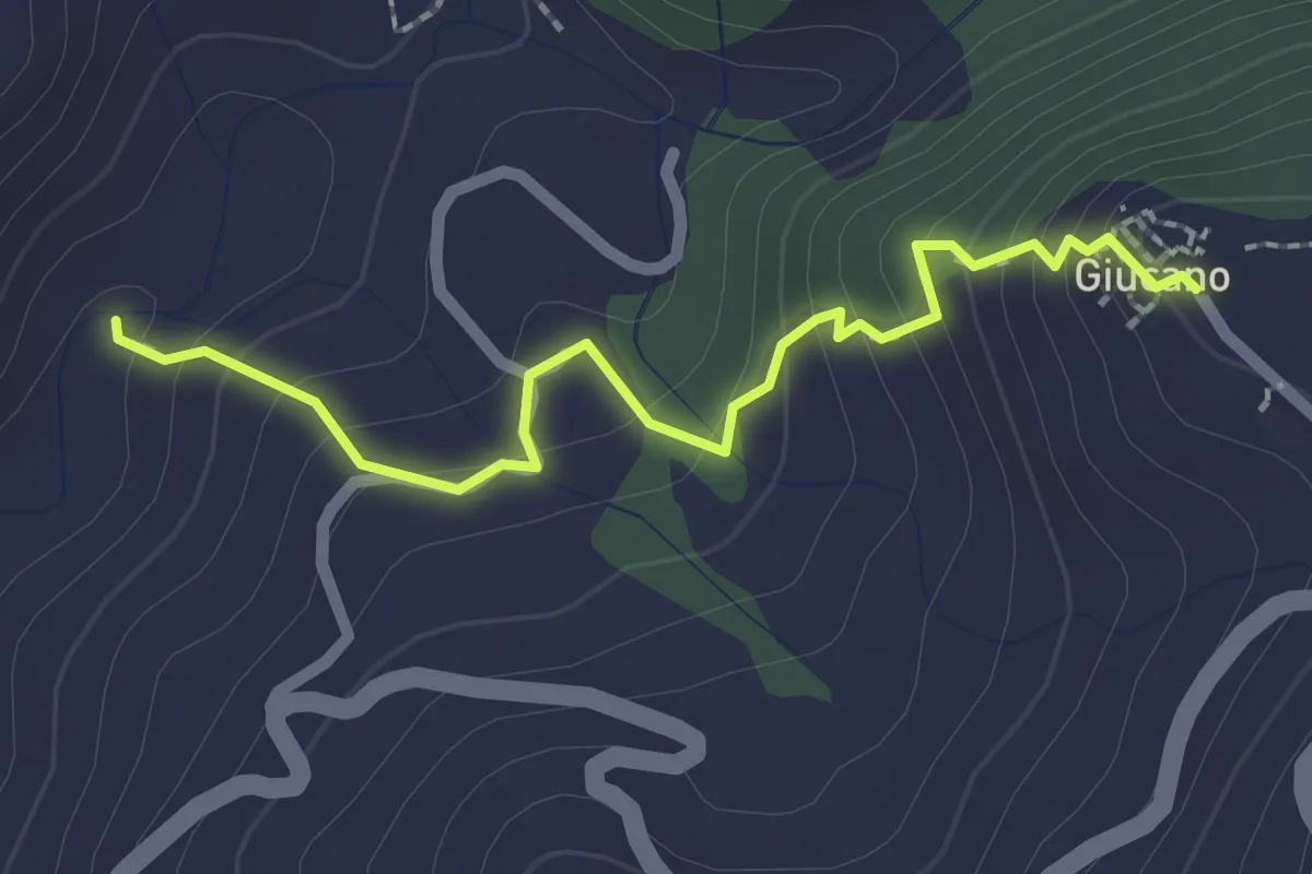
Easy · Trail
Percorso 288 – Giucano
2.4 km · ↑ 191 m · 58 min · 5 km away
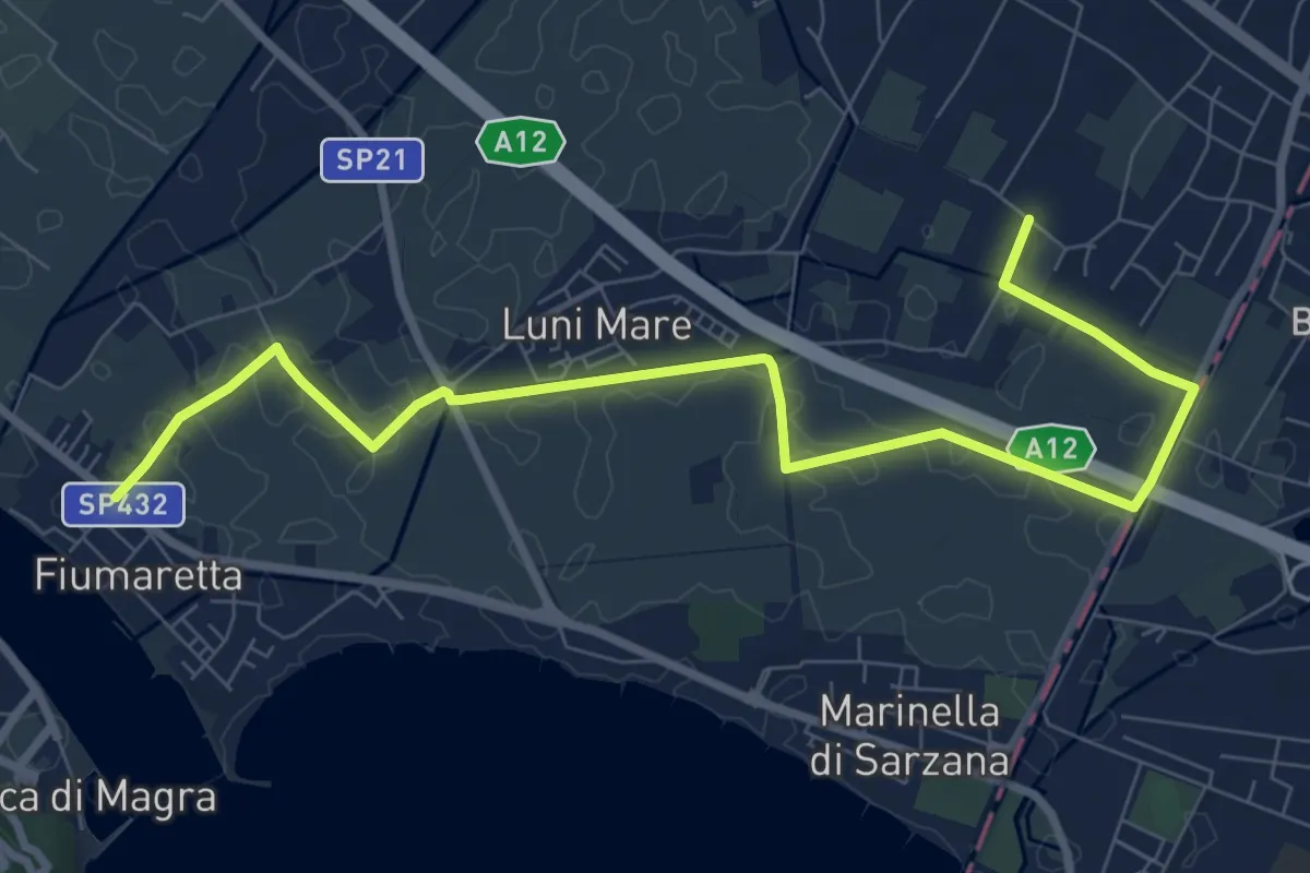
Medium · Trail
Fiumaretta – Anfiteatro Di Luni
10.2 km · ↑ 0 m · 2 h 25 min · 6 km away
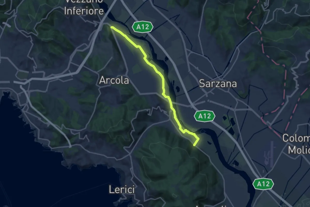
Expert · Trail
Senato – Fornola
13.8 km · ↑ 54 m · 3 h 23 min · 6 km away
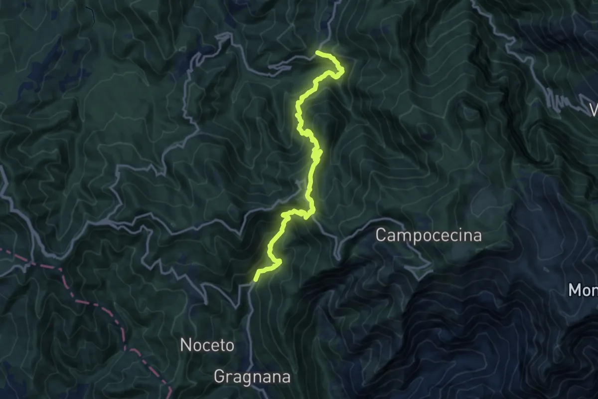
Demanding · Trail
Ponte Storto – Maestà della Villa
13.5 km · ↑ 1285 m · 5 h 58 min · 6 km away
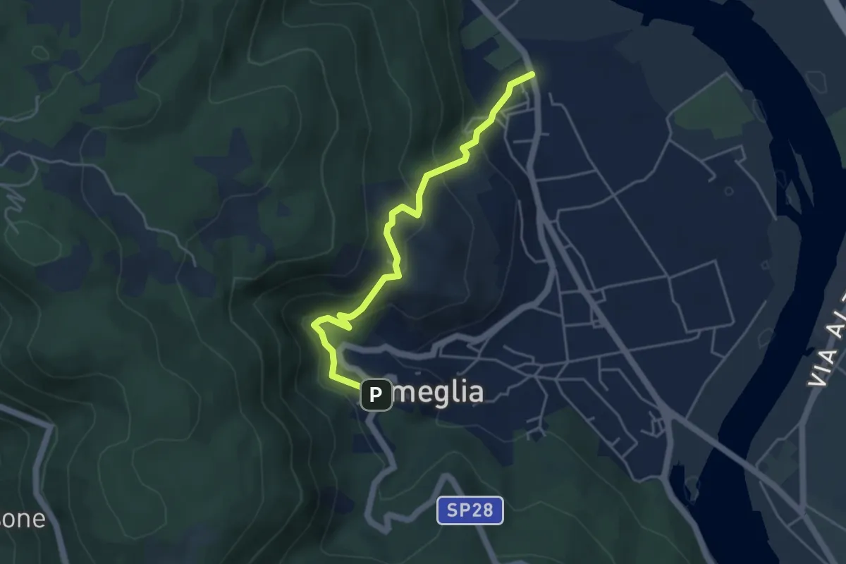
Easy · Trail
Fiume Magra – Camisano – C. Pianca – Ameglia
4.4 km · ↑ 307 m · 1 h 43 min · 6 km away
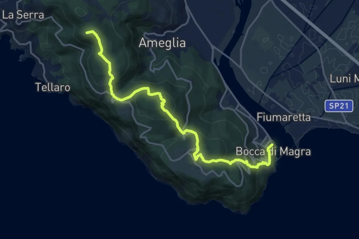
Medium · Summit
Alta Via del Golfo: Bocca di Magra - Il Termo
13.9 km · ↑ 762 m · 4 h 56 min · 6 km away
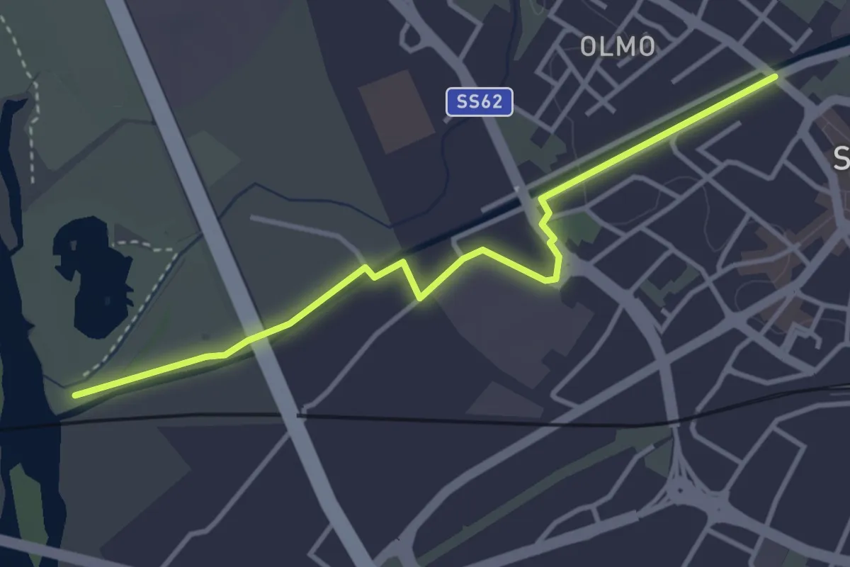
Easy · Trail
Sarzana VF – 390 PF Fiume Magra
3.9 km · ↑ 18 m · 57 min · 6 km away
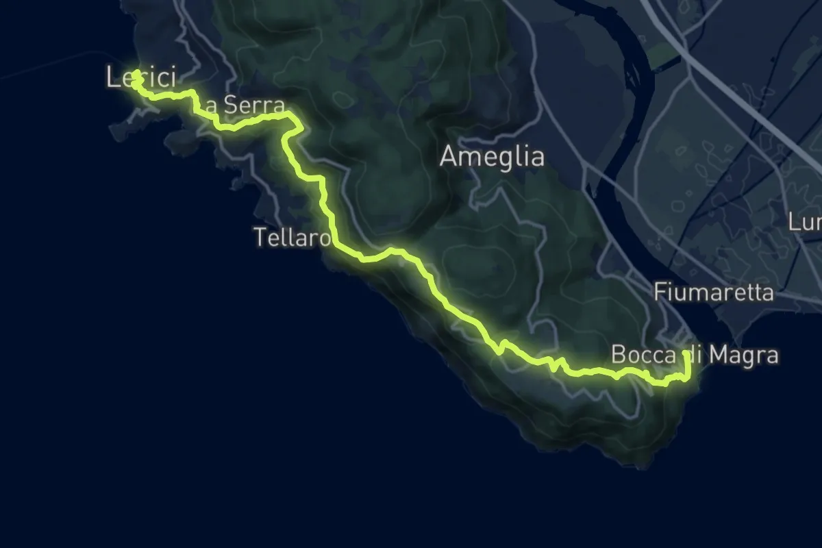
Demanding · Trail
Sentiero Liguria - Tappa 1
19.1 km · ↑ 933 m · 6 h 33 min · 6 km away
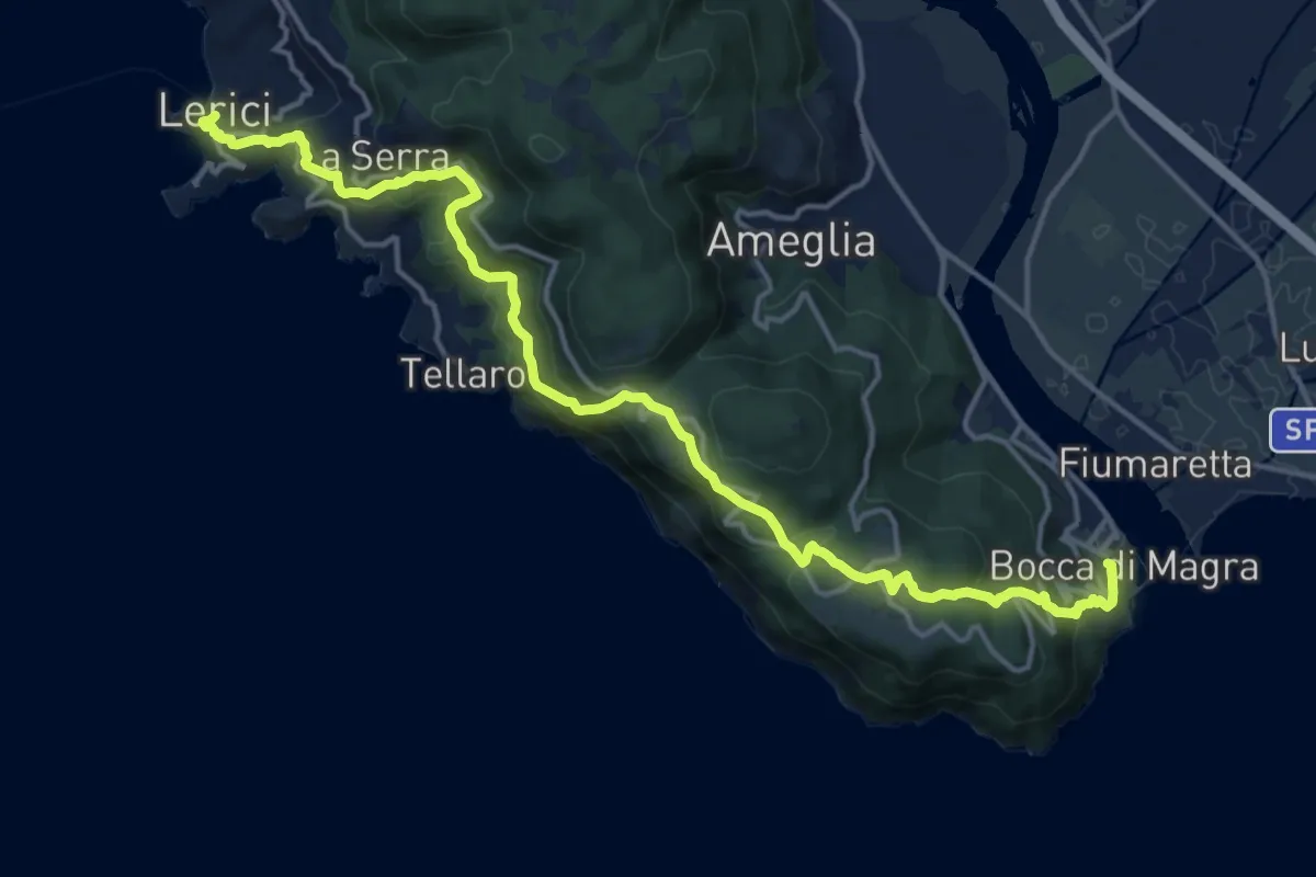
Demanding · Trail
Bocca di Magra – Lerici
18.9 km · ↑ 924 m · 6 h 28 min · 6 km away