Trails near Castelnuovo Magra
182 hikes starting within 15 km, nearest first.
Nearest first, page 4 of 4
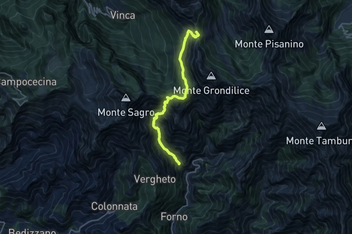
Demanding · Summit
Località Mozziconi (Forno) – Val Serenaia
12.2 km · ↑ 1328 m · 5 h 46 min · 13 km away
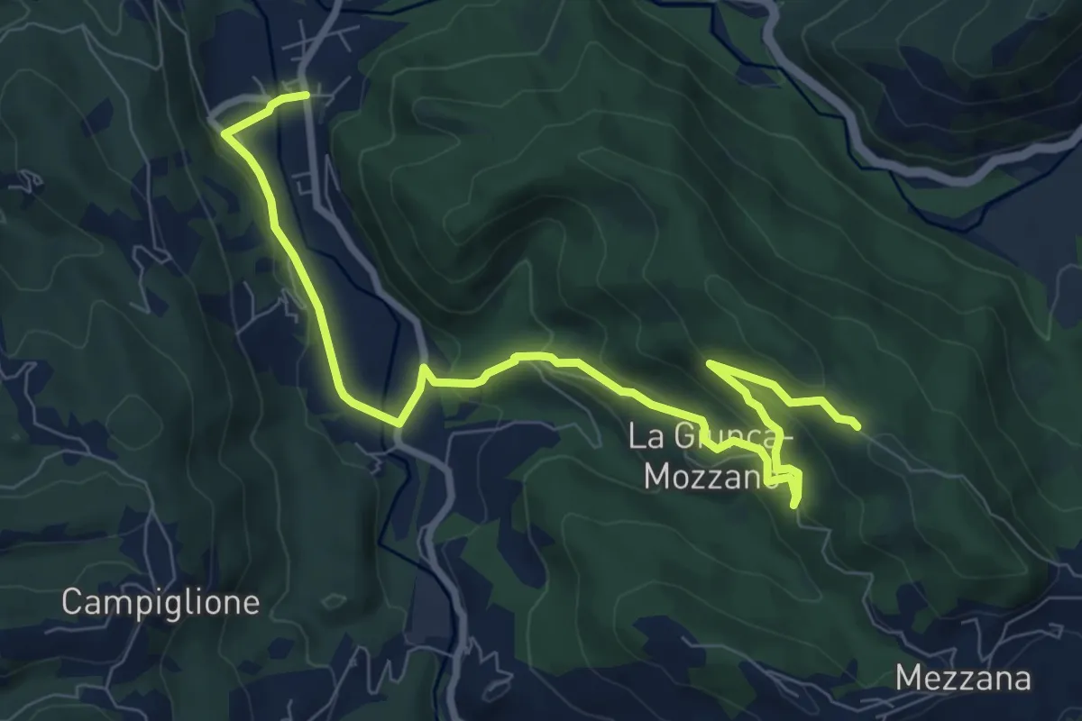
Medium · Trail
Gragnola – Fazzano
10.0 km · ↑ 386 m · 3 h 11 min · 13 km away
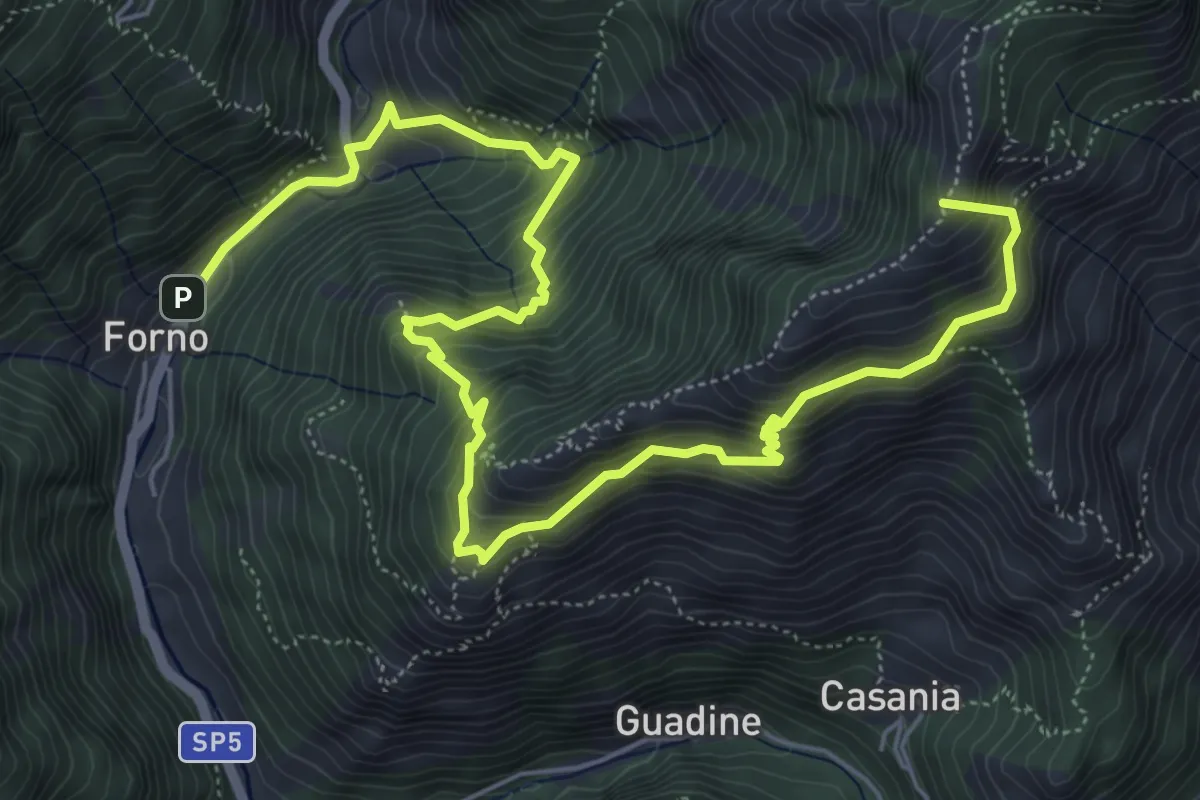
Demanding · Summit
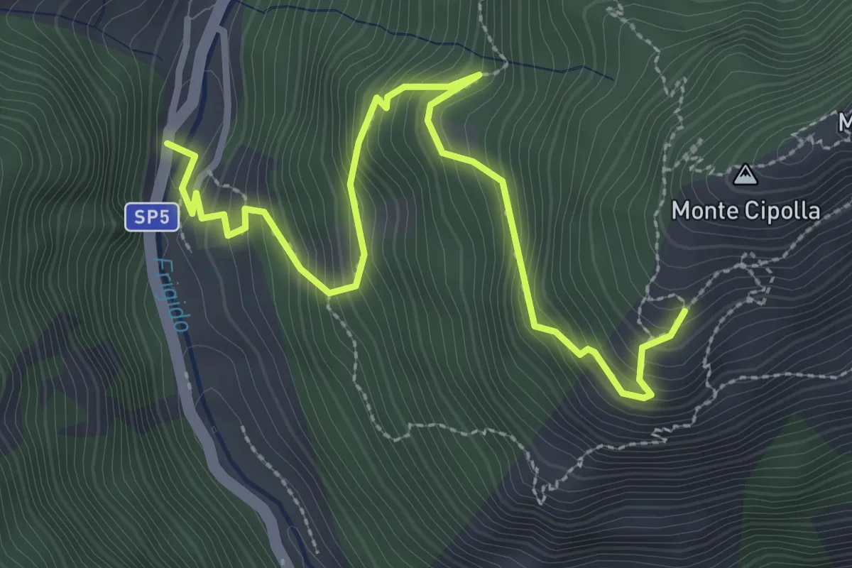
Cammino del Frigido - Tappa 4
8.7 km · ↑ 891 m · 3 h 59 min · 13 km away
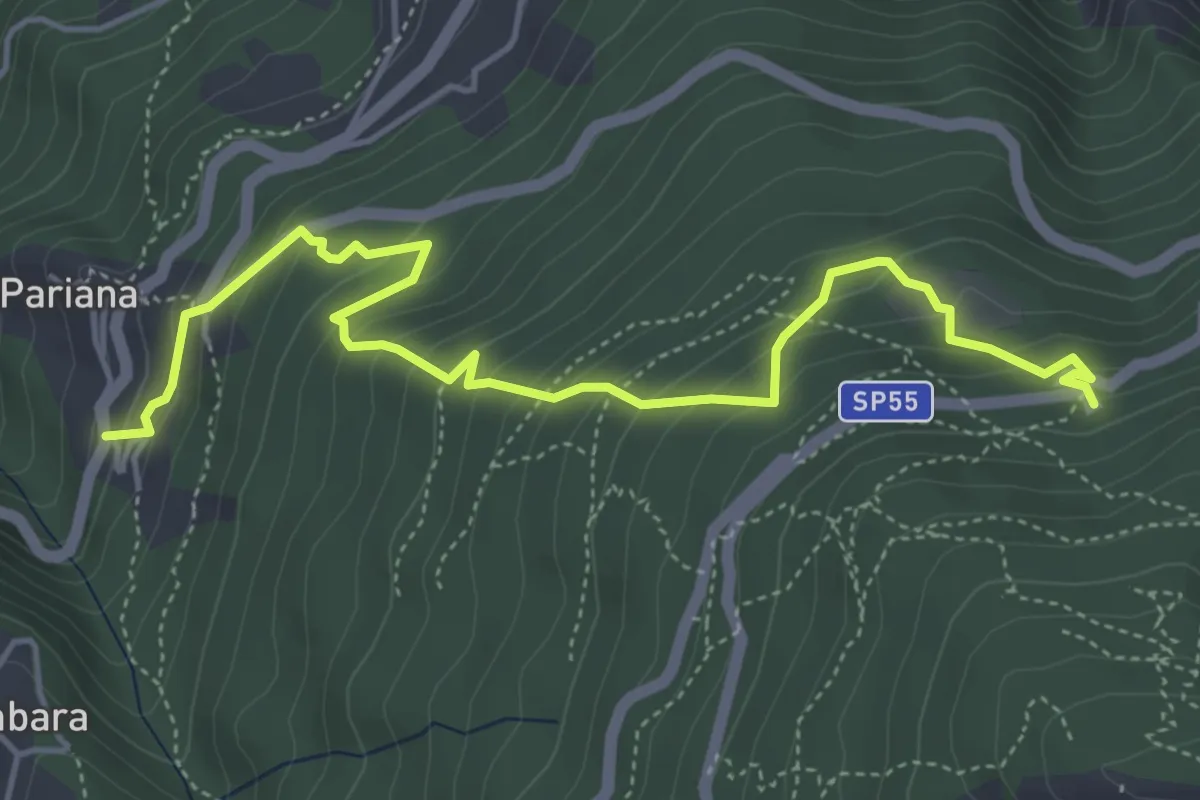
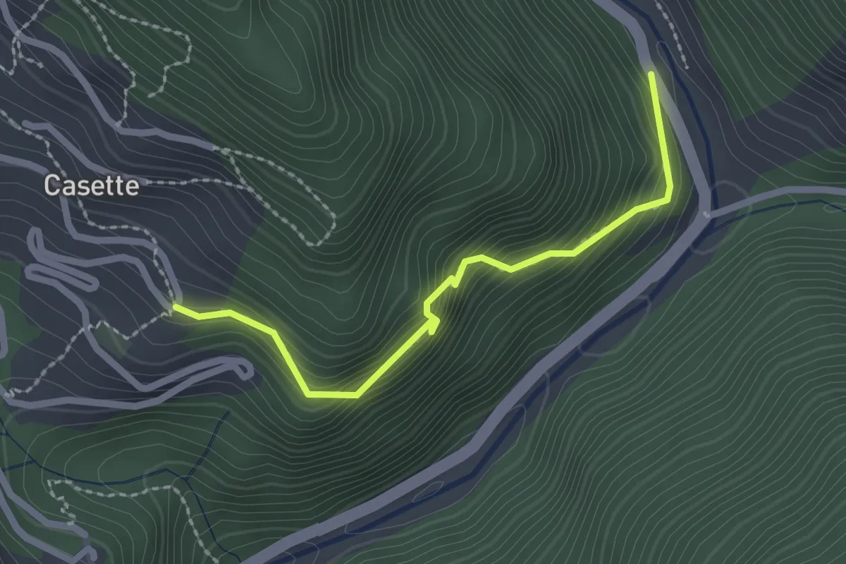
Medium · Trail
Via delle Fonti 6 - Vicinale della Fontana Morosa
5.8 km · ↑ 525 m · 2 h 30 min · 13 km away
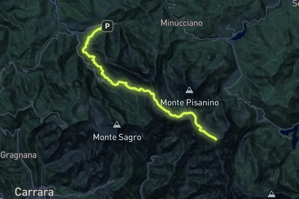
Easy · Trail
Sentiero del Bizzarro
2.2 km · ↑ 282 m · 1 h 8 min · 13 km away
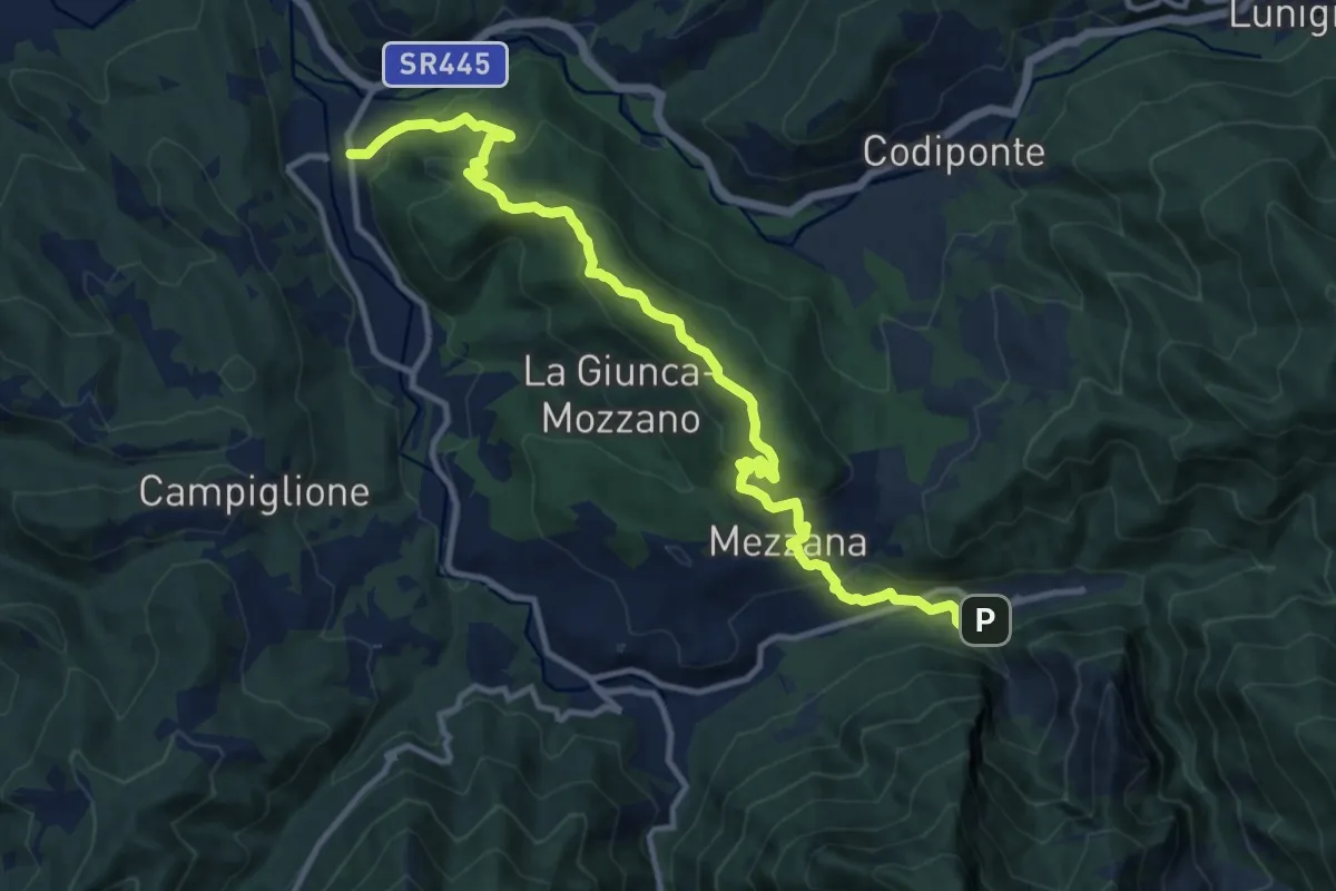
Demanding · Summit
Rifugio CAI Nello Conti – Equi Terme
30.4 km · ↑ 2755 m · 13 h 9 min · 13 km away
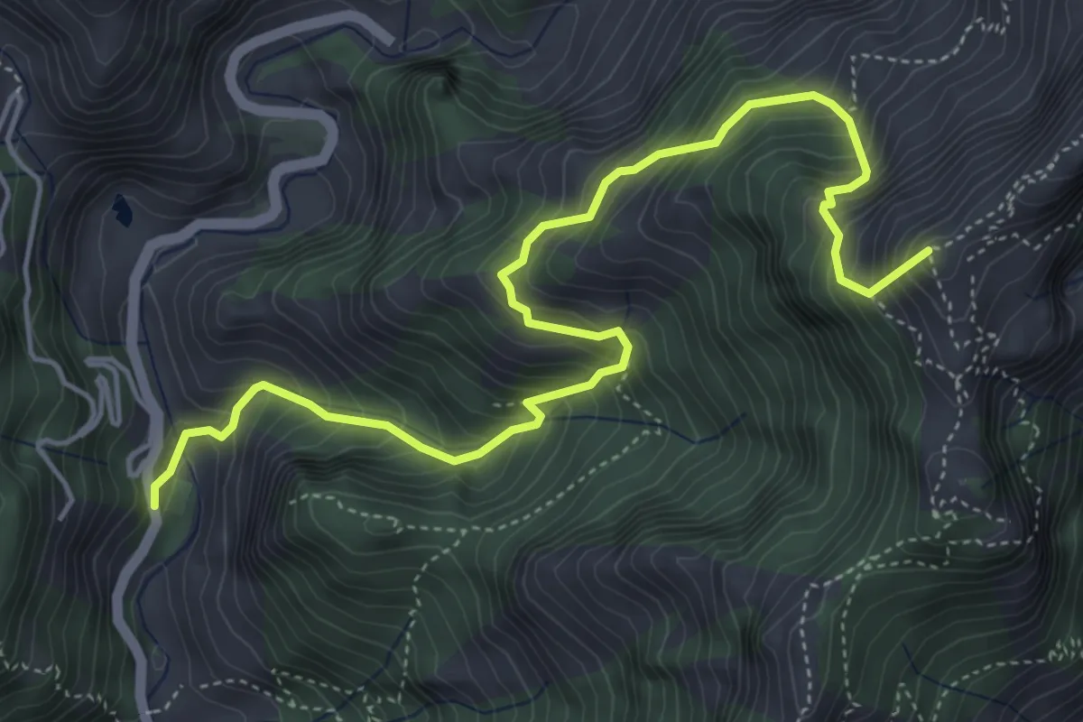
Medium · Trail
Gragnola – Equi Terme
13.7 km · ↑ 597 m · 4 h 31 min · 13 km away
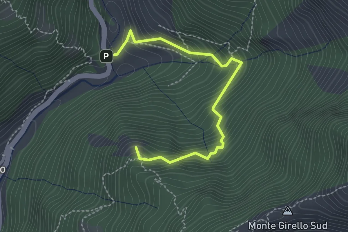
Medium · Summit
Resceto – Forno
6.0 km · ↑ 747 m · 3 h 2 min · 13 km away
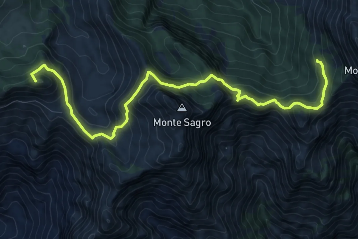
Medium · Summit
Forno – Casania
2.6 km · ↑ 270 m · 1 h 12 min · 13 km away
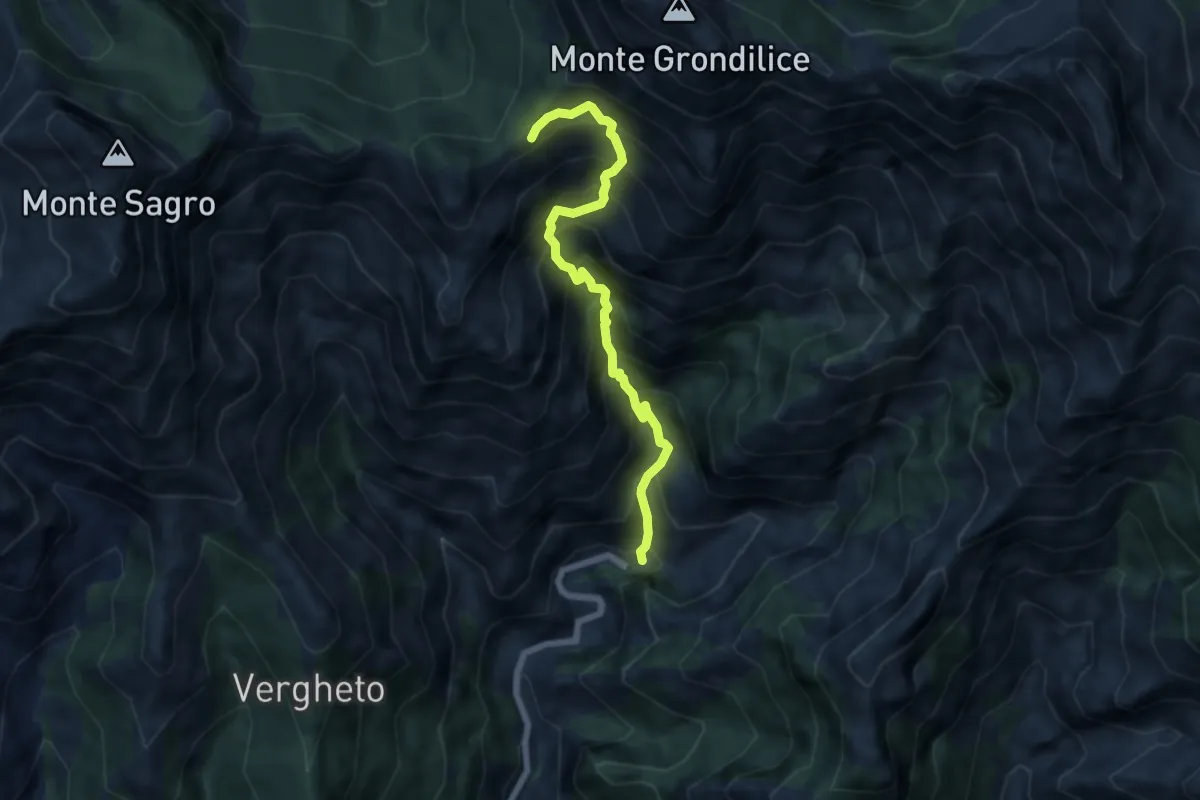
Demanding · Summit
Rifugio Carrara – Capanna Garnerone
12.4 km · ↑ 912 m · 4 h 54 min · 13 km away
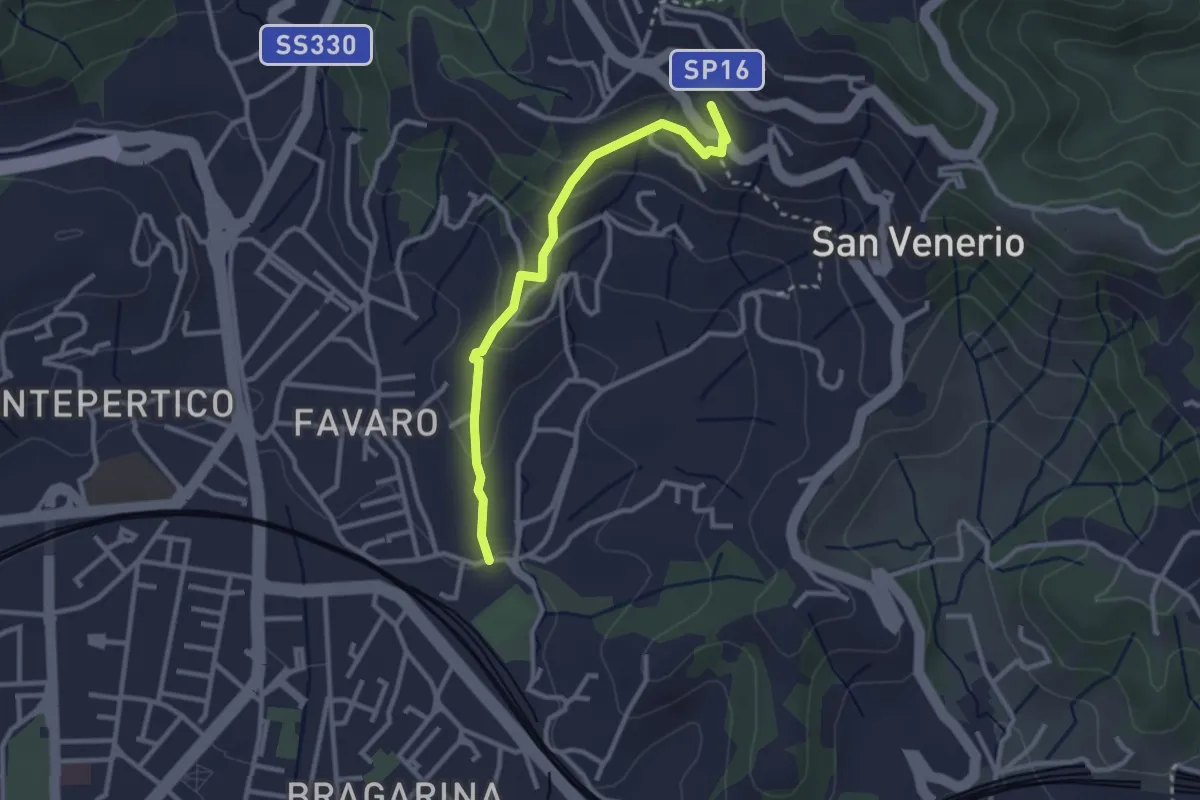
Demanding · Trail
Biforco – Foce Rasori
6.5 km · ↑ 1081 m · 3 h 53 min · 13 km away
Easy · Trail
La Pieve – Carozzo (via della Lobbia)
2.9 km · ↑ 127 m · 57 min · 13 km away
Medium · Trail
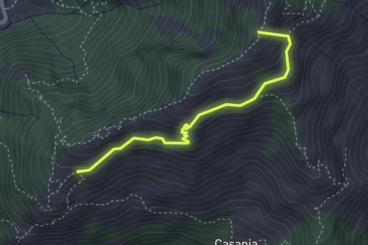
Forno - Pian dei Santi
3.6 km · ↑ 382 m · 1 h 41 min · 14 km away
Demanding · Summit
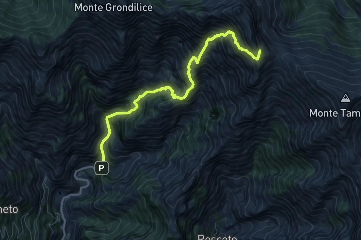
Pian dei Santi – Percorso 161
3.4 km · ↑ 356 m · 1 h 35 min · 14 km away
Demanding · Summit
Biforco – Passo della Focolaccia
9.3 km · ↑ 1427 m · 5 h 17 min · 14 km away
Medium · Trail
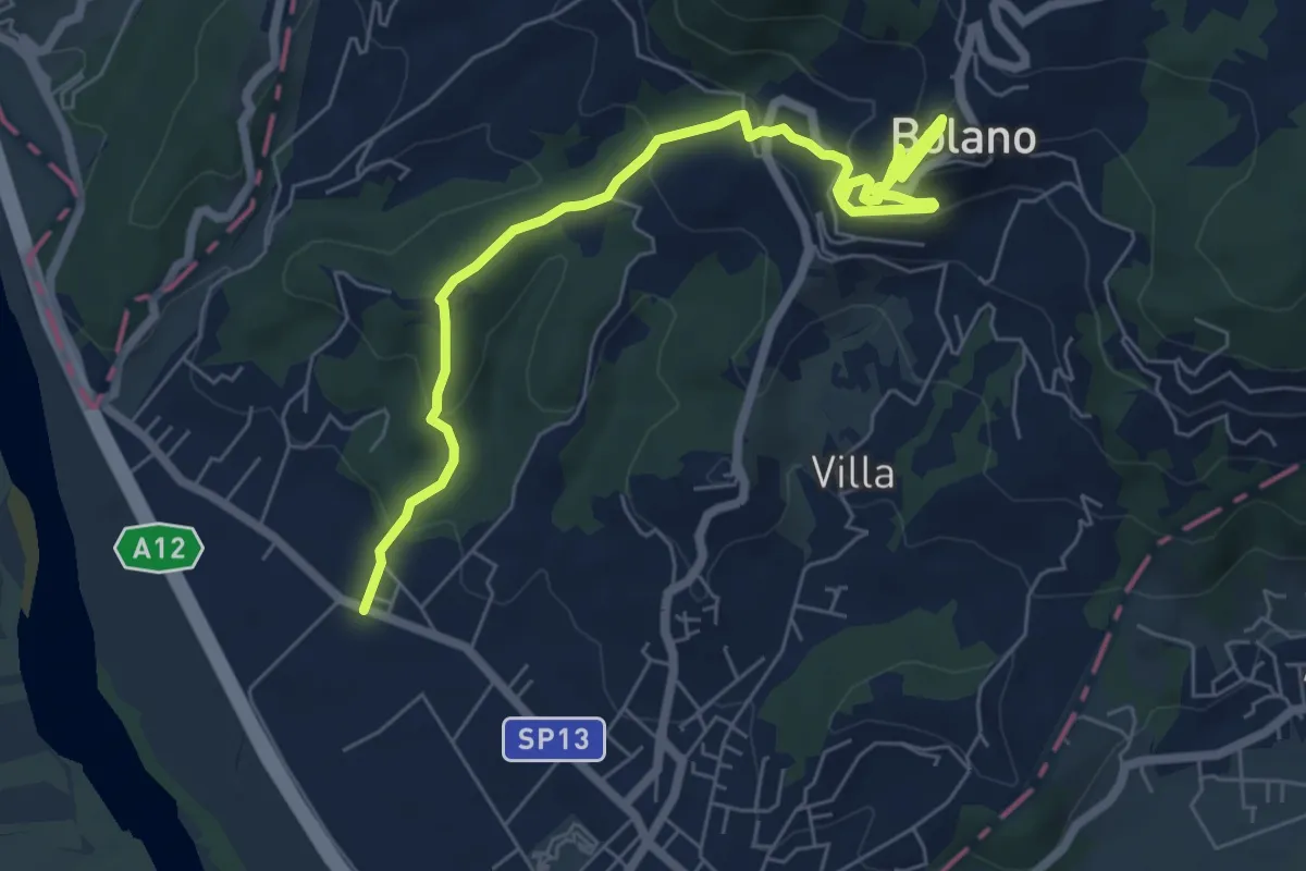
Ceparana – San Bartolomeo – Bolano (Bivio AVML)
7.9 km · ↑ 444 m · 2 h 49 min · 14 km away
Medium · Summit
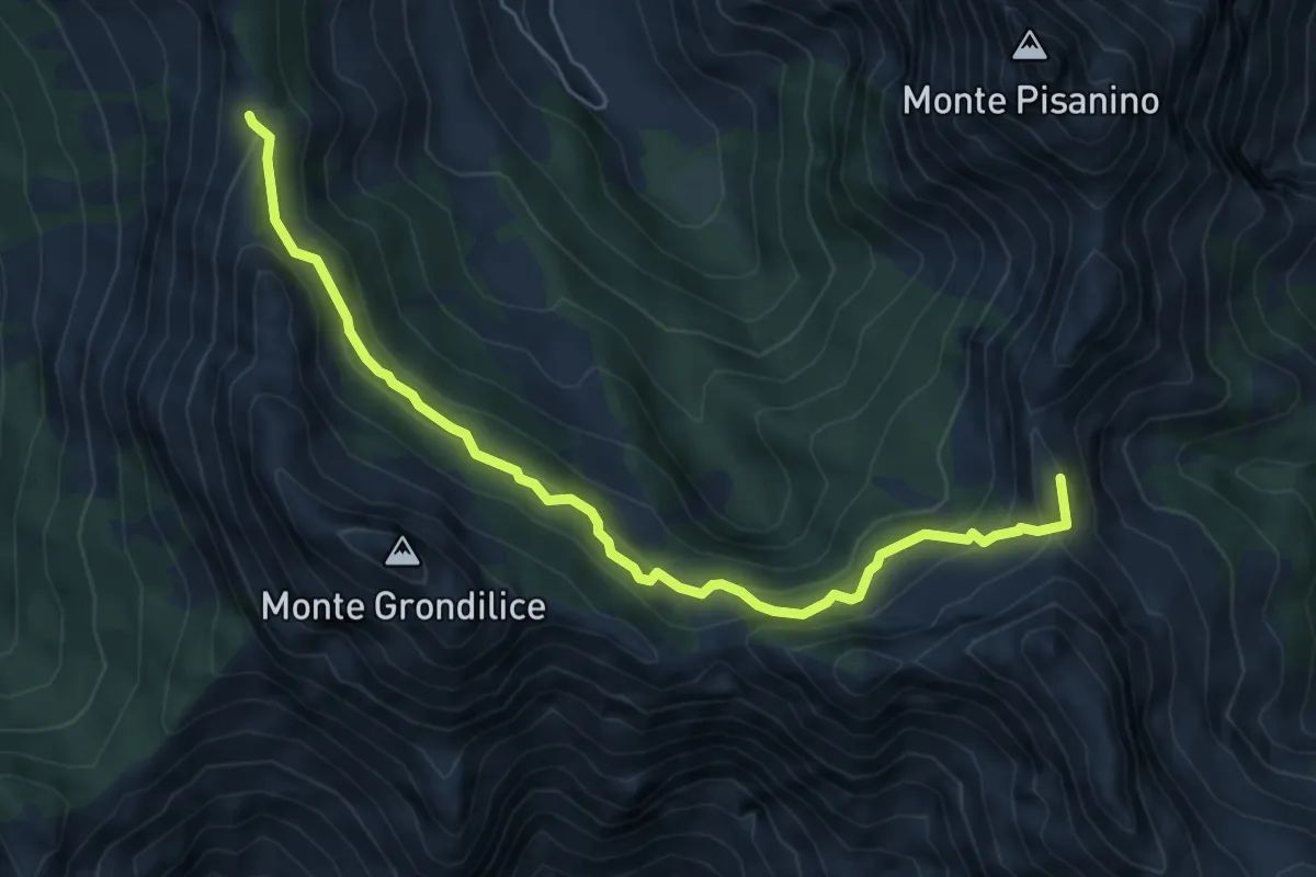
Foce di Giovo – Passo della Focolaccia
6.7 km · ↑ 494 m · 2 h 39 min · 14 km away
Easy · Trail
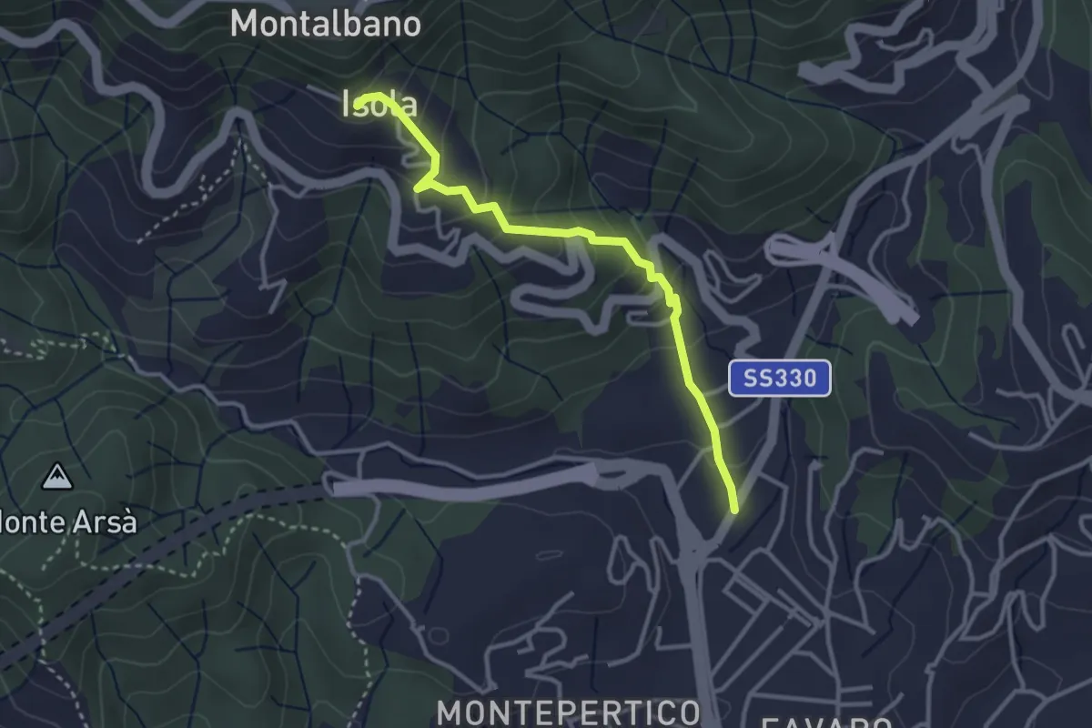
Felettino - Isola (Via dei Pilastri)
3.2 km · ↑ 238 m · 1 h 16 min · 14 km away
Expert · Summit
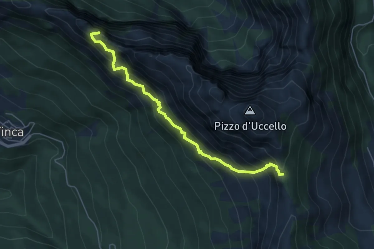
Sentiero attrezzato Mario Piotti
4.8 km · ↑ 705 m · 2 h 40 min · 14 km away
Demanding · Trail
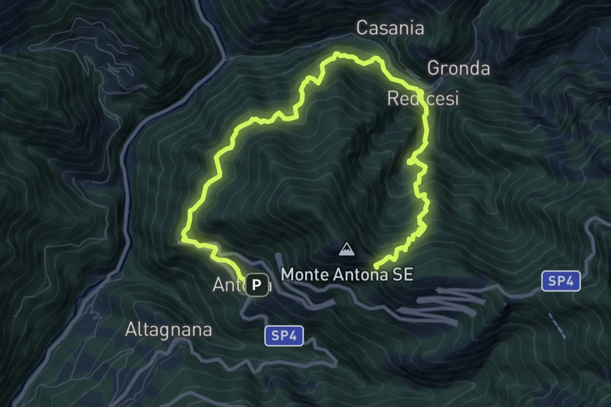
Anello di Redicesi
12.7 km · ↑ 1530 m · 6 h 19 min · 14 km away
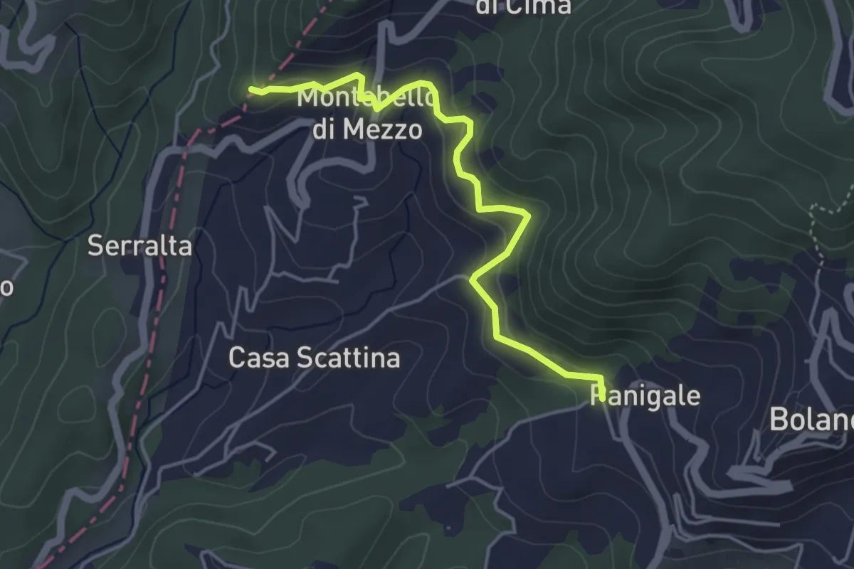
Easy · Trail
Panigale (Percorso 282) – Percorso 281
4.2 km · ↑ 227 m · 1 h 29 min · 14 km away
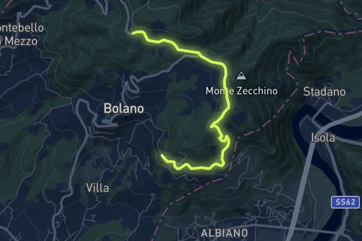
Easy · Trail
Bivio AVML - Tirolo - Case Solegnana - Case Cavanon - Bagatello
7.4 km · ↑ 297 m · 2 h 24 min · 14 km away
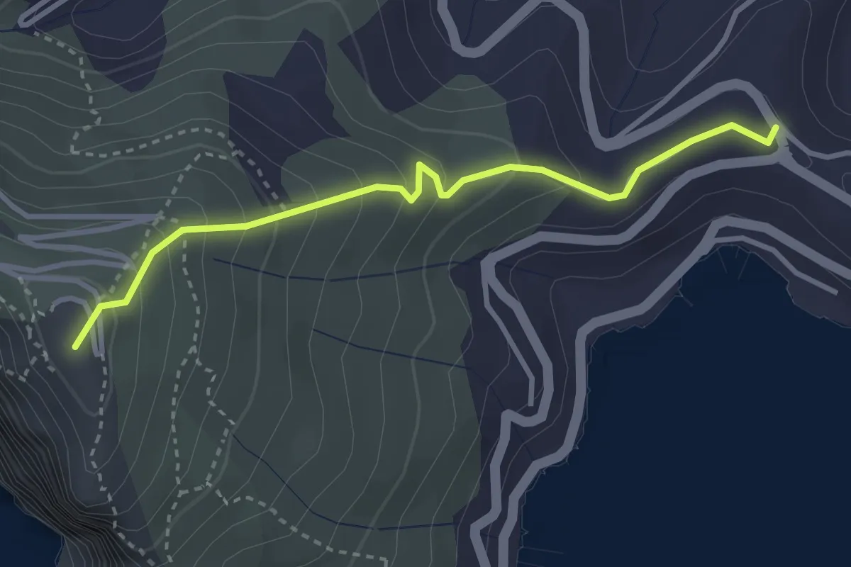
Easy · Summit
Località Il Cavo – Forte Muzzerone
3.3 km · ↑ 255 m · 1 h 20 min · 15 km away
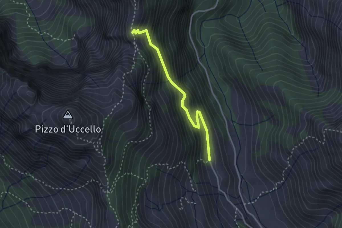
Medium · Cabin
Val Serenaia (Rifugio Donegani) – Foce Siggioli
2.7 km · ↑ 279 m · 1 h 15 min · 15 km away
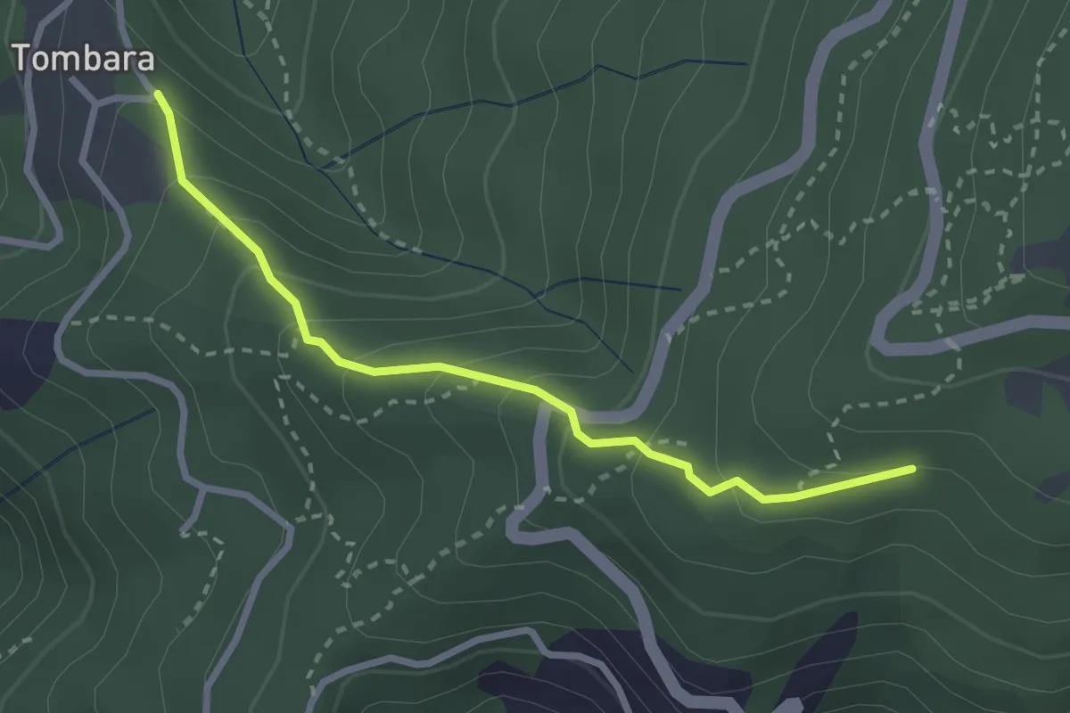
Easy · Trail
Via delle Fonti 9 - Vicinale del Marciadrino
2.8 km · ↑ 240 m · 1 h 10 min · 15 km away
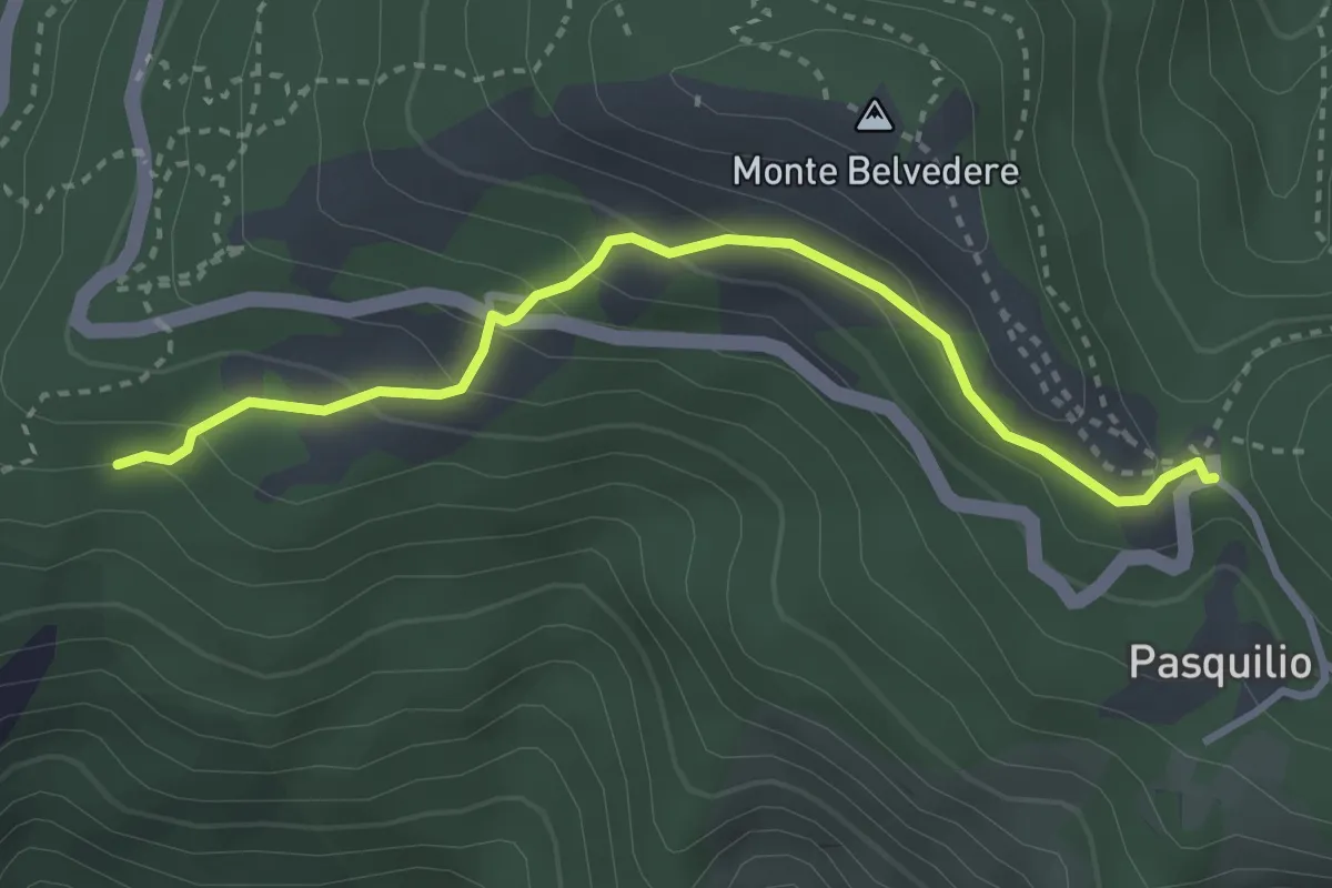
Easy · Trail
Via delle Fonti 10 - Comunale da Massa al Pasquilio
3.4 km · ↑ 183 m · 1 h 12 min · 15 km away
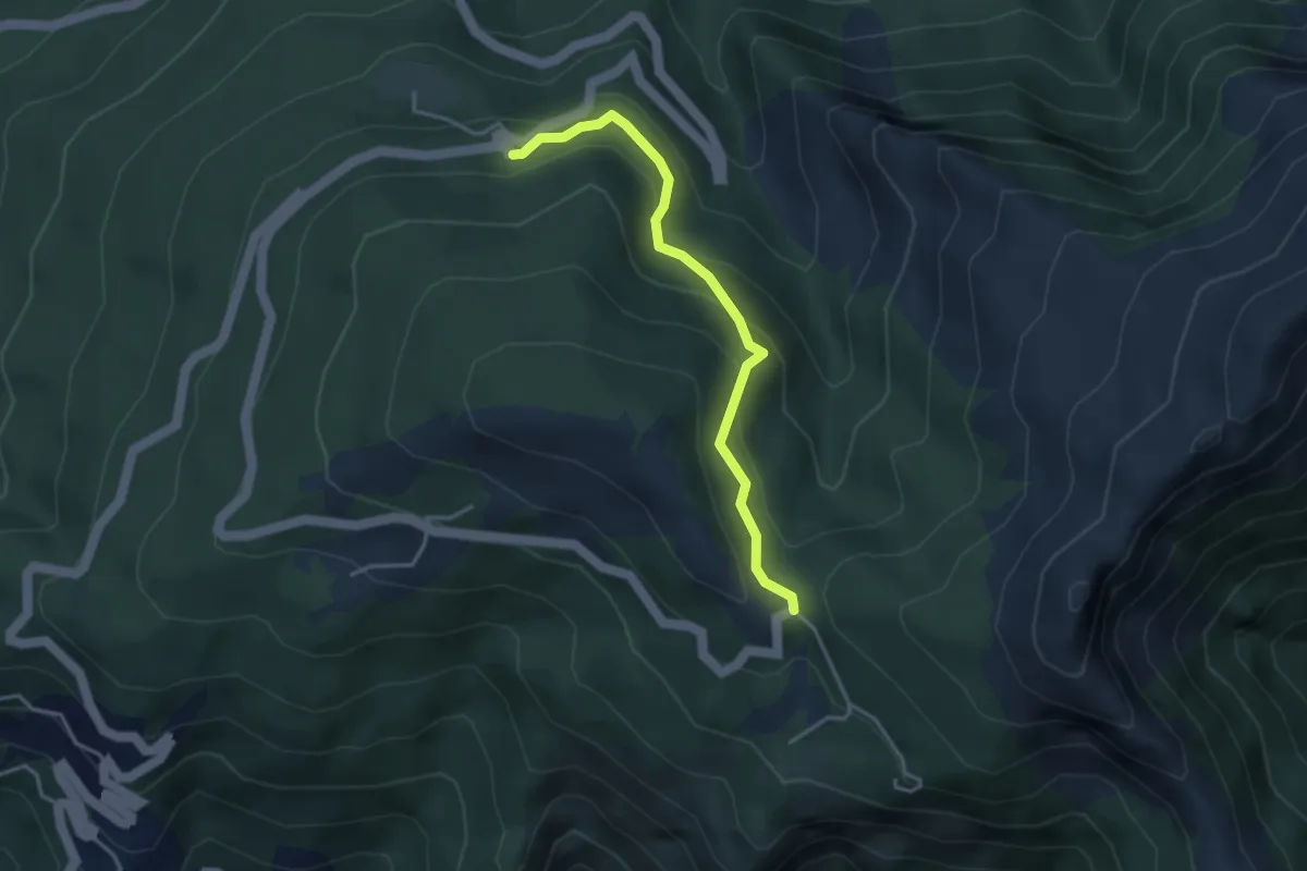
Easy · Trail
Via delle Fonti 5 - Vicinale della Fontana Morosa
3.6 km · ↑ 230 m · 1 h 21 min · 15 km away
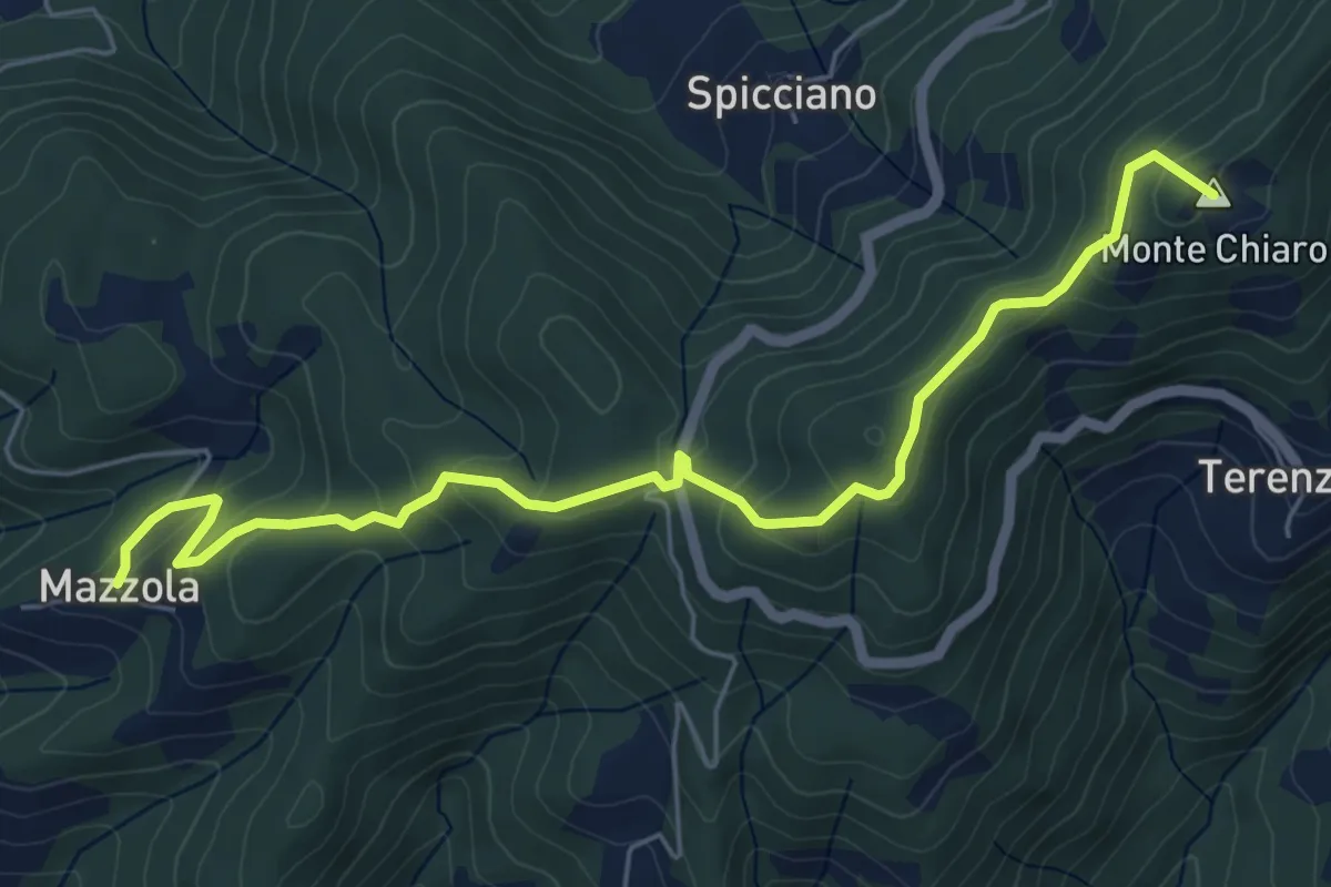
Easy · Summit
Mazzola – Turlago
6.6 km · ↑ 308 m · 2 h 13 min · 15 km away
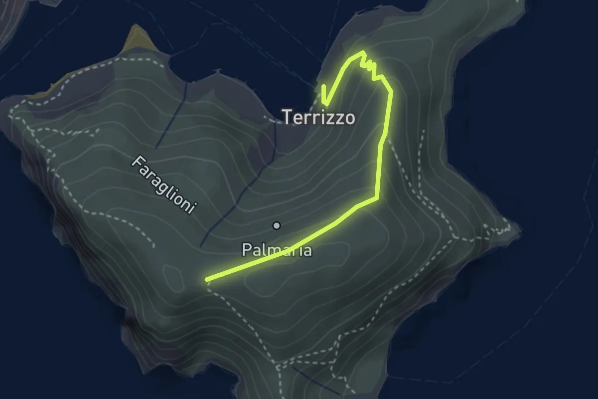
Medium · Trail
Isola Palmaria (strada dei condannati)
3.0 km · ↑ 164 m · 1 h 4 min · 15 km away
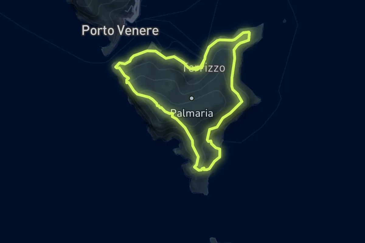
Medium · Trail
Isola Palmaria (giro dell'isola)
12.2 km · ↑ 624 m · 4 h 15 min · 15 km away
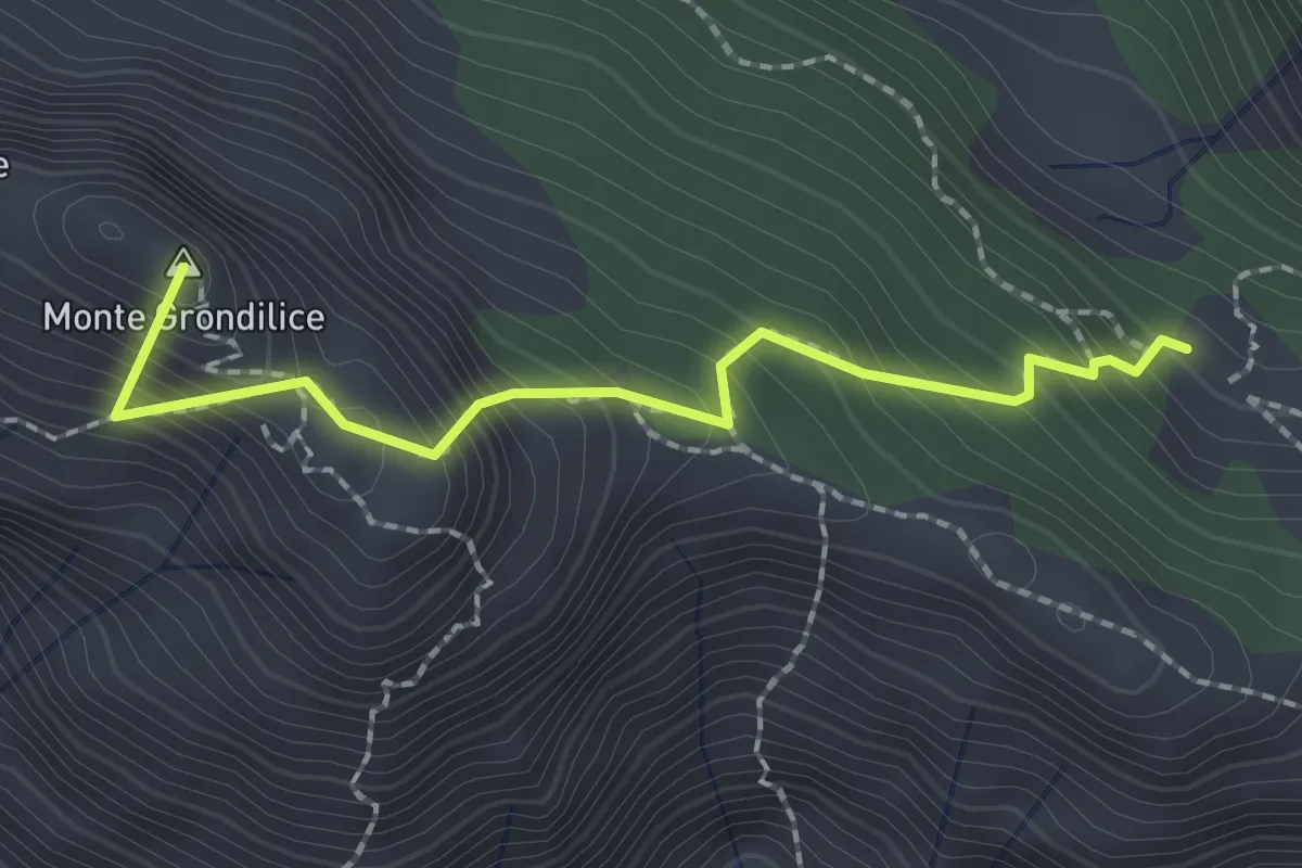
Demanding · Summit
Foce di Rasori – Orto di Donna
2.1 km · ↑ 266 m · 1 h 4 min · 15 km away
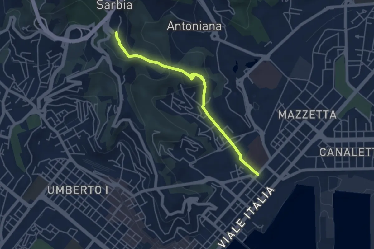
Easy · Trail
Via Veneto – Valdellora – Castellazzo – Sarbia
4.1 km · ↑ 153 m · 1 h 18 min · 15 km away
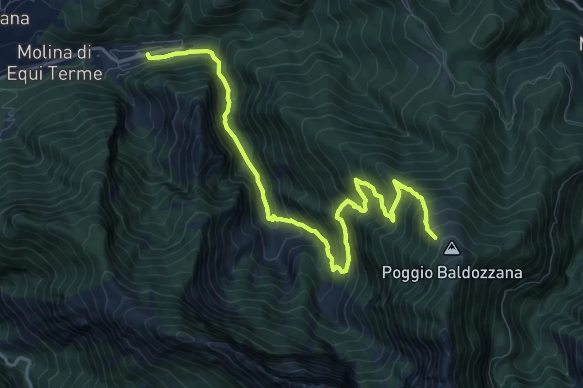
Demanding · Trail
Equi Terme – Innesto Percorso 181
12.0 km · ↑ 1133 m · 5 h 17 min · 15 km away
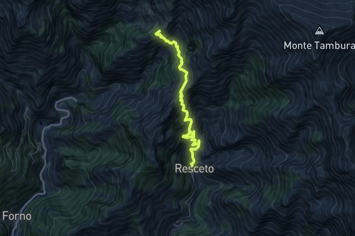
Demanding · Trail
Resceto – Case Carpano
6.9 km · ↑ 851 m · 3 h 29 min · 15 km away
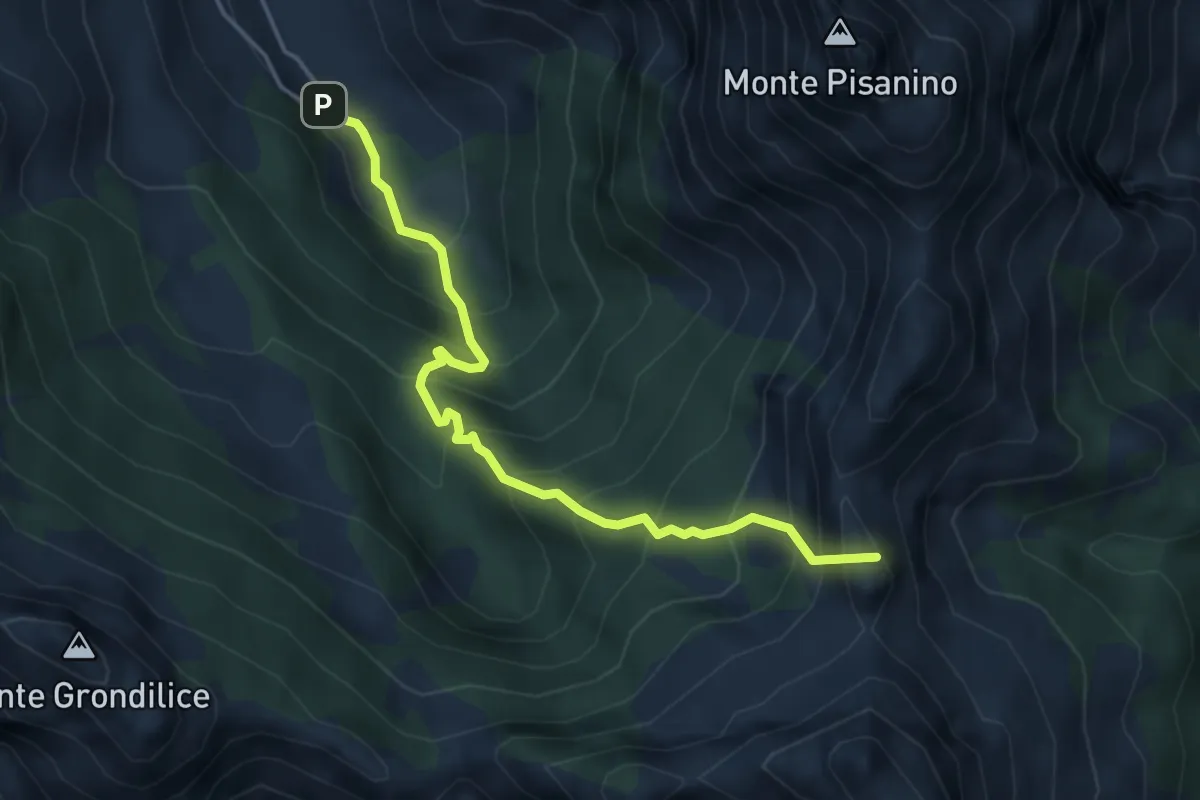
Demanding · Summit
Val Serenaia – Innesto Percorso 179 (Foce di Cardeto)
4.6 km · ↑ 565 m · 2 h 19 min · 15 km away
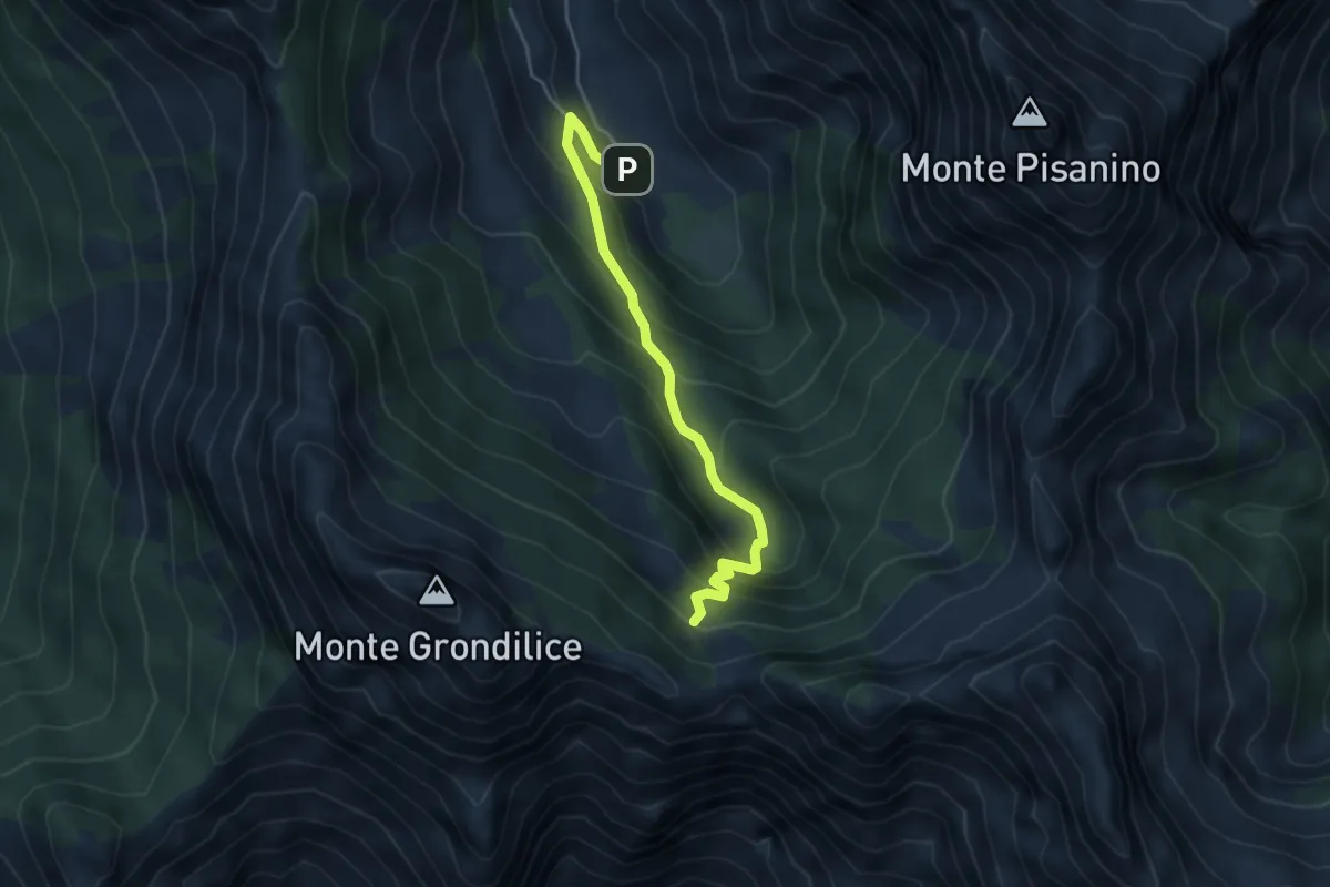
Medium · Cabin
Val Seranaia – Orto di Donna
4.4 km · ↑ 436 m · 1 h 59 min · 15 km away
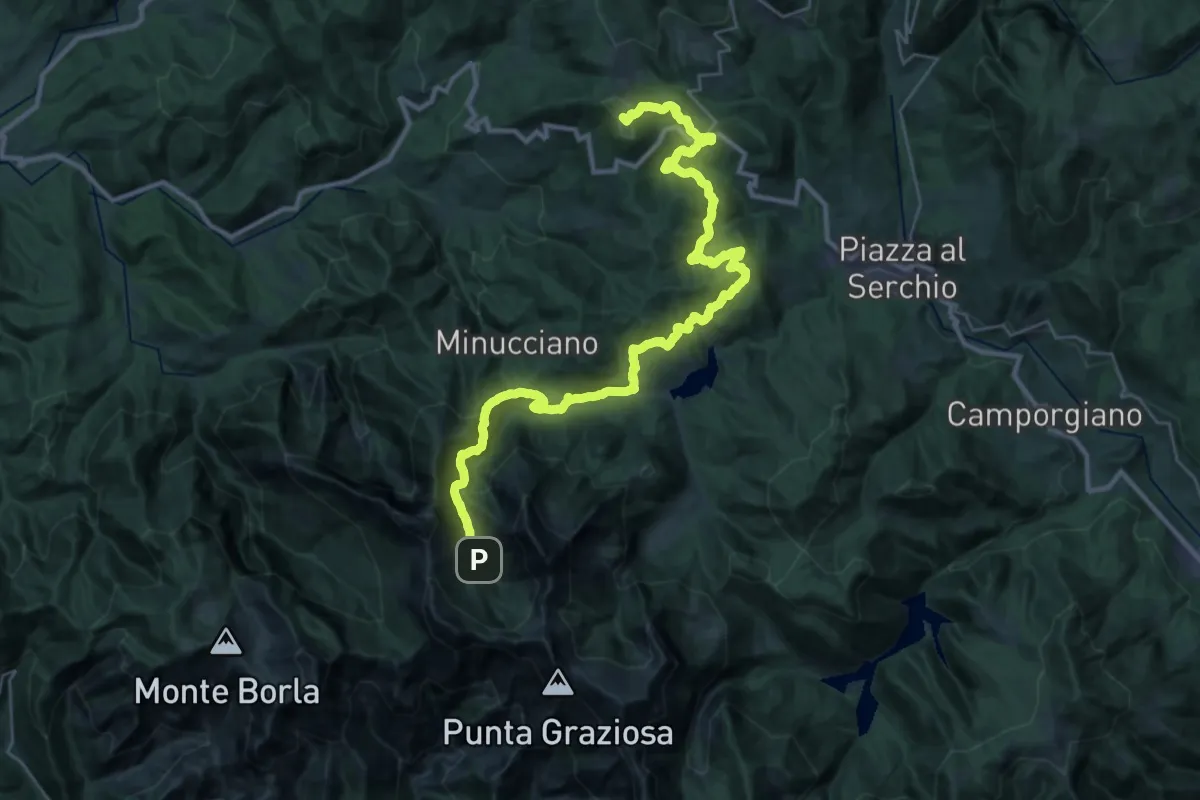
Demanding · Summit
Garfagnana Trekking - Tappa 5
39.5 km · ↑ 1668 m · 12 h 57 min · 15 km away
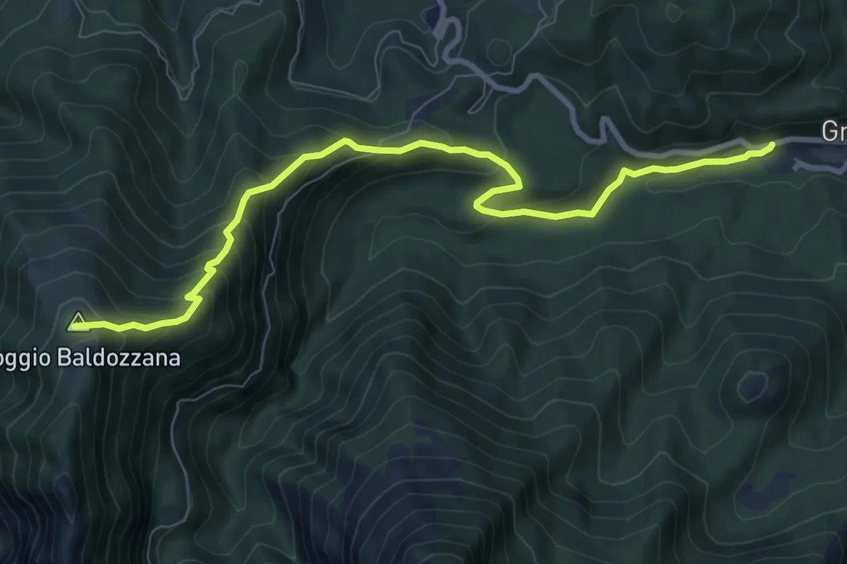
Medium · Trail
Gramolazzo – Poggio Baldozzana
9.0 km · ↑ 623 m · 3 h 29 min · 15 km away