Trails near Cava de' Tirreni
104 hikes starting within 15 km, nearest first.
Nearest first, page 2 of 3
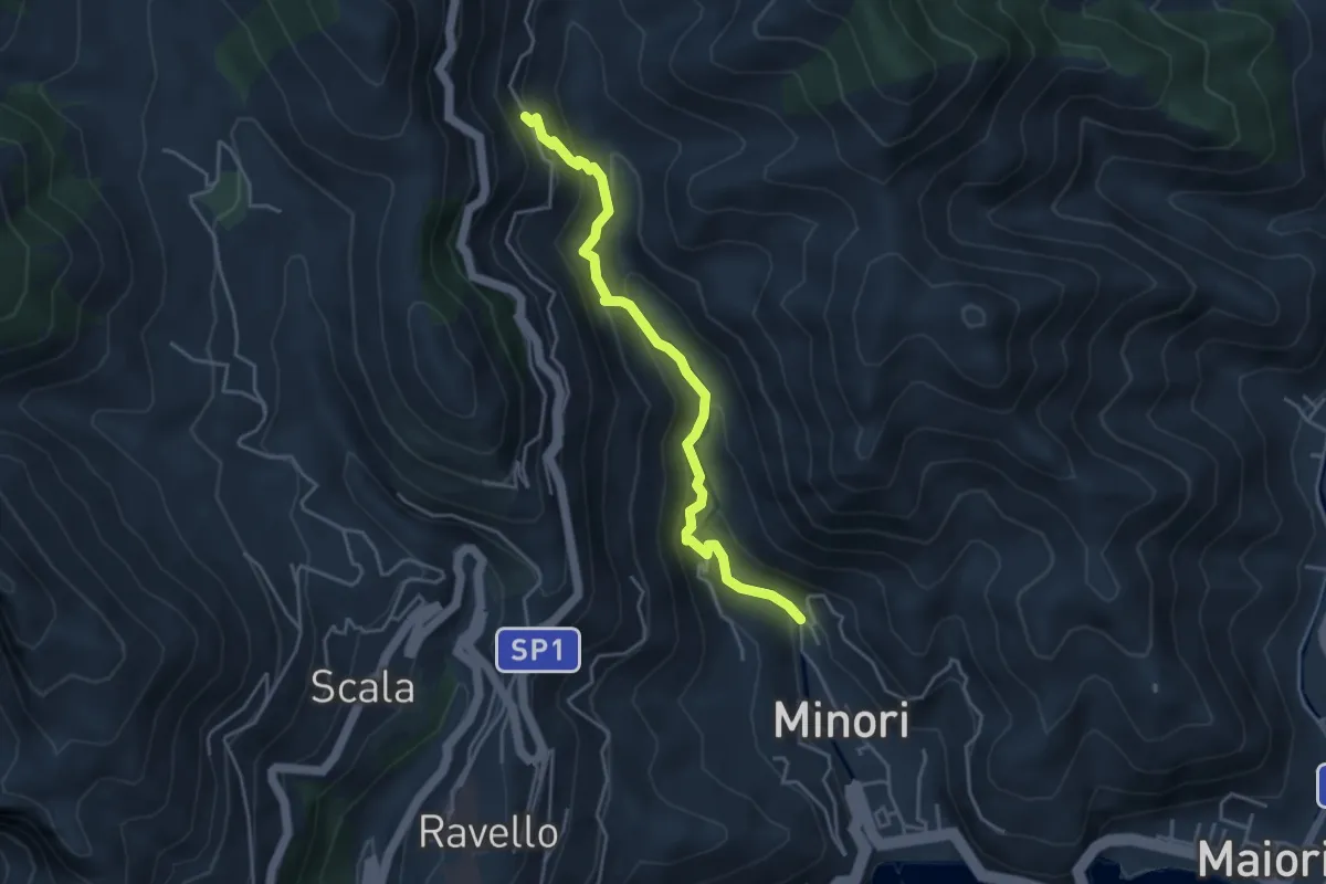
Medium · Trail
Loc. Villamena (Minori) – Loc. Sambuco
4.5 km · ↑ 332 m · 1 h 47 min · 9 km away
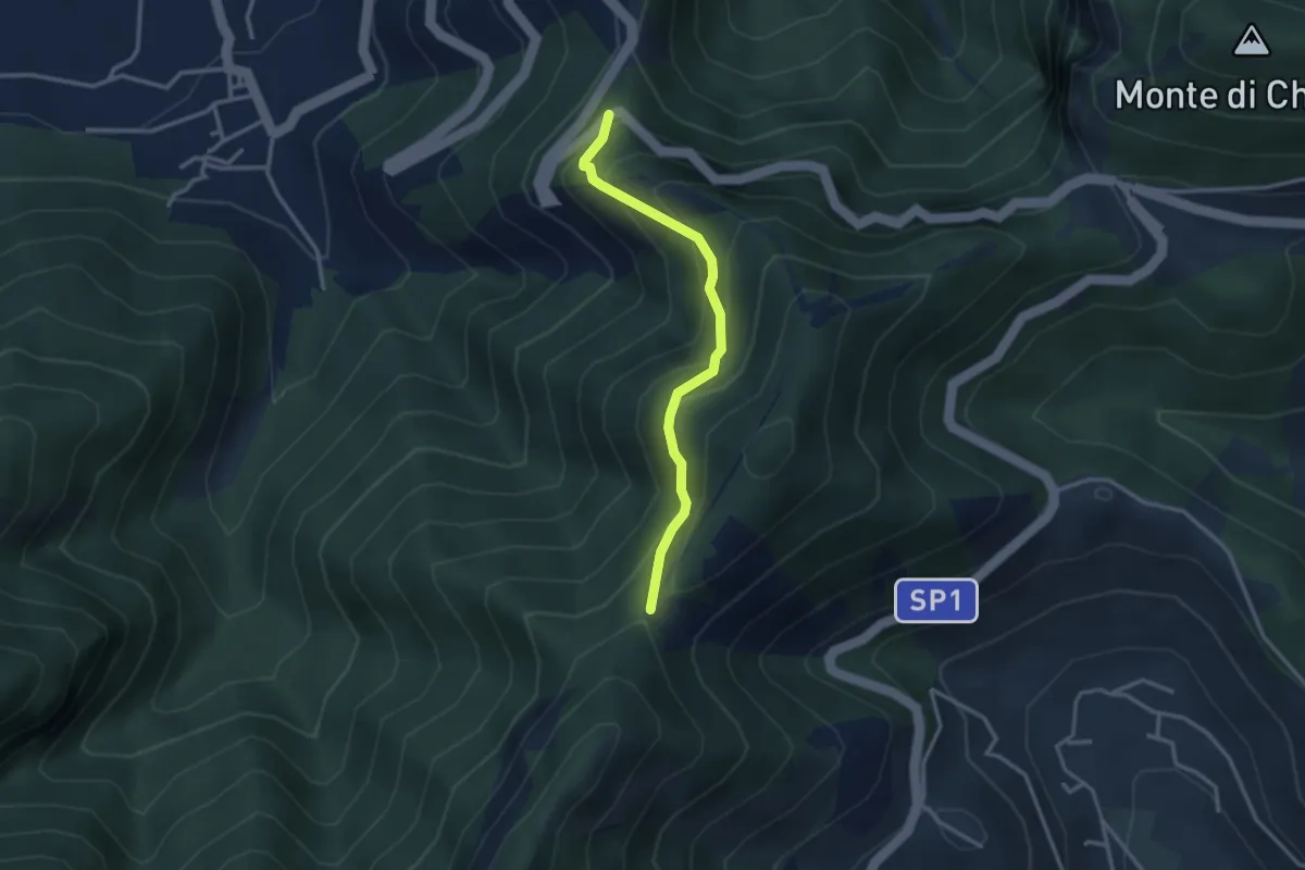
Medium · Trail
Corbara – Tuoro di Cesarano
3.1 km · ↑ 293 m · 1 h 22 min · 9 km away
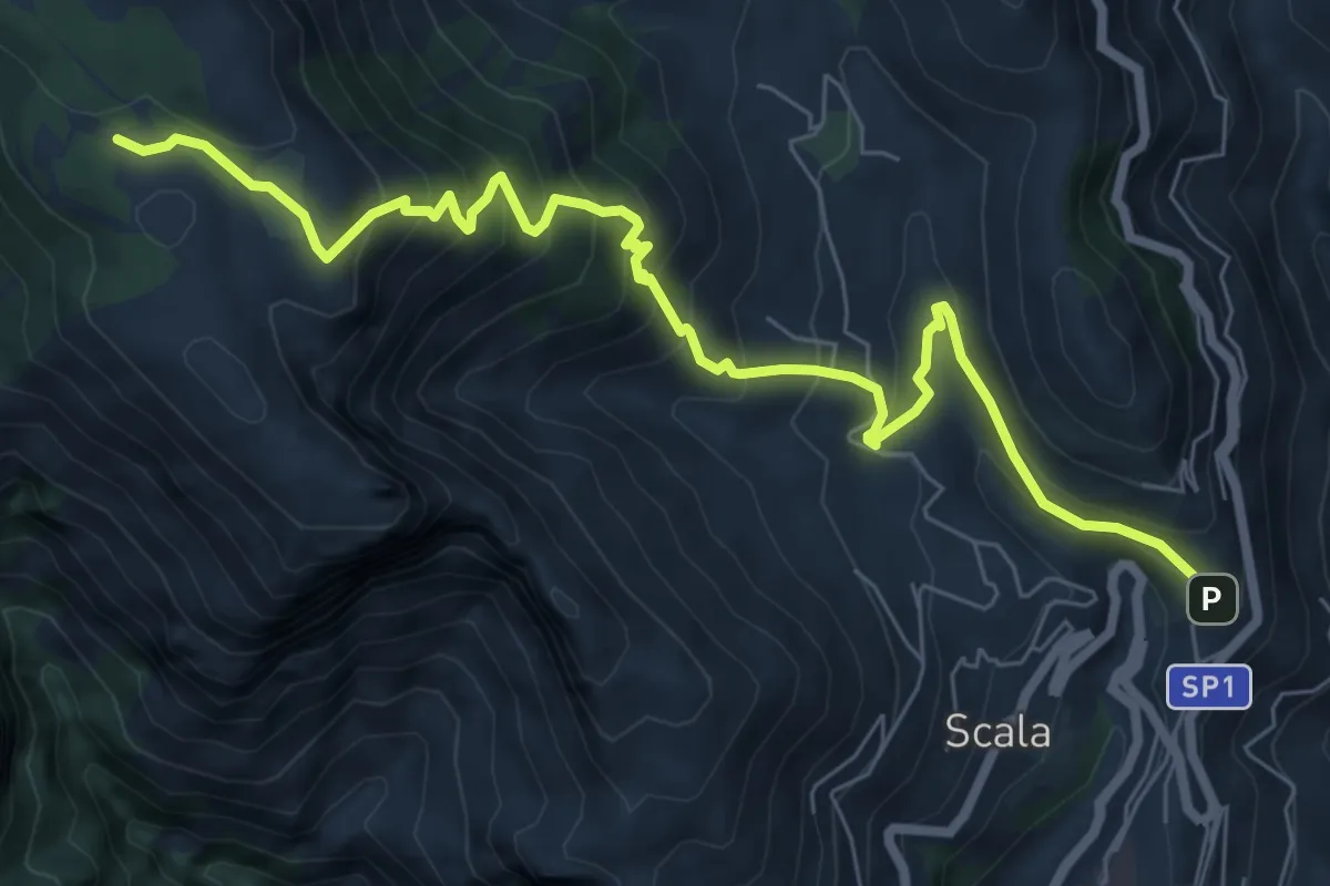
Medium · Trail
Sentiero di Santa Maria ai Monti
9.2 km · ↑ 753 m · 3 h 48 min · 9 km away
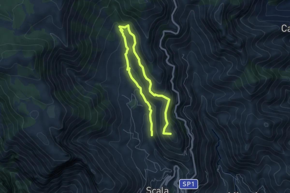
Medium · Summit
Incrocio 353 (Loc. Santa Caterina) – Incrocio 315
9.4 km · ↑ 504 m · 3 h 19 min · 9 km away
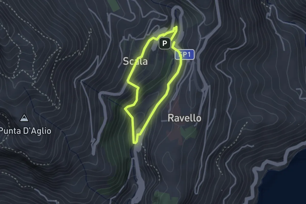
Easy · Trail
Anello del Dragone
2.3 km · ↑ 139 m · 53 min · 10 km away
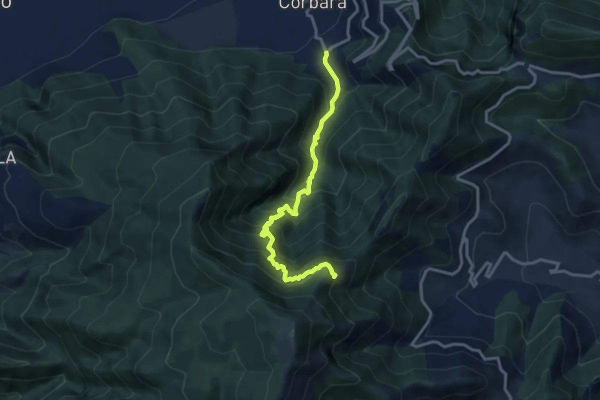
Demanding · Trail
Località Sala (Corbara) – Incrocio 300 (Vena Scalandrone)
8.8 km · ↑ 1089 m · 4 h 26 min · 10 km away
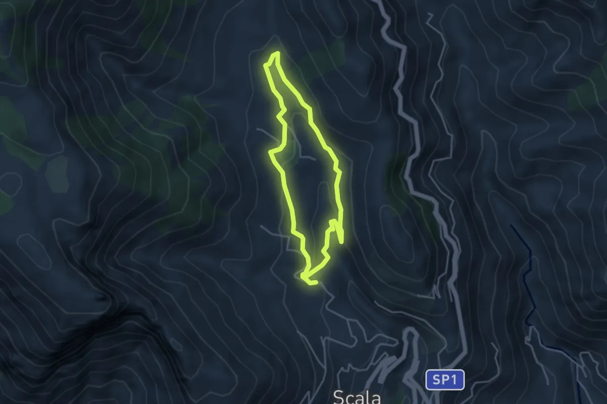
Medium · Trail
Fontana Carosa da Scala
3.6 km · ↑ 145 m · 1 h 12 min · 10 km away
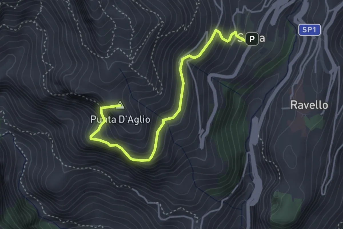
Medium · Summit
Scala – Incrocio 301 (loc. Pellagra)
4.4 km · ↑ 683 m · 2 h 32 min · 10 km away
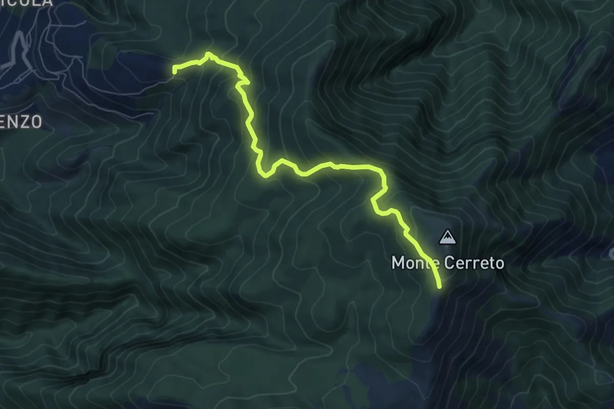
Medium · Trail
Incrocio 330 – Incrocio 300
8.0 km · ↑ 678 m · 3 h 21 min · 10 km away
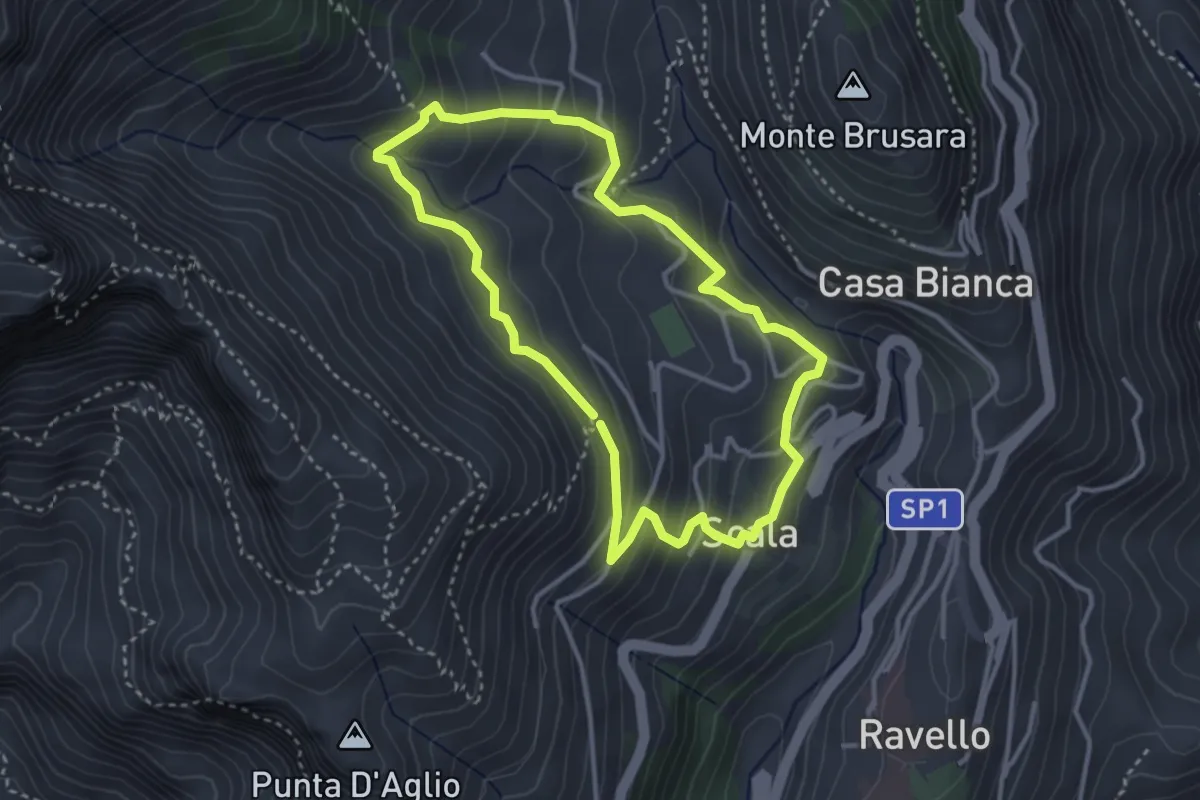
Medium · Trail
Anello di Fra Gerardo Sasso
3.5 km · ↑ 237 m · 1 h 23 min · 10 km away
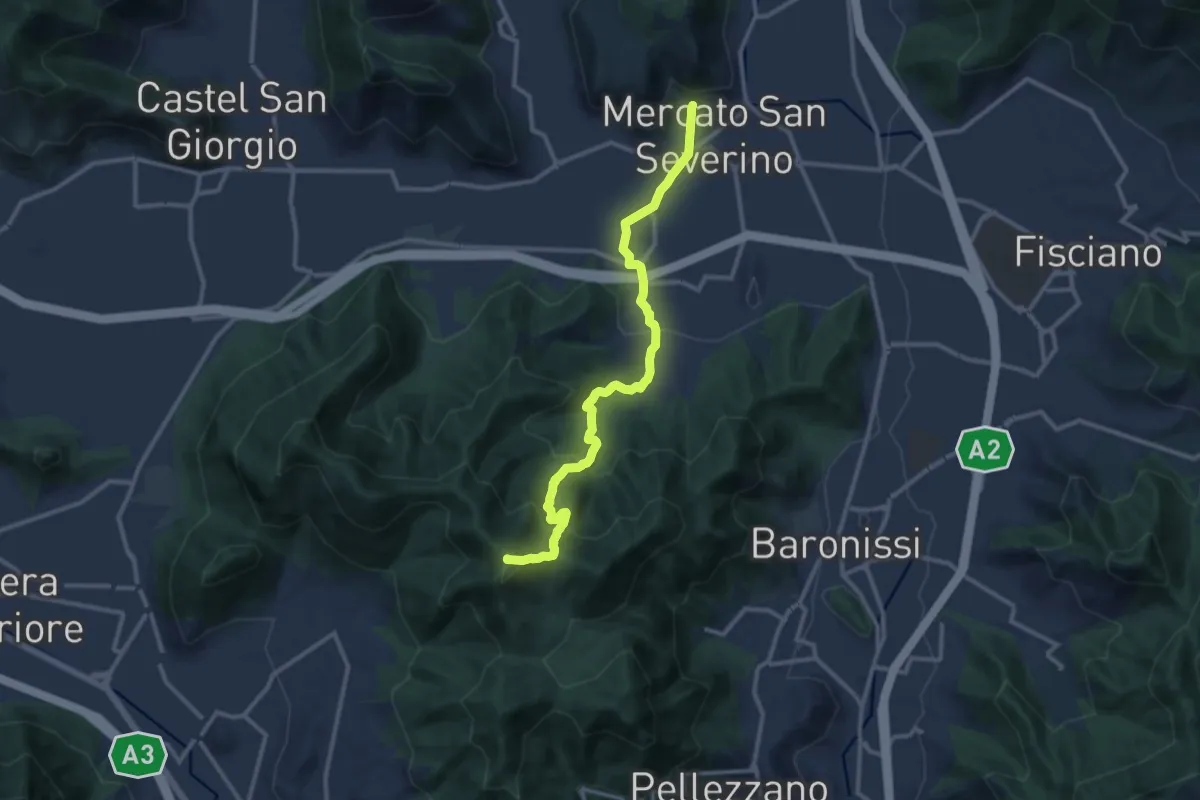
Medium · Summit
Mercato San Severino – Varco della Foce
13.2 km · ↑ 716 m · 4 h 40 min · 10 km away
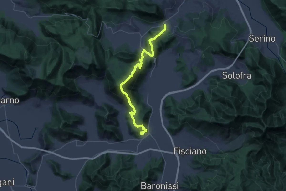
Demanding · Trail
Contrada – Mercato San Severino
15.9 km · ↑ 1073 m · 6 h 11 min · 10 km away
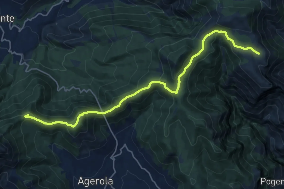
Demanding · Summit
Rifugio Santa Maria dei Monti – Faito
15.5 km · ↑ 690 m · 5 h 9 min · 11 km away
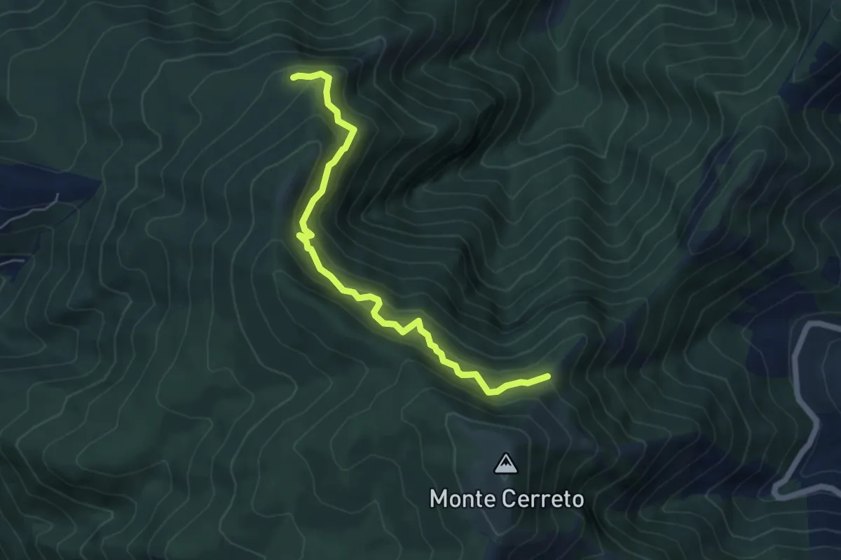
Medium · Trail
Sentiero del professore
5.7 km · ↑ 602 m · 2 h 40 min · 11 km away
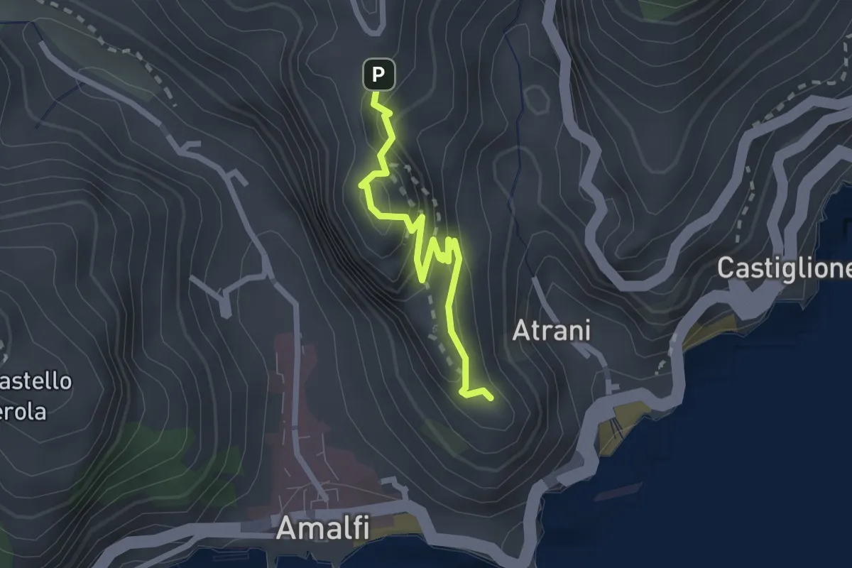
Easy · Trail
Pontone (Scala) – Torre dello Ziro
2.2 km · ↑ 152 m · 51 min · 11 km away
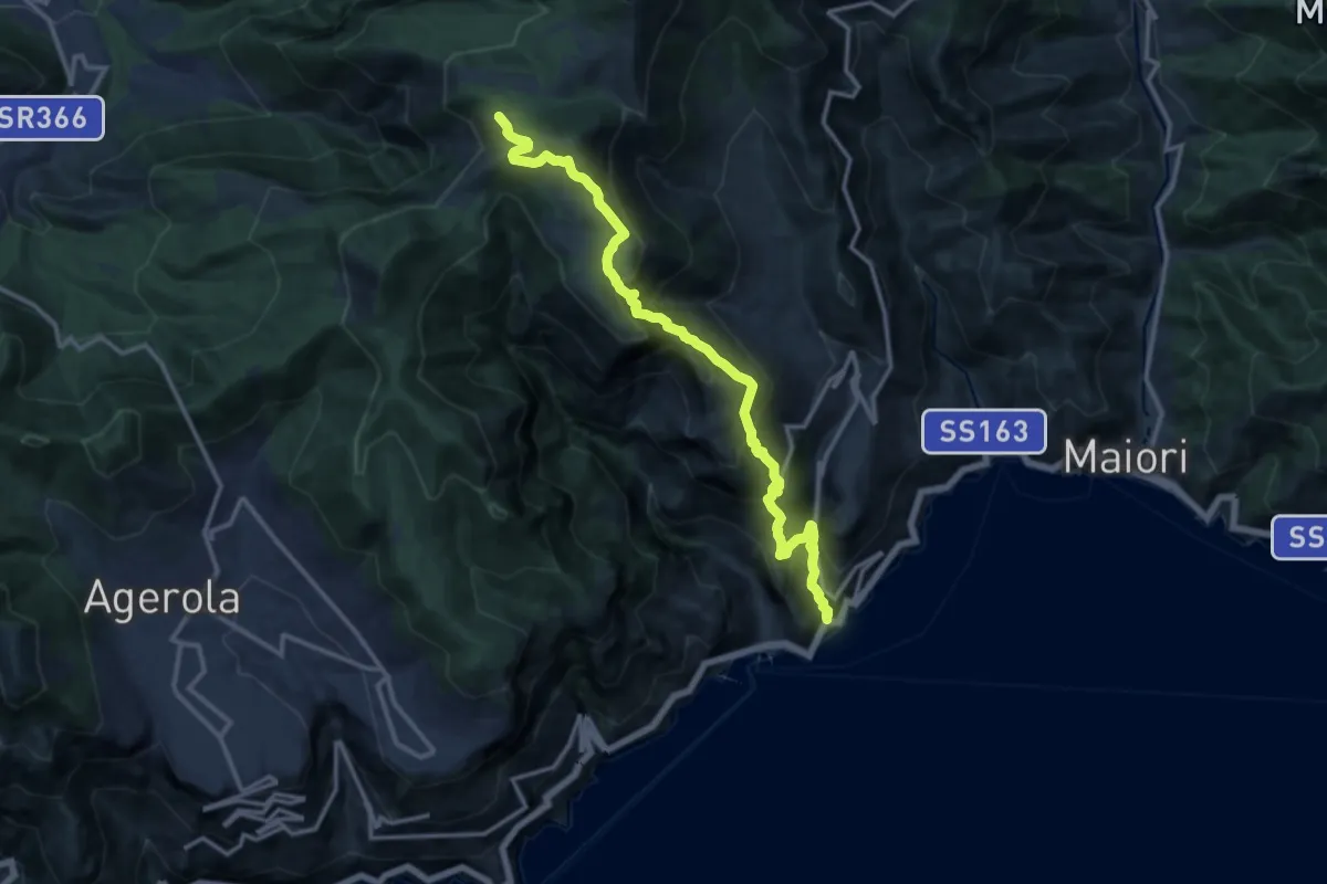
Demanding · Trail
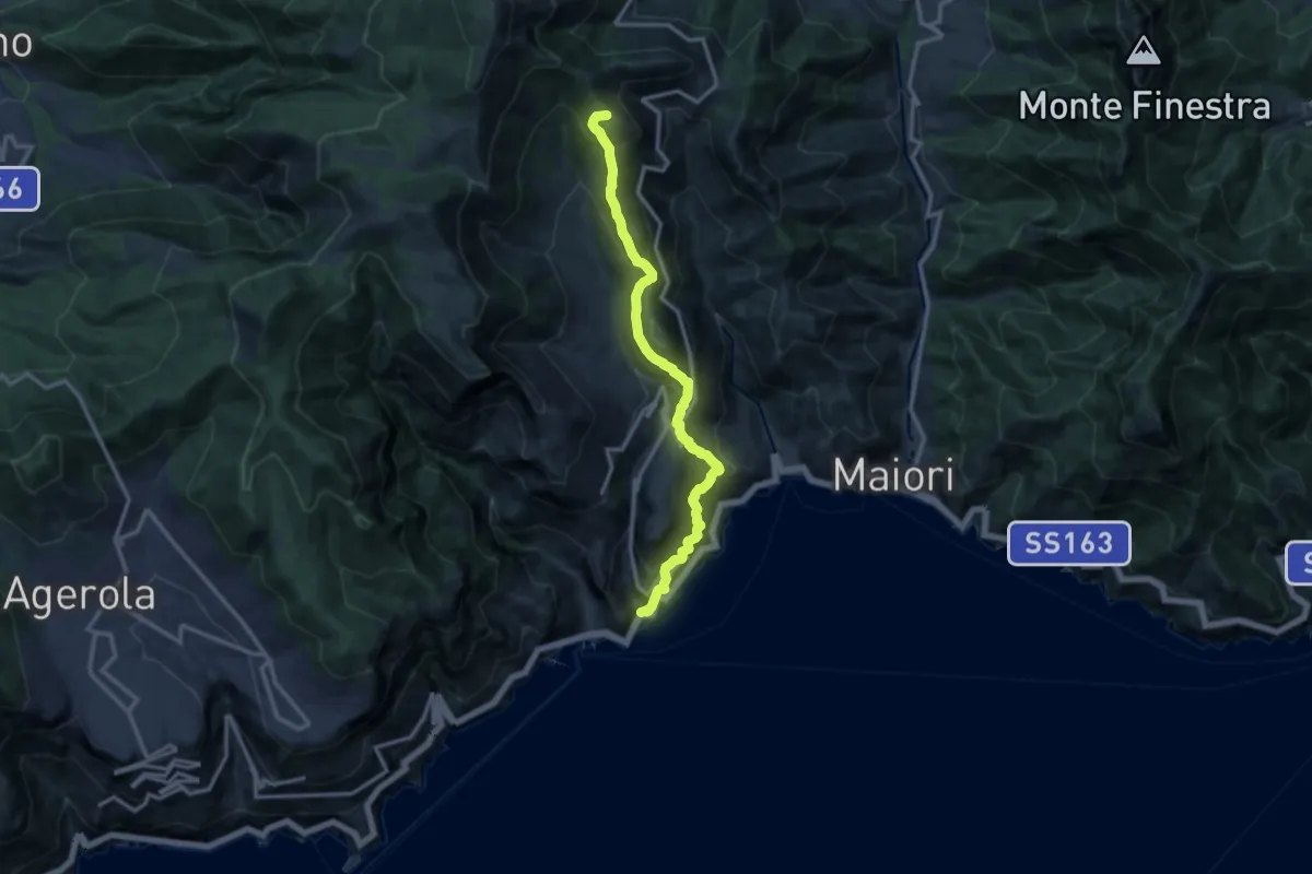
Atrani – Incrocio 300
15.2 km · ↑ 1463 m · 6 h 45 min · 11 km away
Demanding · Summit
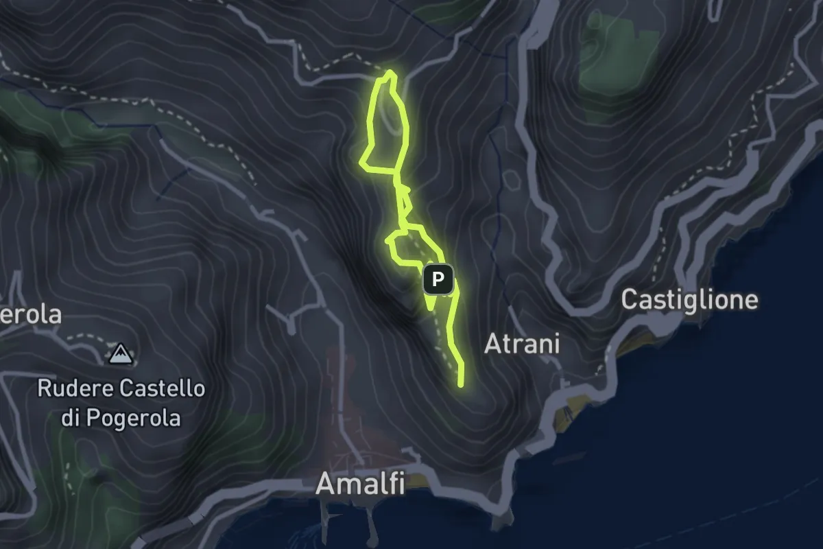
Atrani – Loc. Cerreto
13.7 km · ↑ 1139 m · 5 h 42 min · 11 km away
Easy · Trail
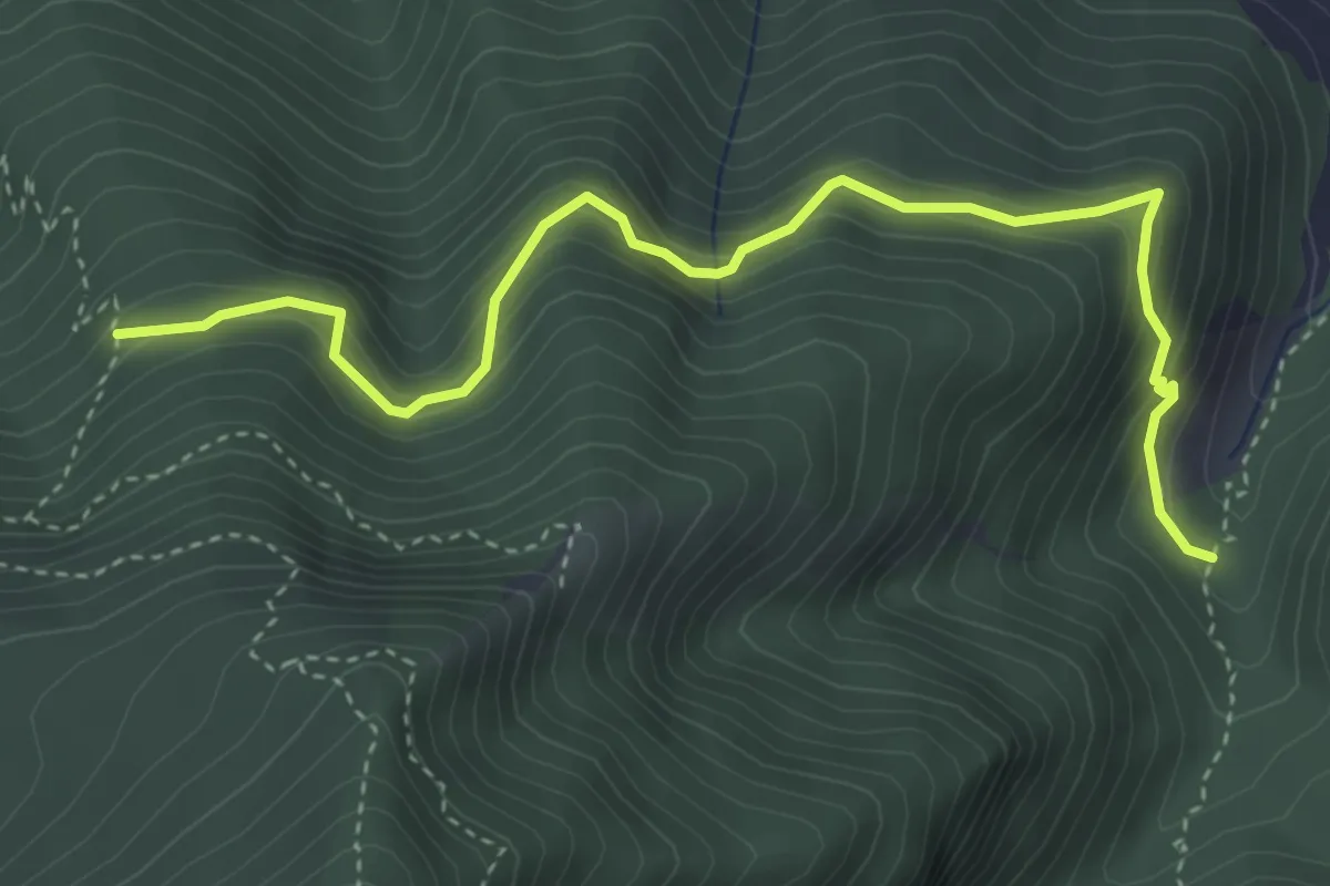
La Torre dello Ziro
2.0 km · ↑ 143 m · 50 min · 11 km away
Medium · Trail
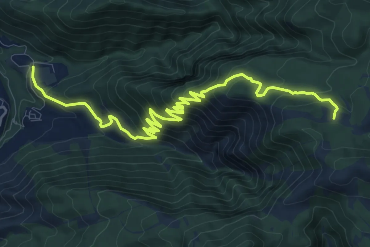
Sentiero della Casa rossa
4.8 km · ↑ 429 m · 2 h 3 min · 11 km away
Demanding · Trail
Chiesa Aurano di Gragnano – Incrocio 300 Megano
14.1 km · ↑ 980 m · 5 h 28 min · 11 km away
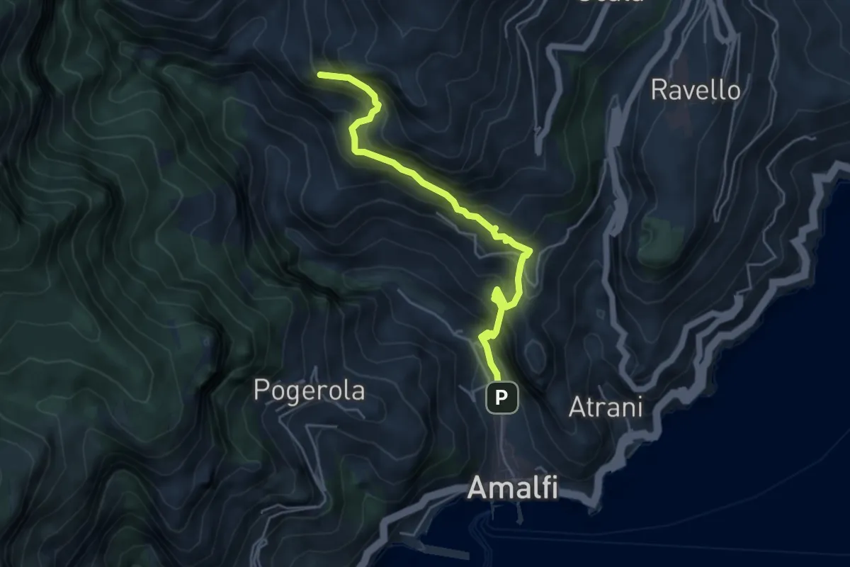
Medium · Trail
Amalfi – Punta D'Aglio
5.2 km · ↑ 623 m · 2 h 35 min · 11 km away
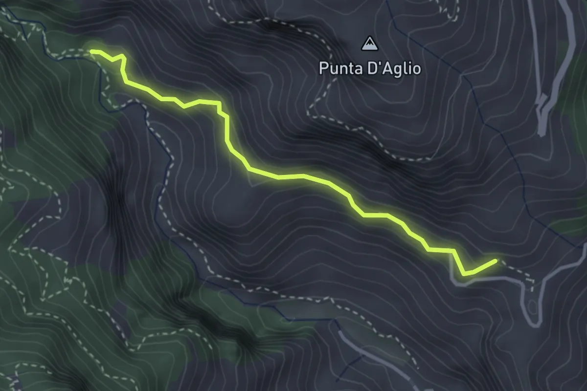
Medium · Trail
Pontone (Scala) – Incrocio 325 (Rudere dela Ferriera)
3.3 km · ↑ 273 m · 1 h 22 min · 12 km away
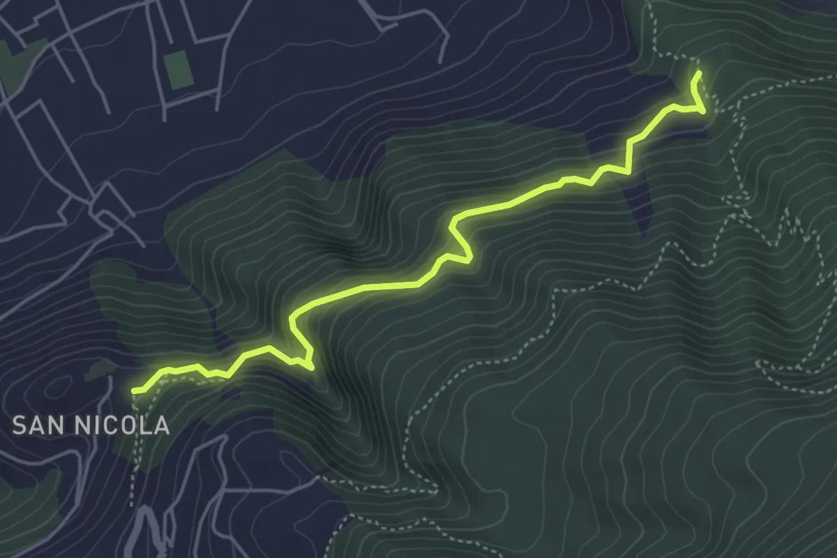
Medium · Trail
Sentiero del Castello di Lettere
5.3 km · ↑ 459 m · 2 h 14 min · 12 km away
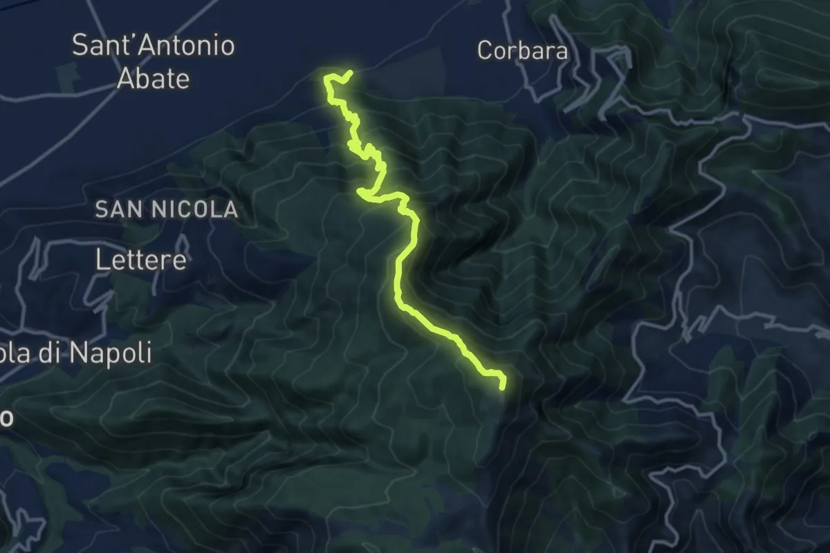
Demanding · Summit
Cimitero Vecchio di Angri – M.Cerreto
12.7 km · ↑ 1374 m · 5 h 59 min · 12 km away
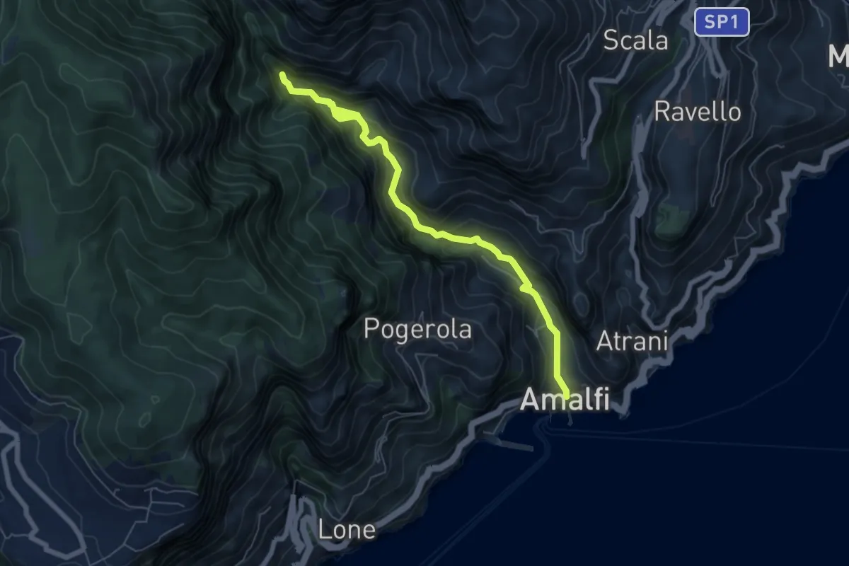
Medium · Trail
Sentiero basso della Valle delle Ferriere
7.1 km · ↑ 466 m · 2 h 41 min · 12 km away
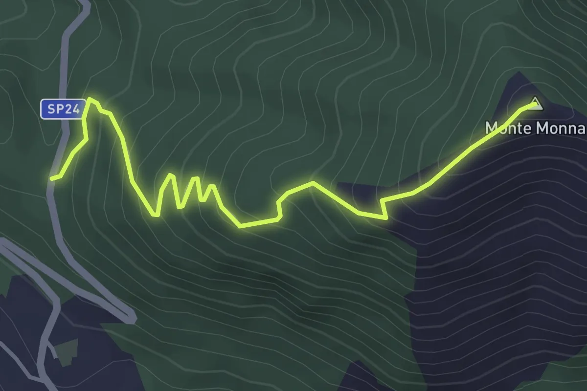
Medium · Summit
SP 24b Castiglione del Genovesi - Calvanico – Monte Monna
4.2 km · ↑ 401 m · 1 h 52 min · 12 km away
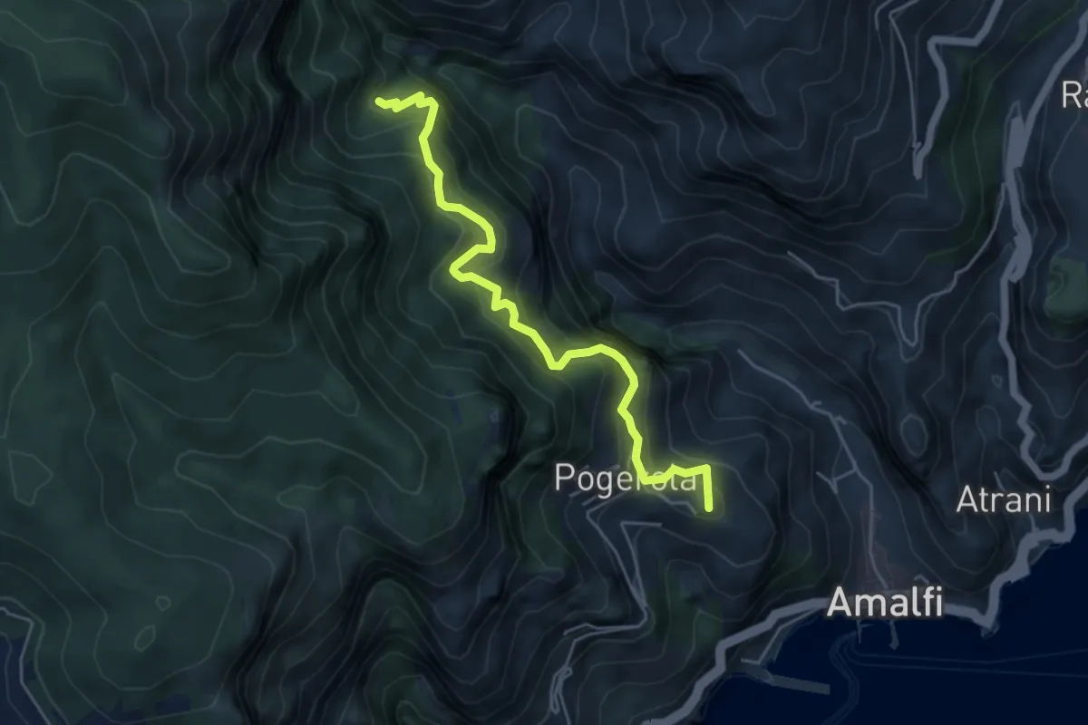
Medium · Summit
Sentiero dei Castagneti di Tavernate
5.5 km · ↑ 616 m · 2 h 39 min · 12 km away
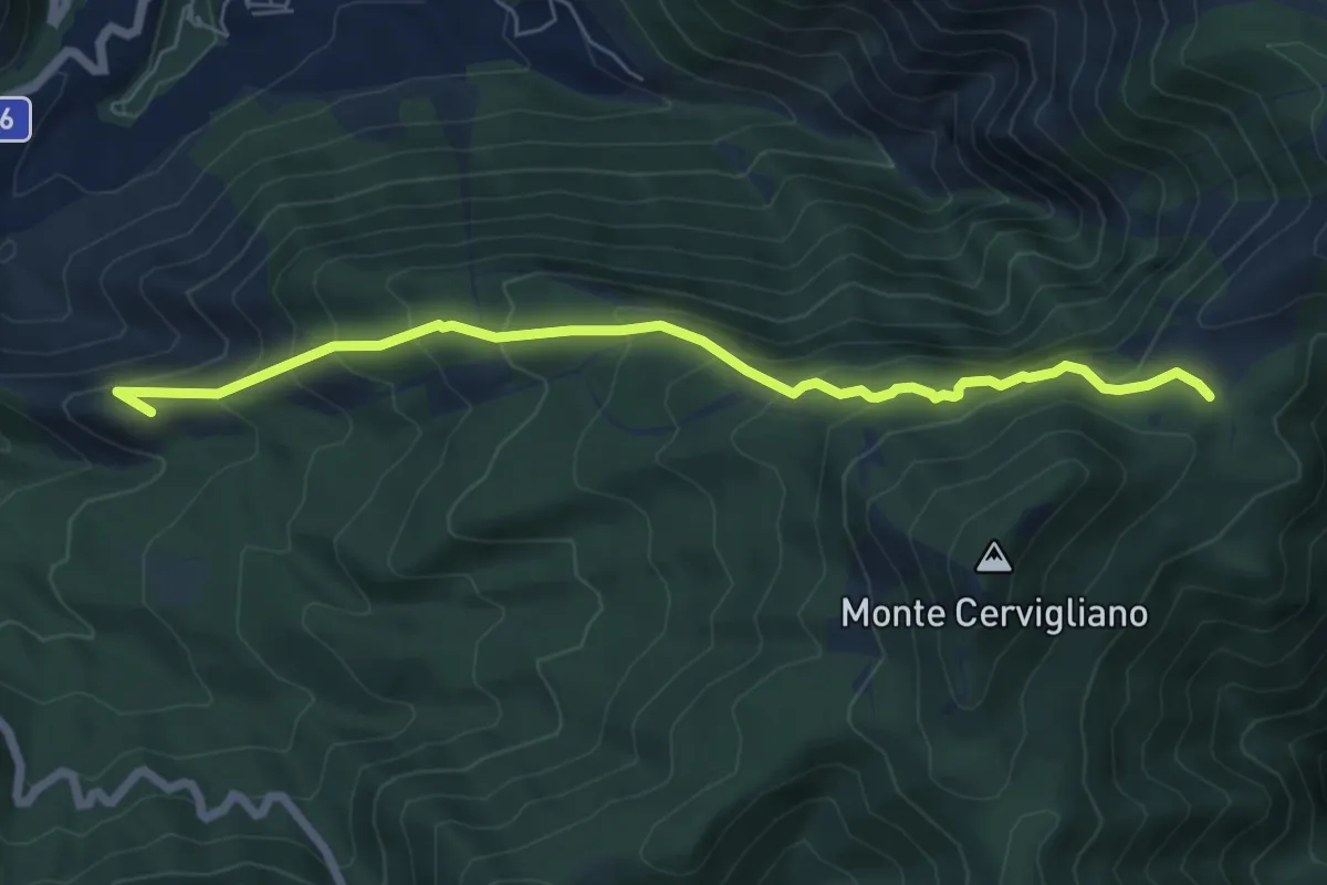
Medium · Summit
Sentiero dei cavalieri di Amalfi
7.3 km · ↑ 602 m · 3 h 1 min · 12 km away
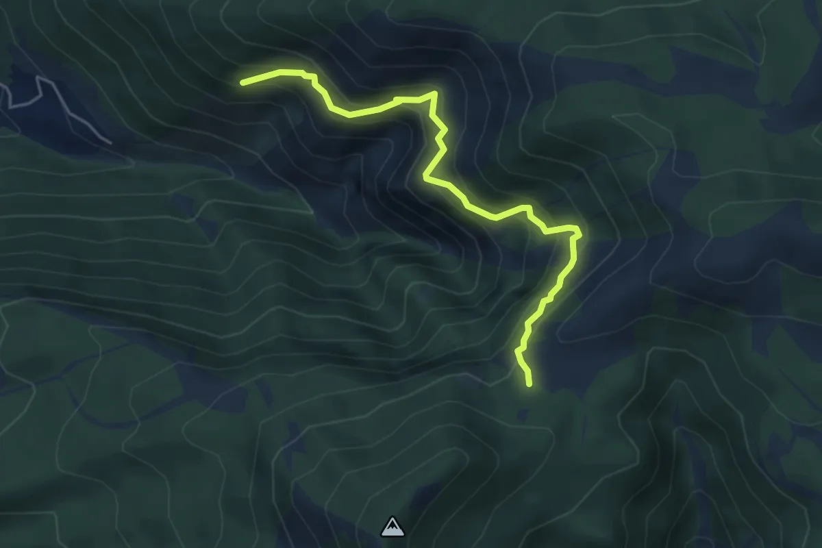
Medium · Trail
Incrocio 326 – Incrocio con 332 nei pressi dell'acqua Vrecciara
5.1 km · ↑ 550 m · 2 h 24 min · 12 km away
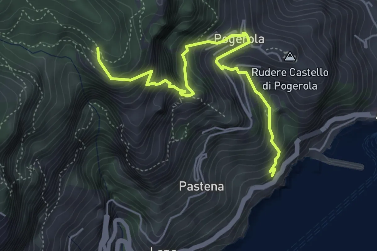
Medium · Trail
Sentiero della Madonna dei Fondi
5.6 km · ↑ 740 m · 2 h 56 min · 13 km away
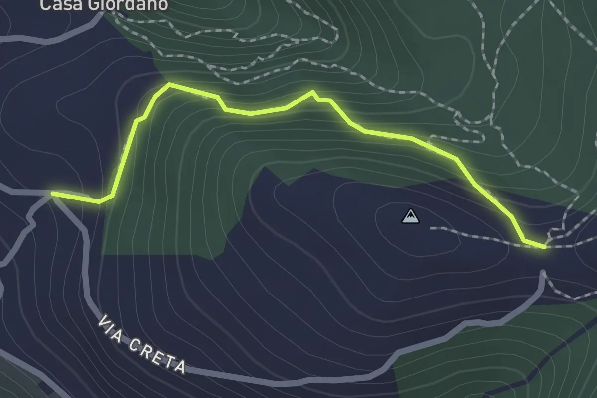
Medium · Trail
La Creta
2.0 km · ↑ 187 m · 53 min · 13 km away
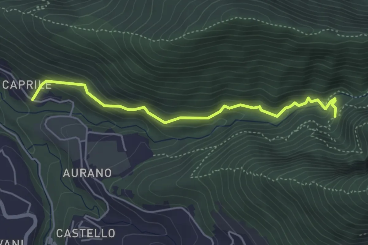
Medium · Trail
Il Butto dell'Acqua
4.5 km · ↑ 282 m · 1 h 41 min · 13 km away
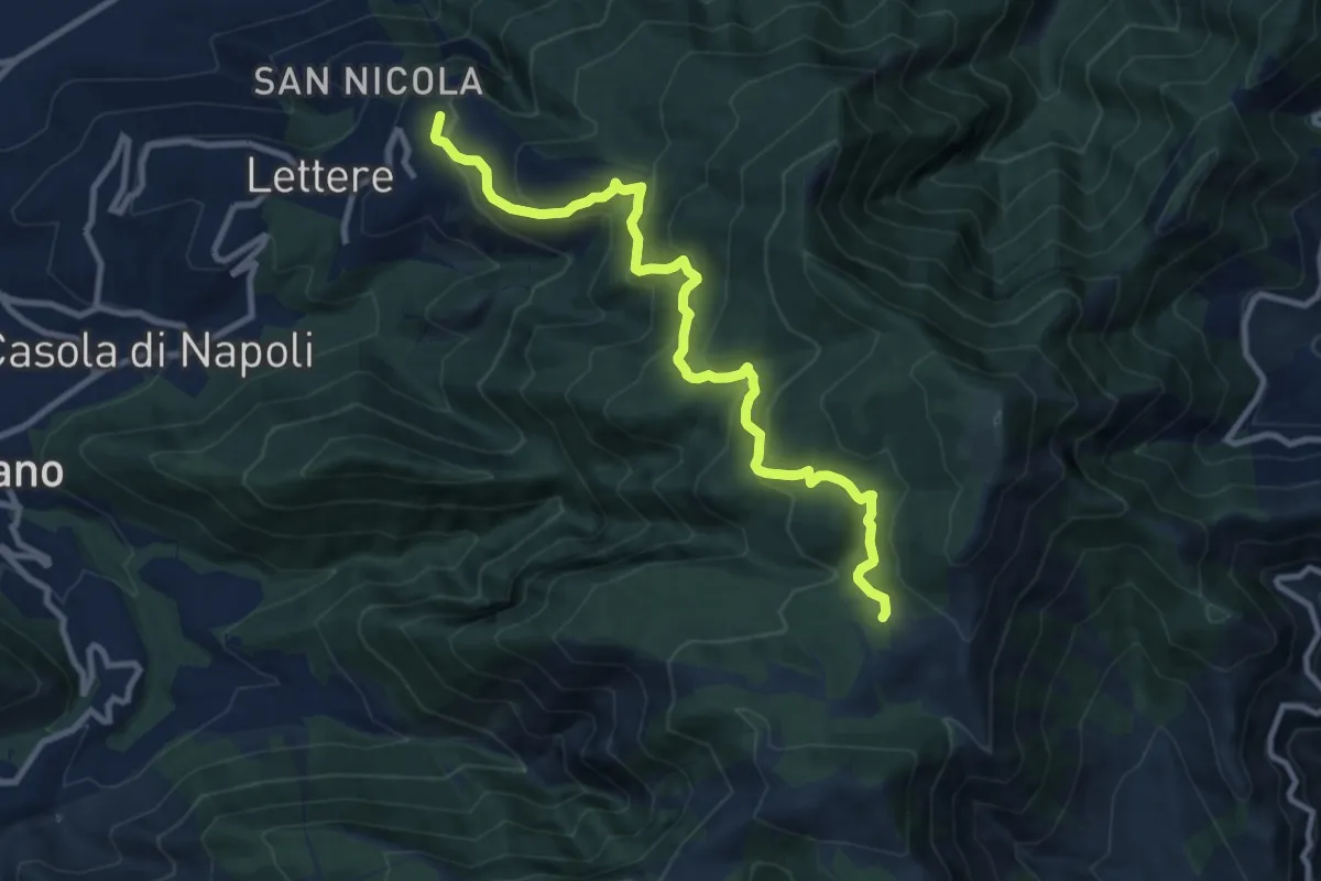
Medium · Trail
Mulattiera Orsano-Megano
11.5 km · ↑ 734 m · 4 h 18 min · 13 km away
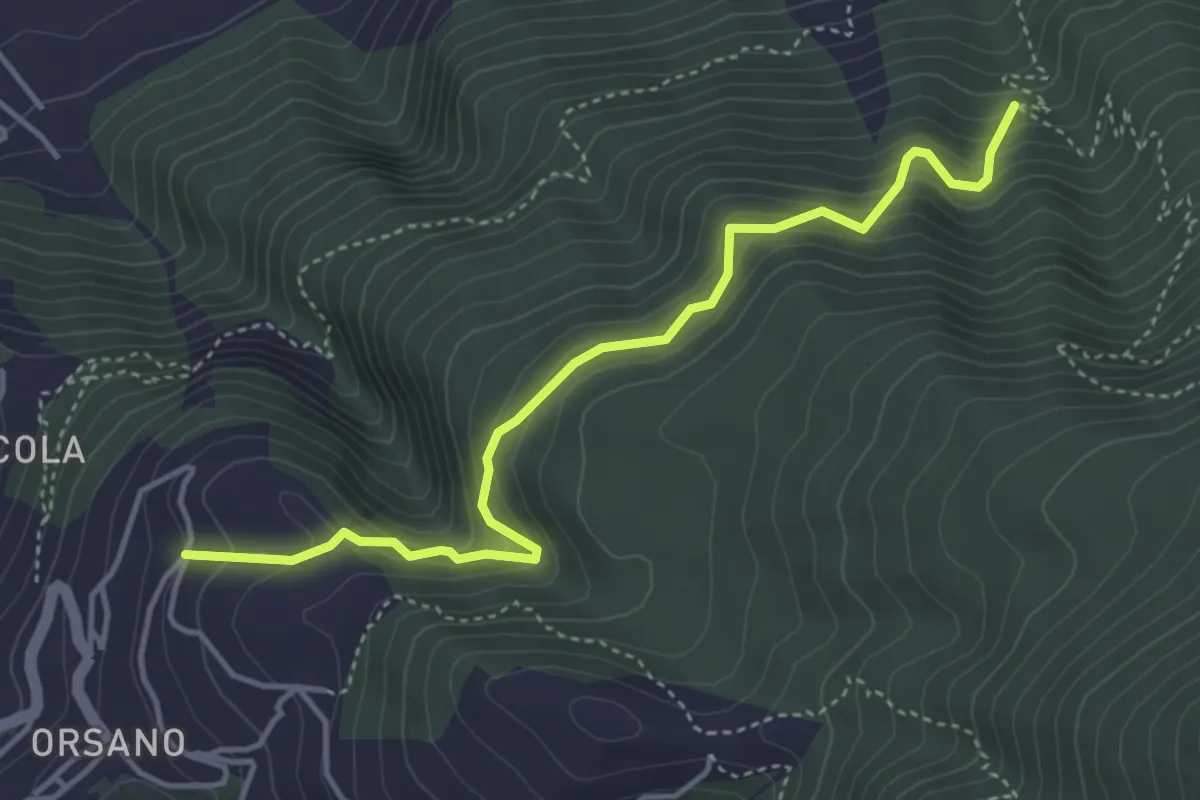
Medium · Trail
Sentiero di Orsano
4.8 km · ↑ 484 m · 2 h 11 min · 13 km away
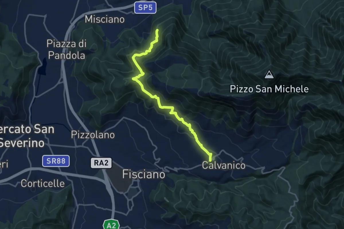
Medium · Trail
Santuario dell'Incoronata (Montoro Inferiore) – Santuario del Salvatore (Piè di Calvanico)
12.8 km · ↑ 600 m · 4 h 19 min · 13 km away
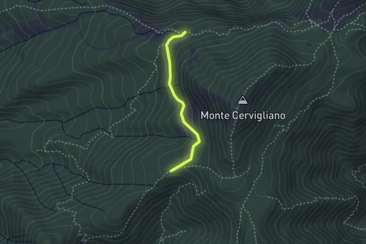
Medium · Trail
Sentiero delle sorgenti
2.6 km · ↑ 120 m · 53 min · 13 km away
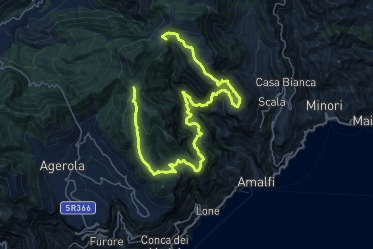
Demanding · Summit
Sentiero alto della Valle delle Ferriere
27.7 km · ↑ 2378 m · 11 h 42 min · 13 km away
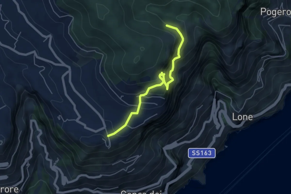
Expert · Trail
Ferrata di Cospita
4.7 km · ↑ 493 m · 2 h 11 min · 13 km away
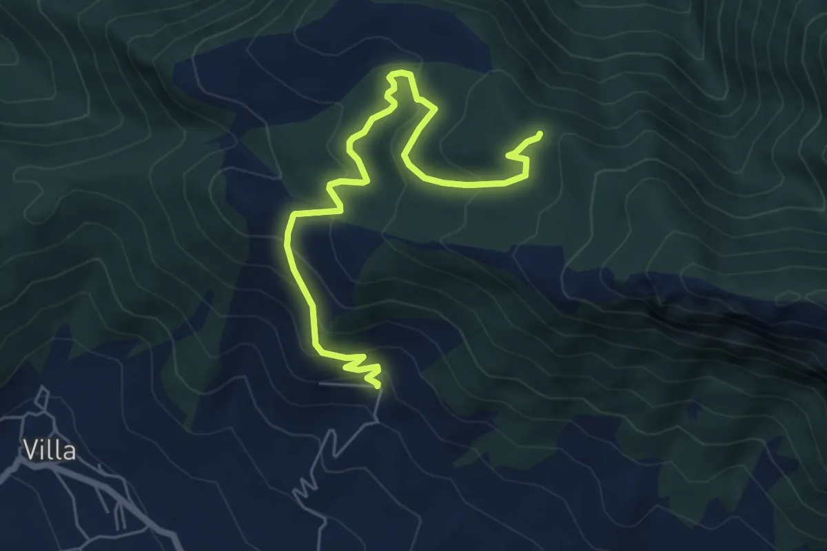
Medium · Trail
San Michele di Basso (Fisciano) – Innesto 136
7.0 km · ↑ 377 m · 2 h 28 min · 13 km away
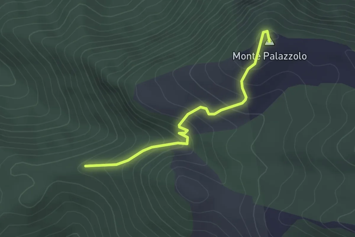
Easy · Summit
Cisterne – Monte Palazzolo
3.3 km · ↑ 284 m · 1 h 24 min · 13 km away
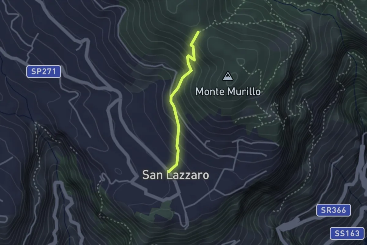
Medium · Trail
S.Lazzaro Piazza Avitabile – Incrocio 301 Monte
2.4 km · ↑ 226 m · 1 h 3 min · 14 km away
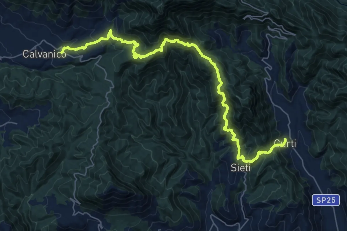
Demanding · Trail
Tre Comuni Trek
13.8 km · ↑ 955 m · 5 h 34 min · 14 km away
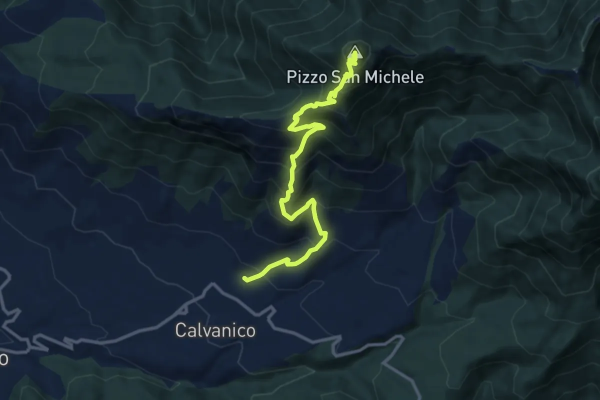
Demanding · Summit
Capo Calvanico – Pizzo San Michele
9.6 km · ↑ 987 m · 4 h 24 min · 14 km away
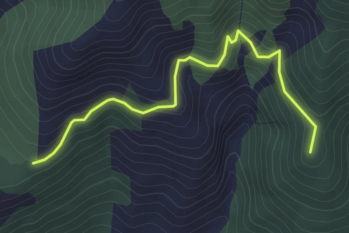
Medium · Summit
Pian della Colla (Sarno) – Cappella di Siano
4.0 km · ↑ 419 m · 1 h 52 min · 14 km away
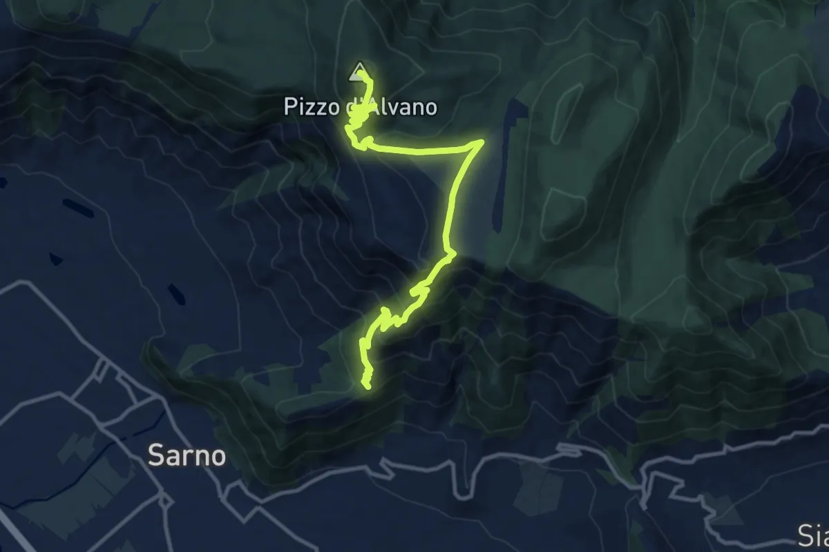
Demanding · Summit
Pian della Colla (Sarno) – Pizzo d'Alvano
13.2 km · ↑ 807 m · 4 h 52 min · 14 km away
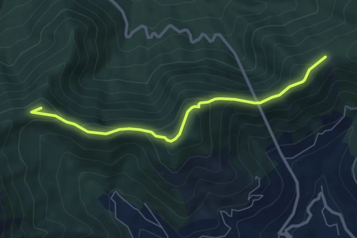
Demanding · Summit
Alta Via dei Monti Lattari - 06
6.0 km · ↑ 384 m · 2 h 15 min · 14 km away
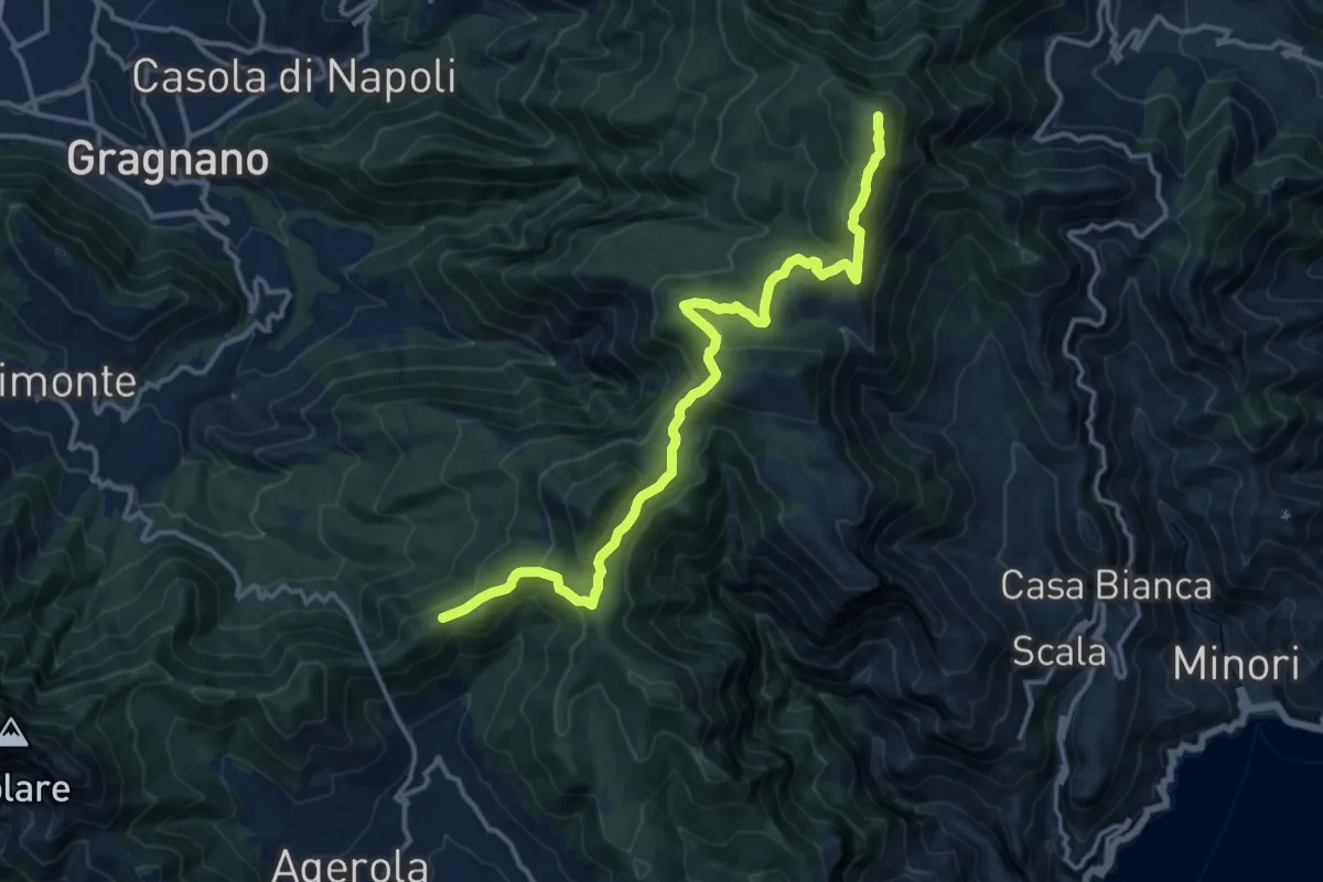
Medium · Summit
Alta Via dei Monti Lattari - 05
16.1 km · ↑ 638 m · 5 h 11 min · 14 km away
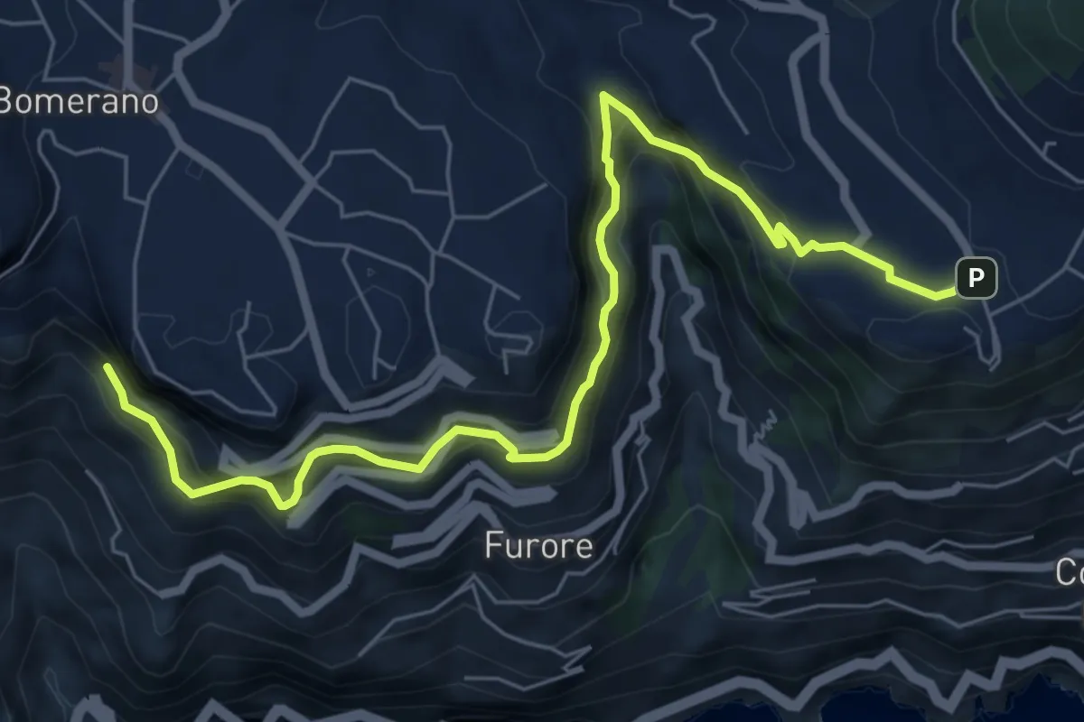
Medium · Trail
Sentiero di Abu Tabela
8.2 km · ↑ 718 m · 3 h 29 min · 14 km away