Trails near Cave
46 hikes starting within 15 km, nearest first.
Nearest first
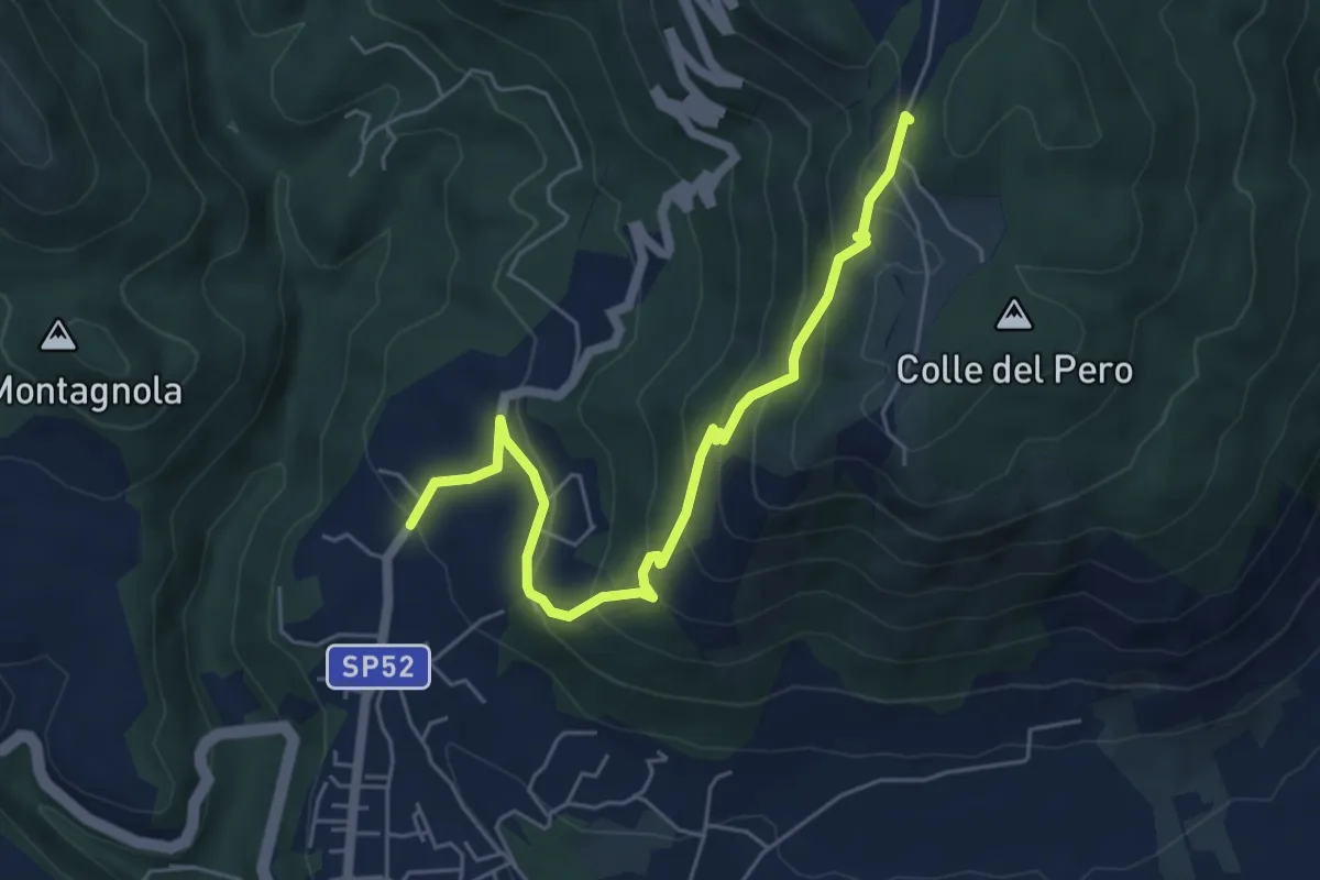
Medium · Summit
Cave - ex Stazione – Capranica Prenestina
6.3 km · ↑ 423 m · 2 h 24 min · 1 km away
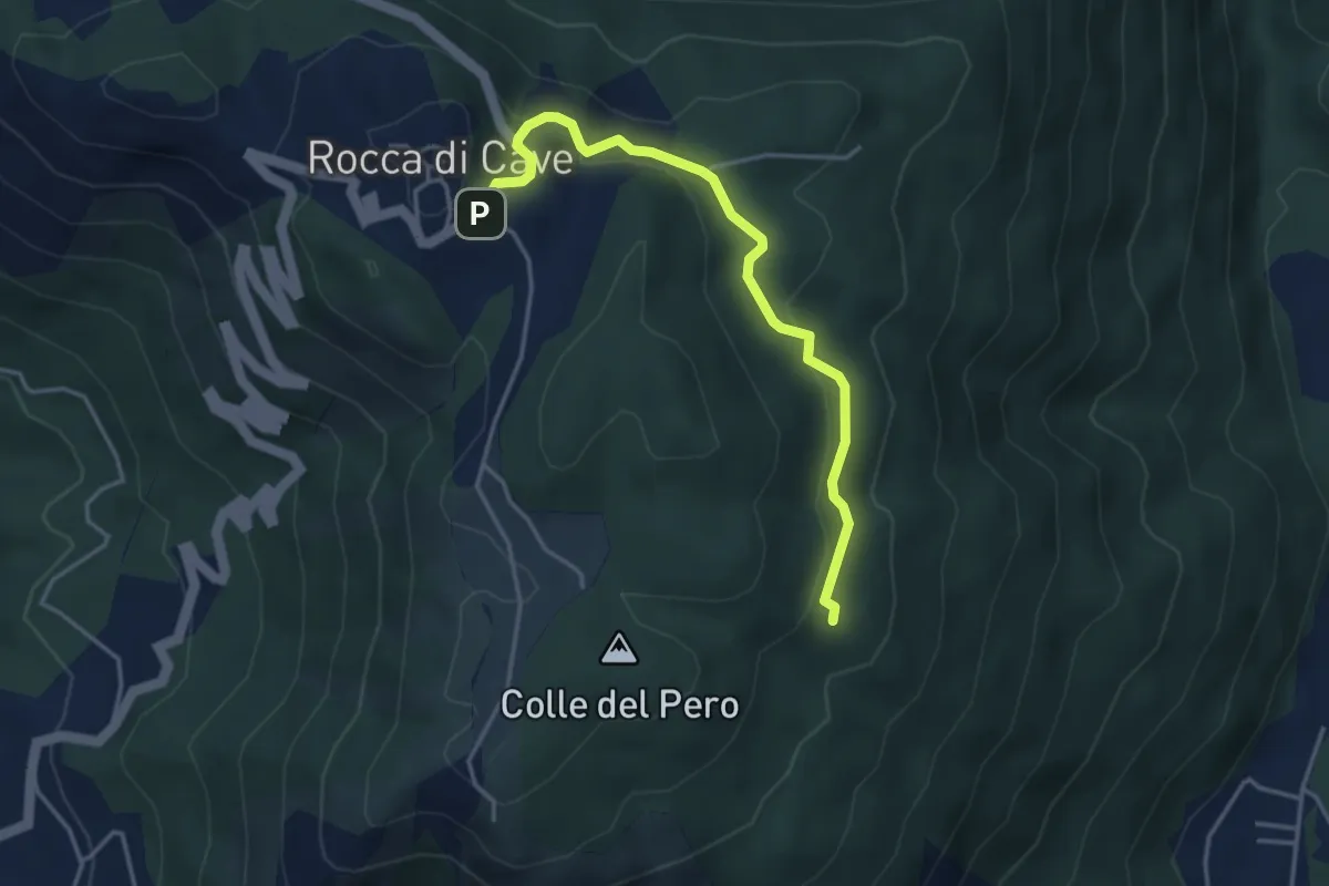
Easy · Trail
Rocca di Cave - Via Capranica P. incrocio Via Genazzano – Incrocio sentiero 503
4.2 km · ↑ 184 m · 1 h 24 min · 3 km away
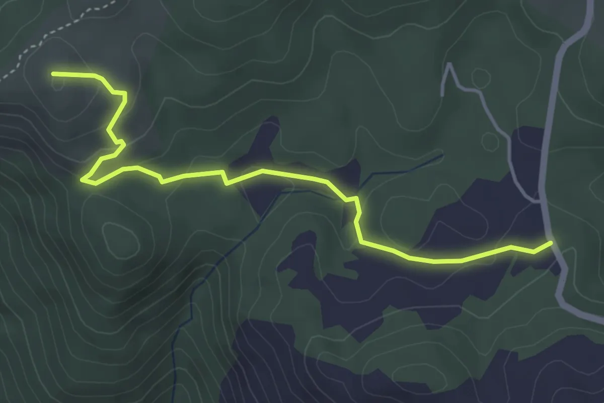
Easy · Summit
Percorso 508 – Percorso 509
4.6 km · ↑ 168 m · 1 h 27 min · 4 km away
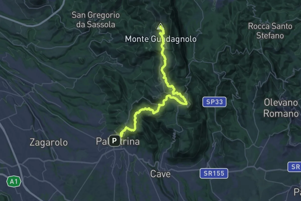
Demanding · Summit
CNP - 04 - Palestrina - Guadagnolo
36.4 km · ↑ 1613 m · 12 h 5 min · 4 km away
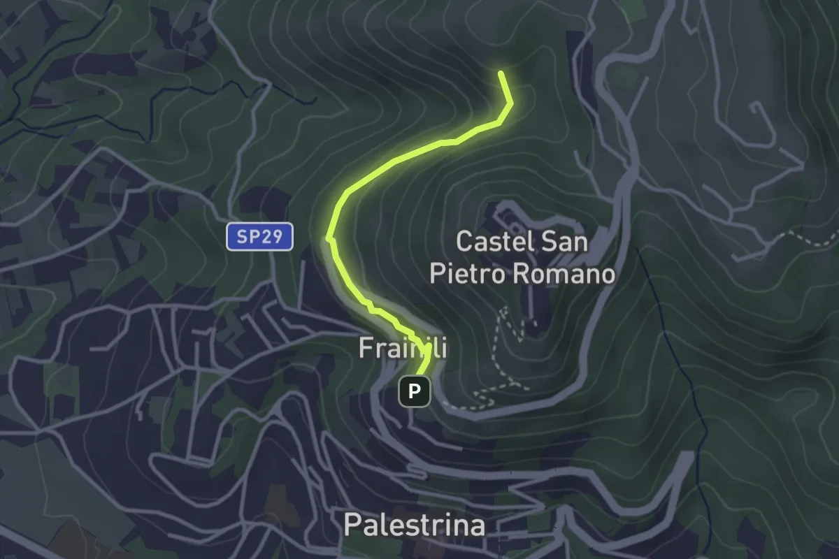
Easy · Summit
Castel S.Pietro Romano Loc. Fontana Nuova – Palestrina - Franili
2.7 km · ↑ 112 m · 53 min · 4 km away
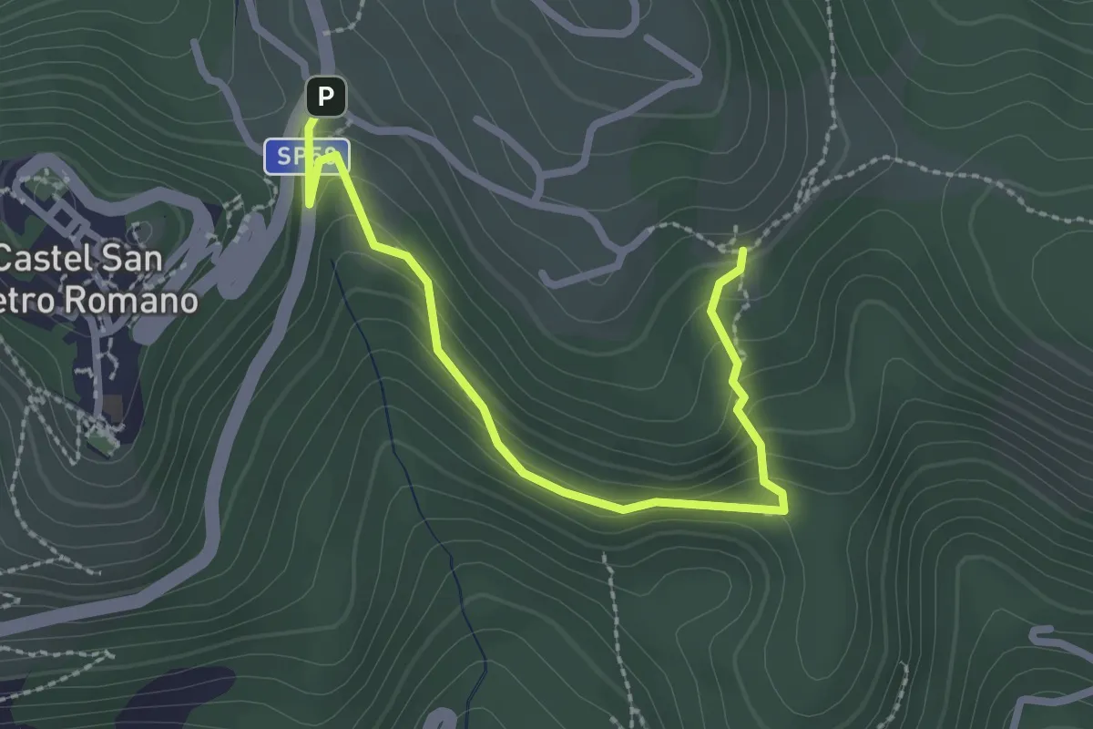
Easy · Trail
Castel San Pietro Romano, Località Fontana Nuova – Localià "I Colli" - Incrocio percorso 509
2.9 km · ↑ 151 m · 1 h · 4 km away
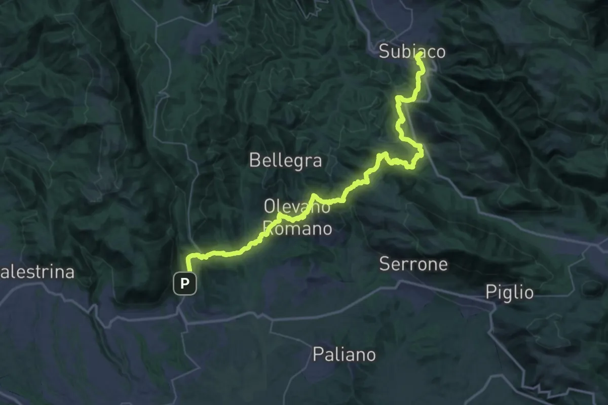
Demanding · Trail
Cammino di San Tommaso - Tappa 4
24.7 km · ↑ 1052 m · 8 h 26 min · 4 km away
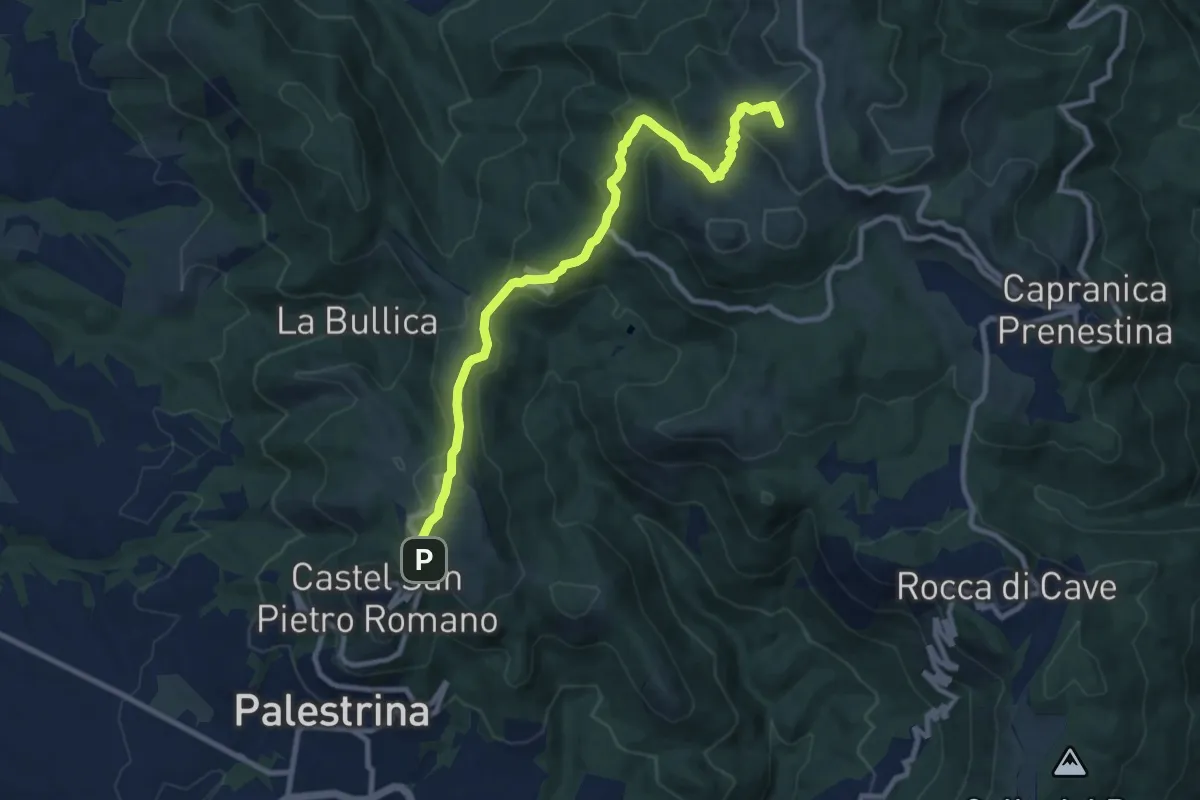
Medium · Summit
Castel San Pietro Romano-Colle Cialdea
10.6 km · ↑ 452 m · 3 h 29 min · 4 km away
Medium · Trail
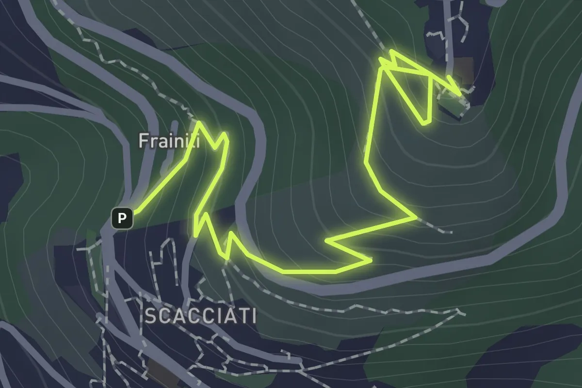
Sentiero Storico Formale - La Costa
3.0 km · ↑ 210 m · 1 h 10 min · 4 km away
Medium · Summit
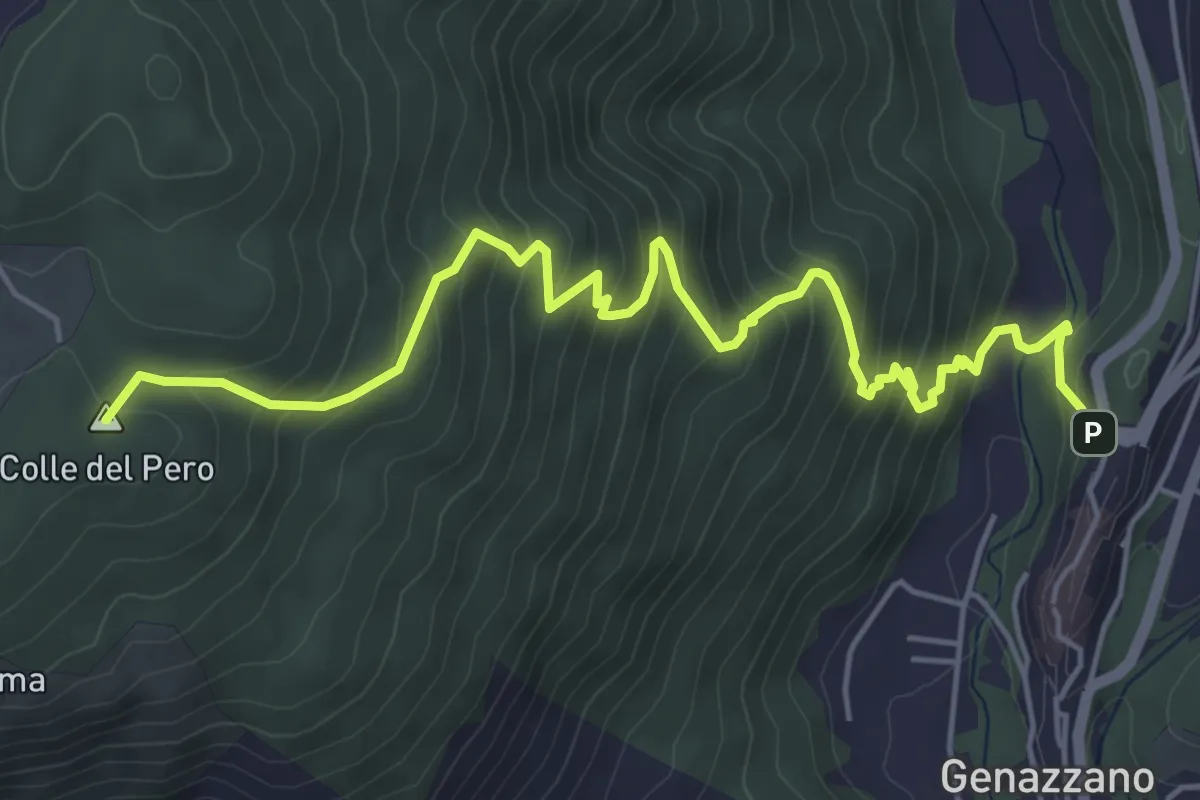
Genazzano – Rocca di Cave
6.7 km · ↑ 565 m · 2 h 49 min · 4 km away
Medium · Trail
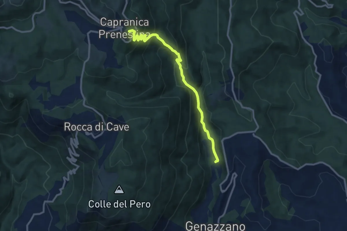
Genazzano-Capranica Prenestina
8.2 km · ↑ 576 m · 3 h 12 min · 4 km away
Medium · Trail
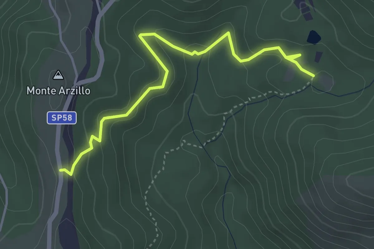
SP58a altezza Casale delle Ginestre – Innesto su sentiero 509
4.3 km · ↑ 178 m · 1 h 24 min · 5 km away
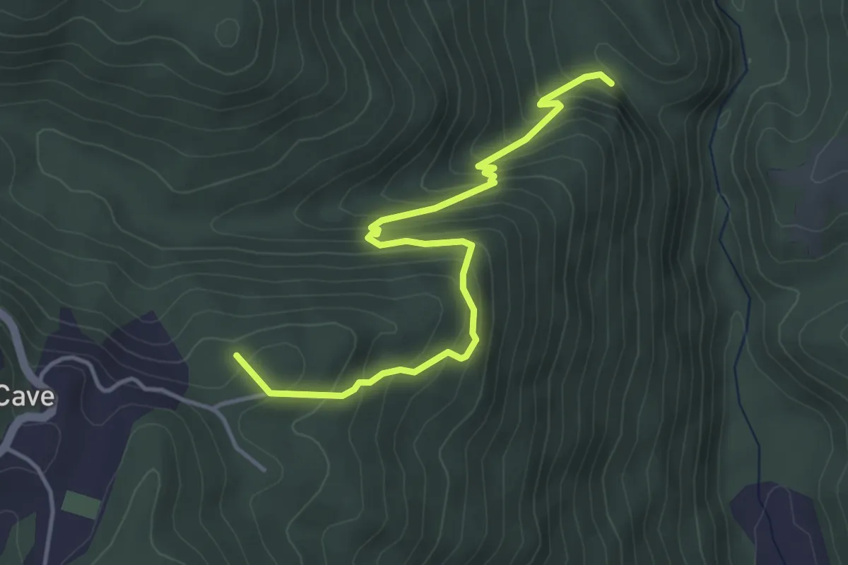
Medium · Summit
Genazzano – Rocca di Cave
4.6 km · ↑ 408 m · 1 h 59 min · 5 km away
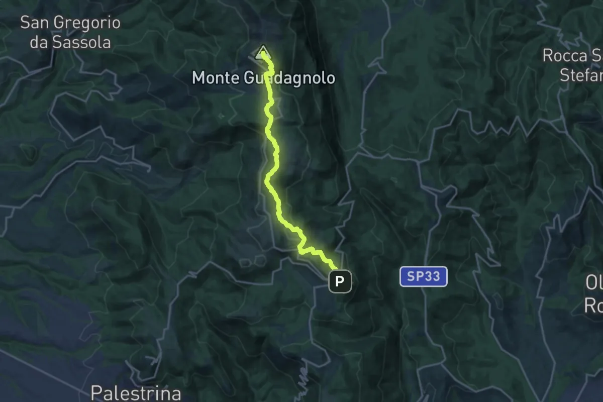
Medium · Summit
Capranica Prenestina – Guadagnolo
15.4 km · ↑ 669 m · 5 h 5 min · 5 km away
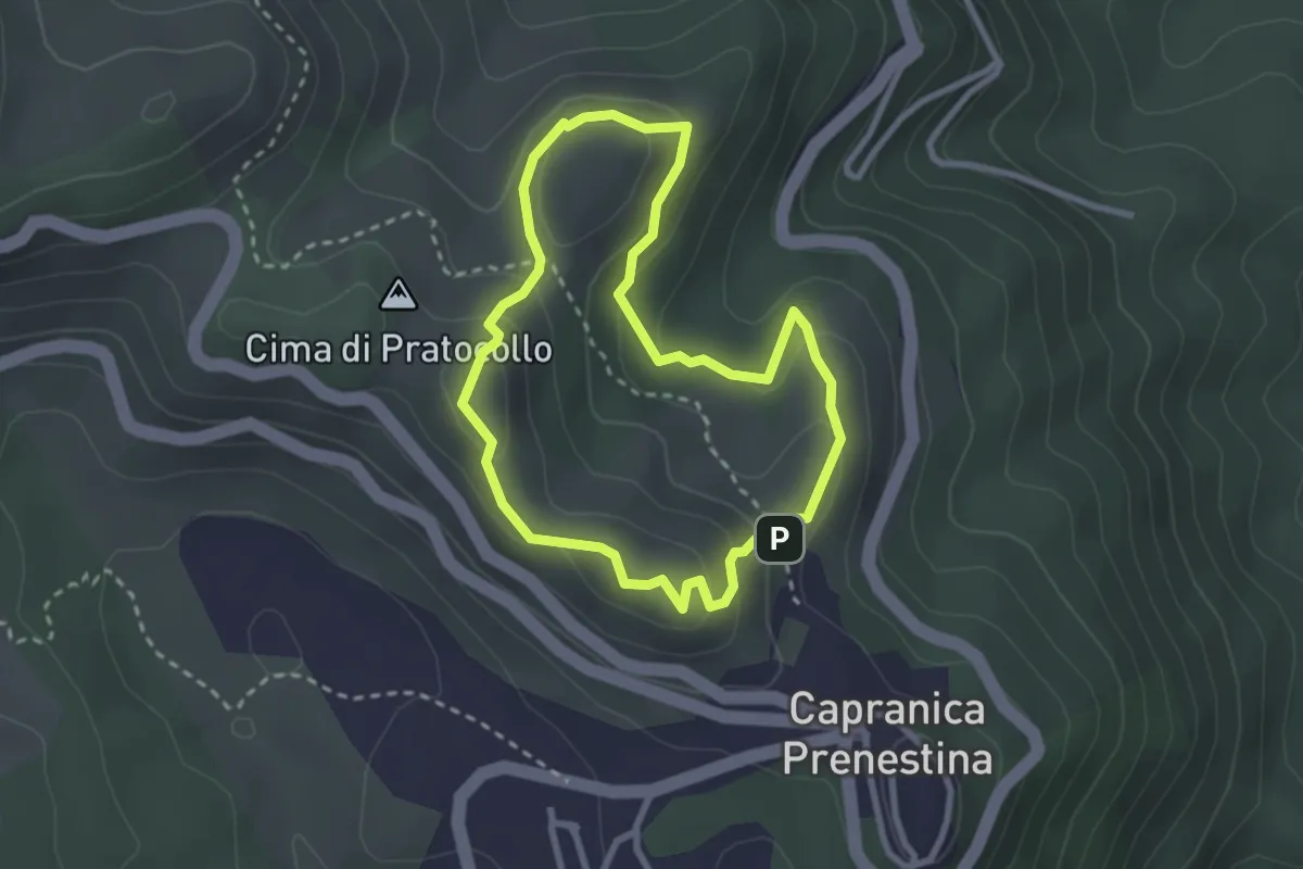
Easy · Summit
Sentiero Gian Paolo Mazzi
2.7 km · ↑ 124 m · 57 min · 6 km away
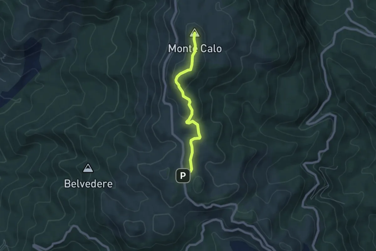
Medium · Summit
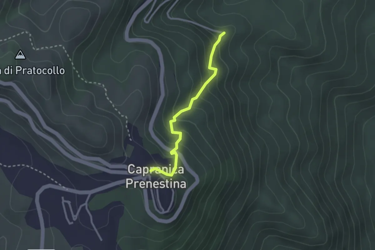
strada SP45b coordinate UTM 33T E328284 N4637831 – Monte Calo
4.8 km · ↑ 143 m · 1 h 27 min · 6 km away
Easy · Trail
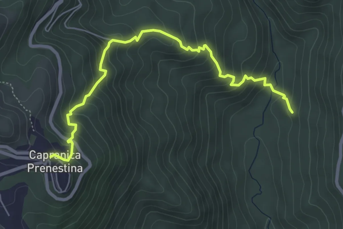
Sentiero del Ciuccio
2.5 km · ↑ 228 m · 1 h 5 min · 6 km away
Medium · Trail
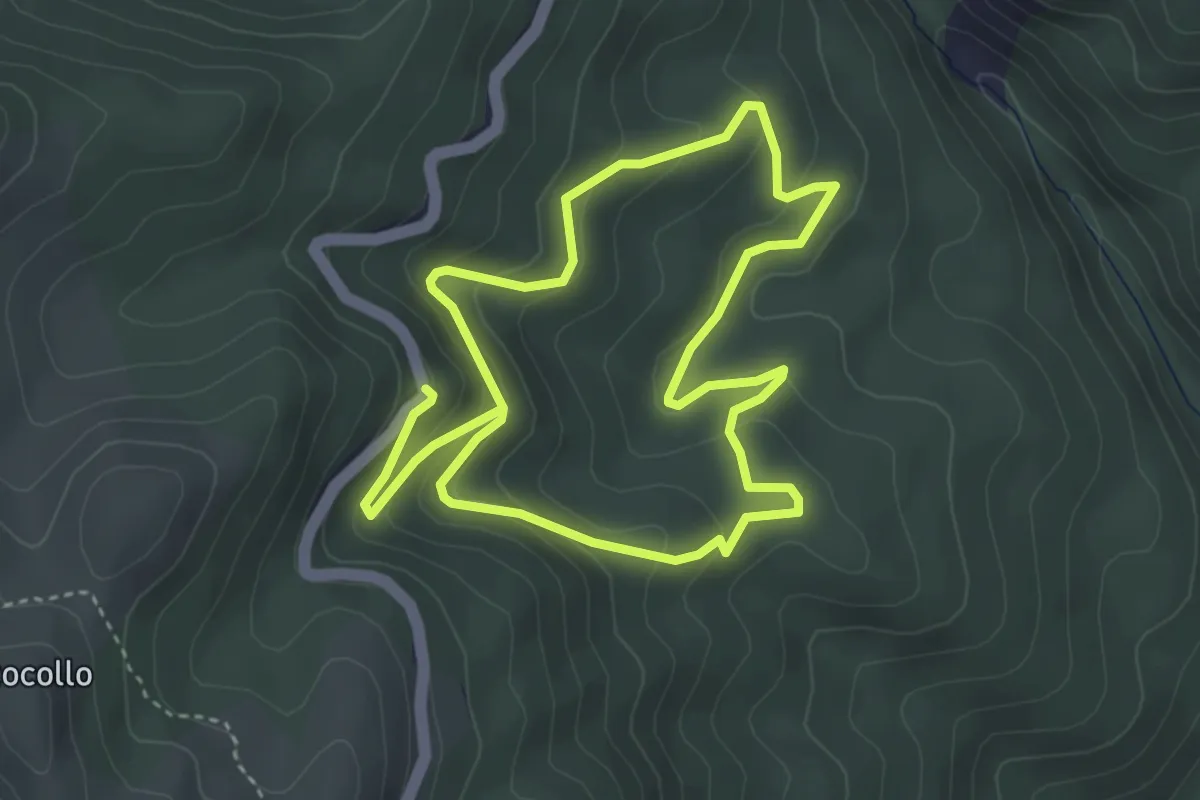
San Vito Romano – Monumento Naturale Castagneto Prenestino - Capranica Prenestina
6.2 km · ↑ 503 m · 2 h 33 min · 6 km away
Easy · Trail
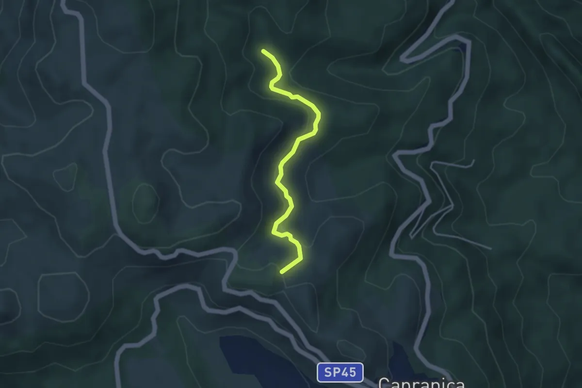
Sentiero del Castagneto
3.9 km · ↑ 166 m · 1 h 21 min · 6 km away
Easy · Summit
Sentiero Natura Mola Bossi
3.6 km · ↑ 169 m · 1 h 13 min · 7 km away
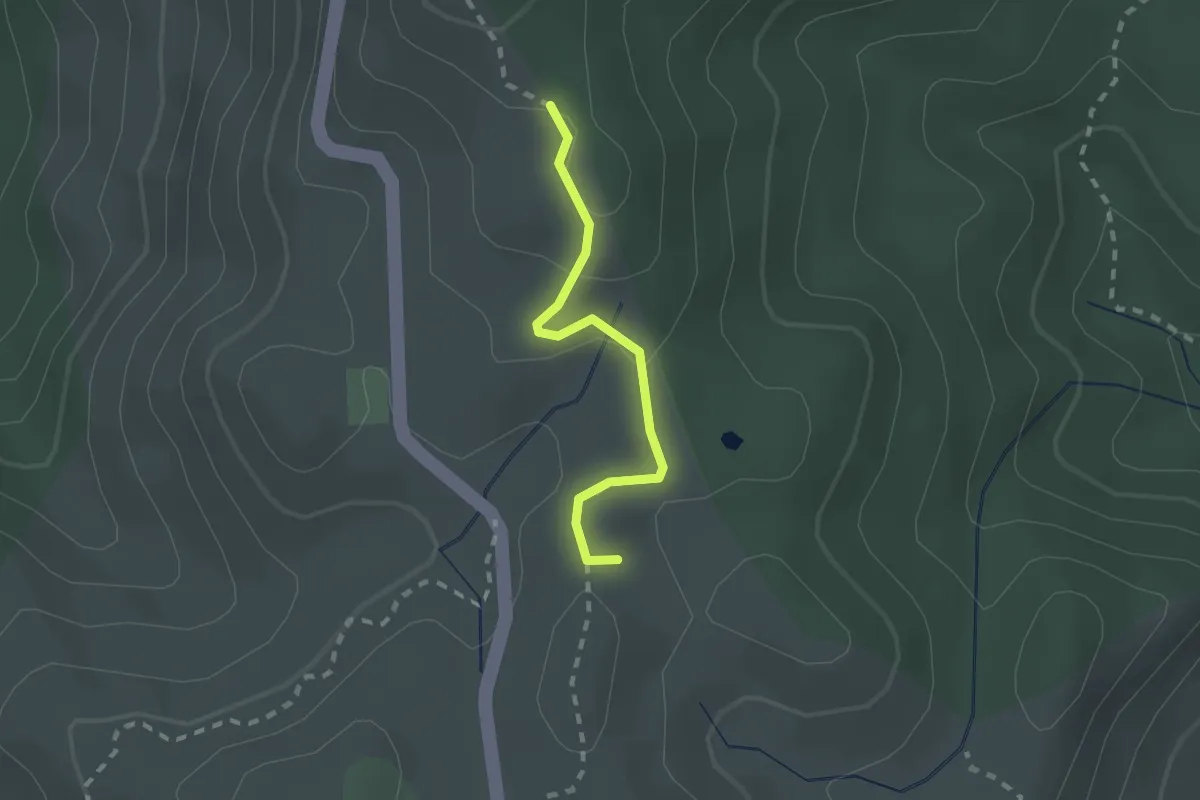
Medium · Summit
LH20 Monti Prenestini
1.9 km · ↑ 54 m · 34 min · 7 km away
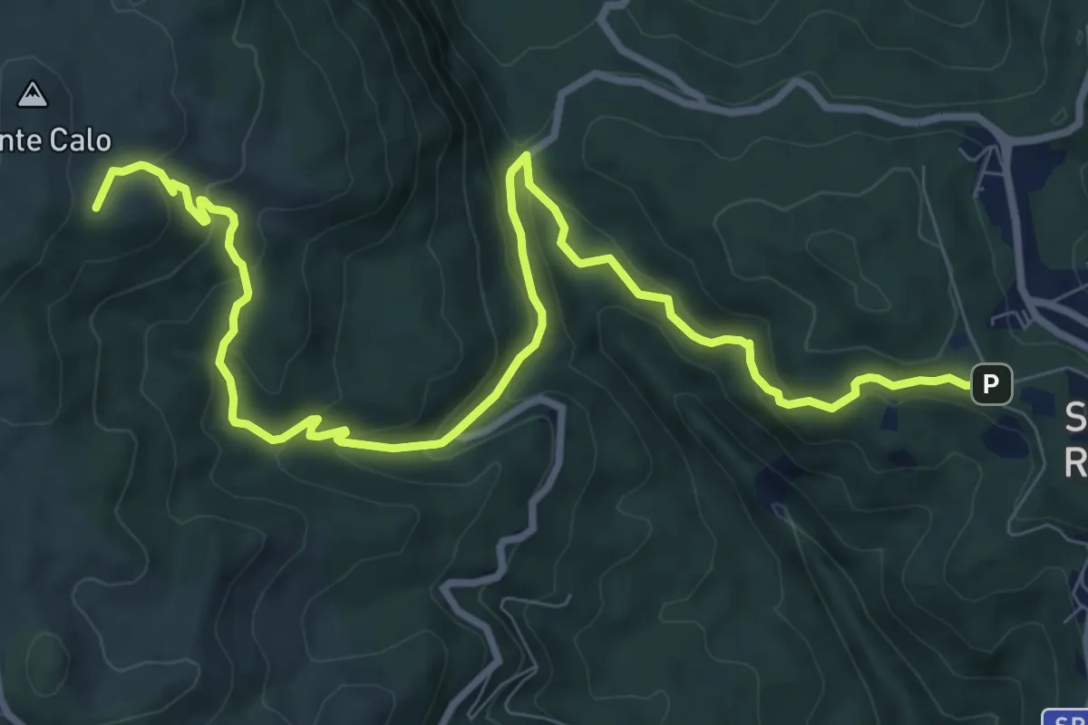
Medium · Summit
San Vito-Monte Calo
12.1 km · ↑ 661 m · 4 h 17 min · 8 km away
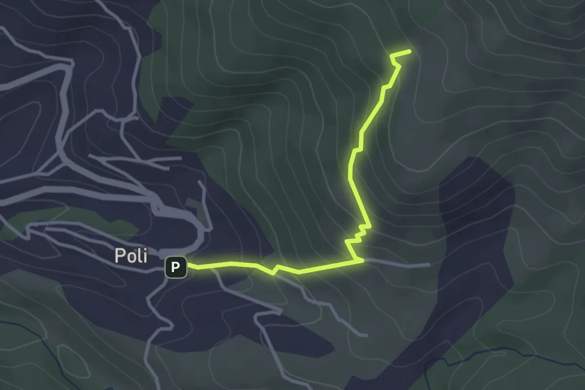
Medium · Summit
Poli – Loc. Le Prata su sent.515
3.1 km · ↑ 283 m · 1 h 21 min · 8 km away
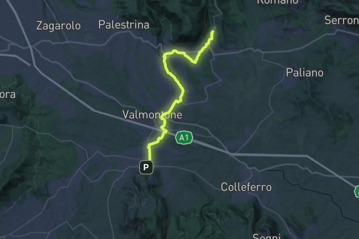
Medium · Trail
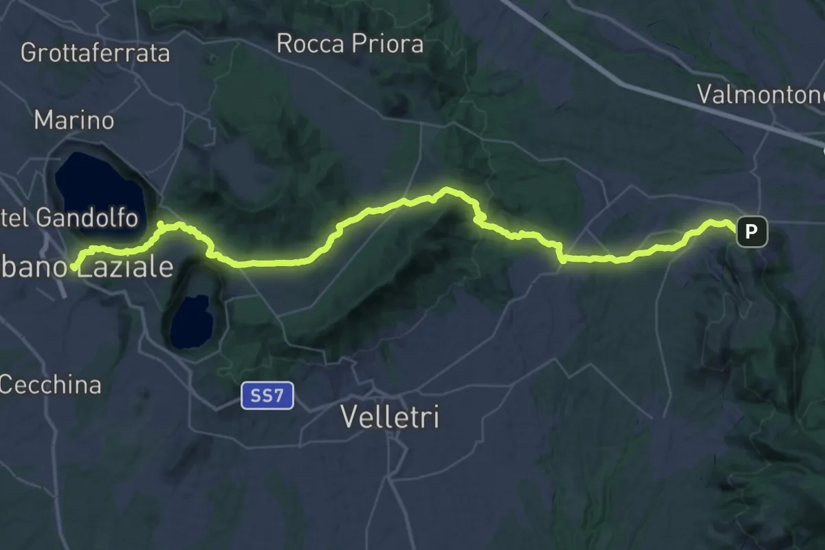
Cammino di San Tommaso - Tappa 3
18.0 km · ↑ 341 m · 5 h 12 min · 9 km away
Demanding · Trail
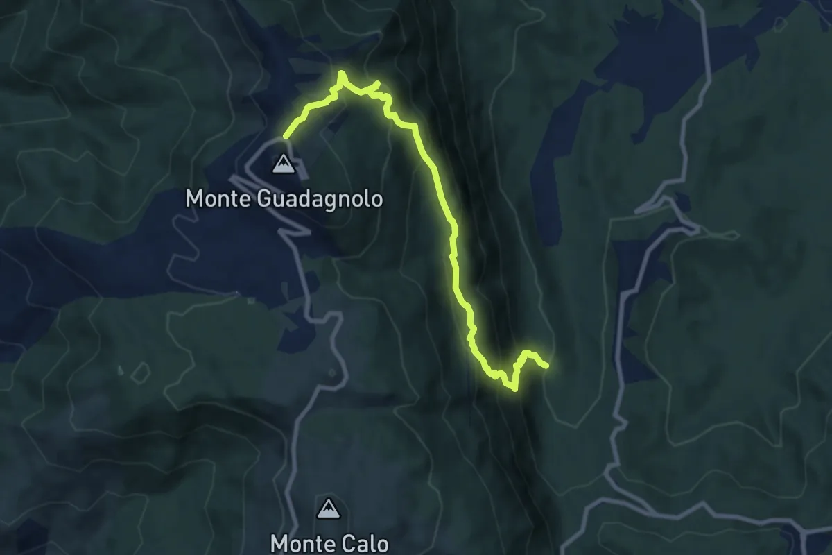
Cammino di San Tommaso - Tappa 2
27.5 km · ↑ 784 m · 8 h 33 min · 9 km away
Medium · Trail
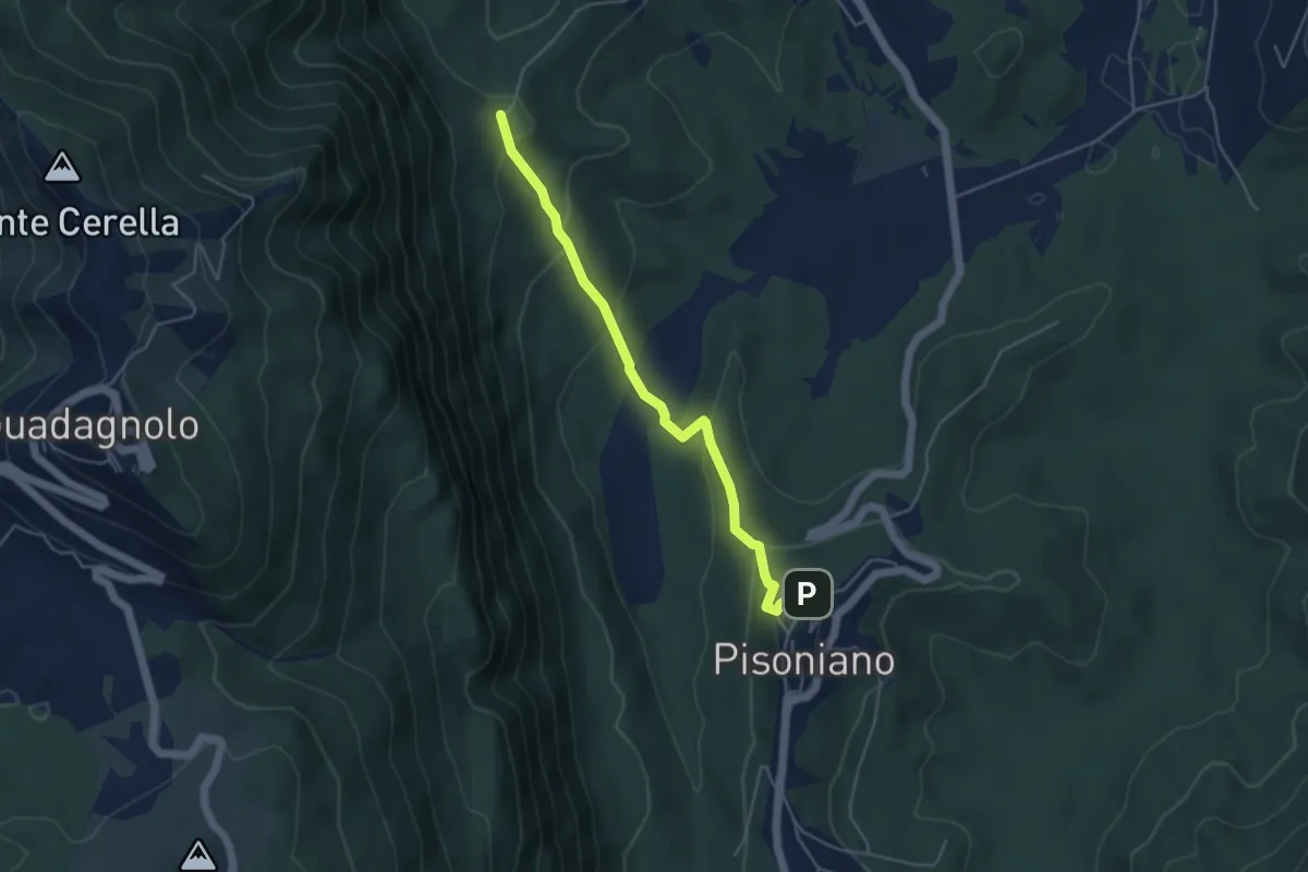
Pisoniano – Guadagnolo
8.9 km · ↑ 770 m · 3 h 46 min · 9 km away
Medium · Trail
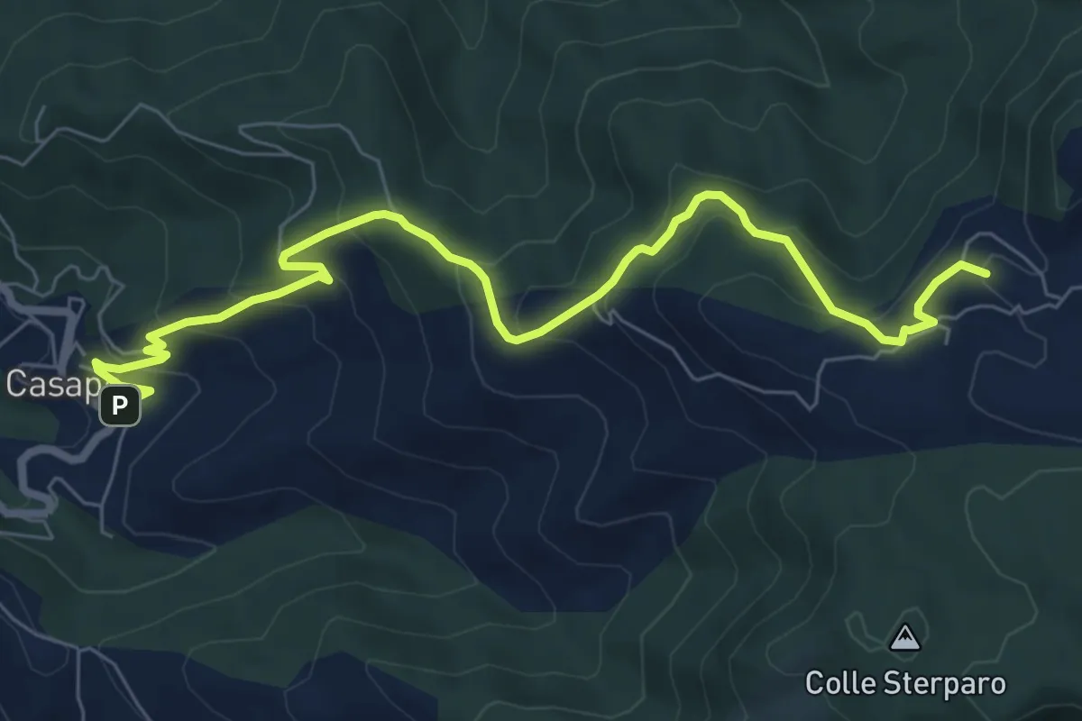
Pisoniano – Ara di Palazzo
4.8 km · ↑ 269 m · 1 h 43 min · 10 km away
Medium · Summit
Casape – Guadagnolo
8.8 km · ↑ 548 m · 3 h 16 min · 10 km away
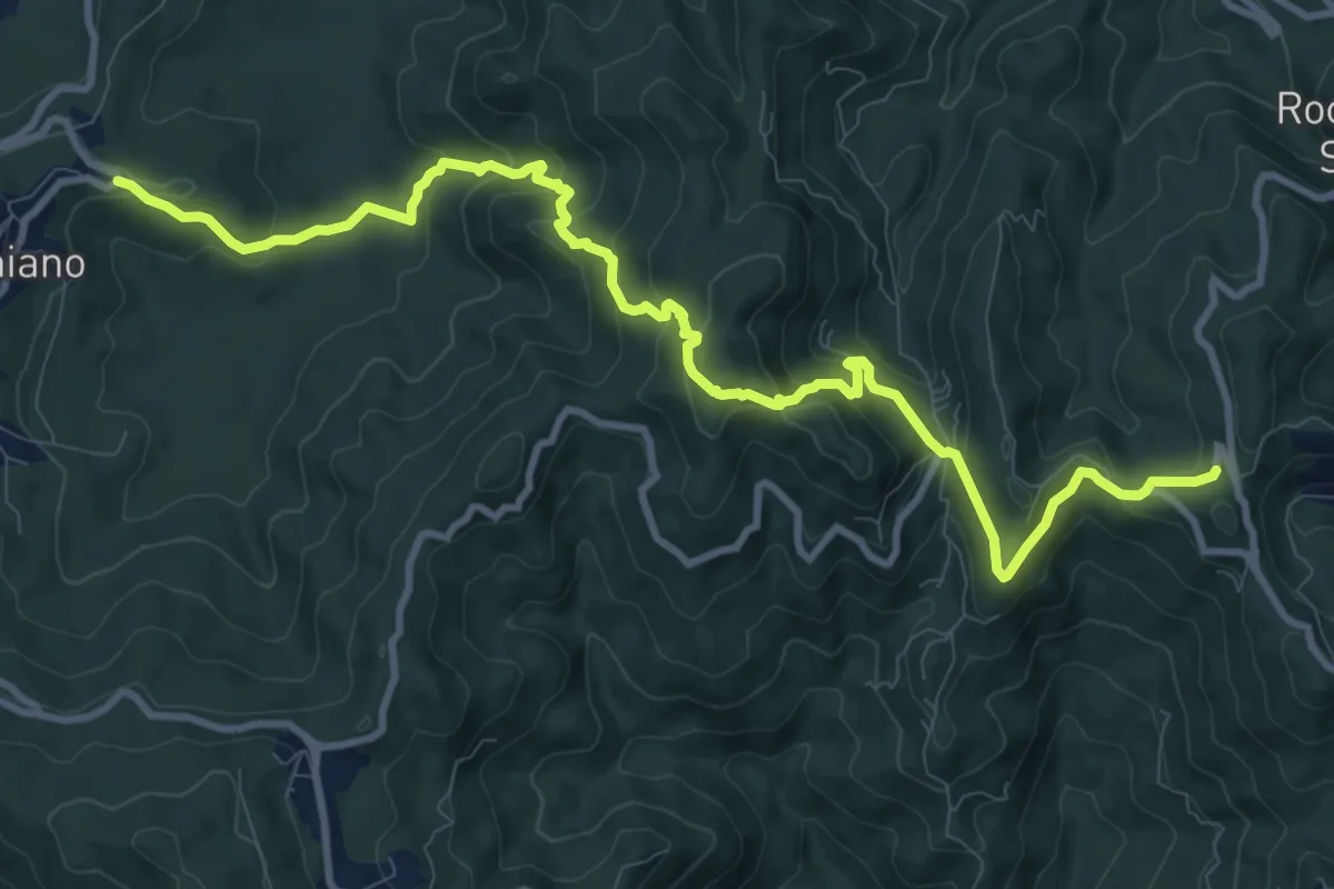
Medium · Trail
Sentiero Padre Filippo Sales
13.1 km · ↑ 744 m · 4 h 42 min · 11 km away
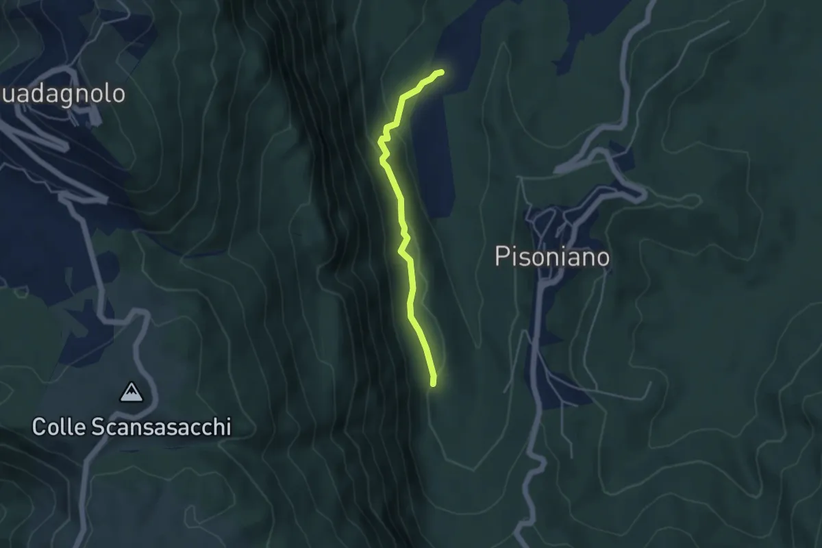
Easy · Trail
Ara di Palazzo – Percorso 505
3.8 km · ↑ 113 m · 1 h 9 min · 11 km away
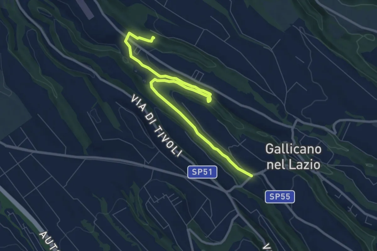
Medium · Trail
Acquedotti di Gallicano
9.7 km · ↑ 137 m · 2 h 35 min · 11 km away
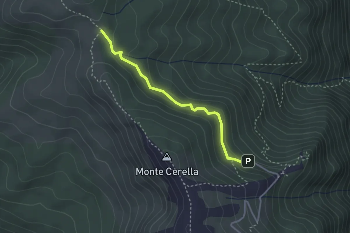
Medium · Trail
Santuario della Mentorella (Parcheggio) – Tre Confini - innesto su sentiero 500
2.9 km · ↑ 114 m · 56 min · 12 km away
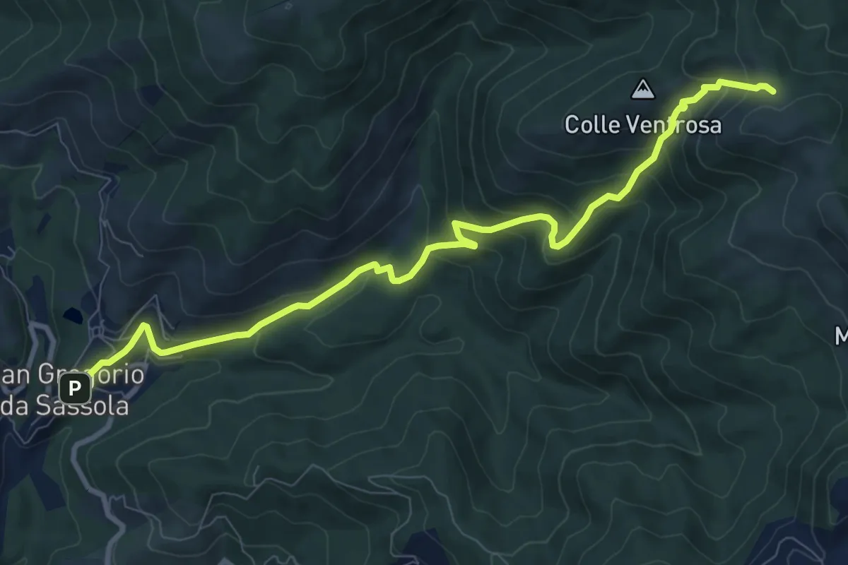
Medium · Trail
San Gregorio da Sassola – Innesto su sentiero 500
10.5 km · ↑ 657 m · 3 h 54 min · 12 km away
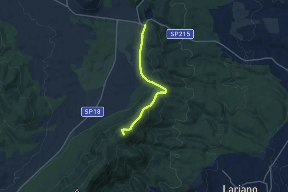
Medium · Summit
Doganella-Passo del Lupo
8.7 km · ↑ 372 m · 2 h 52 min · 12 km away
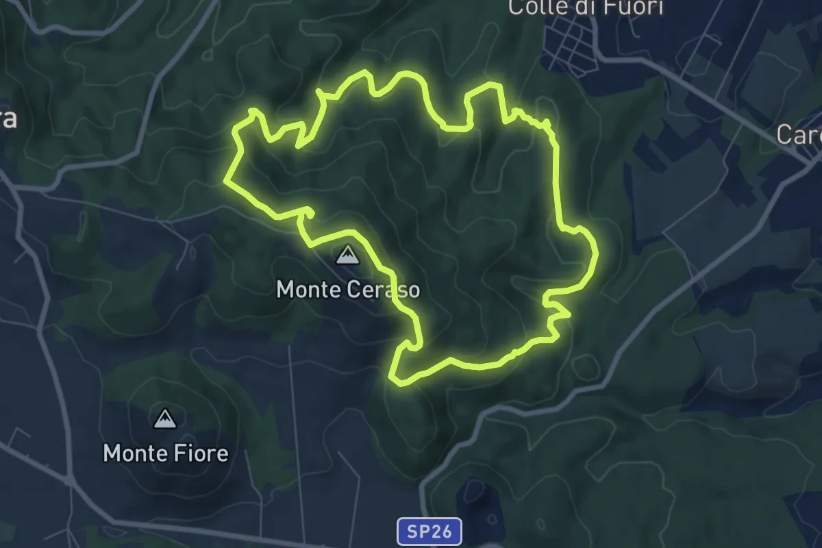
Medium · Summit
Circuito delle Fonti di Rocca Priora
8.6 km · ↑ 394 m · 3 h 1 min · 12 km away
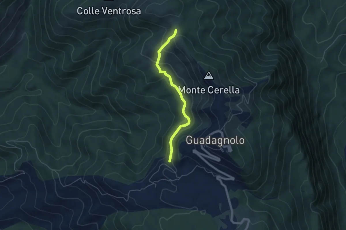
Easy · Trail
500 – 515 in direzione Guadagnolo
4.7 km · ↑ 217 m · 1 h 34 min · 12 km away
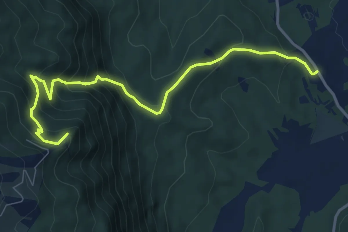
Medium · Summit
Sentiero Carol Woityla
8.1 km · ↑ 615 m · 3 h 14 min · 12 km away
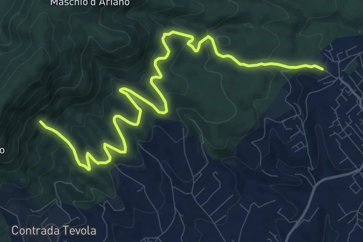
Medium · Cabin
Lariano-Casa del Parco Artemisio
14.0 km · ↑ 698 m · 4 h 49 min · 13 km away
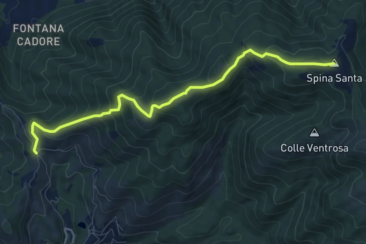
Medium · Summit
Santa Maria Nuova – Spina Santa innesto su sentiero 500
10.5 km · ↑ 587 m · 3 h 45 min · 13 km away
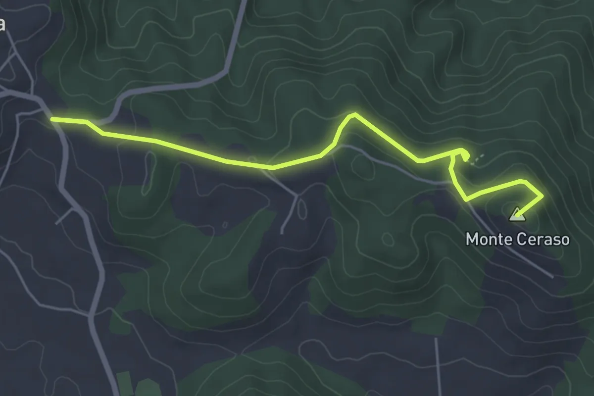
Easy · Summit
Rocca Priora - Bosco del Cerquone
5.4 km · ↑ 171 m · 1 h 38 min · 14 km away
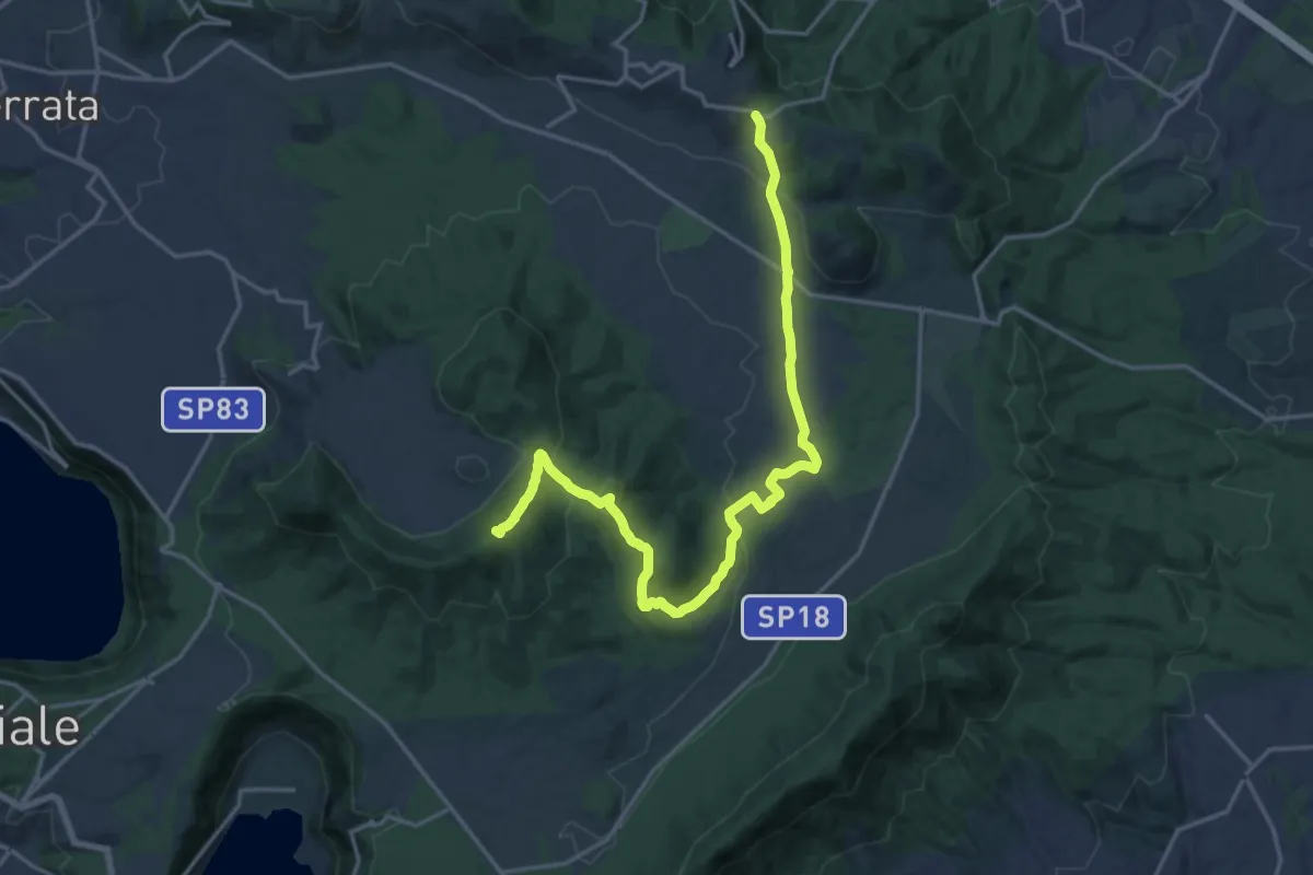
Demanding · Summit
CNP - 02 - Castel Gandolfo - Rocca Priora
21.3 km · ↑ 574 m · 6 h 16 min · 14 km away
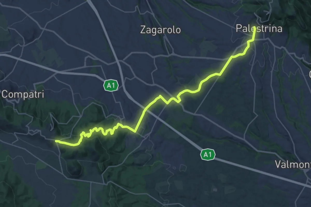
Medium · Trail
CNP - 03 - Rocca Priora - Palestrina
16.1 km · ↑ 282 m · 4 h 44 min · 14 km away
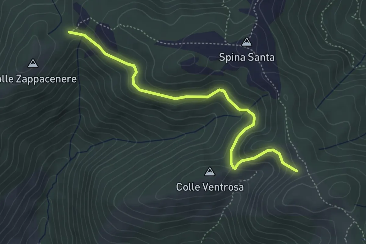
Easy · Trail
Forca Cerella (516) – 517
5.2 km · ↑ 214 m · 1 h 42 min · 14 km away
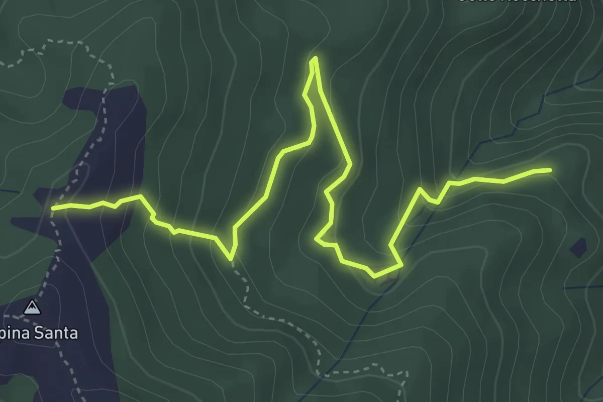
Medium · Trail
501 – 500B
5.2 km · ↑ 338 m · 1 h 58 min · 14 km away
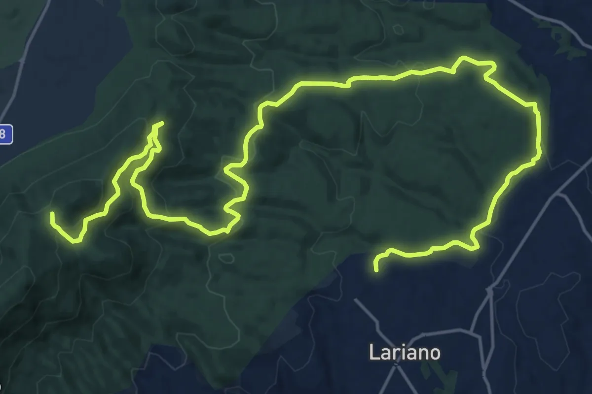
Demanding · Trail
Lariano, via Vittoria Colonna – Passo del Lupo
25.1 km · ↑ 802 m · 7 h 40 min · 15 km away
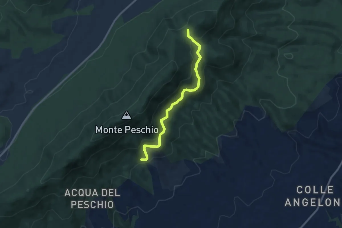
Medium · Trail
Fontana Marcaccio-Passo del Lupo
6.6 km · ↑ 341 m · 2 h 17 min · 15 km away