Trails near Chiavari
160 hikes starting within 15 km, nearest first.
Nearest first, page 3 of 4
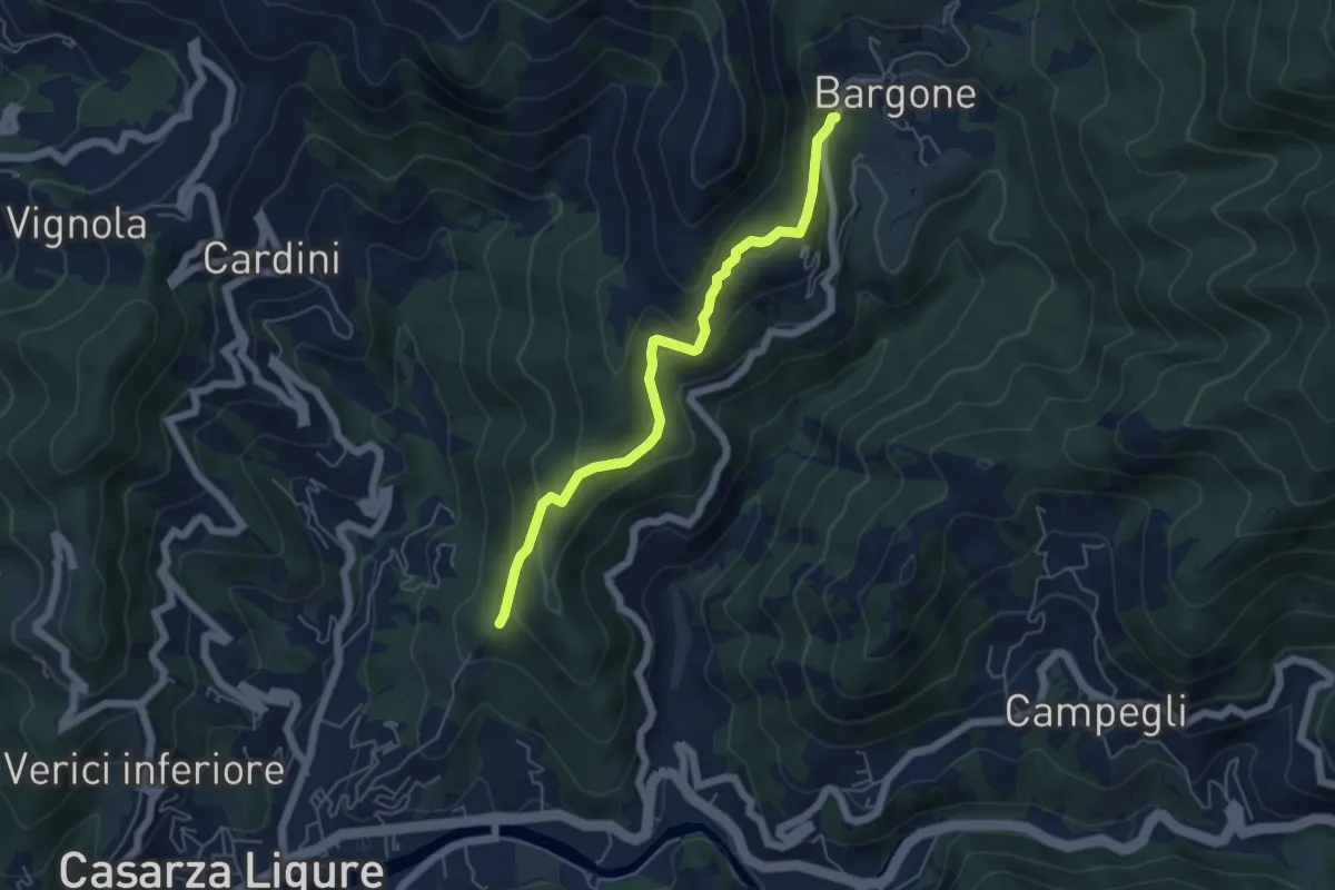
Medium · Trail
S. Antonio - Bargone
5.3 km · ↑ 358 m · 2 h 1 min · 12 km away
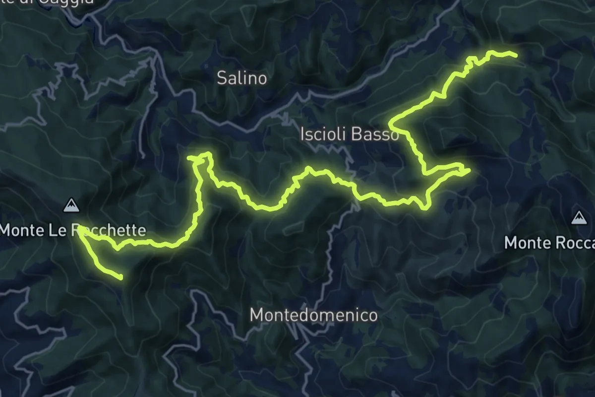
Demanding · Summit
Sentiero dei Celti e dei Liguri - tappa 10
26.8 km · ↑ 1650 m · 9 h 54 min · 12 km away
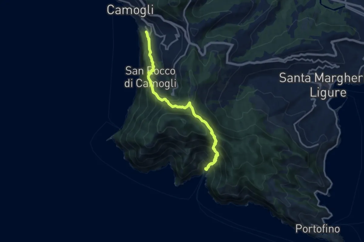
Demanding · Trail
Camogli – San Fruttuoso
11.0 km · ↑ 965 m · 4 h 41 min · 12 km away
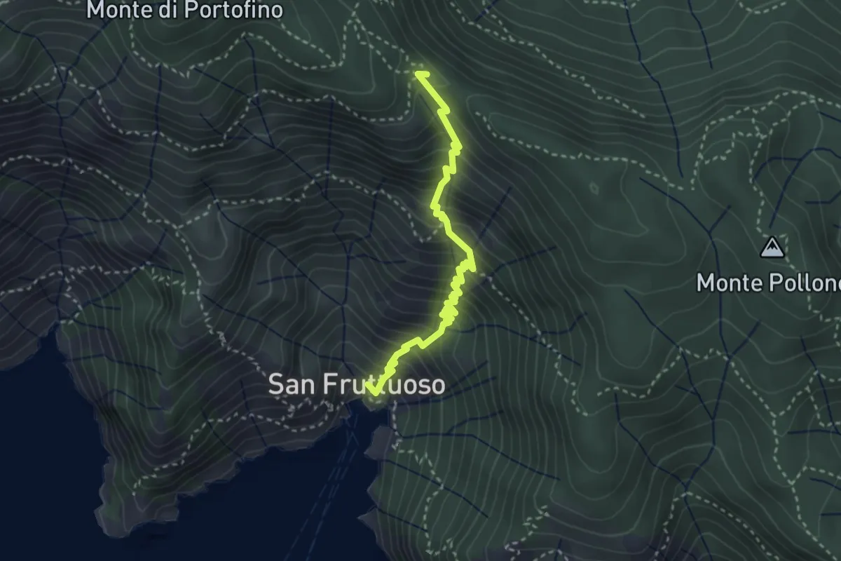
Medium · Trail
Antica Via del Cifalco - deviazione San Fruttuoso
3.3 km · ↑ 450 m · 1 h 45 min · 12 km away
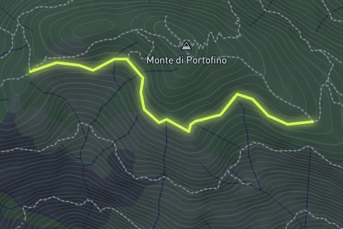
Easy · Trail
Pian Lungo – Sella Porcile
2.4 km · ↑ 124 m · 51 min · 12 km away
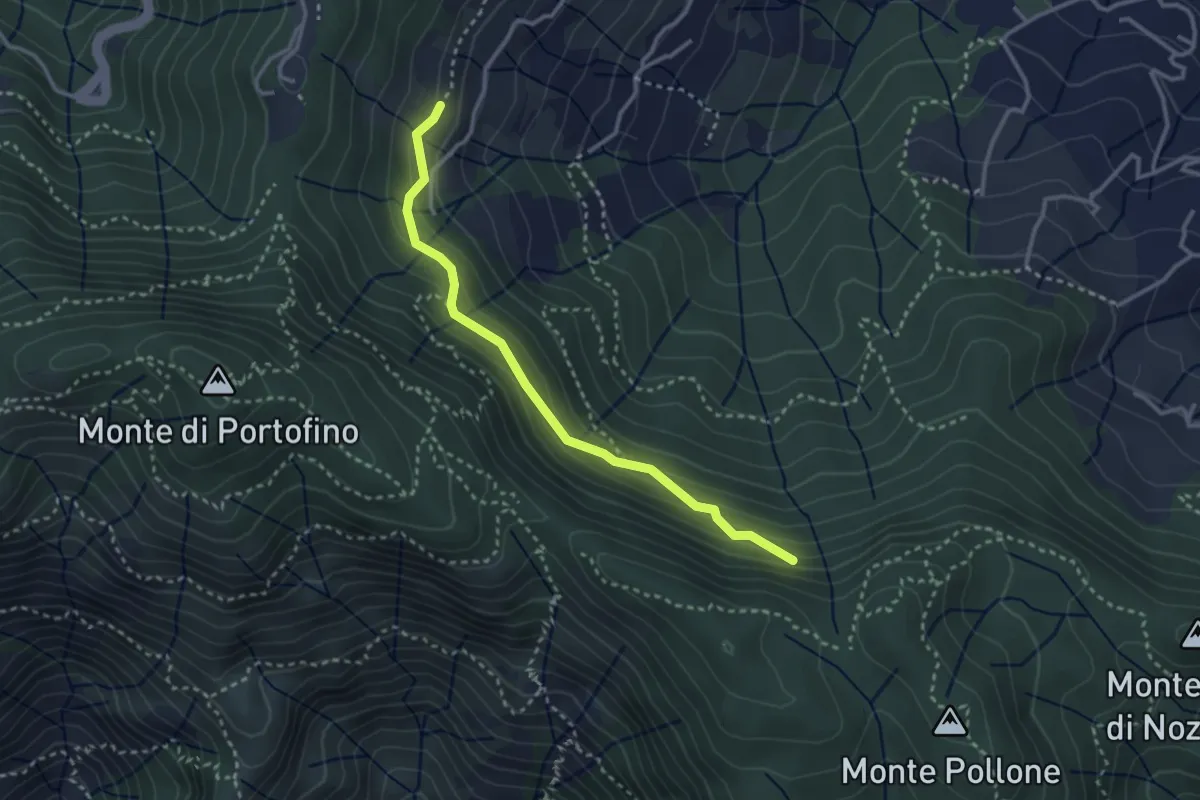
Medium · Trail
Costa Secca - Dolcina Alta
3.1 km · ↑ 184 m · 1 h 8 min · 12 km away
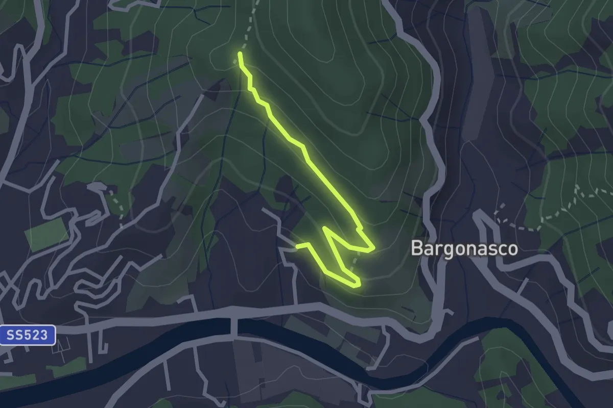
Easy · Trail
Rocce - S. Antonio
2.5 km · ↑ 112 m · 50 min · 12 km away
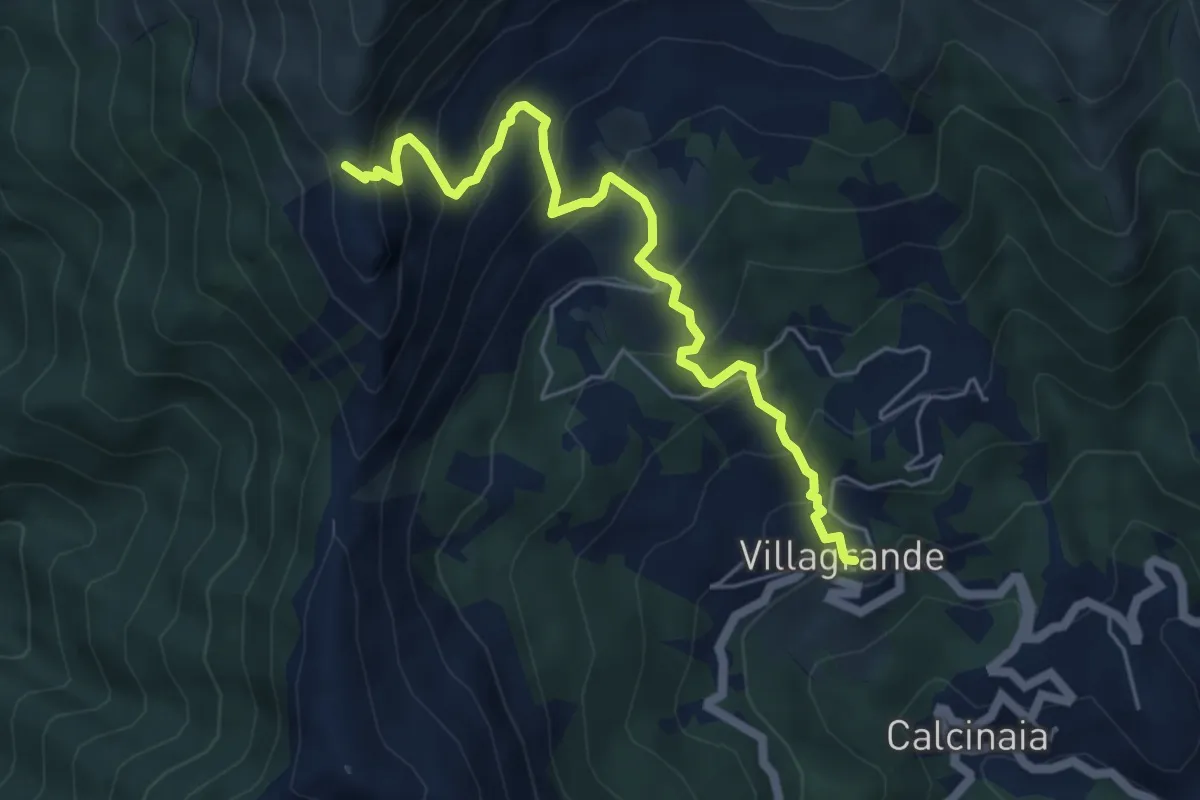
Medium · Trail
Villagrande di Cichero - Colla di Feia
5.9 km · ↑ 540 m · 2 h 33 min · 12 km away
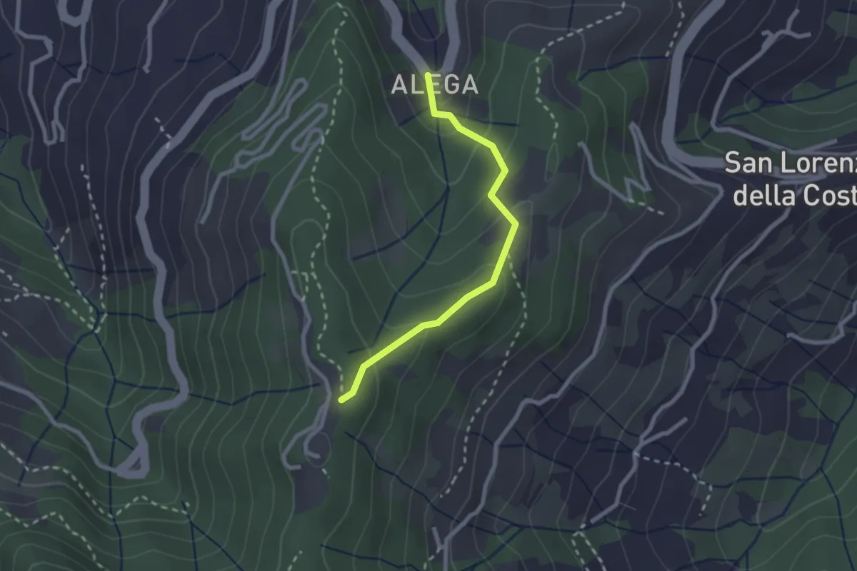
Medium · Trail
Località Alega (Parcheggio Bus/Auto Ruta) - Portofino Vetta
2.3 km · ↑ 149 m · 51 min · 12 km away
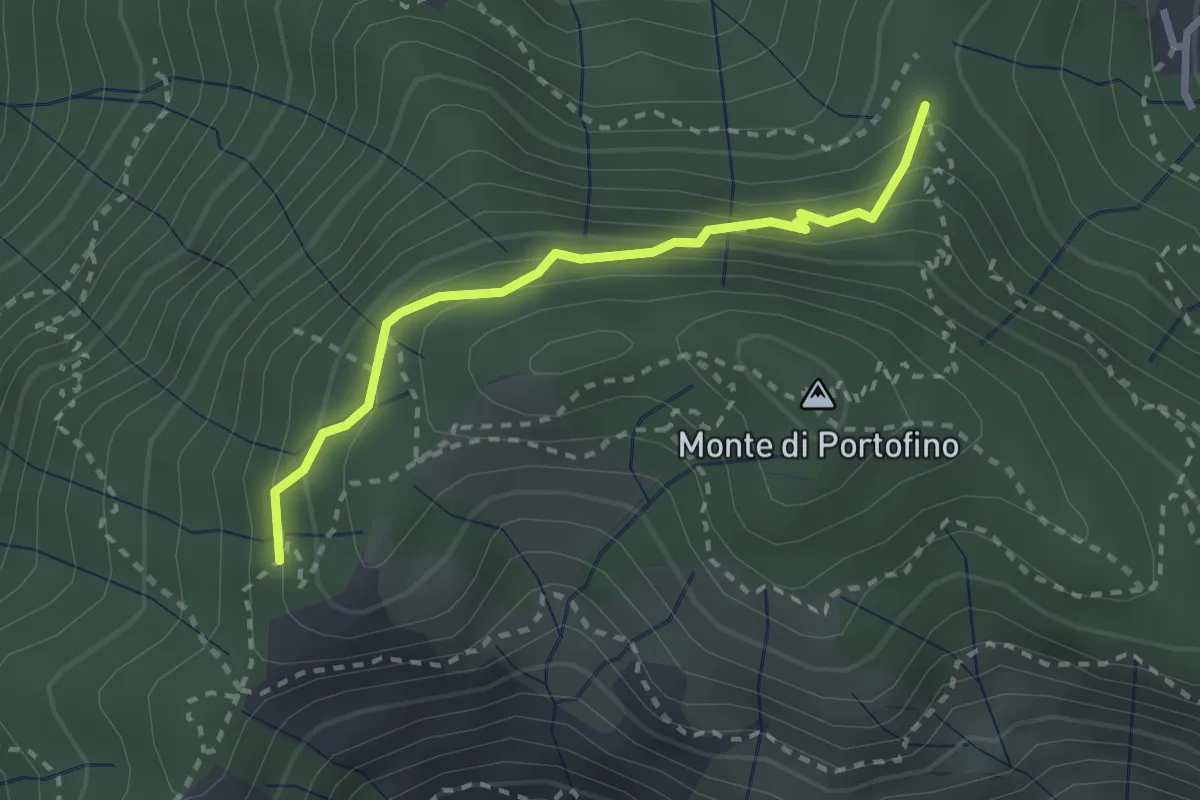
Easy · Trail
Sella Gaixella – bivio Sequoie
2.5 km · ↑ 220 m · 1 h 4 min · 12 km away
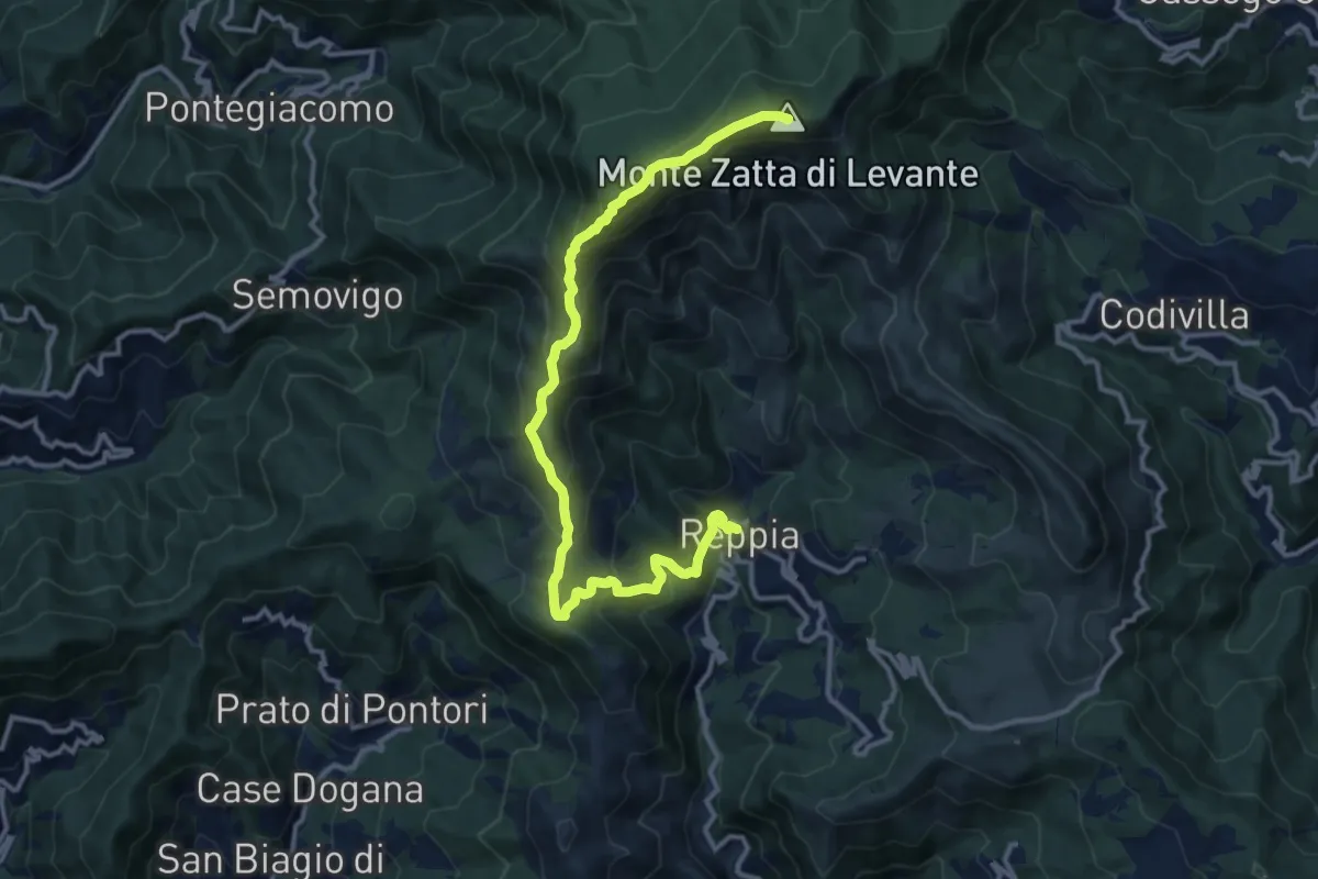
Demanding · Summit
Reppia - Monte Zatta
14.0 km · ↑ 985 m · 5 h 26 min · 12 km away
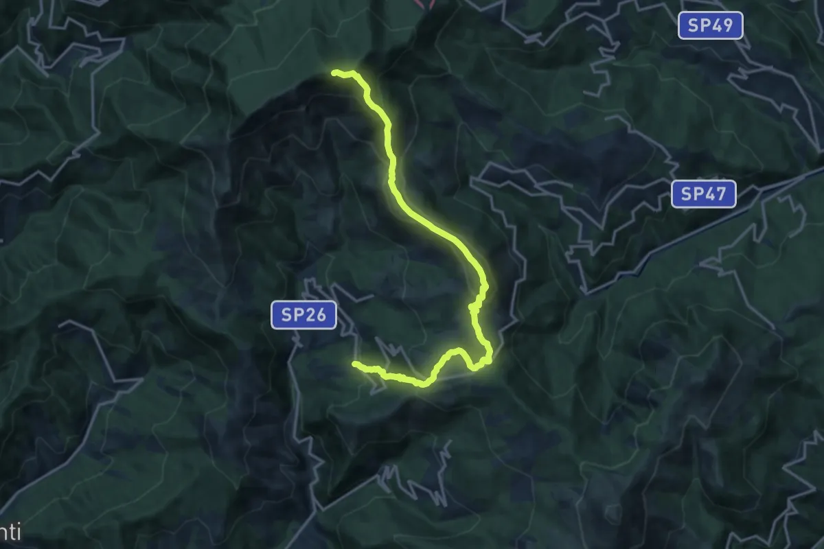
Demanding · Summit
Arzeno - Monte Chiappozzo - Monte Zatta
15.9 km · ↑ 1004 m · 5 h 56 min · 12 km away
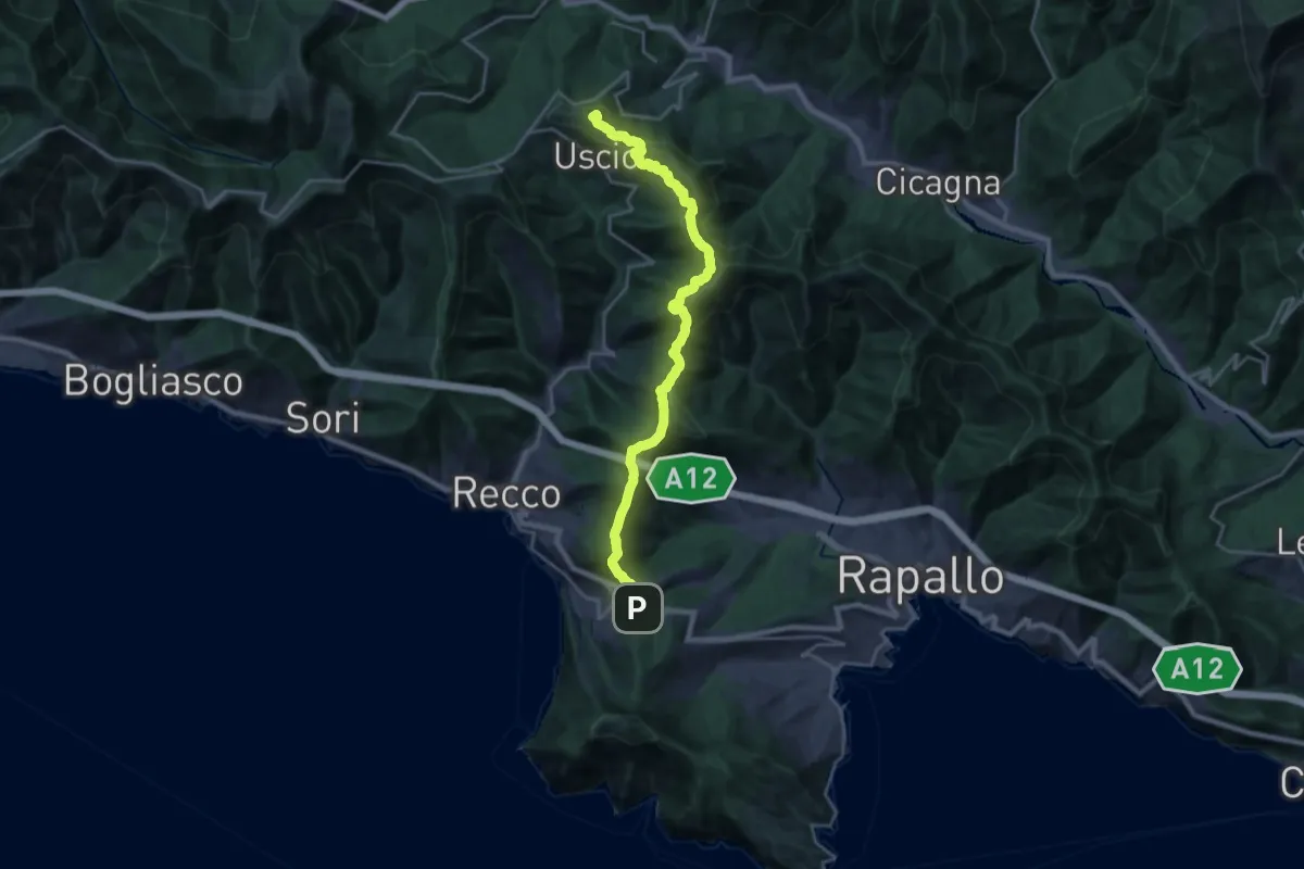
Demanding · Summit
Ruta – Colle Caprile
22.9 km · ↑ 1257 m · 8 h 8 min · 13 km away
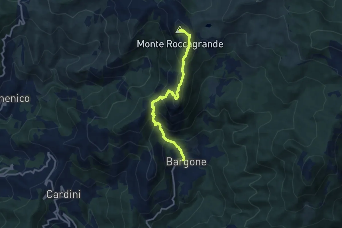
Demanding · Summit
Bargone - Monte Treggin - Monte Roccagrande
7.3 km · ↑ 726 m · 3 h 18 min · 13 km away
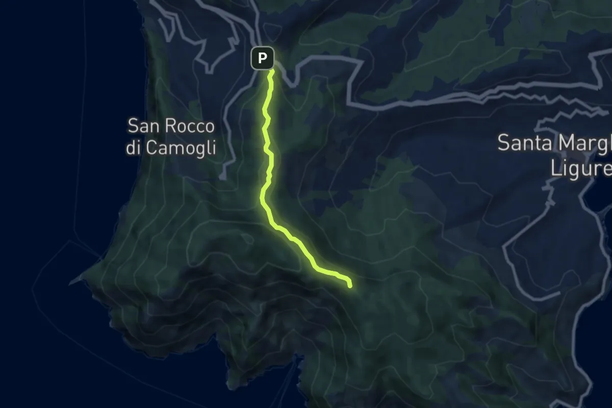
Easy · Summit
Ruta – Portofino
6.3 km · ↑ 291 m · 2 h 7 min · 13 km away
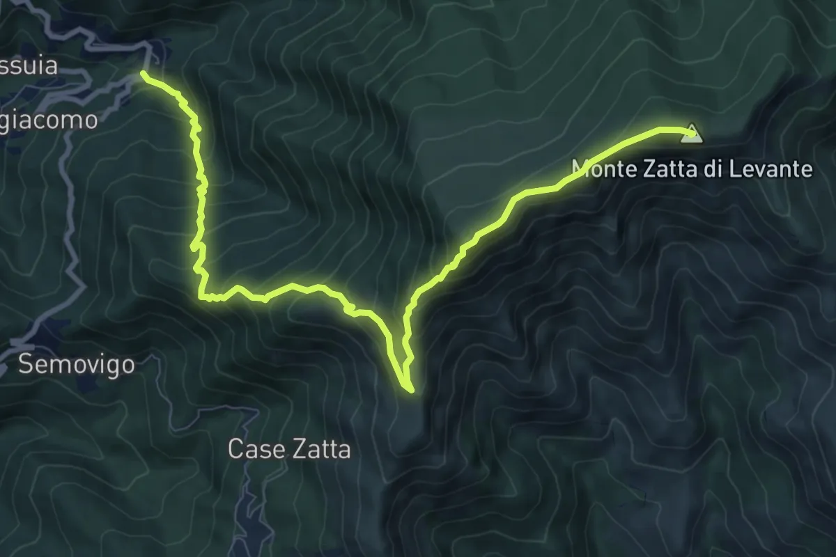
Demanding · Summit
San Siro Foce – Monte Zatta
11.2 km · ↑ 1026 m · 4 h 53 min · 13 km away
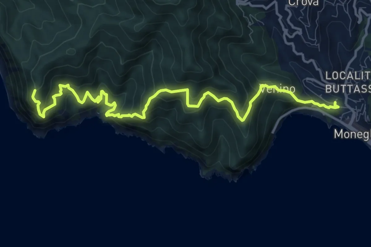
Expert · Trail
Moneglia-Punta Baffe
12.3 km · ↑ 1123 m · 5 h 20 min · 13 km away
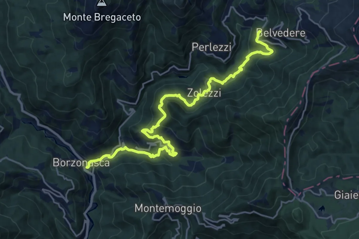
Demanding · Trail
Borzonasca – Vallepiana
17.2 km · ↑ 1097 m · 6 h 26 min · 13 km away
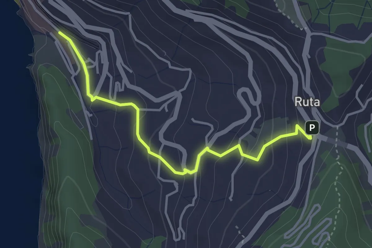
Easy · Trail
Camogli (FS) - Ruta
3.6 km · ↑ 220 m · 1 h 20 min · 13 km away
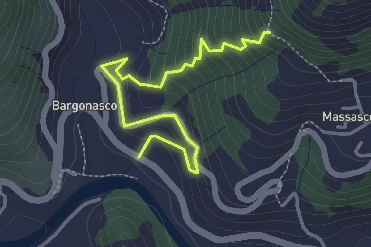
Medium · Trail
Bargonasco - Innesto sentiero Massasco-Bargone
2.9 km · ↑ 222 m · 1 h 10 min · 13 km away
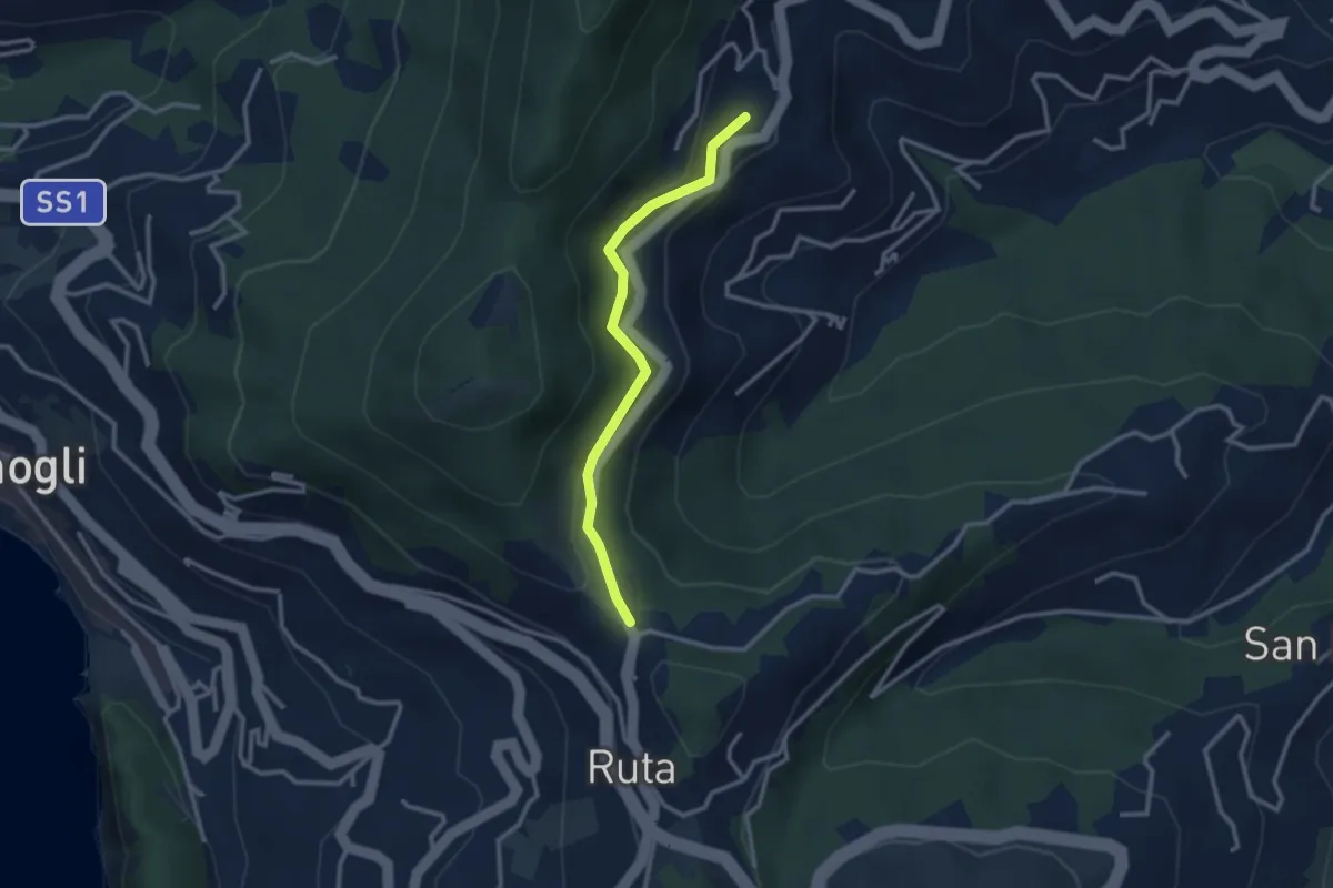
Easy · Trail
Ruta - San Martino di Noceto
2.7 km · ↑ 109 m · 53 min · 13 km away
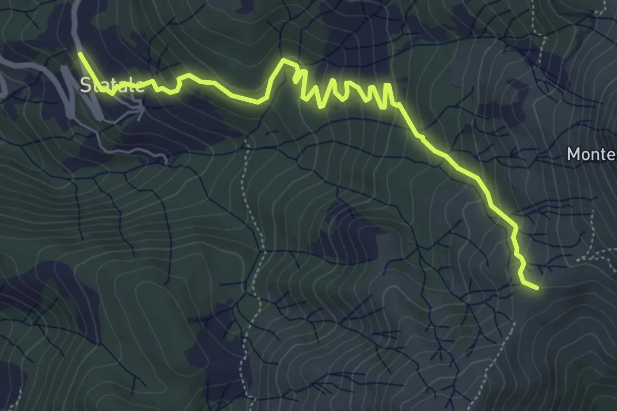
Medium · Trail
Statale - Coletta - Passo Broccheie
6.9 km · ↑ 401 m · 2 h 29 min · 13 km away
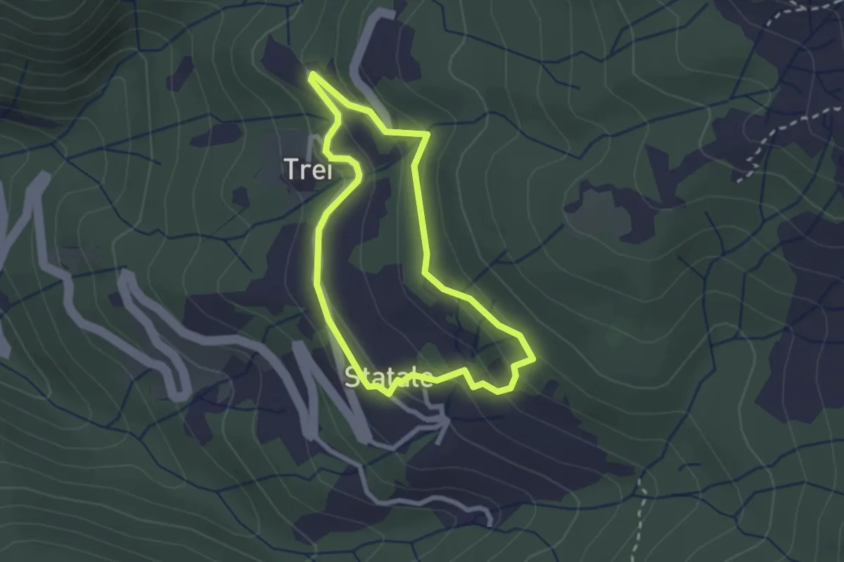
Easy · Trail
Statale - Coletta - Trei - Statale
2.2 km · ↑ 114 m · 48 min · 13 km away
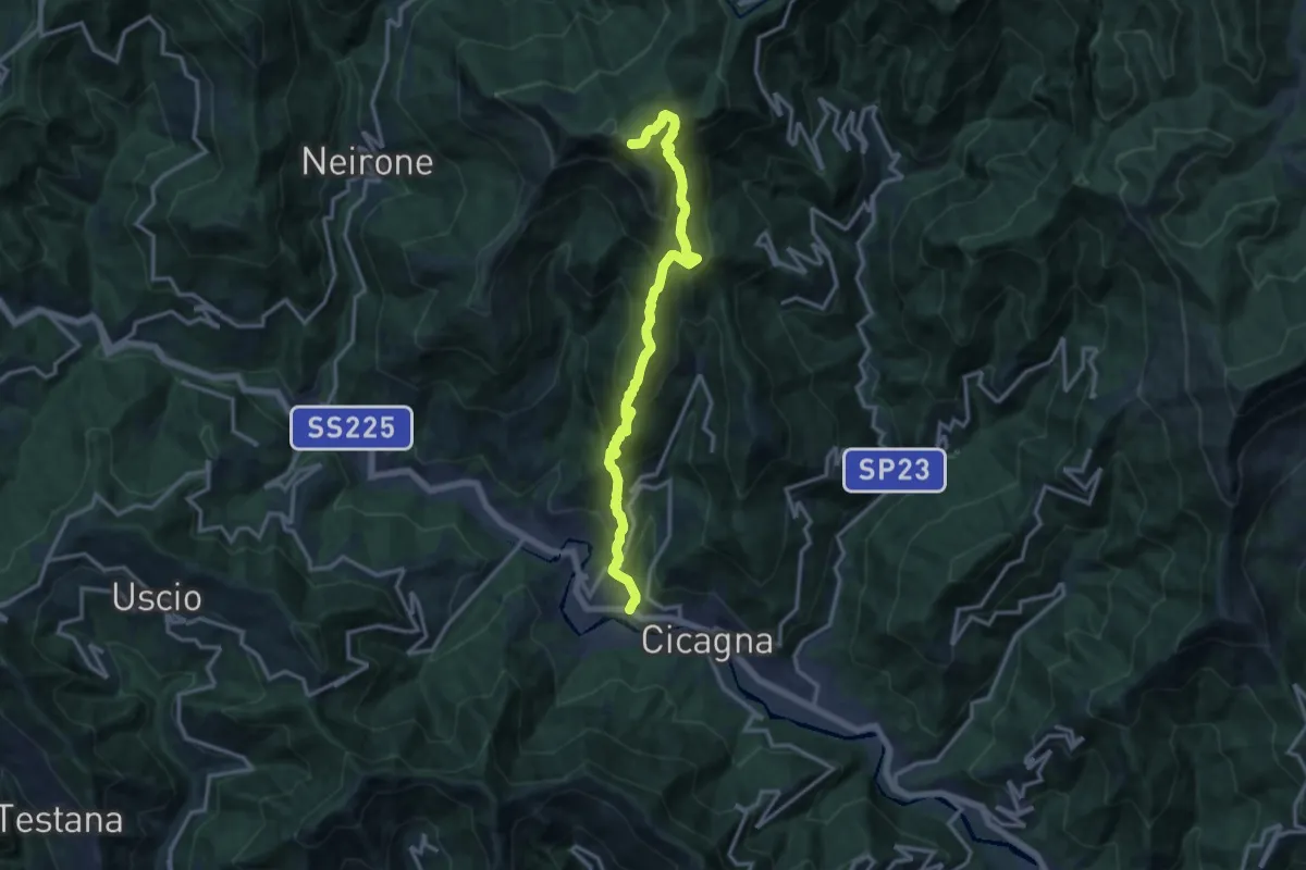
Demanding · Summit
Cicagna - Acquapendente - Monte Caucaso - Barbagelata
14.4 km · ↑ 1261 m · 6 h 7 min · 13 km away
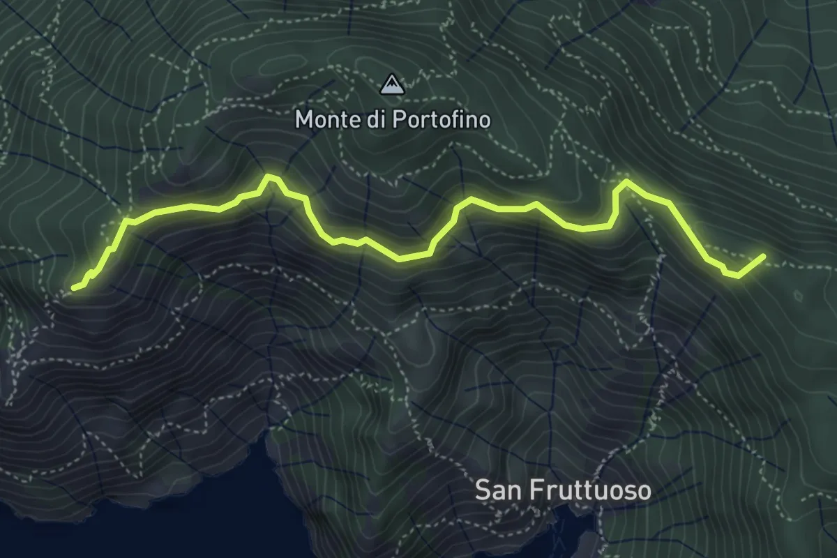
Medium · Summit
Base "0" – Semaforo Nuovo
5.2 km · ↑ 314 m · 1 h 54 min · 13 km away
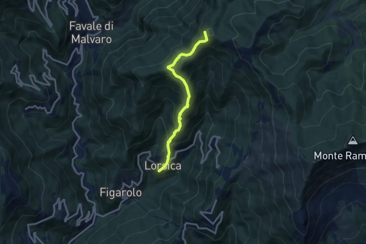
Medium · Summit
Lorsica - Passo Ventarola
6.5 km · ↑ 649 m · 2 h 57 min · 13 km away
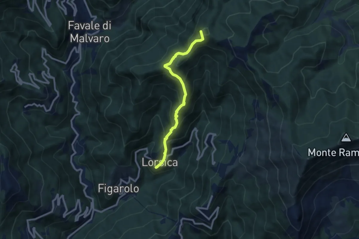
Medium · Summit
Lorsica – Passo Ventarola Nord
6.6 km · ↑ 656 m · 2 h 59 min · 13 km away
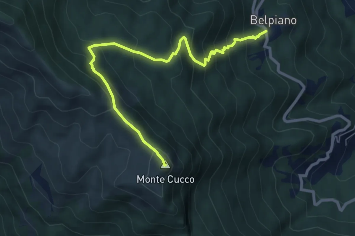
Medium · Summit
Belpiano – Monte Cucco
6.3 km · ↑ 521 m · 2 h 36 min · 13 km away
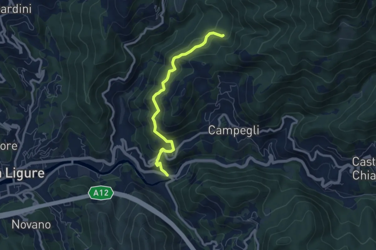
Medium · Trail
Battilana - Bargone
6.2 km · ↑ 412 m · 2 h 22 min · 13 km away
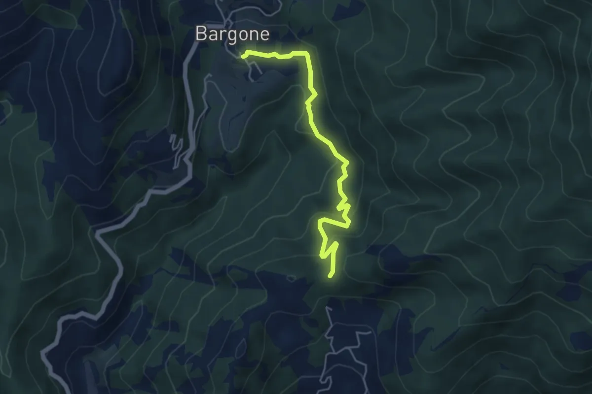
Easy · Trail
Bargone - Passo Colla di Campegli
4.5 km · ↑ 239 m · 1 h 34 min · 13 km away
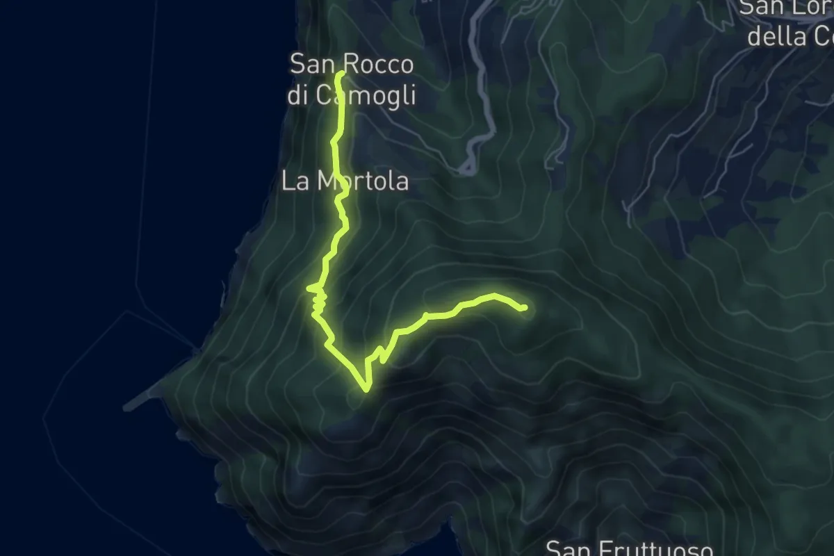
Medium · Summit
San Rocco – Pietre Strette
6.0 km · ↑ 569 m · 2 h 40 min · 13 km away
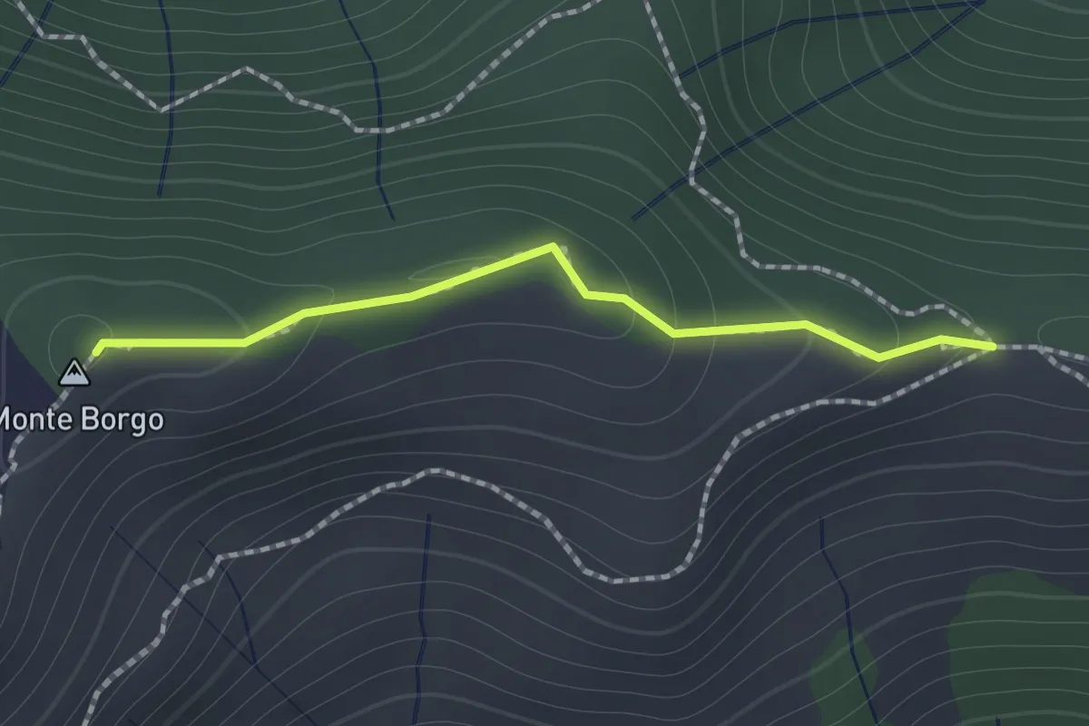
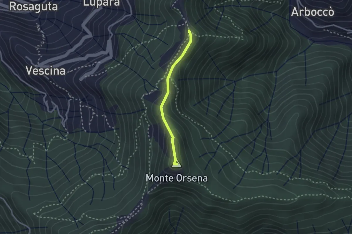
Medium · Summit
Passo Serra - Monte Borgo - Monte Bello
1.2 km · ↑ 64 m · 25 min · 13 km away
Easy · Summit
Passo del Gallo – Santuario di Caravaggio
2.1 km · ↑ 104 m · 43 min · 13 km away
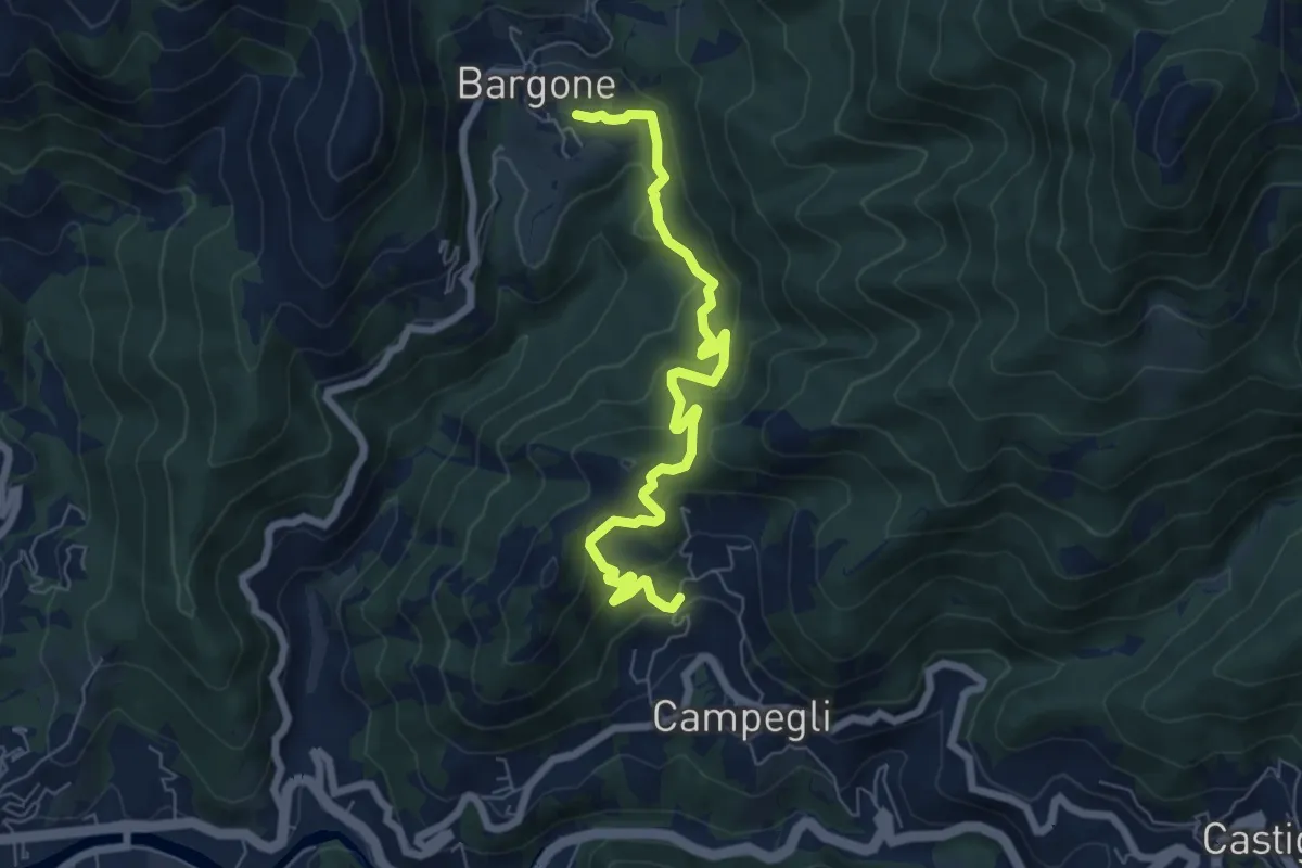
Medium · Trail
Bargone - Campegli
7.2 km · ↑ 389 m · 2 h 33 min · 13 km away
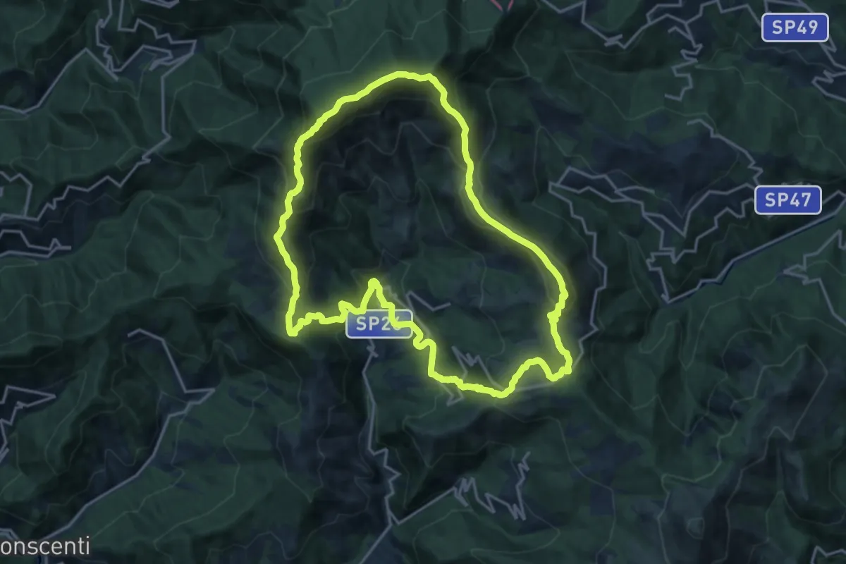
Demanding · Summit
Anello del Monte Zatta
16.7 km · ↑ 1047 m · 6 h 26 min · 14 km away
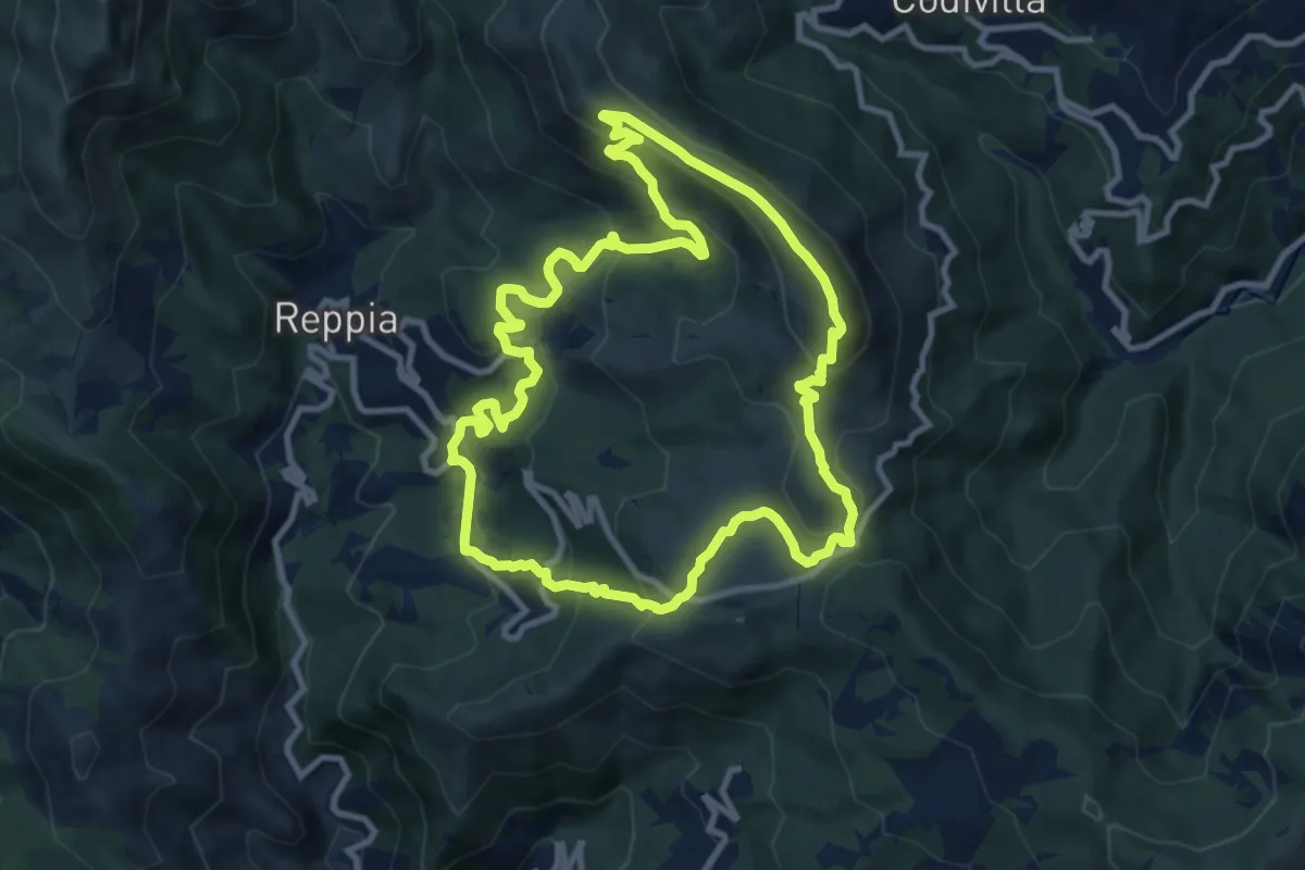
Demanding · Summit
Sentiero Carsologico
10.4 km · ↑ 548 m · 3 h 47 min · 14 km away
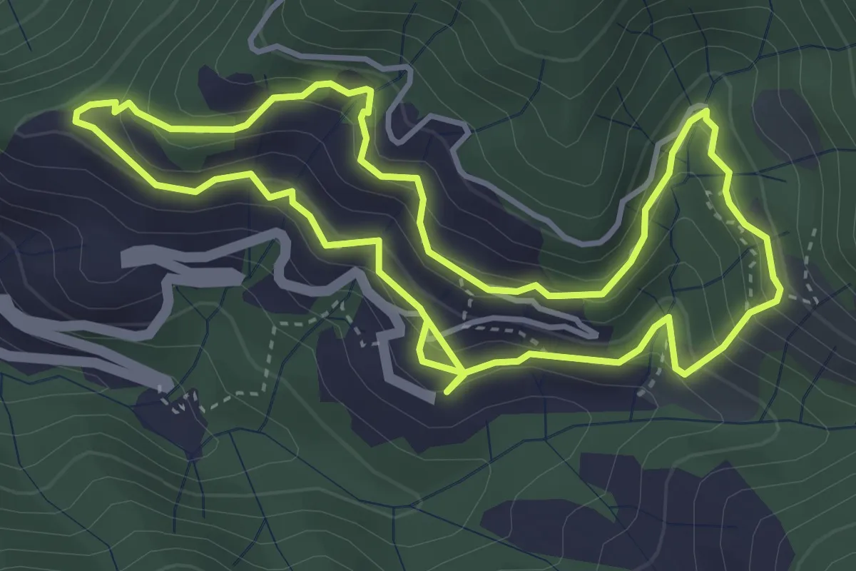
Medium · Trail
Anello di Borzone
4.1 km · ↑ 310 m · 1 h 41 min · 14 km away
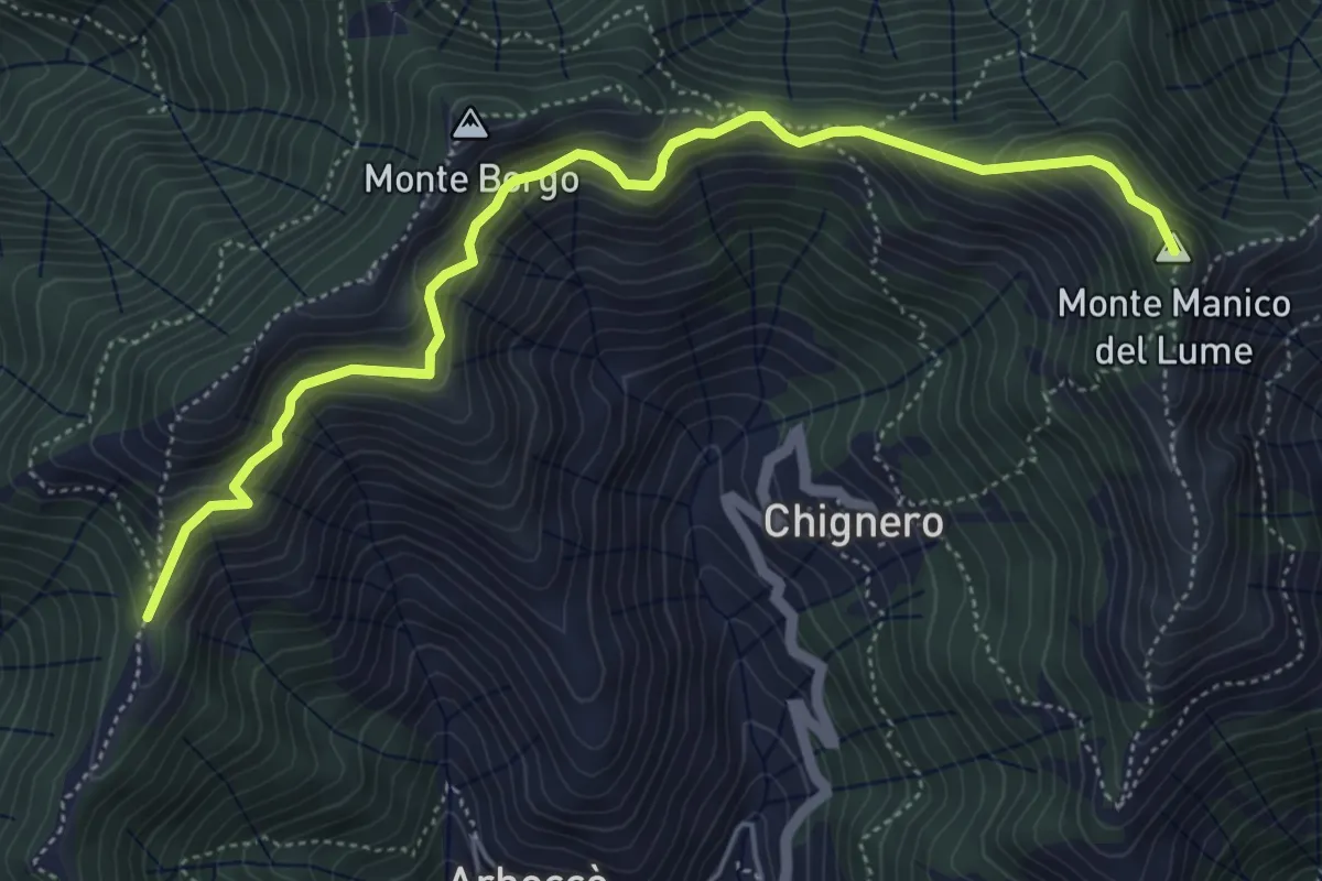
Demanding · Summit
Antica Via del Cifalco - deviazione Passo Serra/Manico Lume
5.8 km · ↑ 465 m · 2 h 22 min · 14 km away
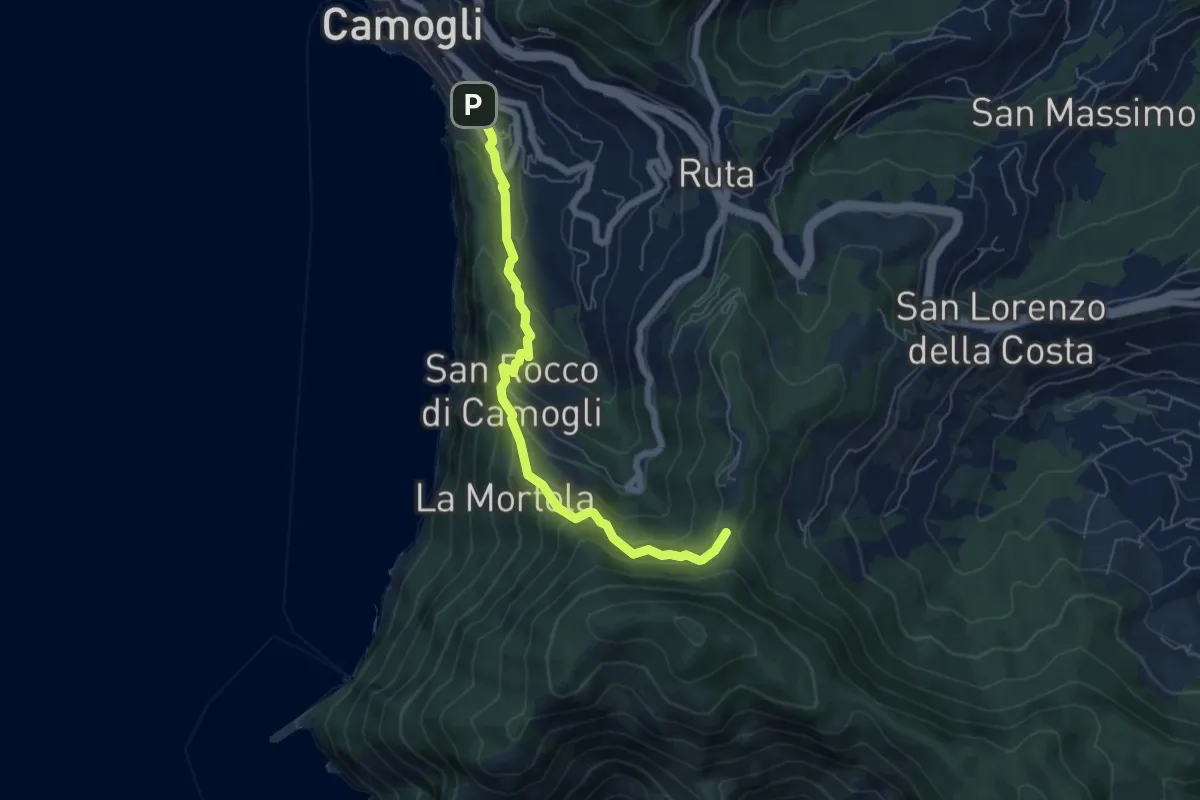
Medium · Trail
Antica Via del Cifalco - deviazione San Rocco/Camogli
6.1 km · ↑ 452 m · 2 h 26 min · 14 km away
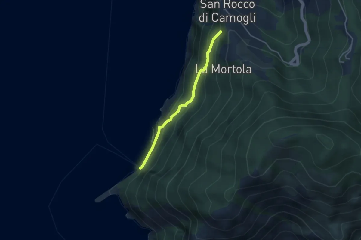
Easy · Trail
San Rocco - San Nicolò di Capodimonte - La Foce (Porto Pidocchio)
2.8 km · ↑ 189 m · 1 h 4 min · 14 km away
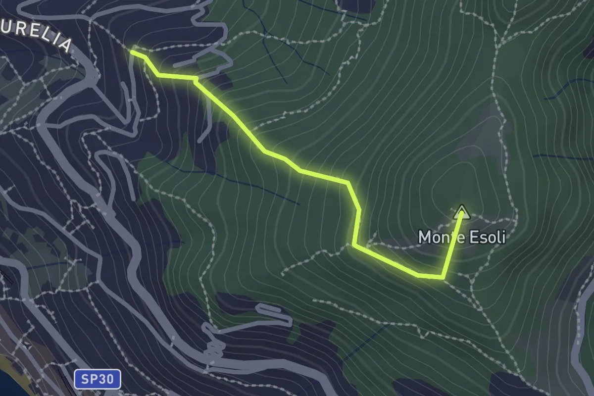
Easy · Summit
San Giacomo - Colle di Monte Esoli
2.2 km · ↑ 273 m · 1 h 6 min · 14 km away
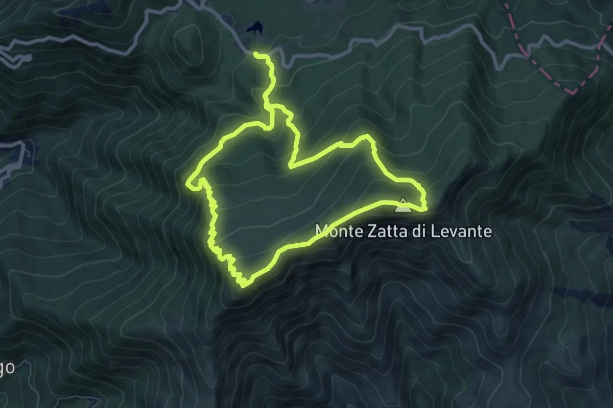
Medium · Summit
A10 - Anello del Monte Zatta
7.5 km · ↑ 519 m · 3 h · 14 km away
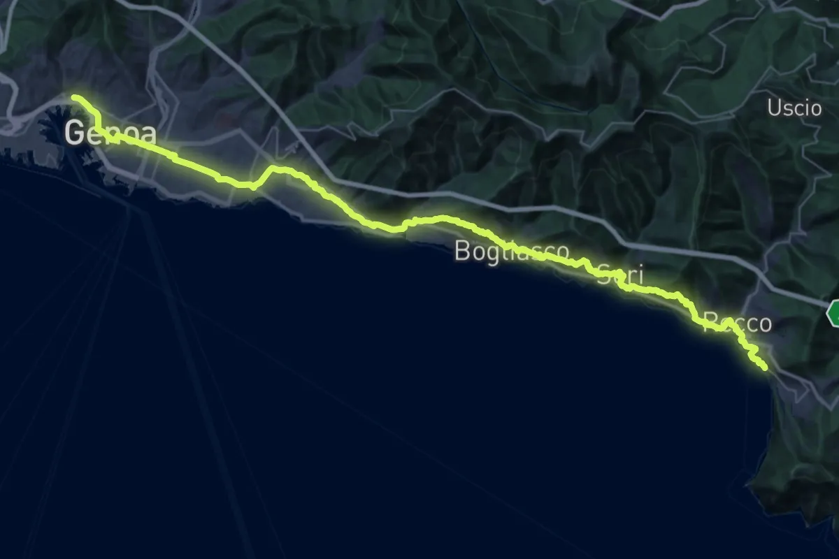
Demanding · Trail
Via della Costa - tappa 8
24.5 km · ↑ 887 m · 8 h 2 min · 14 km away
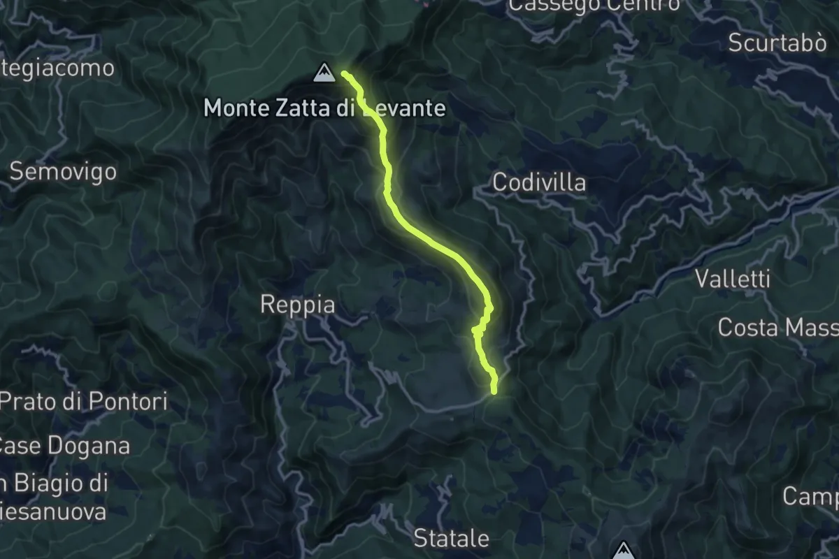
Demanding · Summit
Alta Via delle 5 Terre: Passo del Biscia - Monte Prato Pinello
10.4 km · ↑ 660 m · 3 h 54 min · 14 km away
Medium · Trail
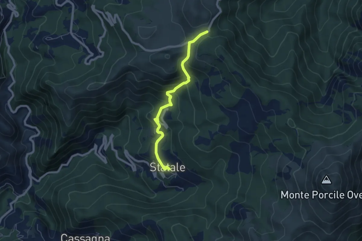
Sentiero dei Celti e dei Liguri - variante semplice tappa 9
5.5 km · ↑ 345 m · 2 h 2 min · 14 km away
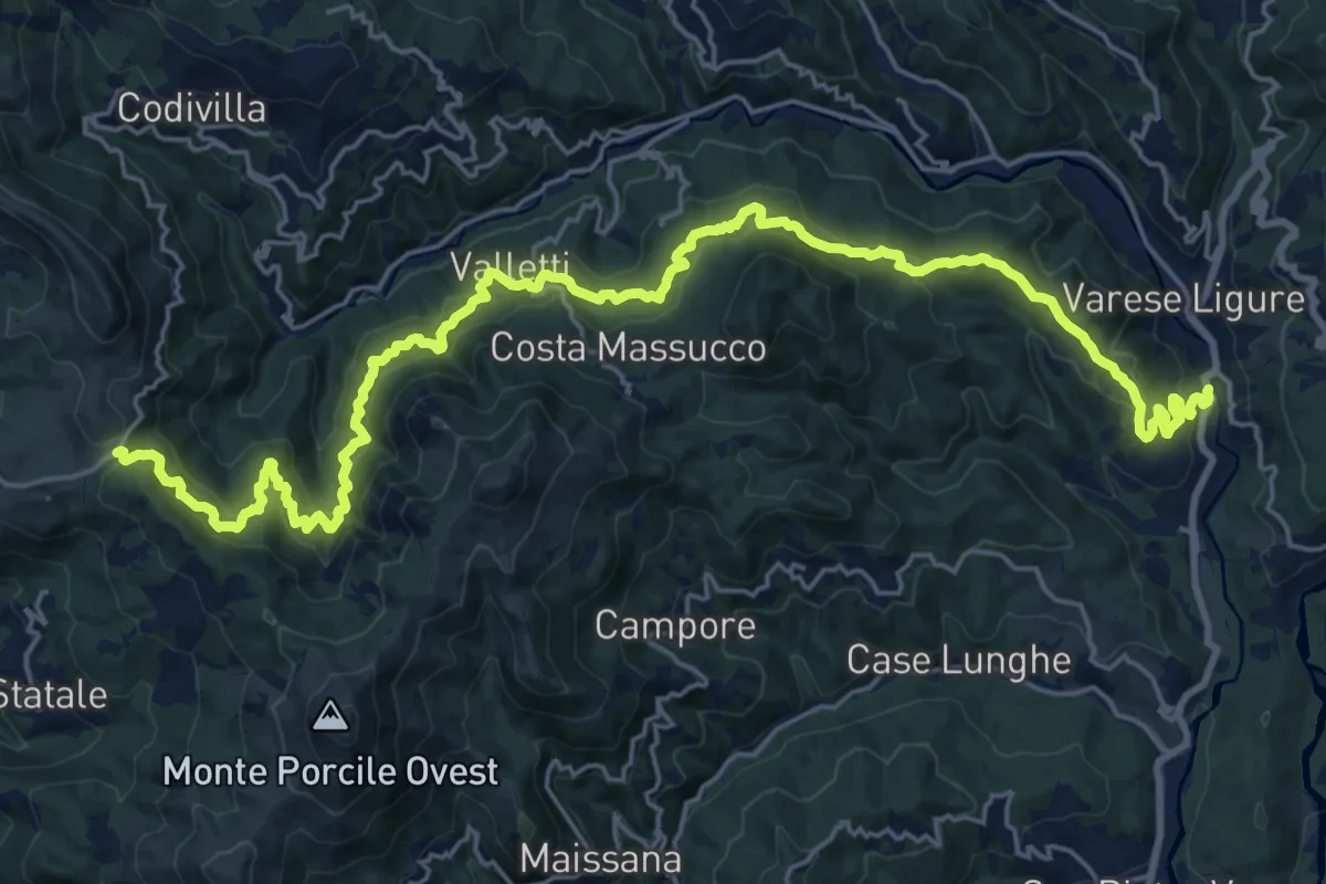
Medium · Trail
Casa Meghini – Case Colea – Valletti – La Cerretta – Passo del Biscia
14.5 km · ↑ 470 m · 4 h 55 min · 14 km away
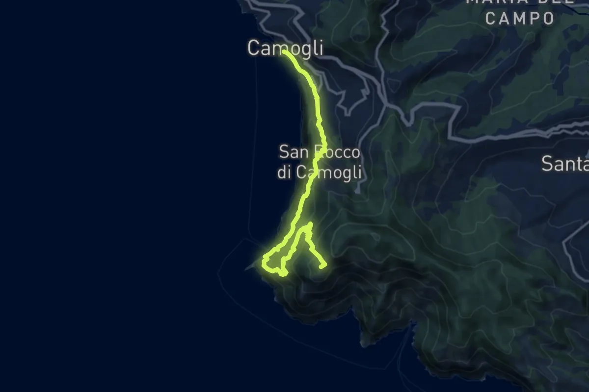
Demanding · Summit
Sentiero Liguria - Tappa 10
12.3 km · ↑ 1213 m · 5 h 32 min · 14 km away
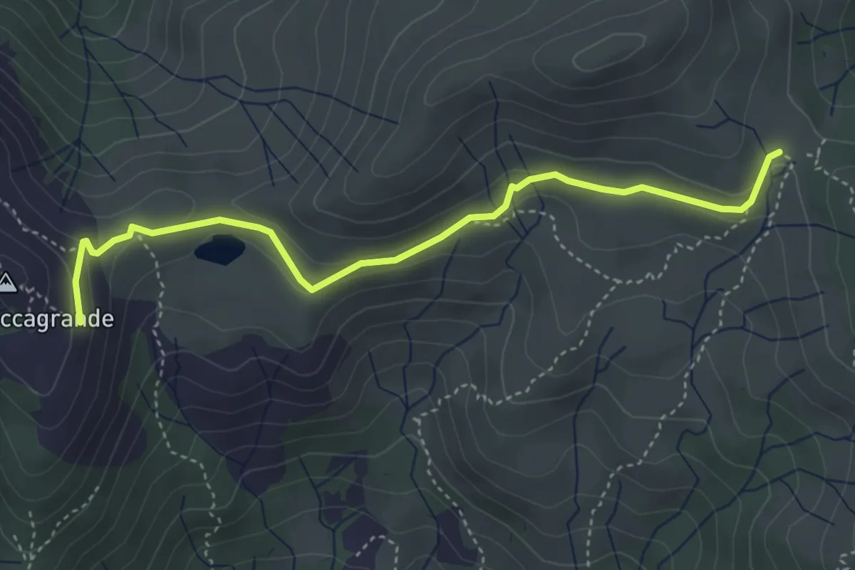
Easy · Trail
Passo del Bocco di Bargone - Pendici Roccagrande
4.4 km · ↑ 149 m · 1 h 22 min · 14 km away