Trails near Civita Castellana
33 hikes starting within 15 km, nearest first.
Nearest first
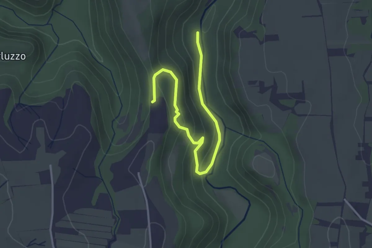
Easy · Trail
Conti Rotatonna
3.7 km · ↑ 153 m · 1 h 13 min · 6 km away
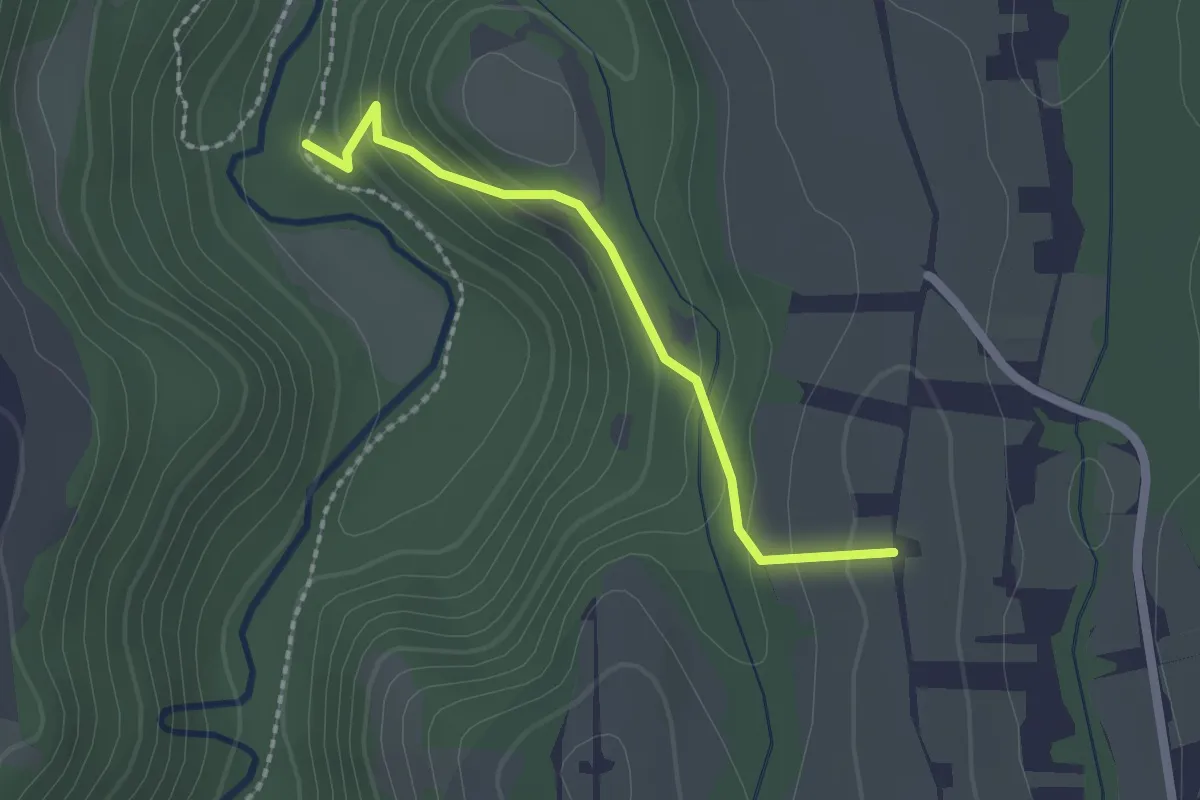
Easy · Trail
Strada la Valle
2.0 km · ↑ 116 m · 43 min · 7 km away
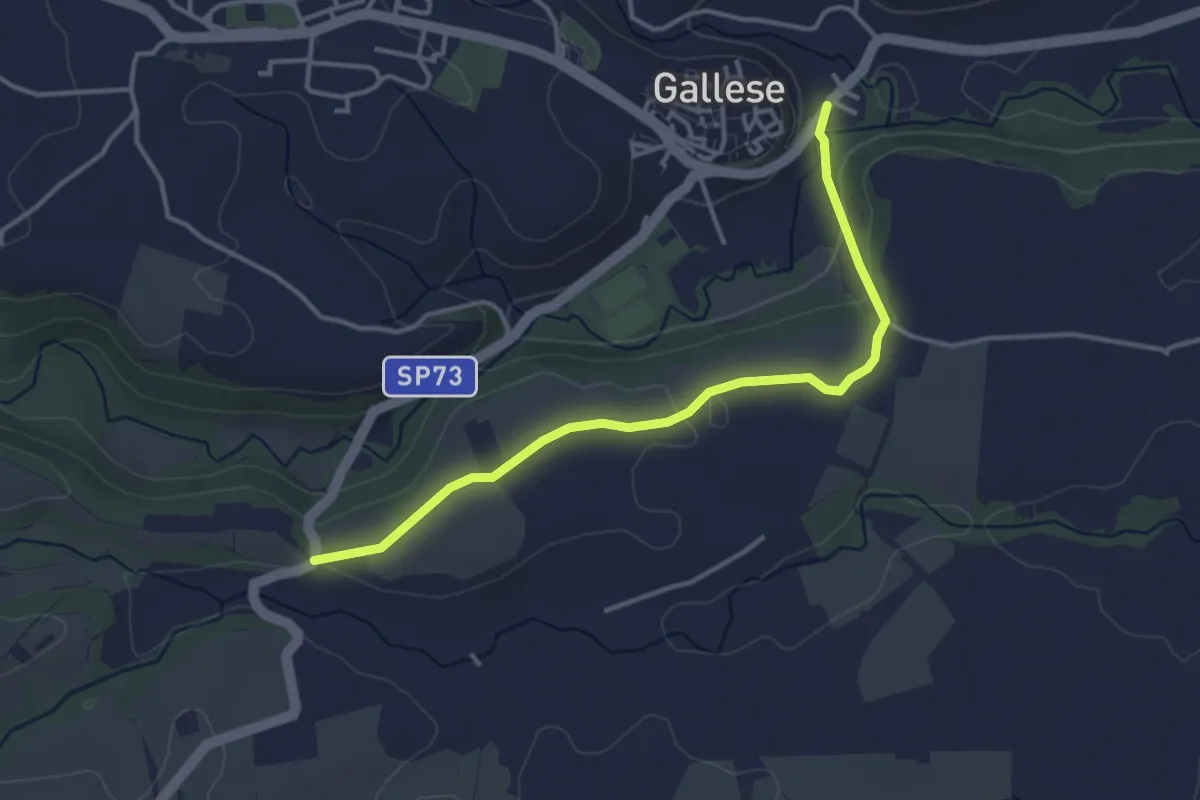
Easy · Trail
PERCORSO 191A – PERCORSO 191B
4.0 km · ↑ 60 m · 1 h 4 min · 8 km away
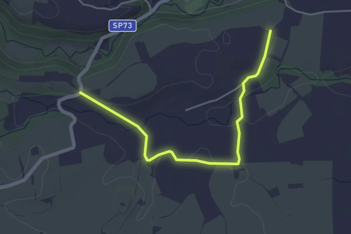
Easy · Trail
Giro della Civetta
4.3 km · ↑ 53 m · 1 h 8 min · 8 km away
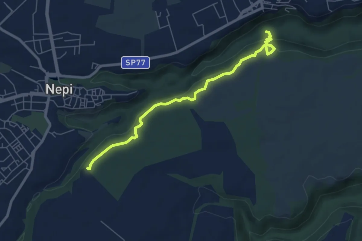
Easy · Trail
percorso 178 – Via Francigena Cimina
5.8 km · ↑ 221 m · 1 h 51 min · 8 km away
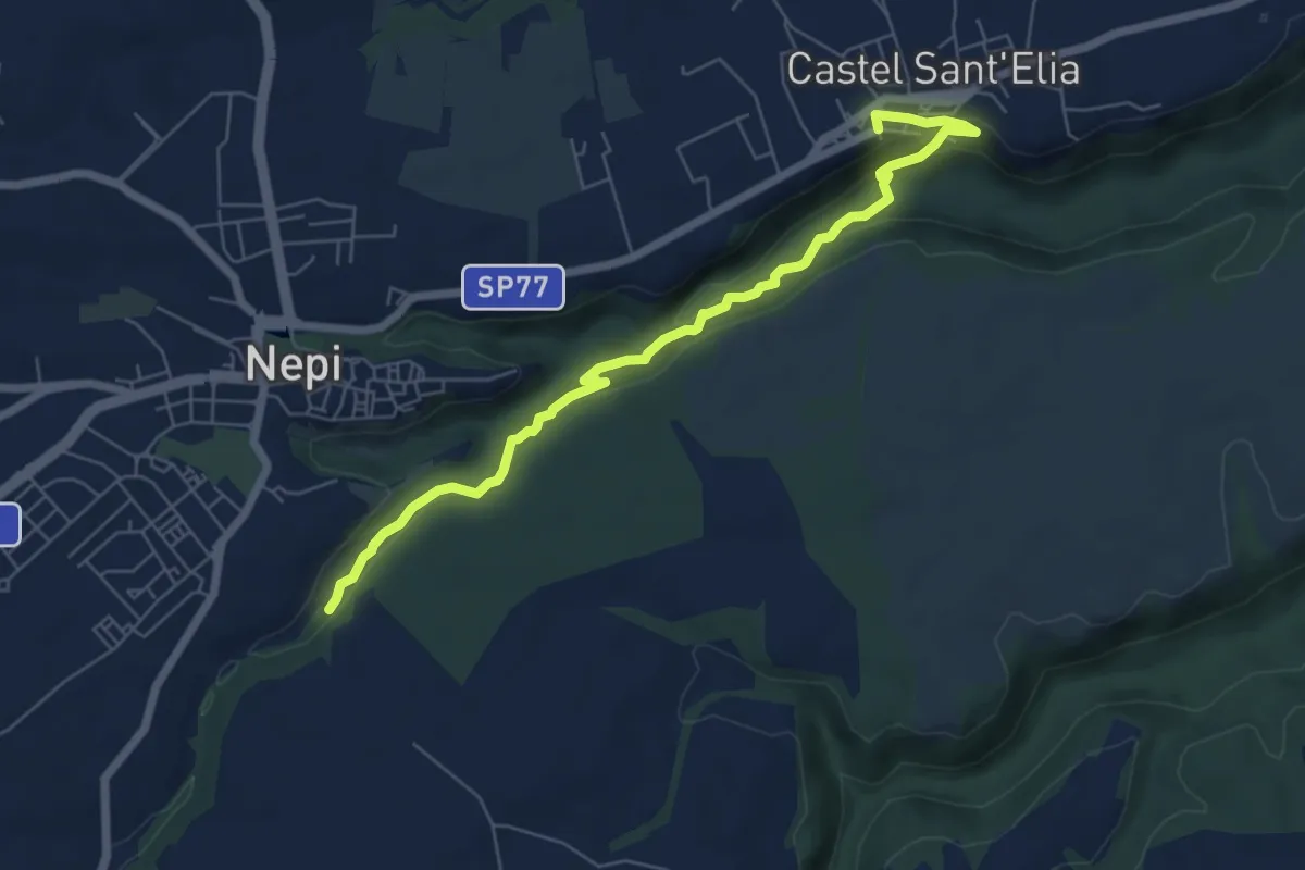
Easy · Trail
Cavoni Nepi – Castel Sant'Elia
7.2 km · ↑ 221 m · 2 h 11 min · 8 km away
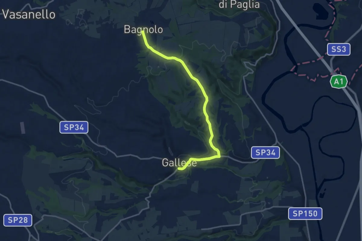
Medium · Trail
Gallese – Bagnolo innesto CT103
12.8 km · ↑ 212 m · 3 h 29 min · 9 km away
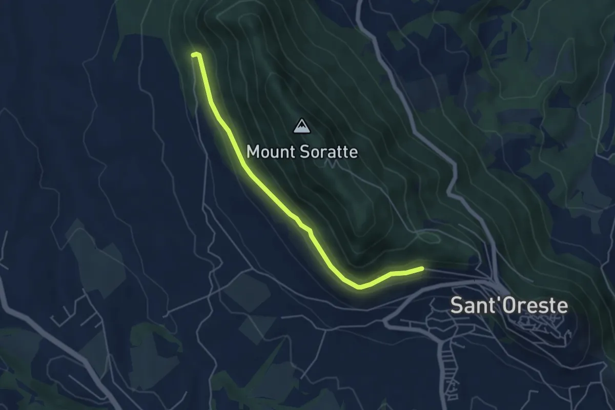
Easy · Trail
Strada Militare
4.9 km · ↑ 100 m · 1 h 22 min · 9 km away
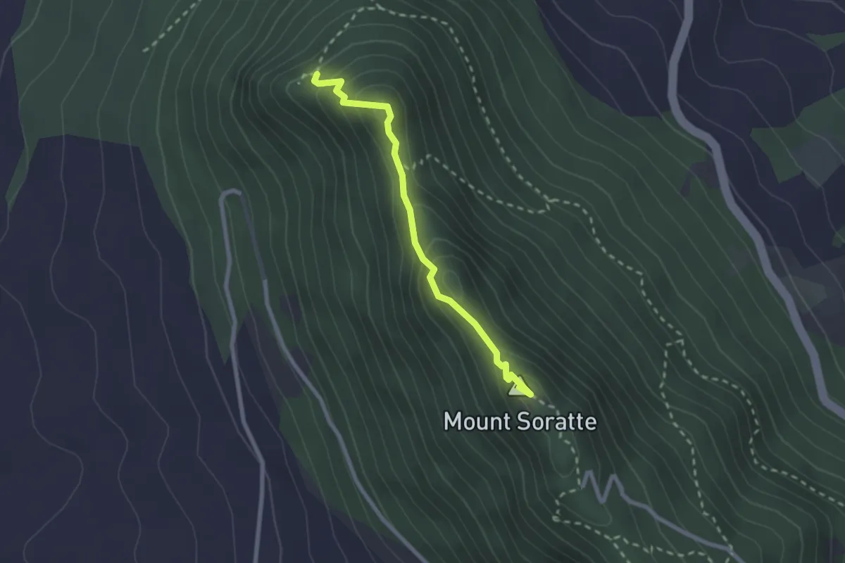
Demanding · Summit
Le Grotte
2.4 km · ↑ 186 m · 58 min · 9 km away
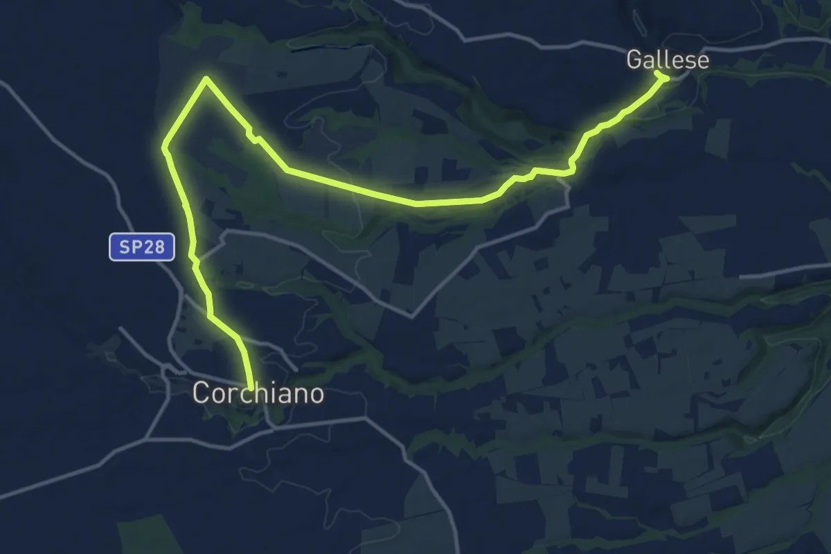
Medium · Trail
Gallese – Corchiano
17.6 km · ↑ 215 m · 4 h 37 min · 9 km away
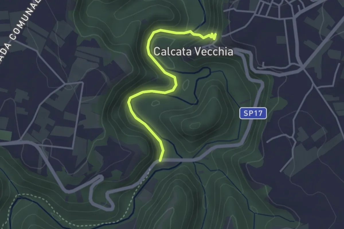
Easy · Trail
Fonteiano
3.5 km · ↑ 155 m · 1 h 9 min · 9 km away
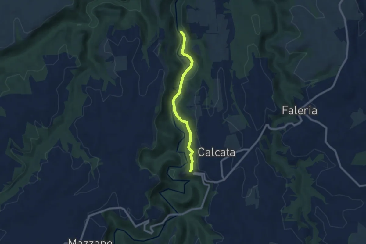
Easy · Trail
Ceciuli
5.5 km · ↑ 206 m · 1 h 45 min · 9 km away
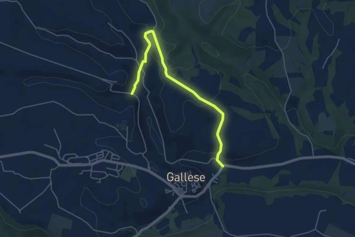
Easy · Trail
PERCORSO 191B – PERCORSO 191
4.7 km · ↑ 114 m · 1 h 22 min · 9 km away
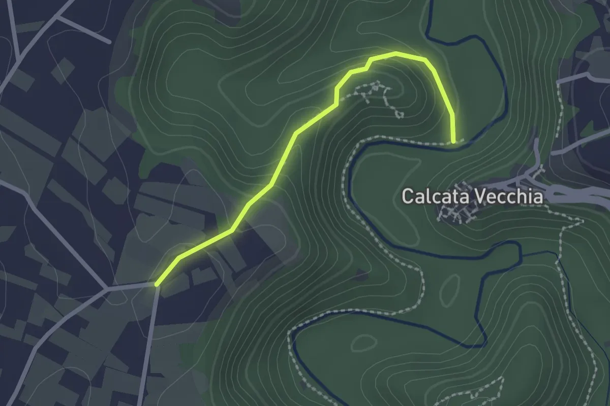
Easy · Trail
Calcata – Santa Maria di Castelvecchio
2.1 km · ↑ 113 m · 45 min · 9 km away
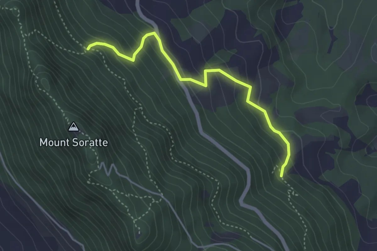
Easy · Trail
203 Santa Romana – 202 Percorso Vita
4.1 km · ↑ 285 m · 1 h 35 min · 9 km away
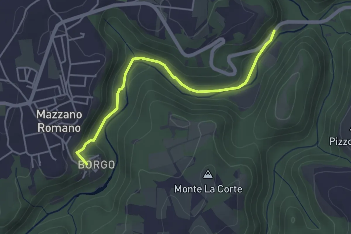
Easy · Trail
Fossi della Mola di Monte Gelato
3.9 km · ↑ 95 m · 1 h 7 min · 10 km away
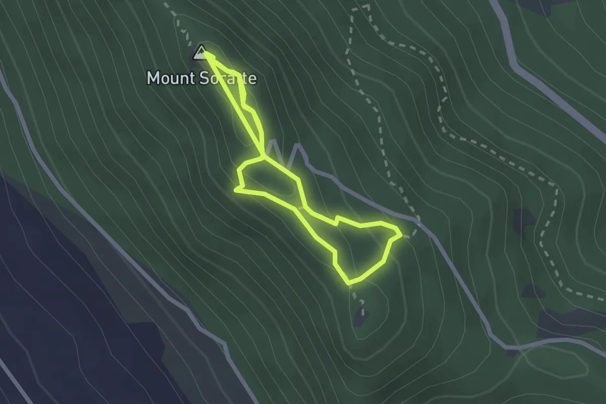
Medium · Summit
Sentiro degli Eremi
2.1 km · ↑ 102 m · 43 min · 10 km away
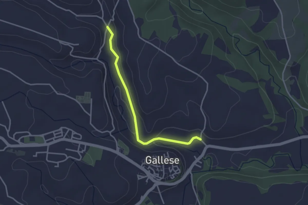
Easy · Trail
Strada del Pappagallo
3.0 km · ↑ 35 m · 47 min · 10 km away
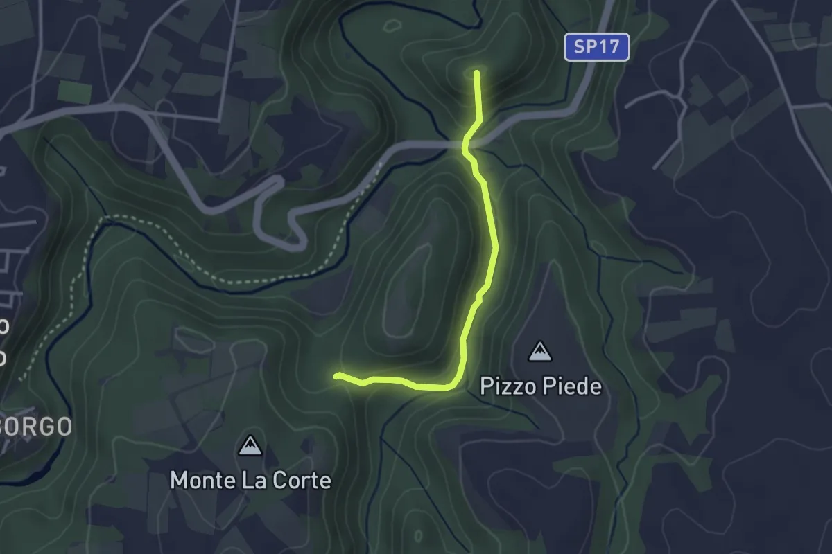
Easy · Summit
Monte li Santi
2.8 km · ↑ 130 m · 57 min · 10 km away
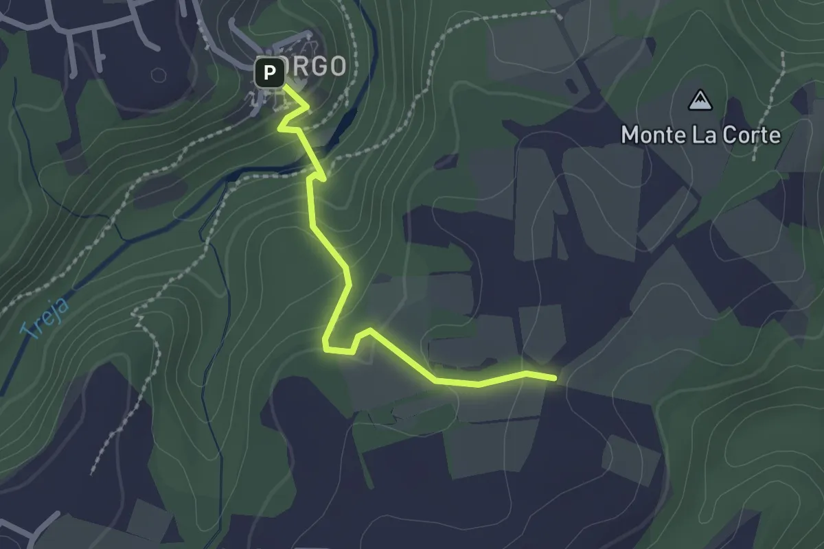
Easy · Trail
Settecannelle
2.1 km · ↑ 114 m · 45 min · 10 km away
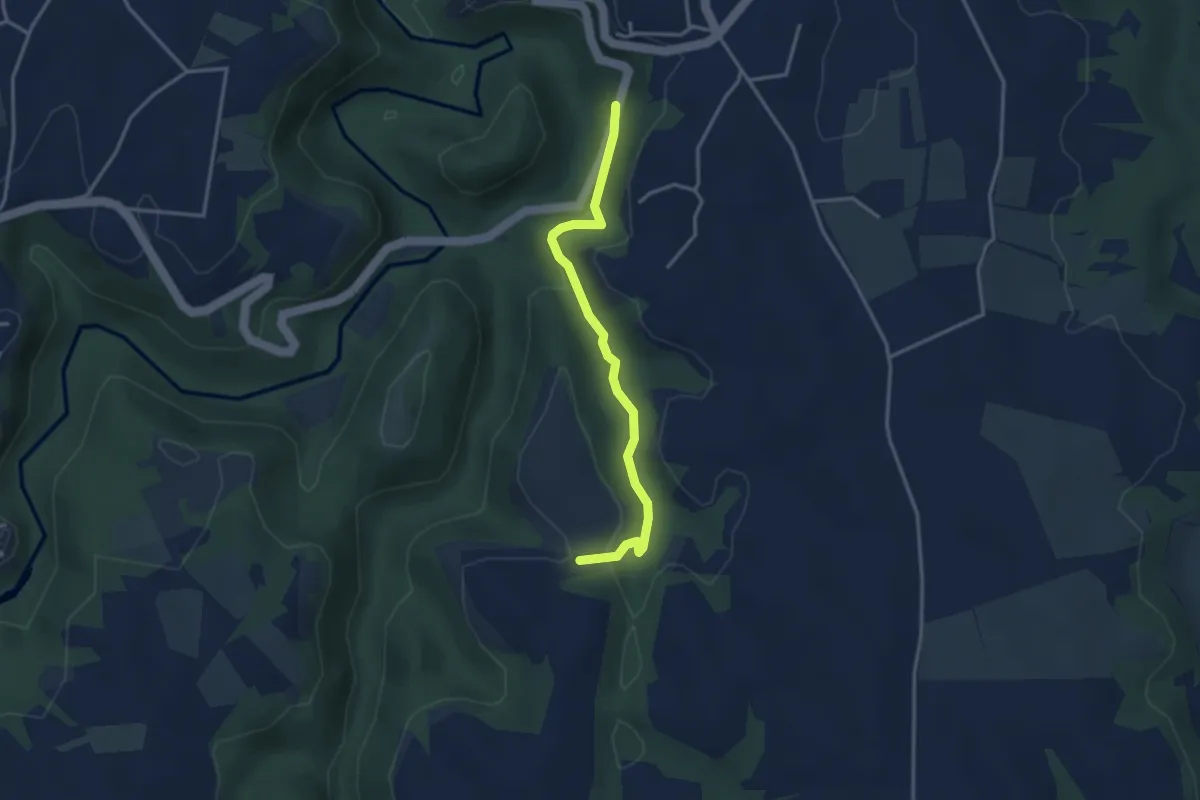
Easy · Trail
I Tufi
3.5 km · ↑ 150 m · 1 h 9 min · 10 km away
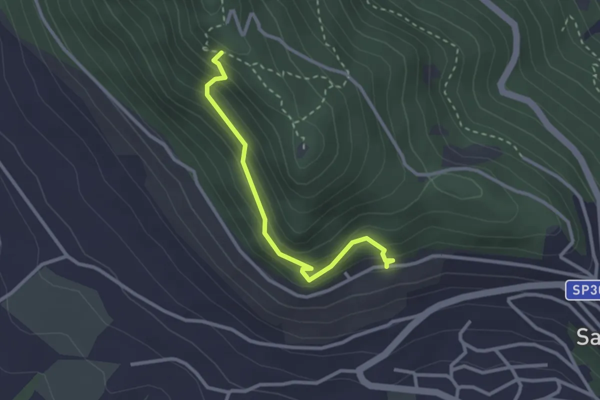
Easy · Trail
Alta Via
2.6 km · ↑ 249 m · 1 h 9 min · 11 km away
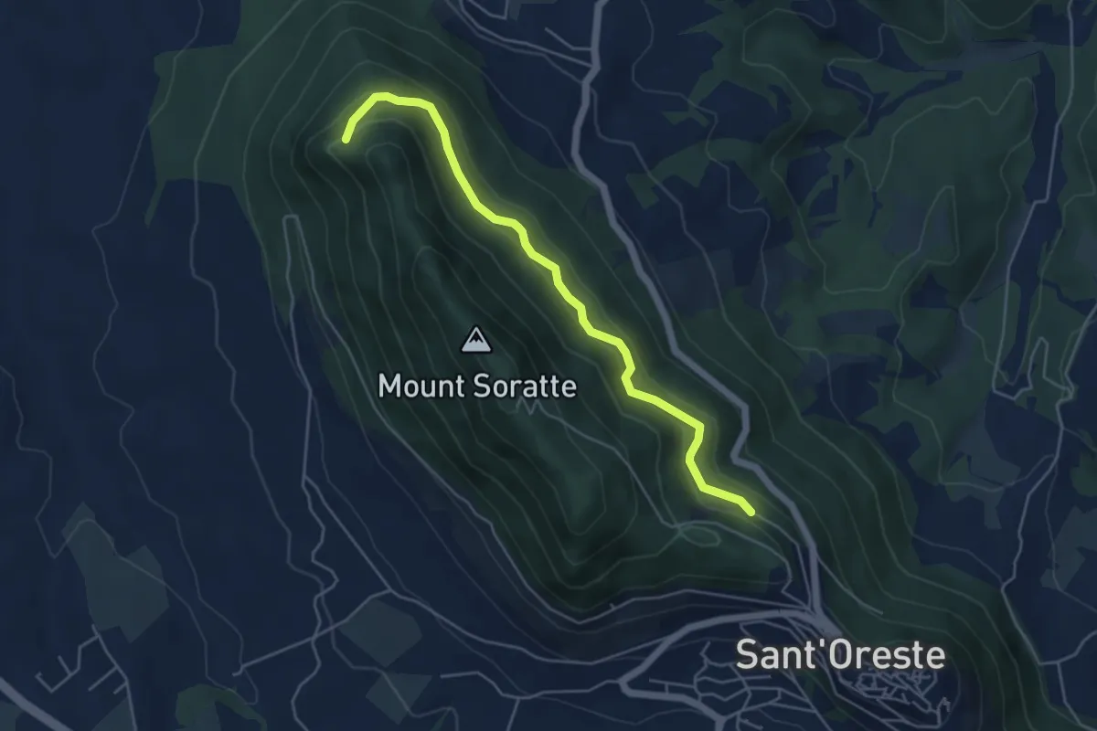
Expert · Trail
Percorso Vita
5.3 km · ↑ 198 m · 1 h 40 min · 11 km away
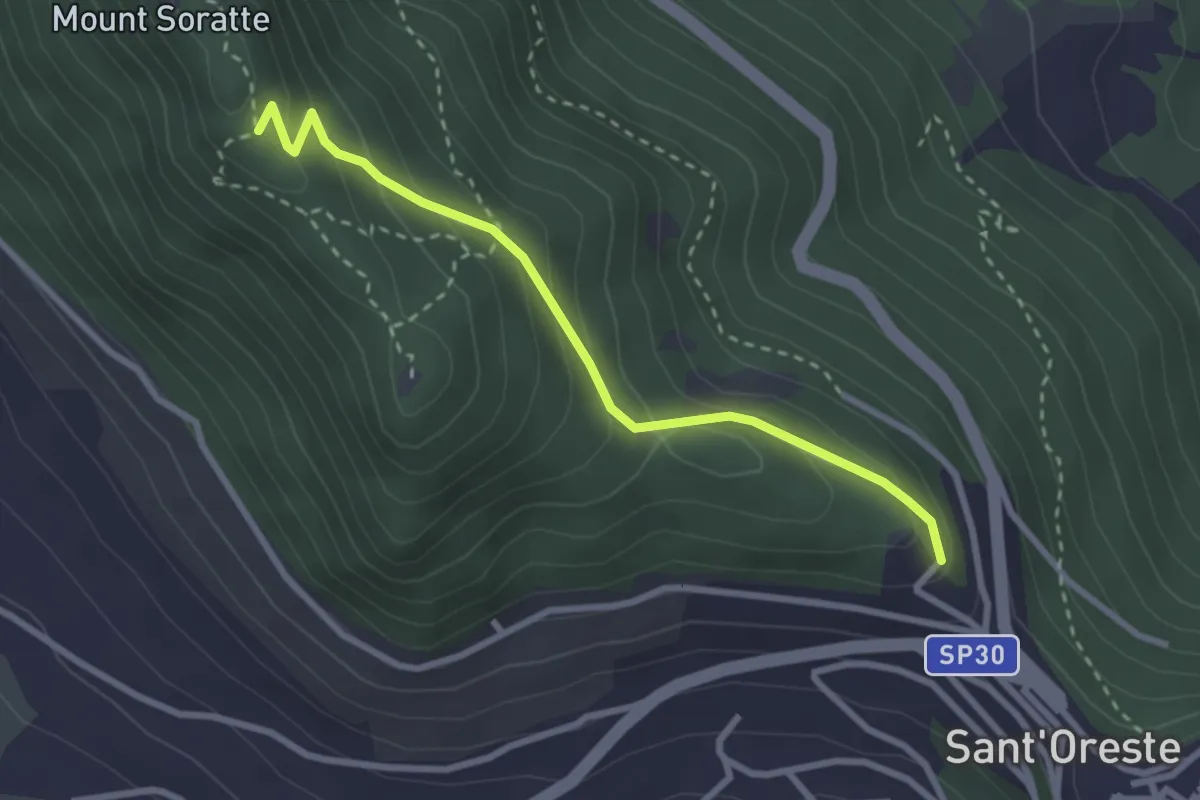
Easy · Trail
Madonna delle Grazie
3.0 km · ↑ 199 m · 1 h 8 min · 11 km away
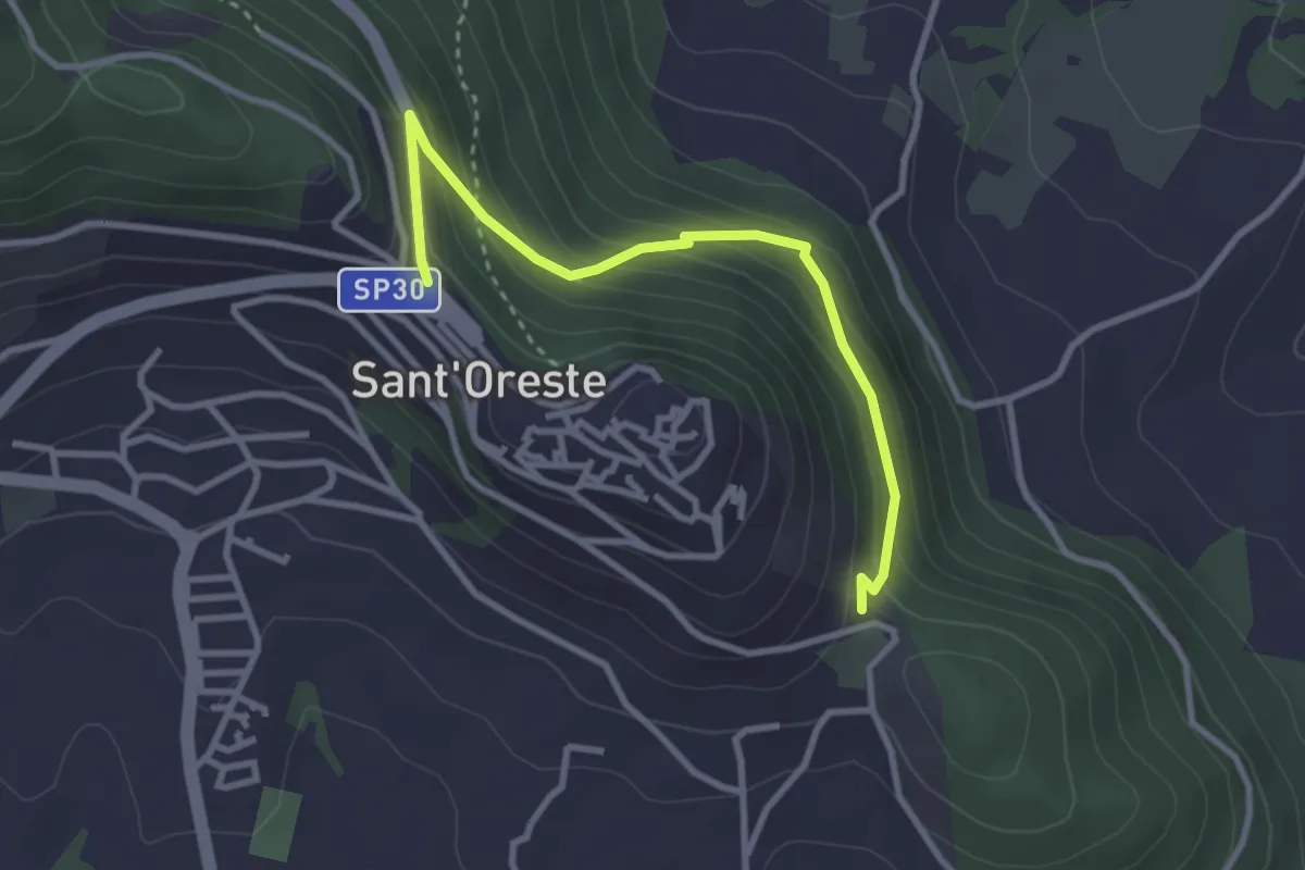
Easy · Trail
Percorso Sant'Edisto - Santo Stefano – Sant’Uberto
3.4 km · ↑ 244 m · 1 h 20 min · 11 km away
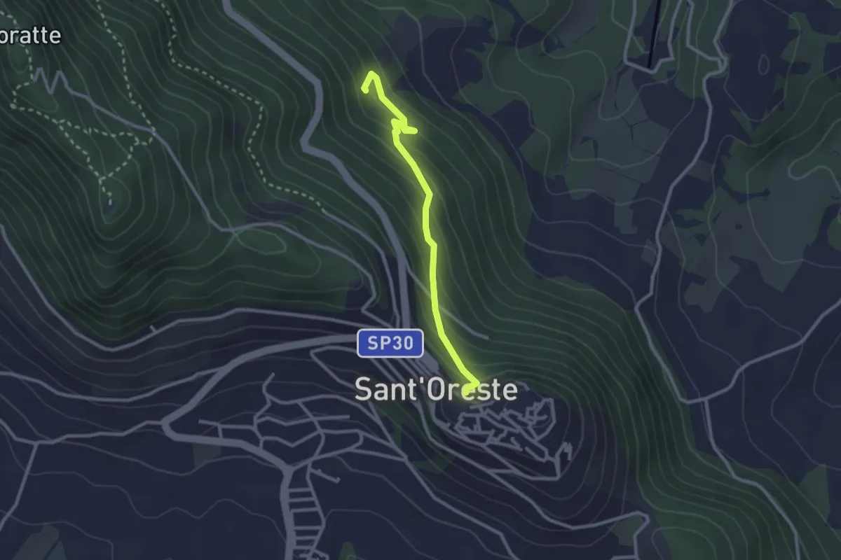
Easy · Trail
Santa Romana e dei Meri
2.6 km · ↑ 193 m · 1 h 2 min · 11 km away
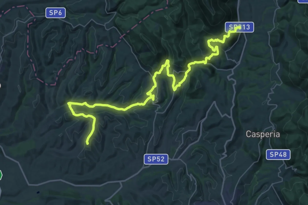
Demanding · Trail
Cammino dei Borghi Sabini - tappa 5
21.9 km · ↑ 882 m · 7 h 18 min · 13 km away
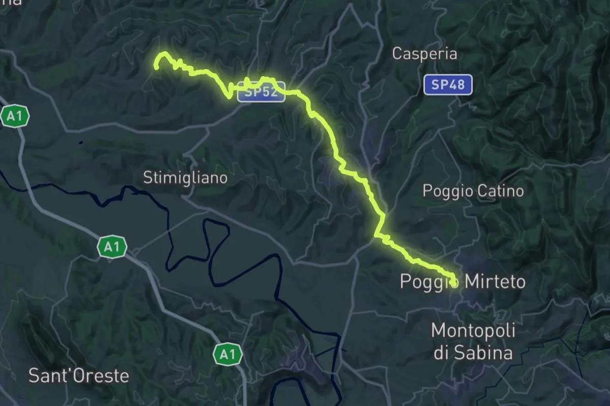
Demanding · Trail
Cammino dei Borghi Sabini - tappa 6
19.9 km · ↑ 500 m · 6 h 3 min · 13 km away
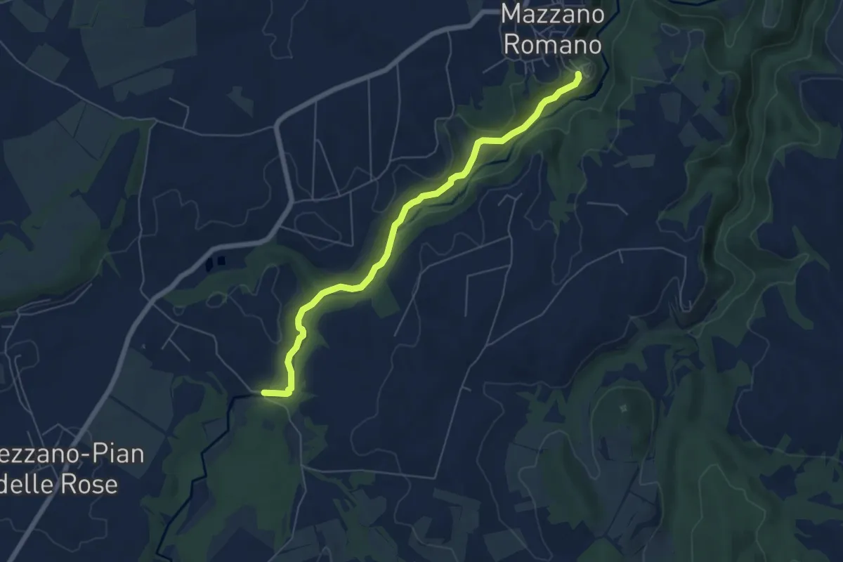
Easy · Trail
Fossi della Mola di Monte Gelato
6.5 km · ↑ 174 m · 1 h 54 min · 13 km away
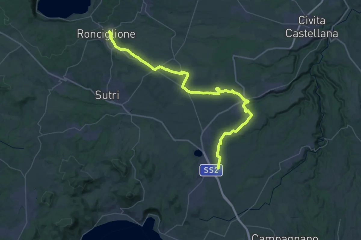
Demanding · Trail
Variante Cimina
23.6 km · ↑ 319 m · 6 h 29 min · 13 km away
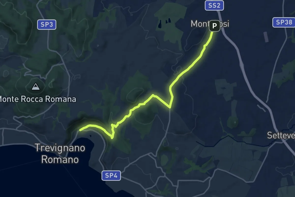
Medium · Trail
Trevignano Romano – Monterosi
15.6 km · ↑ 308 m · 4 h 21 min · 14 km away
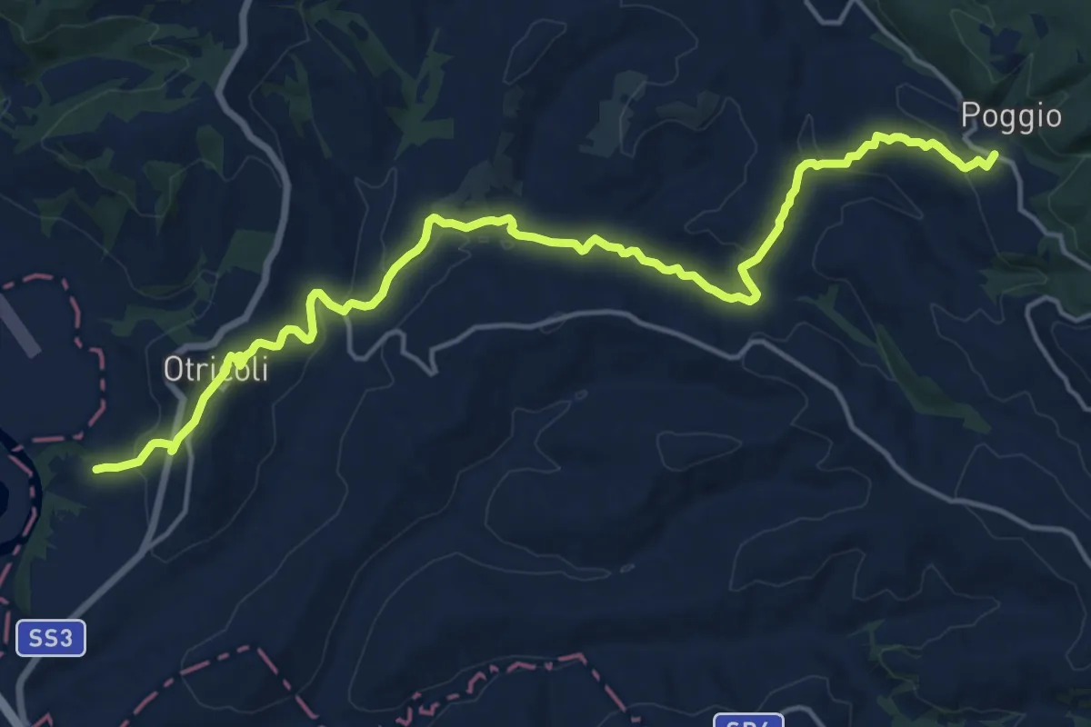
Demanding · Trail
Ocriculum – Poggio
20.0 km · ↑ 535 m · 5 h 53 min · 14 km away
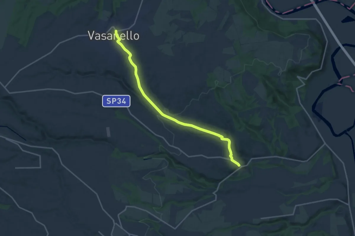
Medium · Trail
Gallese – Vasanello
14.9 km · ↑ 246 m · 4 h 2 min · 14 km away