Trails near Colico
78 hikes starting within 15 km, nearest first.
Nearest first, page 2 of 2
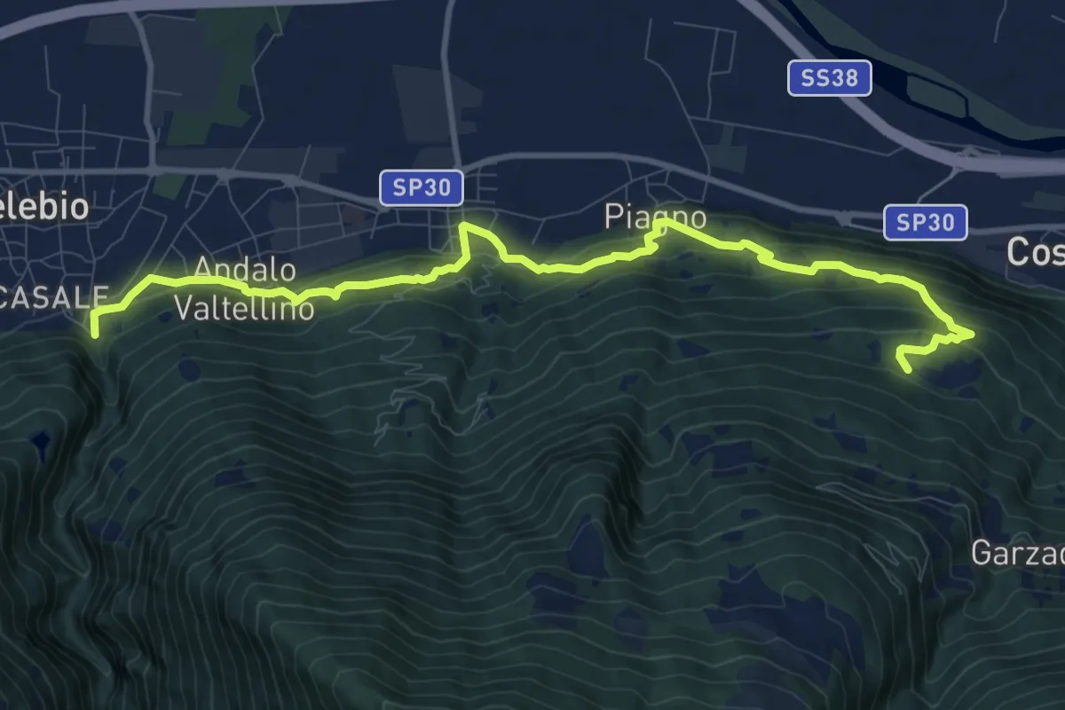
Demanding · Trail
Sentiero del Viandante (Delebio - Cosio Valtellino)
11.6 km · ↑ 665 m · 4 h 11 min · 11 km away
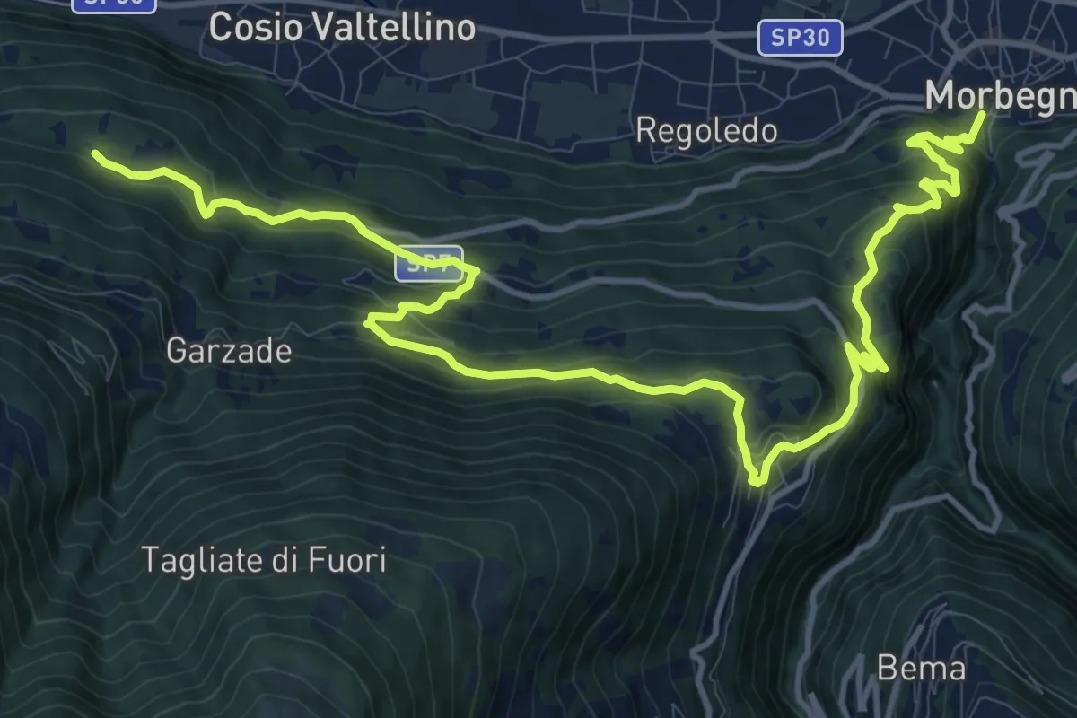
Demanding · Trail
Sentiero del Viandante (Cosio Valtellino - Morbegno)
16.7 km · ↑ 1056 m · 6 h 14 min · 11 km away
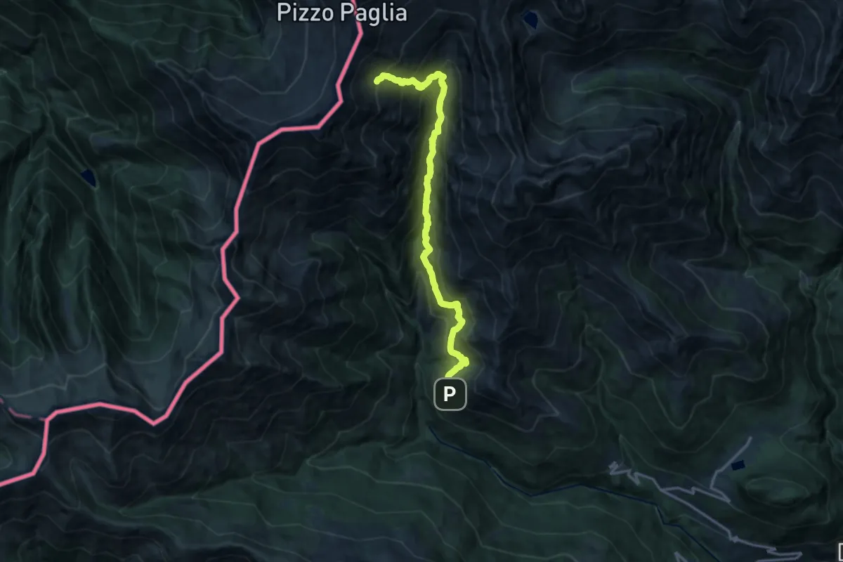
Demanding · Cabin
Muggiolo – Bivacco Zeb
14.7 km · ↑ 1296 m · 6 h 16 min · 11 km away
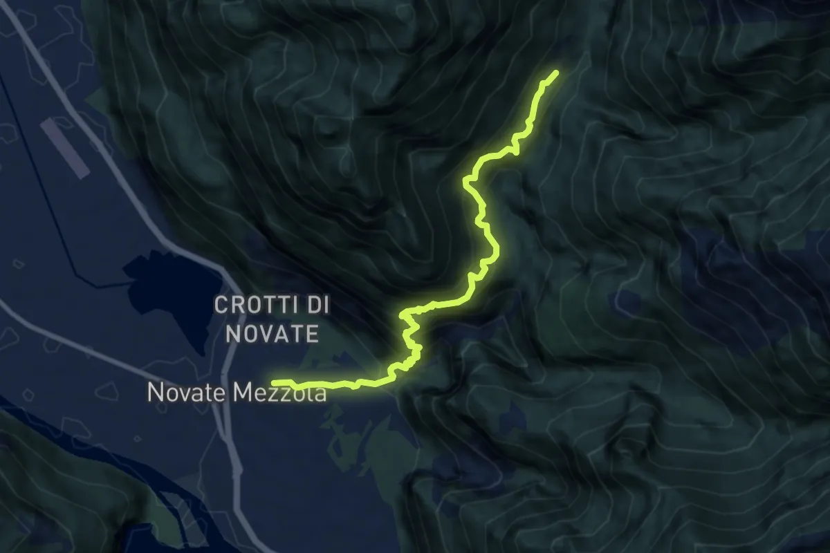
Demanding · Cabin
Novate Mezzola – Codera
8.7 km · ↑ 1113 m · 4 h 28 min · 11 km away
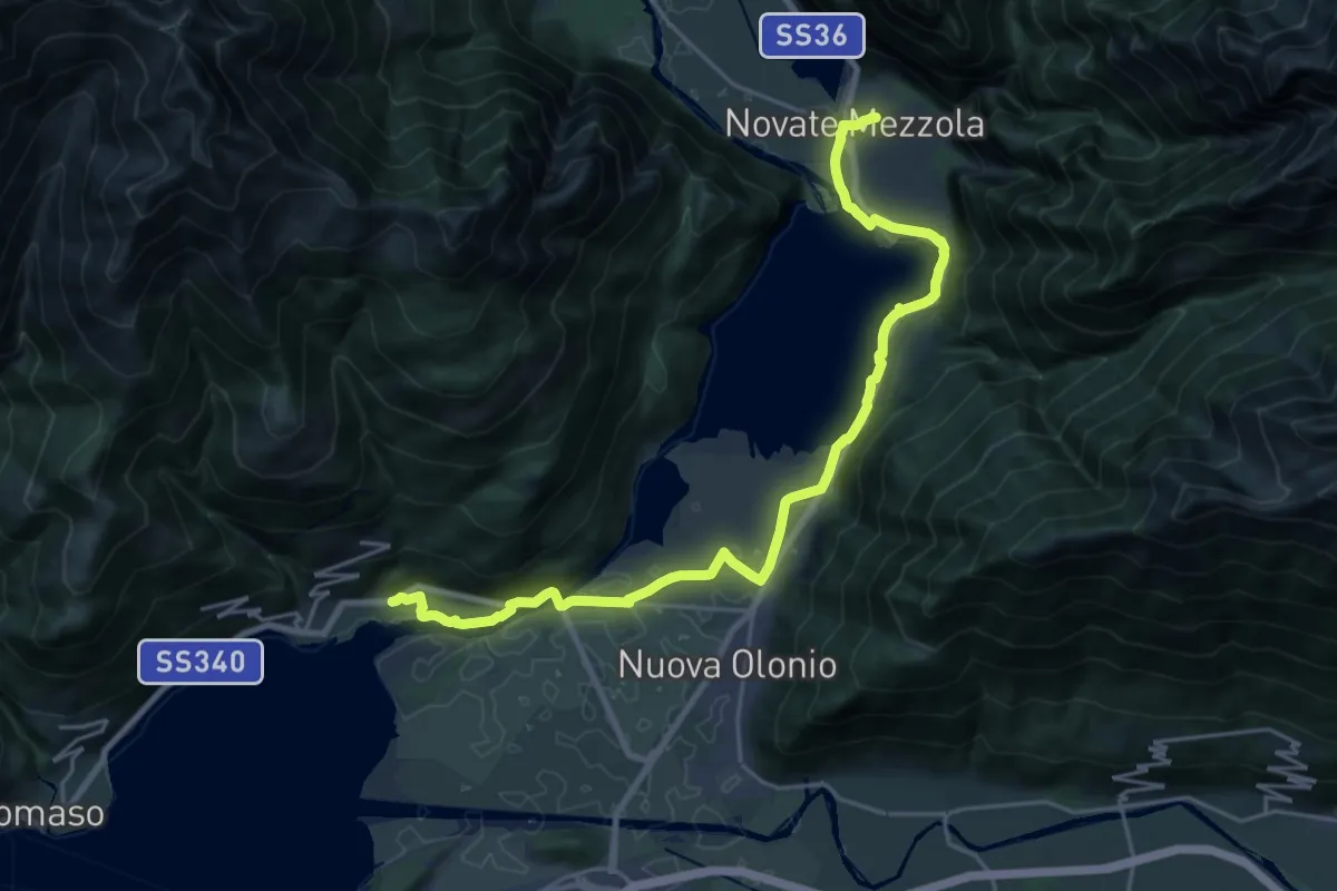
Demanding · Trail
Sorico – Novate Mezzola
24.9 km · ↑ 371 m · 6 h 40 min · 11 km away
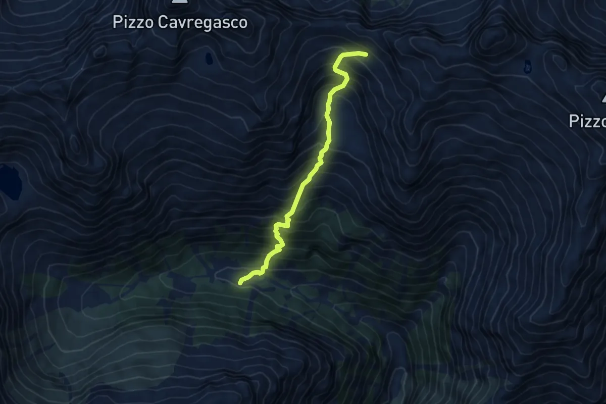
Medium · Trail
Dangri - Bivacco Petazzi
5.5 km · ↑ 791 m · 3 h 1 min · 12 km away
Demanding · Cabin
Sentiero Roma - Tappa 1
10.2 km · ↑ 1287 m · 4 h 51 min · 12 km away
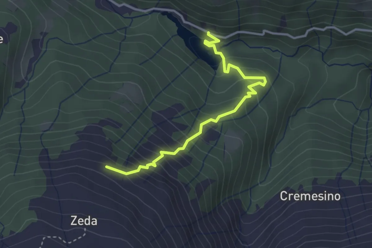
Medium · Trail
Valle Albano
3.2 km · ↑ 348 m · 1 h 31 min · 12 km away
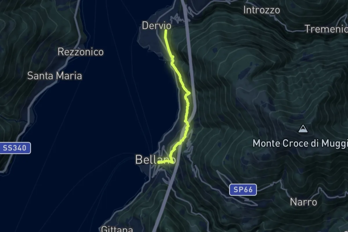
Medium · Trail
Sentiero del Viandante (Bellano - Dervio)
9.6 km · ↑ 668 m · 3 h 42 min · 12 km away
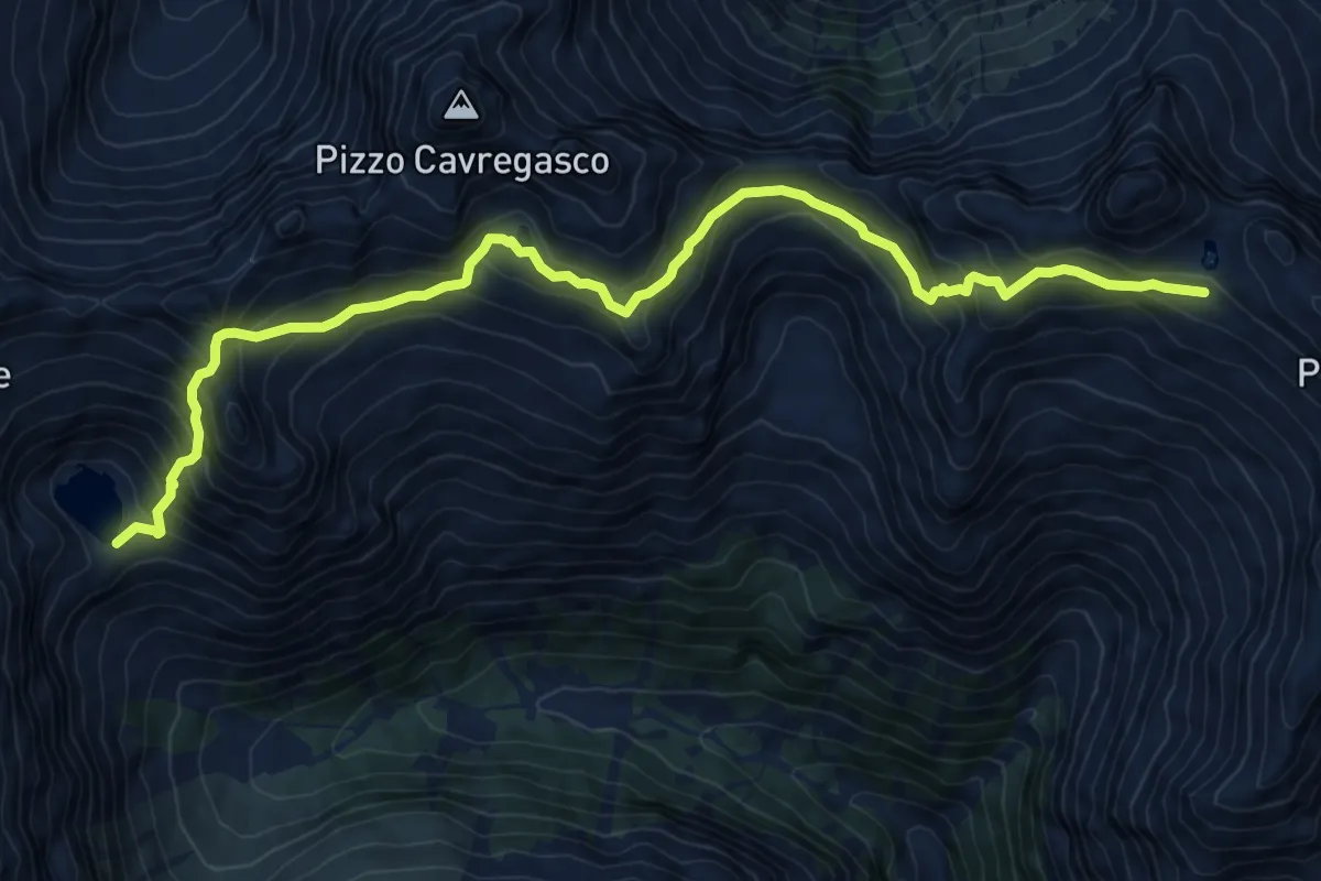
Demanding · Cabin
Alta Via del Lario (Rif. Darengo - Bivacco Petazzi al lago Ledù)
11.4 km · ↑ 1031 m · 4 h 55 min · 12 km away
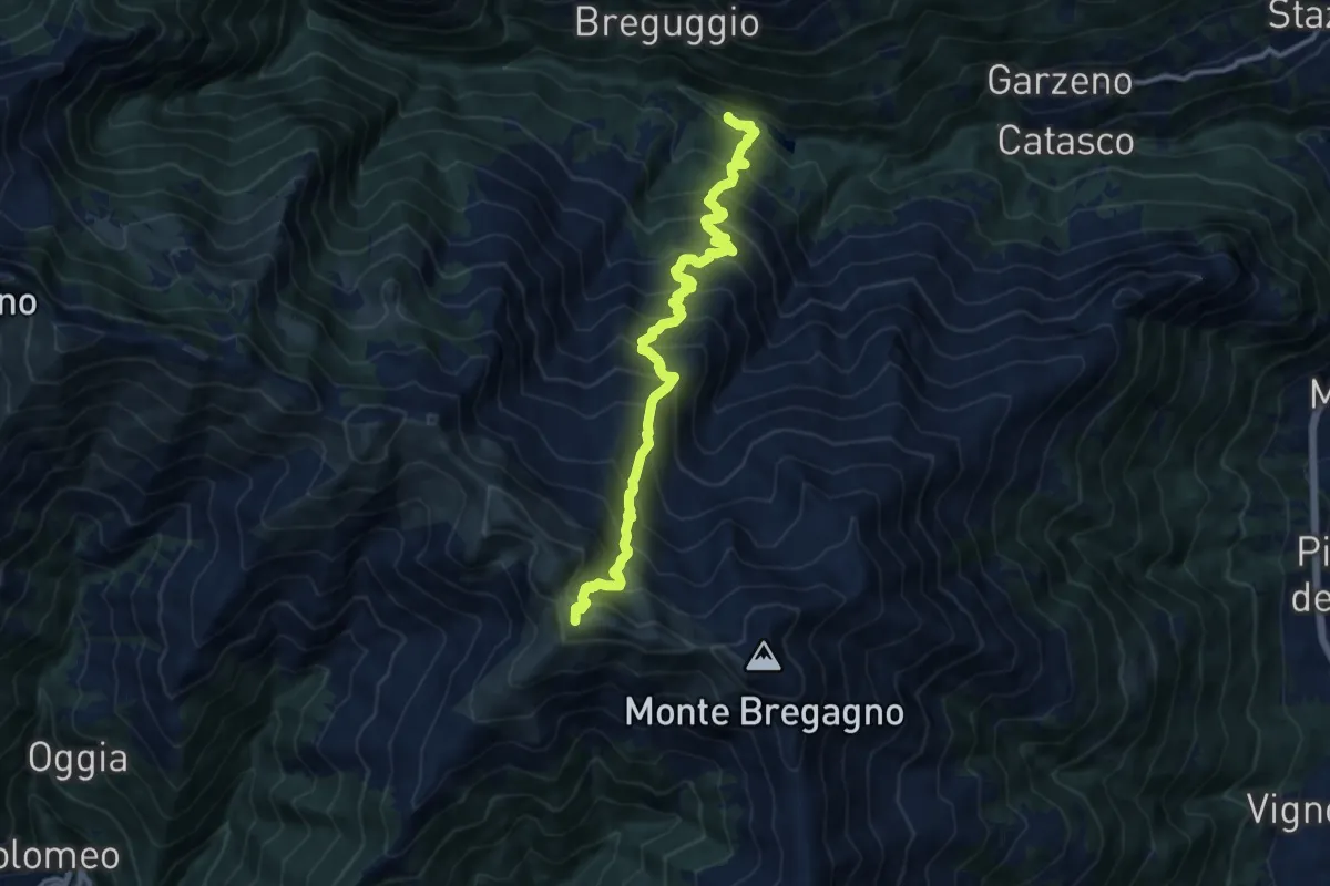
Demanding · Summit
Garzeno - Marnotto
11.8 km · ↑ 1370 m · 5 h 46 min · 12 km away
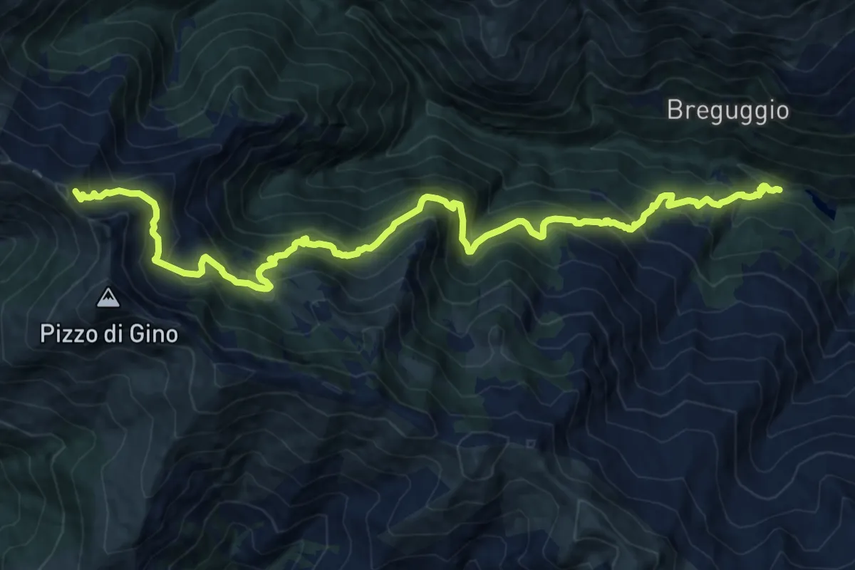
Demanding · Trail
Ponte delle Seghe - Sommafiume
17.8 km · ↑ 1674 m · 7 h 50 min · 12 km away
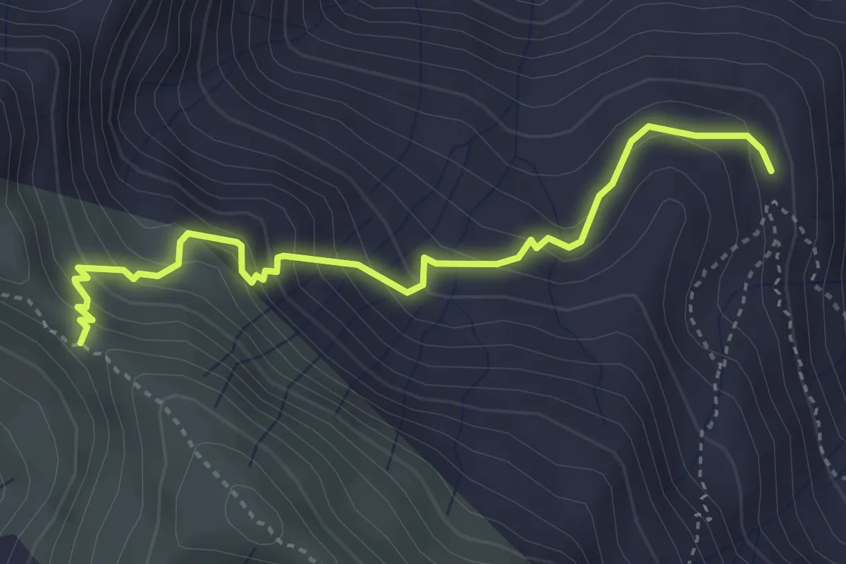
Medium · Trail
Per il Monte Marnotto
4.0 km · ↑ 346 m · 1 h 41 min · 13 km away
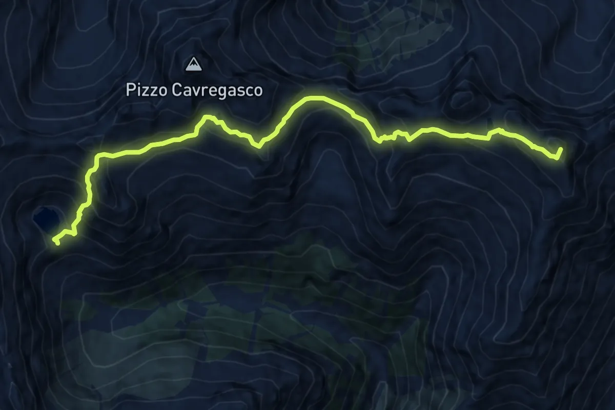
Demanding · Summit
Alta Via del Lario - Tappa 1
13.3 km · ↑ 1180 m · 5 h 42 min · 13 km away
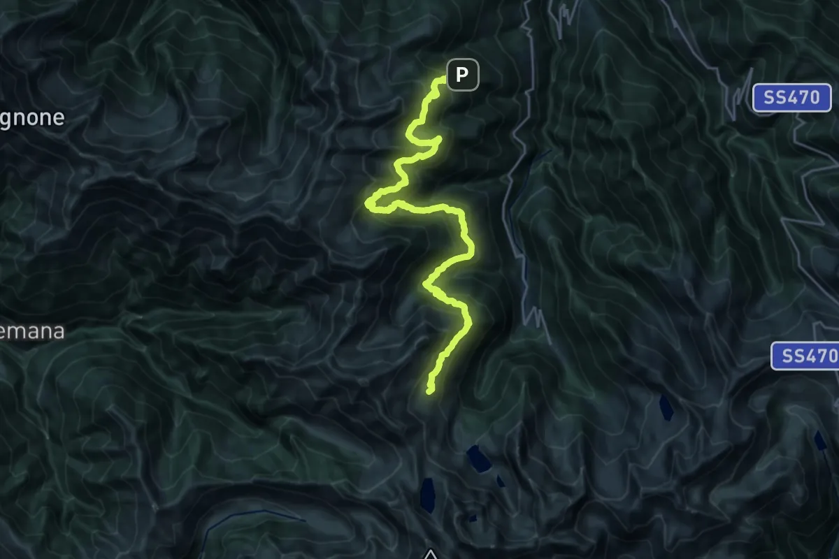
Demanding · Cabin
Gran Via delle Orobie - Tappa 3
13.0 km · ↑ 1211 m · 5 h 40 min · 13 km away
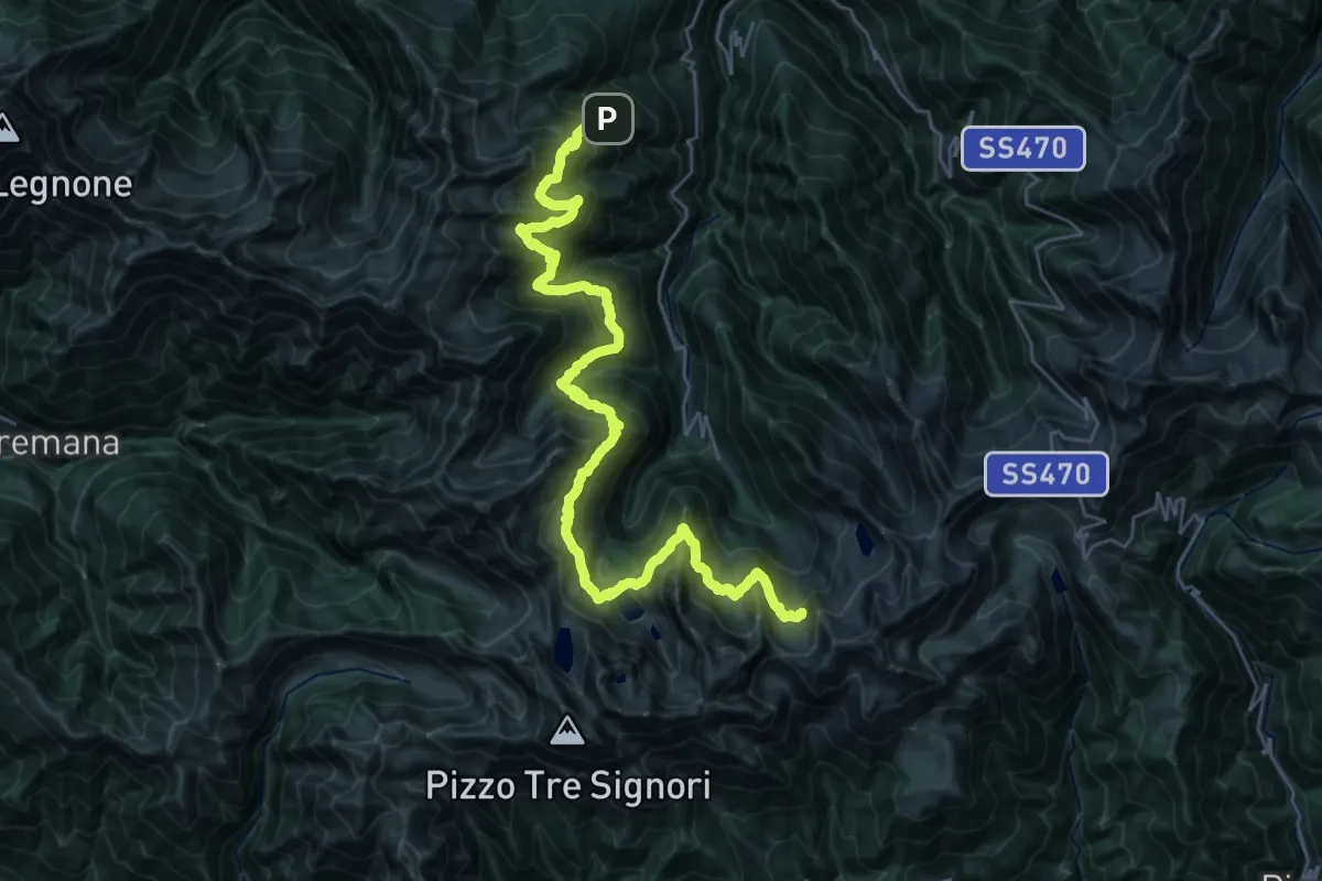
Demanding · Cabin
CamminaForeste - Tappa 6C
19.0 km · ↑ 1482 m · 7 h 47 min · 13 km away
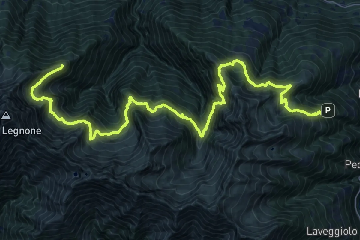
Expert · Cabin
Gran Via delle Orobie - Tappa 2
17.8 km · ↑ 1585 m · 7 h 48 min · 13 km away
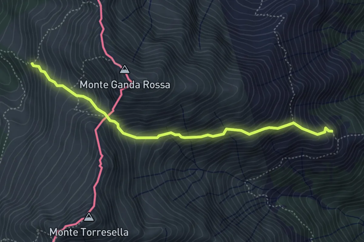
Medium · Trail
Rifugio Vincino-Alta Via del Lario
4.8 km · ↑ 672 m · 2 h 36 min · 13 km away
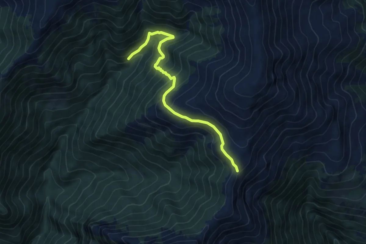
Medium · Trail
Sant'Amate - Sentiero Quattro Valli
6.9 km · ↑ 485 m · 2 h 41 min · 14 km away
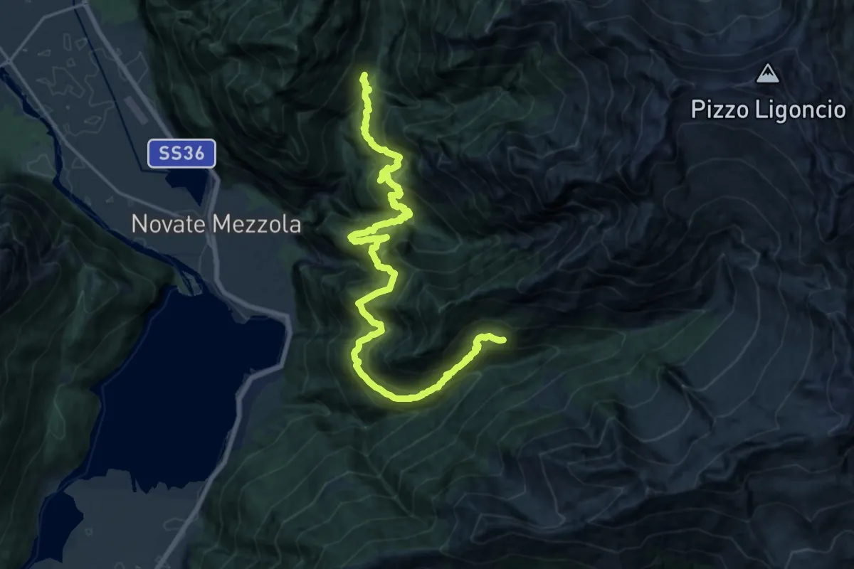
Demanding · Cabin
Codera – Frasnedo
10.7 km · ↑ 1490 m · 5 h 40 min · 14 km away
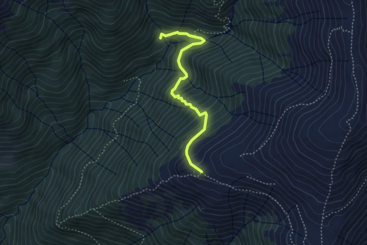
Medium · Cabin
Alpe Leveja – Alpe Nesdale
3.6 km · ↑ 371 m · 1 h 39 min · 14 km away
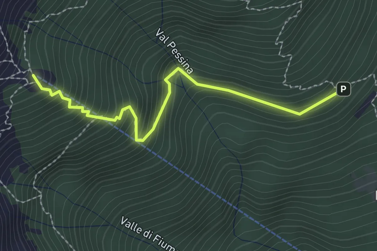
Medium · Cabin
Sentiero basso Rifugio Menaggio
2.3 km · ↑ 253 m · 1 h 5 min · 14 km away
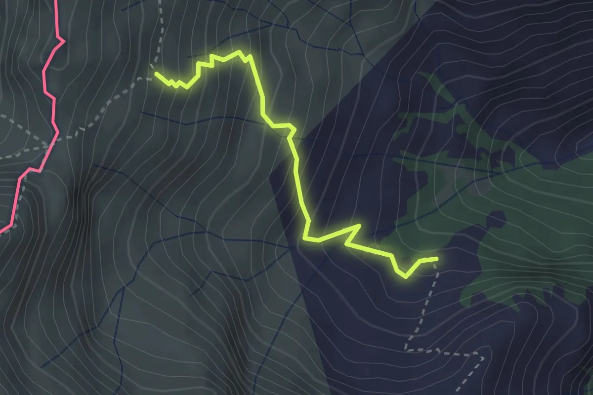
Medium · Trail
RIfugio Vincino - Camedo
2.7 km · ↑ 358 m · 1 h 25 min · 14 km away
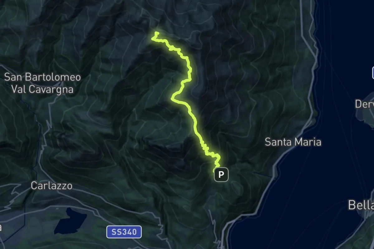
Demanding · Summit
Breglia – Bocchetta di Rozzo
18.5 km · ↑ 1576 m · 7 h 46 min · 14 km away
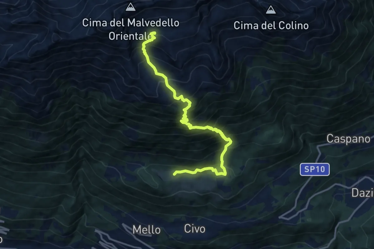
Demanding · Cabin
Poira di Mello – Bivacco Nino Bottani - Siro Cornaggia
12.0 km · ↑ 1332 m · 5 h 44 min · 14 km away
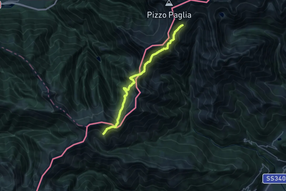
Demanding · Trail
Alta Via del Lario (Capanna Como-Rifugio Giovo)
9.3 km · ↑ 903 m · 4 h 19 min · 15 km away
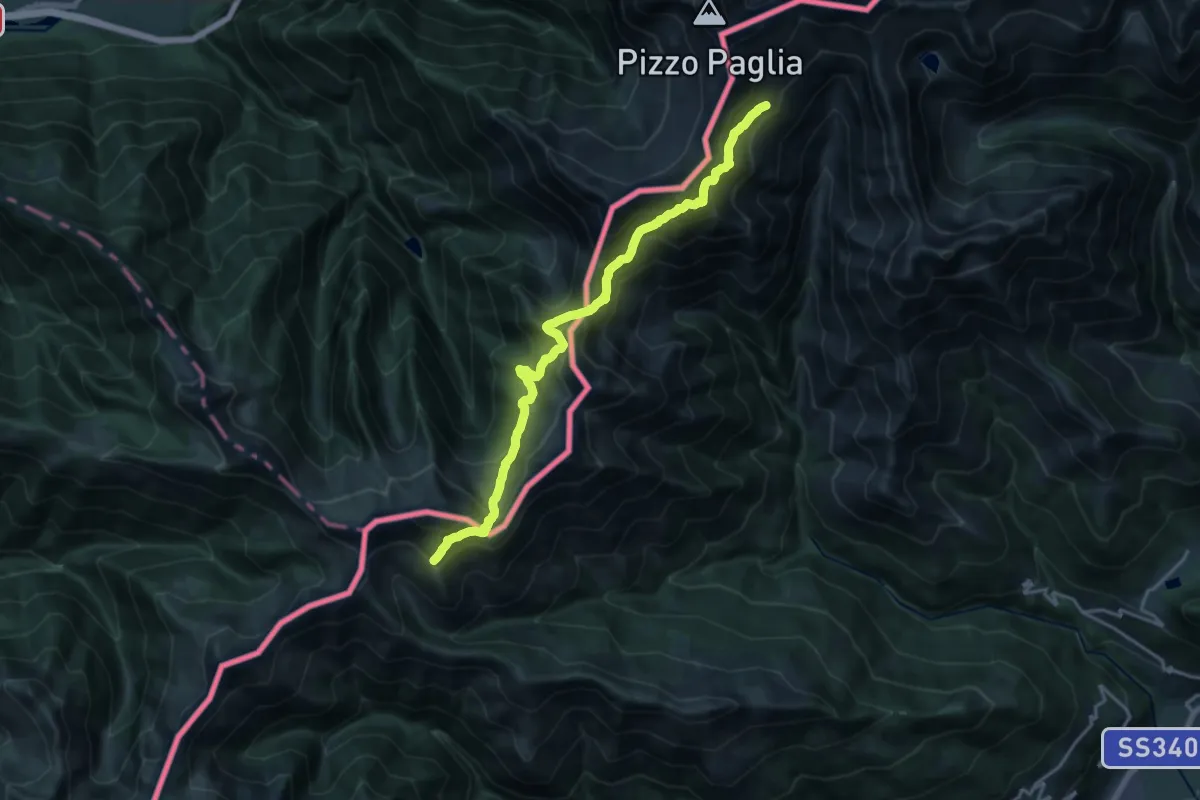
Demanding · Trail
Alta Via del Lario - Tappa 2
9.3 km · ↑ 903 m · 4 h 19 min · 15 km away
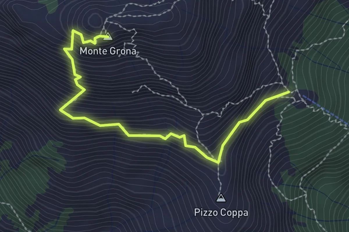
Demanding · Summit
Rifugio Menaggio – Monte Grona
2.7 km · ↑ 488 m · 1 h 42 min · 15 km away
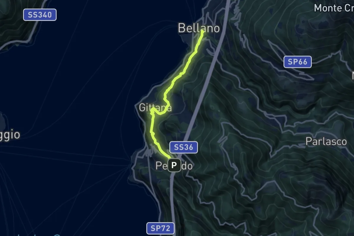
Medium · Trail
Sentiero del Viandante (Perledo - Bellano)
9.1 km · ↑ 516 m · 3 h 15 min · 15 km away
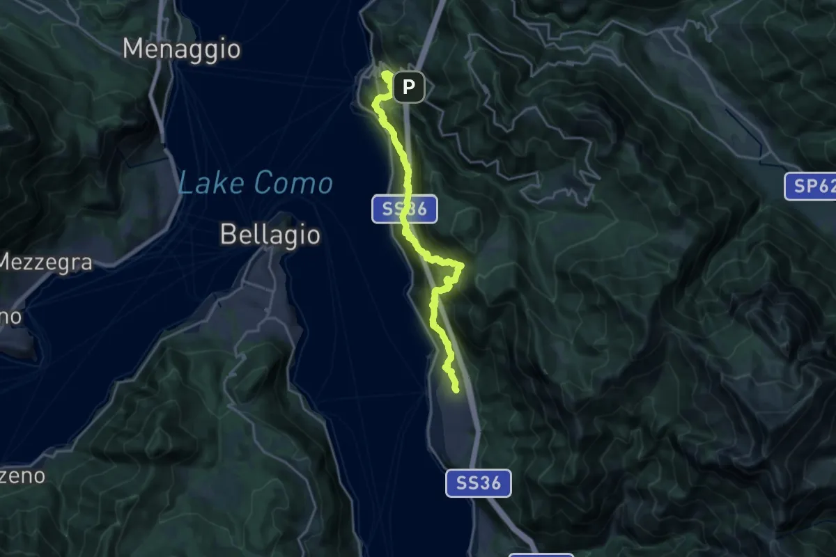
Demanding · Trail
Sentiero del Viandante (Lierna - Perledo) (variante bassa)
10.2 km · ↑ 934 m · 4 h 39 min · 15 km away