Trails near Colle di Val d'Elsa
38 hikes starting within 15 km, nearest first.
Nearest first
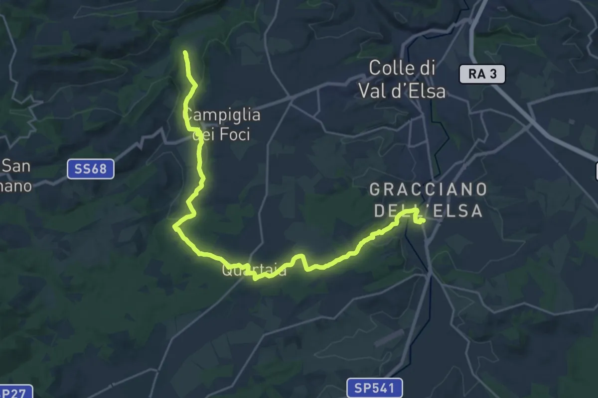
Medium · Pilgrim path
Via Francigena - Variante per Quartaia
11.8 km · ↑ 190 m · 3 h 21 min · 5 km away
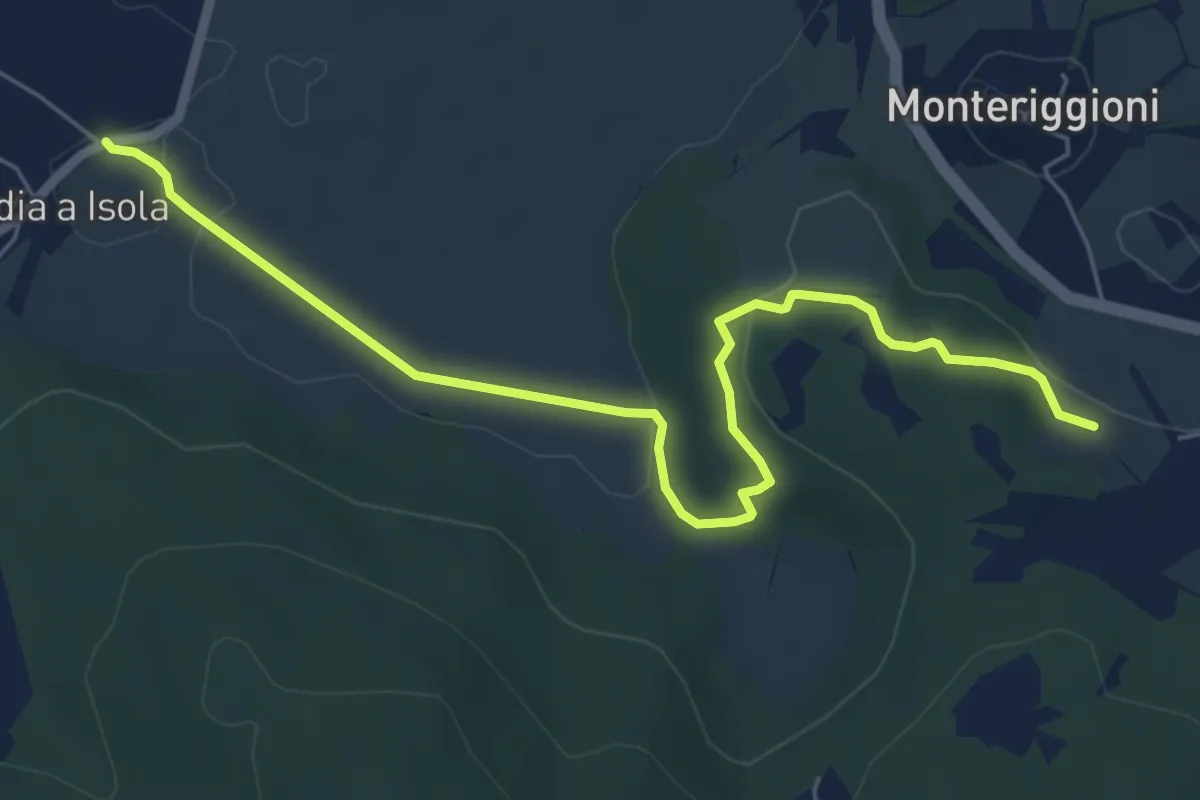
Easy · Trail
Abbadia a Isola – Il Mandorlo
7.1 km · ↑ 102 m · 1 h 54 min · 7 km away
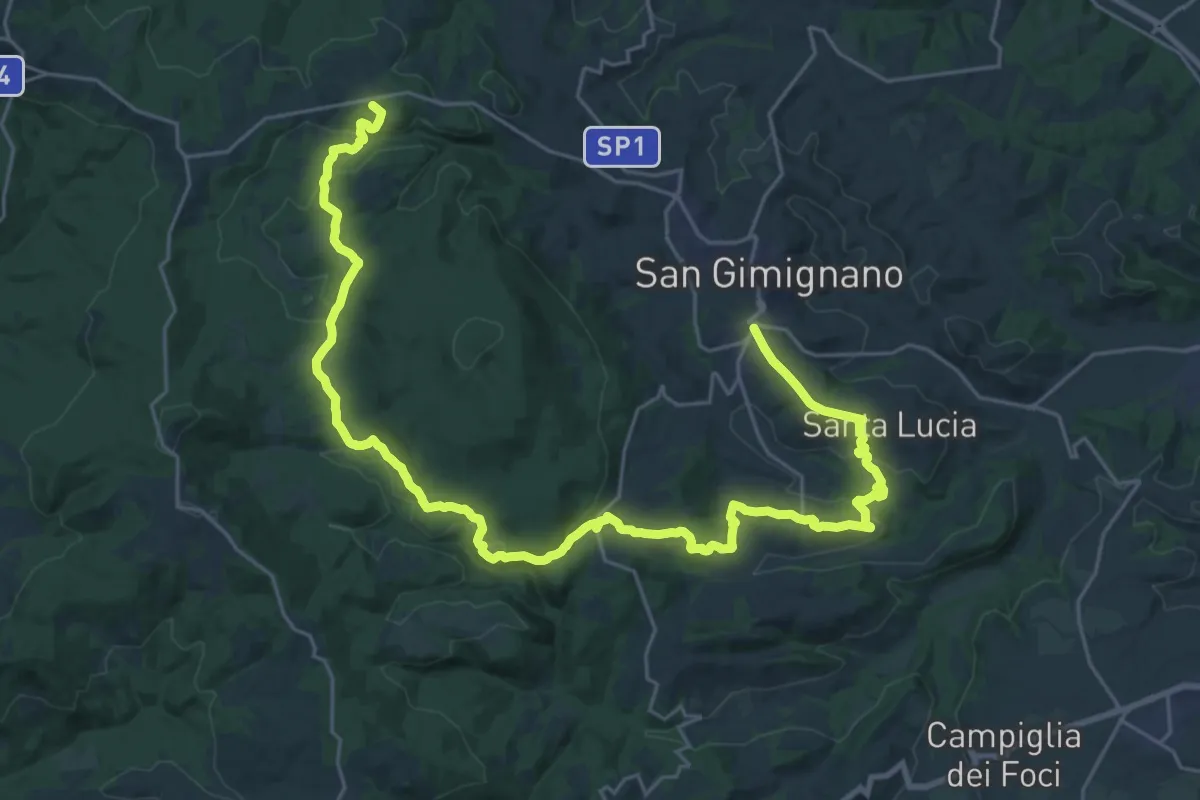
Demanding · Summit
Dolce campagna, antiche mura 19
36.5 km · ↑ 911 m · 10 h 36 min · 8 km away
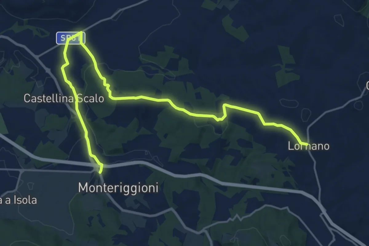
Demanding · Trail
Lornano – Monteriggioni
18.6 km · ↑ 281 m · 5 h · 8 km away
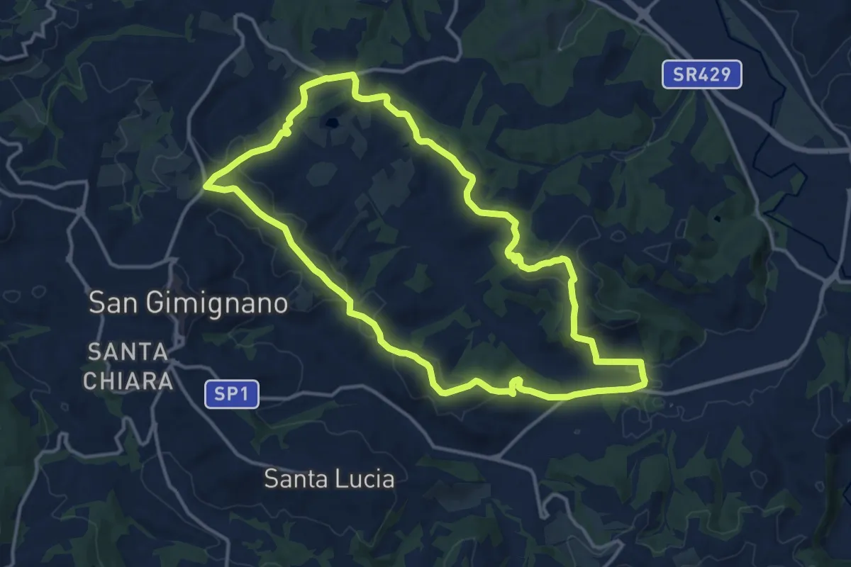
Medium · Summit
Dolce campagna, antiche mura 20
14.2 km · ↑ 378 m · 4 h 22 min · 9 km away
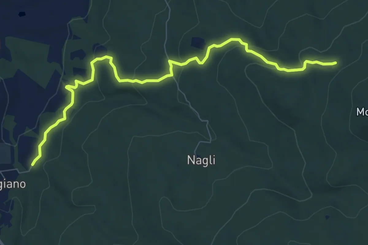
Medium · Trail
Scorgiano – Casa Giubileo
9.2 km · ↑ 332 m · 2 h 53 min · 9 km away
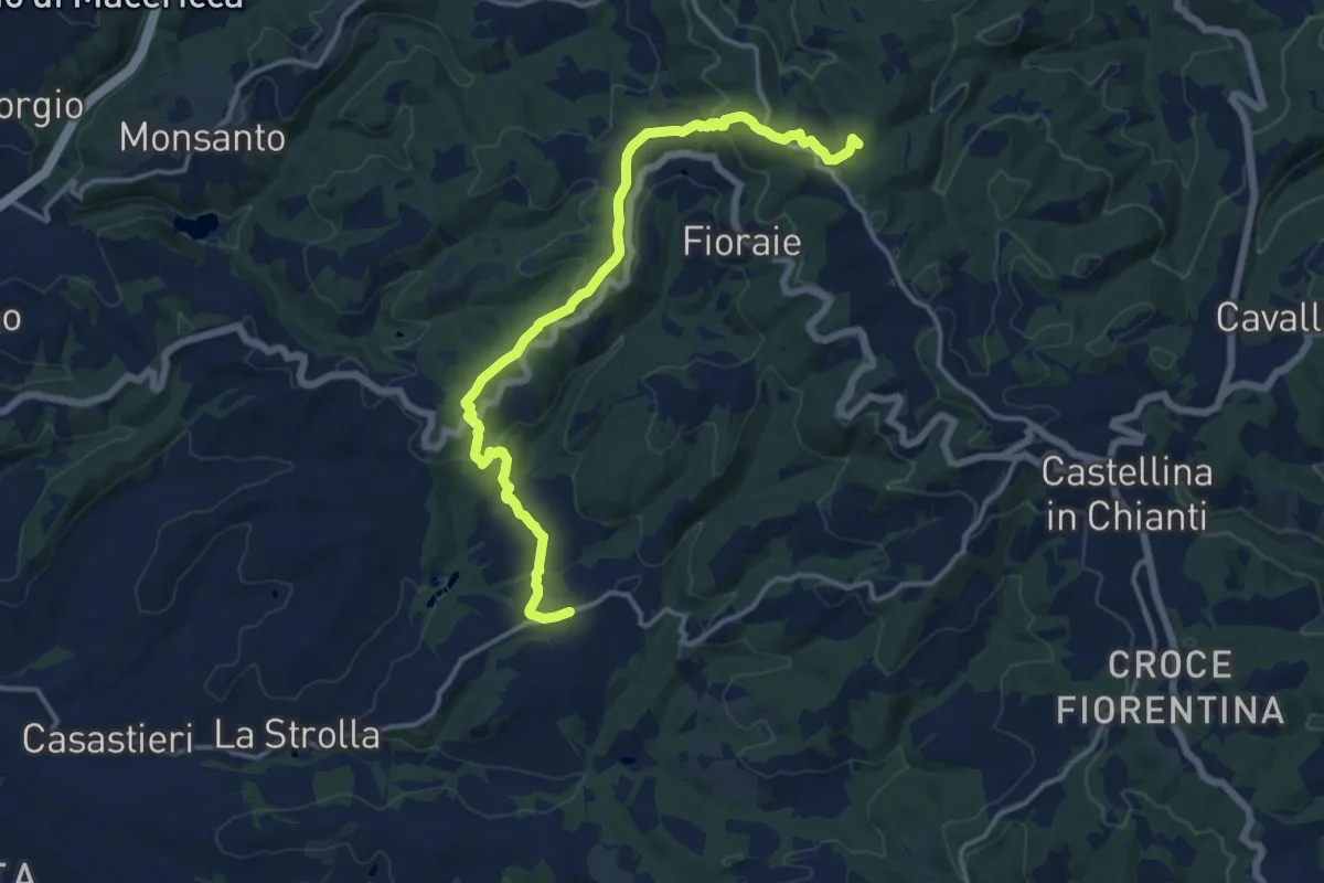
Medium · Summit
Gretole – Innesto sentiero 349
15.6 km · ↑ 491 m · 4 h 45 min · 9 km away
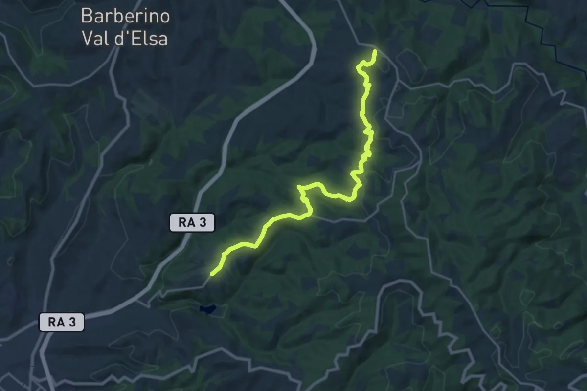
Demanding · Trail
San Donato in Poggio – Monsanto
18.1 km · ↑ 500 m · 5 h 22 min · 10 km away
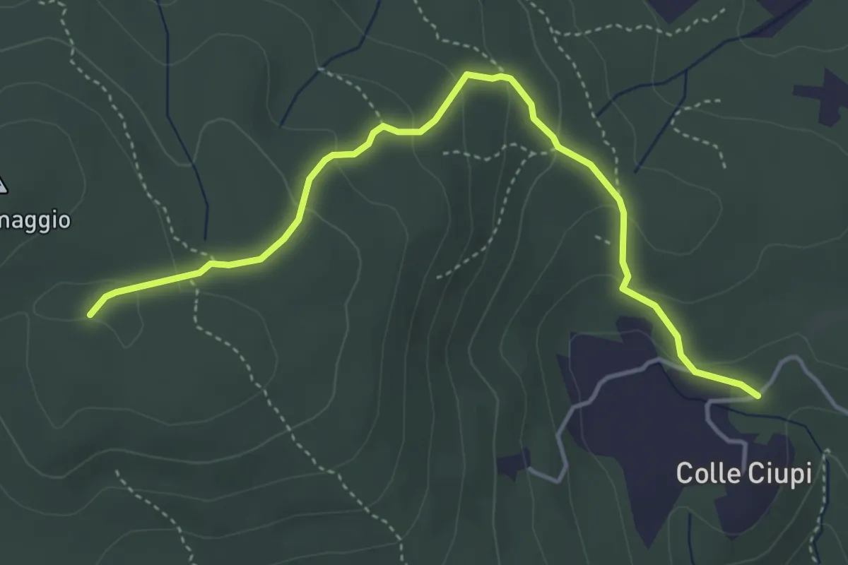
Easy · Trail
Colle Ciupi – Monte Maggio
4.8 km · ↑ 190 m · 1 h 33 min · 10 km away
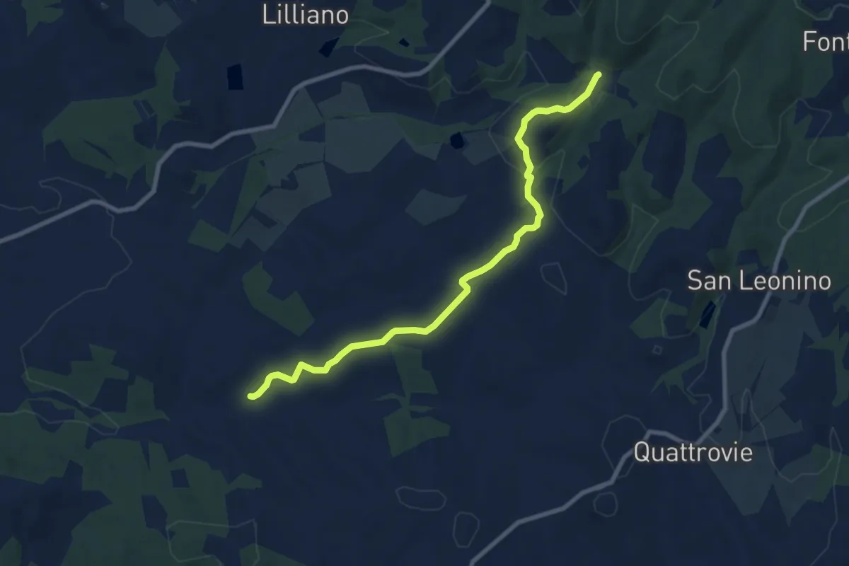
Medium · Trail
Quornia – San Jacopo
8.8 km · ↑ 206 m · 2 h 31 min · 10 km away
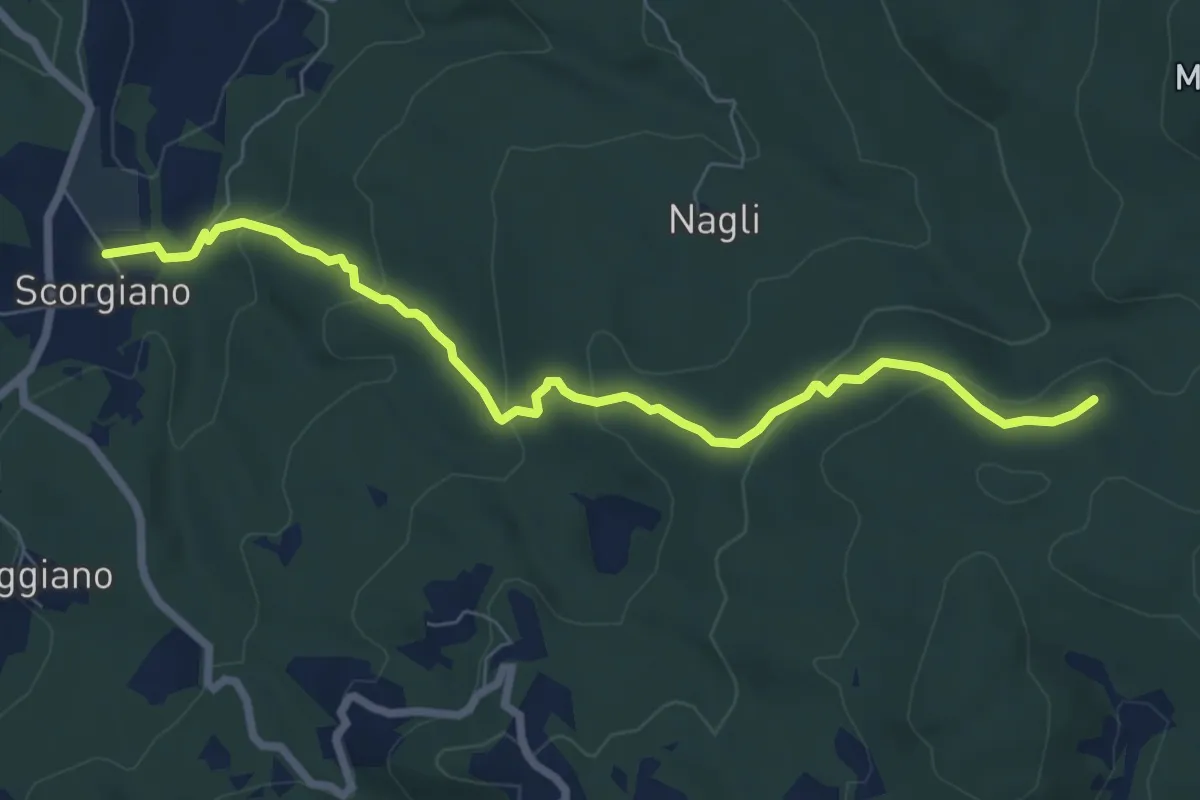
Easy · Trail
Scorgiano – Casa Alteri
7.9 km · ↑ 315 m · 2 h 33 min · 10 km away
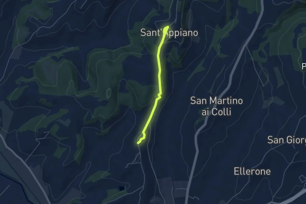
Easy · Trail
Sant'Appiano – Linari
4.3 km · ↑ 144 m · 1 h 19 min · 10 km away
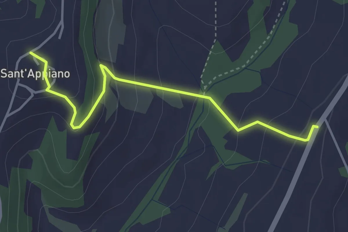
Easy · Trail
Sant'Appiano - Sosta del Papa
3.6 km · ↑ 192 m · 1 h 16 min · 10 km away
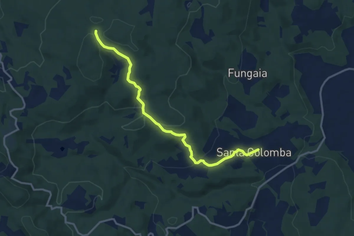
Medium · Trail
San Colomba – Innesto sentiero 100
9.1 km · ↑ 252 m · 2 h 42 min · 10 km away
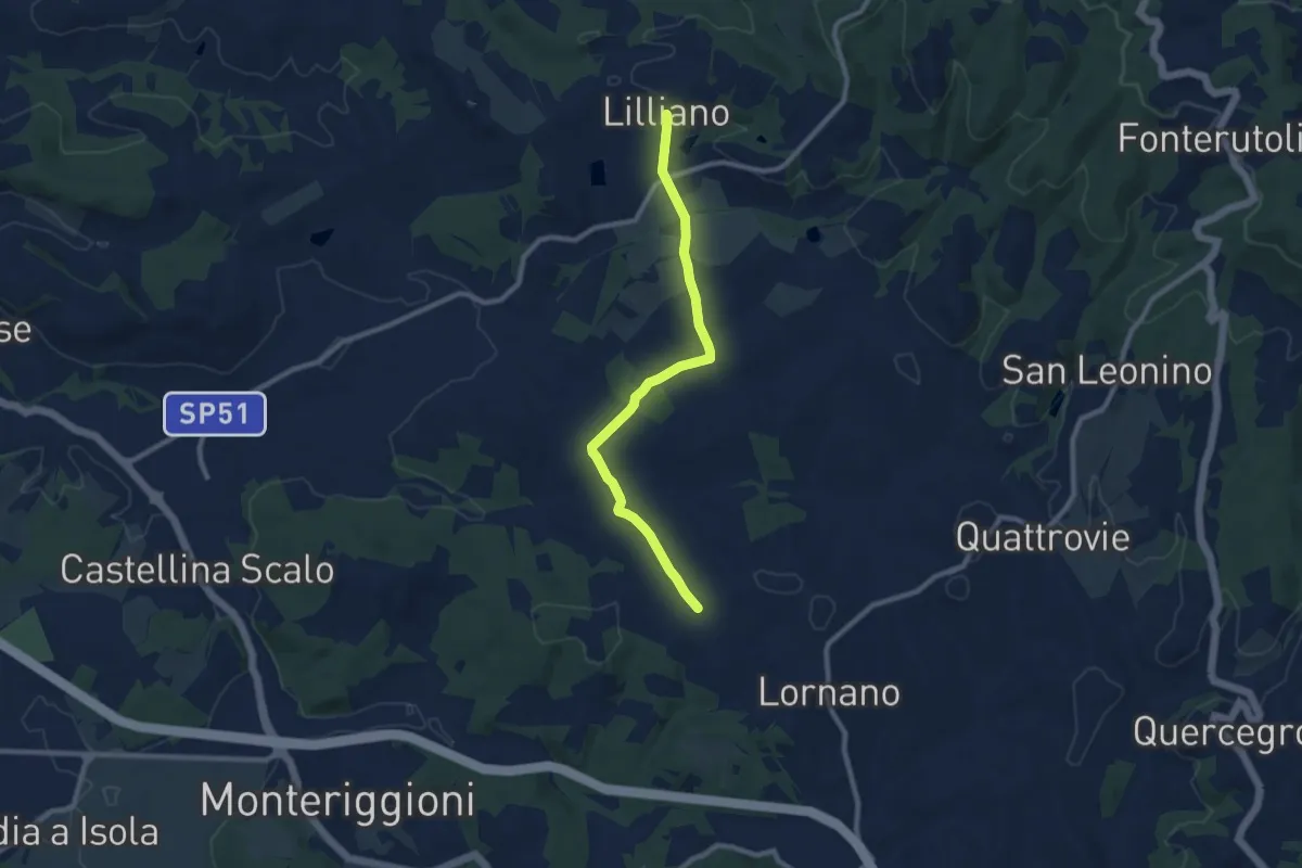
Medium · Trail
Torrente Gena – Lilliano
9.3 km · ↑ 210 m · 2 h 38 min · 10 km away
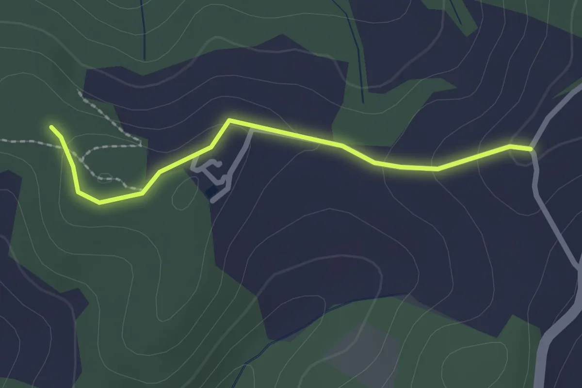
Easy · Trail
Serelle – Sante Dame
2.0 km · ↑ 67 m · 37 min · 11 km away
Demanding · Trail
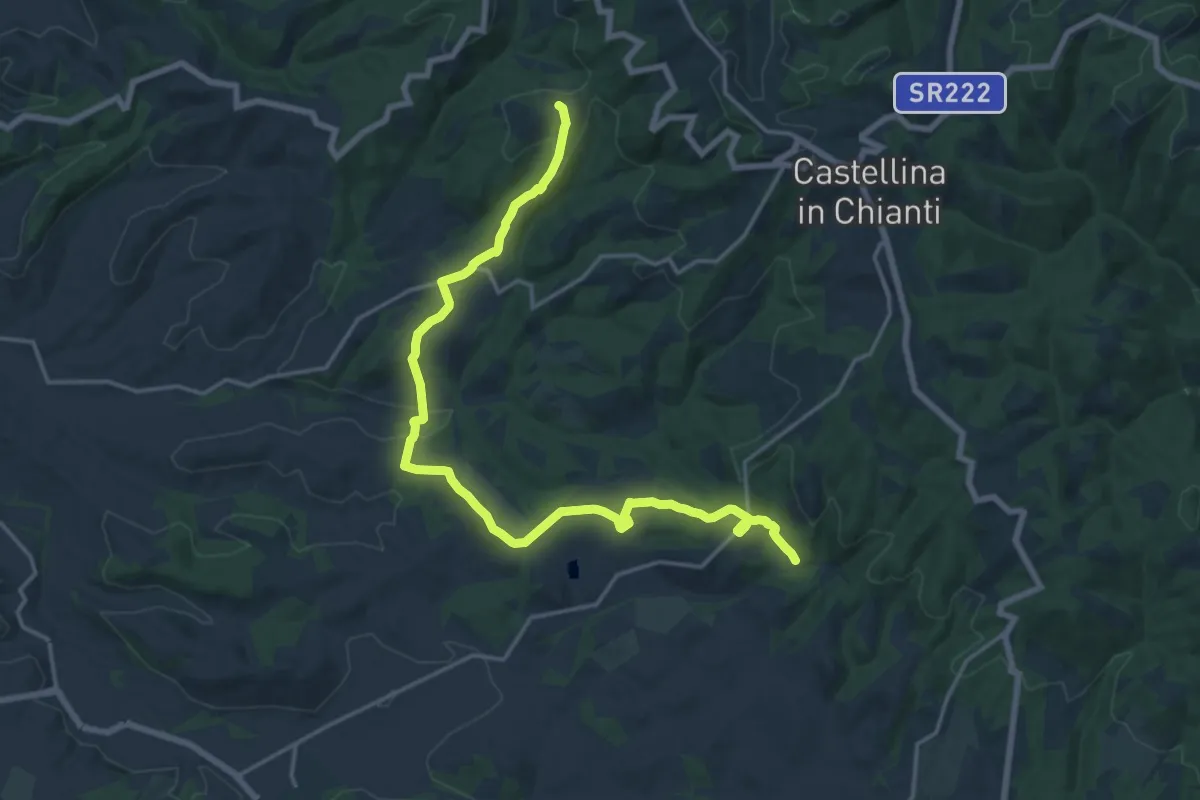
Sentiero 350 – Cispiano
21.1 km · ↑ 543 m · 6 h 10 min · 11 km away
Medium · Trail
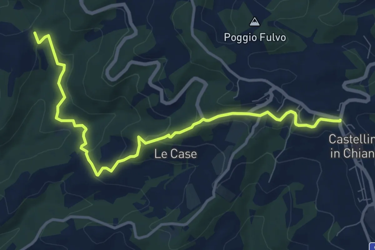
Cispiano – Castellina in Chianti
9.7 km · ↑ 332 m · 3 h 1 min · 12 km away
Medium · Trail
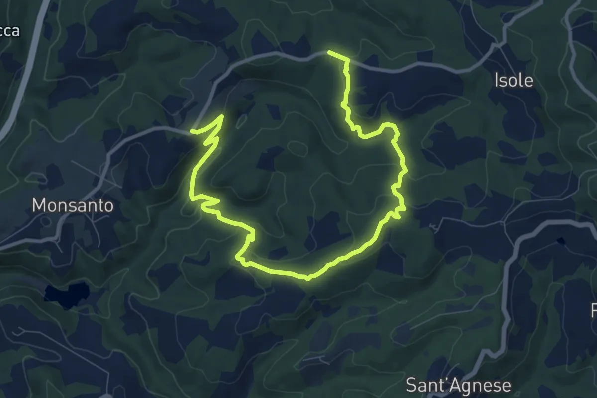
Capanna dei Cacciatori Serelle Strada della Paneretta
12.2 km · ↑ 447 m · 3 h 51 min · 12 km away
Easy · Trail
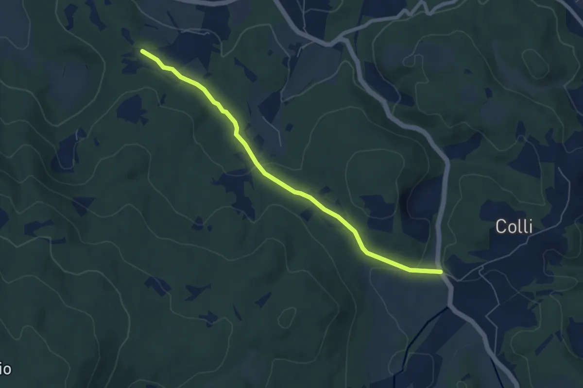
SS 2 Cassia (bivio Bracciano) – Il Mandorlo
6.4 km · ↑ 117 m · 1 h 46 min · 12 km away
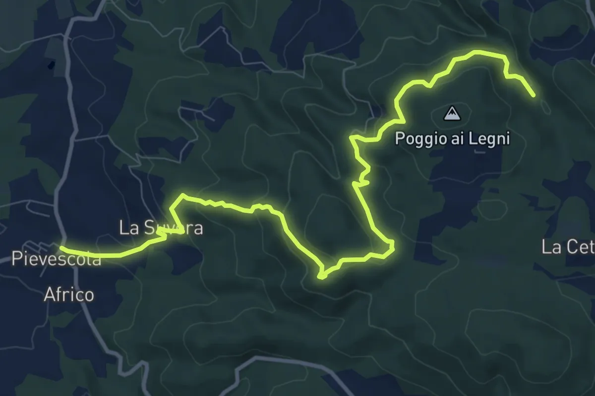
Medium · Trail
Pievescola – La Cetina (pressi)
12.2 km · ↑ 565 m · 4 h 7 min · 12 km away
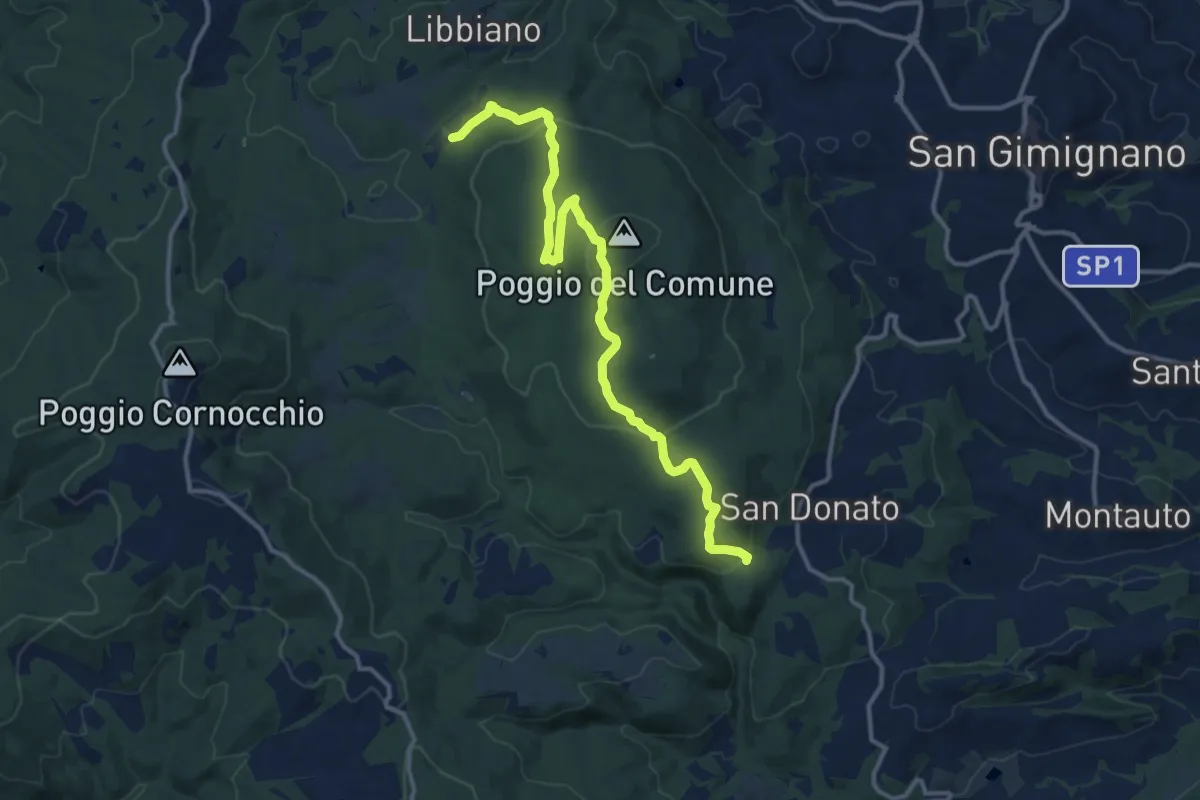
Medium · Trail
Sentieri della Memoria
14.5 km · ↑ 462 m · 4 h 26 min · 13 km away
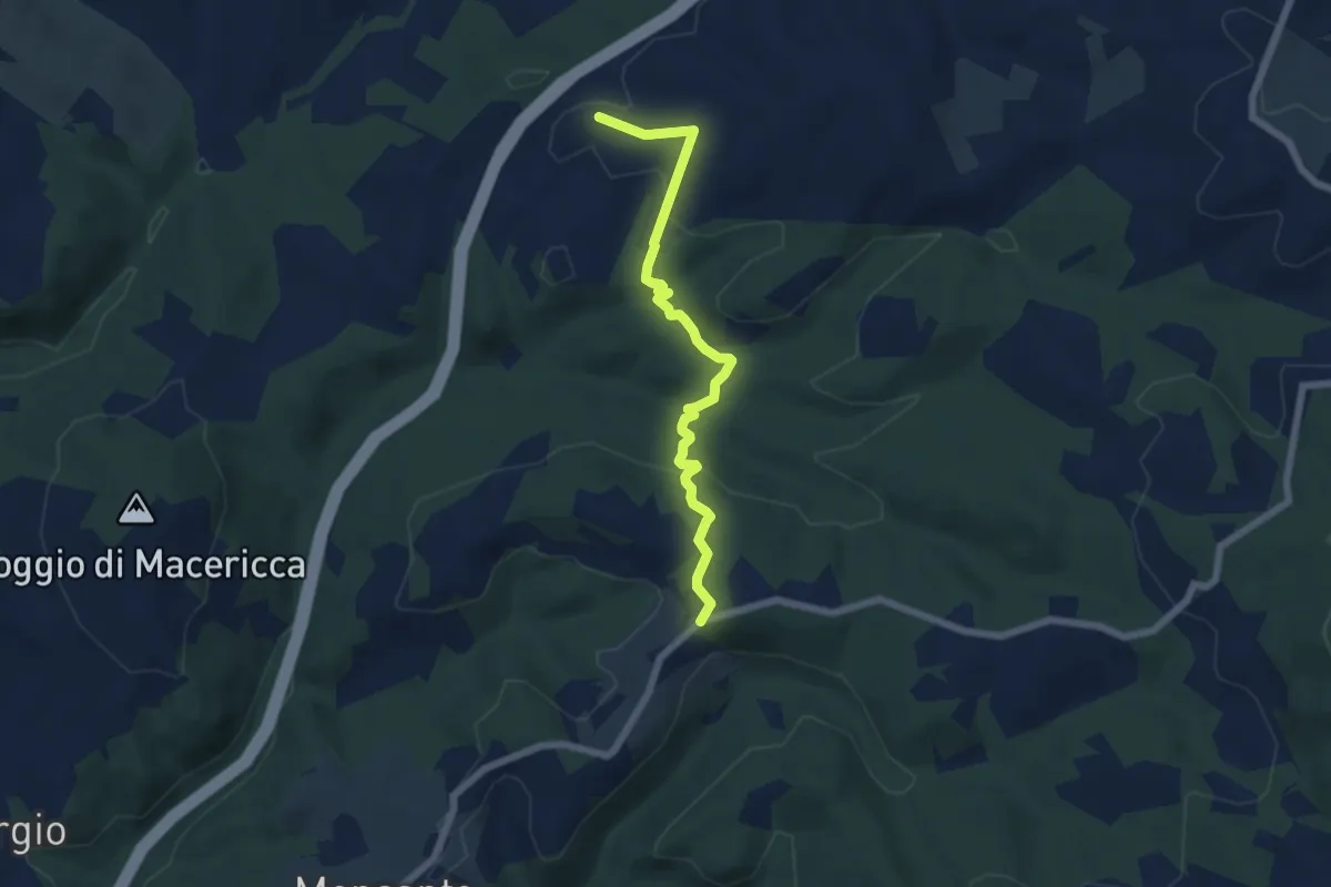
Easy · Trail
Prumiano - bivio strada Paneretta (Le Cantine)
6.4 km · ↑ 172 m · 1 h 53 min · 13 km away
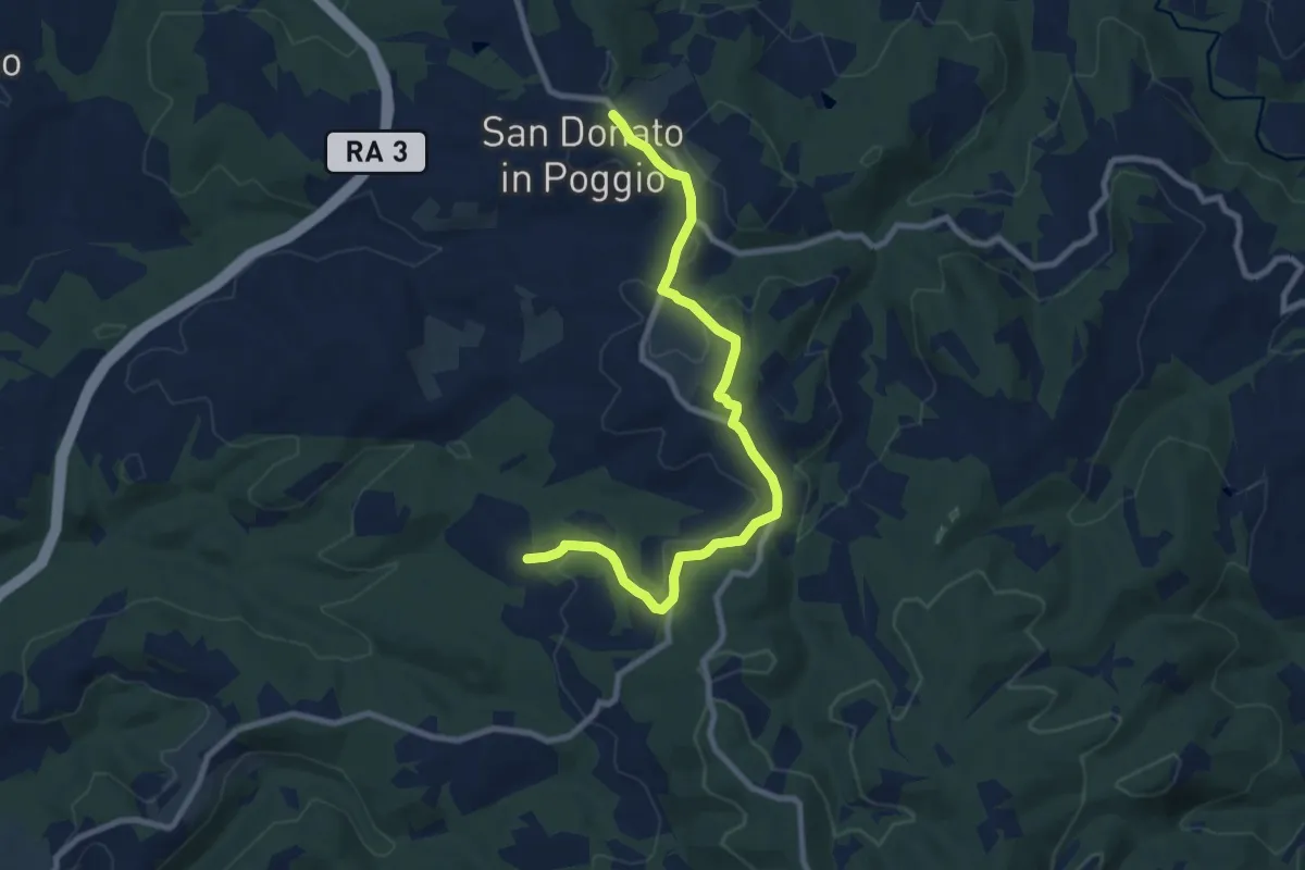
Medium · Trail
San Donato – Olena
9.7 km · ↑ 186 m · 2 h 42 min · 13 km away
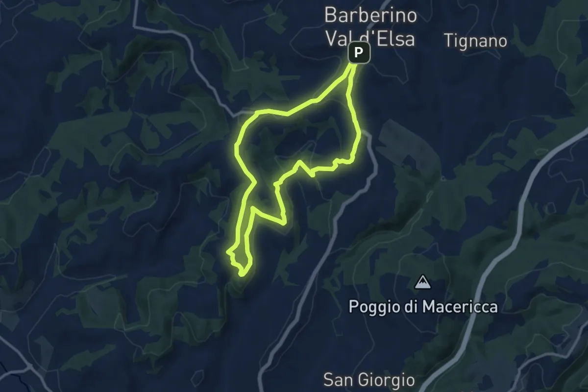
Medium · Summit
Barberino VE – Sant'Appiano
9.5 km · ↑ 249 m · 2 h 55 min · 13 km away
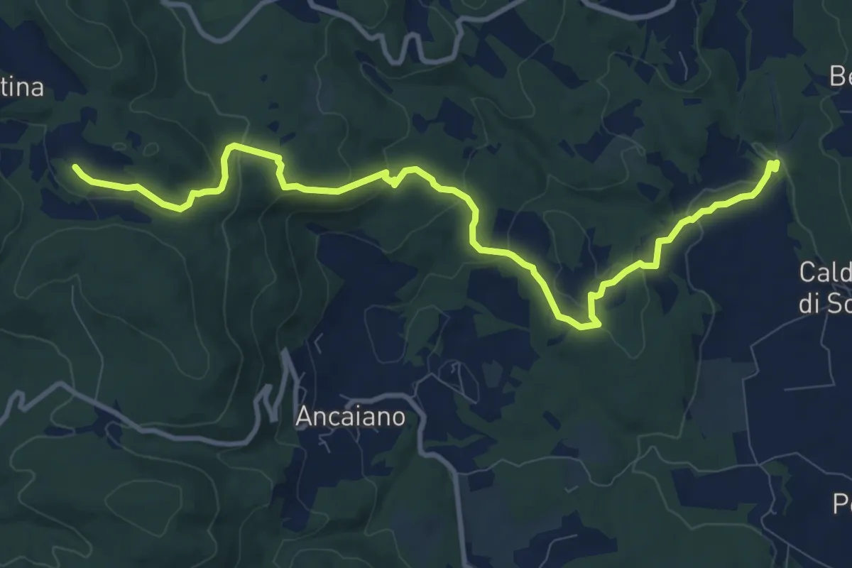
Medium · Trail
Podere Ripostena – Podere Morra
12.0 km · ↑ 365 m · 3 h 38 min · 14 km away
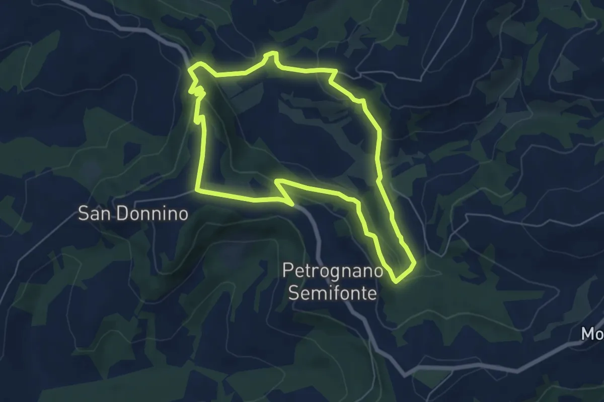
Easy · Trail
Anello di Santa Caterina
5.9 km · ↑ 198 m · 1 h 55 min · 14 km away
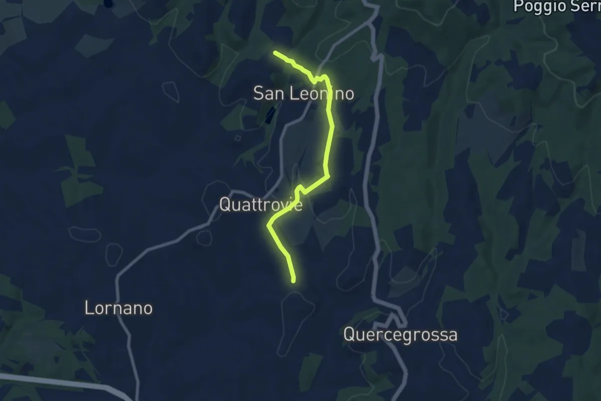
Easy · Trail
Campalli – Magione
7.3 km · ↑ 185 m · 2 h 7 min · 14 km away
Medium · Trail
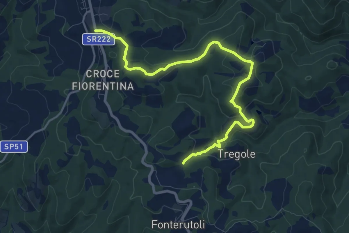
Castellina – Sentiero 354
11.9 km · ↑ 287 m · 3 h 26 min · 14 km away
Medium · Trail
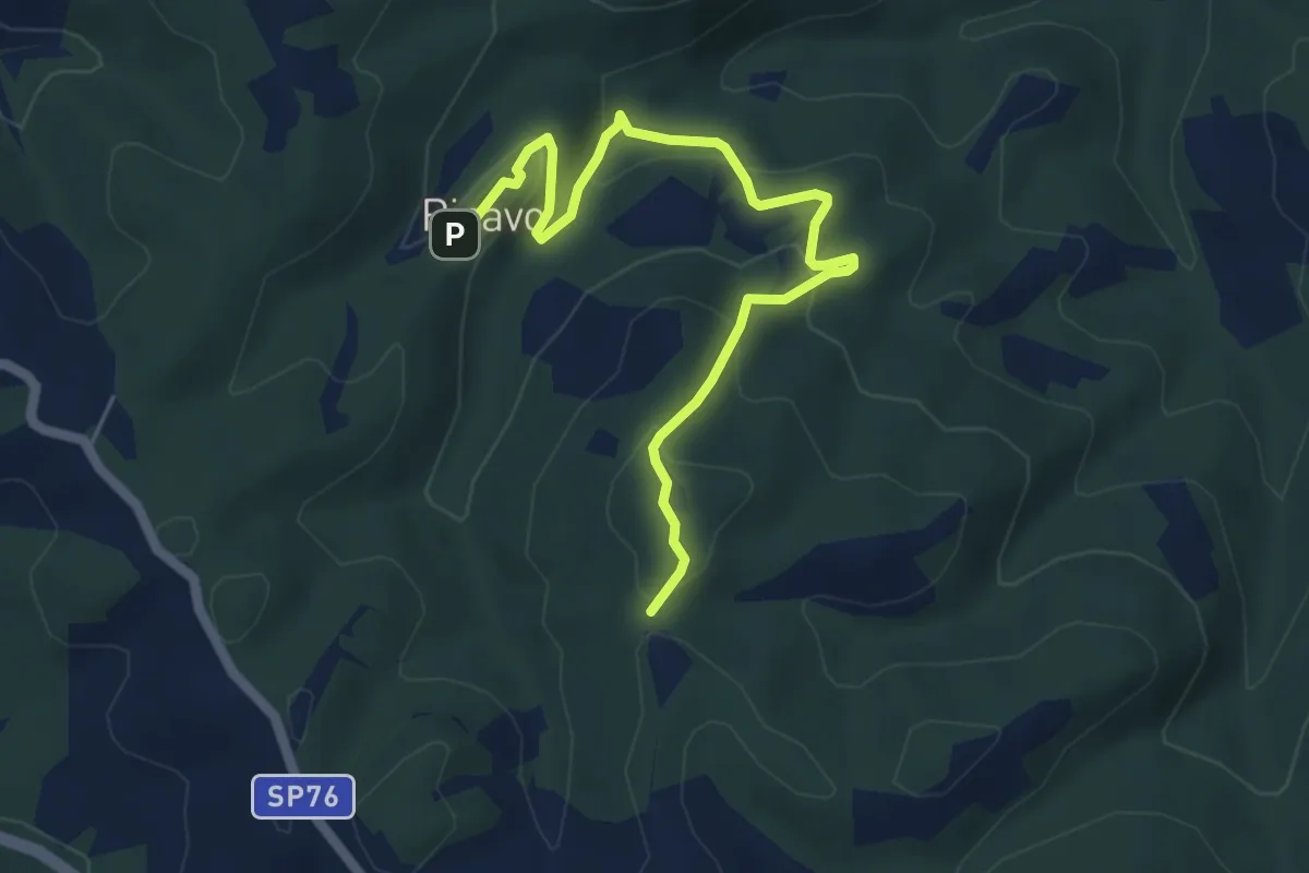
Ricavo – Via Romea Sanese
6.2 km · ↑ 283 m · 2 h 5 min · 14 km away
Medium · Trail
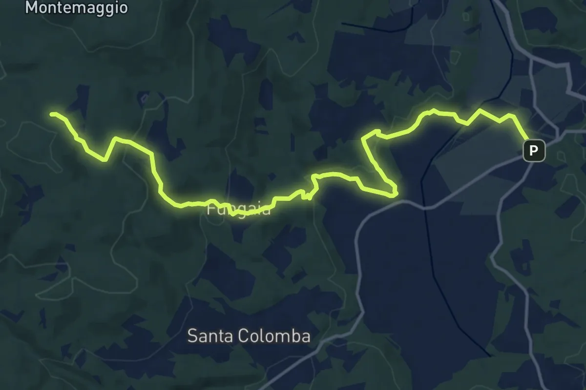
Pian del Lago – Casa Alteri (pressi)
16.2 km · ↑ 450 m · 4 h 48 min · 14 km away
Medium · Trail
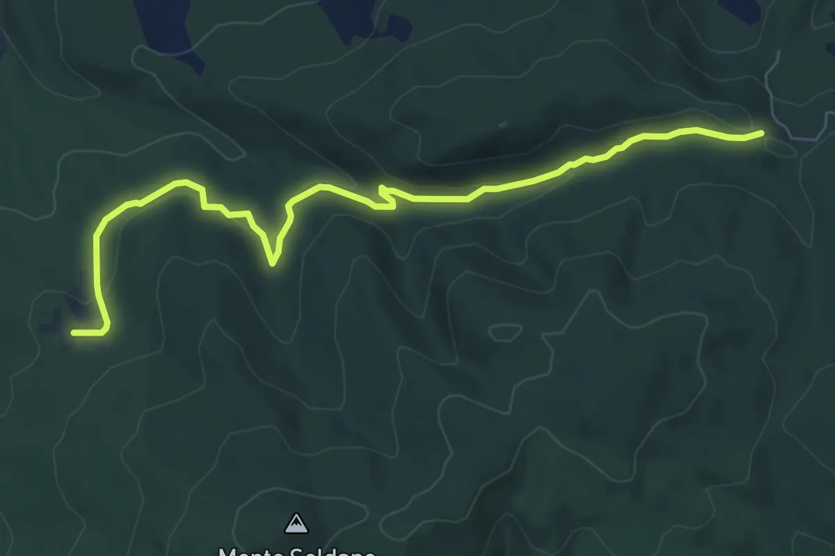
Percorso 3: Pilelle
8.2 km · ↑ 214 m · 2 h 24 min · 14 km away
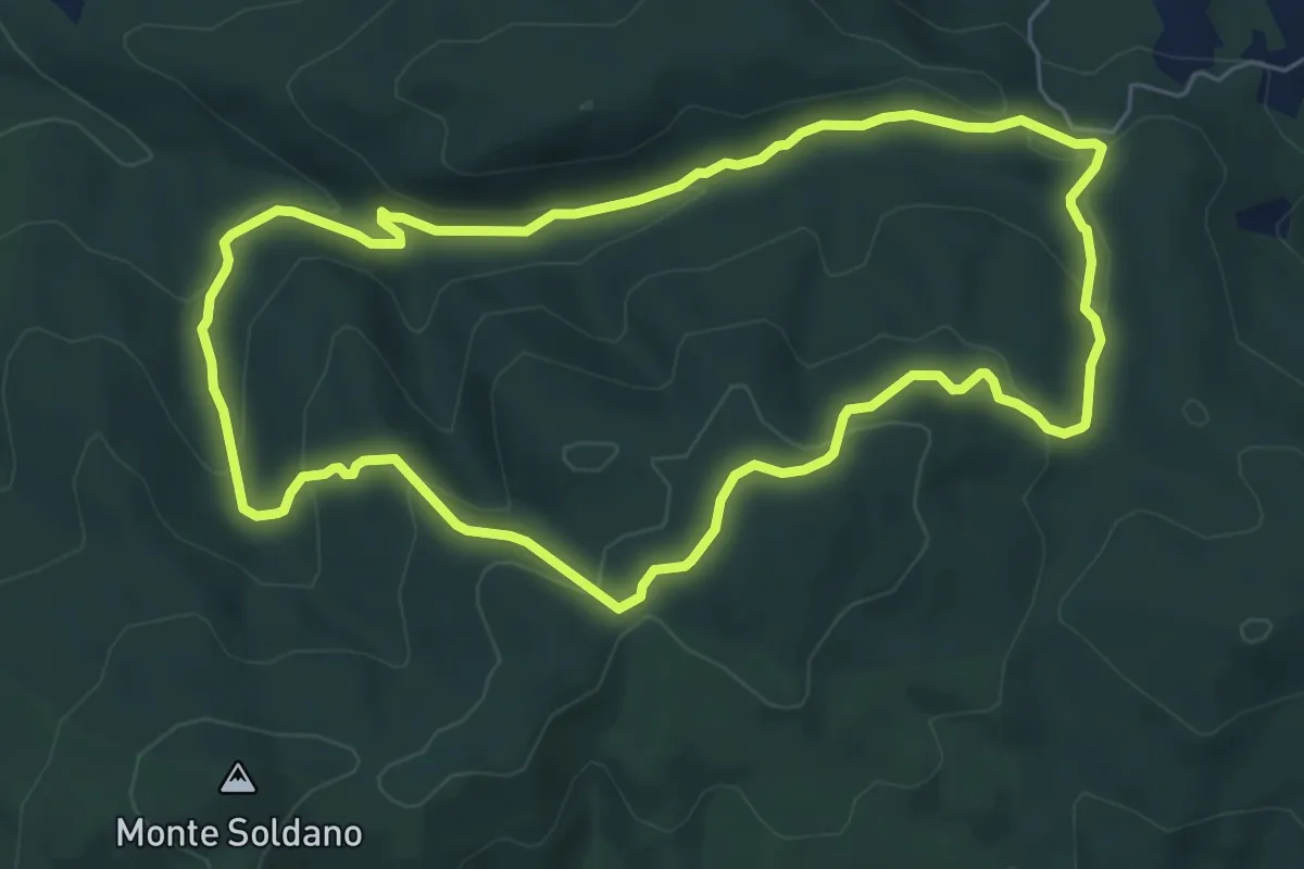
Easy · Summit
La Foresta di Tatti
6.6 km · ↑ 225 m · 2 h 9 min · 14 km away
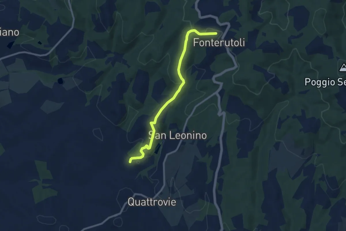
Easy · Trail
Fonterutoli – SC delle Masse
7.5 km · ↑ 251 m · 2 h 19 min · 15 km away
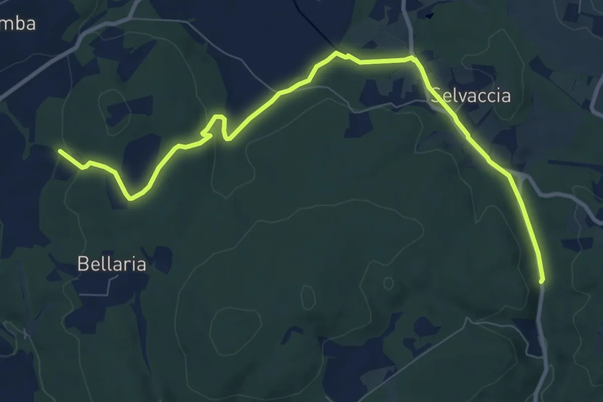
Demanding · Trail
Pastine di Sotto – Galleria del Granduca
10.2 km · ↑ 181 m · 2 h 48 min · 15 km away
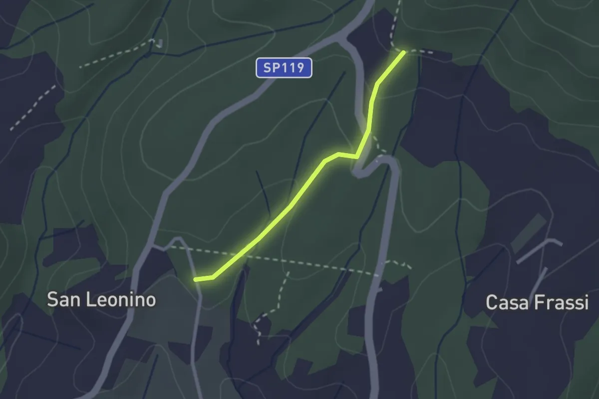
Easy · Trail
San Leonino – Via Romea Sanese
2.0 km · ↑ 78 m · 39 min · 15 km away
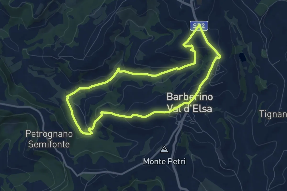
Easy · Trail
Sentiero delle Briglie
7.9 km · ↑ 241 m · 2 h 30 min · 15 km away
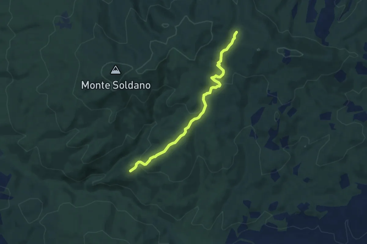
Easy · Trail
Percorso 10: "Torraccia"
7.8 km · ↑ 200 m · 2 h 17 min · 15 km away