Trails near Collesalvetti
56 hikes starting within 15 km, nearest first.
Nearest first, page 1 of 2
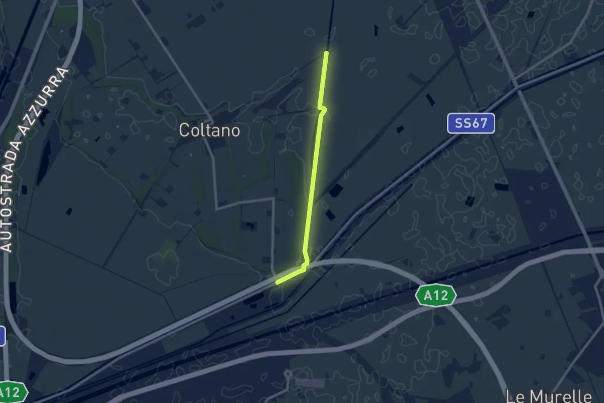
Easy · Trail
Deviazione 021 – Ponte Biscottino
7.4 km · ↑ 0 m · 1 h 45 min · 7 km away
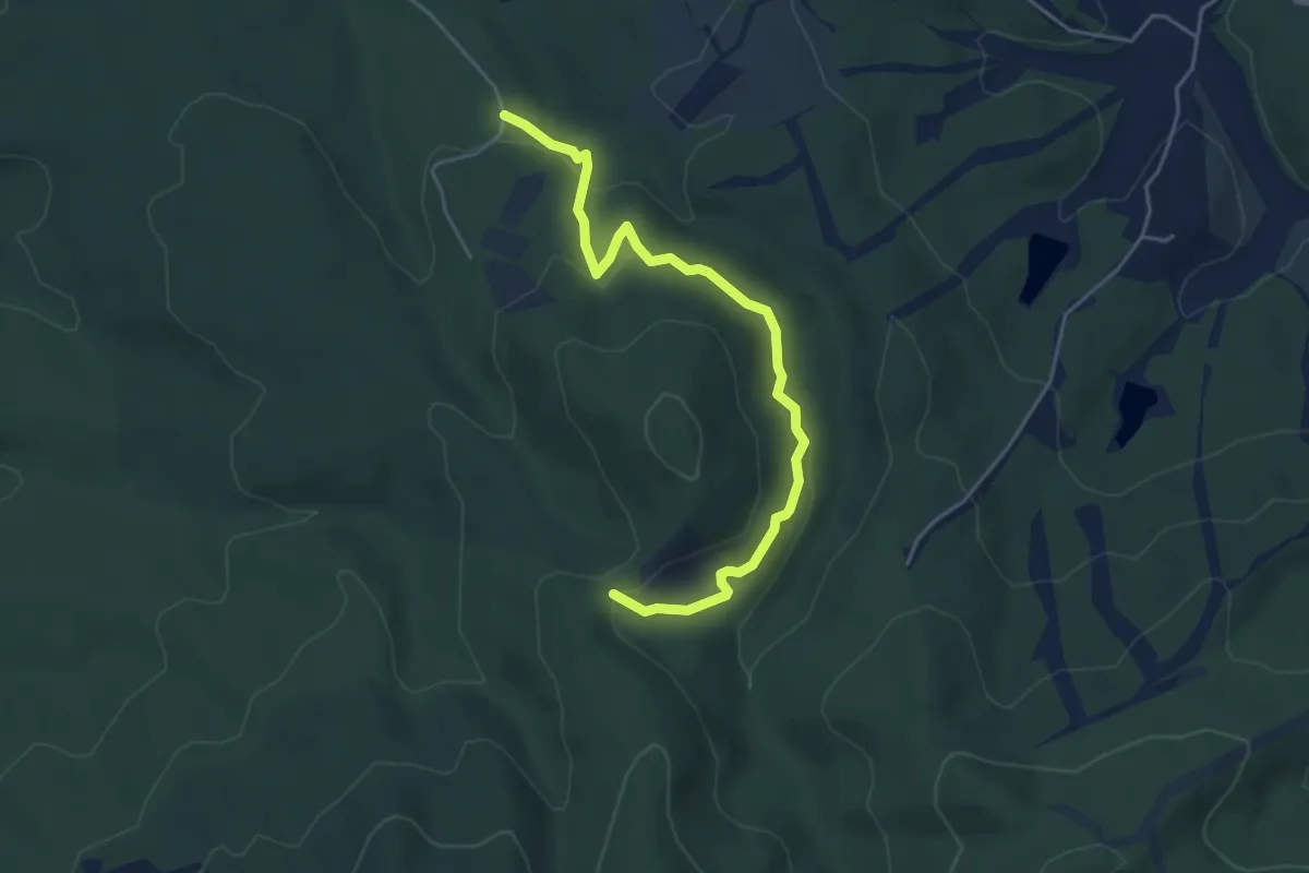
Easy · Trail
Cascatella Infernaccio – Crocione
5.0 km · ↑ 246 m · 1 h 43 min · 7 km away
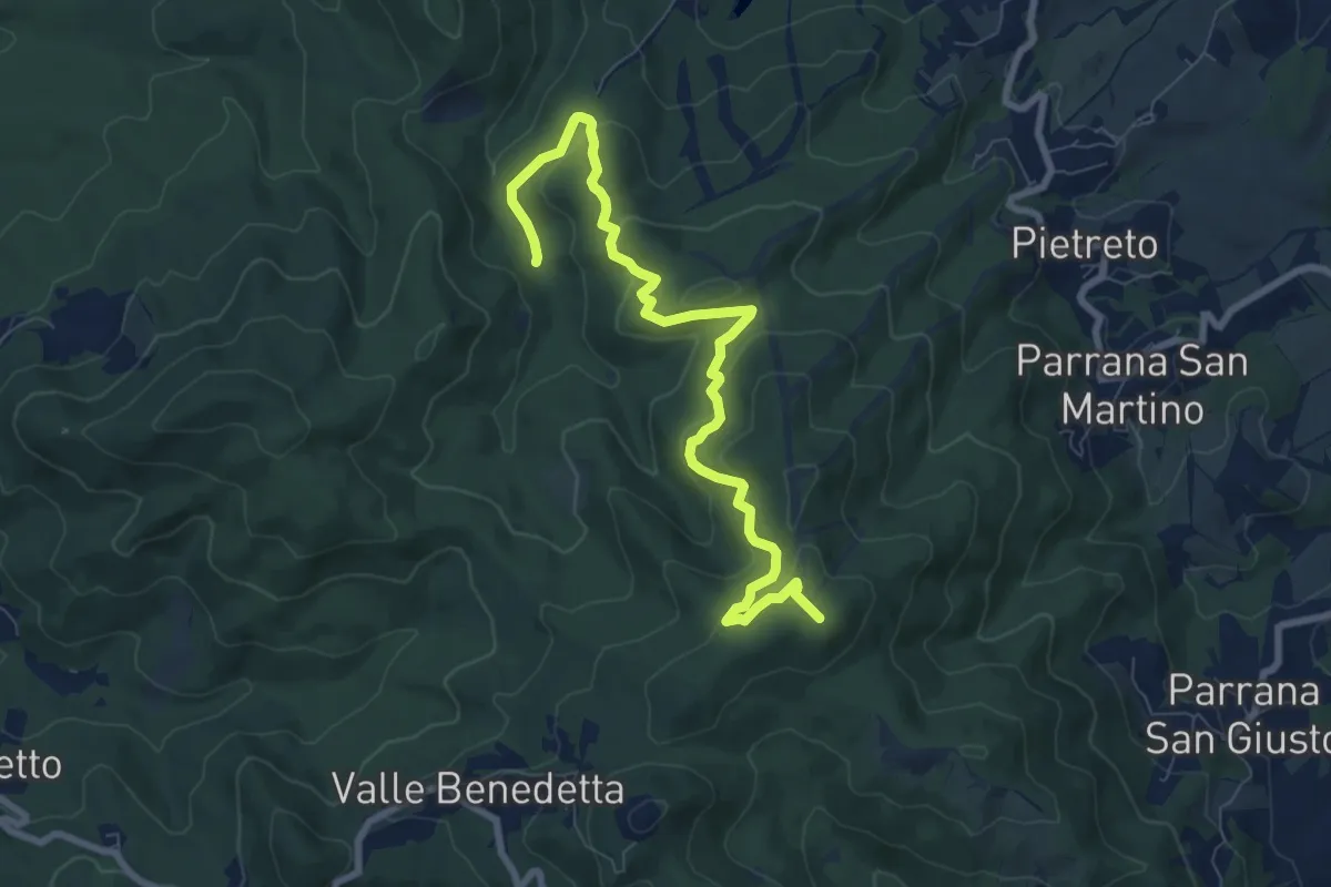
Medium · Summit
Guado Ugione (sent. 100) – Poggio ai 3 Mulini
9.3 km · ↑ 415 m · 3 h 6 min · 7 km away
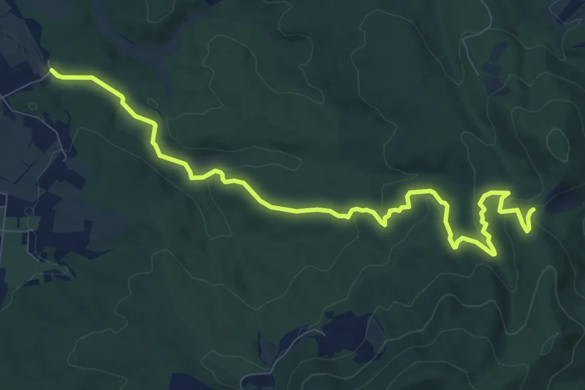
Medium · Trail
Bagnetti – Il Crocione
11.1 km · ↑ 277 m · 3 h 13 min · 7 km away
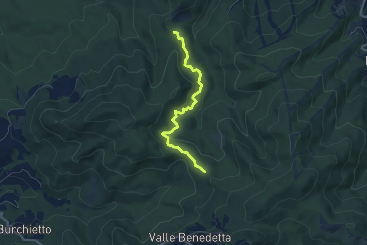
Easy · Trail
Crocione – Podere Santa Maria
5.8 km · ↑ 224 m · 1 h 51 min · 7 km away
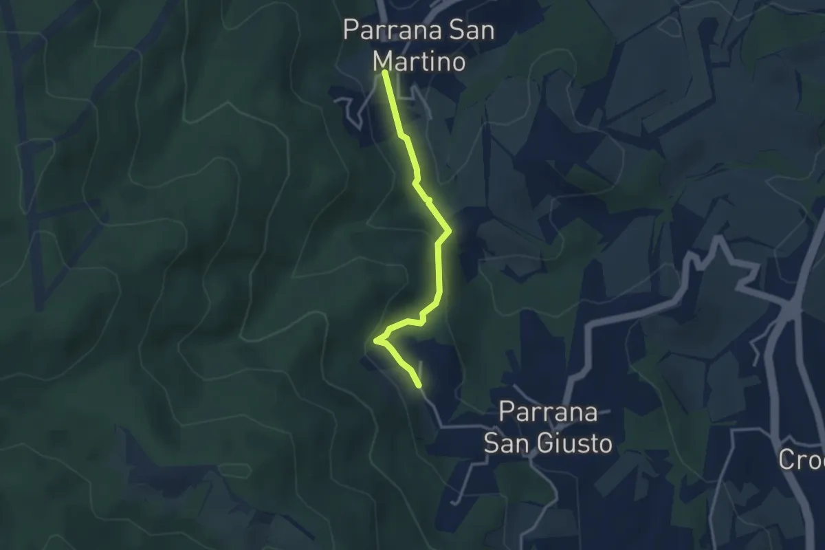
Easy · Trail
Parrana San Martino – Parrana San Giusto
2.9 km · ↑ 122 m · 56 min · 8 km away
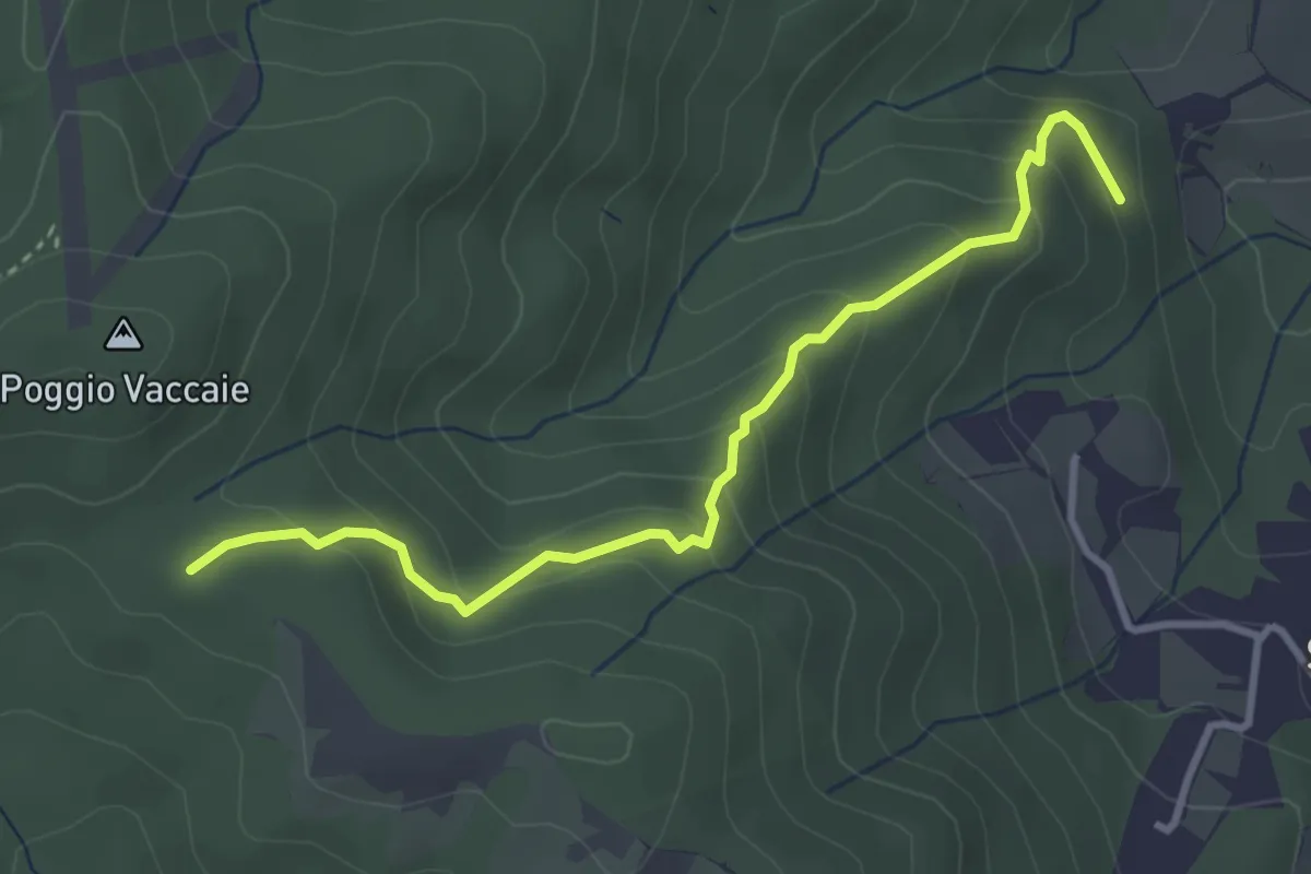
Easy · Trail
Ponti Grandi (sent. 115) – Calvario
3.7 km · ↑ 252 m · 1 h 25 min · 8 km away
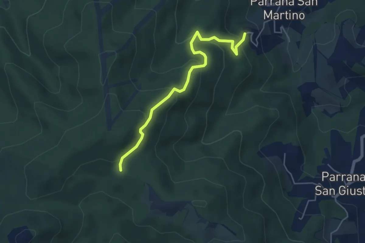
Easy · Trail
Parrana San Martino – Calvario (sent. 121)
4.3 km · ↑ 287 m · 1 h 38 min · 8 km away
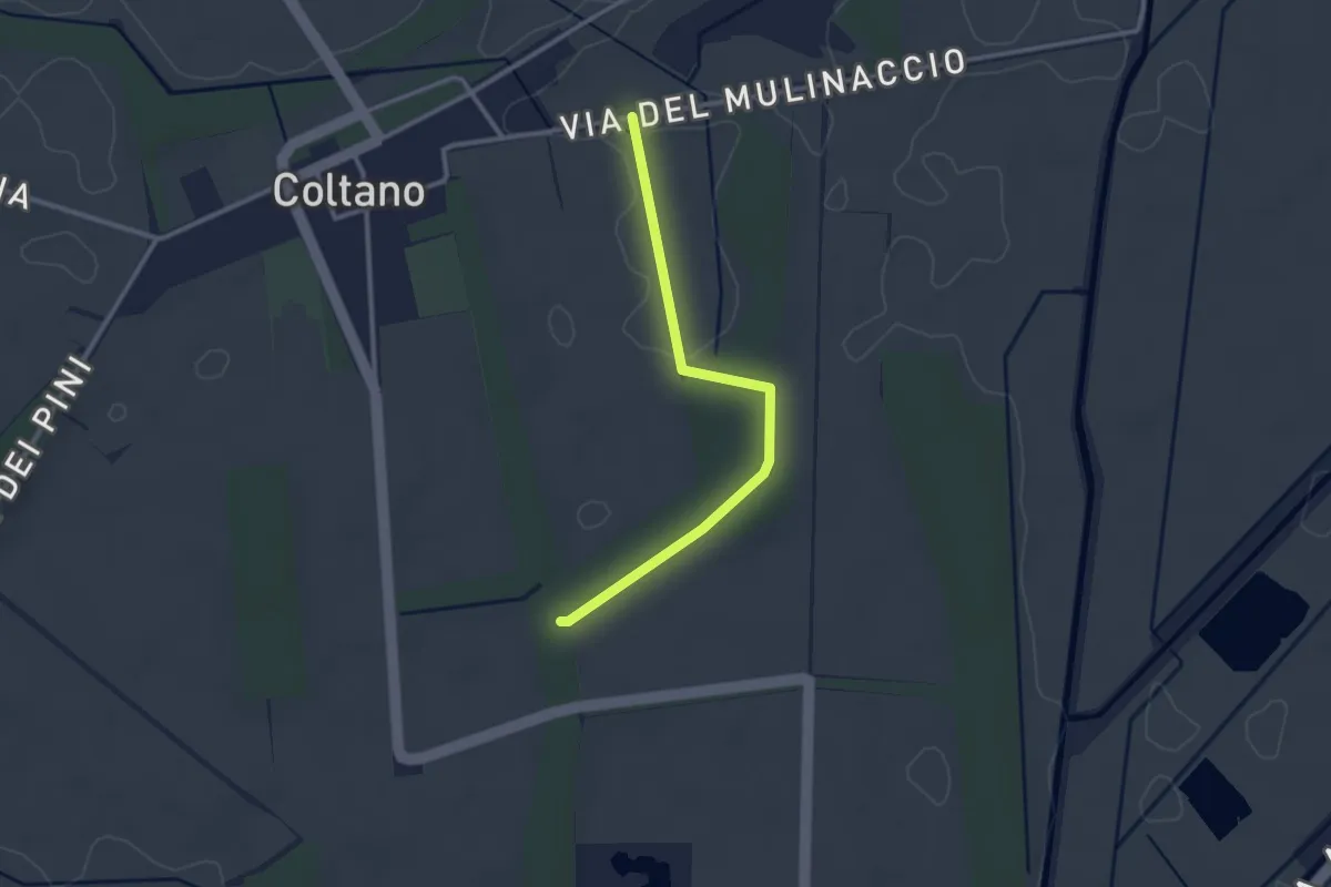
Easy · Trail
Raccordo via Molinaccio – Raccordo 025
2.8 km · ↑ 9 m · 41 min · 8 km away
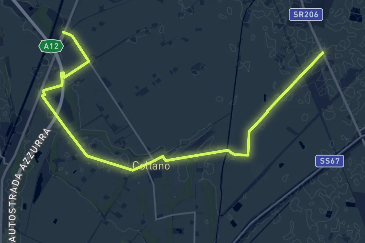
Demanding · Trail
Sentiero Mediceo
21.0 km · ↑ 34 m · 5 h 1 min · 8 km away
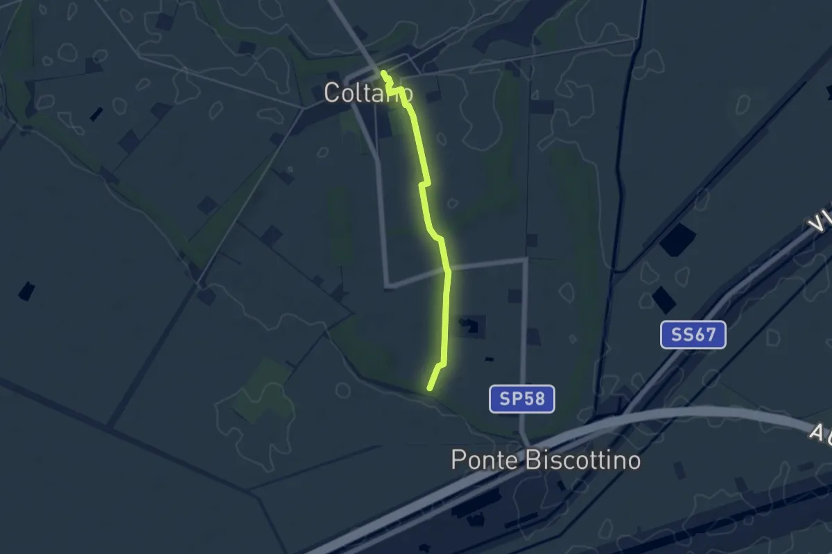
Easy · Trail
Villa Medicea – Fasce Boscate
4.3 km · ↑ 9 m · 1 h 2 min · 9 km away
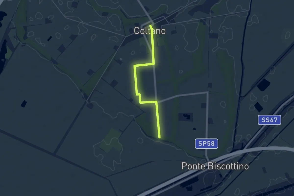
Easy · Trail
Sentiero della Sementina
4.8 km · ↑ 4 m · 1 h 9 min · 9 km away
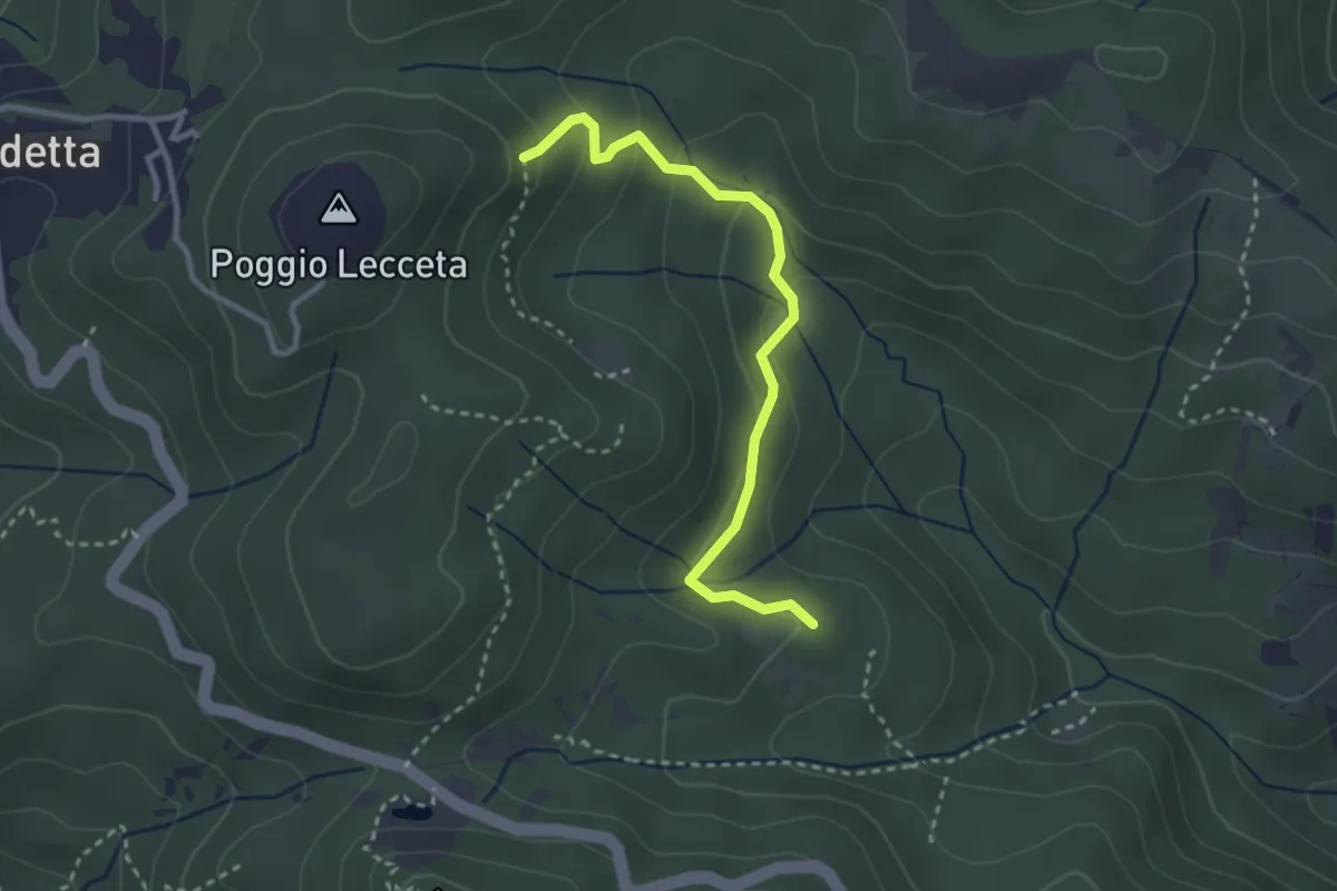
Easy · Trail
Le Vallore
3.1 km · ↑ 165 m · 1 h 5 min · 9 km away
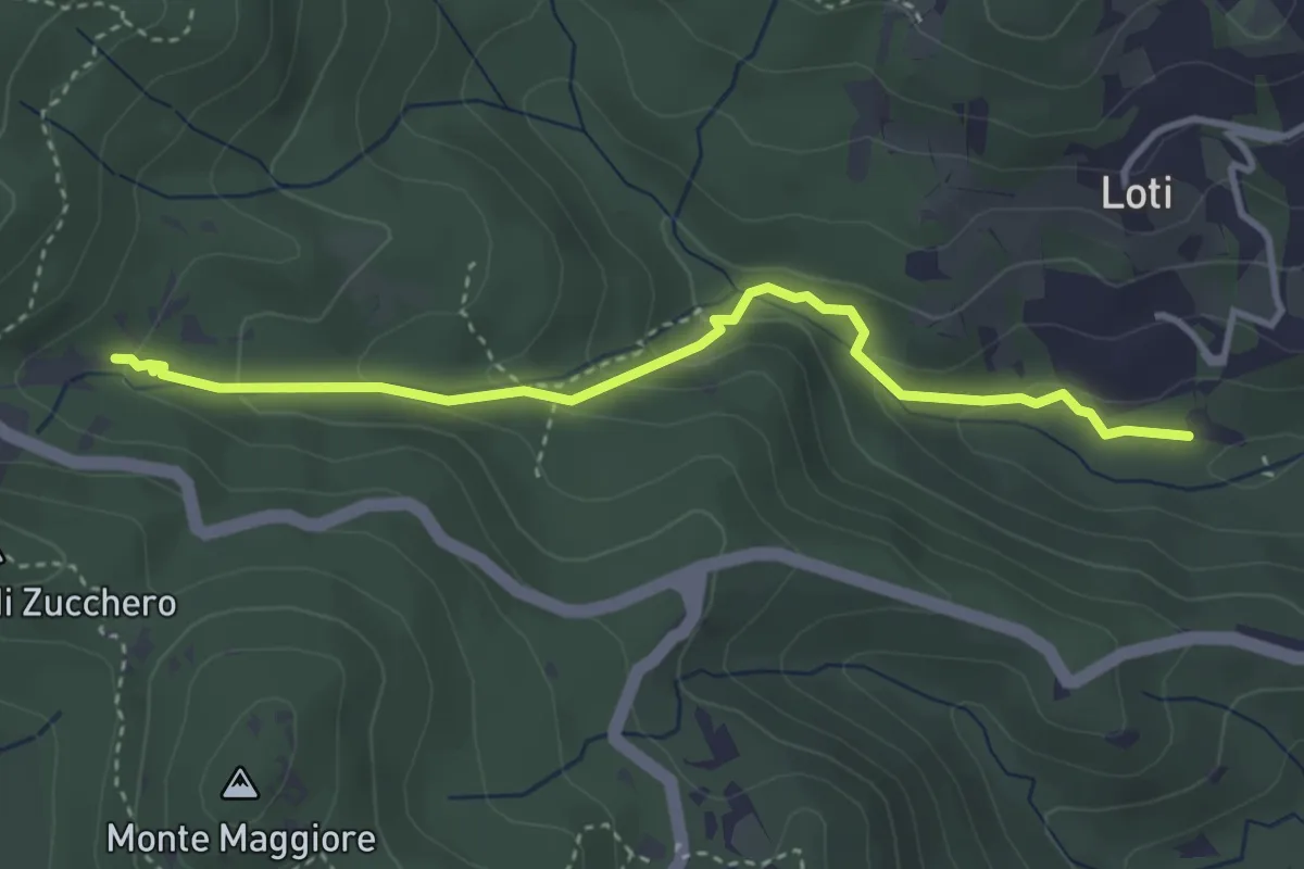
Medium · Trail
Sent. 121 – Sorgente la Terrazza dell'Acquedotto di Colognole
3.8 km · ↑ 182 m · 1 h 18 min · 9 km away
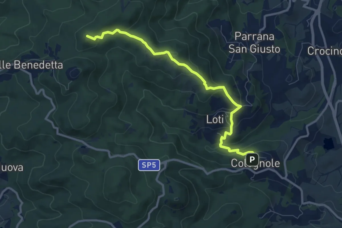
Medium · Summit
Sentiero del Calvario
8.3 km · ↑ 365 m · 2 h 45 min · 9 km away
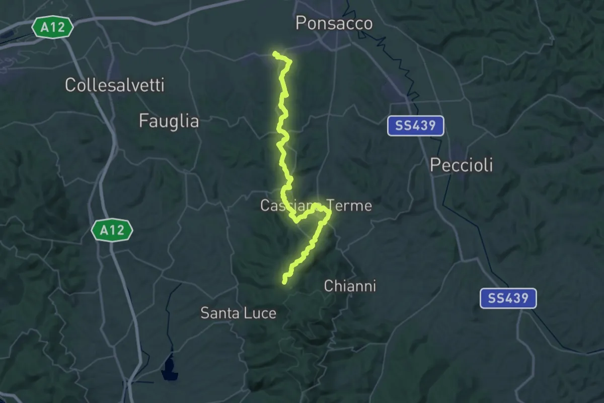
Demanding · Summit
Perignano – Quattro Strade
44.0 km · ↑ 1078 m · 12 h 44 min · 9 km away
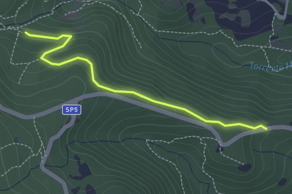
Easy · Trail
Via della Valle Benedetta (Croce) – Acquedotto Leopoldino
2.6 km · ↑ 135 m · 55 min · 9 km away
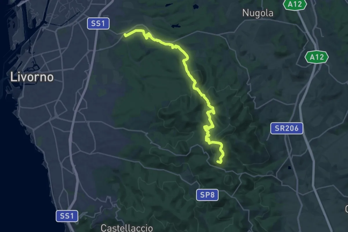
Demanding · Summit
Traversata dei Monti Livornesi
25.3 km · ↑ 714 m · 7 h 31 min · 9 km away
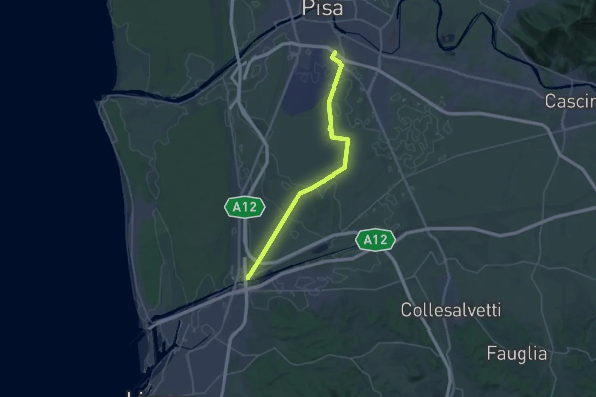
Demanding · Trail
Sentiero Guglielmo Marconi
27.2 km · ↑ 37 m · 6 h 30 min · 10 km away
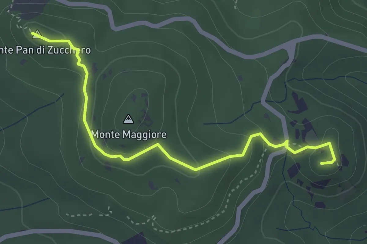
Medium · Summit
Cava della Focerella – Poggio alle Fate
4.1 km · ↑ 139 m · 1 h 17 min · 10 km away
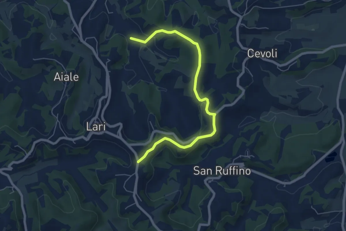
Easy · Trail
Pisinacchio
6.2 km · ↑ 132 m · 1 h 45 min · 10 km away
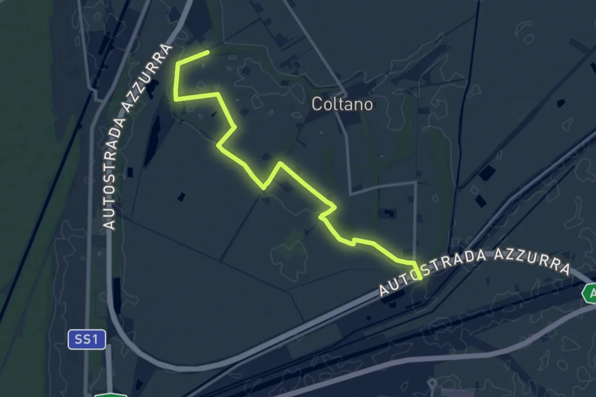
Medium · Trail
Sentiero della Bonifica
12.2 km · ↑ 34 m · 2 h 57 min · 10 km away
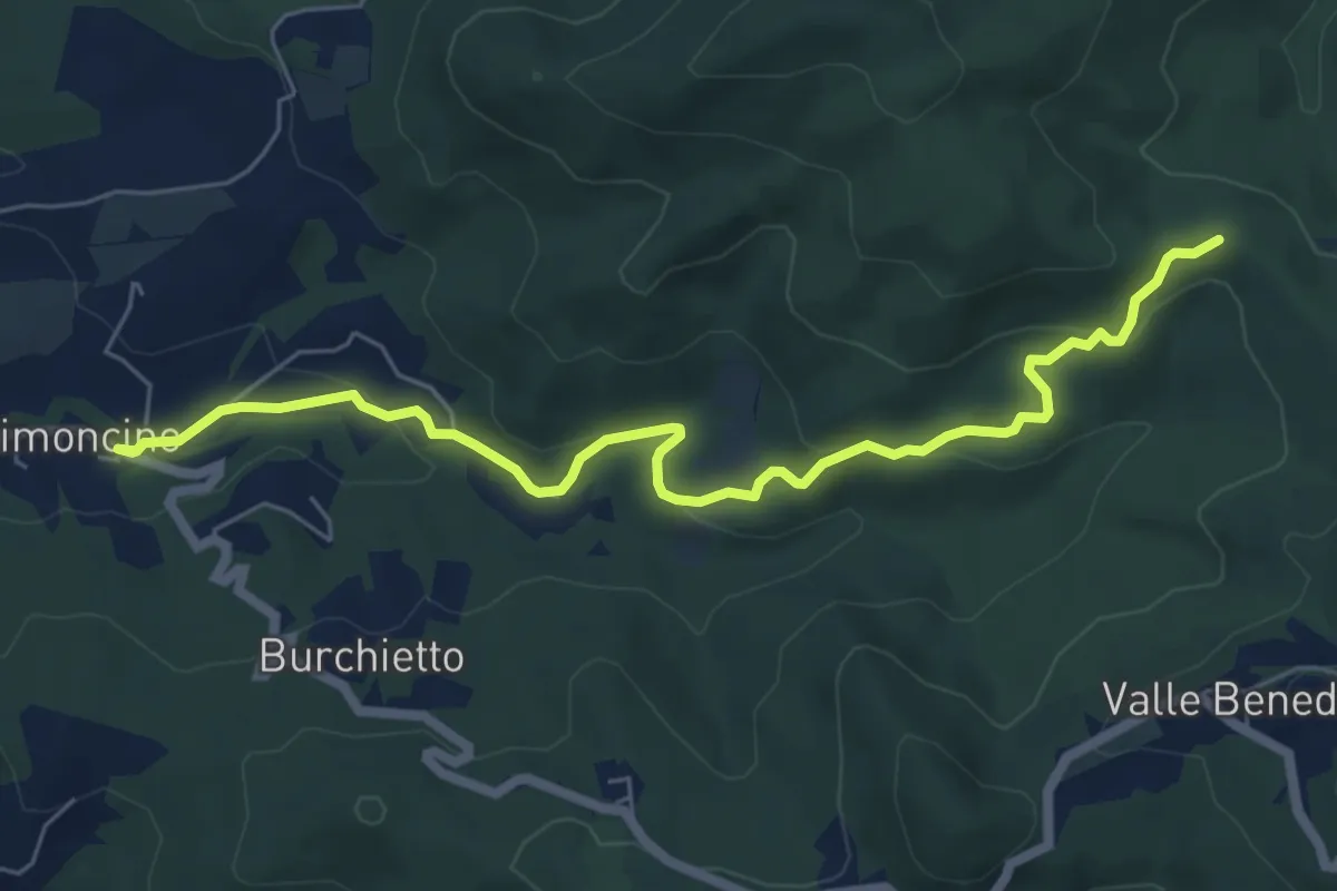
Easy · Trail
Via delle Vallicelle
7.2 km · ↑ 231 m · 2 h 12 min · 11 km away
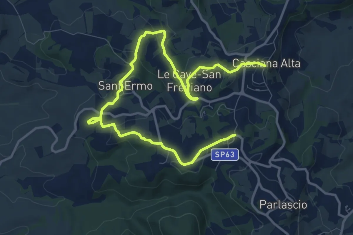
Medium · Trail
Antica Via dell'Acqua
12.3 km · ↑ 332 m · 3 h 37 min · 11 km away
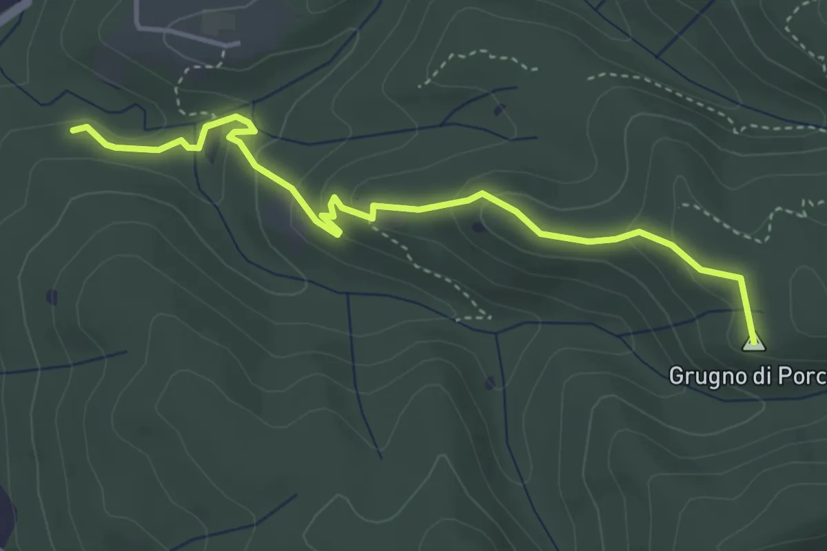
Easy · Summit
Case Corbinelli – Grugno del Porco
4.4 km · ↑ 214 m · 1 h 30 min · 12 km away
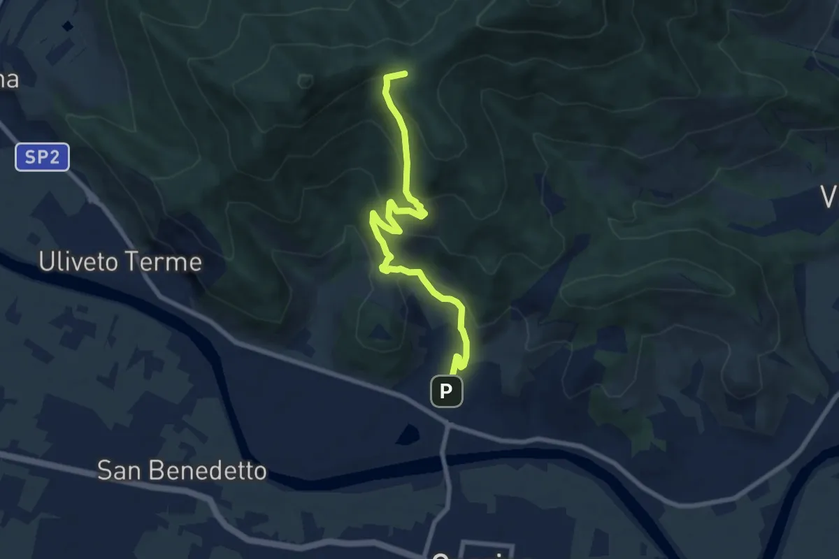
Medium · Summit
Caprona – Lugnano
7.7 km · ↑ 453 m · 2 h 48 min · 12 km away
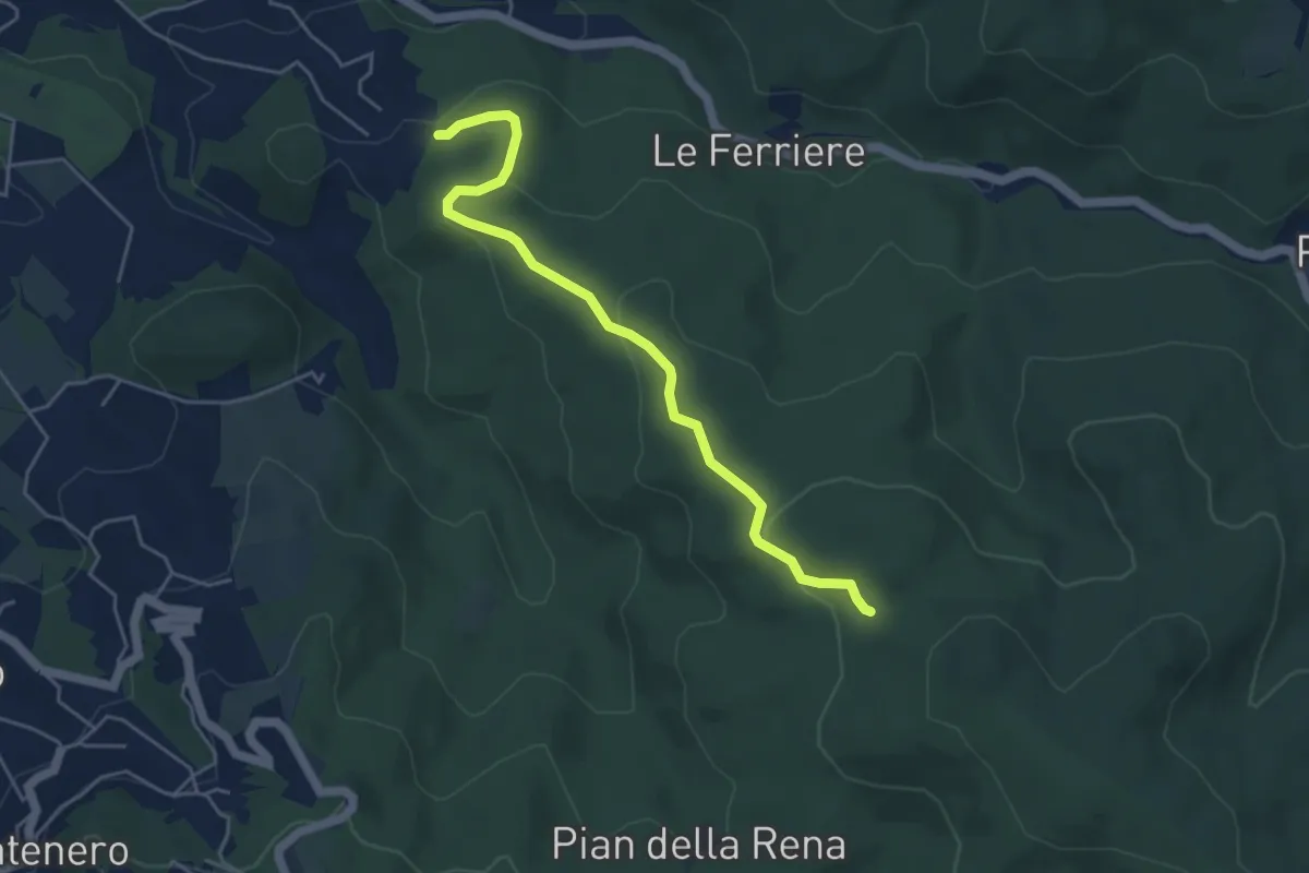
Easy · Trail
Podere del Puntone – Sentiero 140
5.1 km · ↑ 180 m · 1 h 36 min · 12 km away
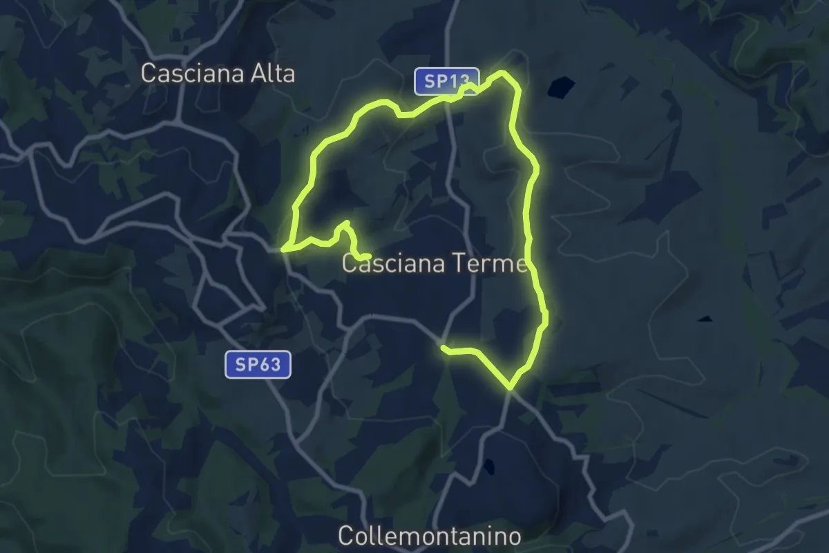
Medium · Trail
Percorso ad anello - Casciana Terme
12.6 km · ↑ 371 m · 3 h 46 min · 13 km away
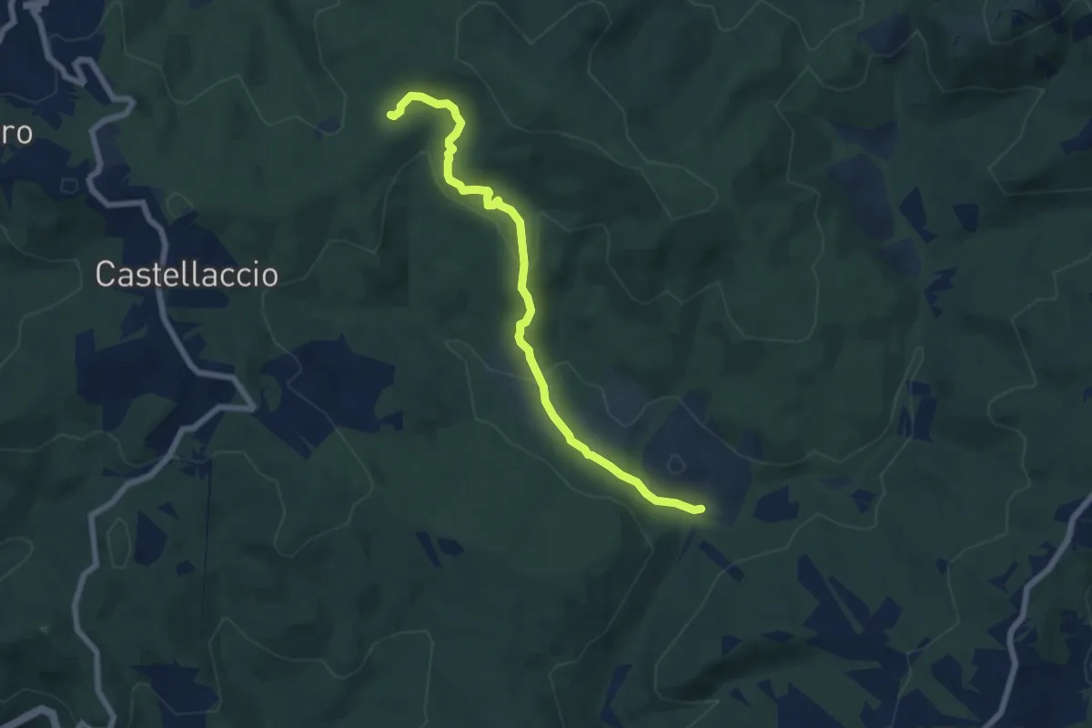
Easy · Trail
Sent. 140 (Pian della Rena) – Podere del Gorgo
7.0 km · ↑ 214 m · 2 h 6 min · 13 km away
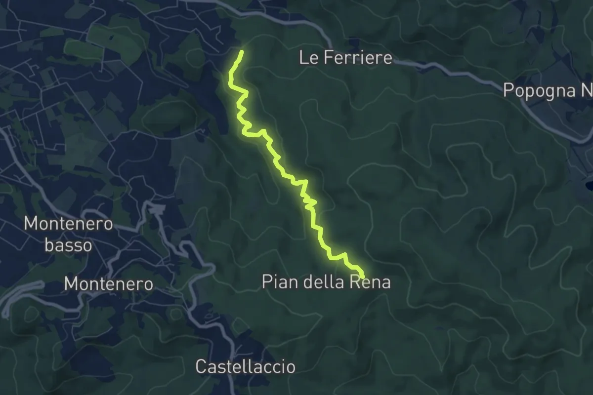
Easy · Trail
Sperticaia
6.8 km · ↑ 301 m · 2 h 15 min · 13 km away
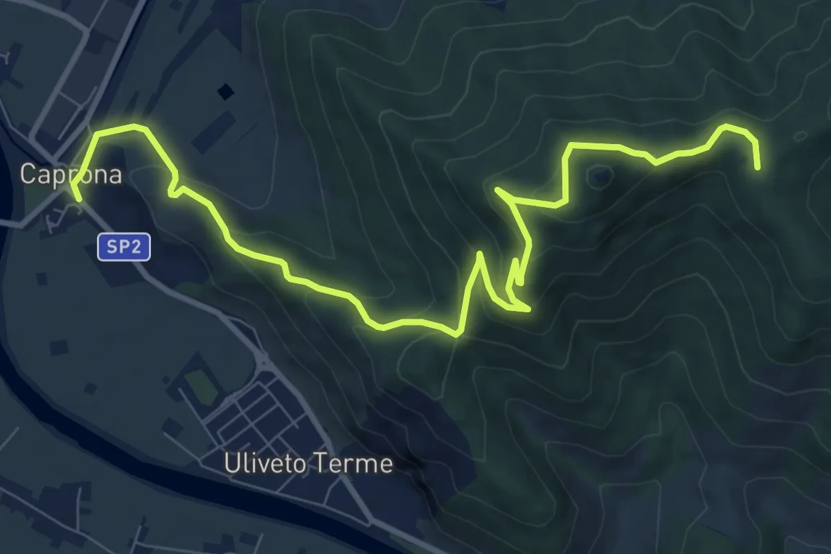
Medium · Summit
Caprona – San Bernardo
11.2 km · ↑ 580 m · 3 h 54 min · 13 km away
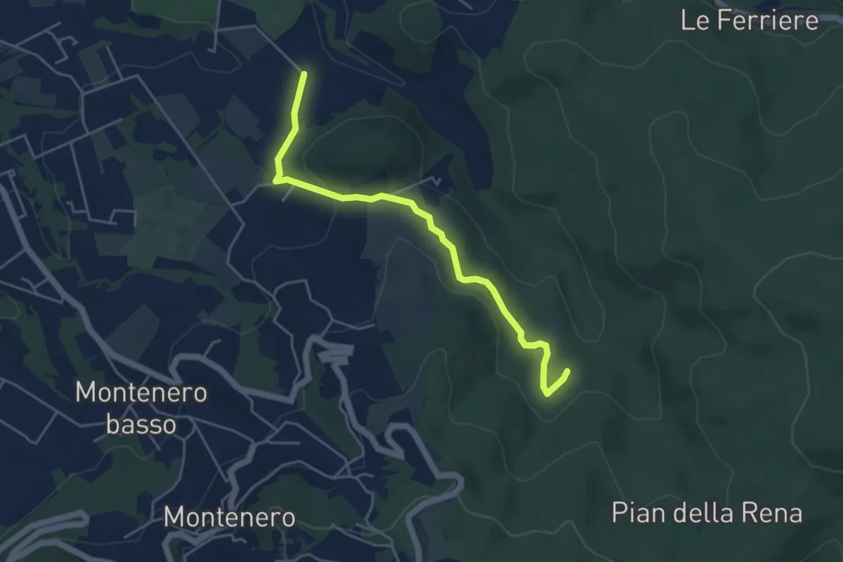
Easy · Trail
Via di Monterotondo – Le Matite (sent. 136)
4.6 km · ↑ 129 m · 1 h 22 min · 13 km away
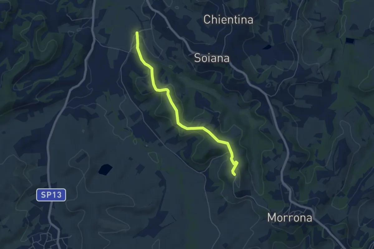
Easy · Trail
Le Case – Badia di Morrona
5.7 km · ↑ 157 m · 1 h 42 min · 13 km away
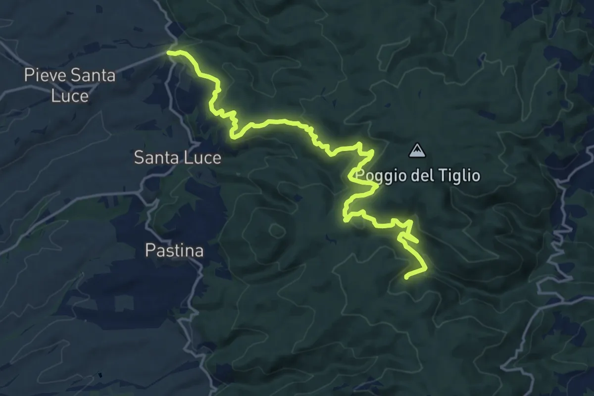
Demanding · Trail
Il Crocino – Botro delle Prunicce
18.5 km · ↑ 771 m · 6 h 3 min · 13 km away
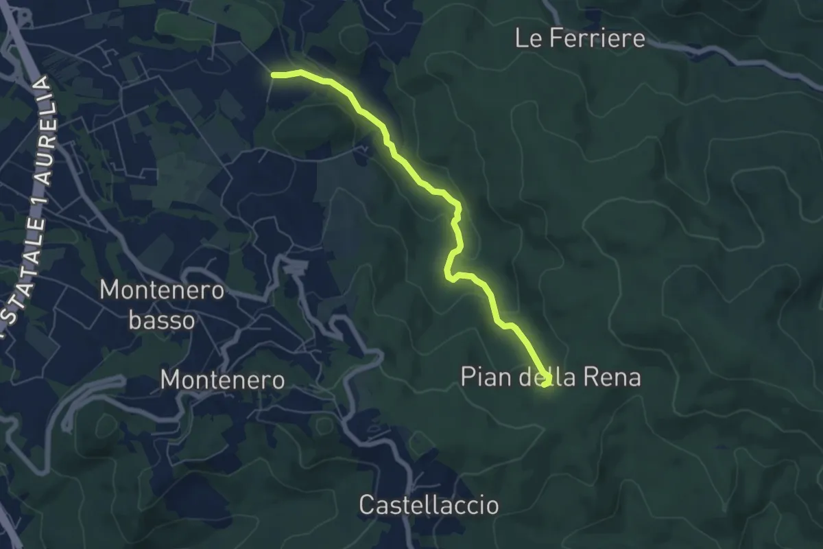
Easy · Trail
Via di Monterotondo – Pian della Rena
6.0 km · ↑ 155 m · 1 h 45 min · 14 km away
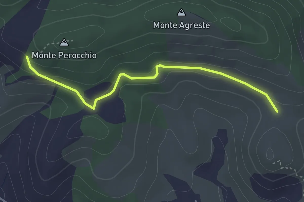
Easy · Trail
Località del Croci – Campo dei Lupi
3.3 km · ↑ 118 m · 1 h 2 min · 14 km away
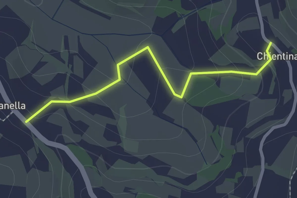
Easy · Trail
Soianella – Chientina
2.0 km · ↑ 74 m · 39 min · 14 km away
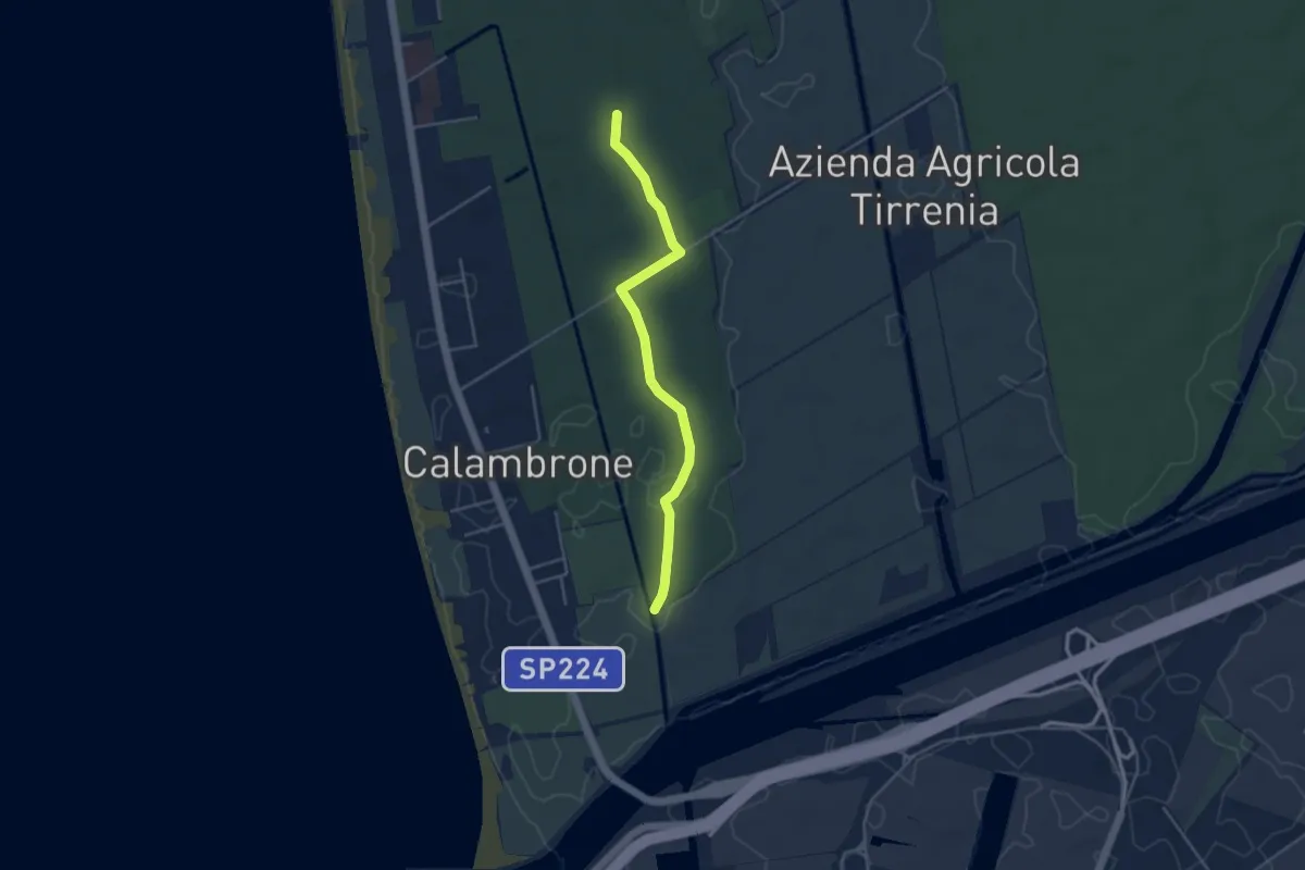
Easy · Trail
Raccordo 008 – Raccordo 001
4.2 km · ↑ 21 m · 1 h 3 min · 14 km away
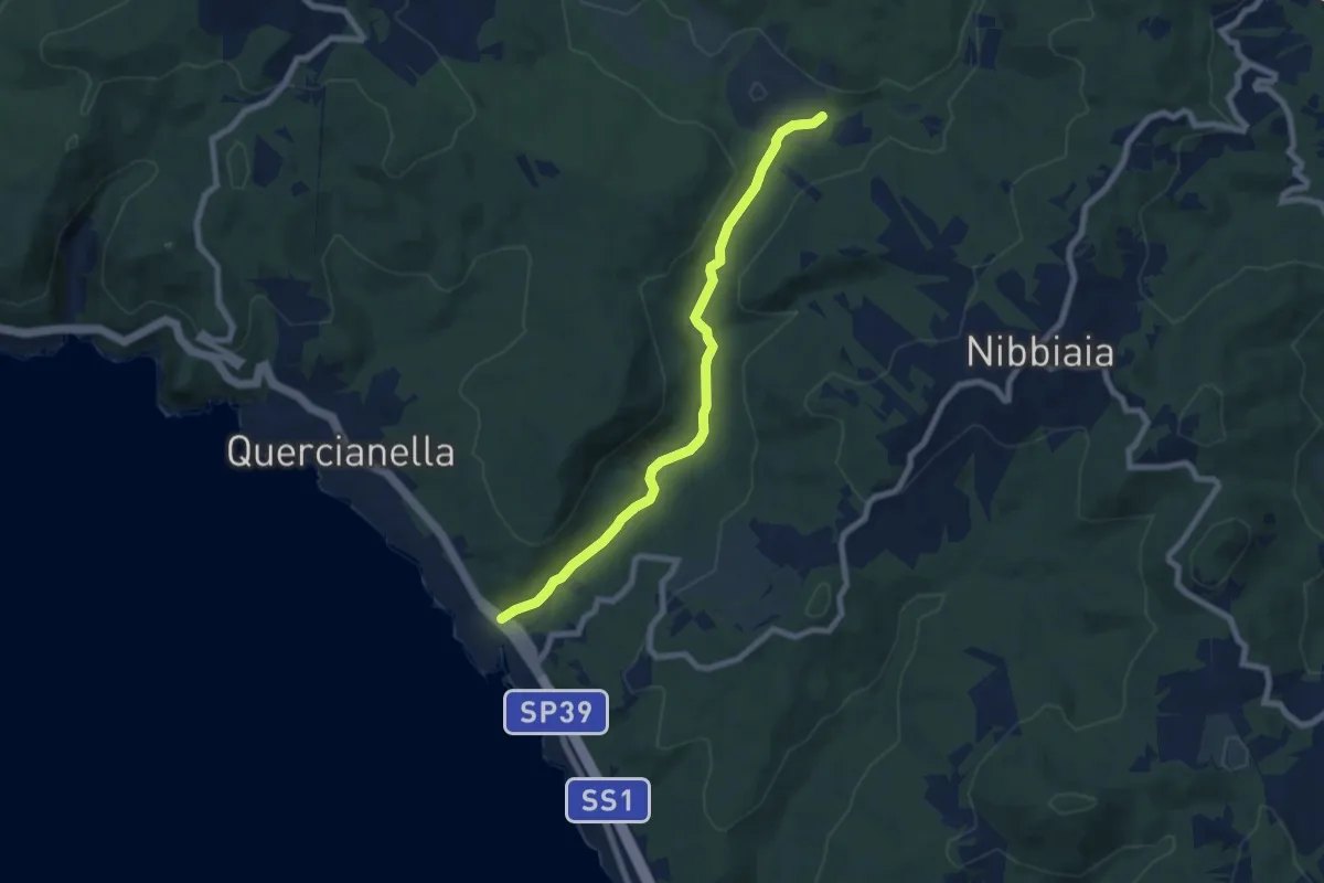
Easy · Trail
Valle del Chioma
7.6 km · ↑ 74 m · 1 h 58 min · 14 km away
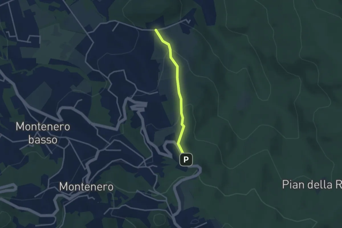
Easy · Trail
Via de L'Ongrilli – Via della Porcigliana
2.4 km · ↑ 112 m · 48 min · 14 km away
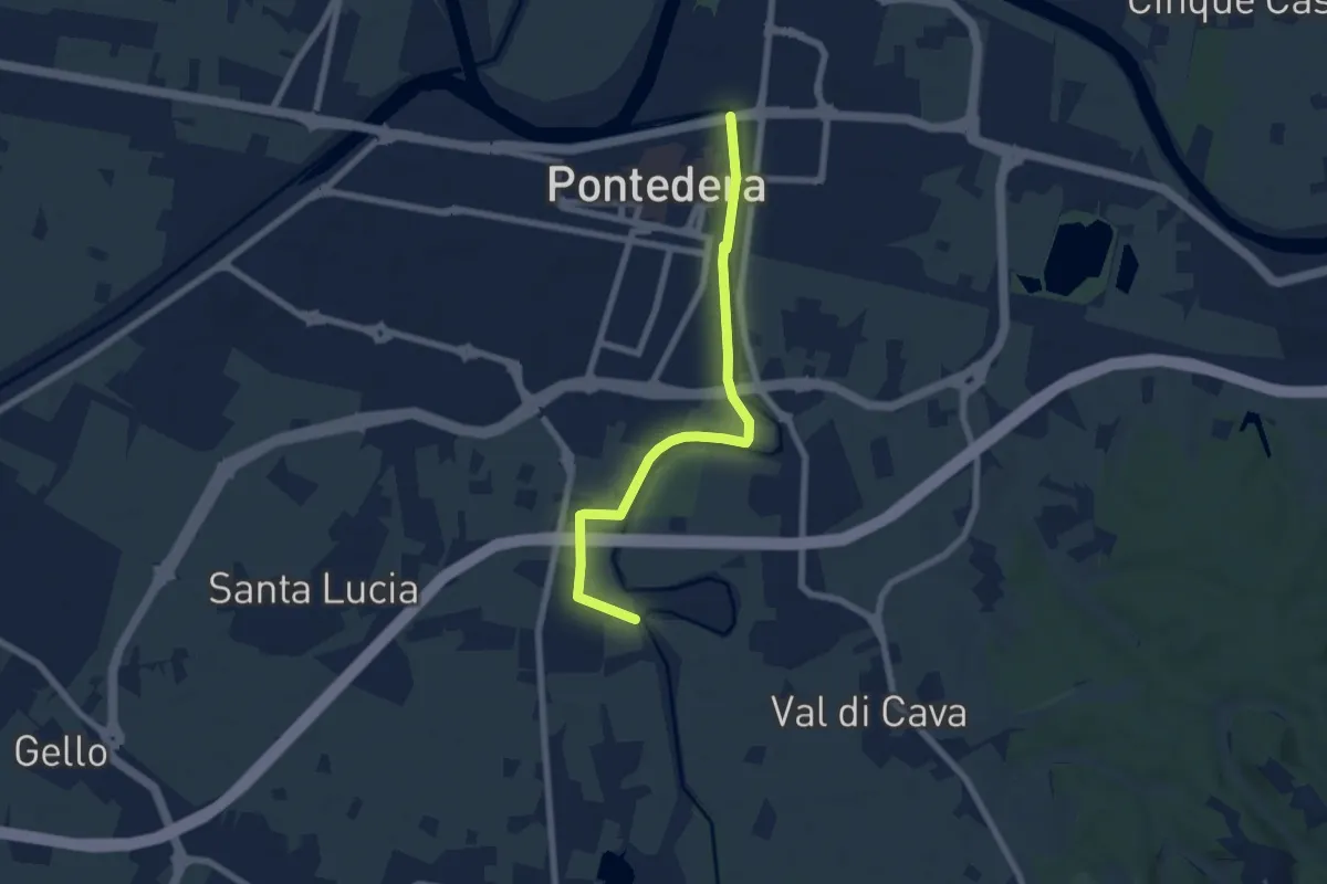
Easy · Trail
Bocca d'Era (Pontedera) – La Borra -Madonna dei Braccini
7.1 km · ↑ 8 m · 1 h 42 min · 14 km away
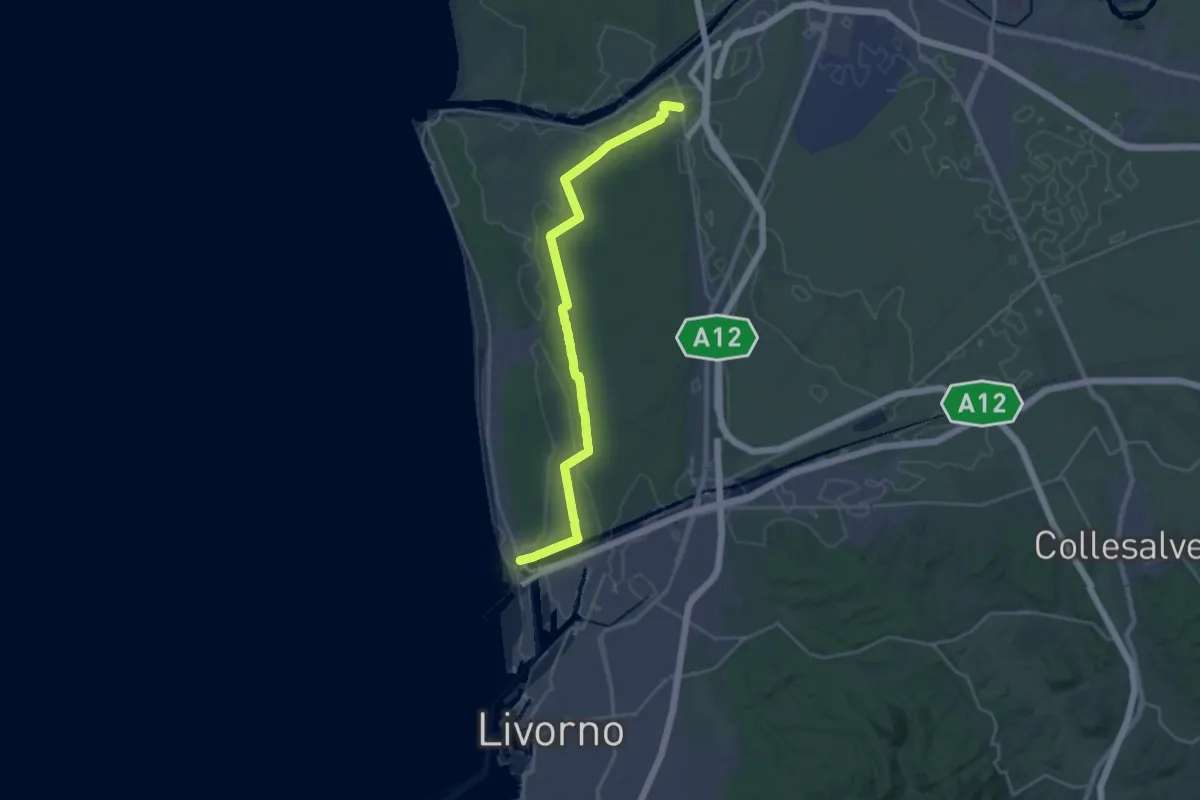
Demanding · Trail
Sentiero dei Tomboli
28.2 km · ↑ 36 m · 6 h 44 min · 14 km away
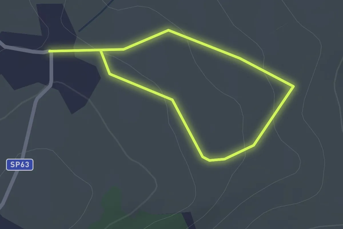
Easy · Trail
Casciana Terme – Fichino
1.4 km · ↑ 19 m · 23 min · 14 km away
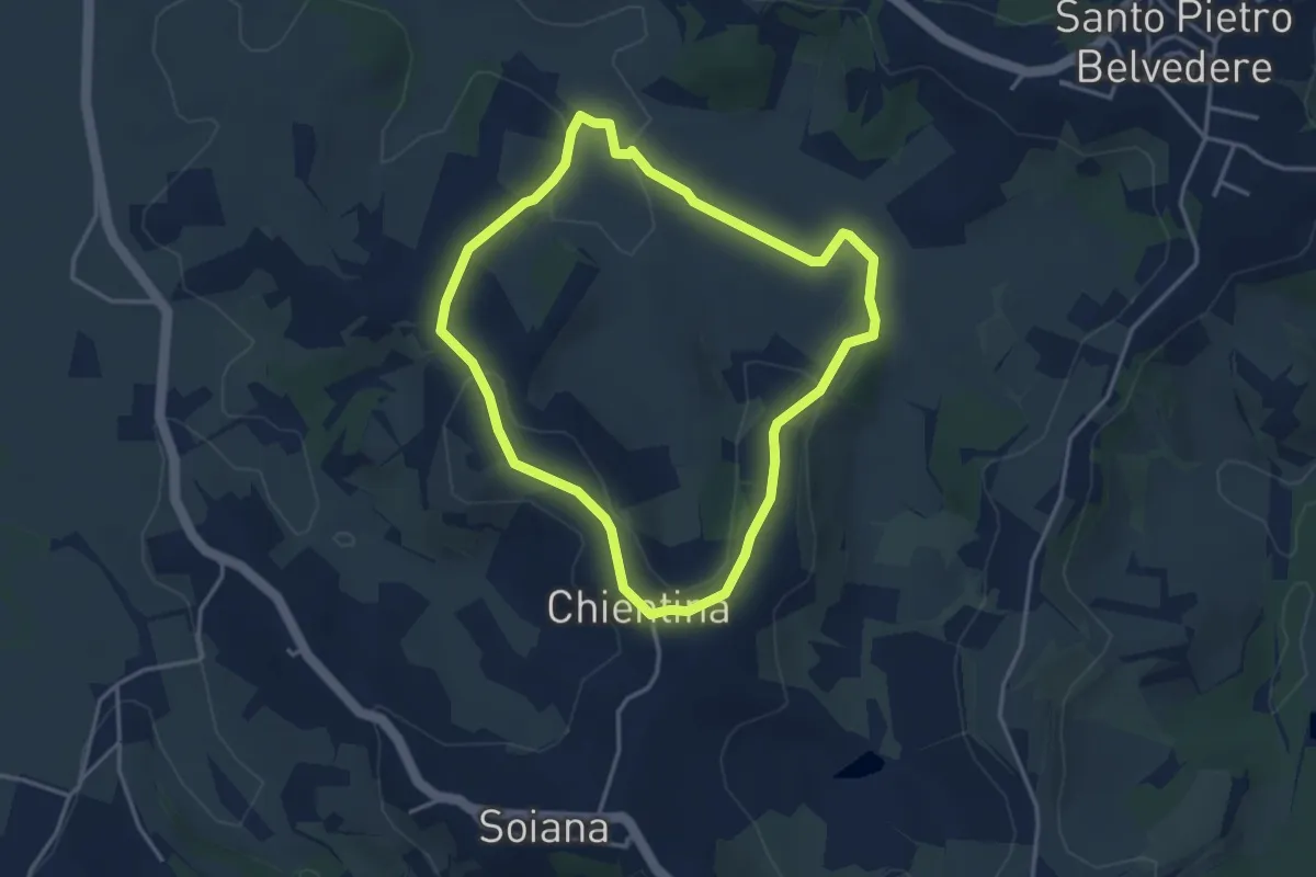
Easy · Trail
La Chientina – Val di Rio
3.6 km · ↑ 78 m · 1 h 5 min · 14 km away
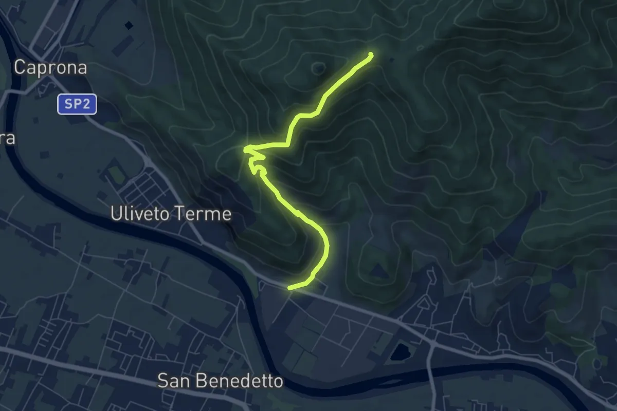
Medium · Trail
Noce – Prato a Ceccottino
7.1 km · ↑ 419 m · 2 h 35 min · 14 km away
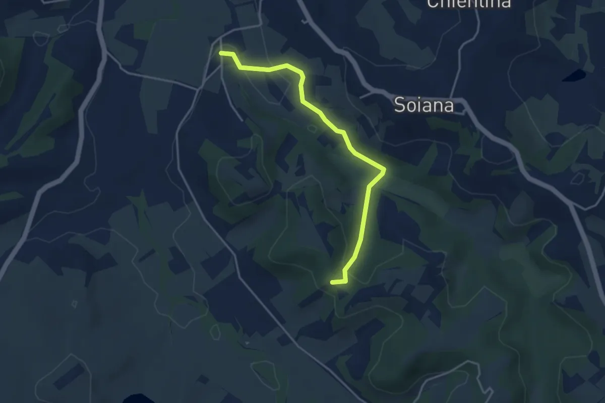
Easy · Trail
Le Case – Innesto sentiero 451 in Via dei Monaci
3.7 km · ↑ 80 m · 1 h 3 min · 14 km away
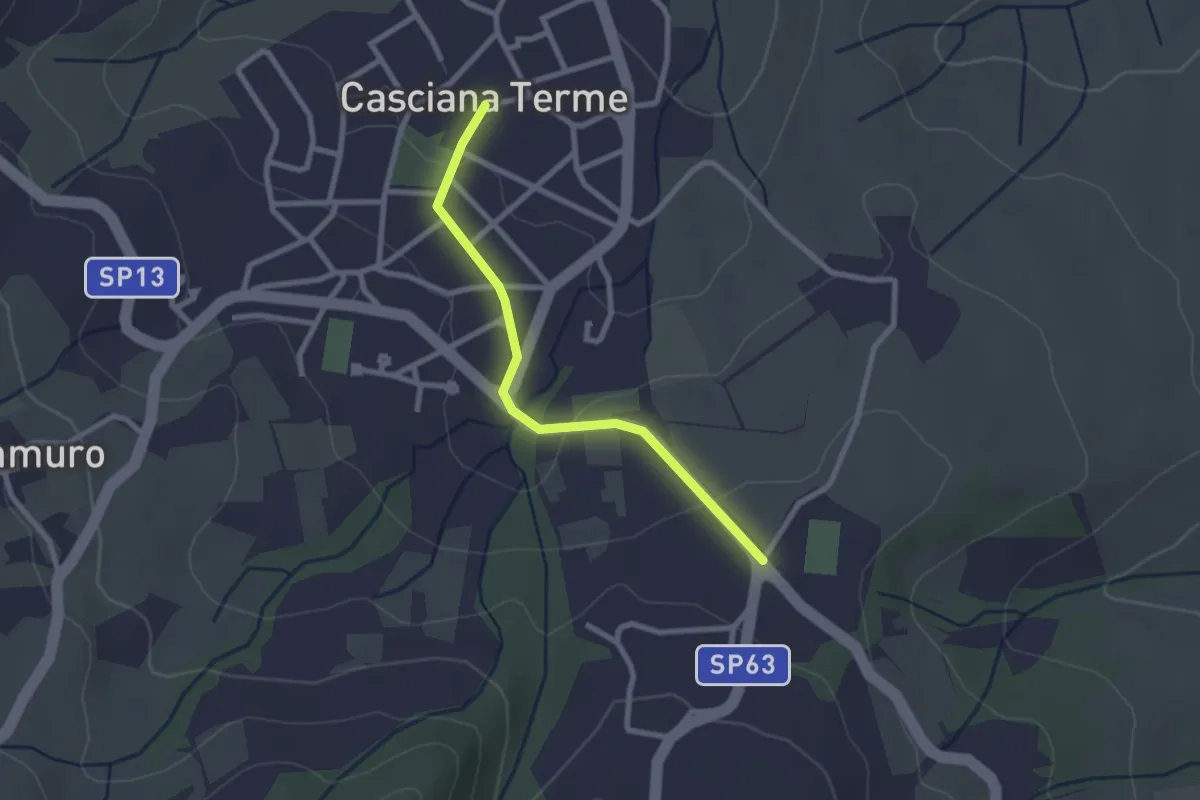
Easy · Trail
Stadio A. Picchi – Cascina Terme (Piazza garibaldi)
2.5 km · ↑ 47 m · 41 min · 14 km away
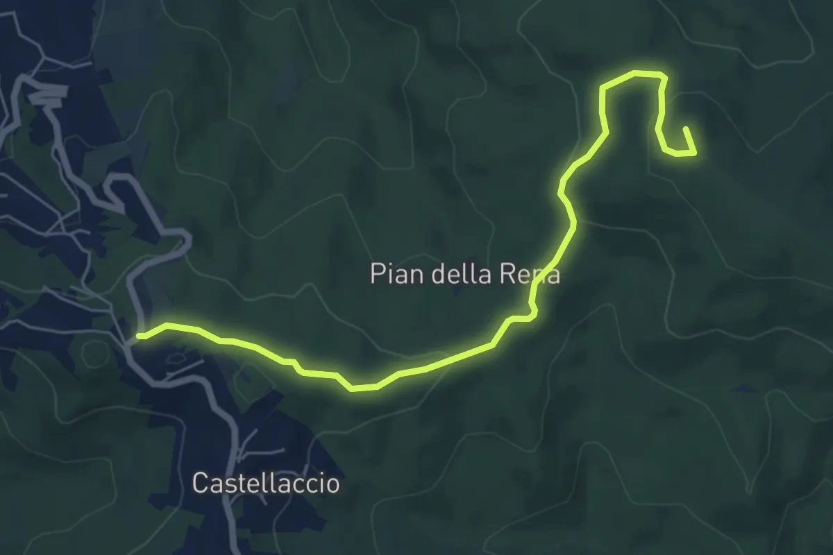
Easy · Summit
Castellaccio – Palazzine
6.6 km · ↑ 164 m · 1 h 55 min · 14 km away