Trails near Cologna Veneta
21 hikes starting within 15 km, nearest first.
Nearest first
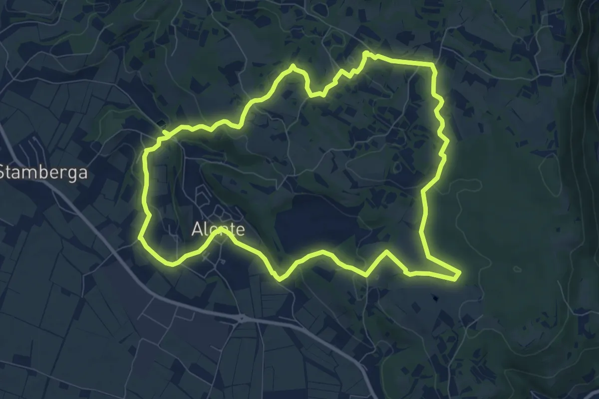
Medium · Trail
Sentiero n. 45 di Alonte
9.7 km · ↑ 165 m · 2 h 47 min · 7 km away
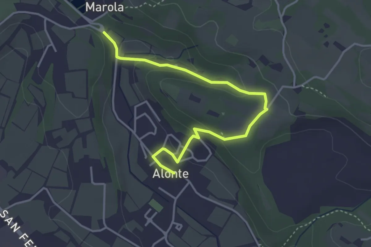
Easy · Trail
Sentiero n. 45 Variante Bosco dei Molini
4.1 km · ↑ 120 m · 1 h 14 min · 7 km away
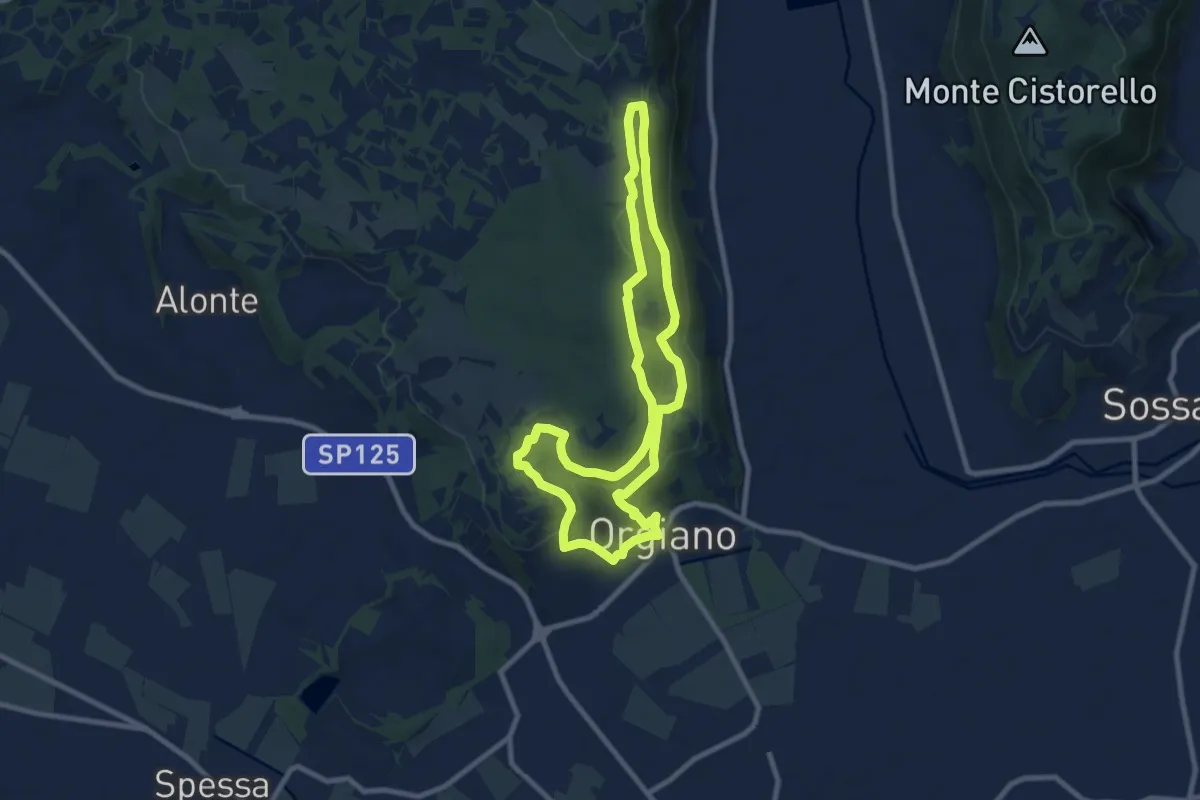
Medium · Summit
Sentiero n. 55 di Orgiano
8.8 km · ↑ 221 m · 2 h 40 min · 7 km away
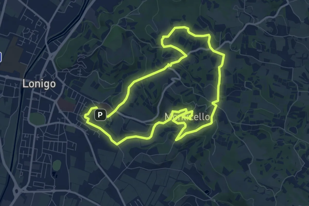
Medium · Trail
Sentiero delle Fontane
9.1 km · ↑ 207 m · 2 h 43 min · 8 km away
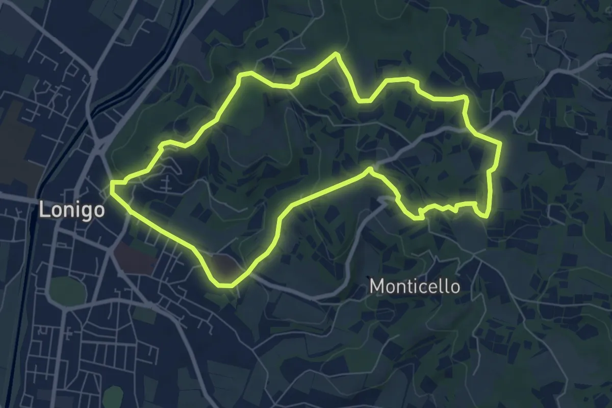
Medium · Trail
Sentiero dei Monti di Lonigo
7.7 km · ↑ 183 m · 2 h 19 min · 9 km away
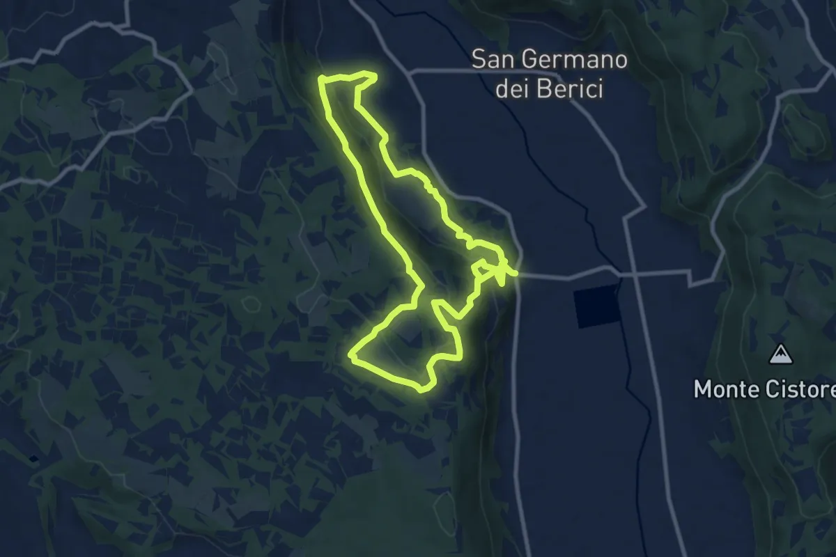
Medium · Trail
Sentiero n. 51 di Villa del Ferro o del Donatore
17.9 km · ↑ 650 m · 5 h 38 min · 11 km away
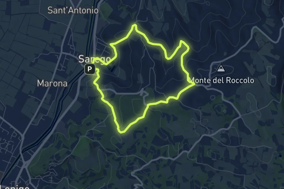
Easy · Summit
Sentiero delle Grotte di Sarego
6.9 km · ↑ 212 m · 2 h 11 min · 11 km away
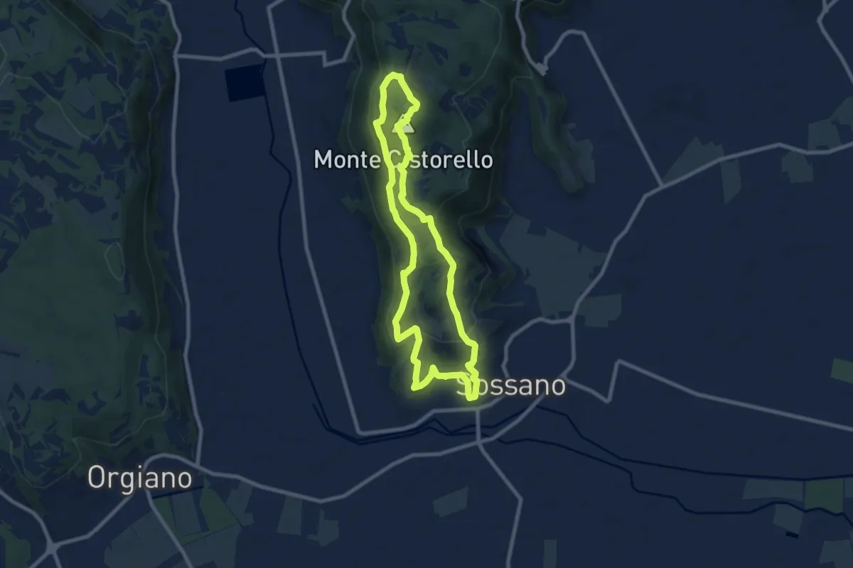
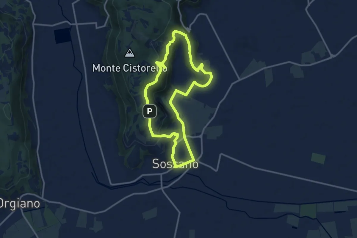
Medium · Summit
Sentiero n. 57 del Monte Cistorello
8.1 km · ↑ 308 m · 2 h 41 min · 11 km away
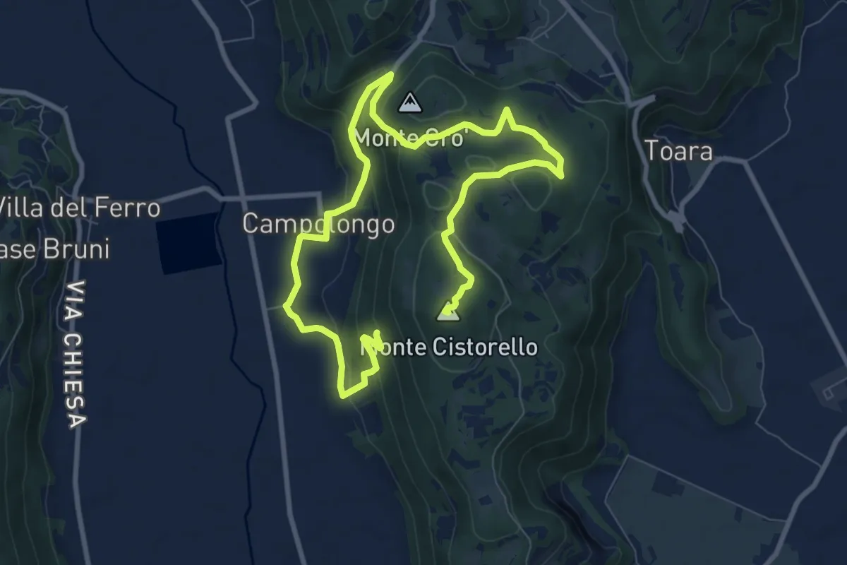
Medium · Trail
Sentiero n. 56 delle Fontane
9.3 km · ↑ 295 m · 2 h 57 min · 11 km away
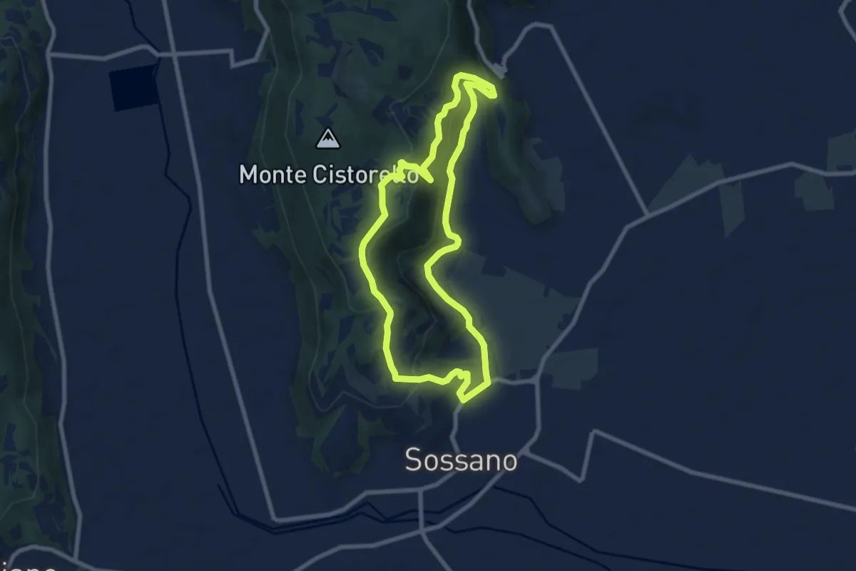
Medium · Summit
Sentiero di Campolongo
12.7 km · ↑ 424 m · 3 h 55 min · 11 km away
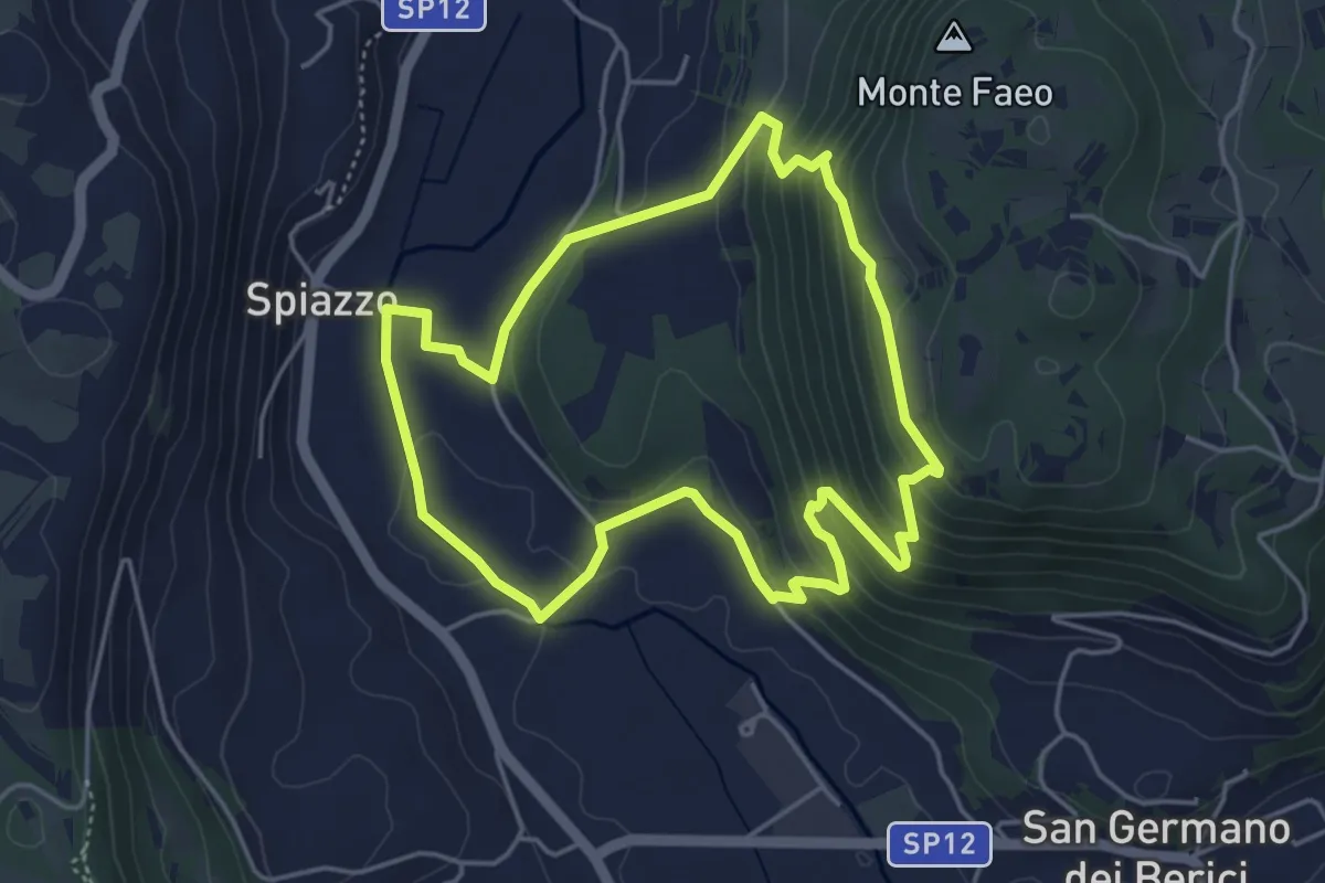
Easy · Summit
Sentiero n. 52 del Grumale
7.4 km · ↑ 280 m · 2 h 27 min · 13 km away
Easy · Trail
Sentiero n. 65 della Madonnetta o dei Frati
4.5 km · ↑ 229 m · 1 h 37 min · 13 km away
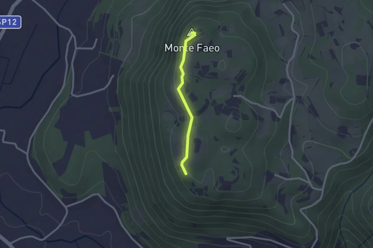
Easy · Summit
Sentiero n. 53 Variante del Monte Faeo
1.8 km · ↑ 29 m · 29 min · 13 km away
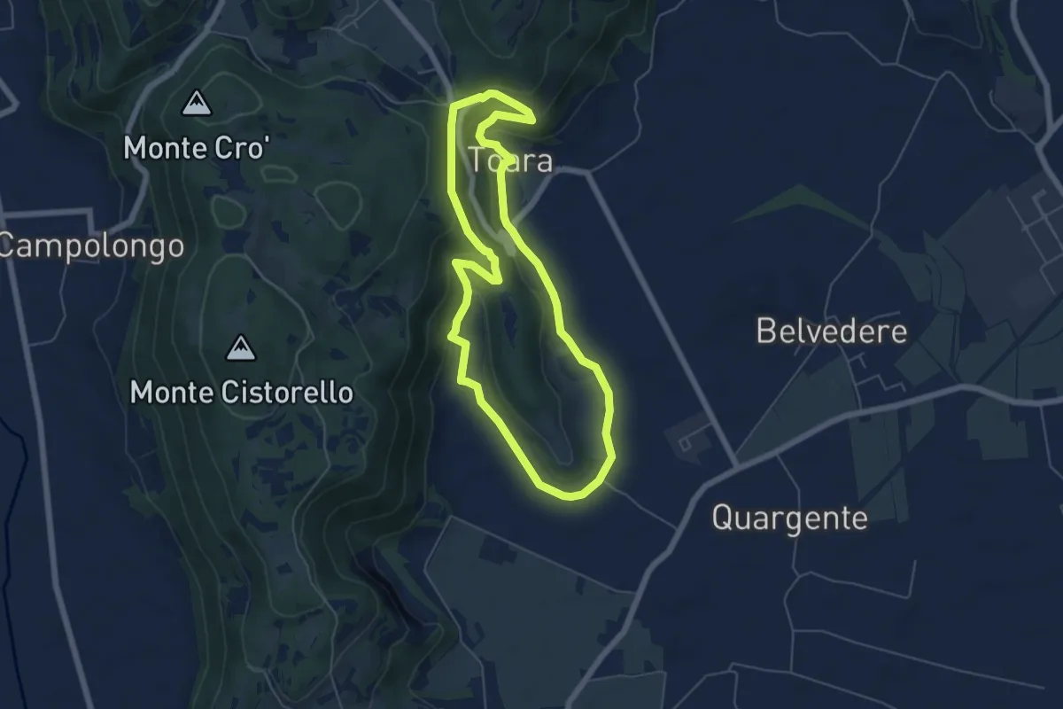
Easy · Trail
Sentiero delle Riveselle
5.5 km · ↑ 154 m · 1 h 43 min · 13 km away
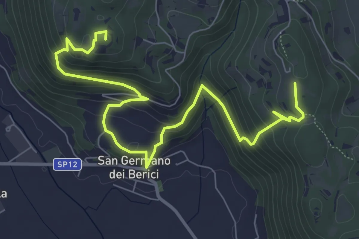
Medium · Summit
Sentiero n. 53 dei Curì e della Lupia (o di San Germano)
8.7 km · ↑ 500 m · 3 h 9 min · 13 km away
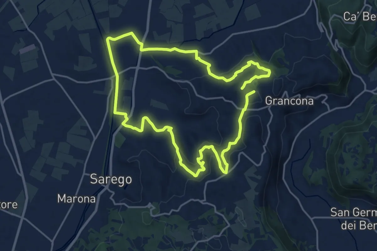
Demanding · Summit
Sentiero dei Monti di Meledo
27.6 km · ↑ 762 m · 8 h 10 min · 14 km away
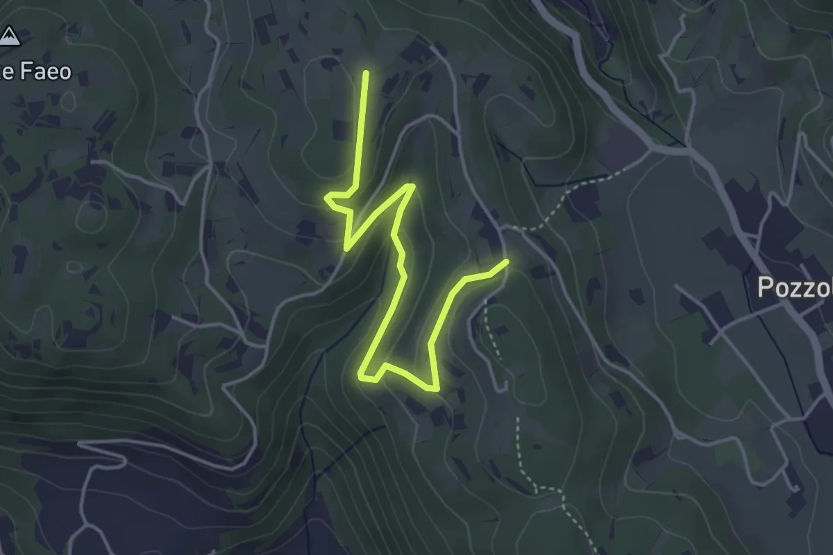
Easy · Trail
Sentiero n. 53 variante delle Vaccarette o della Fontana del Marcolin
4.4 km · ↑ 145 m · 1 h 21 min · 14 km away
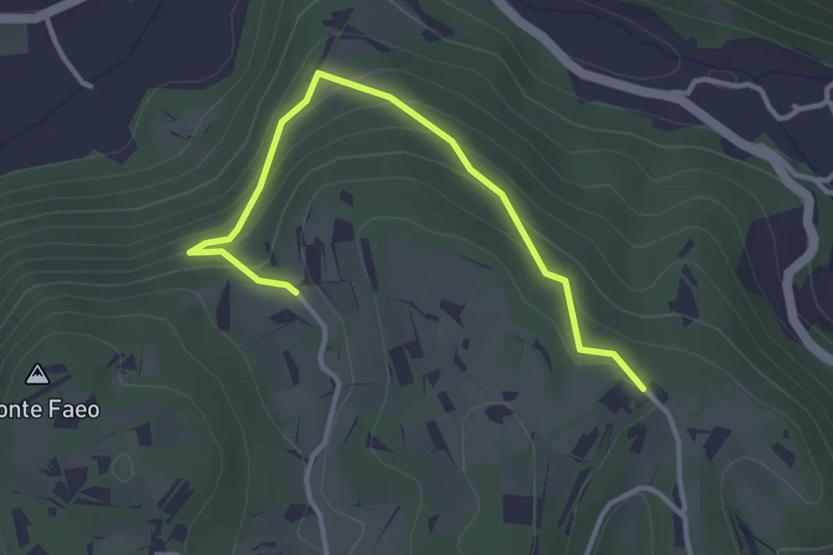
Easy · Trail
Sentiero n. 53 variante della Fontana dei Casalini
3.3 km · ↑ 194 m · 1 h 12 min · 14 km away
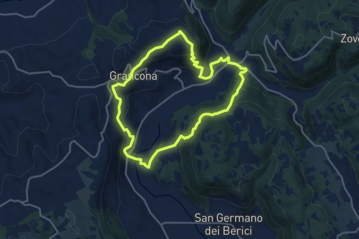
Medium · Summit
Sentiero n. 61 panoramico Pederiva - Spiazzo o di Val Liona
8.5 km · ↑ 432 m · 3 h 3 min · 14 km away
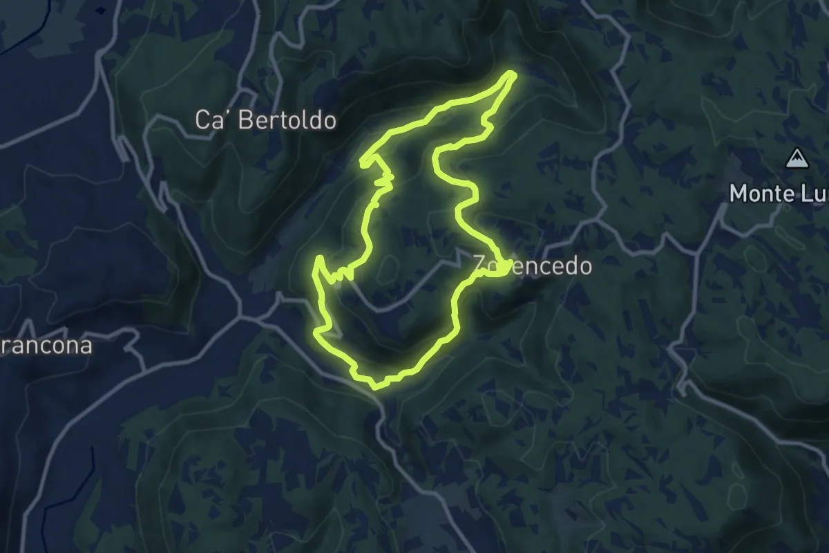
Medium · Trail
Life+ Zovencedo Calto San Gottardo
9.2 km · ↑ 449 m · 3 h 16 min · 15 km away
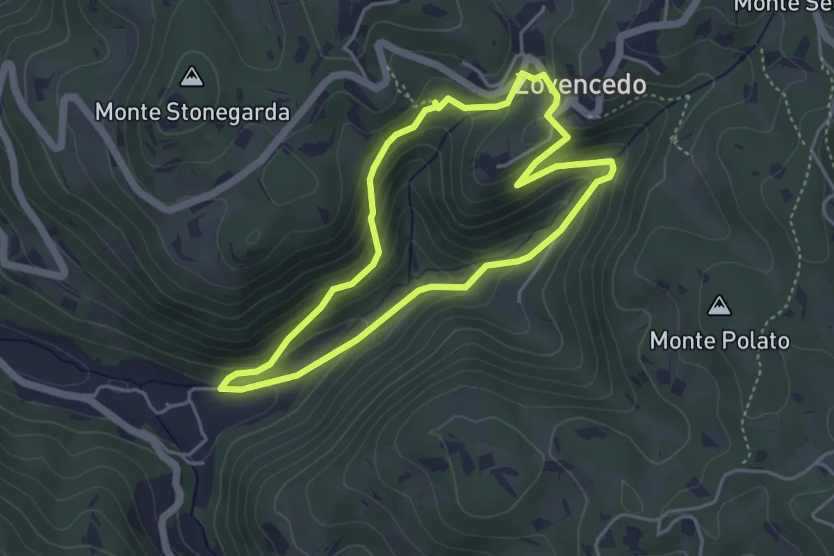
Easy · Trail
Itinerario pedonale 3 di Corte Calto - Zovencedo
3.7 km · ↑ 201 m · 1 h 22 min · 15 km away