Trails near Concesio
279 hikes starting within 15 km, nearest first.
Nearest first, page 6 of 6
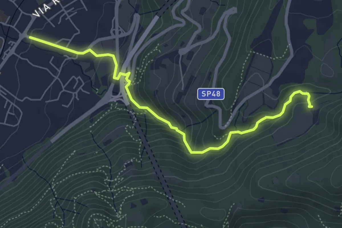
Medium · Trail
Sentér del Gat
5.9 km · ↑ 306 m · 2 h 4 min · 12 km away
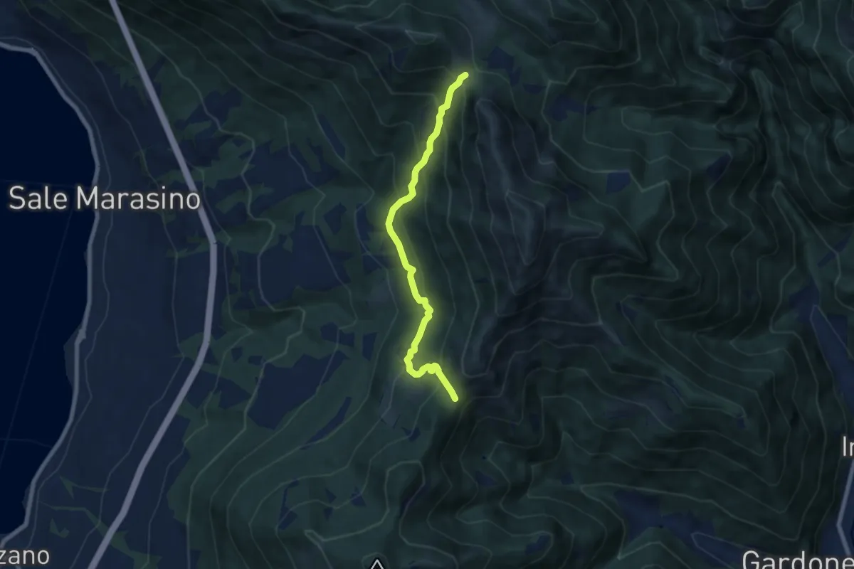
Medium · Trail
Sentiero 3V - Tappa 7 (Variante bassa)
6.7 km · ↑ 568 m · 2 h 48 min · 12 km away
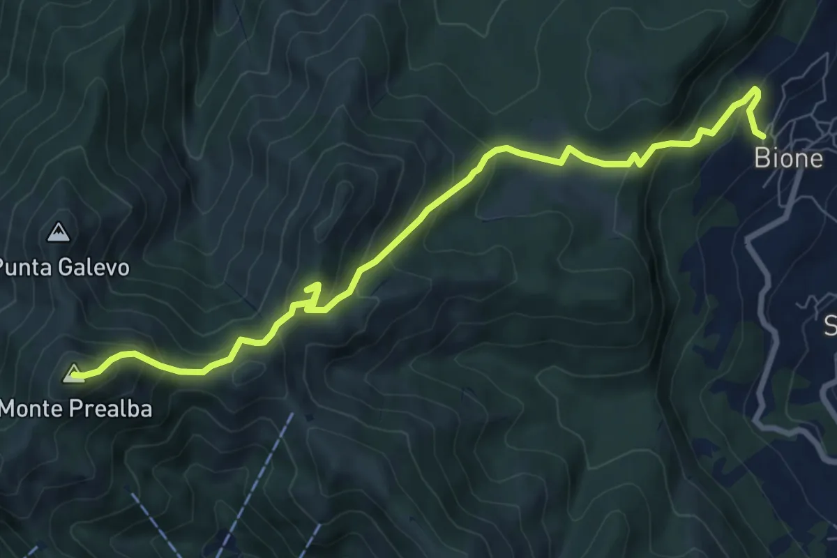
Medium · Summit
Bione (Pieve) - Eremo di San Vigilio - Monte Prealba
8.7 km · ↑ 716 m · 3 h 36 min · 12 km away
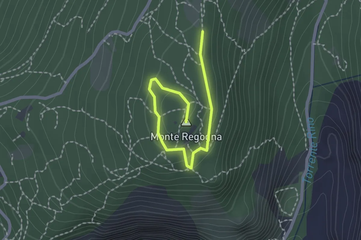
Easy · Summit
Sentiero didattico (Monte Regogna)
2.0 km · ↑ 54 m · 35 min · 12 km away
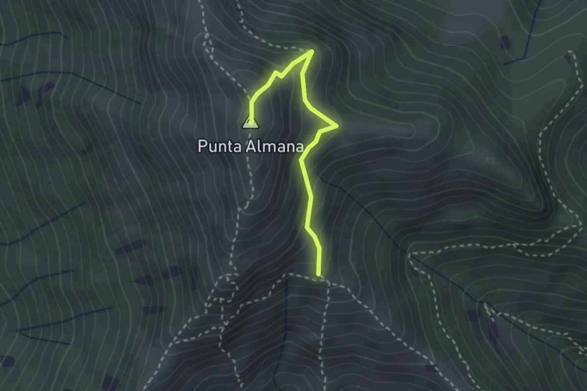
Medium · Summit
Gardone Val Trompia (Bivio Sentiero 313) – Punta Almana
2.4 km · ↑ 309 m · 1 h 14 min · 12 km away
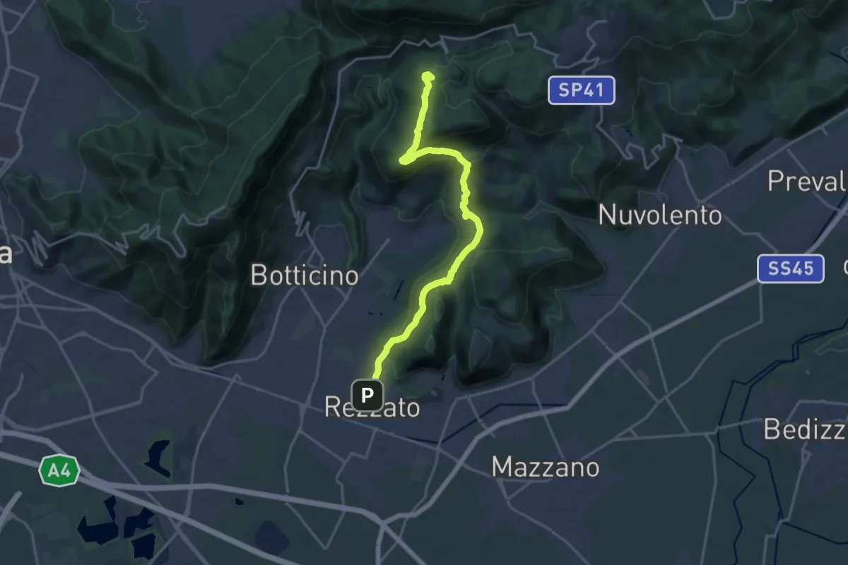
Demanding · Summit
Sentiero principale Valverde
17.5 km · ↑ 748 m · 5 h 45 min · 13 km away
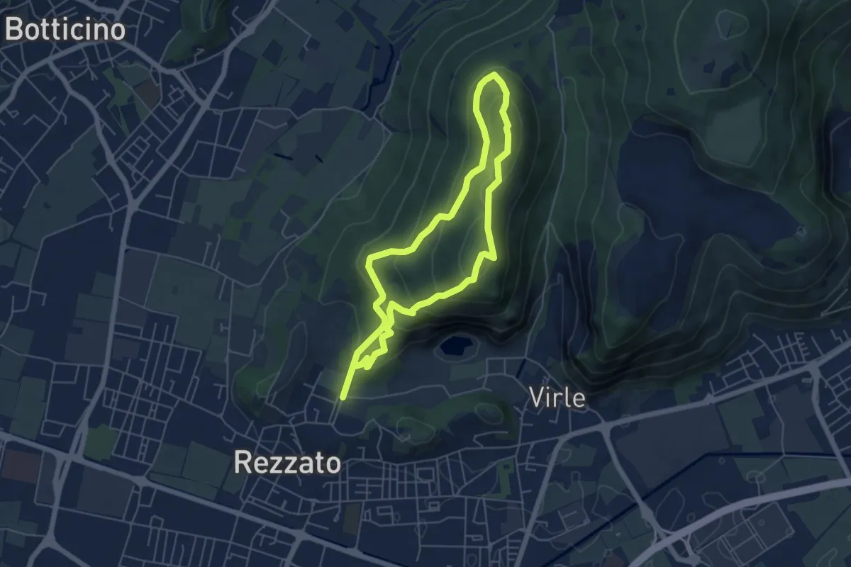
Medium · Summit
Sentiero dei fiori
4.8 km · ↑ 271 m · 1 h 48 min · 13 km away
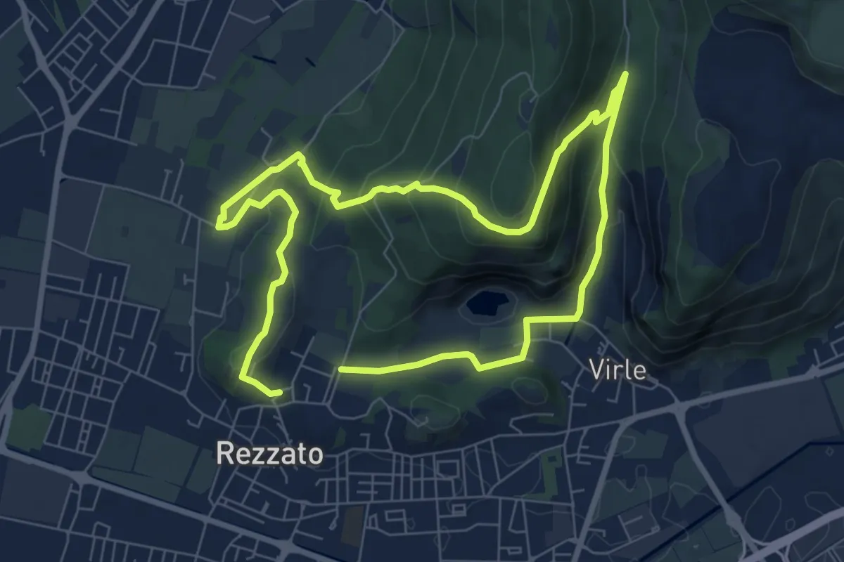
Medium · Summit
Sentiero della storia
6.4 km · ↑ 306 m · 2 h 16 min · 13 km away
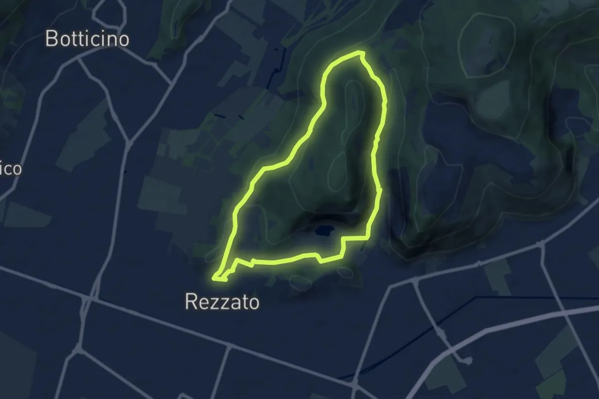
Medium · Summit
Sentiero della Rasa
6.3 km · ↑ 203 m · 2 h 1 min · 13 km away
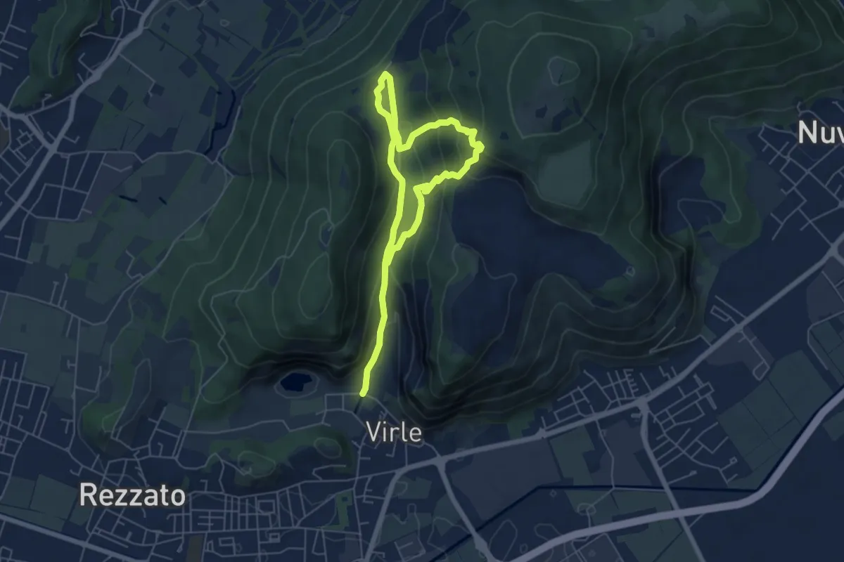
Medium · Trail
Sentiero della Valle di Virle
4.2 km · ↑ 202 m · 1 h 32 min · 13 km away
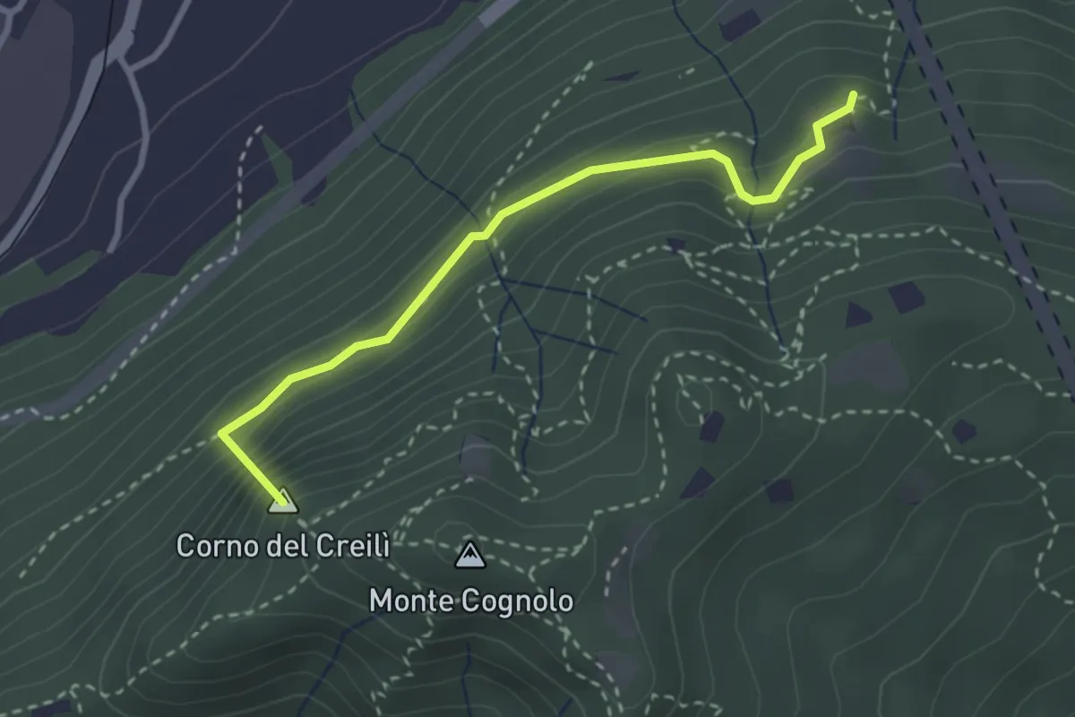
Easy · Summit
Senterù - Sentiero delle Terre Rosse
2.9 km · ↑ 284 m · 1 h 18 min · 13 km away
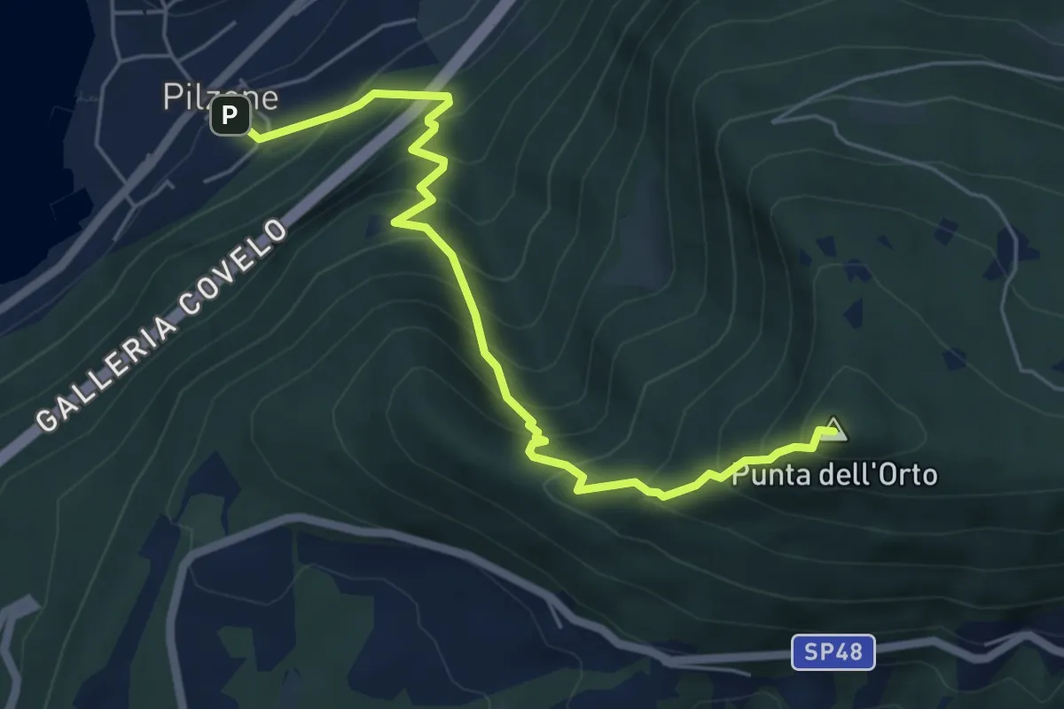
Medium · Summit
Pilzone – Punta dell'Orto
6.0 km · ↑ 762 m · 3 h 3 min · 13 km away
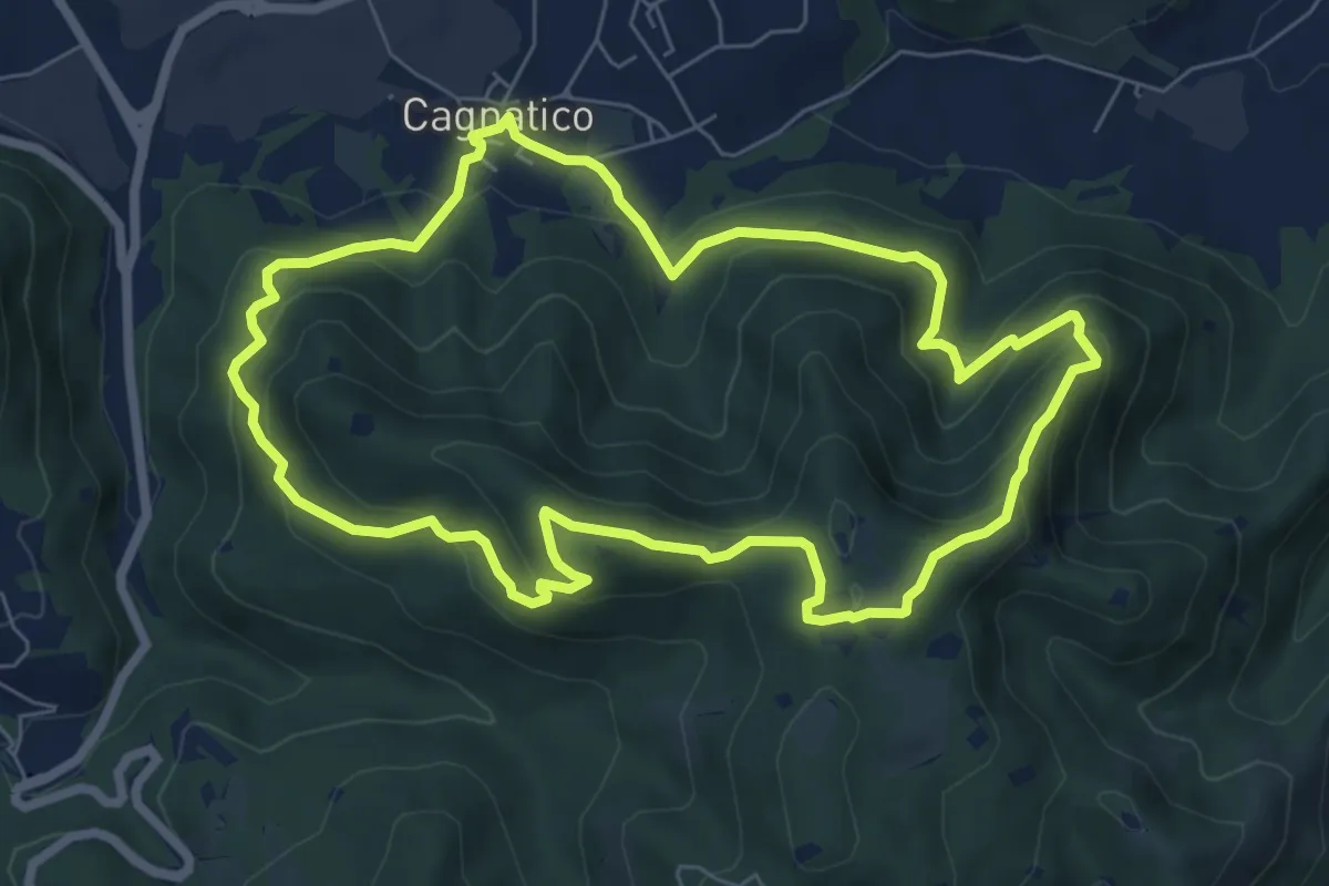
Medium · Summit
Odolo (Cagnatico) – Cagnatico
7.1 km · ↑ 405 m · 2 h 40 min · 13 km away
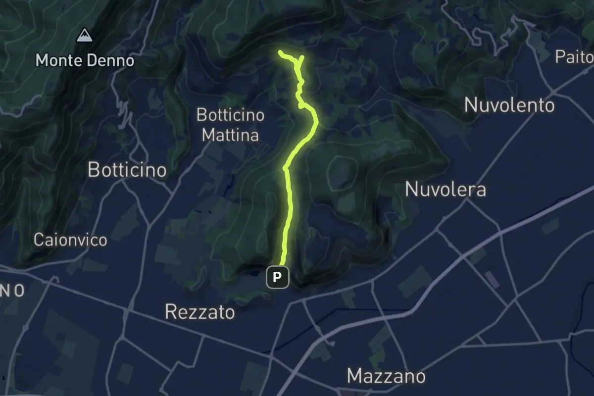
Medium · Cabin
La Via del marmo - Rezzato (Valle di Virle)
10.9 km · ↑ 399 m · 3 h 27 min · 13 km away
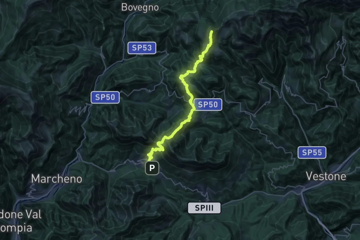
Demanding · Summit
Sentiero 3V - Tappa 3
25.5 km · ↑ 1895 m · 10 h 8 min · 13 km away
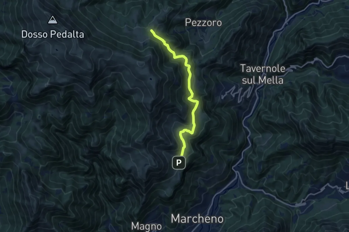
Medium · Cabin
Marcheno (Piani di Caregno) – Pozza Lavacolo (Bivio Sentiero 325)
10.9 km · ↑ 601 m · 3 h 53 min · 13 km away
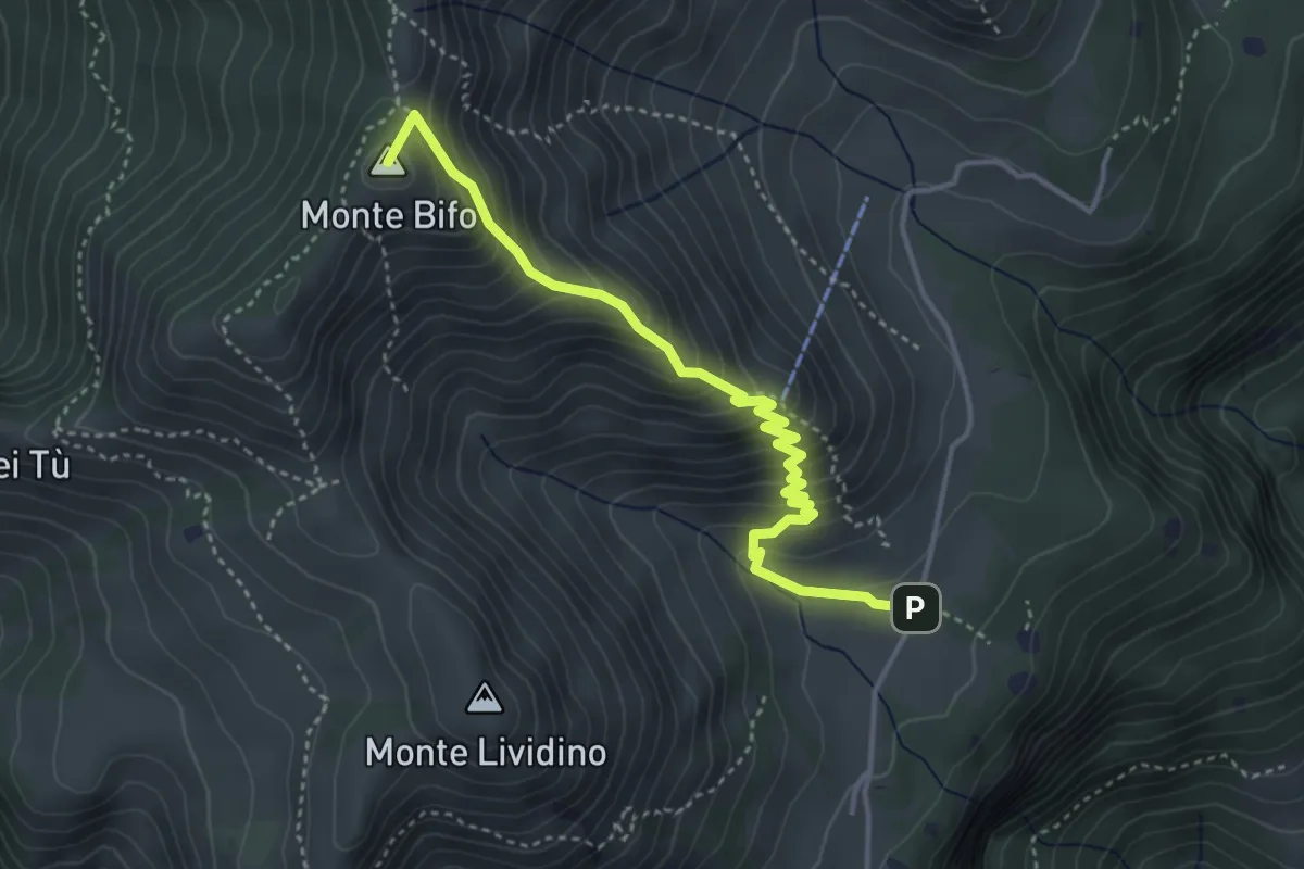
Medium · Summit
Marcheno (Piani di Caregno) – Malga Stalletti Alti (Bivio Sentiero 325)
4.1 km · ↑ 418 m · 1 h 53 min · 13 km away
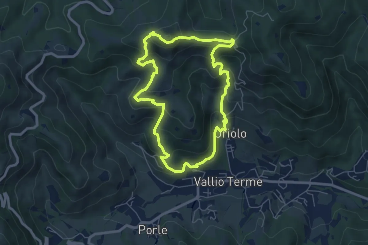
Medium · Summit
Vallio Terme (Vigle) - Rocca di Bernacco - Oriolo
5.2 km · ↑ 400 m · 2 h 11 min · 13 km away
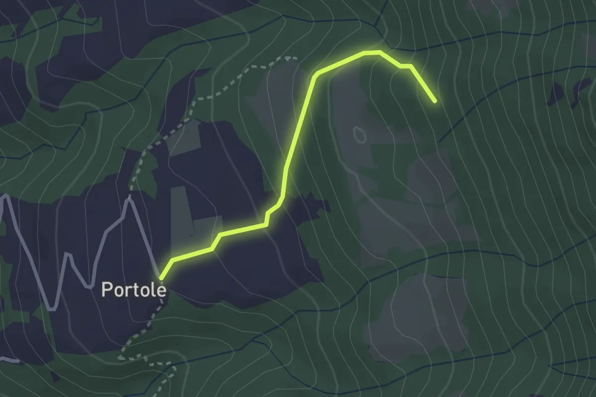
Easy · Trail
Portole – Percorso 238
2.4 km · ↑ 216 m · 1 h 2 min · 13 km away
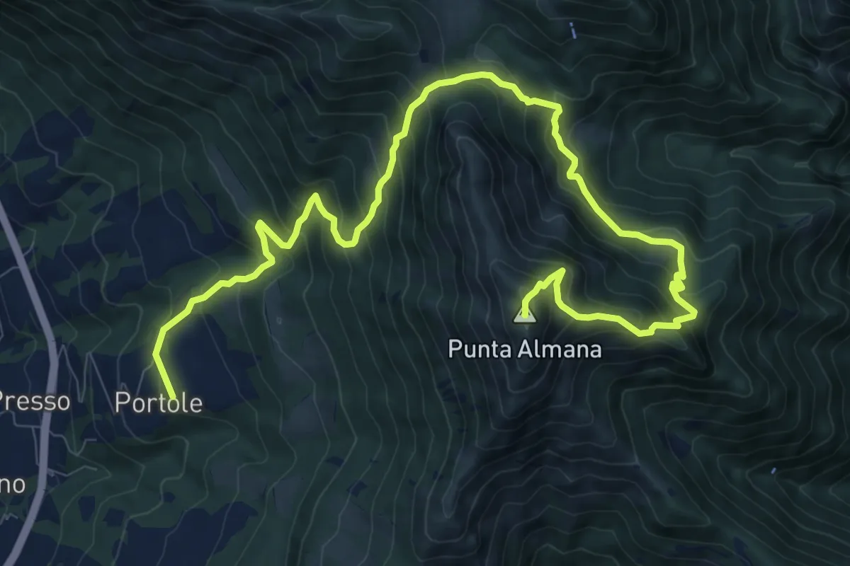
Demanding · Summit
Portole – Punta Almana
13.6 km · ↑ 1282 m · 5 h 59 min · 13 km away
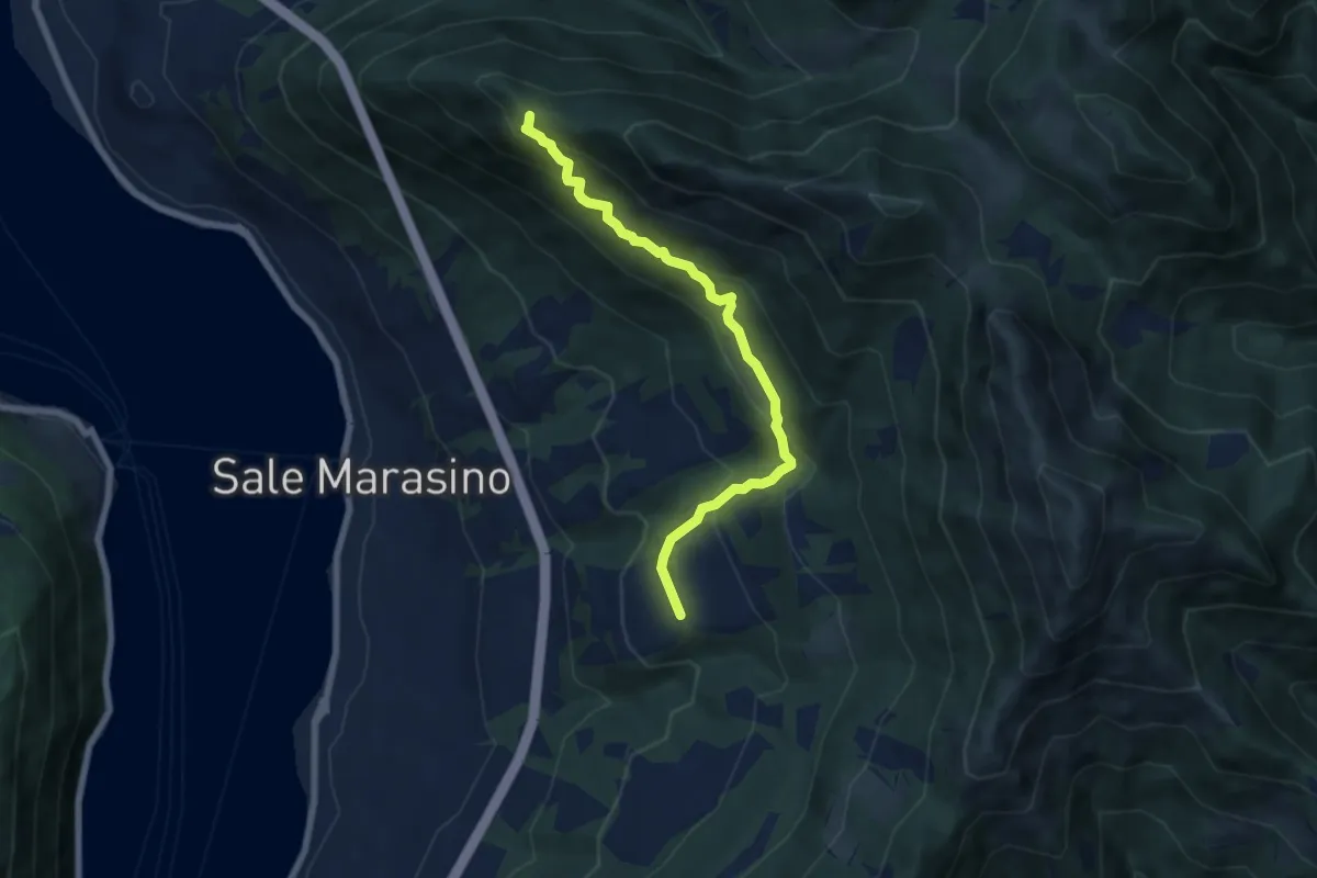
Medium · Summit
Portole – Punta dei Dossi
6.8 km · ↑ 576 m · 2 h 51 min · 13 km away
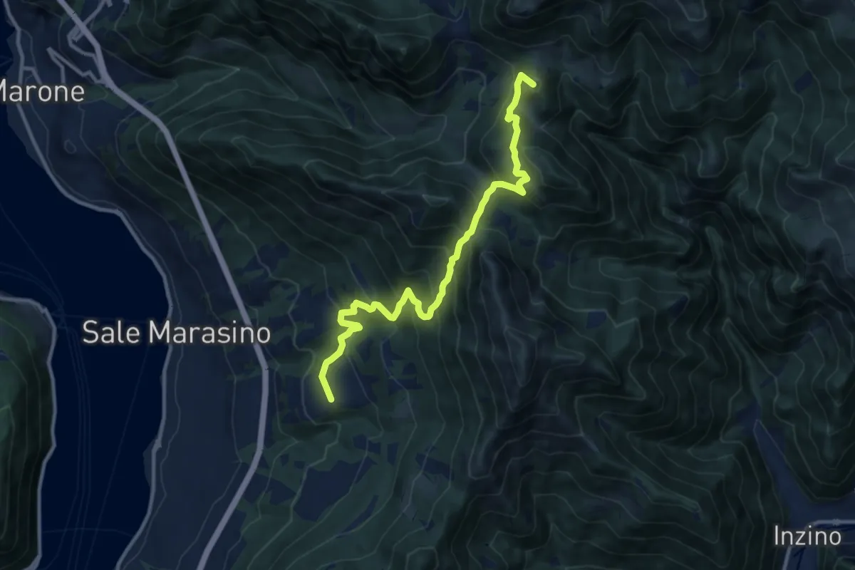
Demanding · Summit
Malghe in Rete - Trekking - Le Valli Tappa 2
11.5 km · ↑ 939 m · 4 h 45 min · 13 km away
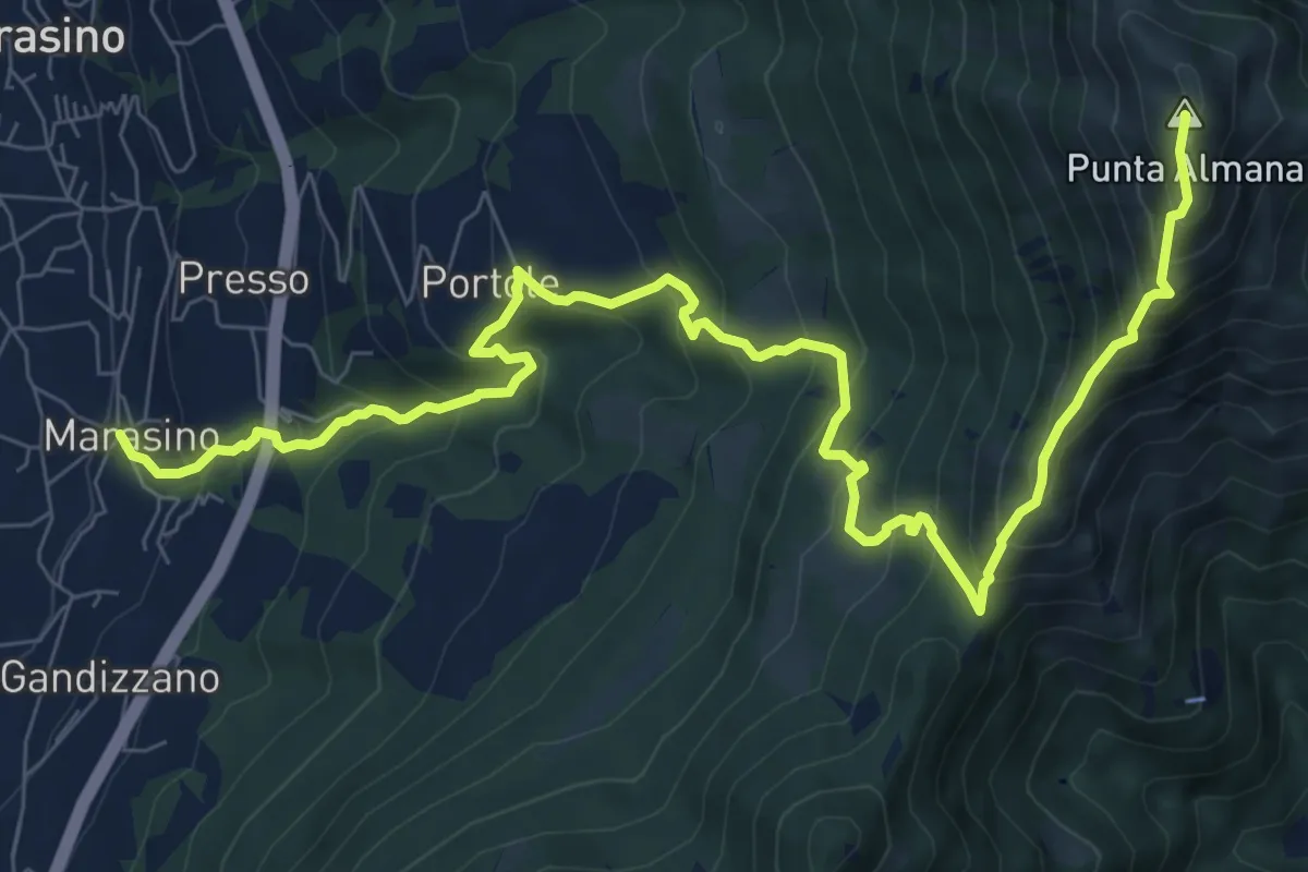
Demanding · Summit
Marasino – Punta Almana
11.4 km · ↑ 1126 m · 5 h 9 min · 14 km away
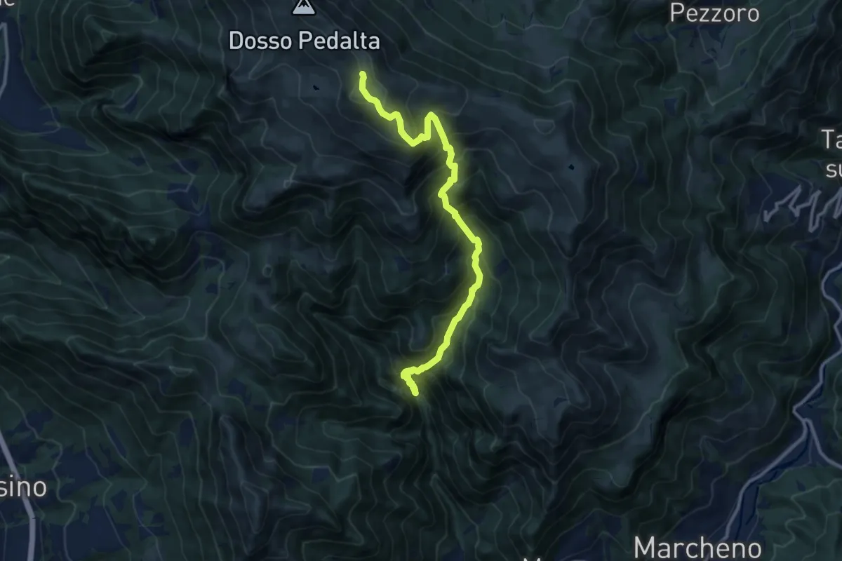
Demanding · Summit
Gardone Val Trompia (Valle di Inzino - Passo del Diavolo) – Monte Guglielmo
11.2 km · ↑ 1307 m · 5 h 28 min · 14 km away
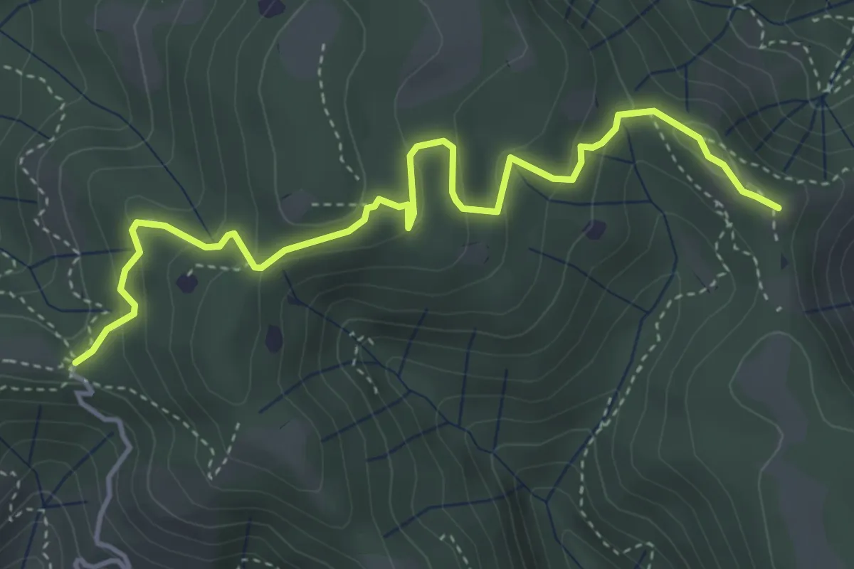
Easy · Summit
Vallio Terme (Barcolo) - Gavardo (Osteria Monte Magno)
4.7 km · ↑ 206 m · 1 h 33 min · 14 km away
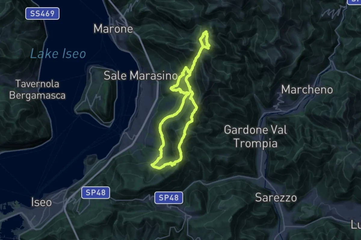
Demanding · Summit
Sentiero Brigata Giustizia e Libertà - Barnaba
18.2 km · ↑ 1346 m · 7 h 21 min · 14 km away
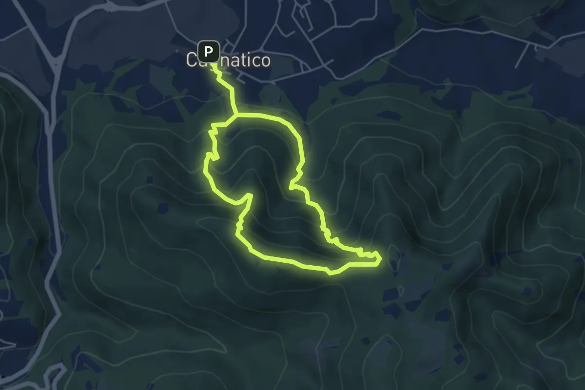
Medium · Summit
Odolo (Cagnatico) – Cagnatico
3.9 km · ↑ 360 m · 1 h 44 min · 14 km away
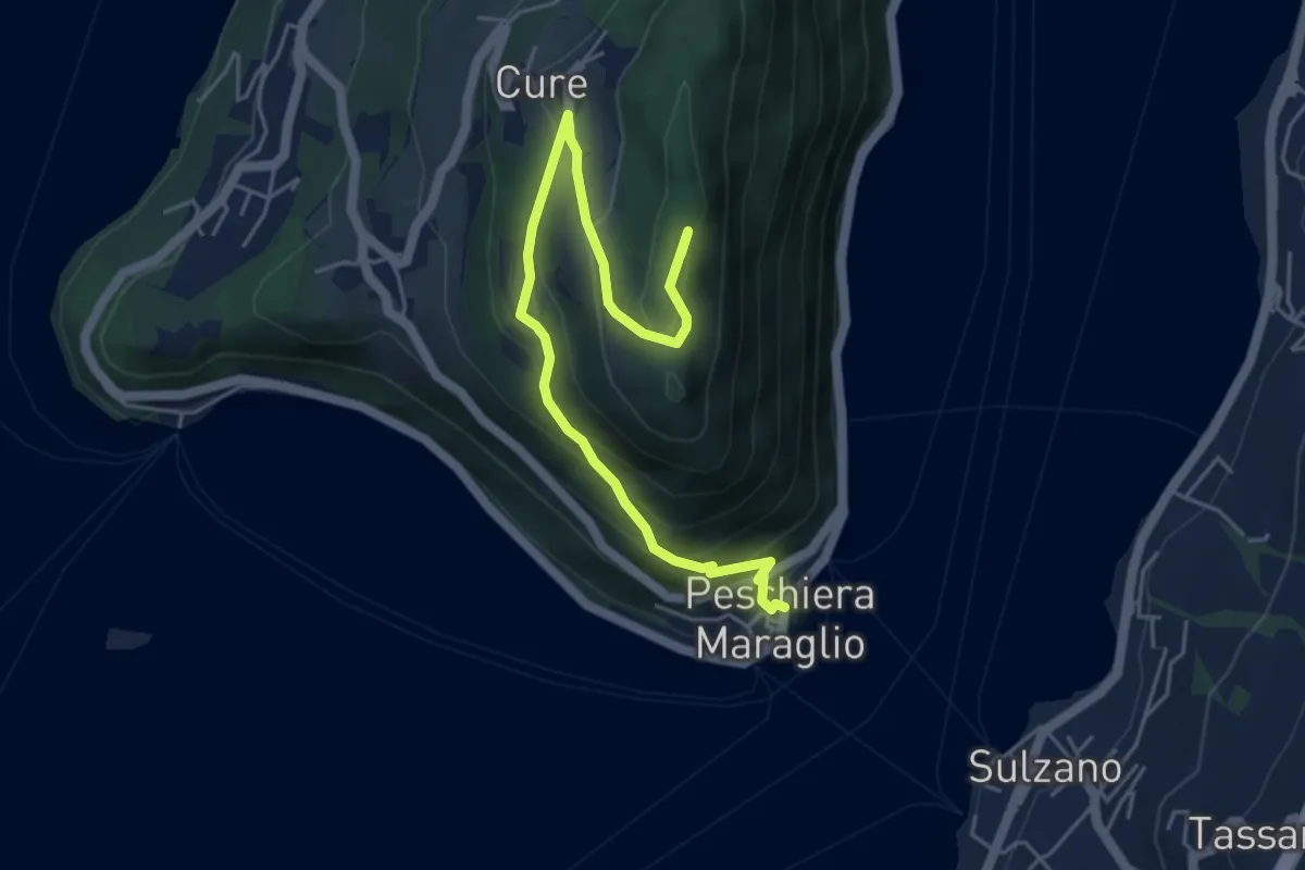
Medium · Summit
Pescheria Maraglio - Santuario della Ceriola
5.7 km · ↑ 392 m · 2 h 11 min · 14 km away
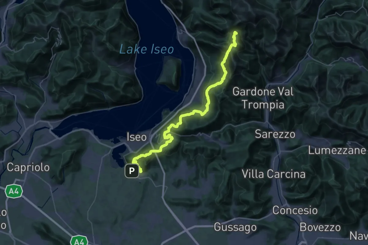
Demanding · Summit
Proai Gölem
44.7 km · ↑ 2342 m · 15 h 38 min · 14 km away
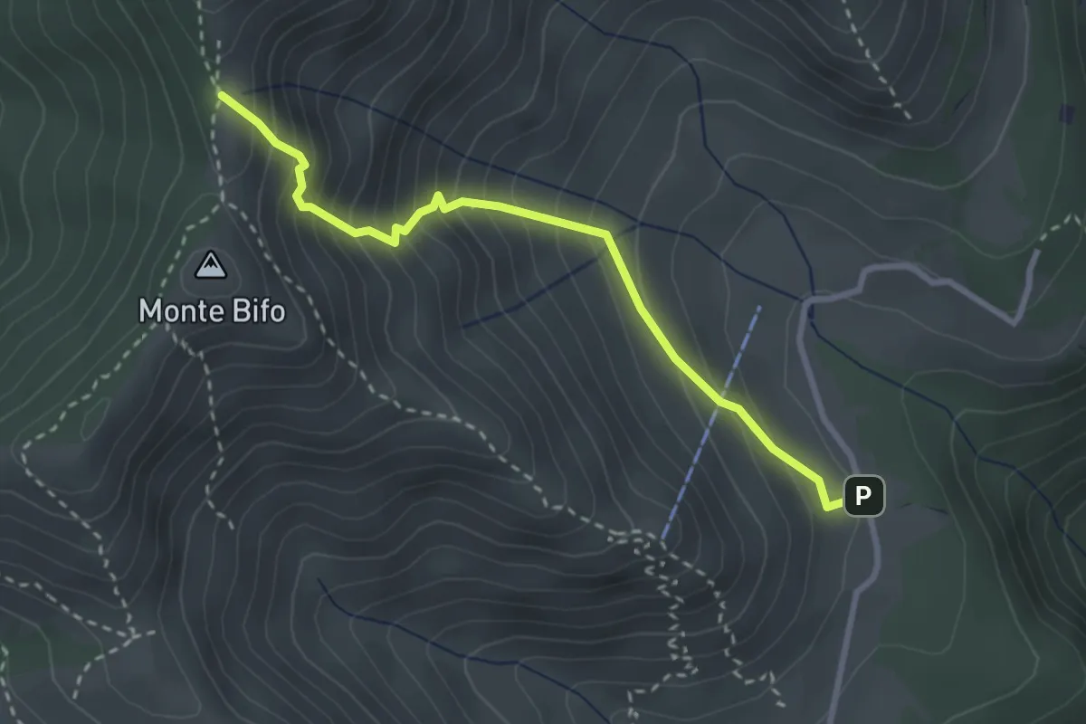
Medium · Trail
Marcheno (Piani di Caregno - Bivio Sentiero 320) – Passo dell Sabbione (Bivio Sentiero 318)
3.0 km · ↑ 387 m · 1 h 32 min · 14 km away
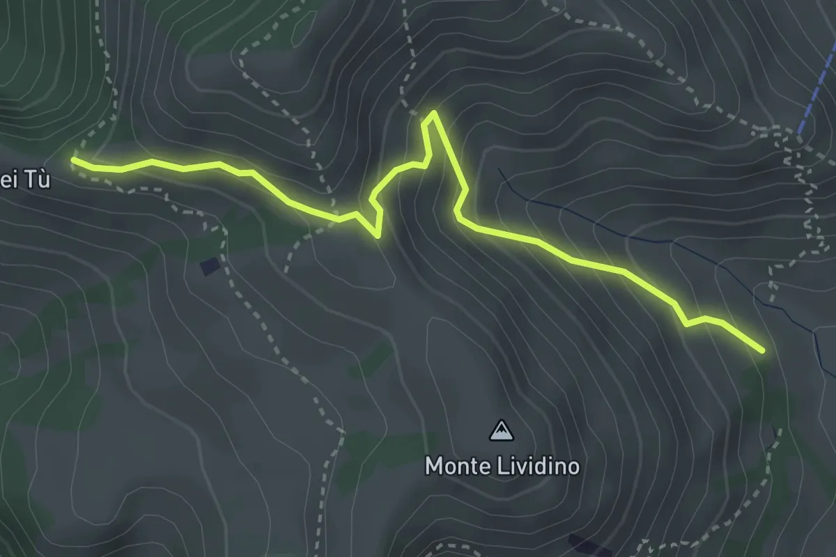
Medium · Trail
Marcheno (Piani di Caregno - Chiesetta degli Alpini) – Corni dei Tù (Bivio Sentiero 317)
3.5 km · ↑ 357 m · 1 h 37 min · 14 km away
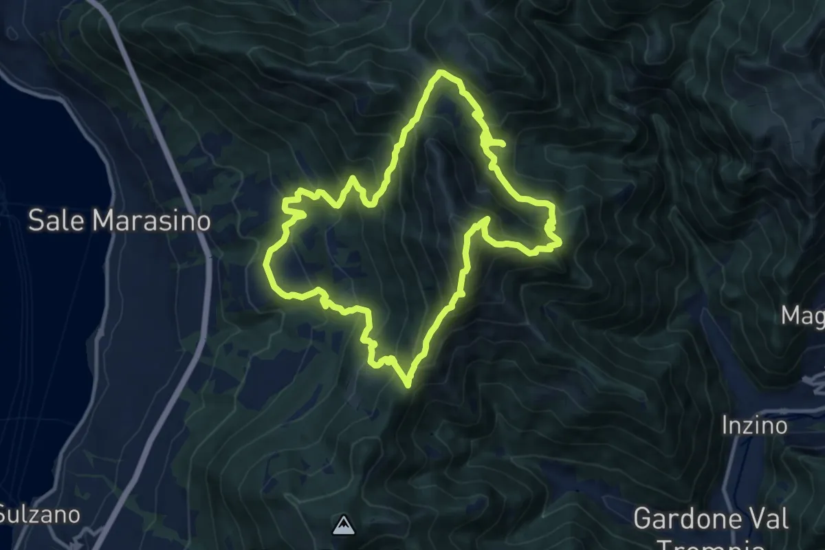
Demanding · Summit
Malghe in Rete - Anello 1 - Punta Almana
12.2 km · ↑ 1122 m · 5 h 30 min · 14 km away
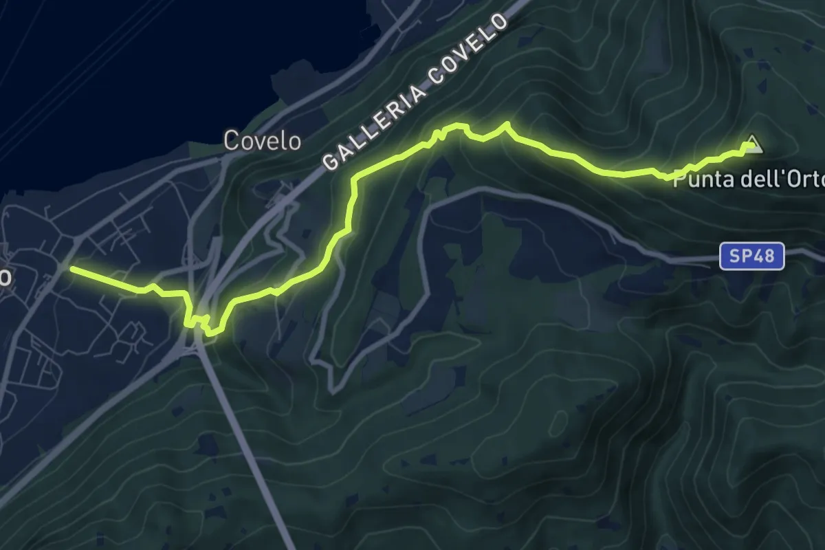
Medium · Summit
Iseo – Punta dell'Orto
9.6 km · ↑ 800 m · 4 h · 14 km away
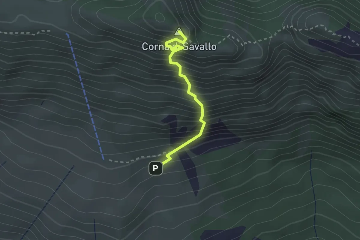
Medium · Summit
Sentiero Attrezzato Ferrata Nasego
2.1 km · ↑ 412 m · 1 h 23 min · 14 km away
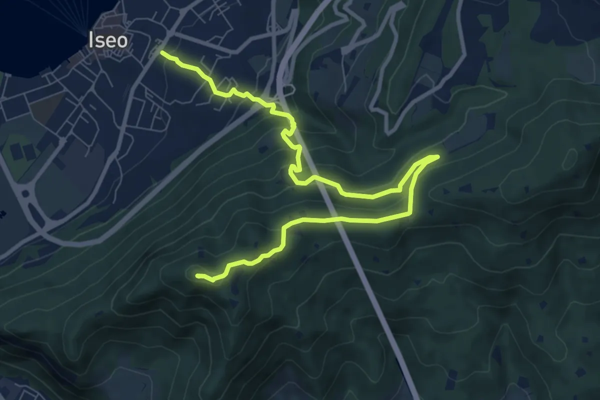
Medium · Summit
Giro delle Culme
9.9 km · ↑ 516 m · 3 h 28 min · 14 km away
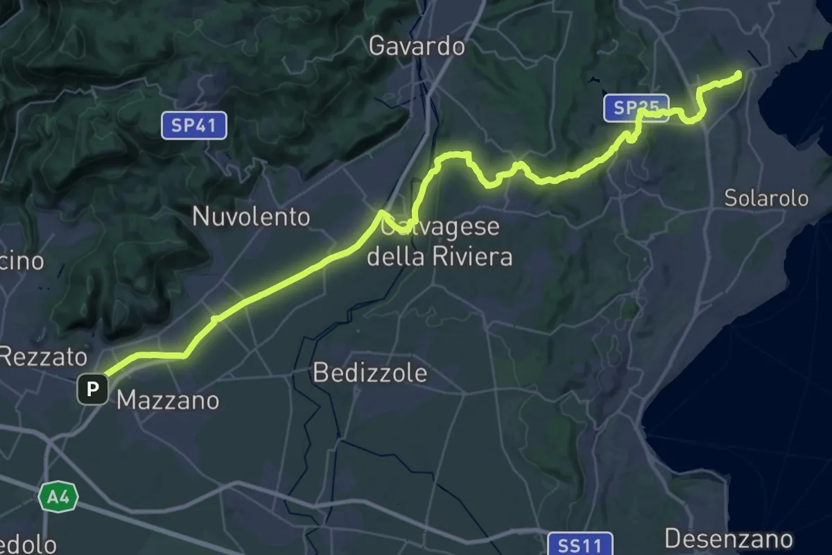
Demanding · Summit
Via della Valtenesi
46.5 km · ↑ 468 m · 11 h 59 min · 14 km away
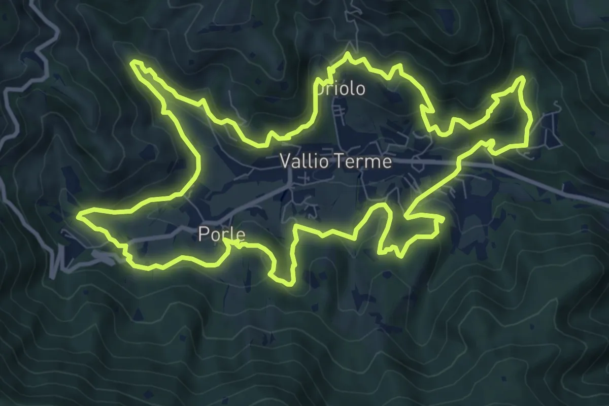
Medium · Trail
Giro delle contrade
11.6 km · ↑ 525 m · 4 h 2 min · 14 km away
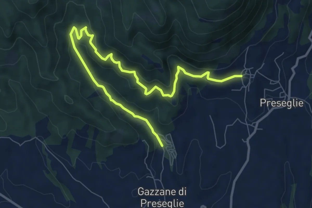
Medium · Trail
Loc. Piazza - Preseglie – Loc. Galaello - Gazzane
9.6 km · ↑ 509 m · 3 h 21 min · 14 km away
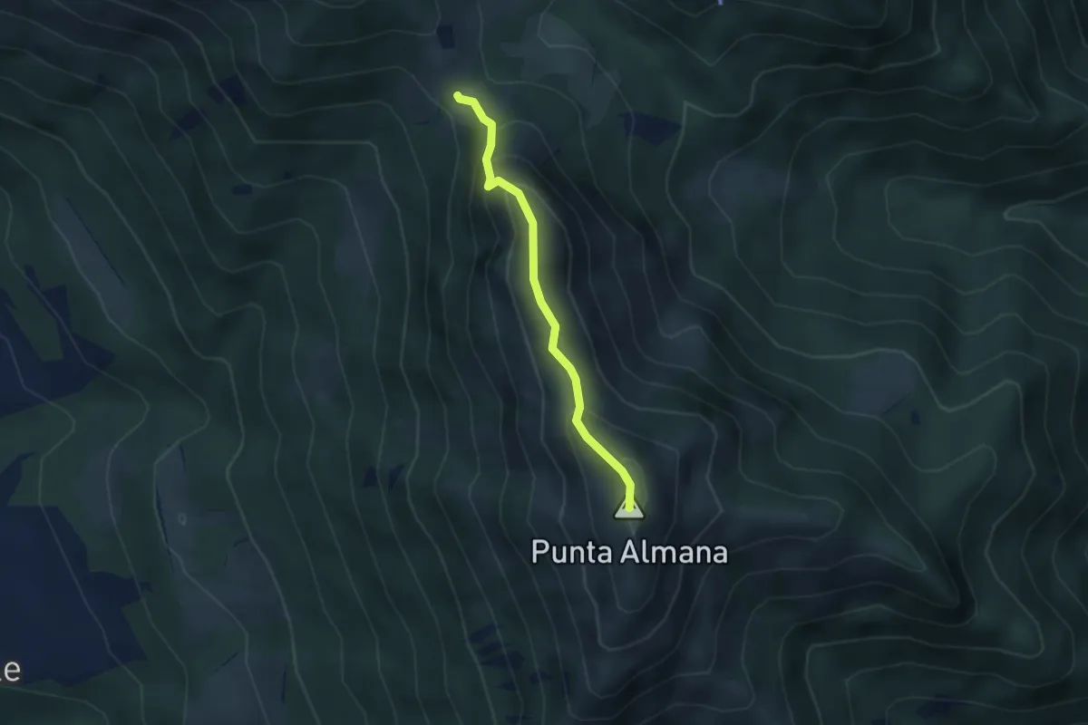
Expert · Summit
Sentiero Filippo Benedetti
2.8 km · ↑ 244 m · 1 h 12 min · 14 km away