Trails near Conegliano
29 hikes starting within 15 km, nearest first.
Nearest first
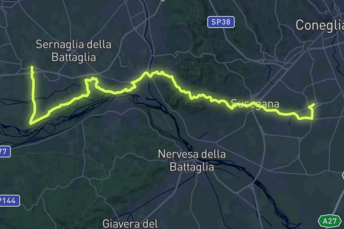
Demanding · Pilgrim path
Cammino del Beato Claudio 01
23.0 km · ↑ 300 m · 6 h 22 min · 4 km away
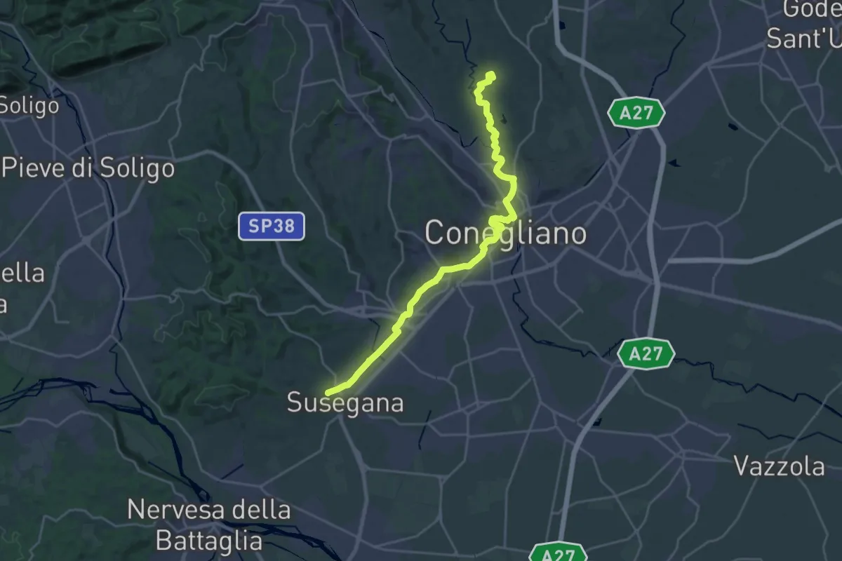
Demanding · Trail
Il Cammino di Sant'Antonio - Tappa 07G
23.4 km · ↑ 265 m · 6 h 7 min · 6 km away
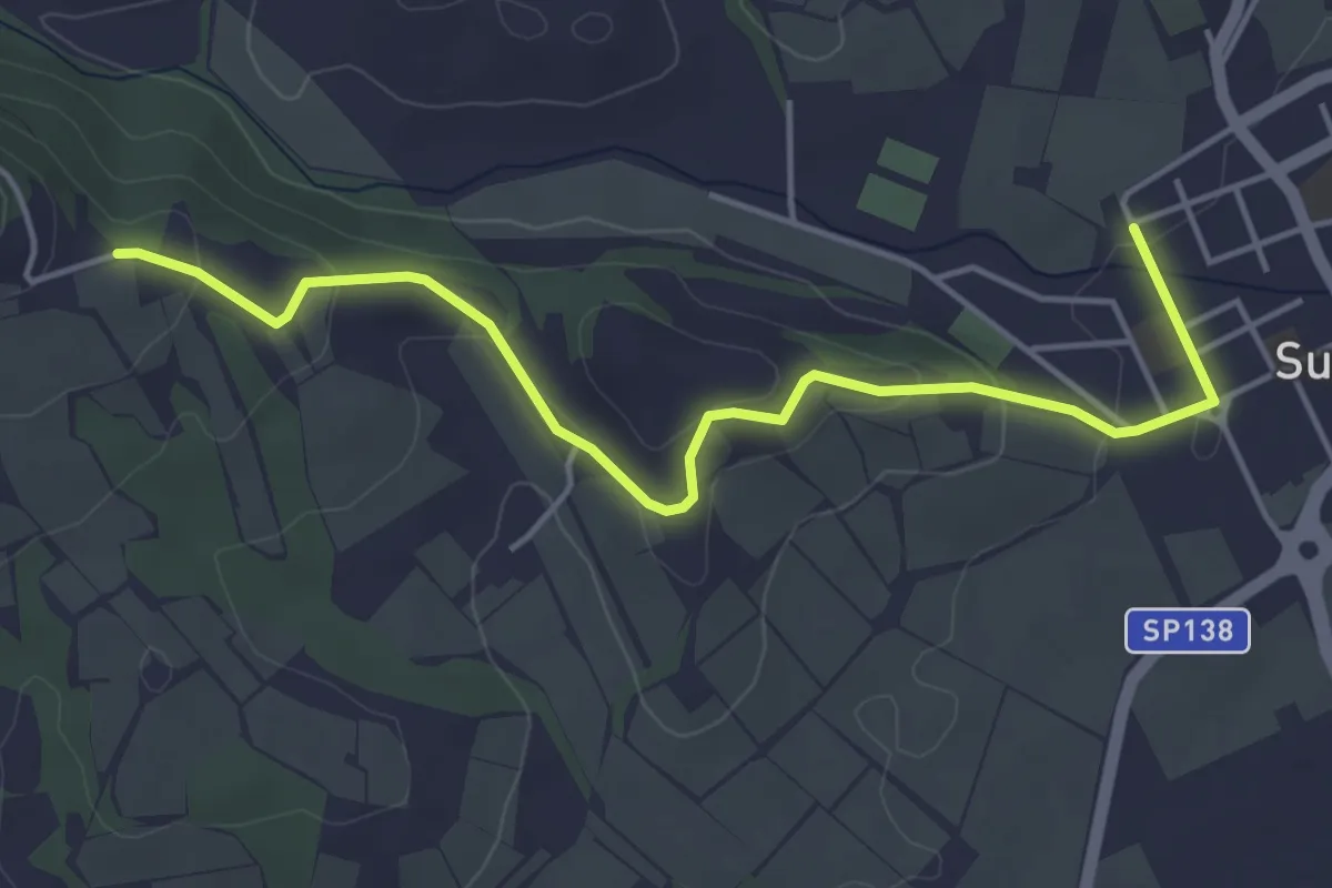
Easy · Trail
Il Cammino di Sant'Antonio - Tappa 08G
5.0 km · ↑ 129 m · 1 h 27 min · 6 km away
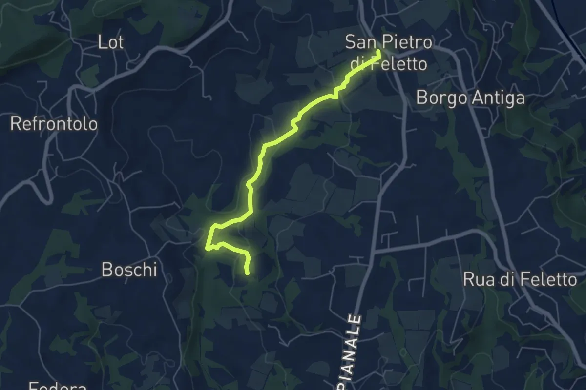
Easy · Trail
Val Trippera
5.2 km · ↑ 168 m · 1 h 36 min · 7 km away
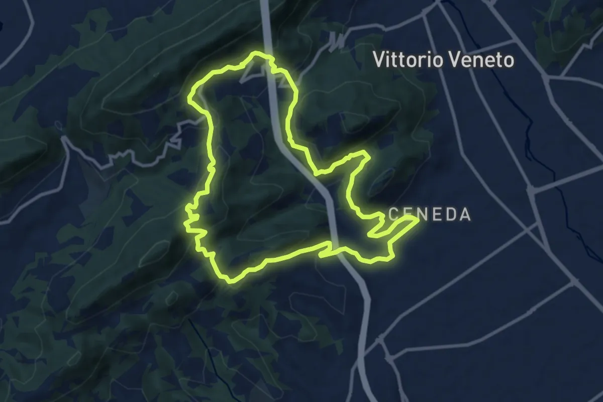
Medium · Summit
V13 - Perdonanzestellung
9.5 km · ↑ 496 m · 3 h 27 min · 10 km away
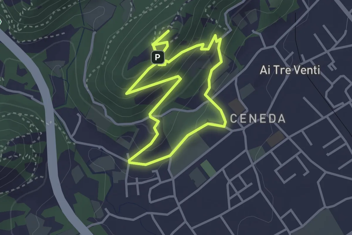
Easy · Summit
V11 - Colle San Paolo
2.7 km · ↑ 152 m · 1 h 1 min · 10 km away
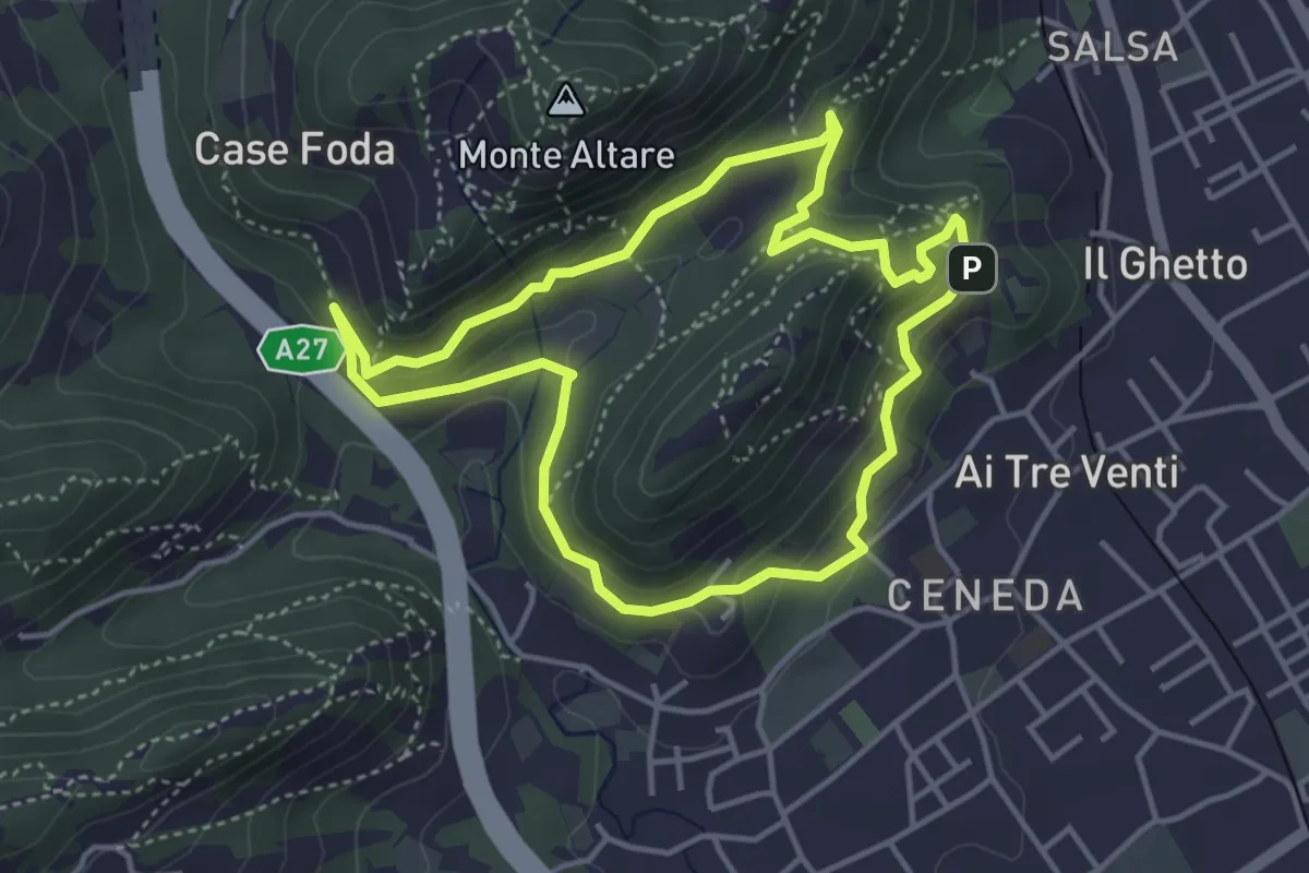
Easy · Summit
Ceneda - San Rocco - Case Posoccon - Castello di San Martino
4.0 km · ↑ 209 m · 1 h 27 min · 11 km away
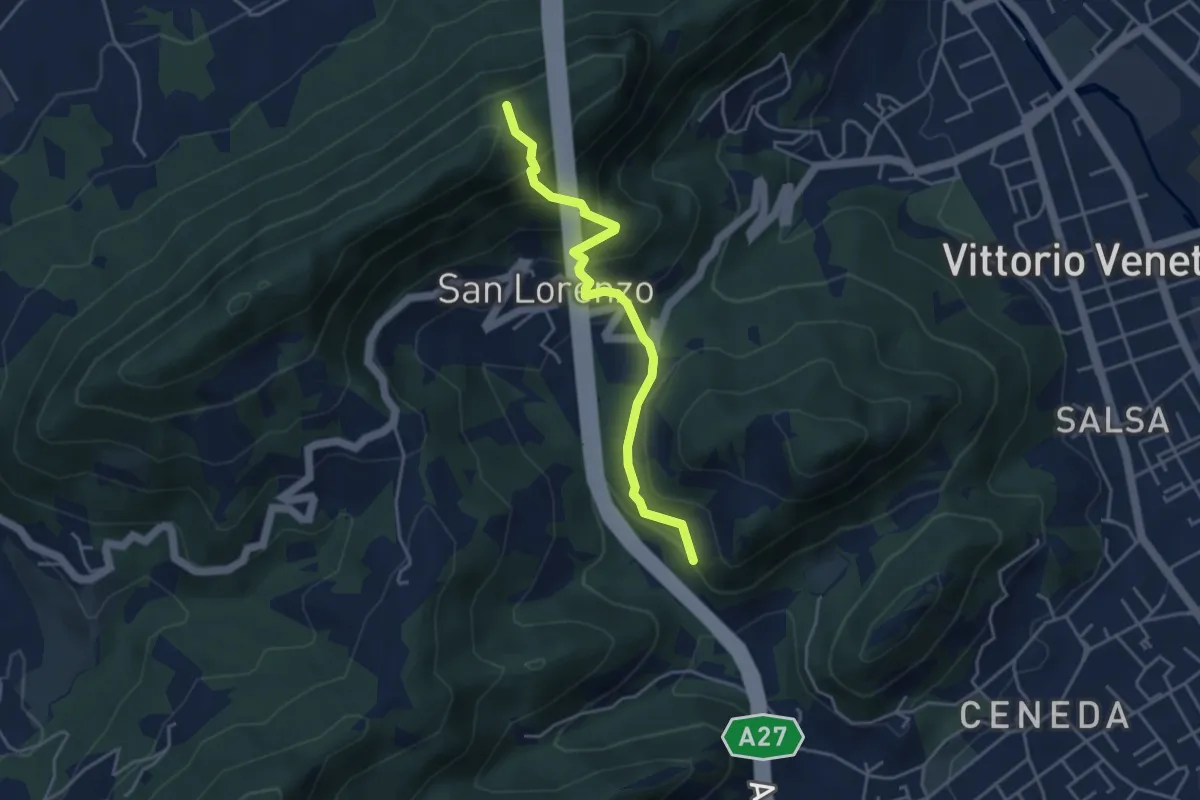
Medium · Trail
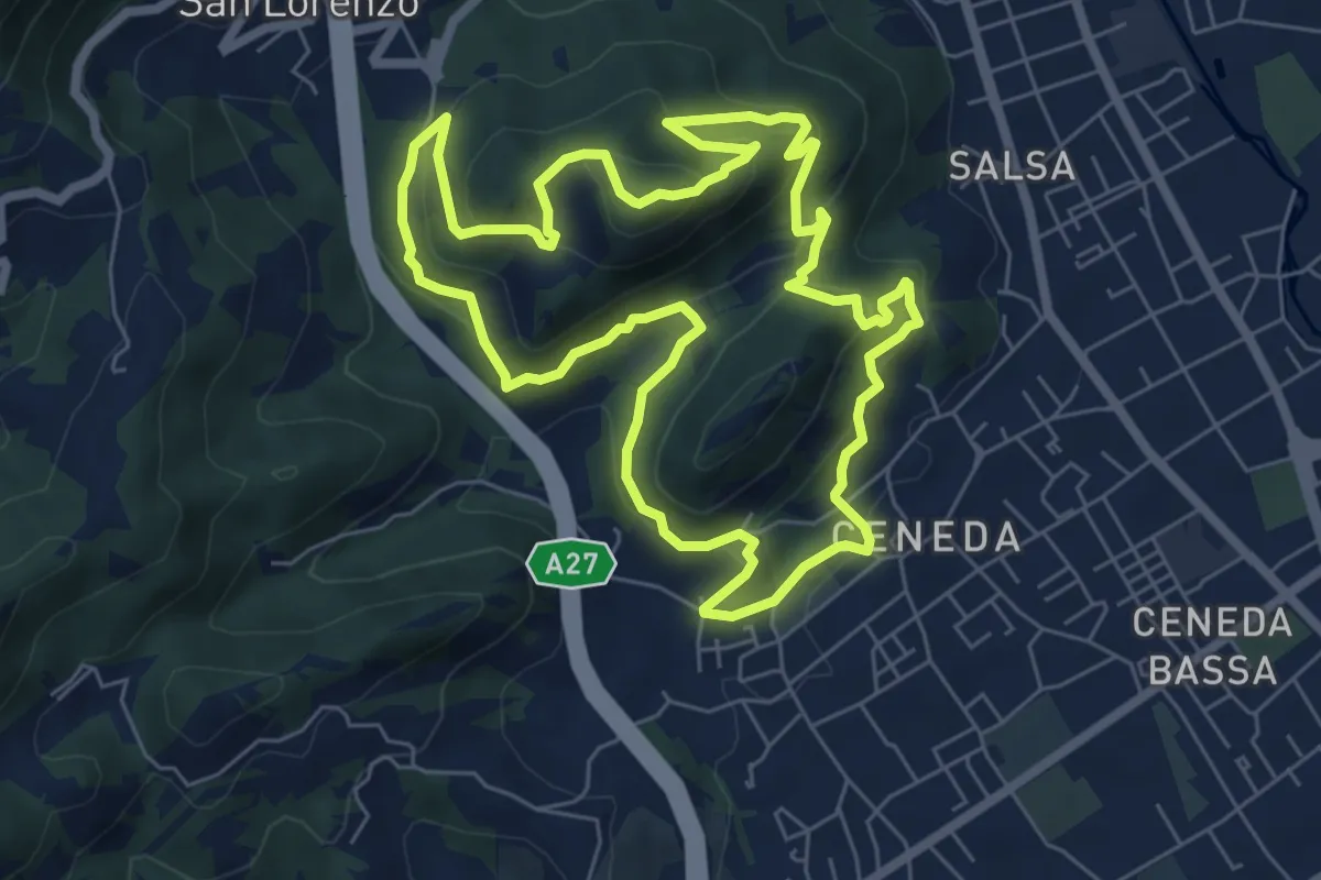
Raccordi sent. 1041 / 1042 – Borgo Vignola - Loc. S. Lorenzo
4.1 km · ↑ 325 m · 1 h 40 min · 11 km away
Medium · Summit
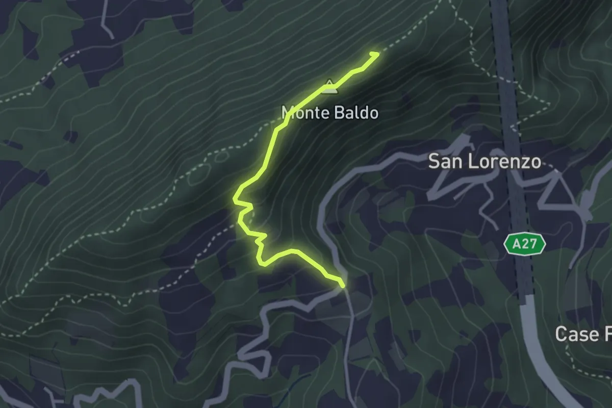
Ceneda - Piazza Giovanni Paolo I – Ceneda - Piazza Giovanni Paolo I
7.0 km · ↑ 416 m · 2 h 40 min · 11 km away
Medium · Summit
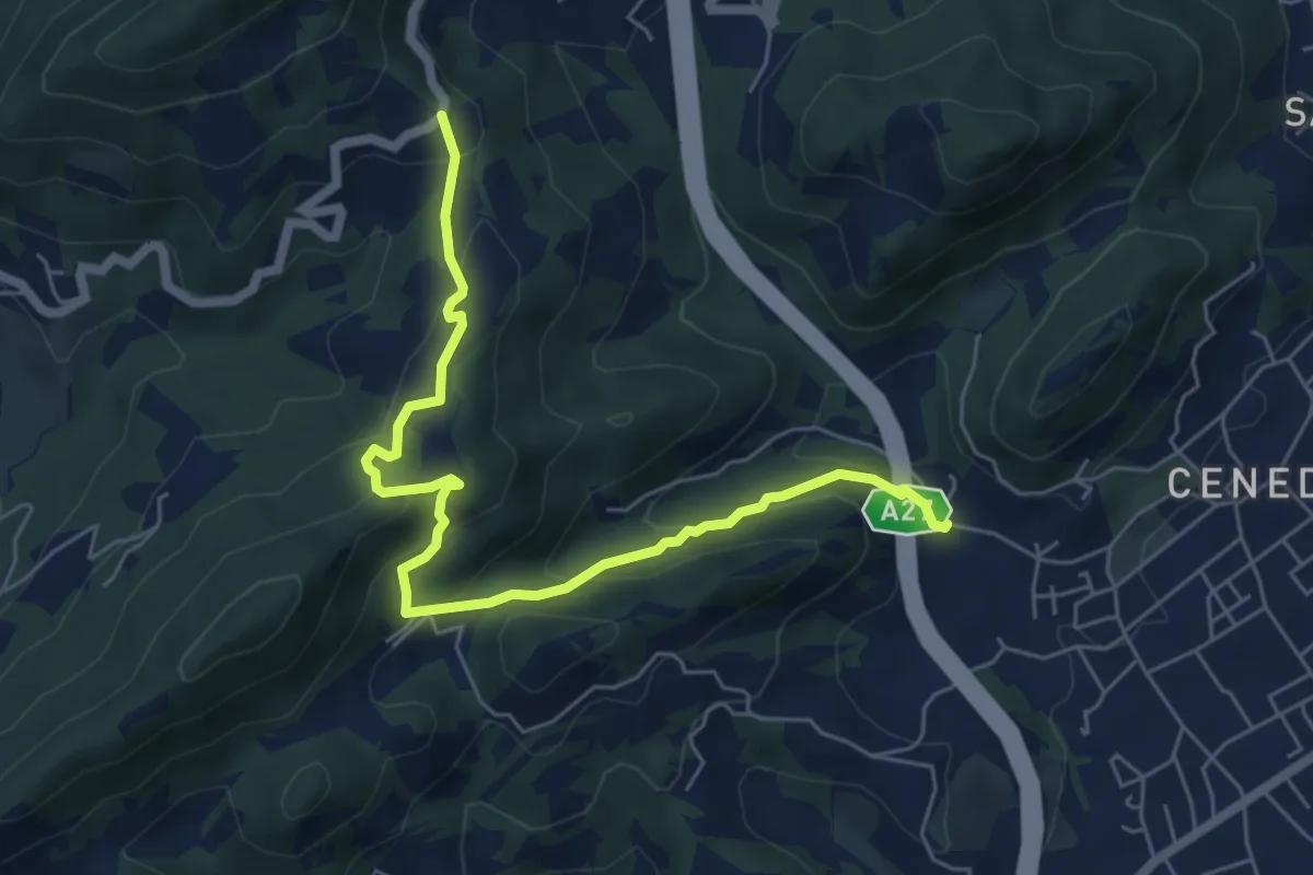
Monte Baldo
2.9 km · ↑ 190 m · 1 h 5 min · 11 km away
Medium · Trail
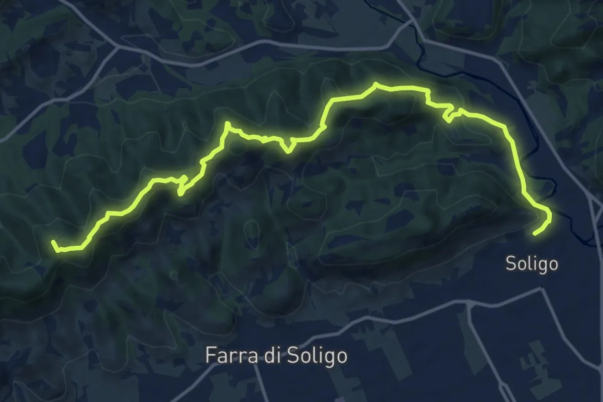
Montebello - Borgo Castagnè - Monte Baldo - Borgo Vignola
6.6 km · ↑ 398 m · 2 h 26 min · 11 km away
Medium · Summit
Sentiero delle Vedette
14.5 km · ↑ 664 m · 4 h 51 min · 11 km away
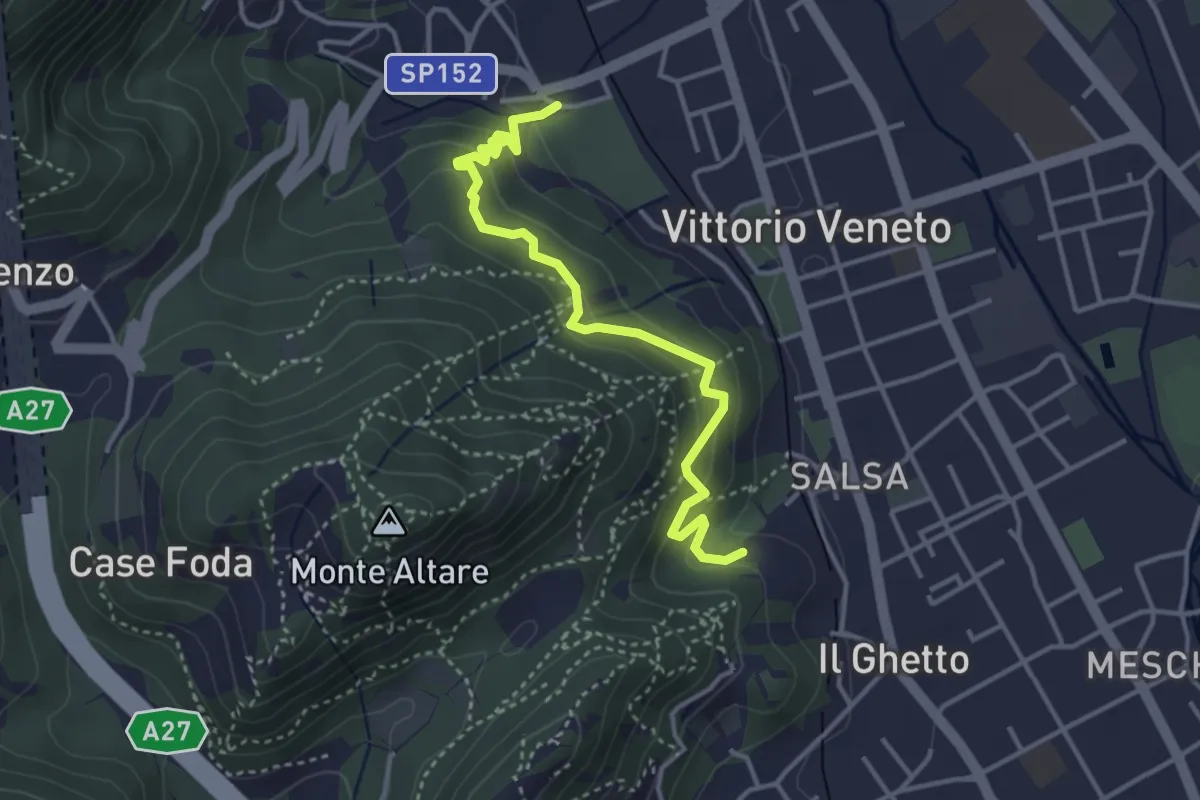
Easy · Trail
Sentiero del Monte Altare
3.8 km · ↑ 254 m · 1 h 27 min · 12 km away
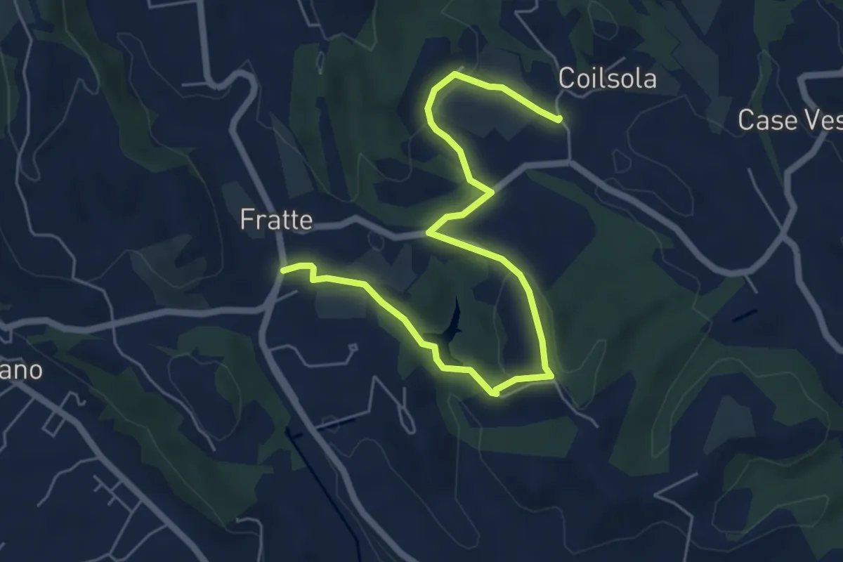
Easy · Trail
Sentiero del Torchiato
6.6 km · ↑ 221 m · 2 h 2 min · 12 km away
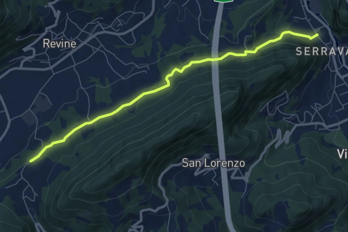
Easy · Trail
Via dell'acqua
7.0 km · ↑ 230 m · 2 h 10 min · 12 km away
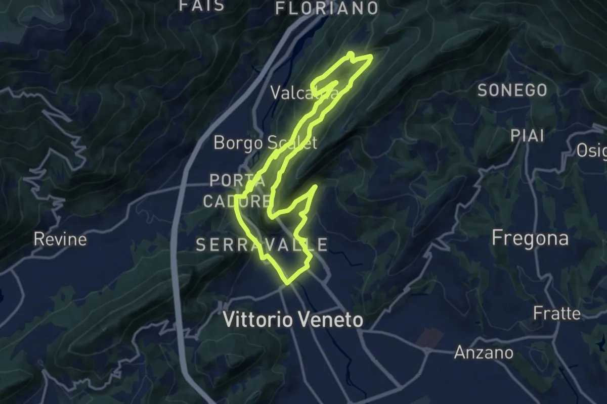
Medium · Trail
L'Anello di Santa Augusta
11.3 km · ↑ 434 m · 3 h 45 min · 12 km away
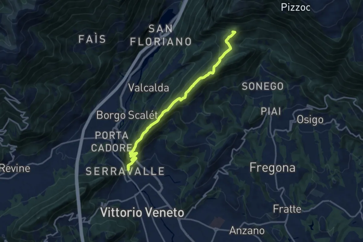
Medium · Summit
Vittorio Veneto - Santuario Santa Augusta – Casera Prese (Farra d'Alpago)
11.5 km · ↑ 786 m · 4 h 25 min · 13 km away
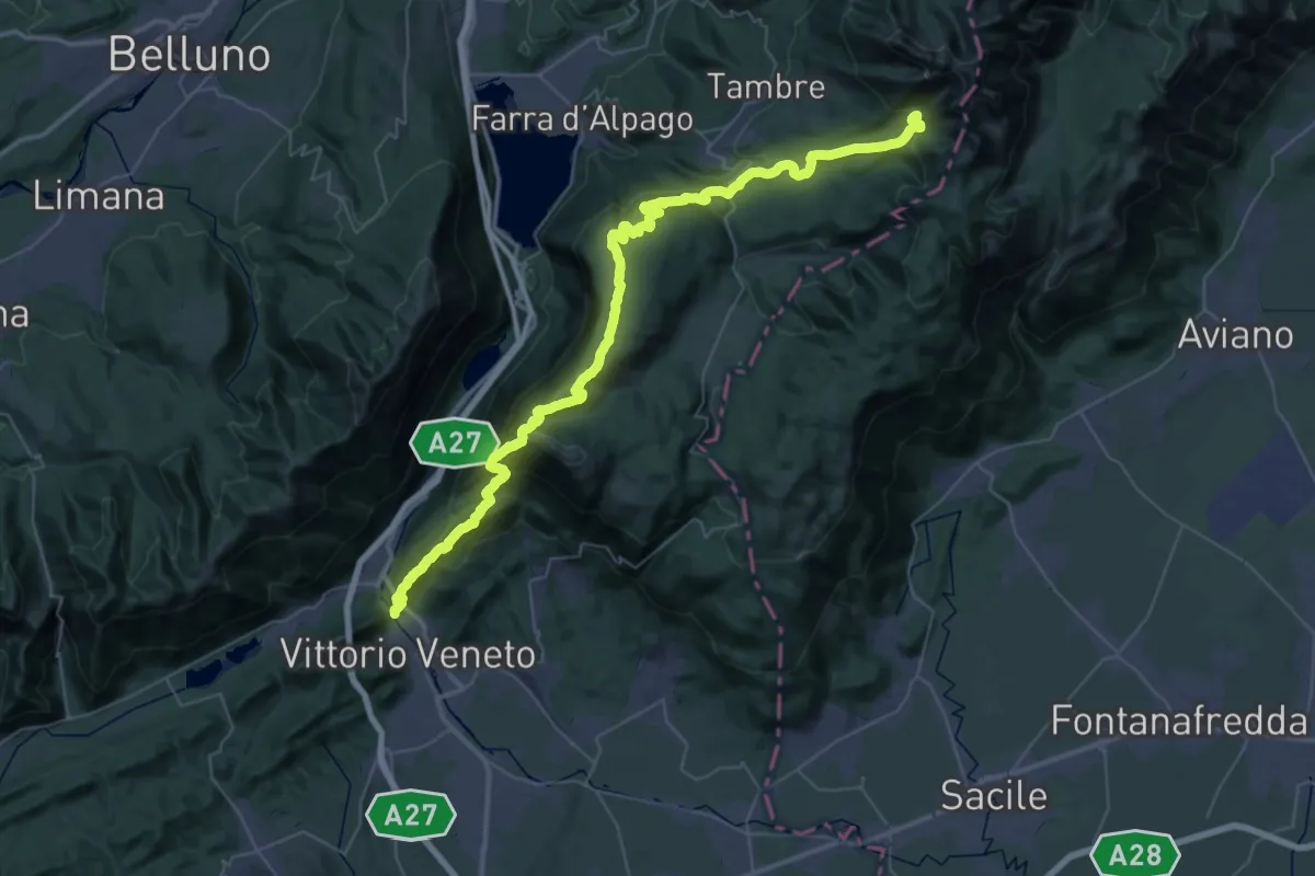
Demanding · Summit
Alta via n. 6 delle Dolomiti - XI tappa
56.9 km · ↑ 3078 m · 20 h 7 min · 13 km away
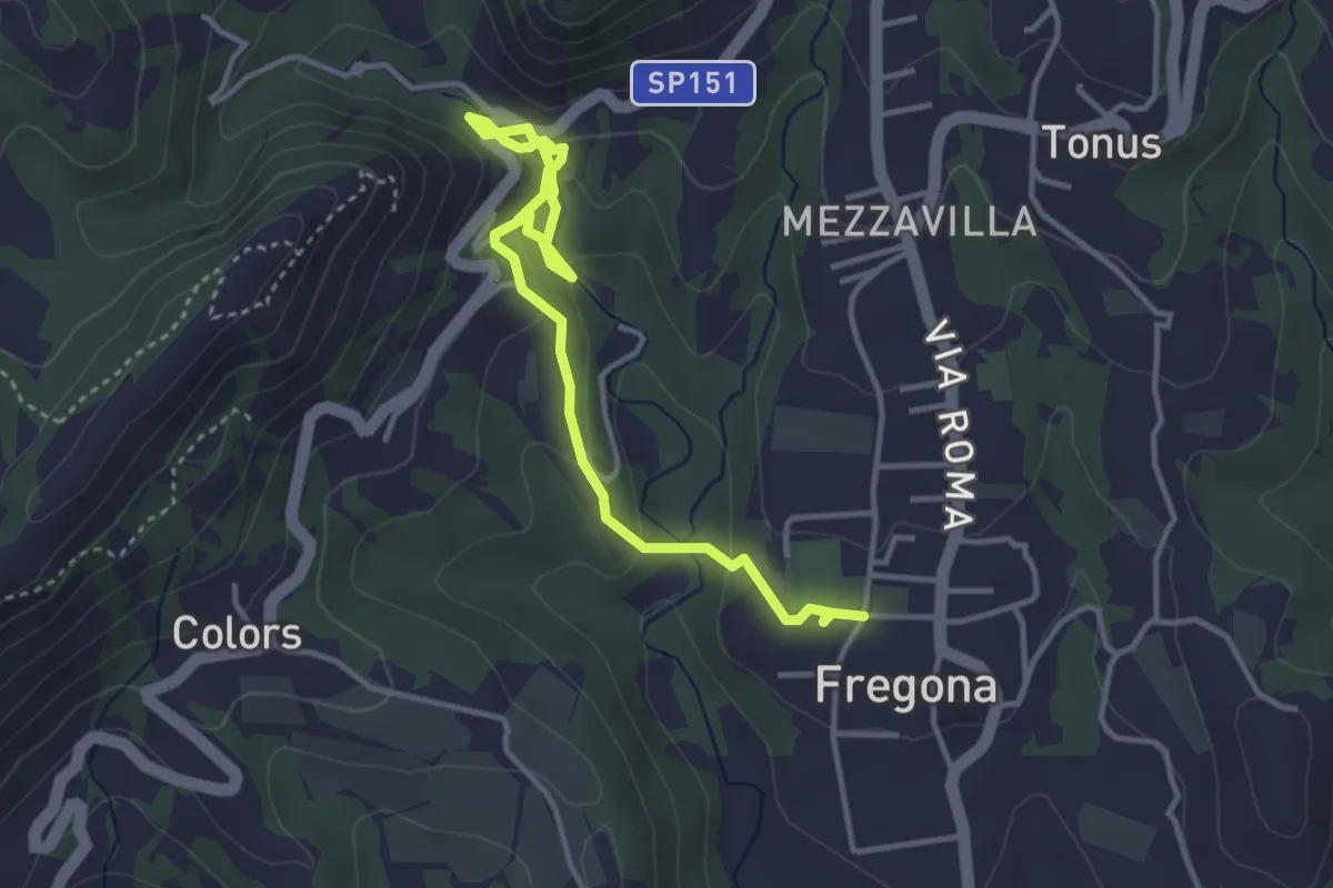
Easy · Trail
Grotte del Caglieron
4.2 km · ↑ 184 m · 1 h 23 min · 13 km away
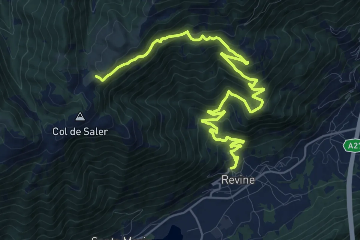
Demanding · Trail
Tag 24 V2 Traumpfad München Venedig
16.8 km · ↑ 994 m · 6 h 7 min · 13 km away
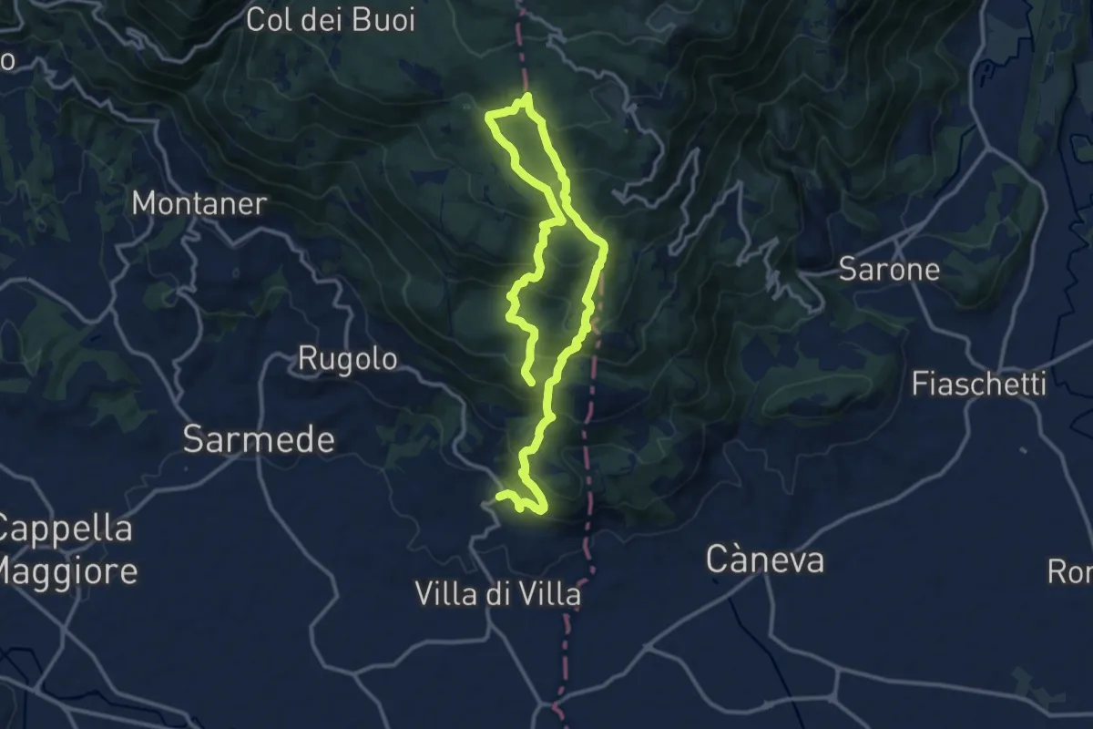
Demanding · Summit
Strada del Patriarca
18.4 km · ↑ 1210 m · 6 h 58 min · 13 km away
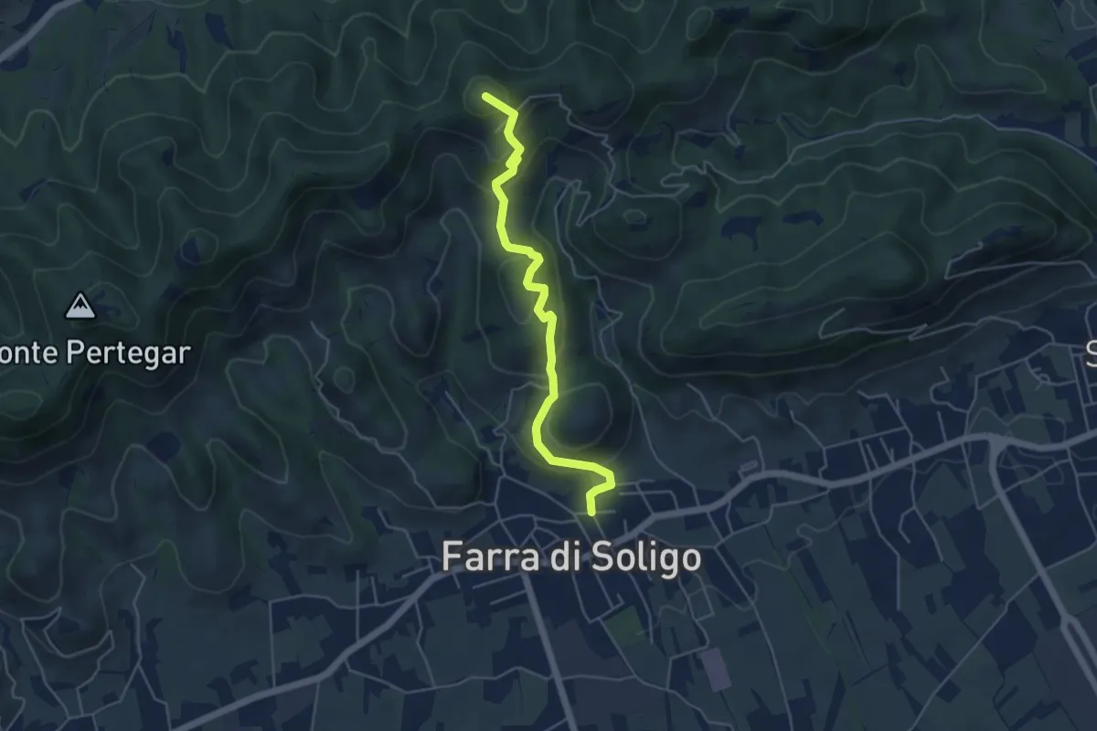
Medium · Summit
Sentiero delle Crepe
4.8 km · ↑ 331 m · 1 h 52 min · 13 km away
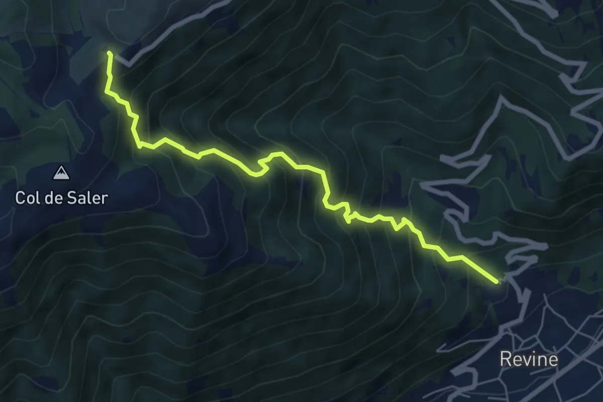
Medium · Trail
Revine Lago – Pian de le Femene
6.0 km · ↑ 788 m · 3 h 7 min · 14 km away
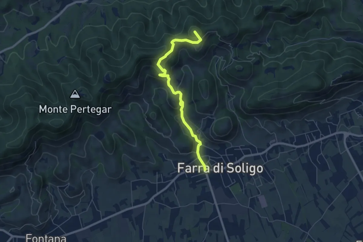
Medium · Summit
Le Costalliere
6.0 km · ↑ 335 m · 2 h 9 min · 14 km away
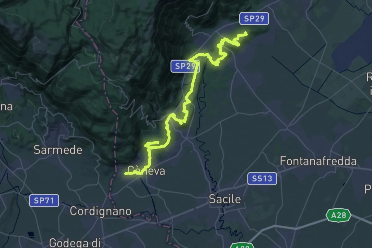
Demanding · Summit
Cammino di San Cristoforo - Tappa 1
42.8 km · ↑ 1171 m · 12 h 39 min · 14 km away
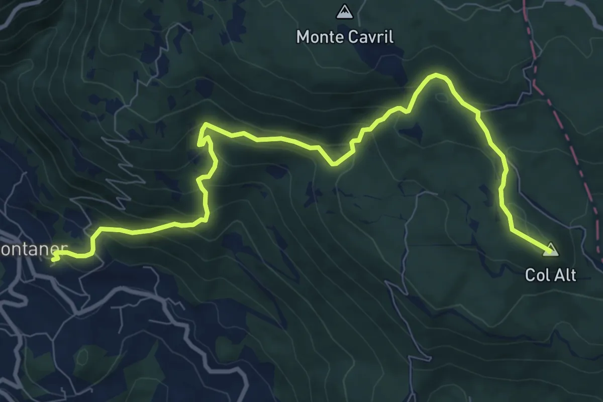
Medium · Summit
Sentiero Pagnoca
10.2 km · ↑ 694 m · 3 h 55 min · 14 km away
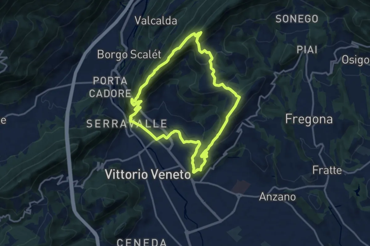
Medium · Trail
V2 - Il Giro delle Due Coste
10.1 km · ↑ 670 m · 3 h 59 min · 14 km away
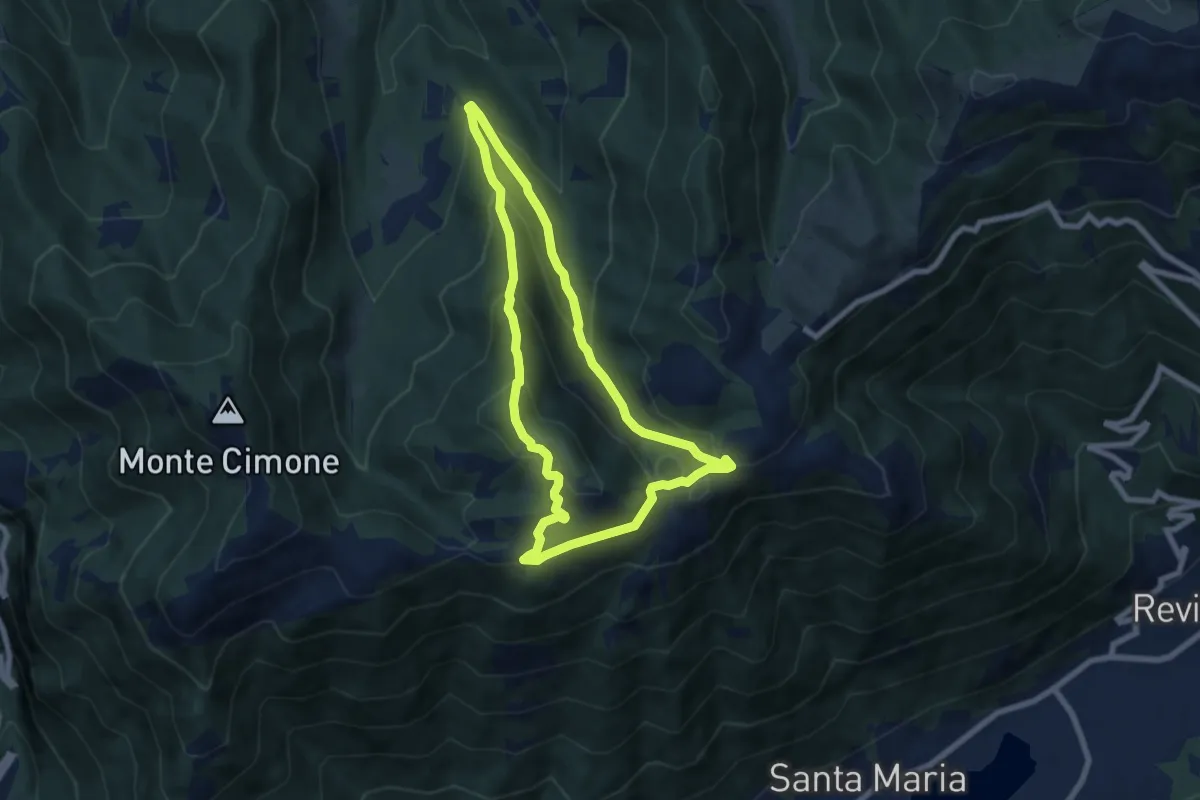
Medium · Summit
Anello del Monte Boral
6.6 km · ↑ 375 m · 2 h 28 min · 15 km away
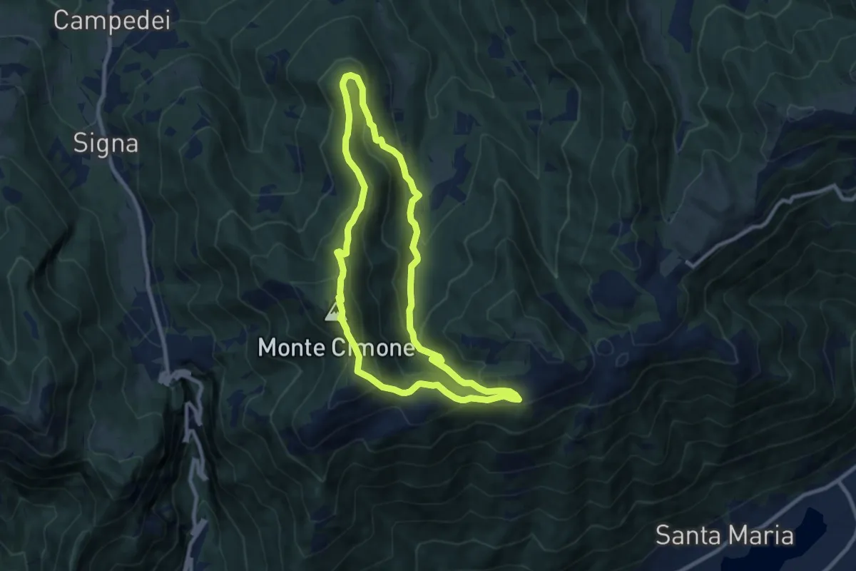
Medium · Summit
Anello Col dei Gai - Monte Cimone - Posa
8.3 km · ↑ 460 m · 3 h 4 min · 15 km away