Trails near Conselve
18 hikes starting within 15 km, nearest first.
Nearest first
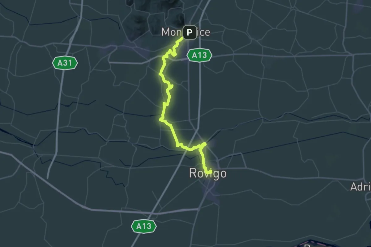
Demanding · Pilgrim path
Il Cammino di Sant'Antonio: Tappa 3
33.9 km · ↑ 17 m · 8 h 32 min · 9 km away
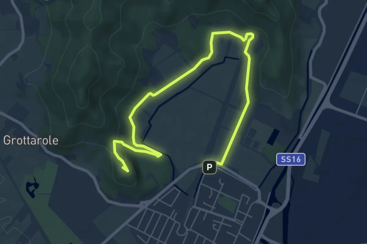
Medium · Summit
Sentiero Ferro di Cavallo
7.6 km · ↑ 168 m · 2 h 10 min · 10 km away
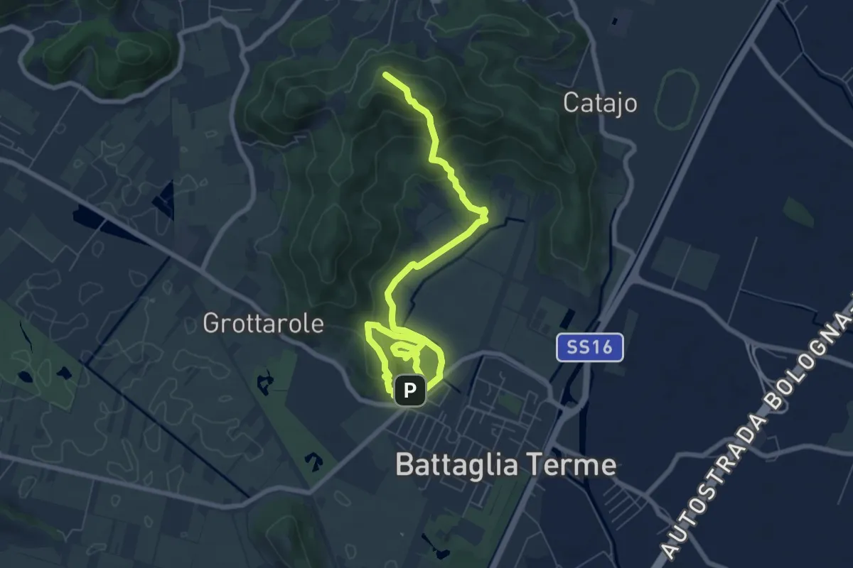
Expert · Summit
Sentiero Cava Monte Croce Sentiero delle Creste
9.6 km · ↑ 431 m · 3 h 12 min · 10 km away
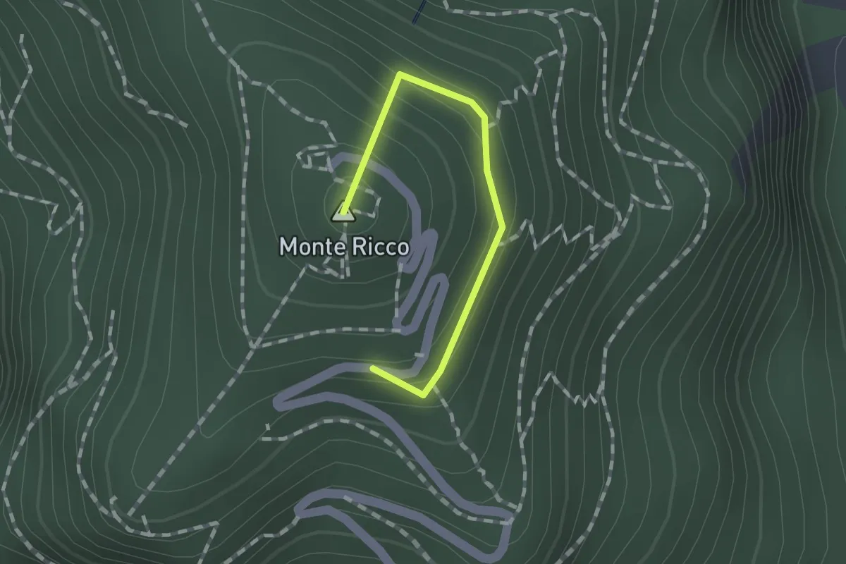
Easy · Summit
Raccordo
1.2 km · ↑ 84 m · 27 min · 11 km away
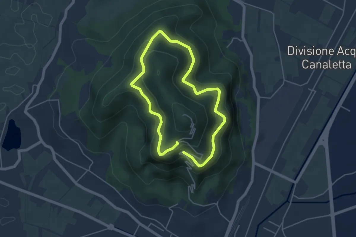
Easy · Summit
Sentiero 6 del Monte Ricco e del Monte Castello
3.5 km · ↑ 256 m · 1 h 27 min · 11 km away
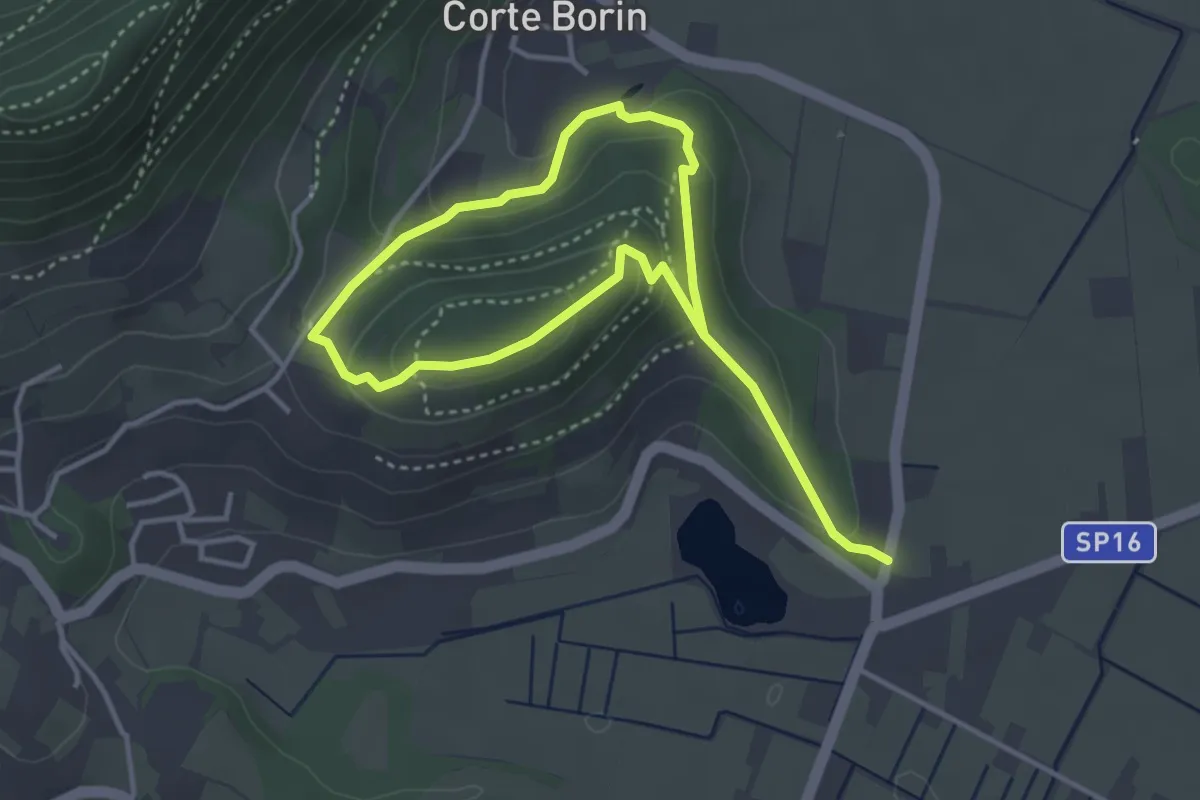
Medium · Summit
Sentiero del Monte Calbarina e Monte Piccolo
2.9 km · ↑ 161 m · 1 h 3 min · 11 km away
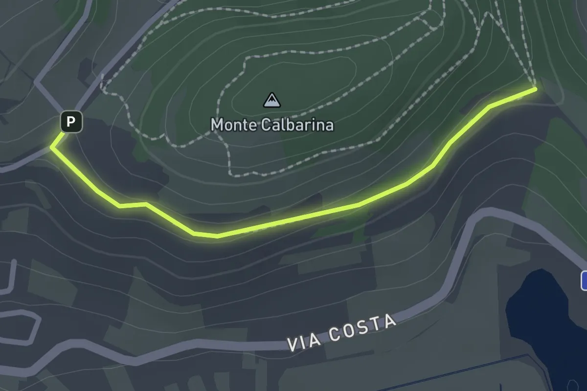
Easy · Trail
Raccordo
2.0 km · ↑ 34 m · 33 min · 12 km away
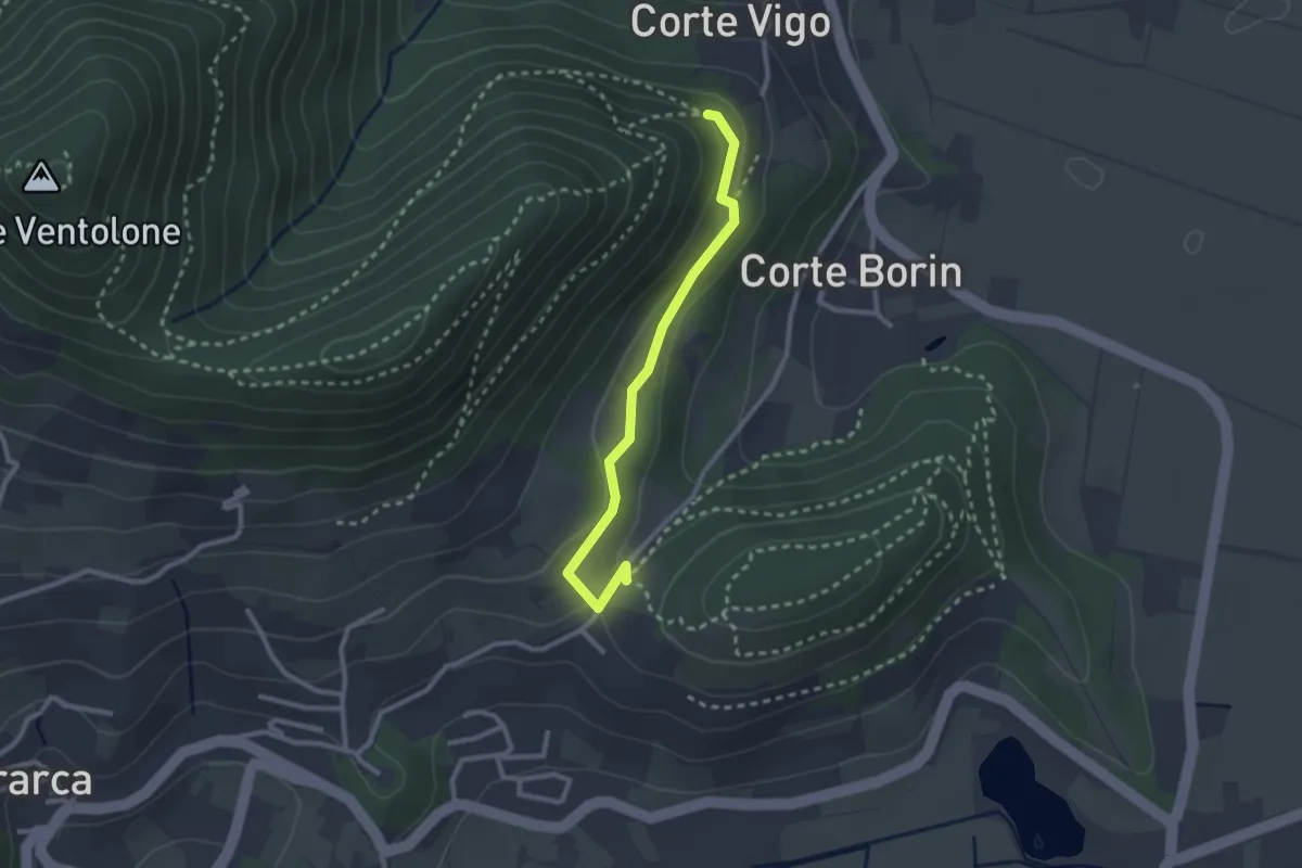
Medium · Trail
Sentiero del Monte Piccolo
2.5 km · ↑ 67 m · 44 min · 12 km away
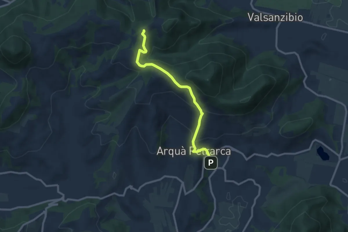
Medium · Trail
Allacciante "E" da Arquà
6.6 km · ↑ 358 m · 2 h 21 min · 13 km away
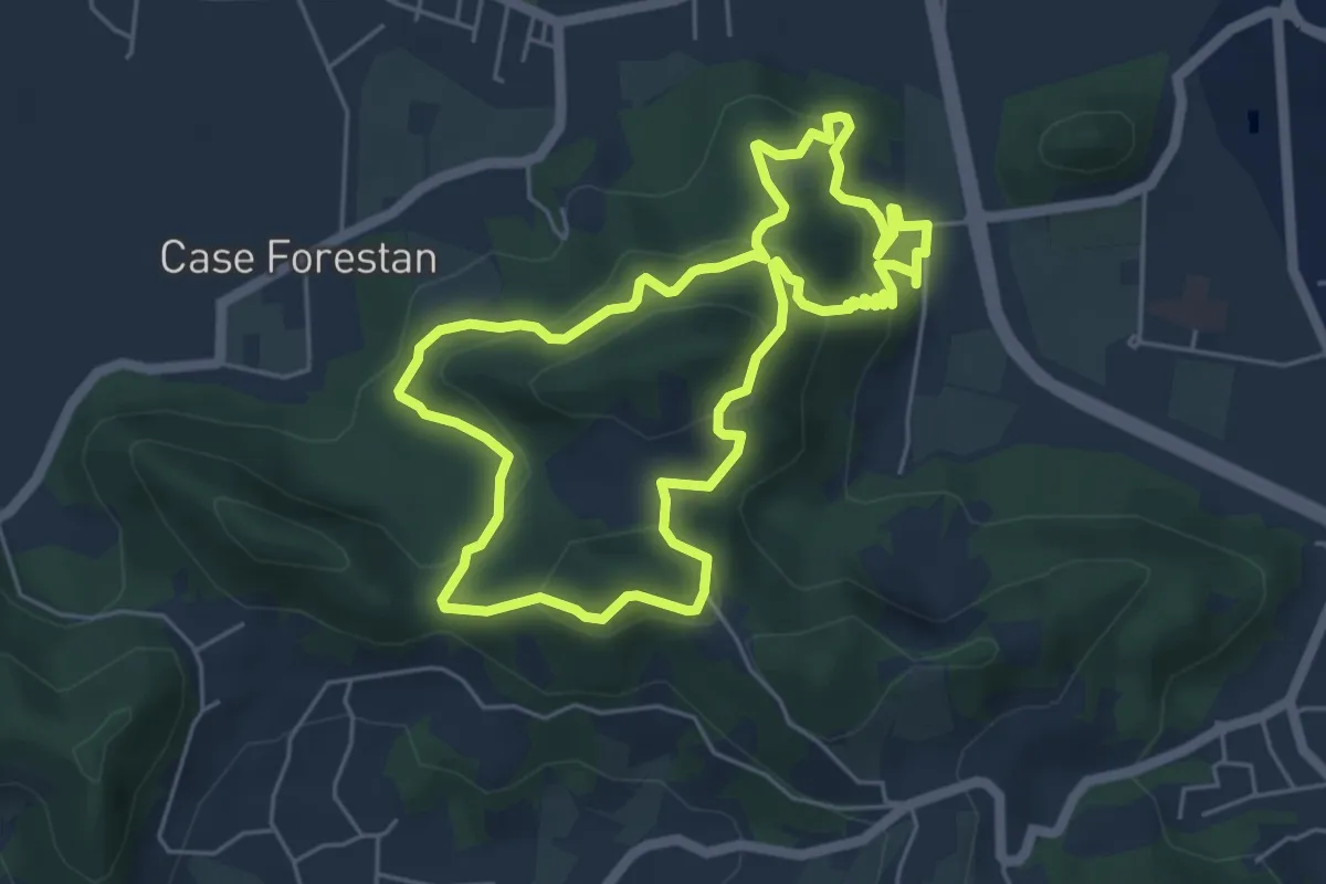
Easy · Summit
Sentiero Villa Draghi
5.4 km · ↑ 319 m · 2 h 2 min · 13 km away
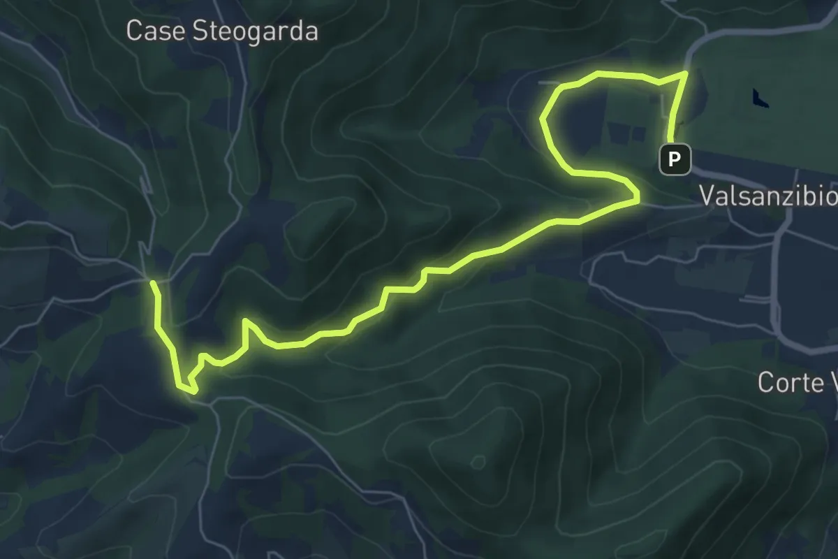
Medium · Trail
Valsanzibio – Via Scalette
8.4 km · ↑ 272 m · 2 h 34 min · 13 km away
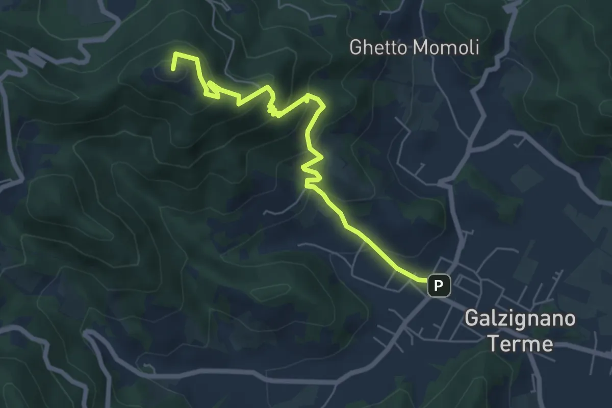
Medium · Summit
Allacciante "C" da Galzignano
5.9 km · ↑ 368 m · 2 h 11 min · 14 km away
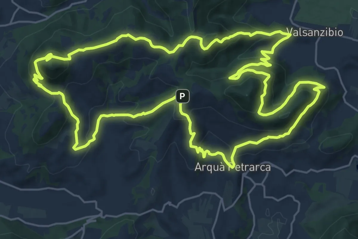
Demanding · Summit
Sentiero Atestino
18.6 km · ↑ 986 m · 6 h 47 min · 14 km away
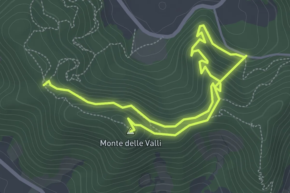
Easy · Summit
Sentiero Monte delle Valli
5.4 km · ↑ 308 m · 1 h 56 min · 14 km away
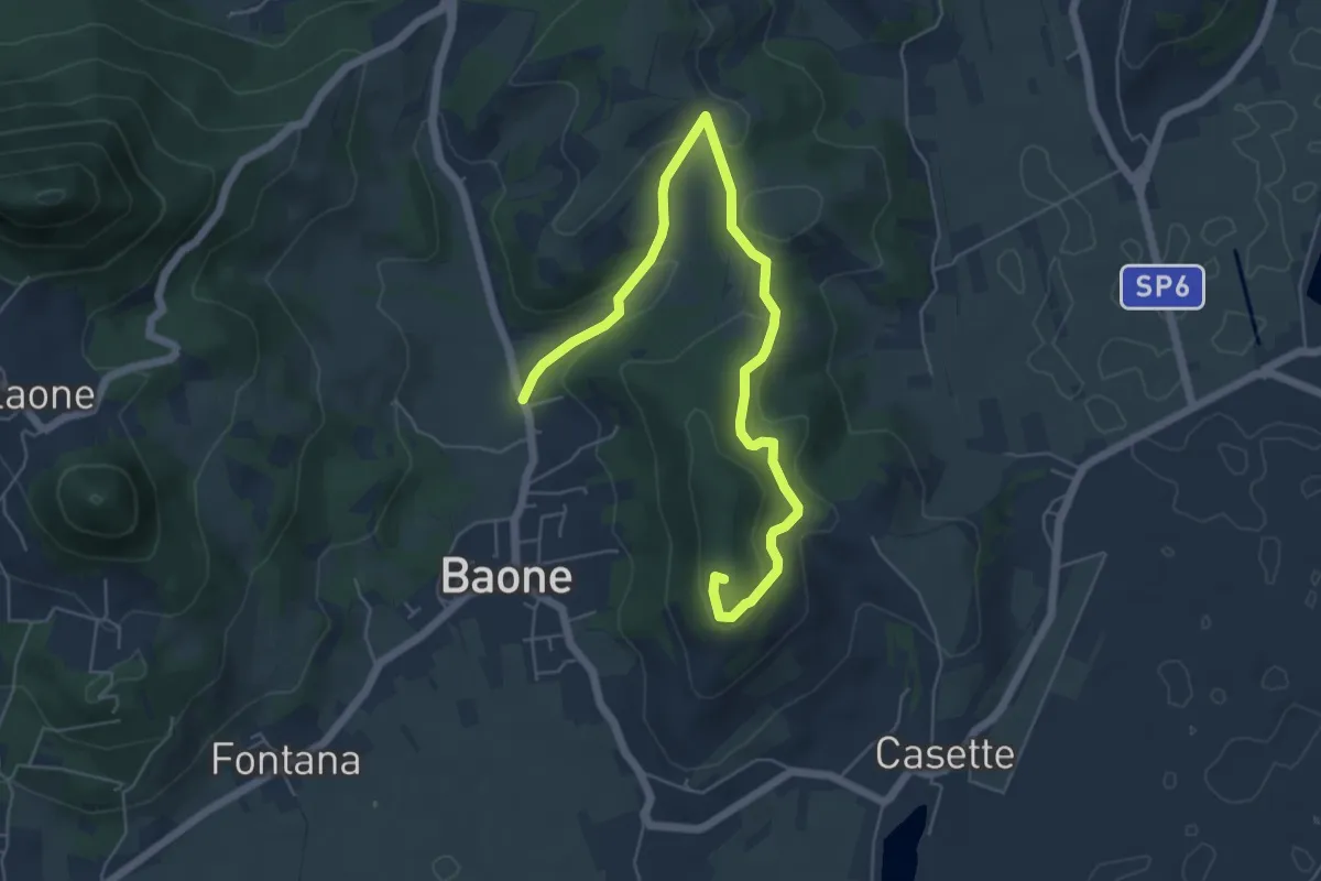
Easy · Summit
Sentiero del Monte Cecilia
6.9 km · ↑ 222 m · 2 h 6 min · 15 km away
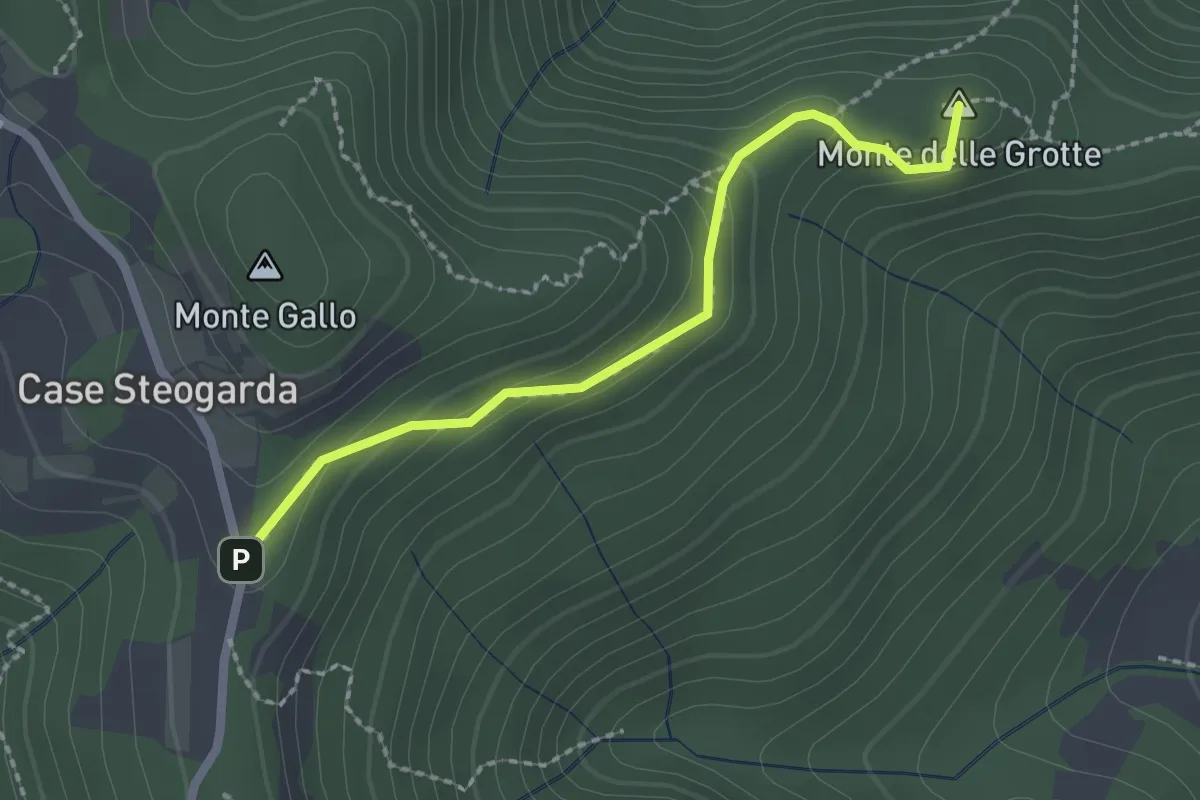
Medium · Summit
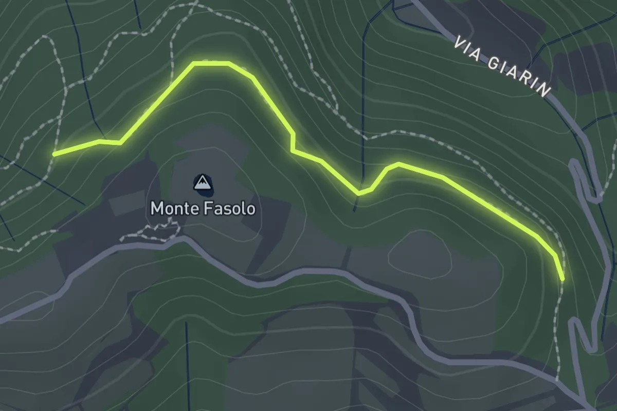
Sentiero del Monte Gallo Monte delle Grotte e Monte delle Basse
2.1 km · ↑ 128 m · 47 min · 15 km away
Easy · Summit
Località Sant' Antonio Cinto Euganeo – Località Sant' Antonio Cinto Euganeo
1.1 km · ↑ 44 m · 21 min · 15 km away
Medium · Summit
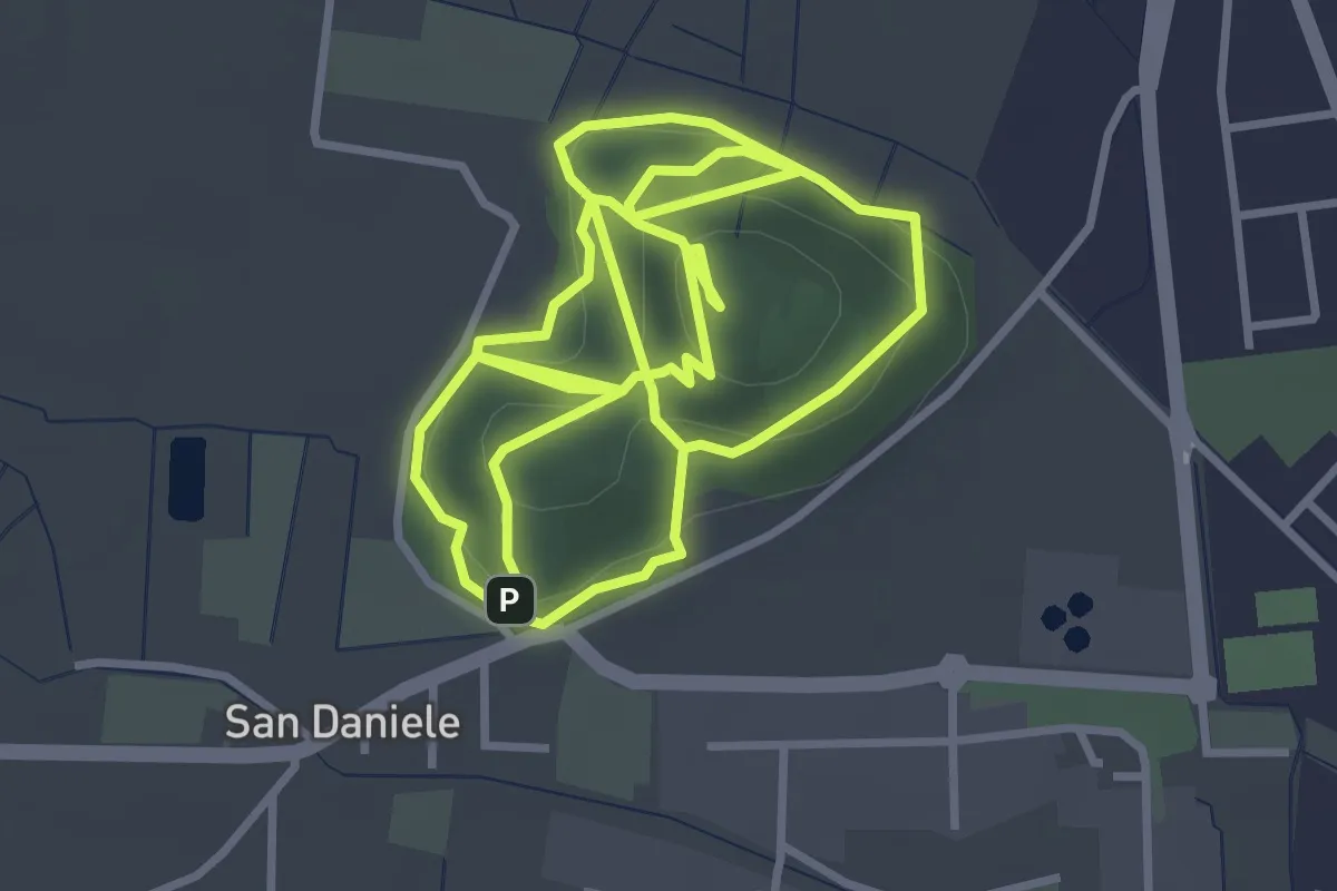
Sentiero del Monte San Daniele
4.0 km · ↑ 155 m · 1 h 19 min · 15 km away