Trails near Cori
25 hikes starting within 15 km, nearest first.
Nearest first
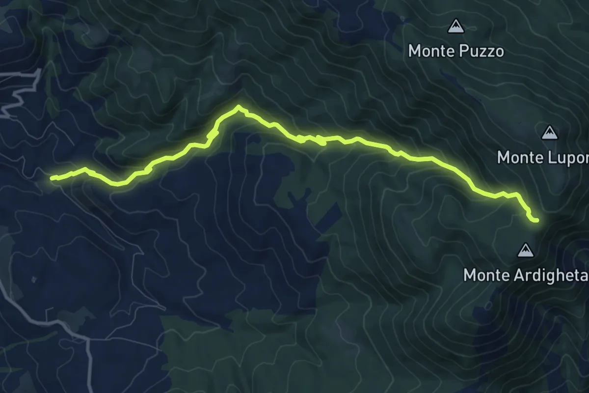
Demanding · Trail
Valle Vacche (Cori)-Valle dell'Inferno-Monte Erdigheta
12.3 km · ↑ 907 m · 4 h 52 min · 1 km away
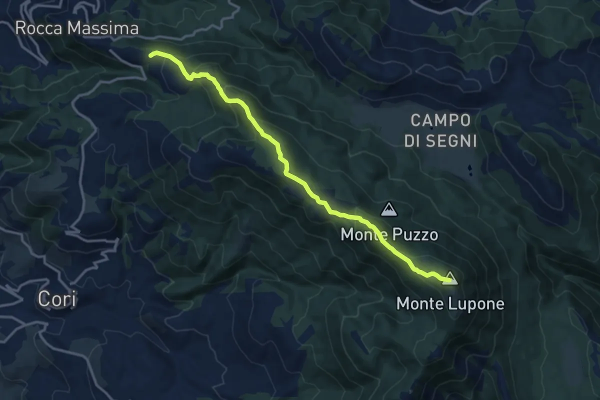
Medium · Summit
Rocca Massima - Monte Lupone
12.5 km · ↑ 697 m · 4 h 27 min · 4 km away
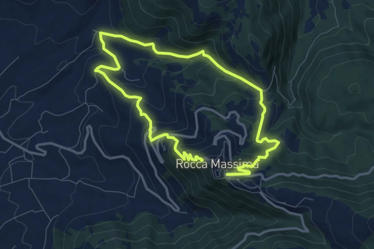
Medium · Trail
Flying in the sky
7.1 km · ↑ 446 m · 2 h 44 min · 4 km away
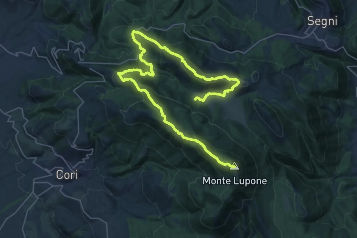
Expert · Summit
Alta Via della Fenice
31.8 km · ↑ 1686 m · 11 h 9 min · 5 km away
Medium · Summit
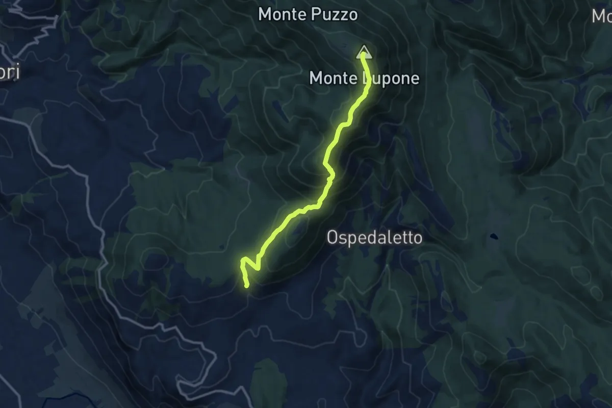
Selva di Cori- Monte Lupone
10.4 km · ↑ 789 m · 4 h 9 min · 5 km away
Easy · Summit
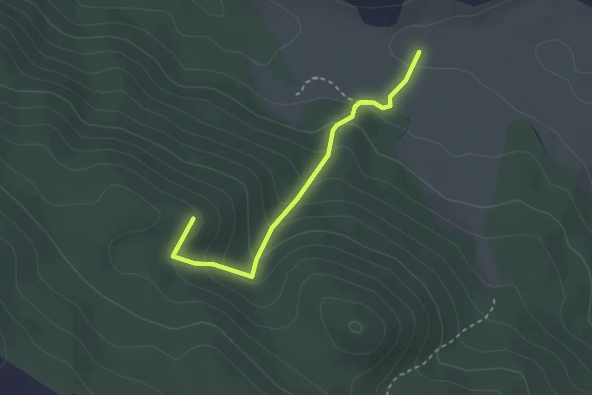
Sentiero De Paolis
2.7 km · ↑ 207 m · 1 h 5 min · 6 km away
Easy · Trail
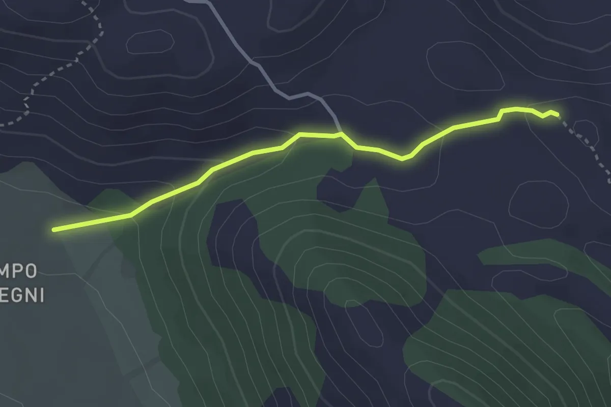
Campo di Segni – Sentiero CAI 728
3.1 km · ↑ 117 m · 59 min · 6 km away
Medium · Summit
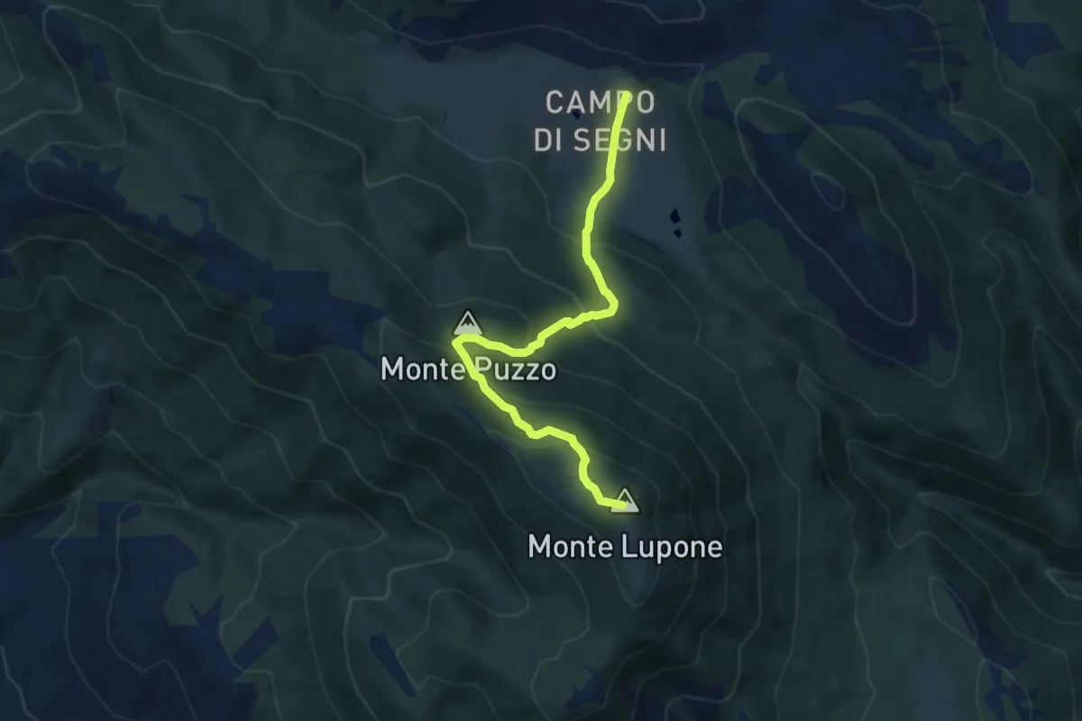
Campo di Segni -Monte Lupone
7.9 km · ↑ 552 m · 3 h 3 min · 6 km away
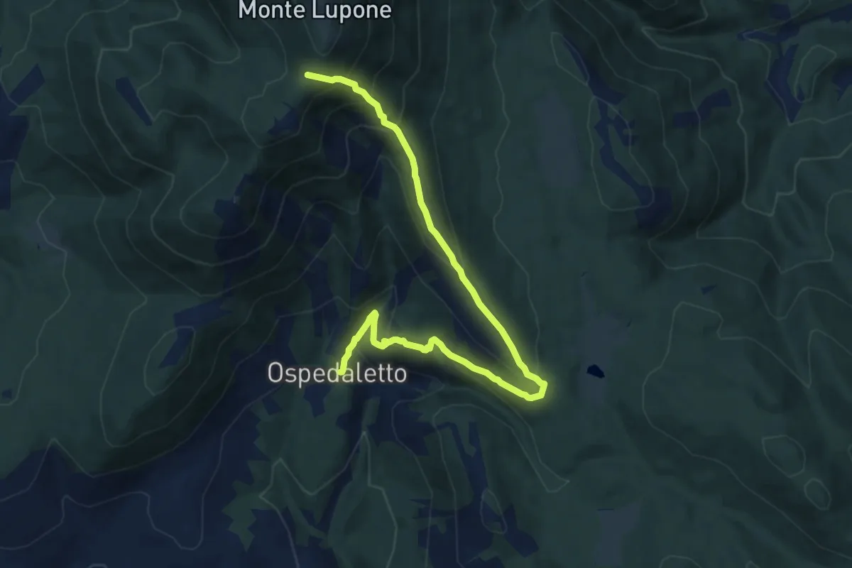
Medium · Trail
Ospedaletto-Sella Dell'Ardigheta (M. Lupone)
11.0 km · ↑ 675 m · 4 h 4 min · 7 km away
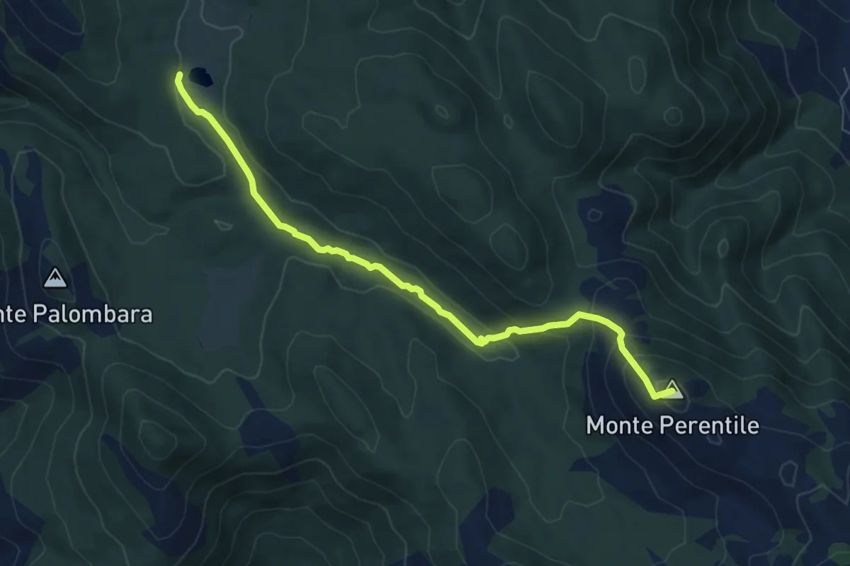
Medium · Summit
Il Volubro (Campo di Montelanico)-Croce di Capreo
7.4 km · ↑ 324 m · 2 h 27 min · 8 km away
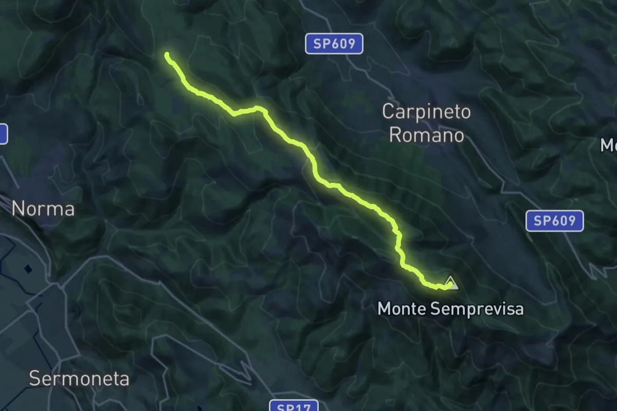
Expert · Summit
Alta Via della Fenice
20.5 km · ↑ 1184 m · 7 h 24 min · 8 km away
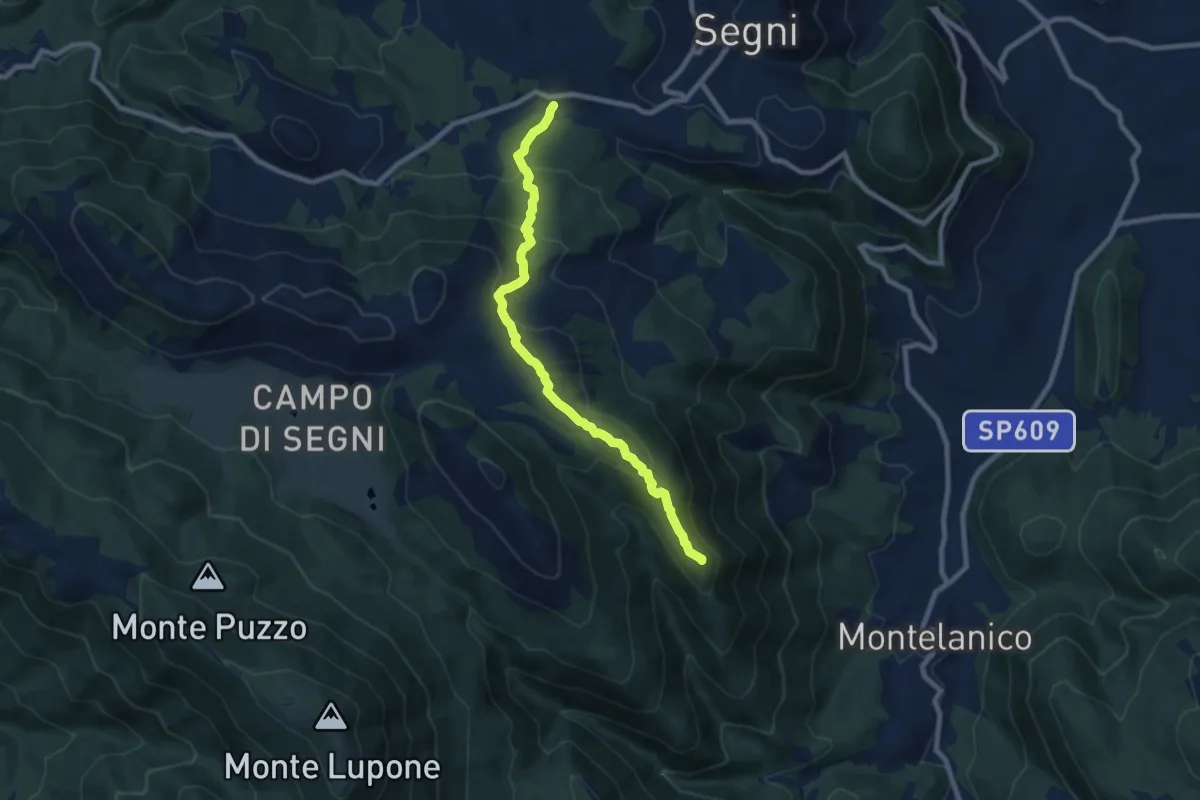
Medium · Summit
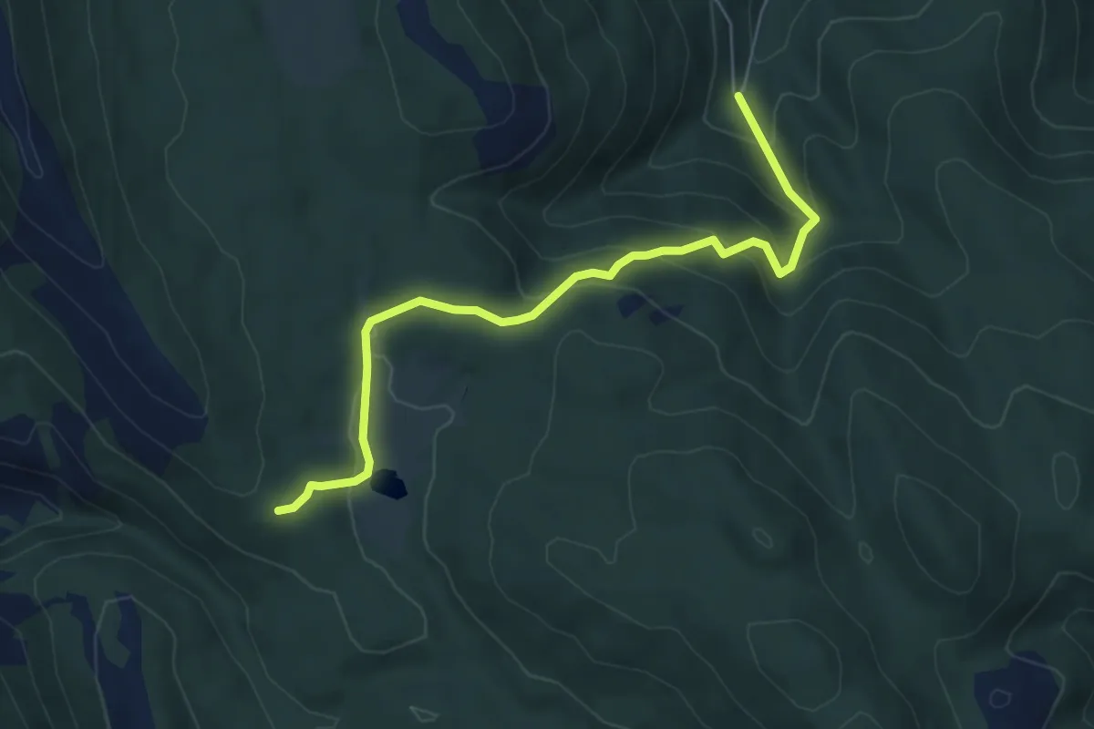
Segni-Monte La Croce-Montelanico
9.0 km · ↑ 529 m · 3 h 16 min · 9 km away
Medium · Trail
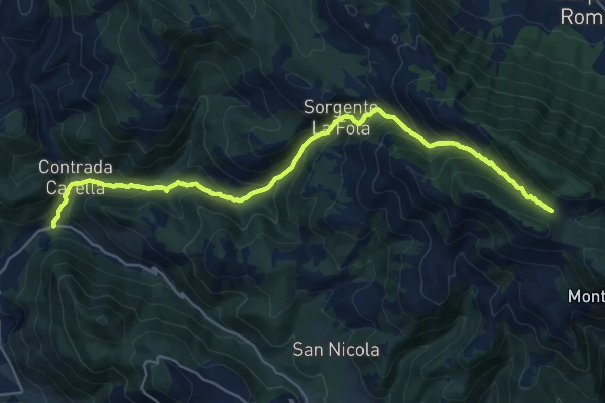
Montelanico-Costa delle Tombelle
6.5 km · ↑ 430 m · 2 h 28 min · 9 km away
Demanding · Trail
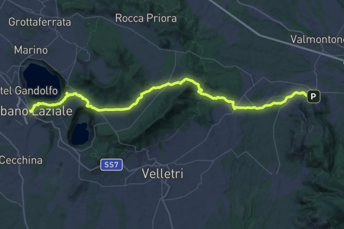
P.te Vado La Mola-Sella dell'Ardicara
18.2 km · ↑ 1195 m · 6 h 53 min · 10 km away
Demanding · Trail
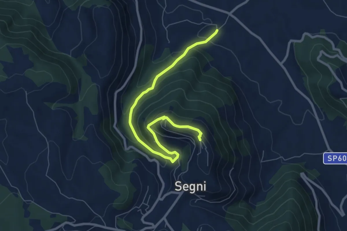
Cammino di San Tommaso - Tappa 2
27.5 km · ↑ 784 m · 8 h 33 min · 11 km away
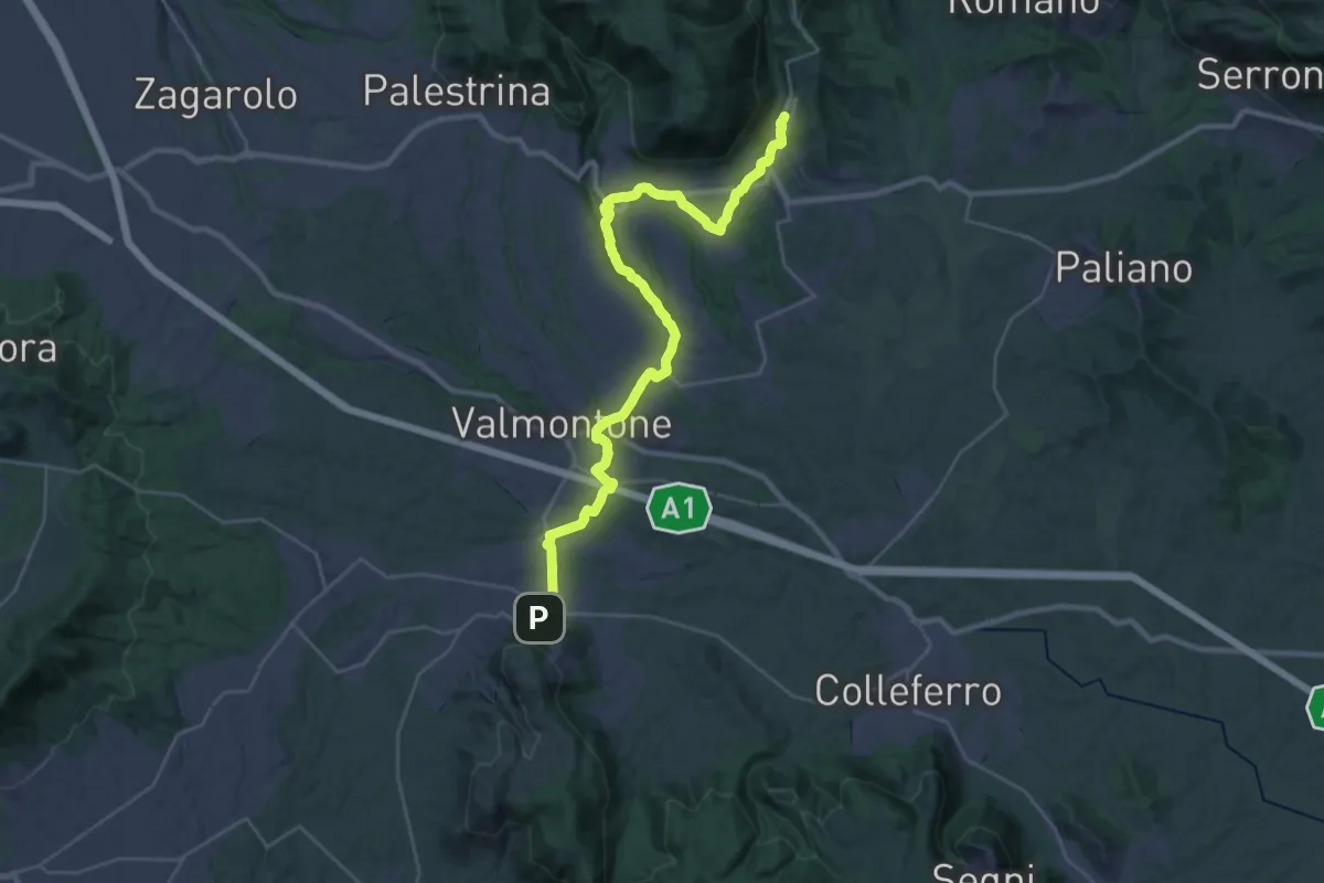
Medium · Trail
Sentiero Storico via della Mola
8.0 km · ↑ 422 m · 2 h 49 min · 11 km away
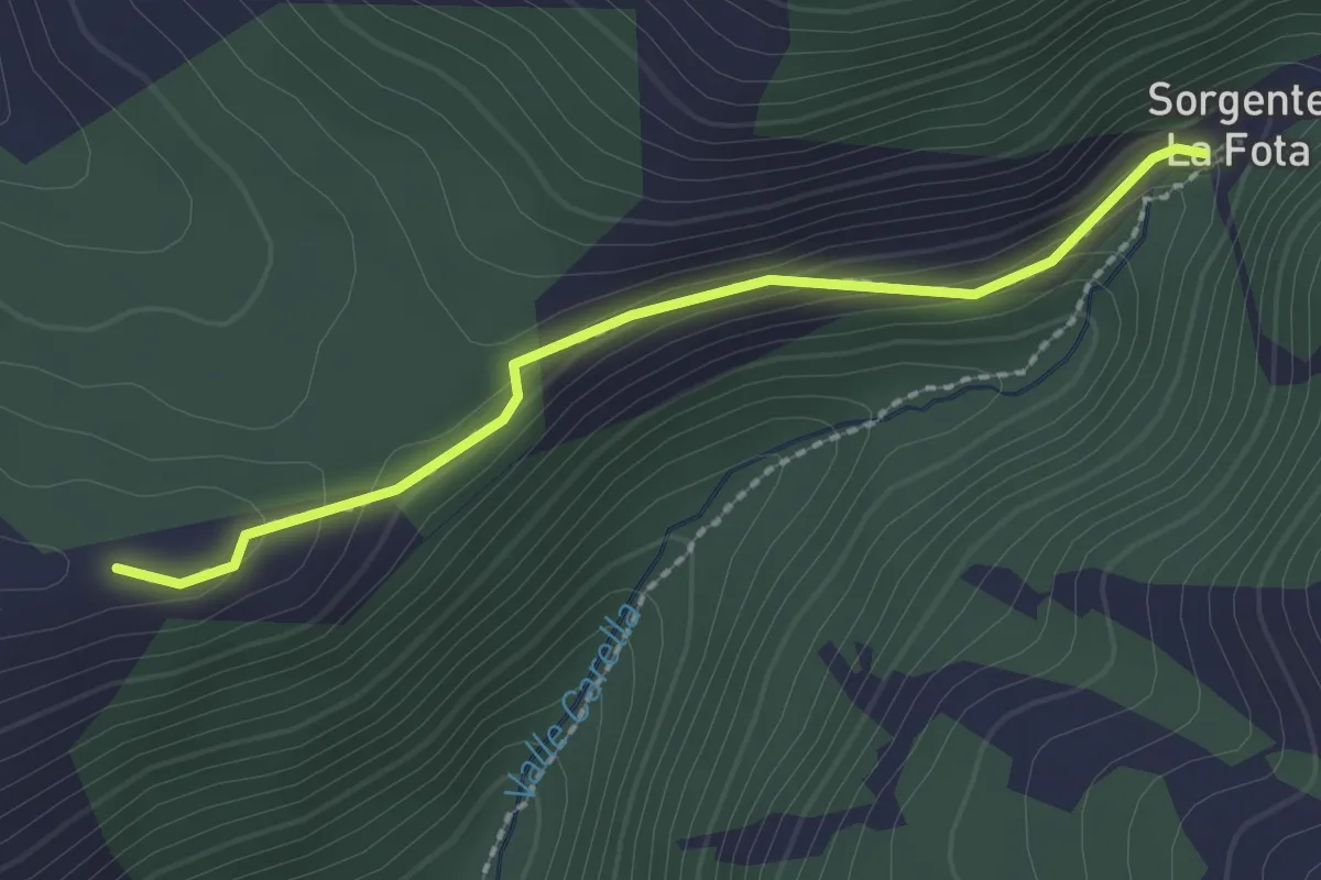
Medium · Trail
Cammino di San Tommaso - Tappa 3
18.0 km · ↑ 341 m · 5 h 12 min · 11 km away
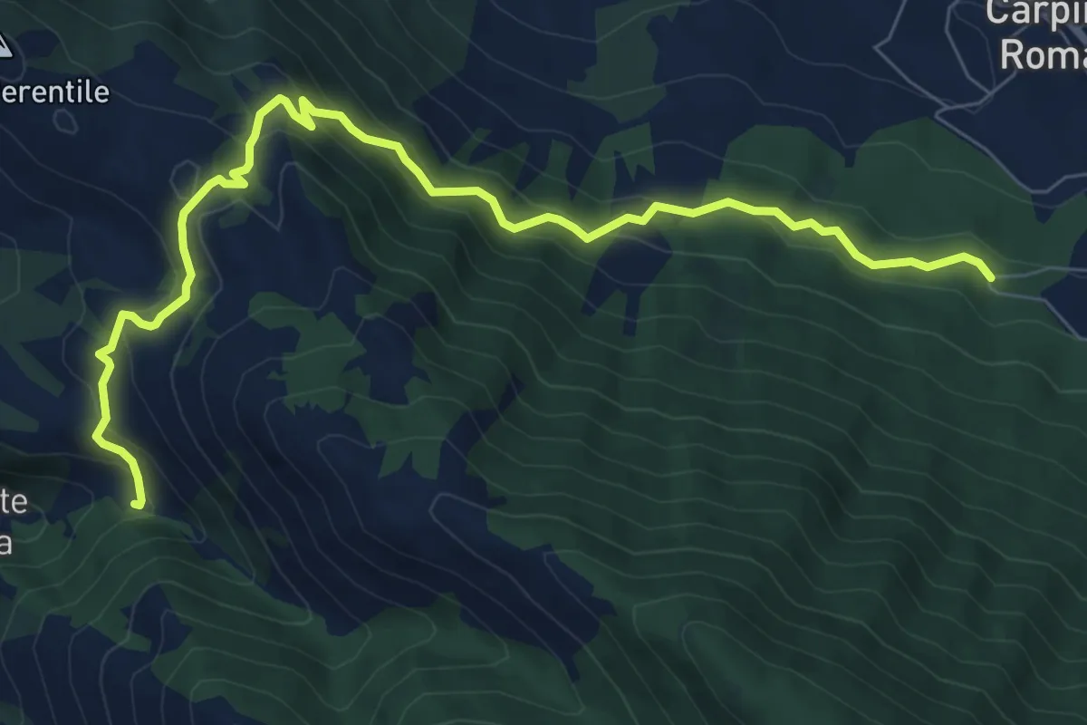
Easy · Trail
Diramazione per Malvisciolo
2.3 km · ↑ 83 m · 43 min · 12 km away
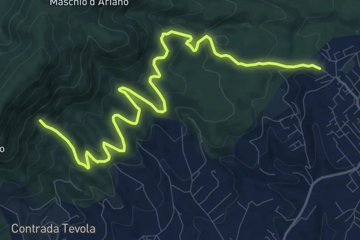
Medium · Trail
Fontana La Fata (Carpineto)-Sorgente Rapiglio
9.8 km · ↑ 543 m · 3 h 29 min · 12 km away
Medium · Cabin
Lariano-Casa del Parco Artemisio
14.0 km · ↑ 698 m · 4 h 49 min · 12 km away
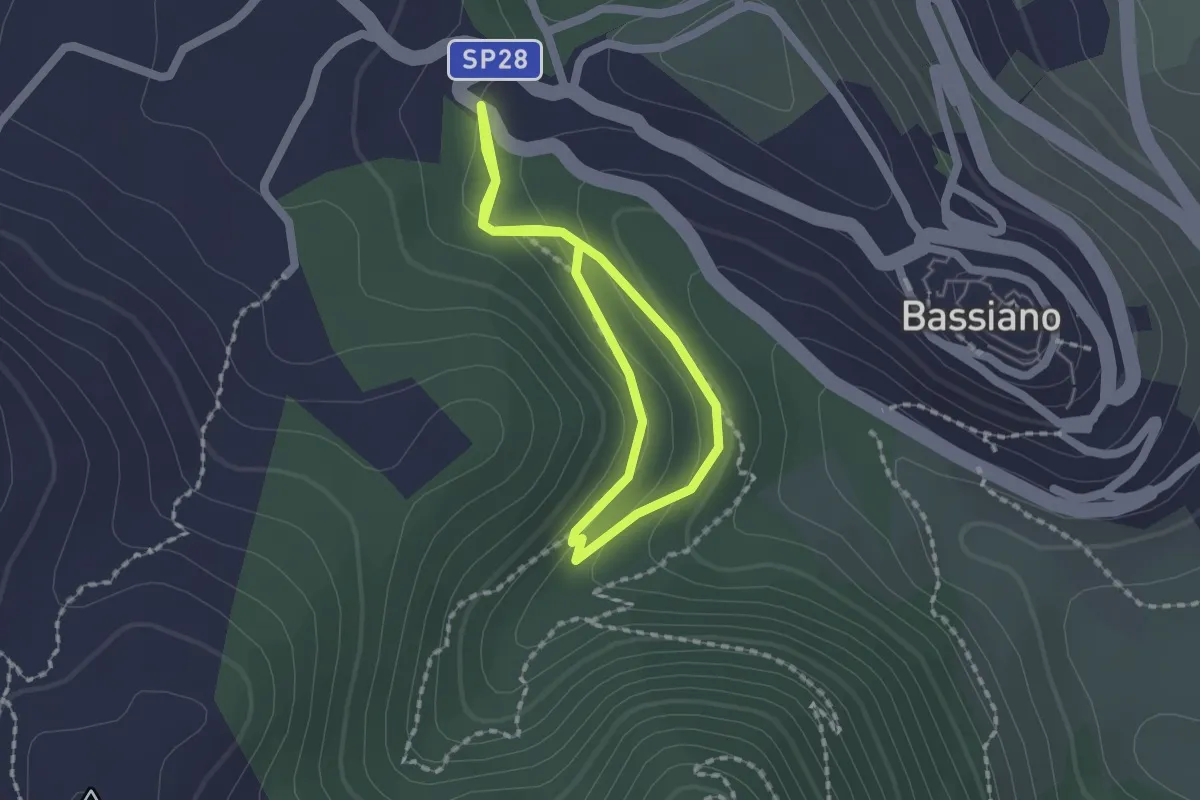
Easy · Trail
Percorso LH12 Bassiano
1.5 km · ↑ 59 m · 30 min · 14 km away
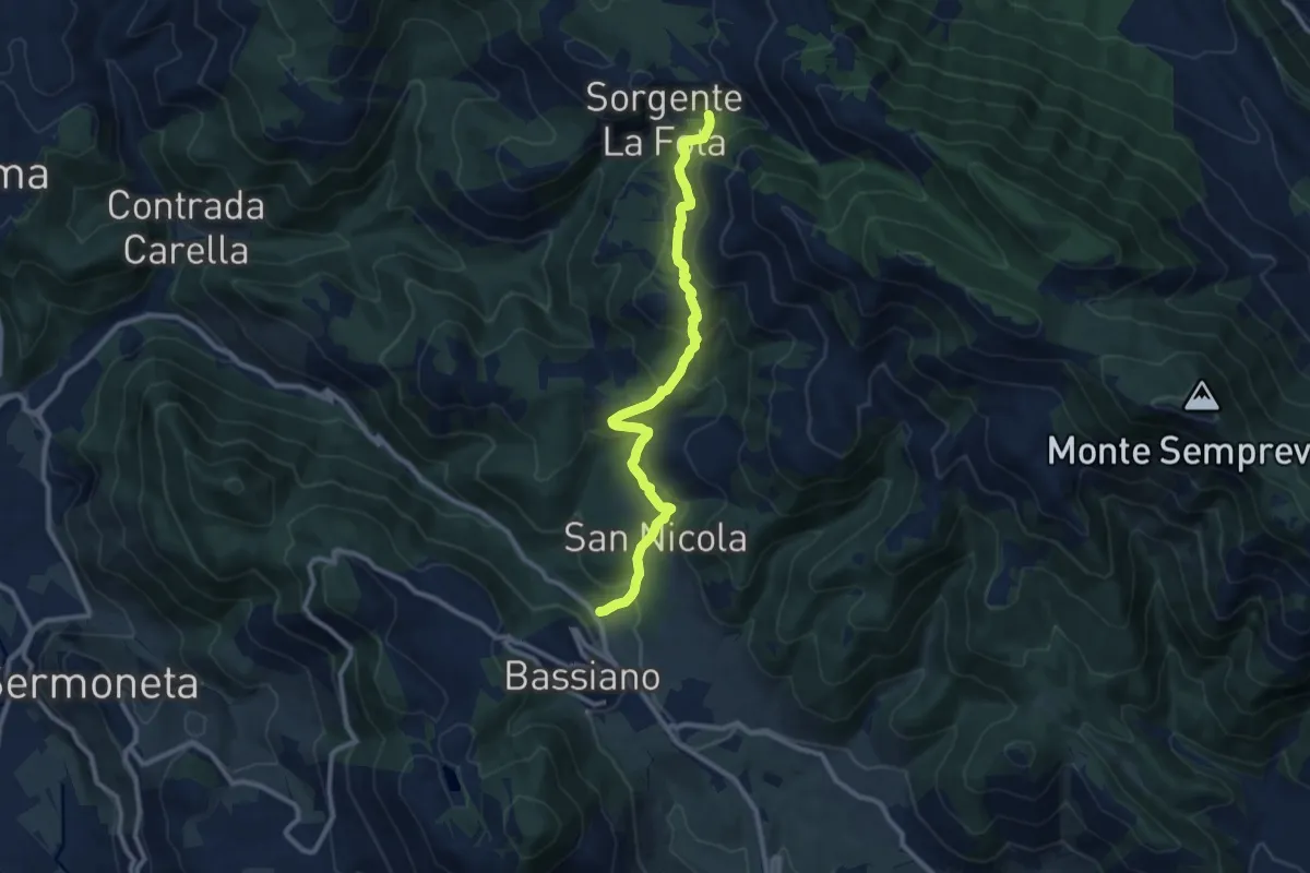
Medium · Trail
Valle Sanguinetti (prossimità via Ninfina) – Valle della Fota, intersezione con il sentiero 714
10.8 km · ↑ 642 m · 3 h 57 min · 14 km away
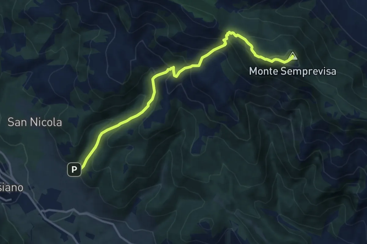
Demanding · Summit
Sentiero Daniele Nardi
11.2 km · ↑ 932 m · 4 h 40 min · 15 km away
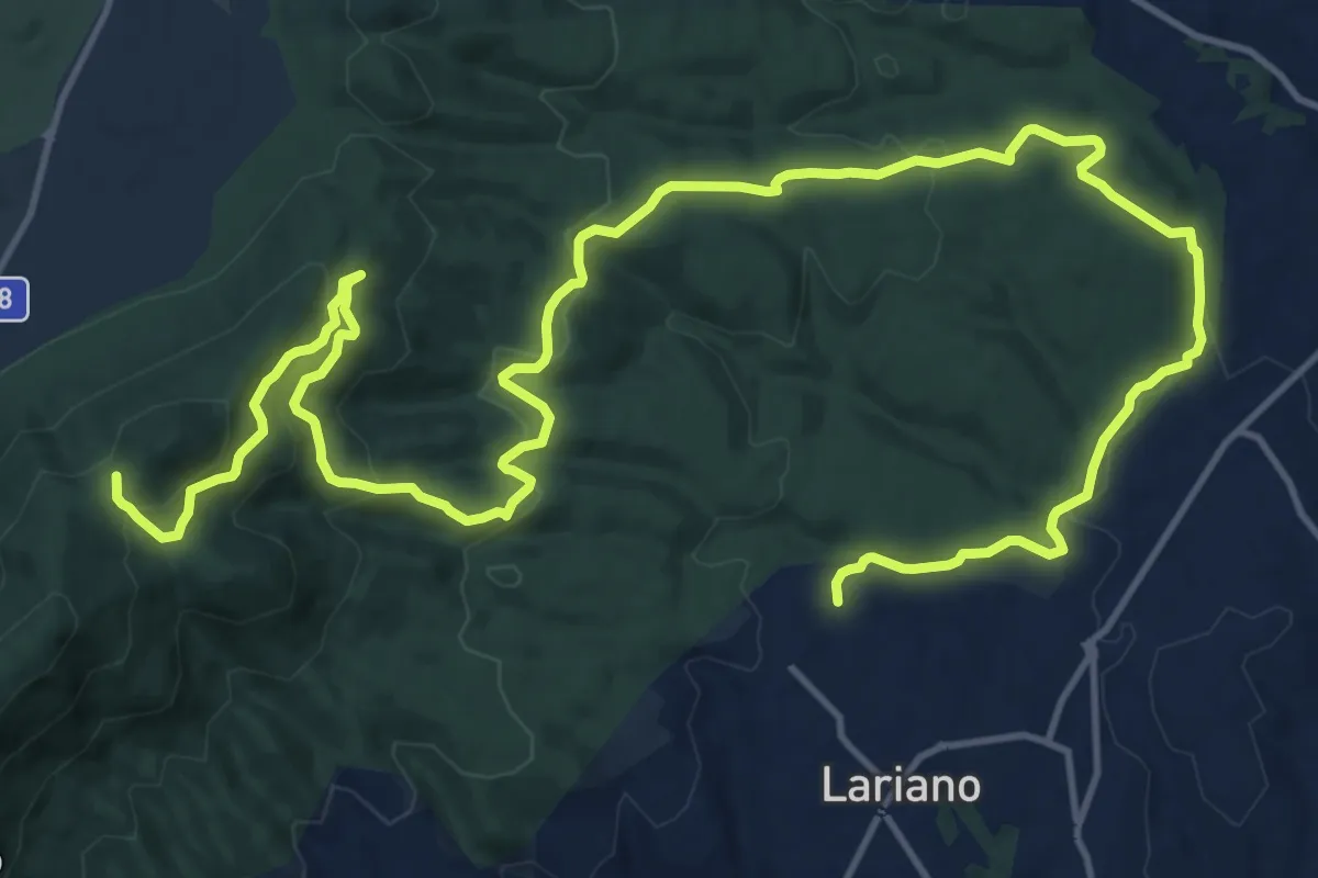
Demanding · Trail
Lariano, via Vittoria Colonna – Passo del Lupo
25.1 km · ↑ 802 m · 7 h 40 min · 15 km away
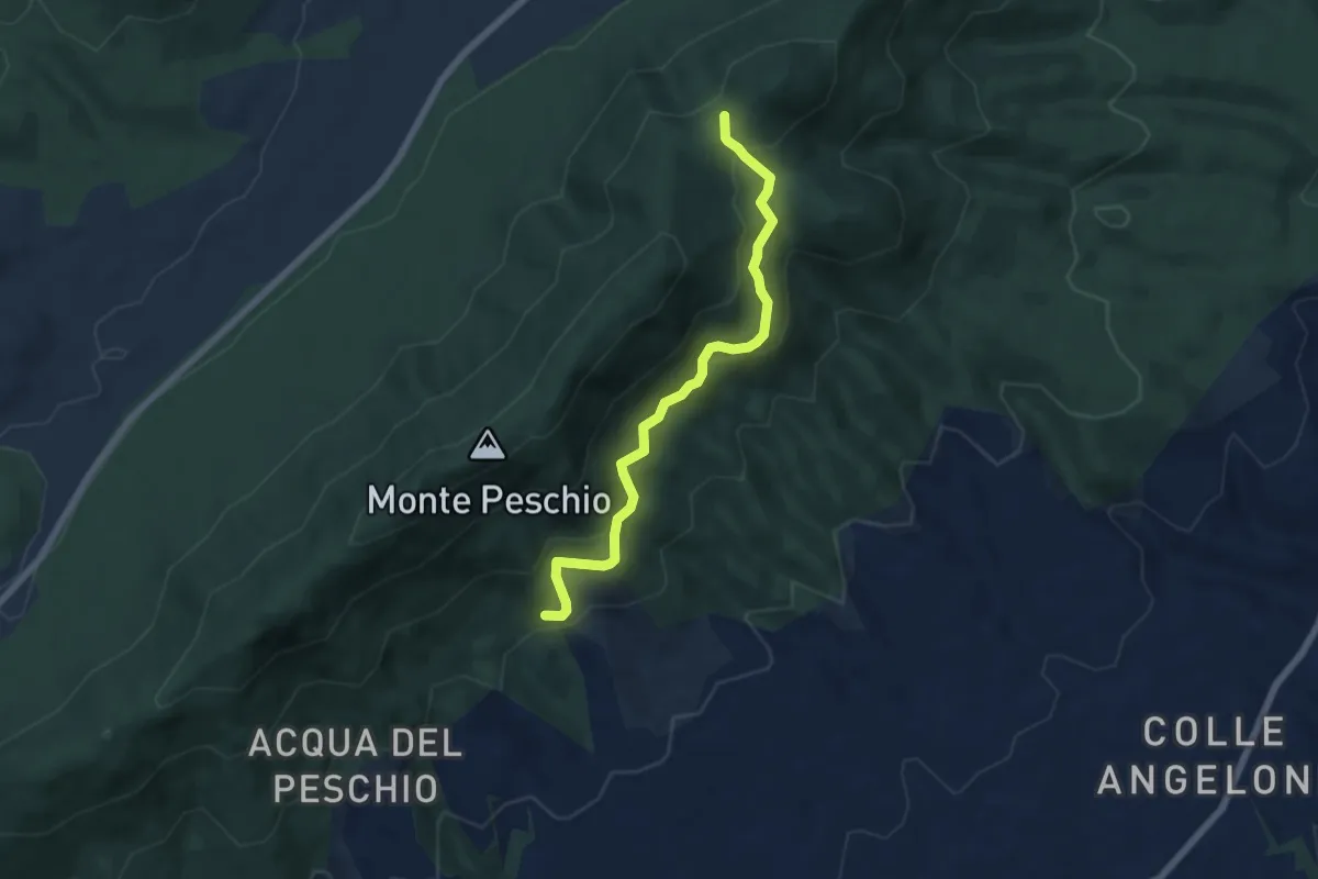
Medium · Trail
Fontana Marcaccio-Passo del Lupo
6.6 km · ↑ 341 m · 2 h 17 min · 15 km away