Trails near Cortina d'Ampezzo
184 hikes starting within 15 km, nearest first.
Nearest first, page 2 of 4
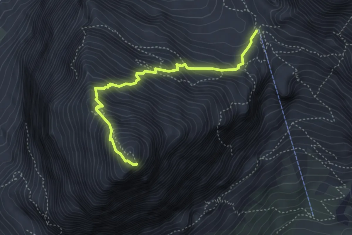
Expert · Summit
Tofana di Rozes (via normale)
4.1 km · ↑ 627 m · 2 h 19 min · 6 km away
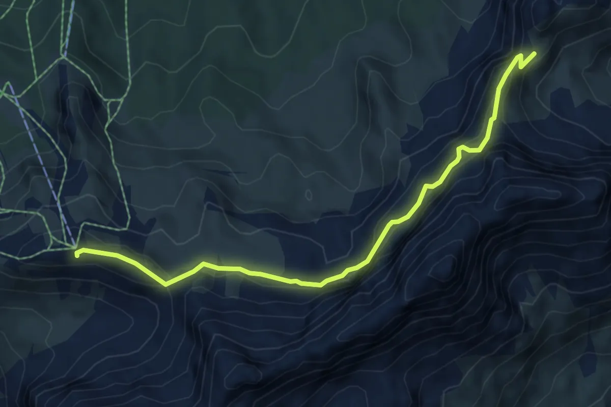
Demanding · Summit
tra Rif. Faloria e Rif. Tondi - sentiero 213 – Ciadin del Loudo - sentiero 216
6.5 km · ↑ 361 m · 2 h 19 min · 6 km away
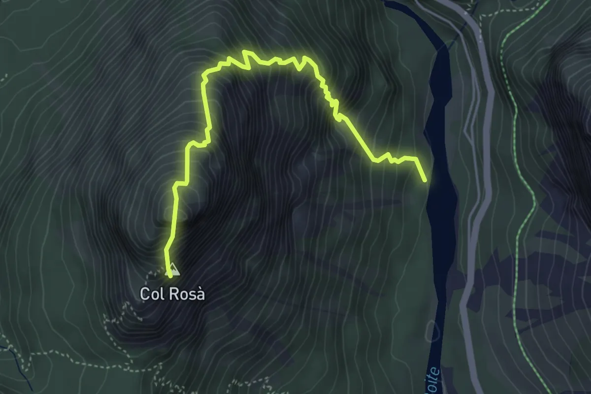
Expert · Summit
Pian de Ra Spines da sentiero 417 – Col Rosà
4.9 km · ↑ 910 m · 3 h 8 min · 6 km away
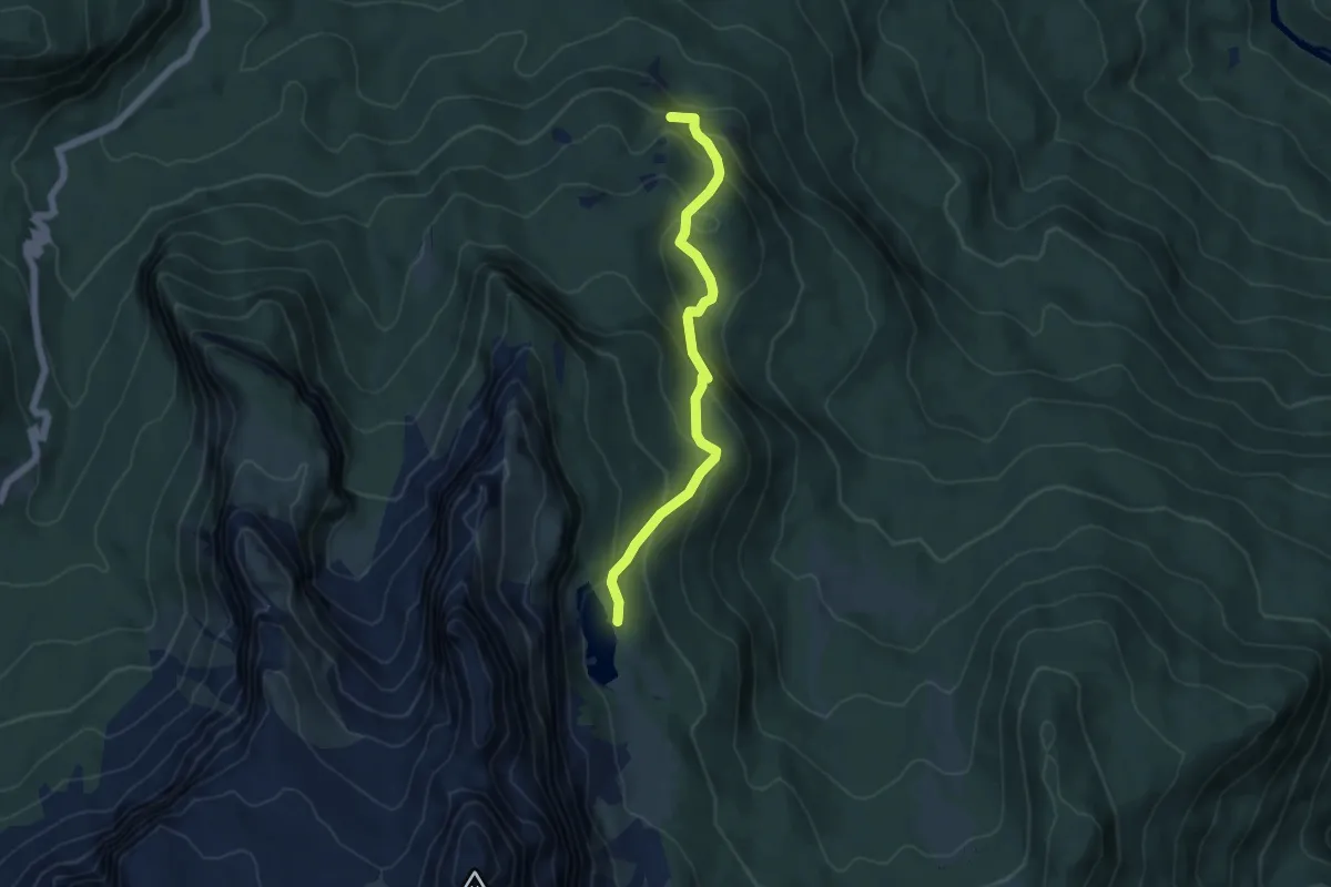
Medium · Summit
Lago d'Aial – Lago de Federa inn. sent. 434
5.0 km · ↑ 386 m · 2 h 1 min · 6 km away
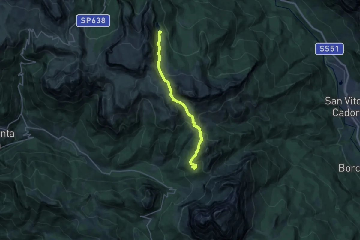
Demanding · Cabin
Dolomites World Heritage Geotrail 46
14.2 km · ↑ 802 m · 5 h 5 min · 6 km away
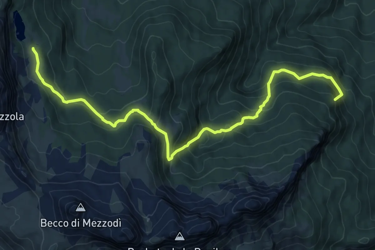
Demanding · Summit
San Vito - Ponte Palù - da sent. 459 – Sotto Rifugio Croda da Lago - inn. sent. 432
12.5 km · ↑ 882 m · 4 h 52 min · 6 km away
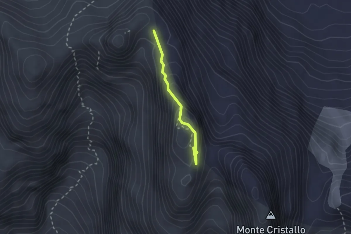
Expert · Summit
Via ferrata Marino Bianchi
1.6 km · ↑ 186 m · 47 min · 7 km away
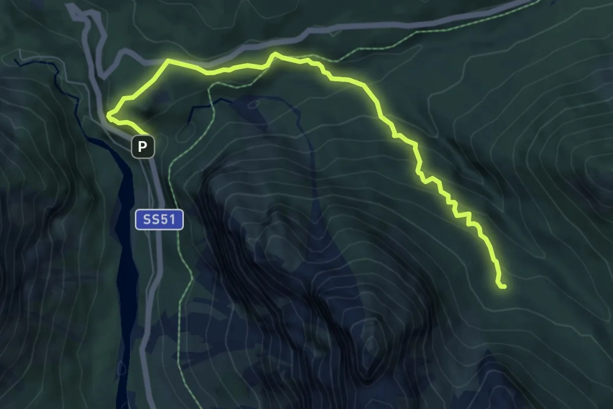
Medium · Trail
Ponte su Ru Felizon - km 110 s.s.51 – Val Granda - sentiero 202
7.5 km · ↑ 700 m · 3 h 17 min · 7 km away
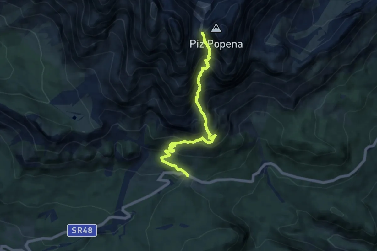
Expert · Trail
Passo Tre Croci – Forcella del Cristallo
7.7 km · ↑ 1107 m · 4 h 12 min · 7 km away
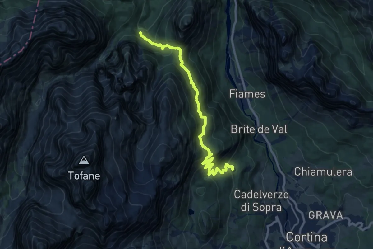
Demanding · Trail
A monte Lago Ghedina – sotto Passo Posporcora - innesto sentiero 401
14.1 km · ↑ 848 m · 5 h 10 min · 7 km away
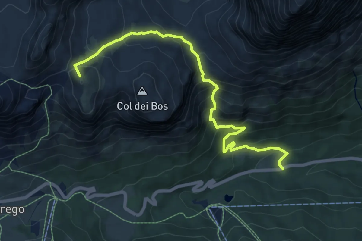
Medium · Summit
Ponte de Landries - S.R. 48 al km 111 – Passo Falzarego
8.4 km · ↑ 701 m · 3 h 30 min · 7 km away
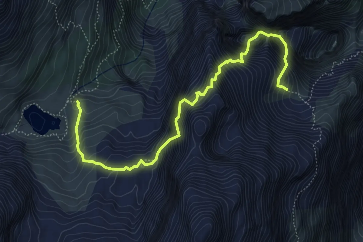
Expert · Cabin
Ferrata Vandelli
6.4 km · ↑ 2266 m · 6 h 25 min · 7 km away
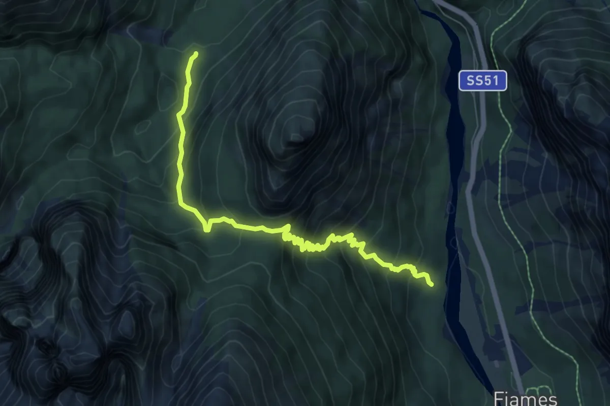
Medium · Trail
Pian de Ra Spines - da sentiero 417 – c/o Ponte Outo - innesto sentiero 10
7.8 km · ↑ 704 m · 3 h 22 min · 7 km away
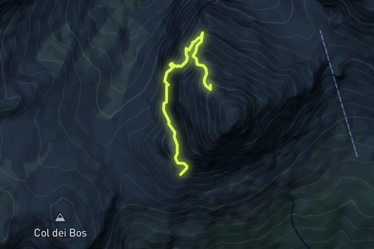
Expert · Trail
Via Ferrata Lipella
4.9 km · ↑ 1320 m · 4 h 1 min · 7 km away
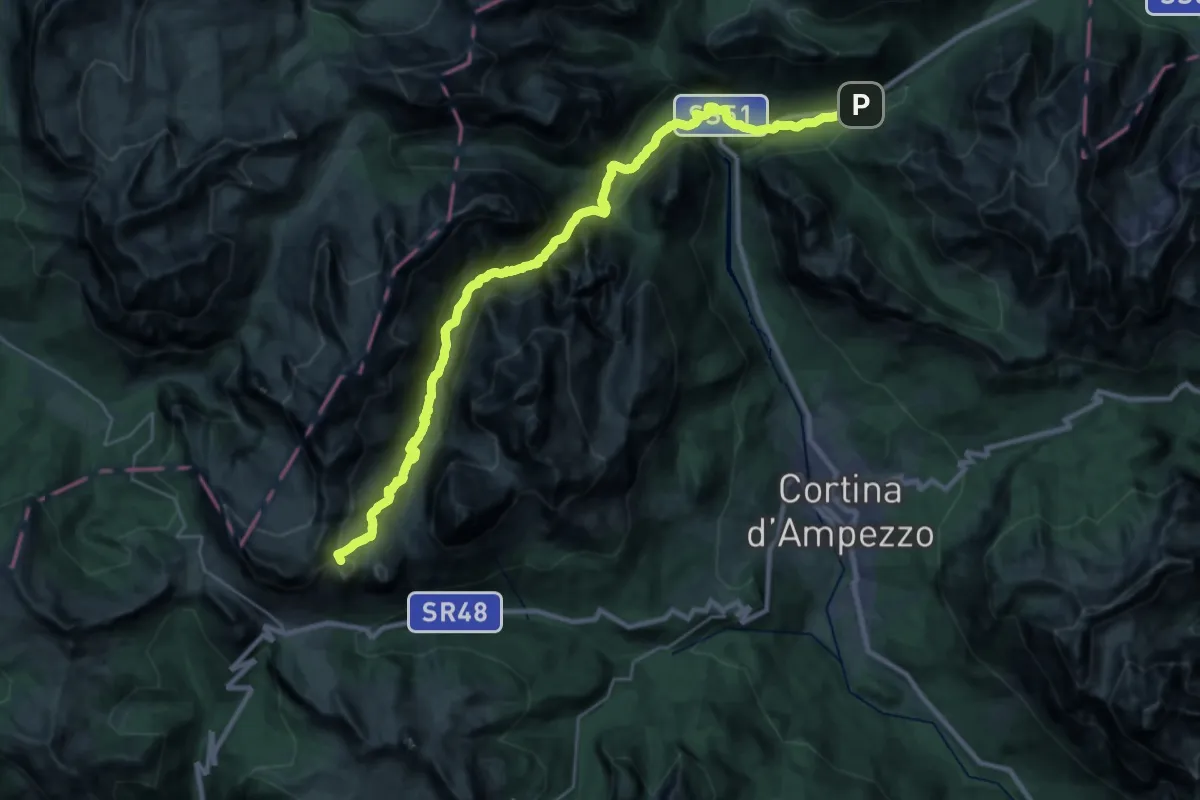
Demanding · Summit
Rifugio Lagazuoi – Albergo Rifugio Ospitale
31.8 km · ↑ 1799 m · 11 h 24 min · 7 km away
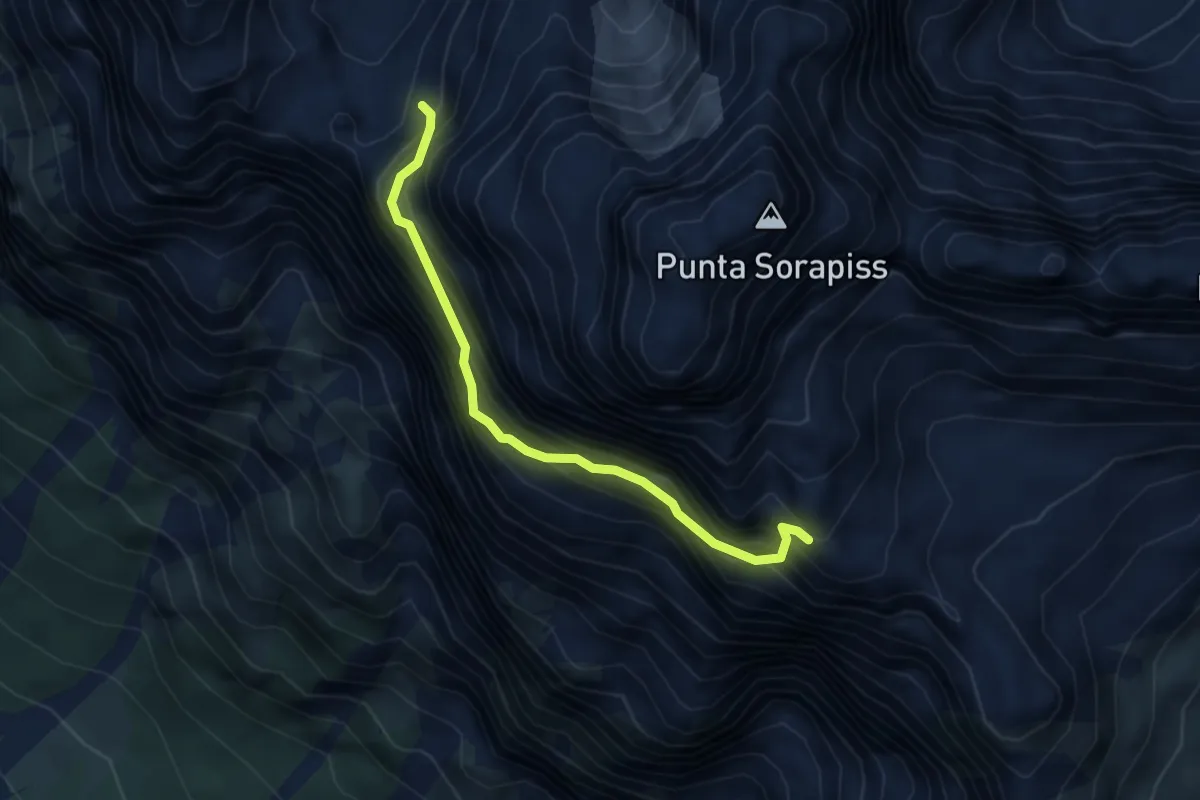
Demanding · Trail
Via Ferrata Francesco Berti
3.9 km · ↑ 900 m · 2 h 52 min · 7 km away
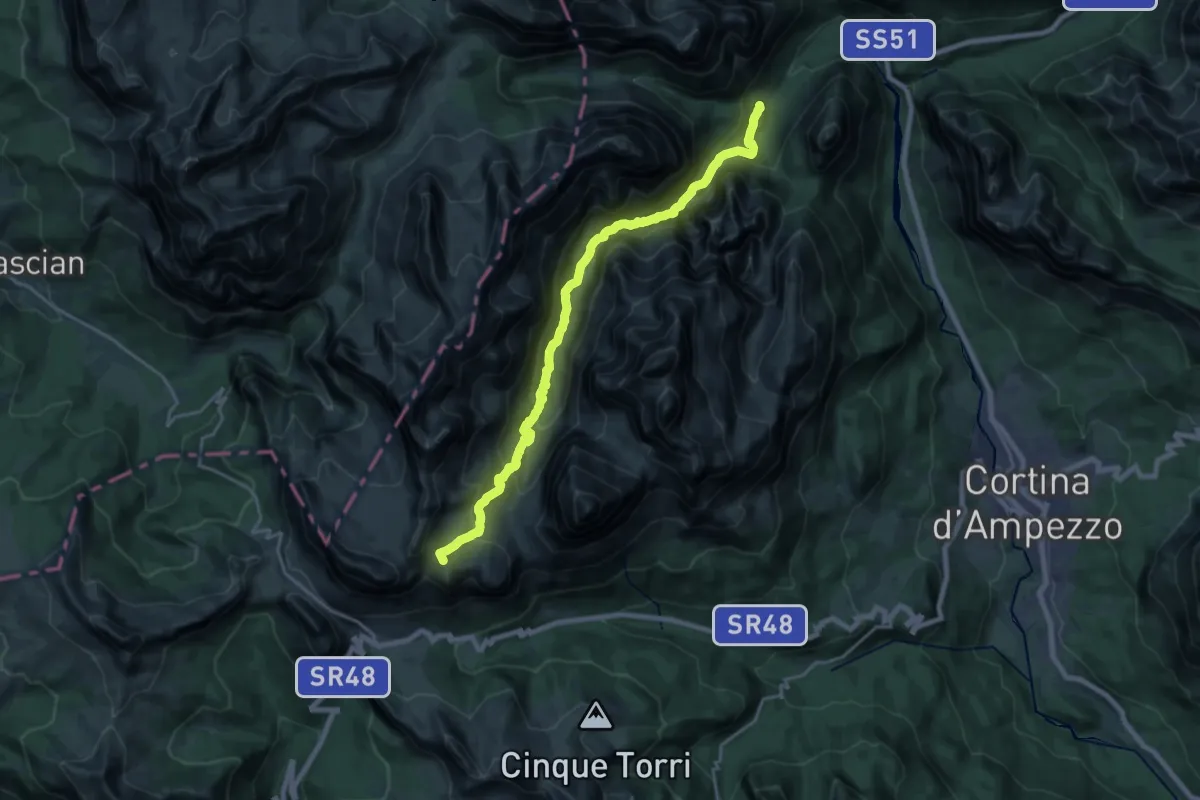
Demanding · Summit
sopra Ponte Outo - sentiero 10 – Rifugio Lagazuoi
20.4 km · ↑ 1350 m · 7 h 44 min · 7 km away
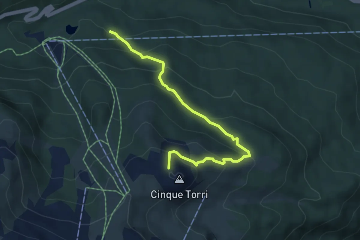
Medium · Summit
Bai de Dones - da sent. 424 – Rifugio Scoiattoli
4.9 km · ↑ 354 m · 1 h 56 min · 7 km away
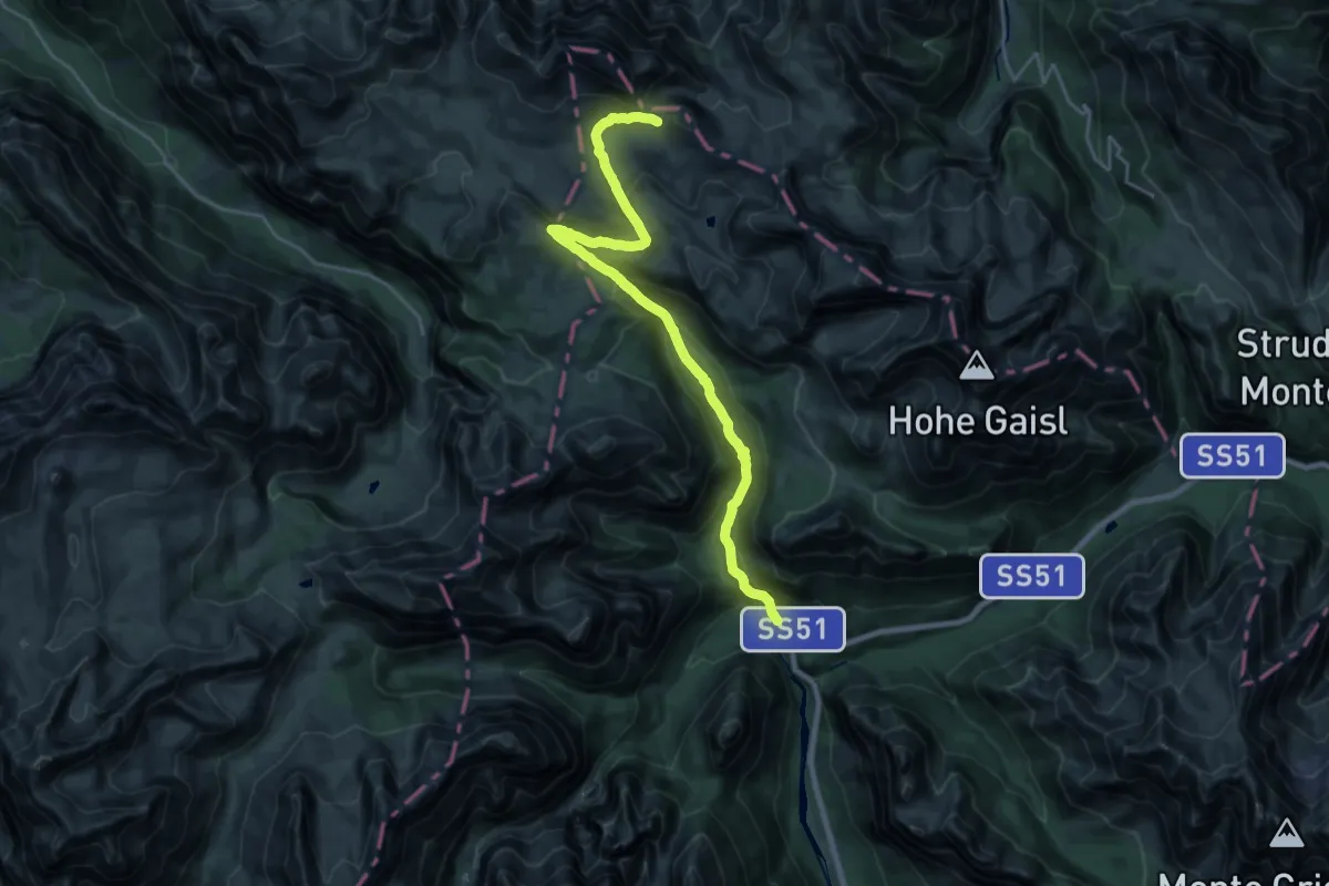
Demanding · Cabin
Sant Uberto – Rifugio Biella
22.6 km · ↑ 964 m · 7 h 26 min · 8 km away
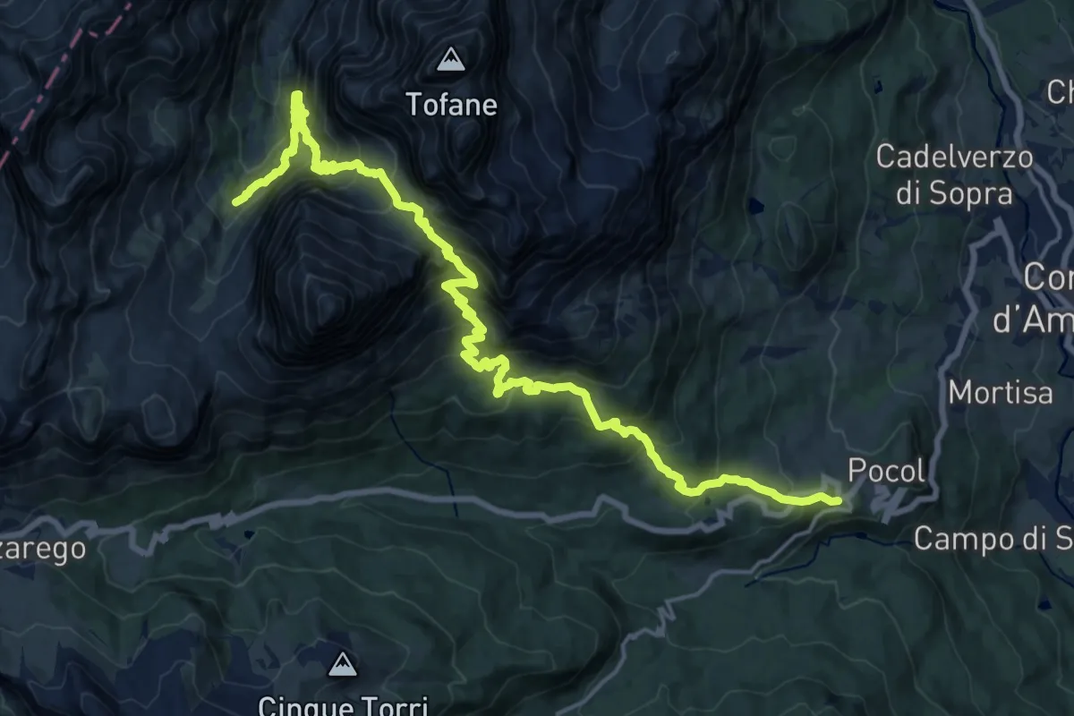
Medium · Trail
Lacedel - Pocol – sotto Cason Travenanzes - sentiero 401
11.0 km · ↑ 772 m · 4 h 40 min · 8 km away
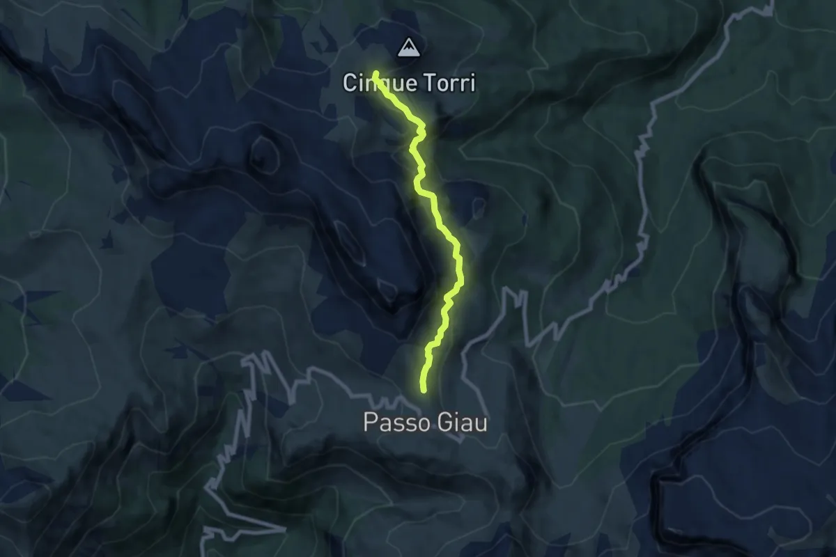
Demanding · Trail
sopra Passo Giau - da sent. 452 – Rifugio 5 Torri e Rifugio Scoiattoli
6.2 km · ↑ 401 m · 2 h 20 min · 8 km away
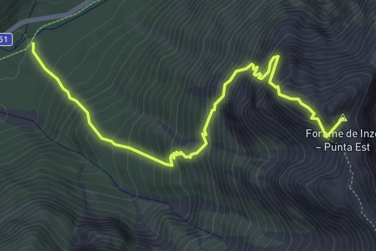
Demanding · Summit
Via Ferrata René De Pol
6.2 km · ↑ 1052 m · 3 h 45 min · 8 km away
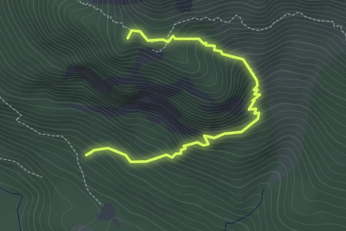
Medium · Summit
Sant Uberto - da strada per Ra Stua – Sotto Sass Pouses - innesto sentiero 5
3.0 km · ↑ 366 m · 1 h 29 min · 8 km away
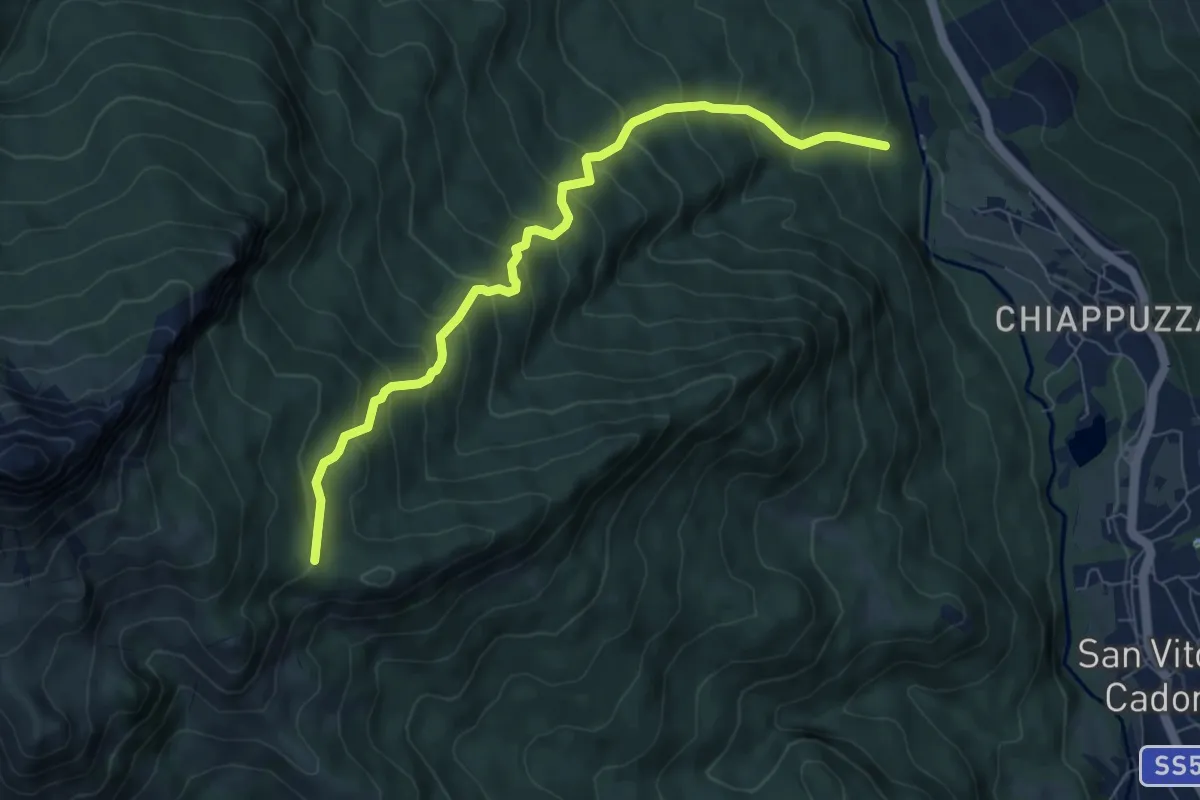
Medium · Cabin
San Vito - Ponte di Geralba - da sent. 426 – Taulà Frates - inn. sent. 436
7.6 km · ↑ 709 m · 3 h 20 min · 8 km away
Medium · Trail
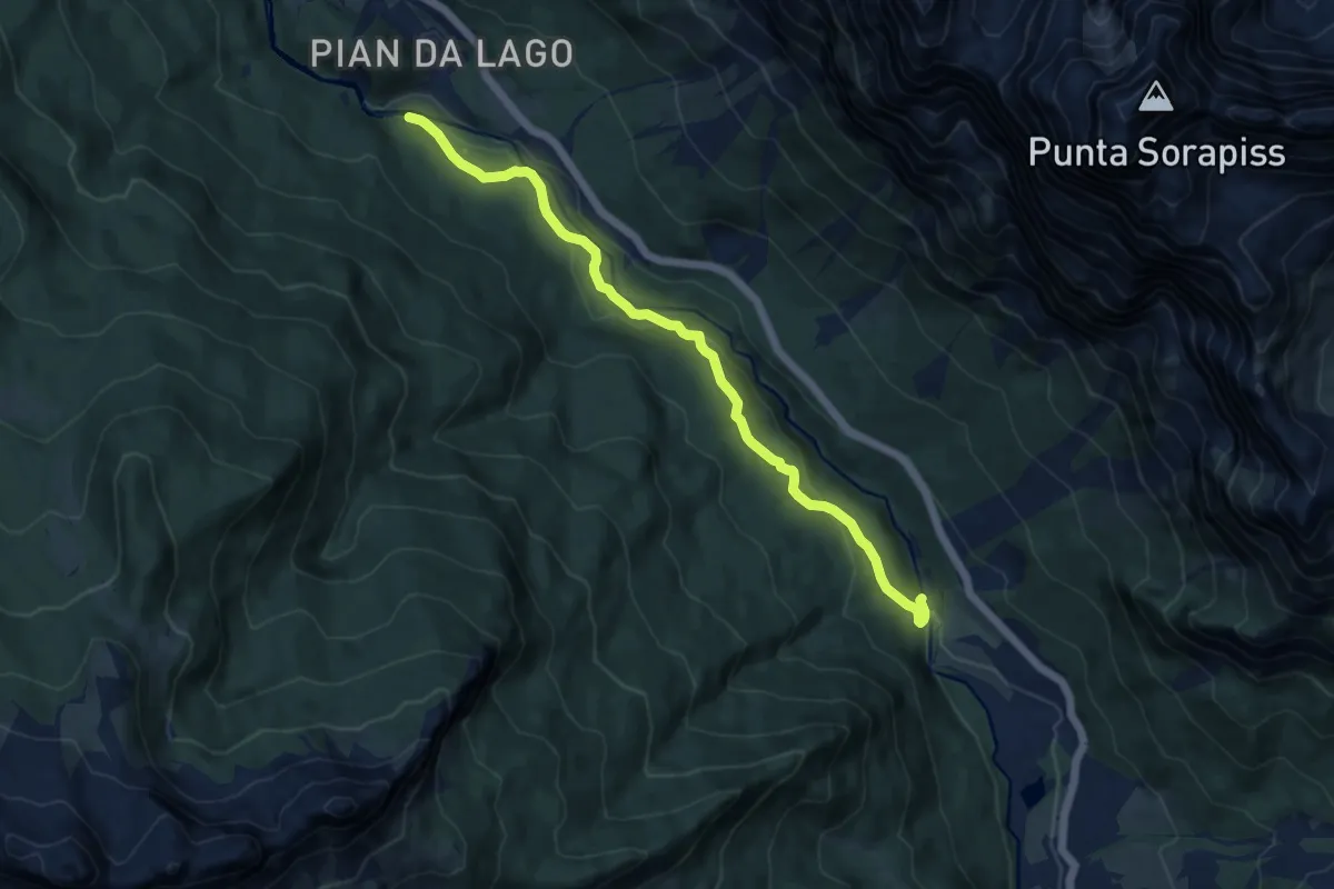
San Floreano-Ponte Geralba – Fratta - confine Comune
10.4 km · ↑ 377 m · 3 h 16 min · 8 km away
Demanding · Summit
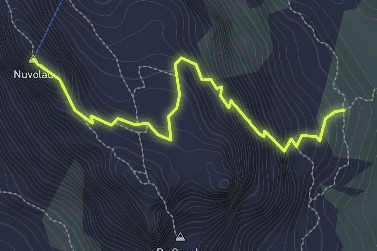
Rifugio Nuvolau – sentiero 443
3.1 km · ↑ 323 m · 1 h 26 min · 8 km away
Medium · Trail
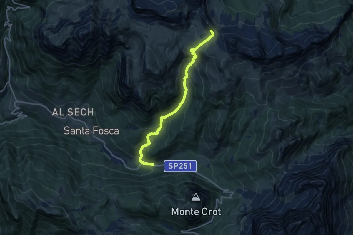
Pescul - Le Stroppe – F.lla d'Ambrizzola - inn. sent. 436
11.3 km · ↑ 793 m · 4 h 23 min · 8 km away
Medium · Trail
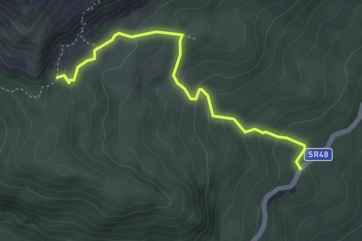
Ruvietta - S.R. 48 – Valorié - inn. sent. 222
3.8 km · ↑ 304 m · 1 h 33 min · 8 km away
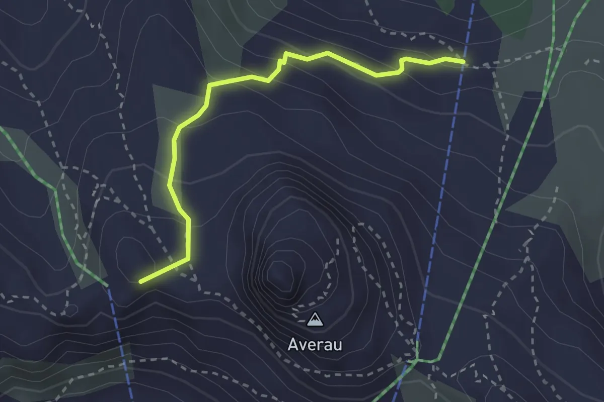
Medium · Summit
436 Sentiero Delle Trincee
2.5 km · ↑ 190 m · 1 h · 8 km away
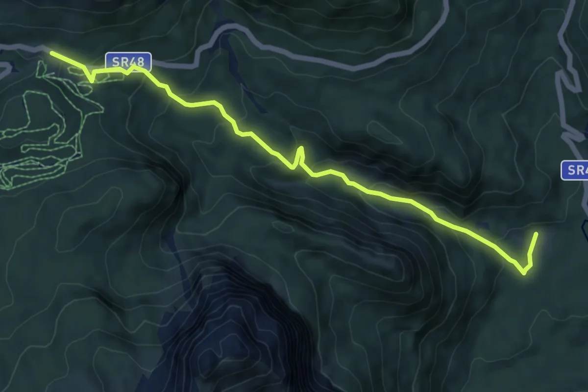
Medium · Trail
Alvera – Valbona
8.5 km · ↑ 454 m · 2 h 59 min · 8 km away
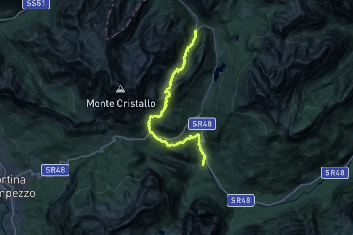
Demanding · Trail
Valbona, da sentiero 217-209 – Ponte di Val Popena Alta
10.5 km · ↑ 910 m · 4 h 27 min · 8 km away
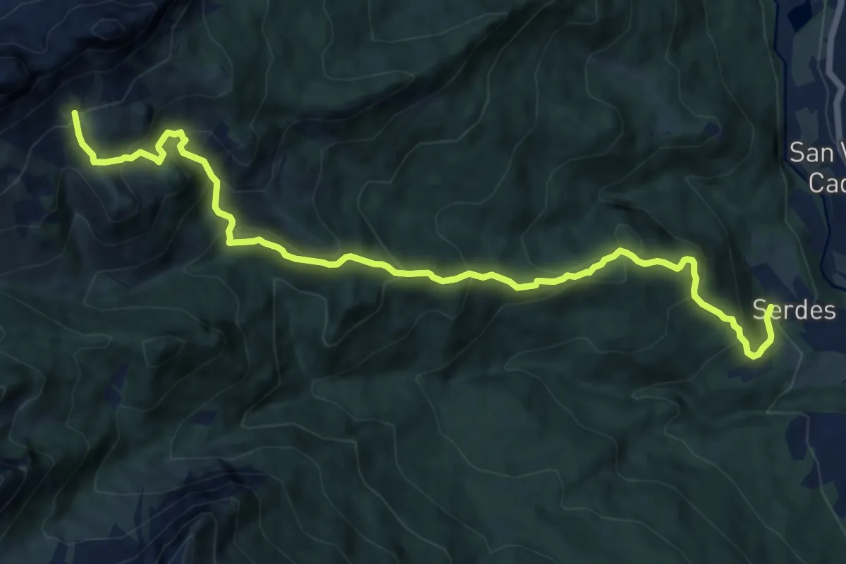
Demanding · Trail
Serdes - Chiesa di San Rocco – Sorarù - inn. sent. 436
12.7 km · ↑ 1045 m · 5 h 16 min · 8 km away
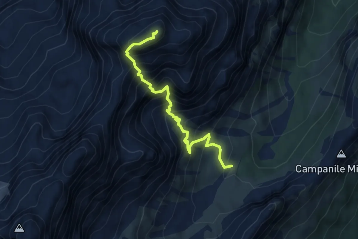
Demanding · Summit
Val Popena Alta – Cima Cristallino di Misurina
4.8 km · ↑ 800 m · 2 h 51 min · 8 km away
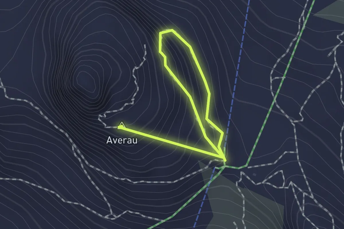
Expert · Summit
Forcella Nuvolau – Averau
1.9 km · ↑ 147 m · 46 min · 9 km away
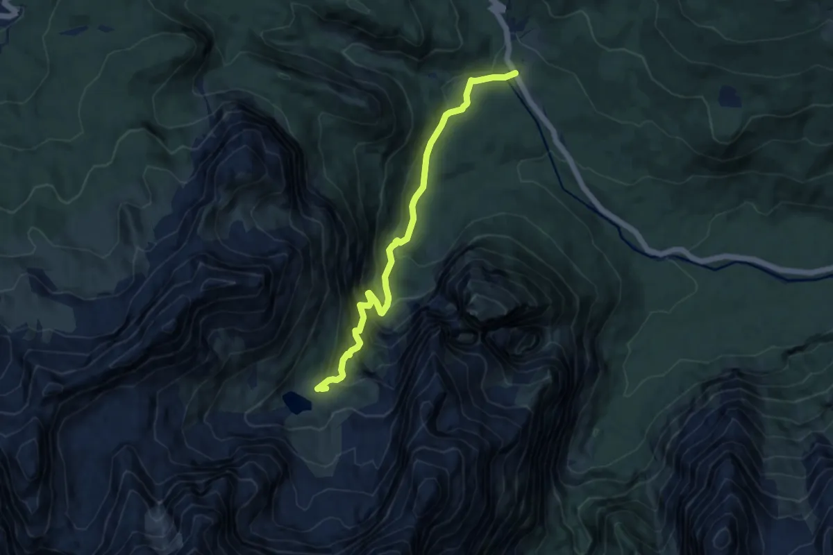
Medium · Cabin
Federa Vecia – Rifugio A. Vandelli
8.7 km · ↑ 732 m · 3 h 39 min · 9 km away
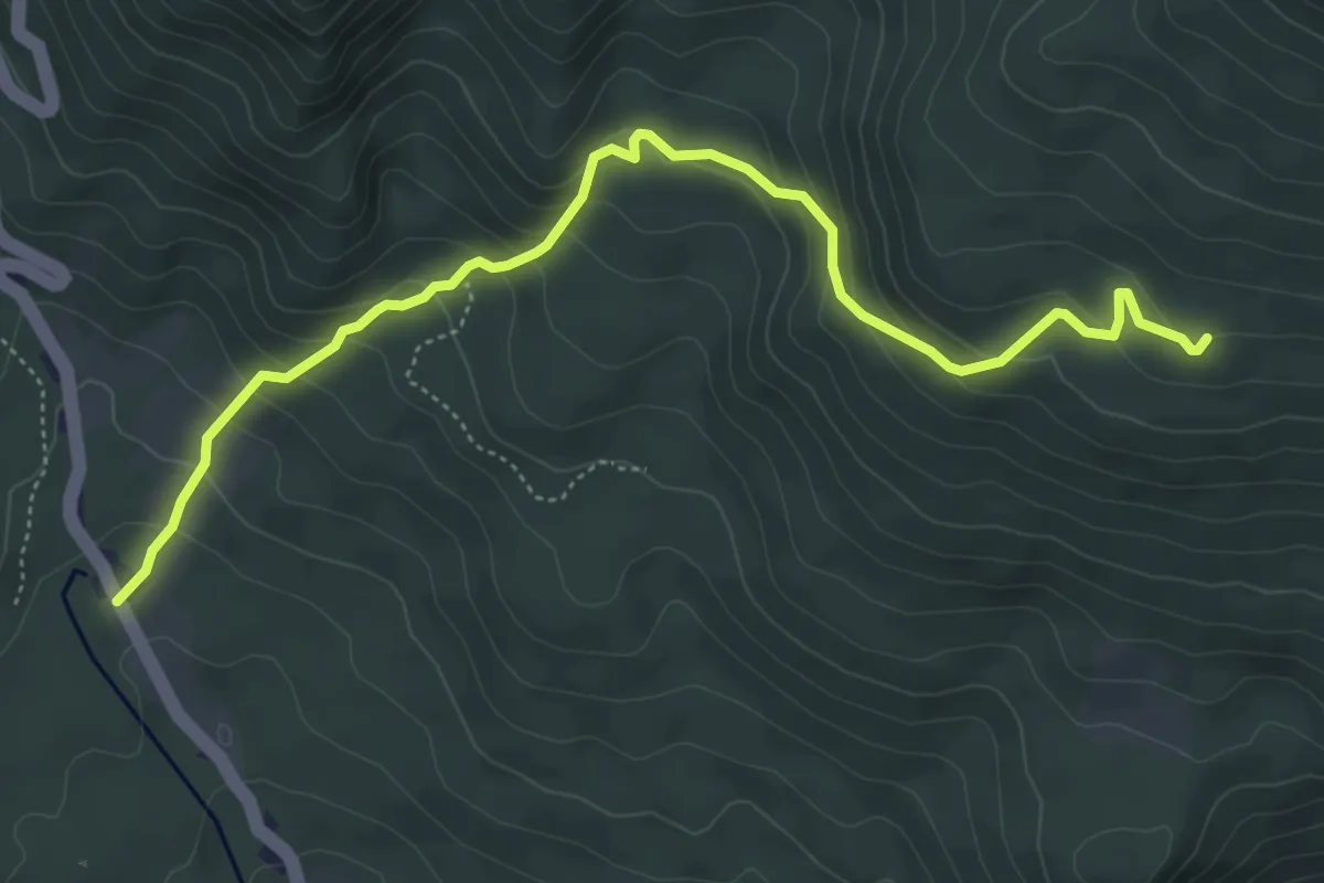
Medium · Trail
Federa Vecia - Albergo Cristallo – Maraia Bassa (innesto su sentiero 120)
5.8 km · ↑ 396 m · 2 h 14 min · 9 km away
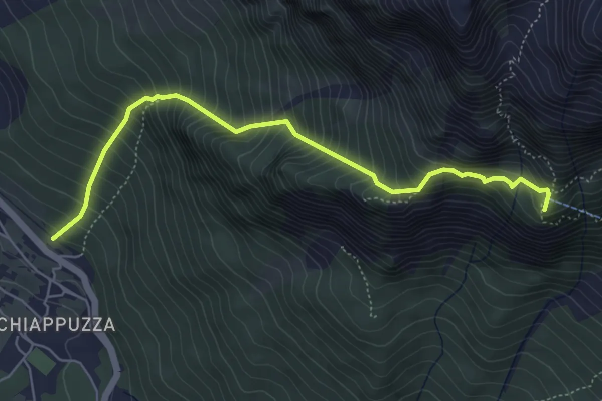
Demanding · Summit
Chiapuzza (da pista ciclabile) – Rifugio San Marco
5.3 km · ↑ 846 m · 3 h 4 min · 9 km away
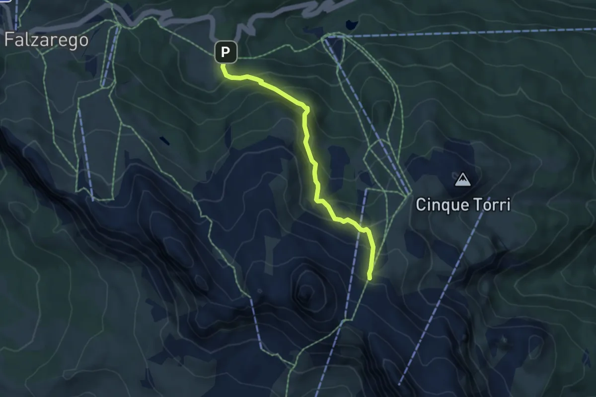
Medium · Trail
Pian dei Menis - S.R. 48 km 108,5 – nei pressi Rif. Scoiattoli - sentiero 439
4.9 km · ↑ 418 m · 2 h 4 min · 9 km away
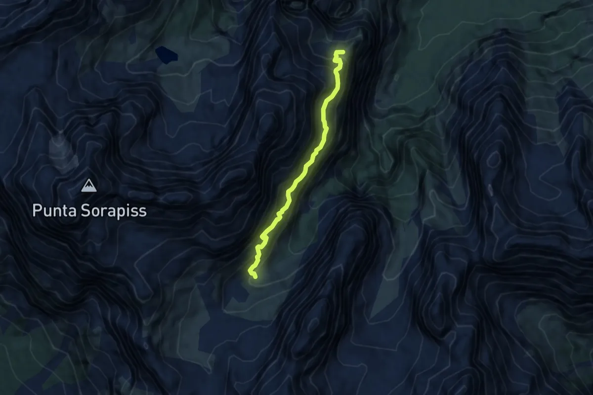
Expert · Summit
Sentiero attrezzato "Carlo MInazio"
6.7 km · ↑ 1038 m · 3 h 49 min · 9 km away
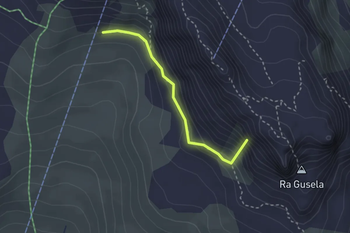
Medium · Summit
Passo Giau – inn. sent. 464 sotto Forcella Nuvolau
2.2 km · ↑ 192 m · 56 min · 9 km away
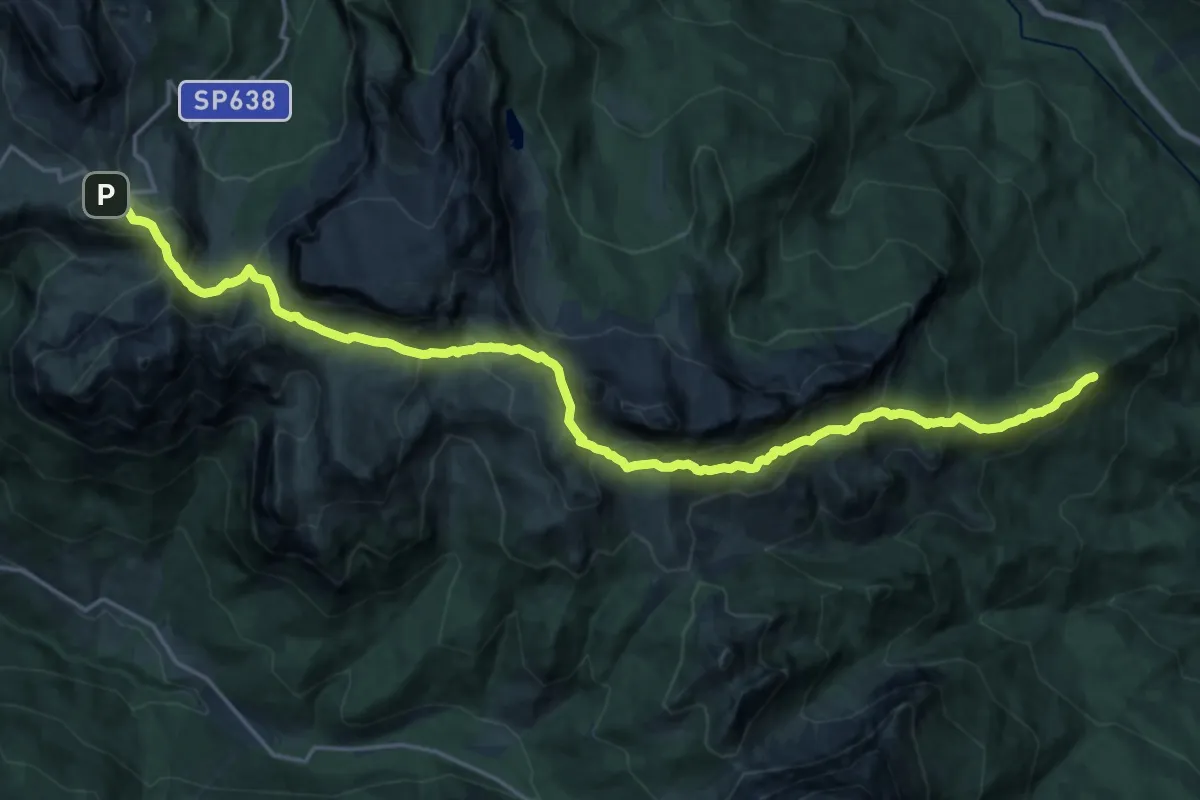
Demanding · Summit
Ponte del Moro - Lago di Mosigo – Passo Giau
23.3 km · ↑ 1401 m · 8 h 33 min · 9 km away
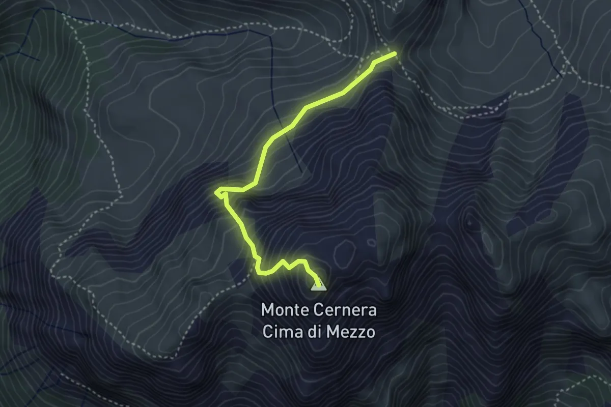
Demanding · Summit
Via Normale Monte Cernera
3.5 km · ↑ 483 m · 1 h 52 min · 9 km away
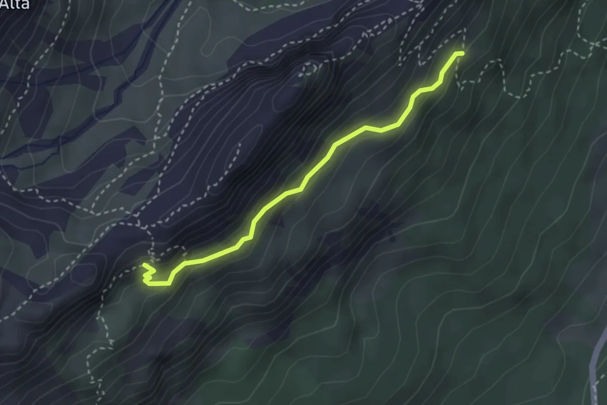
Demanding · Trail
Sotto Pale di Misurina da sentiero 224 – Sotto Forcella Popena, innesto su sentiero 222
2.8 km · ↑ 185 m · 1 h 4 min · 9 km away
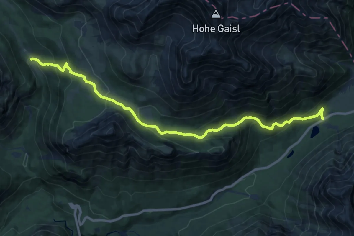
Demanding · Trail
SS51 km 117 sotto Cimabanche – Sopra Malga Ra Stua - innesto sentiero 6
14.0 km · ↑ 855 m · 5 h 9 min · 9 km away
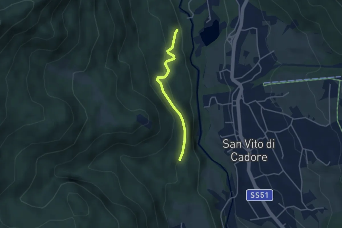
Easy · Trail
Panoramica
2.6 km · ↑ 131 m · 54 min · 9 km away
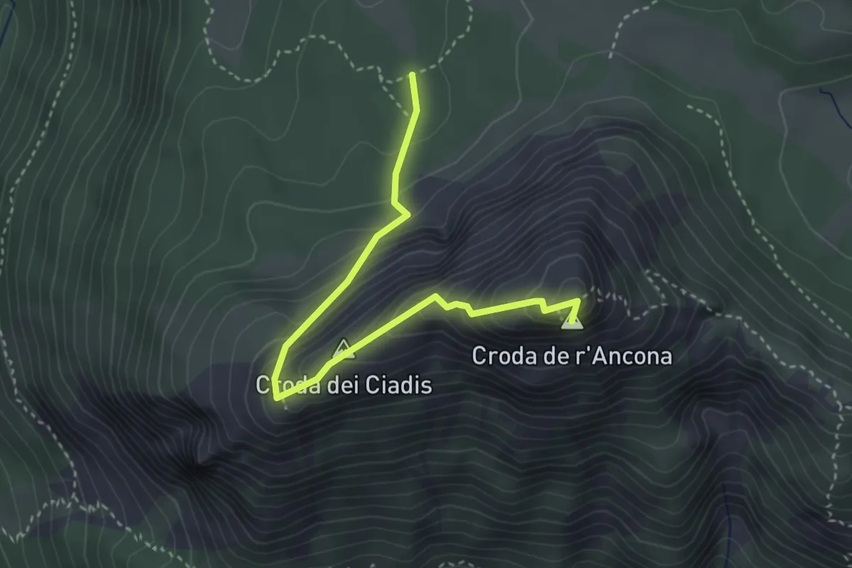
Medium · Summit
Croda de r'Ancona
3.5 km · ↑ 359 m · 1 h 36 min · 9 km away
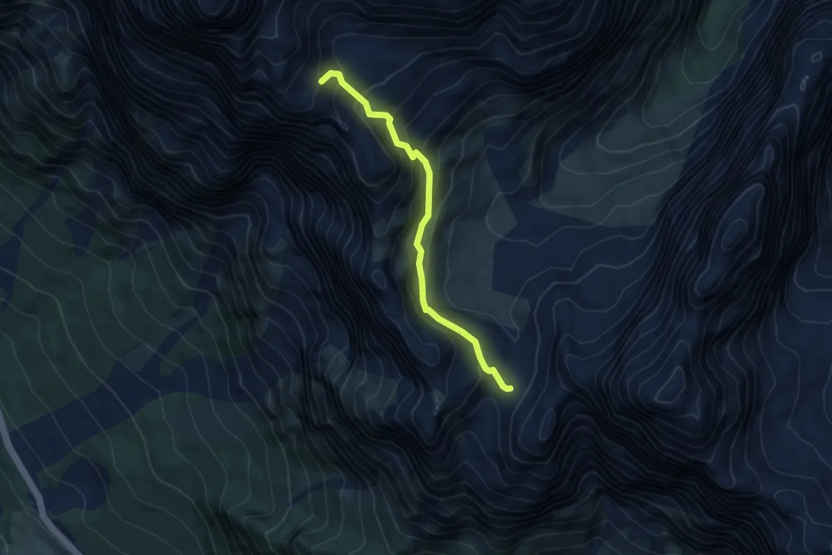
Medium · Cabin
Forcella Grande - da percorso 226 – Bivacco Slataper
4.8 km · ↑ 452 m · 2 h 6 min · 9 km away
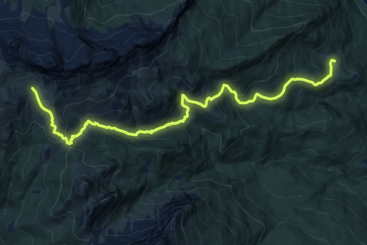
Demanding · Trail
San Vito - Ponte di Serdes – Malga Prendera - innesto sentiero 436
17.0 km · ↑ 1189 m · 6 h 35 min · 9 km away