Trails near Cortina d'Ampezzo
184 hikes starting within 15 km, nearest first.
Nearest first, page 4 of 4
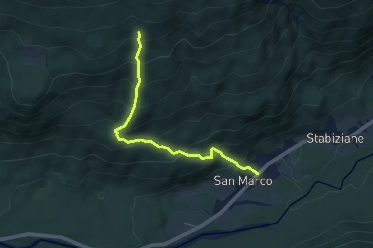
Medium · Trail
Stabiziane - da S.R. 48 al km. 143,850 – Stabenrigo Auto, innesto su sentiero 120
4.5 km · ↑ 480 m · 2 h 6 min · 12 km away
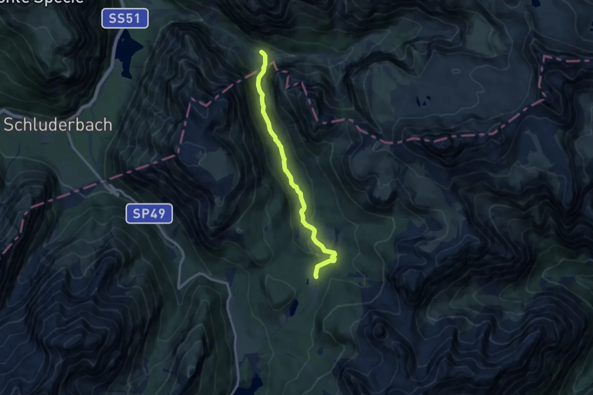
Medium · Trail
Misurina, casello strada Tre Cime – Valle della Rienza, innesto su sent. 102
8.6 km · ↑ 341 m · 2 h 46 min · 12 km away
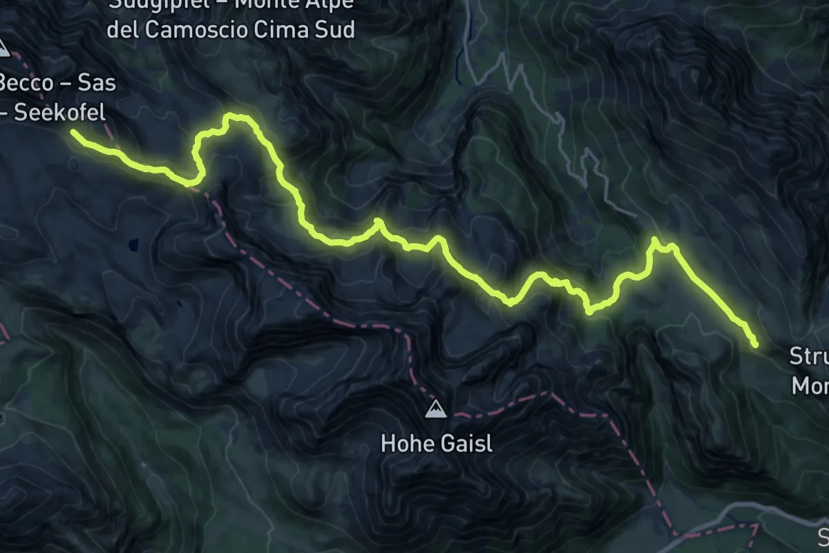
Demanding · Cabin
Via Alpina Red R28
13.3 km · ↑ 835 m · 4 h 58 min · 12 km away
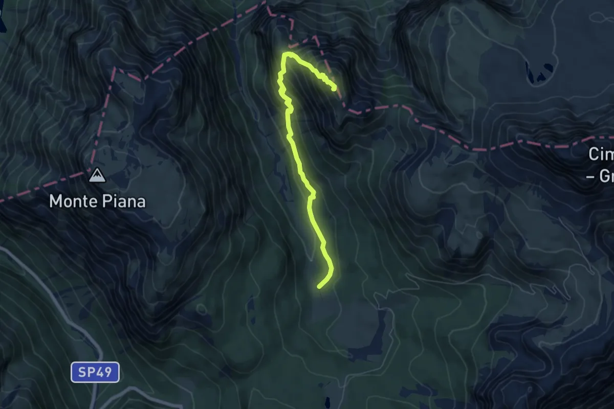
Demanding · Summit
Valle di Rinbianco, da sentiero 108 – Malga Rinbianco
5.9 km · ↑ 498 m · 2 h 29 min · 13 km away
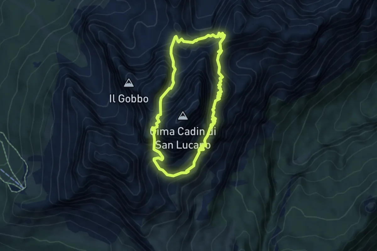
Expert · Summit
Sentiero Durissini
5.0 km · ↑ 872 m · 3 h 8 min · 13 km away
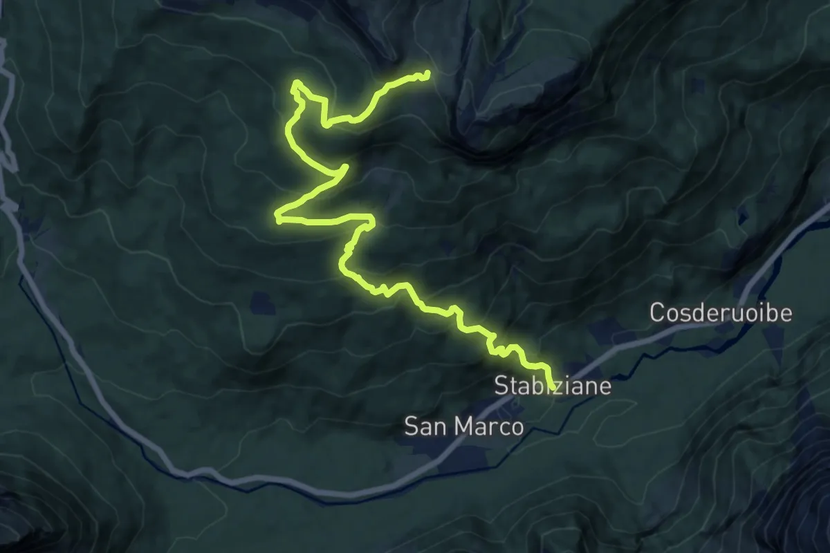
Demanding · Cabin
Stabiziane (Palus S. Marco) da S.R. 48 al km. 143,400 – Rifugio Città di Carpi
14.9 km · ↑ 1055 m · 5 h 48 min · 13 km away
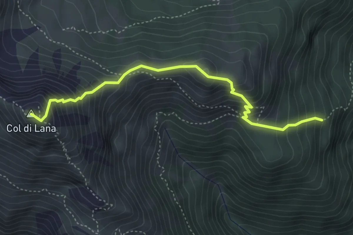
Medium · Summit
sent. 37 sopra Castello – Cima Col di Lana
4.4 km · ↑ 540 m · 2 h 12 min · 13 km away
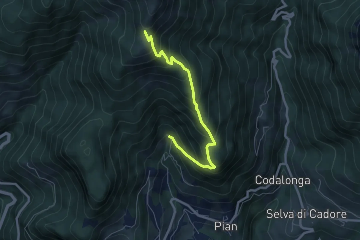
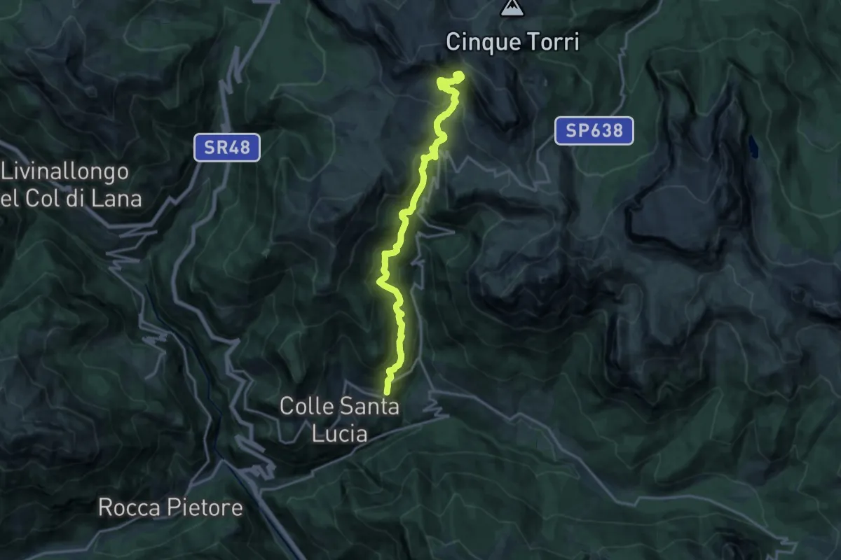
Medium · Trail
Colle Santa Lucia loc. Ru – inn. sent. 463 in loc. Ciadign
5.6 km · ↑ 524 m · 2 h 27 min · 13 km away
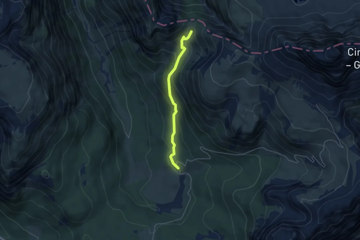
Medium · Trail
Dai pressi di Malga Rinbianco, da strada per le Tre CIme – Sotto Forcella de l Arghéna – innesto sentiero 108a
3.6 km · ↑ 243 m · 1 h 22 min · 13 km away
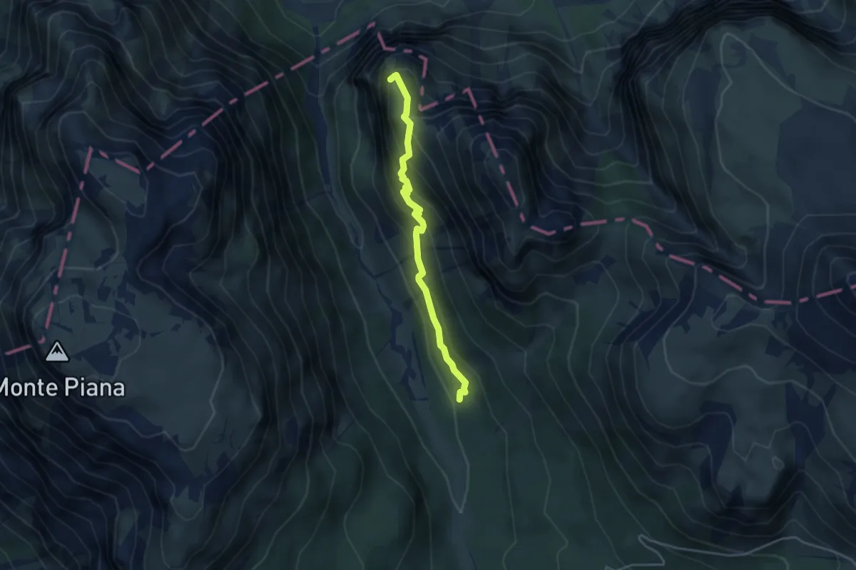
Medium · Summit
Silvano De Romedi
3.6 km · ↑ 261 m · 1 h 25 min · 13 km away
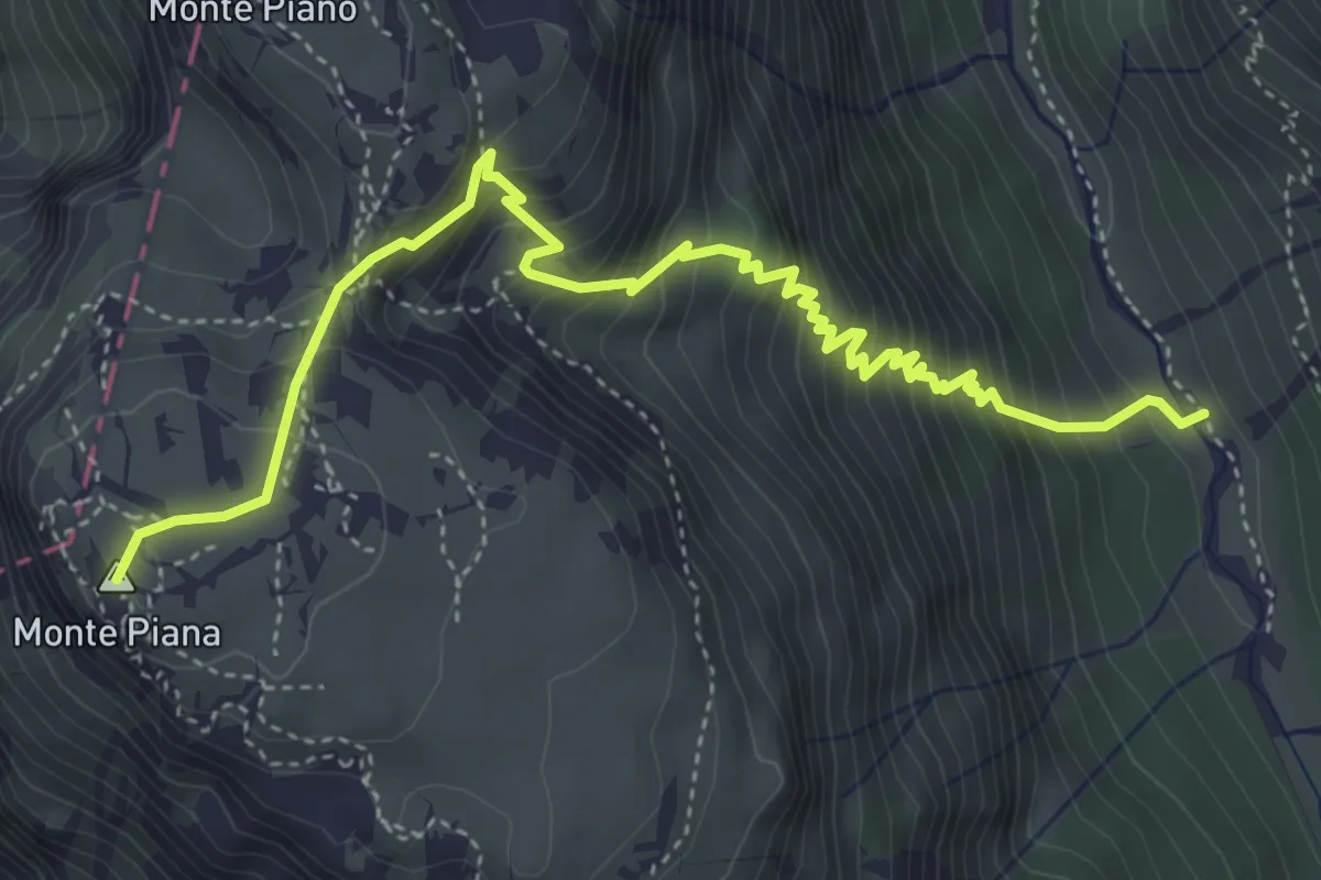
Demanding · Cabin
Colle Santa Lucia-Pian – inn. sent 441 sotto Forcella Nuvolau
15.2 km · ↑ 1274 m · 6 h 20 min · 13 km away
Demanding · Summit
Val de Rinbianco, da sent. 108 – Monte Piana, Piramide Carducci
5.3 km · ↑ 693 m · 2 h 46 min · 13 km away
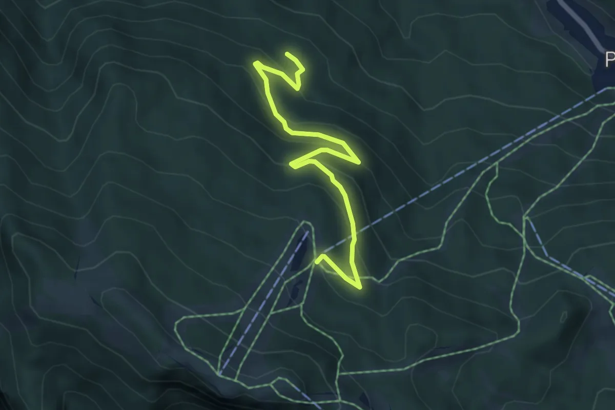
Easy · Cabin
Sentiero C.A.I. 569 (incomplete)
5.3 km · ↑ 291 m · 1 h 53 min · 13 km away
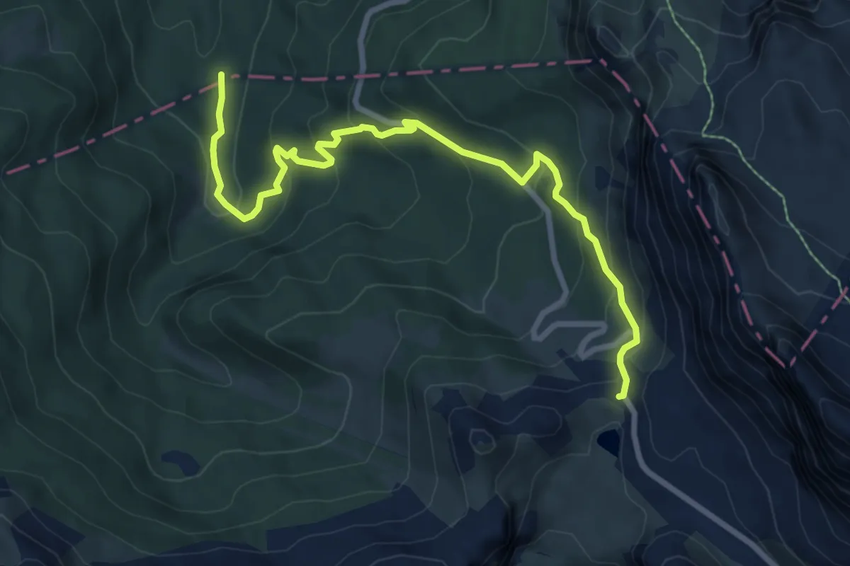
Medium · Cabin
Tornante S.P. 24 - dopo passo Valparola – Malga Valparola - confine Regione
8.4 km · ↑ 467 m · 3 h · 13 km away
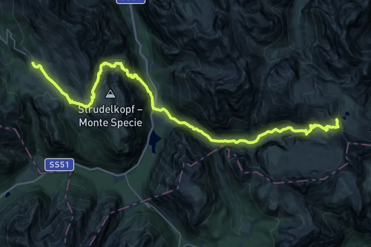
Demanding · Cabin
Dolomites World Heritage Geotrail 15
16.1 km · ↑ 1431 m · 6 h 54 min · 13 km away
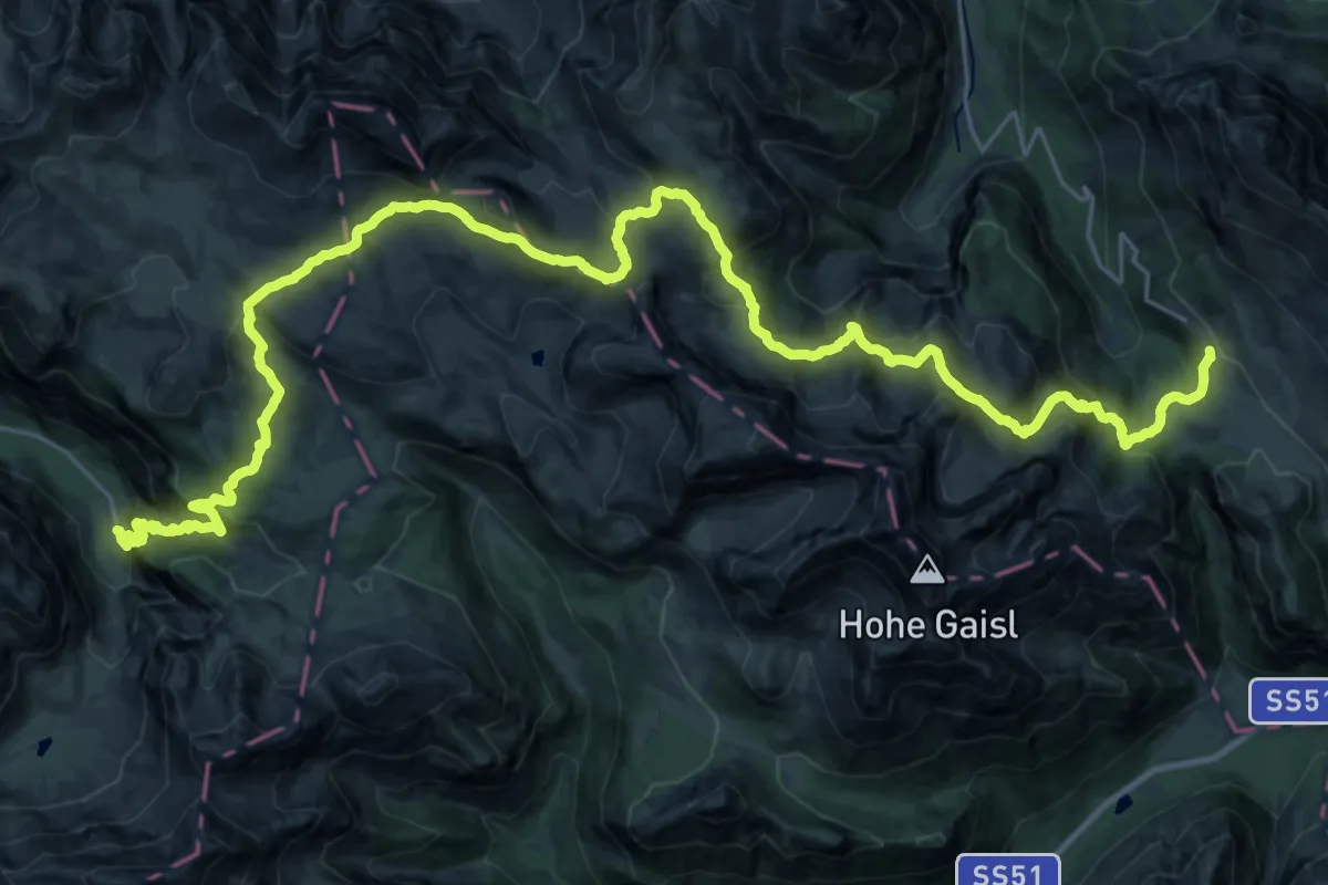
Demanding · Trail
Dolomites World Heritage Geotrail 14
18.8 km · ↑ 927 m · 6 h 56 min · 13 km away
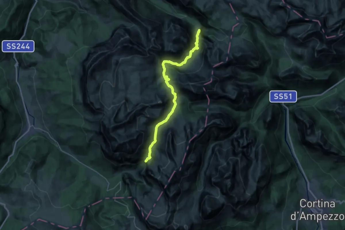
Demanding · Summit
Dolomites World Heritage Geotrail 13
24.3 km · ↑ 1081 m · 8 h 4 min · 13 km away
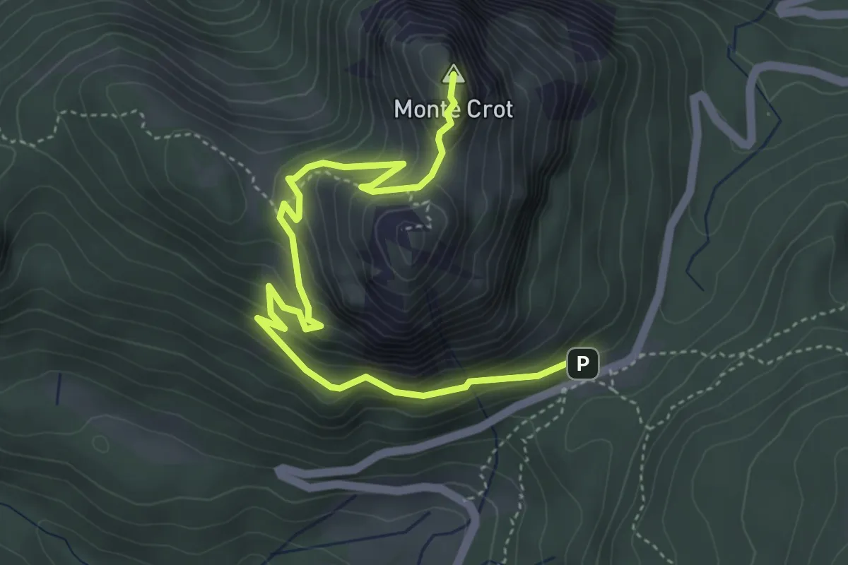
Medium · Summit
Monte Crot
5.3 km · ↑ 459 m · 2 h 15 min · 13 km away
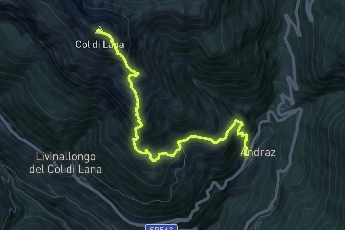
Demanding · Summit
Andraz – Bivacco Sief - sentiero 23
9.0 km · ↑ 1115 m · 4 h 32 min · 13 km away
Medium · Cabin
Rifugio Galassi – sotto Forcella del Ghiacciaio, alla base del Lastron di Pian dei Arboi
3.4 km · ↑ 372 m · 1 h 37 min · 13 km away
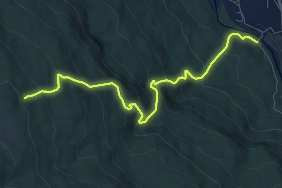
Medium · Trail
Borca - Ponte di Cancia – Malga Ciauta - inn. sent. 475
7.2 km · ↑ 612 m · 3 h 1 min · 13 km away
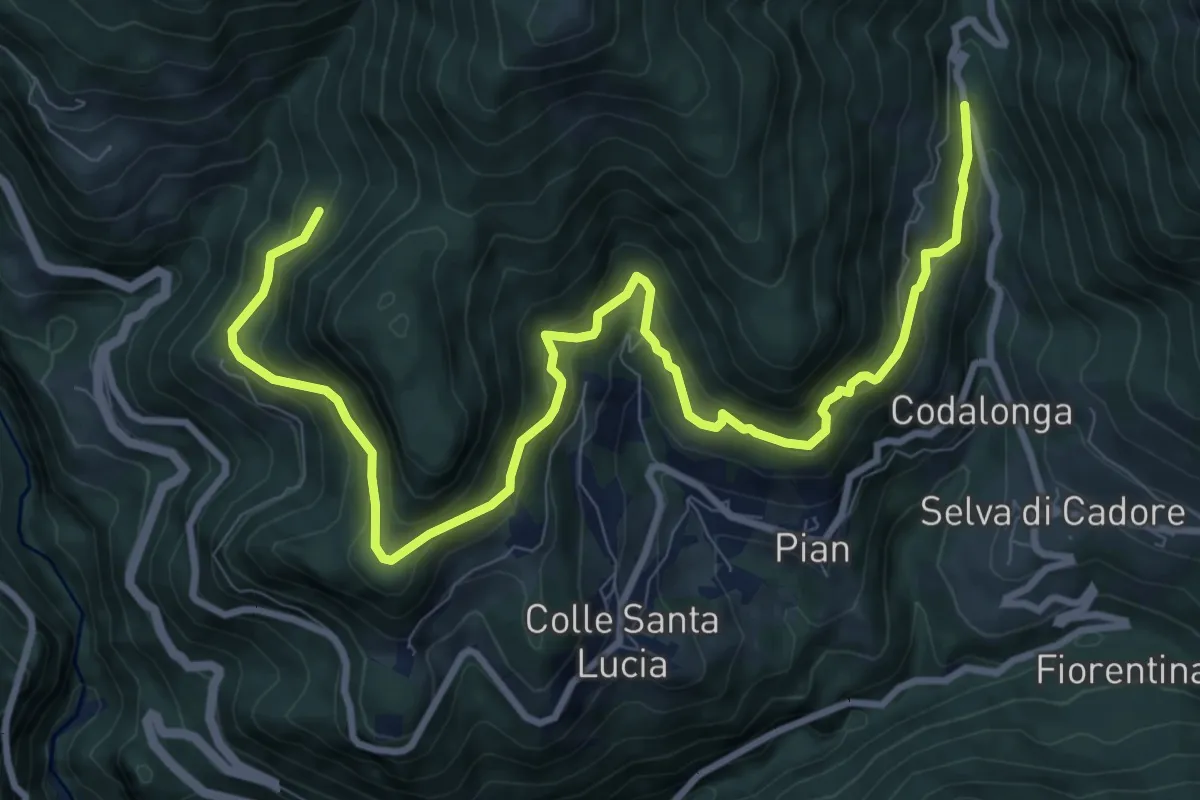
Demanding · Trail
Strada da la Vena
12.0 km · ↑ 806 m · 4 h 35 min · 14 km away
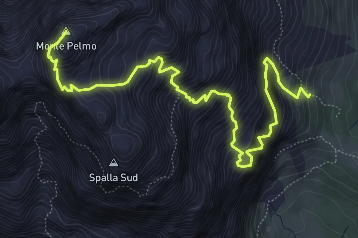
Expert · Summit
Via normale Monte Pelmo
8.1 km · ↑ 1781 m · 5 h 46 min · 14 km away
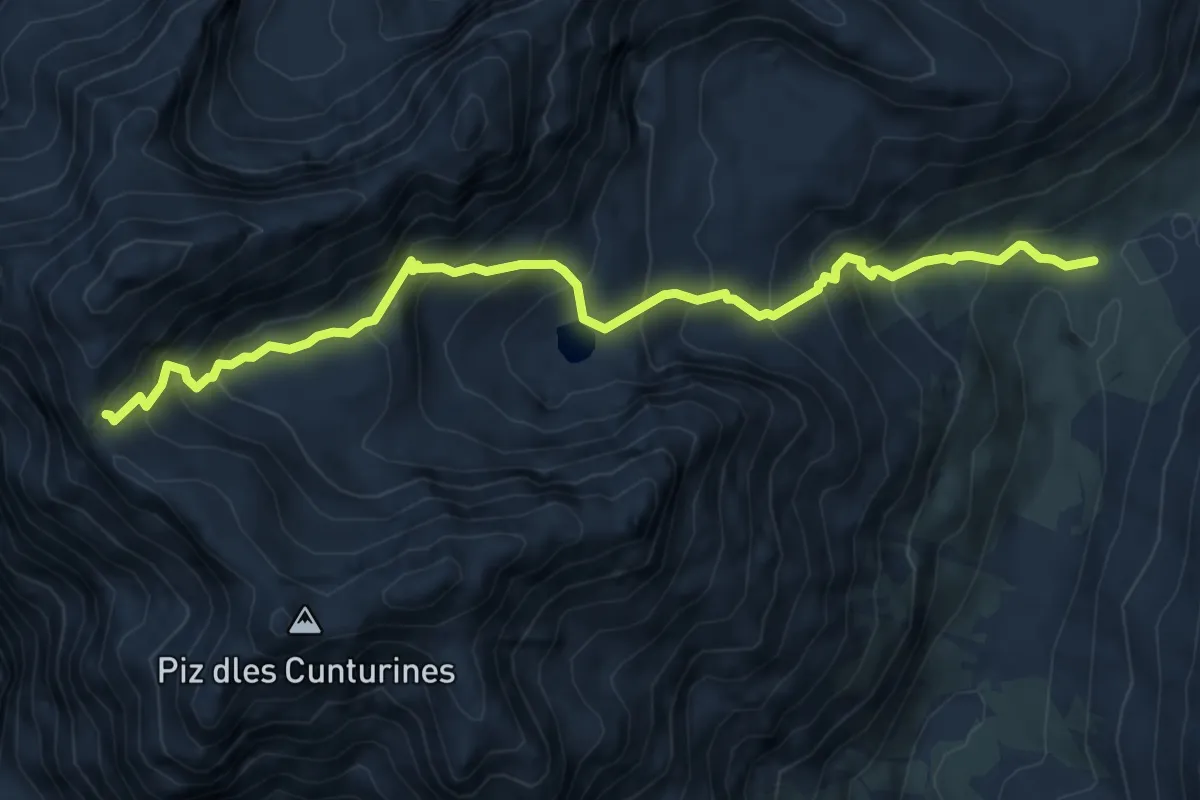
Demanding · Trail
Tru Dolomieu
7.2 km · ↑ 746 m · 3 h 20 min · 14 km away
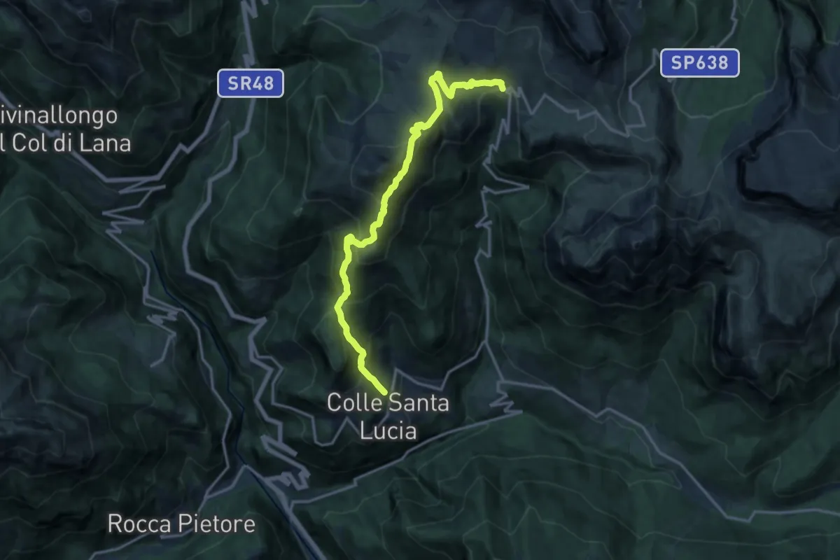
Demanding · Cabin
Colle Santa Lucia-Villagrande – Rifugio Fedare
14.4 km · ↑ 1148 m · 5 h 53 min · 14 km away
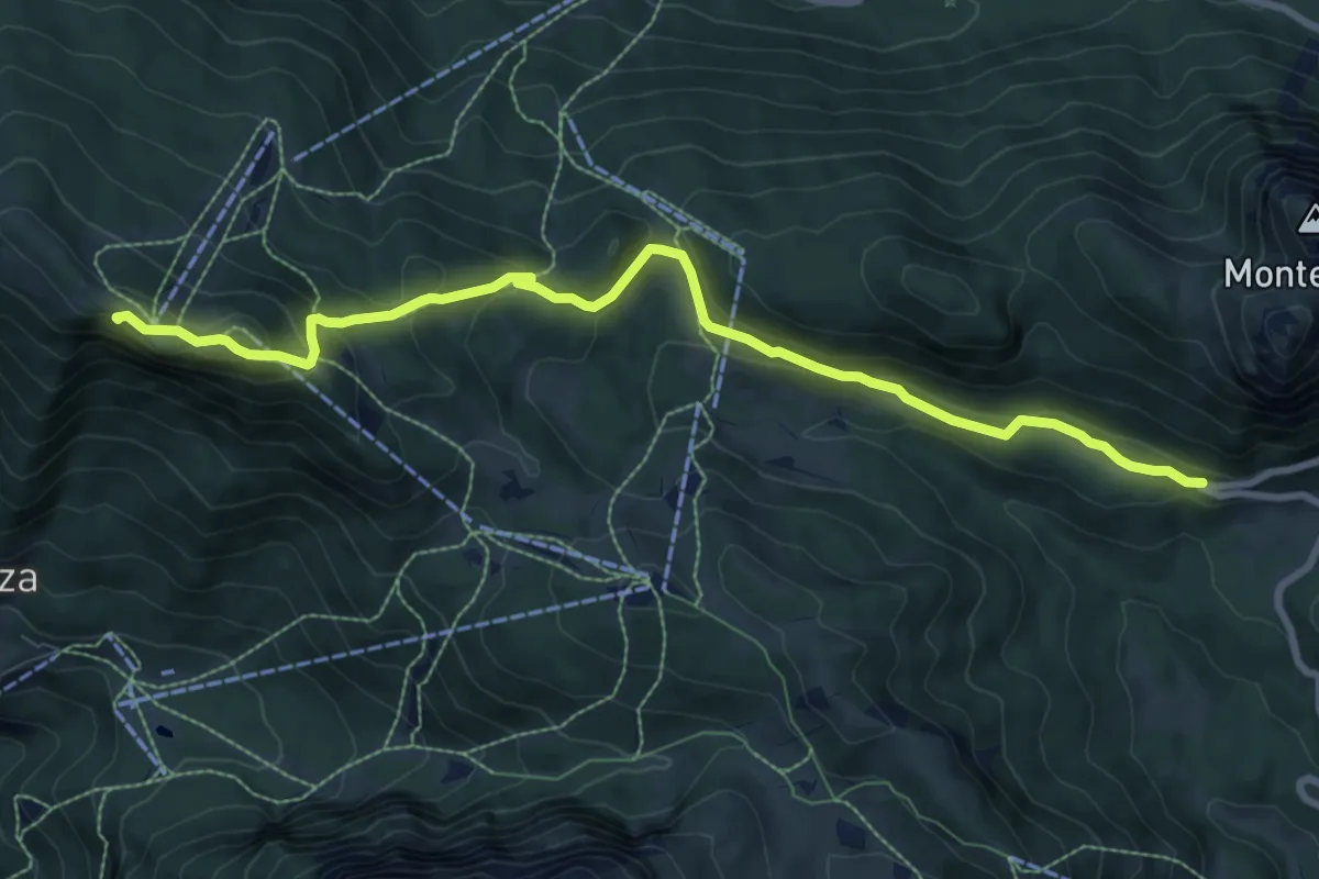
Medium · Summit
S.P. 251 - tornante nei pressi Casera Staulanza – Cima dei Viai - Fernazza - innesto sentiero 566
9.4 km · ↑ 396 m · 3 h 5 min · 14 km away
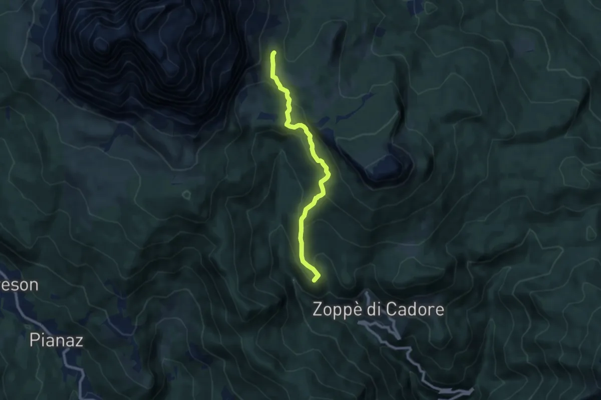
Medium · Summit
Zoppè - Località Sagui – Rifugio Venezia-De Luca al Pelmo
7.3 km · ↑ 467 m · 2 h 45 min · 14 km away
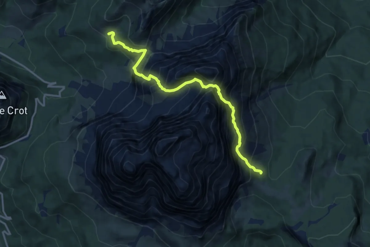
Demanding · Cabin
Rifugio Venezia – Rifugio Città di Fiume
9.8 km · ↑ 1443 m · 5 h 26 min · 14 km away
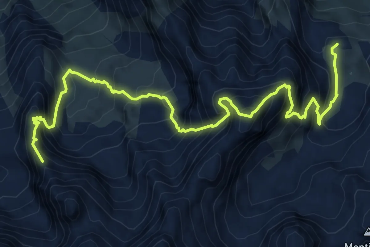
Expert · Summit
Sentiero attrezzato Antonio Sanmarchi
9.8 km · ↑ 1316 m · 5 h 10 min · 14 km away
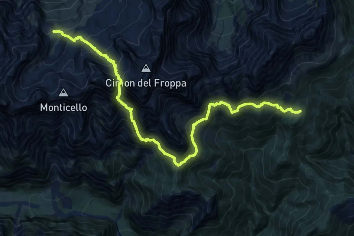
Expert · Cabin
Alta via n. 5 delle Dolomiti - IV Tappa
9.6 km · ↑ 862 m · 4 h 28 min · 14 km away
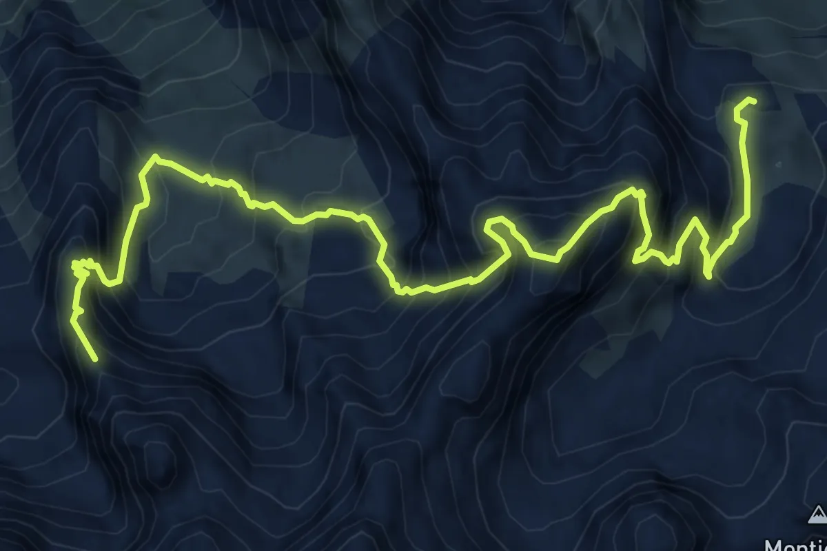
Expert · Summit
Alta via n. 5 delle Dolomiti - V Tappa
9.8 km · ↑ 1304 m · 5 h 9 min · 14 km away
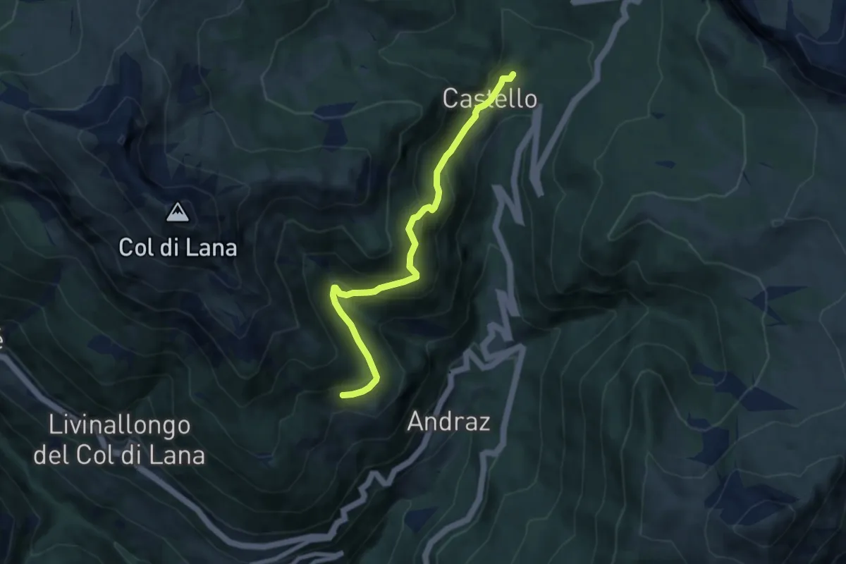
Medium · Trail
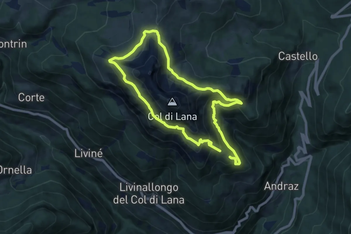
Castello di Andraz – Agai
6.8 km · ↑ 493 m · 2 h 40 min · 14 km away
Demanding · Trail
Teriol Ladin
16.5 km · ↑ 1216 m · 6 h 32 min · 14 km away
Demanding · Trail
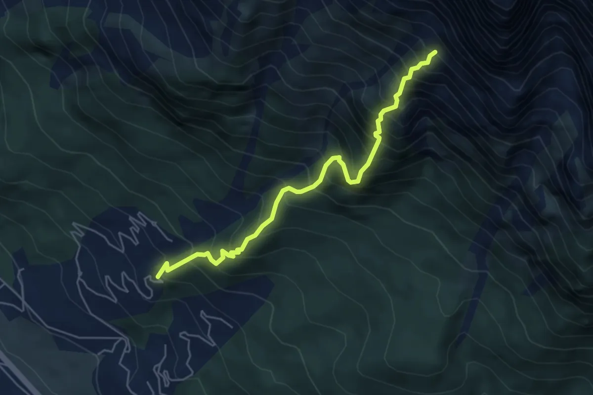
Corte - ex Villaggio ENI- gruppo ville 100 – Busa della Ciaudièra - ex Bivacco Brunetta
5.2 km · ↑ 966 m · 3 h 19 min · 14 km away
Demanding · Trail
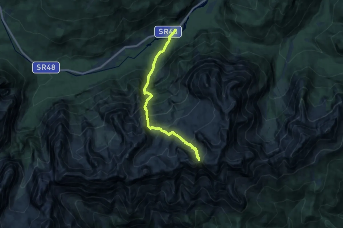
Tornede - Colonia Alpina D. Savio - da S.R. 48 – Forcella Jou de la Tana
13.0 km · ↑ 1593 m · 6 h 32 min · 14 km away
Easy · Trail
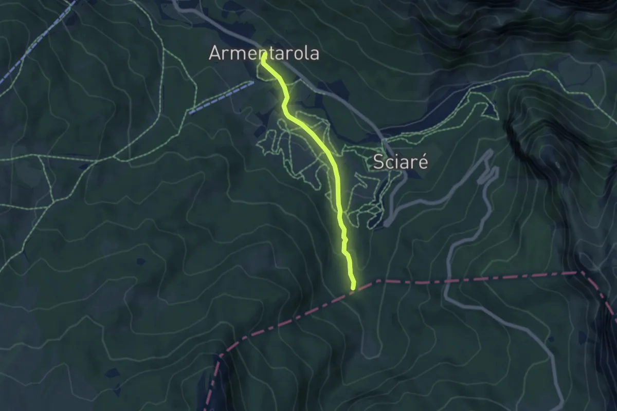
Tru dl Fër
4.3 km · ↑ 96 m · 1 h 14 min · 14 km away
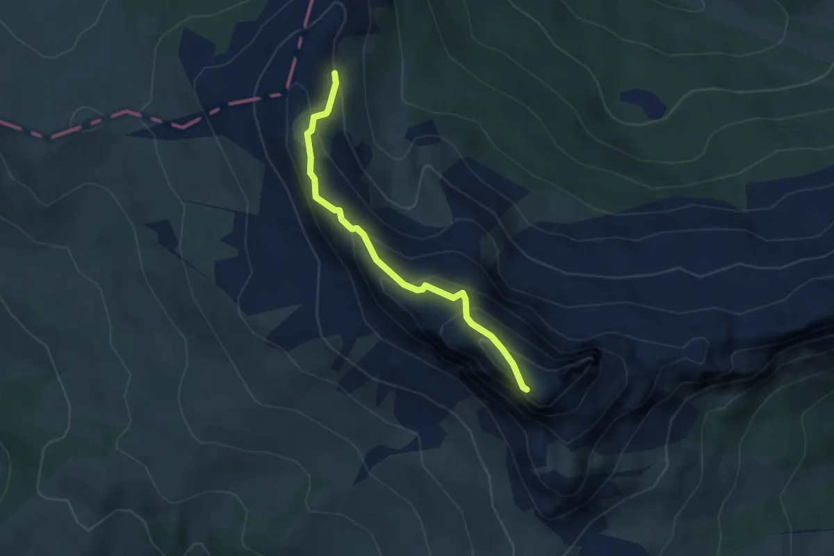
Demanding · Summit
sent. 24 nei pressi di Les Pizades – Cima Settsass Ovest
3.4 km · ↑ 294 m · 1 h 27 min · 15 km away
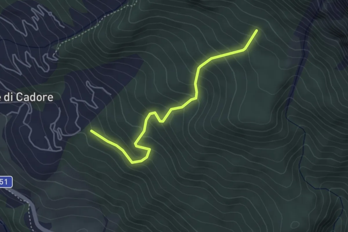
Medium · Trail
Vodo - Costa Sonvigo – Innesto sent. n.230
4.0 km · ↑ 370 m · 1 h 44 min · 15 km away
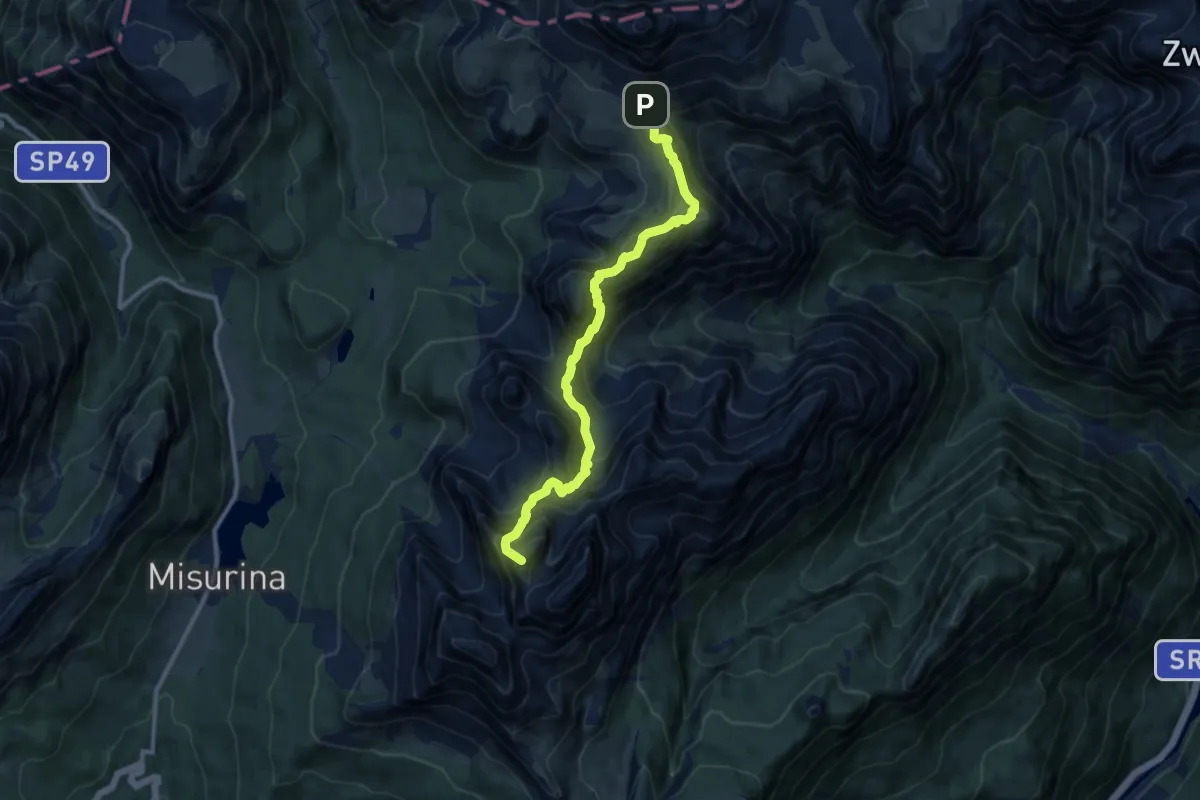
Expert · Summit
Sentiero Bonacossa
10.2 km · ↑ 1073 m · 4 h 45 min · 15 km away
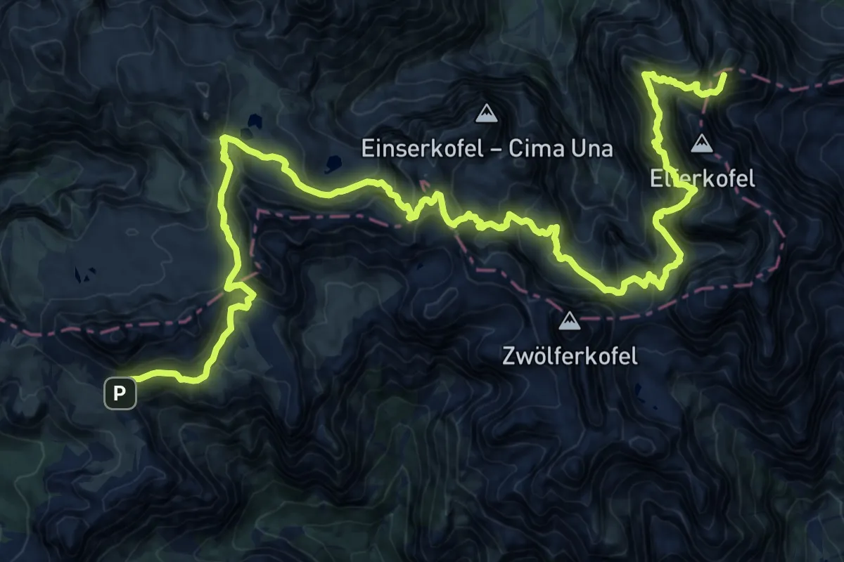
Expert · Summit
Rifugio Lunelli a Selvapiana – Rifugio Auronzo
31.6 km · ↑ 2841 m · 13 h 37 min · 15 km away