Trails near Cortona
16 hikes starting within 15 km, nearest first.
Nearest first
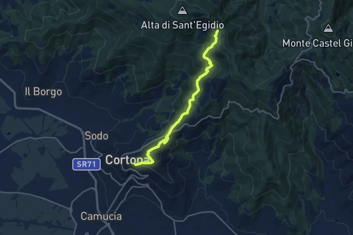
Medium · Trail
Sentiero 50 (Croce di Sant'Egidio) – Cortona
11.2 km · ↑ 622 m · 3 h 59 min · under 1 km away
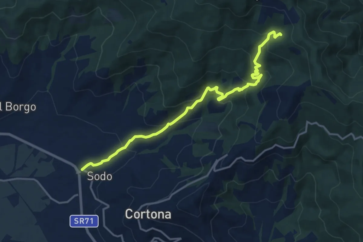
Medium · Trail
Sentiero 161 – Località Il Sodo
11.6 km · ↑ 733 m · 4 h 19 min · 4 km away
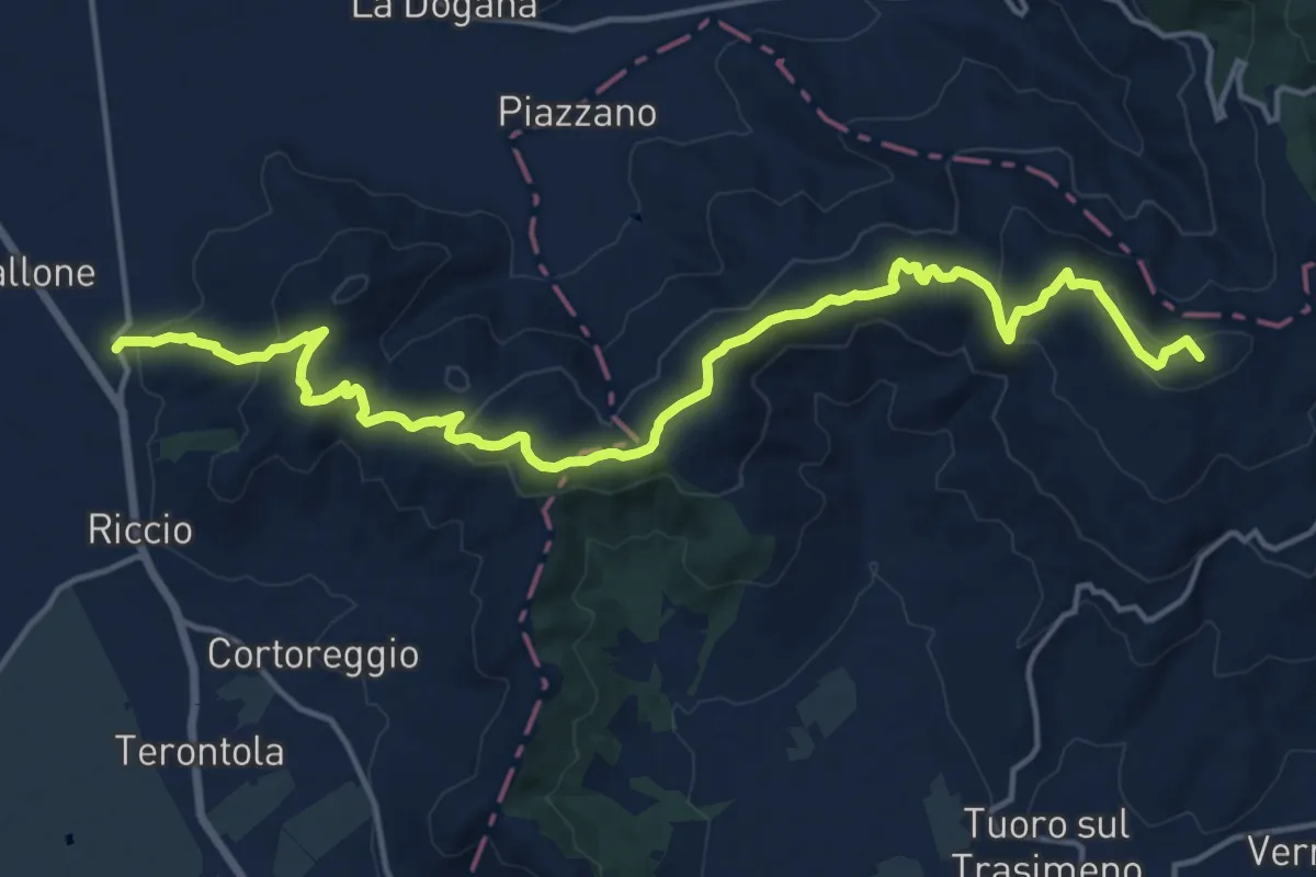
Demanding · Summit
CAI 50 Località Casa Tiravento – Ossaia
19.9 km · ↑ 699 m · 6 h 13 min · 5 km away
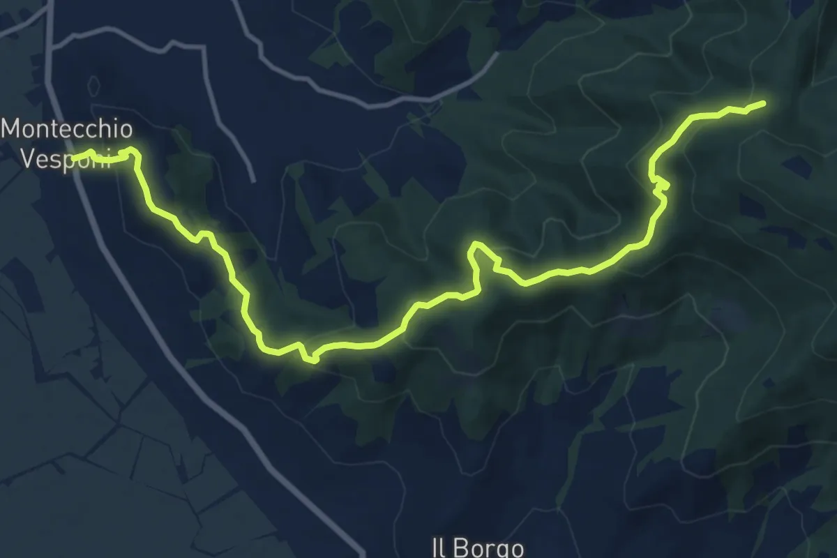
Medium · Trail
Sentiero 50 in Località La Ripa di Sopra – SR 71 Località Montecchio
14.7 km · ↑ 662 m · 4 h 55 min · 5 km away
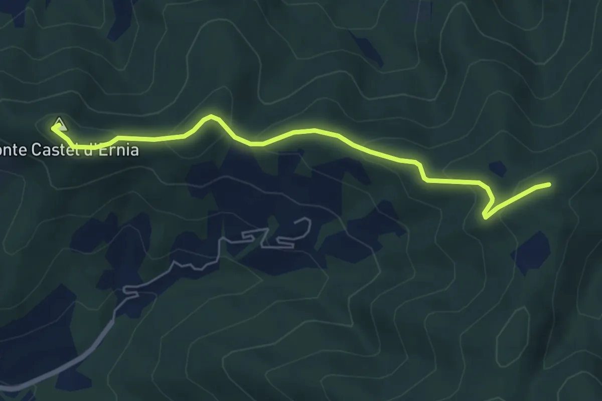
Easy · Summit
Sentiero 50 Località Spinabbio – Strada Provinciale 39 c/o Cappuccini Castiglion Fiorentino
5.7 km · ↑ 261 m · 1 h 55 min · 6 km away
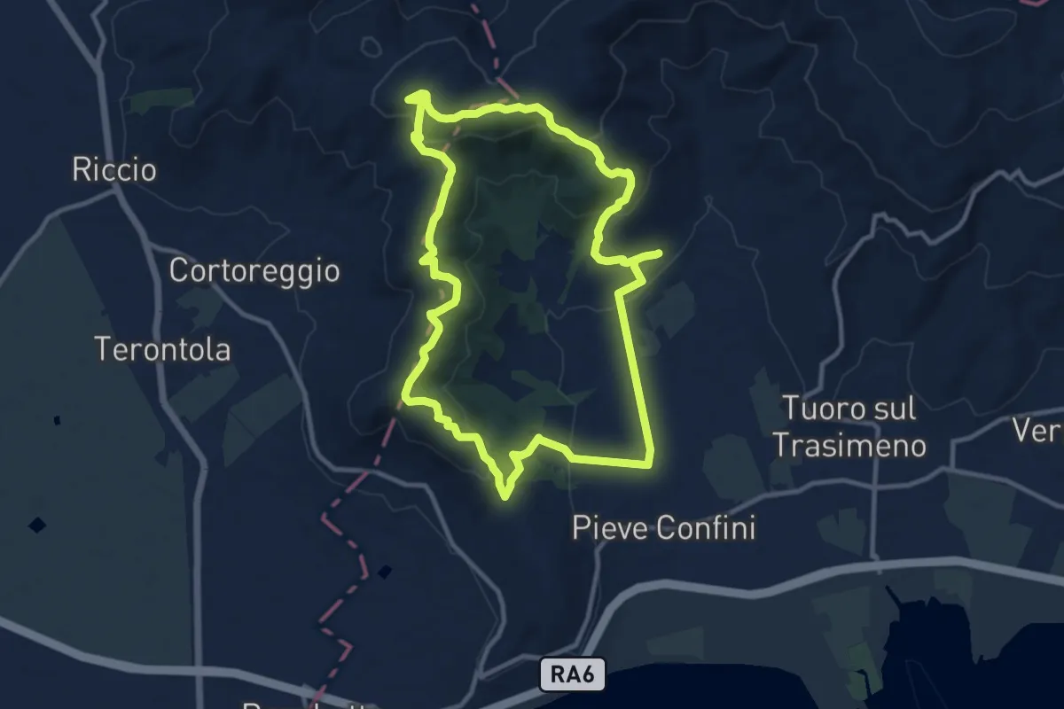
Medium · Summit
Sanguineto – Sanguineto
11.2 km · ↑ 366 m · 3 h 36 min · 8 km away
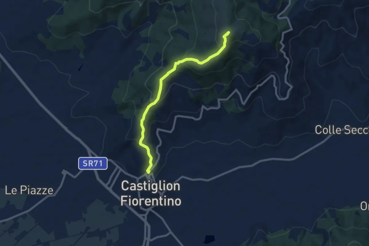
Medium · Summit
Sentiero 50 C/o Monte Castiglion Maggio – Castiglion Fiorentino
6.8 km · ↑ 453 m · 2 h 36 min · 9 km away
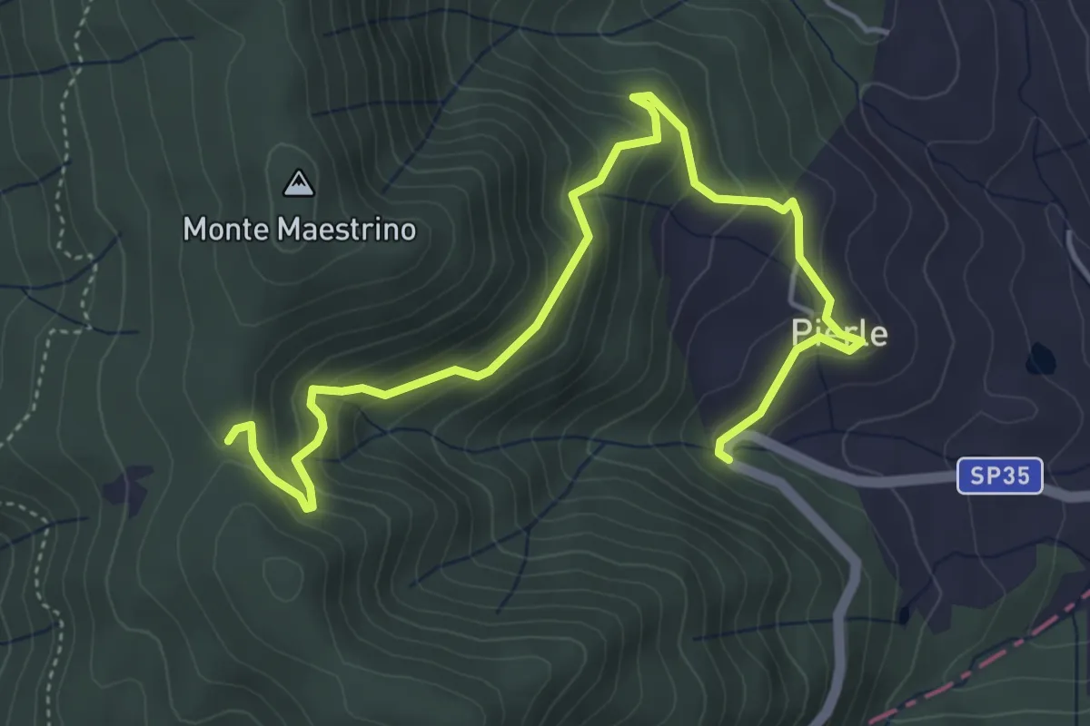
Medium · Trail
Sentiero 50 località Dancialena – SP 35 in Località Pierle
5.9 km · ↑ 361 m · 2 h 11 min · 10 km away
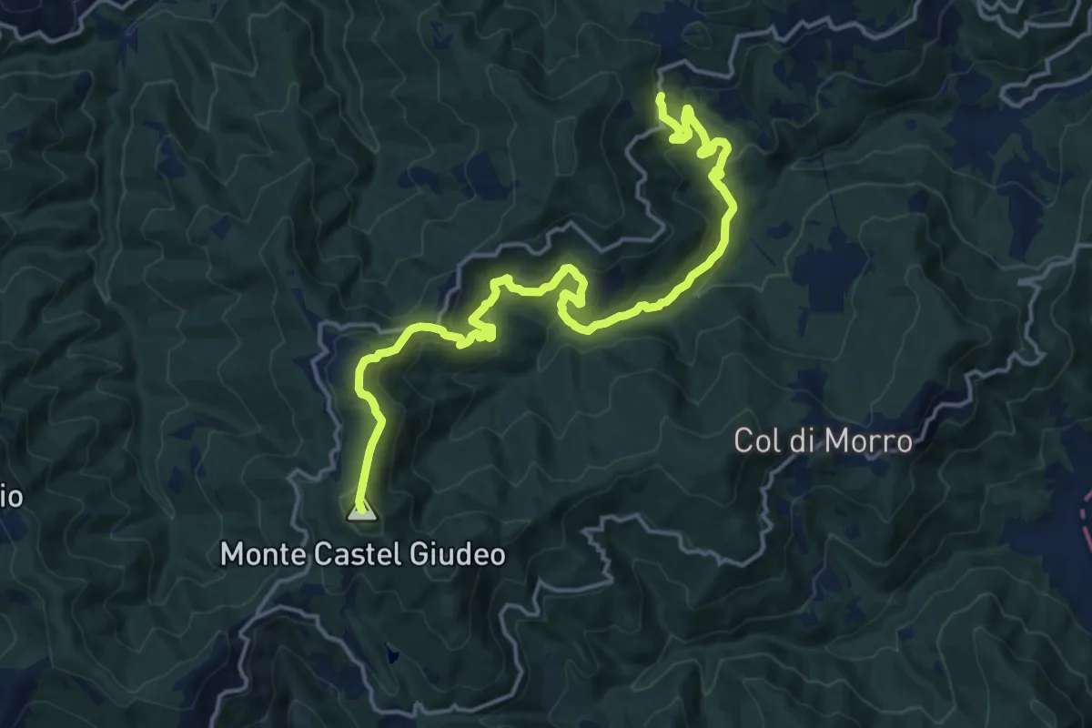
Demanding · Summit
Sentiro 50 c/o Portole – SP38 c/o Vaglie e Adatti
18.6 km · ↑ 891 m · 6 h 19 min · 11 km away
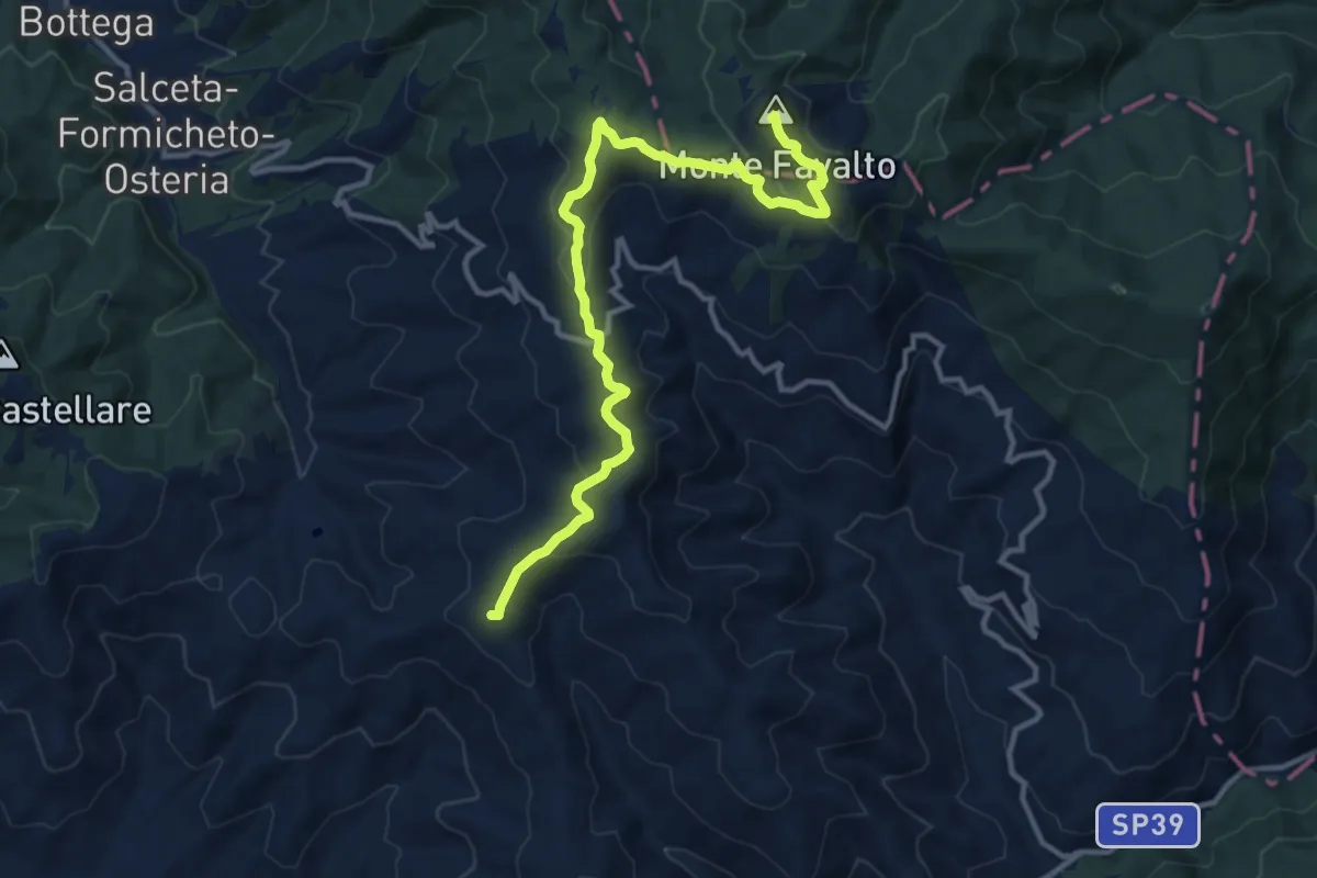
Medium · Summit
Sentiero 50 – Monte Favalto
13.6 km · ↑ 457 m · 4 h 12 min · 11 km away
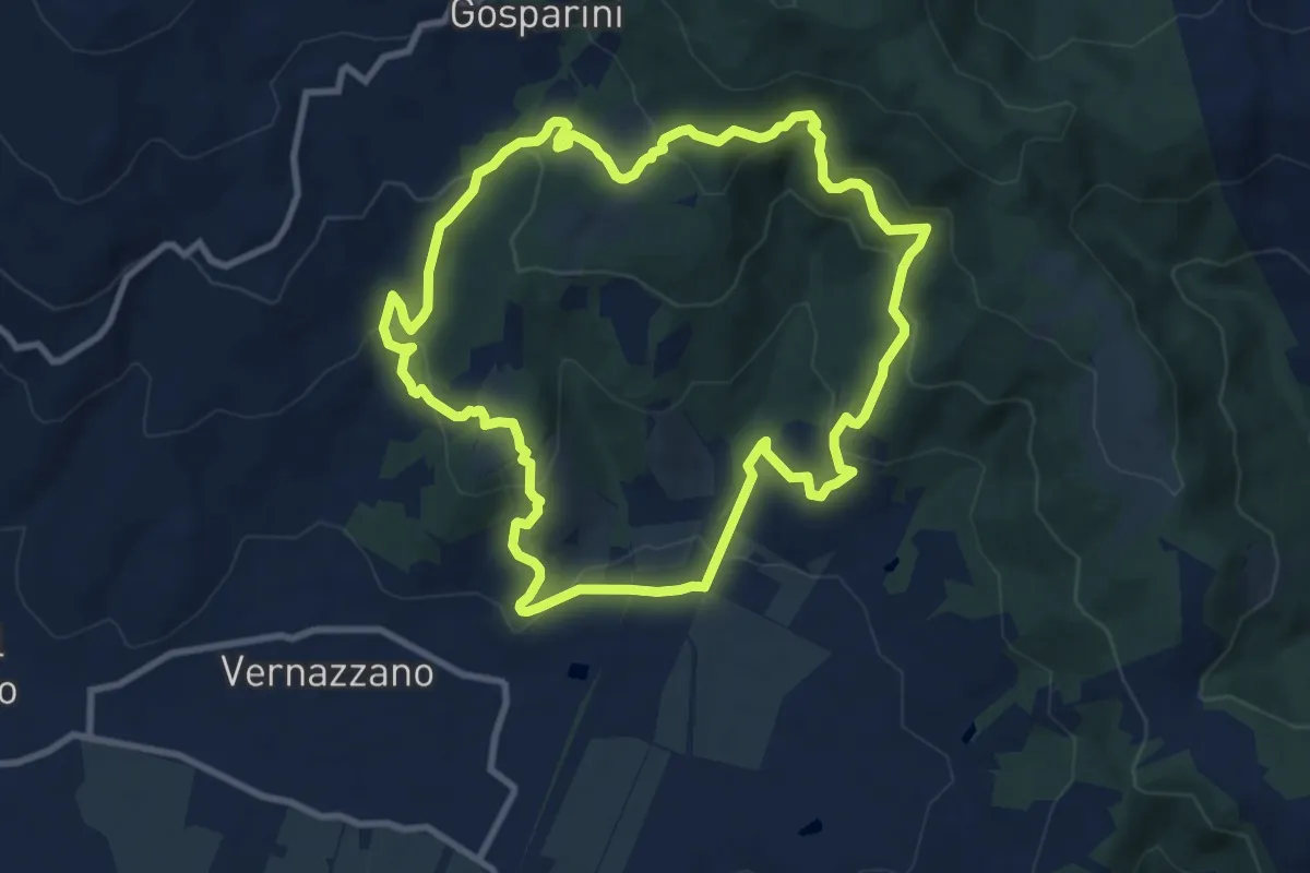
Medium · Trail
Sentiero Frassati
10.0 km · ↑ 473 m · 3 h 32 min · 12 km away
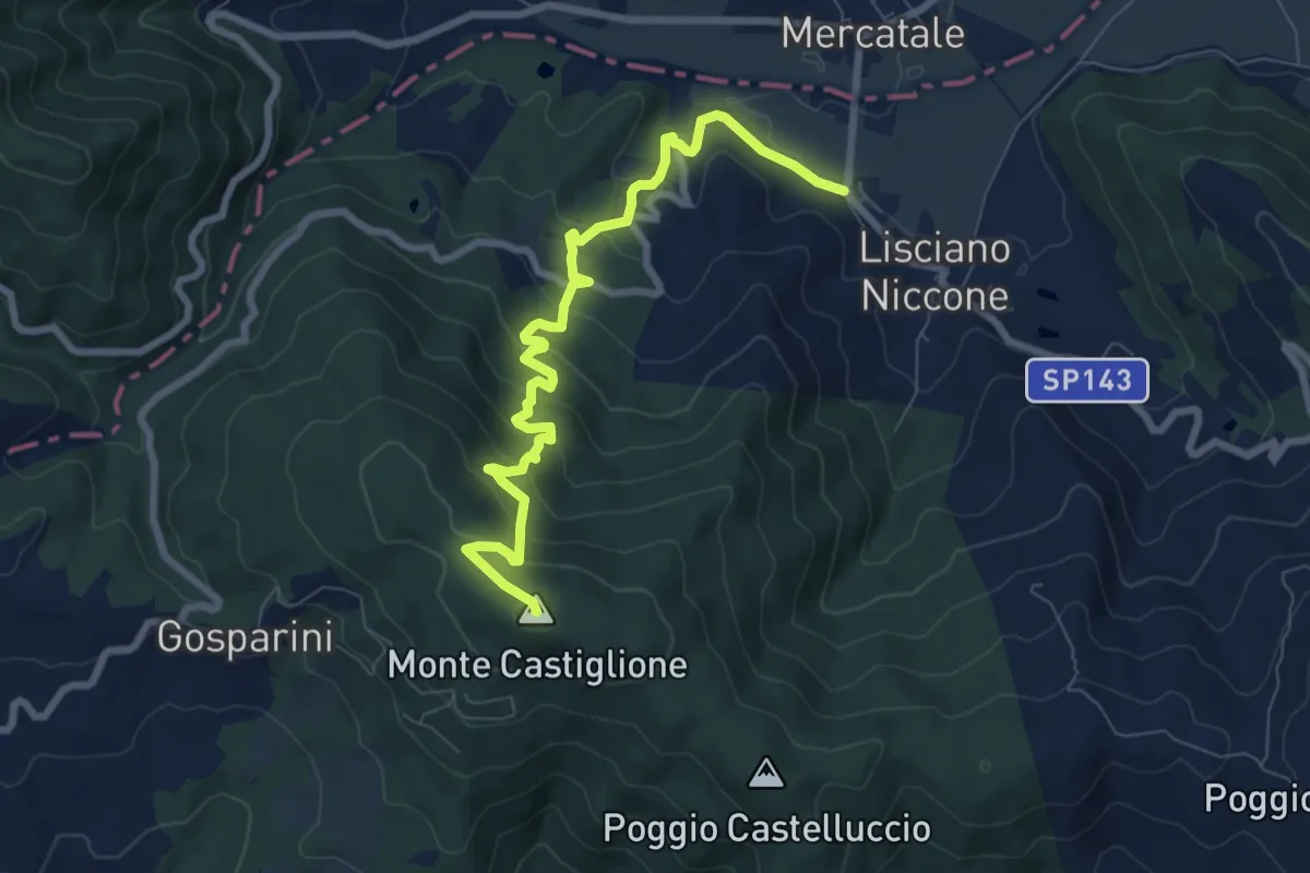
Expert · Summit
Lisciano Niccone – Monte Castiglione
8.9 km · ↑ 529 m · 3 h 14 min · 13 km away
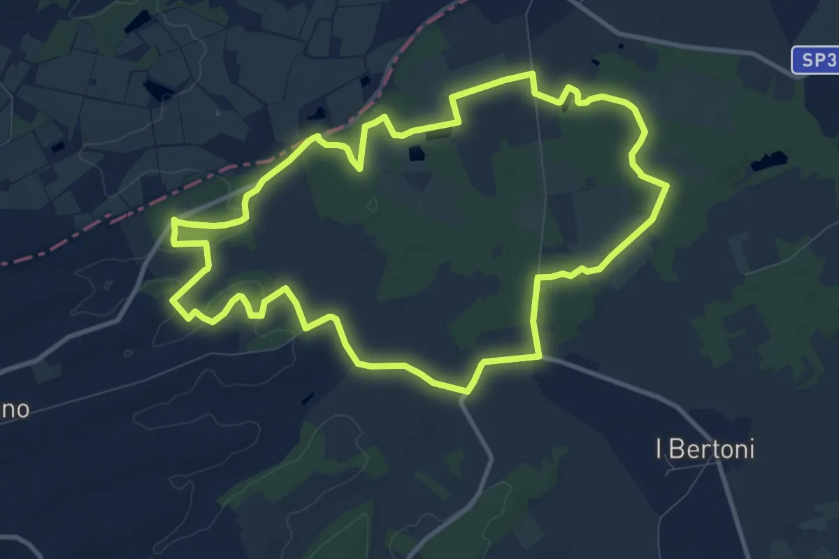
Medium · Trail
Ferretto – Ferretto
10.7 km · ↑ 81 m · 2 h 51 min · 13 km away
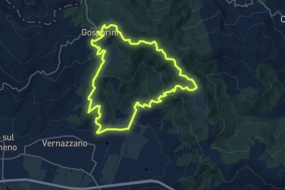
Medium · Trail
Borgo Torale – Borgo Torale
13.0 km · ↑ 552 m · 4 h 26 min · 13 km away
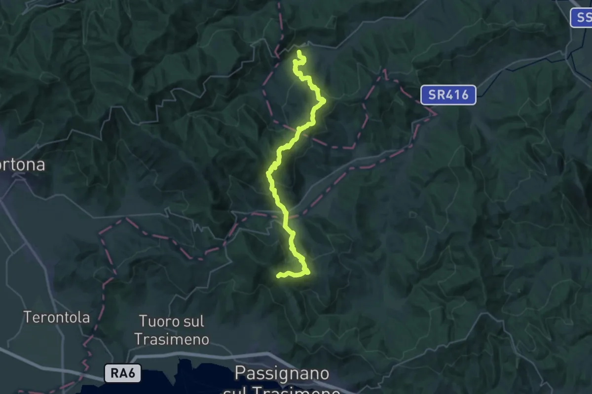
Demanding · Summit
San Leo Bastia – Passignano sul Trasimeno
34.3 km · ↑ 1679 m · 11 h 44 min · 14 km away
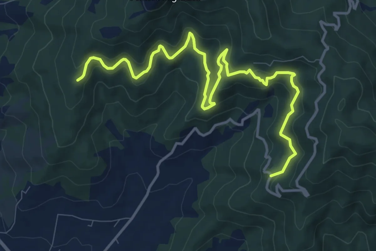
Medium · Trail
Rigutinelli – Sentiero 145
12.2 km · ↑ 709 m · 4 h 25 min · 14 km away